Trails near Montignoso
185 hikes starting within 15 km, nearest first.
Nearest first, page 2 of 4
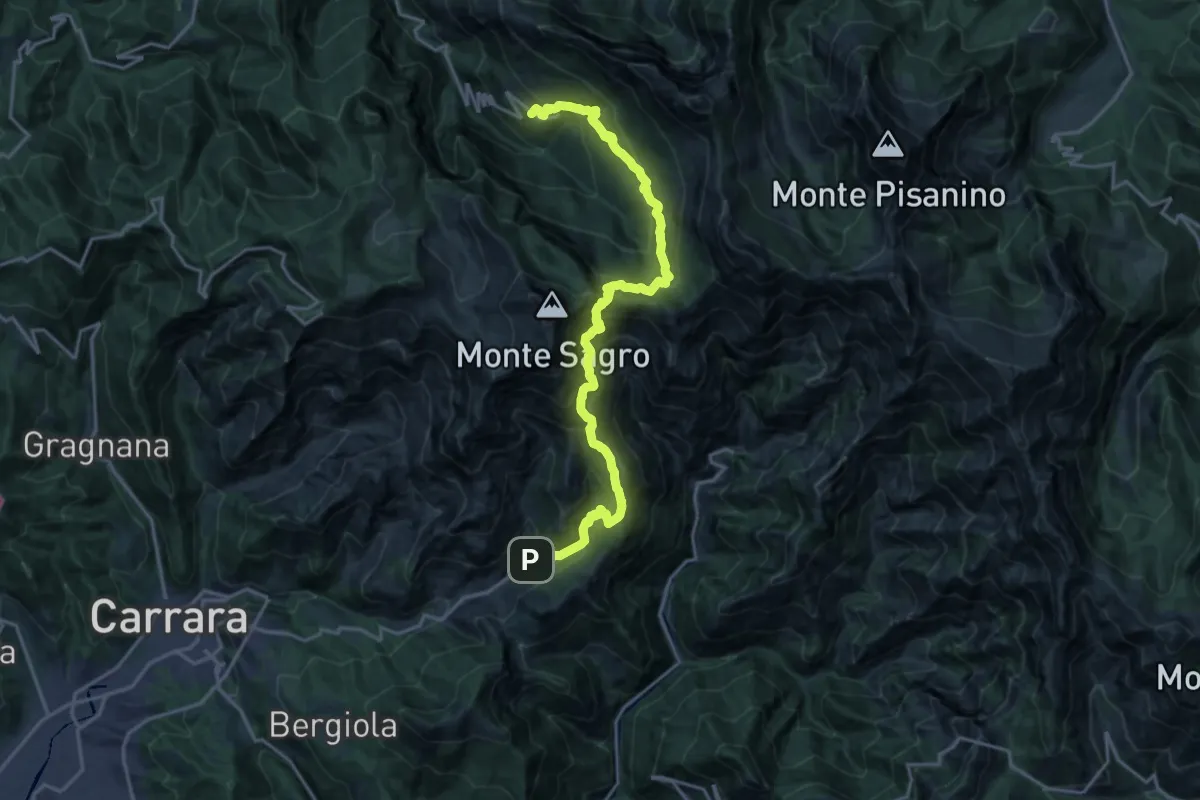
Demanding · Trail
Colonnata – Vinca
10.3 km · ↑ 1020 m · 4 h 40 min · 8 km away
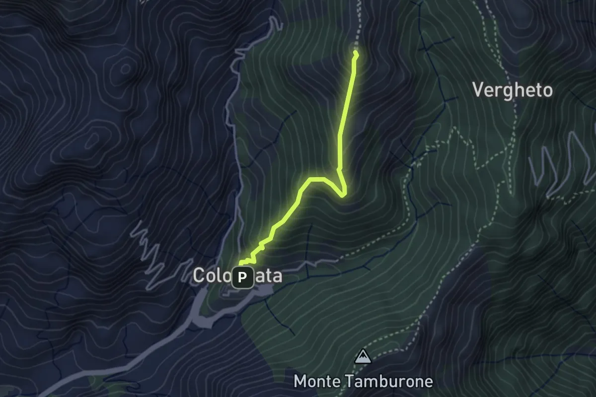
Medium · Summit
Colonnata – Vergheto
2.9 km · ↑ 404 m · 1 h 34 min · 8 km away
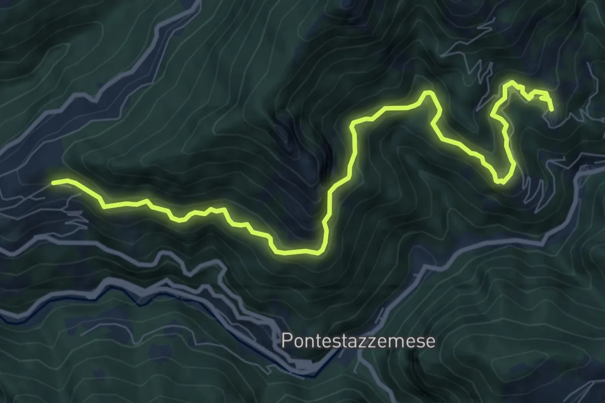
Demanding · Trail
Sentiero Alta Versilia - Tappa 07
10.5 km · ↑ 950 m · 4 h 32 min · 8 km away
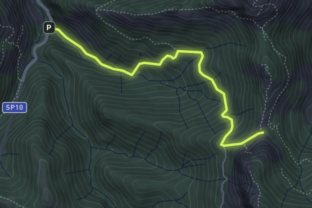
Medium · Trail
Ponte Merletti – Fociomboli
5.1 km · ↑ 497 m · 2 h 17 min · 8 km away
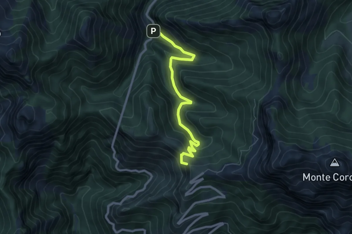
Medium · Summit
Ponte dei Merletti – Terrinca
6.4 km · ↑ 404 m · 2 h 24 min · 8 km away
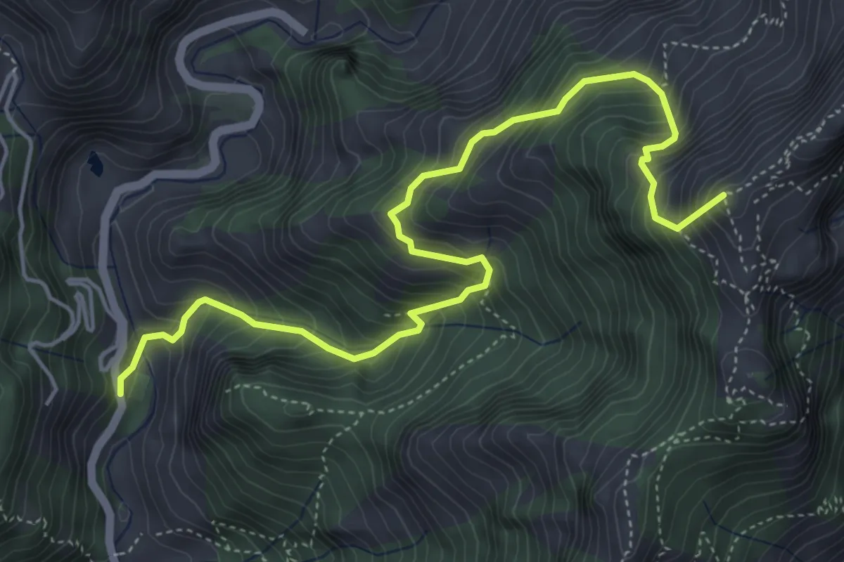
Medium · Summit
Resceto – Forno
6.0 km · ↑ 747 m · 3 h 2 min · 8 km away
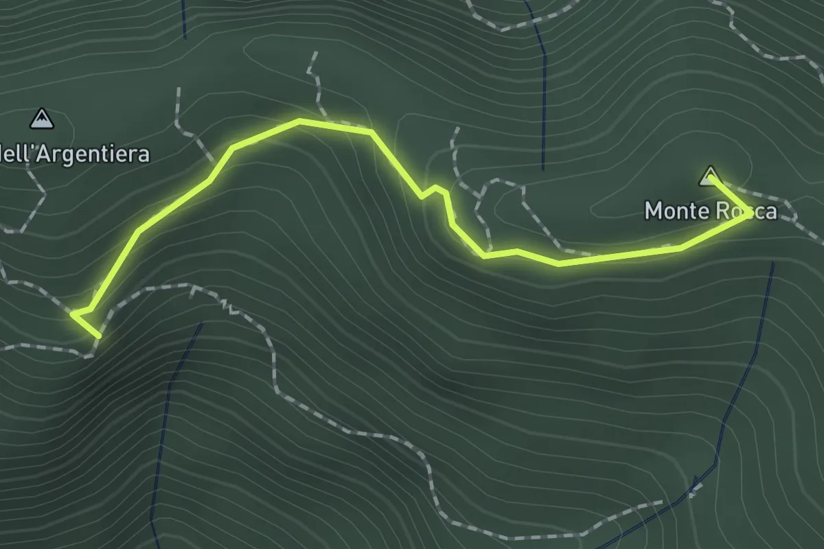
Easy · Summit
Casa Zuffone – Foce di Sant'Anna
1.8 km · ↑ 126 m · 43 min · 8 km away
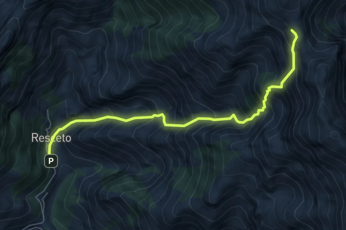
Demanding · Trail
Resceto – Foce dell Acqua Fredda
6.1 km · ↑ 1208 m · 4 h 4 min · 8 km away
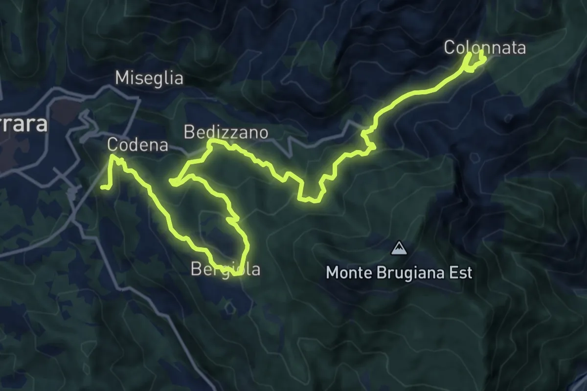
Demanding · Trail
Cammino di Aronte - Tappa 4
18.3 km · ↑ 1367 m · 7 h 16 min · 8 km away
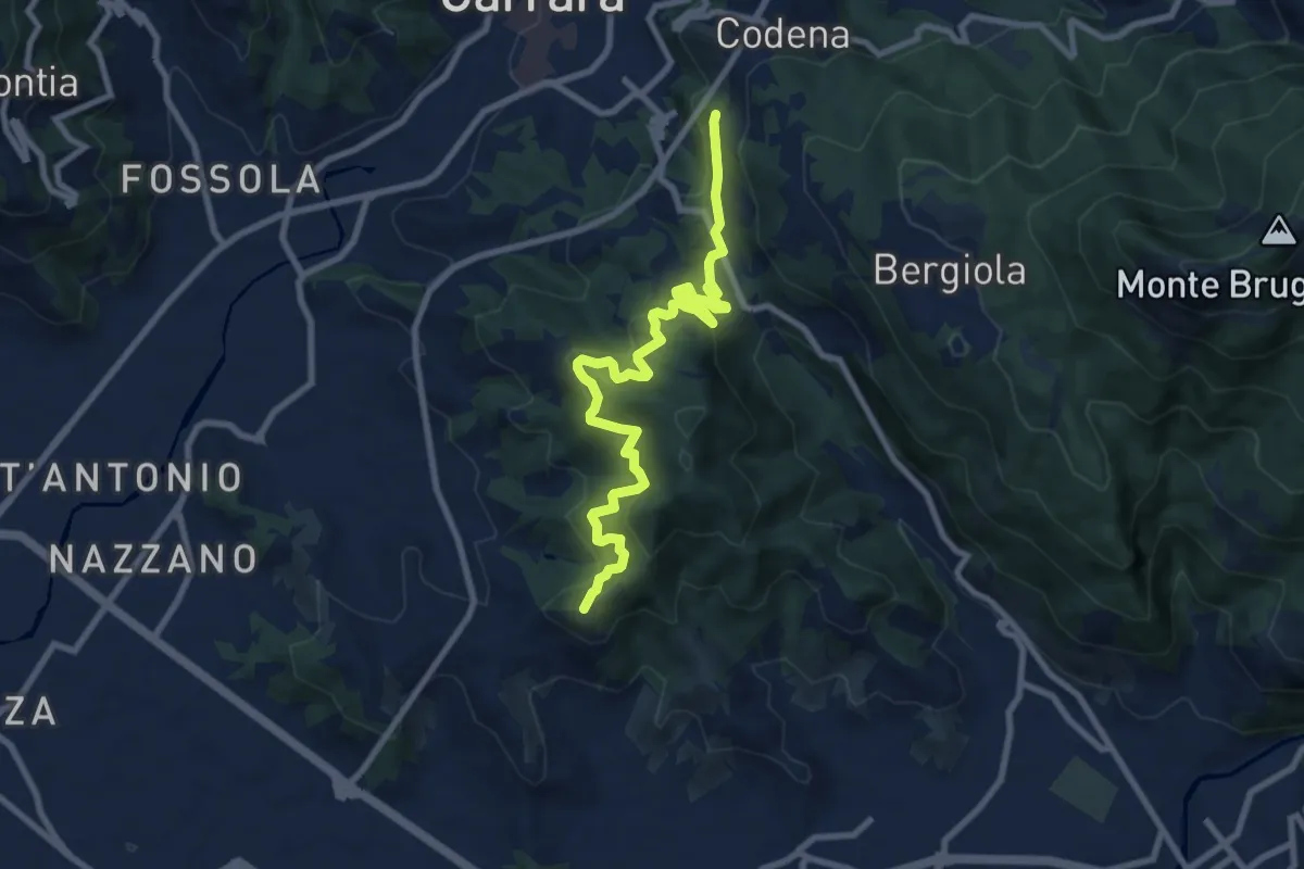
Medium · Summit
Cammino di Aronte - Tappa 5
10.0 km · ↑ 600 m · 3 h 39 min · 8 km away
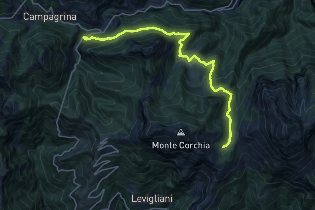
Demanding · Cabin
Tre Fiumi – Rifugio Giuseppe Del Freo
13.7 km · ↑ 1047 m · 5 h 31 min · 8 km away
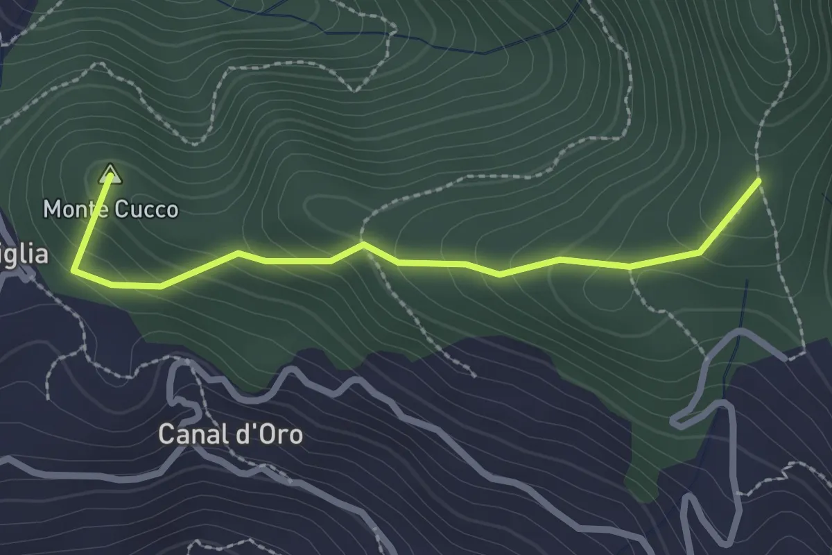
Easy · Summit
Capriglia – Le Foci
2.4 km · ↑ 181 m · 57 min · 8 km away
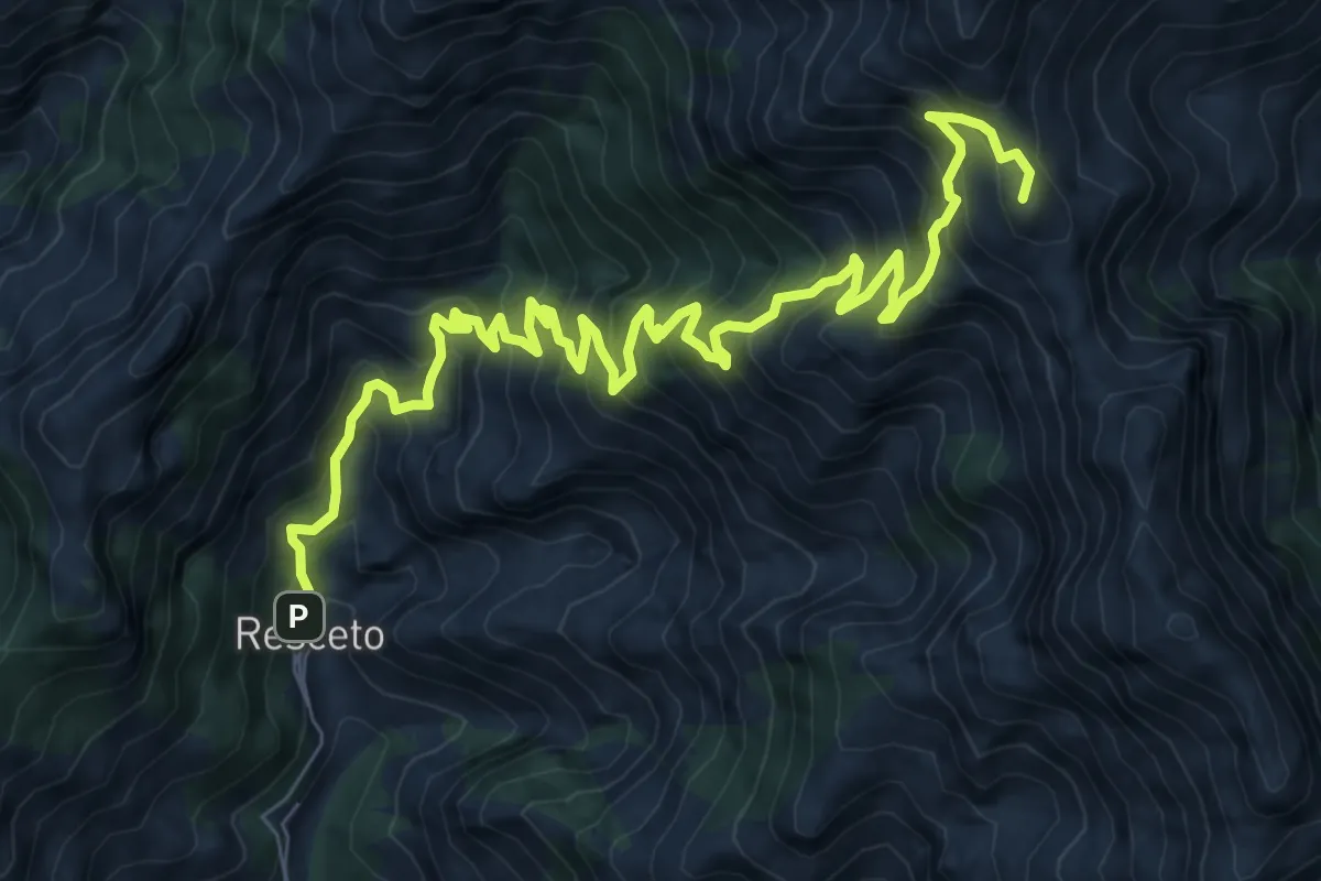
Demanding · Summit
Via Vandelli
11.2 km · ↑ 1340 m · 5 h 33 min · 8 km away
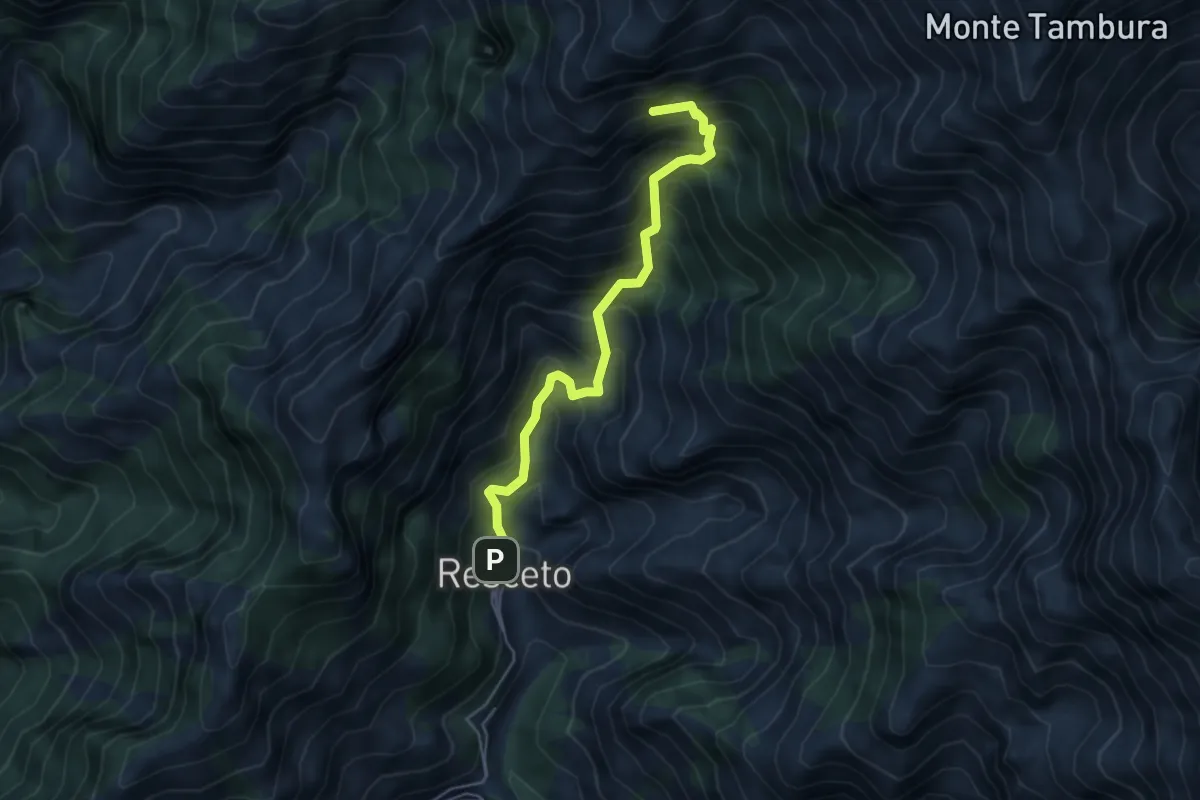
Demanding · Summit
Resceto – Sentiero CAI 162 ex 36
4.8 km · ↑ 701 m · 2 h 40 min · 8 km away
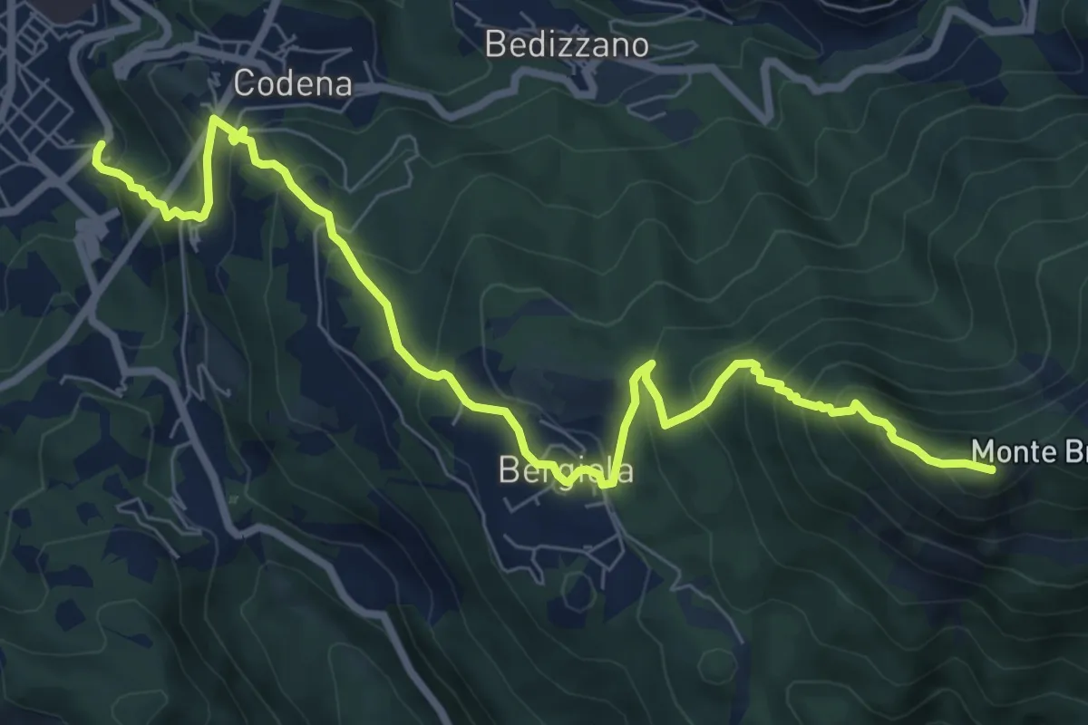
Demanding · Summit
Carrara – Monte Brugiana
9.3 km · ↑ 847 m · 4 h 2 min · 8 km away
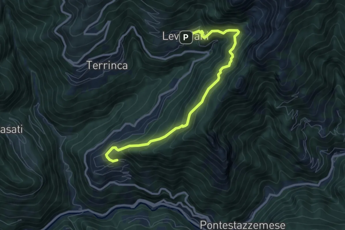
Demanding · Trail
Sentiero Alta Versilia - Tappa 06
8.4 km · ↑ 831 m · 3 h 47 min · 9 km away
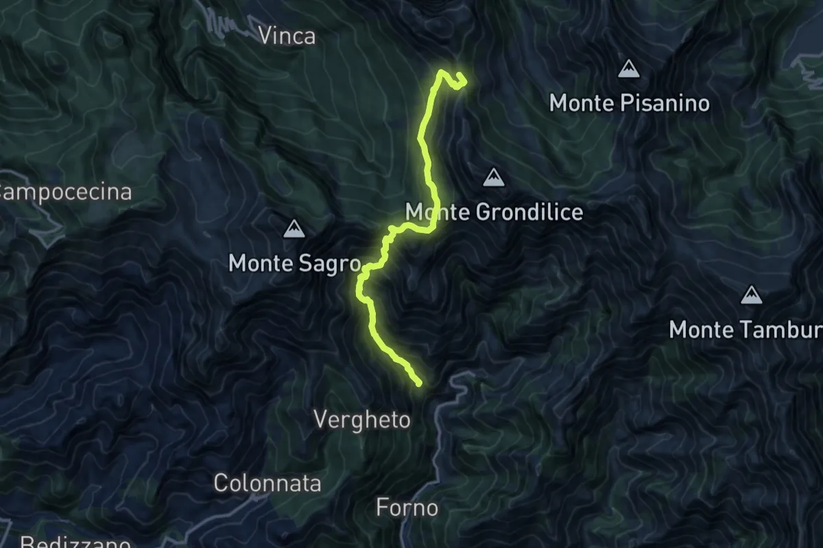
Demanding · Summit
Località Mozziconi (Forno) – Val Serenaia
12.2 km · ↑ 1328 m · 5 h 46 min · 9 km away
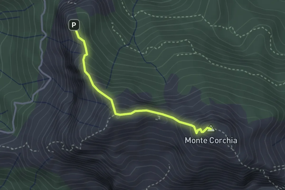
Demanding · Summit
Cresta del Monte Corchia
2.6 km · ↑ 263 m · 1 h 12 min · 9 km away
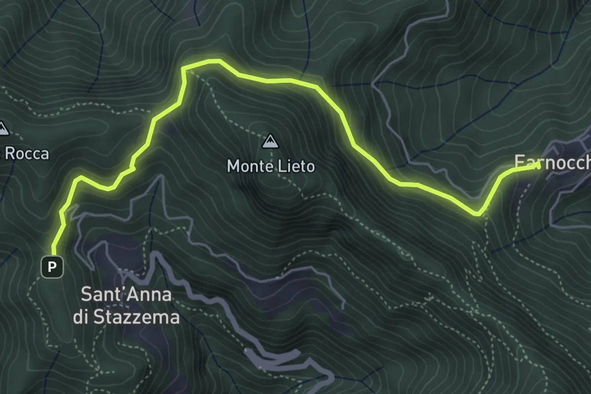
Medium · Trail
Sentiero Alta Versilia - Tappa 10
6.0 km · ↑ 450 m · 2 h 23 min · 9 km away
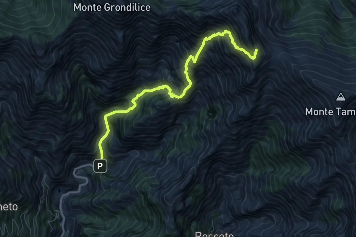
Demanding · Summit
Biforco – Passo della Focolaccia
9.3 km · ↑ 1427 m · 5 h 17 min · 9 km away
Demanding · Summit
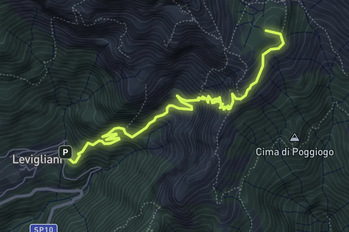
Levigliani – Foce di Mosceta
7.5 km · ↑ 977 m · 3 h 53 min · 9 km away
Medium · Summit
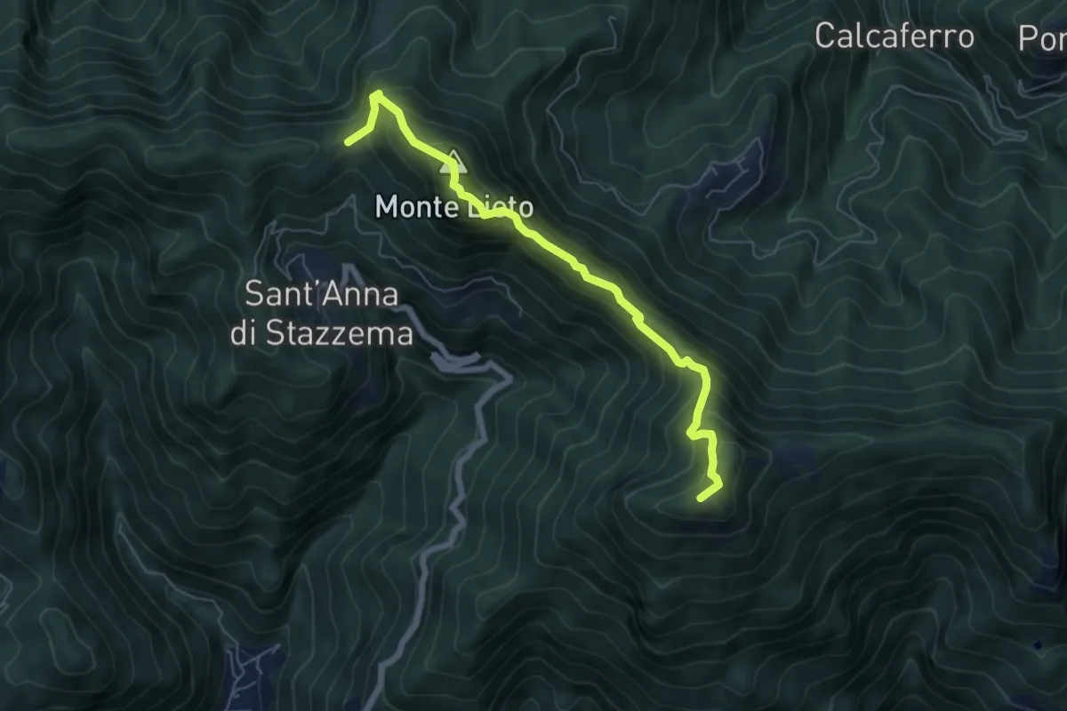
Foce di Sant'Anna – Percorso 117 (base "gradino Hillary")
6.3 km · ↑ 681 m · 2 h 58 min · 9 km away
Demanding · Summit
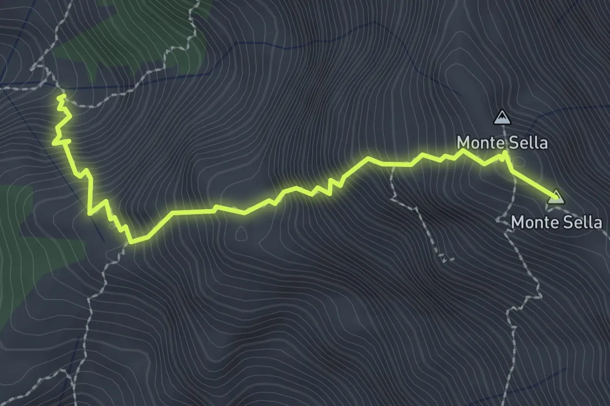
Percorso 165 – Monte Sella
2.8 km · ↑ 558 m · 1 h 52 min · 9 km away
Expert · Summit
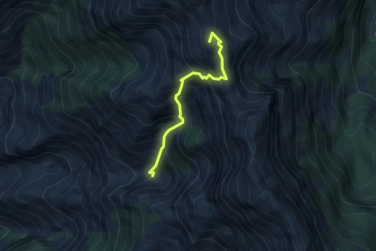
Canale della Neve – Passo della Tambura
3.6 km · ↑ 530 m · 1 h 59 min · 9 km away
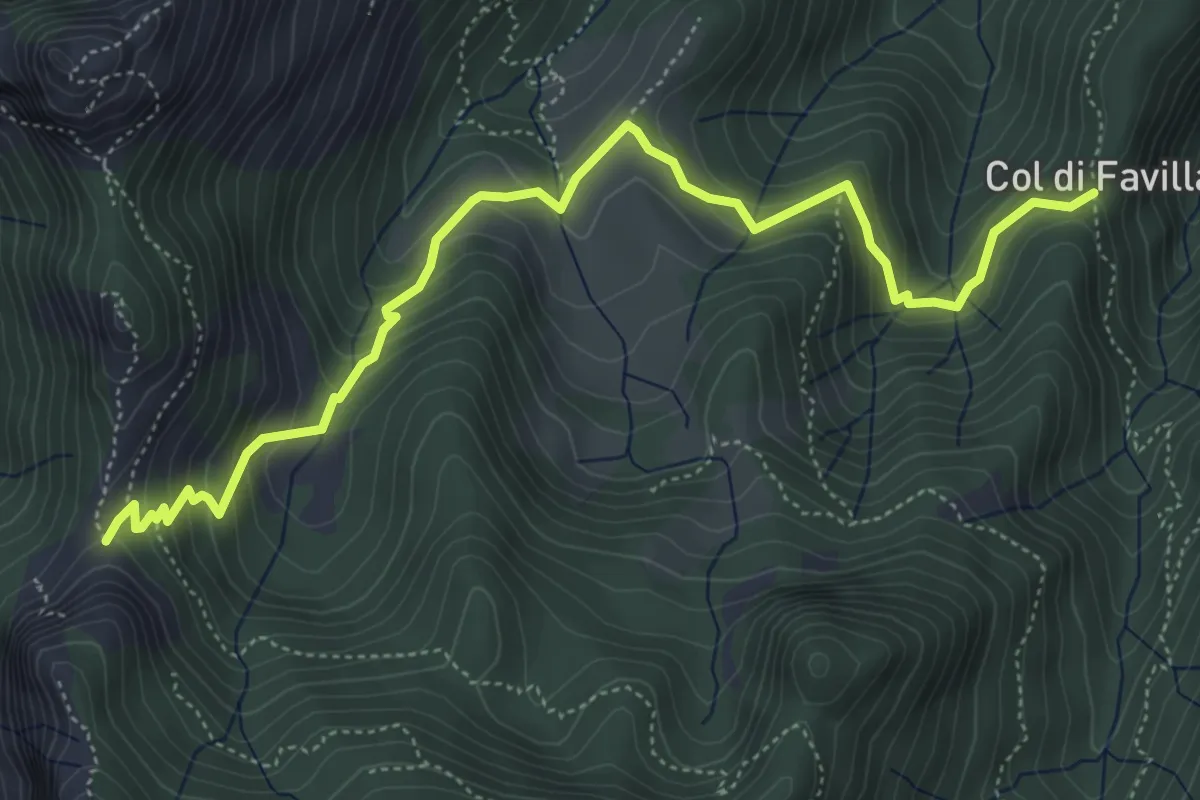
Medium · Trail
Fociomboli – Col di Favilla
6.3 km · ↑ 461 m · 2 h 29 min · 9 km away
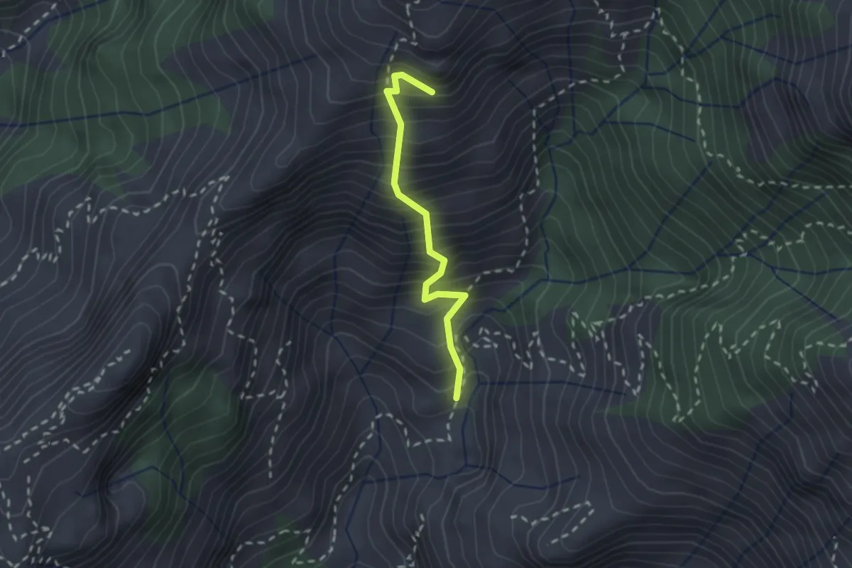
Medium · Summit
Lizza del Padulello
2.0 km · ↑ 490 m · 1 h 32 min · 9 km away
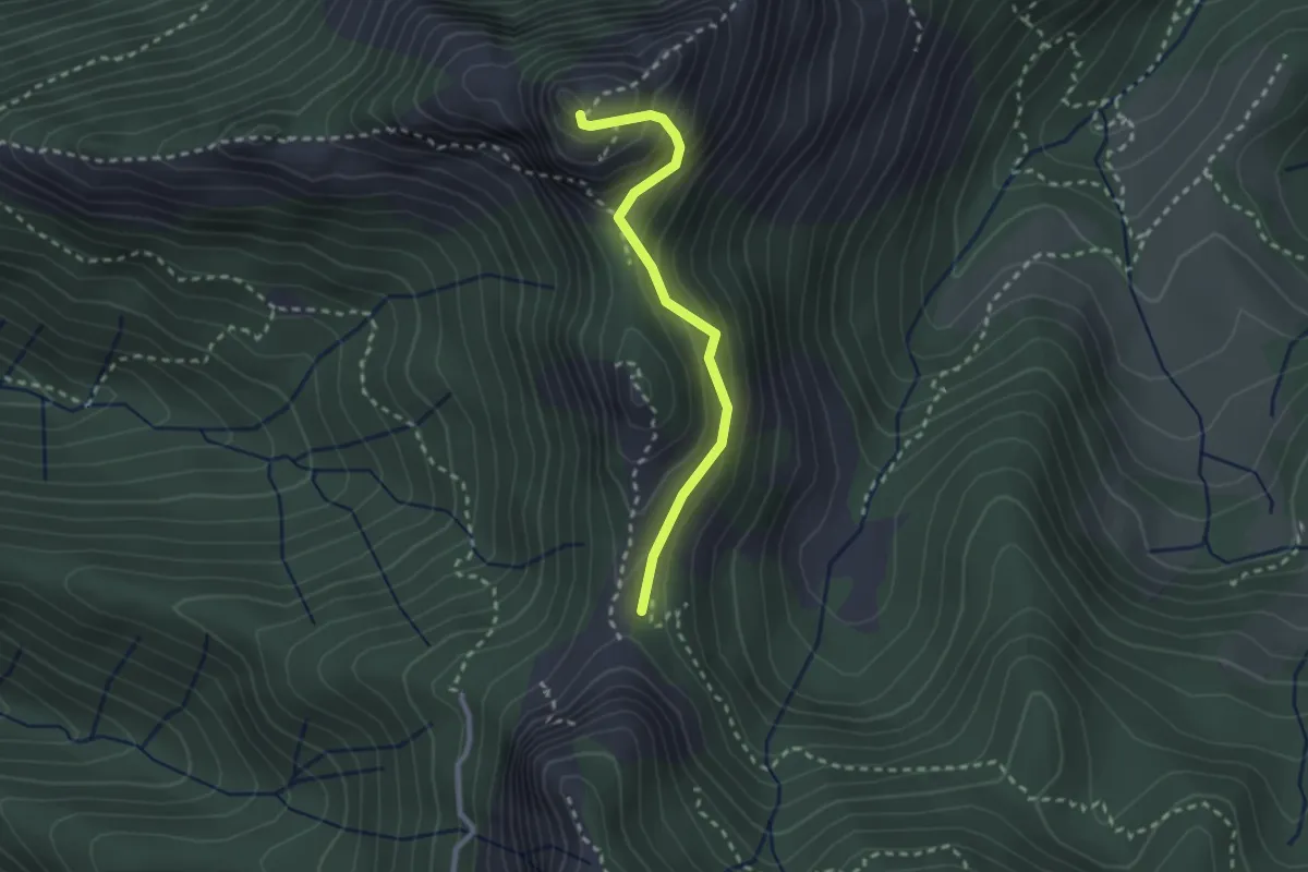
Demanding · Summit
Via Normale Monte Freddone
2.5 km · ↑ 199 m · 1 h 1 min · 9 km away
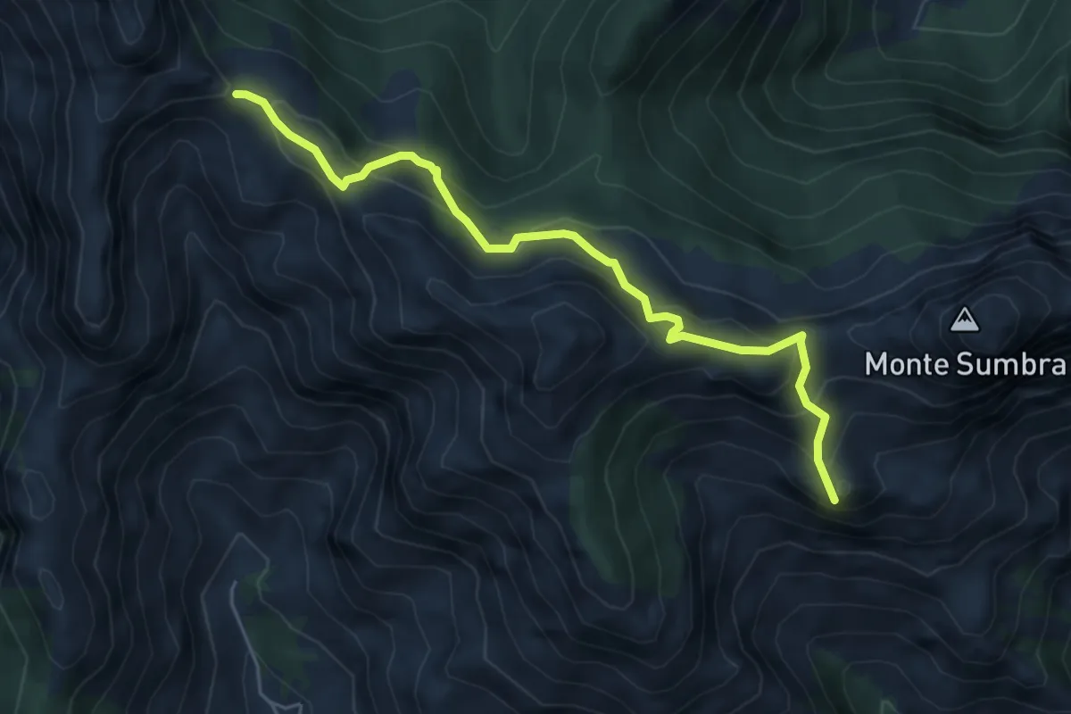
Demanding · Summit
Arni – Passo Sella
5.7 km · ↑ 476 m · 2 h 23 min · 9 km away
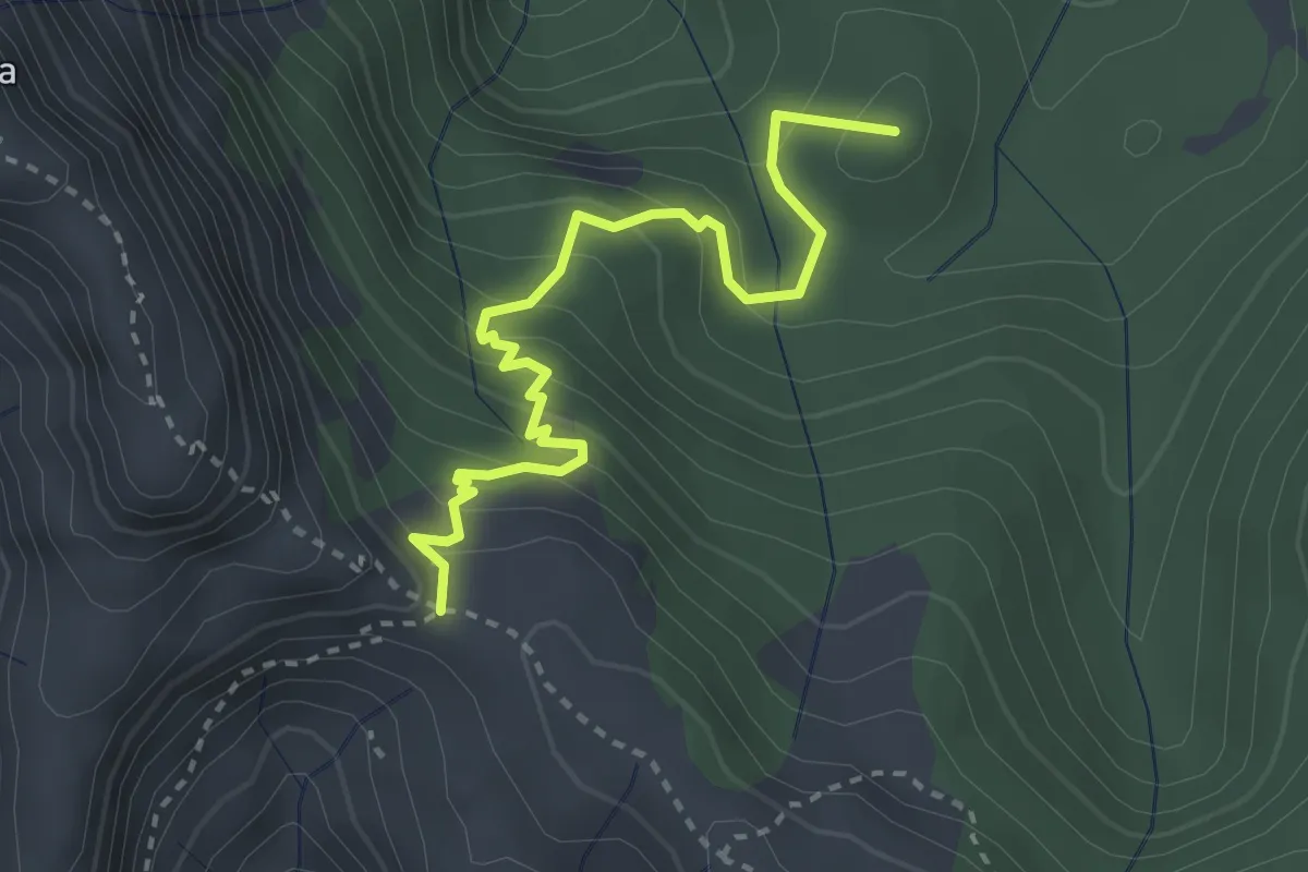
Medium · Summit
Arnetola – Cave delle Cervaiole
3.3 km · ↑ 287 m · 1 h 24 min · 9 km away
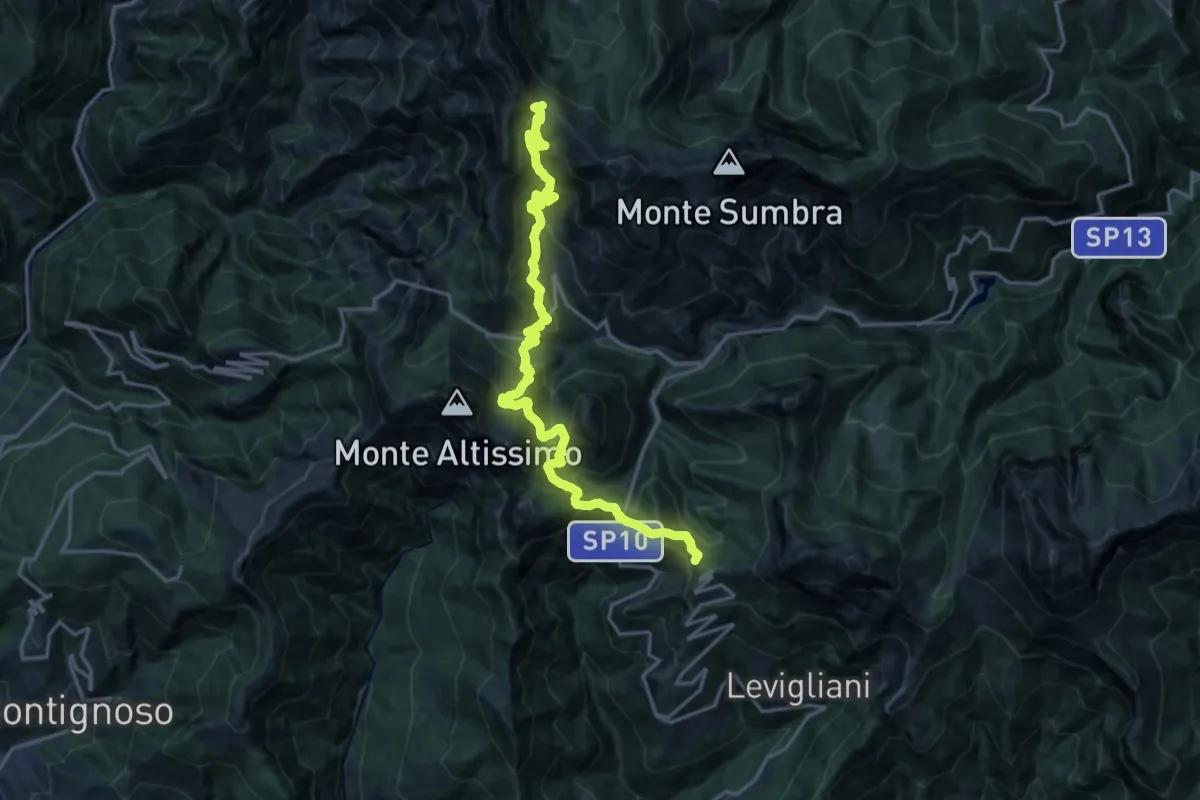
Demanding · Summit
Foce di Mosceta – Passo Sella
20.3 km · ↑ 1754 m · 8 h 35 min · 9 km away
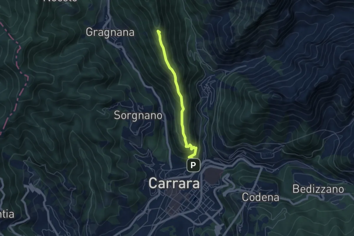
Medium · Summit
Carrara (San Rocco) – La Pianaccia
4.8 km · ↑ 356 m · 1 h 54 min · 9 km away
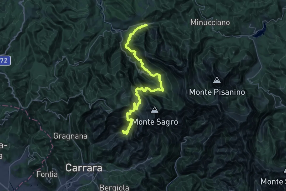
Demanding · Trail
Ravaccione – Equi Terme
17.2 km · ↑ 1454 m · 7 h 33 min · 10 km away
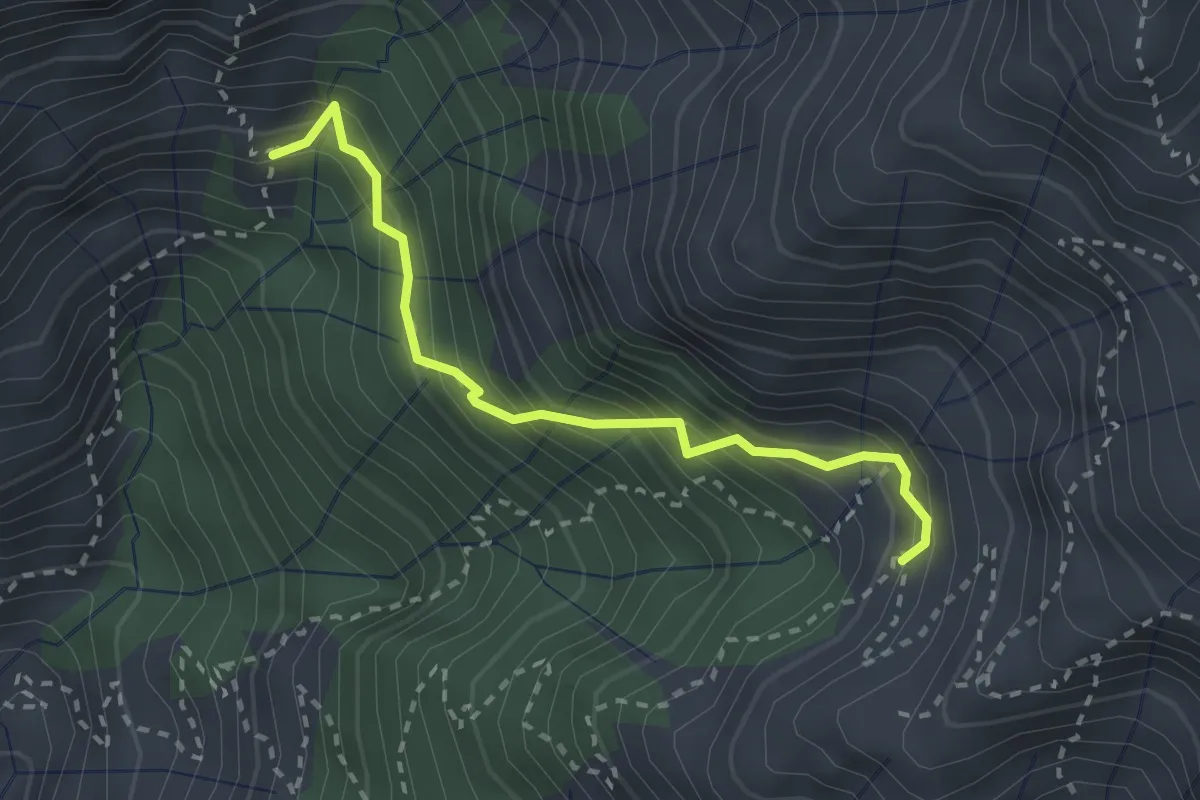
Demanding · Trail
Via Vandelli (Percorso 135) – Quota 1000 Canal Pianone
2.6 km · ↑ 389 m · 1 h 27 min · 10 km away
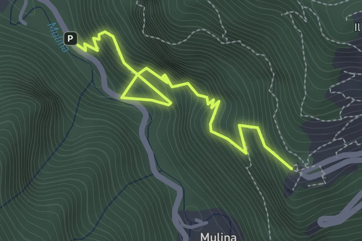
Medium · Trail
Sentiero del Santuario del Piastraio
3.1 km · ↑ 393 m · 1 h 35 min · 10 km away
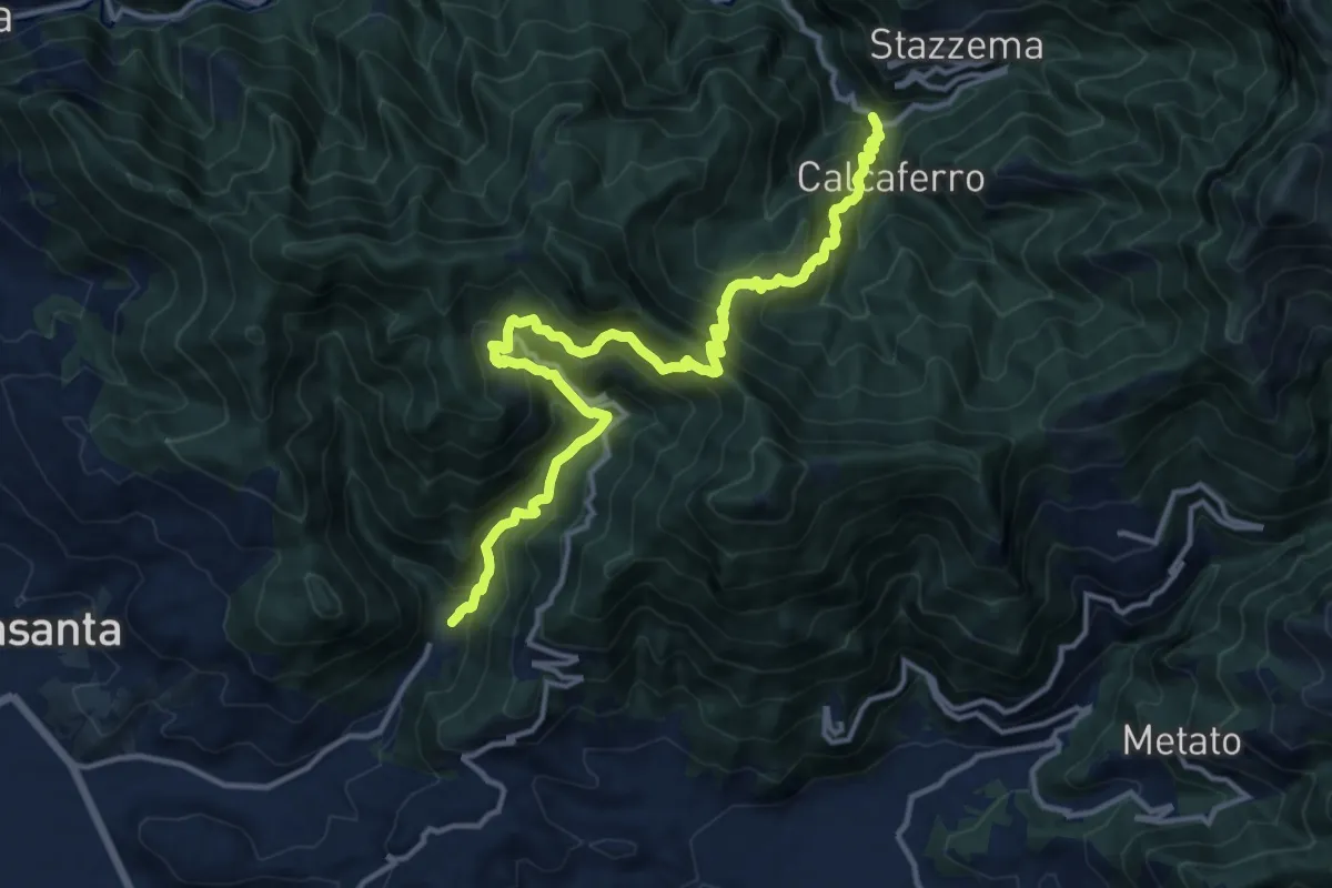
Demanding · Trail
Valdicastello Carducci – Mulina
16.0 km · ↑ 1447 m · 6 h 55 min · 10 km away
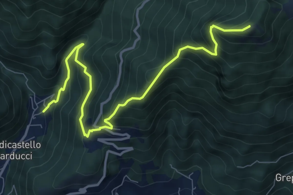
Demanding · Summit
Valdicastello Carducci – Foce di San Rocchino
8.8 km · ↑ 1020 m · 4 h 18 min · 10 km away
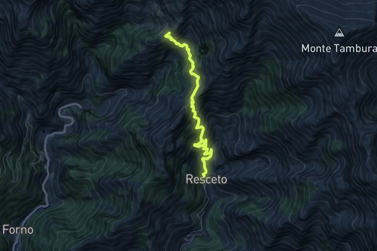
Demanding · Trail
Resceto – Case Carpano
6.9 km · ↑ 851 m · 3 h 29 min · 10 km away
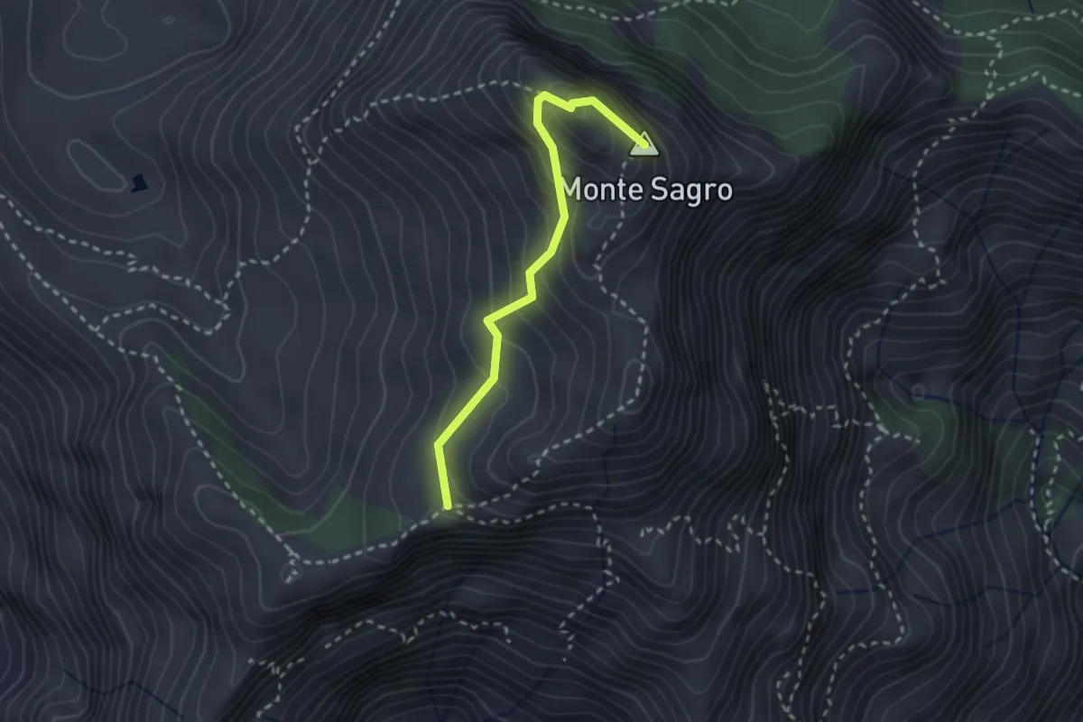
Medium · Summit
Via Normale al Sagro
2.5 km · ↑ 246 m · 1 h 8 min · 10 km away
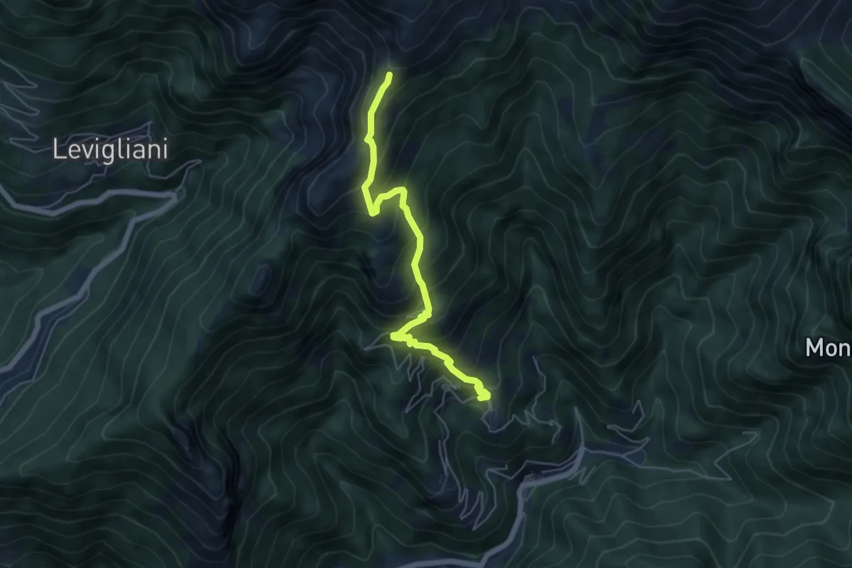
Medium · Trail
Pruno – Passo dell'Alpino
5.5 km · ↑ 611 m · 2 h 37 min · 10 km away
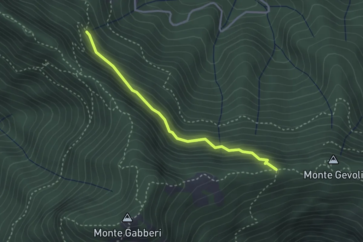
Medium · Trail
Sentiero della Pietralunga
2.9 km · ↑ 230 m · 1 h 11 min · 10 km away
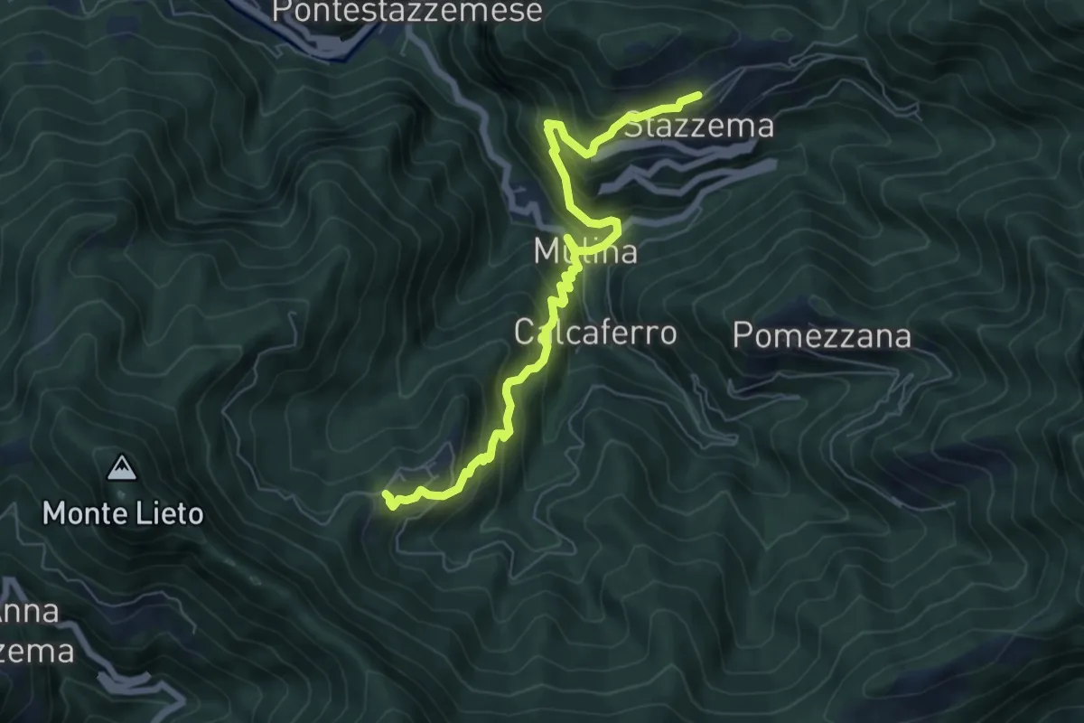
Medium · Trail
Sentiero Alta Versilia - Tappa 09
7.3 km · ↑ 652 m · 3 h 8 min · 10 km away
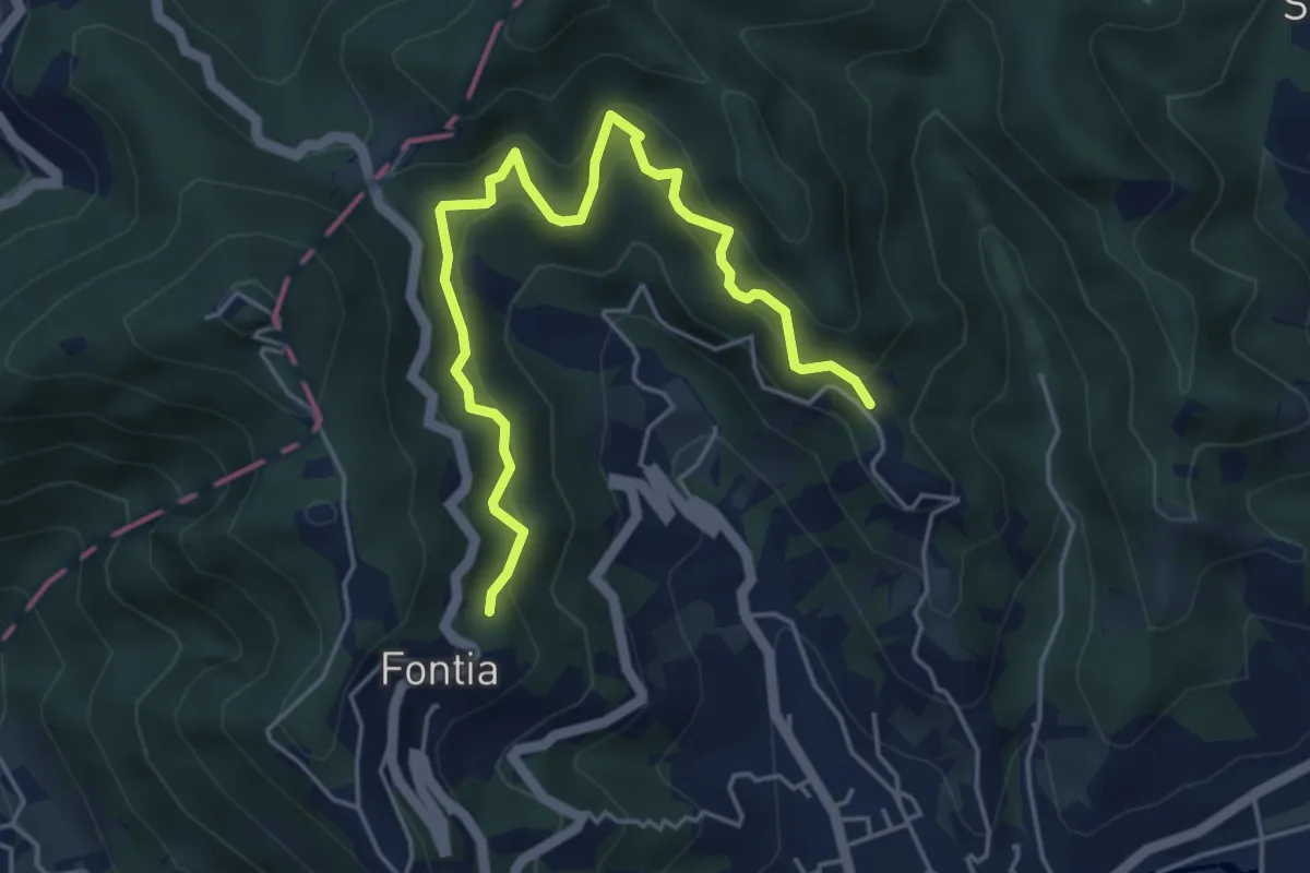
Medium · Trail
Cammino di Aronte - Tappa 1
5.5 km · ↑ 548 m · 2 h 29 min · 10 km away
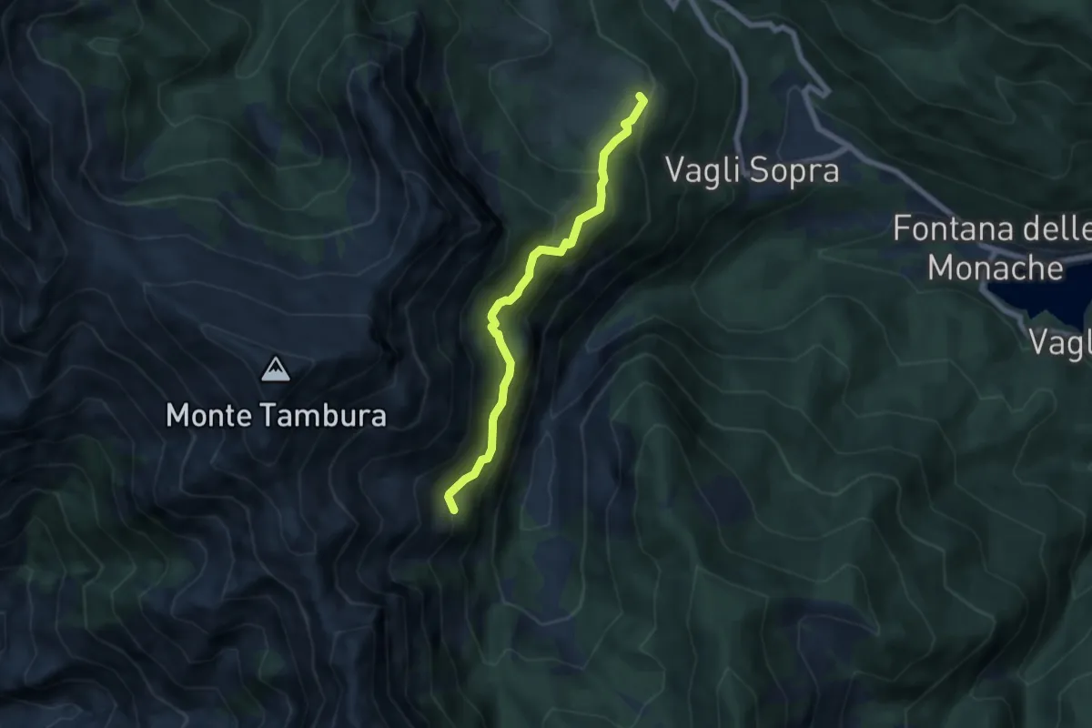
Expert · Trail
Campocatino – Percorso 135
5.7 km · ↑ 430 m · 2 h 16 min · 11 km away
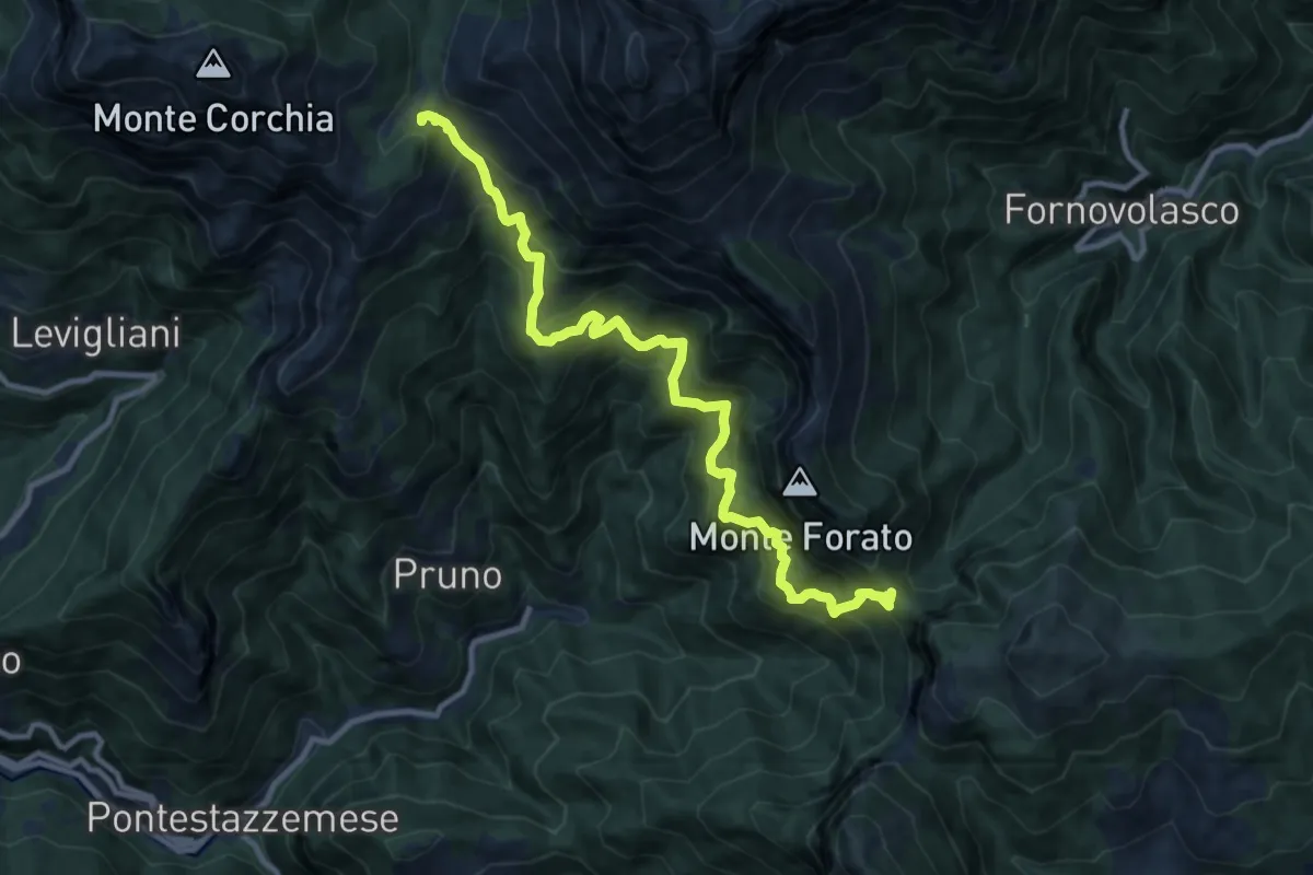
Demanding · Trail
Foce di Mosceta – Foce di Petrosciana
11.8 km · ↑ 1248 m · 5 h 29 min · 11 km away
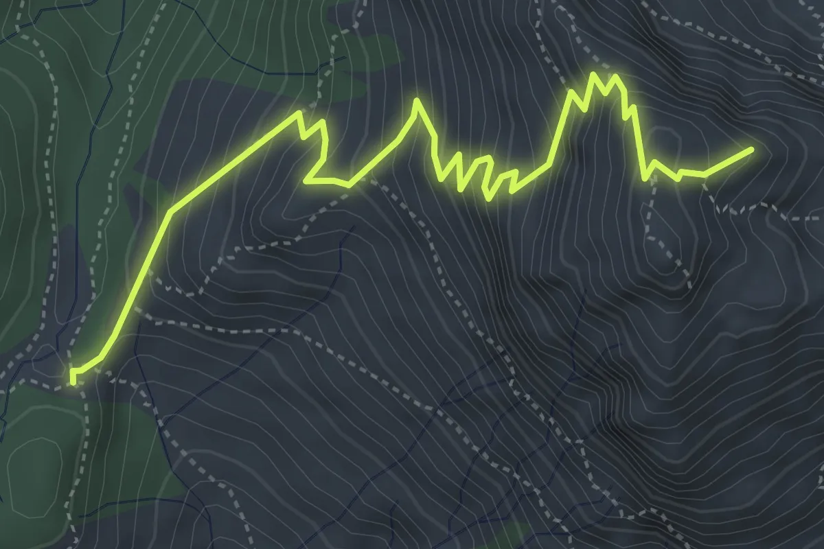
Medium · Summit
Foce di Mosceta – Focetta del Puntone
5.8 km · ↑ 728 m · 2 h 57 min · 11 km away
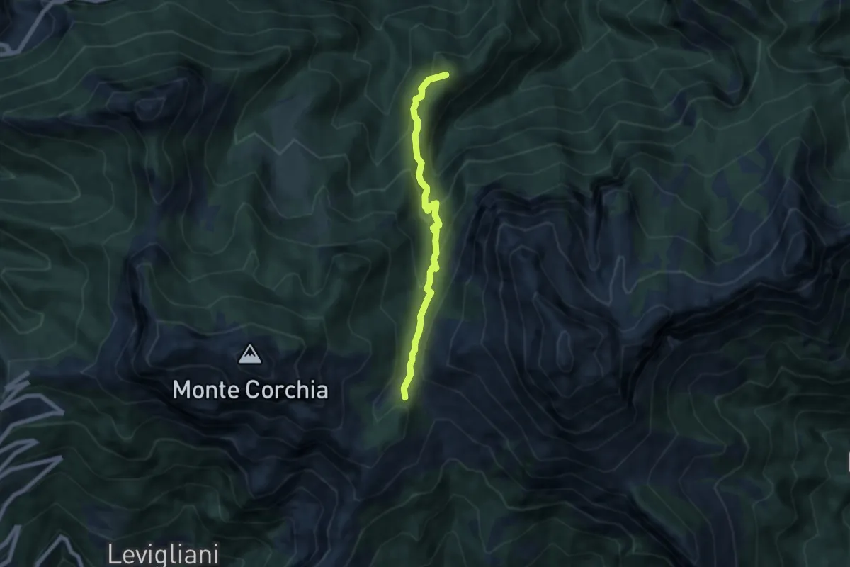
Medium · Summit
Foce di Mosceta – Isola Santa
6.0 km · ↑ 470 m · 2 h 26 min · 11 km away
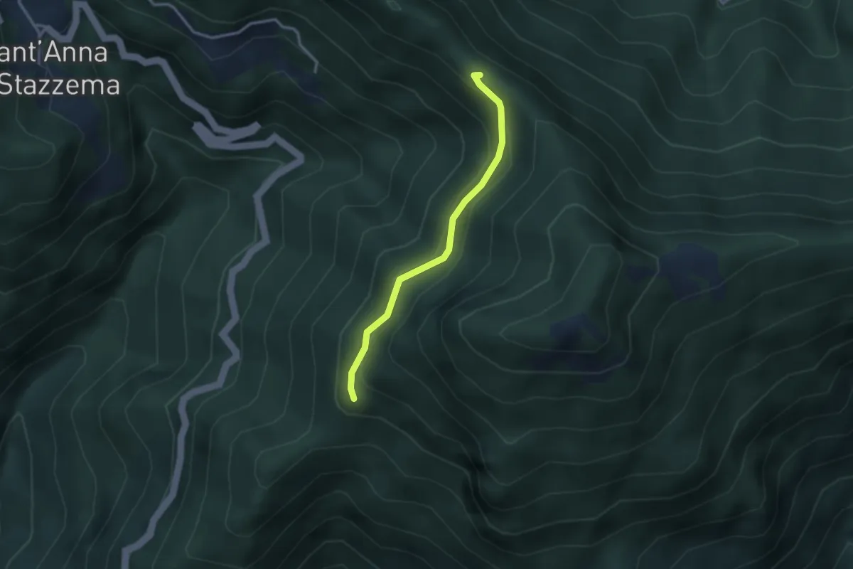
Medium · Trail
Percorso 107 – Foce di Farnocchia
2.6 km · ↑ 179 m · 1 h · 11 km away
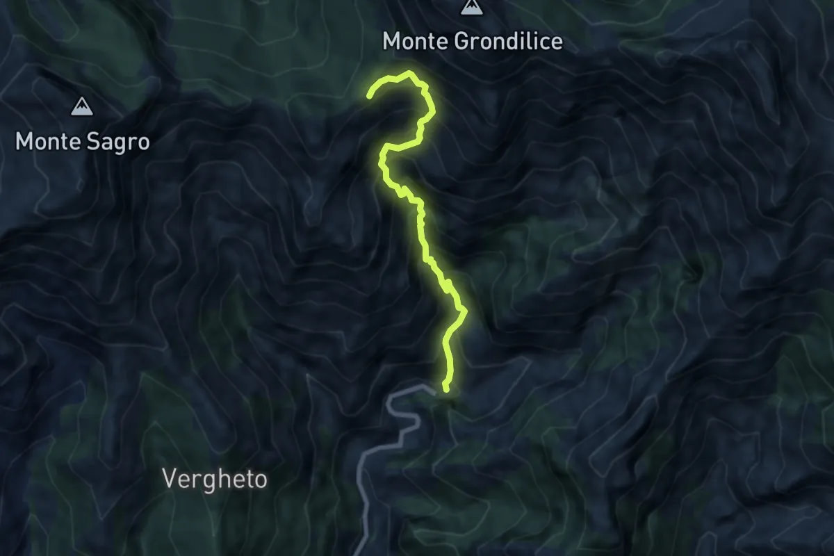
Demanding · Trail
Biforco – Foce Rasori
6.5 km · ↑ 1081 m · 3 h 53 min · 11 km away