Trails near Montignoso
185 hikes starting within 15 km, nearest first.
Nearest first, page 3 of 4
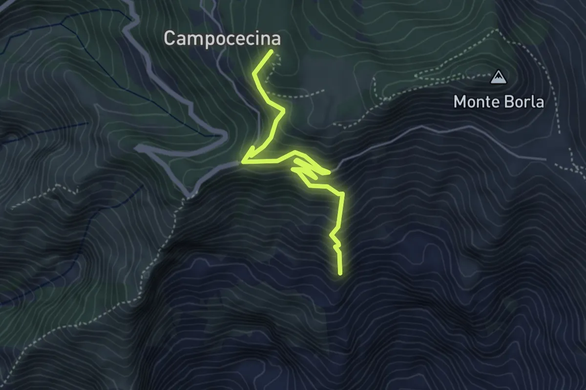
Medium · Summit
Torano – Rifugio Carrara
4.5 km · ↑ 586 m · 2 h 20 min · 11 km away
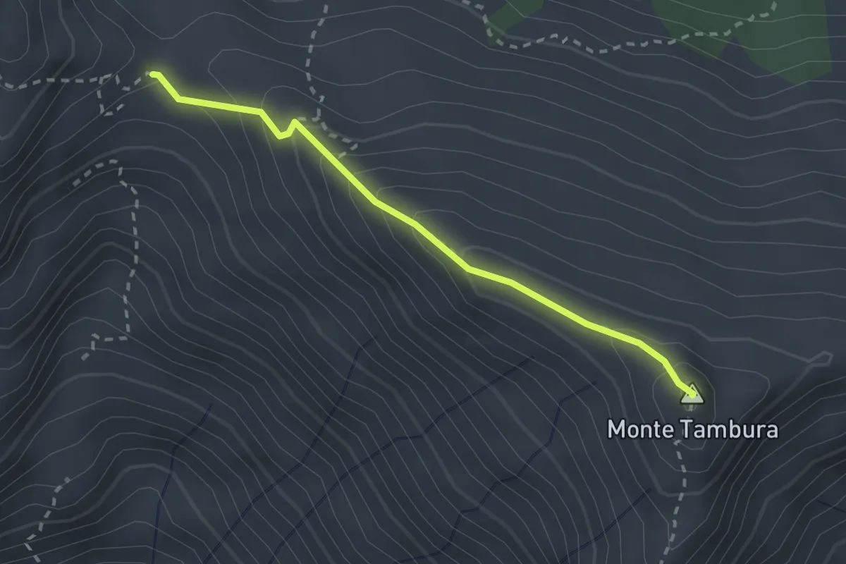
Demanding · Summit
Passo Della Focolaccia – Passo della Tambura
2.4 km · ↑ 186 m · 58 min · 11 km away
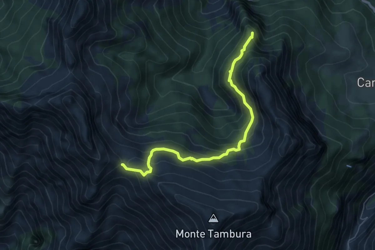
Demanding · Summit
Vagli Sopra – Passo della Focolaccia
6.3 km · ↑ 525 m · 2 h 38 min · 11 km away
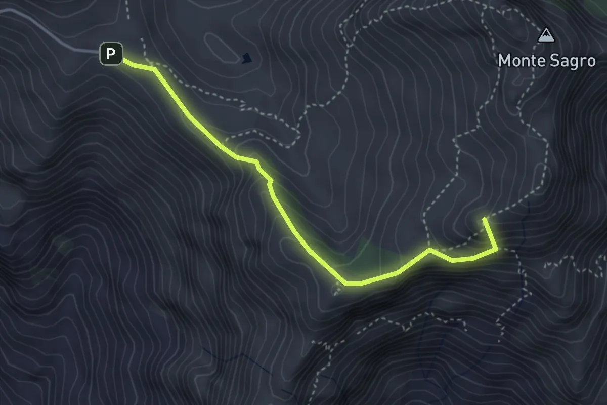
Demanding · Summit
Foce di Pianza – Foce Luccica
3.8 km · ↑ 302 m · 1 h 33 min · 11 km away
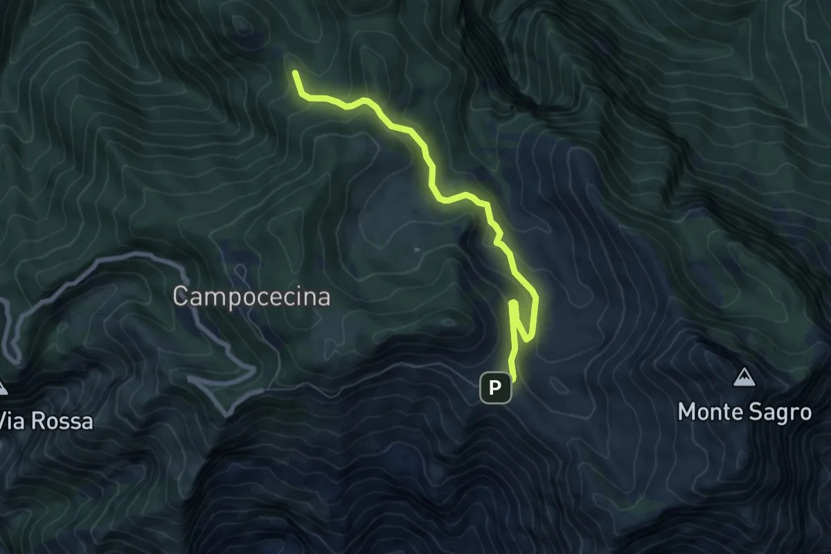
Medium · Trail
Foce di Pianza – Casa Cardeto
7.0 km · ↑ 327 m · 2 h 22 min · 11 km away
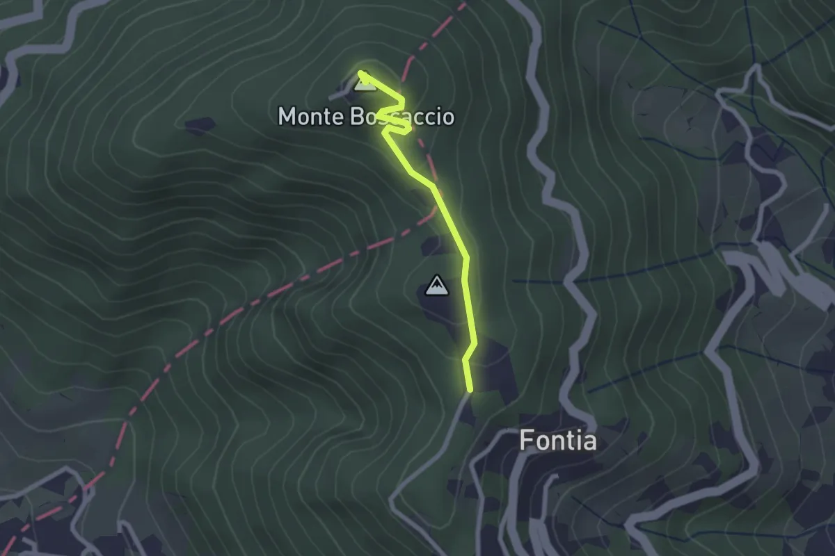
Easy · Summit
Percorso 370 – Percorso 368
2.0 km · ↑ 87 m · 39 min · 11 km away
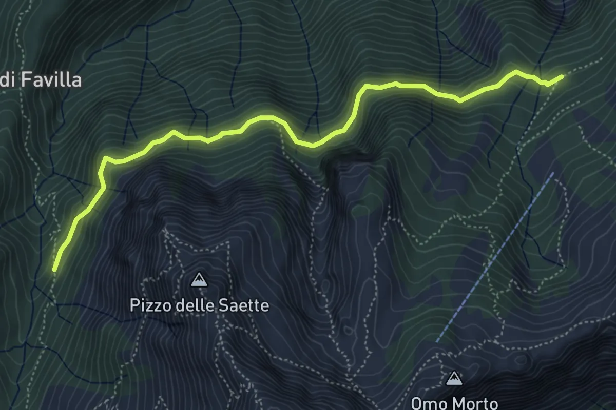
Medium · Cabin
Percorso 7 – Percorso 9
5.9 km · ↑ 428 m · 2 h 19 min · 11 km away
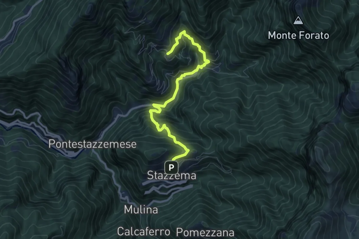
Medium · Trail
Sentiero Alta Versilia - Tappa 08
8.5 km · ↑ 644 m · 3 h 25 min · 11 km away
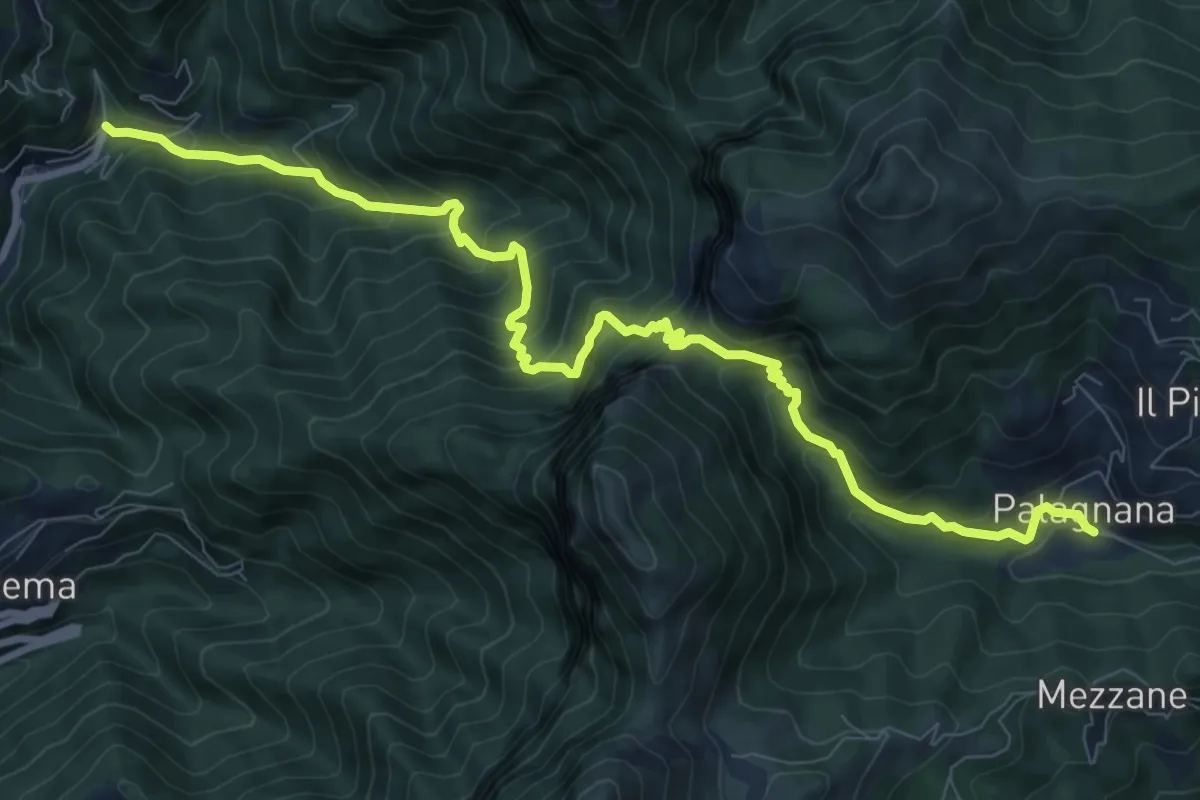
Demanding · Trail
Cardoso – Palagnana
10.8 km · ↑ 1052 m · 4 h 50 min · 11 km away
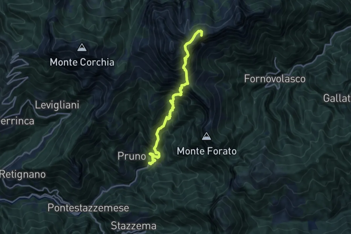
Demanding · Summit
Cardoso – Piglionico
11.5 km · ↑ 1699 m · 6 h 24 min · 11 km away
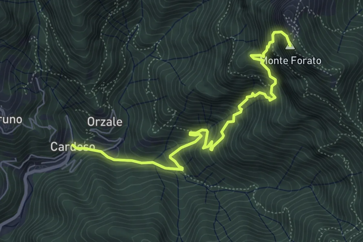
Demanding · Summit
Cardoso – Fornovolasco
6.7 km · ↑ 965 m · 3 h 41 min · 11 km away
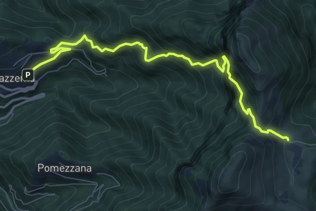
Demanding · Cabin
Stazzema – Rifugio Alto Matanna
8.6 km · ↑ 1295 m · 4 h 50 min · 11 km away
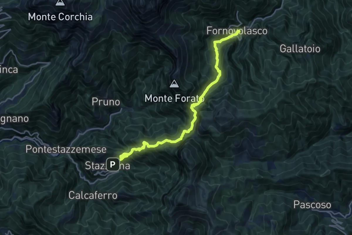
Demanding · Trail
Stazzema – Fornovolasco
15.4 km · ↑ 1229 m · 6 h 17 min · 11 km away
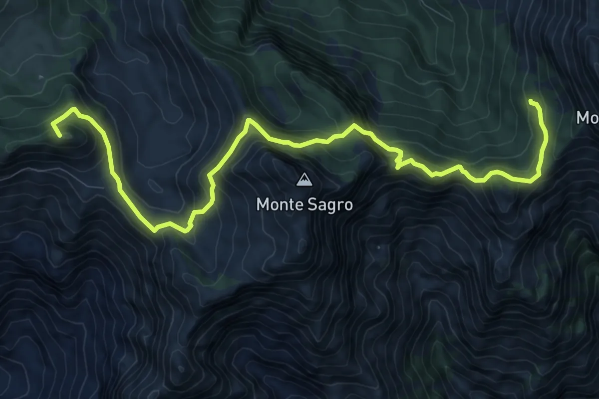
Demanding · Summit
Rifugio Carrara – Capanna Garnerone
12.4 km · ↑ 912 m · 4 h 54 min · 11 km away
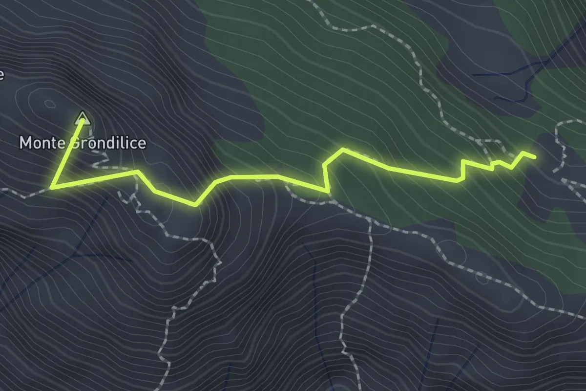
Demanding · Summit
Foce di Rasori – Orto di Donna
2.1 km · ↑ 266 m · 1 h 4 min · 11 km away
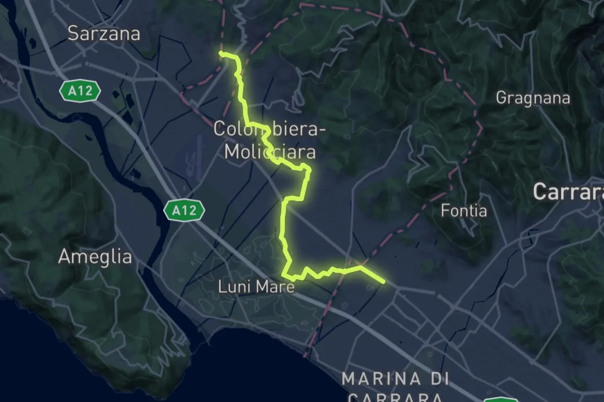
Medium · Pilgrim path
Via Francigena - 06 Toscana
10.5 km · ↑ 63 m · 2 h 44 min · 12 km away
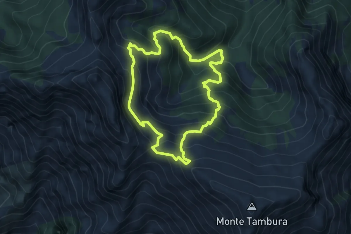
Demanding · Trail
Sentiero dei meno mille
5.1 km · ↑ 514 m · 2 h 23 min · 12 km away
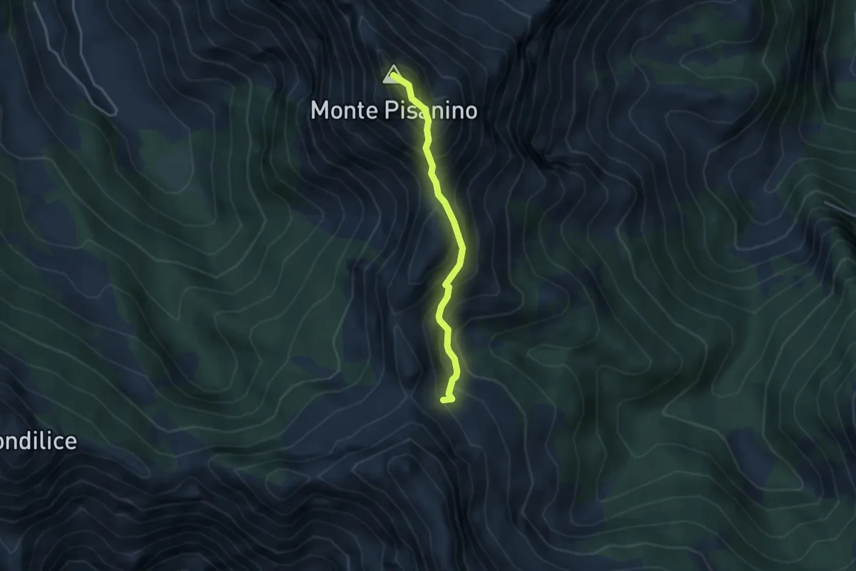
Expert · Summit
Via Normale Monte Pisanino
3.2 km · ↑ 467 m · 1 h 46 min · 12 km away
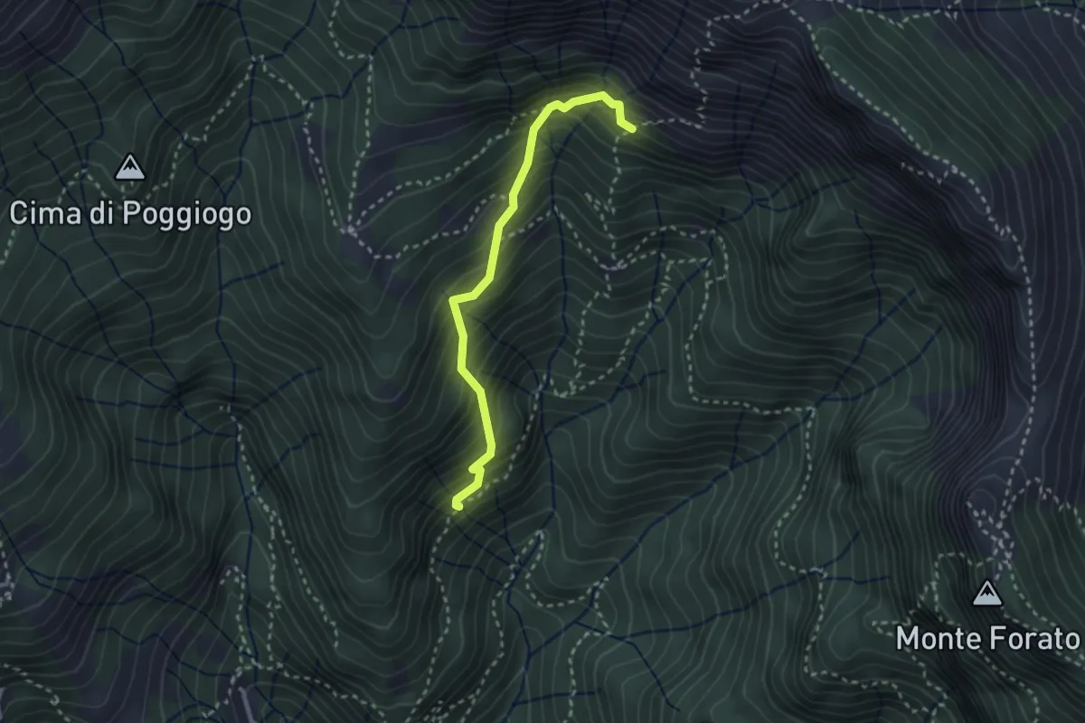
Medium · Trail
Sentiero di Pacì
2.8 km · ↑ 431 m · 1 h 35 min · 12 km away
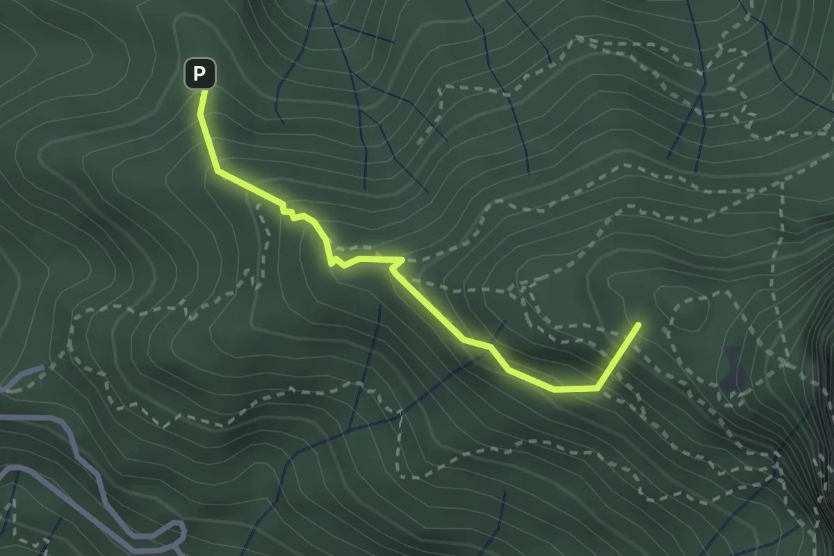
Medium · Summit
Stazzema – Alpe della Grotta
2.5 km · ↑ 285 m · 1 h 12 min · 12 km away
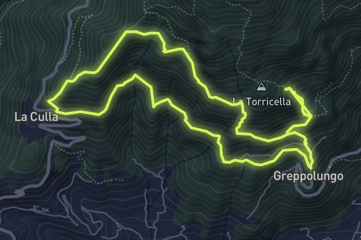
Demanding · Trail
ANELLO 3 - GREPPOLUNGO - LA CULLA - ROCCIA DEI PENNATI - GREPPOLUNGO
14.0 km · ↑ 1572 m · 6 h 43 min · 12 km away
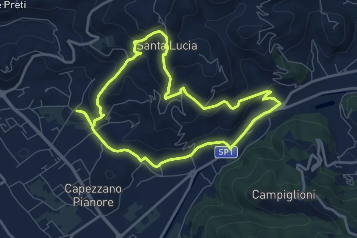
Easy · Trail
ANELLO 1 - CAPEZZANO - S. LUCIA - CAPEZZANO
6.3 km · ↑ 271 m · 2 h 10 min · 12 km away
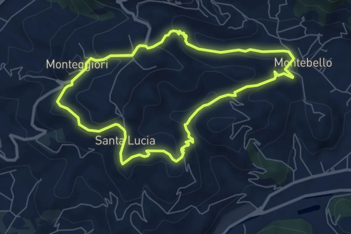
Medium · Trail
ANELLO 2 - MONTEBELLO - S. LUCIA - MONTEGGIORI - MONTEBELLO
5.8 km · ↑ 248 m · 1 h 59 min · 12 km away
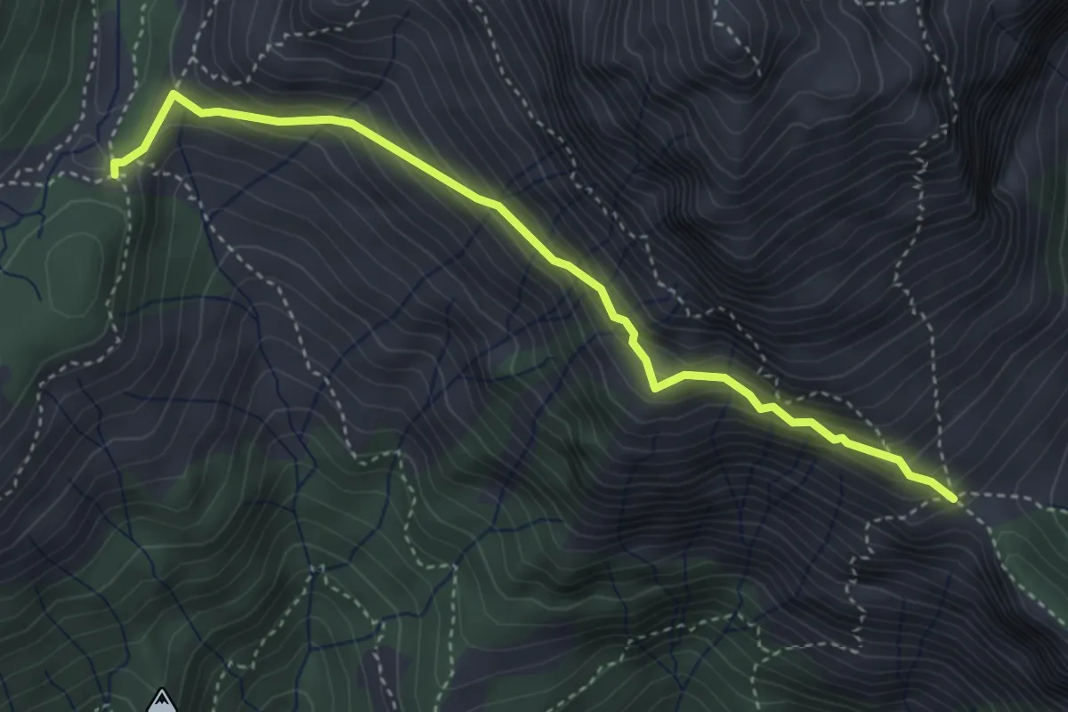
Expert · Trail
Foce di Mosceta – Foce di Valli
4.1 km · ↑ 386 m · 1 h 49 min · 12 km away
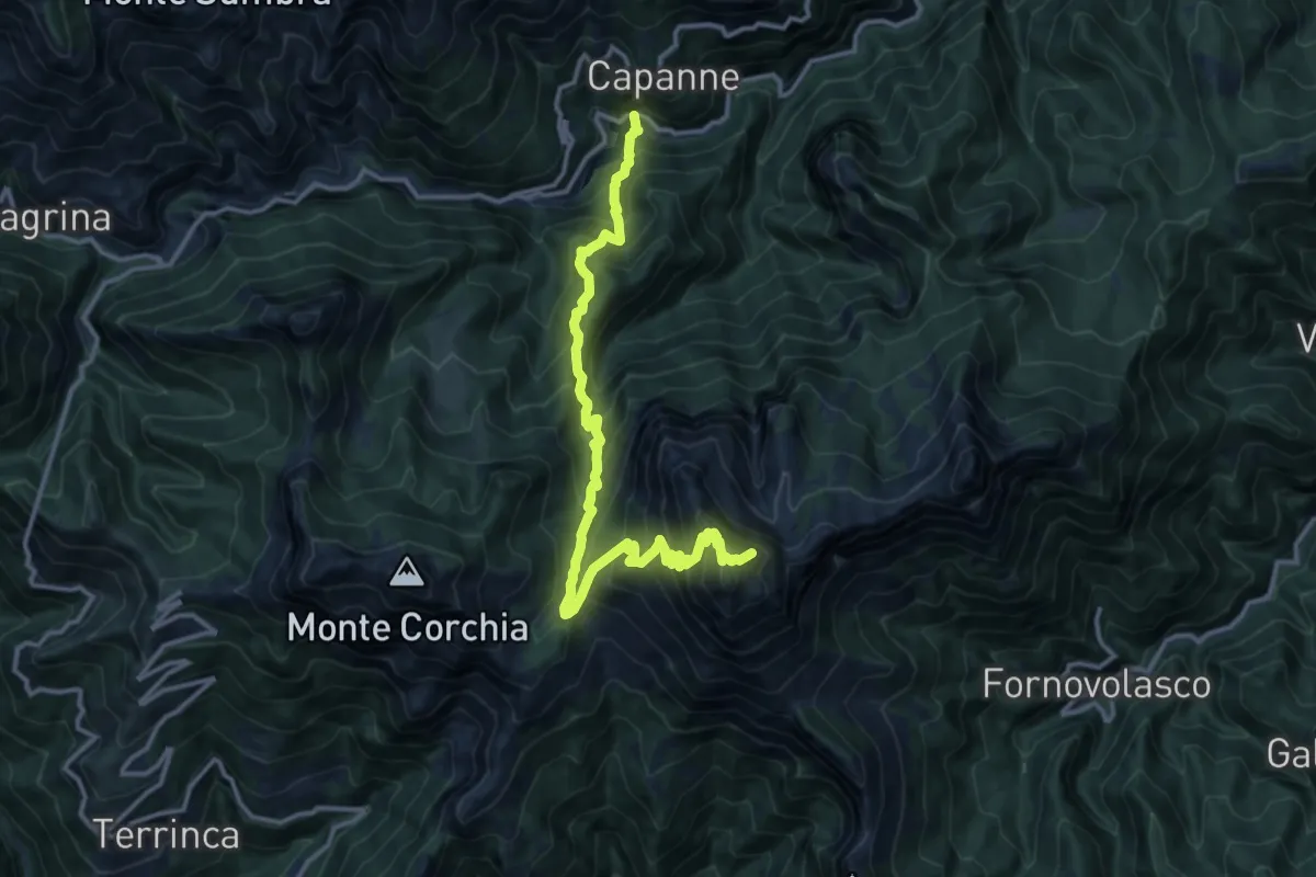
Demanding · Summit
Garfagnana Trekking - Tappa 2
14.9 km · ↑ 1592 m · 6 h 59 min · 12 km away
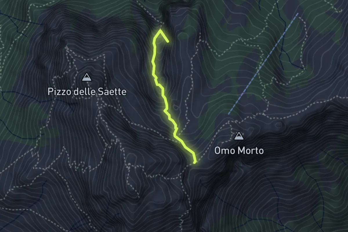
Demanding · Summit
Percorso 127 – Focetta del Puntone
2.5 km · ↑ 345 m · 1 h 20 min · 12 km away
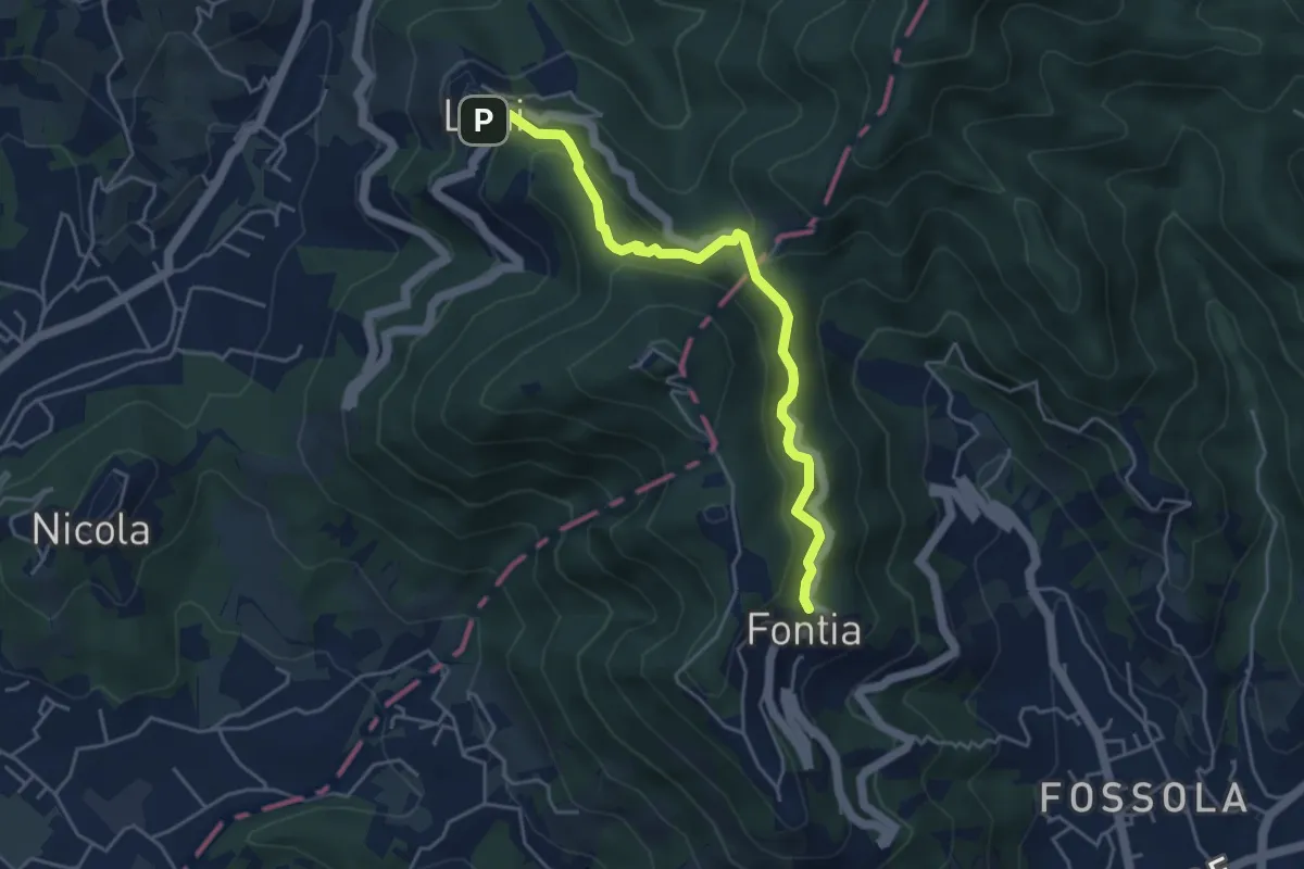
Easy · Trail
Ortonovo – Percorso 362
4.6 km · ↑ 238 m · 1 h 37 min · 12 km away
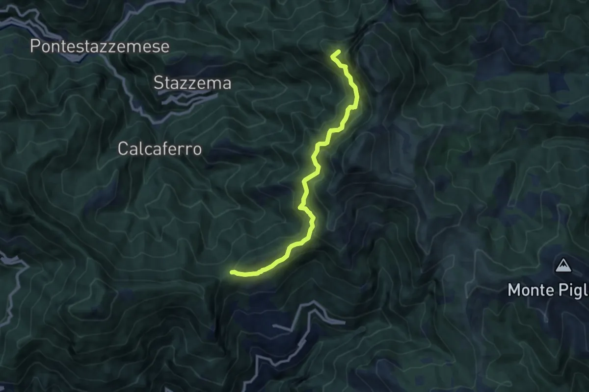
Demanding · Summit
Foce di San Rocchino – Fonte di Moscoso
8.8 km · ↑ 1035 m · 4 h 19 min · 12 km away
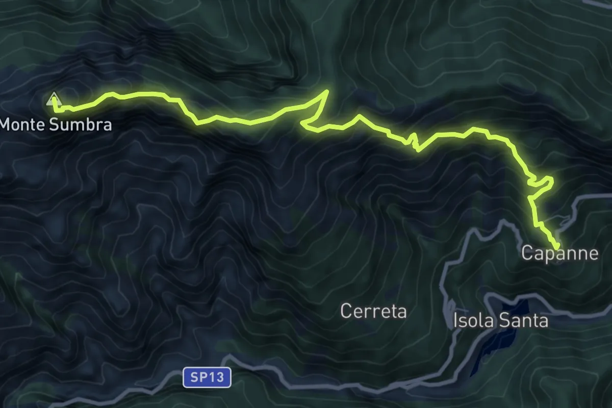
Demanding · Summit
Capanne di Careggine – Passo Fiocca
10.6 km · ↑ 1285 m · 5 h 17 min · 13 km away
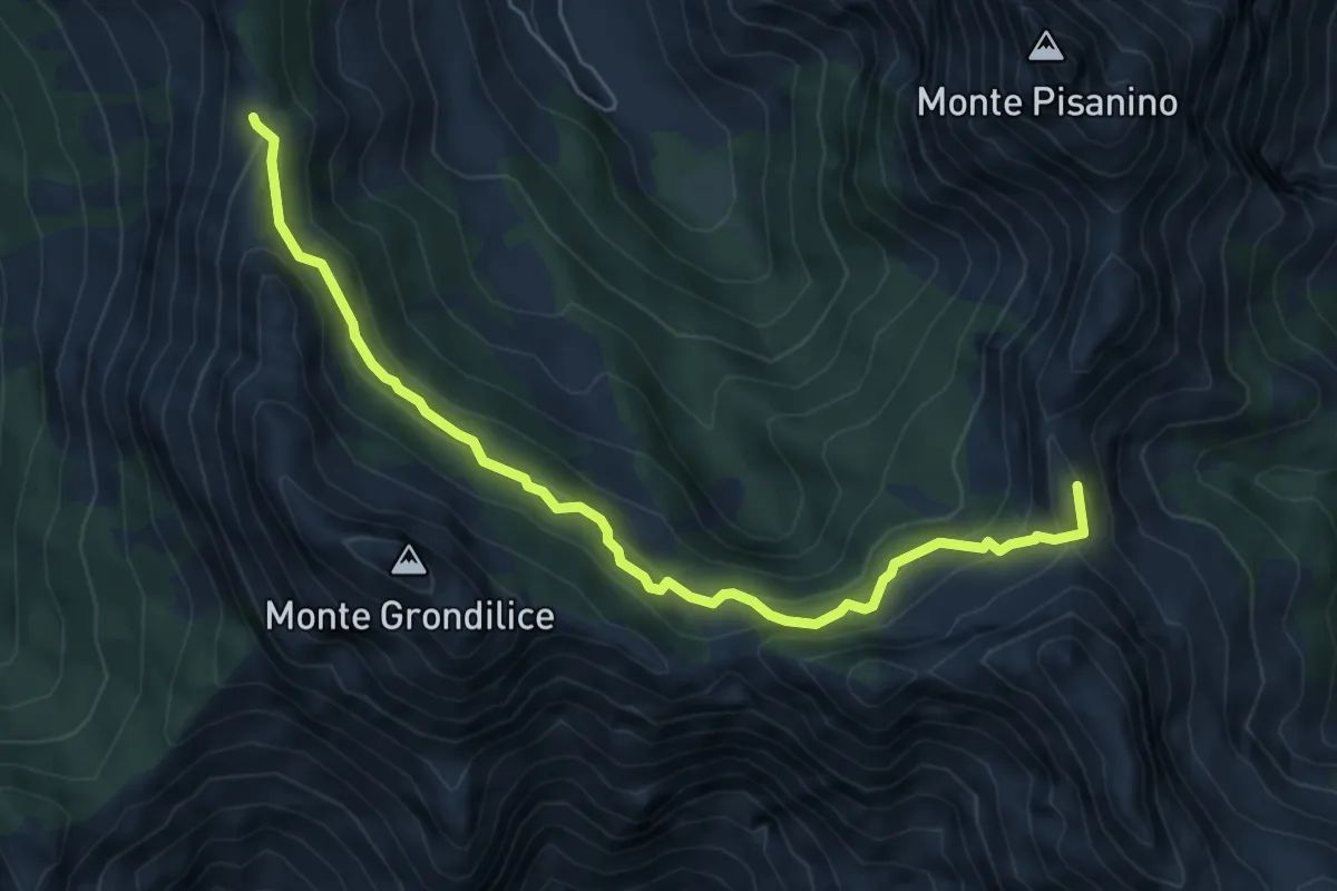
Medium · Summit
Foce di Giovo – Passo della Focolaccia
6.7 km · ↑ 494 m · 2 h 39 min · 13 km away
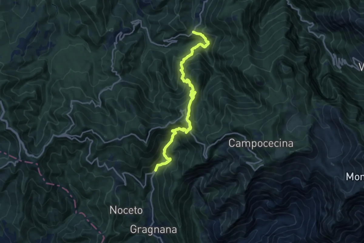
Demanding · Trail
Ponte Storto – Maestà della Villa
13.5 km · ↑ 1285 m · 5 h 58 min · 13 km away
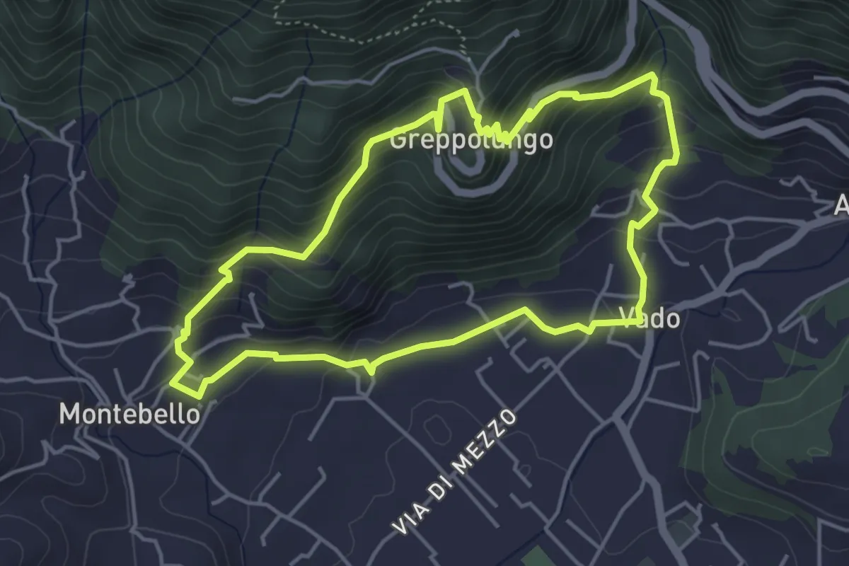
Easy · Trail
ANELLO 4 - VADO - GREPPOLUNGO - MONTEBELLO - VADO
4.4 km · ↑ 304 m · 1 h 46 min · 13 km away
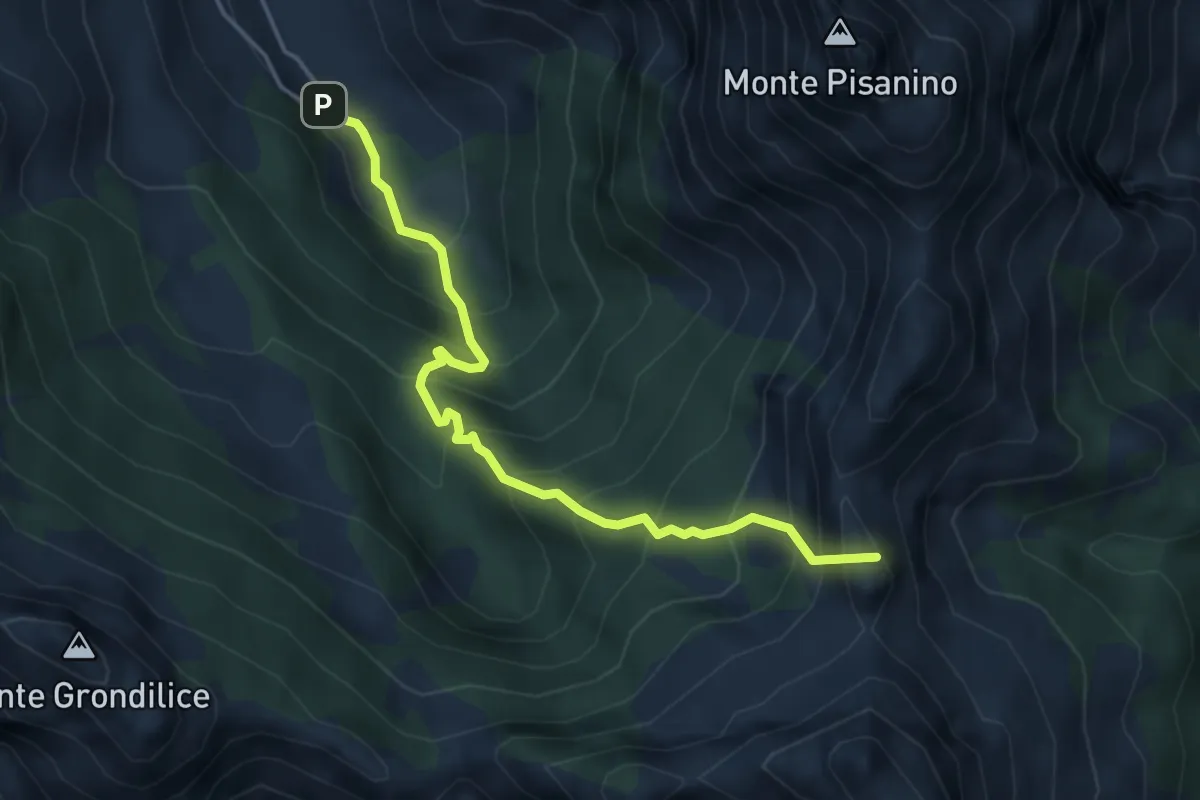
Demanding · Summit
Val Serenaia – Innesto Percorso 179 (Foce di Cardeto)
4.6 km · ↑ 565 m · 2 h 19 min · 13 km away
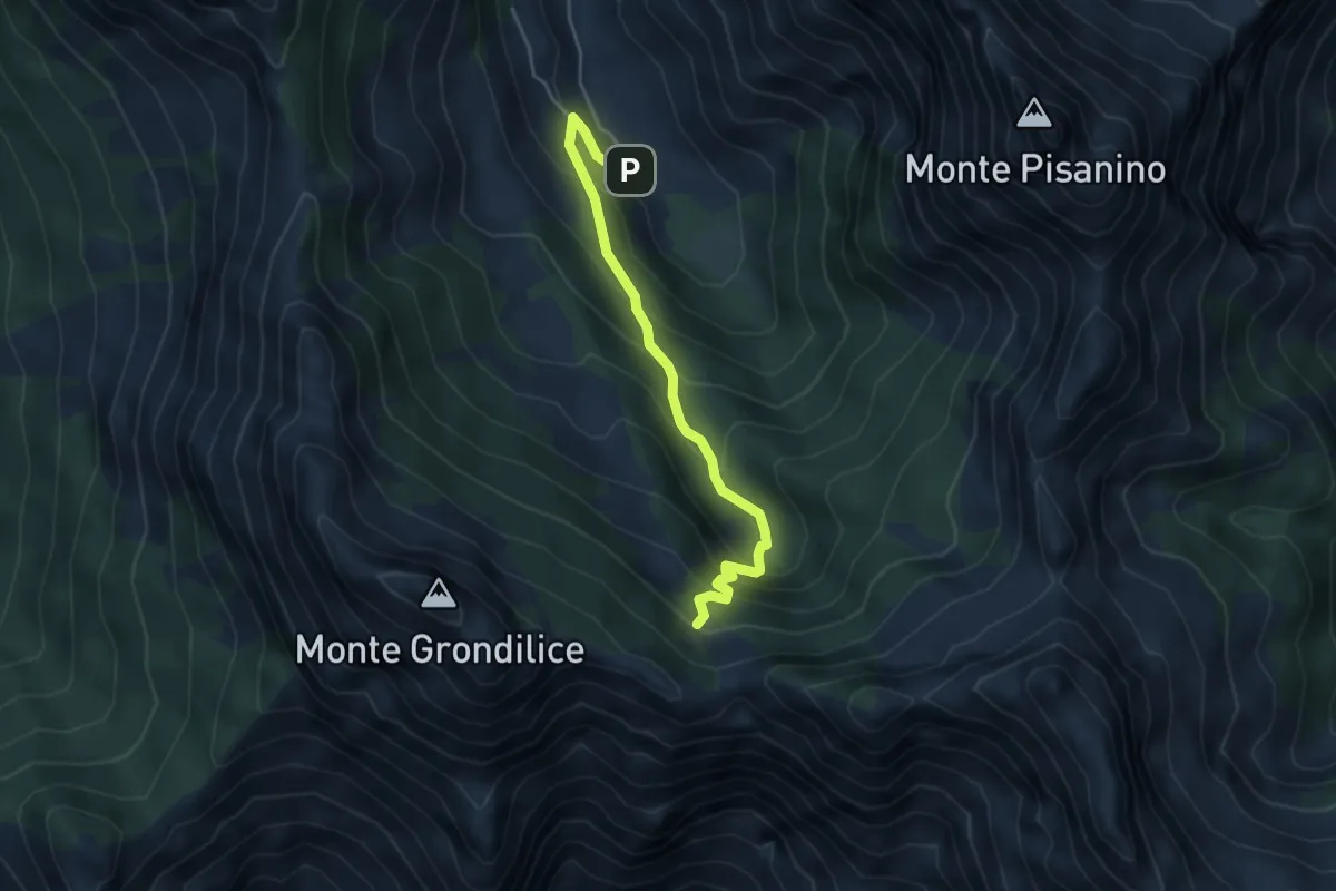
Medium · Cabin
Val Seranaia – Orto di Donna
4.4 km · ↑ 436 m · 1 h 59 min · 13 km away
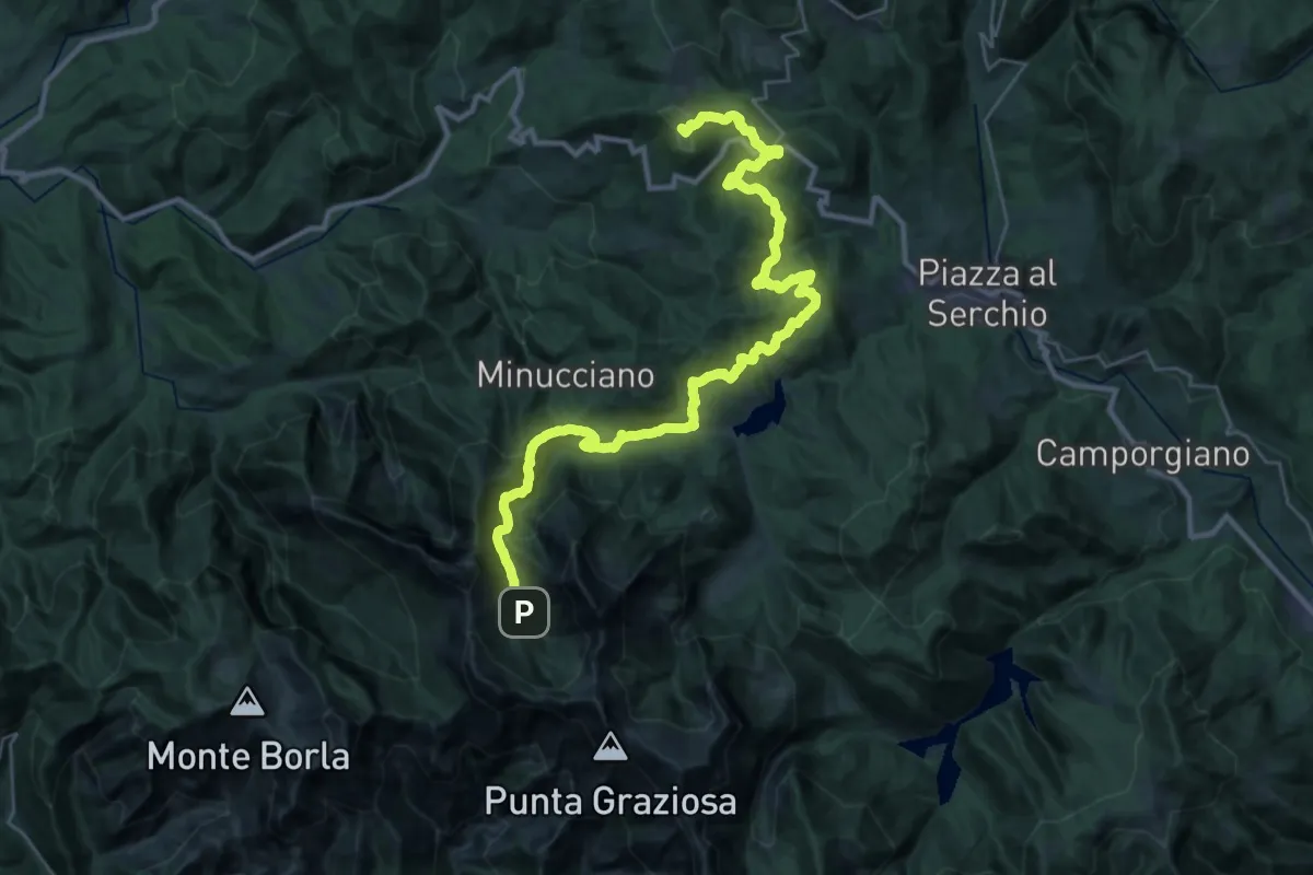
Demanding · Summit
Garfagnana Trekking - Tappa 5
39.5 km · ↑ 1668 m · 12 h 57 min · 13 km away
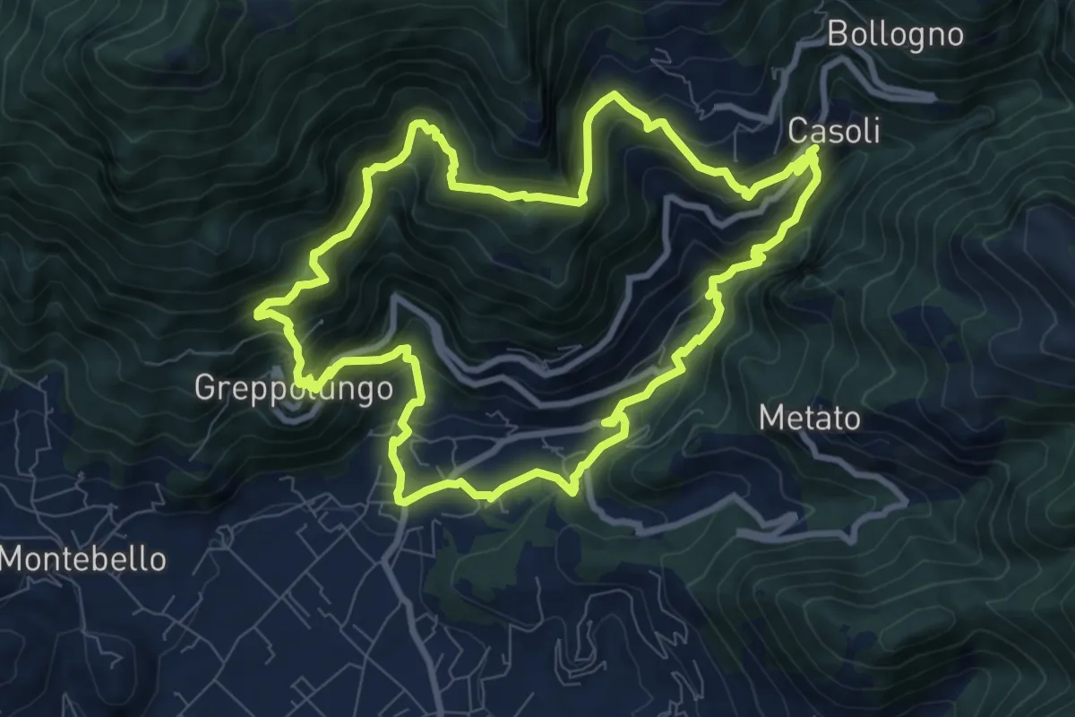
Medium · Trail
ANELLO 8 - CASOLI - BACINO DI SETRIANA - GREPPOLUNGO - CASOLI
9.4 km · ↑ 709 m · 3 h 53 min · 13 km away
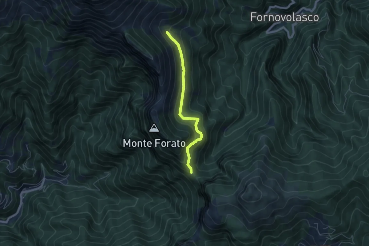
Medium · Trail
Foce di Petrosciana – Innesto sentiero CAI 130
4.8 km · ↑ 280 m · 1 h 45 min · 13 km away
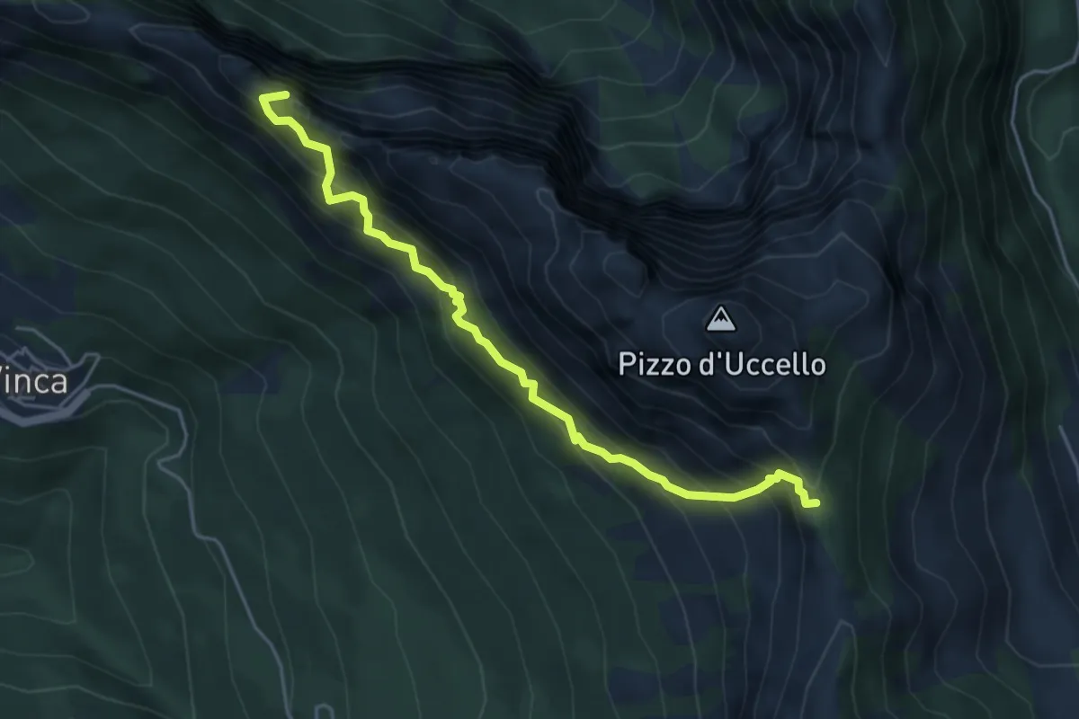
Expert · Summit
Sentiero attrezzato Mario Piotti
4.8 km · ↑ 705 m · 2 h 40 min · 13 km away
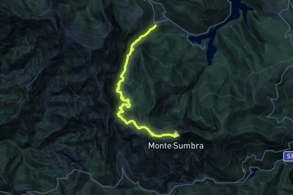
Demanding · Summit
Garfagnana Trekking - Tappa 3b
18.2 km · ↑ 1520 m · 7 h 35 min · 13 km away
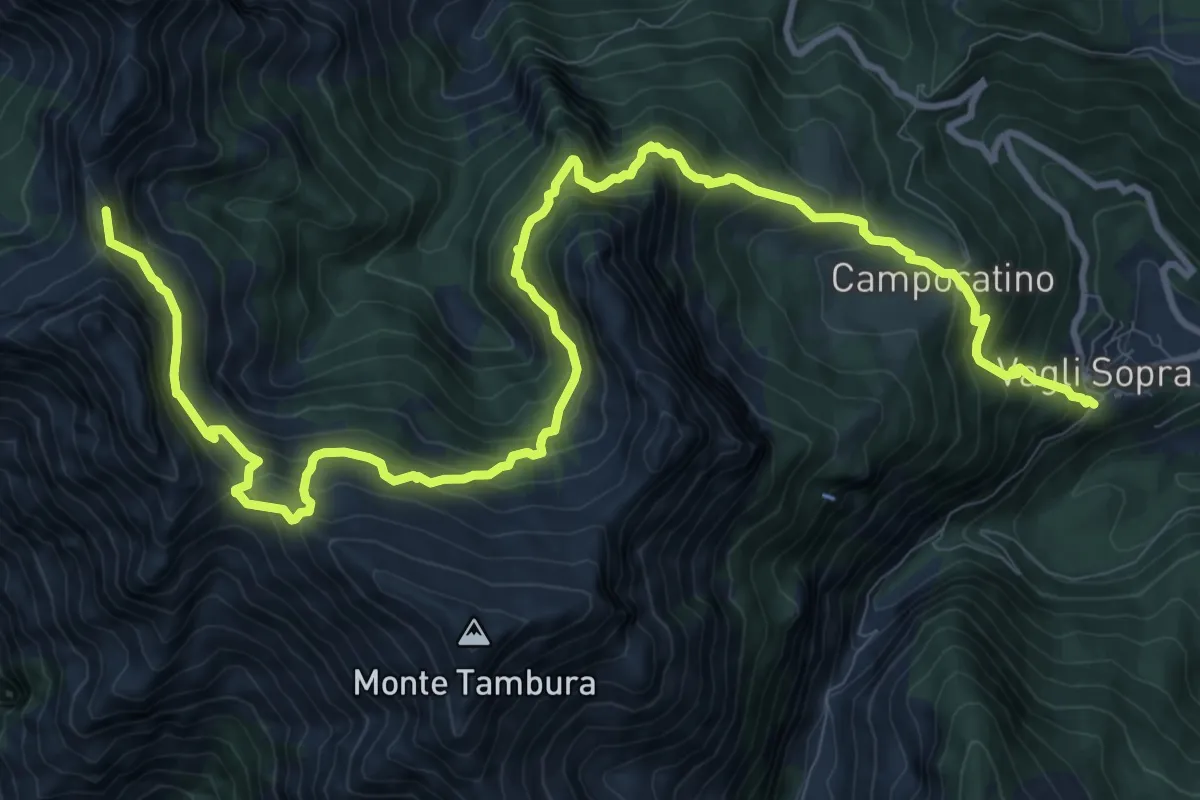
Demanding · Summit
Garfagnana Trekking - Tappa 4
15.4 km · ↑ 1320 m · 6 h 29 min · 13 km away
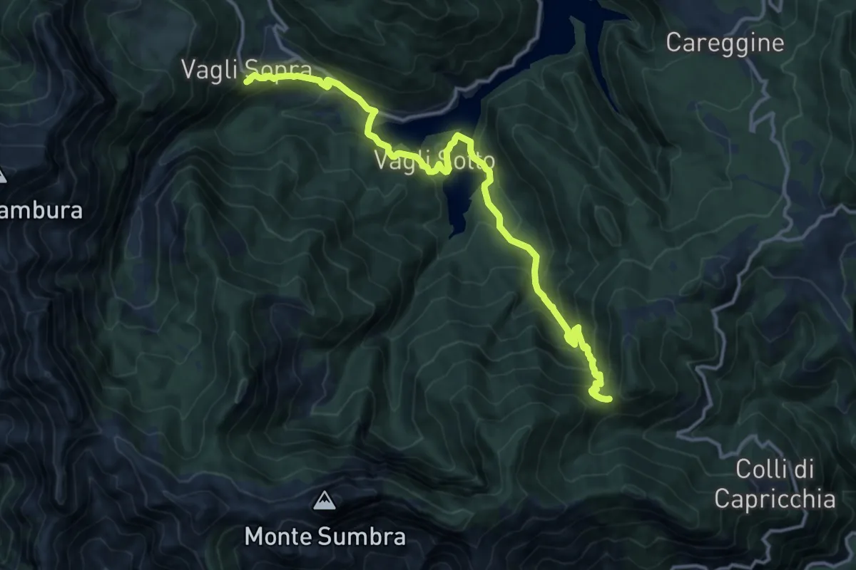
Demanding · Summit
Garfagnana Trekking - Tappa 3
14.8 km · ↑ 1090 m · 5 h 52 min · 13 km away
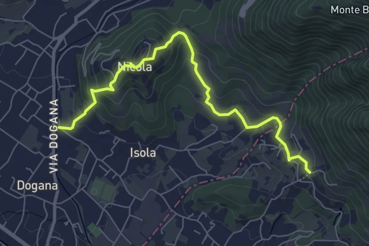
Easy · Trail
Isola – Fossola
6.3 km · ↑ 287 m · 2 h 6 min · 13 km away
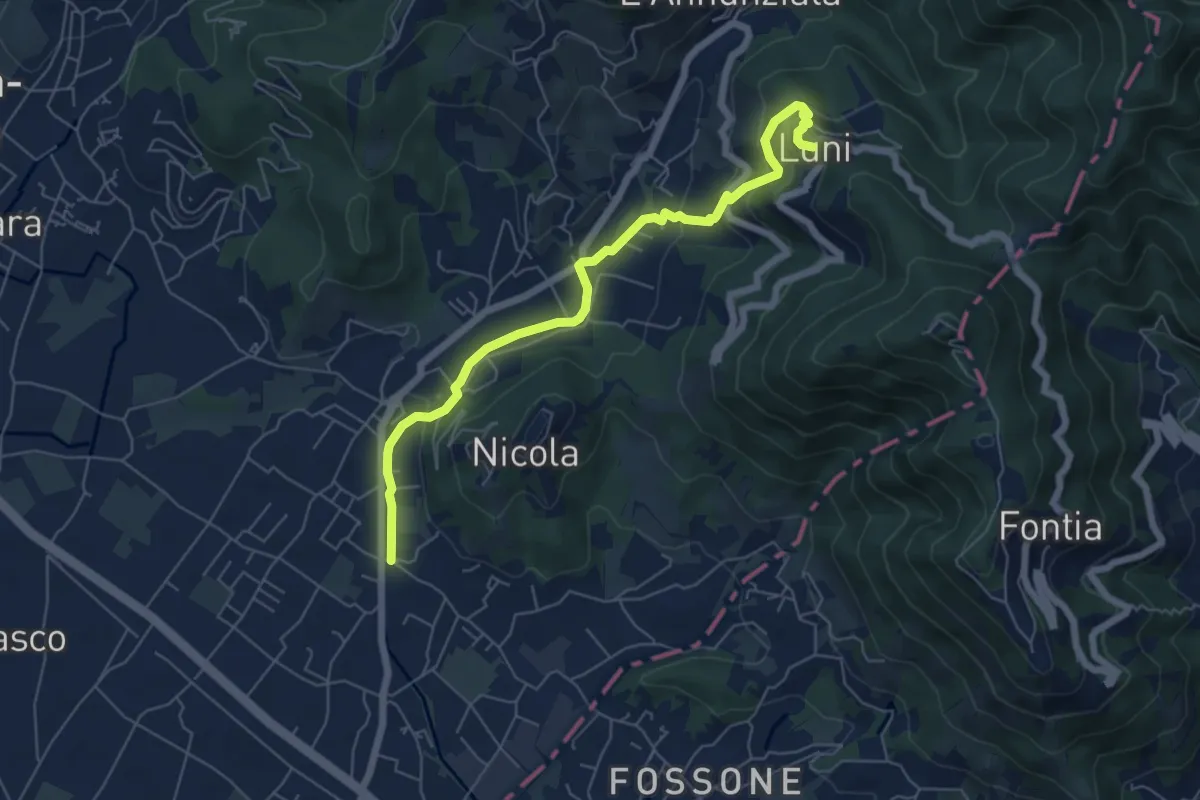
Easy · Trail
Isola - Lungo Parmignola - Ortonovo
6.6 km · ↑ 264 m · 2 h 8 min · 13 km away
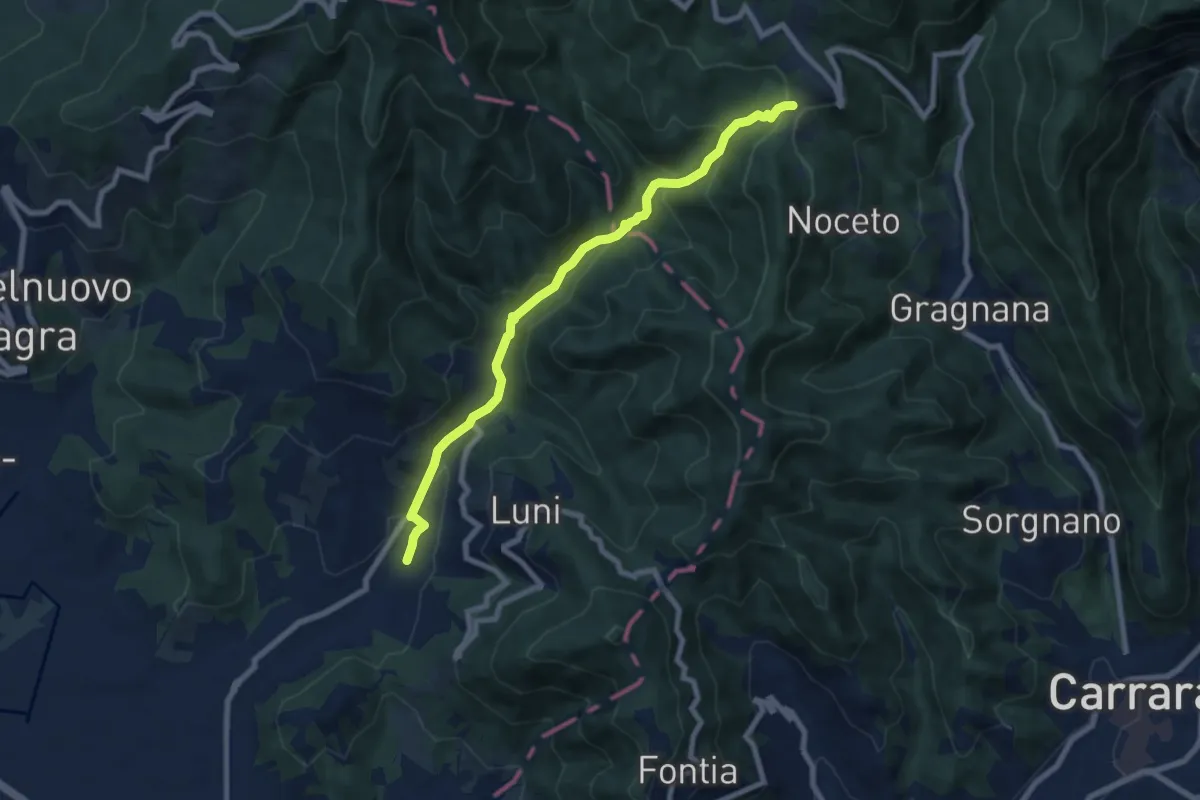
Medium · Trail
Casano – Castelpoggio
7.9 km · ↑ 432 m · 2 h 49 min · 13 km away
Easy · Summit
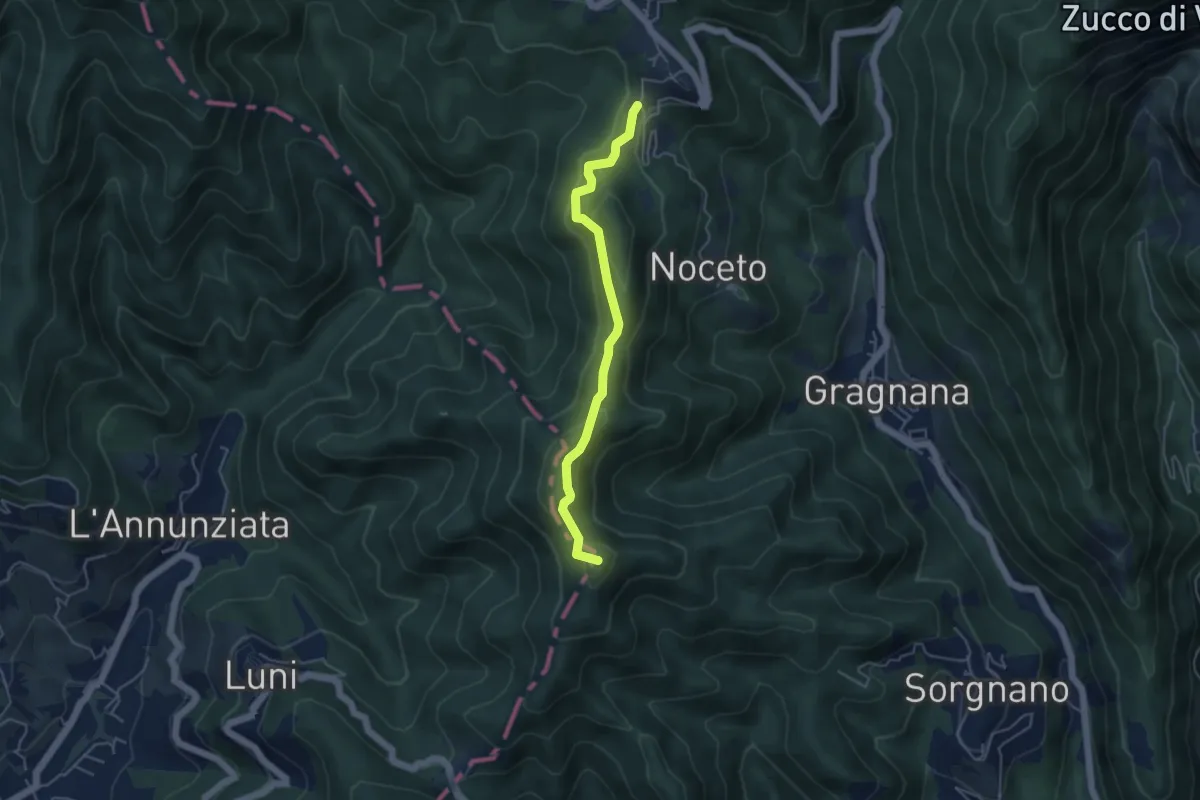
Ortonovo – Castelpoggio
4.5 km · ↑ 206 m · 1 h 30 min · 13 km away
Easy · Summit
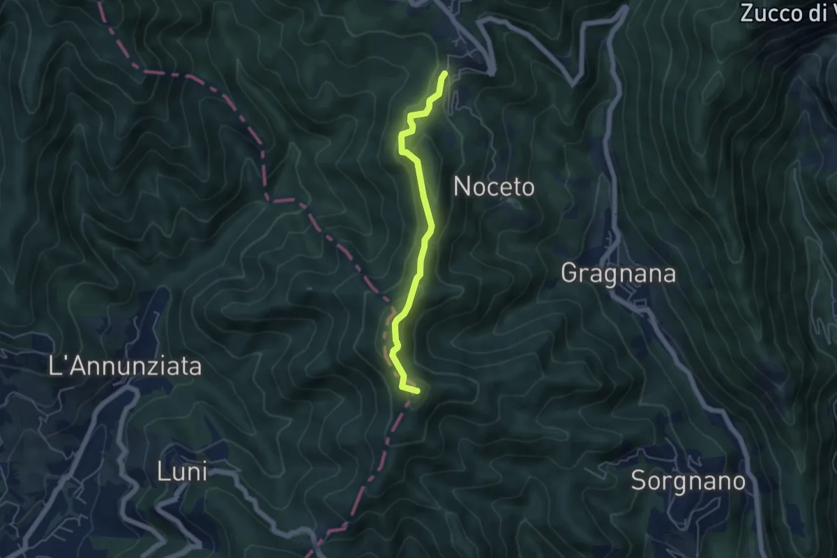
Cammino di Aronte - Tappa 2
4.5 km · ↑ 206 m · 1 h 30 min · 13 km away
Easy · Trail
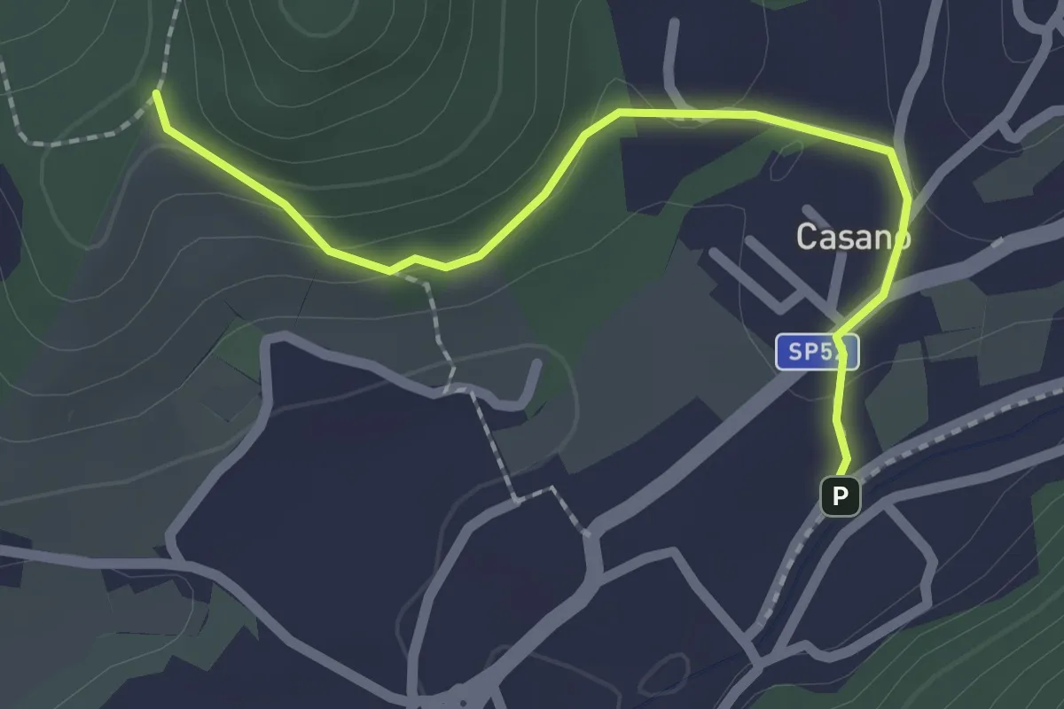
Serravalle – Monte dei Frati
2.2 km · ↑ 63 m · 40 min · 13 km away
Medium · Summit
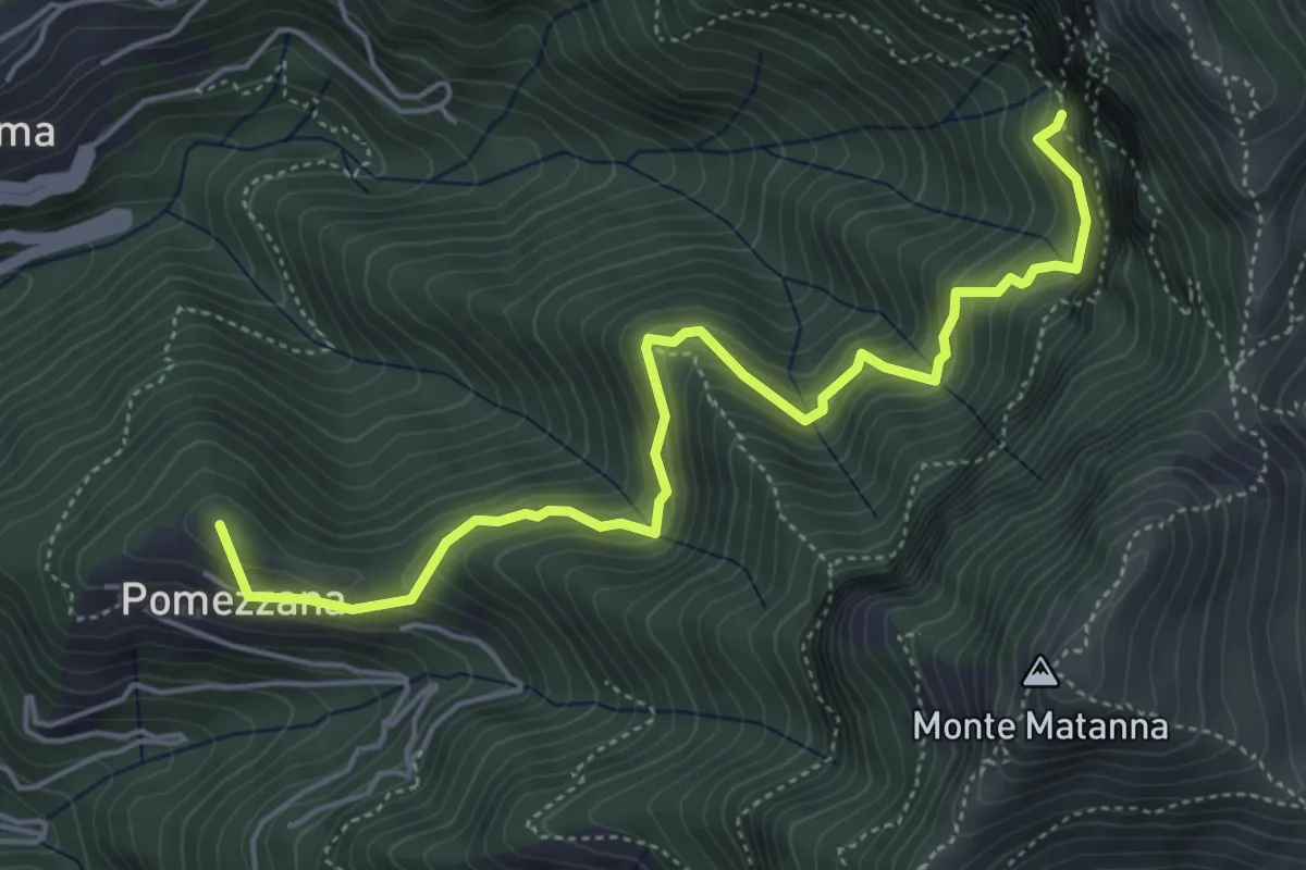
Tre Scolli – Rifugio Forte dei Marmi
5.7 km · ↑ 693 m · 2 h 51 min · 13 km away