Trails near Montignoso
185 hikes starting within 15 km, nearest first.
Nearest first, page 4 of 4
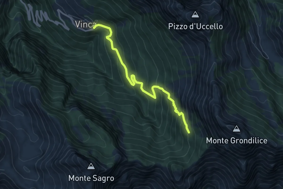
Demanding · Cabin
Vinca – Capanna Garnerone
7.6 km · ↑ 582 m · 3 h 3 min · 13 km away
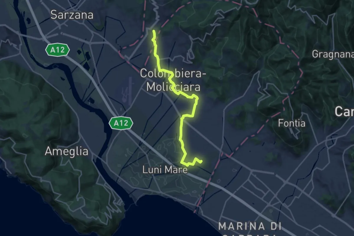
Medium · Trail
Sentiero dei Ducati Variante Luni
16.3 km · ↑ 61 m · 3 h 59 min · 13 km away
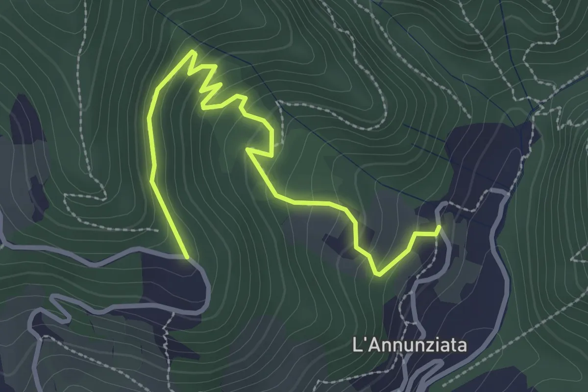
Easy · Trail
Percorso 373 – Percorso 304
3.2 km · ↑ 217 m · 1 h 14 min · 13 km away
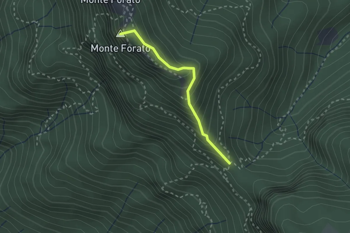
Demanding · Summit
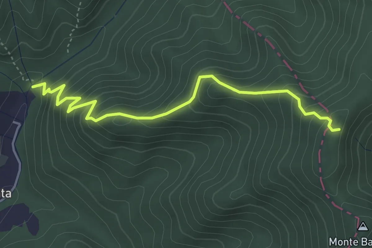
Foce di Petrosciana – Foce di Valli
1.9 km · ↑ 225 m · 56 min · 13 km away
Medium · Trail
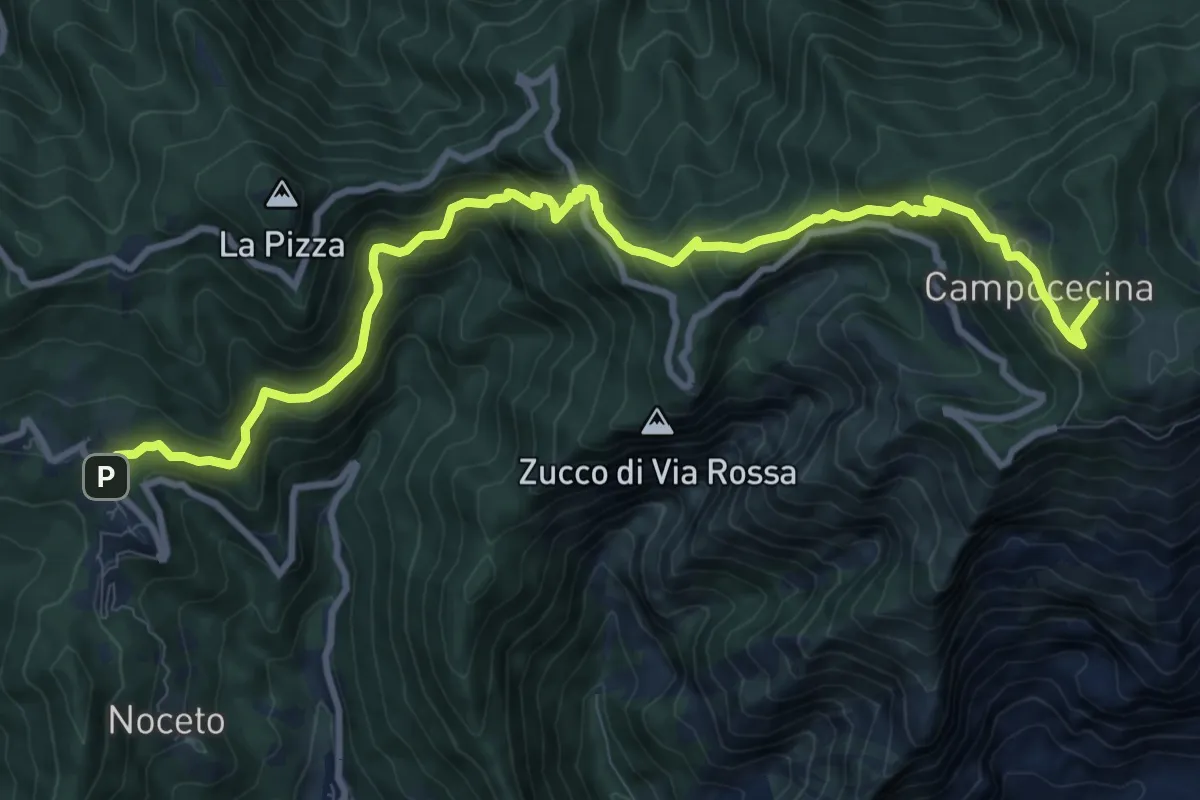
Molino del Lucco – Volpiglione
4.1 km · ↑ 419 m · 1 h 53 min · 13 km away
Demanding · Summit
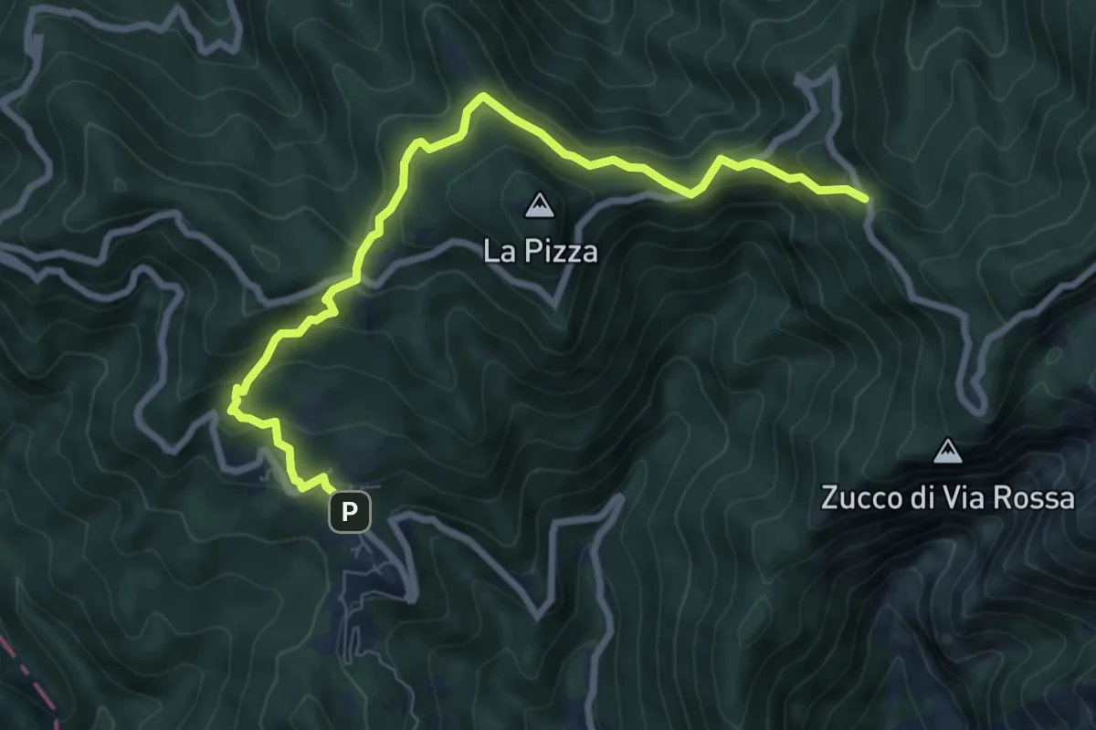
Castelpoggio – Rifugio Carrara
12.1 km · ↑ 946 m · 4 h 55 min · 13 km away
Medium · Trail
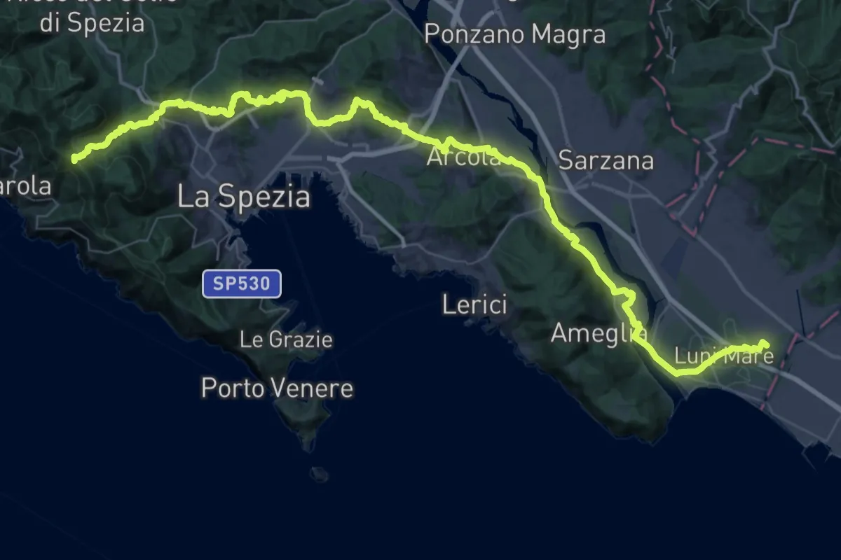
Castelpoggio – Gabellaccia
8.4 km · ↑ 454 m · 2 h 58 min · 13 km away
Expert · Summit
Via della Costa - Tappa 12
65.8 km · ↑ 1657 m · 19 h 7 min · 13 km away
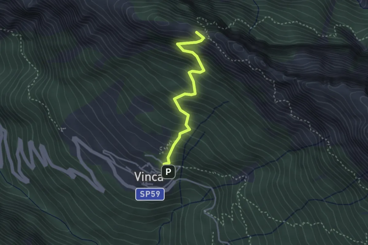
Demanding · Summit
Vinca – Cave del Cantonaccio
3.1 km · ↑ 451 m · 1 h 43 min · 13 km away
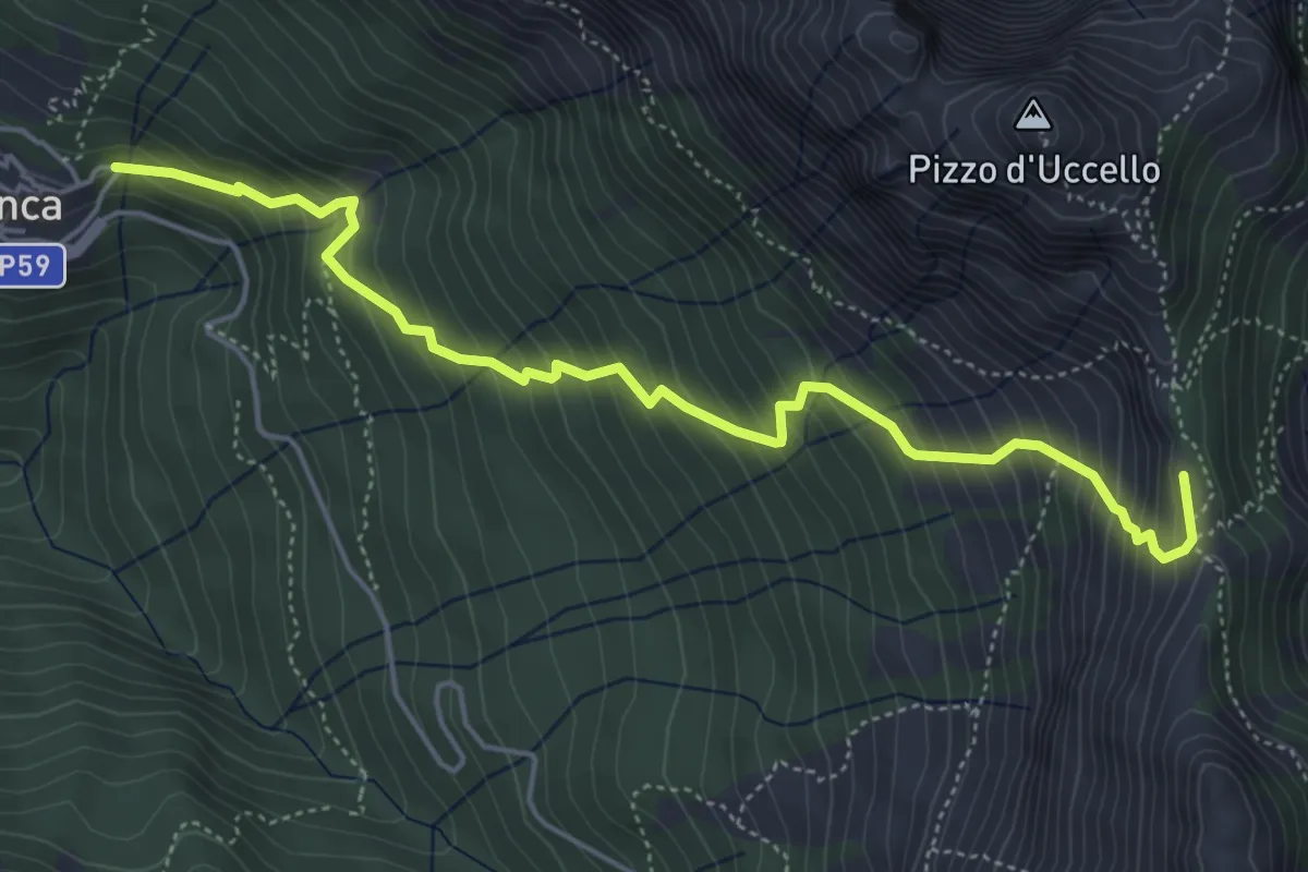
Medium · Summit
Vinca – Foce di Giovo
5.7 km · ↑ 712 m · 2 h 54 min · 13 km away
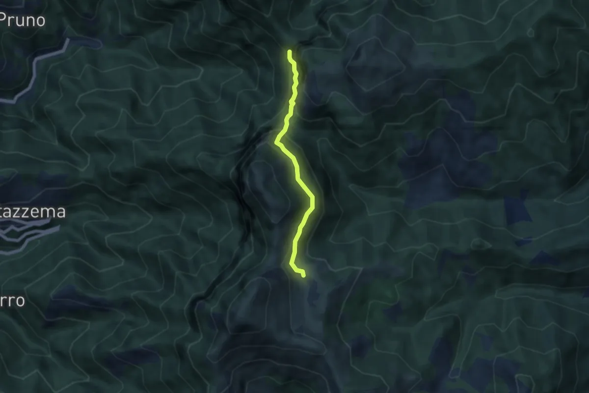
Demanding · Cabin
Rifugio Alto Matanna – Sentiero 6
5.0 km · ↑ 338 m · 1 h 55 min · 13 km away
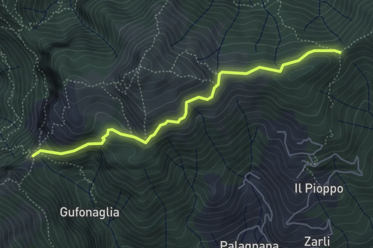
Demanding · Trail
Foce delle Porchette – Il Termine di Palagnana
5.1 km · ↑ 299 m · 1 h 51 min · 13 km away
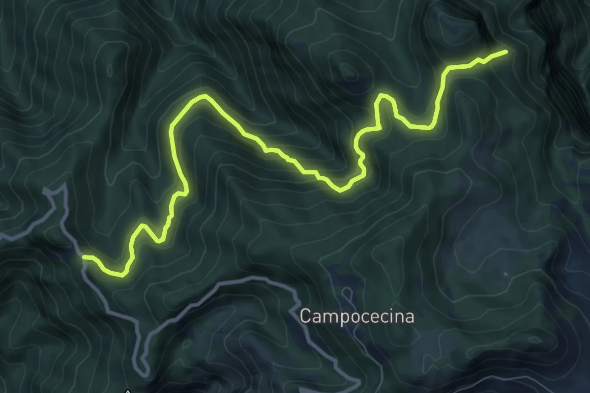
Demanding · Trail
Gabellaccia – Case Respettolo
11.0 km · ↑ 839 m · 4 h 24 min · 13 km away
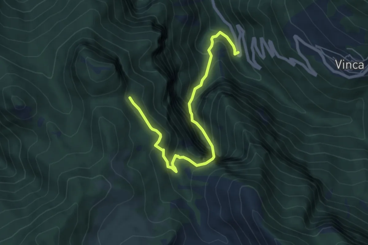
Demanding · Trail
Vinca – Innesto percorso 183
6.1 km · ↑ 880 m · 3 h 21 min · 14 km away
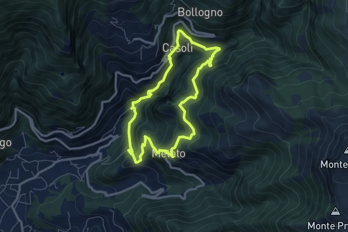
Medium · Summit
ANELLO 7 - CANDALLA - CASOLI - METATO - CANDALLA
5.7 km · ↑ 487 m · 2 h 28 min · 14 km away
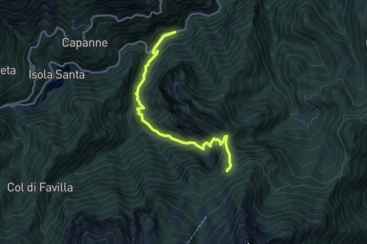
Medium · Trail
Pizzorno – Piglionico
7.9 km · ↑ 751 m · 3 h 29 min · 14 km away
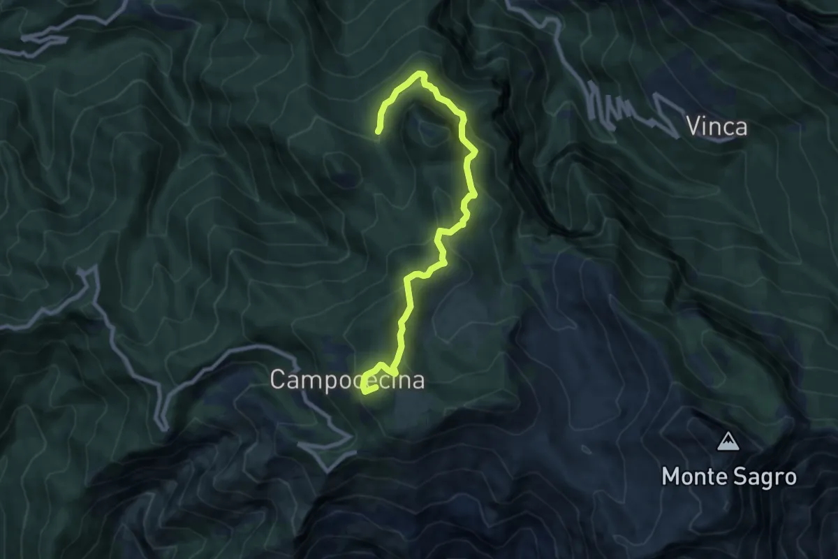
Medium · Summit
Rifugio Carrara – Bivio Monzonara - Innesto Sentiero 40
8.5 km · ↑ 565 m · 3 h 15 min · 14 km away
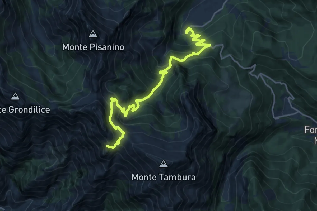
Demanding · Summit
Biforco – Gorfigliano
15.3 km · ↑ 1288 m · 6 h 24 min · 14 km away
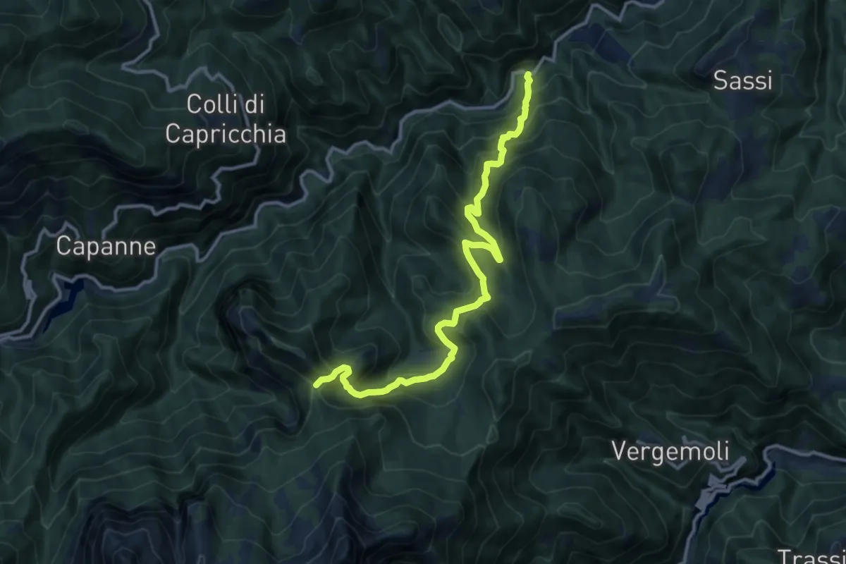
Demanding · Trail
Mulino al Riccio – Colle Panestra
12.3 km · ↑ 979 m · 5 h 1 min · 14 km away
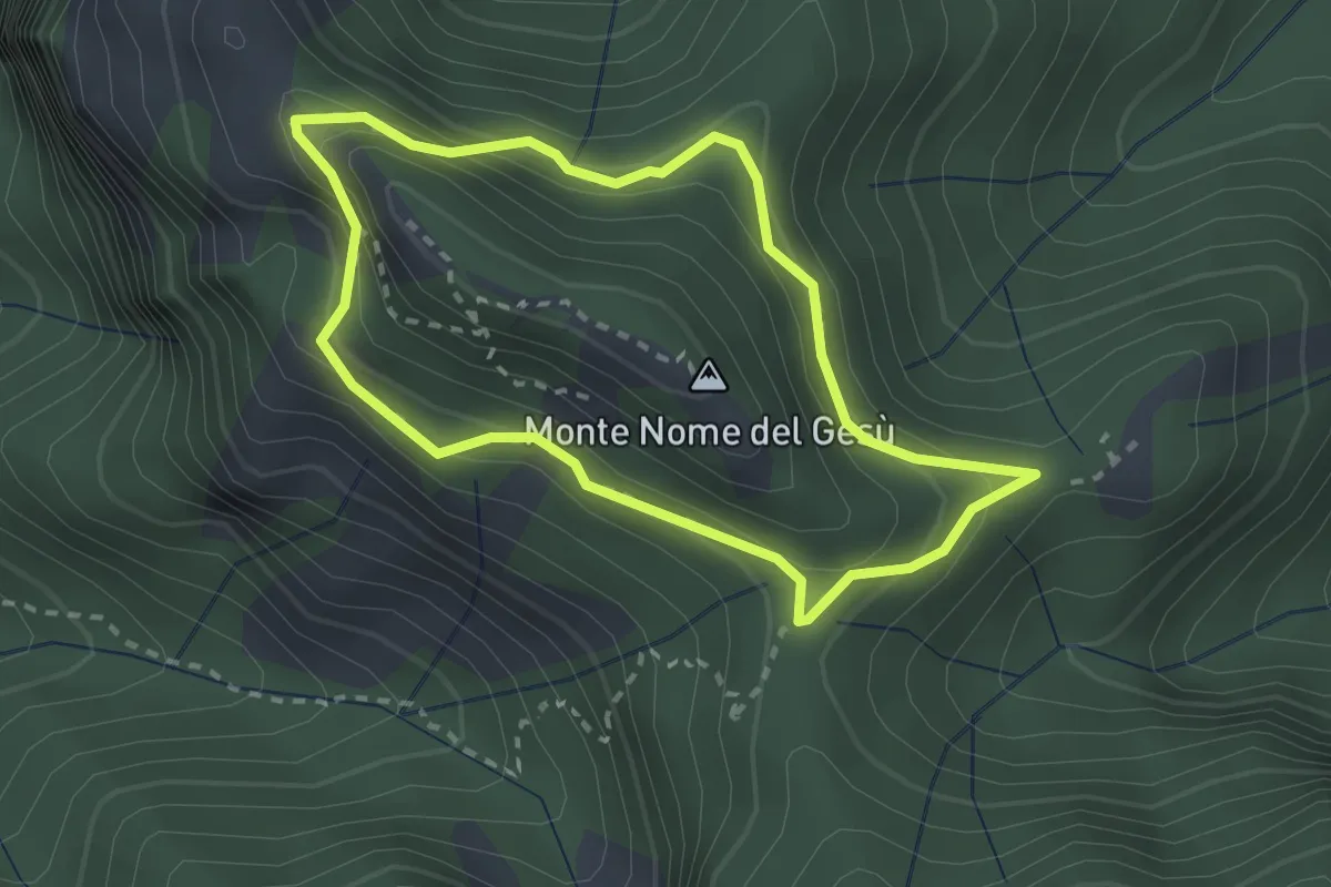
Medium · Summit
Fosco Maraini 4 - Tignoso Rovaio
2.5 km · ↑ 192 m · 1 h 2 min · 14 km away
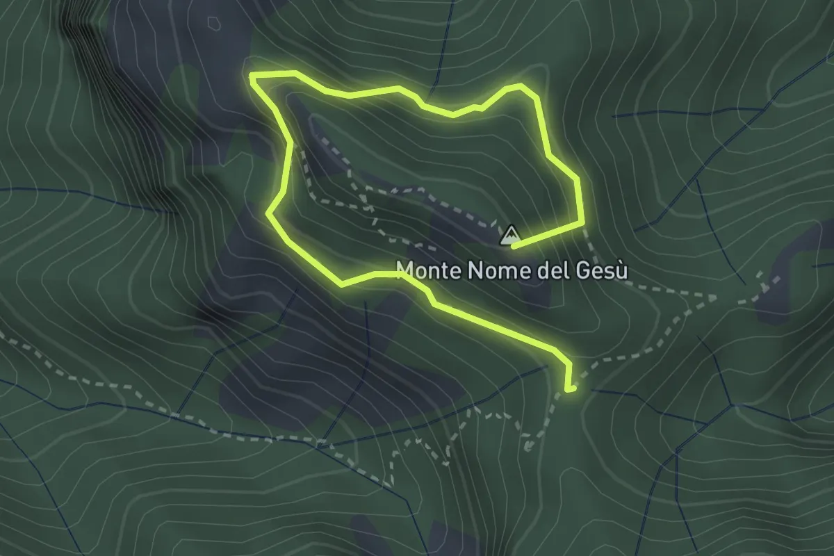
Medium · Summit
Sentiero della Libertà
3.9 km · ↑ 368 m · 1 h 43 min · 14 km away
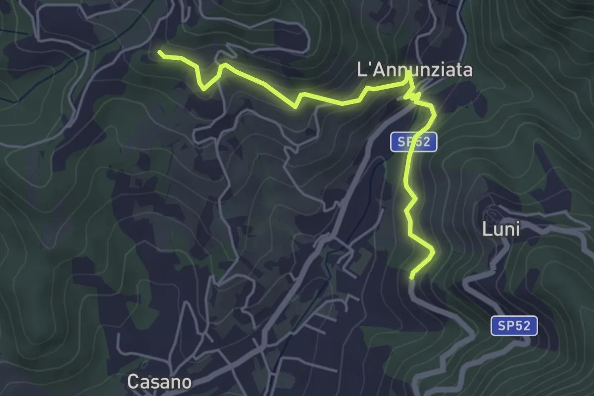
Easy · Trail
Santa Maria – Noceto
4.7 km · ↑ 307 m · 1 h 46 min · 14 km away
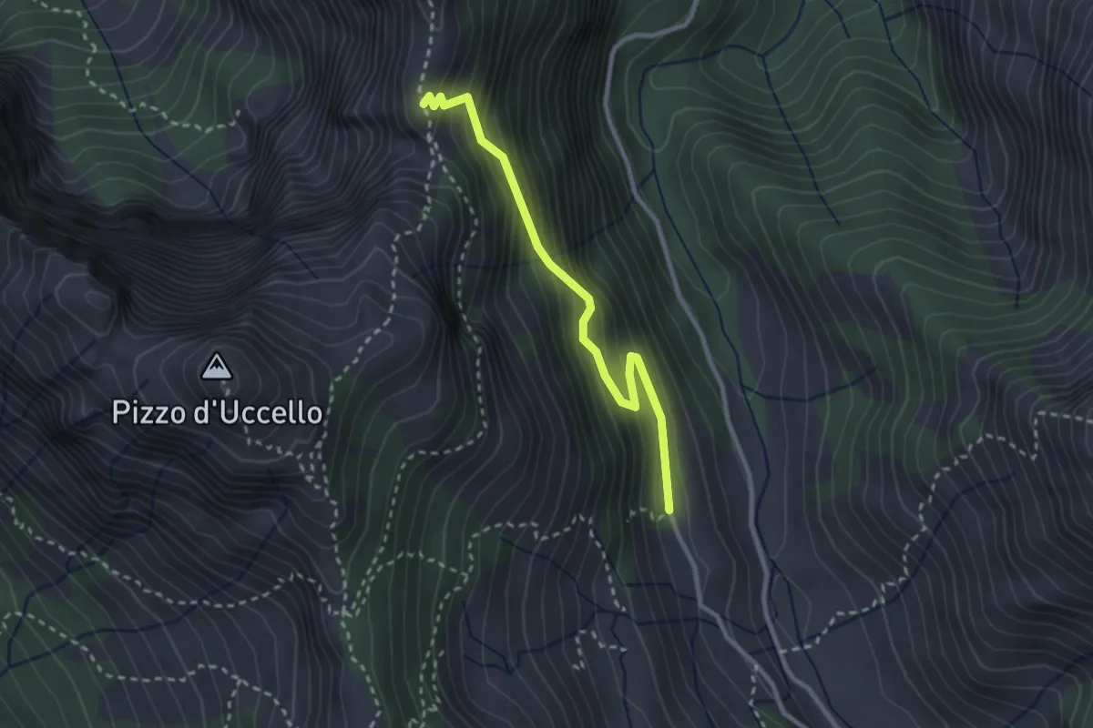
Medium · Cabin
Val Serenaia (Rifugio Donegani) – Foce Siggioli
2.7 km · ↑ 279 m · 1 h 15 min · 14 km away
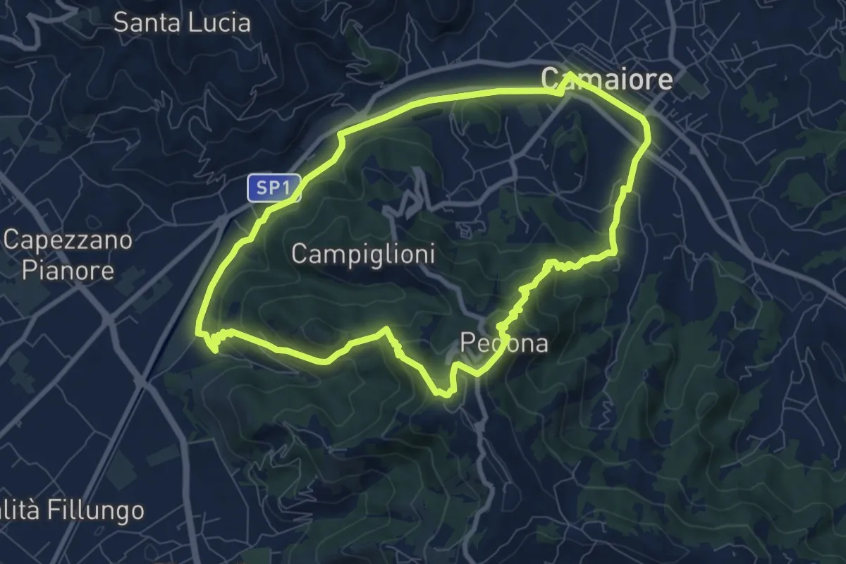
Medium · Trail
ANELLO 10 - CAMAIORE - PEDONA - CAMAIORE
8.7 km · ↑ 327 m · 2 h 53 min · 14 km away
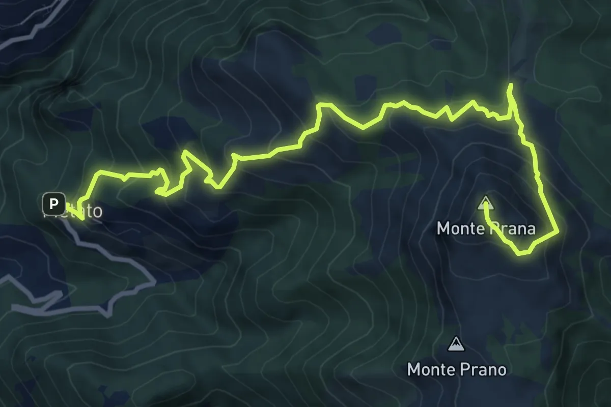
Demanding · Summit
Metato – Monte Prana
10.4 km · ↑ 1001 m · 4 h 38 min · 14 km away
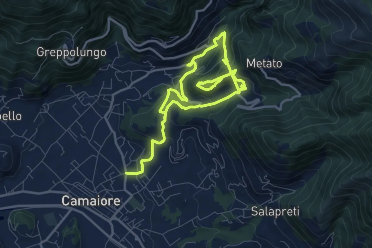
Demanding · Trail
ANELLO 5 - BADIA - MONTECASTRESE - BADIA
14.9 km · ↑ 825 m · 5 h 18 min · 14 km away
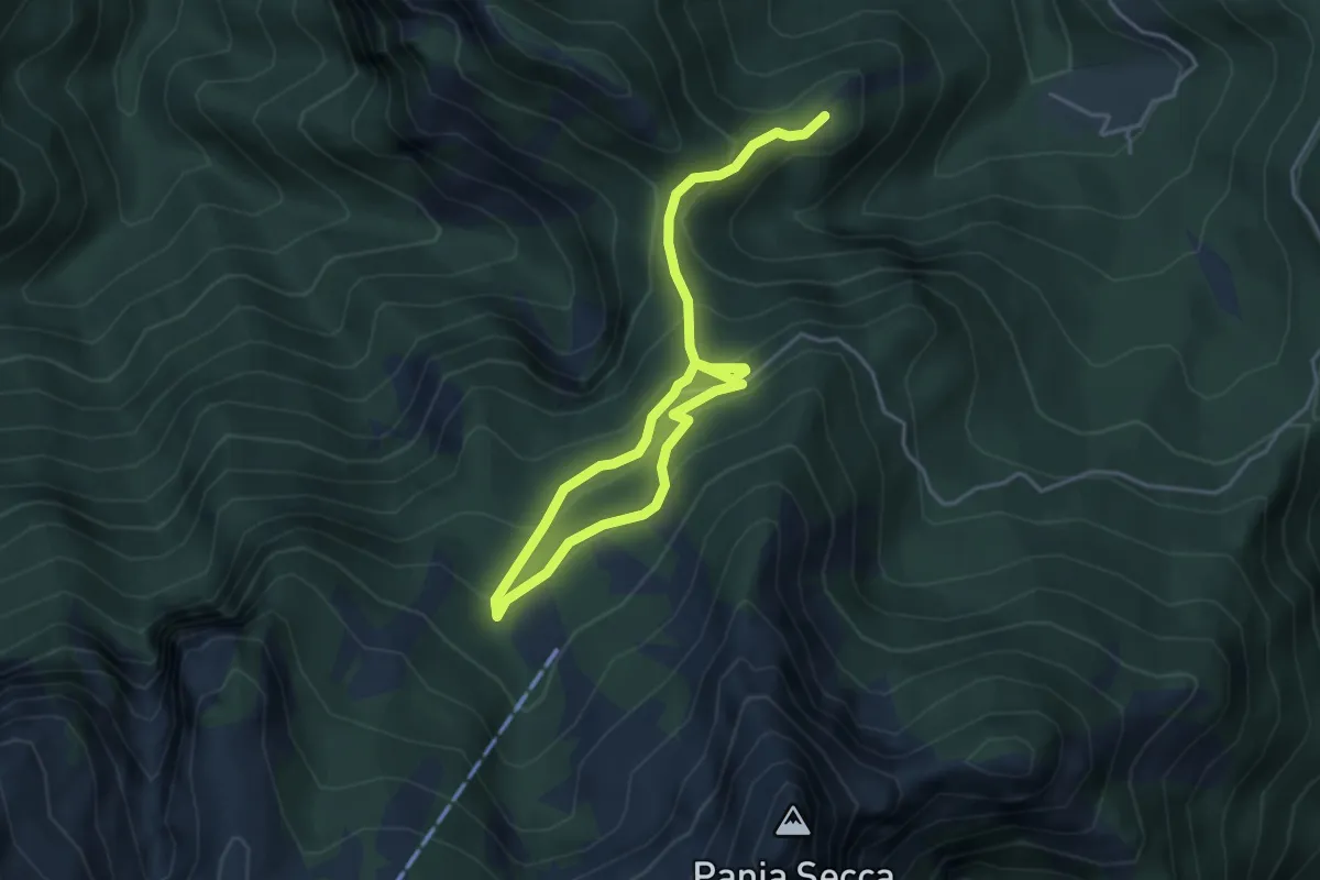
Medium · Trail
Fosco Maraini 6 - Lo sguardo del miramondo
6.1 km · ↑ 514 m · 2 h 33 min · 14 km away
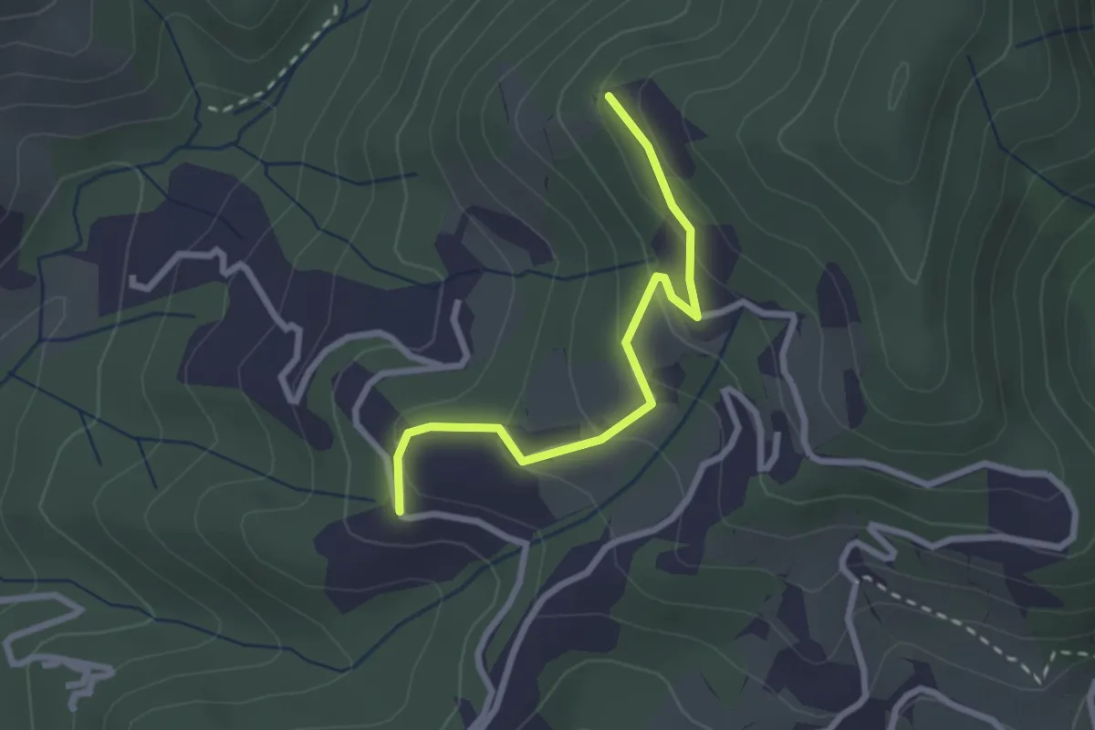
Easy · Trail
Santa Rosa (Percorso 308) – Orbagnano di Sopra
2.5 km · ↑ 130 m · 52 min · 14 km away
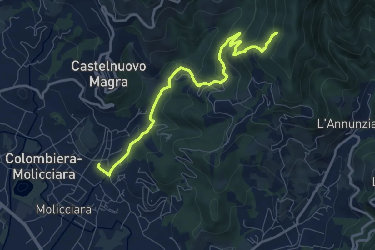
Medium · Trail
Molino del Piano – Vallecchia
7.9 km · ↑ 388 m · 2 h 43 min · 14 km away
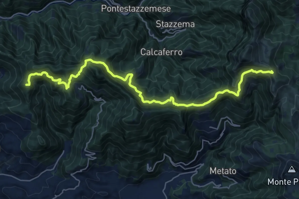
Demanding · Summit
Capezzano Monte – Foce del Pallone
22.6 km · ↑ 1680 m · 8 h 59 min · 14 km away
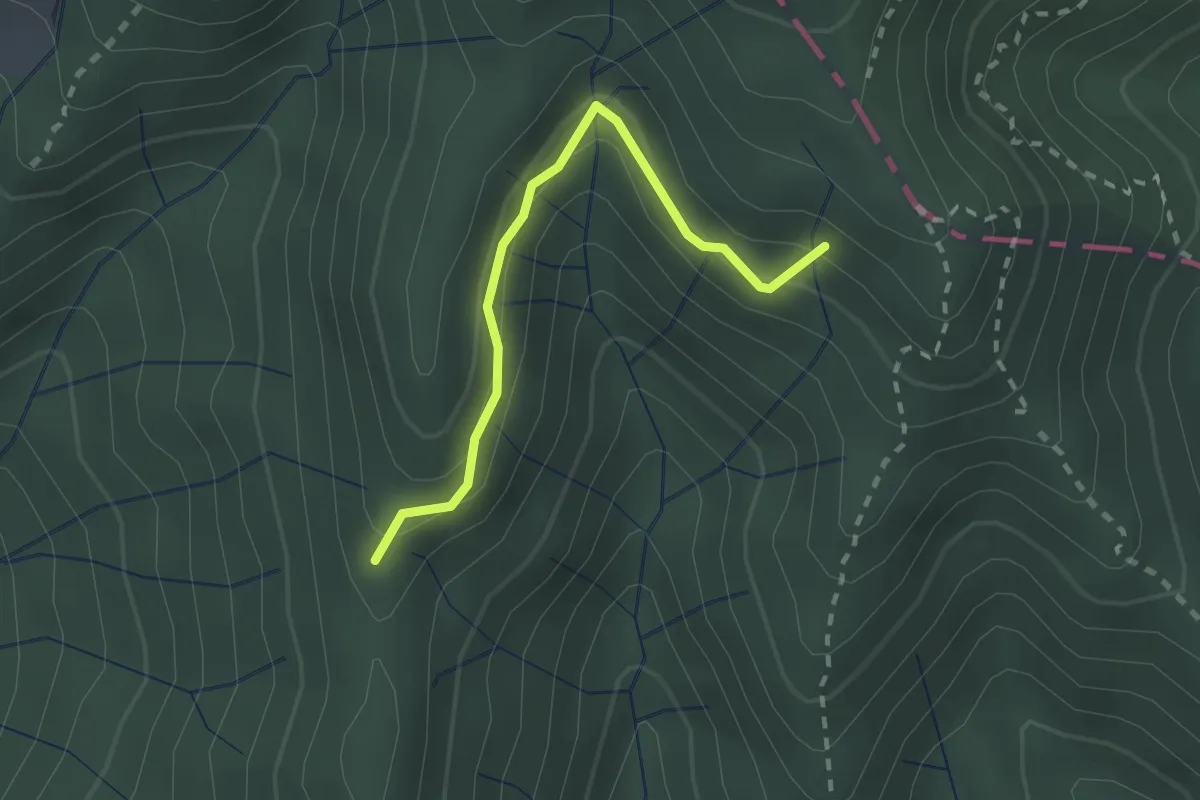
Easy · Trail
Percorso 373 – Percorso 304
2.2 km · ↑ 131 m · 48 min · 14 km away
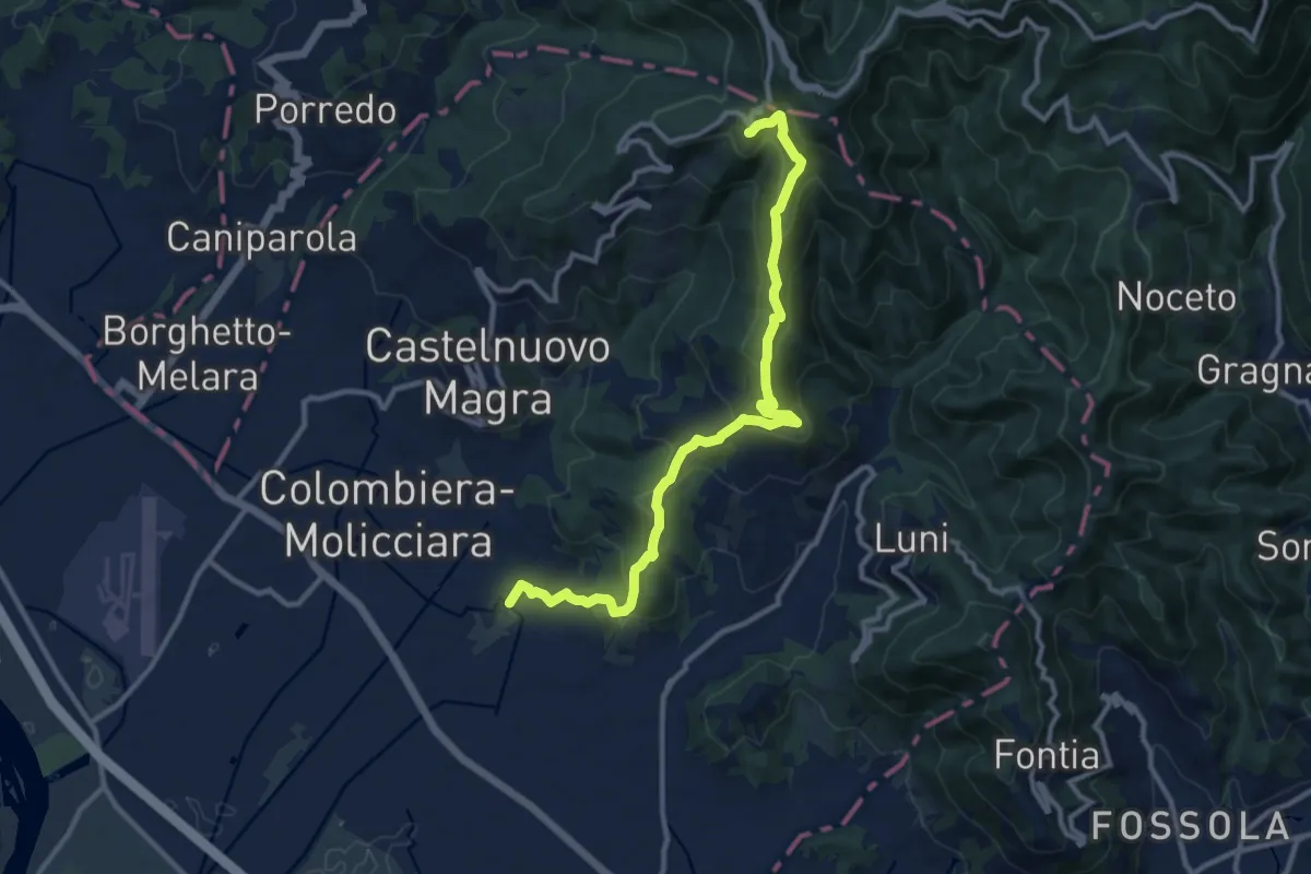
Medium · Trail
Coll. VF - Olmarello - Sarticola – Monticello – C. Bertella
12.1 km · ↑ 625 m · 4 h 13 min · 15 km away
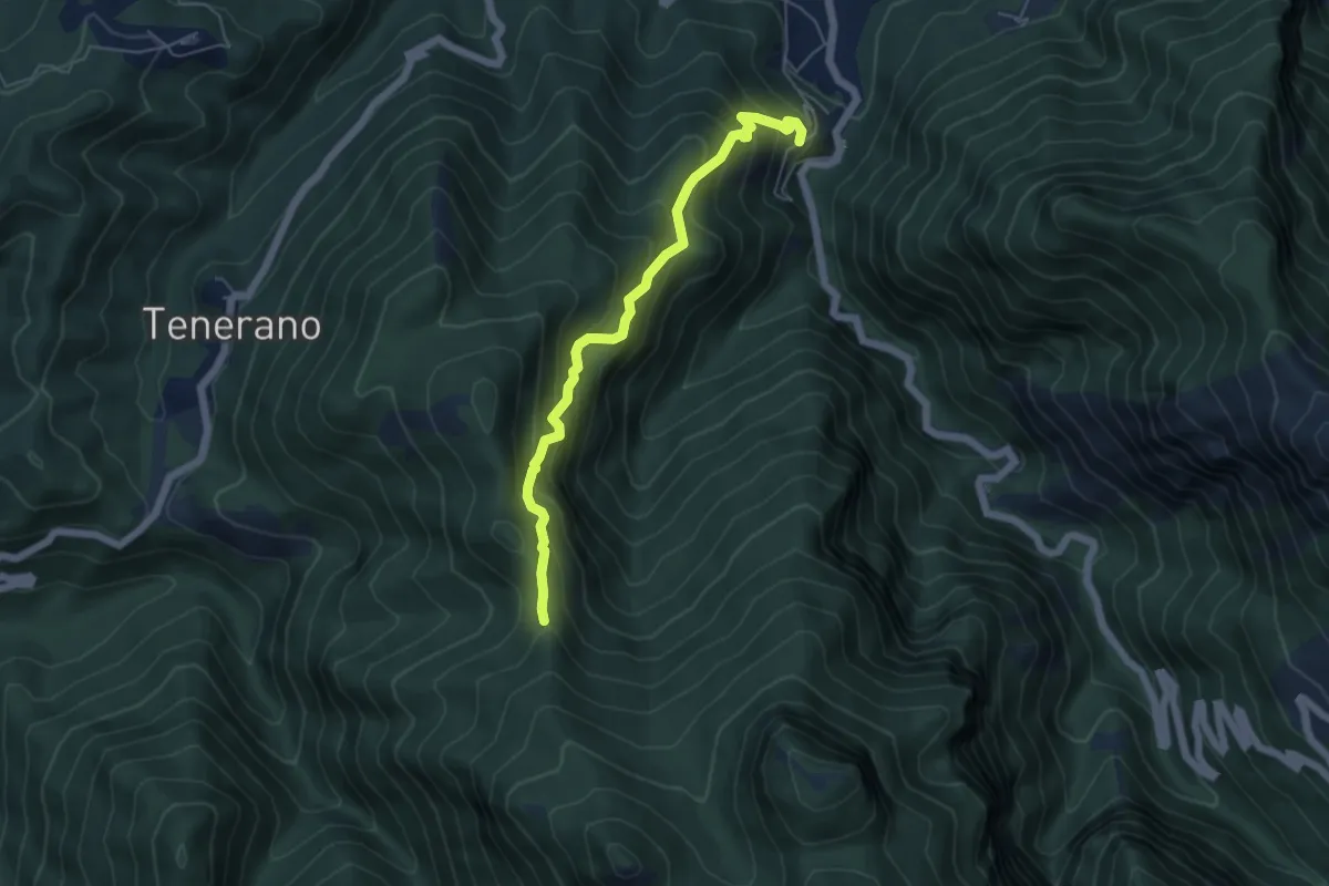
Medium · Trail
Monzone Alto – Foce Sant'Antonio
5.5 km · ↑ 635 m · 2 h 40 min · 15 km away
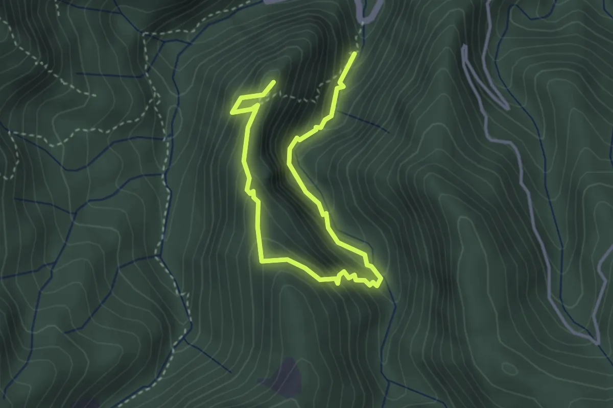
Medium · Summit
Anello del Battiferro
4.6 km · ↑ 392 m · 1 h 56 min · 15 km away
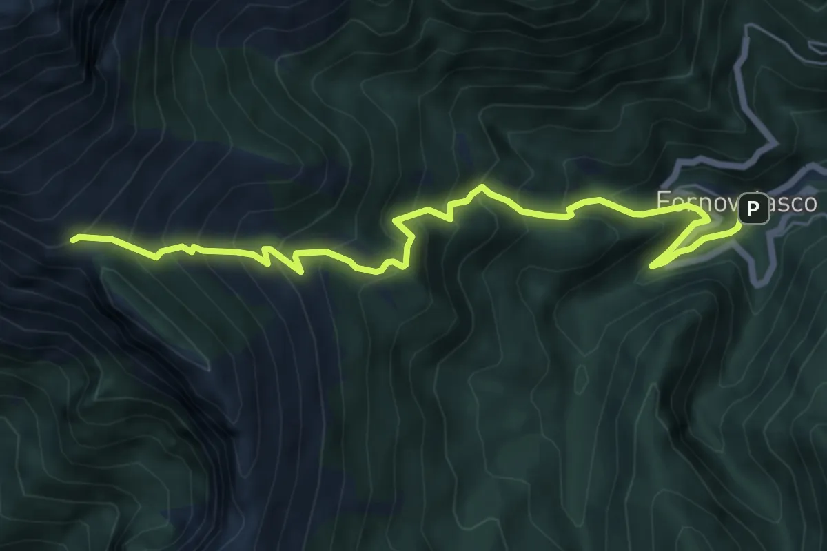
Medium · Trail
Fornovolasco – Foce di Valli
7.2 km · ↑ 800 m · 3 h 26 min · 15 km away
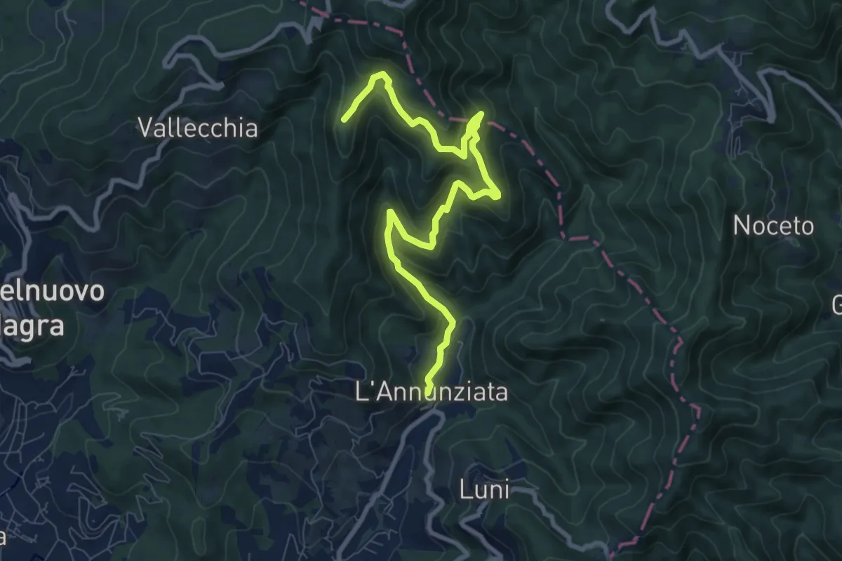
Medium · Trail
Percorso 364 - Località Annunziata – Percorso 304
9.3 km · ↑ 643 m · 3 h 36 min · 15 km away
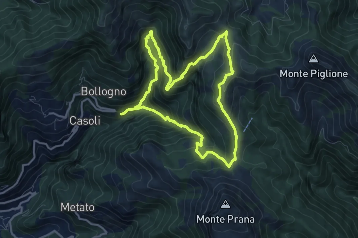
Medium · Summit
ANELLO 6 - CASOLI - FOCE DEL PALLONE - CASOLI
8.5 km · ↑ 746 m · 3 h 45 min · 15 km away
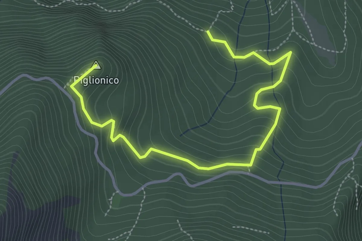
Medium · Summit
Fosco Maraini 5 - Lo specchio-cellulare
3.9 km · ↑ 306 m · 1 h 35 min · 15 km away
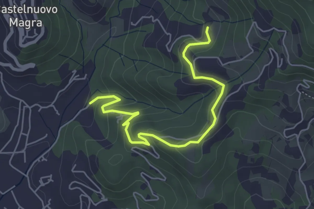
Easy · Trail
Bivio Molino Dogliotti - Marciano
5.4 km · ↑ 211 m · 1 h 44 min · 15 km away
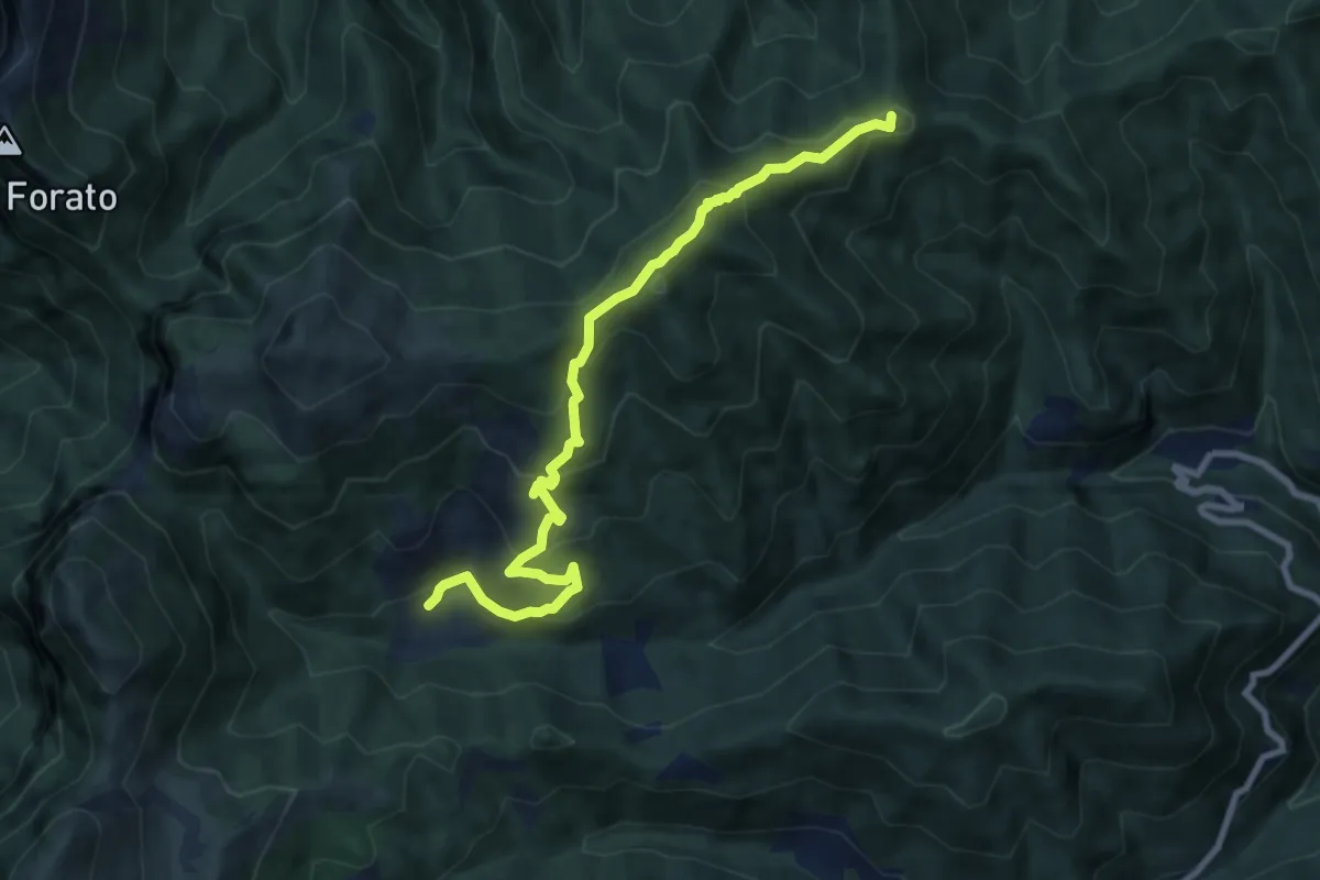
Medium · Summit
Trassilico – Palagnana
9.5 km · ↑ 687 m · 3 h 43 min · 15 km away
Easy · Trail
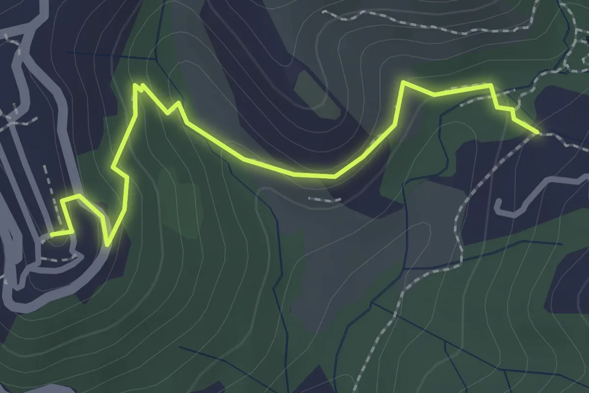
Sentiero 301 – Sentiero 302
2.6 km · ↑ 109 m · 50 min · 15 km away