Trails near Muggia / Milje
76 hikes starting within 15 km, nearest first.
Nearest first, page 1 of 2
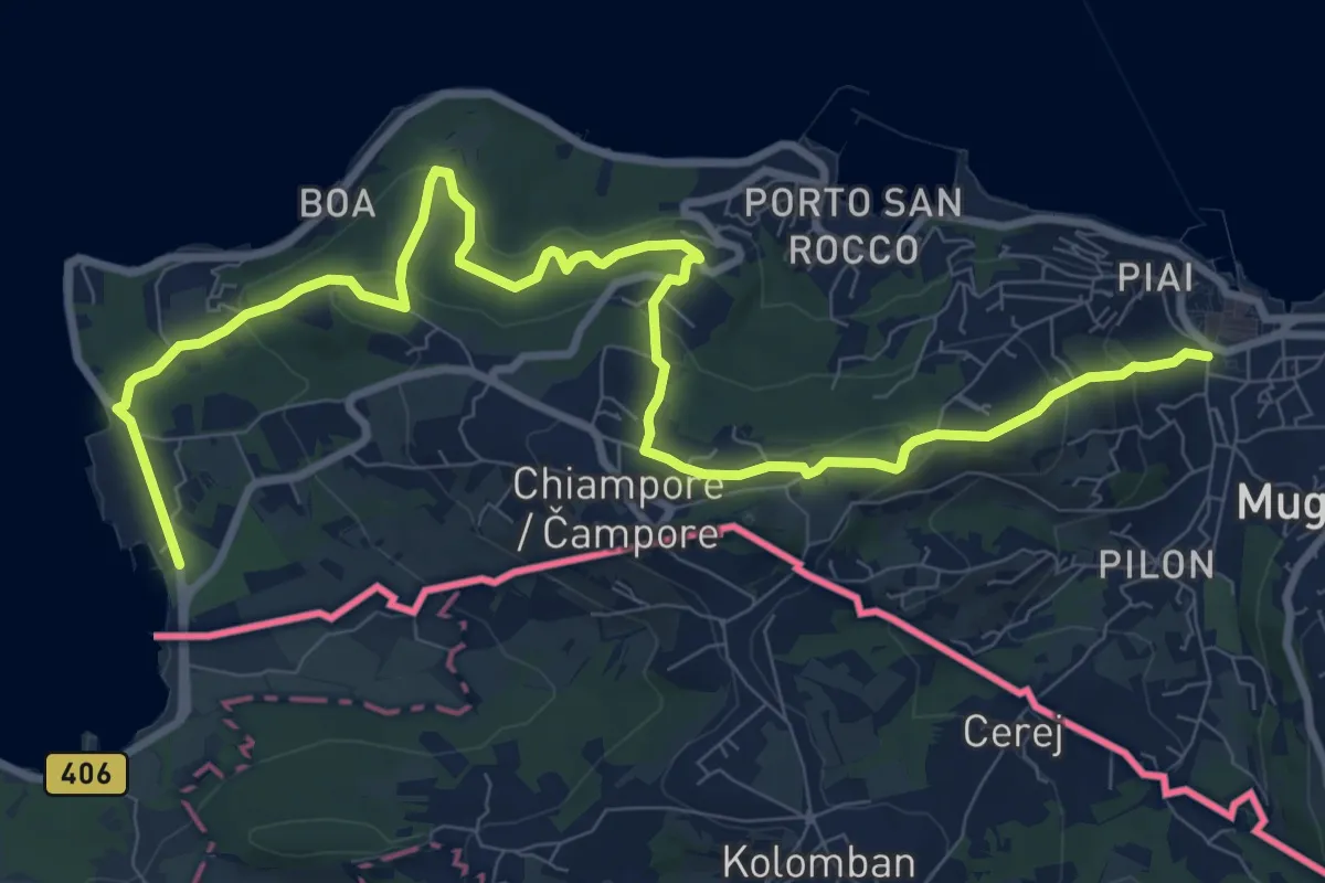
Medium · Trail
Muggia – San Bartolomeo
12.4 km · ↑ 497 m · 4 h · 1 km away
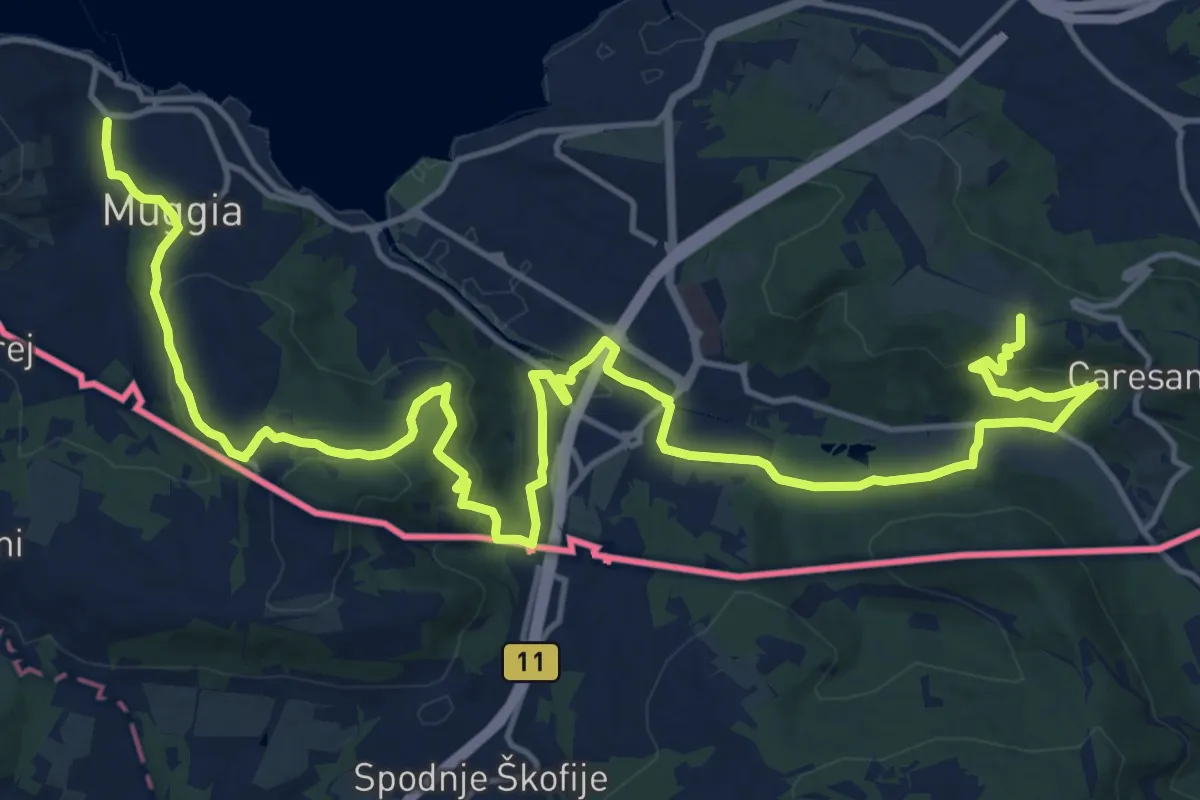
Demanding · Summit
Centro visite Val Rosandra – Muggia
23.2 km · ↑ 656 m · 6 h 54 min · 1 km away
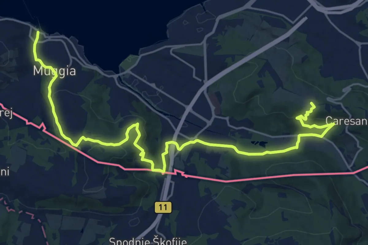
Demanding · Summit
Via Alpina Yellow B1
21.2 km · ↑ 650 m · 6 h 25 min · 1 km away
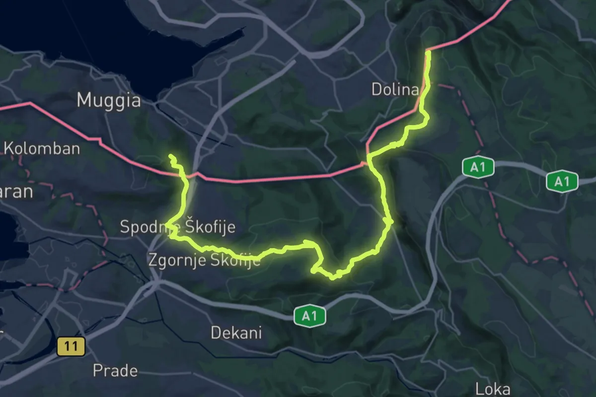
Demanding · Summit
Alpe Adria Trail E37
33.0 km · ↑ 1382 m · 10 h 47 min · 2 km away
Easy · Trail
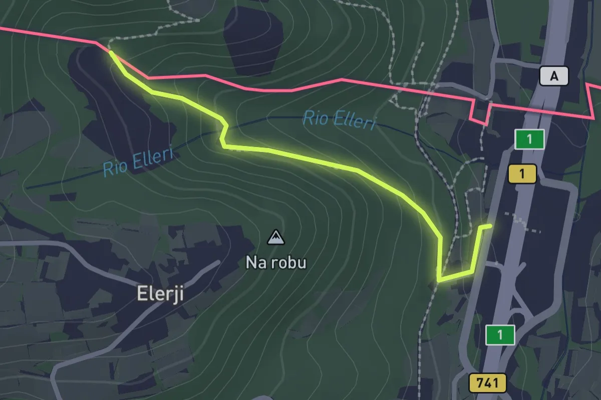
Sentiero dei Graničari - Ivan Jug
2.2 km · ↑ 122 m · 47 min · 2 km away
Medium · Summit
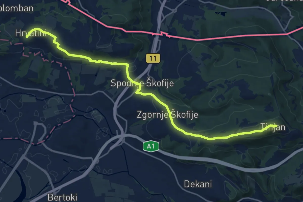
pohodniška pot Tinjan - Škofije - Hrvatini
16.5 km · ↑ 421 m · 4 h 49 min · 2 km away
Easy · Summit
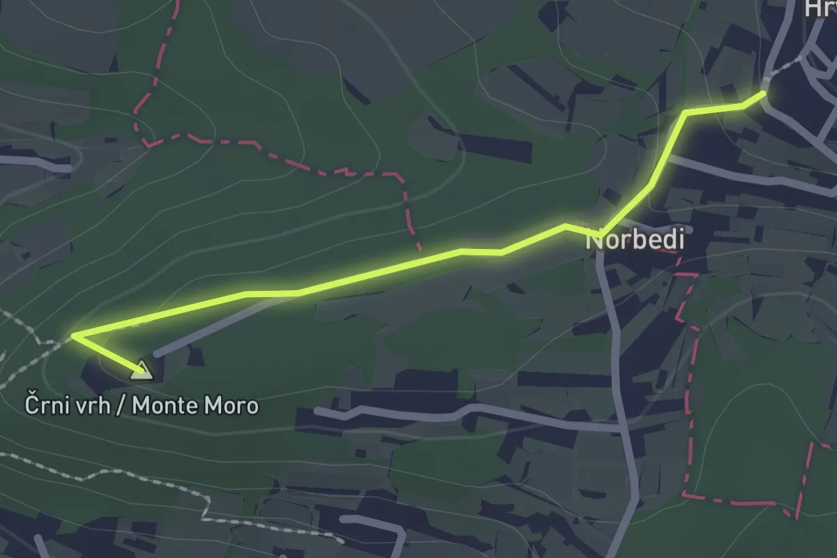
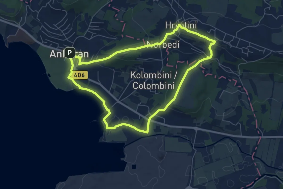
pohodniška pot Hrvatini - Ankaran
2.0 km · ↑ 69 m · 37 min · 2 km away
Easy · Summit
Beblerjeva pot
6.2 km · ↑ 161 m · 1 h 54 min · 3 km away
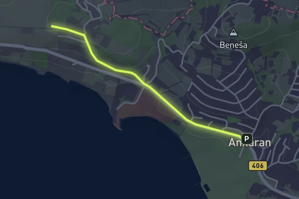
Easy · Summit
pohodniška pot Ankaran - Debeli rtič
3.1 km · ↑ 44 m · 49 min · 3 km away
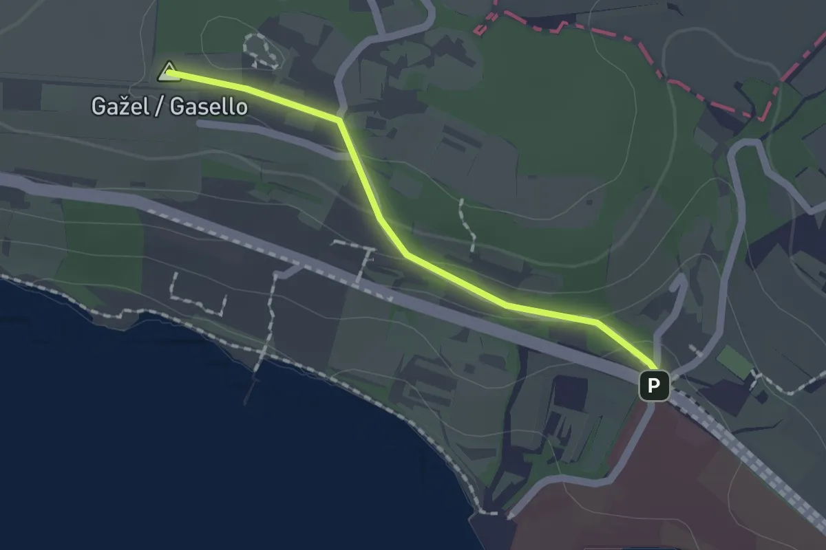
Easy · Summit
Debeli Rtič – Valdoltra
1.5 km · ↑ 43 m · 27 min · 4 km away
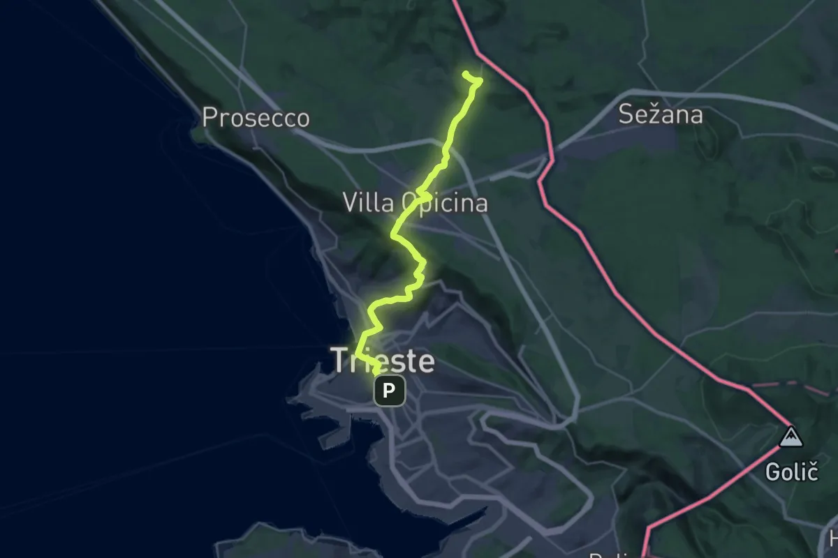
Medium · Summit
Jakobova pot – Primorska veja
13.0 km · ↑ 477 m · 4 h 6 min · 5 km away
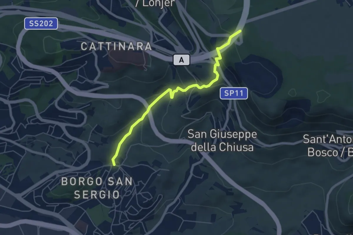
Easy · Trail
Sentiero delle Vacche
5.3 km · ↑ 316 m · 1 h 56 min · 7 km away
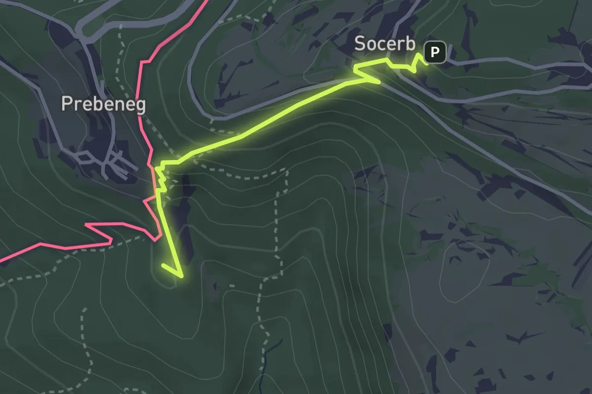
Medium · Summit
Slovenska planinska pot
2.9 km · ↑ 247 m · 1 h 13 min · 7 km away
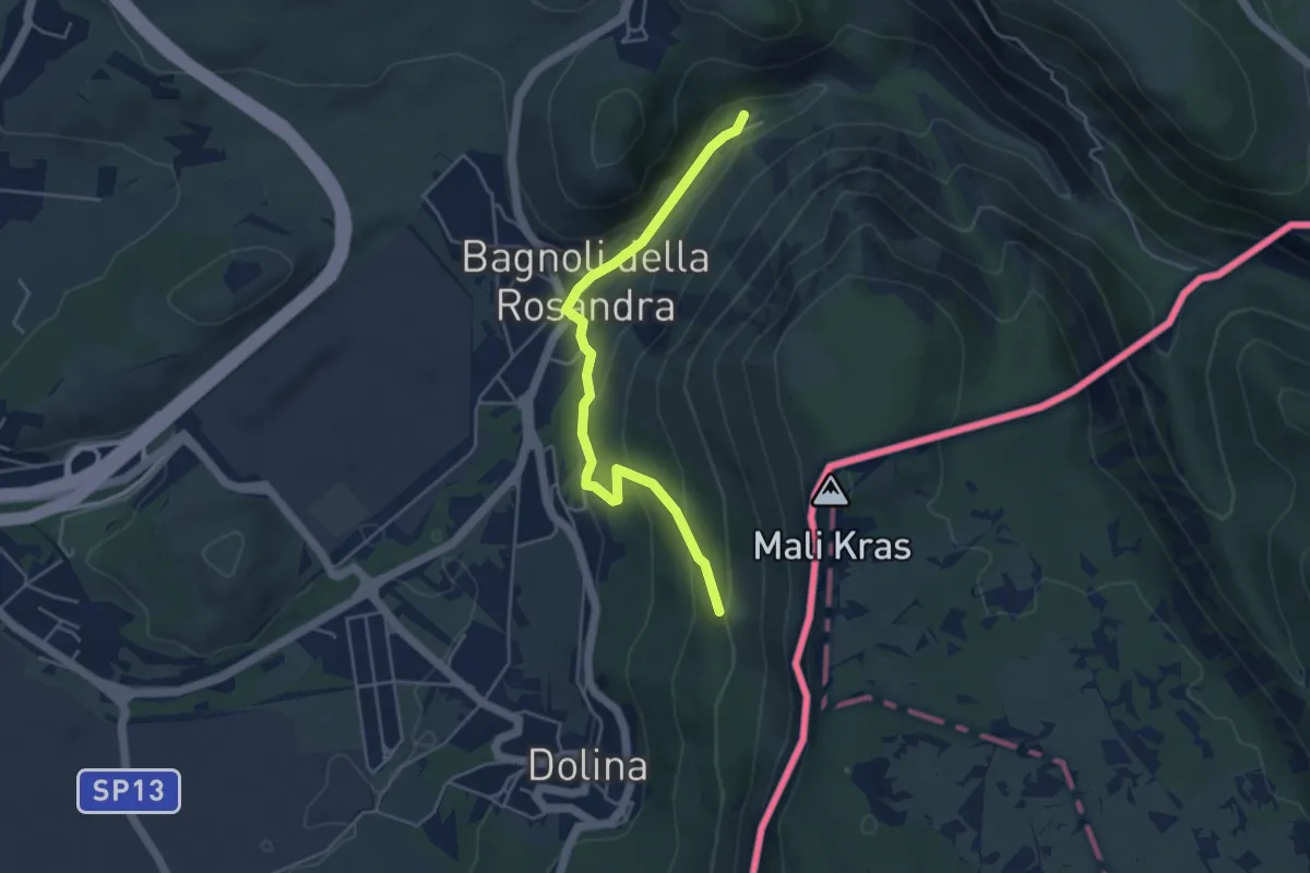
Easy · Cabin
Rifugio Premuda (quota 84 m) – Vedetta di Crogole bivio sentiero CAI 001 (quota 231 m)
4.5 km · ↑ 205 m · 1 h 30 min · 7 km away
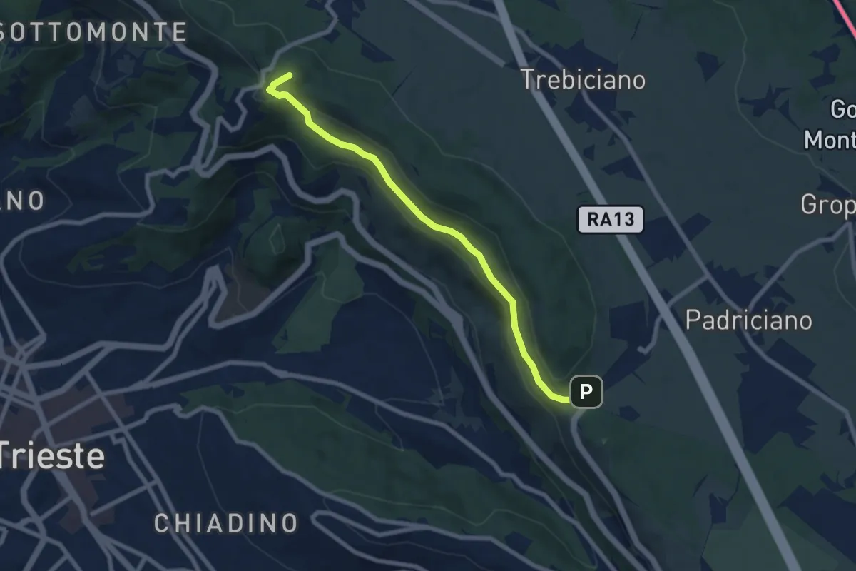
Easy · Summit
Passeggiata De Rin
7.0 km · ↑ 241 m · 2 h 10 min · 7 km away
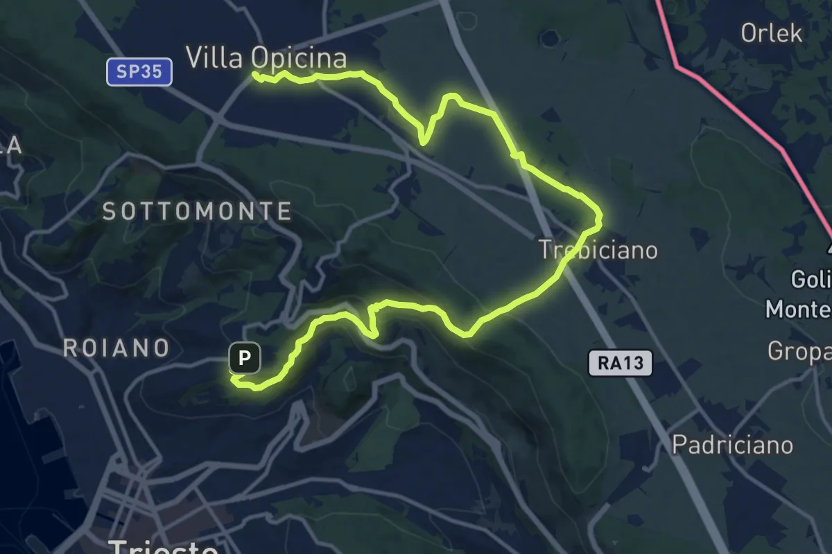
Medium · Trail
Opicina / Opčine – Cologna / Kolonja
17.8 km · ↑ 485 m · 5 h 15 min · 7 km away
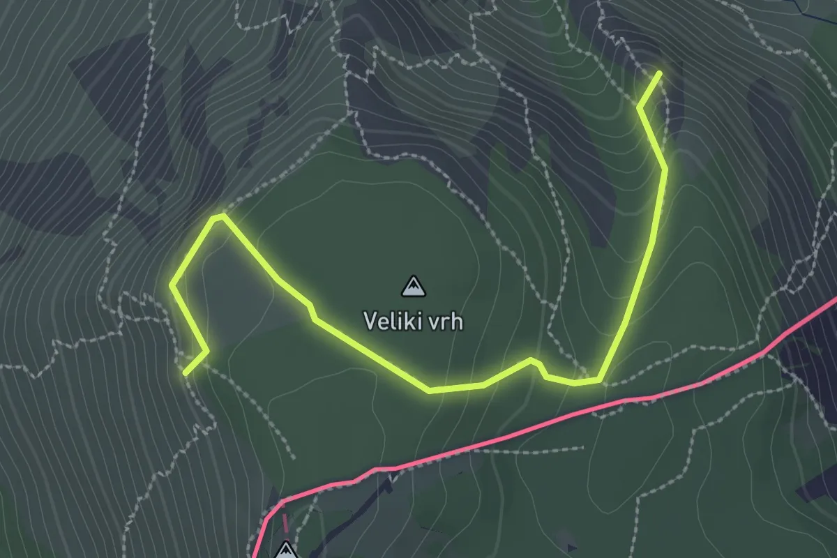
Medium · Summit
Rio del Crinale – Bivio sentiero n. 001 (quota 115 m) – Monte Carso – Bivio sentiero n. 001 (quota 410 m)
3.1 km · ↑ 229 m · 1 h 14 min · 8 km away
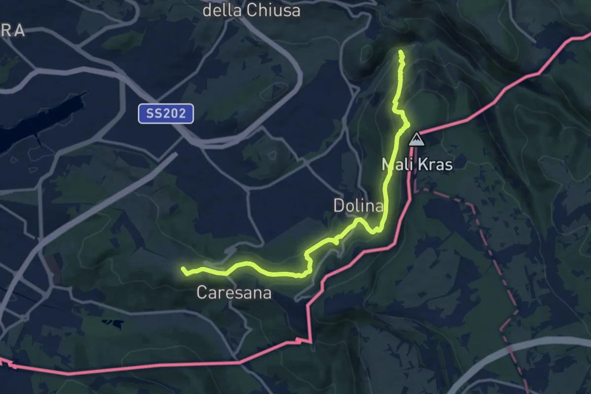
Medium · Summit
Via Alpina Stage 1: Muggia - Refugio Premuda
12.2 km · ↑ 788 m · 4 h 36 min · 8 km away
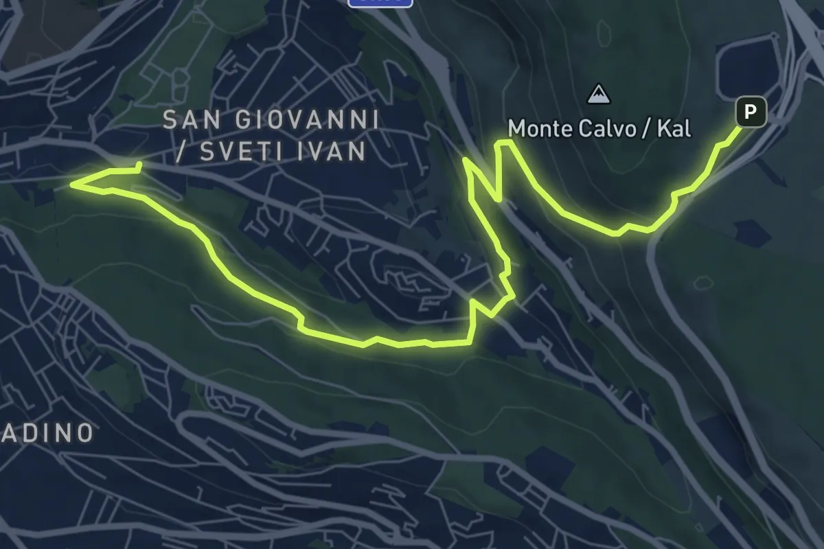
Medium · Trail
Via Pindemonte – Area di Ricerca di Padriciano
9.6 km · ↑ 369 m · 3 h 3 min · 8 km away
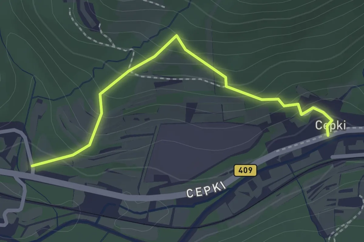
Easy · Trail
Pot za srce
2.1 km · ↑ 147 m · 49 min · 8 km away
Easy · Trail
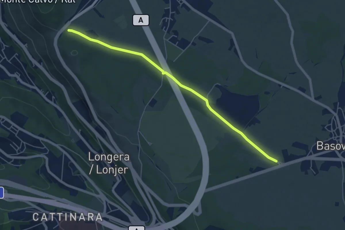
Bivio sentiero 001 (quota 352 m) – Bivio sentiero 044 (Bosco Igouza) (quota 368 m)
5.4 km · ↑ 23 m · 1 h 19 min · 8 km away
Medium · Summit
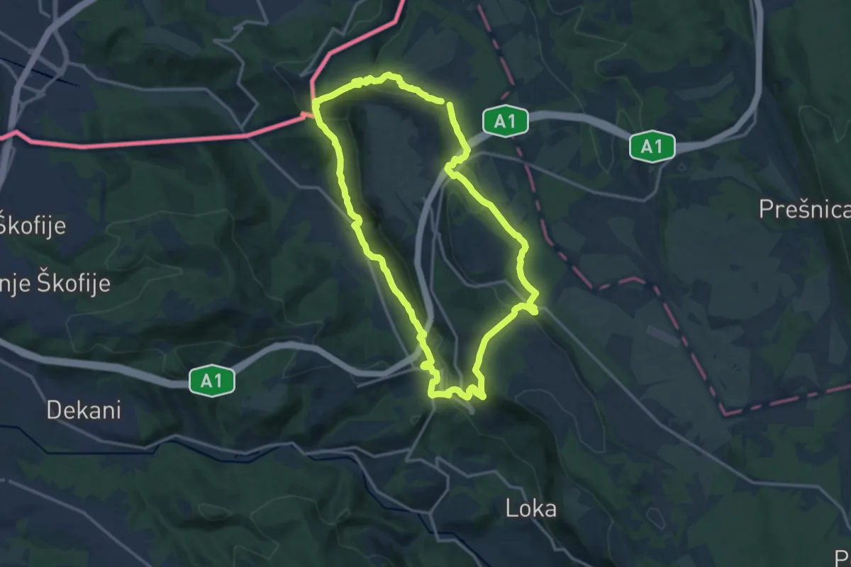
P3
13.8 km · ↑ 546 m · 4 h 38 min · 8 km away
Medium · Trail
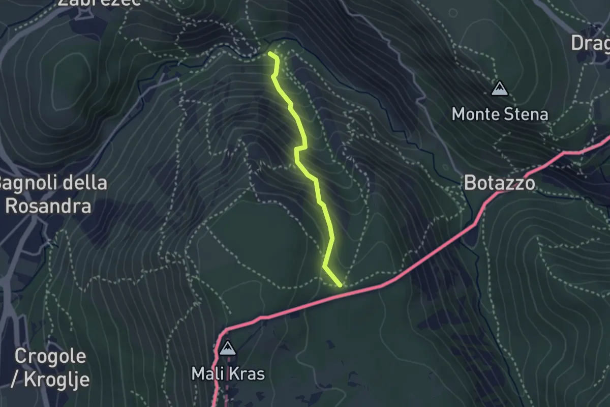
Rio del Crinale - bivio sentiero n. 1 – Sella di Monte Carso - bivio sentiero n. 25
2.3 km · ↑ 296 m · 1 h 11 min · 8 km away
Easy · Trail
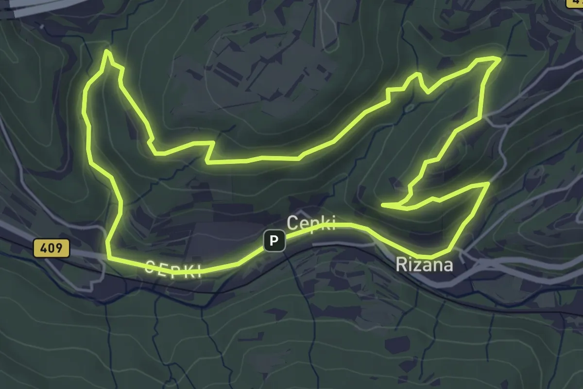
Pot za srce
5.6 km · ↑ 192 m · 1 h 48 min · 8 km away
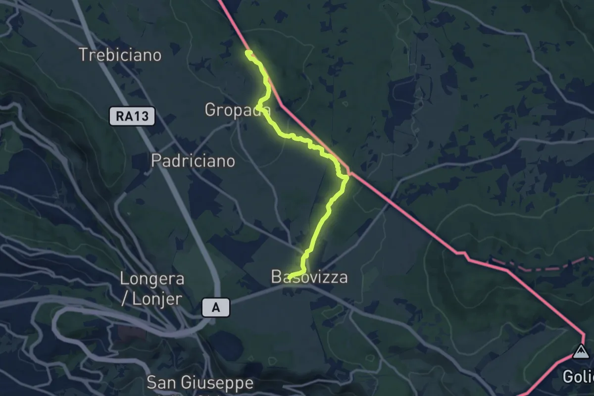
Medium · Summit
Repen – Basovizza / Bazovica
10.5 km · ↑ 131 m · 2 h 46 min · 8 km away
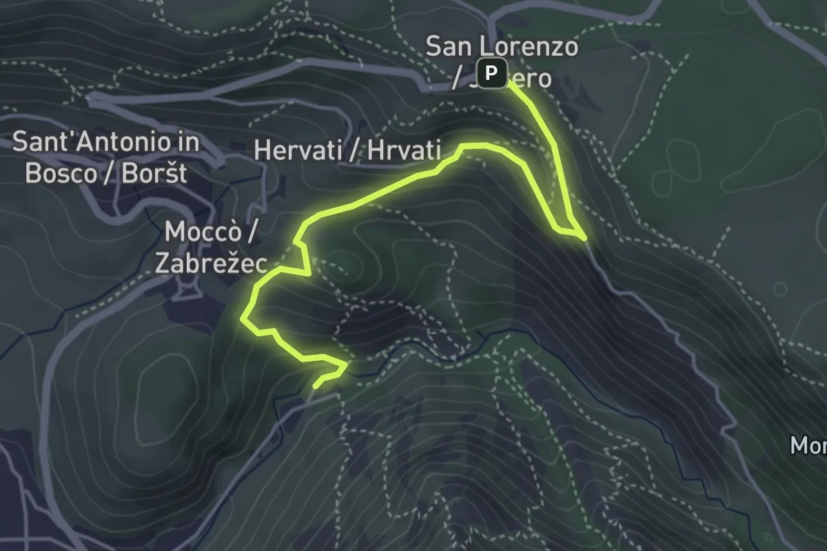
Medium · Cabin
Rifugio Premuda - bivio sentiero n. 1 – San Lorenzo / Jezero - bivio sentiero n. 1
4.6 km · ↑ 289 m · 1 h 42 min · 8 km away
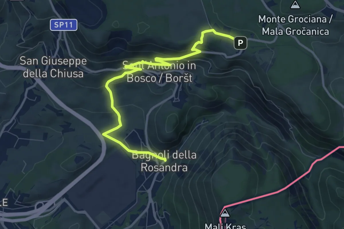
Medium · Trail
Sentiero Rose d'inverno
9.3 km · ↑ 342 m · 2 h 57 min · 8 km away
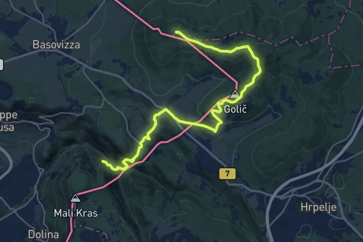
Demanding · Summit
Via Alpina Stage 2: Refugio Premuda - Matavun (Divača)
18.9 km · ↑ 627 m · 5 h 49 min · 9 km away
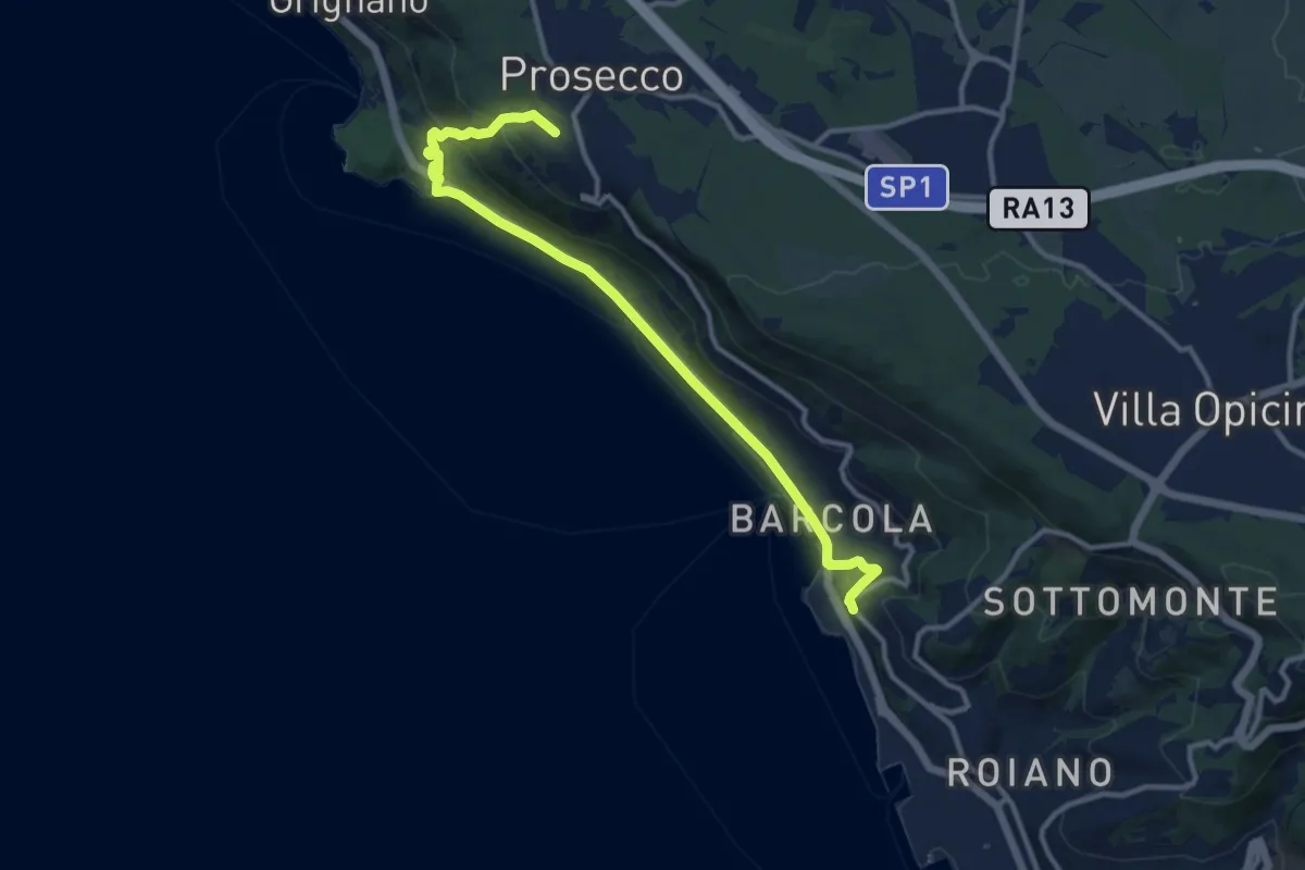
Medium · Trail
Sentiero natura / Pešpot za Miramar
12.3 km · ↑ 324 m · 3 h 37 min · 9 km away
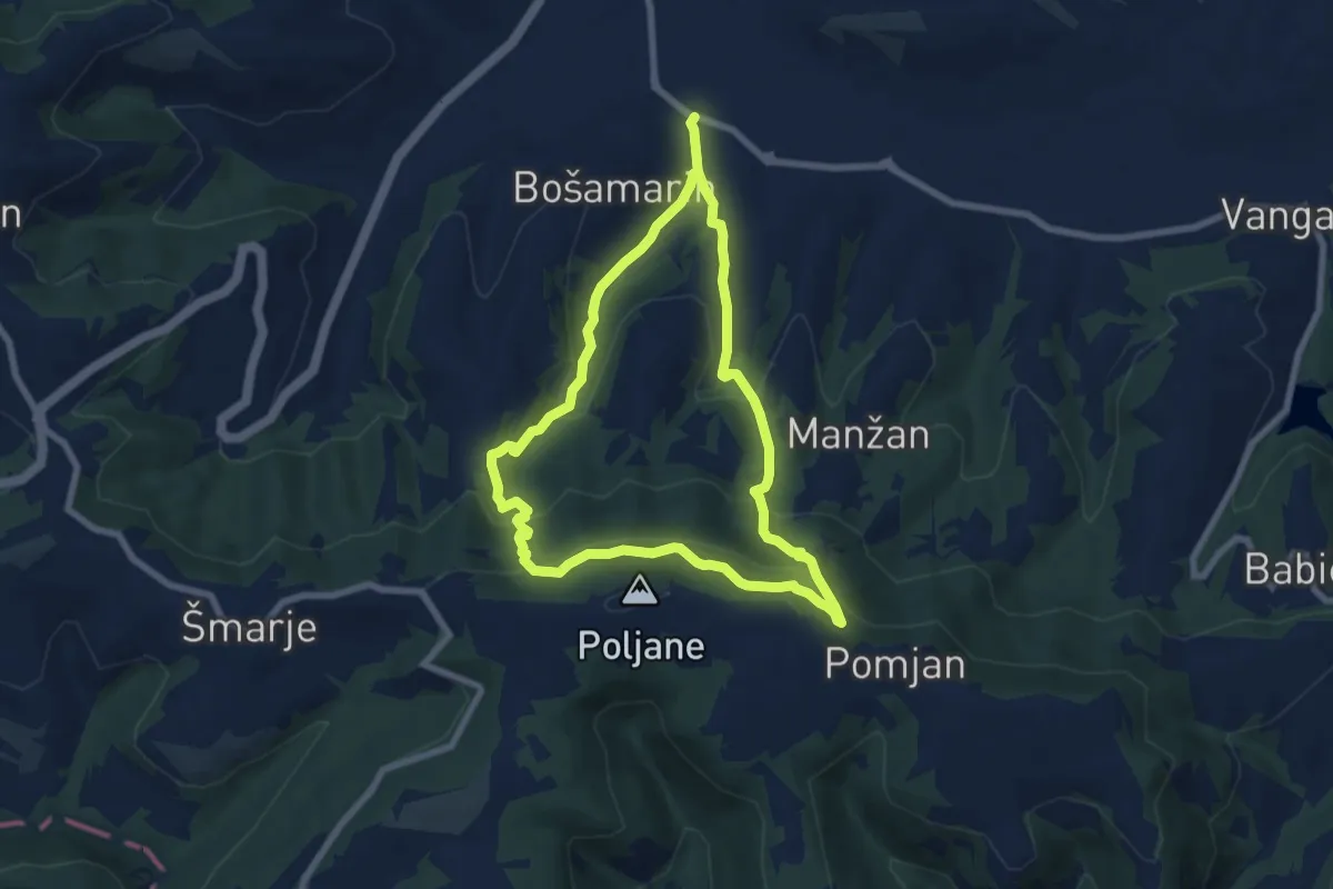
Medium · Trail
P5
6.8 km · ↑ 401 m · 2 h 34 min · 9 km away
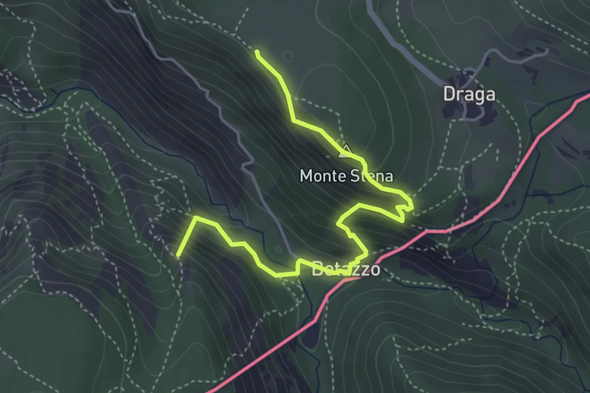
Medium · Summit
Basovizza – Centro visite Val Rosandra
4.5 km · ↑ 354 m · 1 h 49 min · 9 km away
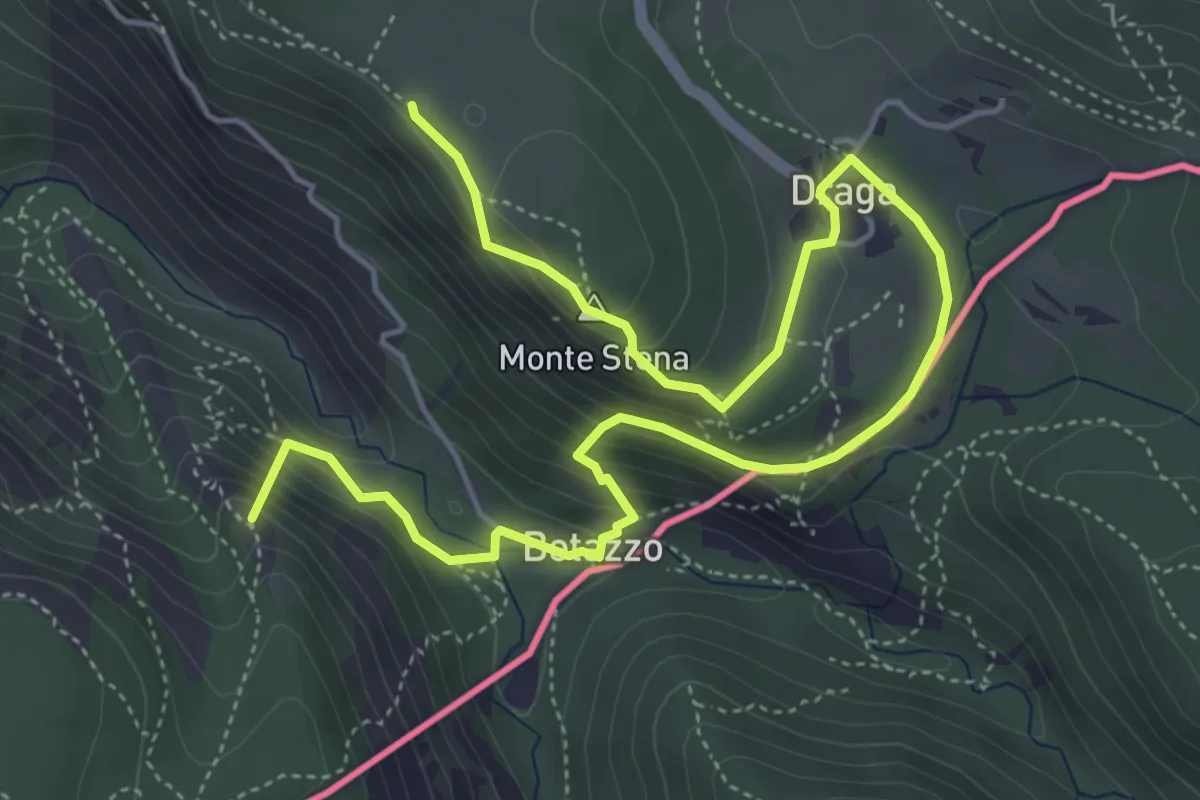
Medium · Summit
Sentiero di forma circolare de Val Rosandra
7.0 km · ↑ 378 m · 2 h 28 min · 9 km away
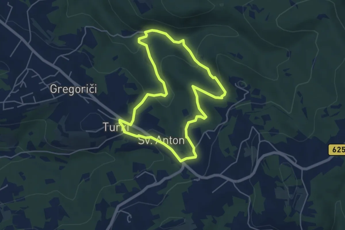
Easy · Trail
Pot za srce
4.2 km · ↑ 178 m · 1 h 27 min · 9 km away
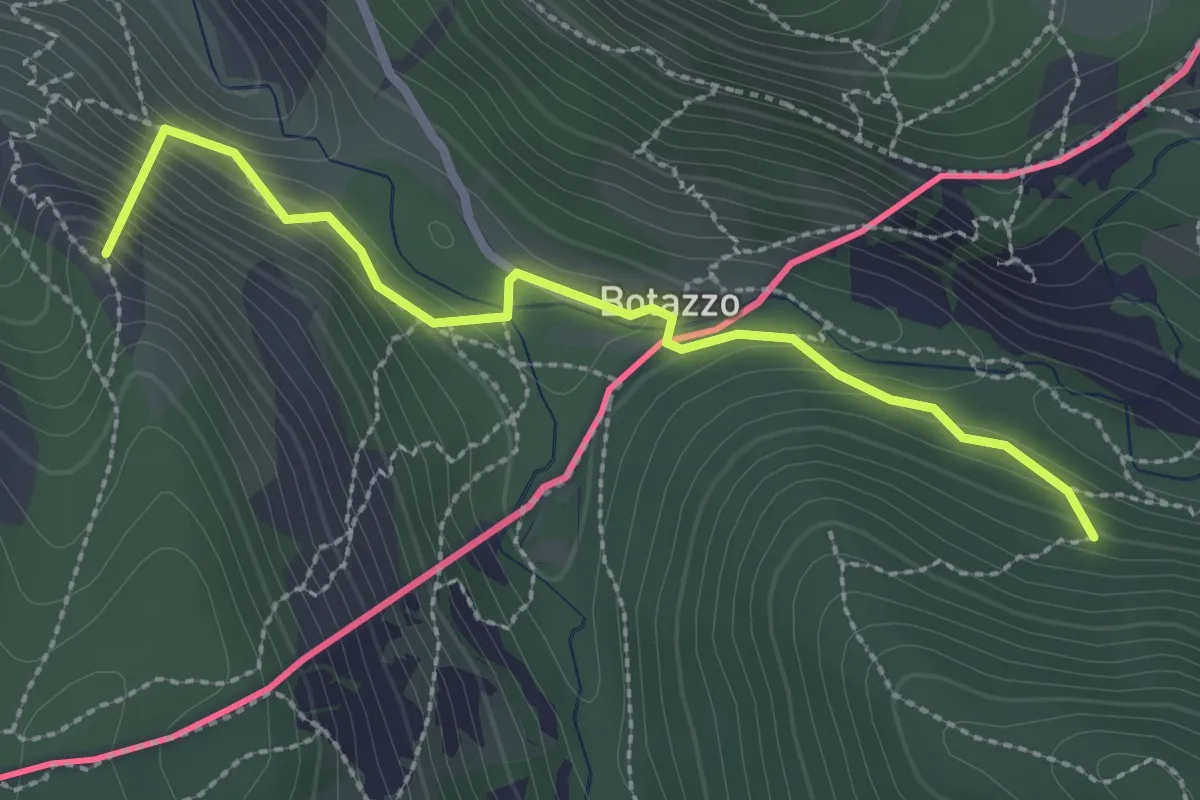
Medium · Summit
Sentiero dell'Amicizia
2.7 km · ↑ 163 m · 59 min · 9 km away
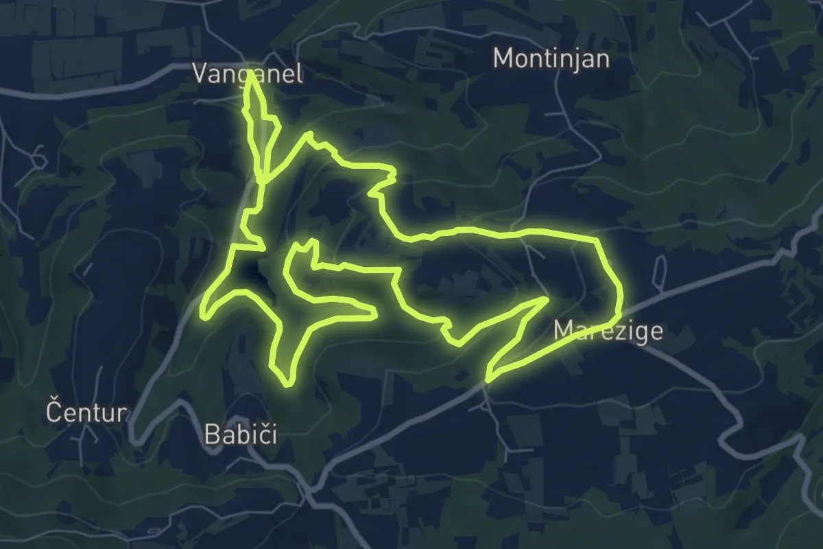
Medium · Trail
Pot za srce
9.1 km · ↑ 351 m · 3 h 3 min · 10 km away
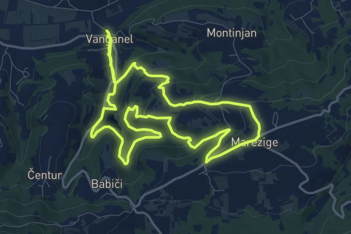
Demanding · Trail
P8
20.0 km · ↑ 752 m · 6 h 21 min · 10 km away
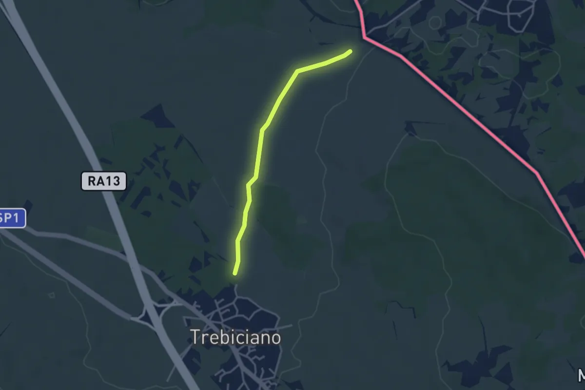
Easy · Trail
Trebiciano / Trebče - bivio sentiero 2 – Sentiero 3
2.9 km · ↑ 13 m · 42 min · 10 km away
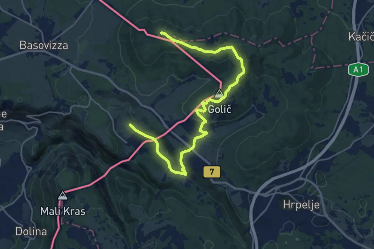
Medium · Summit
Alpe Adria Trail E36
17.4 km · ↑ 382 m · 4 h 56 min · 10 km away
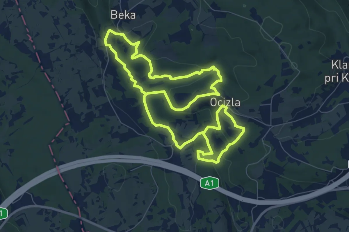
Medium · Trail
Tigrovska pot
14.9 km · ↑ 409 m · 4 h 24 min · 10 km away
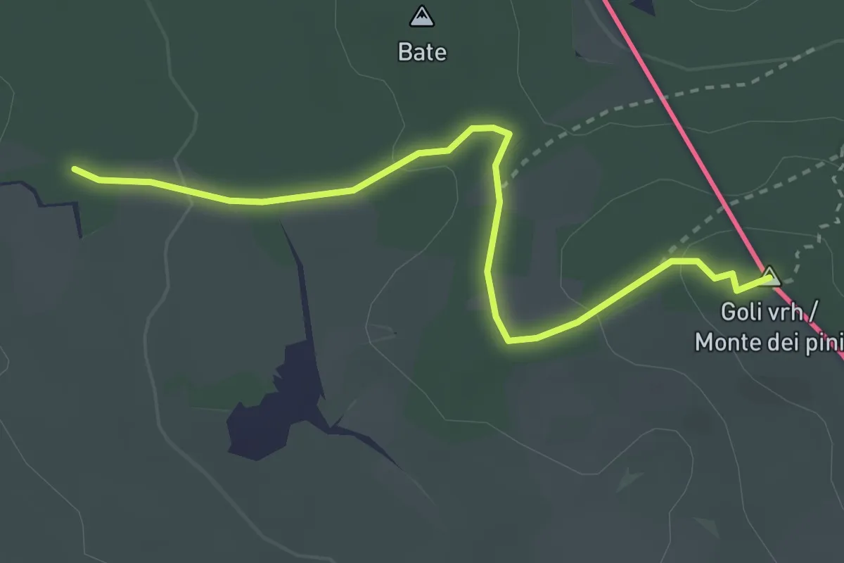
Easy · Summit
Pohod po pečinah
3.2 km · ↑ 79 m · 55 min · 10 km away
Easy · Trail
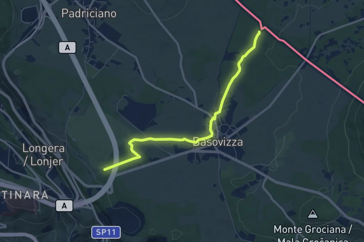
Sentiero Ressel
7.5 km · ↑ 48 m · 1 h 53 min · 10 km away
Medium · Trail
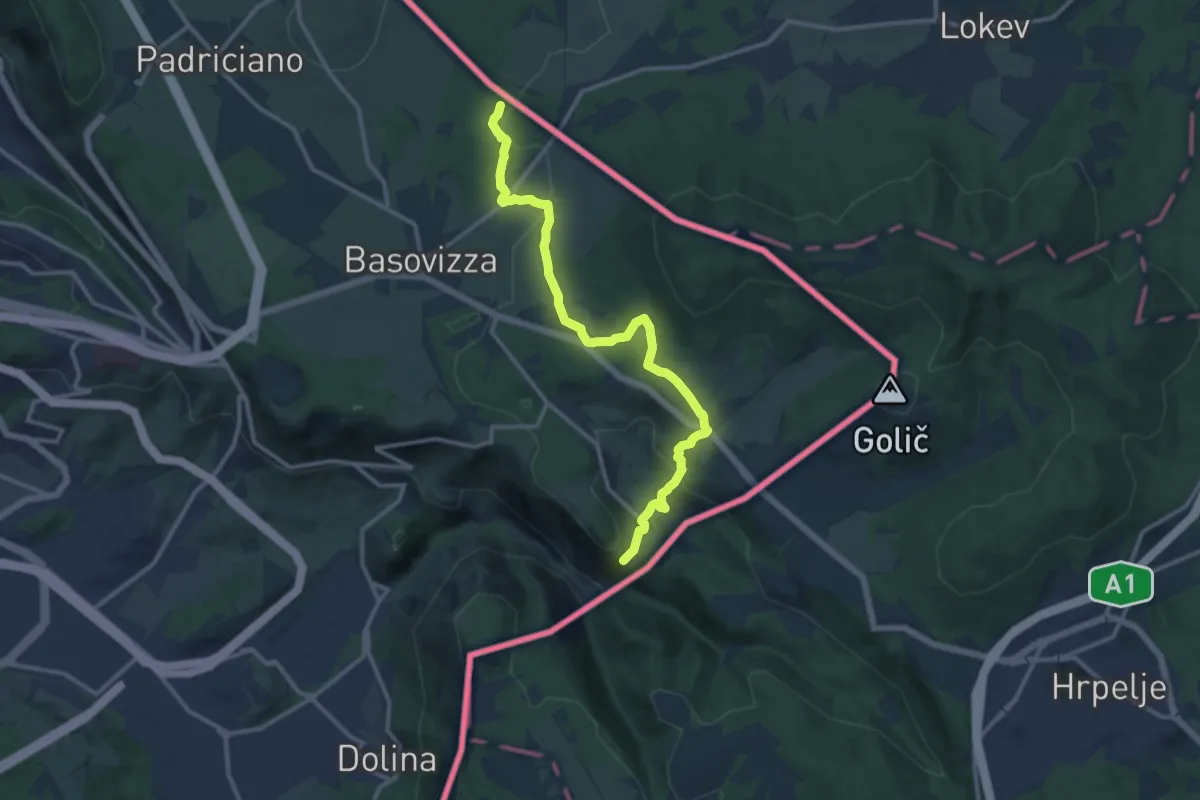
Pese inizio sentiero n. 003 (quota 490 m) – Monte Stena – Bivio sentiero n. 001 (quota 354 m)
13.0 km · ↑ 359 m · 3 h 51 min · 10 km away
Medium · Summit
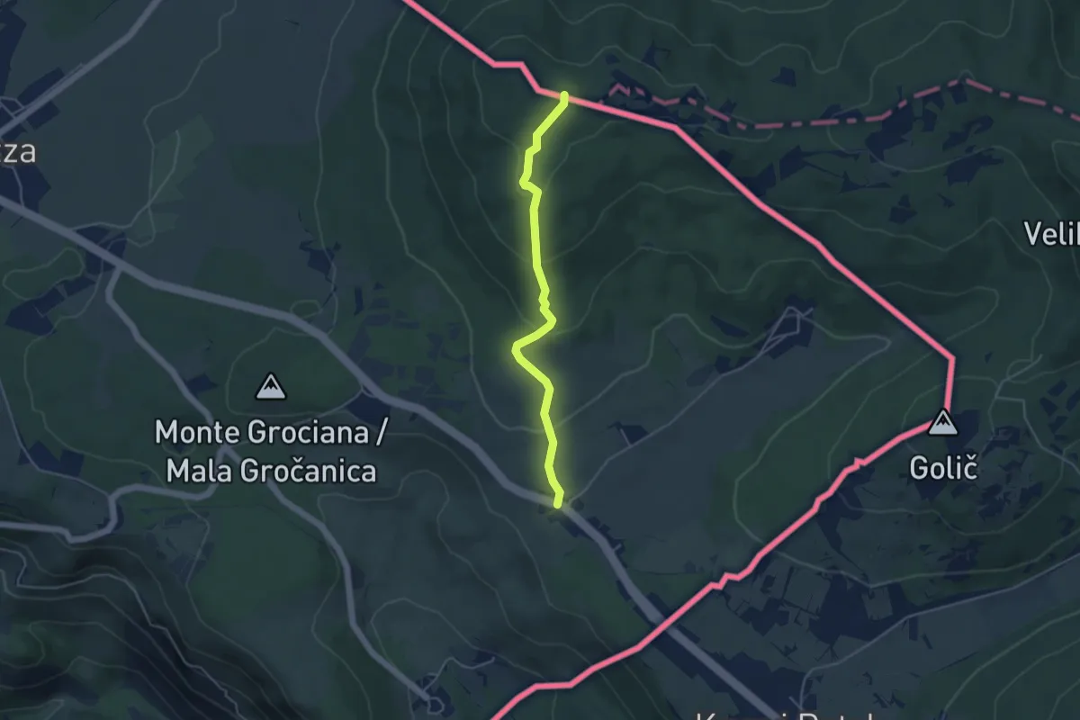
Pesek – Bivio sentiero n. 3
4.2 km · ↑ 194 m · 1 h 24 min · 10 km away
Medium · Trail
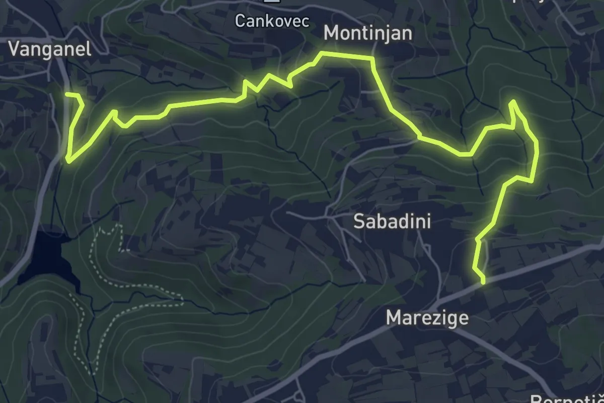
Pot za srce
8.0 km · ↑ 376 m · 2 h 42 min · 10 km away
Easy · Summit
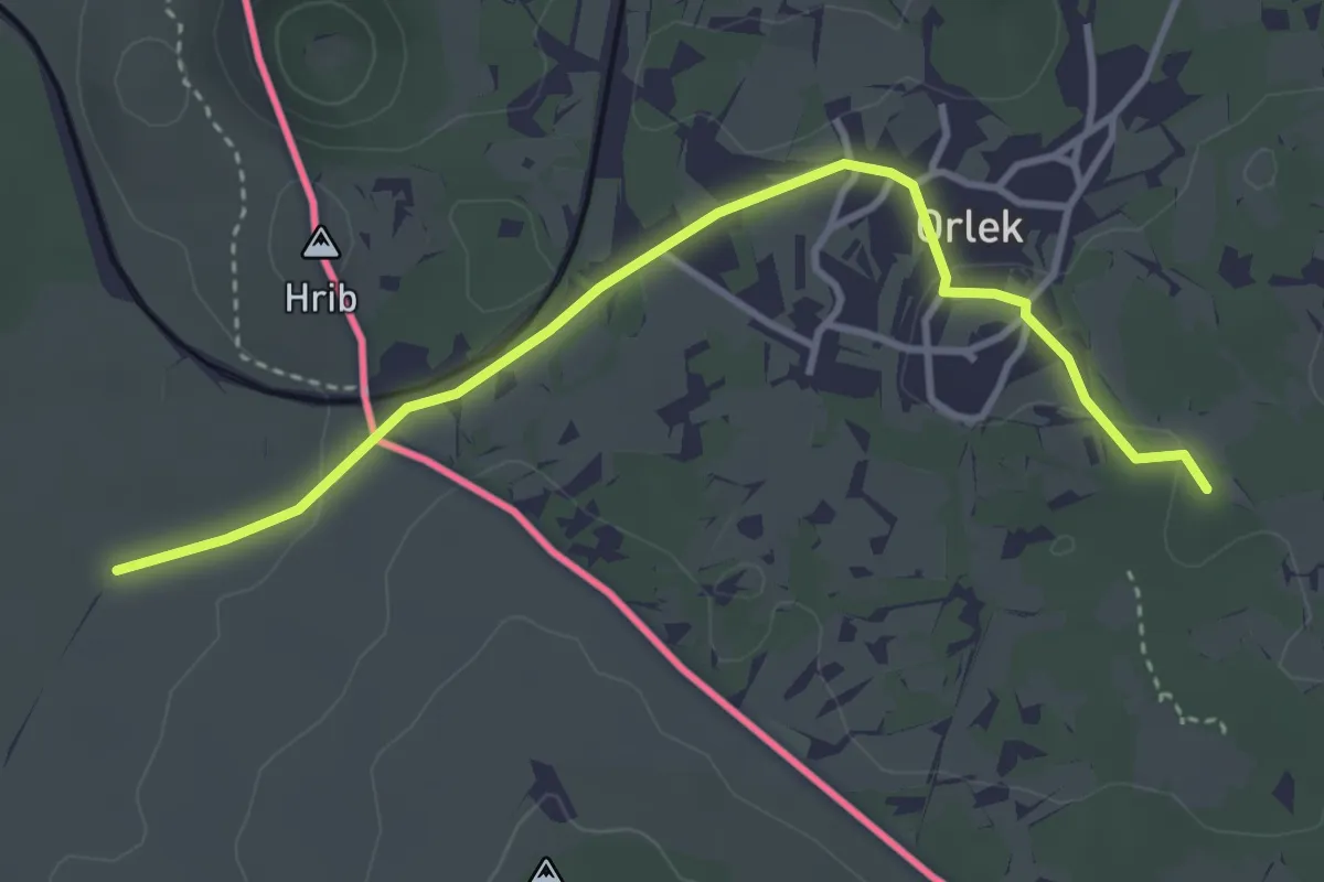
Pot Sonje Mašera
3.8 km · ↑ 28 m · 57 min · 11 km away
Easy · Trail
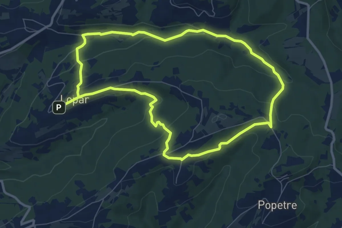
P7
7.2 km · ↑ 194 m · 2 h 13 min · 11 km away
Medium · Summit
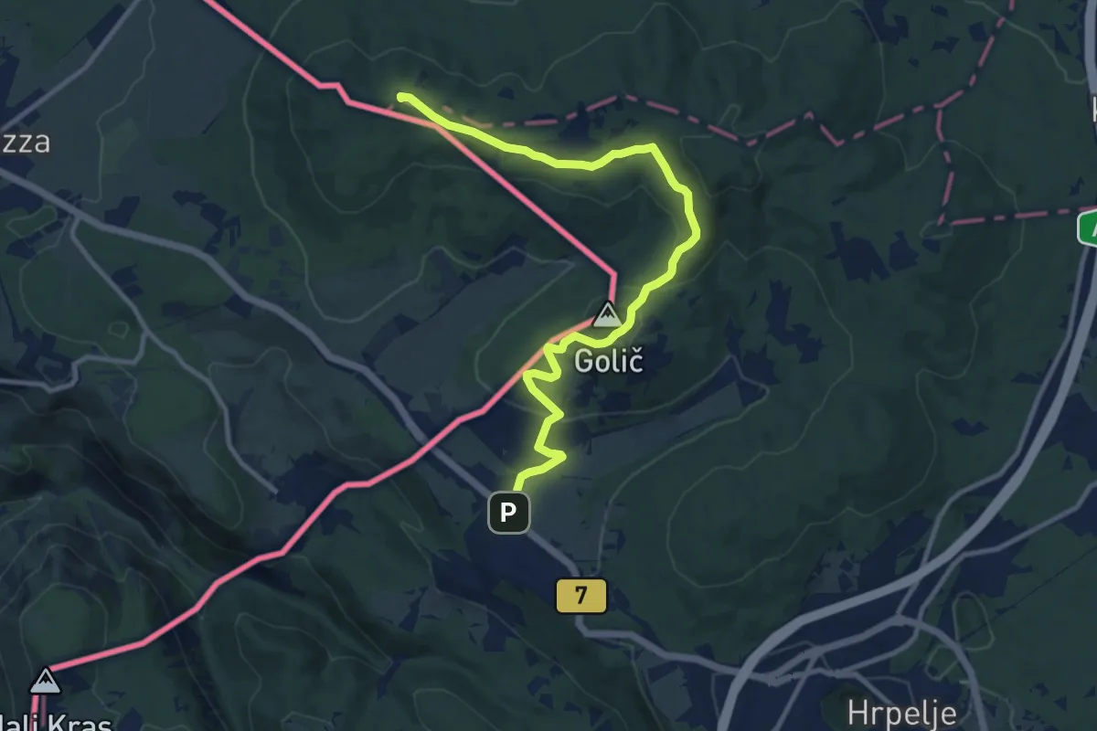
Krvavi Potok - Kokoš
11.7 km · ↑ 247 m · 3 h 17 min · 11 km away
Easy · Summit
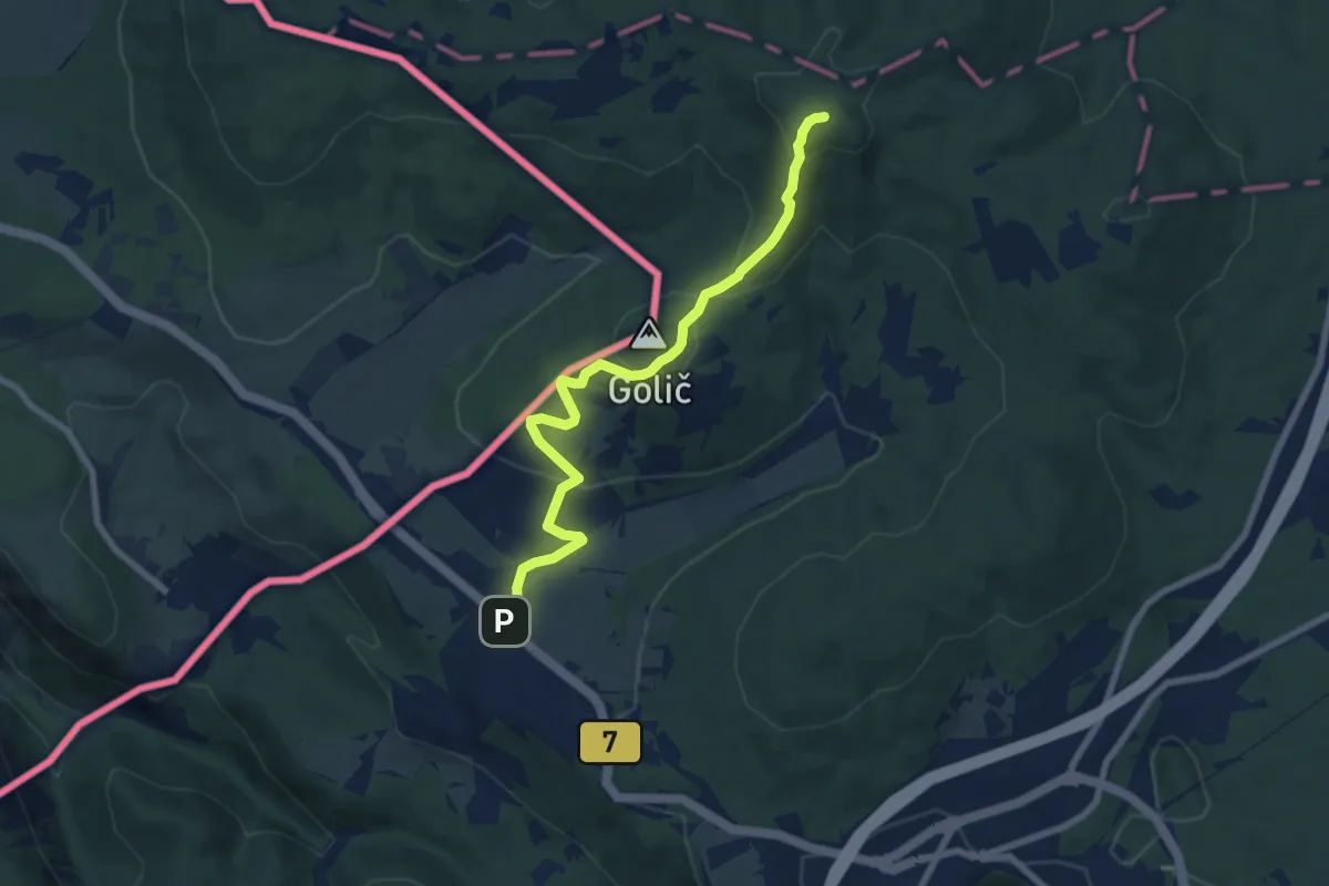
Krvavi Potok - Veliko Gradišče
7.7 km · ↑ 285 m · 2 h 26 min · 11 km away