Trails near Muggia / Milje
76 hikes starting within 15 km, nearest first.
Nearest first, page 2 of 2
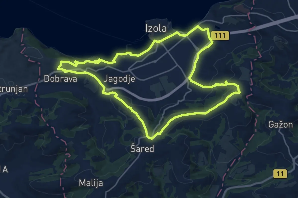
Medium · Trail
P11
14.6 km · ↑ 309 m · 4 h 20 min · 11 km away
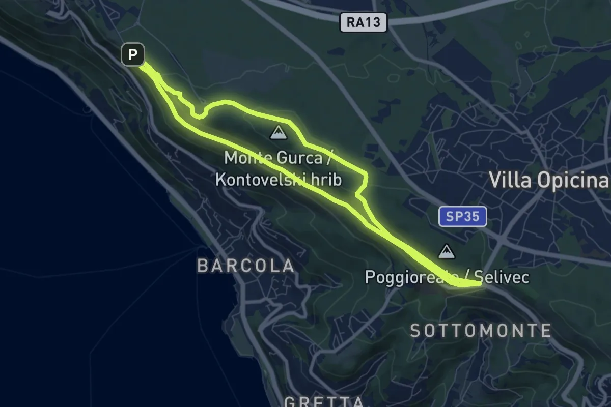
Medium · Summit
Strada Napoleonica
7.9 km · ↑ 150 m · 2 h 17 min · 11 km away
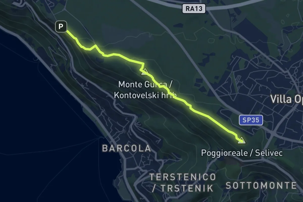
Medium · Summit
Sentiero Nicolò Cobolli
7.2 km · ↑ 210 m · 2 h 9 min · 11 km away
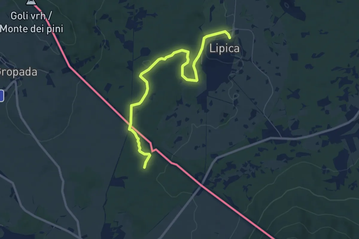
Easy · Trail
Alpe Adria Trail E35
7.5 km · ↑ 43 m · 1 h 51 min · 12 km away
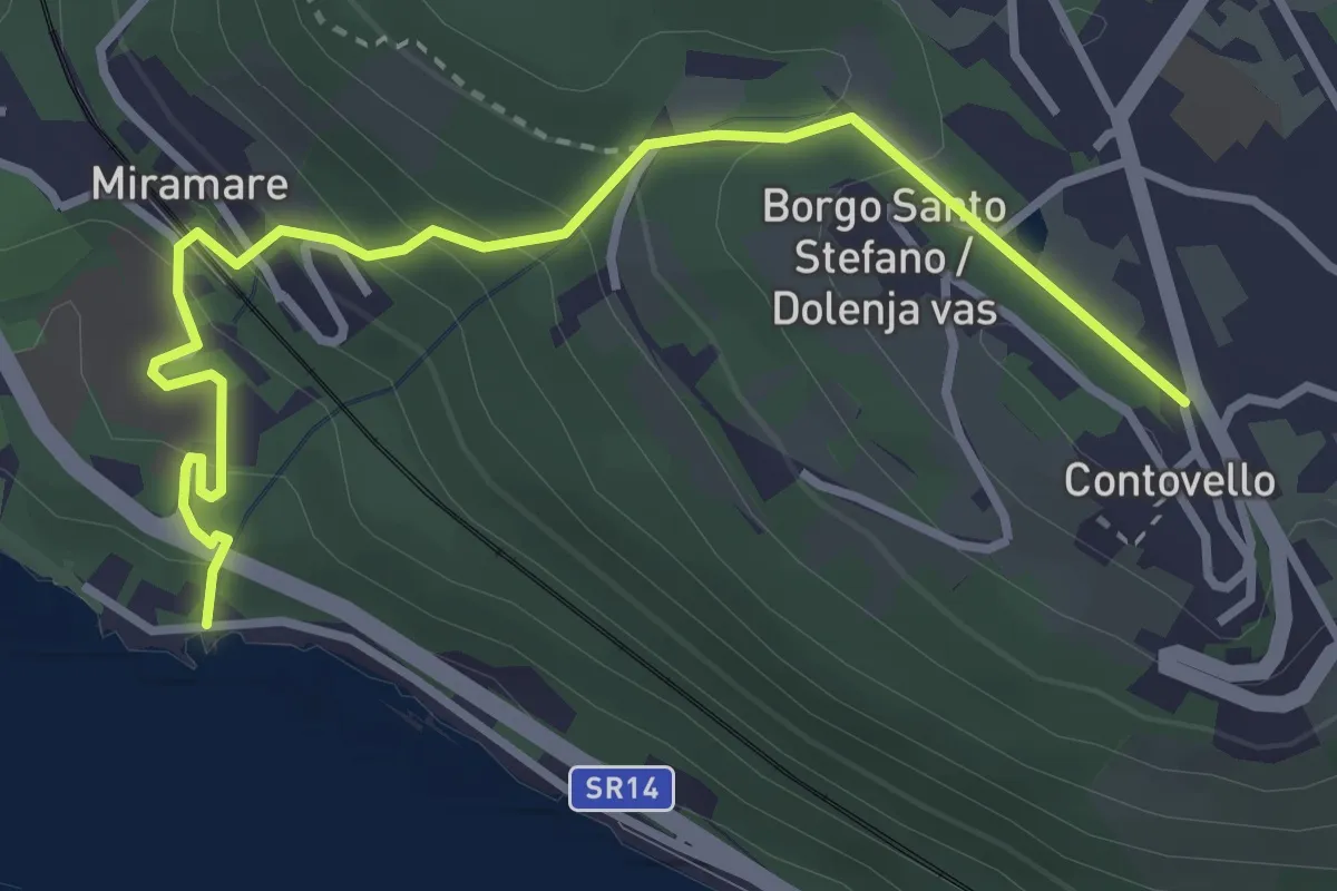
Easy · Trail
Sentiero dei Pescatori / Ribiška pot
3.7 km · ↑ 258 m · 1 h 26 min · 12 km away
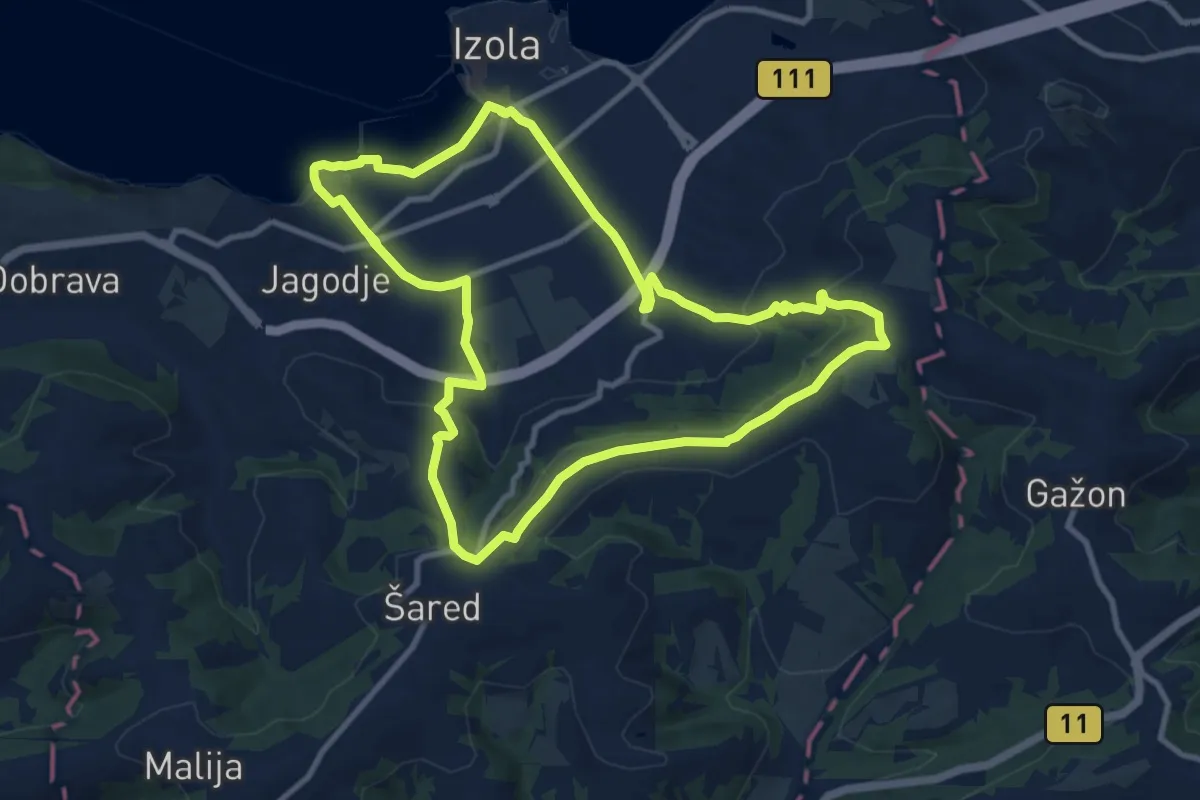
Medium · Trail
P10
10.6 km · ↑ 246 m · 3 h 11 min · 12 km away
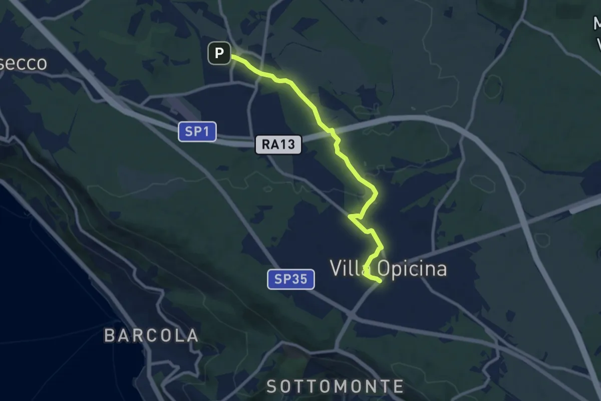
Medium · Trail
Opicina / Opčine – Grotta Gigante / Briška jama
8.1 km · ↑ 60 m · 2 h 3 min · 12 km away
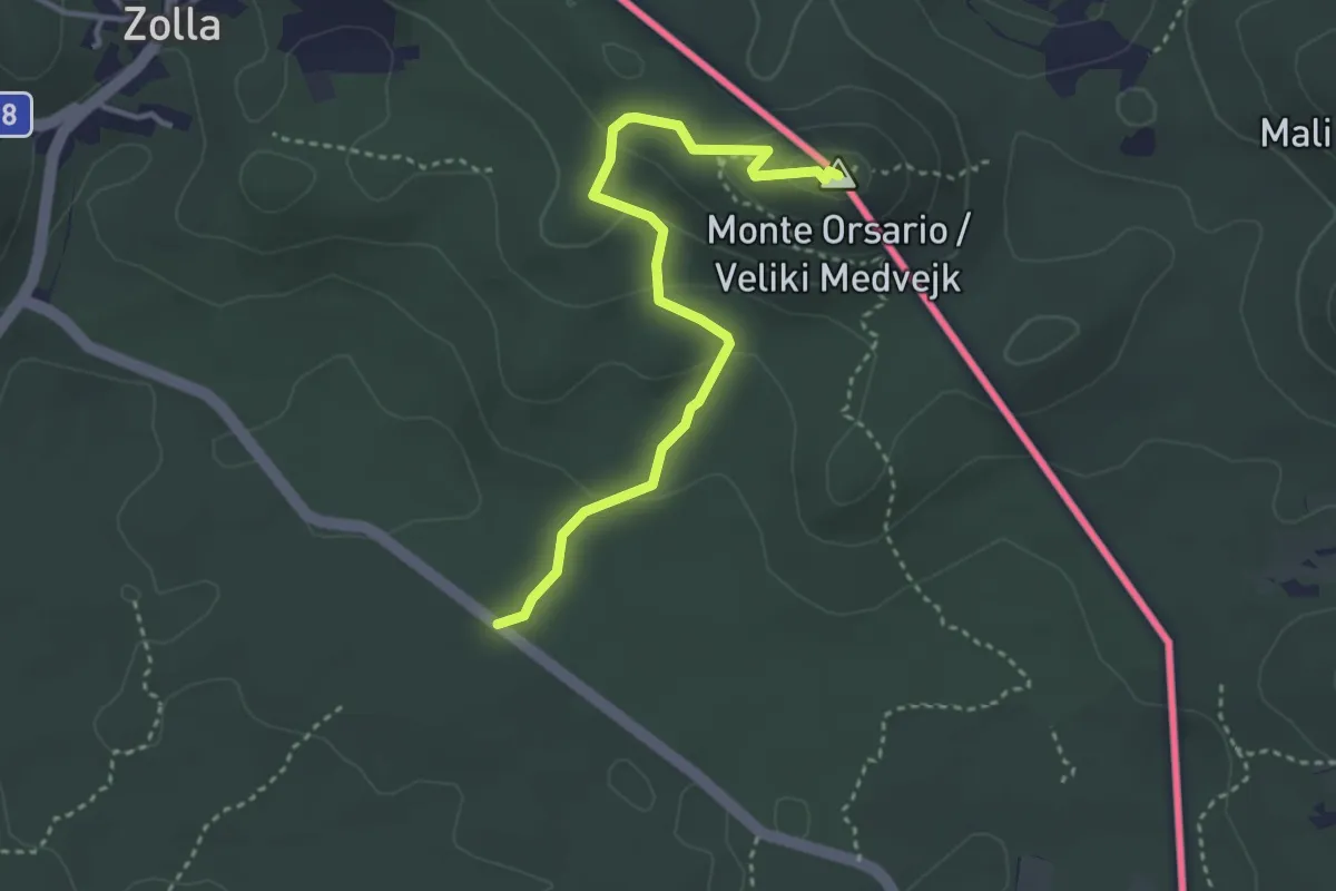
Easy · Summit
SP9 – Monte Orsario / Medvedjak
3.5 km · ↑ 122 m · 1 h 6 min · 13 km away
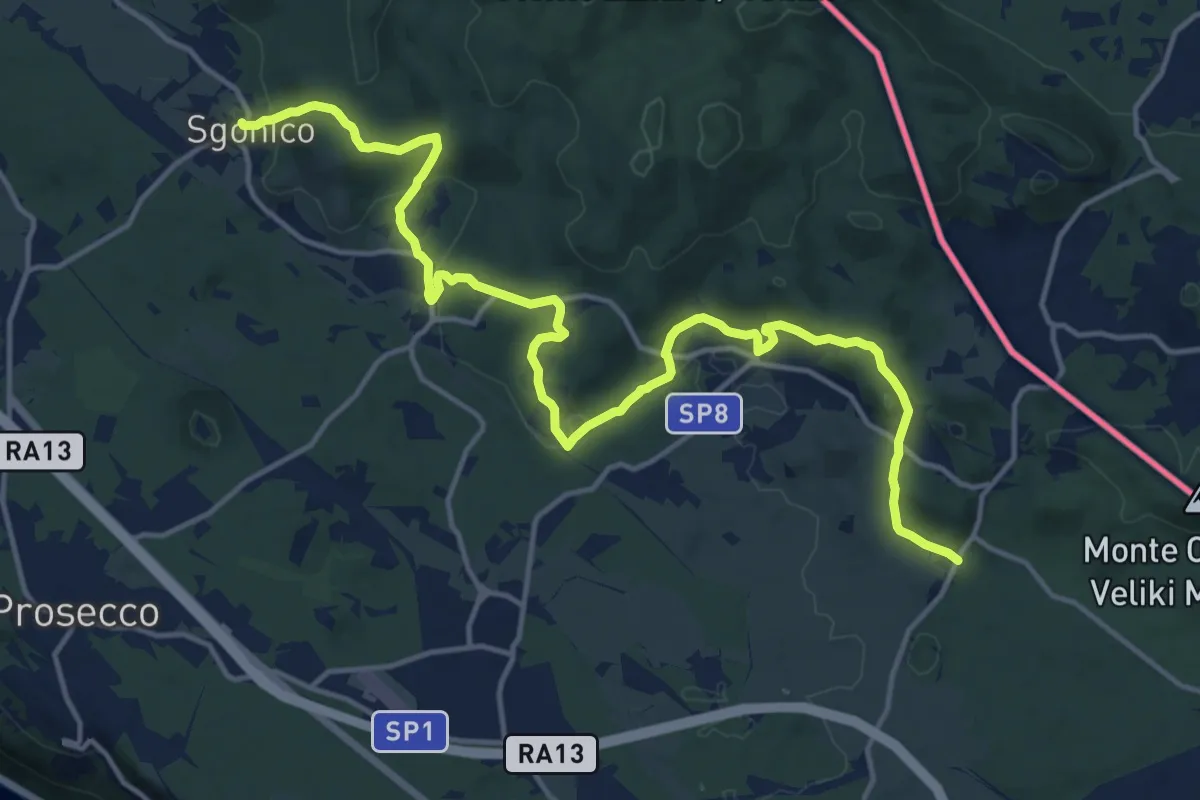
Demanding · Trail
Sgonico (quota 276 m) – Col bivio SP 9 (quota 328 m)
18.5 km · ↑ 446 m · 5 h 20 min · 13 km away
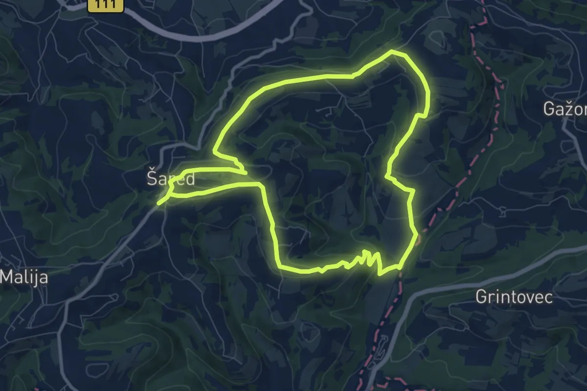
Medium · Trail
P12
8.9 km · ↑ 236 m · 2 h 45 min · 13 km away
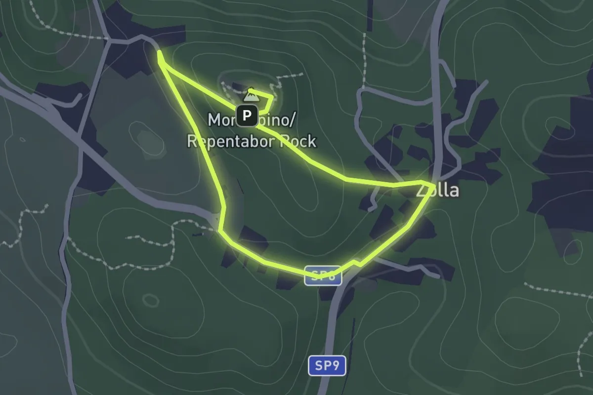
Easy · Summit
Sentiero Tabor / Pešpot Tabor
1.7 km · ↑ 48 m · 32 min · 14 km away
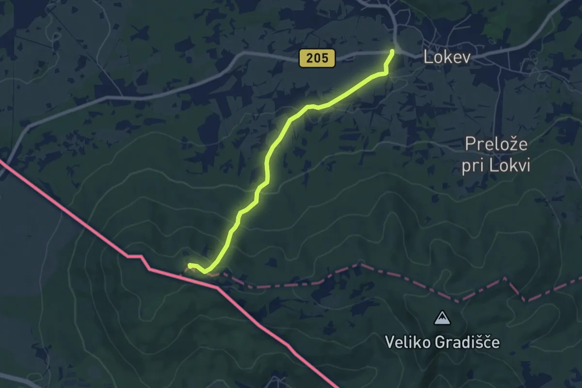
Easy · Summit
Lokev - Kokoš
5.9 km · ↑ 231 m · 1 h 54 min · 14 km away
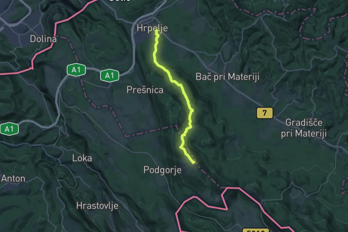
Demanding · Summit
Hrpelje - Slavnik
20.1 km · ↑ 711 m · 6 h 17 min · 14 km away
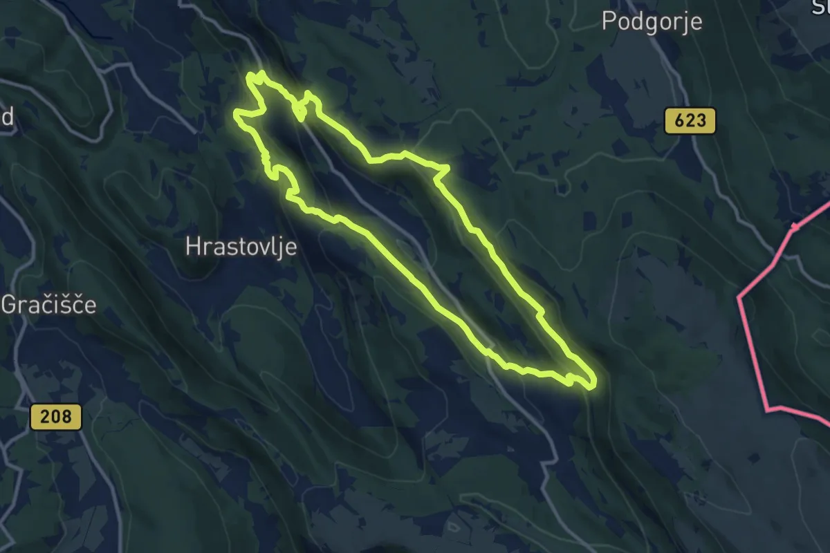
Medium · Summit
P2
11.5 km · ↑ 477 m · 3 h 54 min · 14 km away
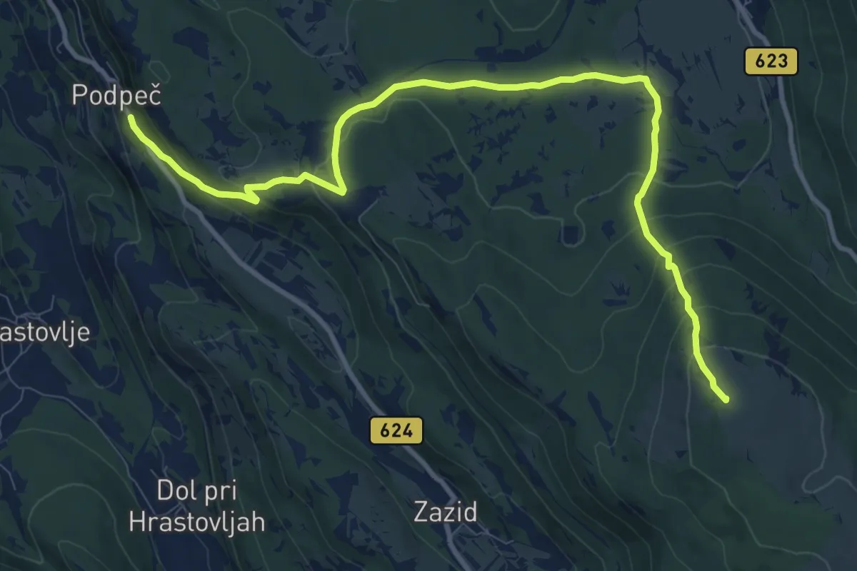
Medium · Summit
Podpeč - Runa - Kojnik
11.7 km · ↑ 551 m · 3 h 58 min · 14 km away
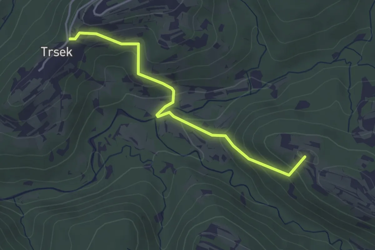
Easy · Summit
Pot za srce
3.8 km · ↑ 216 m · 1 h 22 min · 14 km away
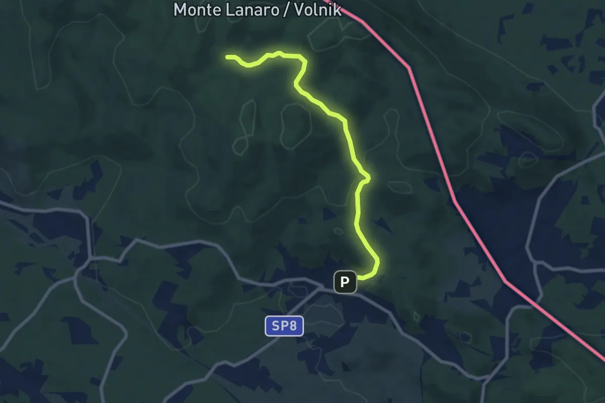
Easy · Trail
Repen – Bivio sentiero n. 5 (zona Peč)
6.7 km · ↑ 223 m · 2 h 4 min · 14 km away
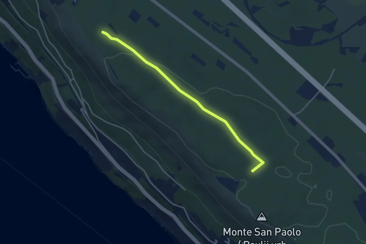
Easy · Trail
Santa Croce / Križ - Bivio sentiero n. 001 (quota 227 m) – Bosco Fornace - bivio sentiero n. 001 (quota 249 m)
3.3 km · ↑ 18 m · 49 min · 14 km away
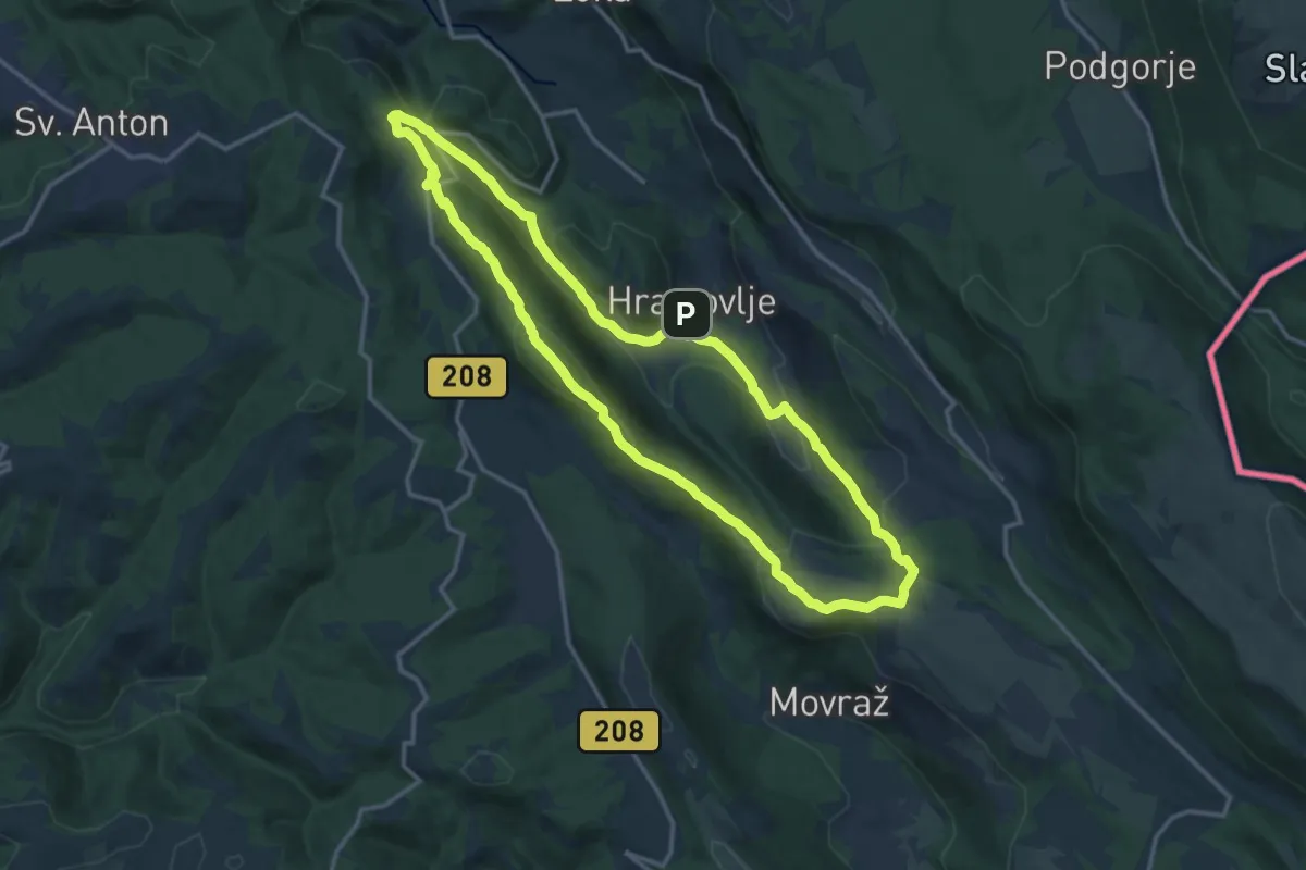
Medium · Summit
P4
14.8 km · ↑ 510 m · 4 h 48 min · 14 km away
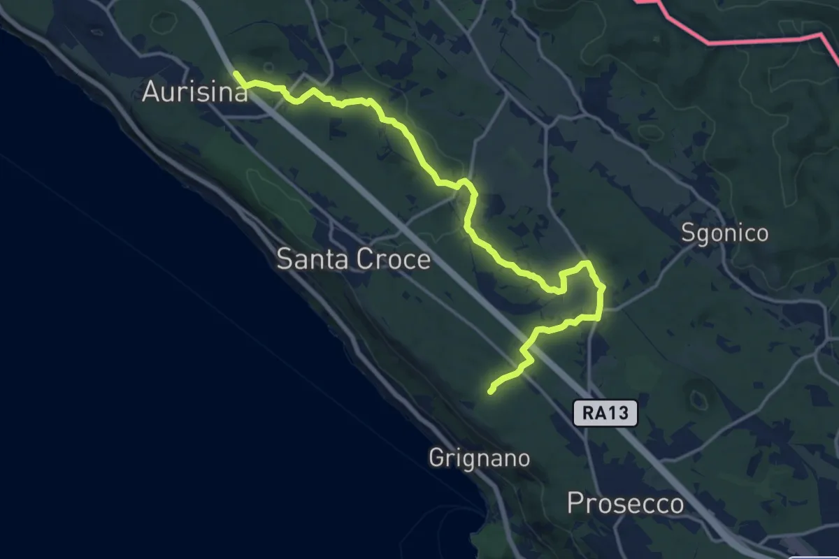
Medium · Trail
Bosco S. Primo - Bivio sentiero n. 006 (quota 245 m) – Aurisina / Nabrežina – Bivio sentiero n. 032 (quota 128 m)
16.9 km · ↑ 168 m · 4 h 21 min · 14 km away
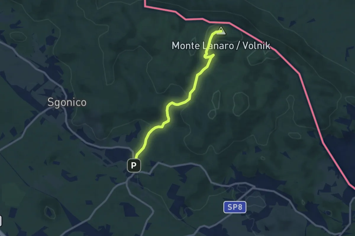
Easy · Summit
Rupinpiccolo / Repnič – Bivio sentiero n. 3
6.8 km · ↑ 244 m · 2 h 8 min · 14 km away
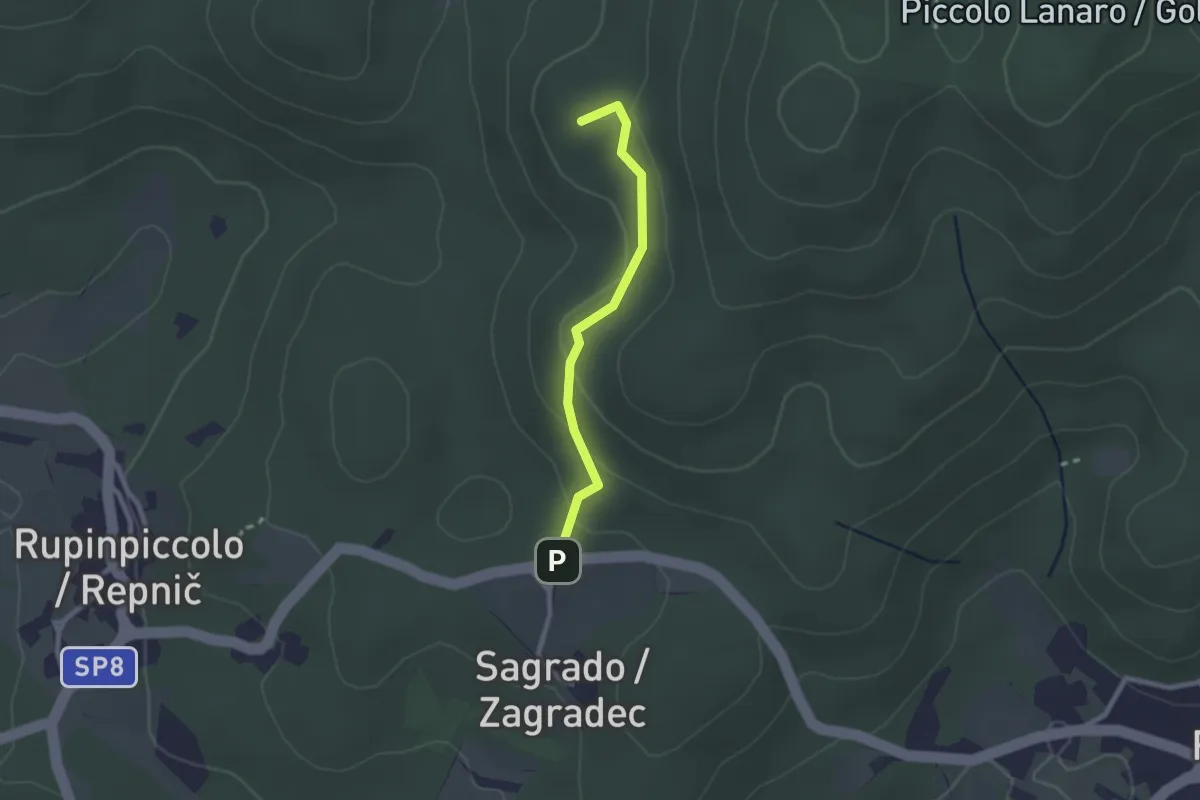
Easy · Summit
ex Sentiero CAI n. 5A
2.1 km · ↑ 71 m · 39 min · 14 km away
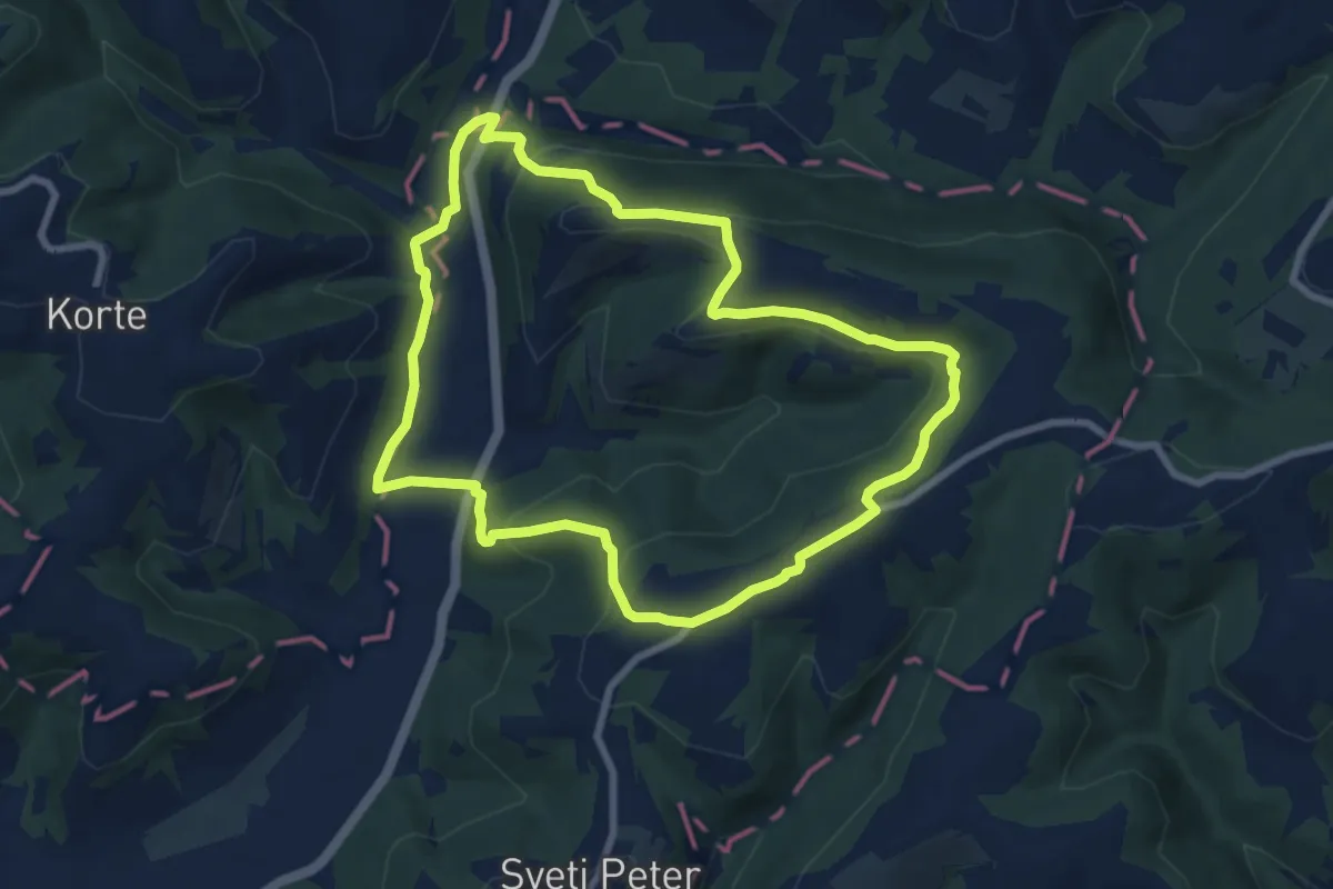
Medium · Trail
Boškarinova pot okoli Padne
8.1 km · ↑ 288 m · 2 h 39 min · 14 km away
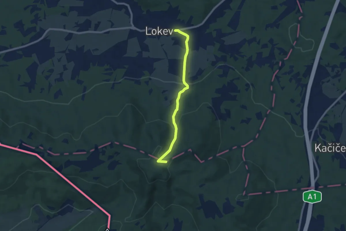
Easy · Summit
Lokev - Prelože - Kokoš
5.3 km · ↑ 258 m · 1 h 49 min · 14 km away
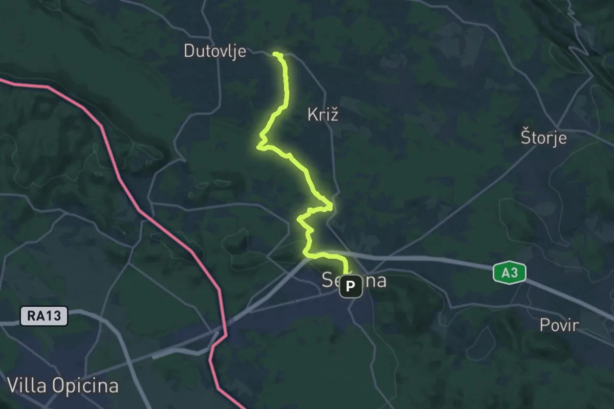
Medium · Trail
Kosovelova pot
17.4 km · ↑ 320 m · 4 h 48 min · 14 km away
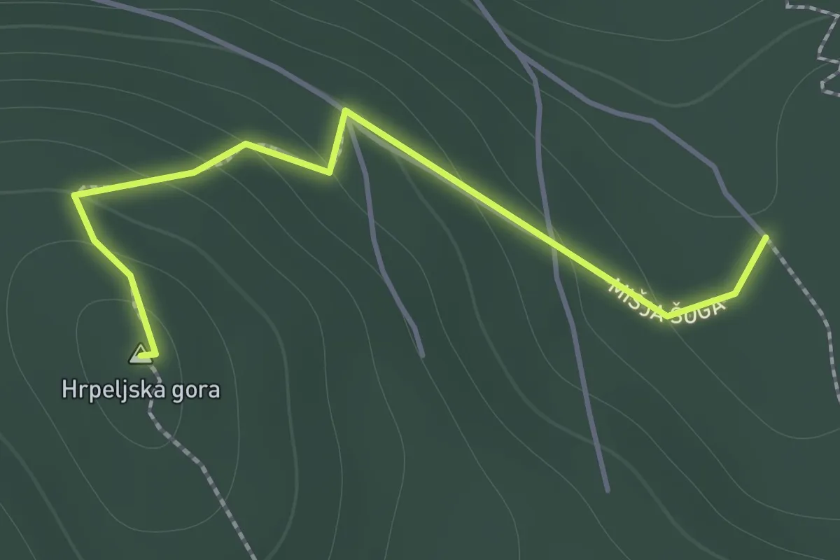
Medium · Summit
Pot čez Hrpeljsko goro
1.5 km · ↑ 97 m · 34 min · 14 km away
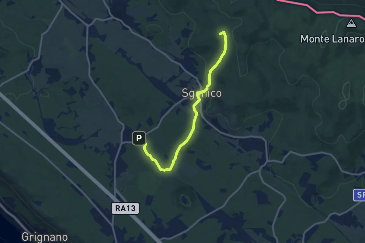
Easy · Summit
Riselce (tratto)
7.7 km · ↑ 151 m · 2 h 9 min · 15 km away
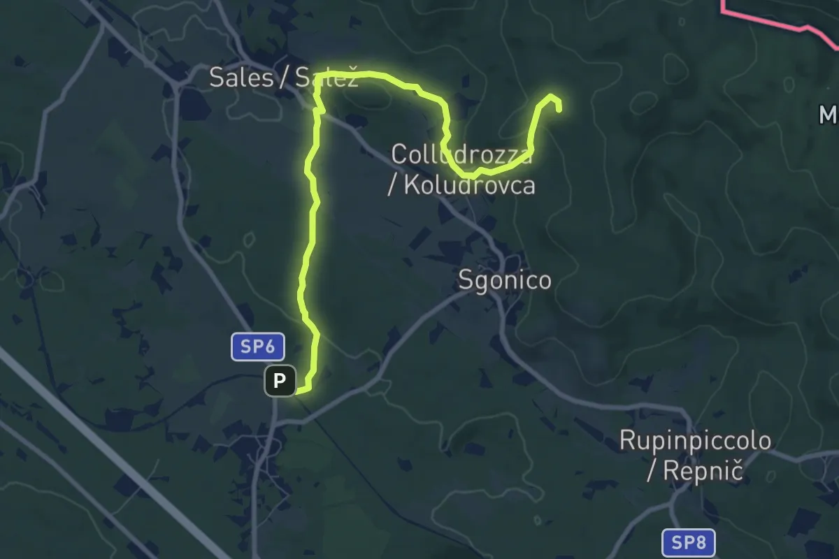
Medium · Summit
Sentiero natura
9.1 km · ↑ 158 m · 2 h 30 min · 15 km away