Trails near Nave
265 hikes starting within 15 km, nearest first.
Nearest first, page 1 of 6
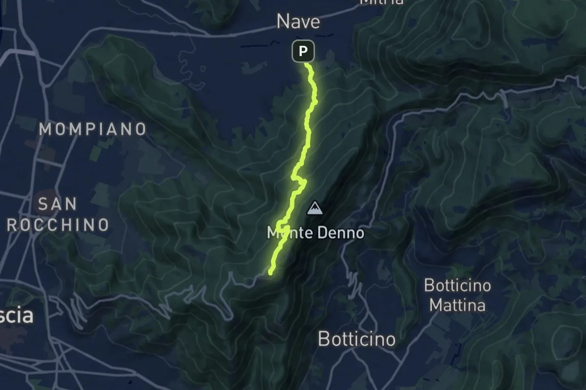
Medium · Trail
Nave (Via Piedimonte) – Chiesetta Monte Maddalena
10.1 km · ↑ 665 m · 3 h 49 min · 1 km away
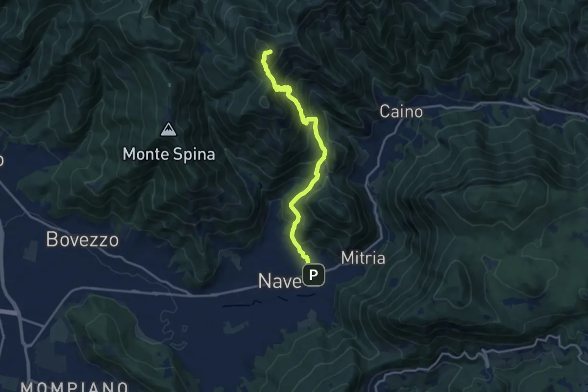
Demanding · Summit
Sentiero 3V - Tappa 1b
11.1 km · ↑ 932 m · 4 h 39 min · 1 km away
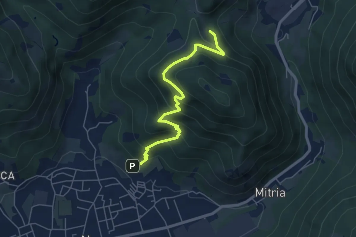
Medium · Trail
Sentiero delle miniere
4.9 km · ↑ 425 m · 2 h 5 min · 1 km away
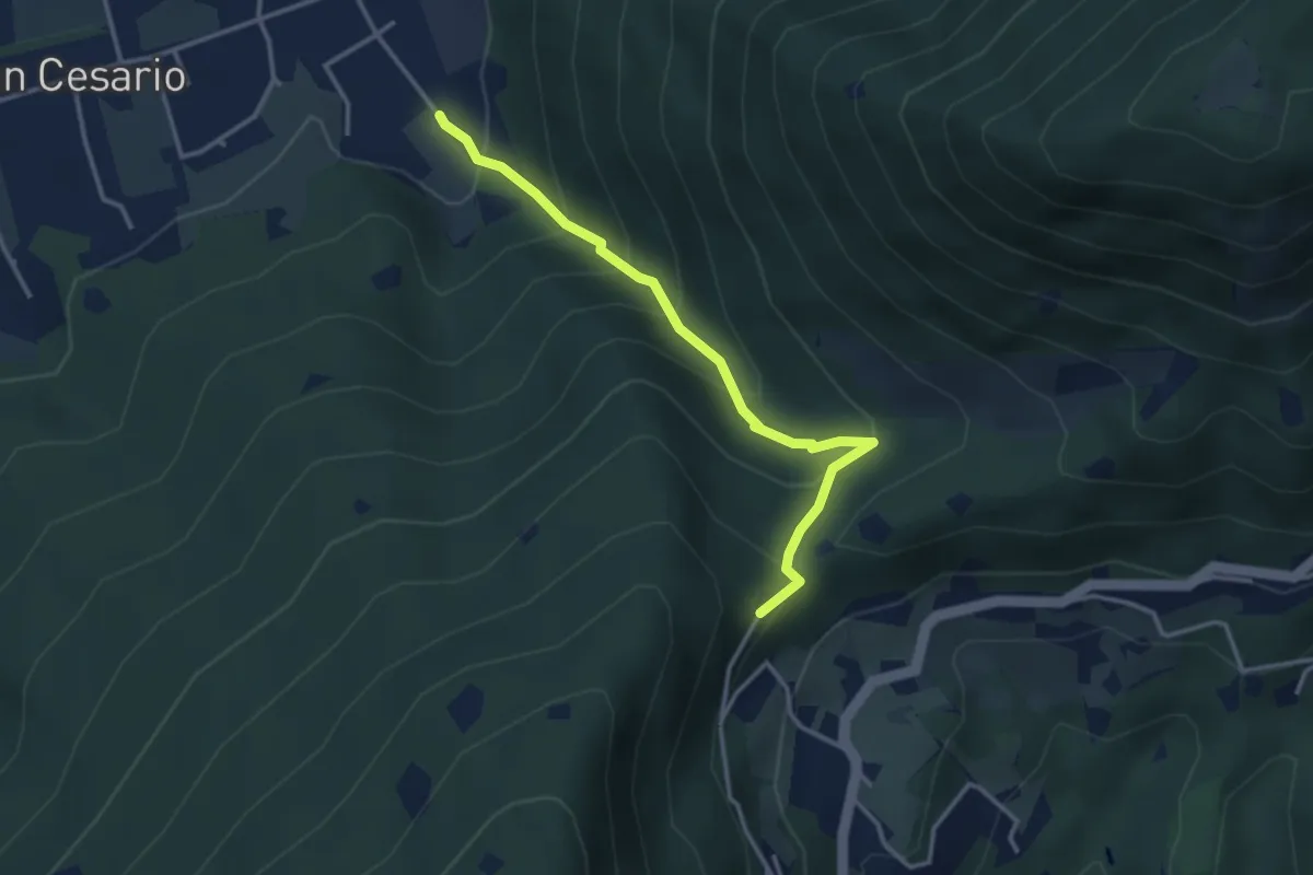
Demanding · Summit
Nave (Calasa) – Colle San Vito
3.4 km · ↑ 343 m · 1 h 32 min · 1 km away
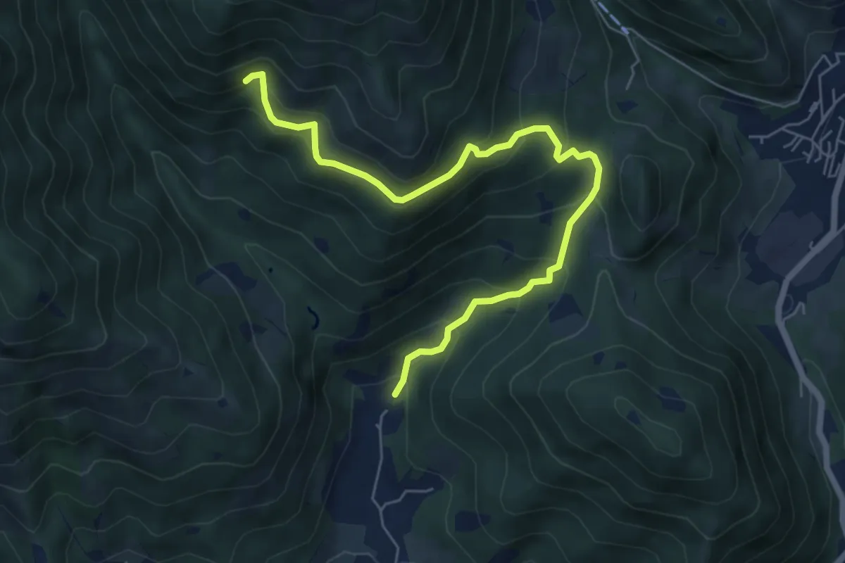
Medium · Trail
Nave (Piezze) - Sant'Antonio - Innesto Sentiero 354
6.7 km · ↑ 527 m · 2 h 44 min · 1 km away
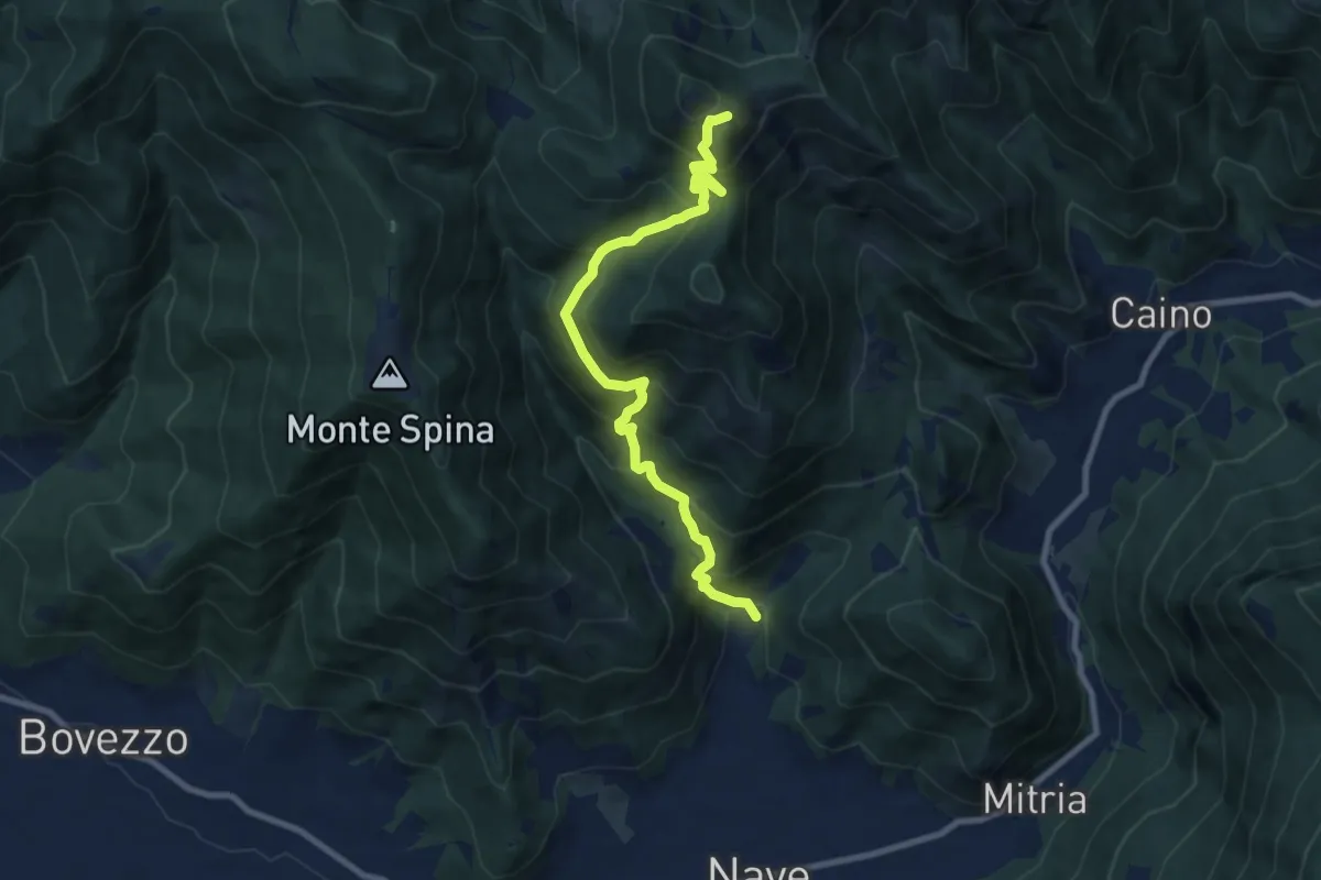
Demanding · Summit
Nave (Piezze) - Santuario di Conche
9.1 km · ↑ 901 m · 4 h 6 min · 1 km away
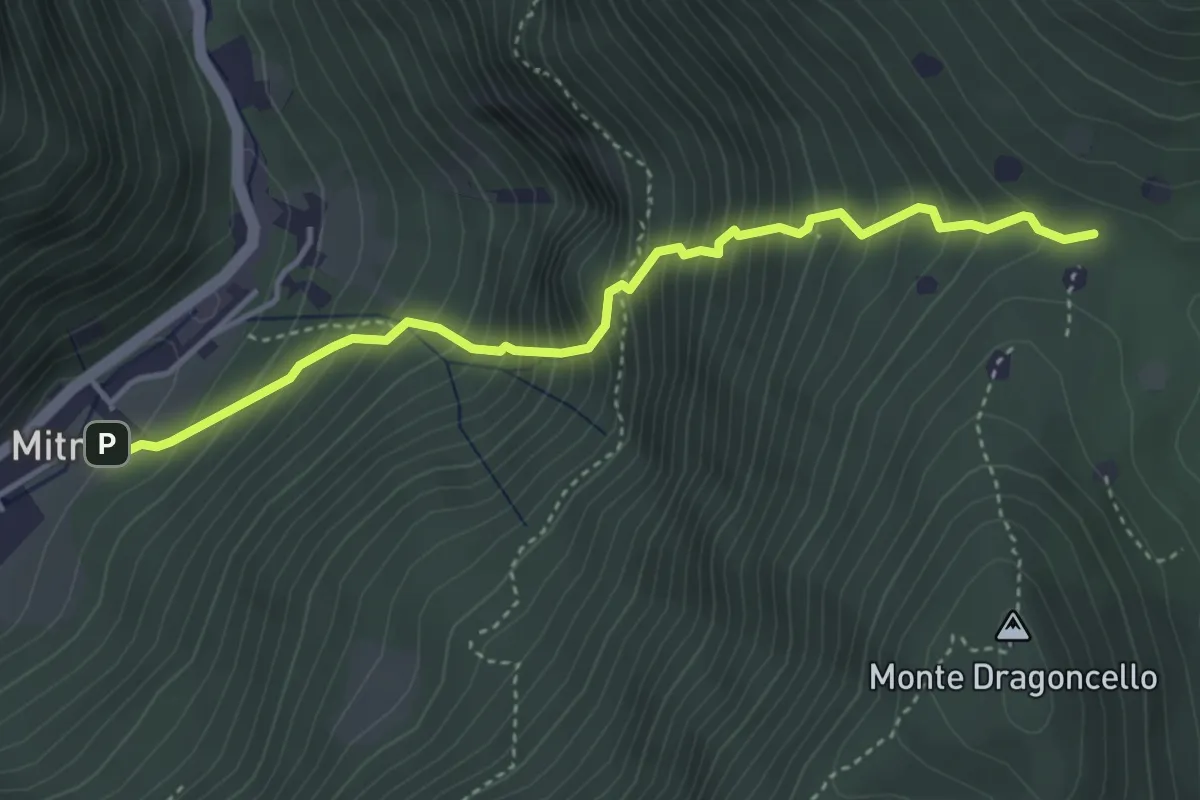
Demanding · Trail
Sentiero della dieta
4.1 km · ↑ 675 m · 2 h 26 min · 2 km away
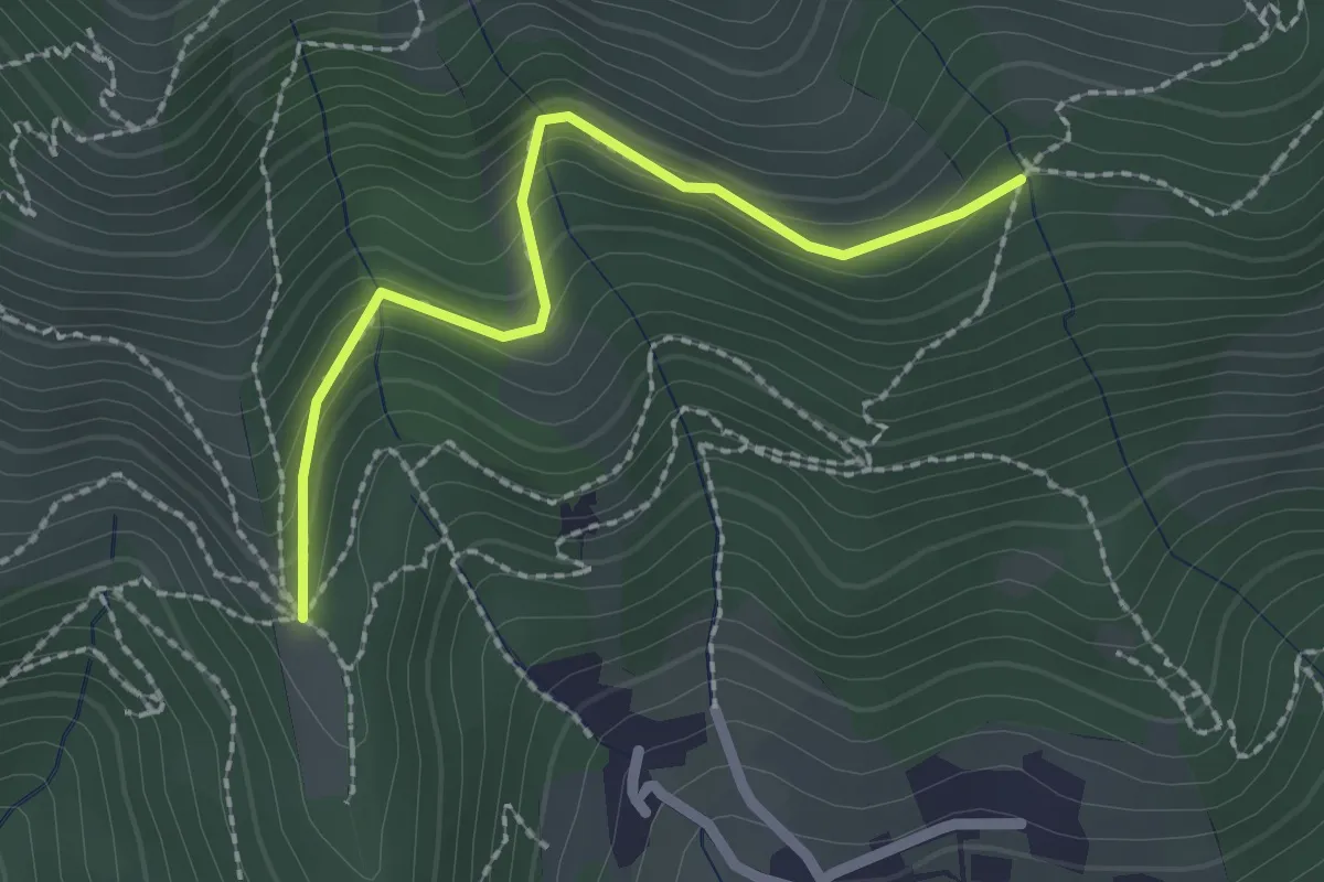
Easy · Trail
Nave (Cascina Mezzana) - Pozza Cà del Lì (Innesto Sentiero 392)
2.1 km · ↑ 177 m · 53 min · 2 km away
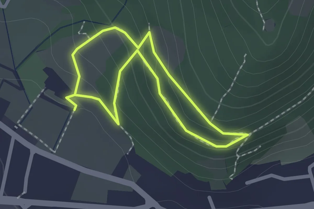
Easy · Trail
Sentiero Zanardelli percorso alto
1.5 km · ↑ 68 m · 32 min · 2 km away
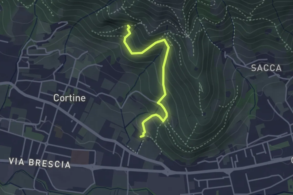
Easy · Trail
Sentiero del Marrone (Variante Nave)
3.1 km · ↑ 314 m · 1 h 25 min · 2 km away
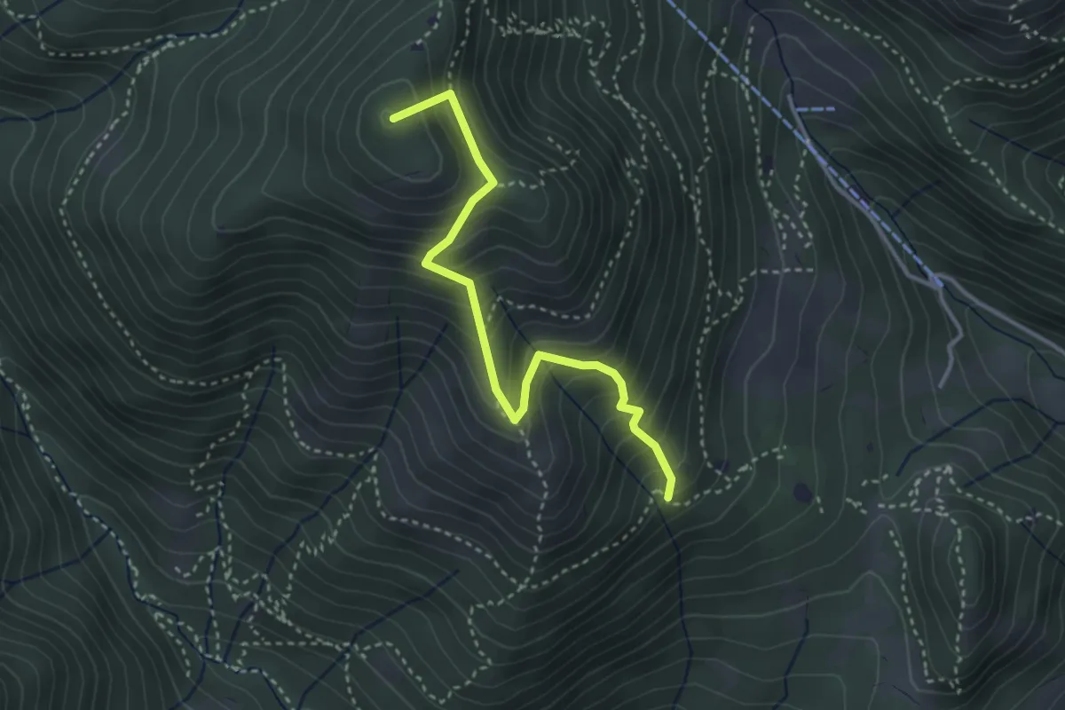
Medium · Summit
Sentiero Nunzio Tocchini
3.4 km · ↑ 371 m · 1 h 36 min · 2 km away
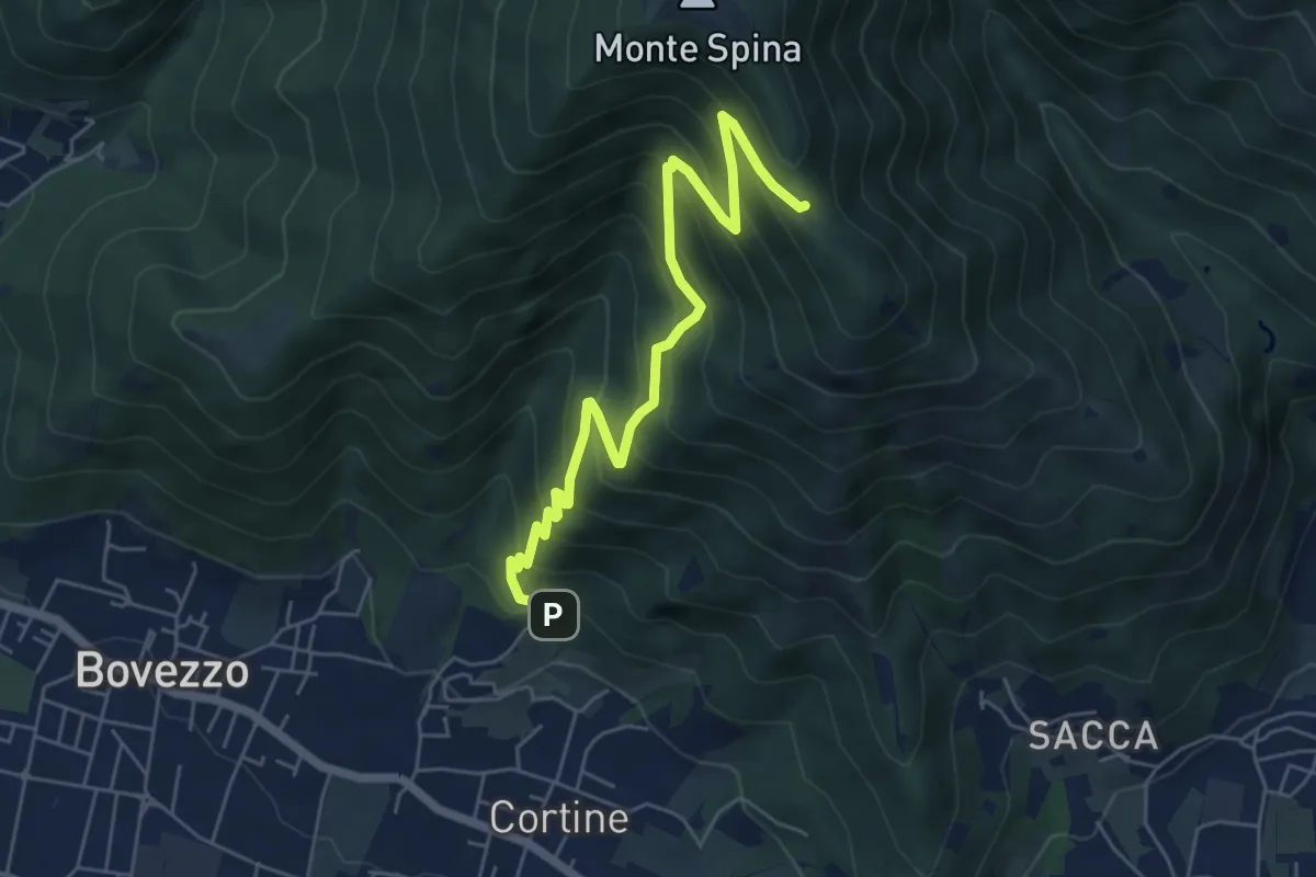
Medium · Cabin
Nave (Cortine - Albergo dei Poveri) – Roccolo Squassina
6.2 km · ↑ 586 m · 2 h 45 min · 3 km away
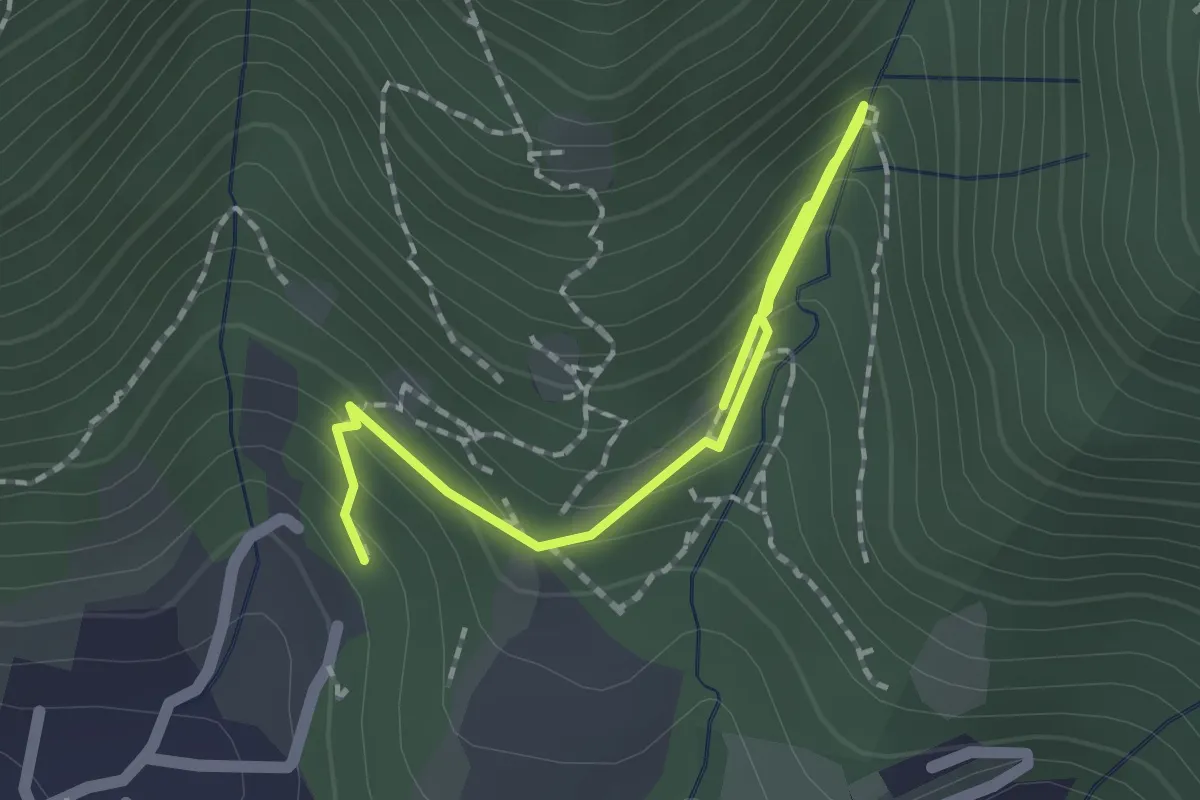
Medium · Trail
Percorso botanico
2.7 km · ↑ 231 m · 1 h 9 min · 3 km away
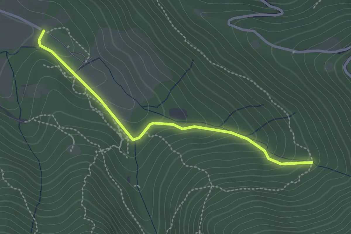
Easy · Trail
Sentiero Val Persane
2.6 km · ↑ 152 m · 57 min · 3 km away
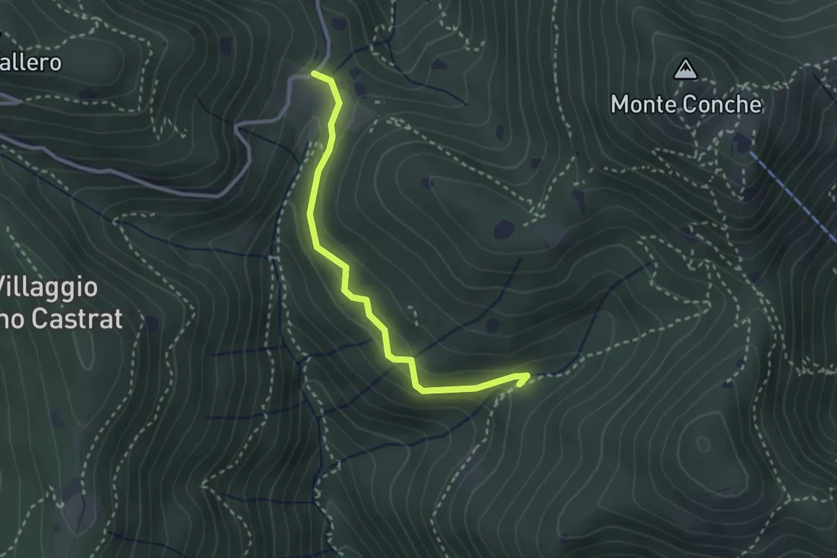
Medium · Trail
Nave (Valle delle Monache) - Cascina Cocca
2.7 km · ↑ 112 m · 53 min · 3 km away
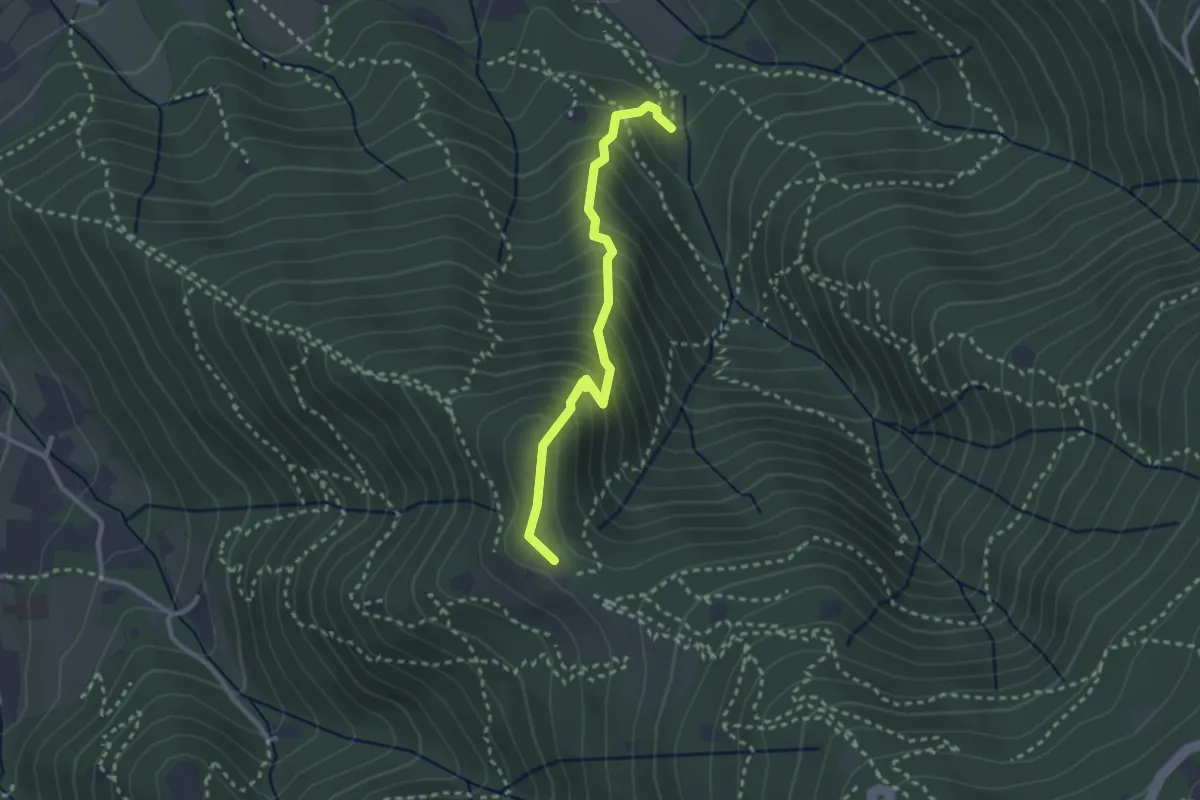
Medium · Trail
Sentiero dei Gnari
2.7 km · ↑ 330 m · 1 h 21 min · 3 km away
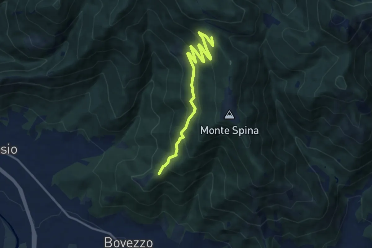
Medium · Trail
Bovezzo (Santella delle Pentere) – Strada del Sant'Onofrio
8.5 km · ↑ 469 m · 3 h 1 min · 3 km away
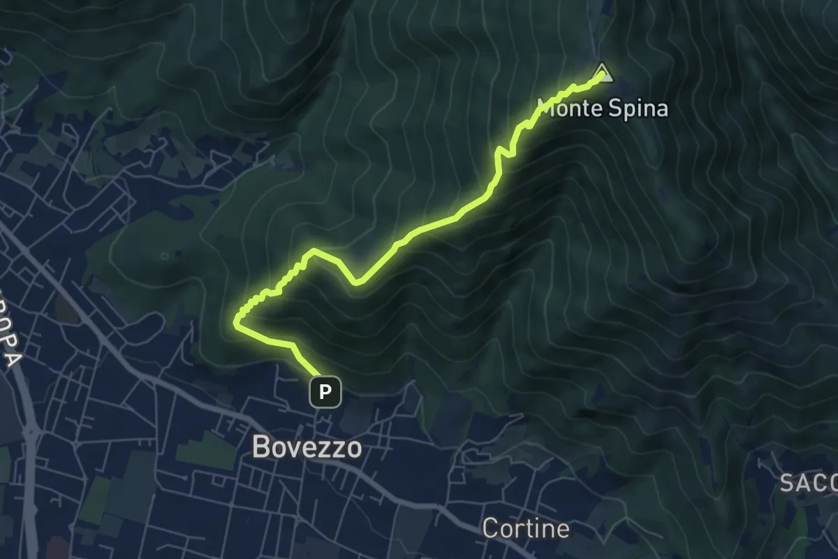
Medium · Summit
Bovezzo (Via Castello) – Sant'Onofrio
6.9 km · ↑ 705 m · 3 h 10 min · 3 km away
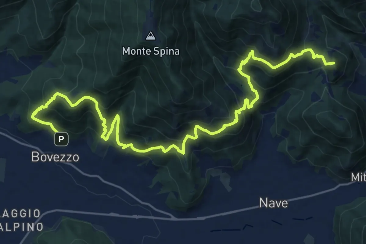
Demanding · Summit
Sentiero del Marrone
20.2 km · ↑ 1796 m · 8 h 40 min · 3 km away
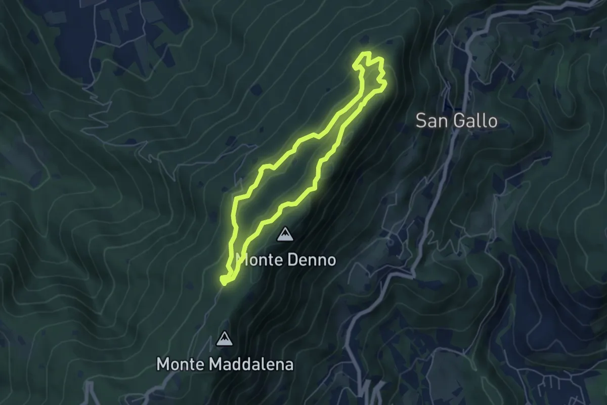
Medium · Summit
Sentiero Brigata Fiamme Verdi Dieci Giornate
5.0 km · ↑ 254 m · 1 h 48 min · 4 km away
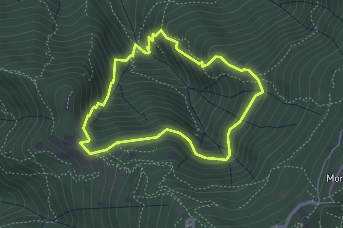
Medium · Cabin
Anello dei Brüsàcc
3.5 km · ↑ 335 m · 1 h 36 min · 4 km away
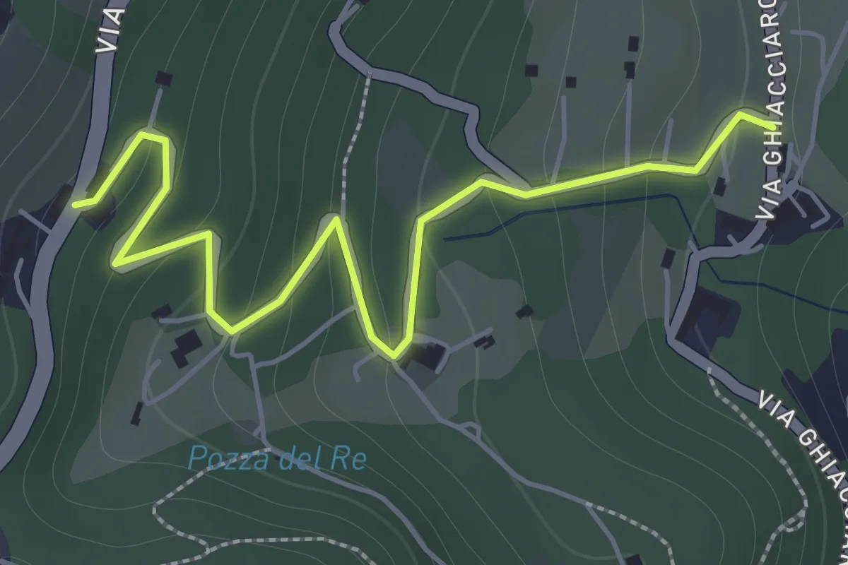
Easy · Trail
La Via del marmo - Botticino (San Gallo)
2.0 km · ↑ 147 m · 48 min · 4 km away
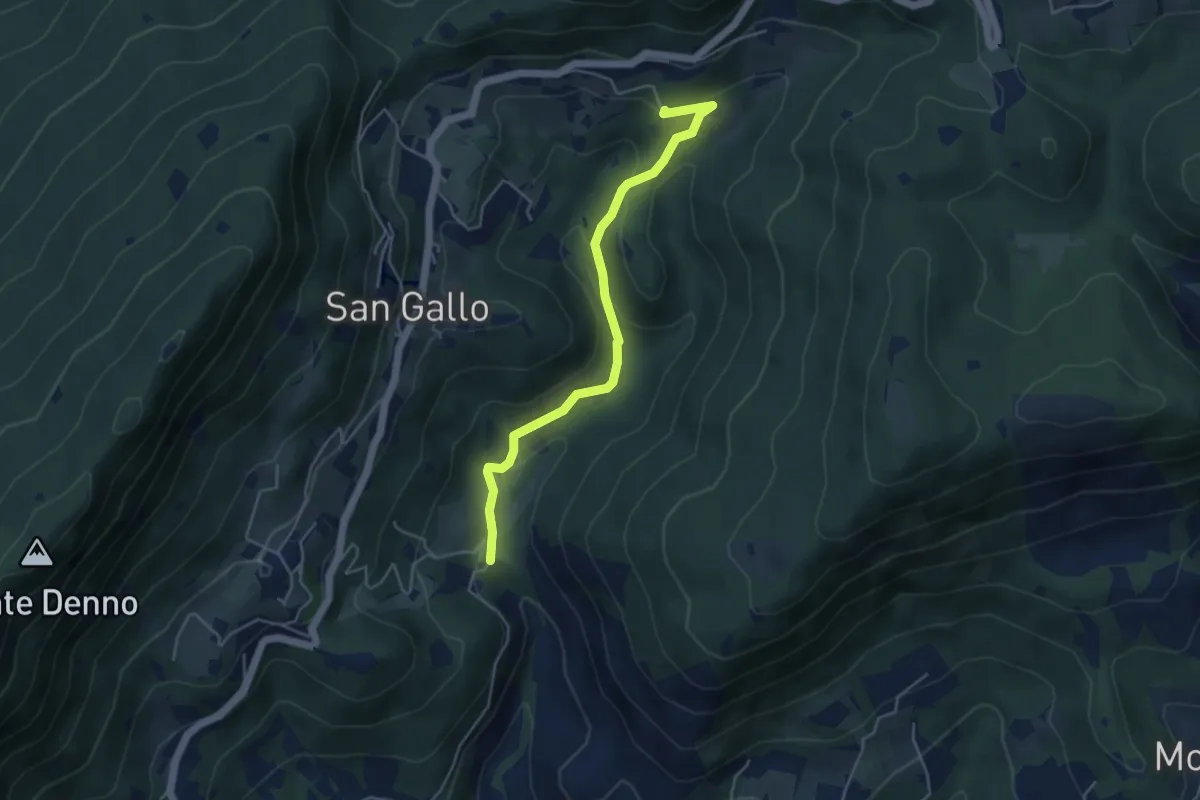
Medium · Summit
La Via del marmo - Botticino (Molino dell'Ora- Castello di Serle)
4.5 km · ↑ 178 m · 1 h 27 min · 4 km away
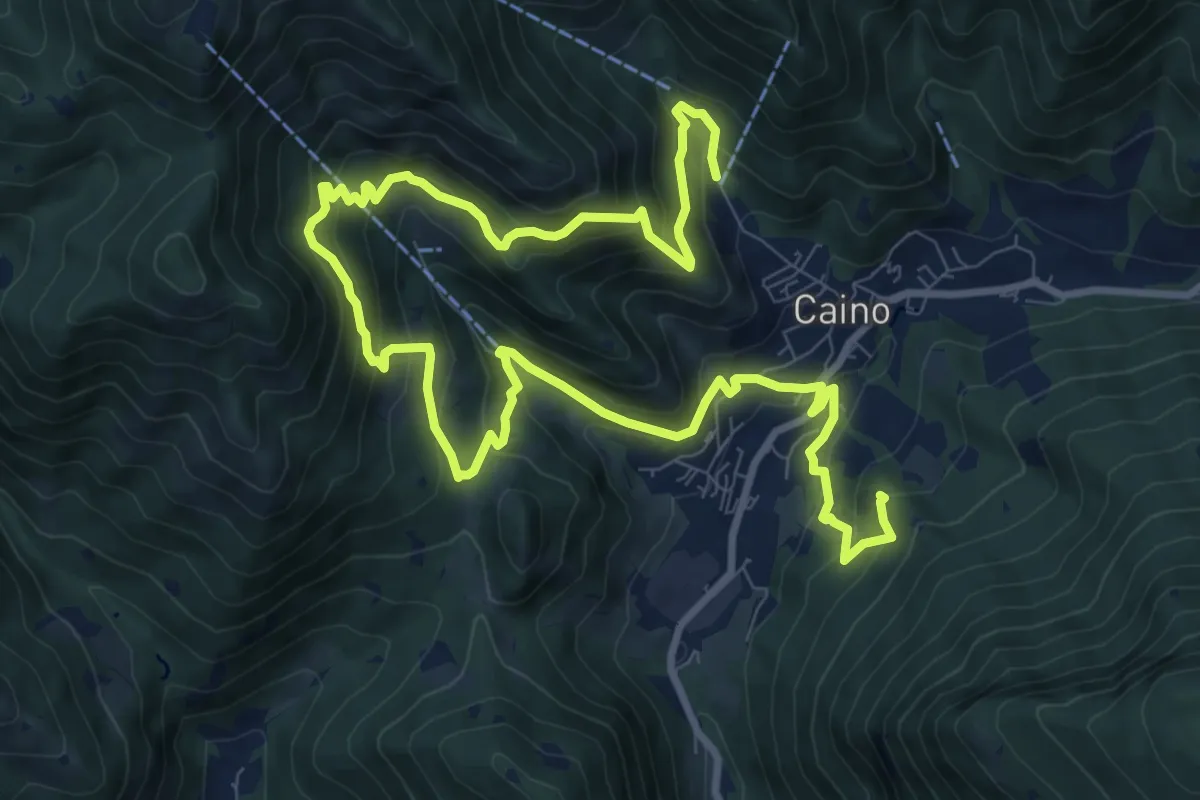
Demanding · Summit
Caino (Pian delle Castagne) – Val Bertone
15.5 km · ↑ 1050 m · 5 h 56 min · 4 km away
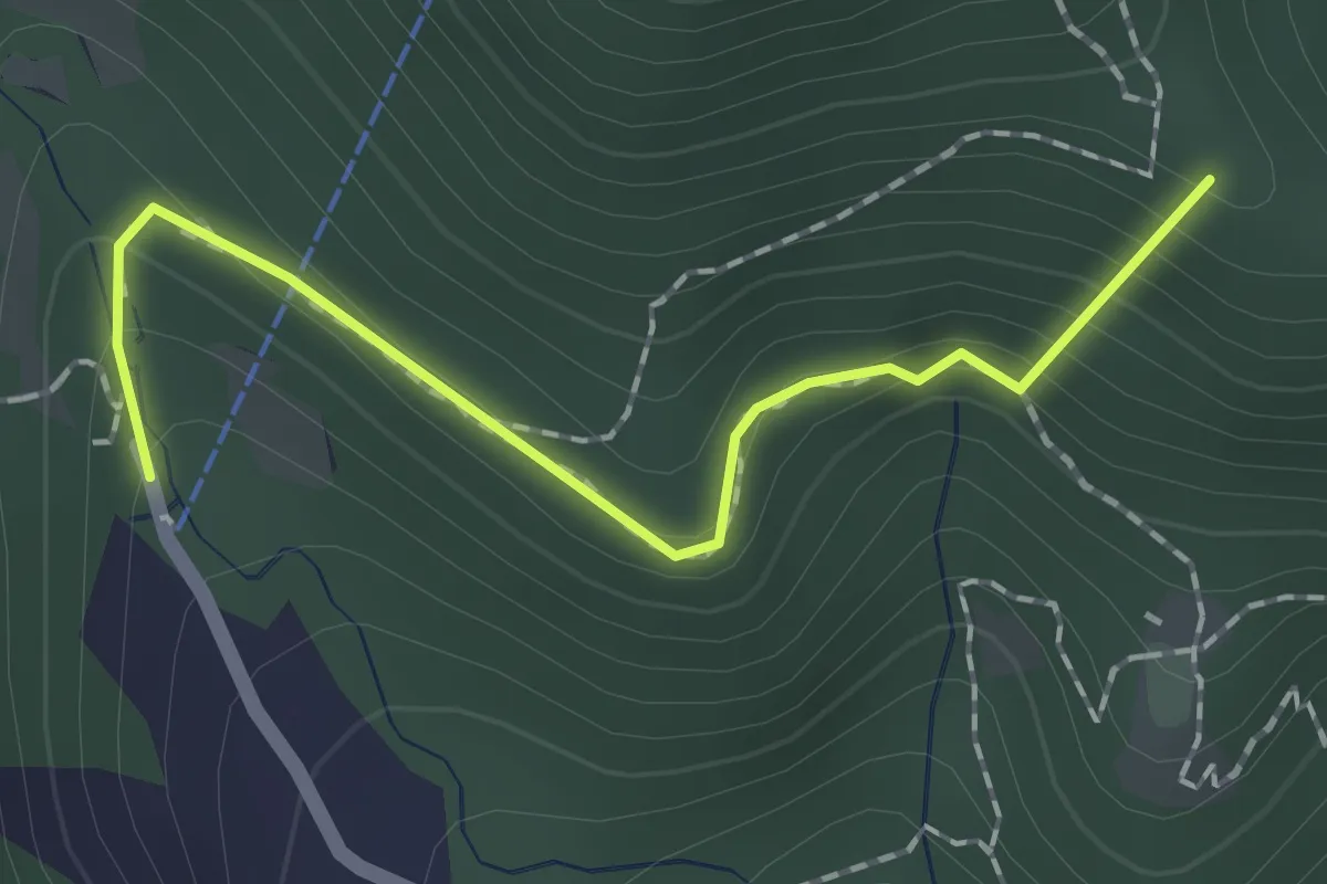
Easy · Summit
Sentiero dei Papi
1.7 km · ↑ 130 m · 42 min · 4 km away
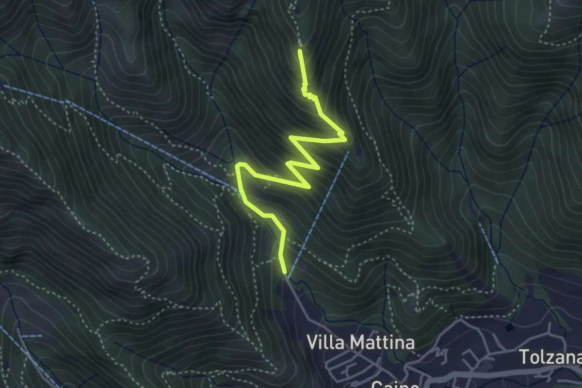
Medium · Summit
Caino (Pian delle Castagne) – Monte Doppo (Innesto Sentiero 381)
4.1 km · ↑ 407 m · 1 h 50 min · 4 km away
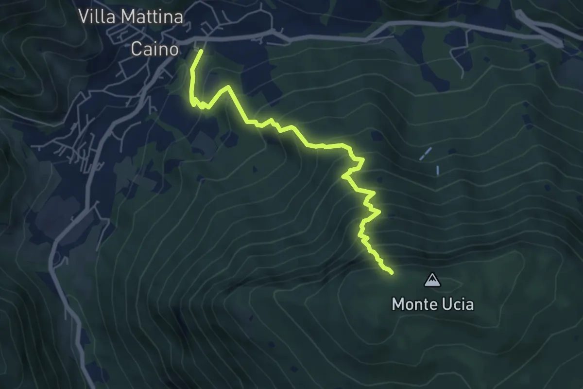
Demanding · Trail
Caino – Monte Ucia (Innesto Sentiero 391)
5.7 km · ↑ 736 m · 2 h 56 min · 4 km away
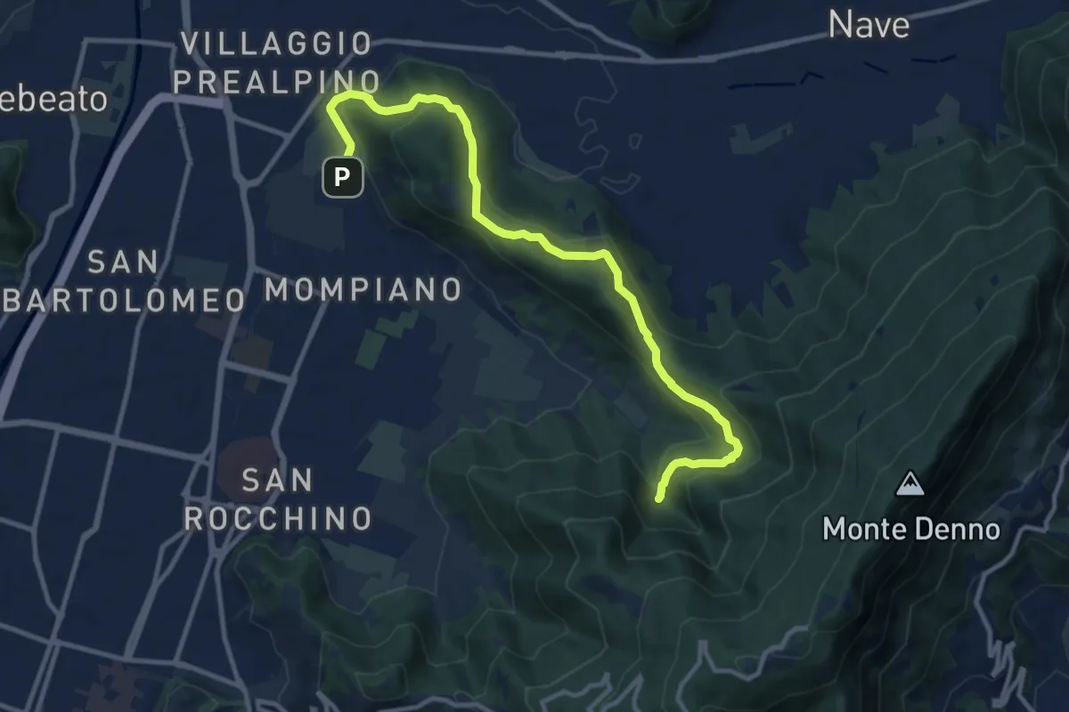
Medium · Cabin
Brescia (Via San Cristoforo) – Rifugio Valle di Mompiano
12.0 km · ↑ 345 m · 3 h 35 min · 4 km away
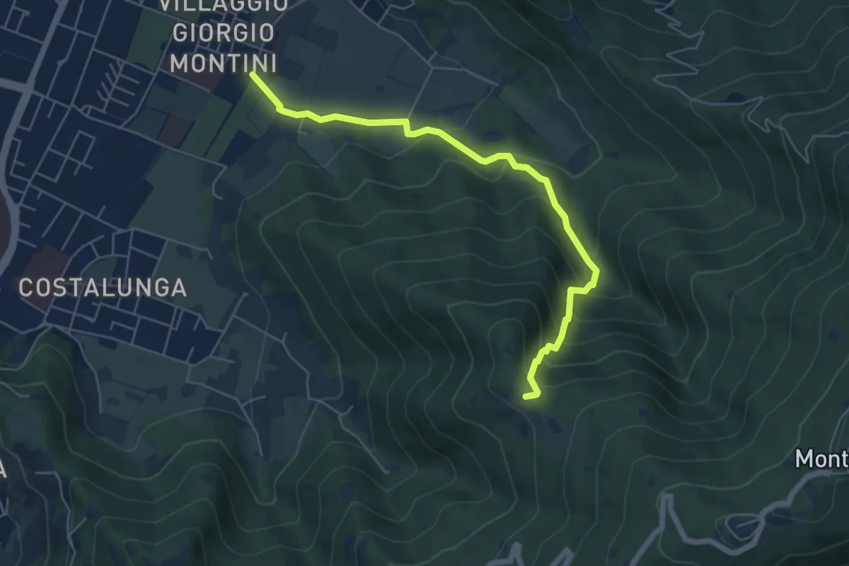
Medium · Trail
Brescia (Mompiano - Via Egidio Dabbeni) – Cascina Margherita
5.8 km · ↑ 398 m · 2 h 14 min · 4 km away
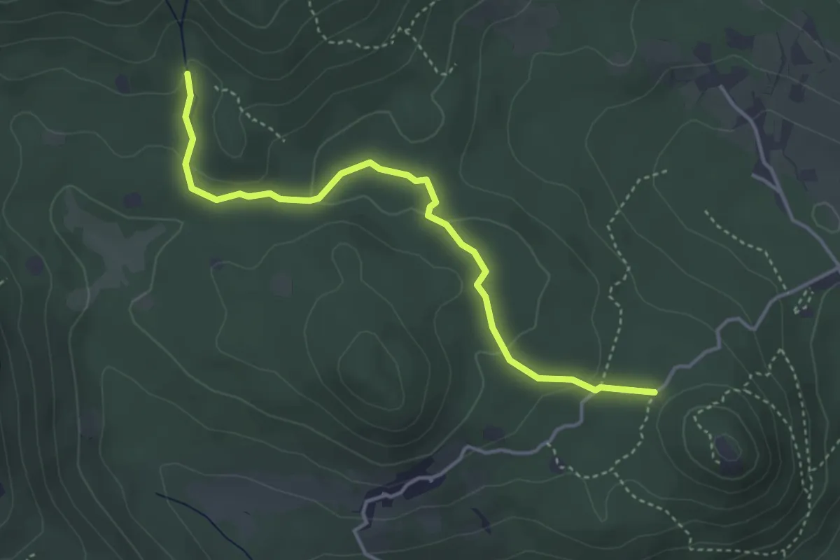
Easy · Trail
Serle (Santuario di San Bartolomeo) - Monte Ucia
4.1 km · ↑ 123 m · 1 h 14 min · 4 km away
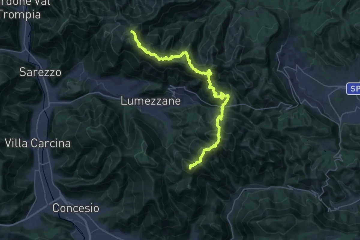
Demanding · Summit
Sentiero 3V - Tappa 2
27.2 km · ↑ 2052 m · 10 h 52 min · 4 km away
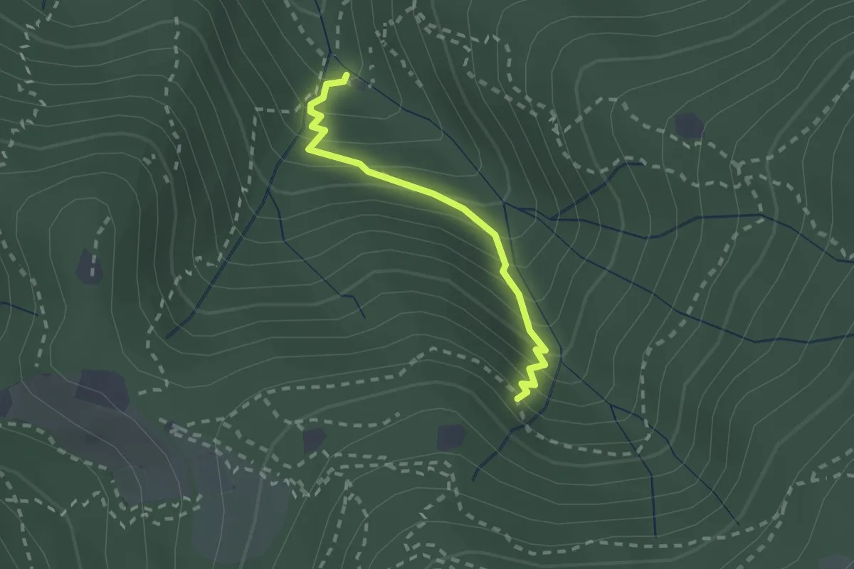
Medium · Cabin
Sentiero di Jago
1.9 km · ↑ 249 m · 59 min · 4 km away
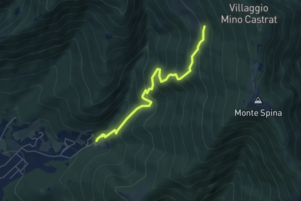
Medium · Trail
Concesio (Roncaglie - Via Sant'Onofrio) – Grassi de le Còle (Innesto Sentiero 390)
4.9 km · ↑ 474 m · 2 h 10 min · 4 km away
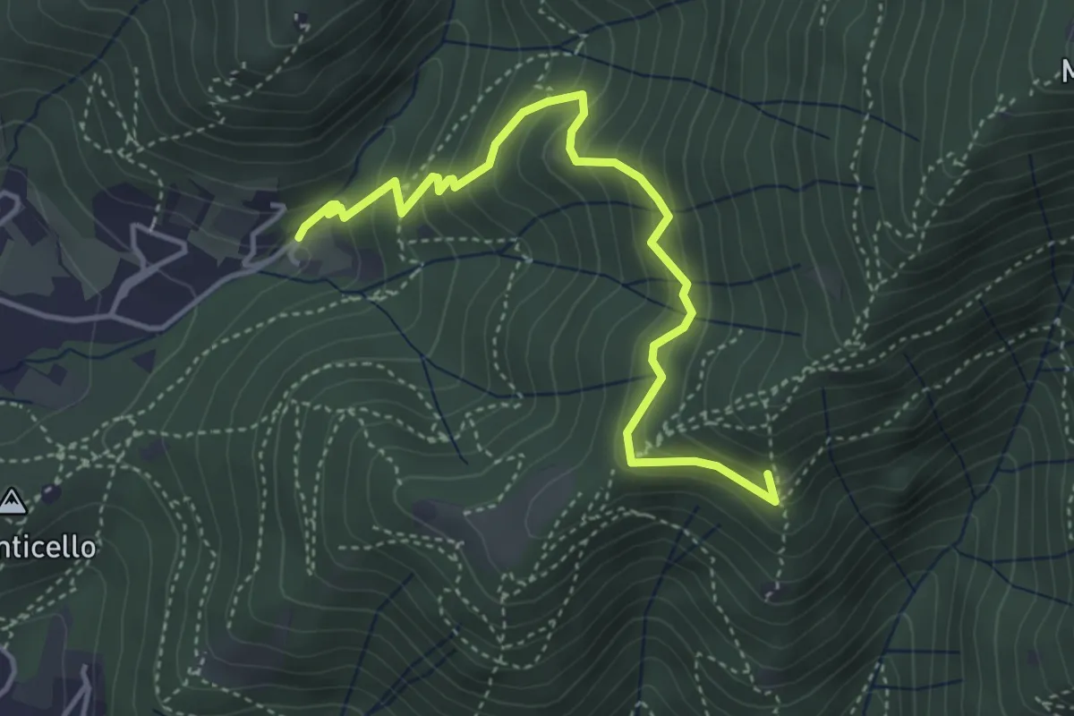
Medium · Summit
Concesio (Roncaglie - Via Sant'Onofrio) – Castagnotta
4.4 km · ↑ 408 m · 1 h 56 min · 4 km away
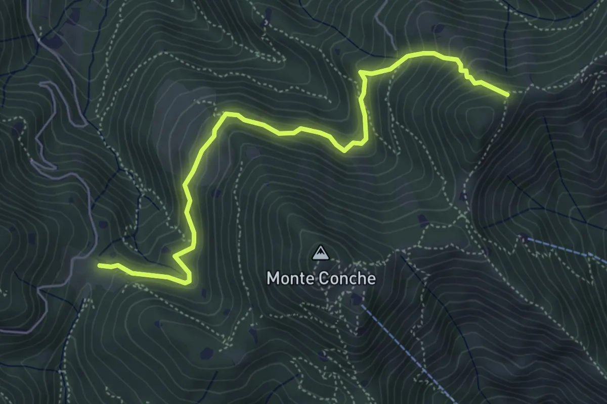
Medium · Trail
Lumezzane (Cascina Cocca) – Forcella di Calone
5.8 km · ↑ 474 m · 2 h 24 min · 4 km away
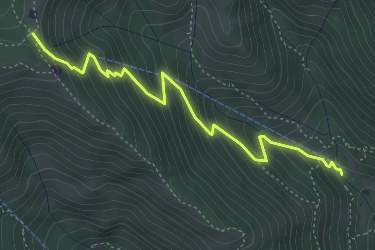
Medium · Trail
Caino (Madonna delle Fontane) – Monte Conche (Innesto Sentiero 381)
4.2 km · ↑ 450 m · 1 h 58 min · 4 km away
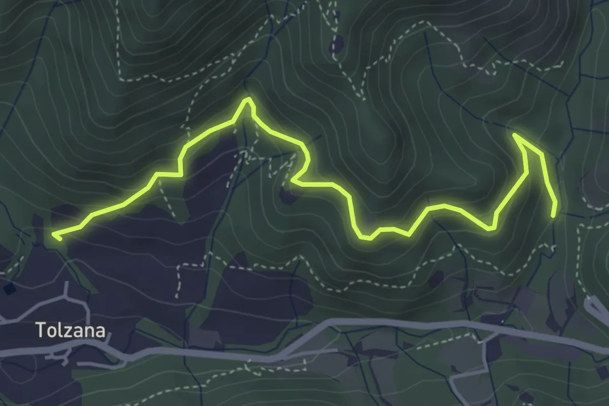
Medium · Trail
Caino (San Cap) – Val Bertone
4.9 km · ↑ 452 m · 2 h 9 min · 4 km away
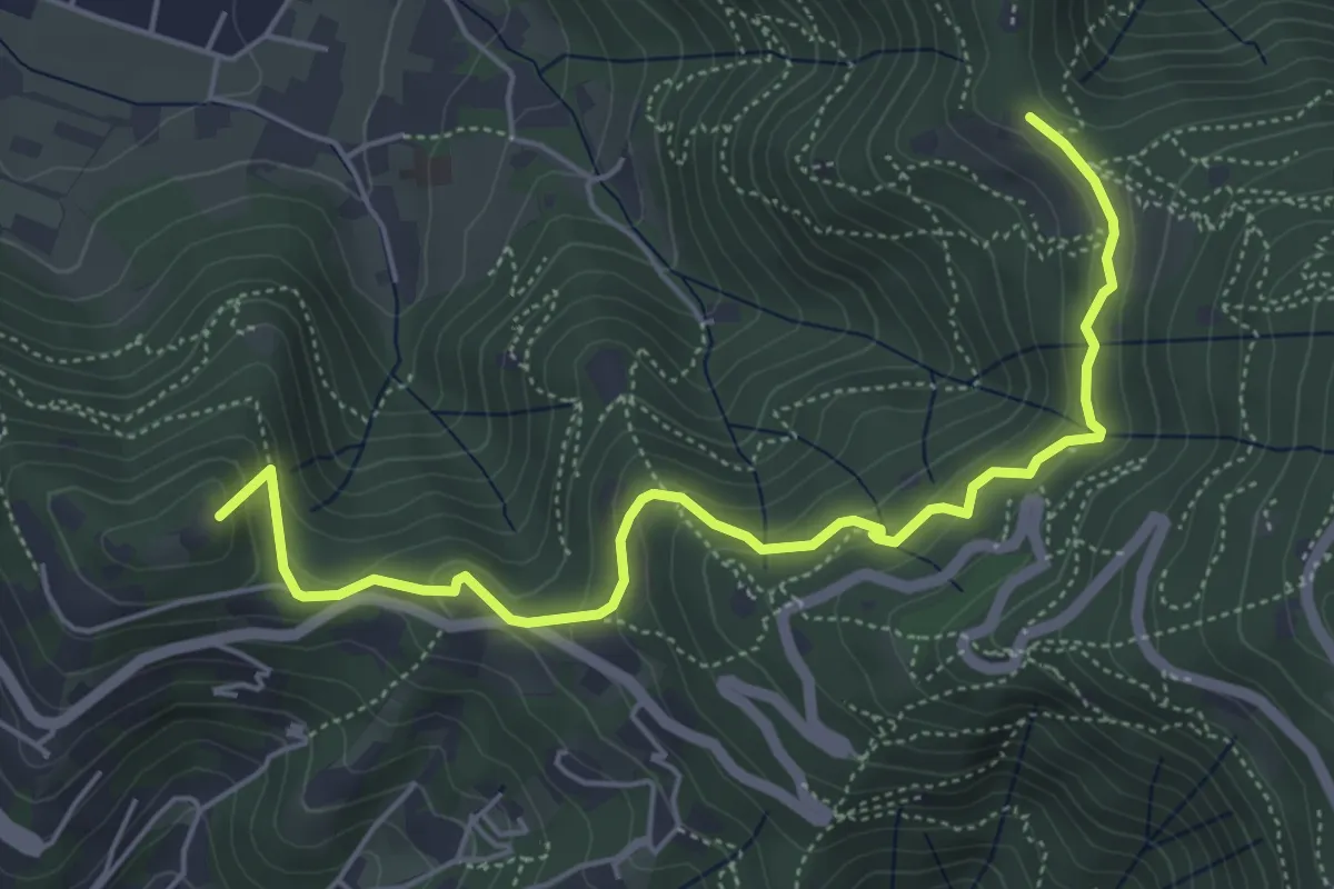
Medium · Summit
Brescia (Via del Goletto) – Cascina Margherita
5.9 km · ↑ 306 m · 2 h 3 min · 4 km away
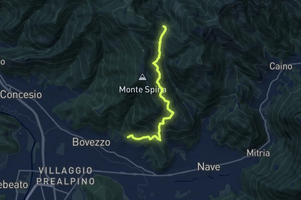
Demanding · Trail
Nave (Cortine) - Cascina Cocca
10.8 km · ↑ 913 m · 4 h 32 min · 4 km away
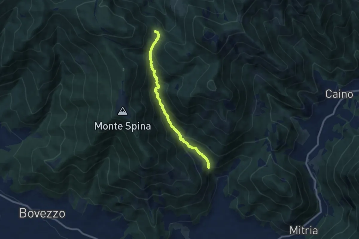
Demanding · Trail
Nave (La Corna) - Cascina Cocca
6.6 km · ↑ 417 m · 2 h 27 min · 4 km away
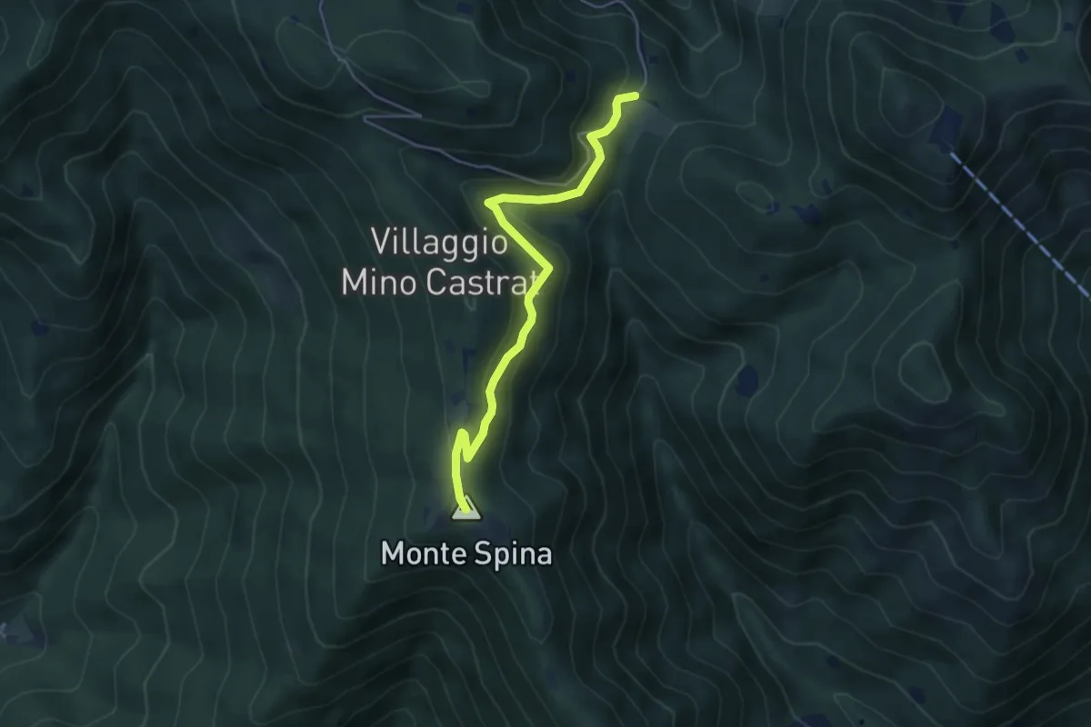
Medium · Summit
Nave (Sacca) - Cascina Cocca
4.7 km · ↑ 209 m · 1 h 33 min · 4 km away
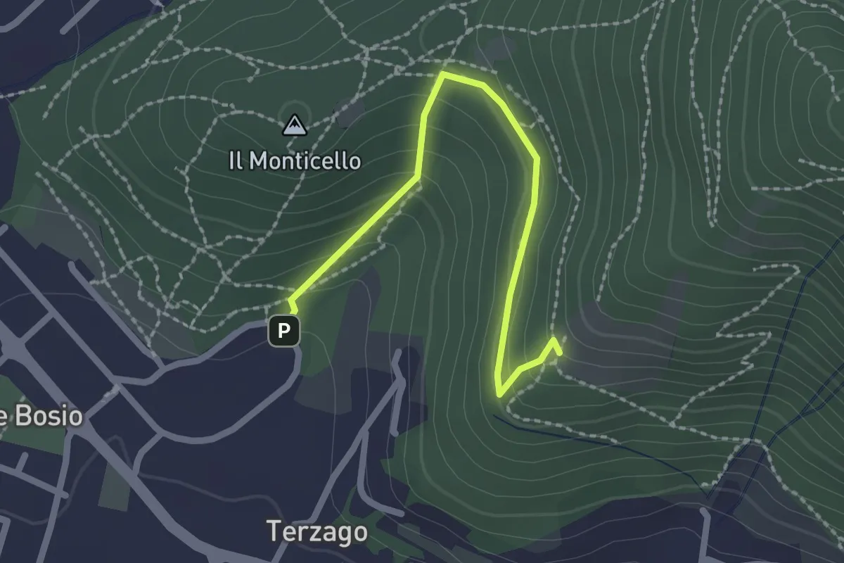
Medium · Trail
Sentiero del Marrone (Variante Concesio)
2.2 km · ↑ 137 m · 49 min · 4 km away
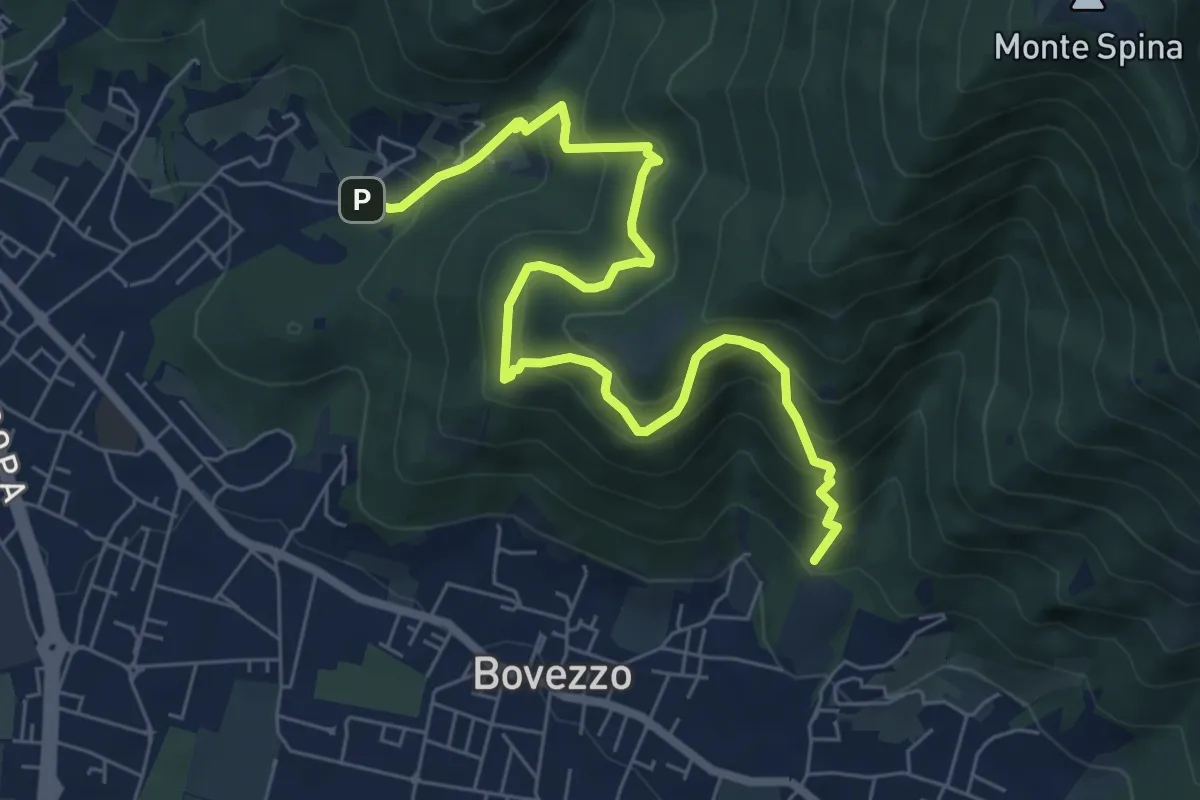
Medium · Trail
Concesio (Roncaglie - Via Sant'Onofrio) – Valle Prignole (Fontanino - Innesto Sentiero 351)
7.9 km · ↑ 704 m · 3 h 24 min · 4 km away
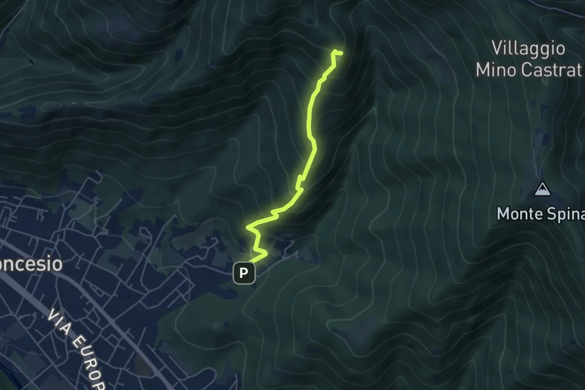
Medium · Summit
Concesio (Roncaglie) – Monte Palosso (Innesto Sentiero 377)
4.3 km · ↑ 481 m · 2 h 3 min · 4 km away
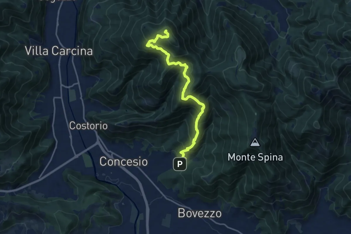
Demanding · Summit
Concesio (Roncaglie) - Monte Palosso
12.8 km · ↑ 1042 m · 5 h 17 min · 4 km away
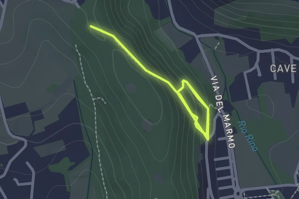
Demanding · Trail
La Via del marmo - Botticino (Castagneto)
2.5 km · ↑ 123 m · 52 min · 5 km away
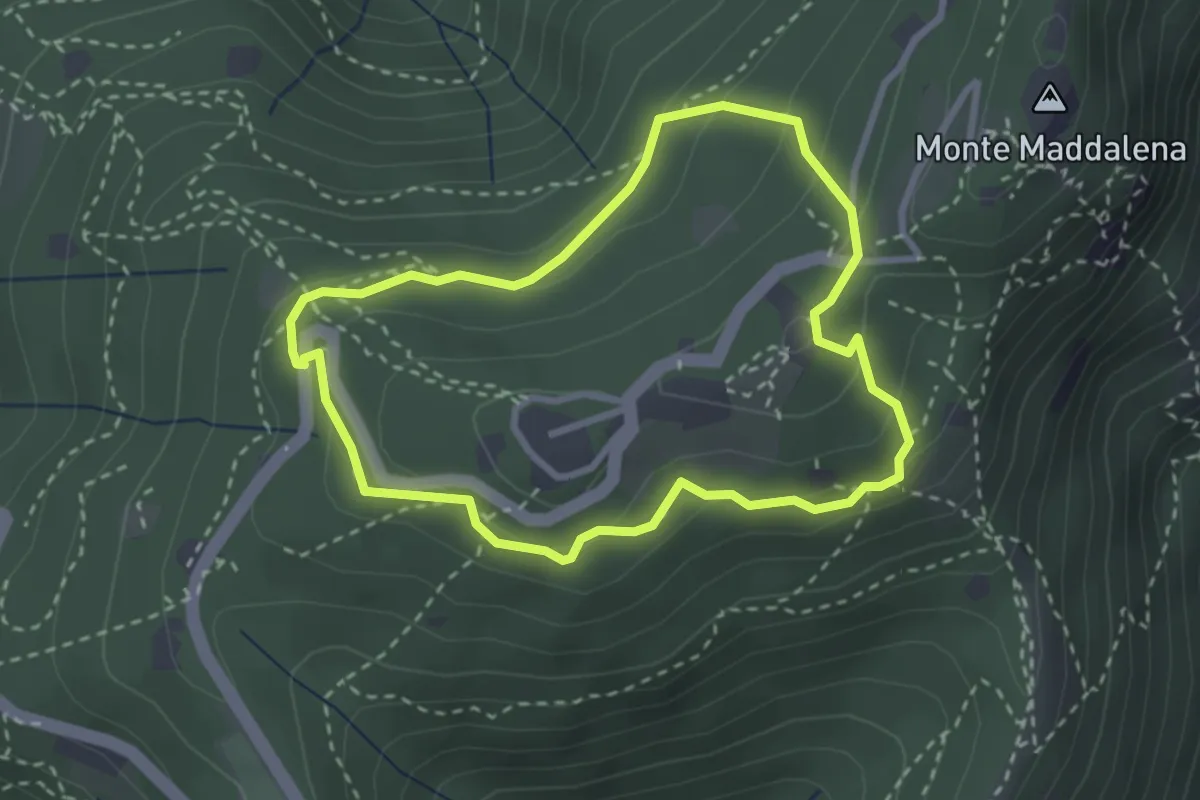
Medium · Trail
Anello della Maddalena
2.7 km · ↑ 144 m · 59 min · 5 km away
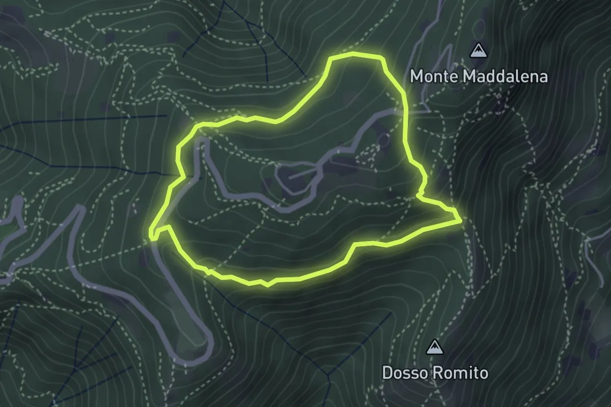
Demanding · Trail
Anello delle Pozze
3.4 km · ↑ 182 m · 1 h 15 min · 5 km away