Trails near Nave
265 hikes starting within 15 km, nearest first.
Nearest first, page 2 of 6
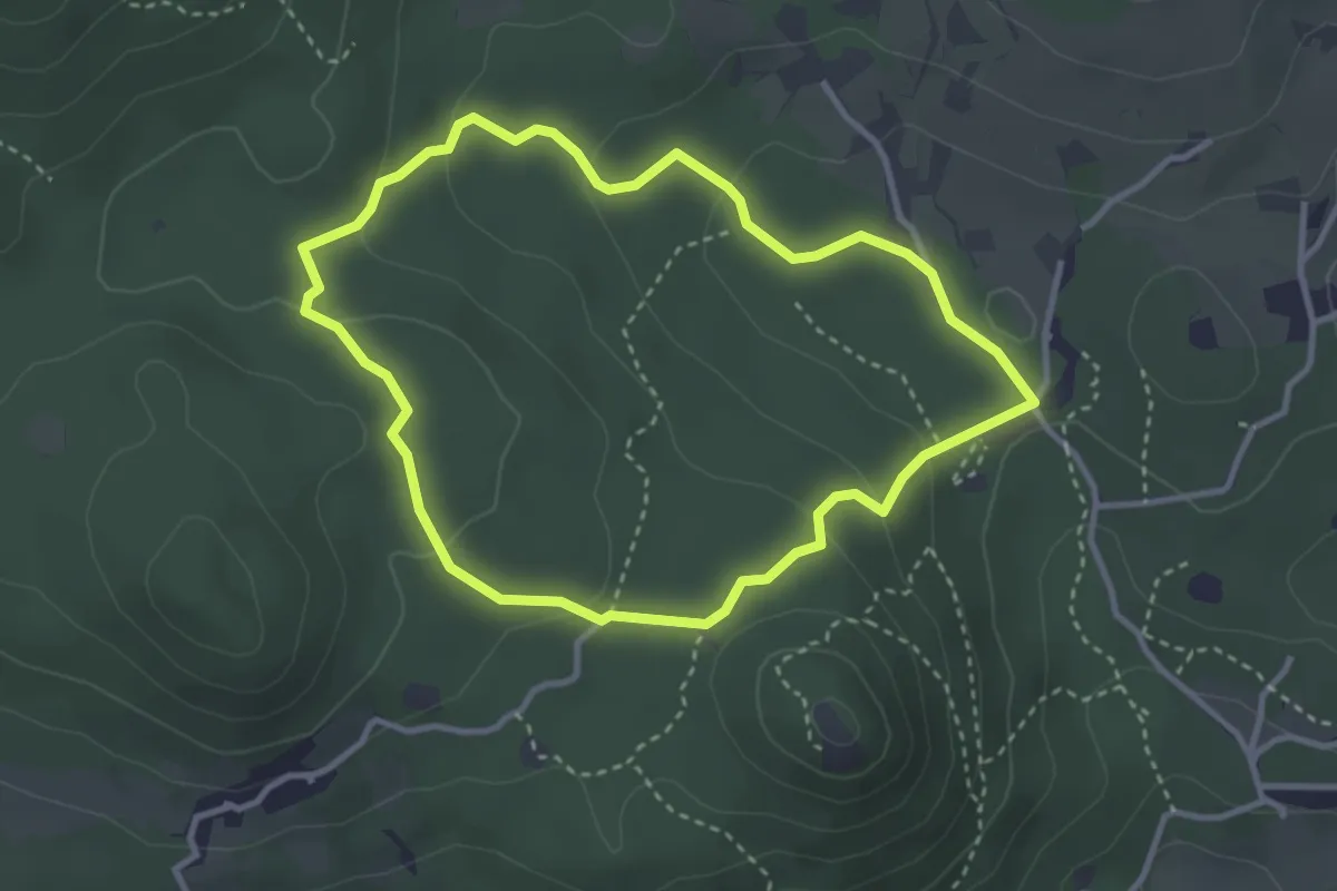
Easy · Trail
Serle (Grotta della Carbonella) - Büs de la Pocia
3.2 km · ↑ 108 m · 1 h 2 min · 5 km away
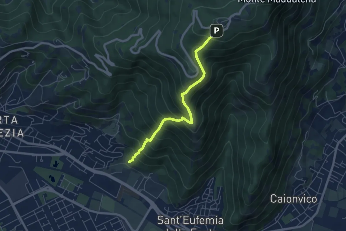
Medium · Trail
Sentiero Pastori 2
5.2 km · ↑ 637 m · 2 h 36 min · 5 km away
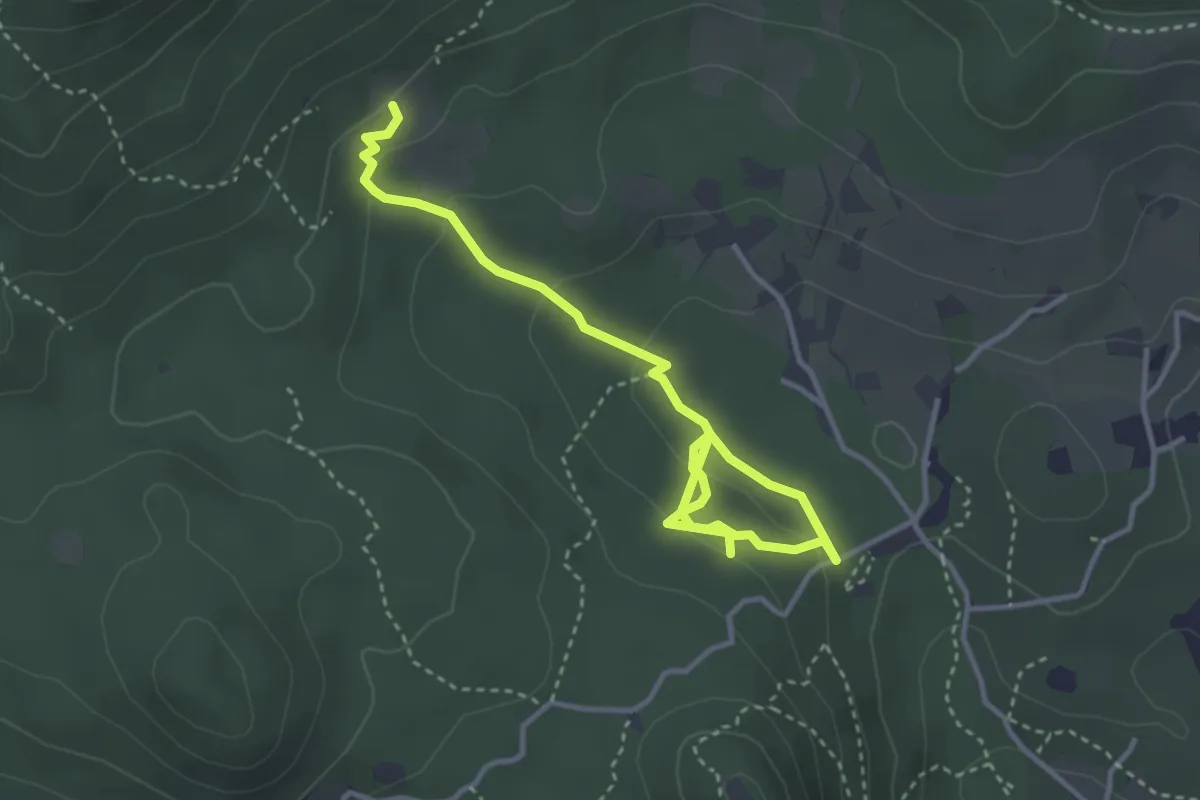
Easy · Trail
Sentiero degli Omber
2.2 km · ↑ 40 m · 40 min · 5 km away
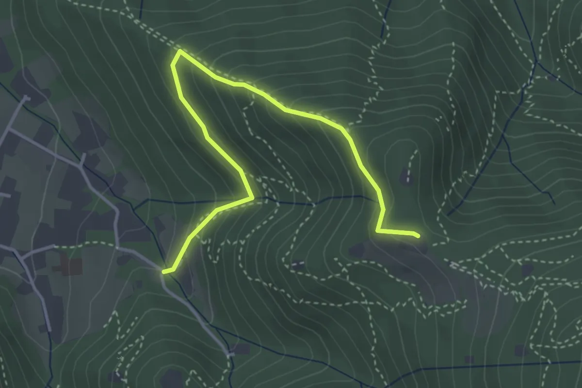
Medium · Trail
Brescia (Costalunga - Via Monte della Valle) – Monte Maddalena (Cascina Margherita - Innesto Sentiero 907)
4.0 km · ↑ 301 m · 1 h 36 min · 5 km away
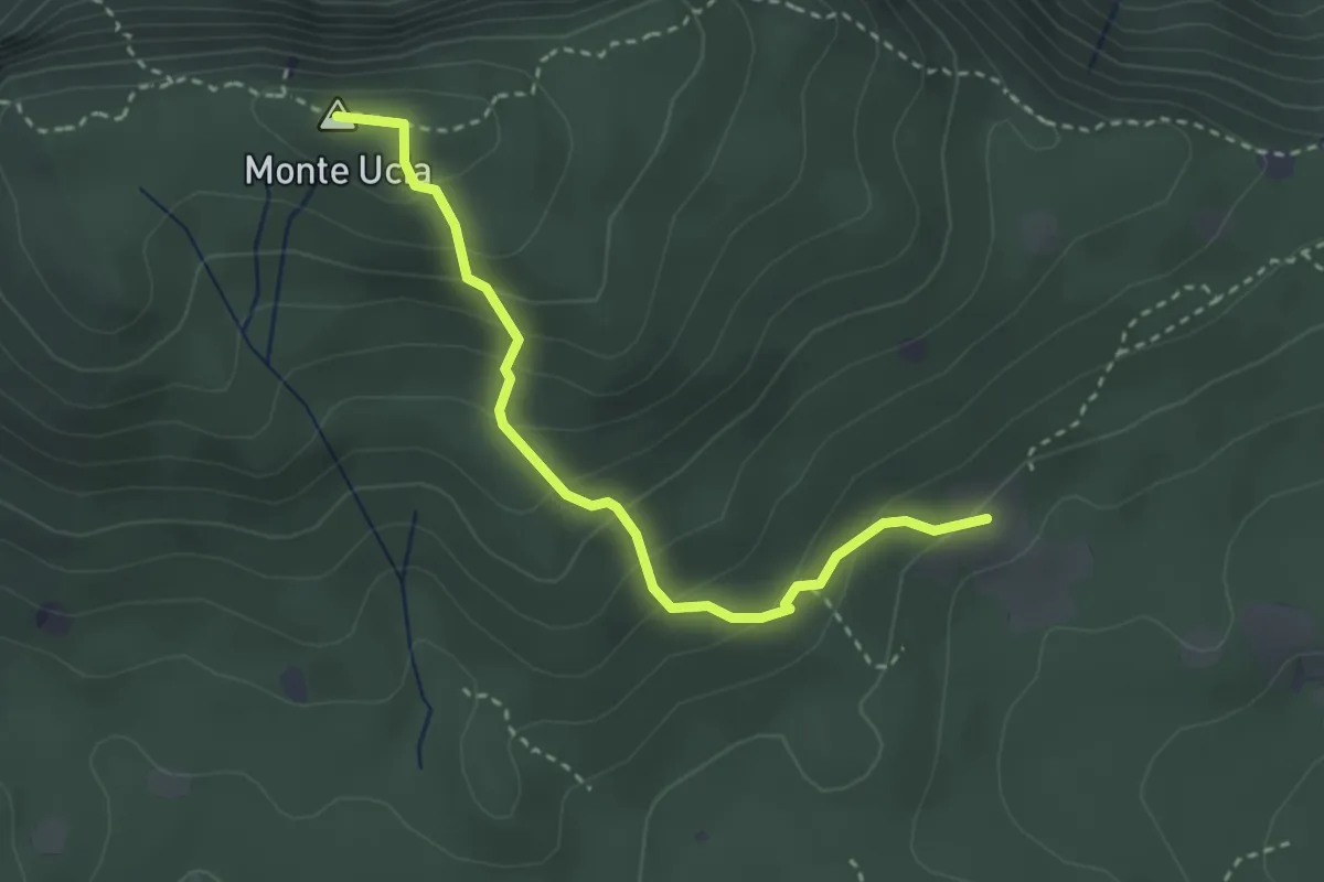
Easy · Summit
Serle (Cascina del Comune) - Corna di Caino
3.1 km · ↑ 265 m · 1 h 19 min · 5 km away
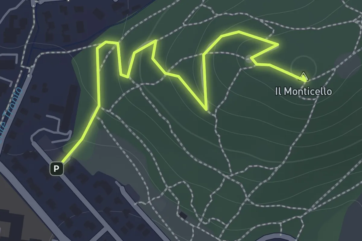
Easy · Summit
Concesio (Monticello) - Sentiero 1
2.0 km · ↑ 76 m · 38 min · 5 km away
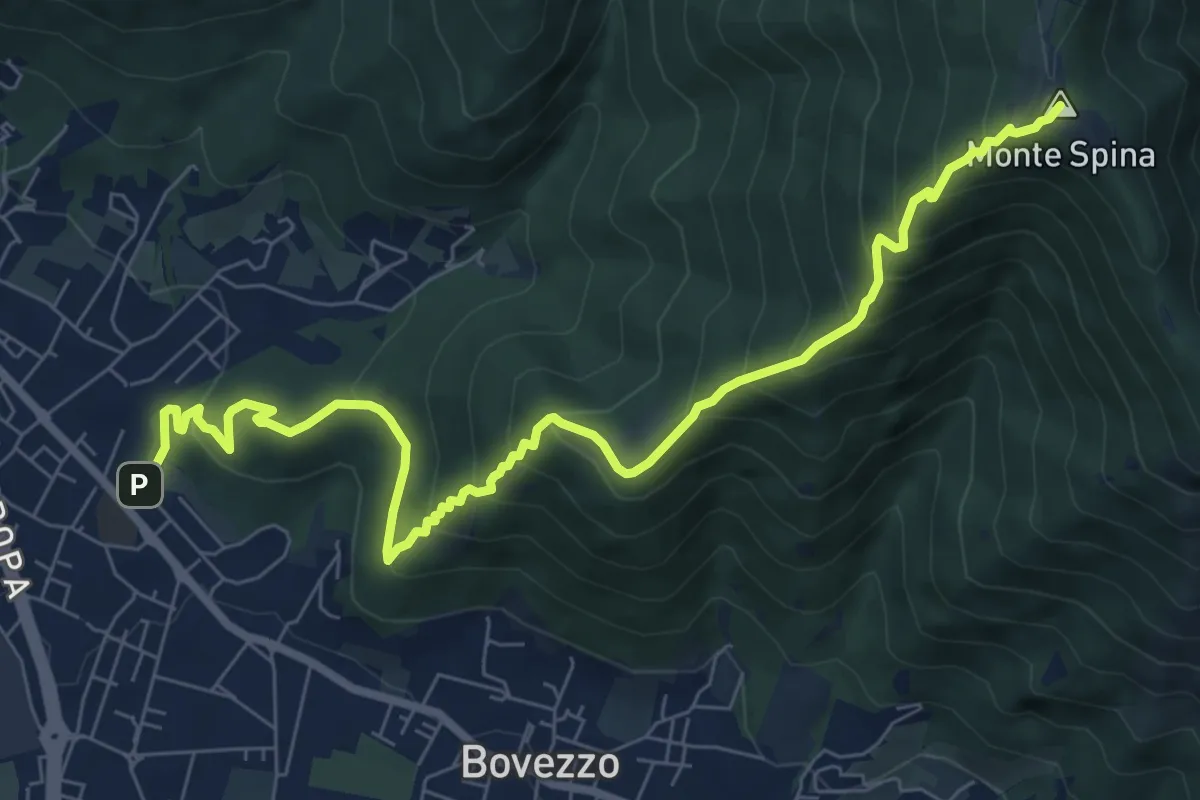
Medium · Summit
Concesio (Sant'Andrea) - Sant'Onofrio
9.4 km · ↑ 736 m · 3 h 48 min · 5 km away
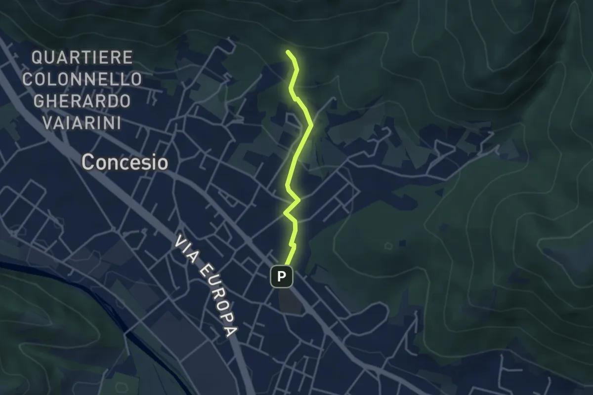
Easy · Trail
Concesio (Sant'Andrea) - Monte Verdura (Innesto Sentiero G)
2.6 km · ↑ 114 m · 52 min · 5 km away
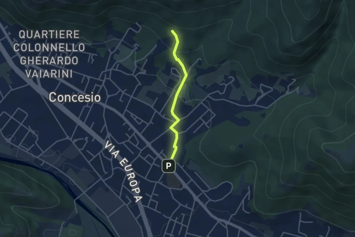
Easy · Trail
Concesio (Sant'Andrea) - Monte Verdura (Innesto Sentiero da Pieve)
2.6 km · ↑ 114 m · 52 min · 5 km away
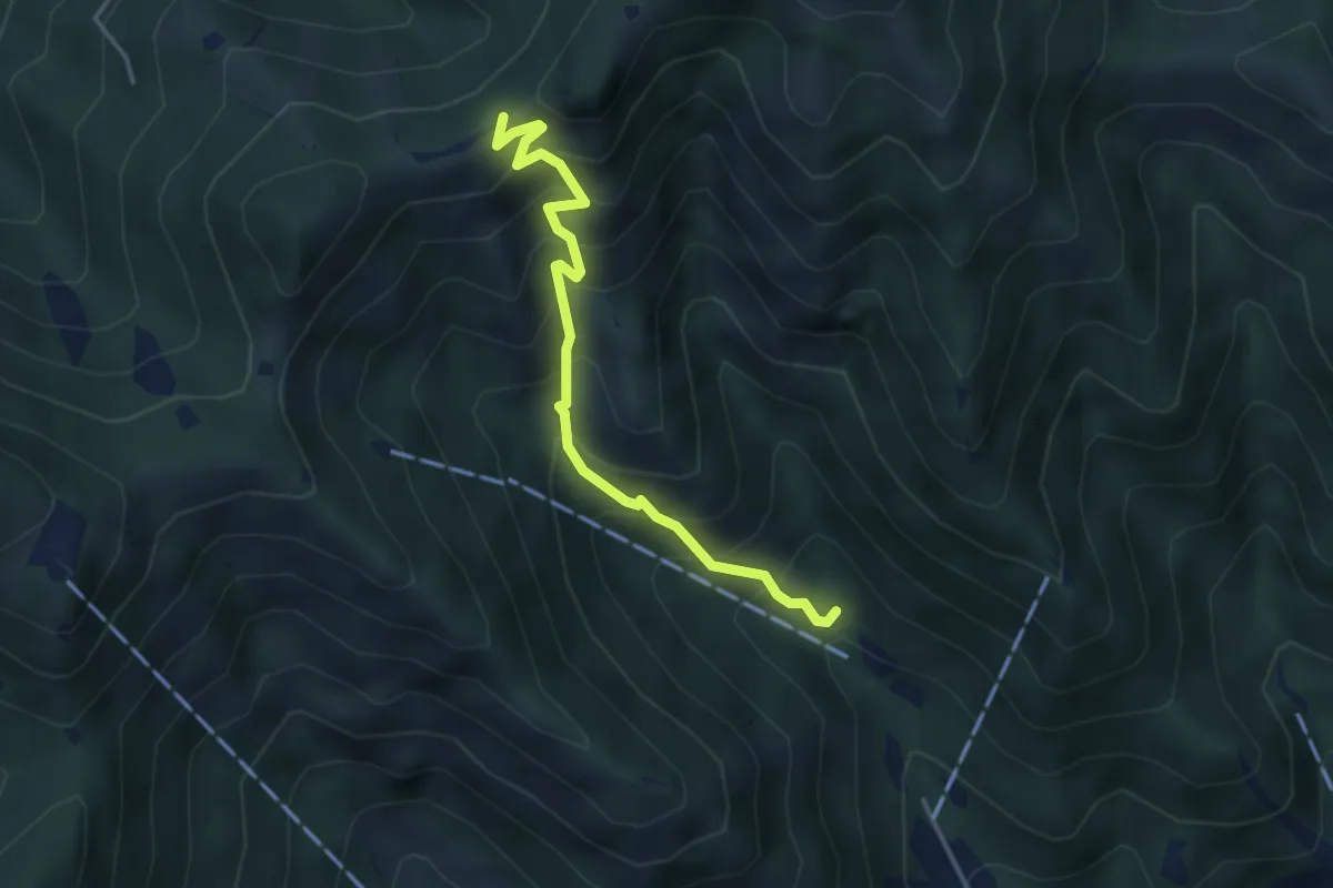
Medium · Trail
Caino (Madonna delle Fontane) – San Giorgio (Innesto Sentiero 381)
3.9 km · ↑ 503 m · 2 h 1 min · 5 km away
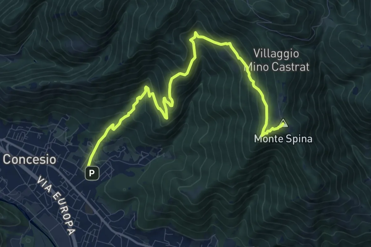
Demanding · Summit
Concesio (Roncaglie - Via Cadizzone) – Sant'Onofrio
13.1 km · ↑ 861 m · 4 h 57 min · 5 km away
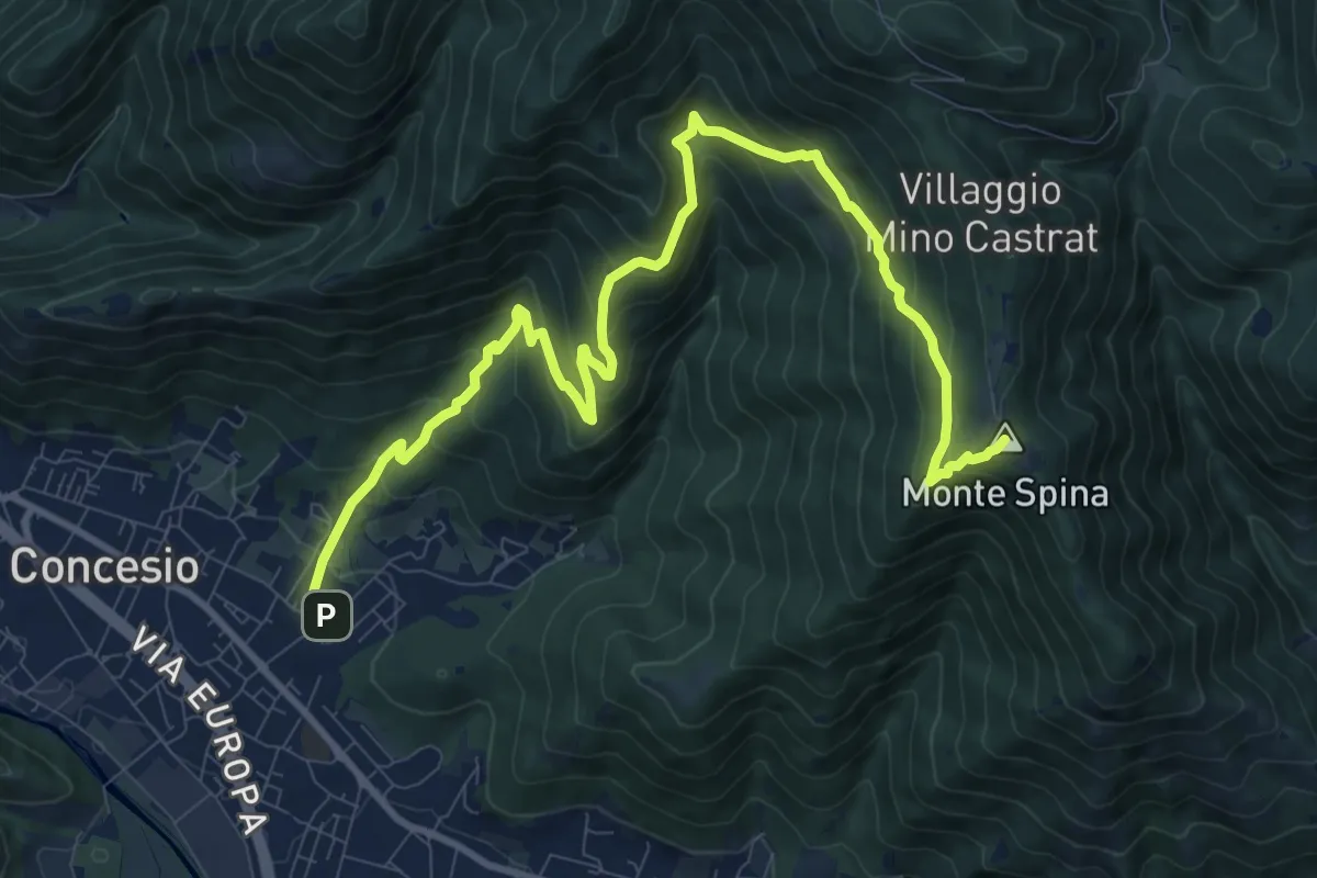
Demanding · Summit
Concesio (Roncaglie) - Sant'Onofrio
13.1 km · ↑ 861 m · 4 h 57 min · 5 km away
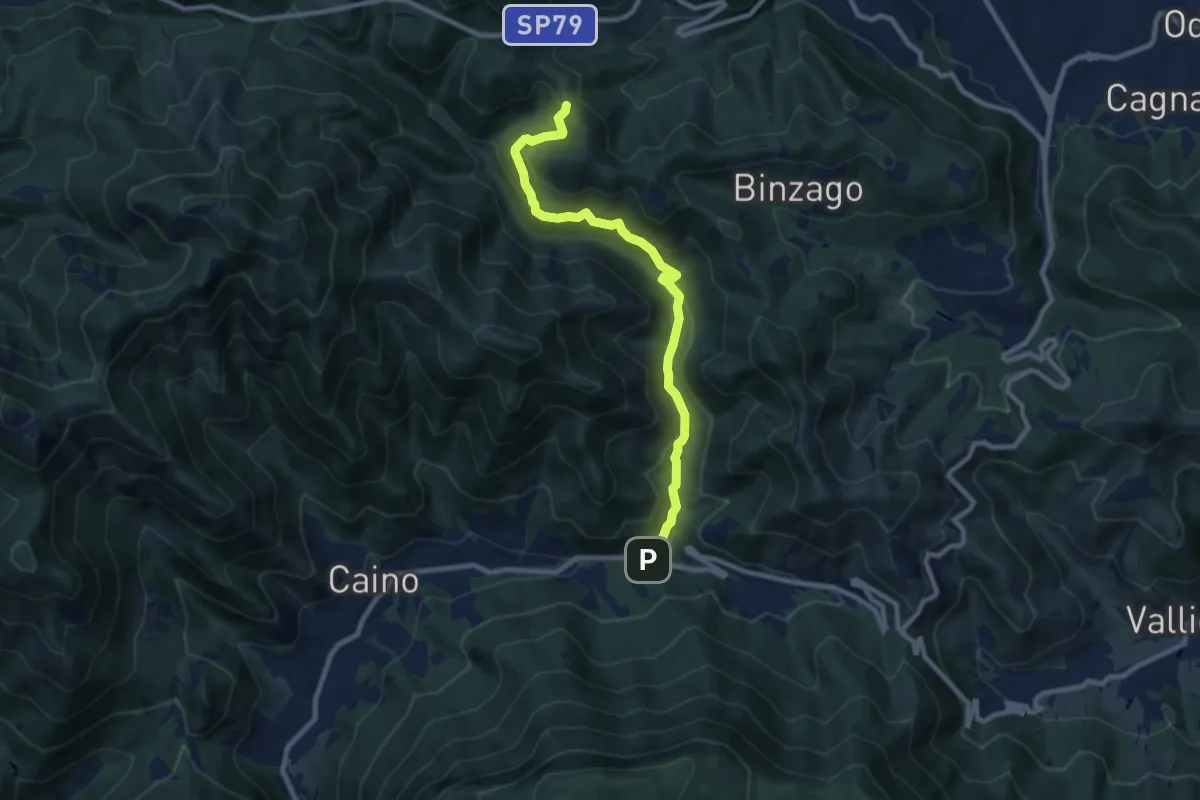
Medium · Trail
Caino (Val Bertone) – Passo Viglio
8.9 km · ↑ 525 m · 3 h 14 min · 5 km away
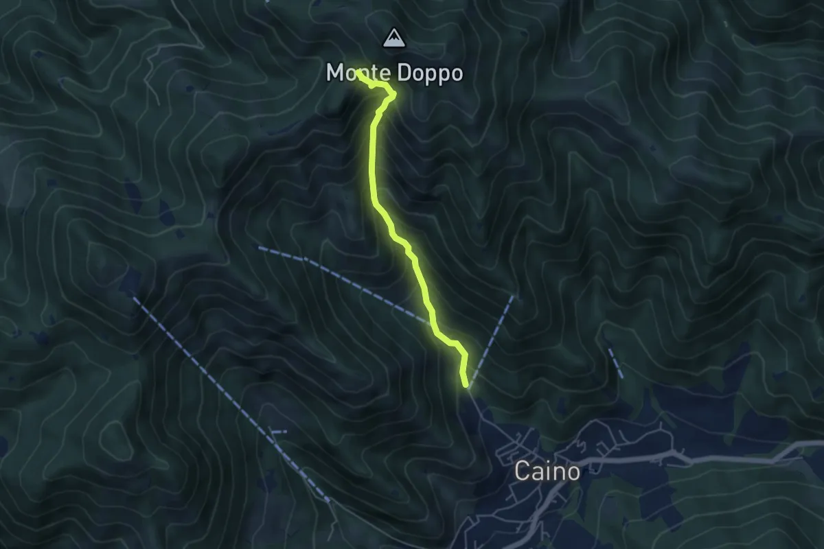
Medium · Trail
Caino (Pian delle Castagne) – Eremo di San Giorgio (Innesto Sentiero 381)
4.3 km · ↑ 584 m · 2 h 16 min · 5 km away
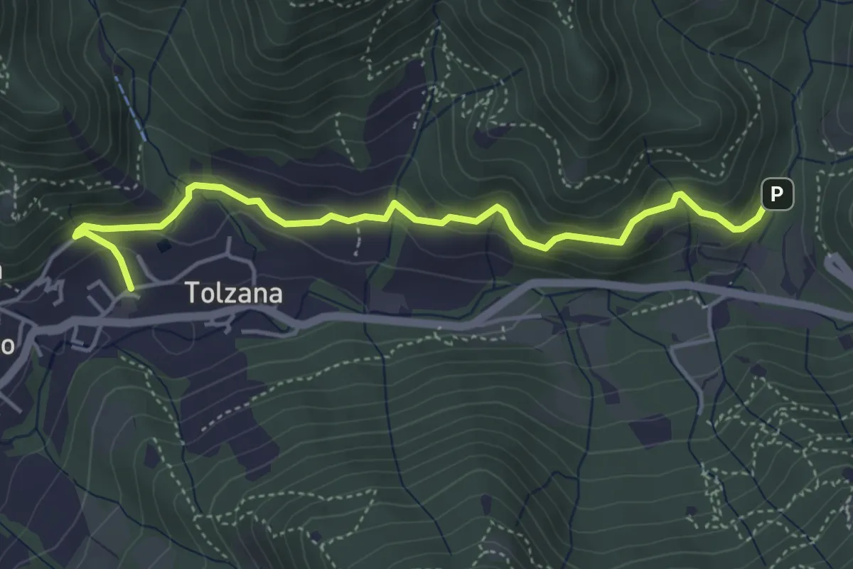
Easy · Trail
Caino – Val Bertone
4.7 km · ↑ 261 m · 1 h 41 min · 5 km away
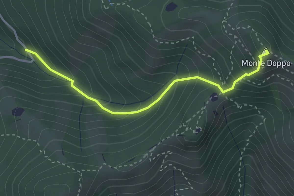
Expert · Summit
Lumezzane (Valle San Giorgio) - Monte Doppo
2.8 km · ↑ 348 m · 1 h 25 min · 5 km away
Easy · Cabin
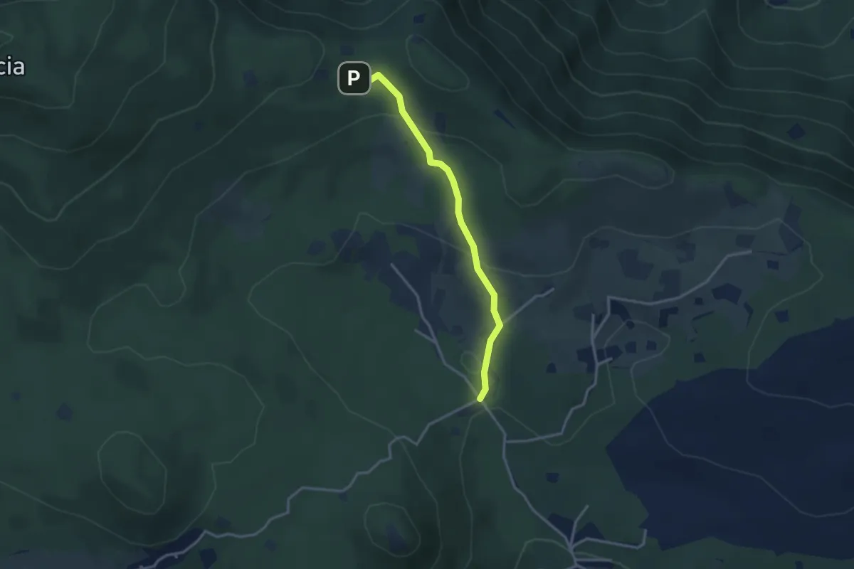
Serle (Rifugio Alpini di Serle) - Monte Ucia - Corna di Caino
2.9 km · ↑ 122 m · 57 min · 5 km away
Medium · Trail
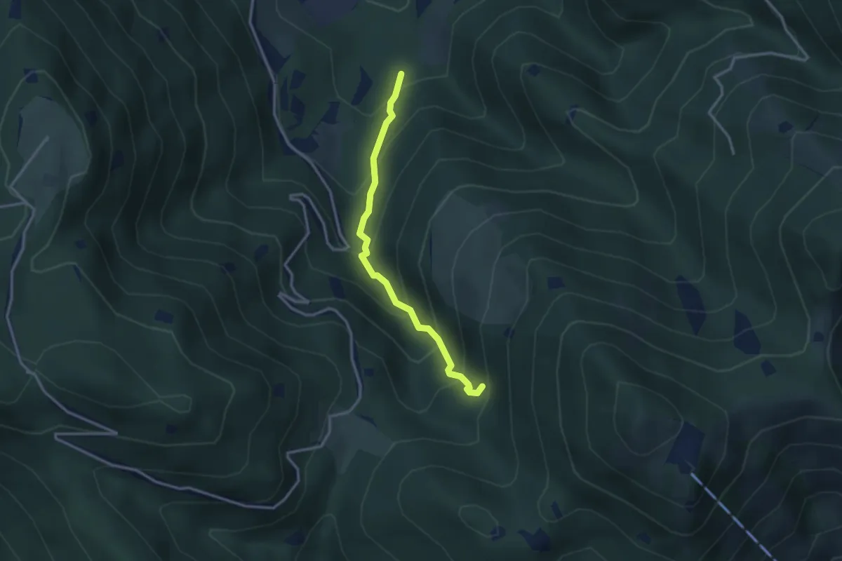
Lumezzane (Innesto Sentiero 374) - Fontanì de A'bie - Innesto Sentiero 375
2.7 km · ↑ 300 m · 1 h 18 min · 5 km away
Medium · Summit
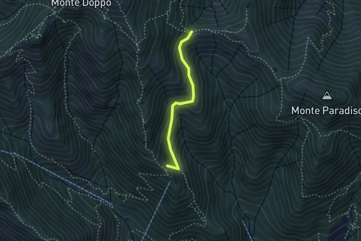
Caino (Pian delle Castagne) – Boatica (Innesto Sentiero 381)
2.6 km · ↑ 259 m · 1 h 10 min · 5 km away
Medium · Trail
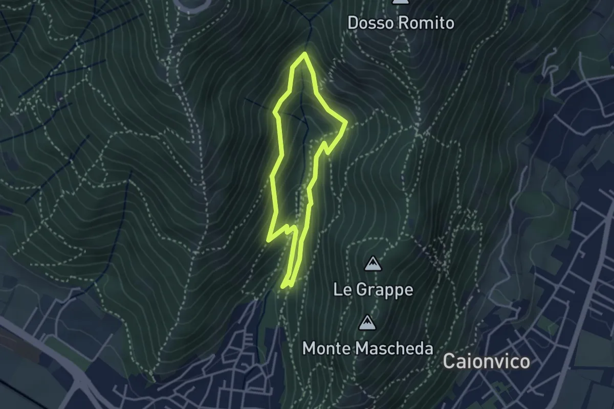
Sentiero dei Bucaneve
2.6 km · ↑ 240 m · 1 h 10 min · 5 km away
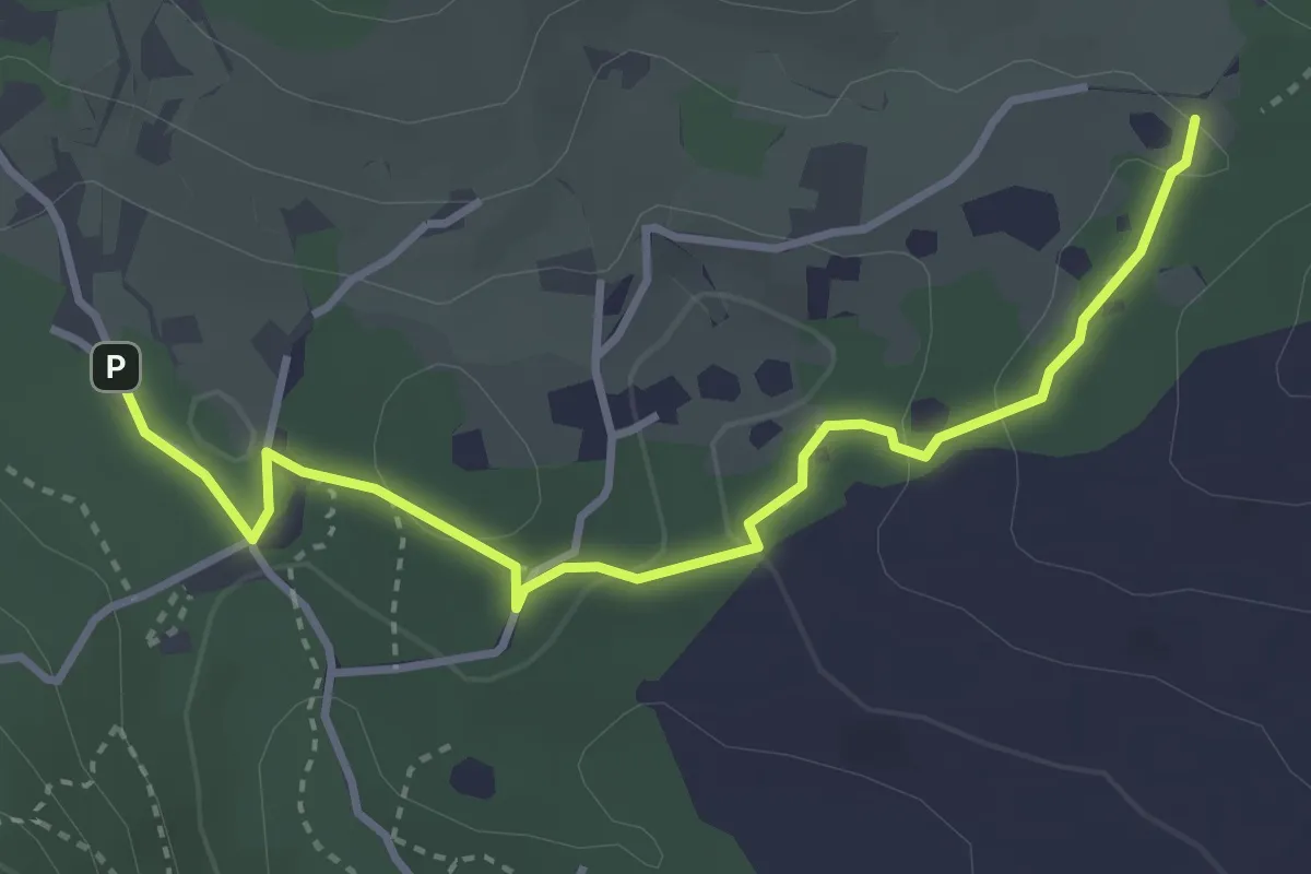
Easy · Trail
Sentiero del Büs del Lat
3.9 km · ↑ 74 m · 1 h 4 min · 5 km away
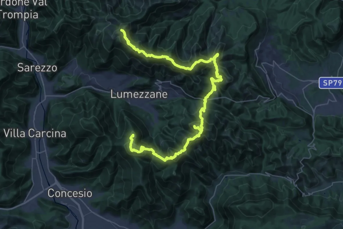
Expert · Summit
Via del Sacro
42.2 km · ↑ 2976 m · 16 h 24 min · 6 km away
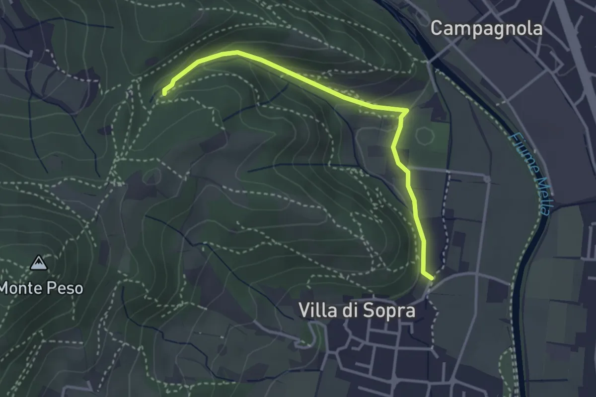
Medium · Trail
Collebeato (La Noia) – Monte Zuccolotto (Innesto Sentiero 248)
3.3 km · ↑ 135 m · 1 h 4 min · 6 km away
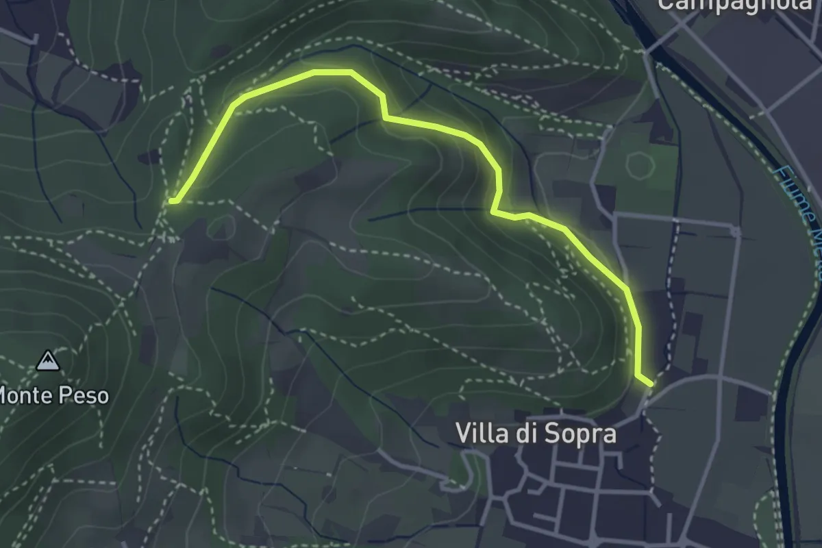
Medium · Trail
Collebeato (La Noia) – Sella del Madì (Innesto Sentiero 247)
3.5 km · ↑ 192 m · 1 h 15 min · 6 km away
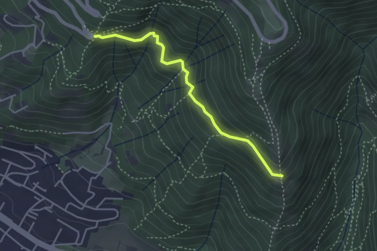
Medium · Trail
Innesto sentiero n. 902 – Innesto sentiero3V n.993
3.2 km · ↑ 233 m · 1 h 16 min · 6 km away
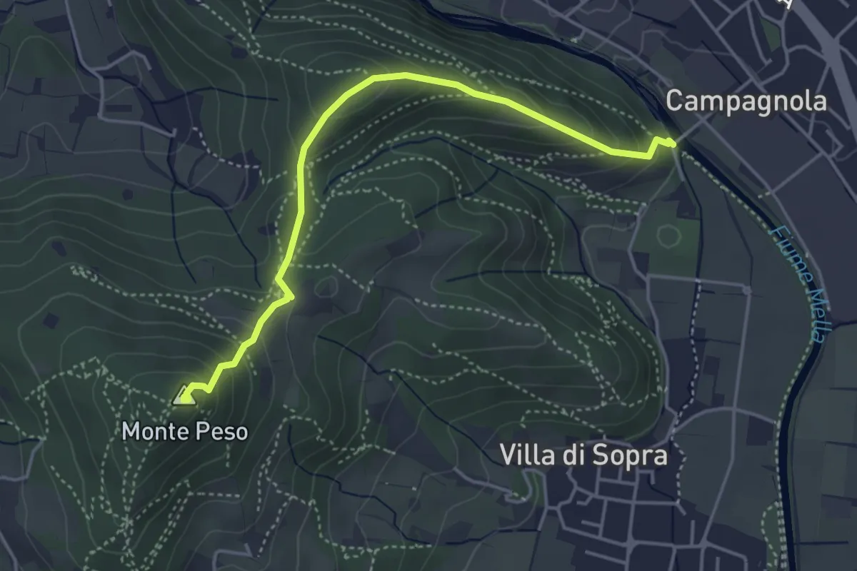
Demanding · Summit
Collebeato (Le Bocche) – Monte Peso
4.4 km · ↑ 346 m · 1 h 48 min · 6 km away
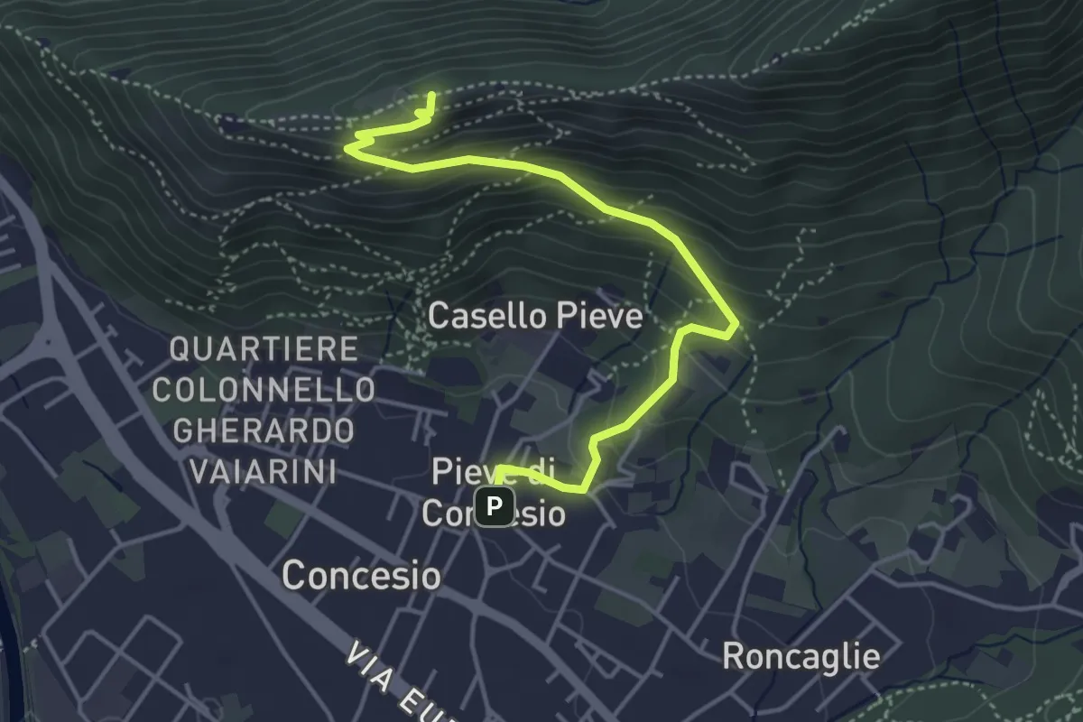
Medium · Cabin
Concesio (Pieve) - Monte Verdura
4.4 km · ↑ 333 m · 1 h 46 min · 6 km away
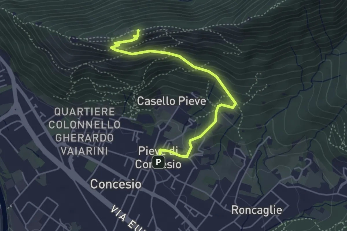
Medium · Cabin
Concesio (Pieve) – Monte Verdura
4.4 km · ↑ 333 m · 1 h 46 min · 6 km away
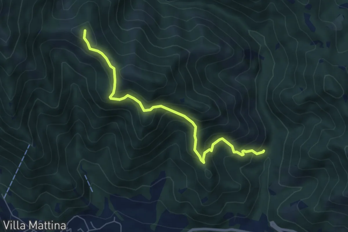
Medium · Summit
Caino (Val Bertone) – Boatica (Innesto Sentiero 381)
6.1 km · ↑ 507 m · 2 h 32 min · 6 km away
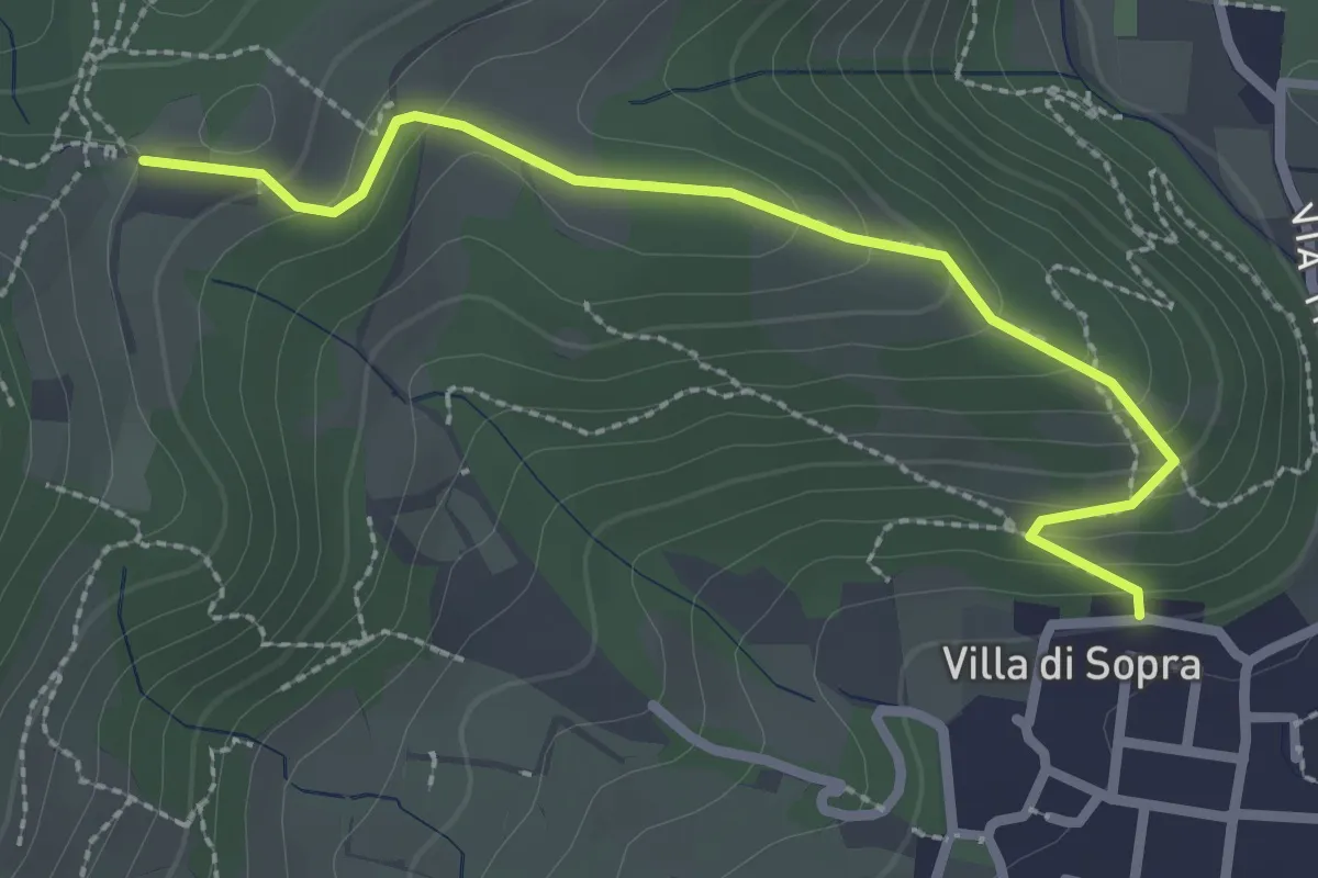
Medium · Trail
Collebeato (Villa Sopra) – Ex Convento di Santo Stefano
2.7 km · ↑ 146 m · 58 min · 6 km away
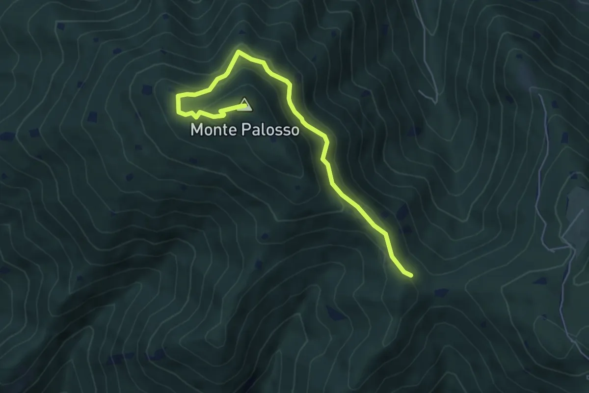
Medium · Summit
Sentiero Gnutti Cirillo
5.8 km · ↑ 302 m · 2 h 2 min · 6 km away
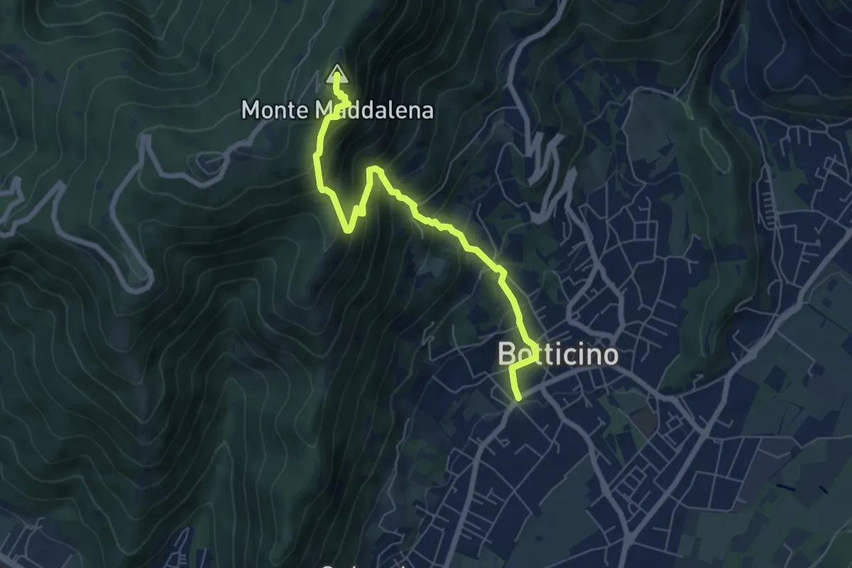
Medium · Summit
Botticino (Via Gioacchino Rossini) – Ex Rifugio Monte Maddalena
6.6 km · ↑ 756 m · 3 h 12 min · 6 km away
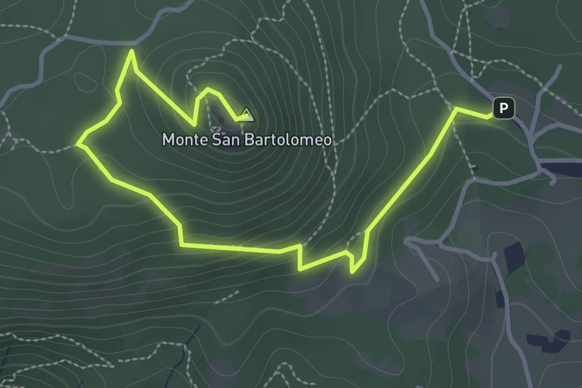
Medium · Summit
Serle (Parcheggio dei Fanti) - Monastero di San Bartolomeo
3.9 km · ↑ 164 m · 1 h 16 min · 6 km away
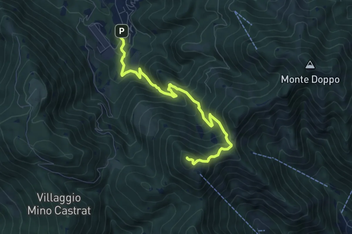
Medium · Summit
Lumezzane (Via Ruca) – Cascina Cocca
8.4 km · ↑ 670 m · 3 h 26 min · 6 km away
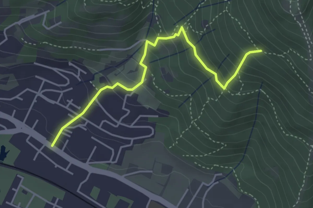
Medium · Trail
Brescia (Viale della Bornata) – Innesto Sentiero 912
3.9 km · ↑ 337 m · 1 h 39 min · 6 km away
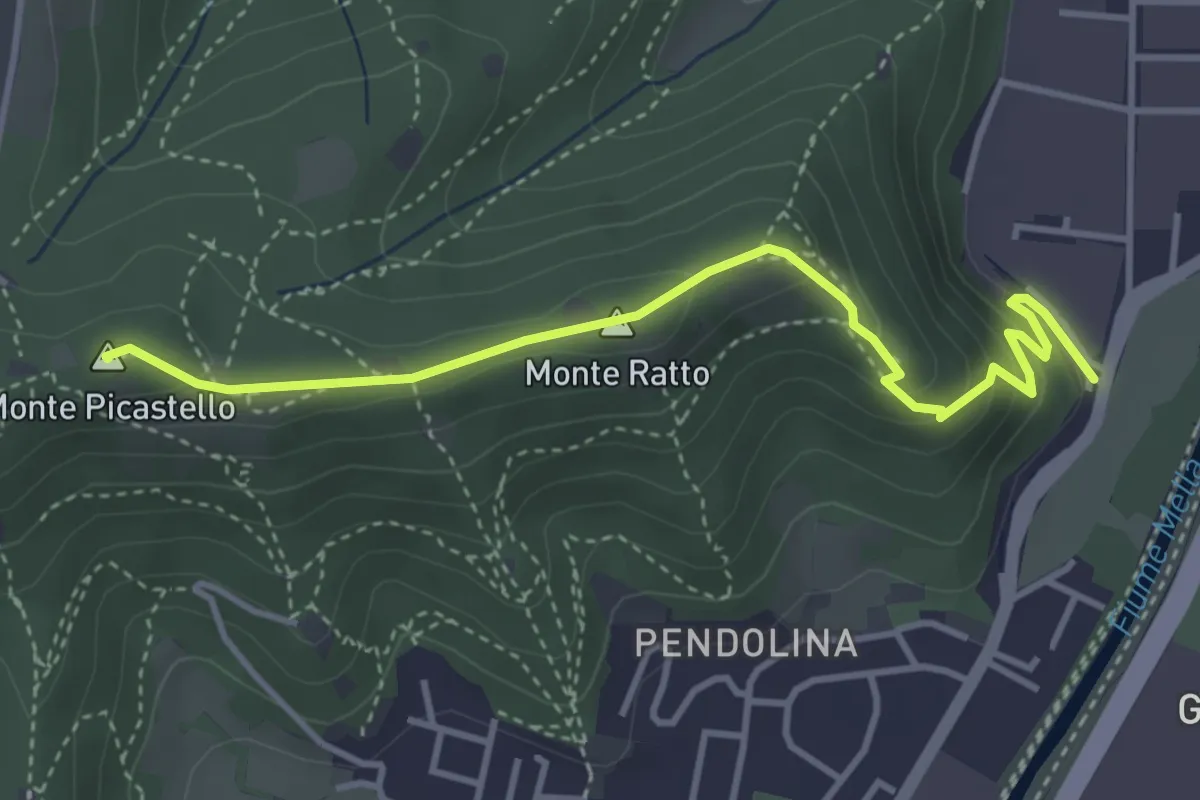
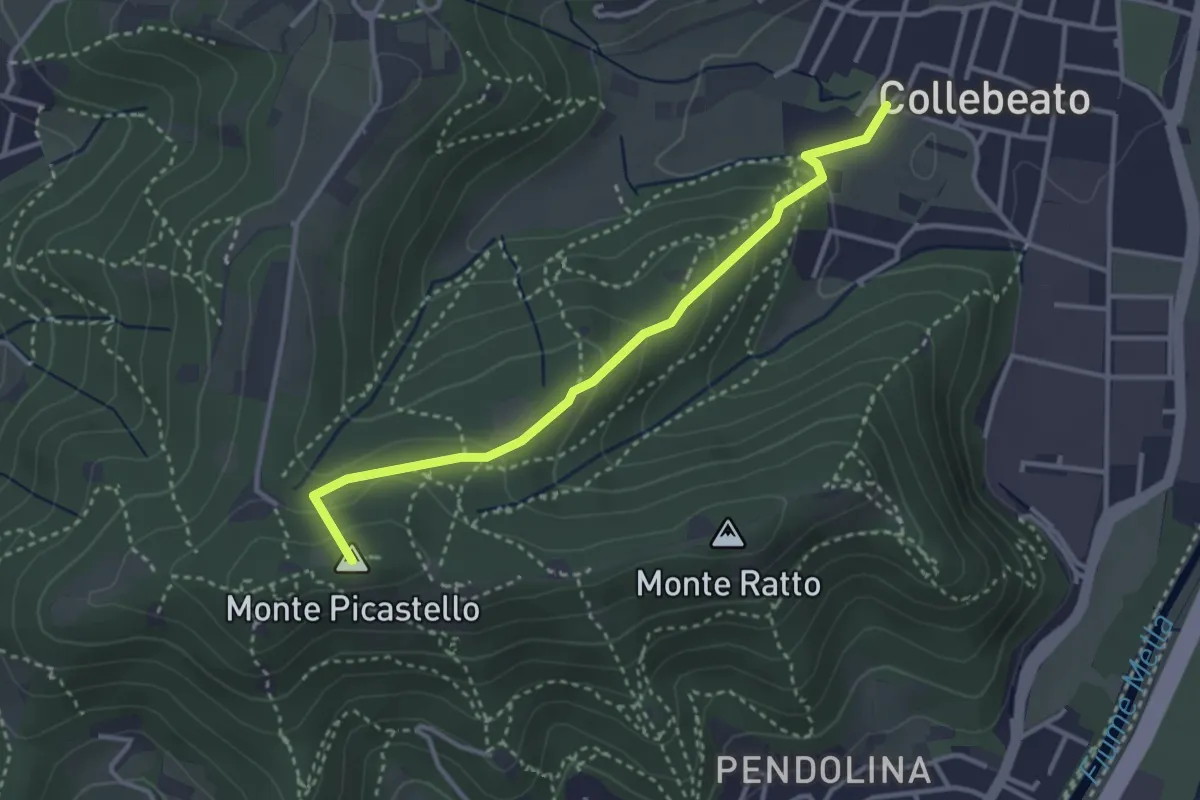
Medium · Summit
Collebeato (Via Roma) – Monte Picastello
4.1 km · ↑ 191 m · 1 h 24 min · 6 km away
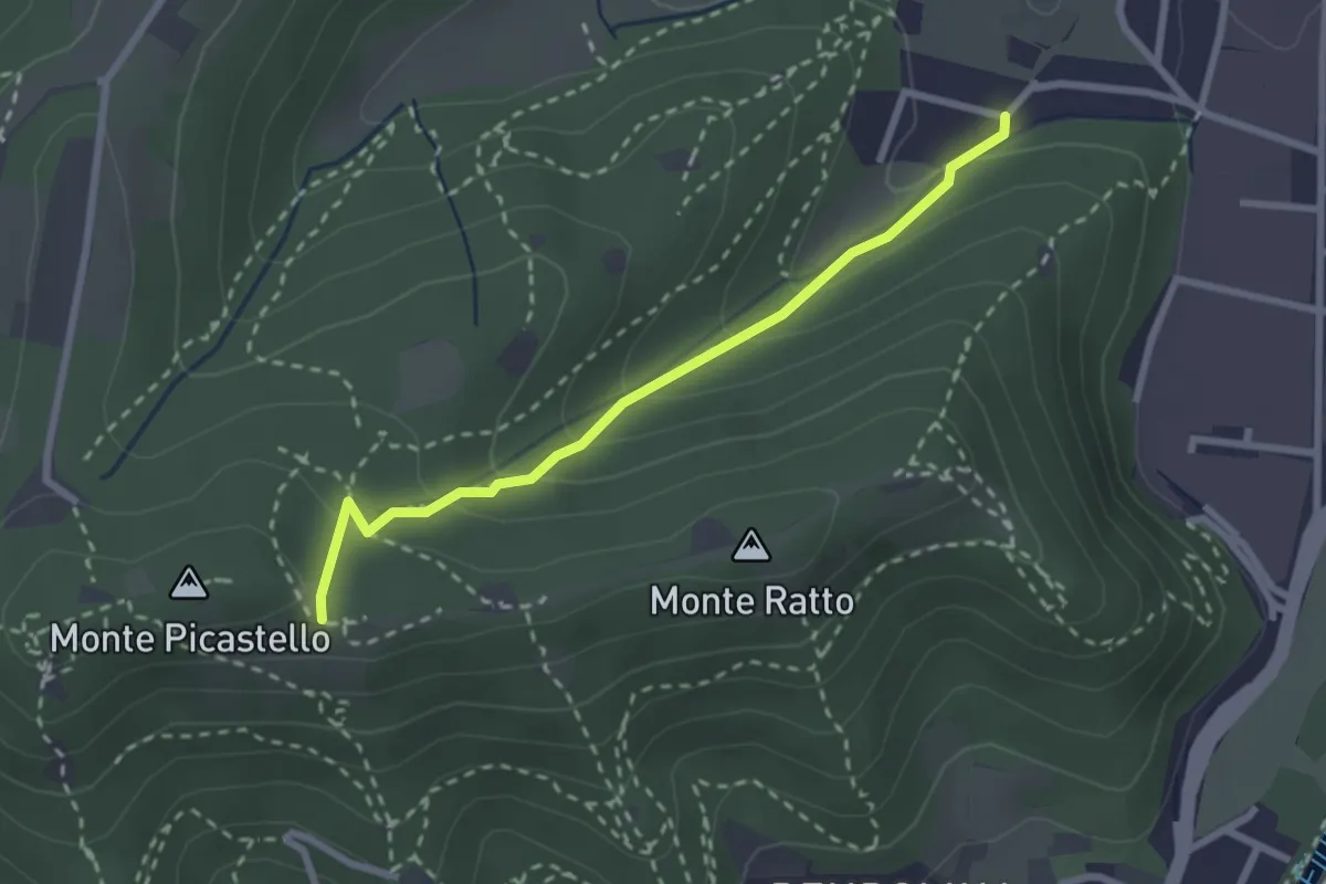
Medium · Summit
Collebeato (Via Angolo di Sotto) – Campiani (Il Merlo)
3.3 km · ↑ 178 m · 1 h 10 min · 6 km away
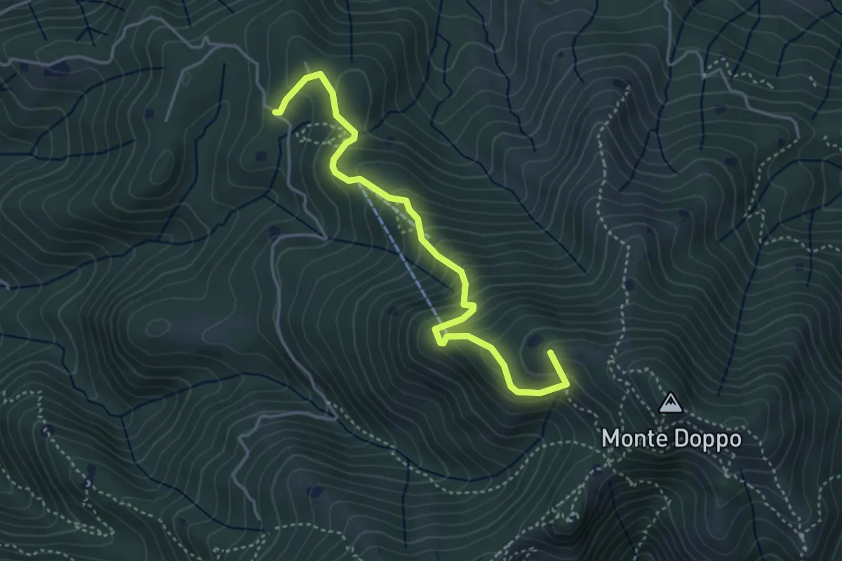
Easy · Trail
Collebeato (Campo de Carlì) – Innesto Sentiero 217
2.5 km · ↑ 158 m · 56 min · 6 km away
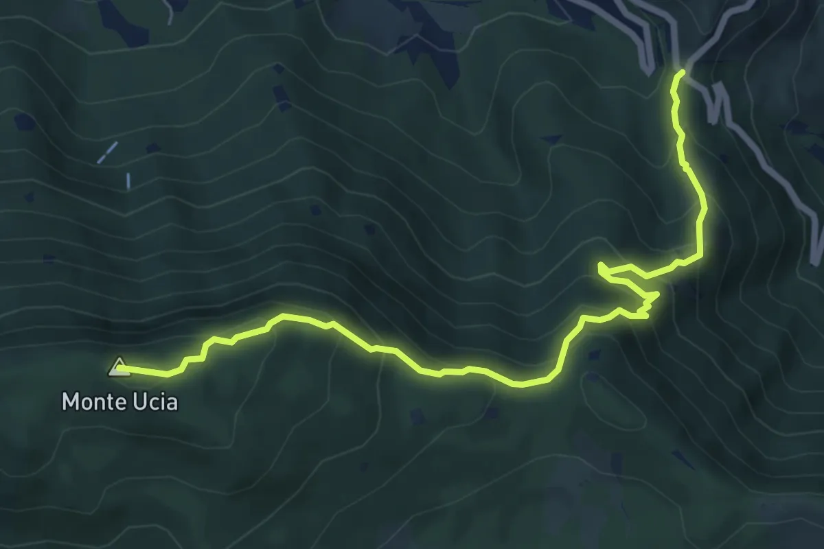
Medium · Summit
Lumezzane (Burio) - Bivio per San Giorgio
4.2 km · ↑ 376 m · 1 h 48 min · 6 km away
Medium · Summit
Sentiero Donna - Guarneri
7.2 km · ↑ 651 m · 3 h 7 min · 6 km away
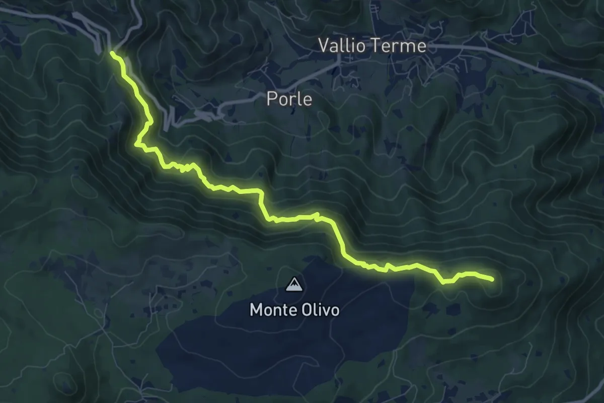
Medium · Summit
Sentér de mès
10.1 km · ↑ 629 m · 3 h 45 min · 6 km away
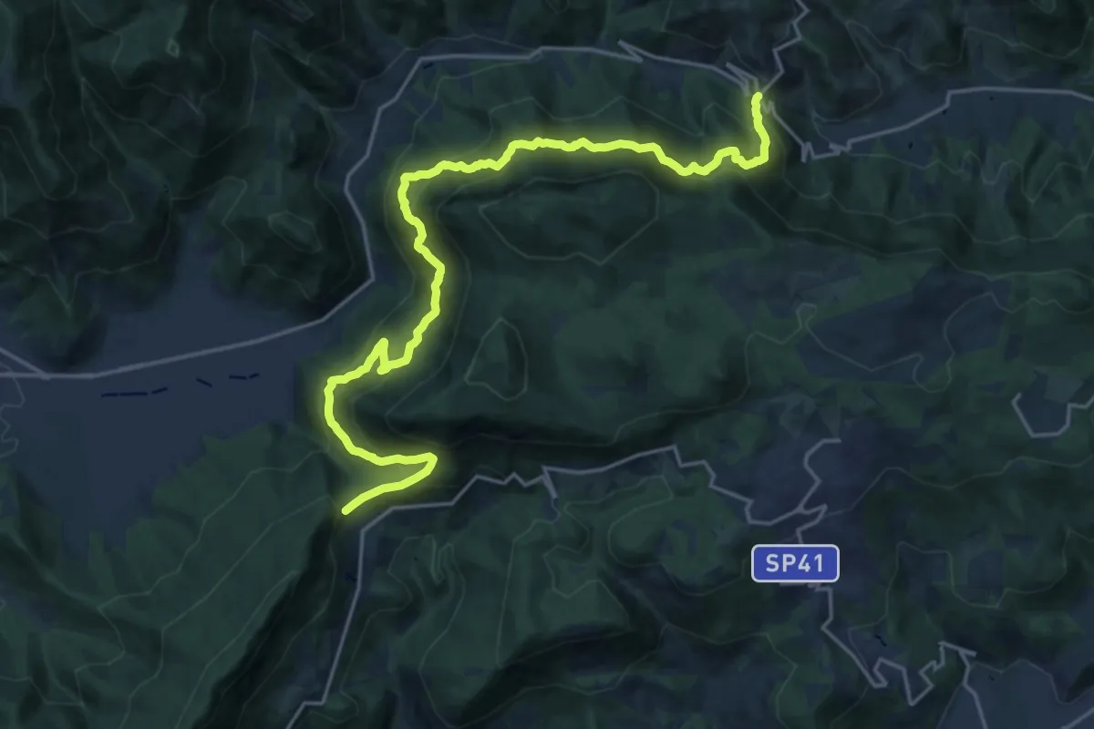
Demanding · Summit
Sentér Bandìt
22.8 km · ↑ 2084 m · 9 h 53 min · 6 km away
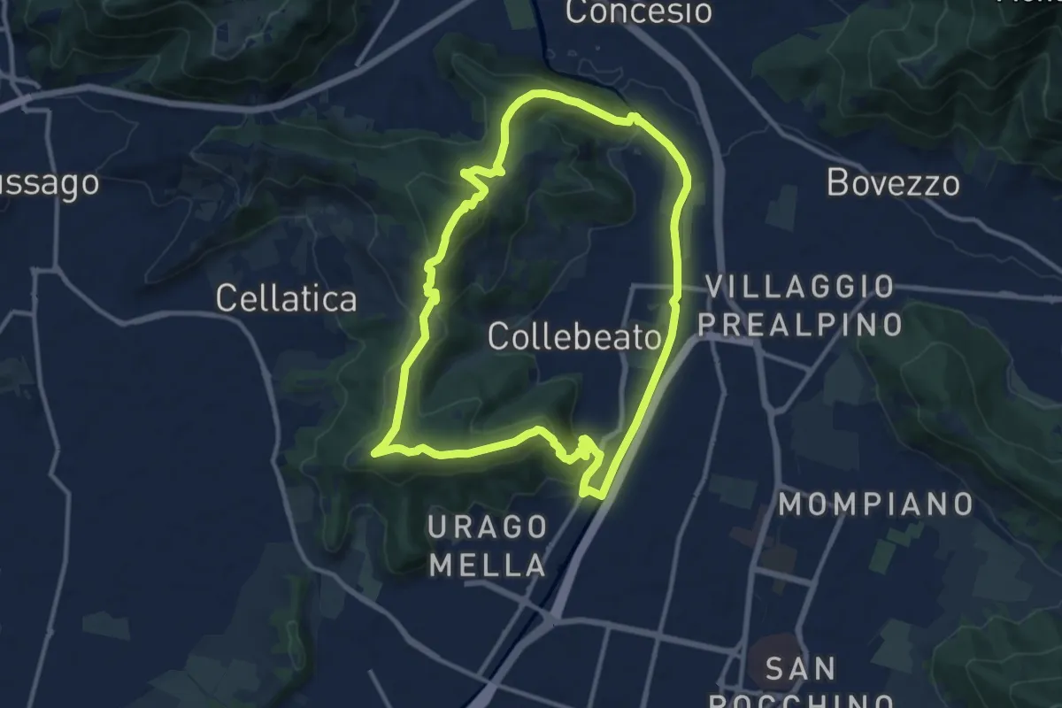
Demanding · Summit
Periplo di Collebeato - Sentiero del Gian (Gianpietro Nicolini)
11.3 km · ↑ 415 m · 3 h 44 min · 6 km away
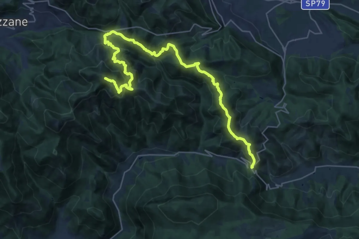
Expert · Summit
Caino (Villa Sera) – Colle di Sant'Eusebio
24.7 km · ↑ 1761 m · 9 h 39 min · 6 km away
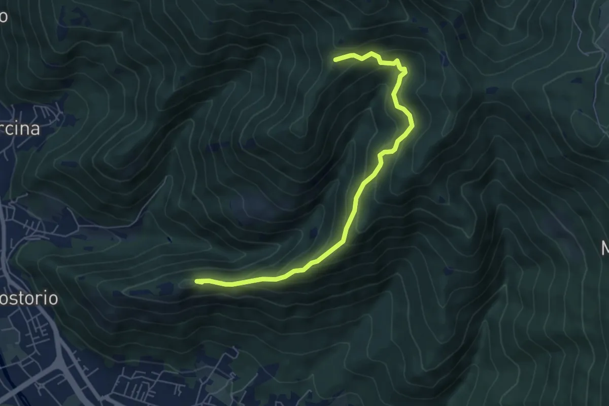
Medium · Summit
Concesio (Costorio) – Tesa del Condigolo (Innesto sentiero 378)
6.4 km · ↑ 468 m · 2 h 32 min · 6 km away
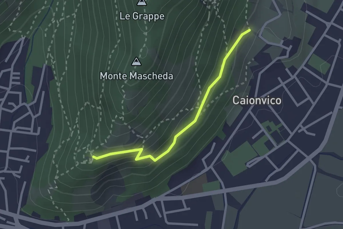
Medium · Trail
Sentiero della Ruta
2.1 km · ↑ 95 m · 42 min · 6 km away
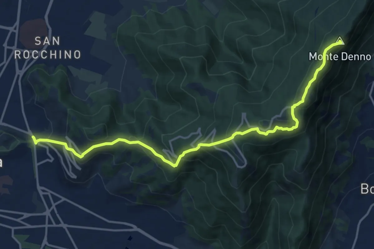
Medium · Summit
Sentiero 3V - Tappa 1a
13.1 km · ↑ 743 m · 4 h 42 min · 6 km away
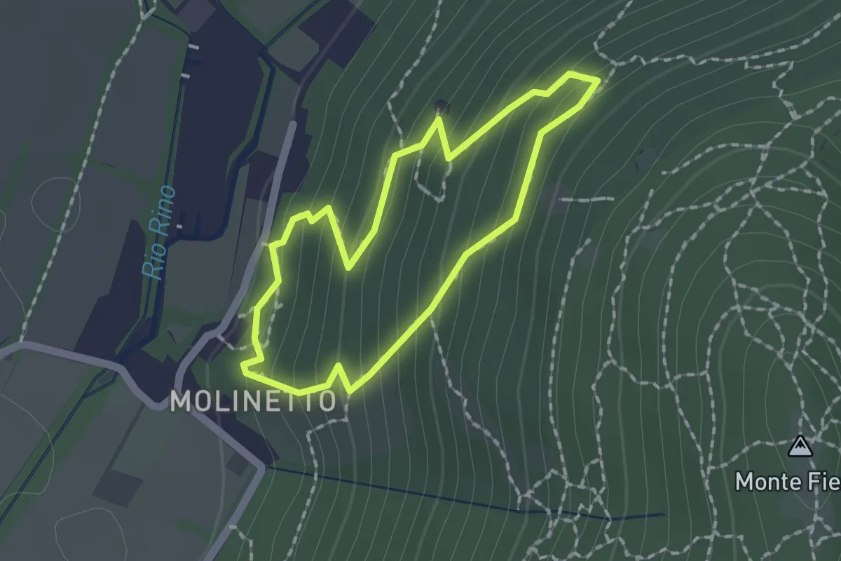
Demanding · Trail
Anello Molinetto di Botticno
1.5 km · ↑ 132 m · 39 min · 7 km away