Trails near Nembro
222 hikes starting within 15 km, nearest first.
Nearest first, page 2 of 5
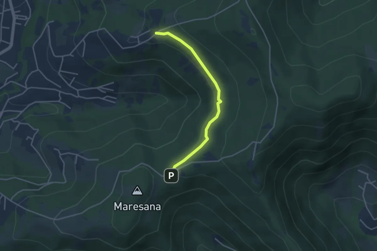
Easy · Trail
Maresana (Ponteranica) – Castello della Moretta (Ponteranica)
3.0 km · ↑ 63 m · 51 min · 6 km away
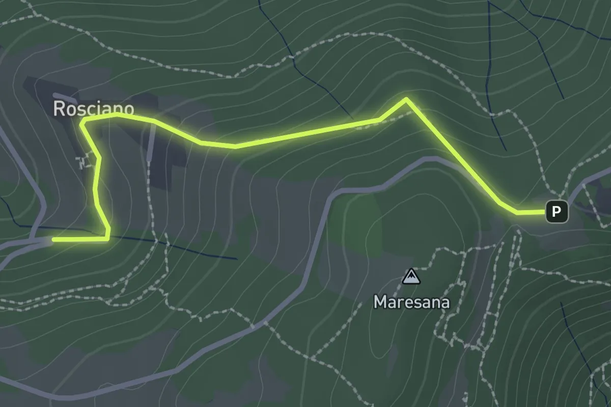
Easy · Trail
Rosciano (Ponteranica) – Maresana (Ponteranica)
2.6 km · ↑ 147 m · 55 min · 6 km away
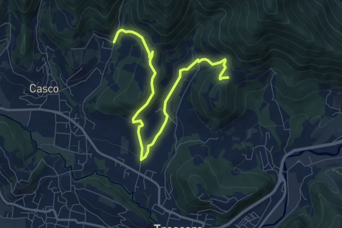
Medium · Trail
S. Ambrogio (Cenate Sopra) – Madonna del Mirabile (Luzzana)
9.2 km · ↑ 355 m · 2 h 56 min · 6 km away
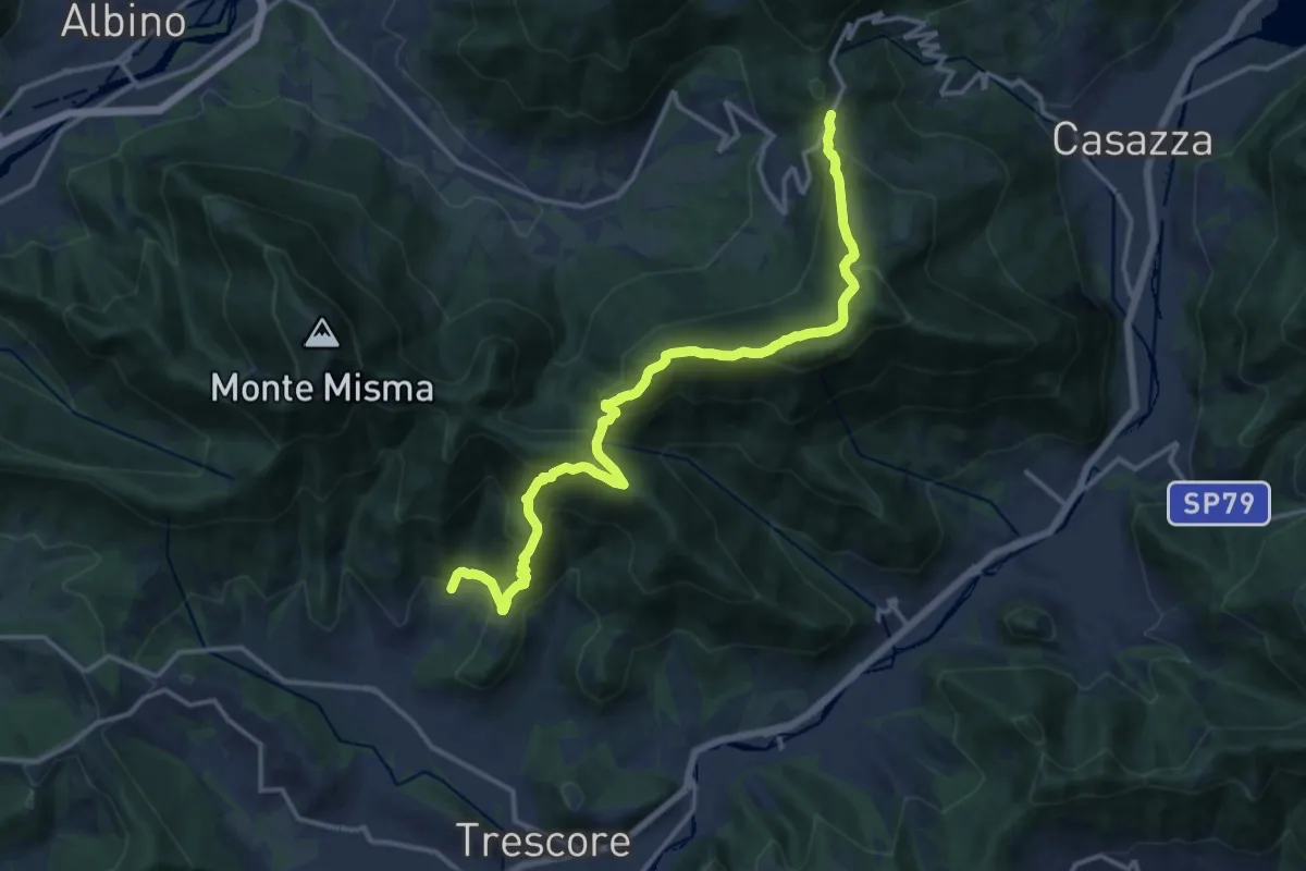
Demanding · Trail
S. Ambrogio (Cenate Sopra) – Colle Gallo
16.1 km · ↑ 1017 m · 6 h 1 min · 6 km away
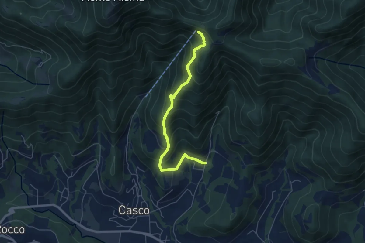
Medium · Cabin
S. Ambrogio (Cenate Sopra) – S. Maria del Misma
5.3 km · ↑ 477 m · 2 h 17 min · 6 km away
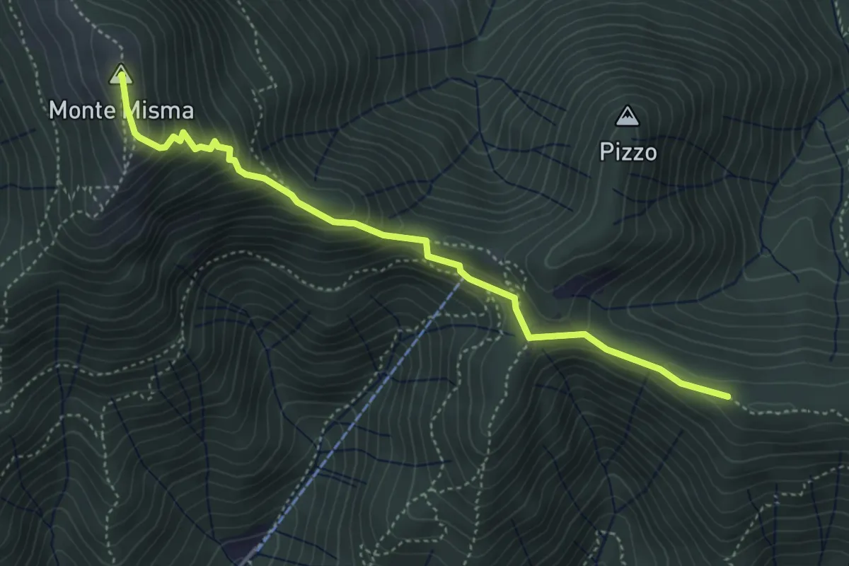
Medium · Summit
Bivio Corna Clima (Luzzana) – Monte Misma
4.5 km · ↑ 378 m · 1 h 53 min · 7 km away
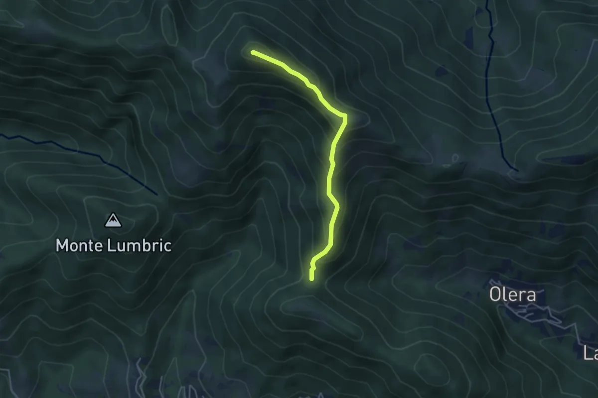
Medium · Summit
Forcella del Sorriso – Monte Canto Alto
3.6 km · ↑ 370 m · 1 h 39 min · 7 km away
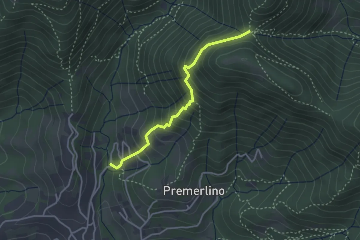
Medium · Trail
Catene (Sorisole) – Forcella del Sorriso
2.9 km · ↑ 309 m · 1 h 21 min · 7 km away
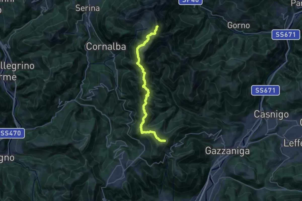
Expert · Summit
Ca' de Spi' (Gazzaniga) – Monte Alben
20.0 km · ↑ 1657 m · 8 h 19 min · 7 km away
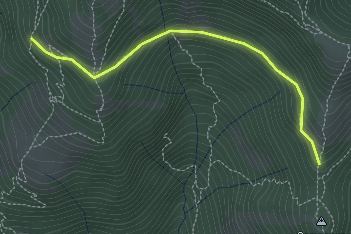
Medium · Trail
La Senna – Campanua
2.5 km · ↑ 151 m · 55 min · 7 km away
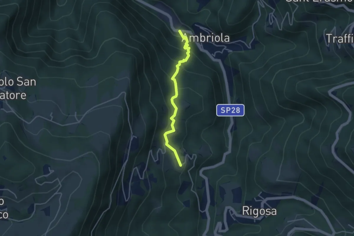
Medium · Trail
Ambriola – Sambusita (Chiesa)
3.3 km · ↑ 268 m · 1 h 21 min · 7 km away
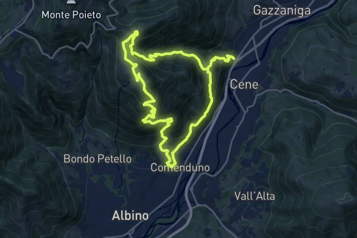
Demanding · Summit
Comenduno (Albino) – Comenduno (Albino)
11.1 km · ↑ 1121 m · 5 h 6 min · 7 km away
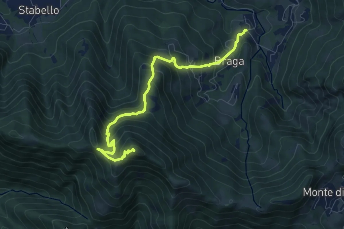
Medium · Summit
Poscante – Canto Alto
8.5 km · ↑ 775 m · 3 h 41 min · 7 km away
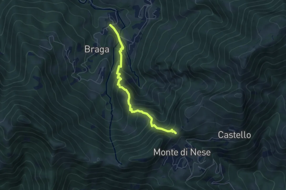
Medium · Trail
Poscante – Forcella di Monte di Nese
5.7 km · ↑ 465 m · 2 h 21 min · 7 km away
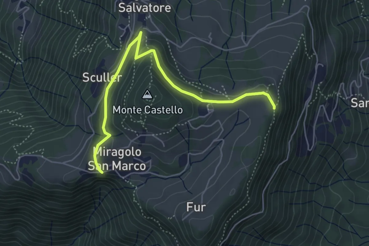
Medium · Trail
Miragolo San Marco – Incrocio H53
5.1 km · ↑ 160 m · 1 h 32 min · 7 km away
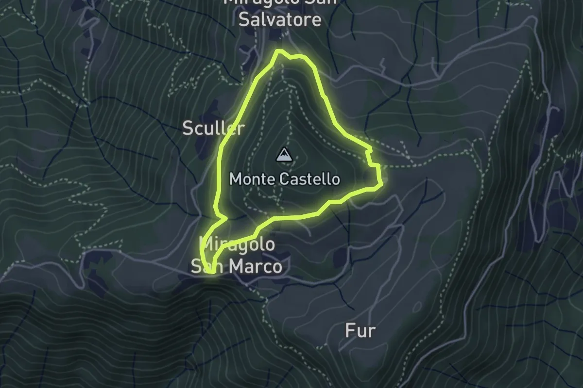
Easy · Trail
Giro del Monte Castello
2.9 km · ↑ 111 m · 58 min · 7 km away
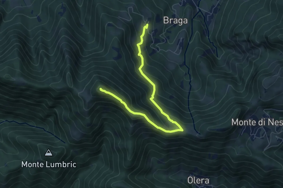
Medium · Summit
Cler (Sedrina) – Ripa (Poscante)
7.8 km · ↑ 573 m · 3 h 4 min · 7 km away
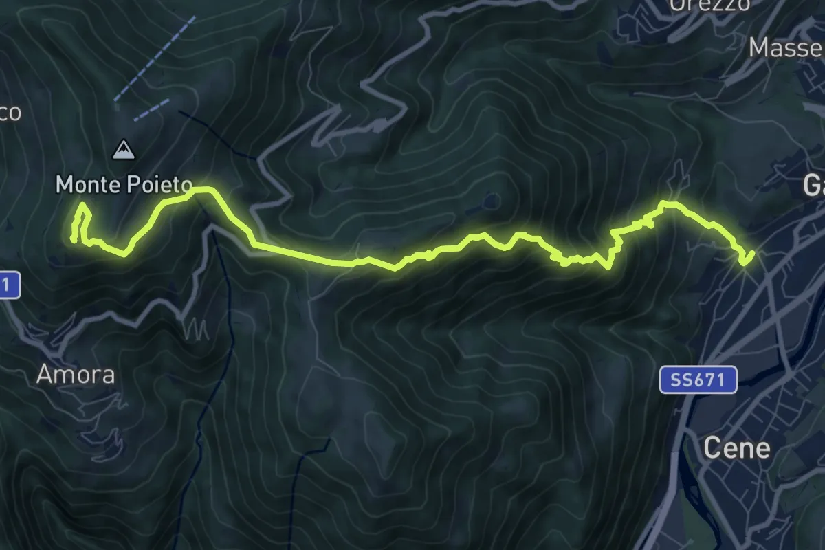
Demanding · Summit
Rova (Gazzaniga) – Monte Cornagera
10.9 km · ↑ 990 m · 4 h 43 min · 8 km away
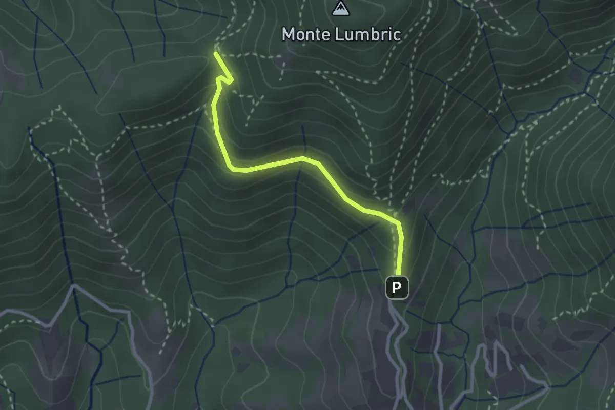
Easy · Trail
Pisgiu (Sorisole) – Forcella di Rua (Sorisole)
2.4 km · ↑ 157 m · 54 min · 8 km away
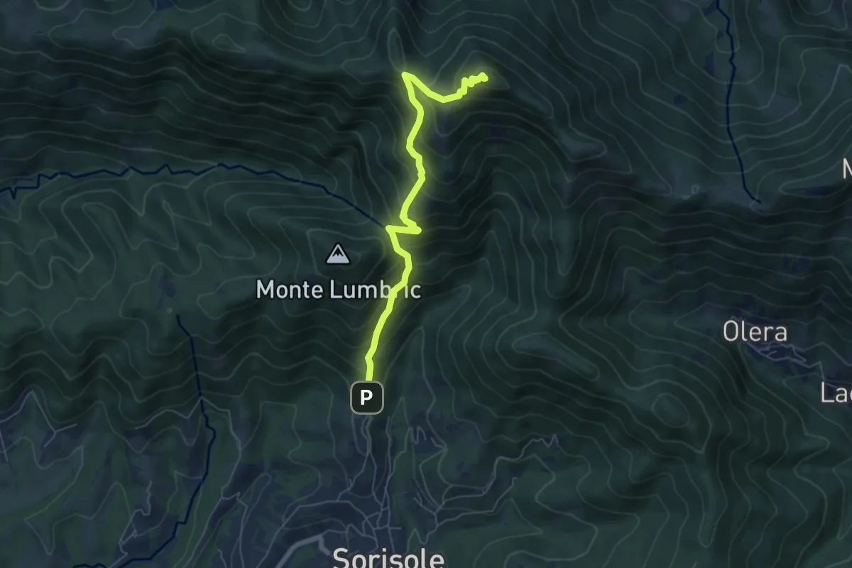
Demanding · Summit
Pisgiu – Monte Canto Alto
6.1 km · ↑ 609 m · 2 h 46 min · 8 km away
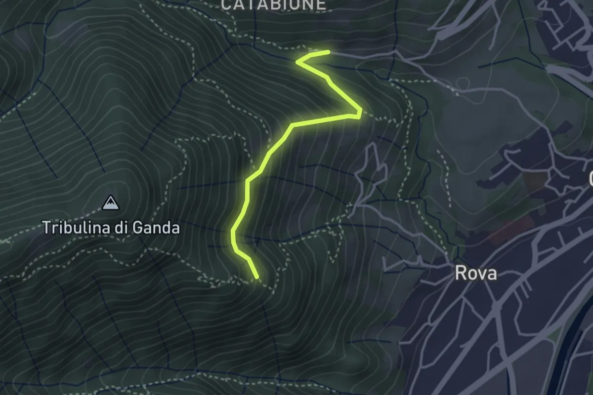
Medium · Trail
Incrocio 521 – Incrocio 522
2.9 km · ↑ 270 m · 1 h 16 min · 8 km away
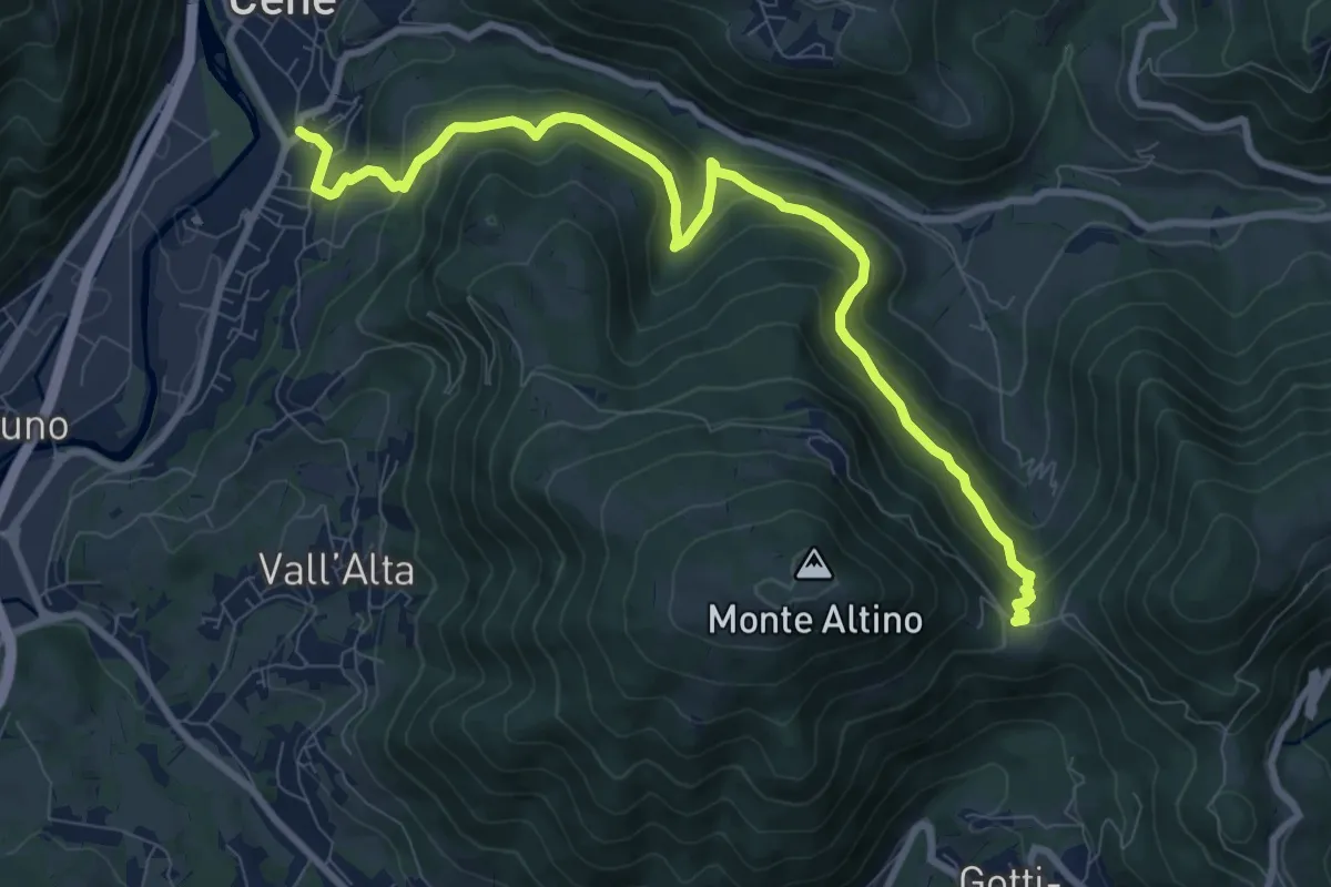
Medium · Trail
Cene – Pracc Molecc
10.3 km · ↑ 580 m · 3 h 41 min · 8 km away
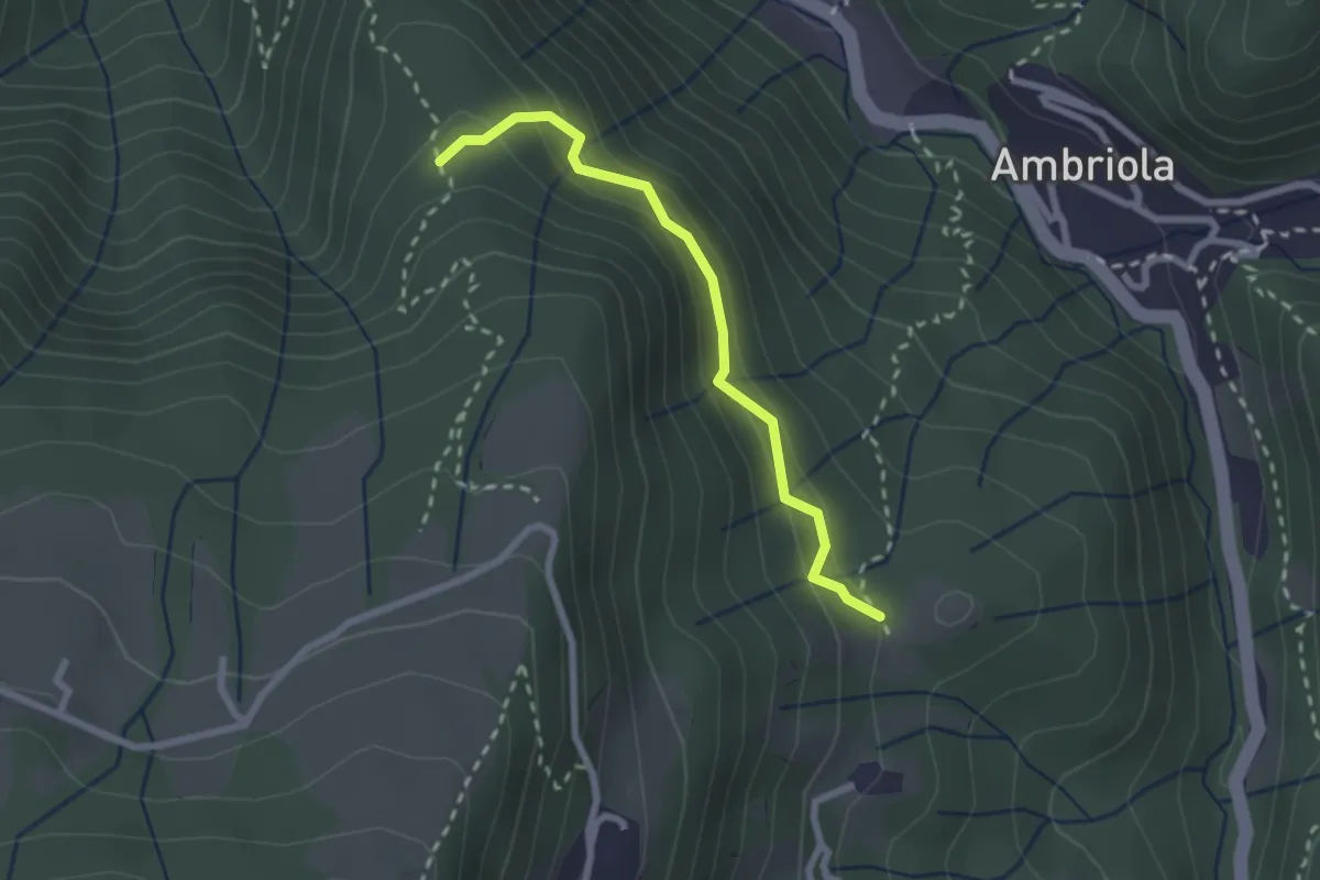
Demanding · Trail
Incrocio H51 – Incrocio H52
2.3 km · ↑ 197 m · 58 min · 8 km away
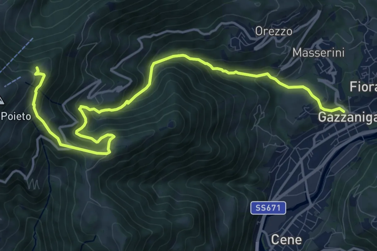
Demanding · Trail
Gazzaniga – Ca de Spi'
13.2 km · ↑ 890 m · 5 h 3 min · 8 km away
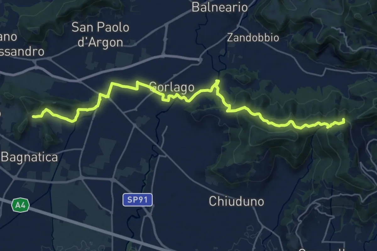
Medium · Summit
La Via delle Sorelle - Tappa 4
11.1 km · ↑ 373 m · 3 h 28 min · 8 km away
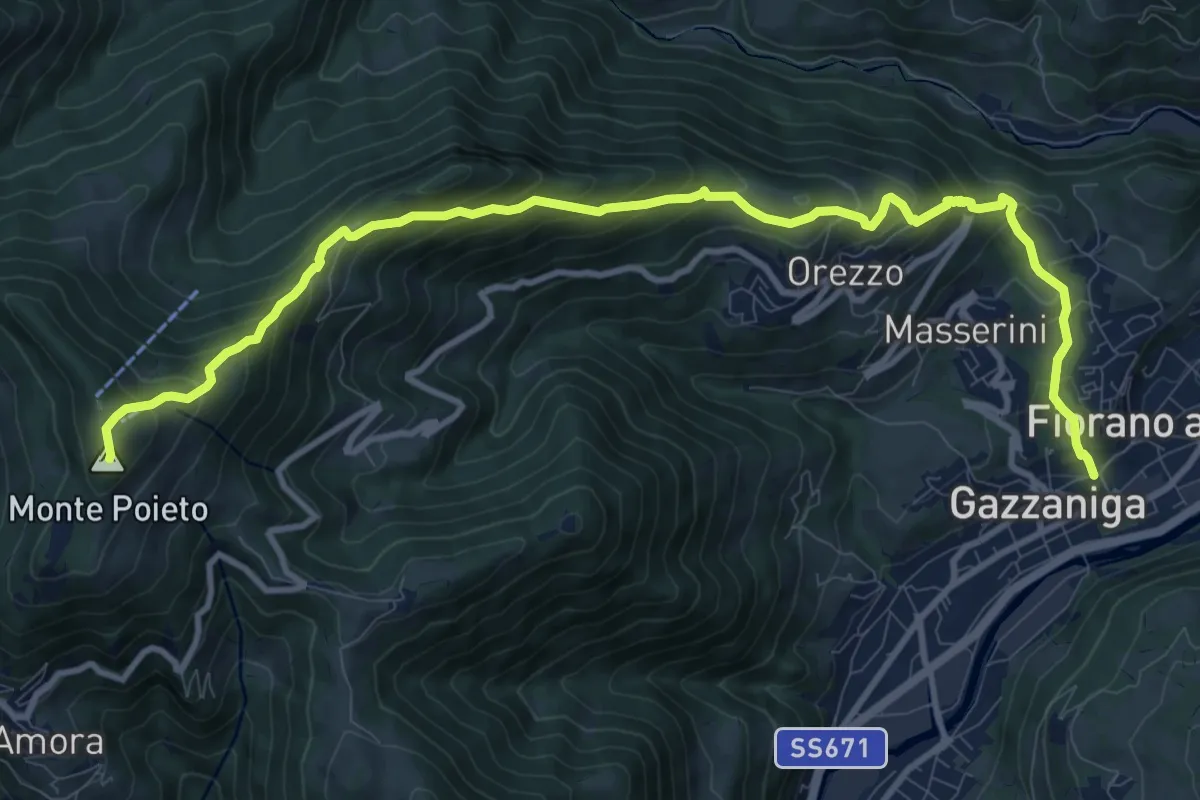
Demanding · Summit
Gazzaniga – Monte Poieto
12.6 km · ↑ 948 m · 5 h 2 min · 9 km away
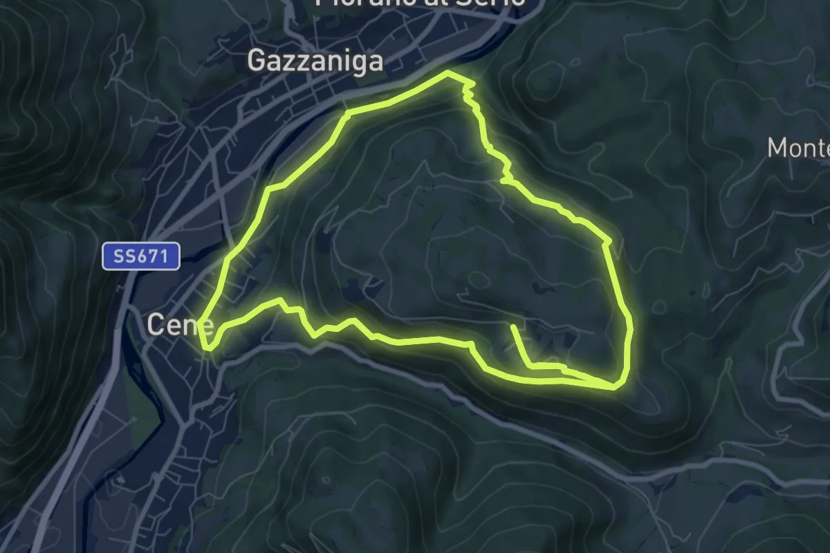
Medium · Summit
Giro del Monte Bue
8.9 km · ↑ 401 m · 3 h 6 min · 9 km away
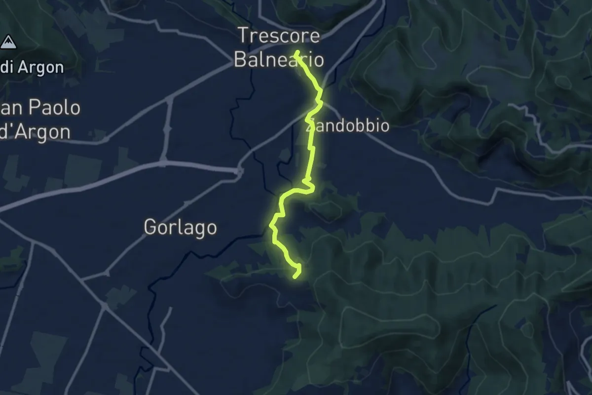
Easy · Trail
Trescore Balneario – Carobbio degli Angeli (incrocio 650)
7.6 km · ↑ 174 m · 2 h 10 min · 9 km away
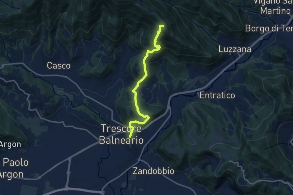
Medium · Summit
Trescore Balneario – Pizzo Casgnola
8.8 km · ↑ 574 m · 3 h 19 min · 9 km away
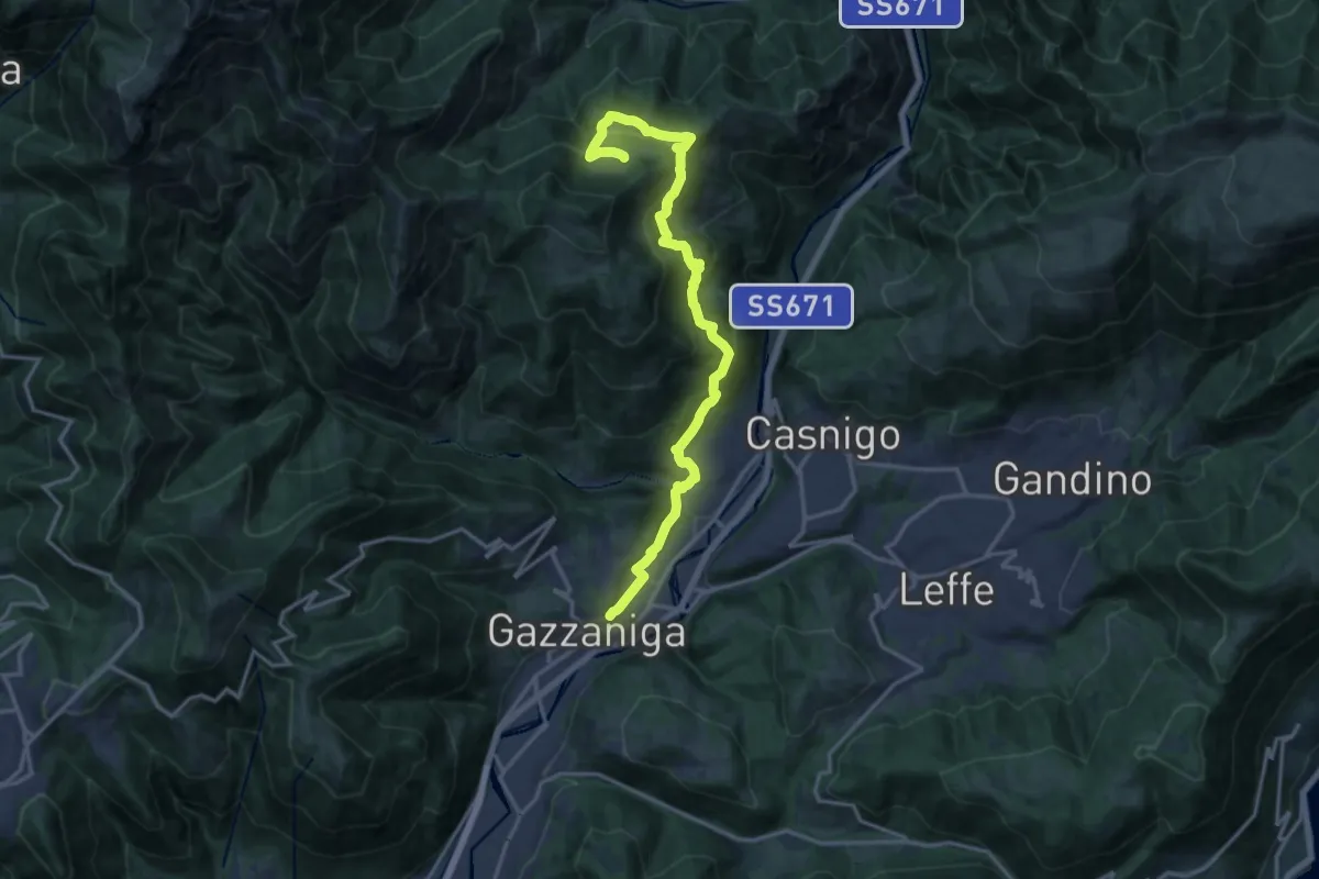
Demanding · Trail
Sentiero di Honio
17.7 km · ↑ 940 m · 6 h 13 min · 9 km away
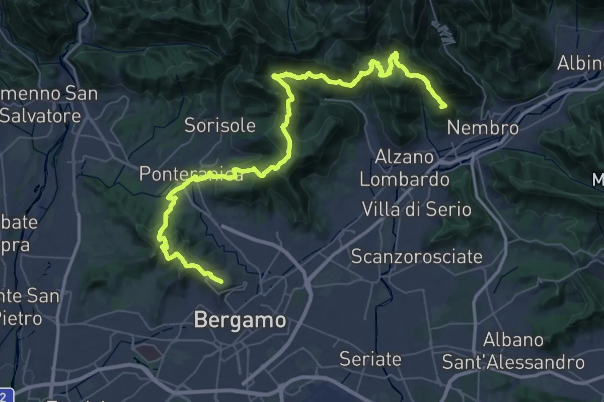
Demanding · Summit
La Via delle Sorelle - Tappa 6 Traversa
19.8 km · ↑ 1016 m · 7 h 3 min · 9 km away
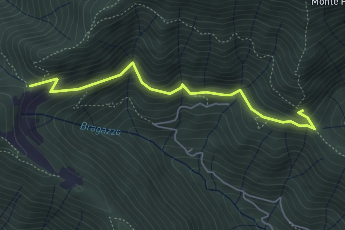
Medium · Trail
Fienile Piazzolo (Vigano San Martino) – Prati Alti
4.5 km · ↑ 340 m · 1 h 48 min · 9 km away
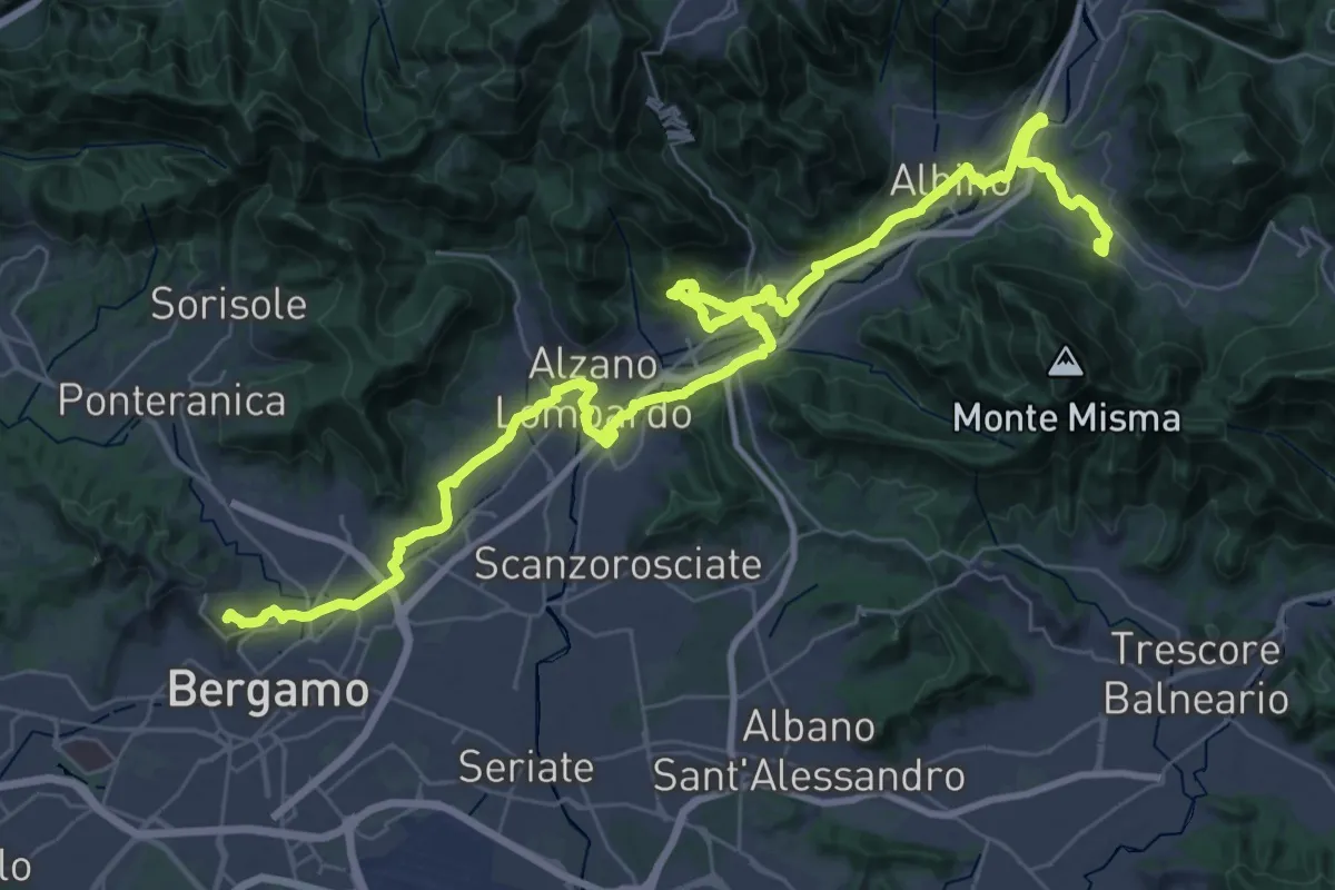
Demanding · Trail
Alta Via delle Grazie - Tappa 13
25.6 km · ↑ 413 m · 7 h 17 min · 9 km away
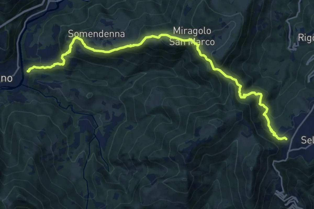
Demanding · Trail
Selvino – Zogno
16.8 km · ↑ 1152 m · 6 h 28 min · 9 km away
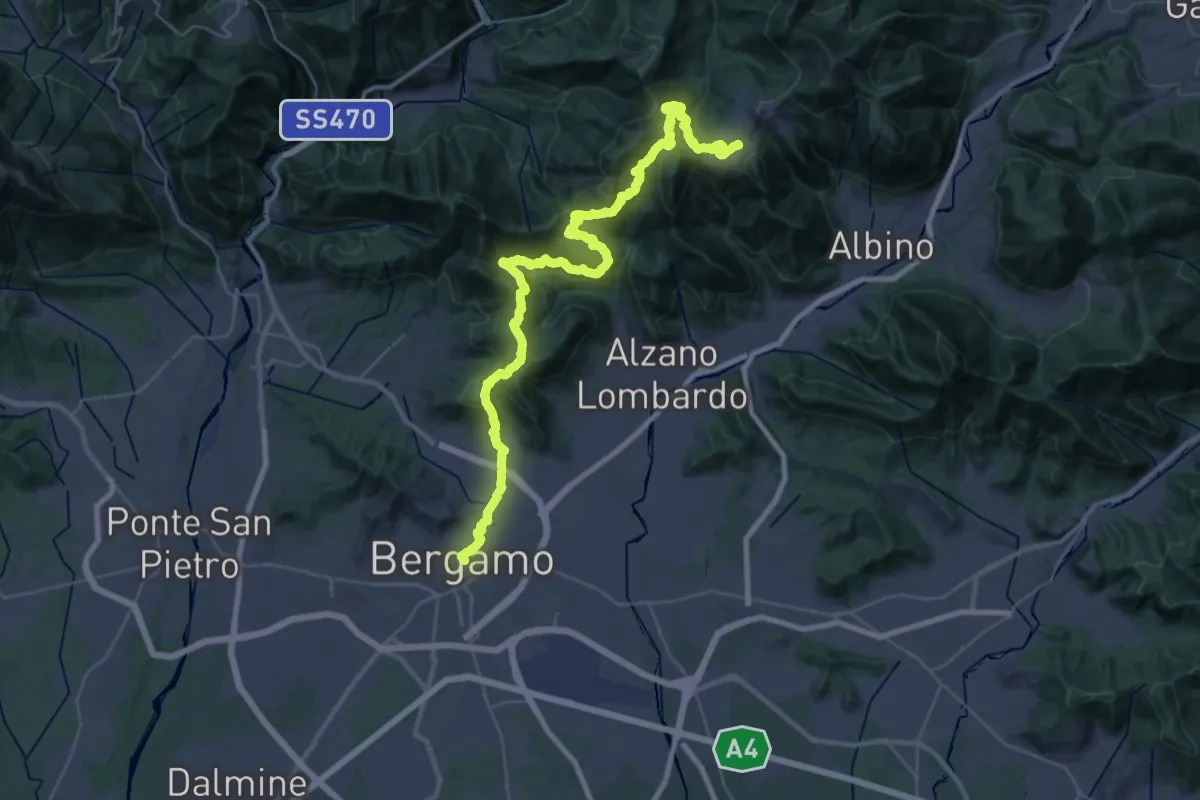
Demanding · Trail
Alta Via delle Grazie - Tappa 1
22.4 km · ↑ 1546 m · 8 h 35 min · 9 km away
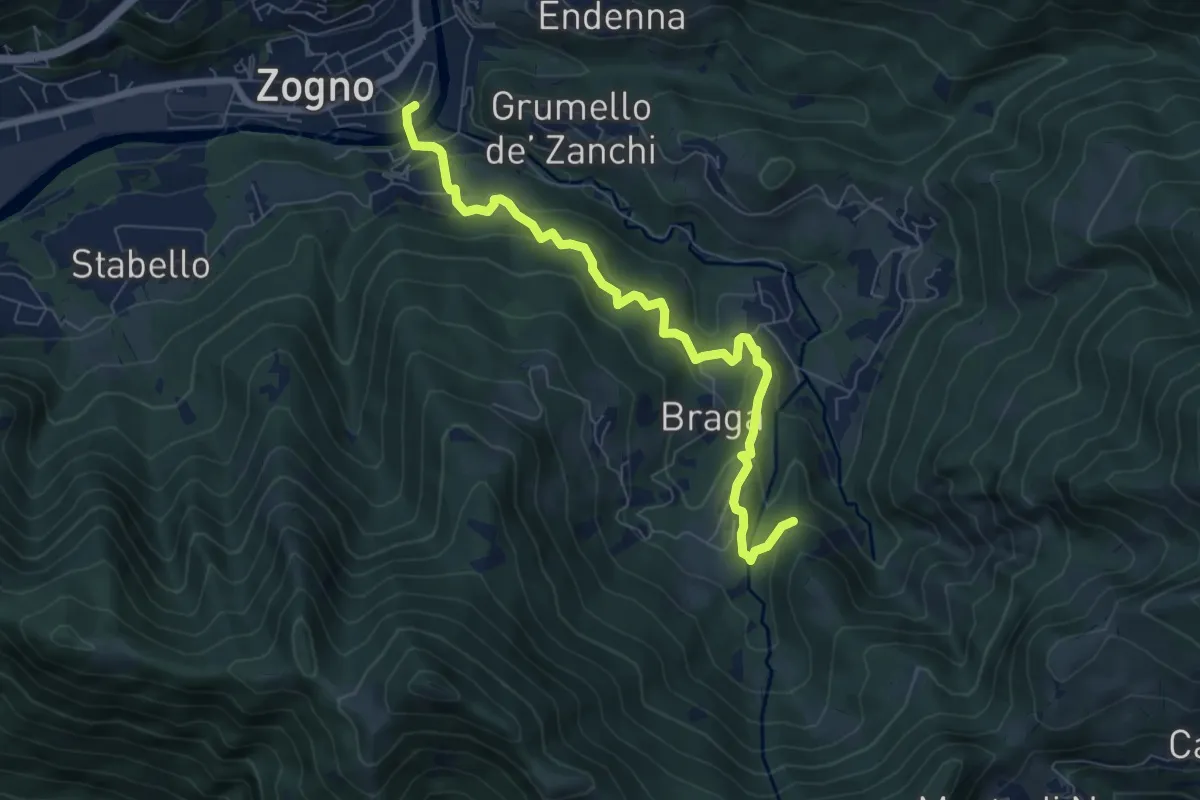
Medium · Trail
La via delle Castagne
7.6 km · ↑ 390 m · 2 h 38 min · 9 km away
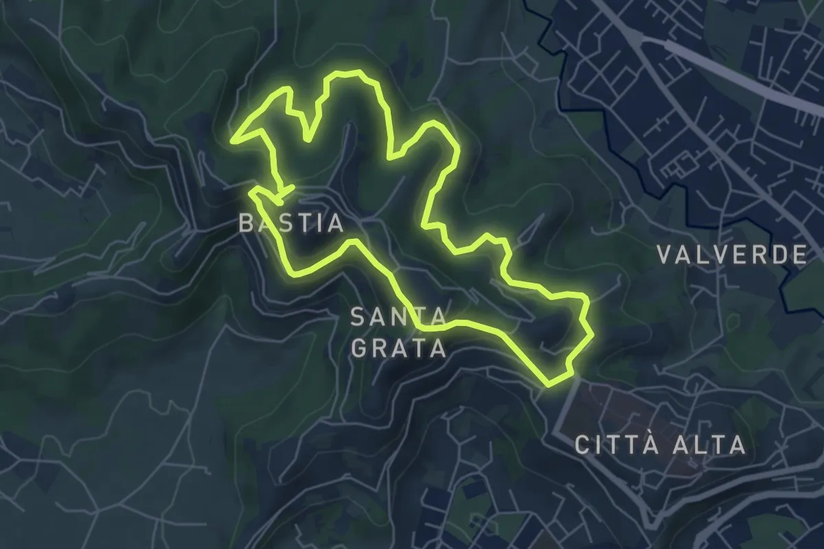
Easy · Summit
Le Vie del Verde (Itinerario 2)
6.0 km · ↑ 282 m · 2 h 6 min · 9 km away
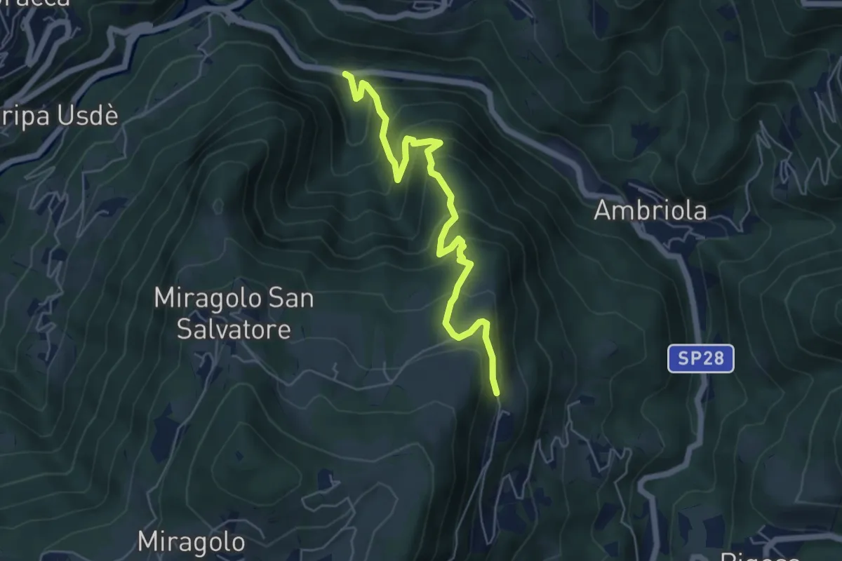
Medium · Trail
Algua – Sambusita alta (Case di Sopra)
5.6 km · ↑ 528 m · 2 h 28 min · 9 km away
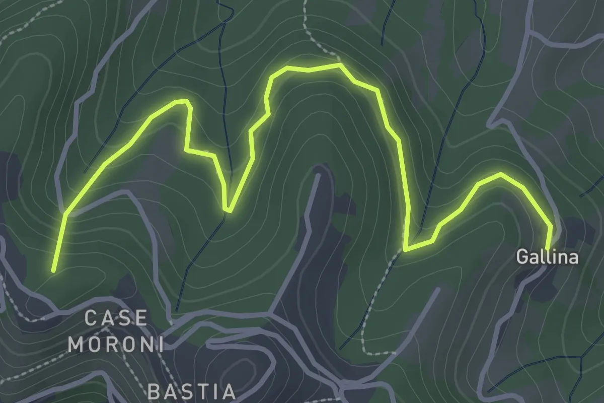
Easy · Summit
Sentiero dei Vasi
3.8 km · ↑ 252 m · 1 h 27 min · 9 km away
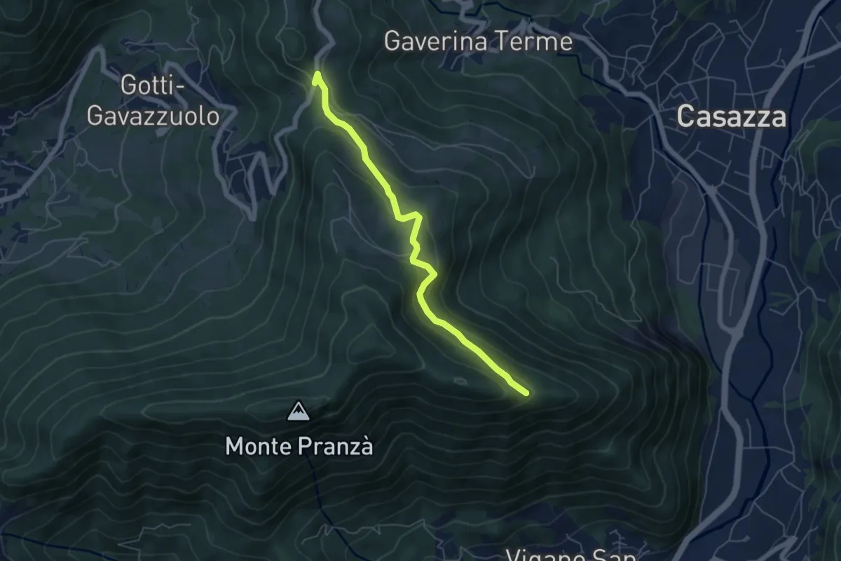
Easy · Trail
Colle Gallo (Gaverina Terme) – Cesulì
5.5 km · ↑ 257 m · 1 h 51 min · 9 km away
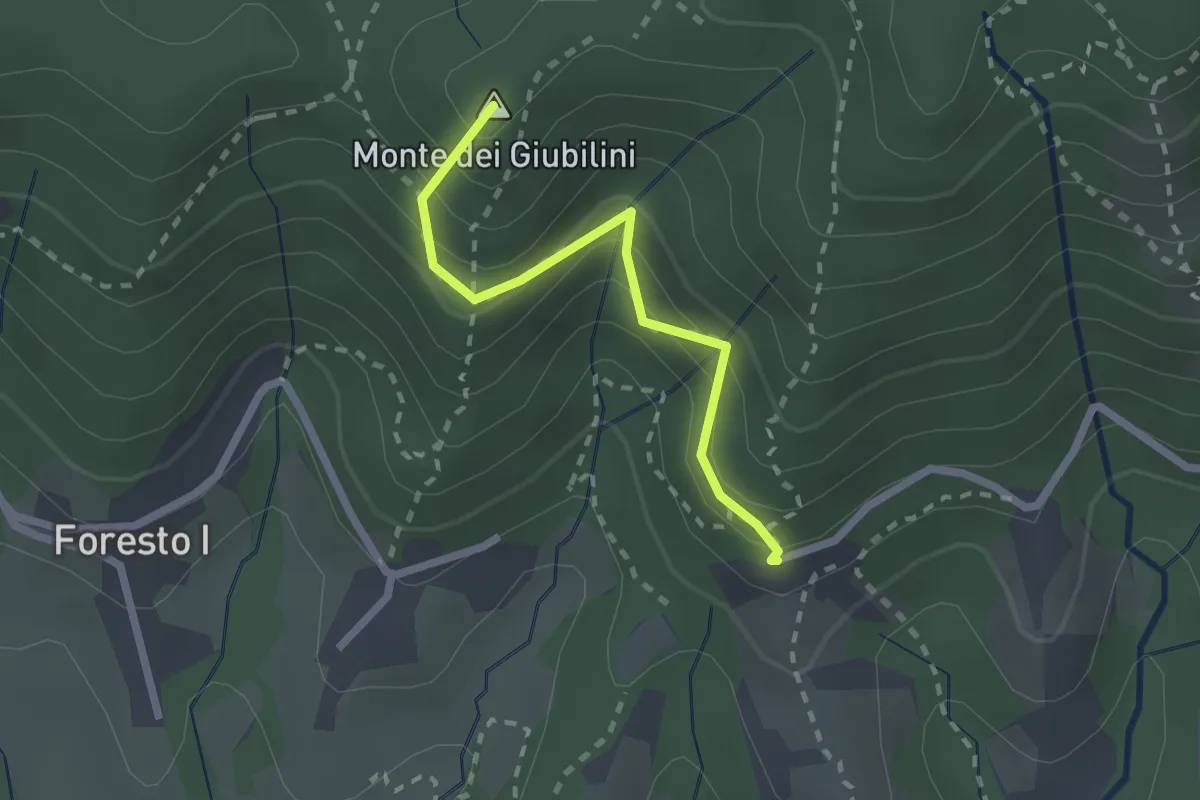
Easy · Summit
Boscalgisi – Zappel d'Erba
2.1 km · ↑ 212 m · 58 min · 9 km away
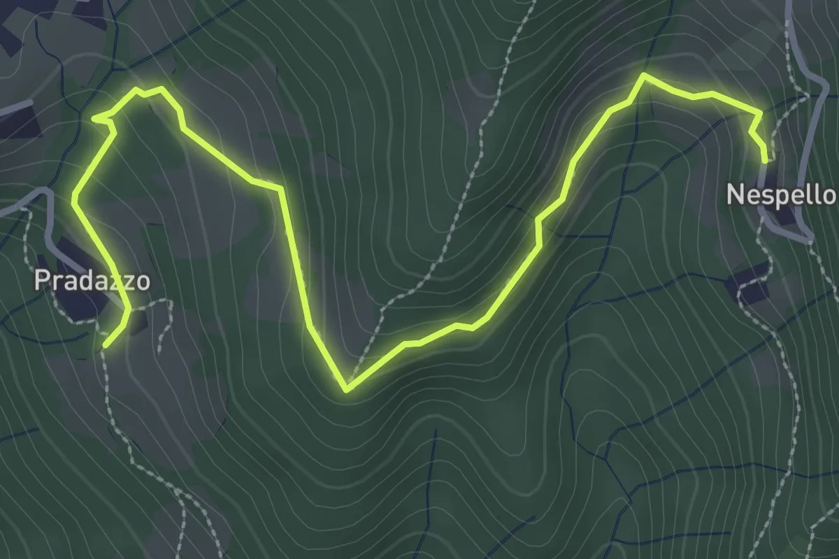
Medium · Trail
Via Mercatorum - Variante Ascensione
3.8 km · ↑ 188 m · 1 h 18 min · 9 km away
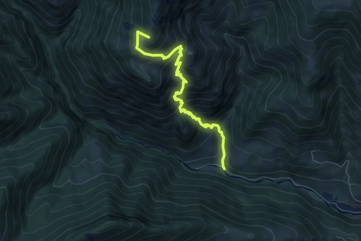
Medium · Summit
Vertova – Passo di Bliben
6.5 km · ↑ 709 m · 3 h 4 min · 9 km away
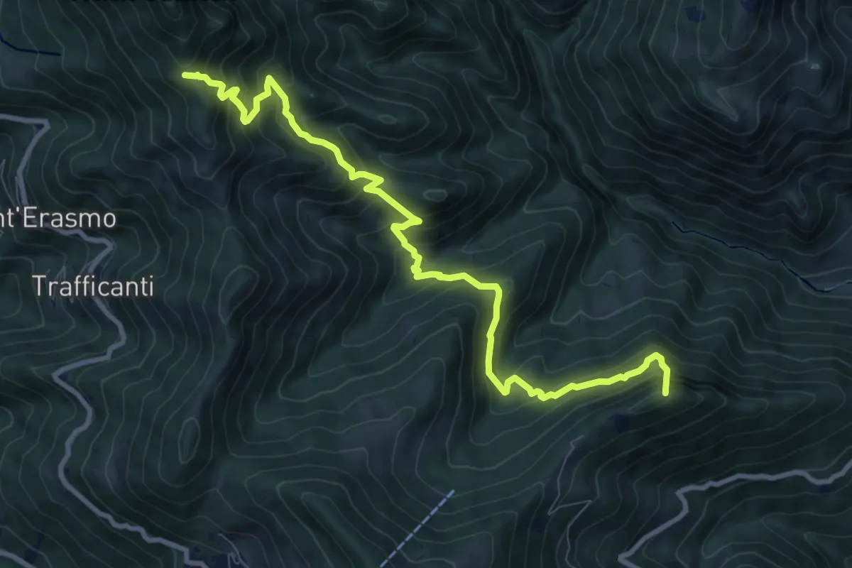
Demanding · Summit
Os-cioel (Orezzo) – Incrocio 519
10.4 km · ↑ 1063 m · 4 h 45 min · 9 km away
Demanding · Trail
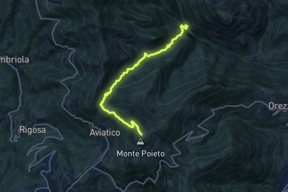
Val Vertova – Monte Poieto
10.0 km · ↑ 782 m · 4 h 4 min · 9 km away
Easy · Trail
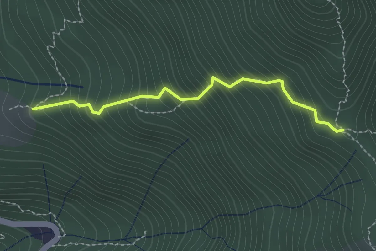
Stalla Aral – Incrocio sentiero 519
2.0 km · ↑ 300 m · 1 h 7 min · 9 km away
Medium · Summit
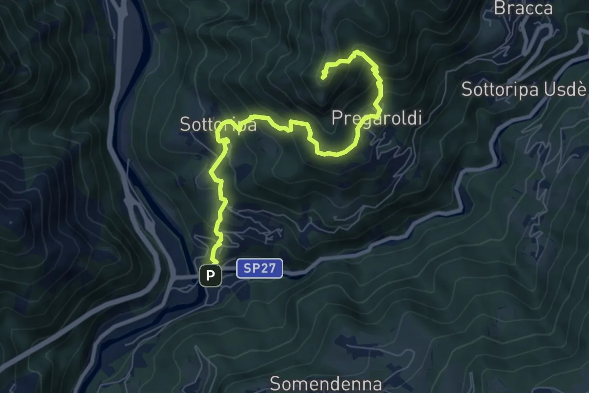
Ambria – Pizzo di Spino
7.5 km · ↑ 700 m · 3 h 17 min · 9 km away
Medium · Trail
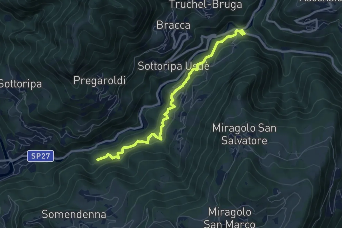
Strada Birocciabile
7.0 km · ↑ 440 m · 2 h 36 min · 9 km away