Trails near Nembro
222 hikes starting within 15 km, nearest first.
Nearest first, page 3 of 5
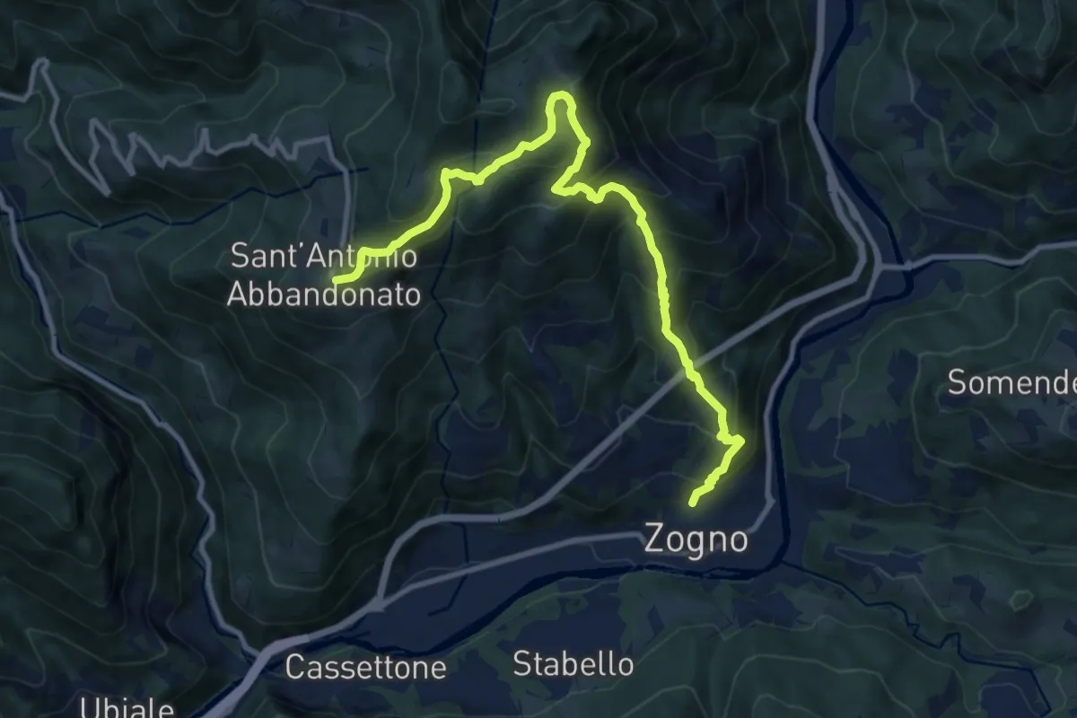
Demanding · Trail
Zogno – S. Antonio Abbandonato
11.8 km · ↑ 1031 m · 5 h 1 min · 9 km away
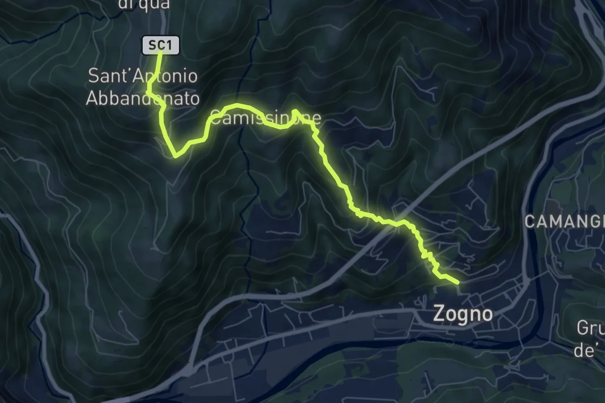
Medium · Trail
Zogno – Castignola
8.2 km · ↑ 688 m · 3 h 25 min · 9 km away
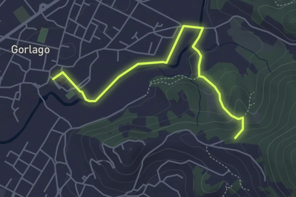
Easy · Trail
Gorlago – Incrocio 650
4.7 km · ↑ 115 m · 1 h 22 min · 9 km away
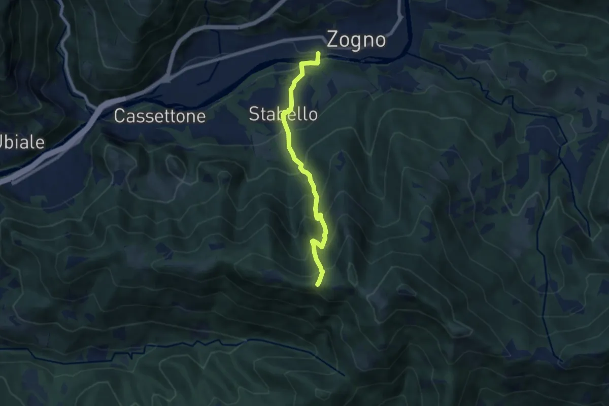
Demanding · Trail
Zogno – Casèl (incrocio 507)
6.1 km · ↑ 672 m · 2 h 54 min · 9 km away
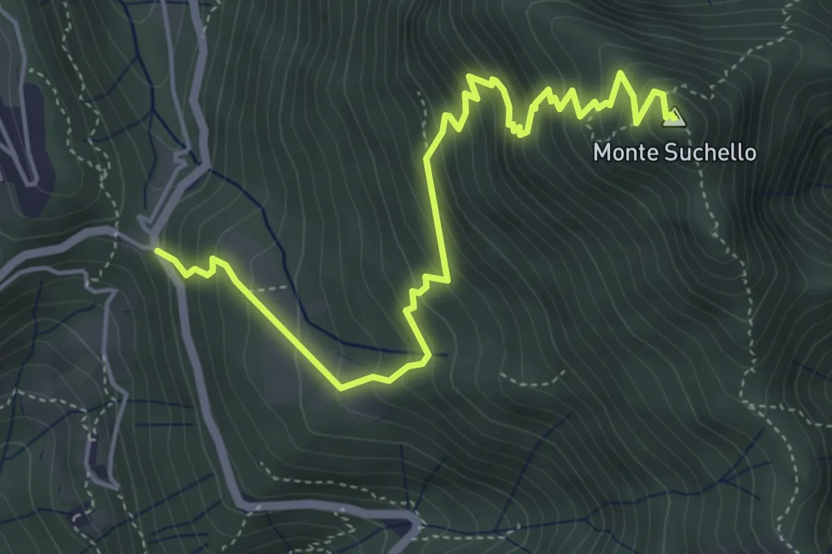
Medium · Summit
Costa Serina – Monte Suchello
5.5 km · ↑ 618 m · 2 h 39 min · 9 km away
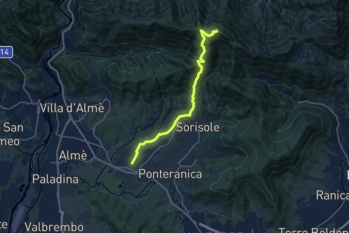
Demanding · Summit
Attacco al Canto Alto
12.5 km · ↑ 818 m · 4 h 44 min · 10 km away
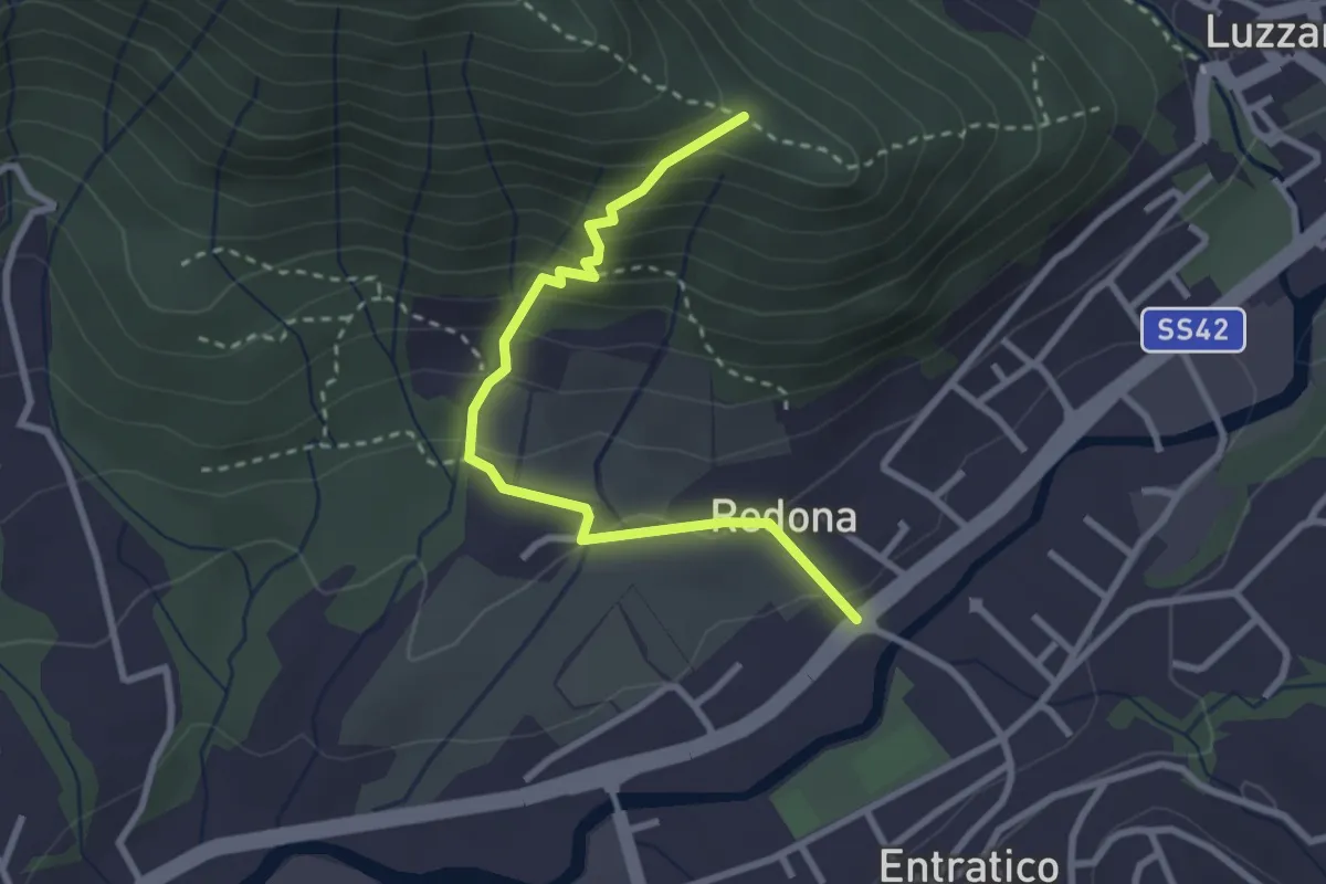
Medium · Trail
Redona (Entratico) – Costa del Colle (incrocio 611)
2.9 km · ↑ 245 m · 1 h 13 min · 10 km away
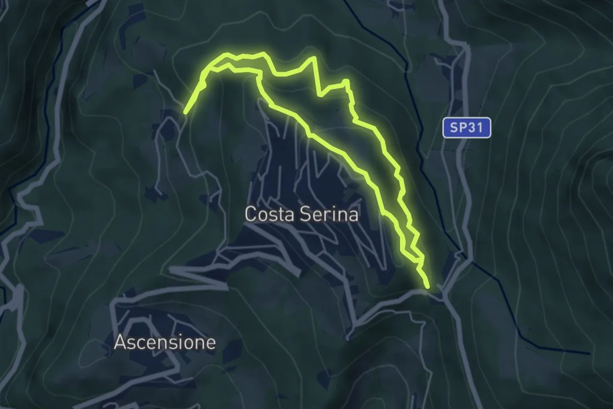
Medium · Trail
Sentiero Rosso
4.6 km · ↑ 352 m · 1 h 54 min · 10 km away
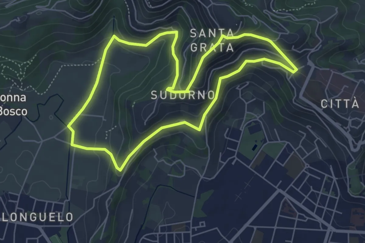
Easy · Trail
Le Vie del Verde (Itinerario 1)
5.3 km · ↑ 246 m · 1 h 52 min · 10 km away
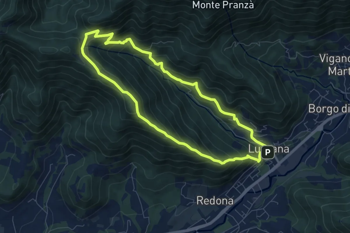
Medium · Summit
Luzzana – Luzzana
7.3 km · ↑ 506 m · 2 h 55 min · 10 km away
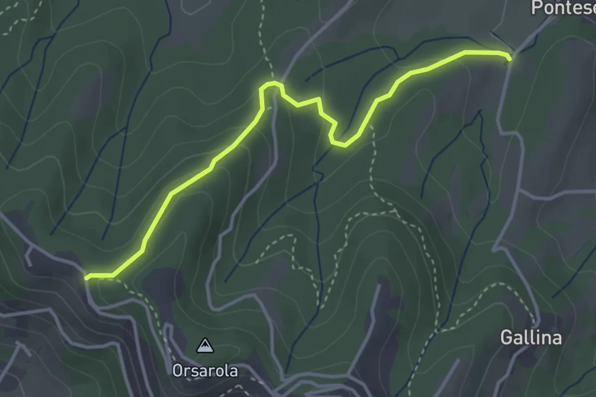
Demanding · Trail
Via Castagneta – Colle dei Roccoli
3.5 km · ↑ 145 m · 1 h 9 min · 10 km away
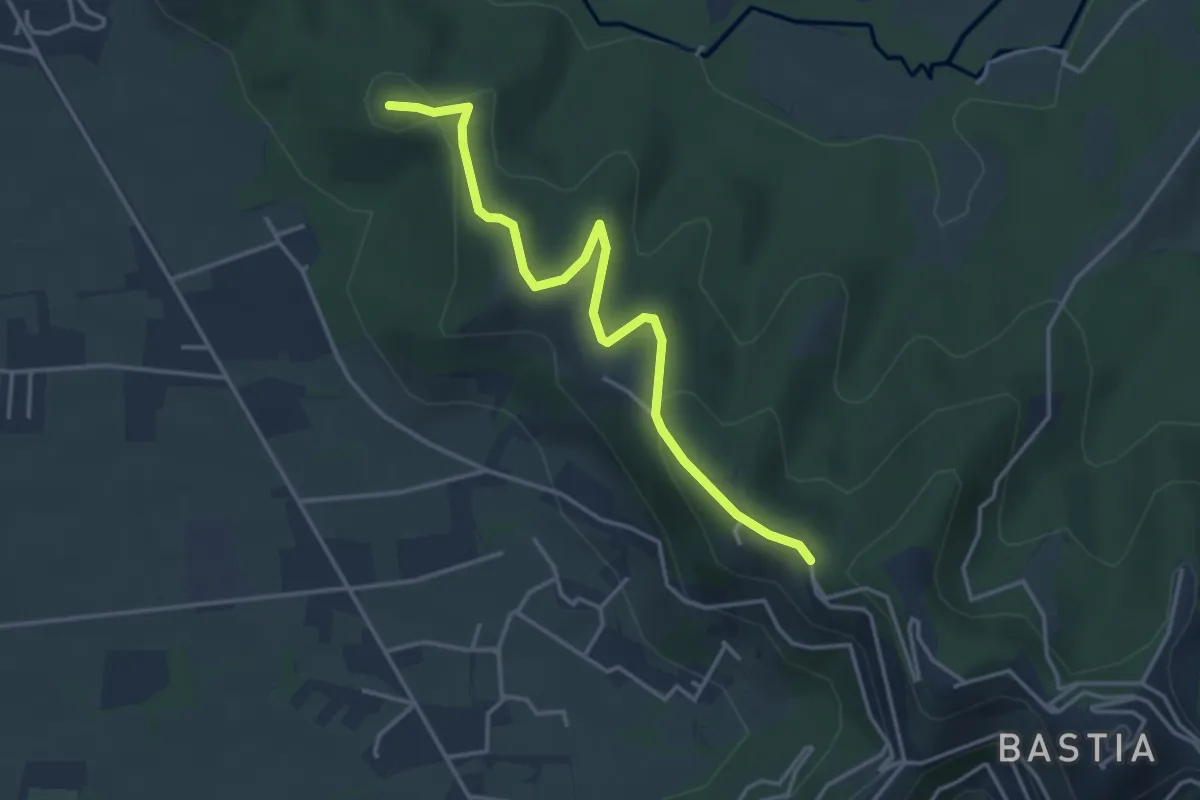
Easy · Summit
Santuario di Sombreno (Paladina) – Colle dei Roccoli (Bergamo)
4.0 km · ↑ 110 m · 1 h 11 min · 10 km away
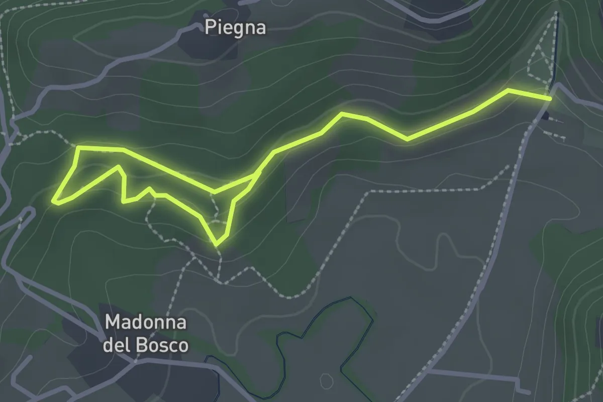
Easy · Trail
Bosco dell'Allegrezza
3.6 km · ↑ 103 m · 1 h 4 min · 10 km away
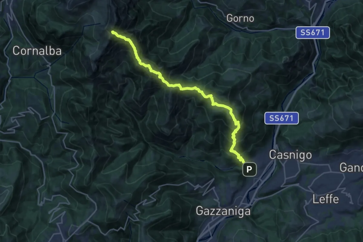
Demanding · Summit
Vertova – Cima Campelli
20.8 km · ↑ 1808 m · 8 h 50 min · 10 km away
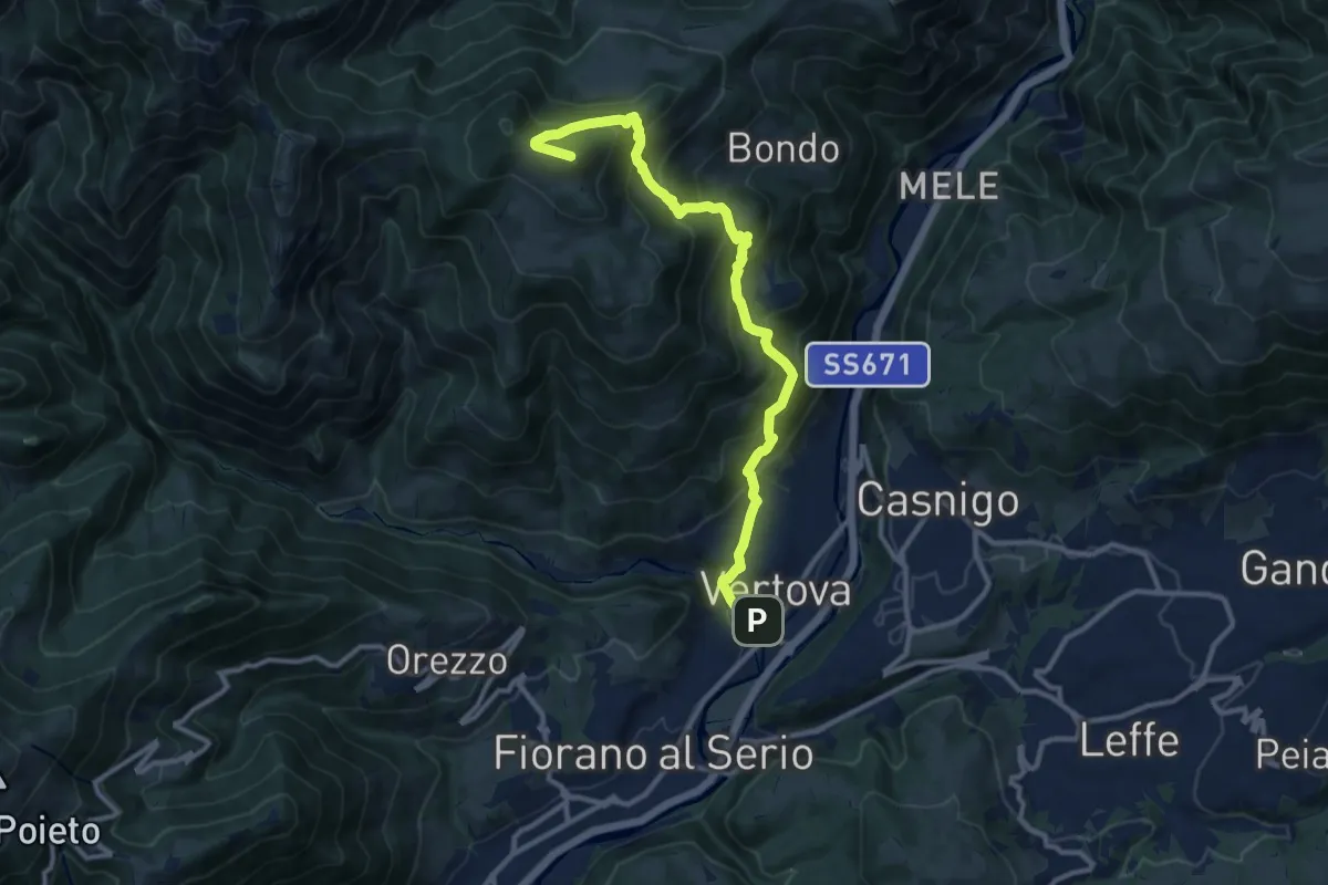
Demanding · Summit
Il Sentiero di San Patrizio
12.0 km · ↑ 934 m · 4 h 51 min · 10 km away
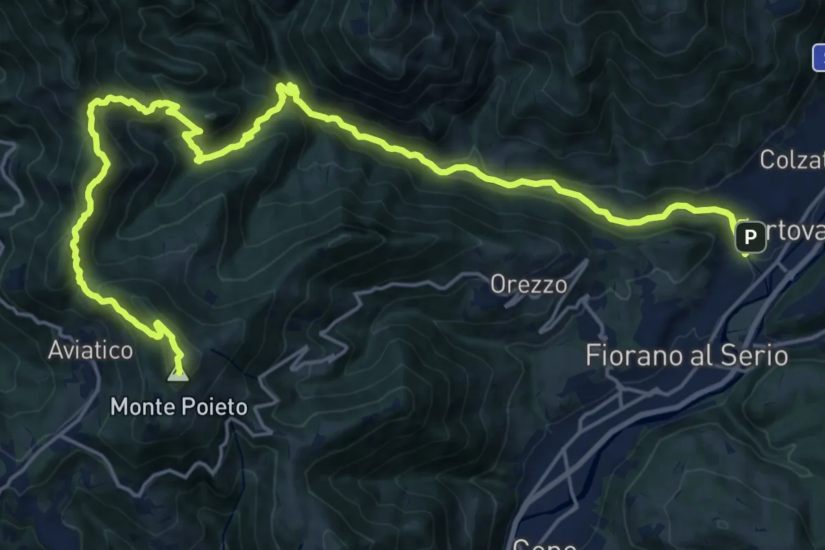
Demanding · Summit
Alta Via delle Grazie - Tappa 2
25.0 km · ↑ 1415 m · 8 h 59 min · 10 km away
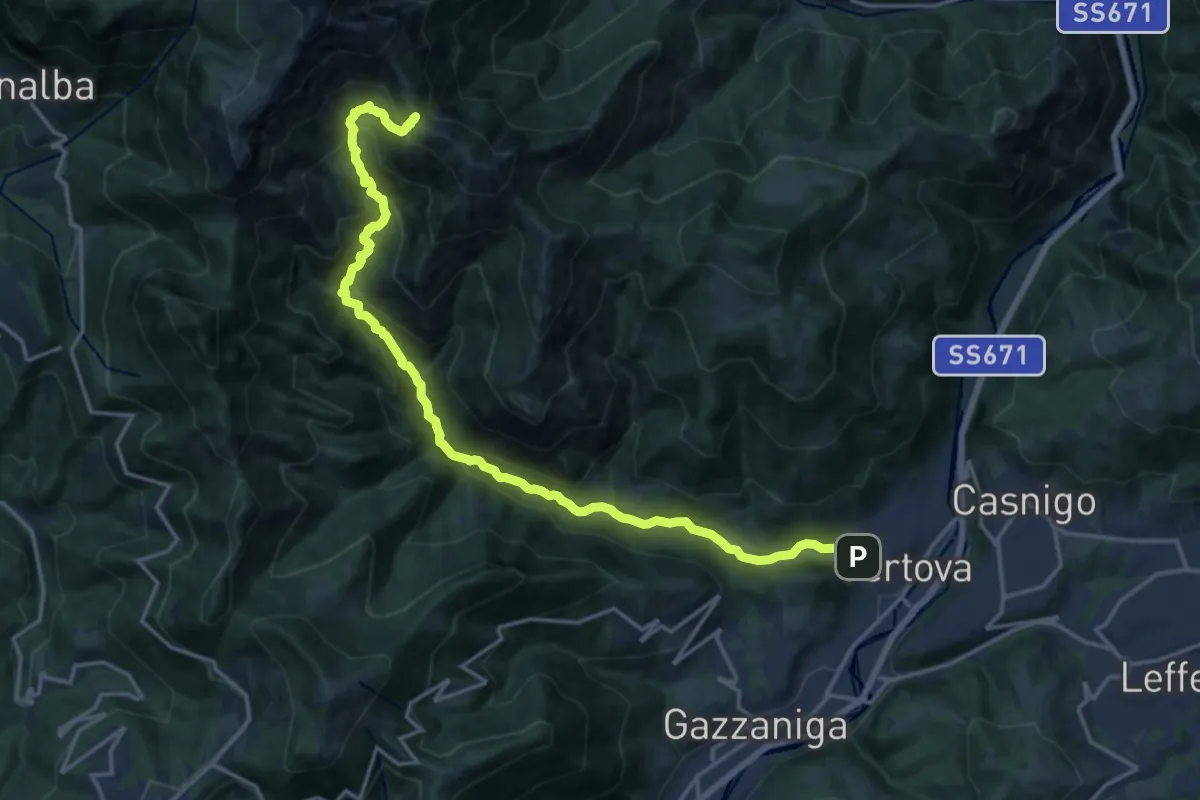
Demanding · Cabin
Vertova – Bivacco Testa
19.1 km · ↑ 1189 m · 7 h 5 min · 10 km away
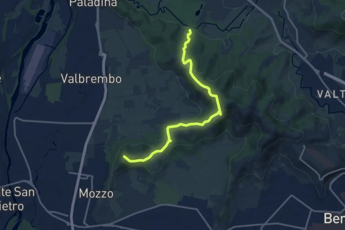
Medium · Summit
Traccia Partigiana
9.0 km · ↑ 351 m · 2 h 54 min · 10 km away
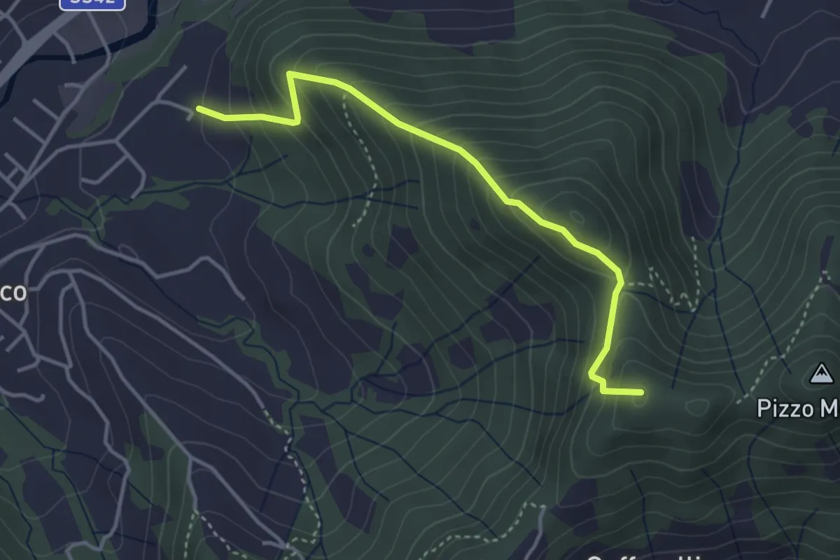
Medium · Summit
Maico (Entratico) – Il Casino (Foresto Sparso)
3.7 km · ↑ 394 m · 1 h 44 min · 10 km away
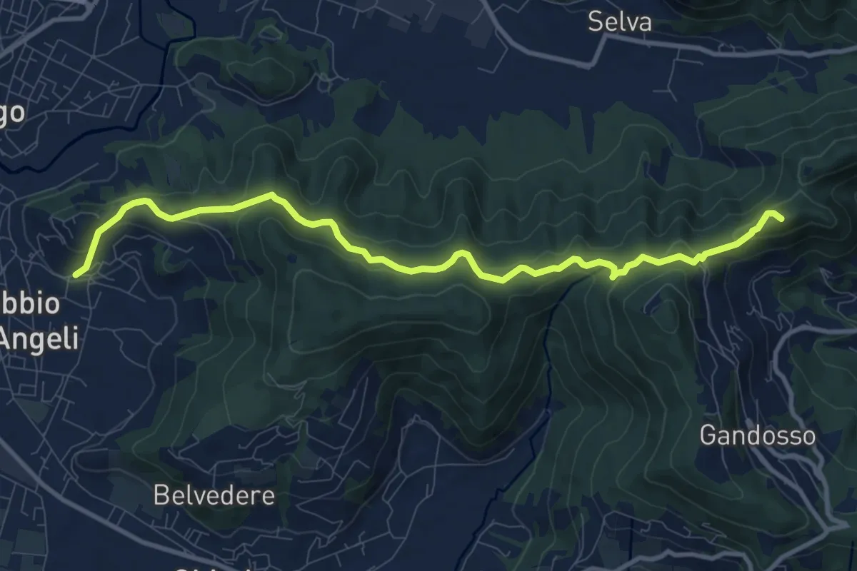
Medium · Summit
Carobbio degli Angeli – San Giovanni delle Formiche
10.6 km · ↑ 442 m · 3 h 27 min · 10 km away
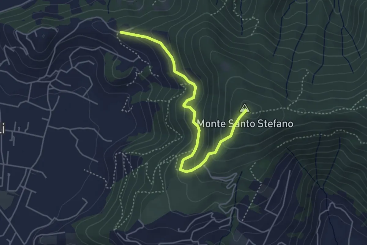
Medium · Summit
Duria – Boca di senter
4.3 km · ↑ 266 m · 1 h 35 min · 10 km away
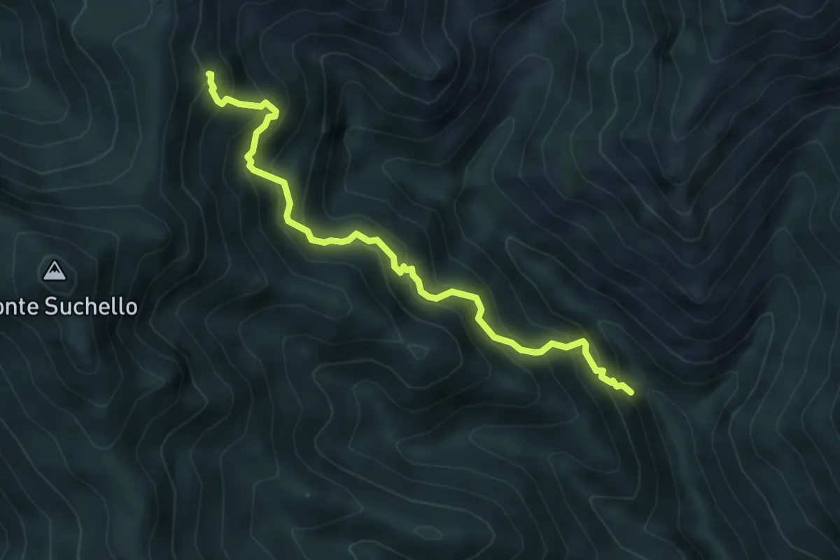
Medium · Trail
Val Vertova – Colle di Barbata
5.0 km · ↑ 660 m · 2 h 36 min · 10 km away
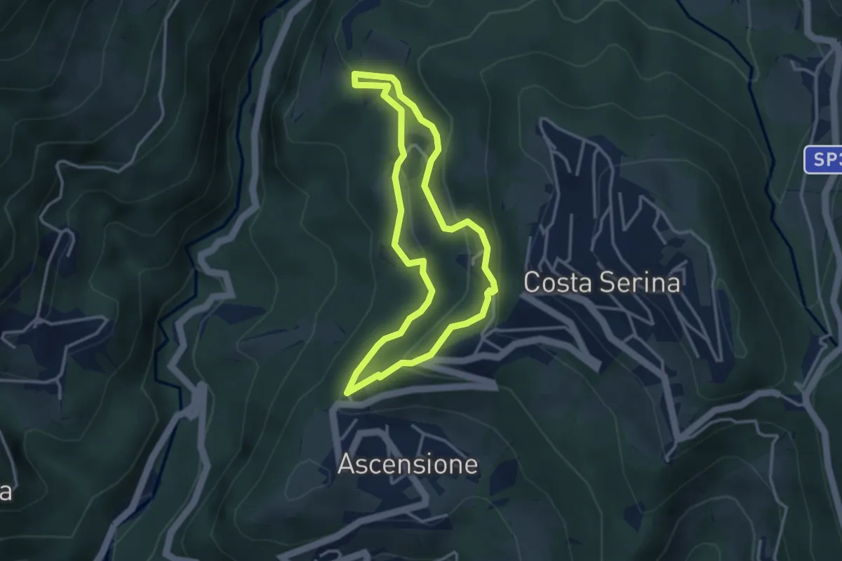
Medium · Trail
Sentiero Giallo
3.1 km · ↑ 159 m · 1 h 7 min · 10 km away
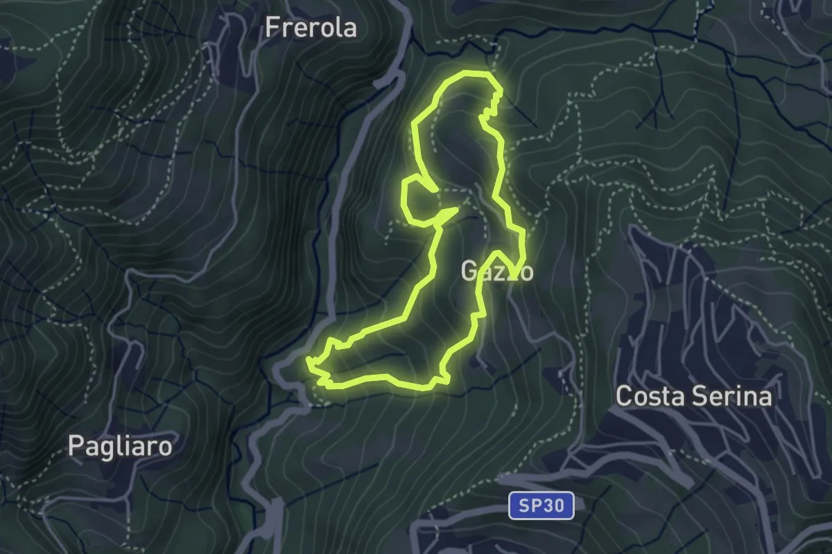
Medium · Trail
Sentiero Arancio
3.7 km · ↑ 280 m · 1 h 31 min · 10 km away
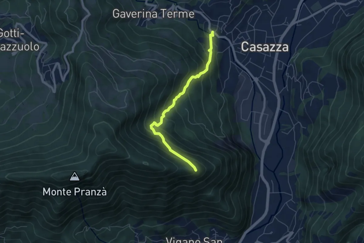
Expert · Trail
Mologno di Casazza – Cesulì
5.6 km · ↑ 492 m · 2 h 23 min · 11 km away
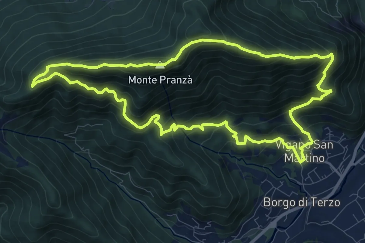
Demanding · Summit
Vigano San Martino – Vigano San Martino
10.4 km · ↑ 875 m · 4 h 29 min · 11 km away
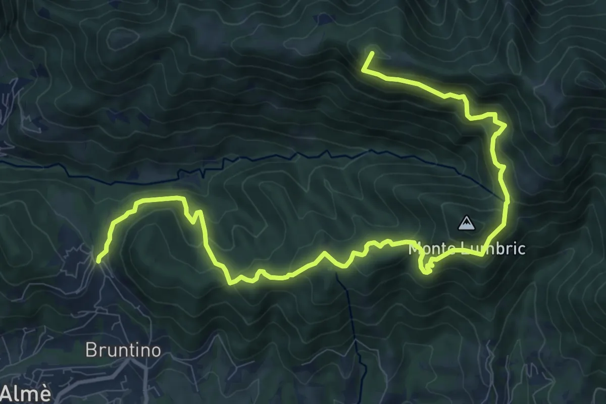
Demanding · Summit
Bruntino Alto – Prati Parini
13.4 km · ↑ 1072 m · 5 h 30 min · 11 km away
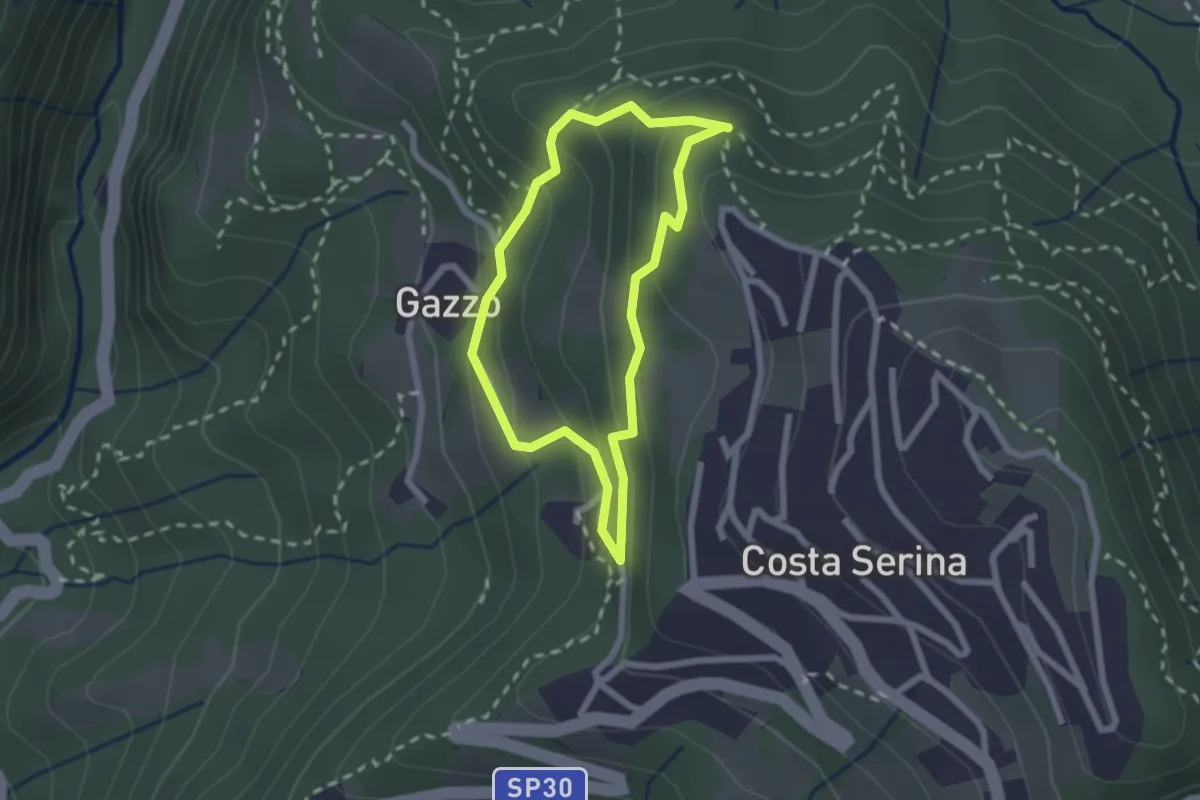
Medium · Trail
Sentiero Bianco
1.9 km · ↑ 122 m · 45 min · 11 km away
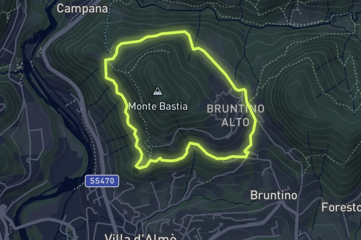
Medium · Trail
Giro del Monte Bastia
3.7 km · ↑ 174 m · 1 h 18 min · 11 km away
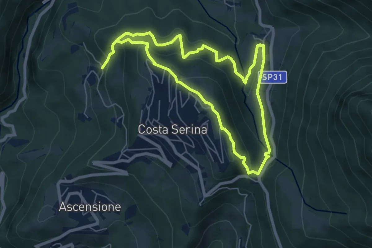
Medium · Trail
Sentiero Verde
4.9 km · ↑ 329 m · 1 h 58 min · 11 km away
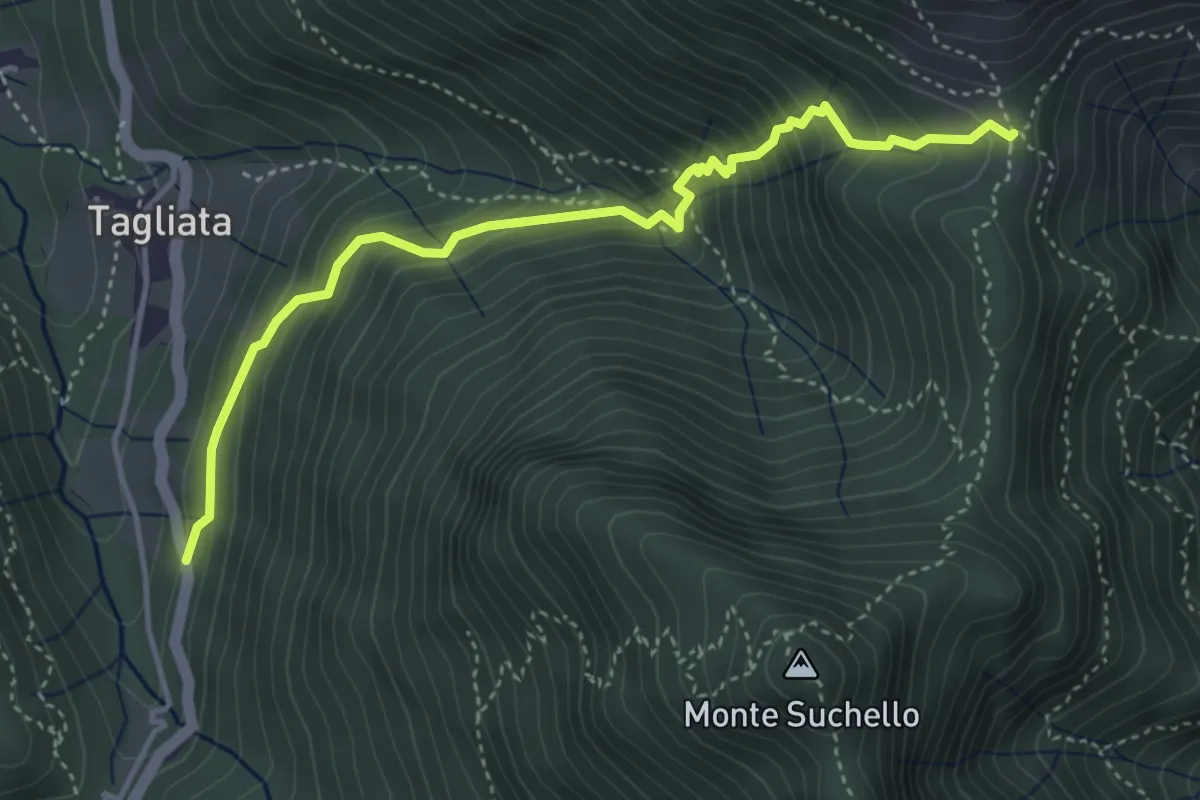
Medium · Trail
Costa di Serina – Passo Barbata (incrocio 525)
4.3 km · ↑ 508 m · 2 h 8 min · 11 km away
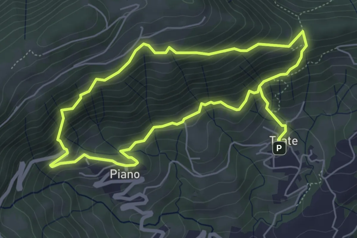
Medium · Trail
Trate (Gaverina Terme) – Trate (Gaverina Terme)
4.9 km · ↑ 435 m · 2 h 7 min · 11 km away
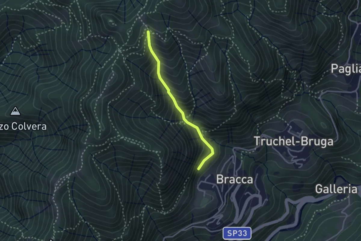
Medium · Trail
Incrocio 597 – Incrocio 597
2.4 km · ↑ 348 m · 1 h 19 min · 11 km away
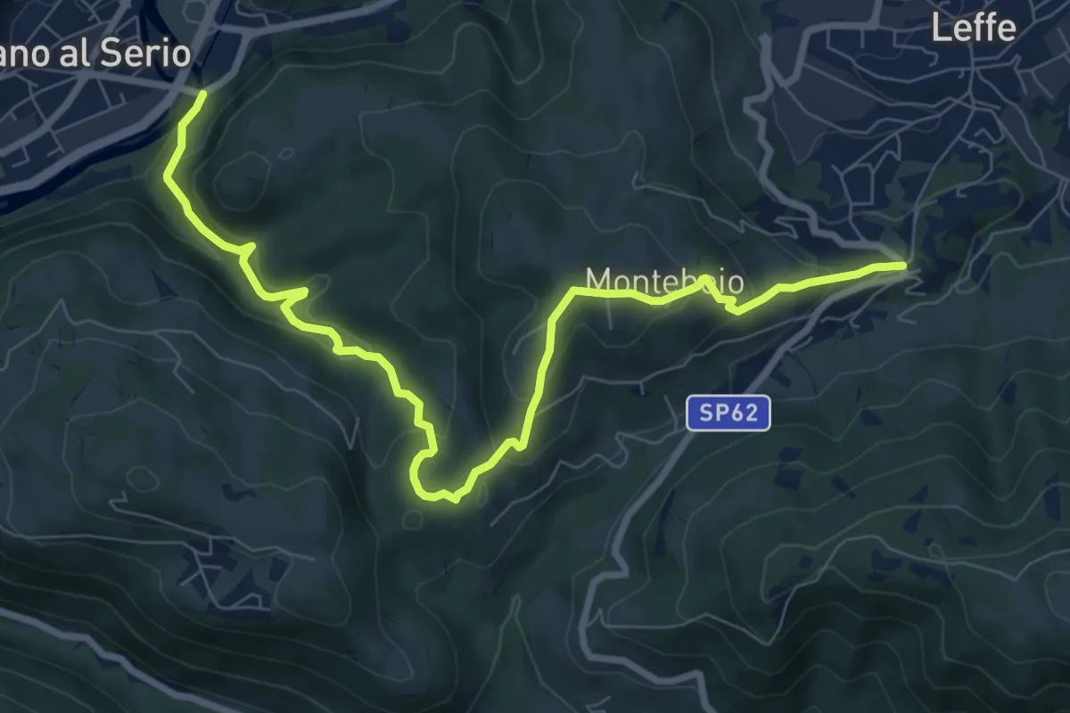
Medium · Trail
Ponte di Valgandino – S. Rocco di Leffe
9.6 km · ↑ 456 m · 3 h 15 min · 11 km away
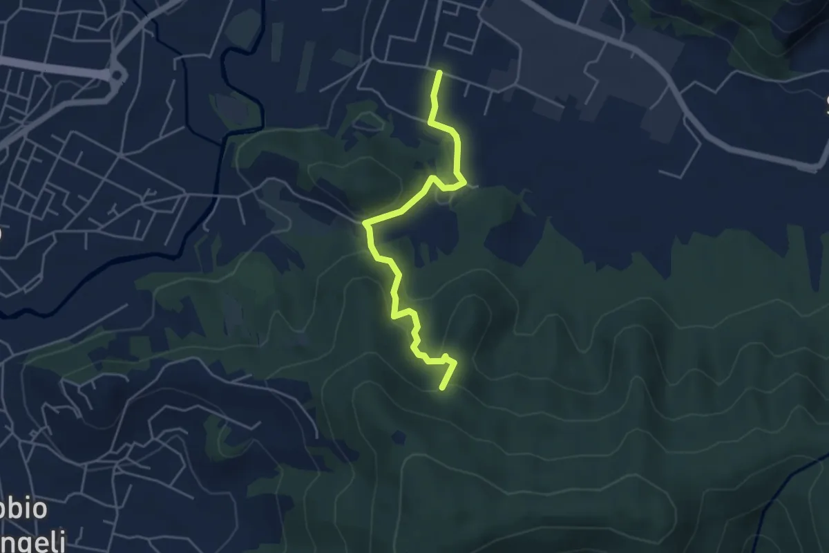
Easy · Trail
Zandobbio – Incrocio 650
4.4 km · ↑ 193 m · 1 h 27 min · 11 km away
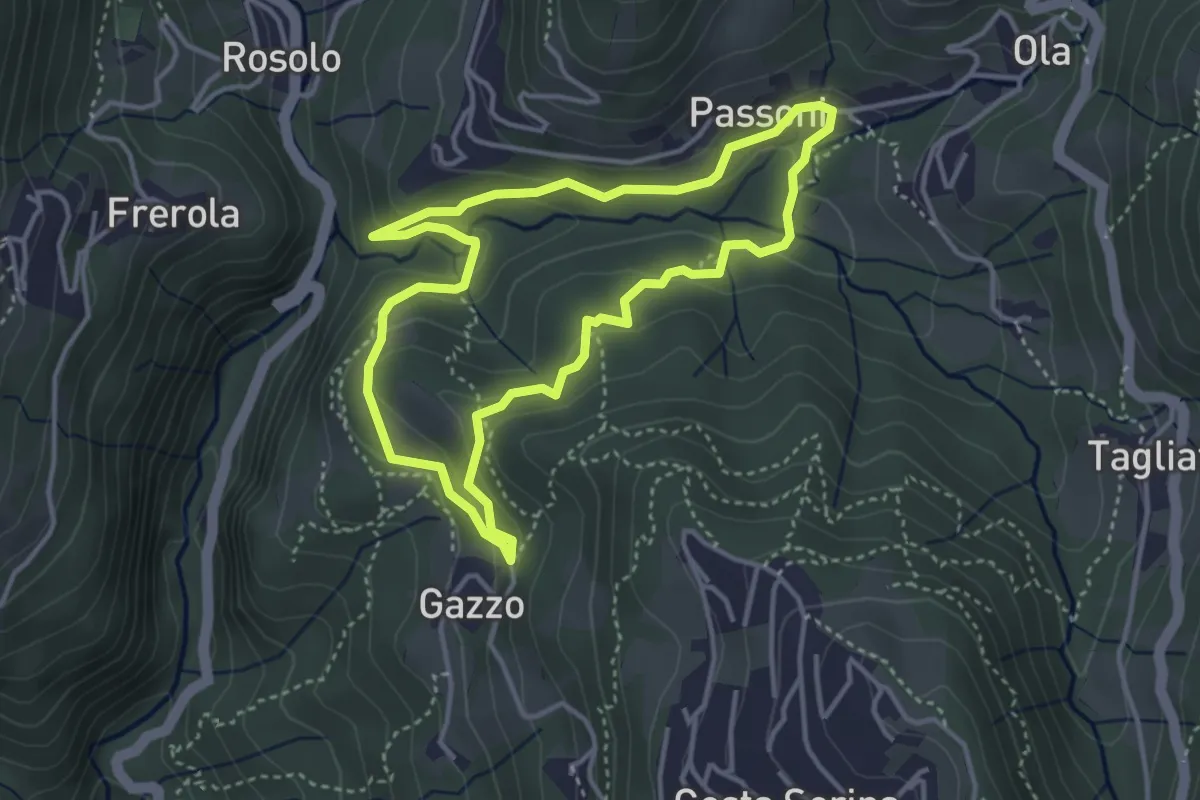
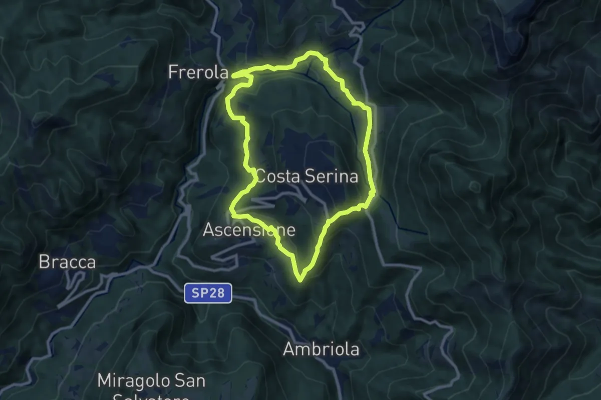
Medium · Trail
Sentiero Azzurro
3.6 km · ↑ 138 m · 1 h 12 min · 11 km away
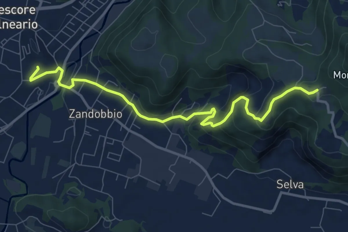
Medium · Trail
Sentiero Blu
7.8 km · ↑ 358 m · 2 h 44 min · 11 km away
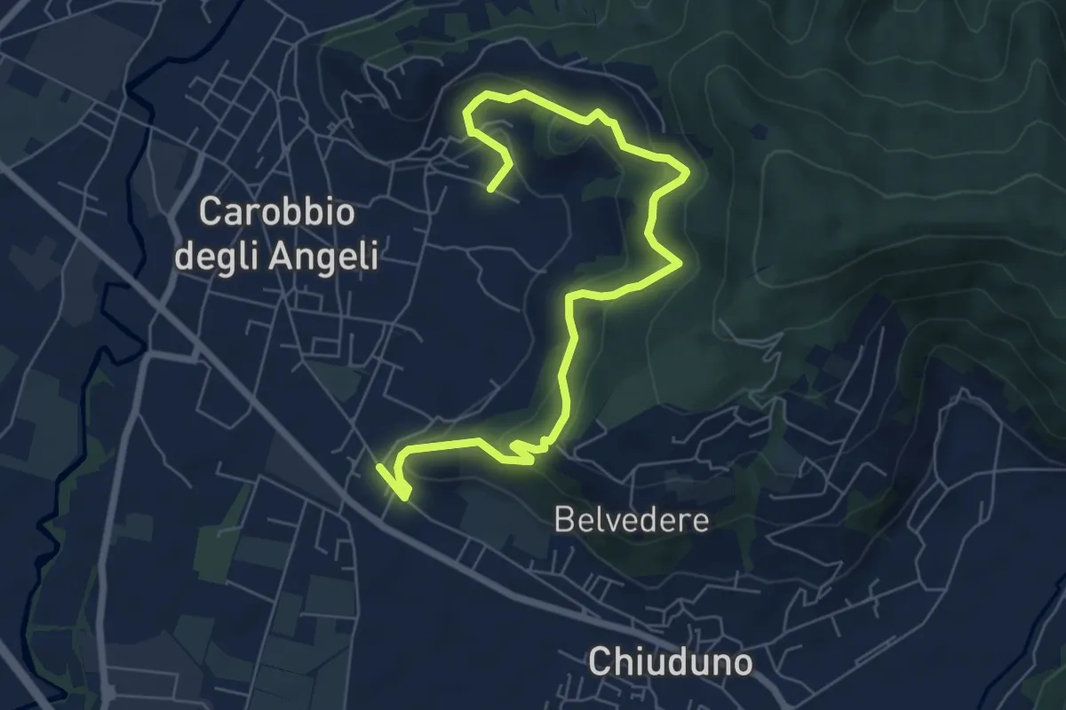
Medium · Trail
Trescore Balneario – Buca del Corno
8.6 km · ↑ 380 m · 2 h 52 min · 11 km away
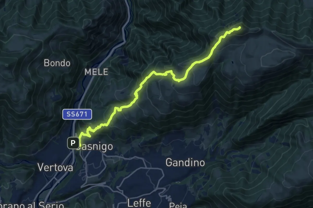
Medium · Trail
Cicola – Santo Stefano
7.8 km · ↑ 443 m · 2 h 49 min · 11 km away
Demanding · Summit
Casnigo (SS. Trinità) – Pizzo Formico
16.7 km · ↑ 1289 m · 6 h 44 min · 11 km away
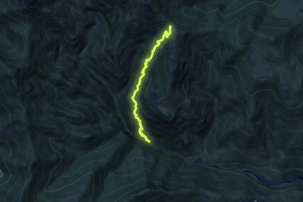
Demanding · Trail
Gaernài (Val Vertova) – Passo di Bliben
7.3 km · ↑ 856 m · 3 h 35 min · 11 km away
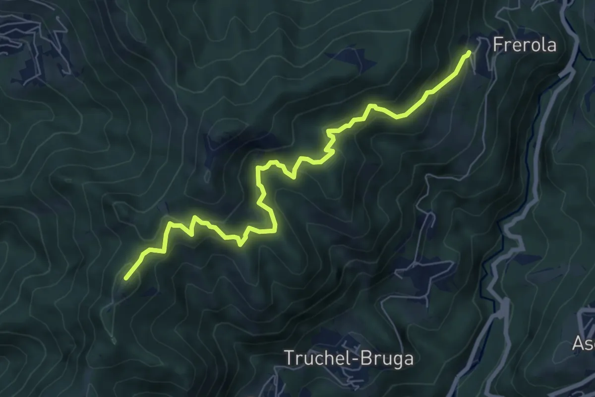
Medium · Summit
Frerola (Algua) – Bracca
7.2 km · ↑ 567 m · 2 h 56 min · 11 km away
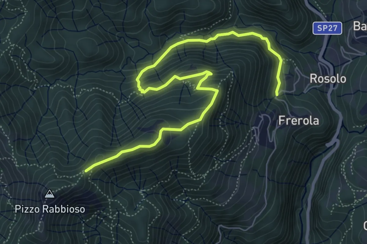
Medium · Trail
Frerola (Algua) – Pizzo Rabbioso
7.4 km · ↑ 493 m · 2 h 49 min · 11 km away
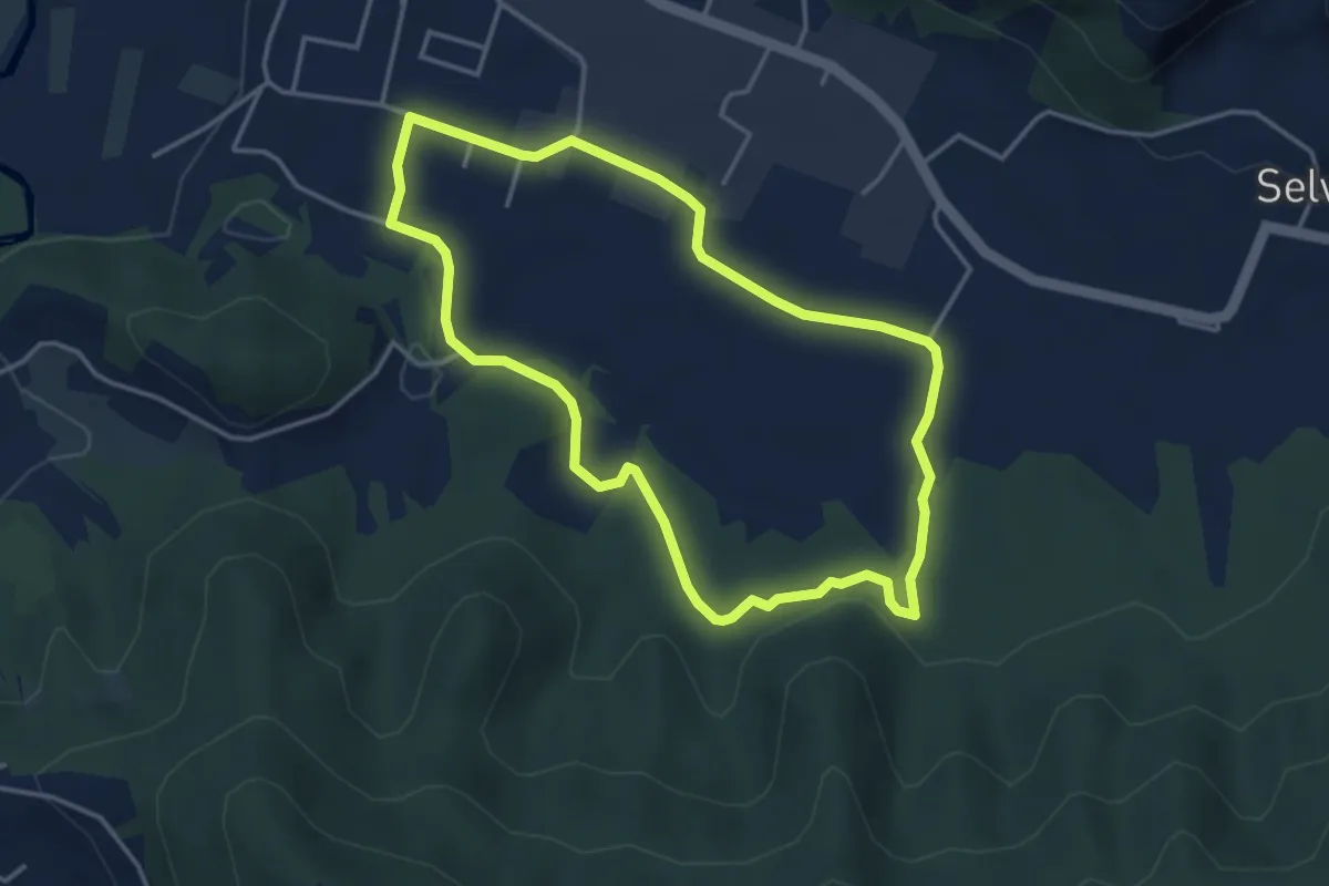
Easy · Trail
San Giorgio (Zandobbio) – San Giorgio (Zandobbio)
3.8 km · ↑ 48 m · 1 h 3 min · 11 km away
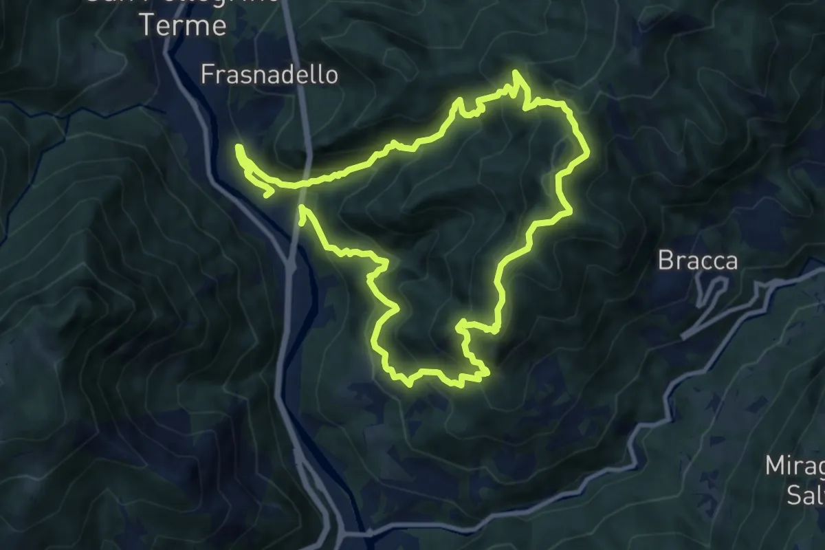
Expert · Summit
Pregalleno (San Pellegrino Terme) – Pregalleno
9.0 km · ↑ 836 m · 4 h 4 min · 12 km away
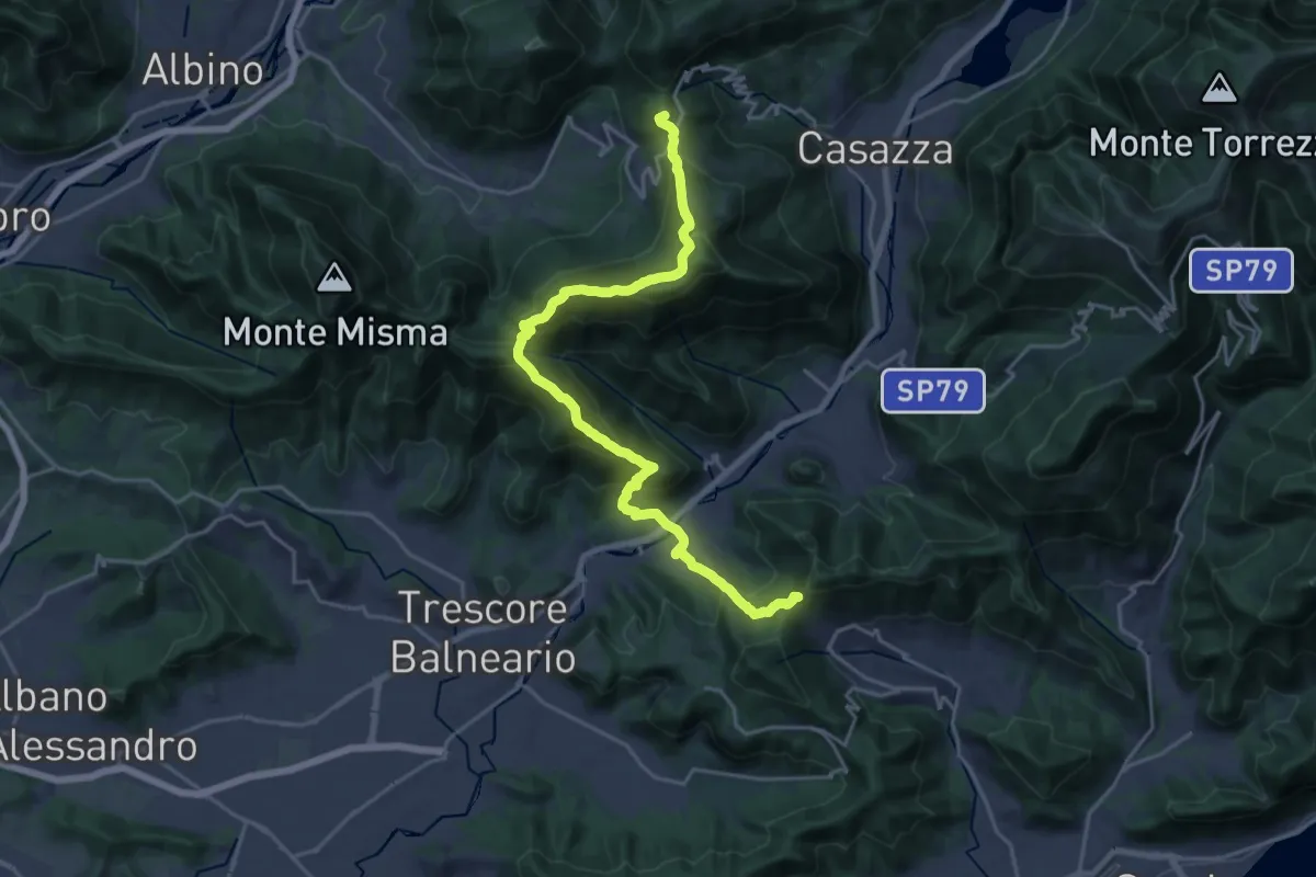
Demanding · Summit
Sentiero Flavio Tasca - Tappa 8
22.8 km · ↑ 1433 m · 8 h 29 min · 12 km away
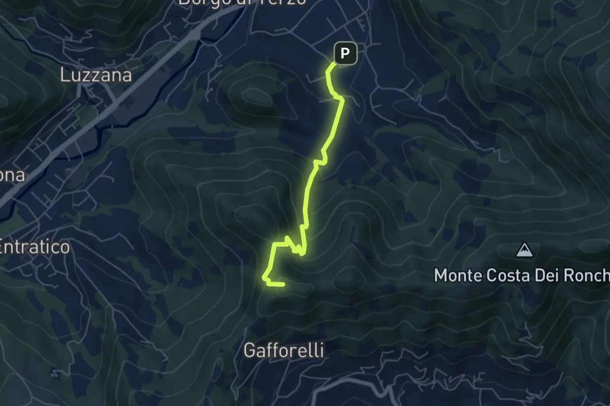
Medium · Summit
Berzo San Fermo – Il Casino
4.8 km · ↑ 328 m · 1 h 51 min · 12 km away
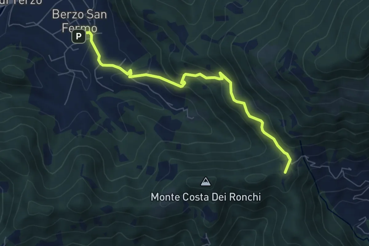
Medium · Summit
Berzo San Fermo – Col Croce
6.6 km · ↑ 444 m · 2 h 31 min · 12 km away