Trails near Nembro
222 hikes starting within 15 km, nearest first.
Nearest first, page 4 of 5
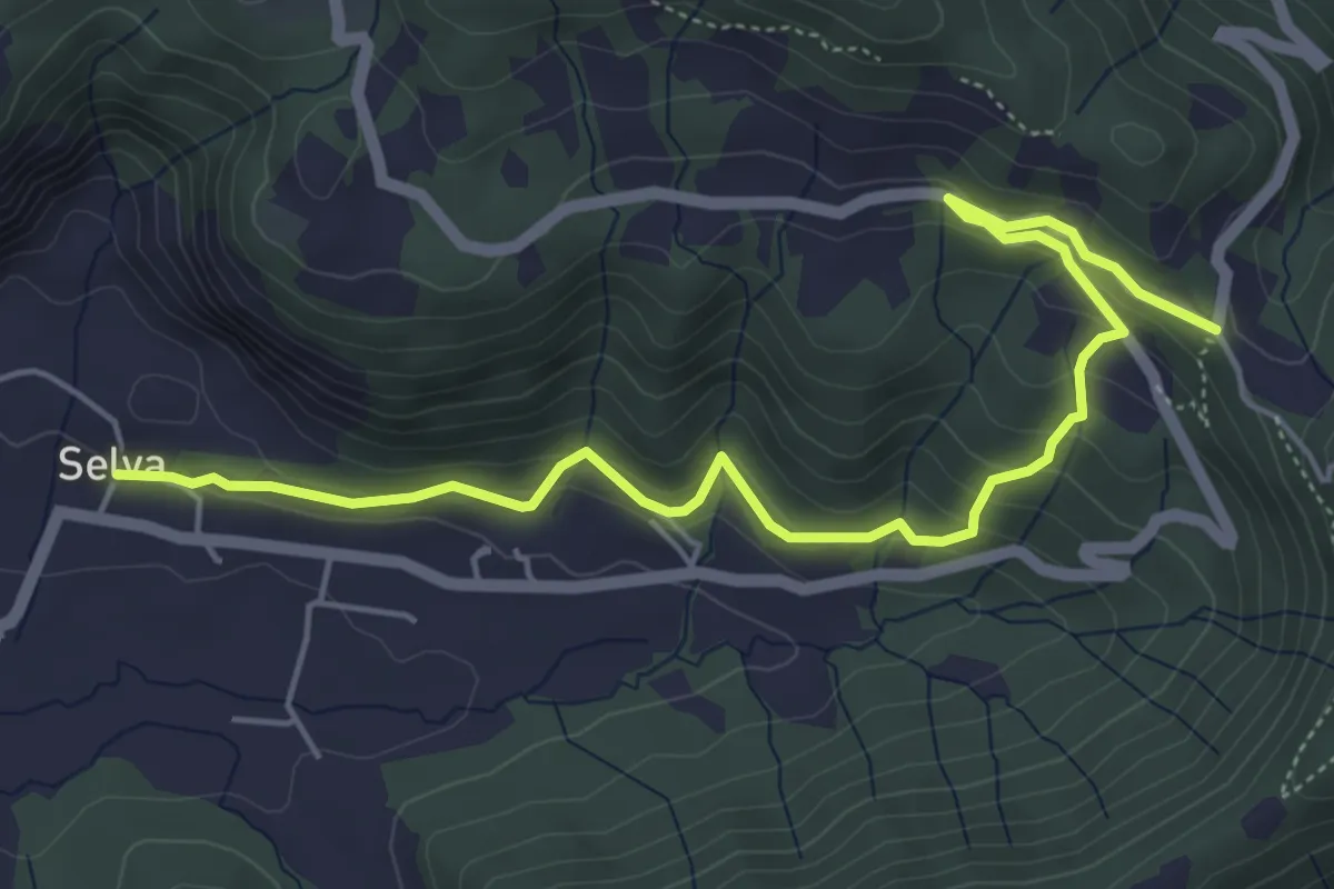
Medium · Trail
Selva – Colle San Giovanni
6.1 km · ↑ 362 m · 2 h 14 min · 12 km away
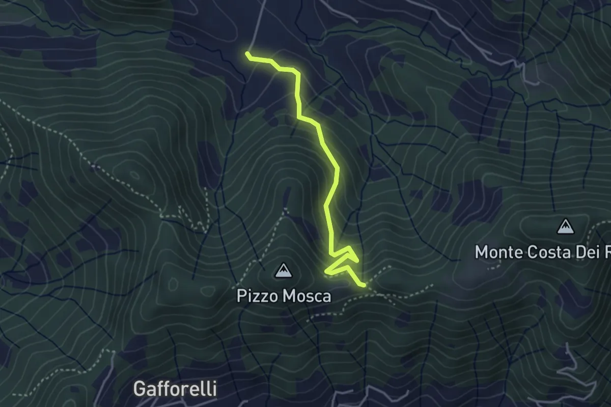
Medium · Trail
Cascina Barberino – Pizzo Mosca (Foresto Sparso)
3.2 km · ↑ 313 m · 1 h 26 min · 12 km away
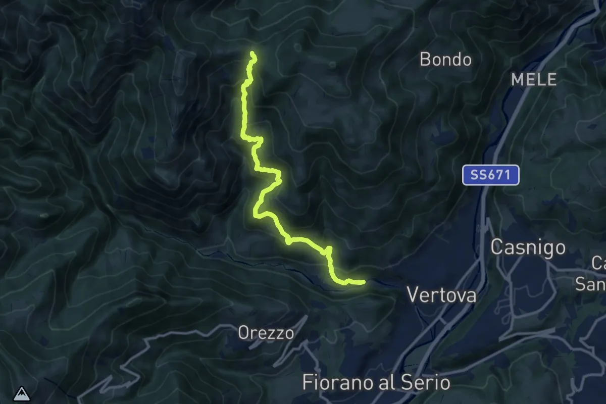
Demanding · Trail
Vertova – Dasla
10.8 km · ↑ 953 m · 4 h 36 min · 12 km away
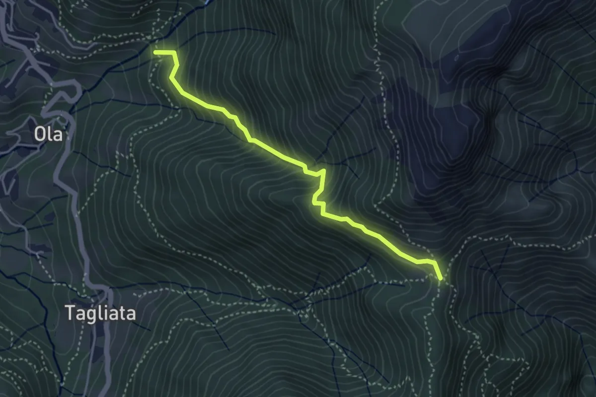
Medium · Trail
Incrocio H41 – Passo Barbata
3.8 km · ↑ 473 m · 1 h 56 min · 12 km away
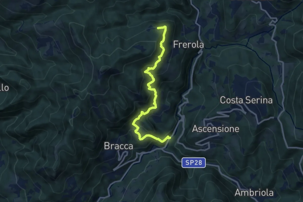
Demanding · Trail
Algua – Pradai
8.7 km · ↑ 821 m · 3 h 50 min · 12 km away
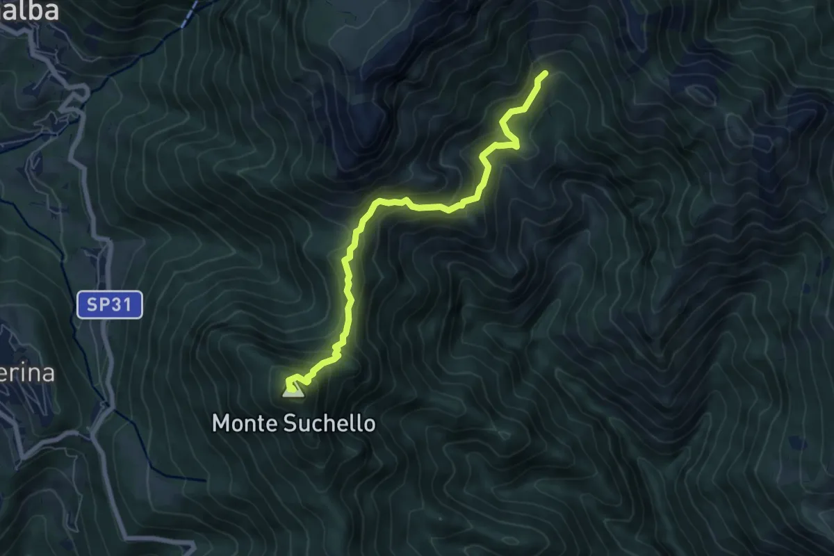
Medium · Summit
Aviatico – Sedernello
6.5 km · ↑ 548 m · 2 h 44 min · 12 km away
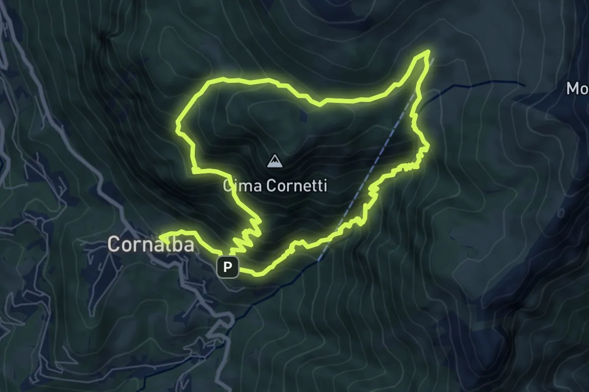
Medium · Trail
Cornalba – Cornalba
7.5 km · ↑ 759 m · 3 h 32 min · 12 km away
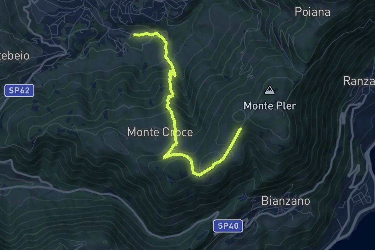
Medium · Trail
Leffe (campo sportivo) – Monte Croce (incrocio 513)
8.0 km · ↑ 567 m · 3 h 7 min · 12 km away
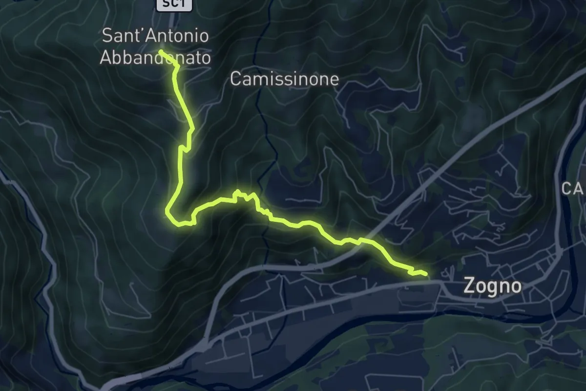
Medium · Trail
Zogno (via Sottocorna) – S. Antonio Abbandonato
7.2 km · ↑ 729 m · 3 h 16 min · 12 km away
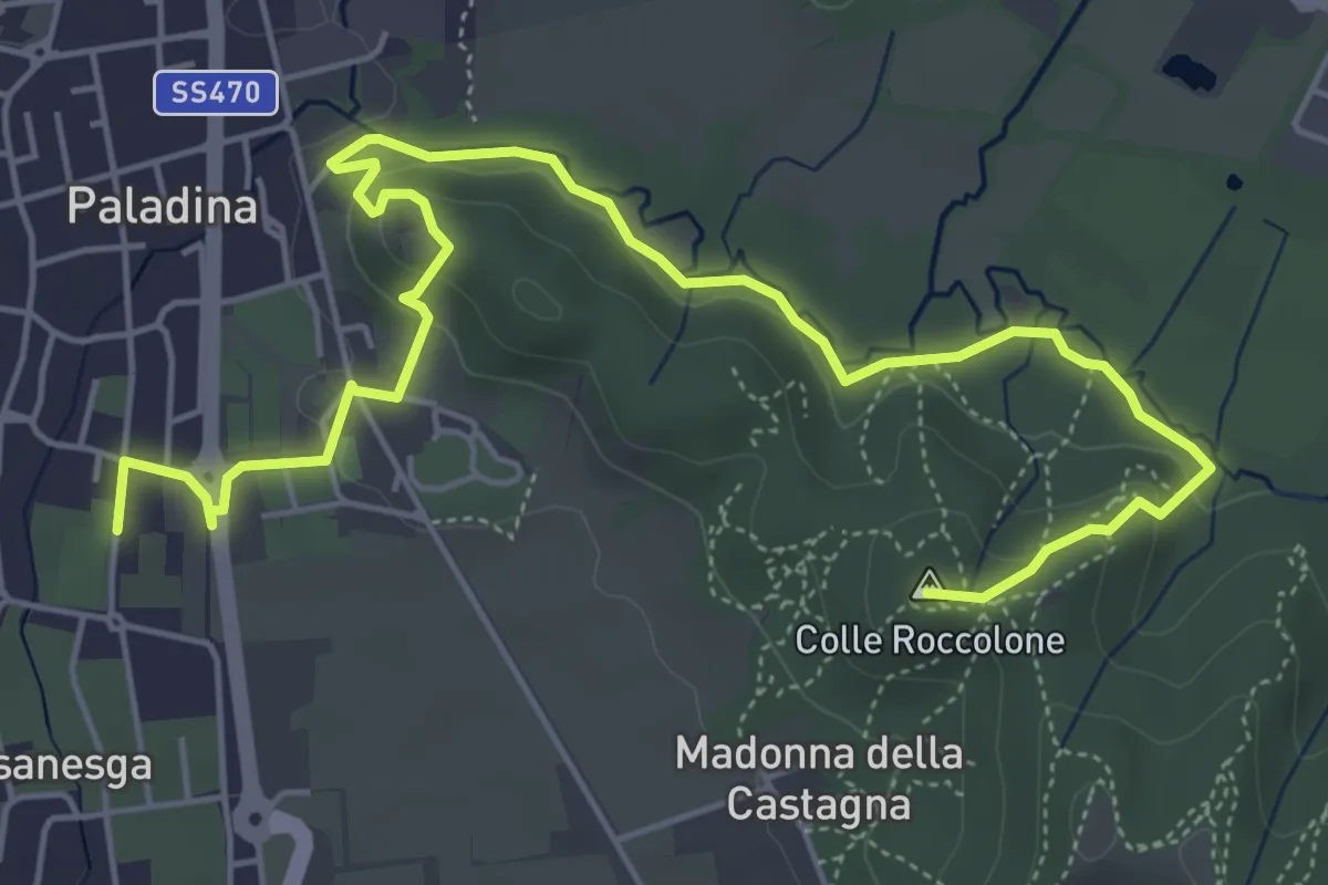
Easy · Summit
Il Sentiero di Ilaria
7.2 km · ↑ 194 m · 2 h 8 min · 12 km away
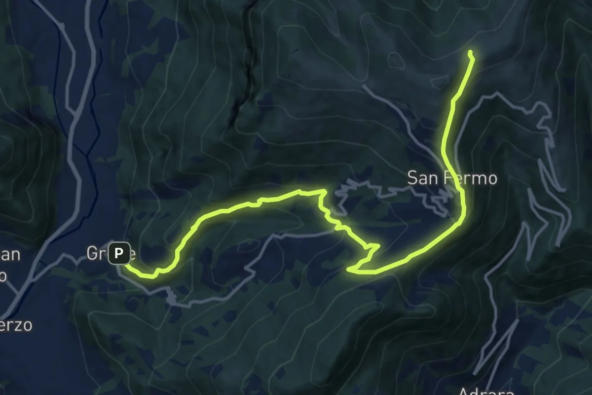
Demanding · Trail
Grone – Foppelle
14.1 km · ↑ 944 m · 5 h 22 min · 12 km away
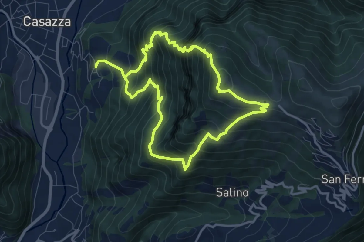
Demanding · Summit
Colognola (Casazza) – Colognola (Casazza)
7.6 km · ↑ 865 m · 3 h 44 min · 12 km away
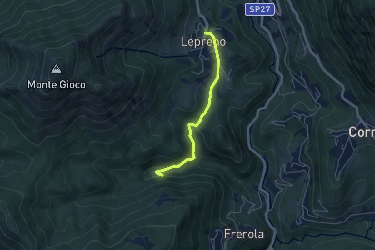
Medium · Trail
Lepreno – Incrocio 593
3.8 km · ↑ 134 m · 1 h 11 min · 12 km away
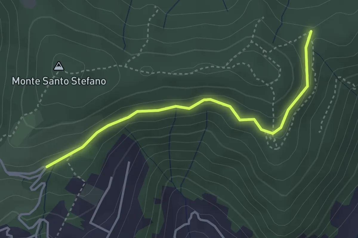
Medium · Trail
Cascina Pedrini – Boca di senter
3.4 km · ↑ 120 m · 1 h 4 min · 12 km away
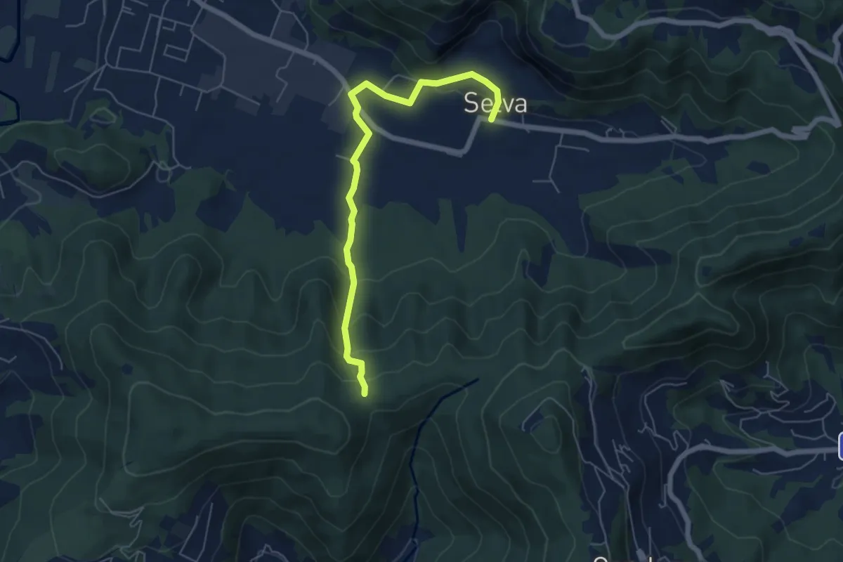
Easy · Trail
Selva – Boca di senter
5.8 km · ↑ 261 m · 1 h 56 min · 12 km away
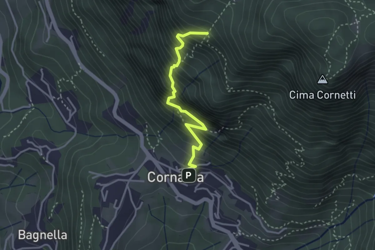
Demanding · Trail
Cornalba – Falesia Corna Bianca
2.9 km · ↑ 526 m · 1 h 49 min · 12 km away
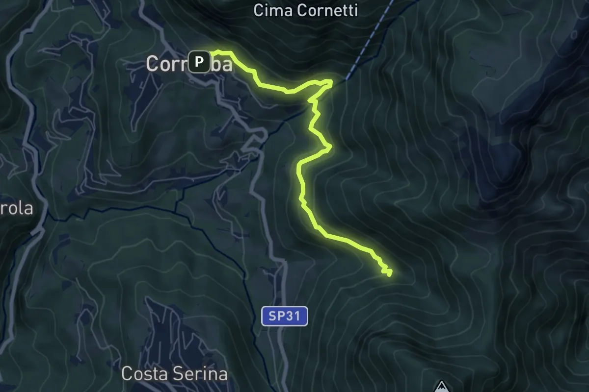
Medium · Trail
Cornalba – Incrocio 519B
6.4 km · ↑ 430 m · 2 h 26 min · 12 km away
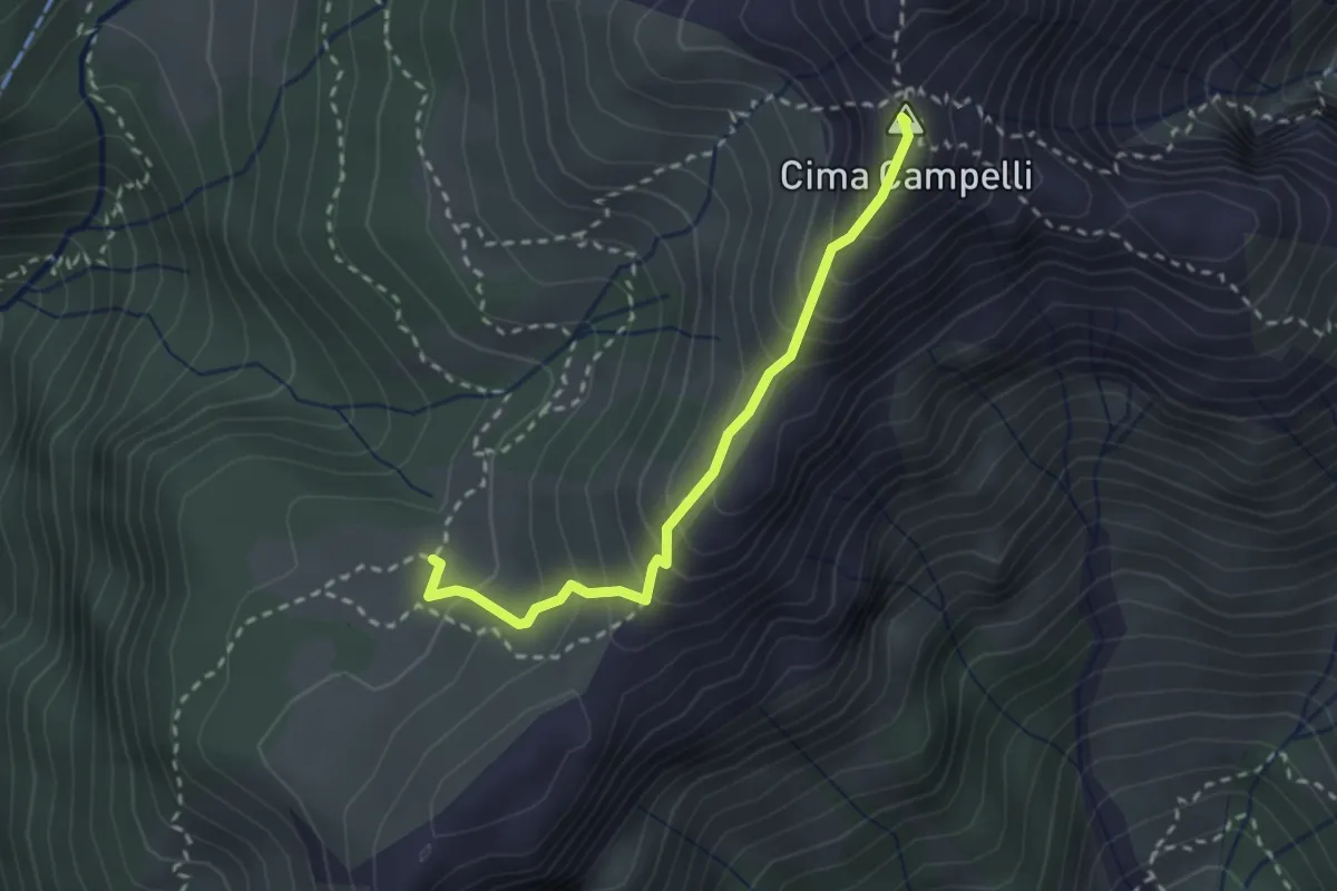
Demanding · Summit
Incrocio 525 – Incrocio 530
2.5 km · ↑ 274 m · 1 h 11 min · 12 km away
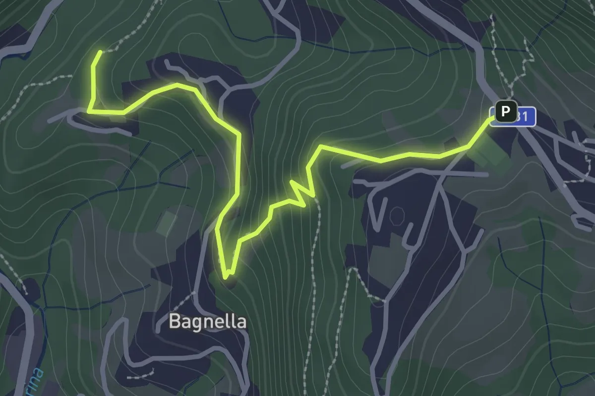
Easy · Trail
Rosolo – Cornalba
3.3 km · ↑ 235 m · 1 h 17 min · 12 km away
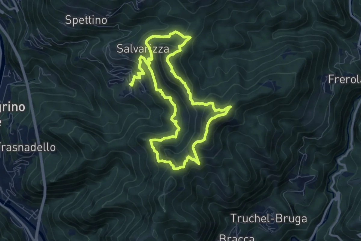
Demanding · Summit
Santa Croce – Santa Croce
7.3 km · ↑ 589 m · 3 h 2 min · 12 km away
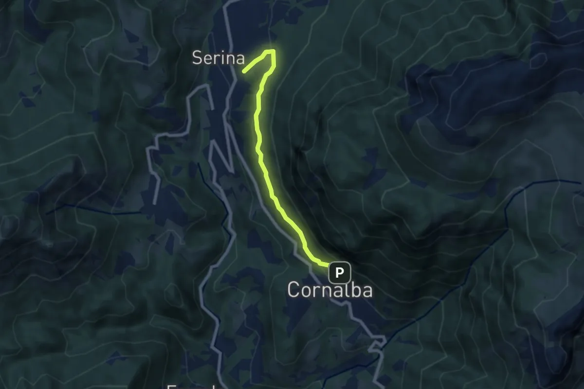
Medium · Trail
Variante Mercatorum
5.8 km · ↑ 297 m · 2 h 1 min · 12 km away
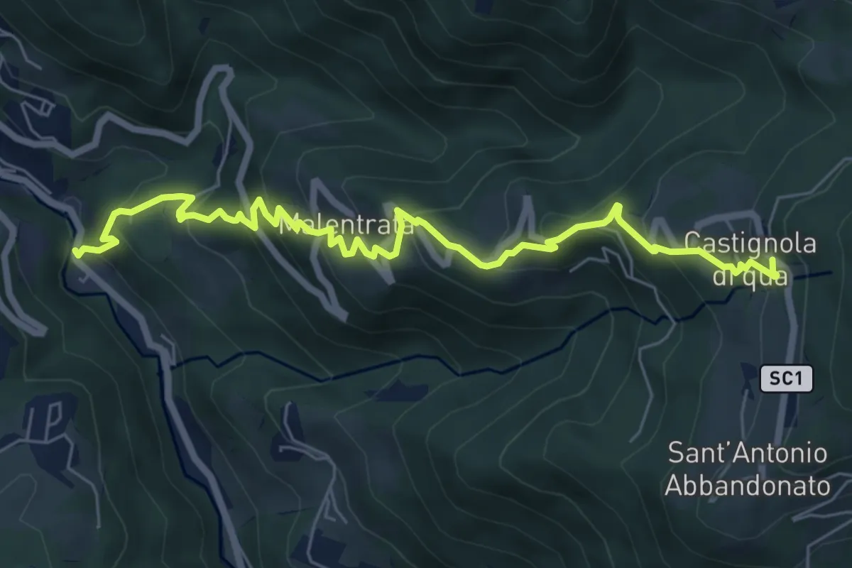
Medium · Trail
Magnavacche – Castignola di quà
7.3 km · ↑ 582 m · 2 h 59 min · 12 km away
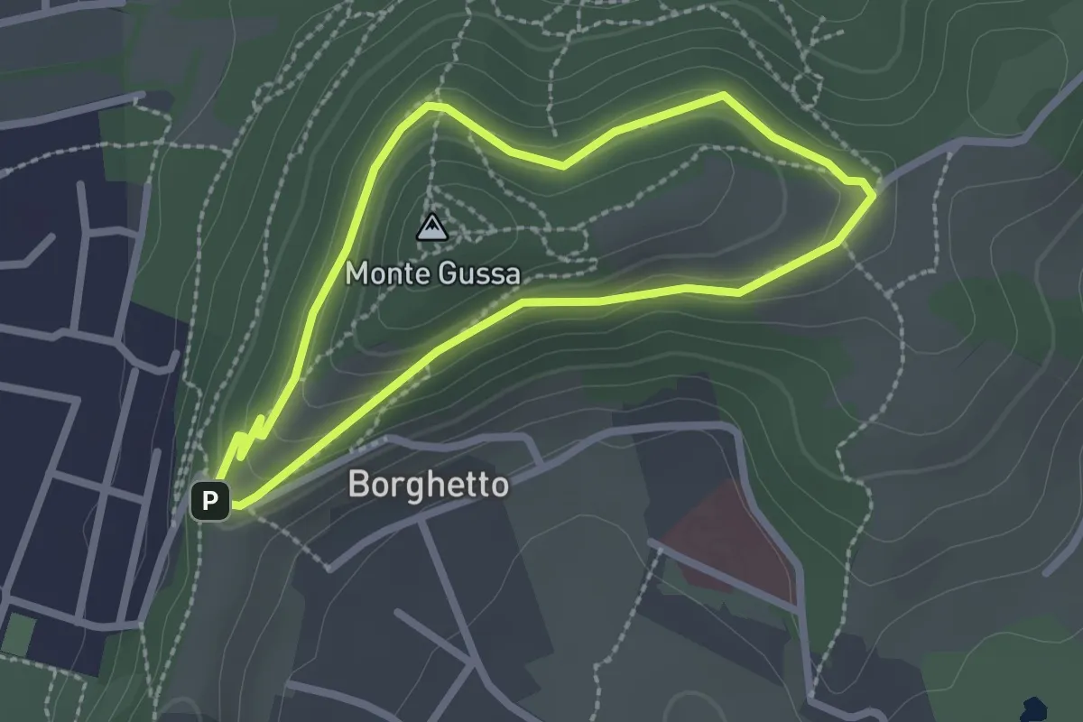
Easy · Summit
Giro del Monte Gussa
2.1 km · ↑ 95 m · 44 min · 12 km away
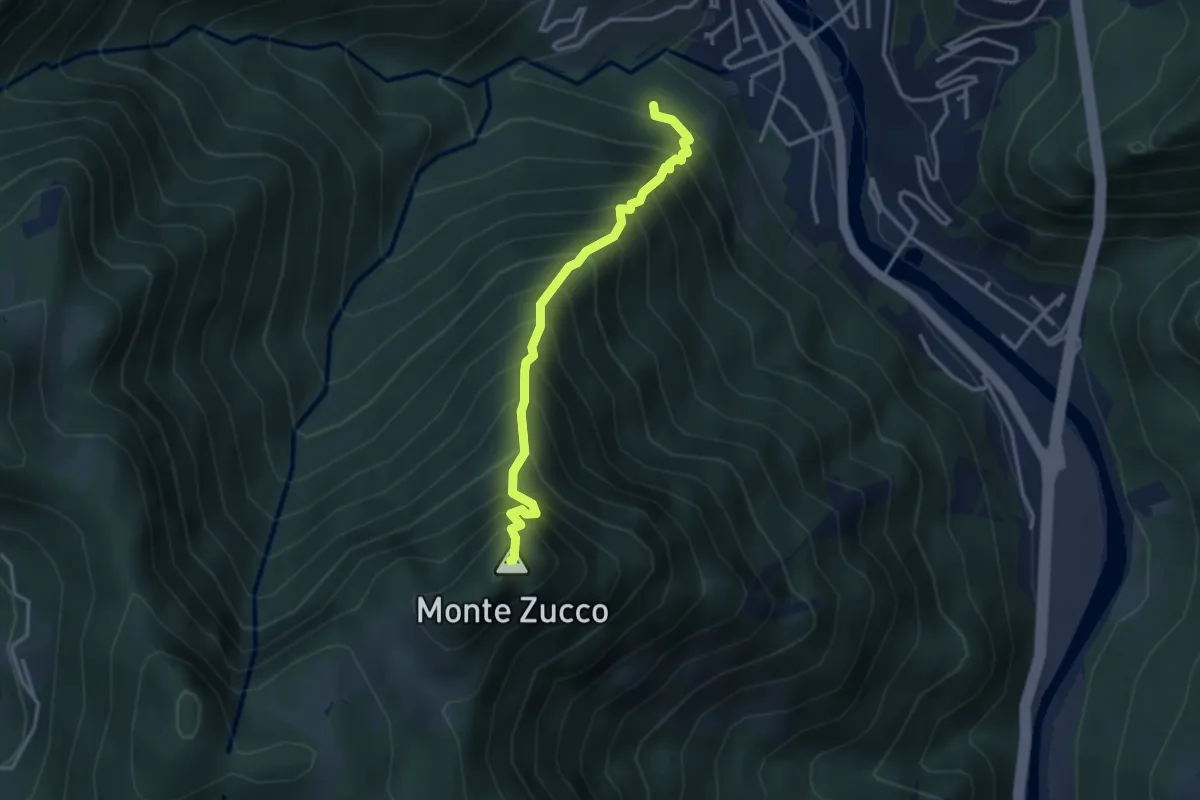
Expert · Summit
Sentiero Panoramico
3.2 km · ↑ 749 m · 2 h 23 min · 12 km away
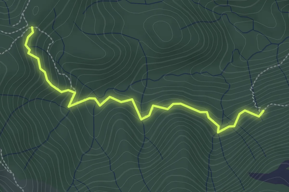
Medium · Trail
Incrocio 593 – Incrocio 561/598
3.0 km · ↑ 277 m · 1 h 19 min · 12 km away
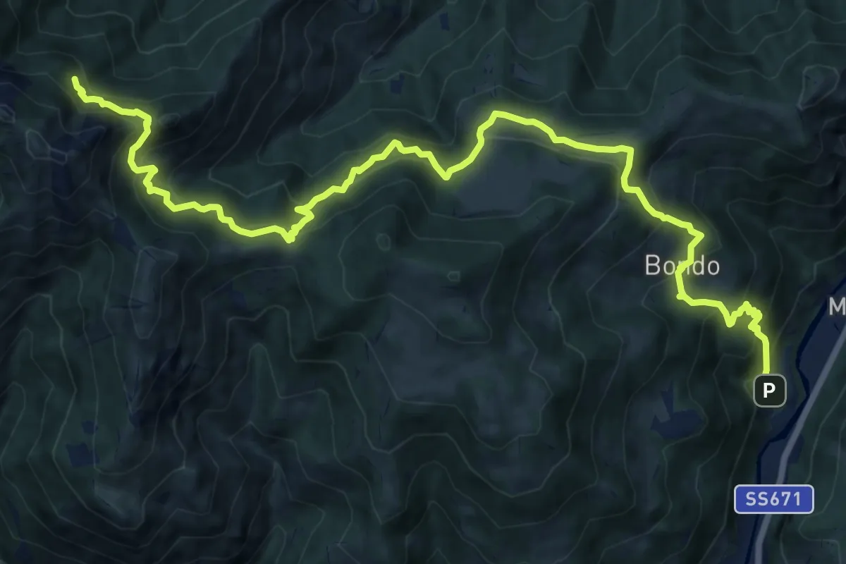
Expert · Cabin
Colzate – Bivacco La Plana
17.4 km · ↑ 1575 m · 7 h 31 min · 12 km away
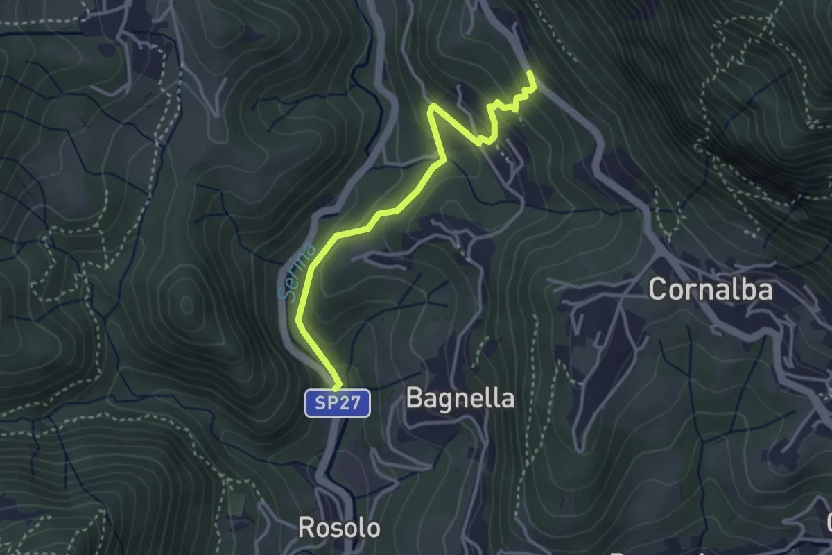
Easy · Trail
Rosolo – San Pantaleone
3.3 km · ↑ 200 m · 1 h 13 min · 13 km away
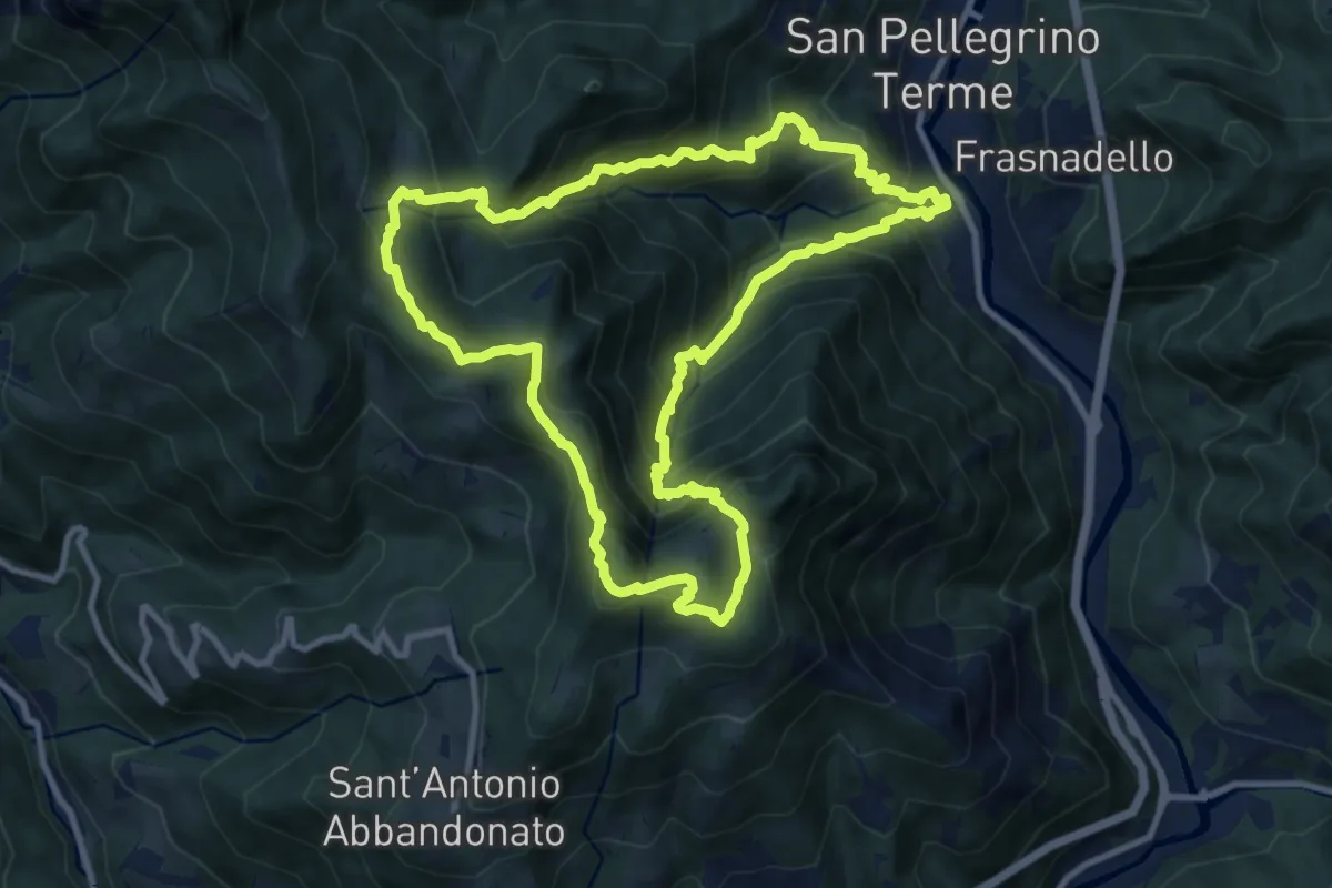
Demanding · Summit
San Pellegrino – San Pellegrino
10.7 km · ↑ 979 m · 4 h 47 min · 13 km away
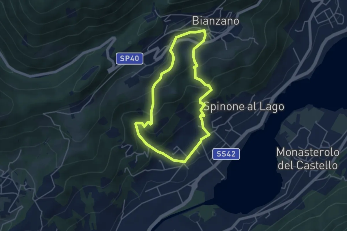
Easy · Trail
Spinone al Lago – Spinone al Lago
3.5 km · ↑ 261 m · 1 h 27 min · 13 km away
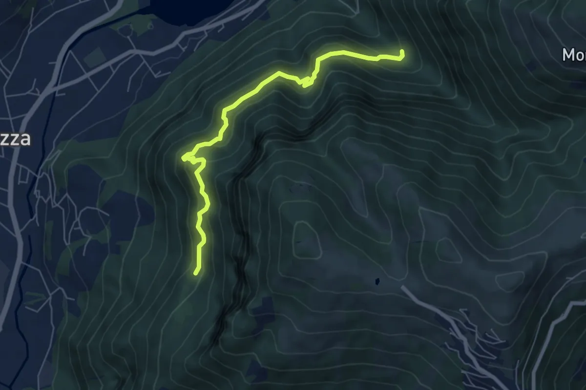
Medium · Trail
Cummia (Colognola di Casazza) – Fontanello
6.4 km · ↑ 498 m · 2 h 36 min · 13 km away
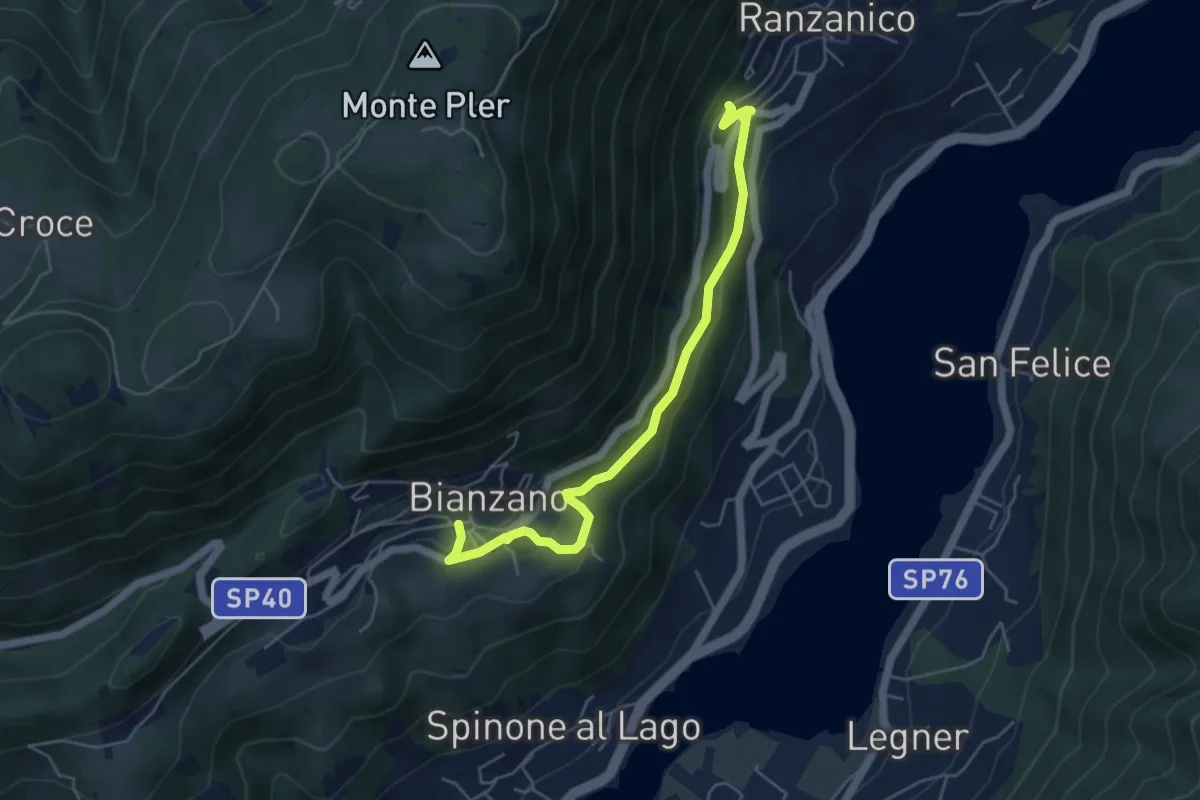
Easy · Trail
Bianzano – Ranzanico
5.3 km · ↑ 270 m · 1 h 50 min · 13 km away
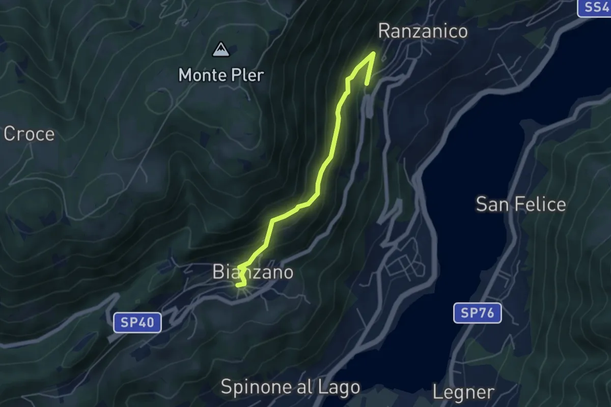
Medium · Trail
Ranzanico – Bianzano
4.5 km · ↑ 374 m · 1 h 52 min · 13 km away
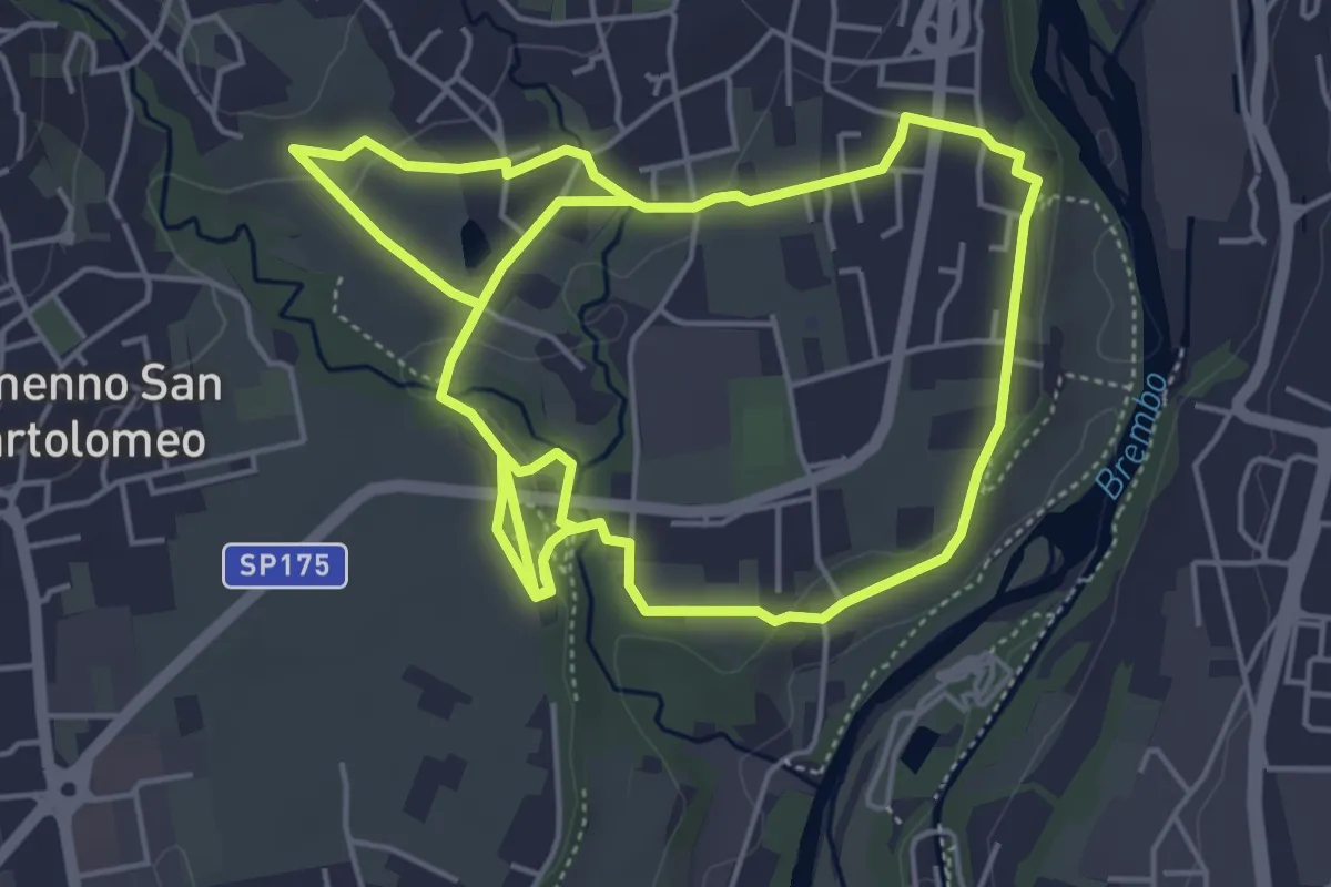
Medium · Trail
Sentiero del Romanico
10.5 km · ↑ 131 m · 2 h 45 min · 13 km away
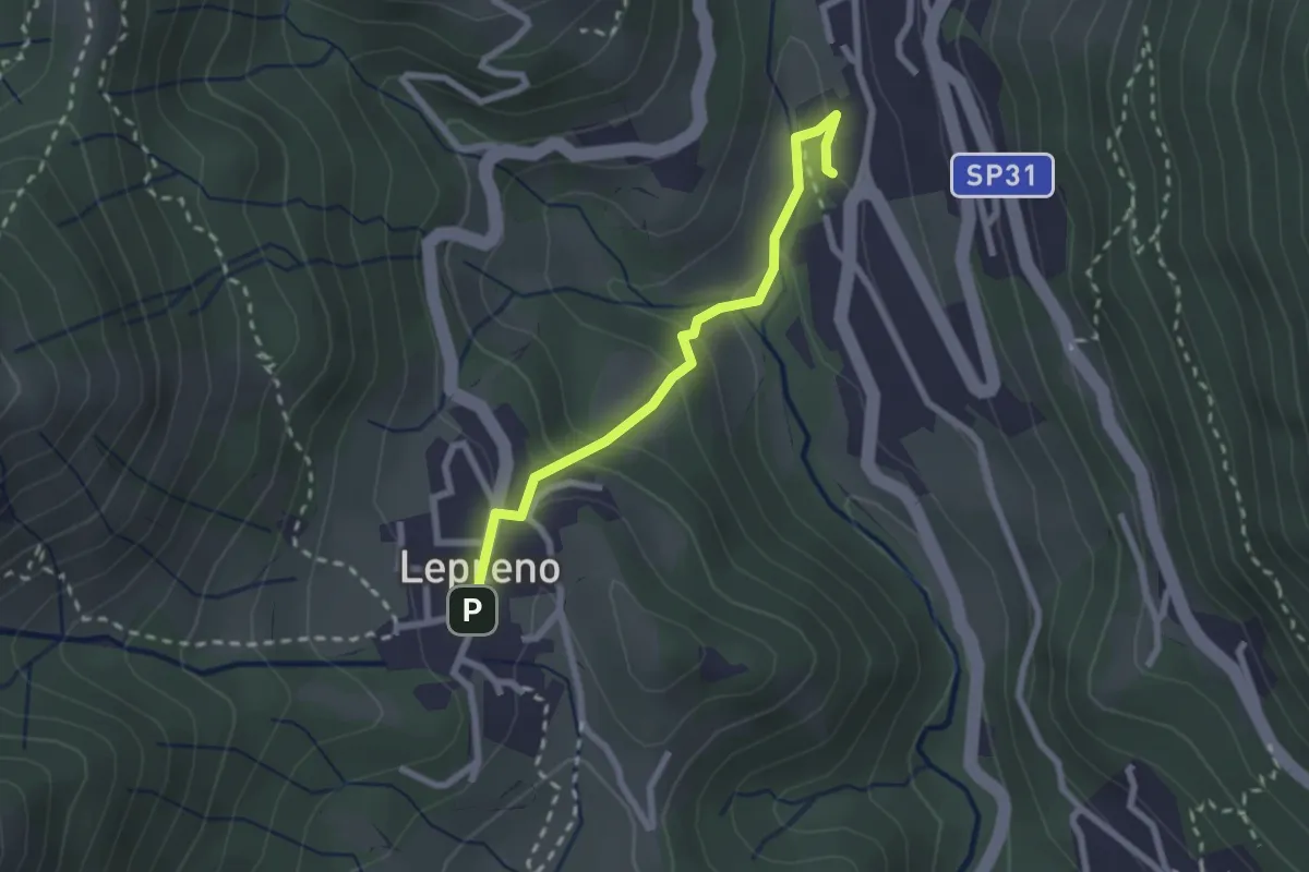
Easy · Trail
Serina – Lepreno
2.3 km · ↑ 124 m · 48 min · 13 km away
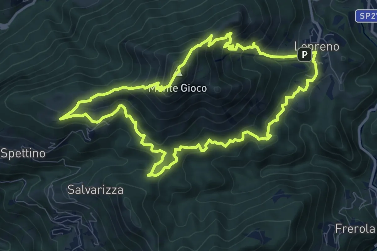
Medium · Summit
Lepreno (Serina) – Lepreno
8.9 km · ↑ 710 m · 3 h 46 min · 13 km away
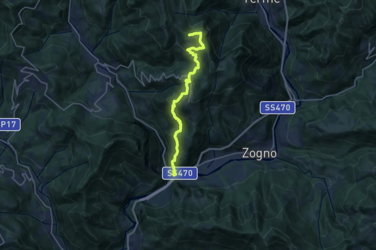
Demanding · Trail
Strada Taverna
13.8 km · ↑ 1035 m · 5 h 30 min · 13 km away
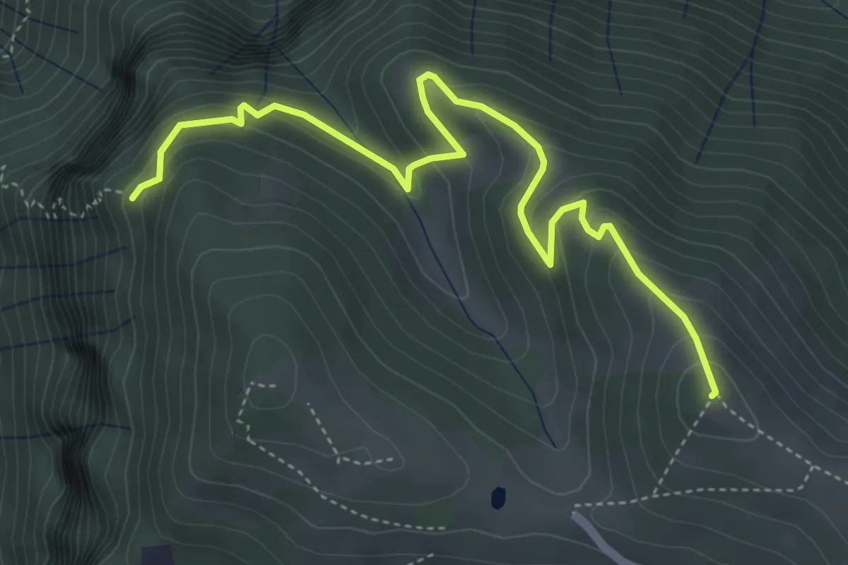
Medium · Summit
Colle di Caf – Foppalupo (Colli di San Fermo)
5.2 km · ↑ 372 m · 2 h 2 min · 13 km away
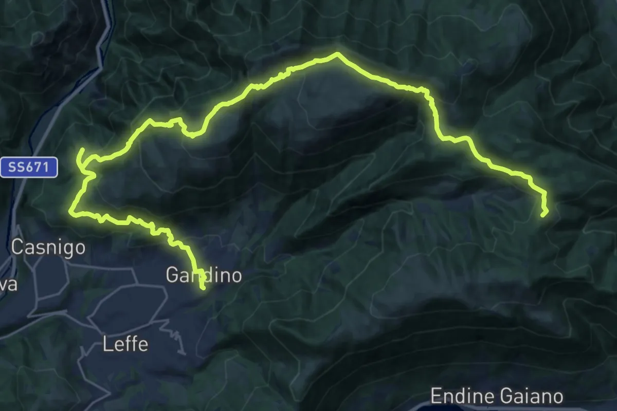
Demanding · Summit
Alta Via delle Grazie - Tappa 11
33.8 km · ↑ 1827 m · 11 h 57 min · 13 km away
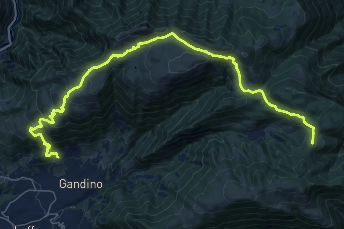
Demanding · Summit
Barzizza di Gandino – Monte di Sovere
25.5 km · ↑ 1497 m · 9 h 16 min · 13 km away
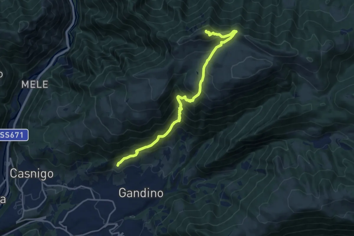
Demanding · Summit
Barzizza – Pizzo Formico
13.0 km · ↑ 1024 m · 5 h 18 min · 13 km away
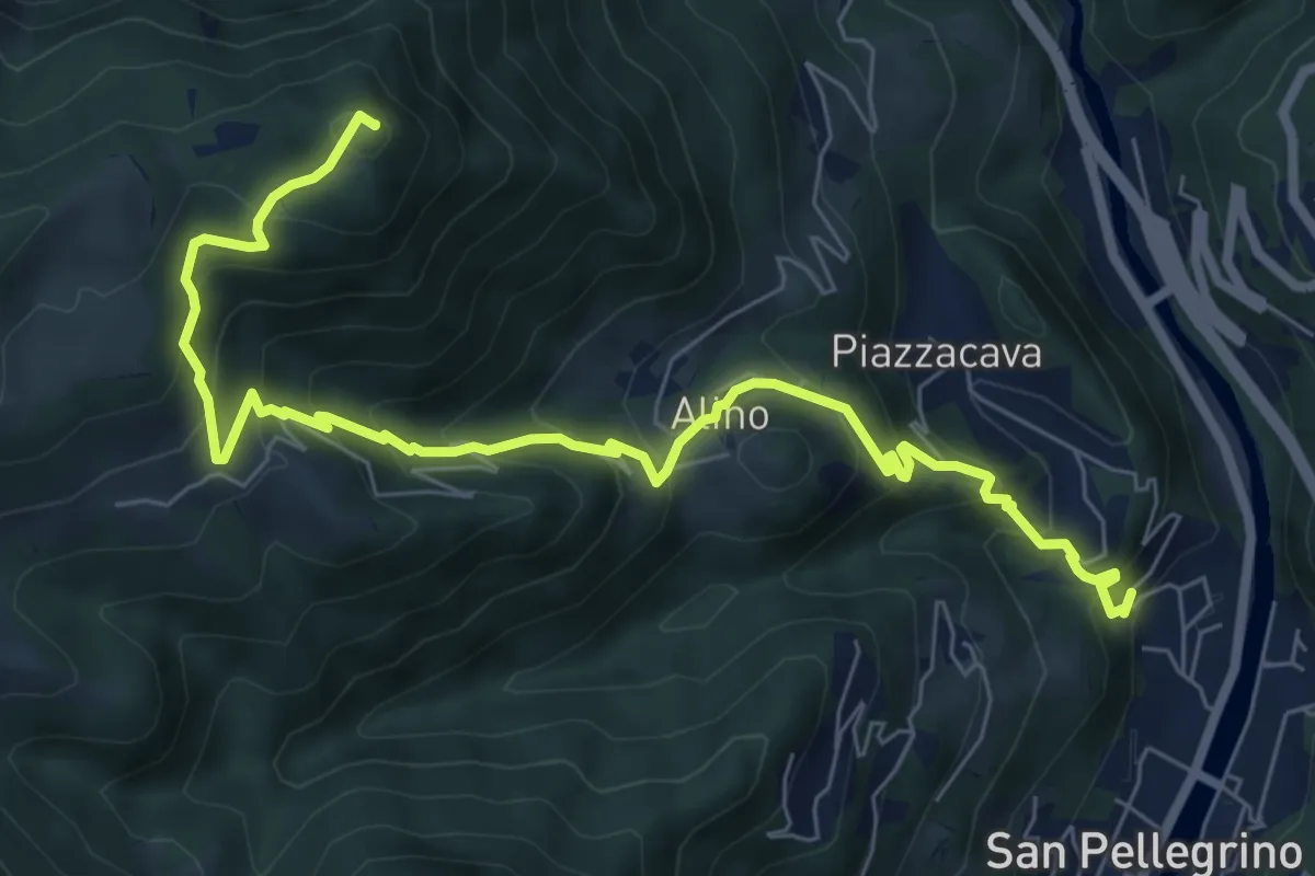
Medium · Summit
Alino (San Pellegrino) – Monte Molinasco
8.7 km · ↑ 729 m · 3 h 39 min · 13 km away
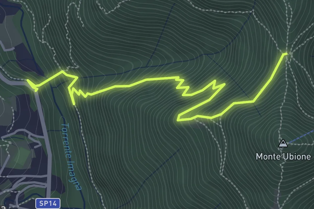
Medium · Trail
Strozza – Roccoli della Passata
4.5 km · ↑ 494 m · 2 h 8 min · 13 km away
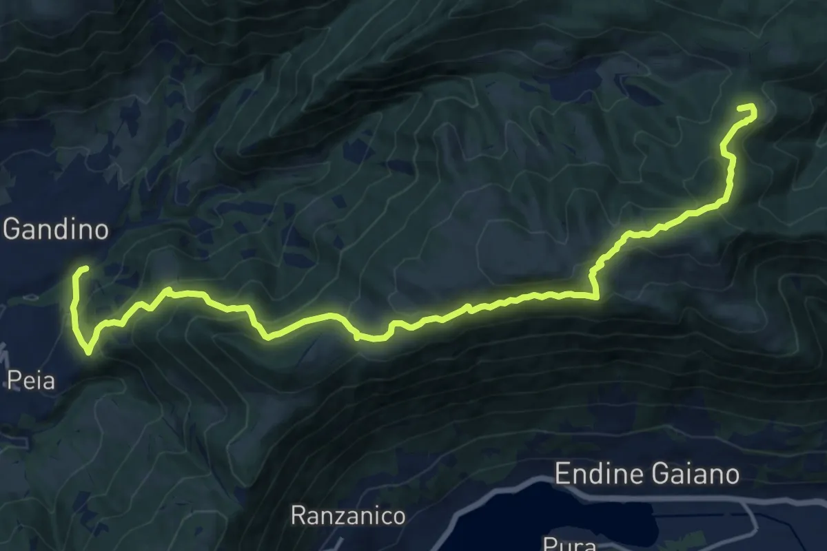
Demanding · Summit
Gandino – Monte di Sovere
17.9 km · ↑ 1135 m · 6 h 41 min · 13 km away
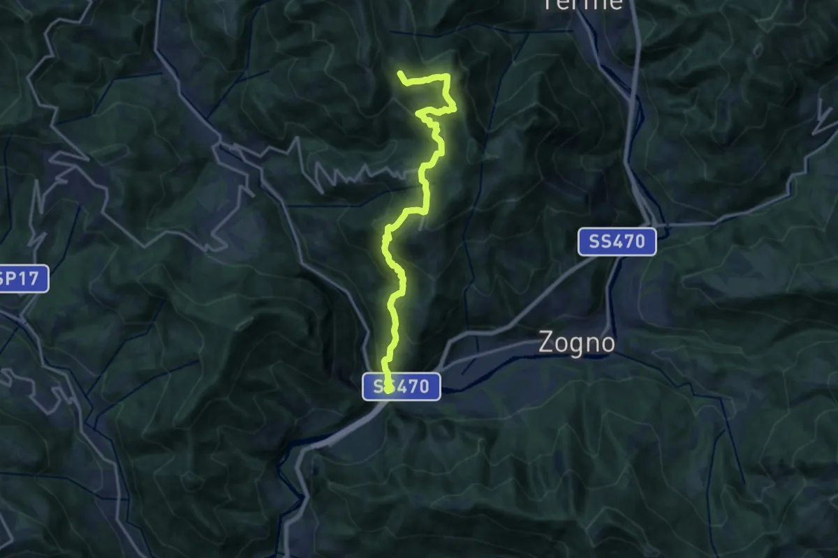
Demanding · Trail
Ponti di S. Antonio – Roccoli Spadì
14.5 km · ↑ 1073 m · 5 h 45 min · 14 km away
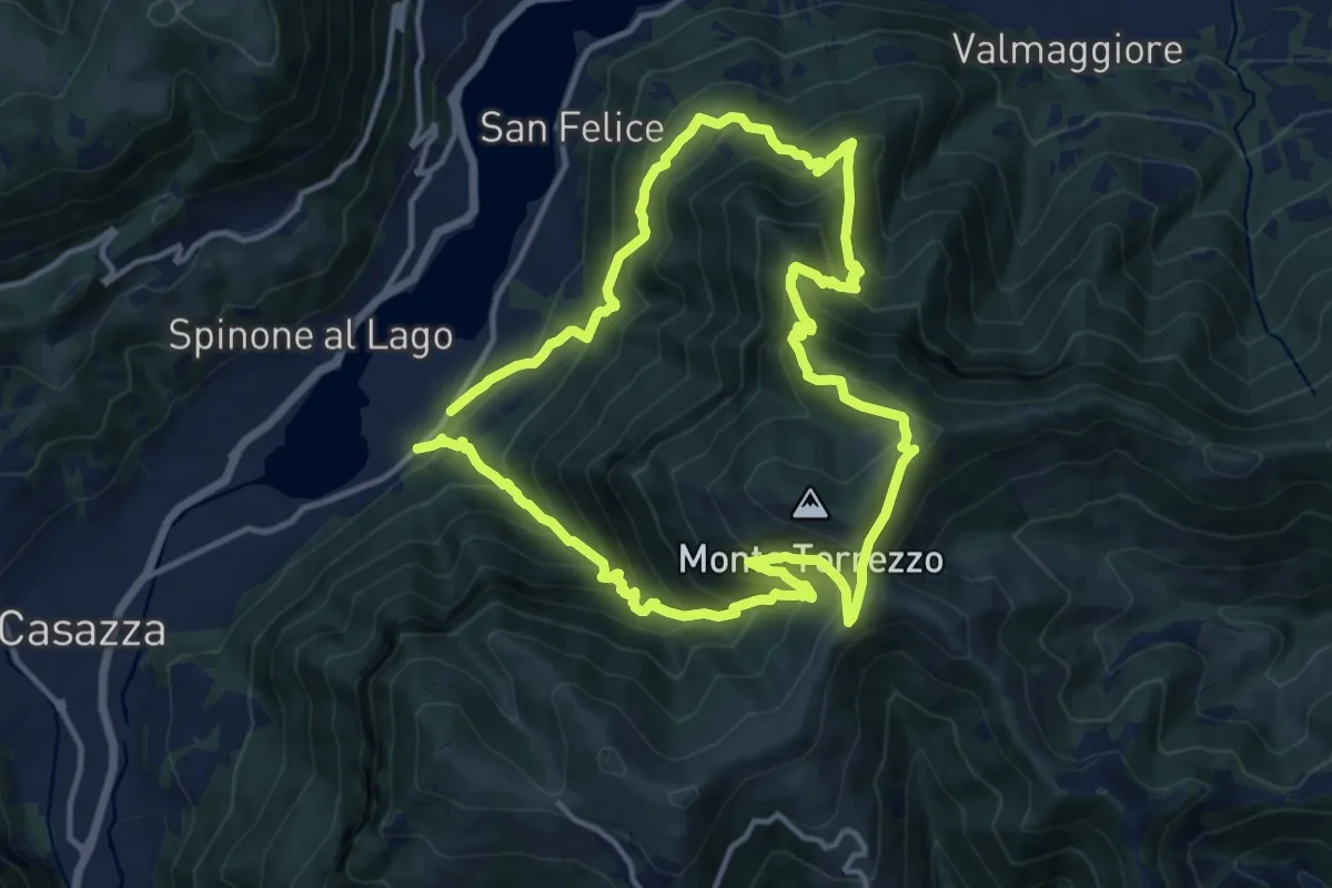
Demanding · Summit
Monasterolo del Castello – Monasterolo del Castello
12.8 km · ↑ 1048 m · 5 h 28 min · 14 km away
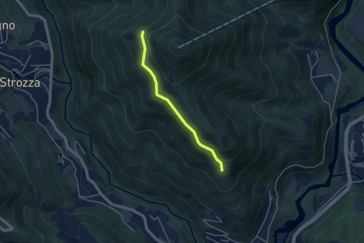
Medium · Trail
Incrocio 571 – Incrocio 584
2.7 km · ↑ 197 m · 1 h 4 min · 14 km away
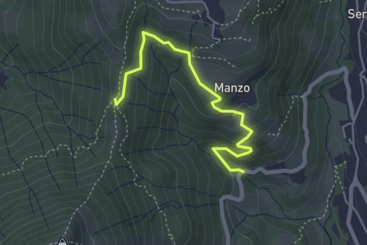
Easy · Trail
Sorgenti del Manzo – 3 Gobbe
3.7 km · ↑ 226 m · 1 h 22 min · 14 km away
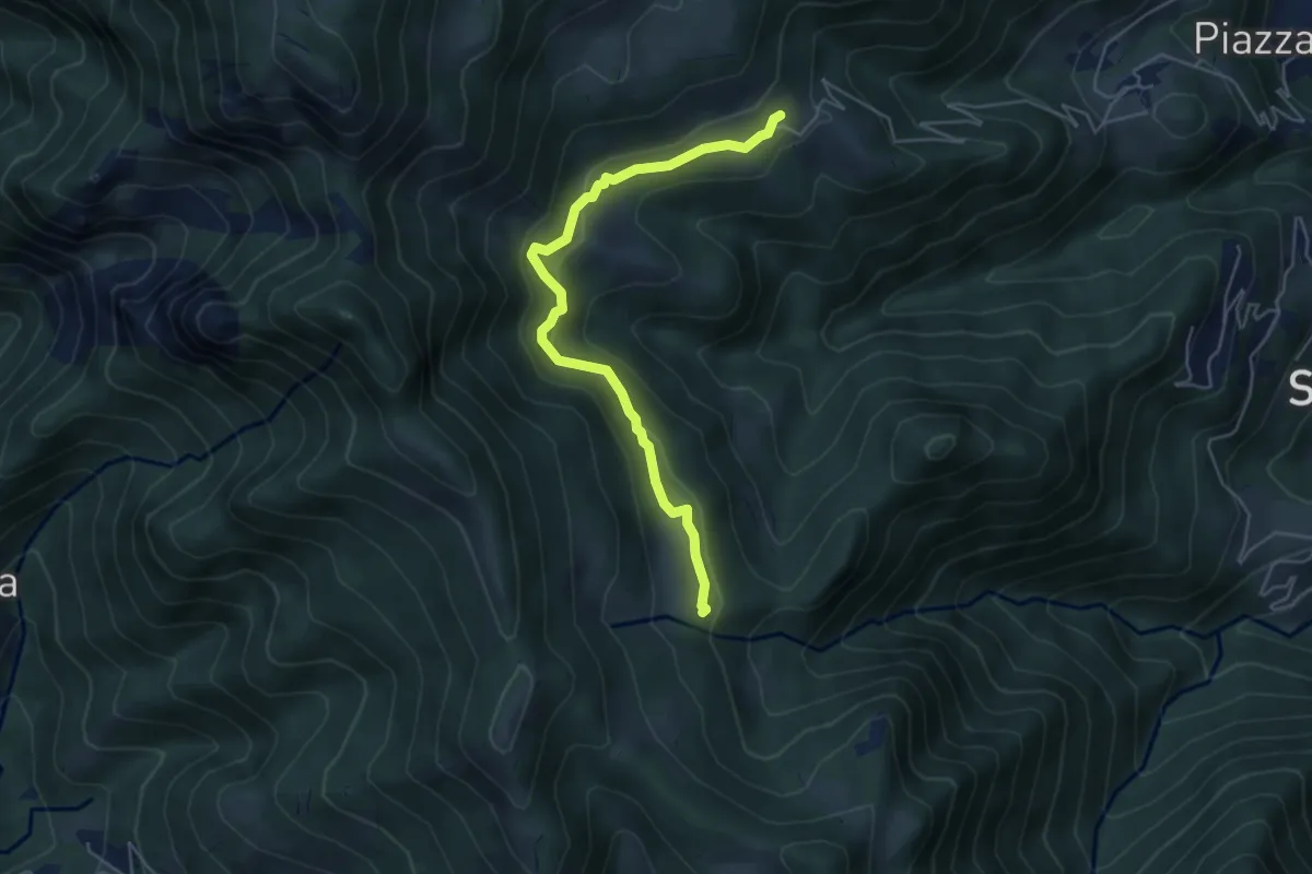
Easy · Trail
Sussia – Cà Boffelli
5.1 km · ↑ 243 m · 1 h 44 min · 14 km away