Trails near Oggiono
309 hikes starting within 15 km, nearest first.
Nearest first, page 3 of 7
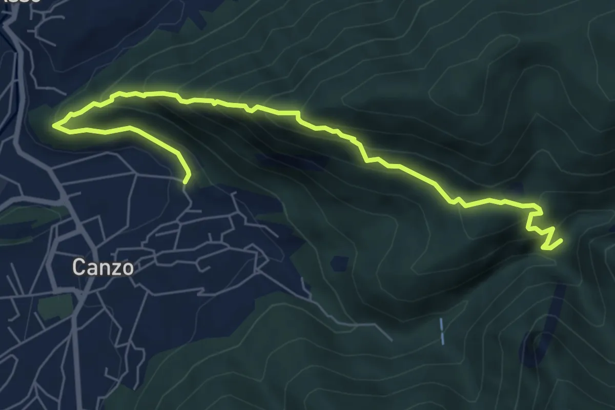
Medium · Trail
Ca' Bianca (Canzo) – Sentiero Geologico (San Miro)
7.2 km · ↑ 697 m · 3 h 12 min · 9 km away
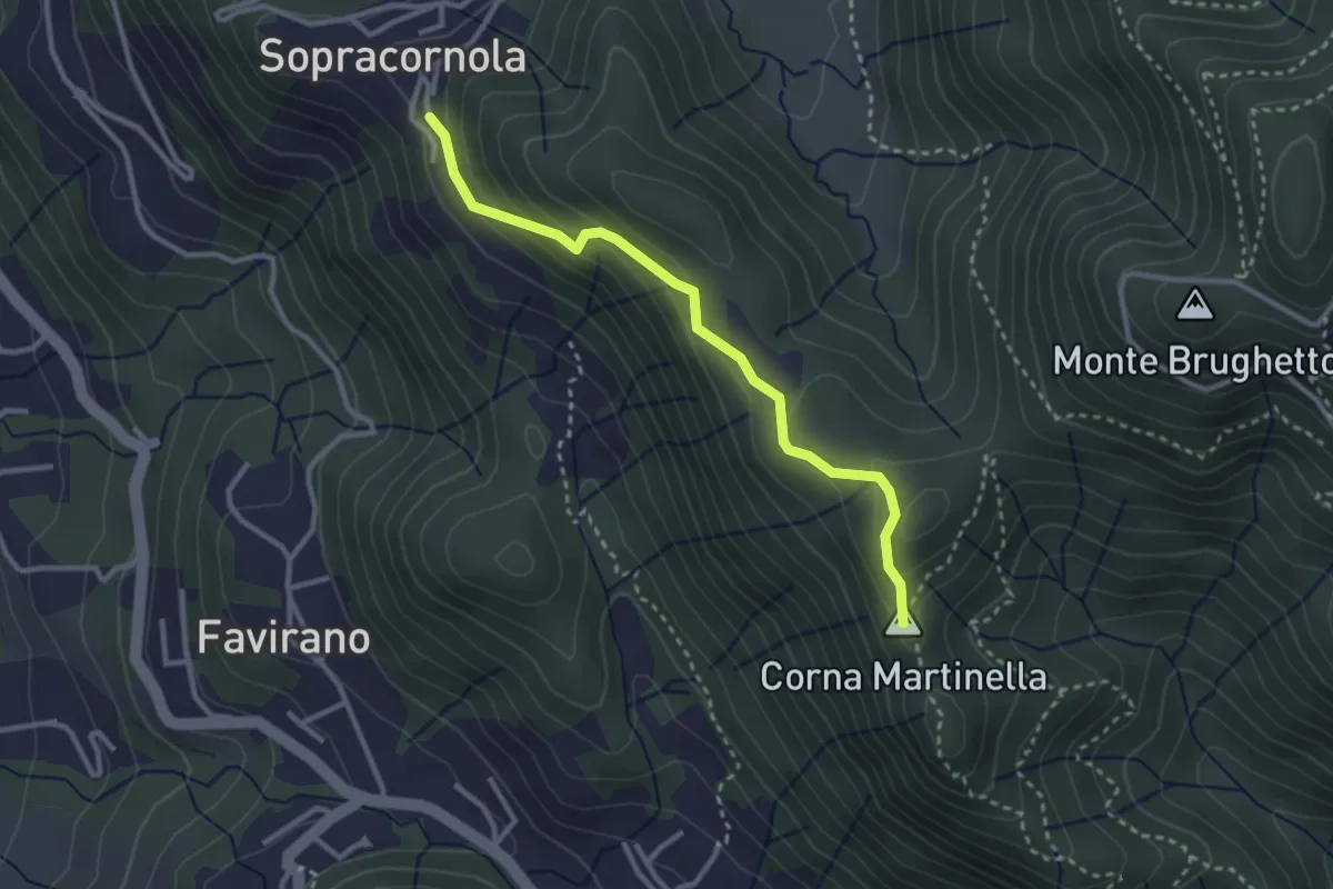
Easy · Summit
Torre de Busi – Sopracornola
2.9 km · ↑ 212 m · 1 h 9 min · 9 km away
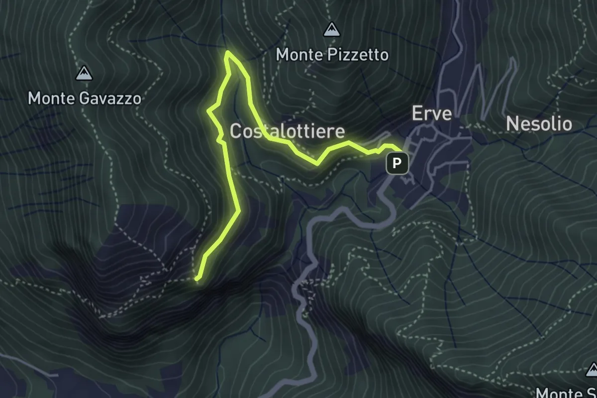
Easy · Trail
Erve – Croce di Vicerola
4.2 km · ↑ 219 m · 1 h 28 min · 9 km away
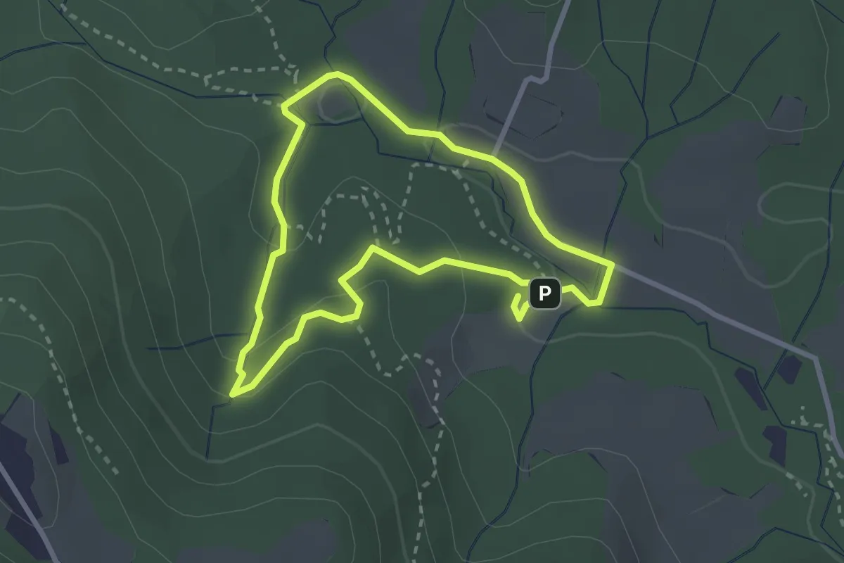
Easy · Trail
Percorso delle sorgenti petrificanti
2.5 km · ↑ 73 m · 46 min · 9 km away
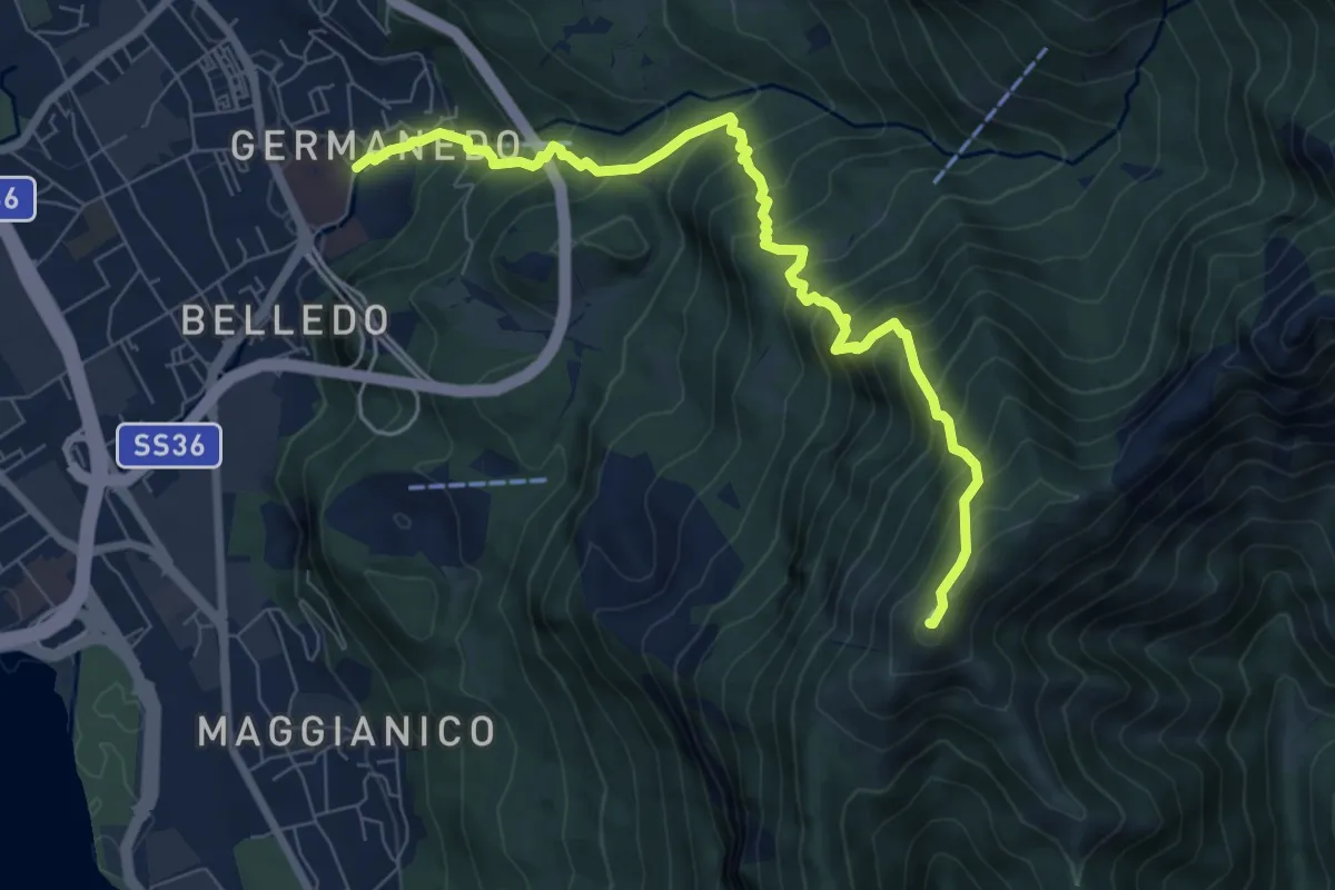
Demanding · Summit
Lecco Germanedo – Monte Magnodeno
8.0 km · ↑ 950 m · 3 h 57 min · 9 km away
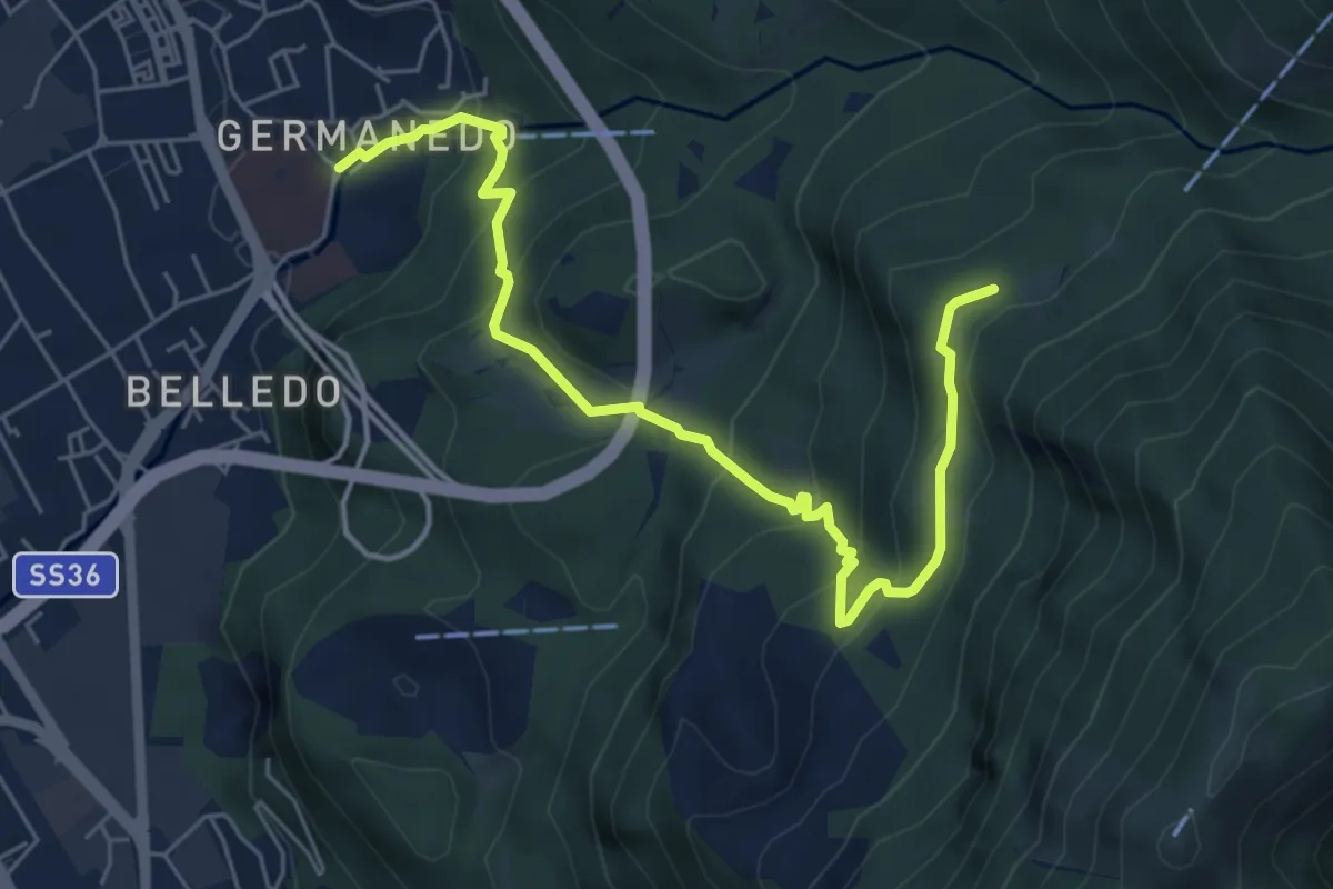
Medium · Trail
Lecco – Campo de' Boi, La Madonnina
6.5 km · ↑ 445 m · 2 h 31 min · 9 km away
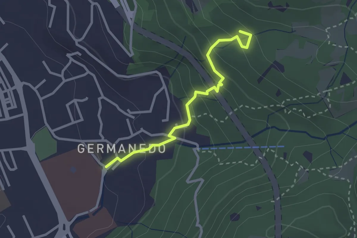
Easy · Trail
Lecco – Innesto su percorso 903
2.4 km · ↑ 183 m · 57 min · 9 km away
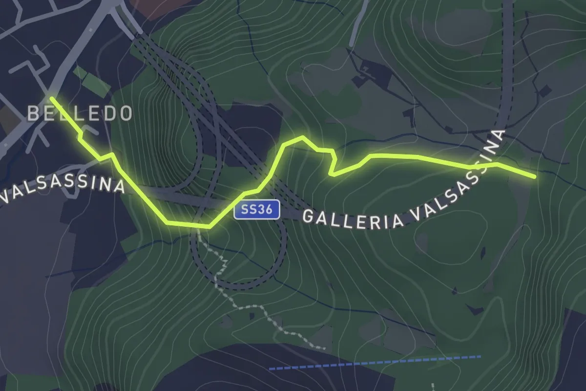
Easy · Trail
Belledo (Lecco) – Sentiero Rotary 920
2.7 km · ↑ 228 m · 1 h 8 min · 9 km away
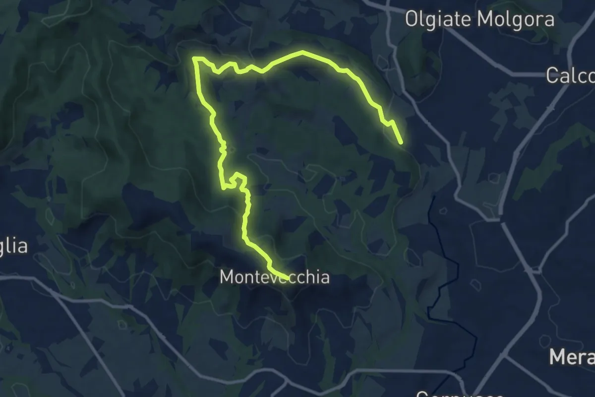
Medium · Summit
Cernusco Lombardone (FS) – Beolco
12.4 km · ↑ 430 m · 3 h 52 min · 9 km away
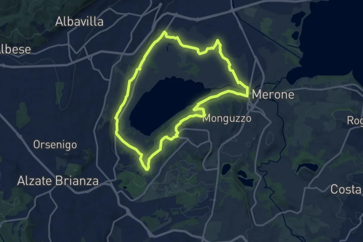
Medium · Trail
Attorno al lago di Alserio
11.3 km · ↑ 162 m · 3 h 11 min · 9 km away
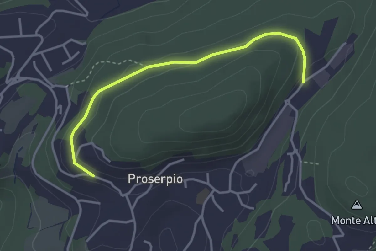
Easy · Trail
Rusera (Proserpio) – Zona industriale di Proseprio
3.1 km · ↑ 50 m · 51 min · 9 km away
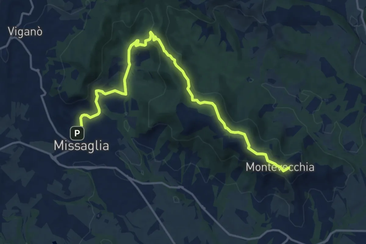
Medium · Summit
Montevecchia – Missaglia
12.8 km · ↑ 341 m · 3 h 45 min · 9 km away
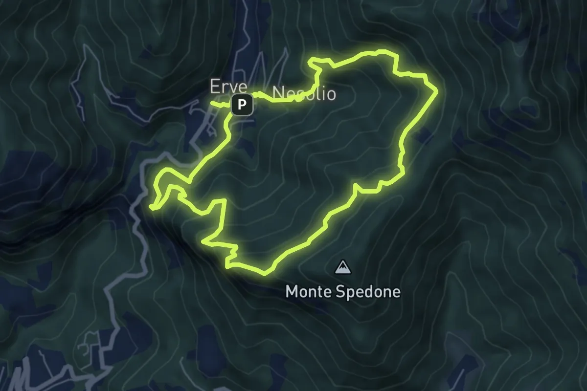
Demanding · Trail
Erve – Erve
6.1 km · ↑ 678 m · 3 h · 9 km away
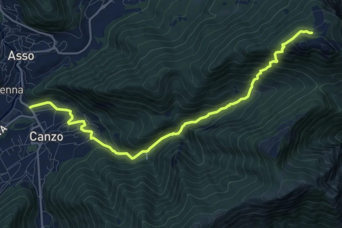
Demanding · Cabin
Stazione Canzo-Asso – Rifugio SEC "Marisa Consigliere"
11.9 km · ↑ 910 m · 4 h 46 min · 9 km away
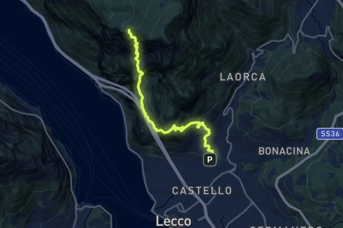
Expert · Summit
Lecco (San Giovanni) – Pian dei Resinelli
10.0 km · ↑ 1587 m · 5 h 47 min · 9 km away
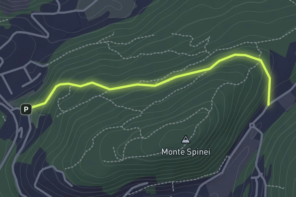
Easy · Trail
Bosco della Gualdera – Zona industriale di Proseprio
2.6 km · ↑ 85 m · 48 min · 9 km away
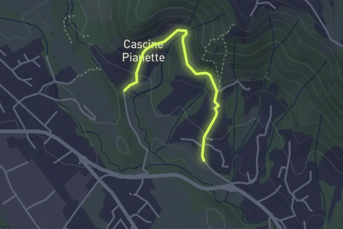
Easy · Trail
Cascina Oliva – Cascina Pianetta Prima
2.8 km · ↑ 163 m · 1 h 1 min · 9 km away
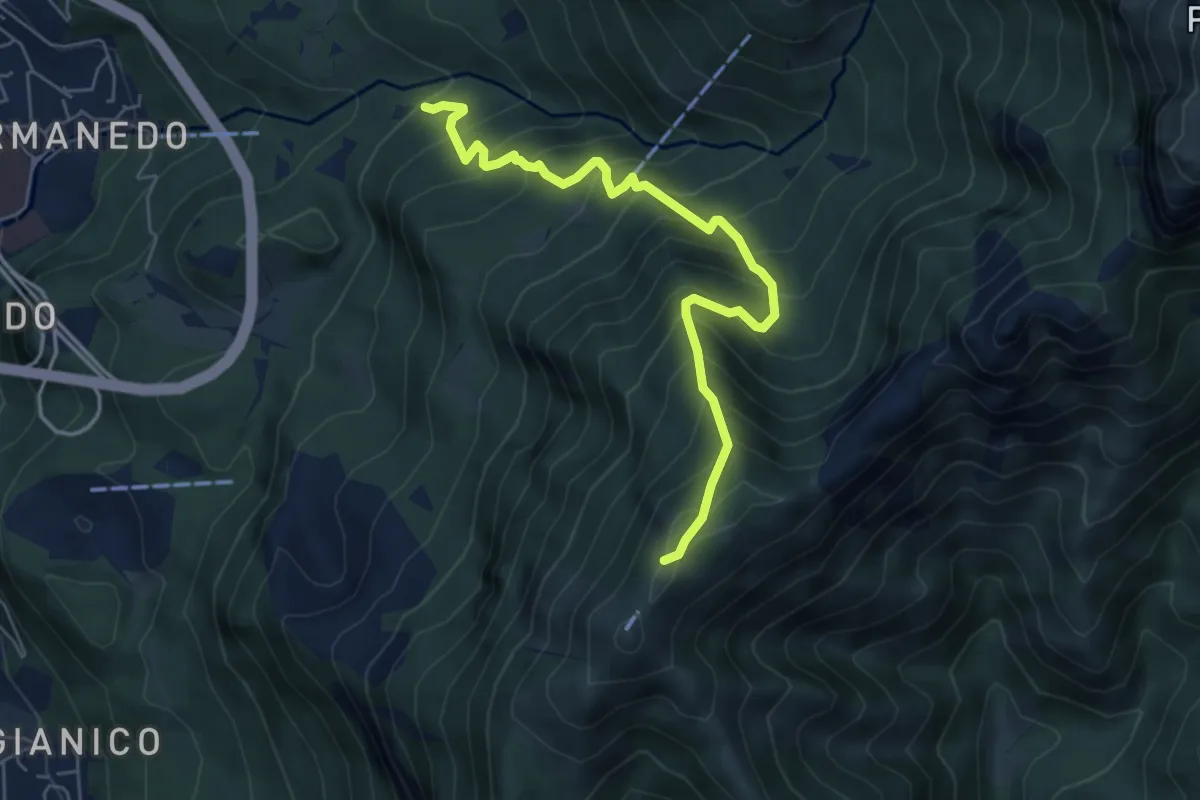
Medium · Trail
Innesto percorso 927 – Monte Magnodeno, innesto percorso 927
6.2 km · ↑ 754 m · 3 h 5 min · 9 km away
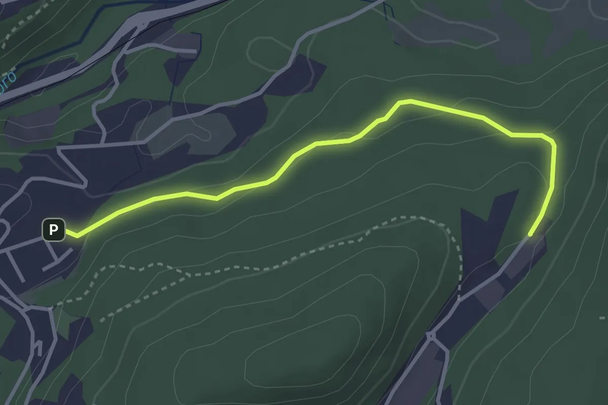
Easy · Trail
Sasso del Numero – Zona industriale di Proseprio
3.3 km · ↑ 99 m · 59 min · 9 km away
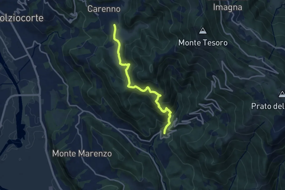
Medium · Trail
Carenno – Torre de' Busi
8.8 km · ↑ 708 m · 3 h 37 min · 9 km away
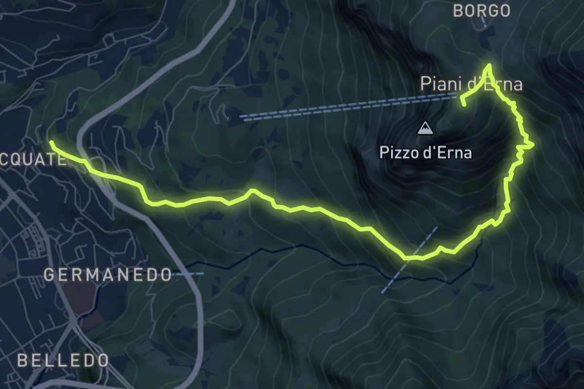
Demanding · Trail
Acquate – Piani d'Erna, funivia
10.6 km · ↑ 997 m · 4 h 40 min · 9 km away
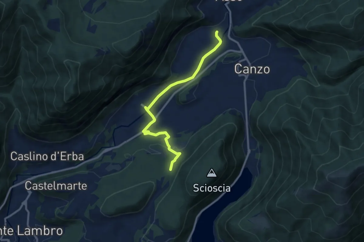
Easy · Trail
Scarenna (Asso) – Bosco della Gualdera
7.6 km · ↑ 145 m · 2 h 7 min · 9 km away
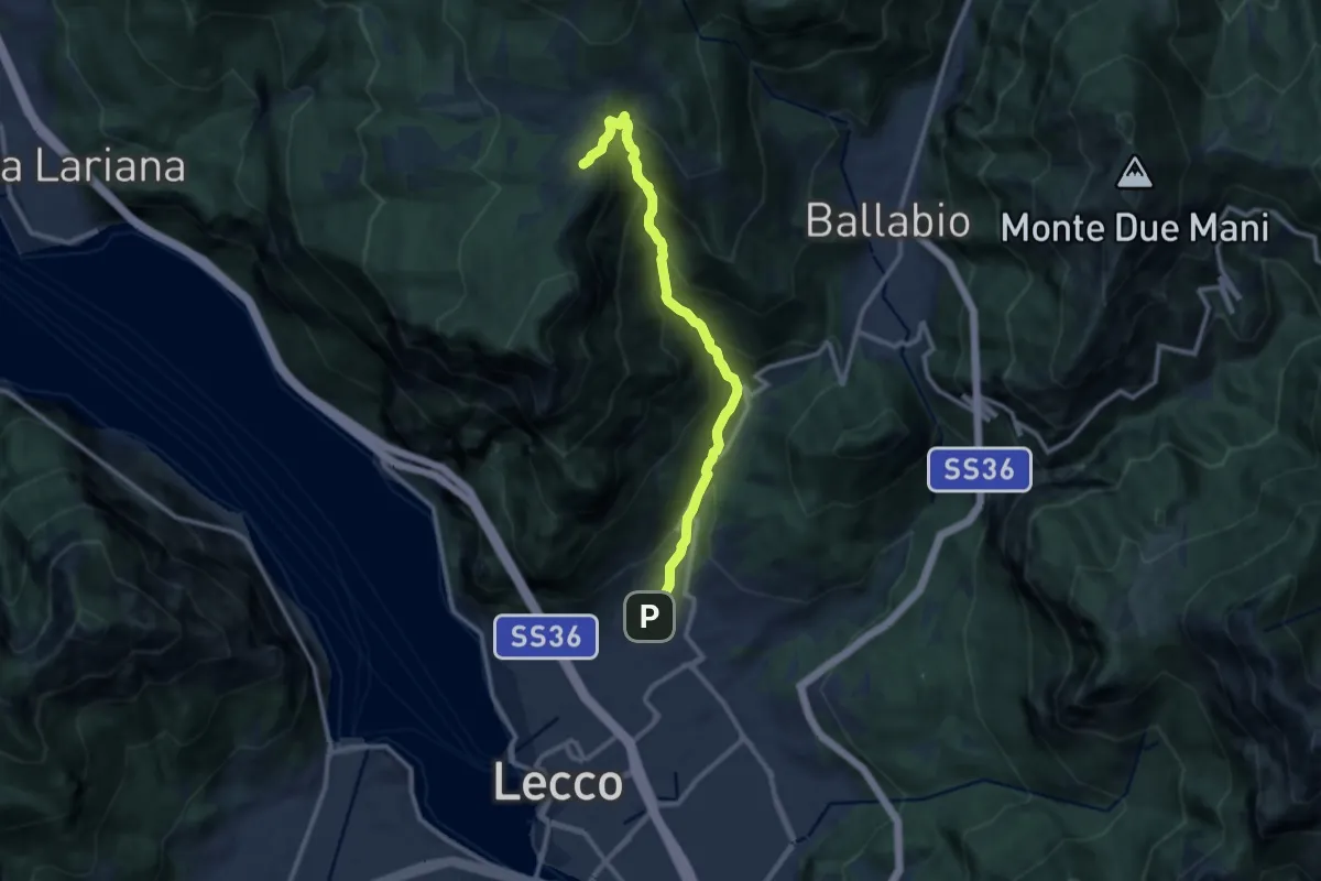
Demanding · Cabin
Sentiero della Val Calolden
10.5 km · ↑ 1010 m · 4 h 40 min · 9 km away
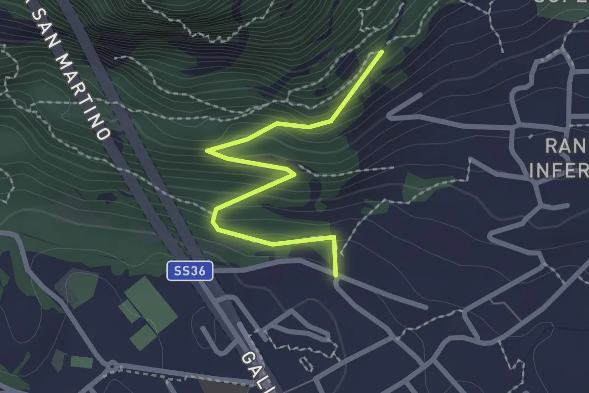
Easy · Trail
Lecco (via Ronco Inferiore) – Incrocio 552_1
2.1 km · ↑ 168 m · 52 min · 9 km away
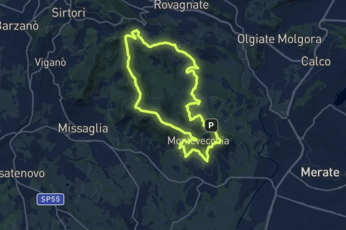
Medium · Summit
Percorso geologico
13.3 km · ↑ 473 m · 4 h 22 min · 9 km away
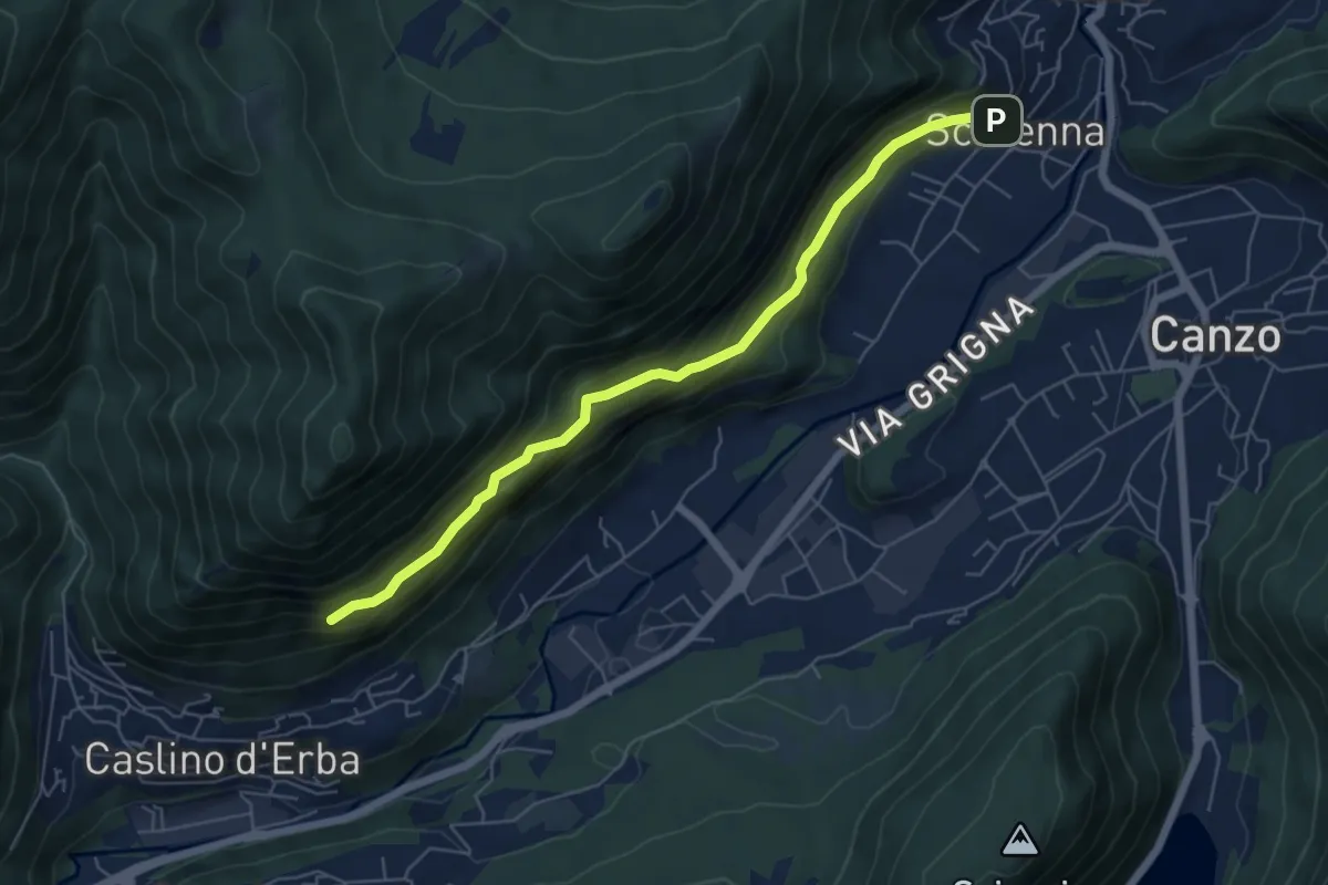
Demanding · Trail
Scarenna – Sentiero Falghèe
6.0 km · ↑ 565 m · 2 h 39 min · 10 km away
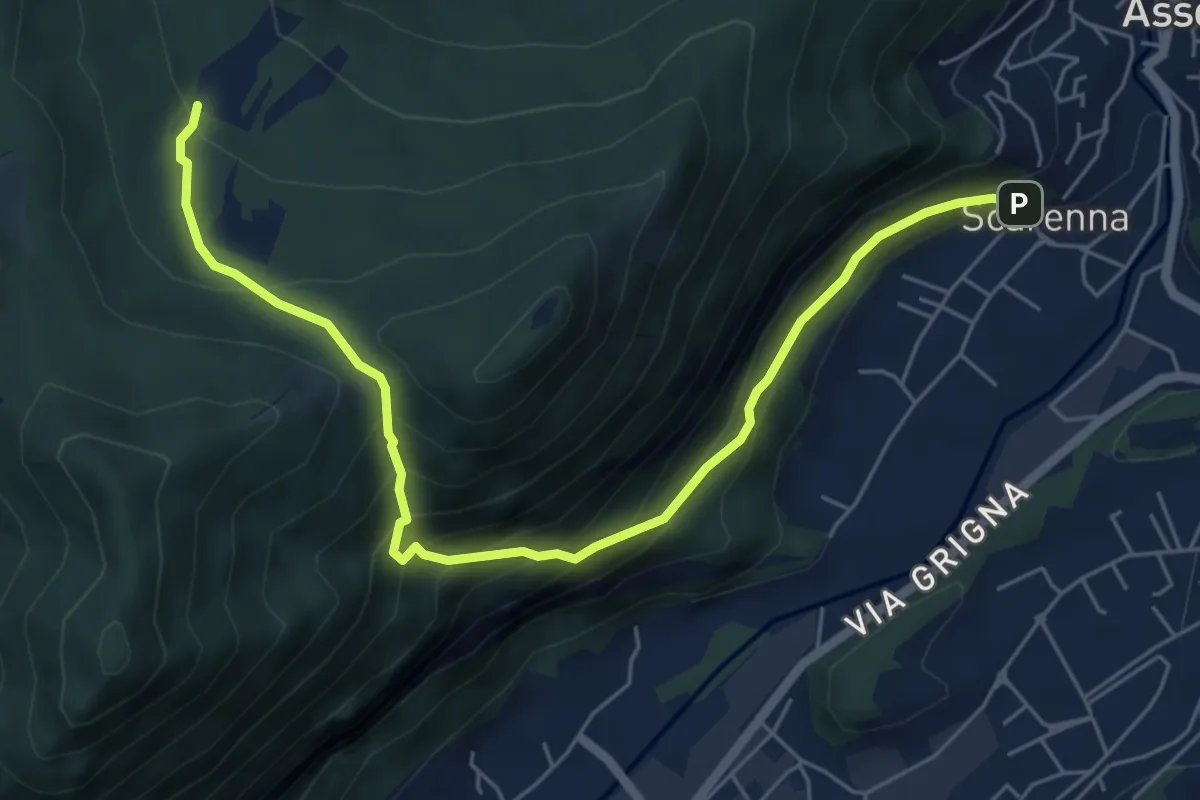
Demanding · Trail
Scarenna – Enco
6.7 km · ↑ 629 m · 2 h 57 min · 10 km away
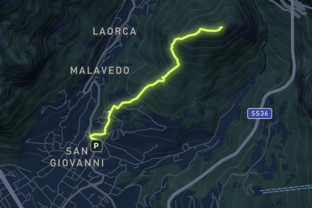
Medium · Summit
Lecco (Varigione) – Monte Melma
5.3 km · ↑ 554 m · 2 h 27 min · 10 km away
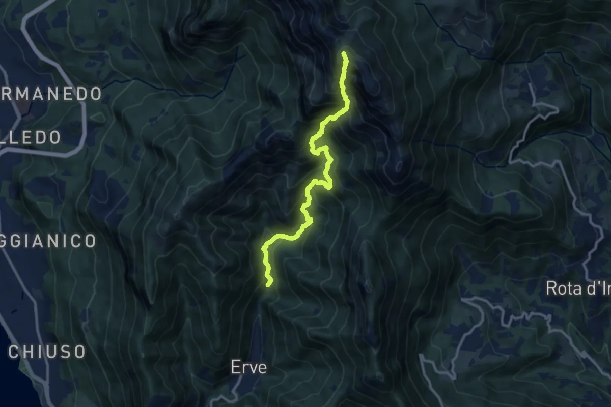
Expert · Summit
Erve – Rifugio Azzoni
9.6 km · ↑ 1242 m · 4 h 57 min · 10 km away
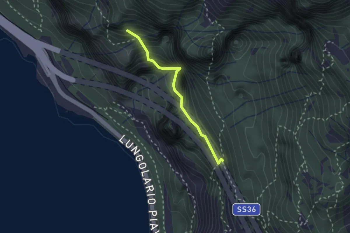
Demanding · Summit
Sentiero Costantino Fiocchi
1.8 km · ↑ 629 m · 1 h 48 min · 10 km away
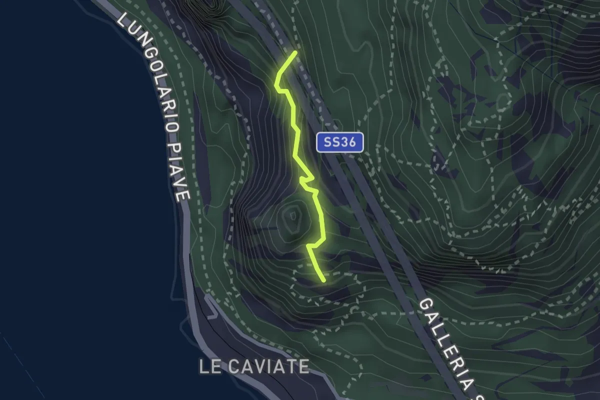
Expert · Summit
Sentiero Piero Pensa
1.6 km · ↑ 311 m · 1 h 2 min · 10 km away
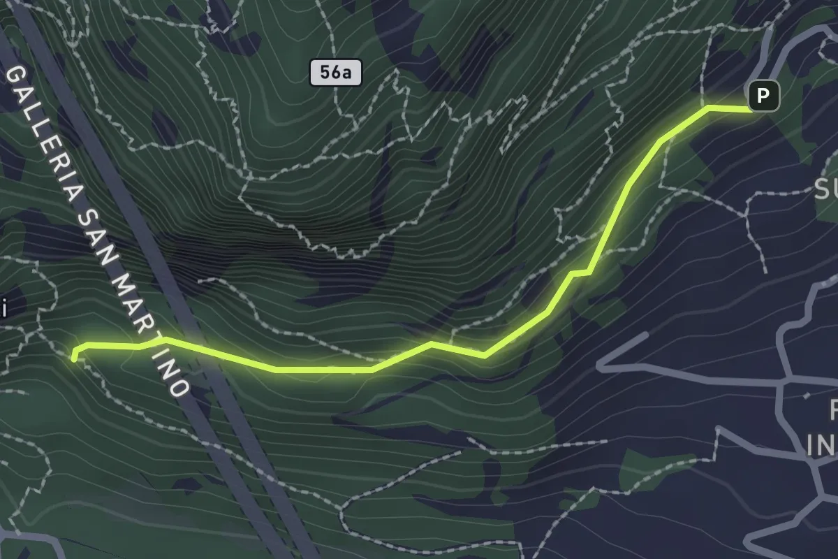
Medium · Trail
Incrocio 552 – Incrocio 553_1
2.1 km · ↑ 156 m · 50 min · 10 km away
Demanding · Summit
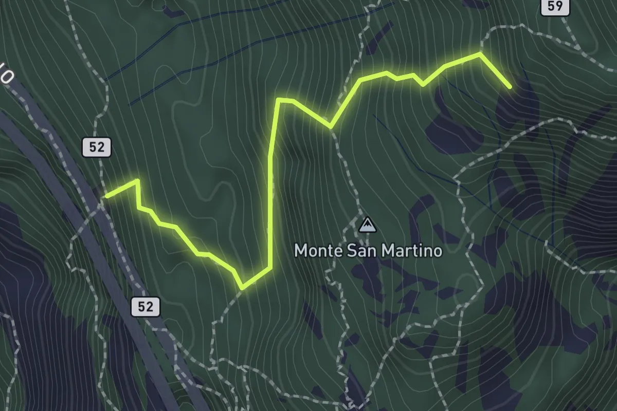
Rifugio Riccardo Piazza – Corno Medale
2.1 km · ↑ 415 m · 1 h 24 min · 10 km away
Medium · Trail
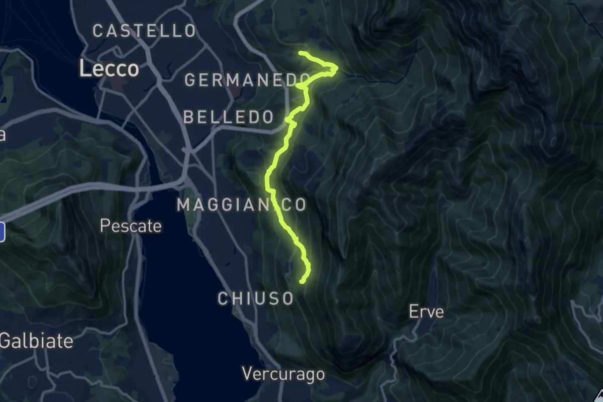
Percorso Giorgio Combi
10.5 km · ↑ 564 m · 3 h 43 min · 10 km away
Medium · Summit
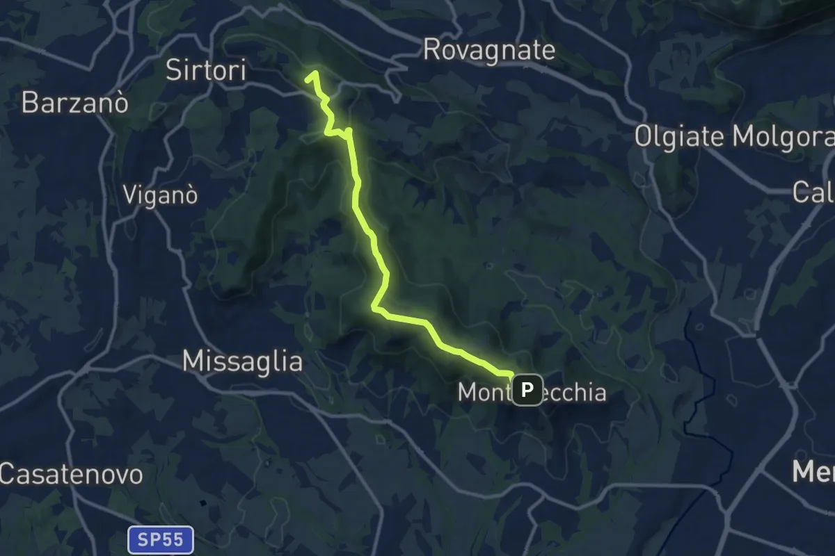
Ceregallo – Montevecchia alta
10.2 km · ↑ 305 m · 3 h 5 min · 10 km away
Easy · Trail
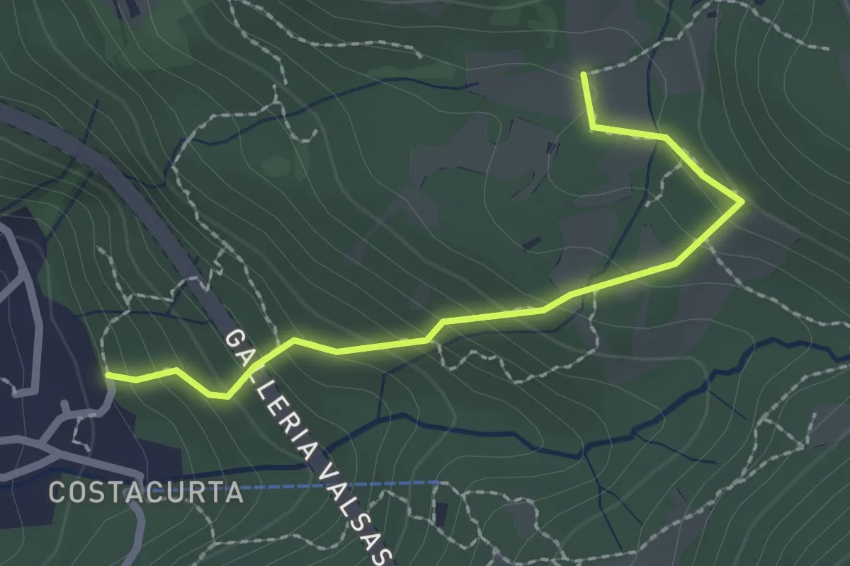
Germanedo, innesto percorso 903-1 – Cavagiozzo, innesto percorso 903
2.1 km · ↑ 196 m · 56 min · 10 km away
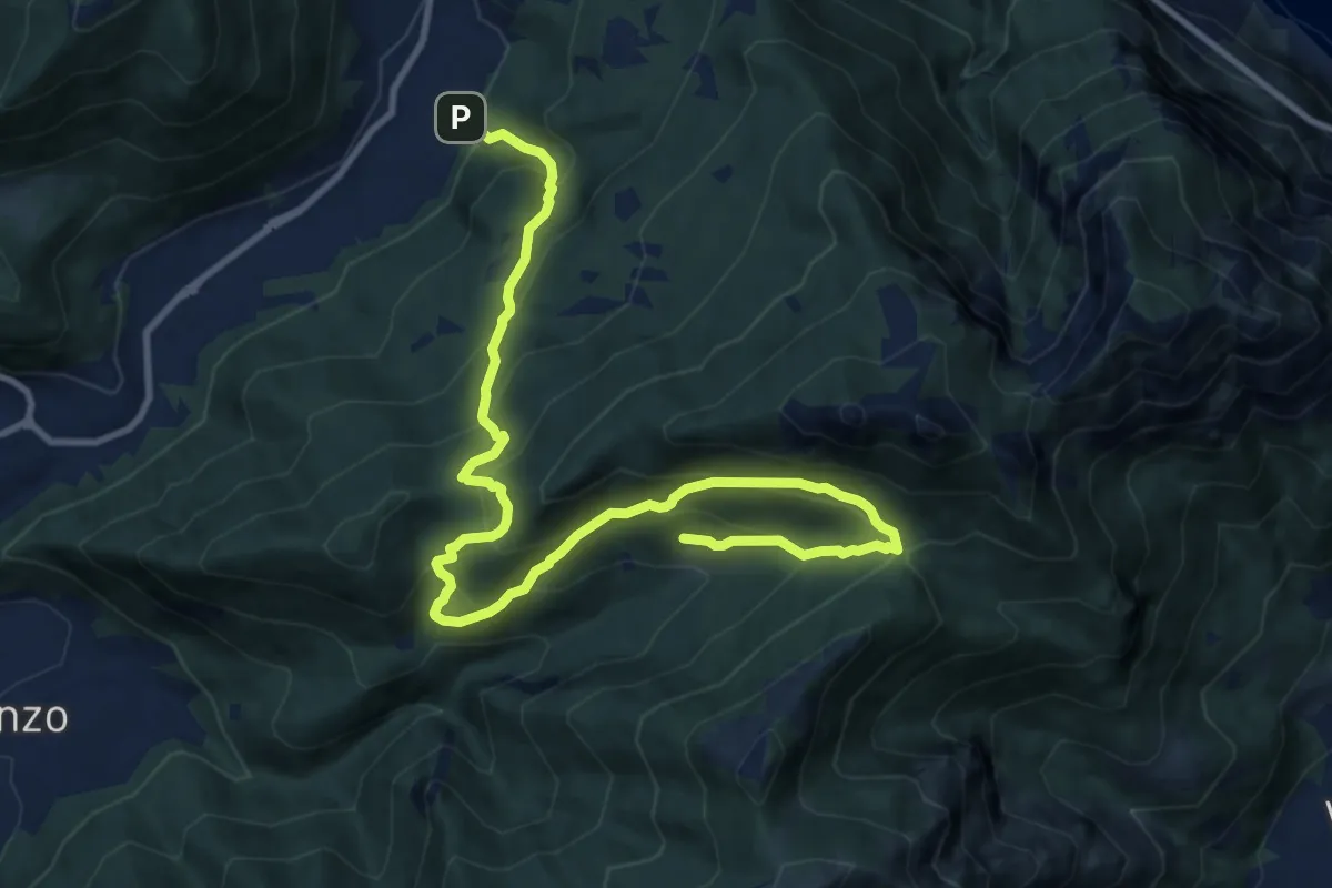
Demanding · Trail
Candalino – Terz'Alpe
13.4 km · ↑ 1138 m · 5 h 37 min · 10 km away
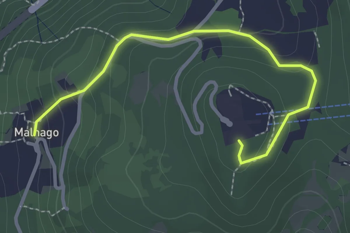
Easy · Trail
Malnago – Piazzale funivia per Erna
2.5 km · ↑ 112 m · 50 min · 10 km away
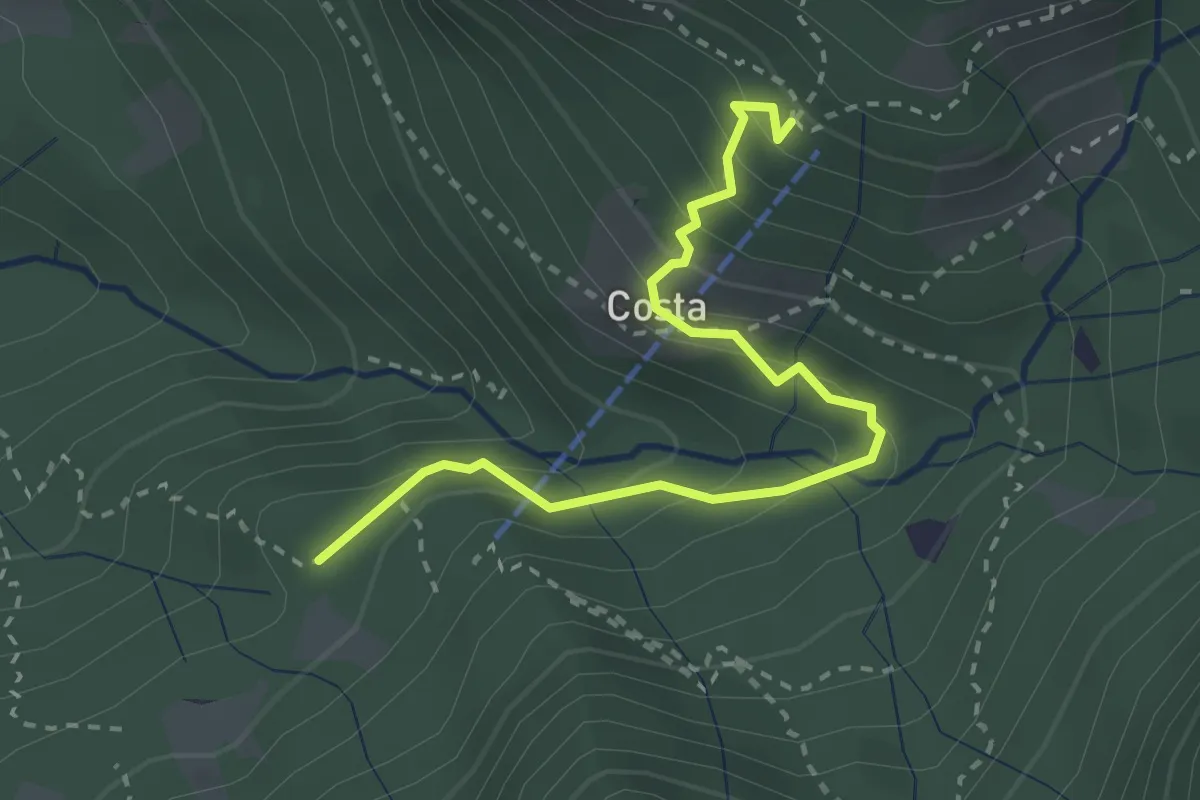
Medium · Cabin
Innesto 919 – Rifugio Sotppani
3.0 km · ↑ 272 m · 1 h 18 min · 10 km away
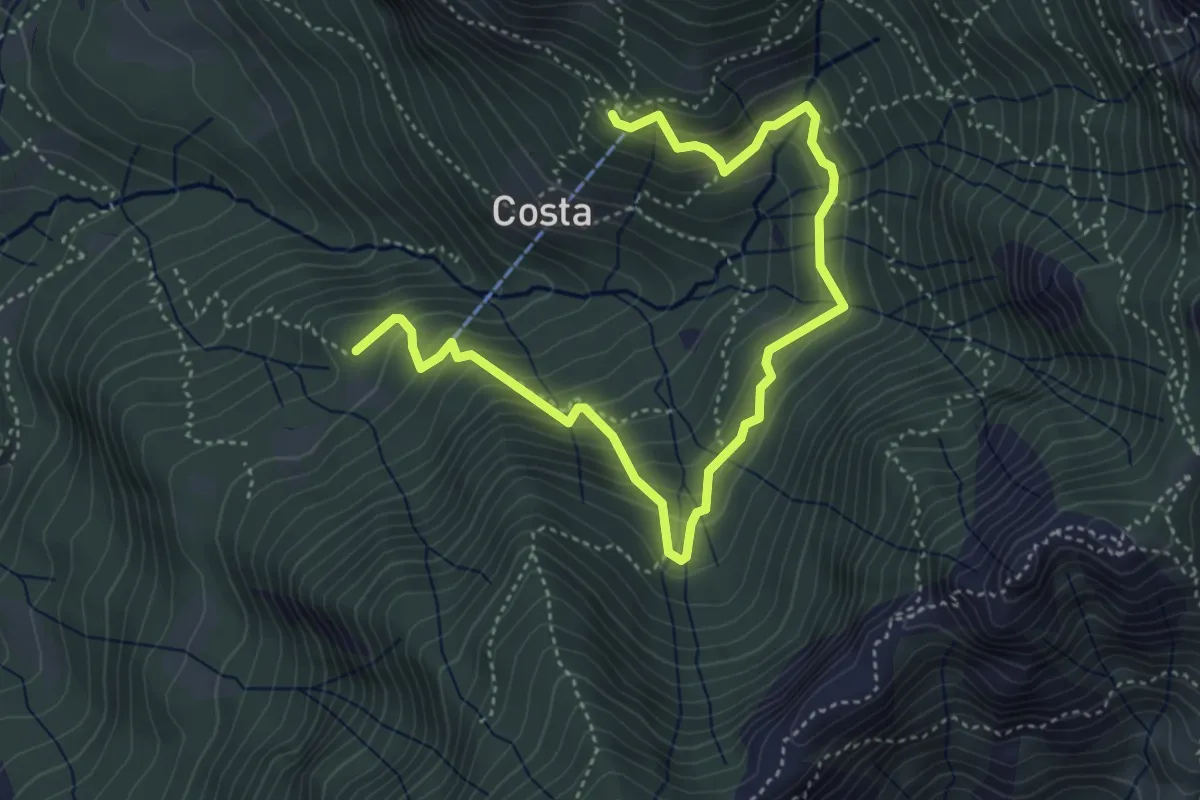
Medium · Cabin
Rifugio Stoppani – Innesto sentiero 919
5.6 km · ↑ 532 m · 2 h 28 min · 10 km away
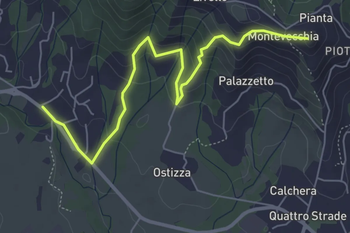
Medium · Summit
Lomaniga – Beolco
5.8 km · ↑ 304 m · 2 h 2 min · 10 km away
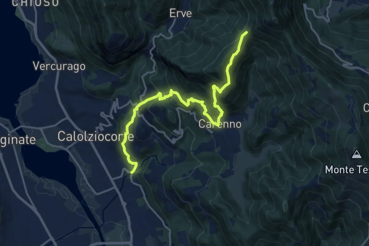
Demanding · Trail
Serta (Calolziocorte) – Passo della Pertulena
12.4 km · ↑ 967 m · 5 h 2 min · 10 km away
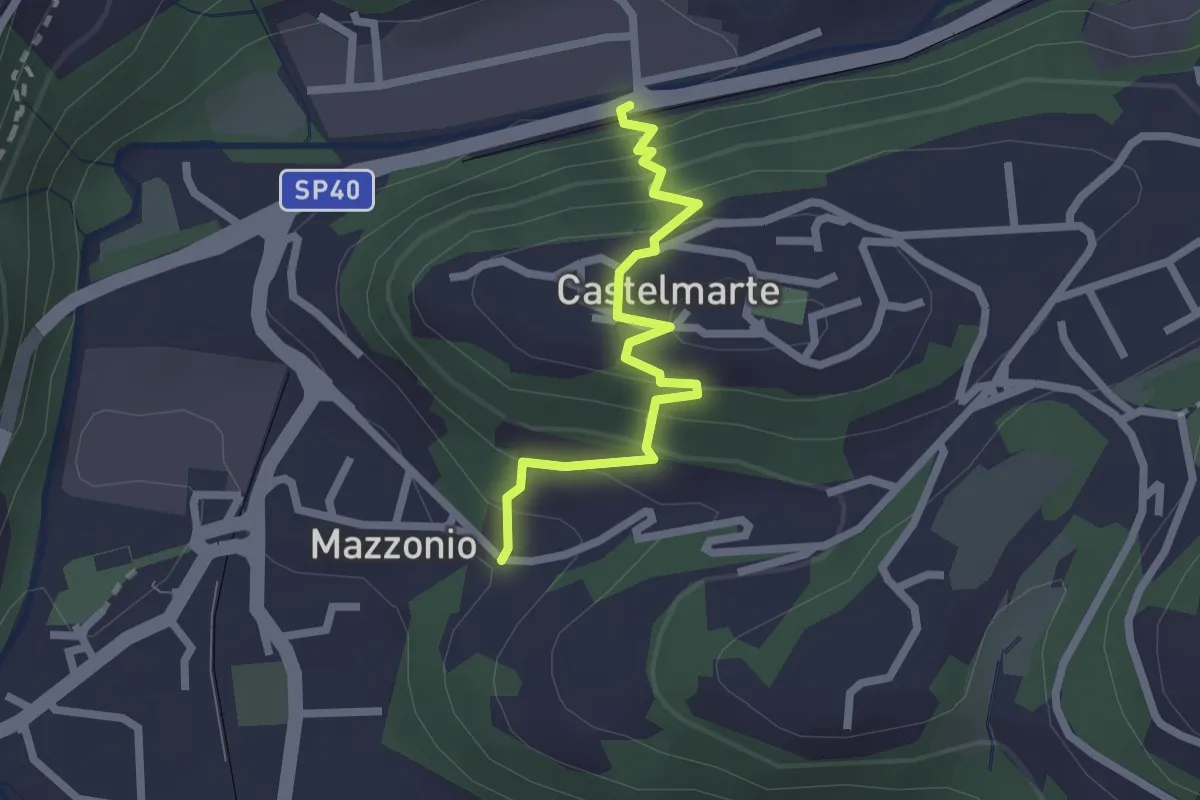
Easy · Trail
Stazione di Caslino d'Erba – Mazzonio (Ponte Lambro)
2.2 km · ↑ 199 m · 56 min · 10 km away
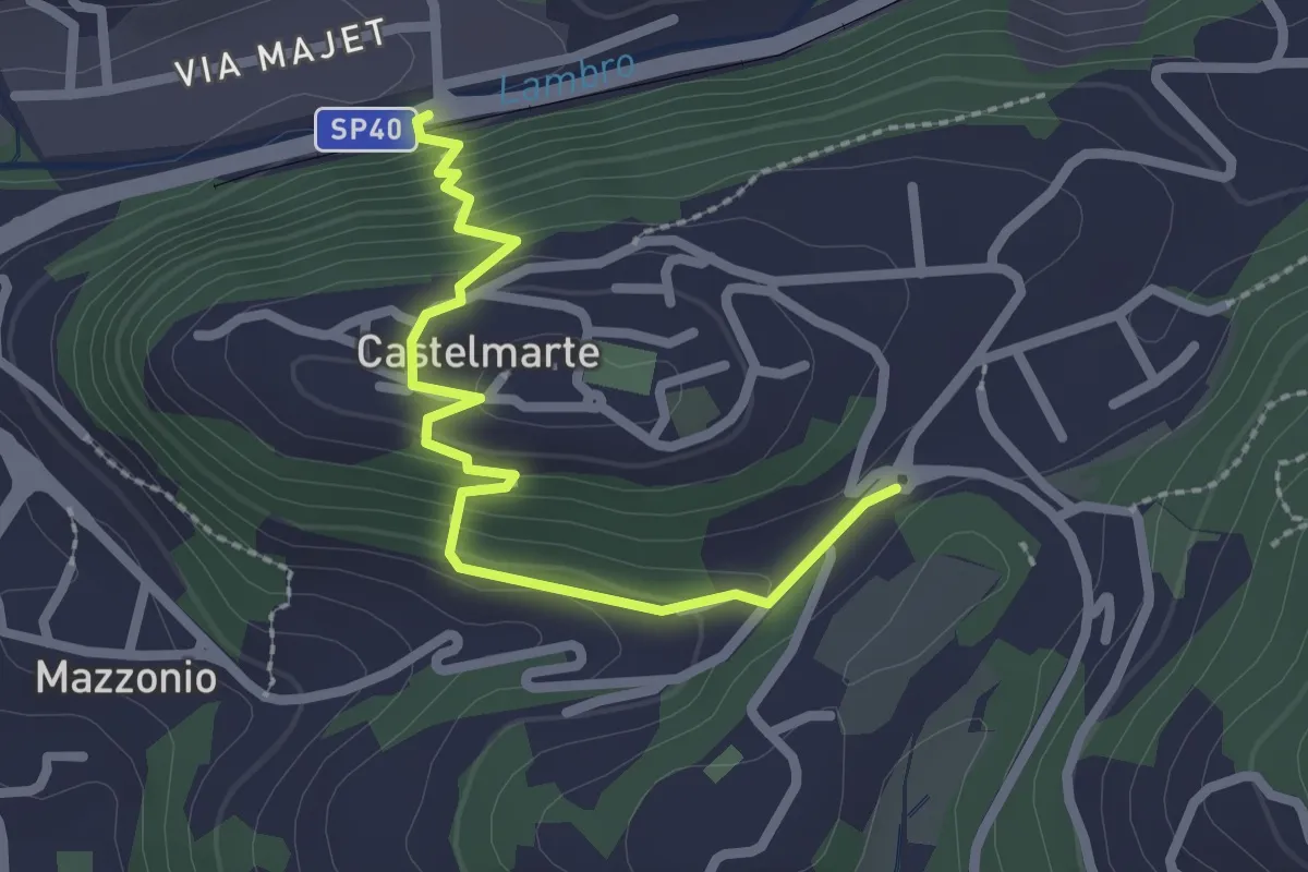
Easy · Trail
Stazione di Caslino d'Erba – Castelmarte
2.5 km · ↑ 179 m · 58 min · 10 km away
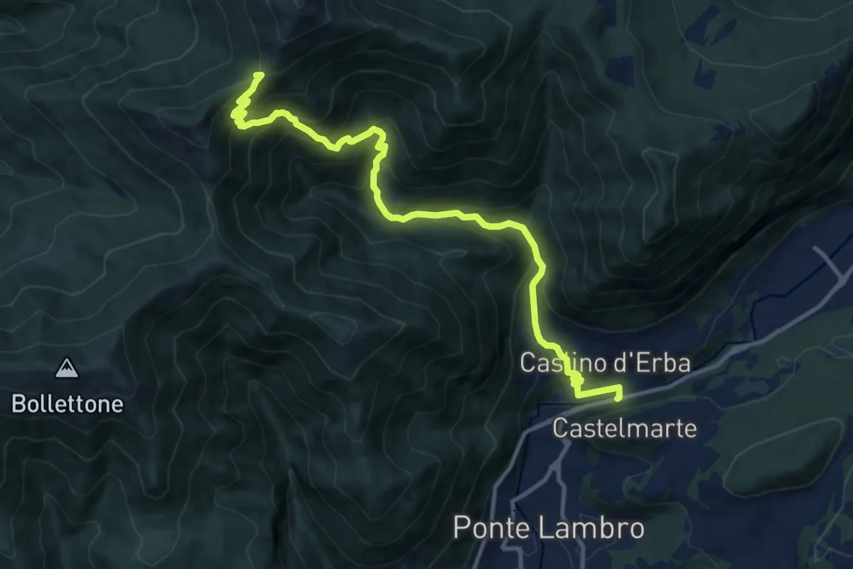
Demanding · Trail
Caslino d'Erba – Bocchetta di Palanzo
11.7 km · ↑ 912 m · 4 h 45 min · 10 km away
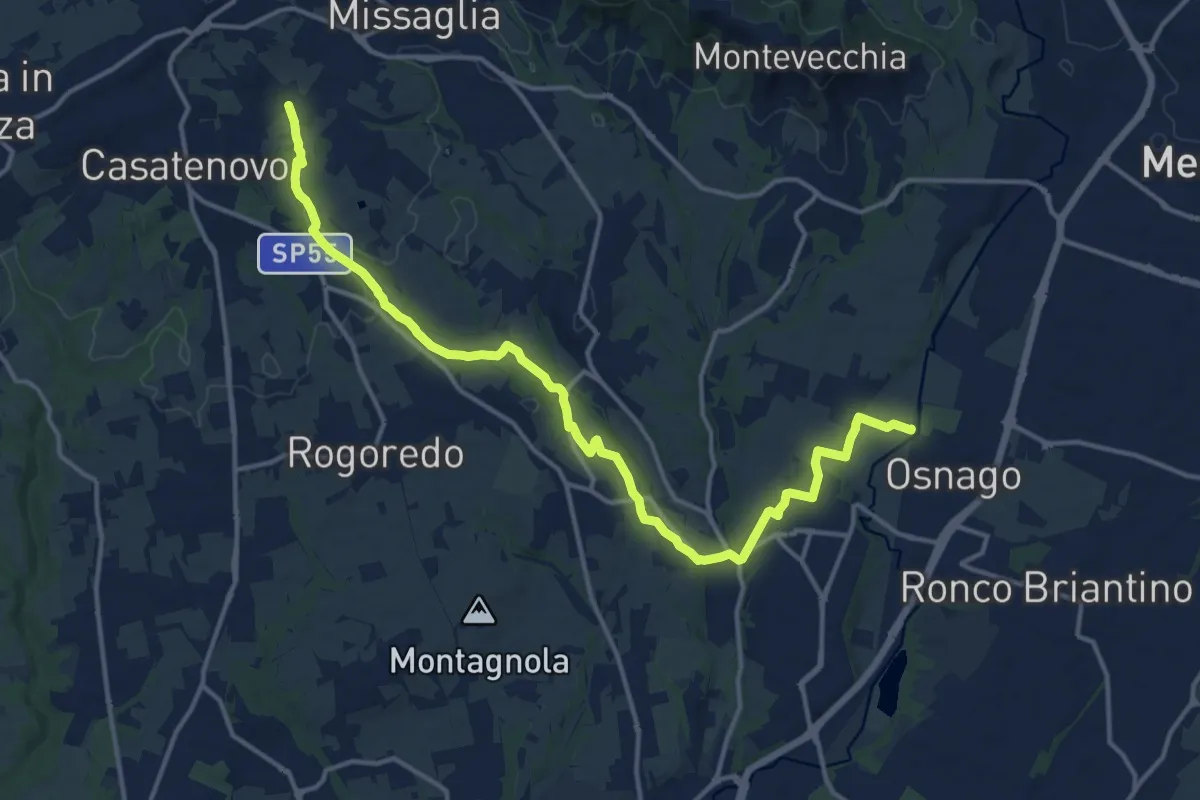
Medium · Trail
Osnago – Misericordia
17.0 km · ↑ 173 m · 4 h 24 min · 10 km away
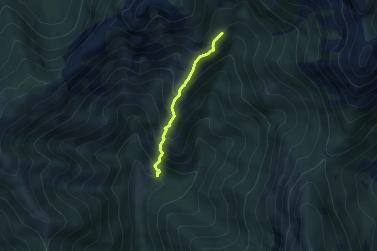
Demanding · Trail
Sentiero 803 – Sentiero 803
2.7 km · ↑ 404 m · 1 h 31 min · 10 km away
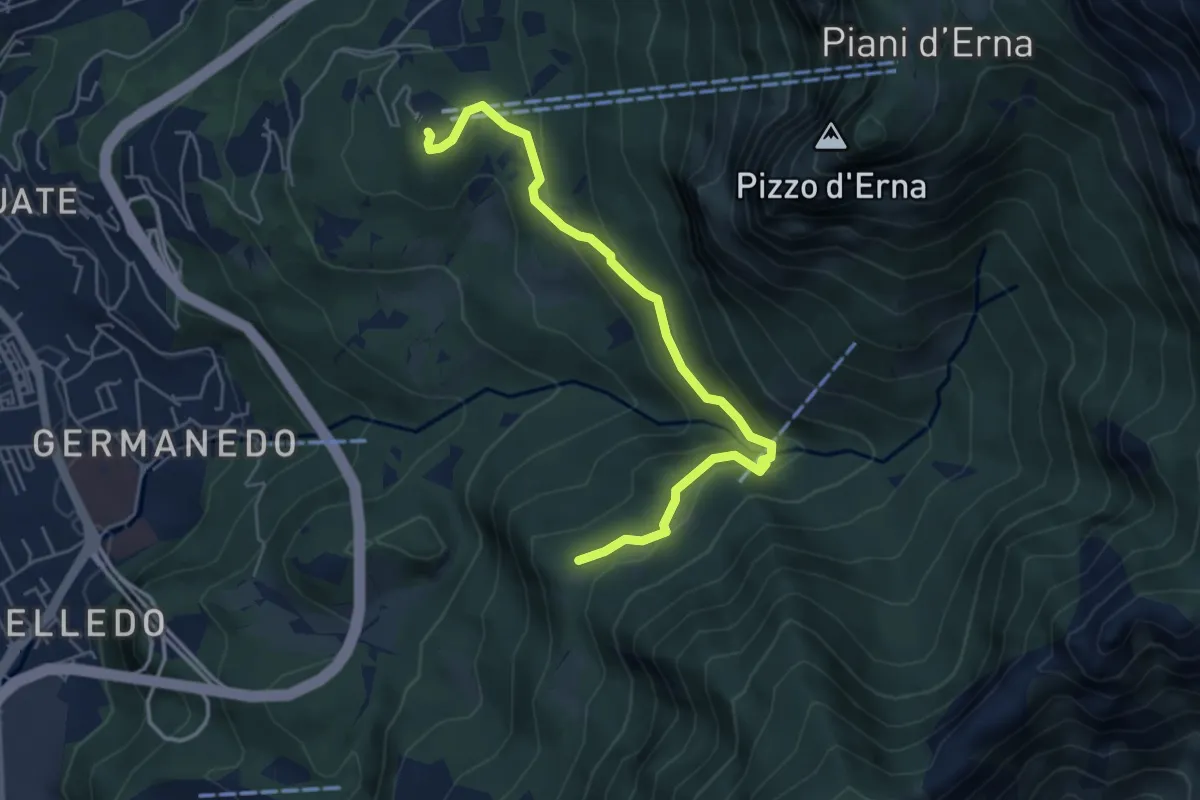
Easy · Trail
Piazzale funivia – Campo de' Boi - La Madonnina
5.5 km · ↑ 212 m · 1 h 45 min · 10 km away