Trails near Oggiono
309 hikes starting within 15 km, nearest first.
Nearest first, page 4 of 7
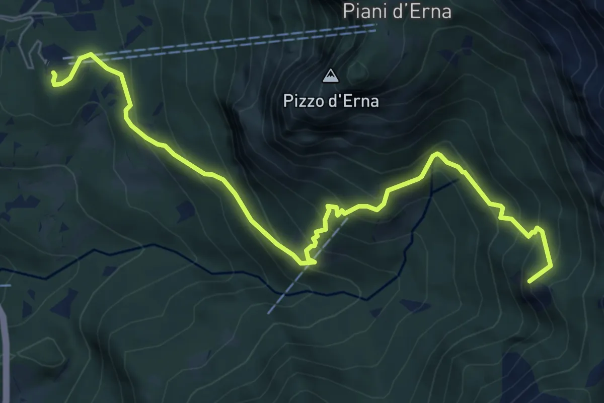
Medium · Summit
Piazzale funivia per Piani d'Erna – Rif. Alpinisti Monzesi
7.7 km · ↑ 658 m · 3 h 15 min · 10 km away
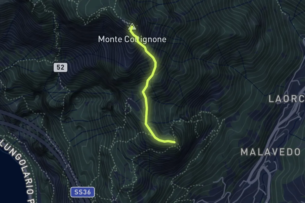
Expert · Summit
Sentiero GER
2.6 km · ↑ 532 m · 1 h 45 min · 10 km away
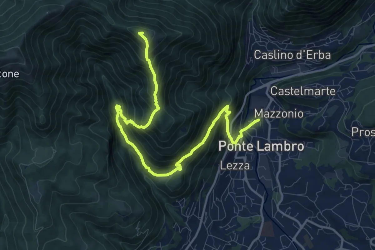
Demanding · Summit
Ponte Lambro – Monte Puscio
11.7 km · ↑ 1032 m · 5 h · 10 km away
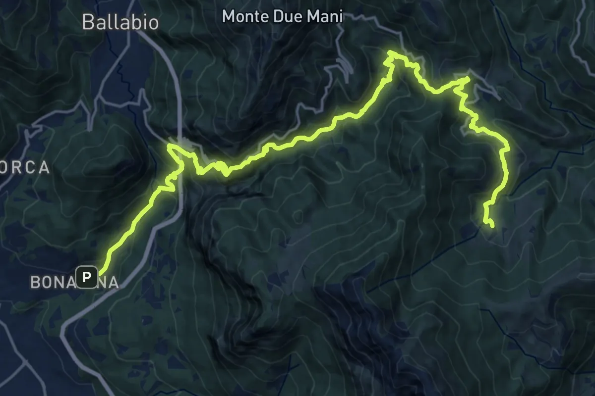
Demanding · Trail
Bonacina – Morterone
11.5 km · ↑ 1187 m · 5 h 5 min · 10 km away
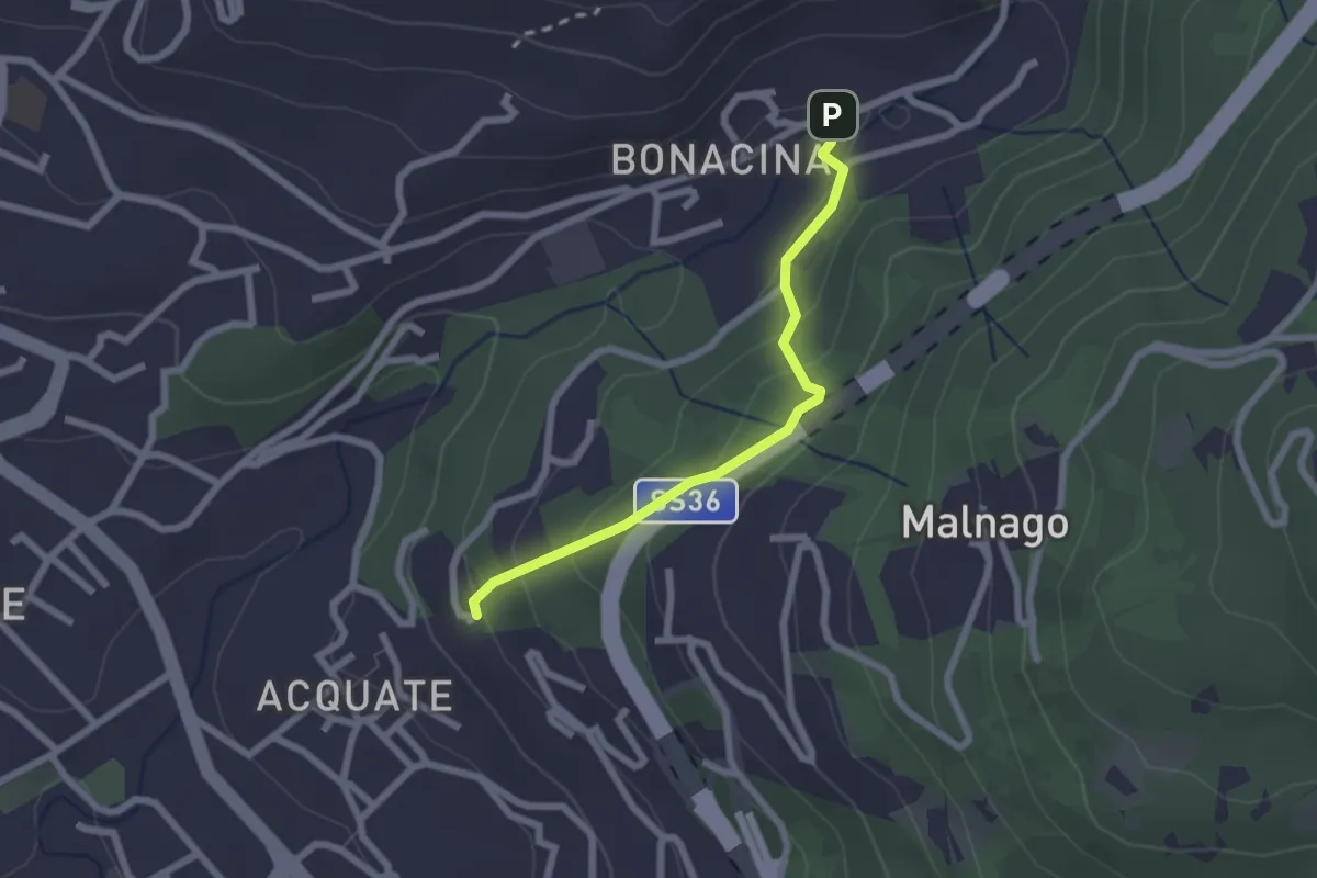
Easy · Trail
Bonacina – Acquate, Madonna di Lourdes
2.1 km · ↑ 114 m · 45 min · 10 km away
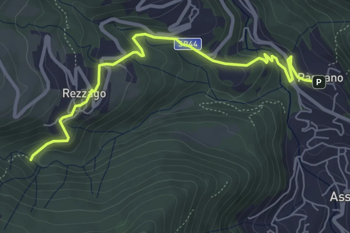
Easy · Trail
Pagnano – Madonna dei Morti
5.7 km · ↑ 281 m · 1 h 58 min · 10 km away
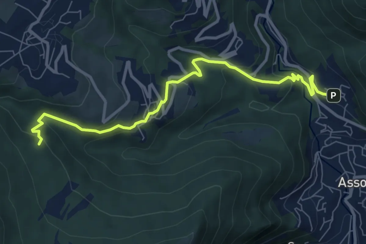
Medium · Trail
Pagnano – C.na Braga (Rezzago)
7.3 km · ↑ 340 m · 2 h 27 min · 10 km away
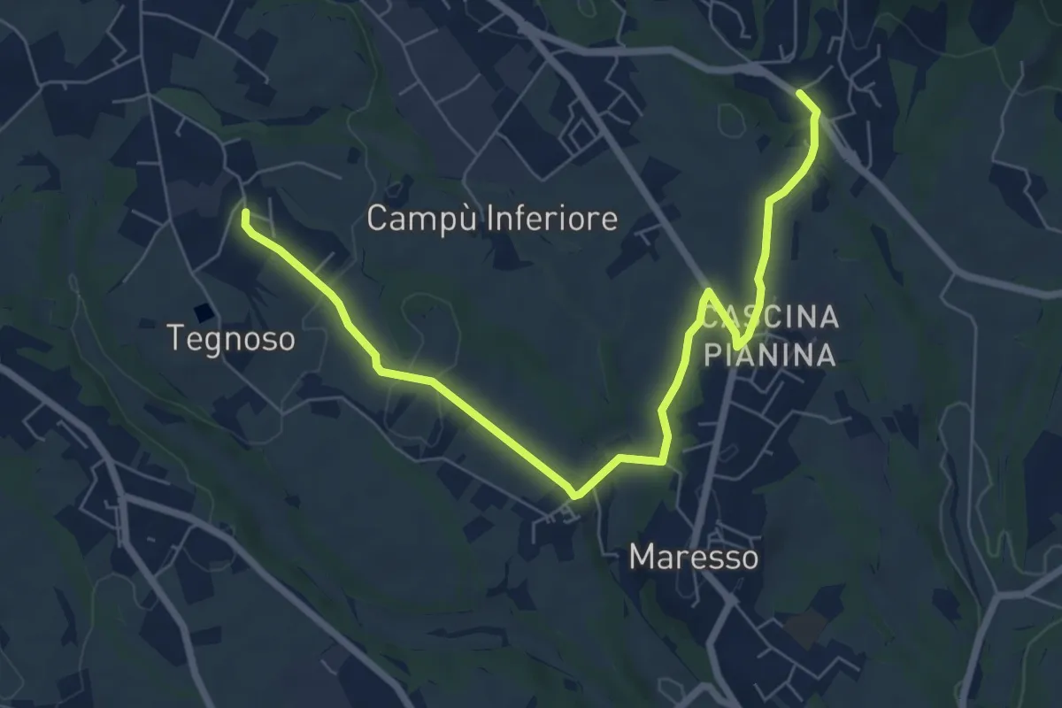
Easy · Trail
Contra – Lomaniga
7.8 km · ↑ 117 m · 2 h 5 min · 10 km away
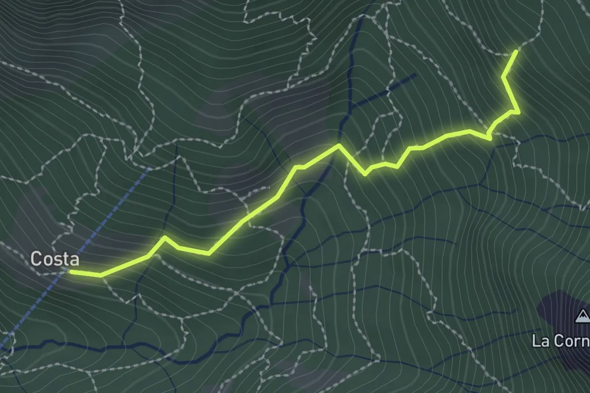
Medium · Trail
Frazione Costa – Innesto sentiero 901
2.4 km · ↑ 303 m · 1 h 14 min · 10 km away
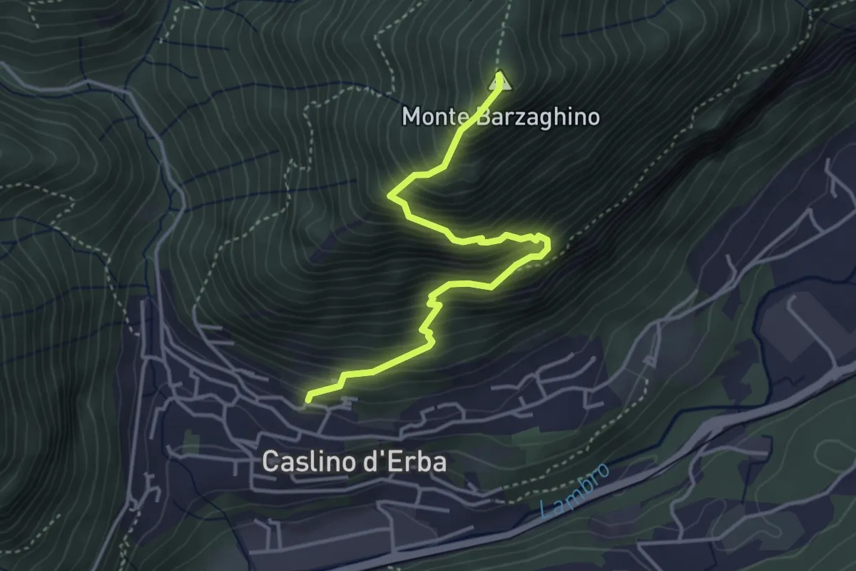
Demanding · Summit
Caslino d’Erba – Via ai Ronchi – Monte Barzaghino
3.9 km · ↑ 614 m · 2 h 15 min · 10 km away
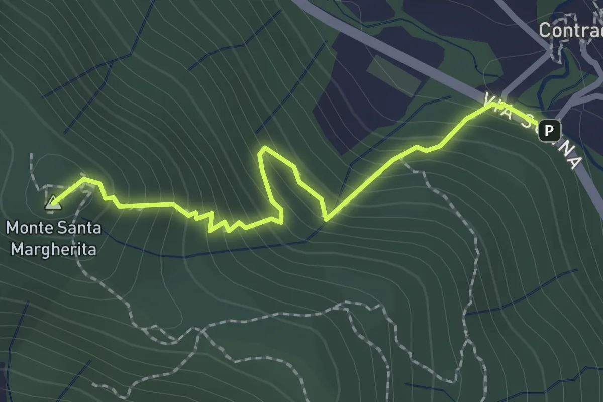
Medium · Summit
Contrada (Torre de' Busi) – S. Margherita (Monte Marenzo)
2.2 km · ↑ 259 m · 1 h 5 min · 10 km away
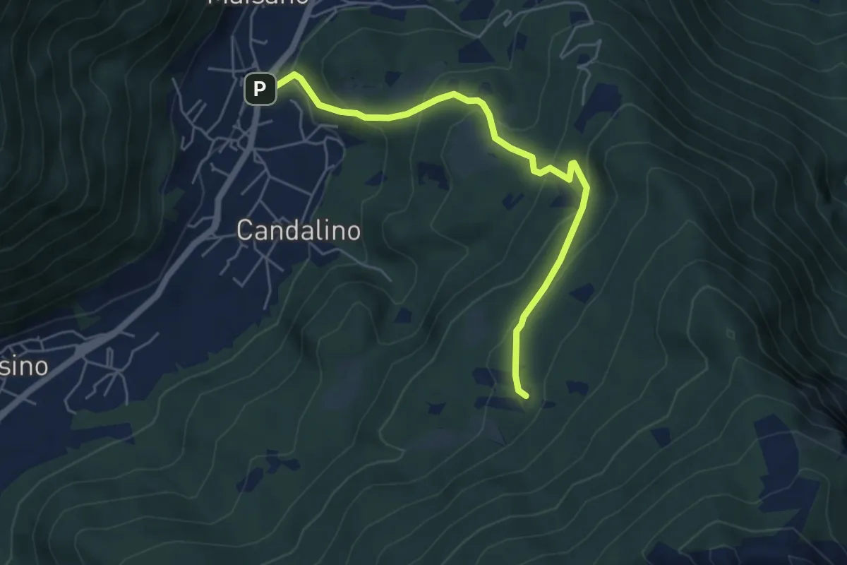
Medium · Trail
Osigo (Valbrona) – Valcerrina
5.4 km · ↑ 323 m · 1 h 58 min · 10 km away
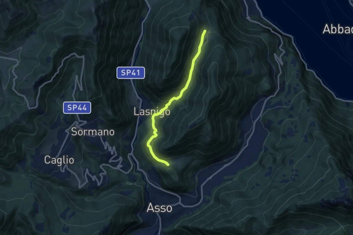
Medium · Trail
Piana di Crezzo – Alpe Megna
8.3 km · ↑ 390 m · 2 h 48 min · 10 km away
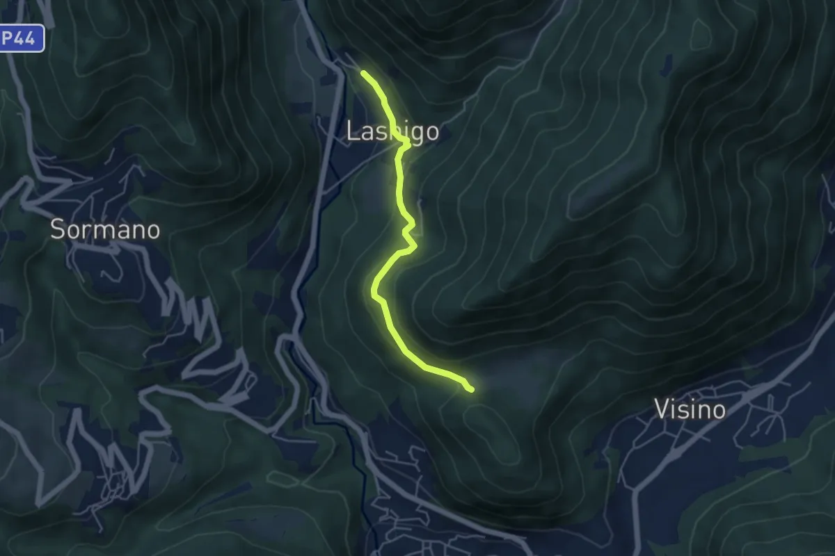
Easy · Trail
Lasnigo – Alpe Megna
4.1 km · ↑ 149 m · 1 h 18 min · 10 km away
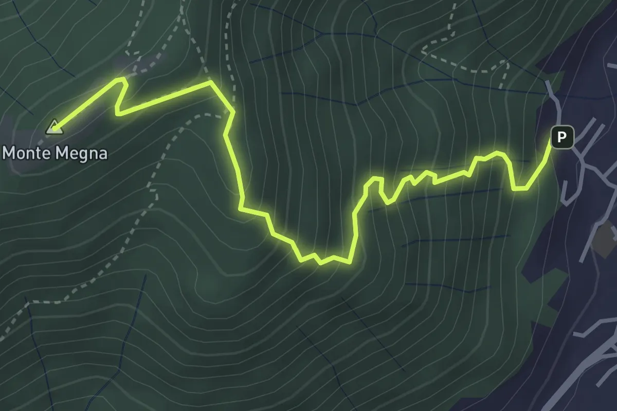
Demanding · Summit
Erta del Giubileo
4.3 km · ↑ 483 m · 2 h 3 min · 11 km away
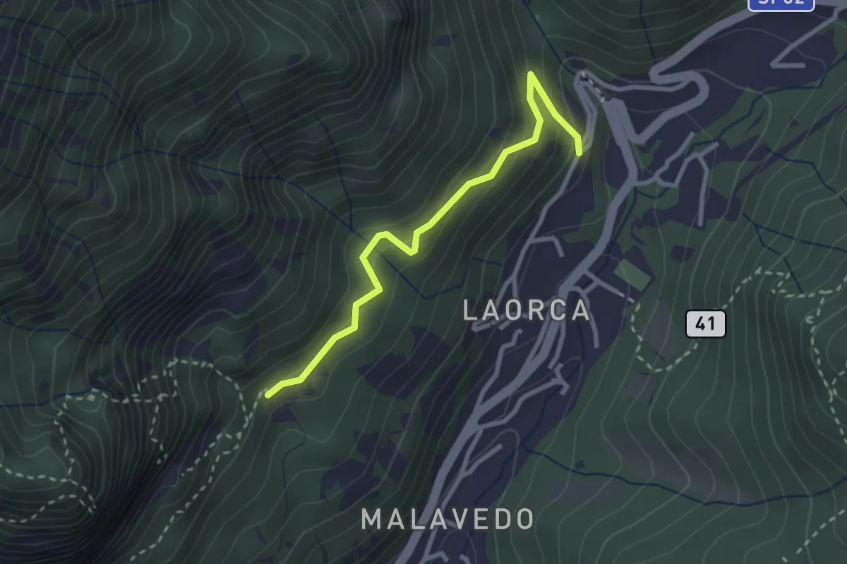
Easy · Trail
Incrocio 551 – Incrocio 556
2.7 km · ↑ 193 m · 1 h 3 min · 11 km away
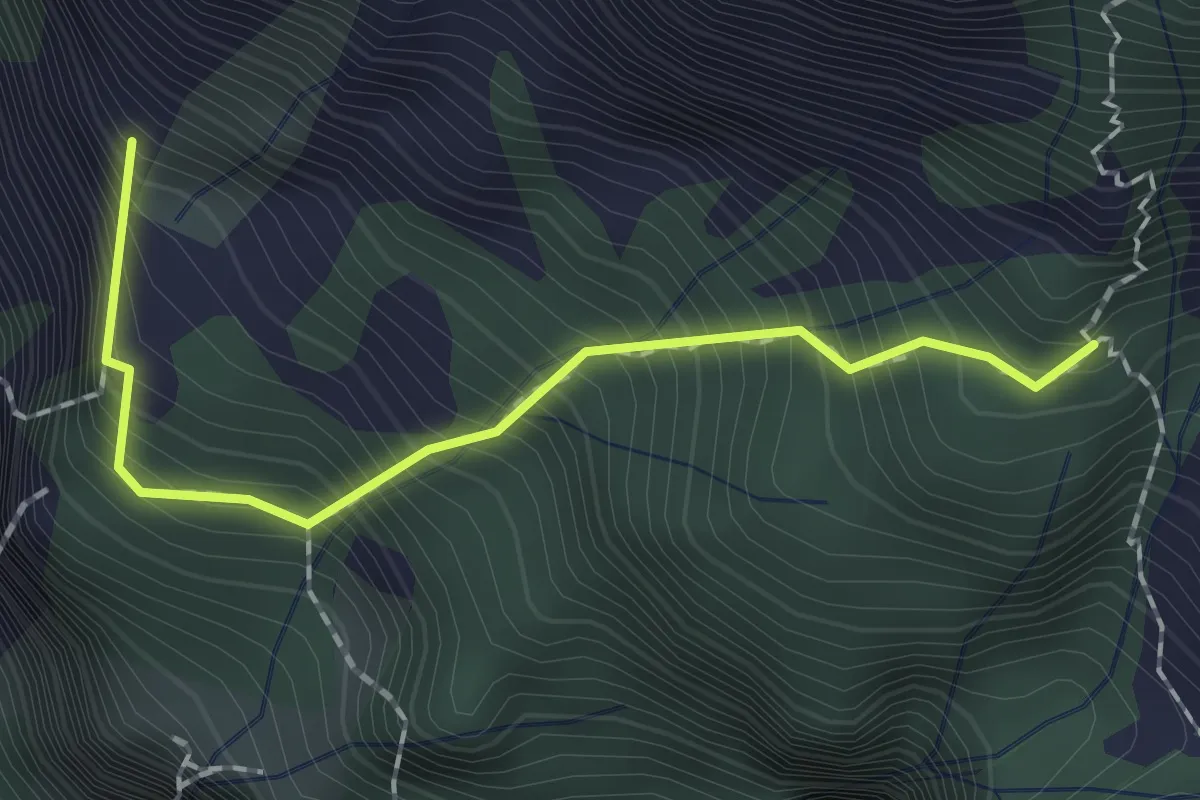
Expert · Summit
Sentiero dei Tecett
1.8 km · ↑ 408 m · 1 h 18 min · 11 km away
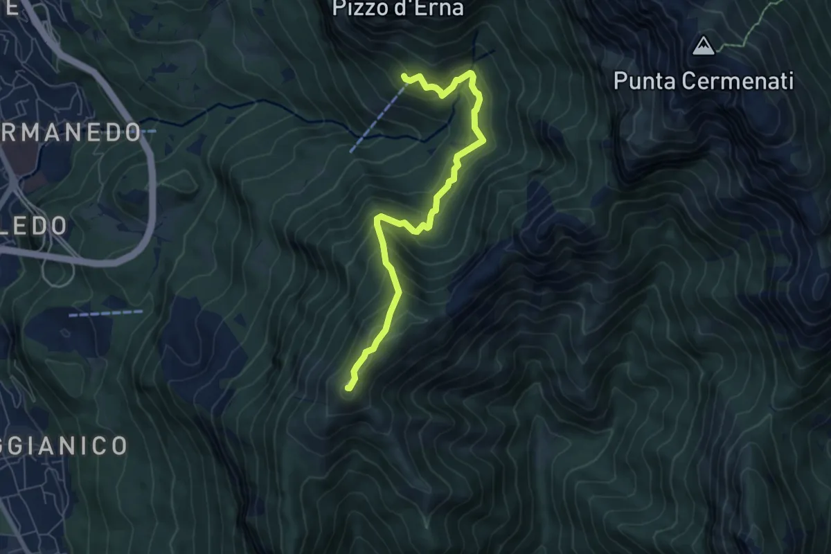
Demanding · Summit
Rifugio Stoppani – Monte Magnodeno
6.5 km · ↑ 557 m · 2 h 45 min · 11 km away
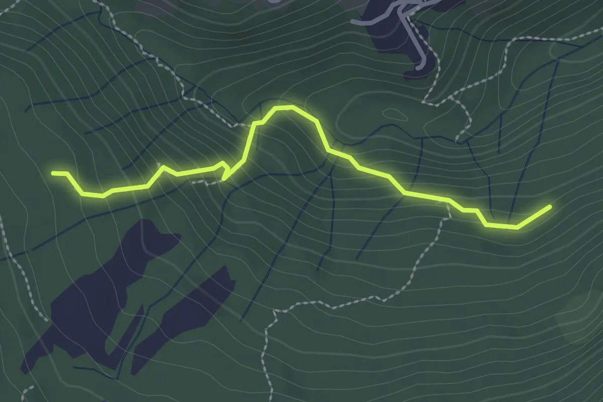
Medium · Trail
Funghi e boschi di Rezzago – Selva di Rezzago
2.6 km · ↑ 216 m · 1 h 5 min · 11 km away
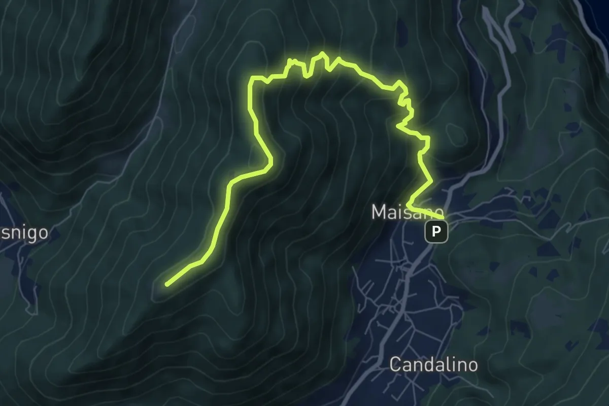
Medium · Summit
Valbrona - Maisano – Monte Megna
9.1 km · ↑ 626 m · 3 h 30 min · 11 km away
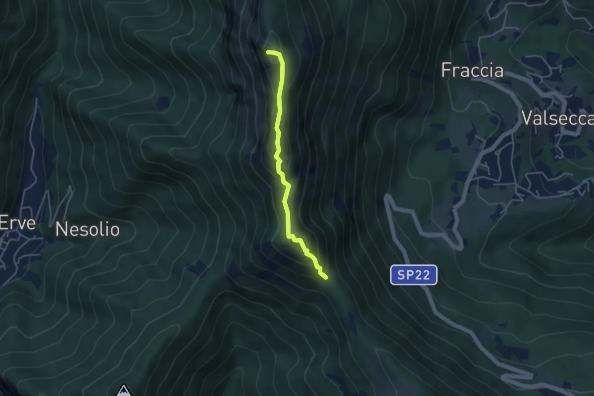
Demanding · Summit
Passo del Pertüs – La Passata
3.3 km · ↑ 339 m · 1 h 30 min · 11 km away
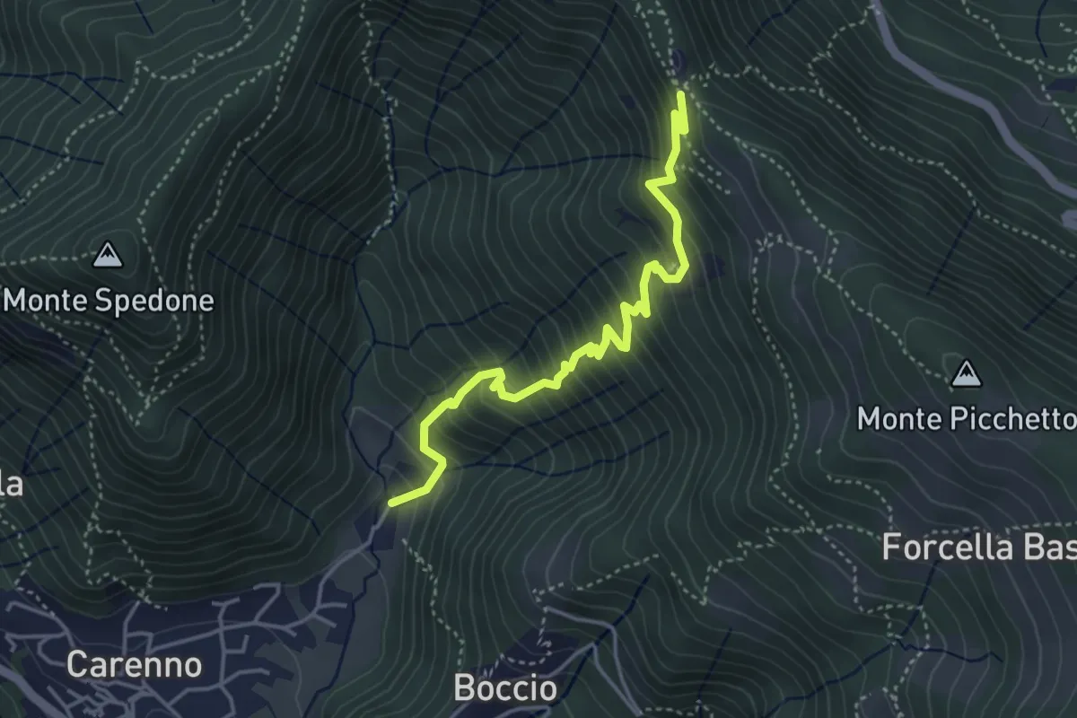
Medium · Trail
Carenno – Pertüs
4.2 km · ↑ 509 m · 2 h 6 min · 11 km away
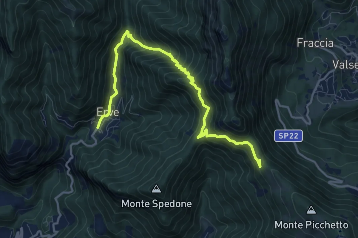
Demanding · Trail
Convento del Pertus – Erve, Piazza del Municipio
10.4 km · ↑ 869 m · 4 h 20 min · 11 km away
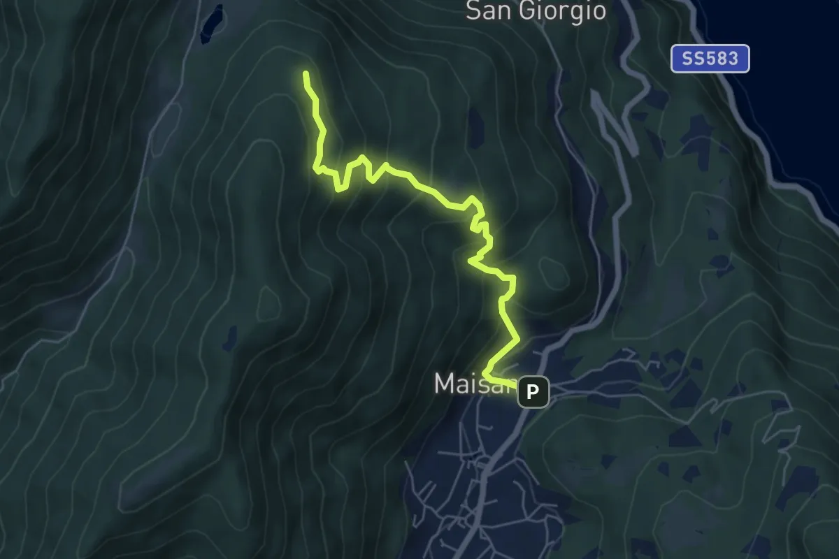
Medium · Trail
San Rocco (Valbrona) – Alpe di Piano
5.8 km · ↑ 478 m · 2 h 24 min · 11 km away
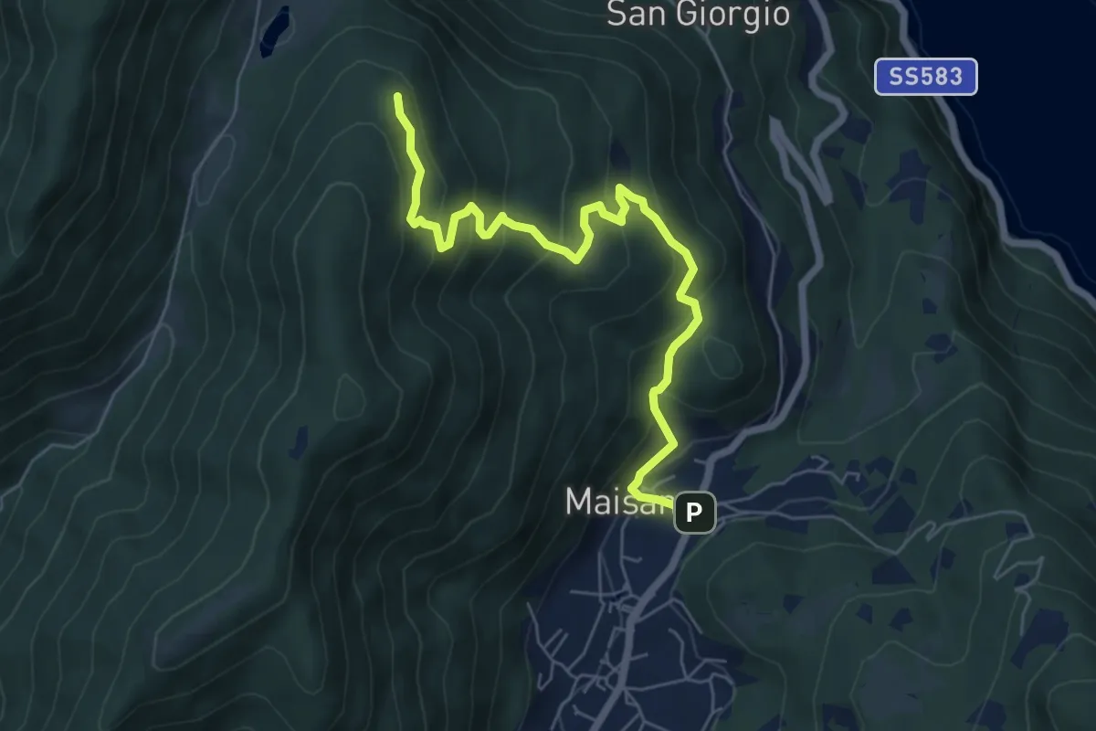
Medium · Trail
San Rocco (Valbrona) – Alpe di Piano
6.6 km · ↑ 472 m · 2 h 35 min · 11 km away
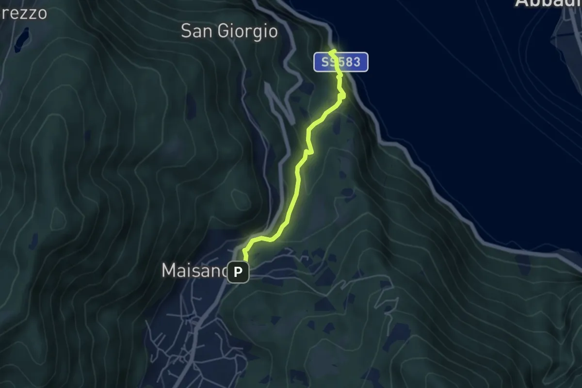
Demanding · Trail
Caprante – San Rocco (Valbrona)
4.0 km · ↑ 284 m · 1 h 34 min · 11 km away
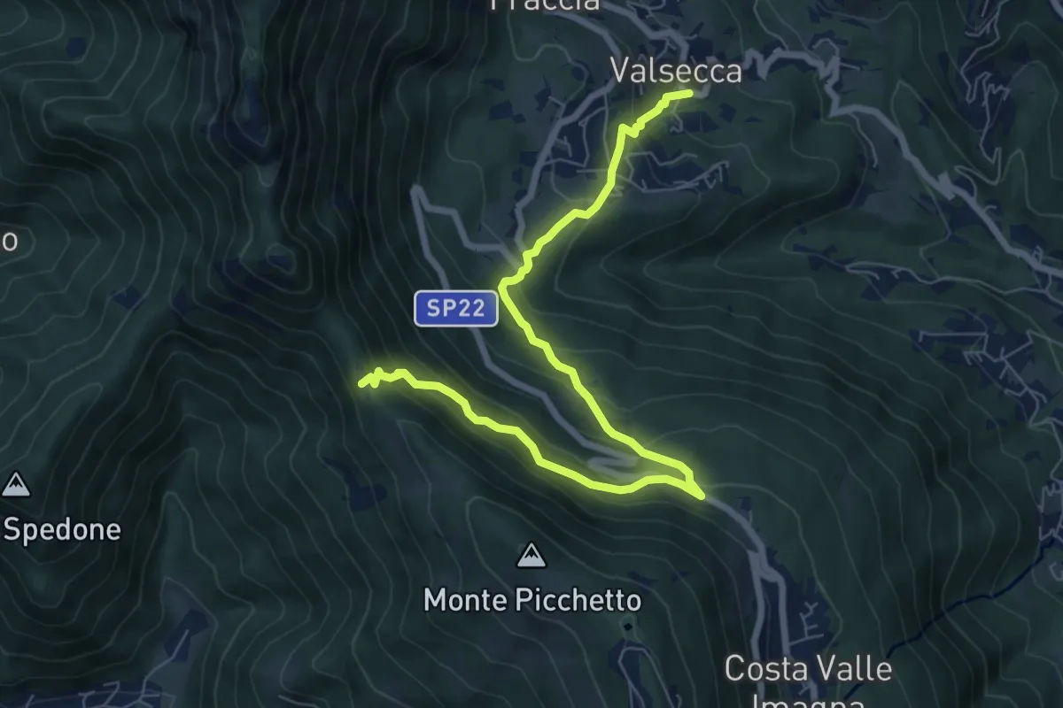
Medium · Trail
Valsecca – Pertüs
8.3 km · ↑ 616 m · 3 h 17 min · 11 km away
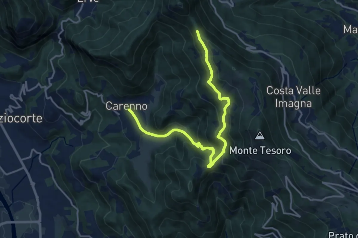
Medium · Trail
Carenno – Pertüs
11.3 km · ↑ 683 m · 4 h 9 min · 11 km away
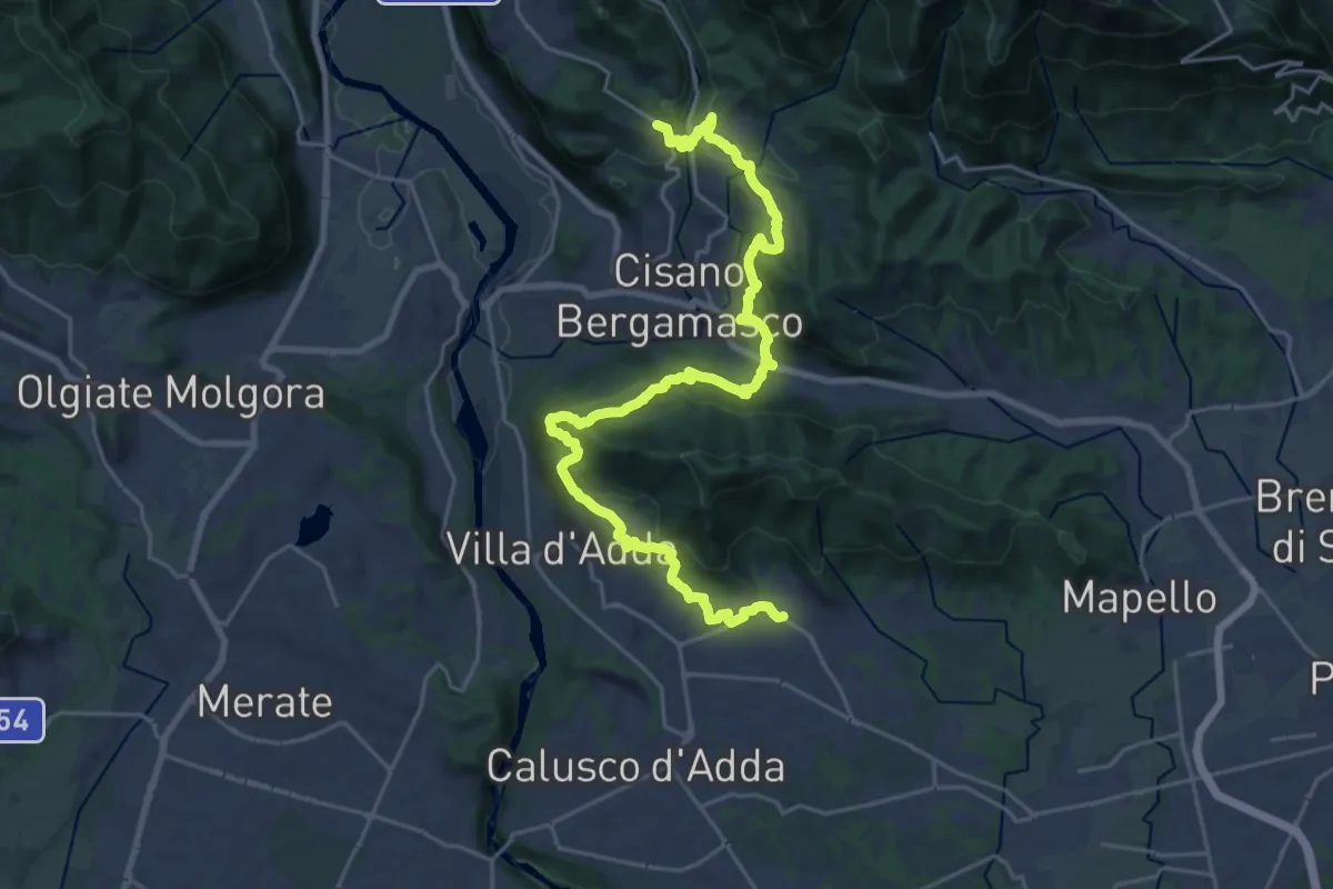
Medium · Trail
Sentiero Papa Giovanni XXIII
13.8 km · ↑ 408 m · 4 h 24 min · 11 km away
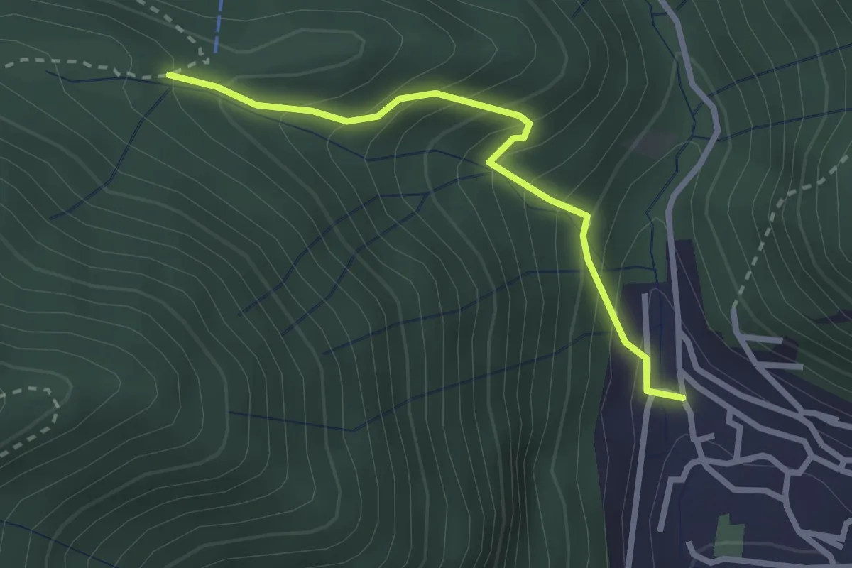
Easy · Trail
Sentiero Tamon - variante per Capanna Mara
2.5 km · ↑ 283 m · 1 h 12 min · 11 km away
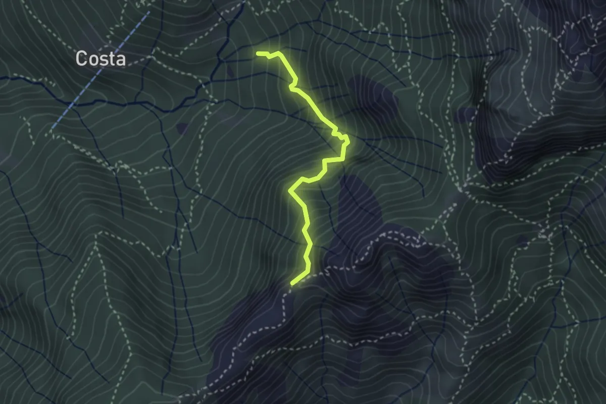
Demanding · Trail
Sentiero della Guardia
2.7 km · ↑ 404 m · 1 h 30 min · 11 km away
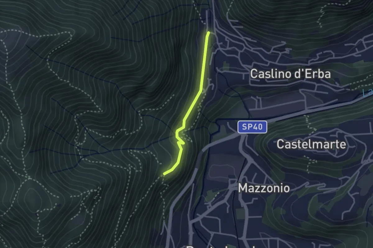
Demanding · Trail
Caslino d’Erba, loc. Punt di Murnèe – incrocio con sentiero 312 per Monte Puscio
2.3 km · ↑ 102 m · 46 min · 11 km away
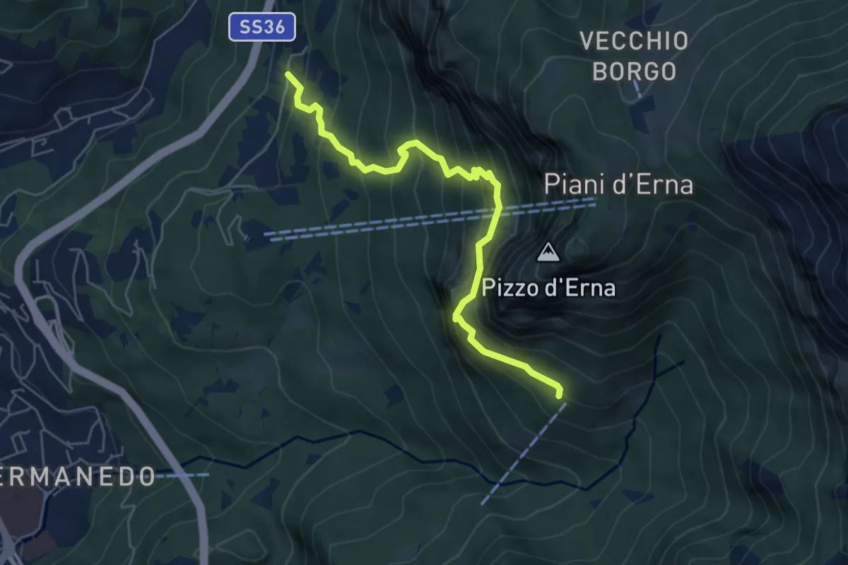
Expert · Cabin
Versasio – Rifugio Stoppani
5.6 km · ↑ 636 m · 2 h 42 min · 11 km away
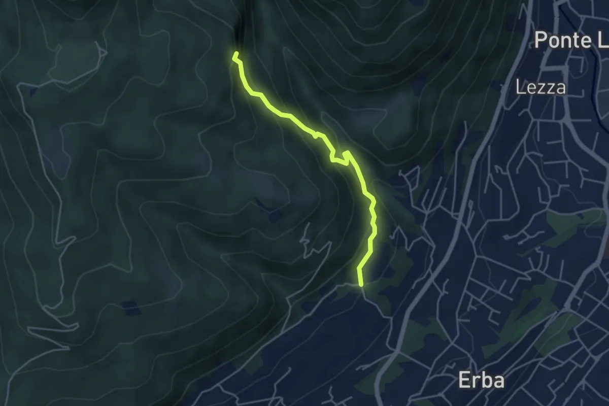
Demanding · Trail
C.na Ginocchio – Buco del Piombo
3.7 km · ↑ 335 m · 1 h 36 min · 11 km away
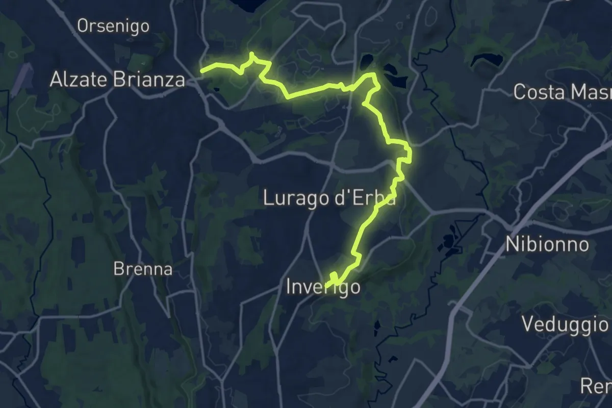
Medium · Trail
Via delle ville
17.9 km · ↑ 243 m · 4 h 45 min · 11 km away
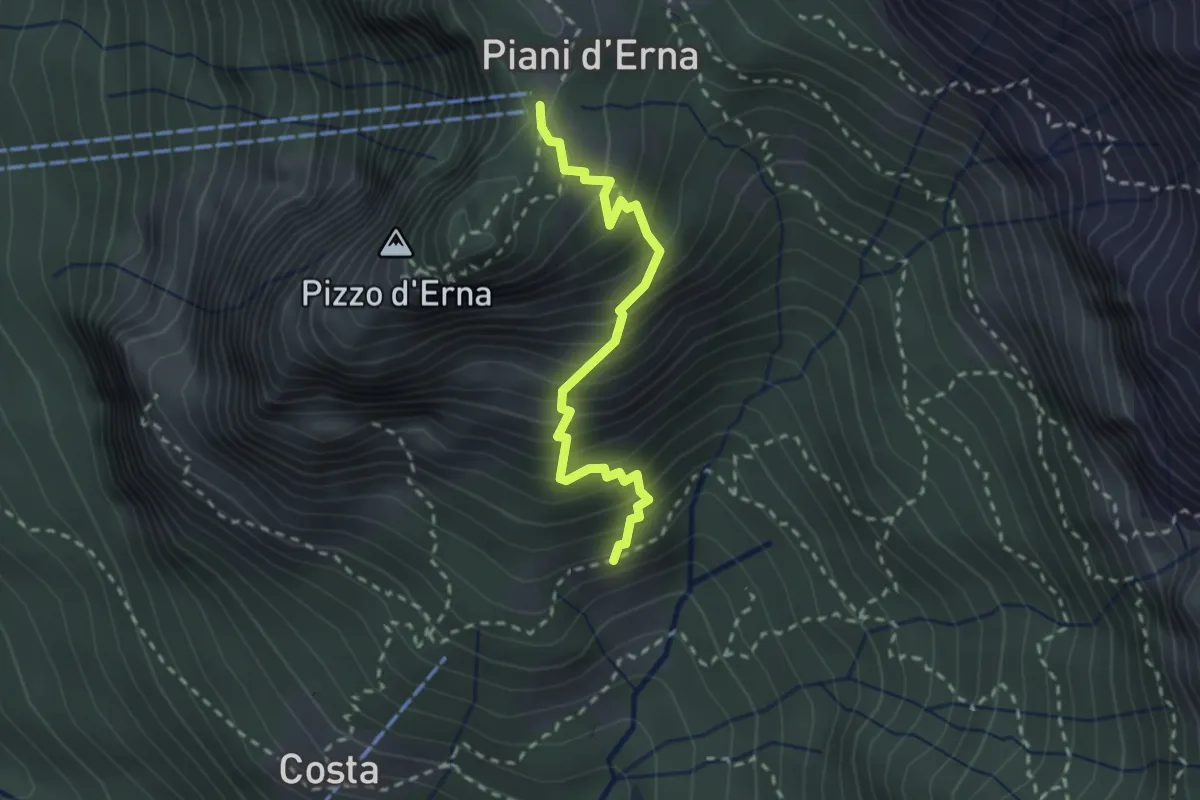
Medium · Trail
Sentiero della Sponda
2.4 km · ↑ 361 m · 1 h 21 min · 11 km away
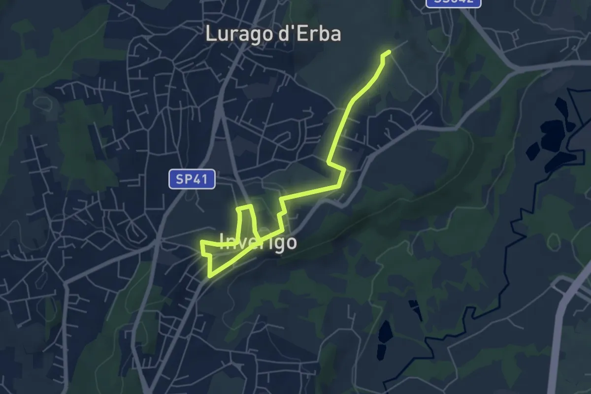
Easy · Trail
Quel viale percorso
6.7 km · ↑ 116 m · 1 h 51 min · 11 km away
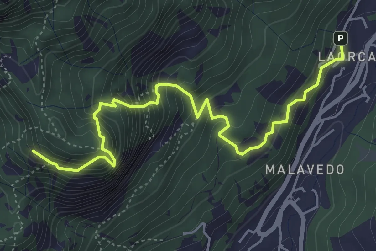
Demanding · Summit
Rifugio Piazza – Corno Medale
4.9 km · ↑ 860 m · 3 h 2 min · 11 km away
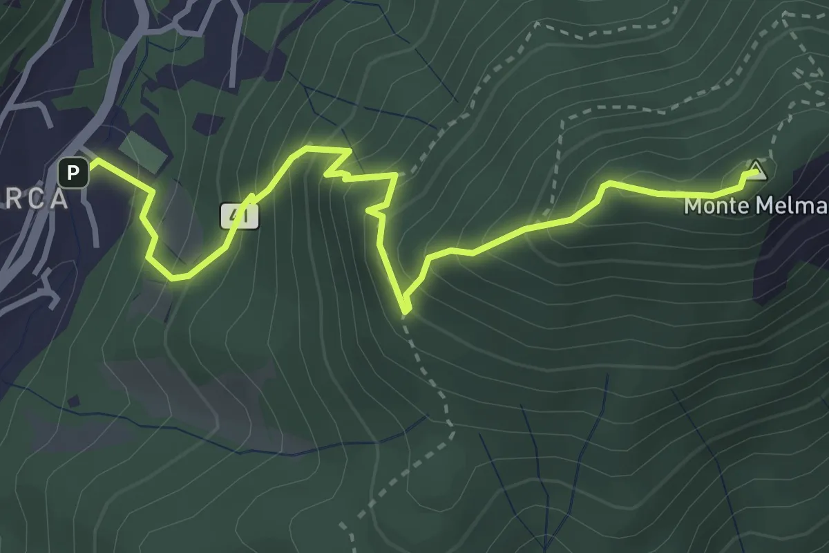
Medium · Summit
Laorca – Monte Melma
3.8 km · ↑ 481 m · 1 h 57 min · 11 km away
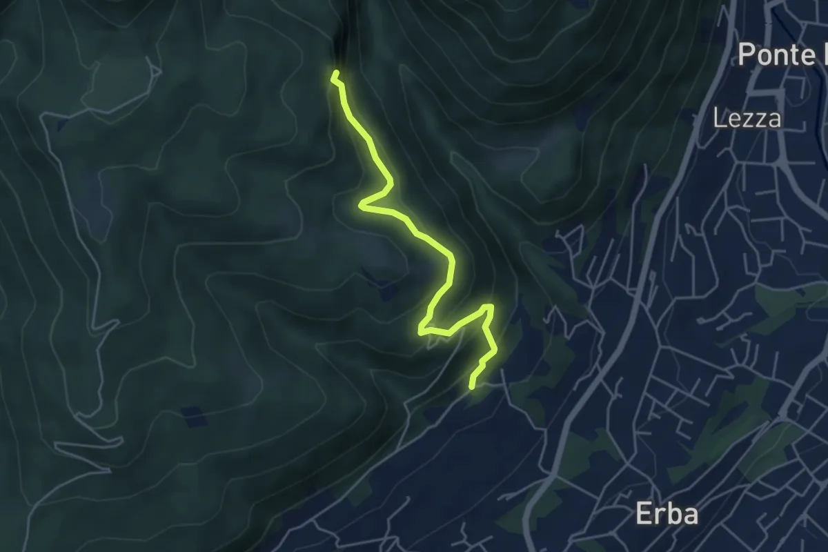
Medium · Trail
C.na Paradiso – Buco del Piombo
4.4 km · ↑ 324 m · 1 h 44 min · 11 km away
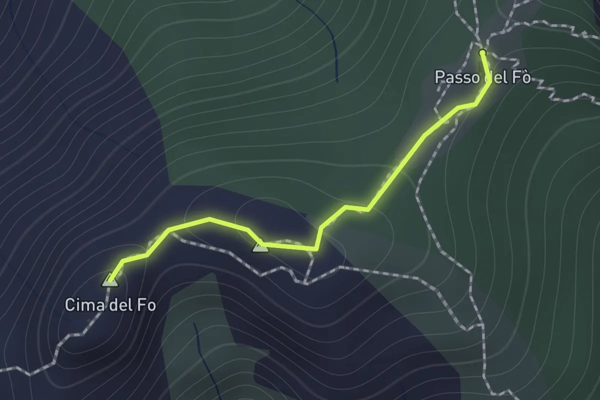
Expert · Summit
Sentiero 928 – Passo del Fo'
1.0 km · ↑ 72 m · 23 min · 11 km away
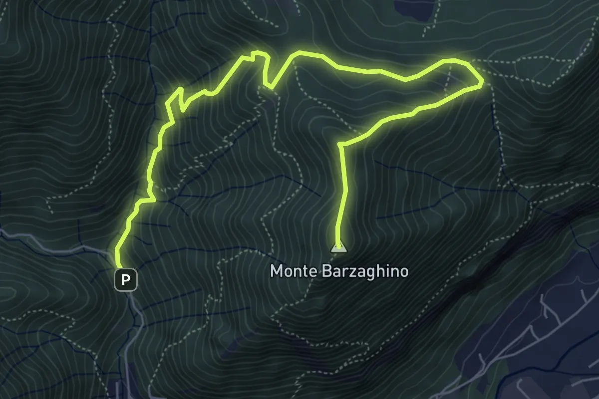
Demanding · Summit
strada per Forum Franciscanum – Monte Barzaghino
8.0 km · ↑ 642 m · 3 h 17 min · 11 km away
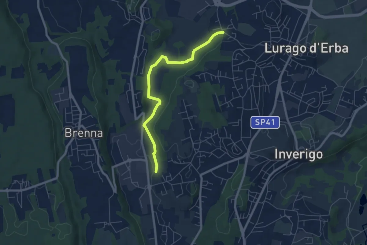
Easy · Trail
Cremnago (lazzaretto) – Pioppette
5.7 km · ↑ 81 m · 1 h 31 min · 11 km away
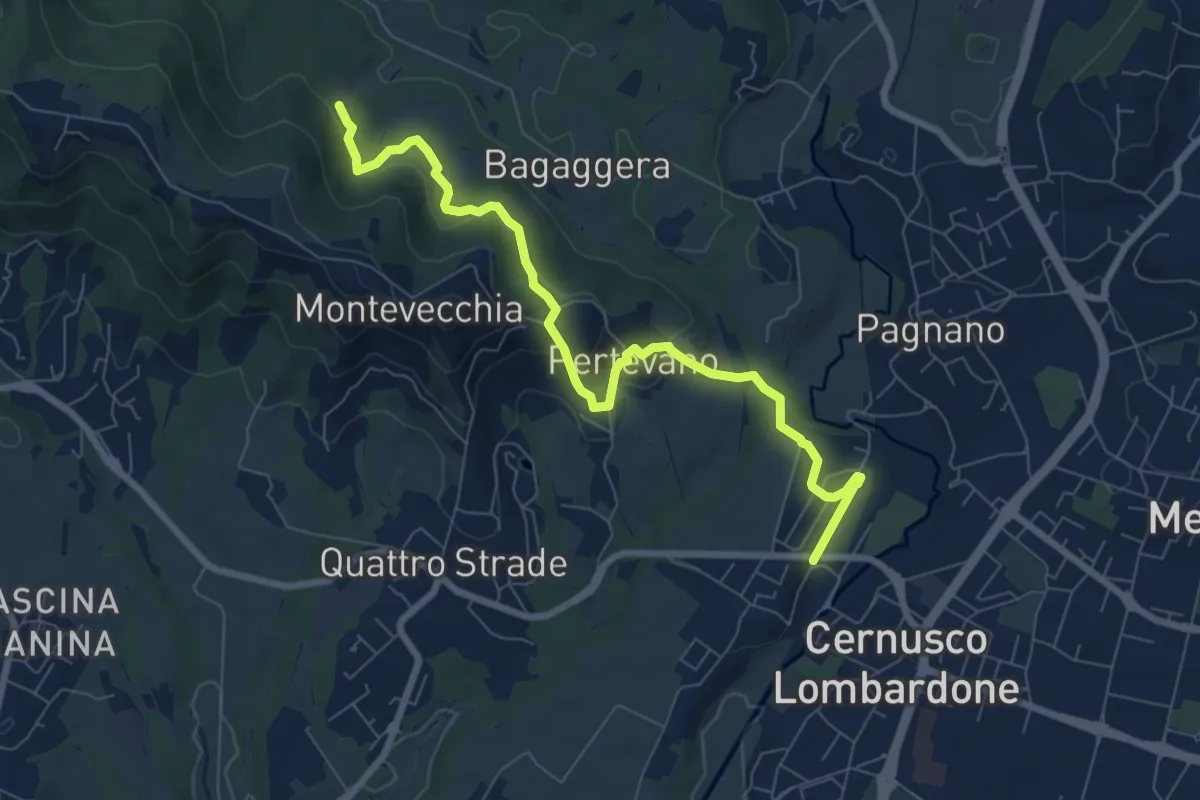
Medium · Trail
Percorso stazione
8.4 km · ↑ 261 m · 2 h 32 min · 11 km away
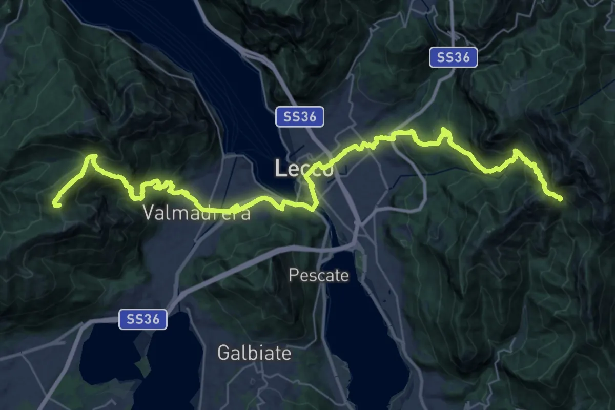
Demanding · Summit
CamminaForeste - Tappa 9C
38.3 km · ↑ 2417 m · 14 h 17 min · 11 km away
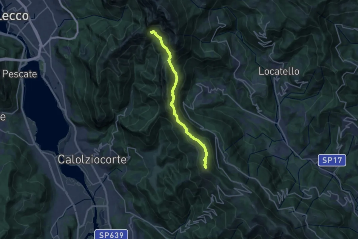
Demanding · Summit
Sentiero del 70° UOEI
14.5 km · ↑ 1044 m · 5 h 41 min · 11 km away
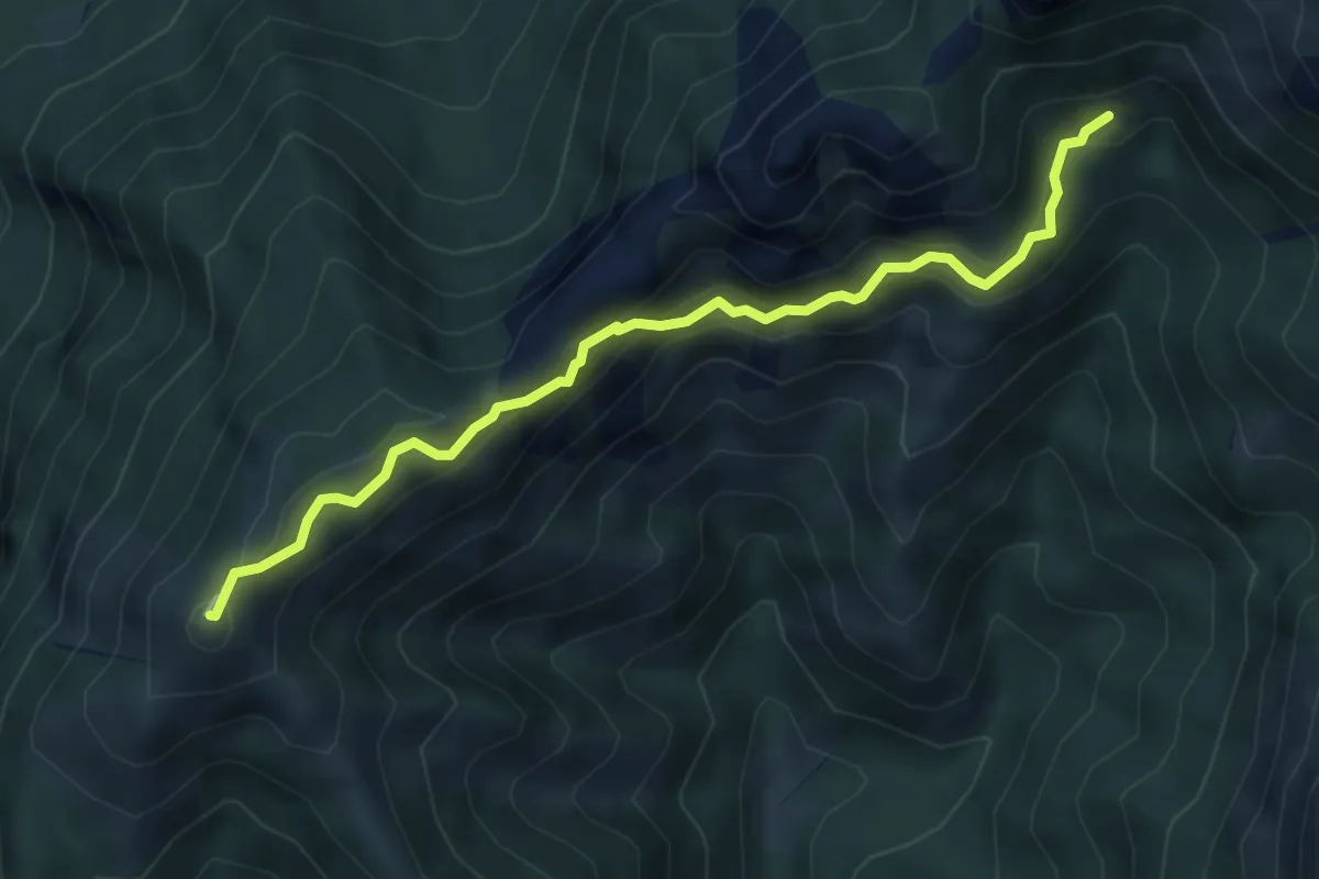
Demanding · Summit
Rif. Alpinisti Monzesi – Monte Magnodeno
5.1 km · ↑ 345 m · 1 h 57 min · 11 km away
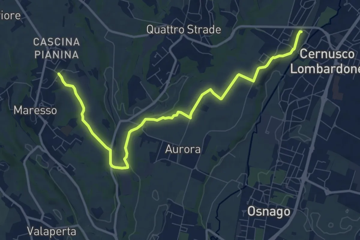
Medium · Trail
Cernusco Lombardone (FS) – Maresso
10.5 km · ↑ 100 m · 2 h 42 min · 11 km away