Trails near Oggiono
309 hikes starting within 15 km, nearest first.
Nearest first, page 6 of 7
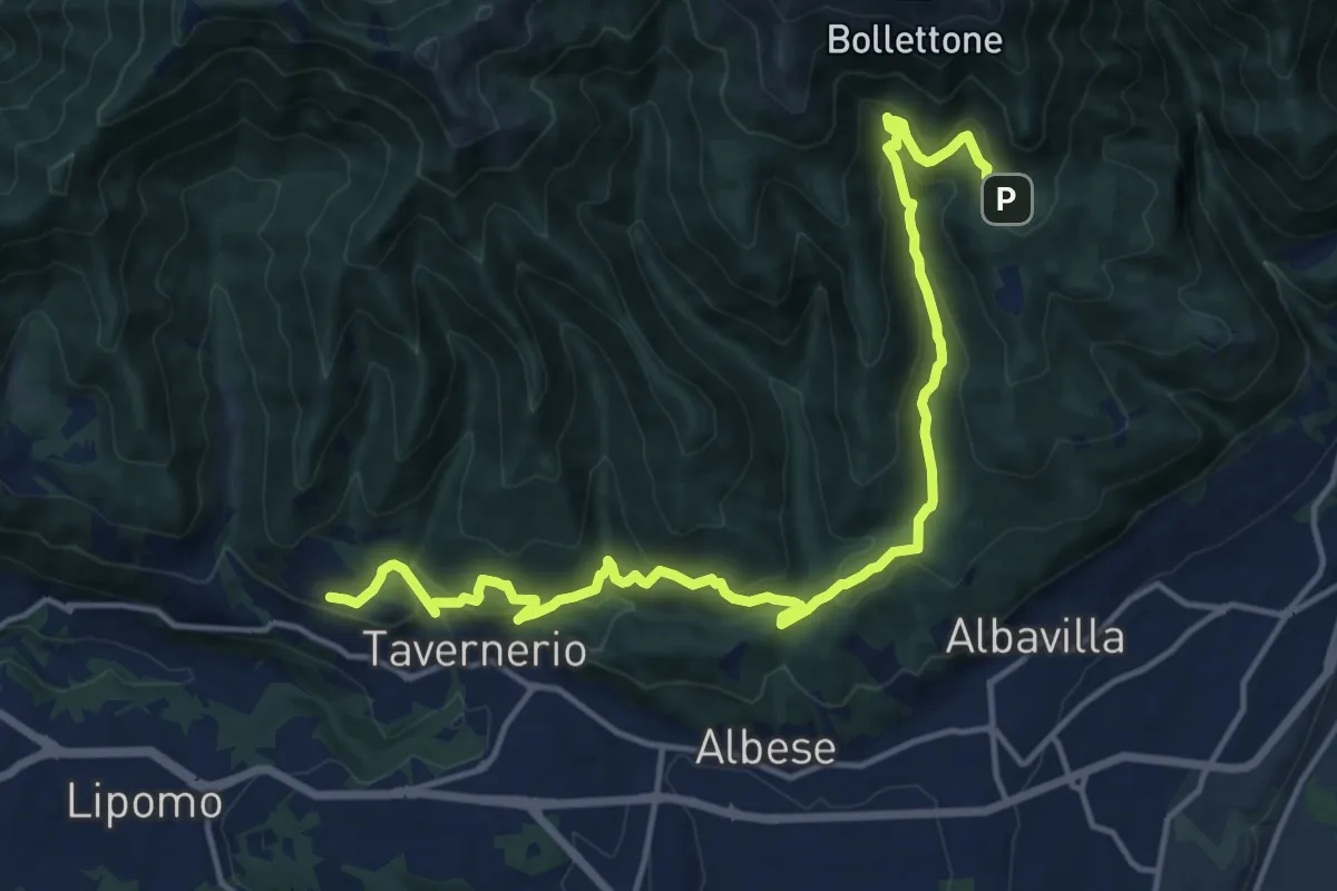
Demanding · Trail
Caslascio (Tavernerio) – Alpe del Vicerè
17.7 km · ↑ 819 m · 5 h 57 min · 13 km away
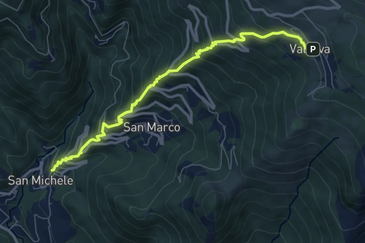
Medium · Trail
Torre de' Busi – Valcava
6.9 km · ↑ 790 m · 3 h 20 min · 13 km away
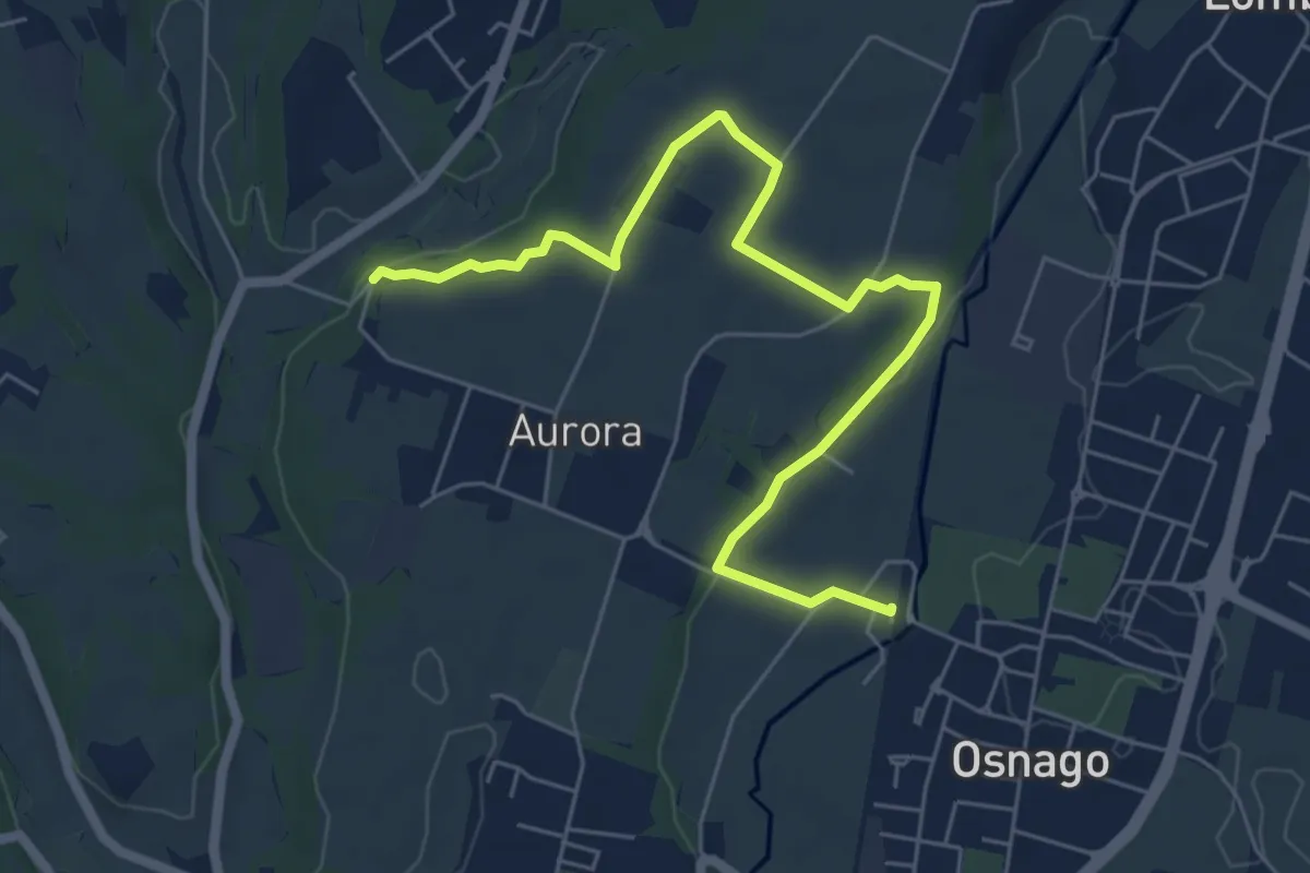
Easy · Trail
Osnago – Torrente Curone
6.8 km · ↑ 43 m · 1 h 42 min · 13 km away
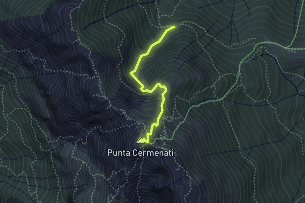
Demanding · Summit
Sorgente Forbesette – Monte Resegone
3.1 km · ↑ 458 m · 1 h 44 min · 13 km away
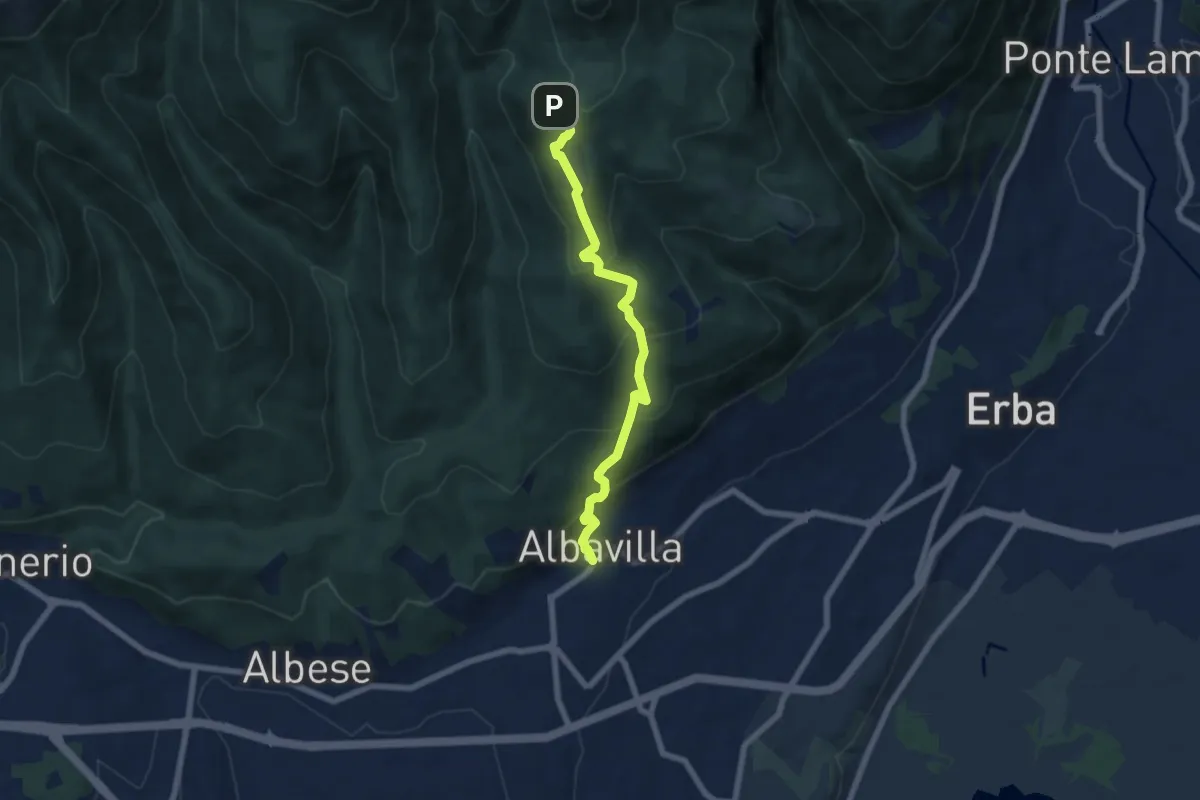
Medium · Trail
Sentiero degli Alpini
6.5 km · ↑ 474 m · 2 h 33 min · 13 km away
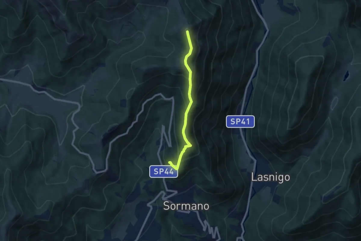
Medium · Summit
Salita per Colma del Bosco – Salita per Colma del Bosco
5.5 km · ↑ 398 m · 2 h 9 min · 13 km away
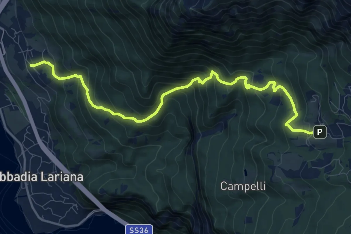
Demanding · Trail
Crebbio – Piani Resinelli
11.0 km · ↑ 883 m · 4 h 31 min · 13 km away
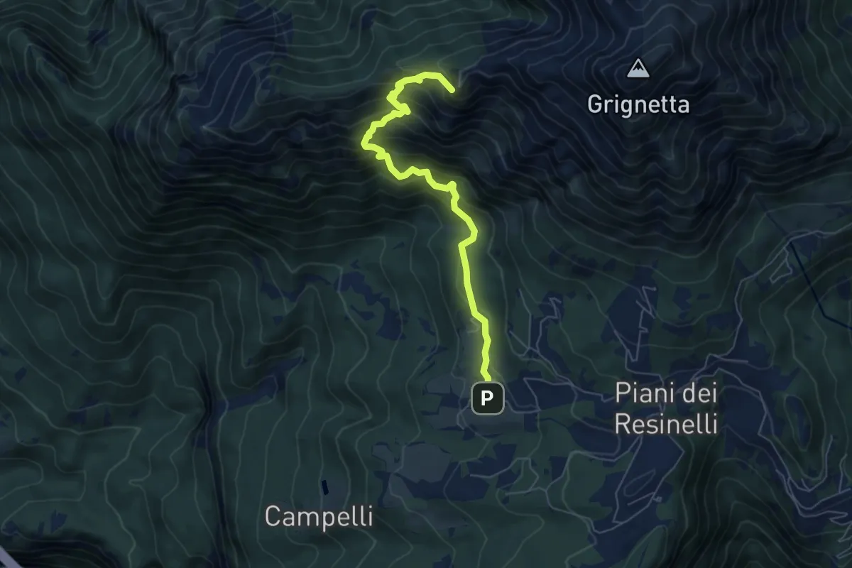
Demanding · Summit
Sentiero delle Foppe
6.2 km · ↑ 701 m · 2 h 59 min · 13 km away
Demanding · Summit
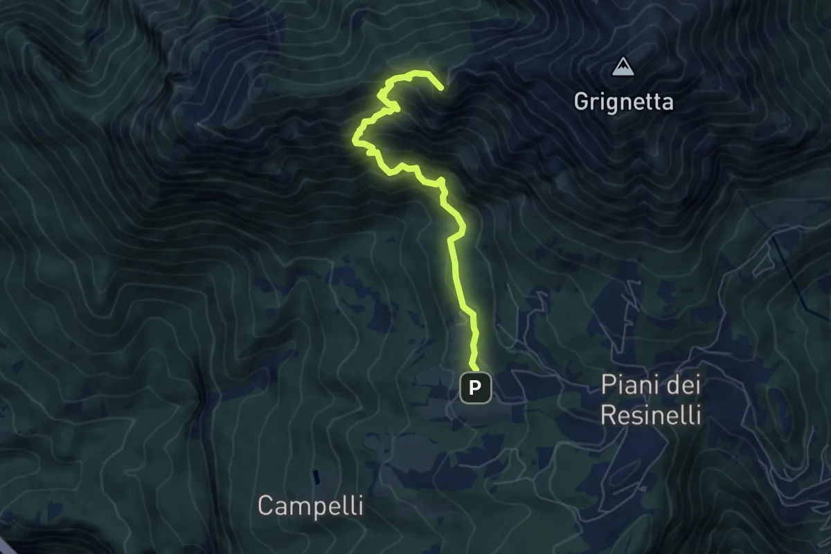
Sentiero delle Foppe 2
6.2 km · ↑ 697 m · 2 h 59 min · 13 km away
Medium · Trail
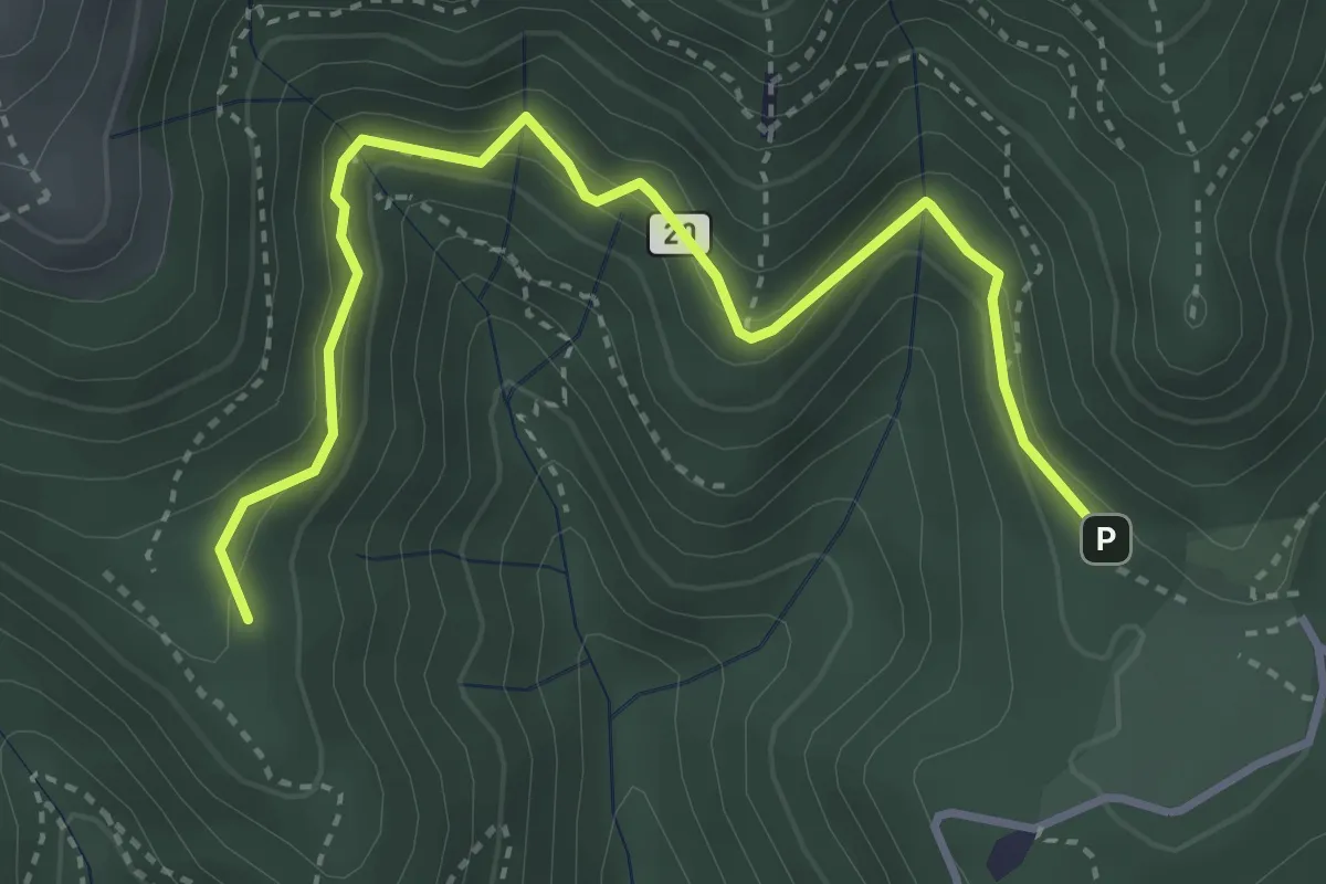
Alpe del Vicerè – Baita Patrizi
4.1 km · ↑ 256 m · 1 h 31 min · 13 km away
Demanding · Summit
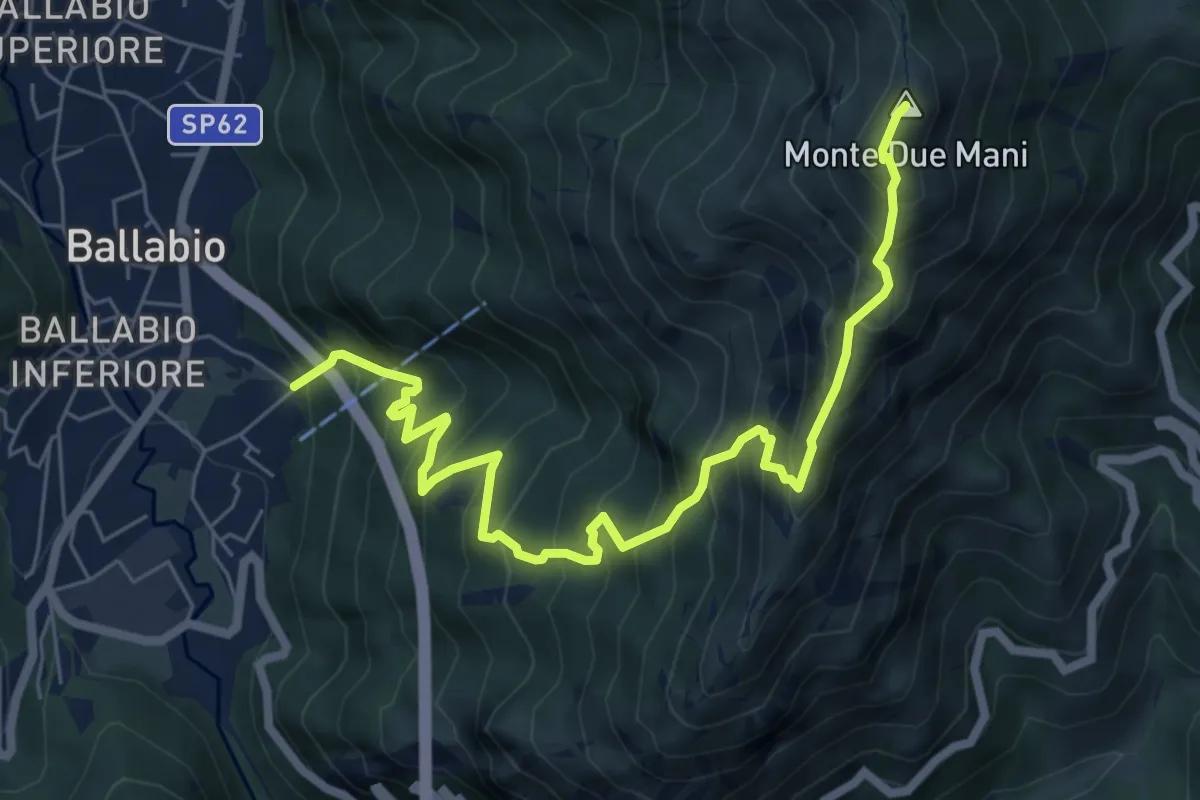
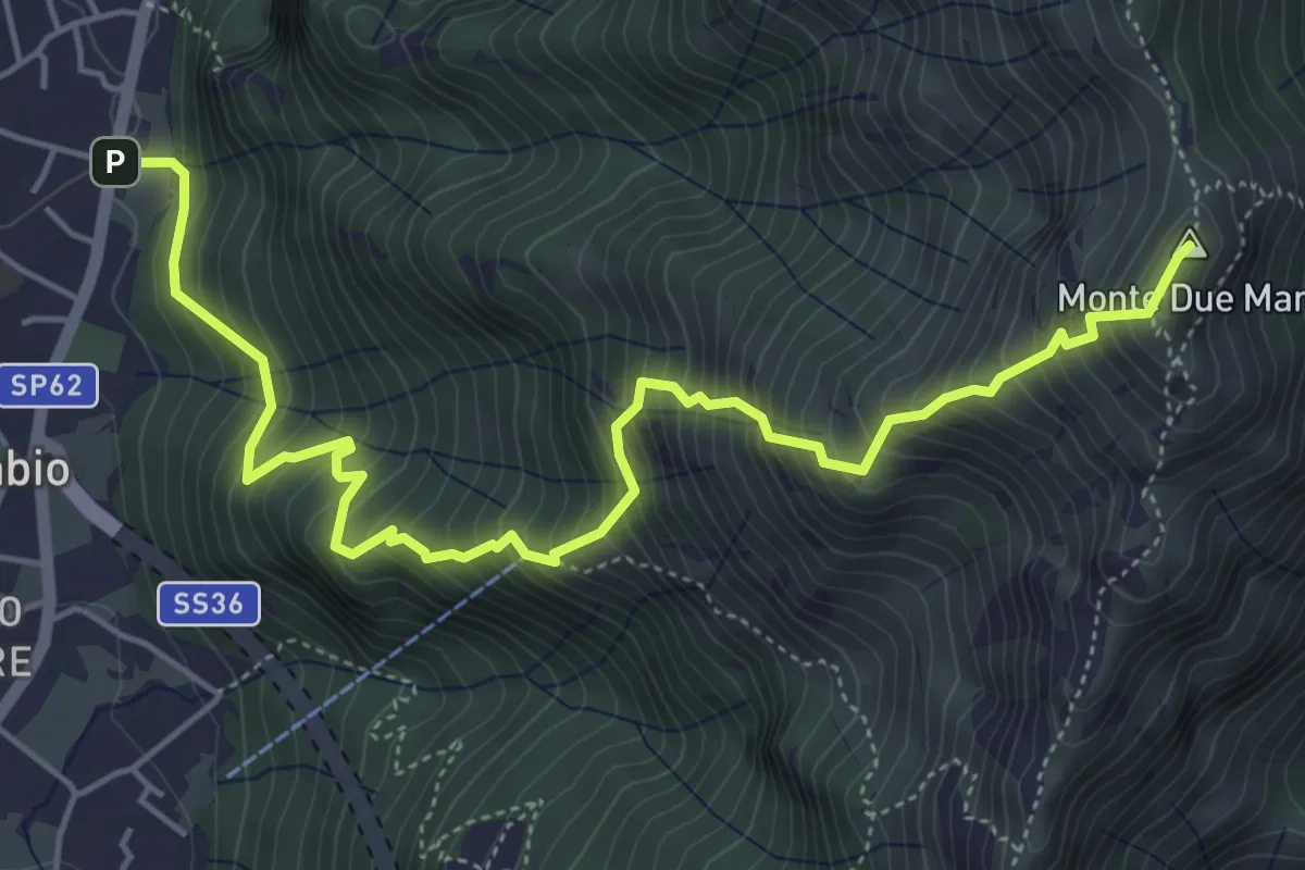
Ballabio Inferiore (Ca' Formai) – Monte Due Mani
7.7 km · ↑ 970 m · 3 h 56 min · 13 km away
Demanding · Trail
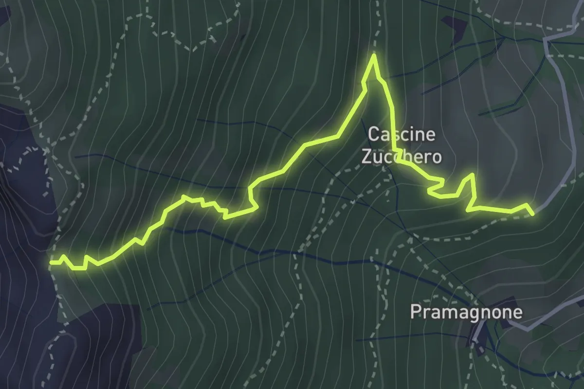
Cascina Zucchero (Brumano) – Cima Piazzo
4.0 km · ↑ 518 m · 2 h 5 min · 13 km away
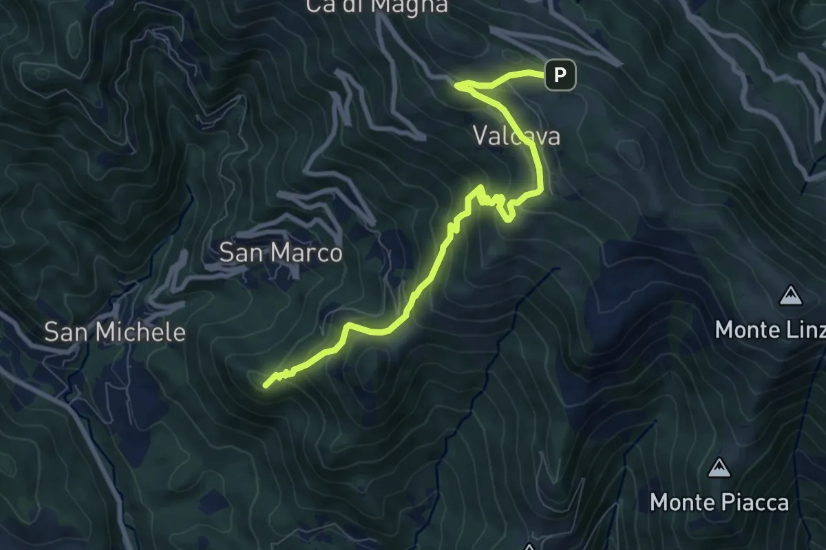
Medium · Summit
Torre de' Busi – Ripetitori (Valcava)
8.7 km · ↑ 620 m · 3 h 23 min · 13 km away
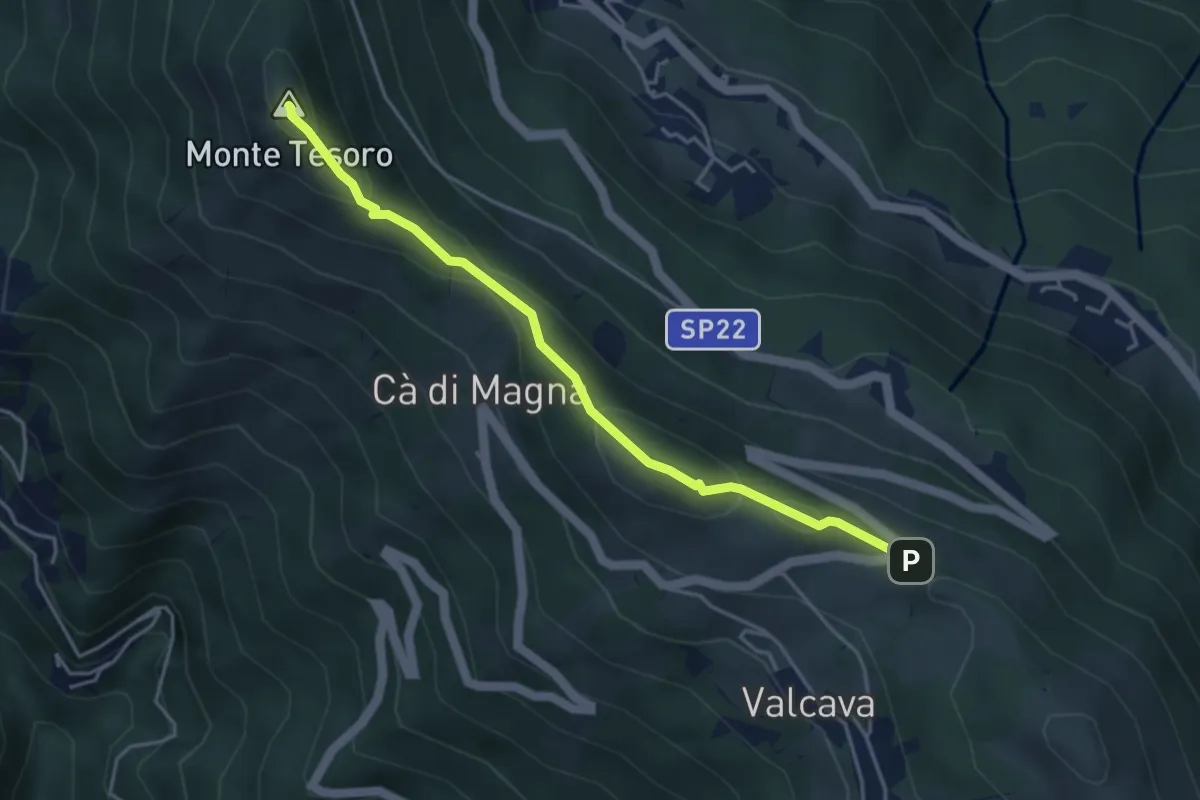
Medium · Summit
Ripetitori (Valcava) – Convento del Pertus
4.1 km · ↑ 216 m · 1 h 27 min · 13 km away
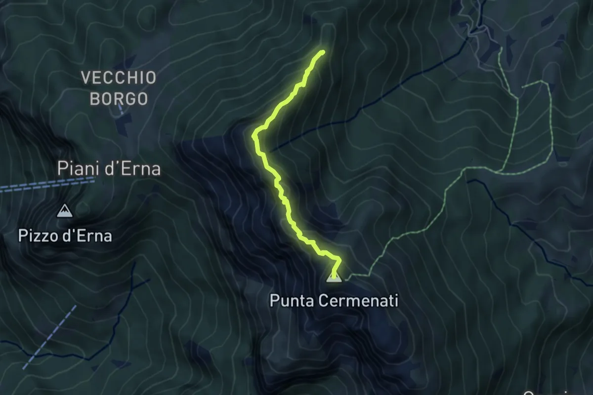
Expert · Summit
Sentiero delle Creste Nord
4.5 km · ↑ 323 m · 1 h 45 min · 13 km away
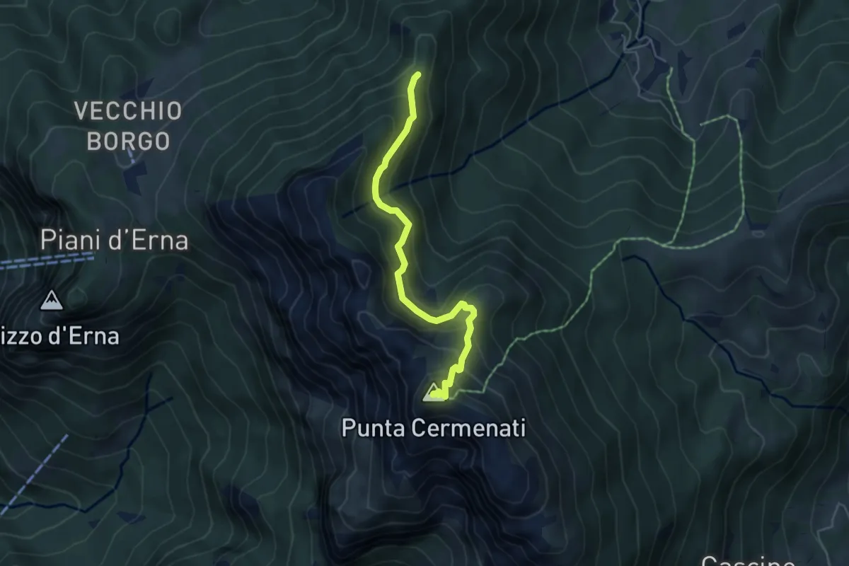
Demanding · Summit
Passo del Giuff – Monte Resegone
4.7 km · ↑ 410 m · 2 h · 13 km away
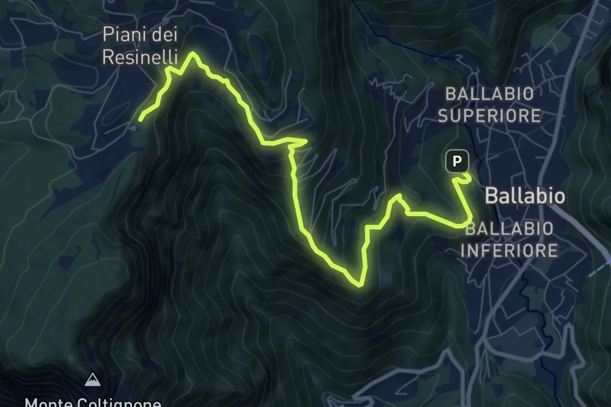
Medium · Cabin
Ballabio – Rifugio Rocca Locatelli
9.3 km · ↑ 653 m · 3 h 37 min · 13 km away
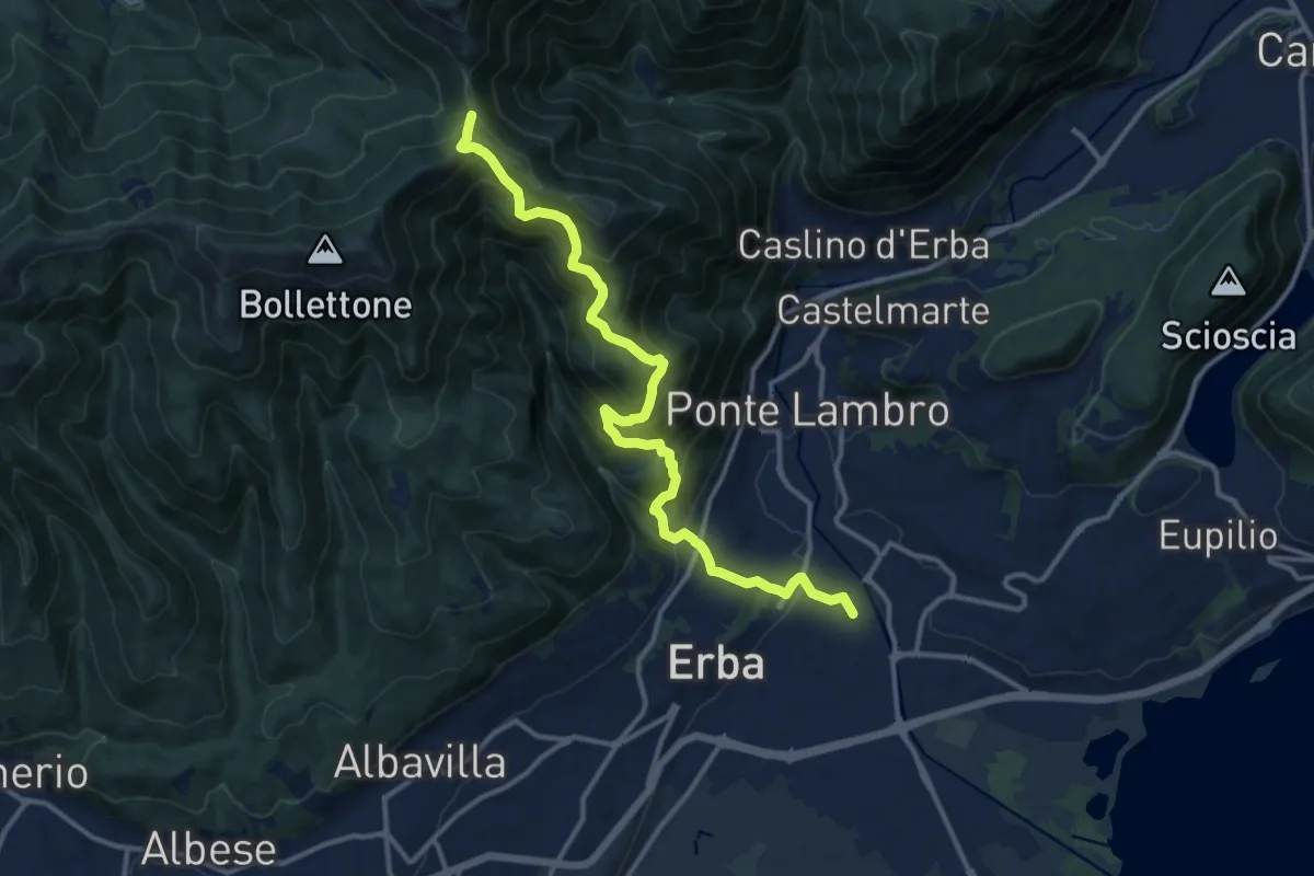
Demanding · Trail
Stazione di Erba – Bocchetta di Lemma
13.9 km · ↑ 1049 m · 5 h 34 min · 13 km away
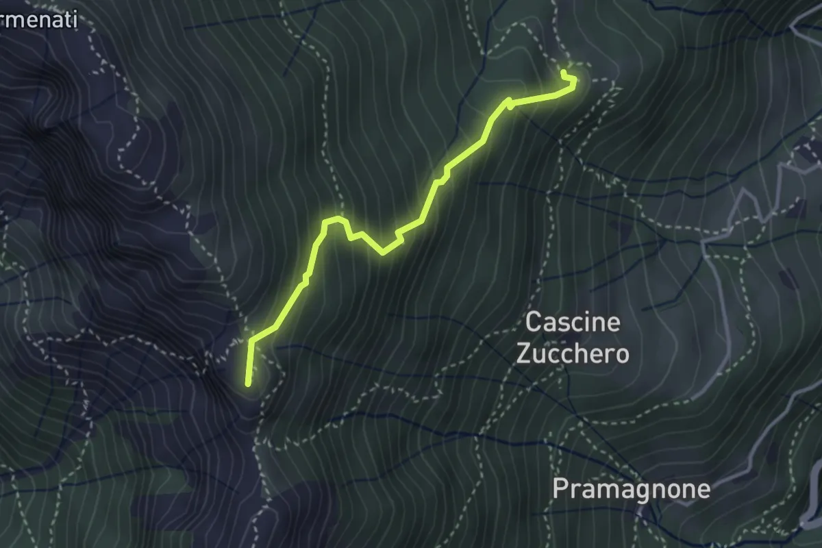
Demanding · Summit
Rifugio Resegone (incrocio 587) – Passo dei Solitari
3.1 km · ↑ 351 m · 1 h 29 min · 13 km away
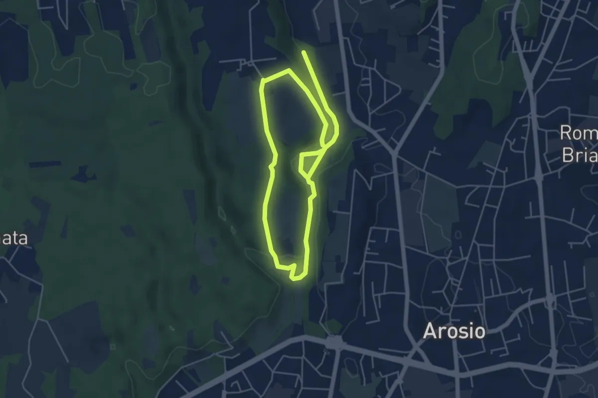
Medium · Trail
Percorso dei fontanili
8.2 km · ↑ 156 m · 2 h 17 min · 13 km away
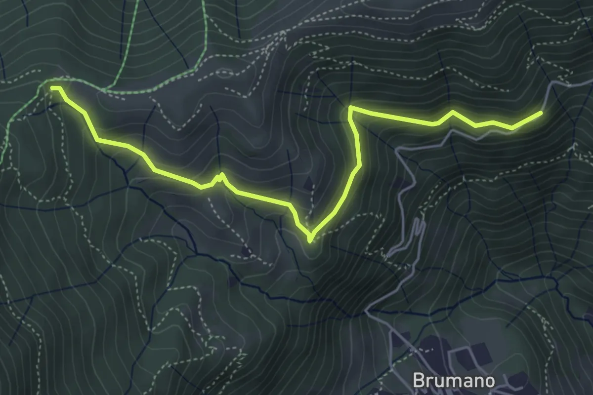
Medium · Trail
Strada Brumano/Fuipiano – Bocca di Palio
5.3 km · ↑ 363 m · 2 h 2 min · 13 km away
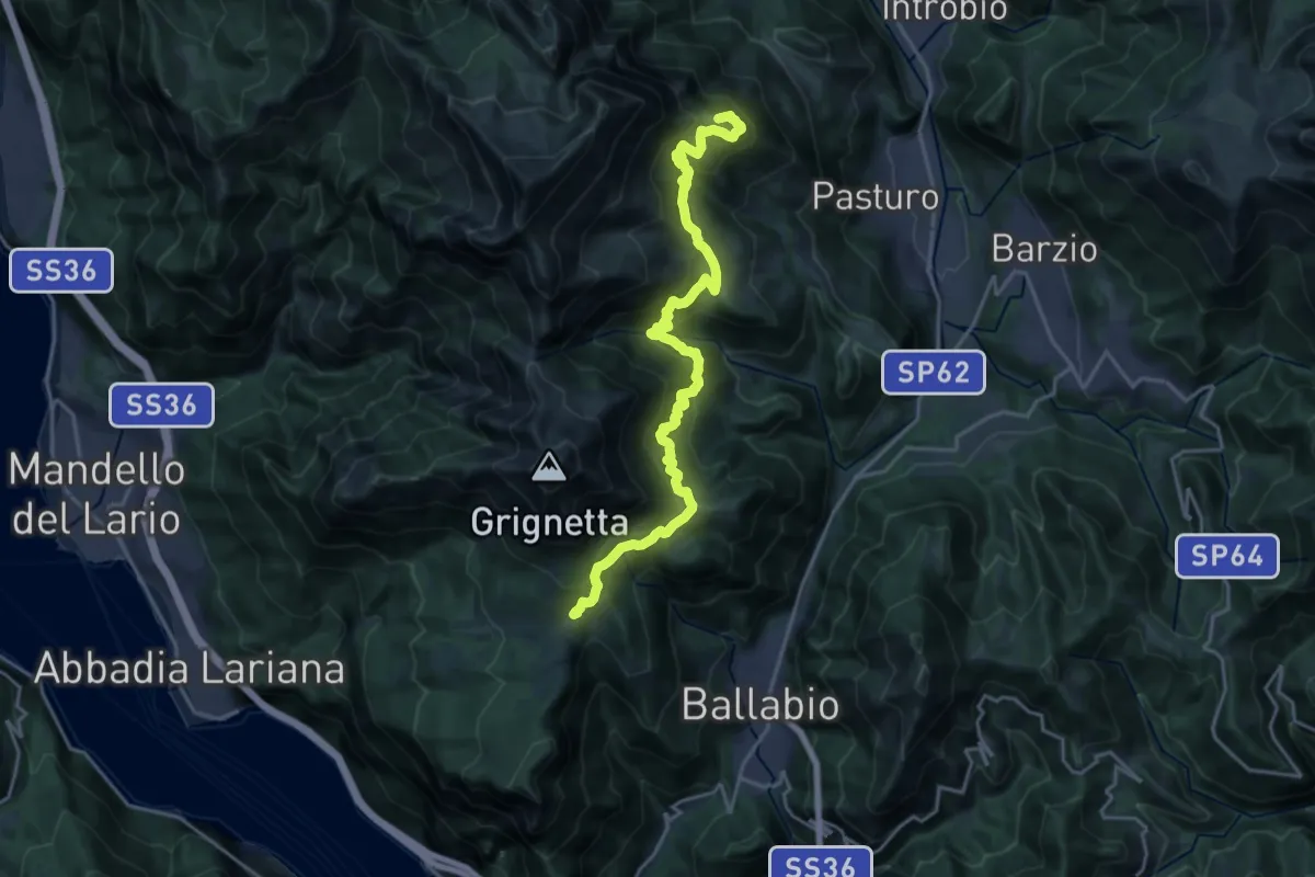
Demanding · Summit
Traversata Bassa delle Grigne
21.3 km · ↑ 1565 m · 8 h 25 min · 13 km away
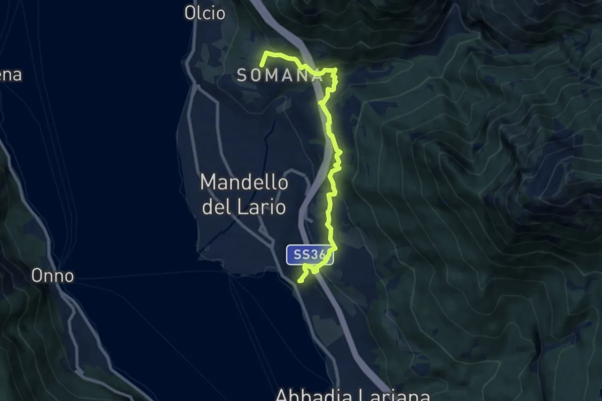
Medium · Summit
Sentiero del Viandante (Mandello del Lario - Lierna)
8.0 km · ↑ 430 m · 2 h 50 min · 13 km away
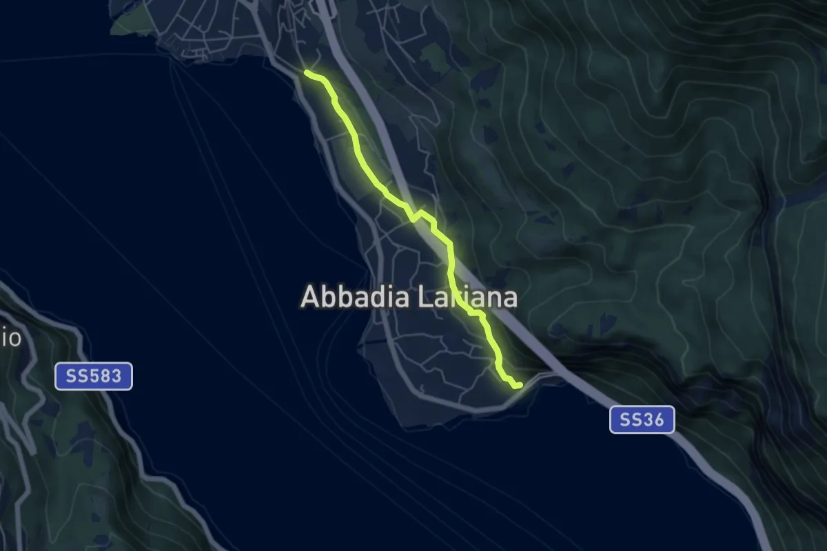
Easy · Trail
Sentiero del Viandante (Abbadia Lariana - Mandello del Lario)
4.6 km · ↑ 124 m · 1 h 22 min · 13 km away
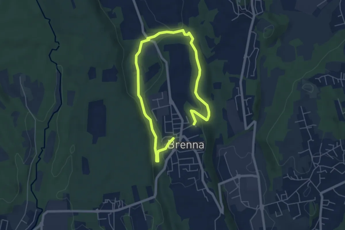
Easy · Trail
Valle Sorda – Valle di Brenna
7.8 km · ↑ 140 m · 2 h 9 min · 13 km away
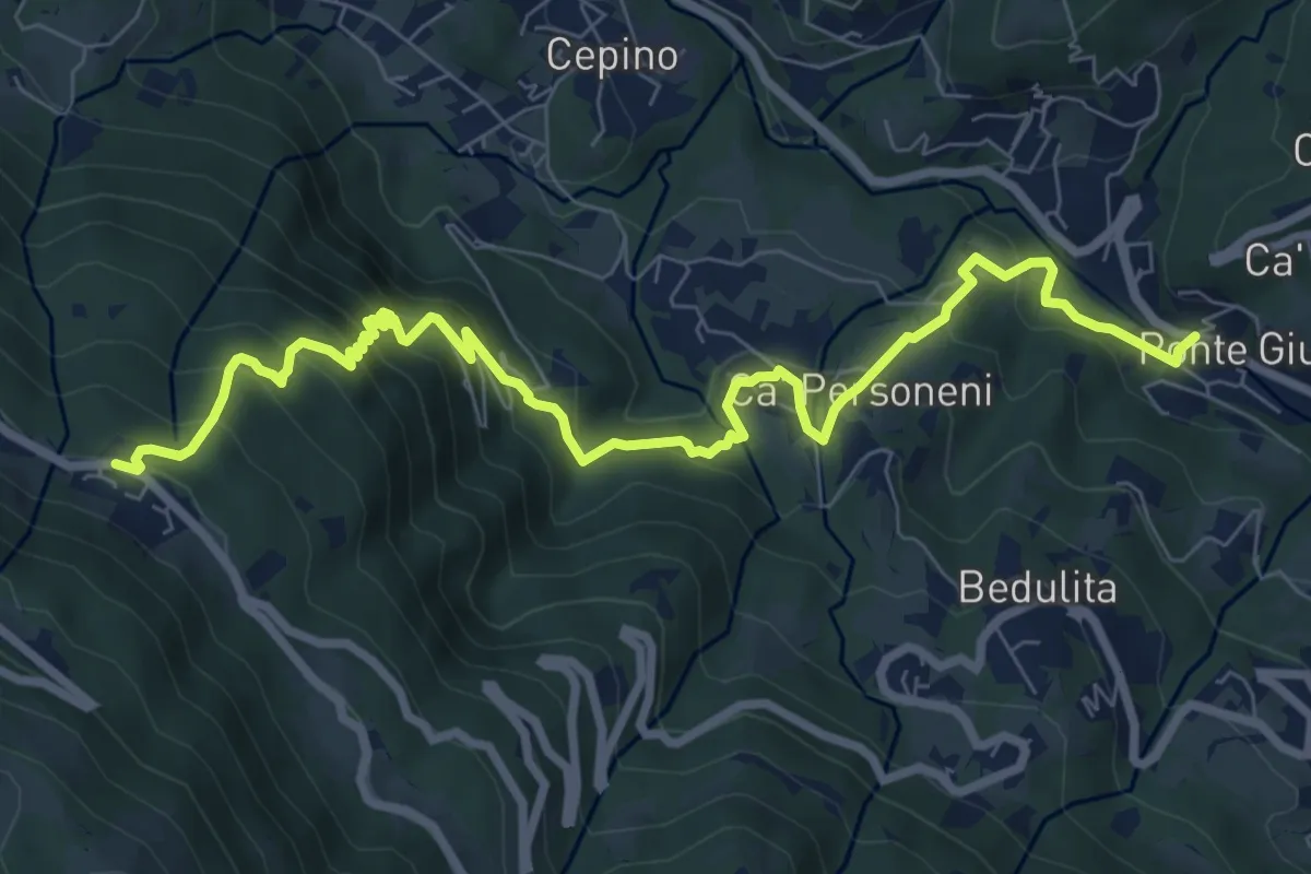
Medium · Trail
Ponte Giurino – Costa Imagna
9.8 km · ↑ 797 m · 4 h 2 min · 14 km away
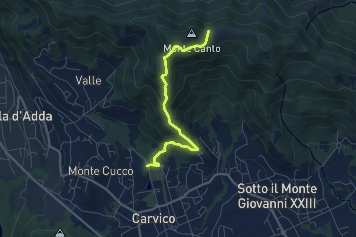
Medium · Trail
Carvico – Il Canto (incrocio 891)
5.7 km · ↑ 438 m · 2 h 18 min · 14 km away
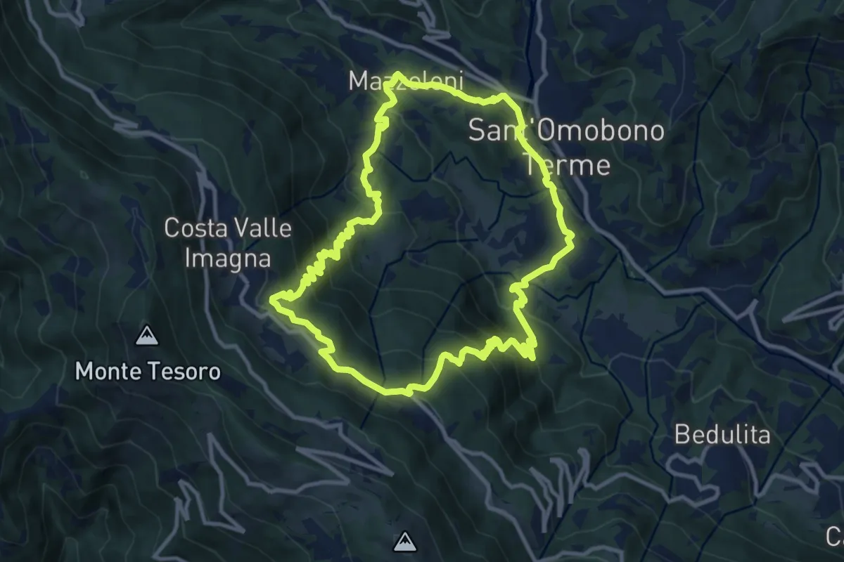
Medium · Trail
Sentiero del Dono
10.7 km · ↑ 707 m · 4 h 12 min · 14 km away
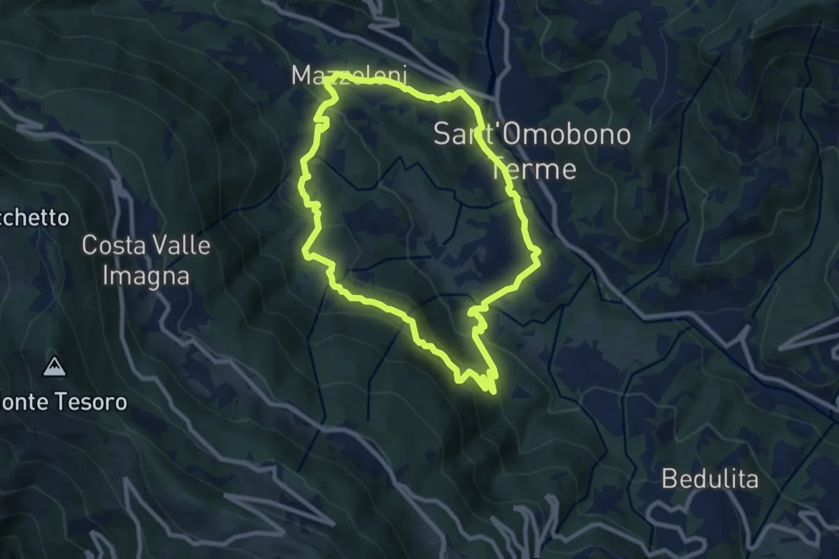
Medium · Trail
Cammino dei Petali
7.5 km · ↑ 428 m · 2 h 48 min · 14 km away
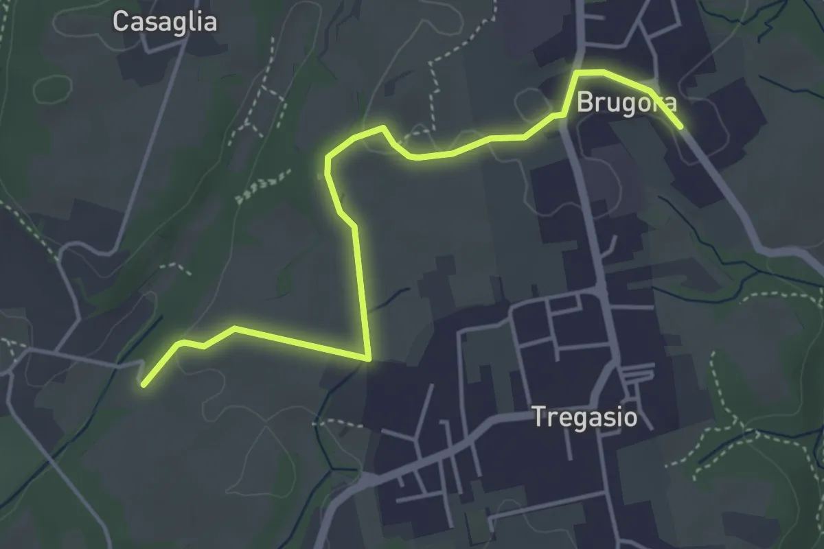
Easy · Trail
Brugora – Cascina Riva
4.5 km · ↑ 33 m · 1 h 8 min · 14 km away
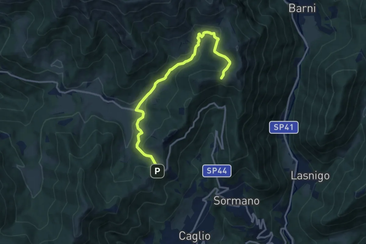
Medium · Trail
Colma di Sormano – Colma del Bosco
10.4 km · ↑ 419 m · 3 h 21 min · 14 km away
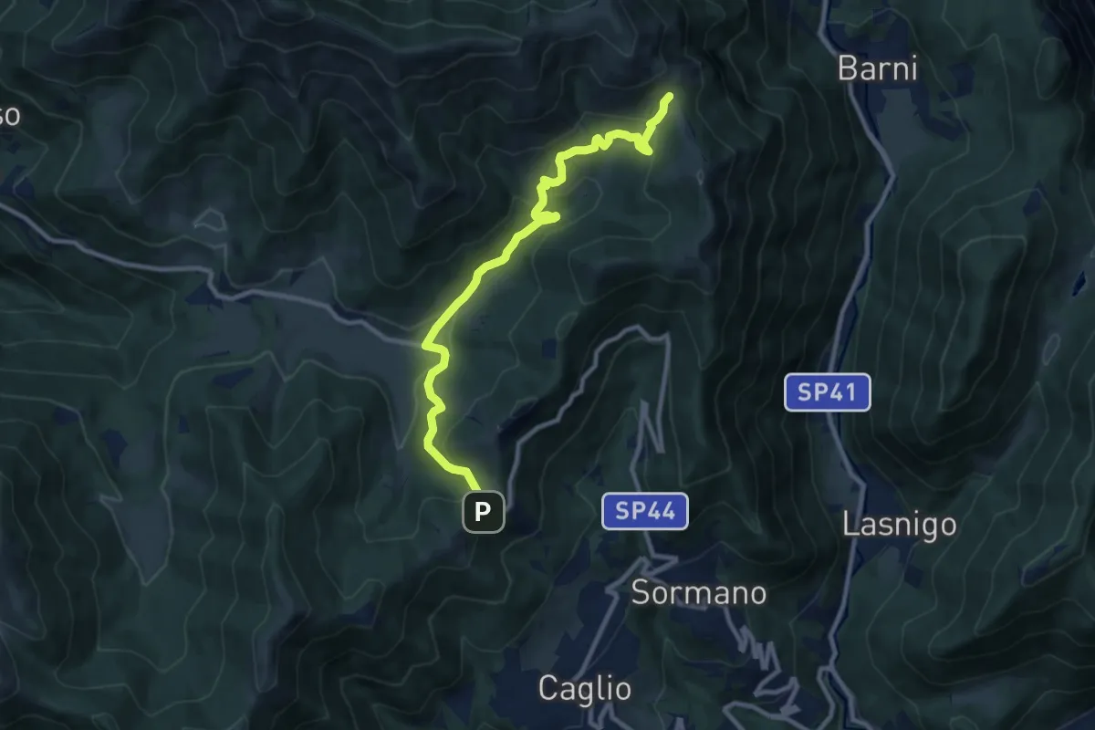
Medium · Trail
Colma di Sormano – Bocchetta di Spessola
10.1 km · ↑ 446 m · 3 h 21 min · 14 km away
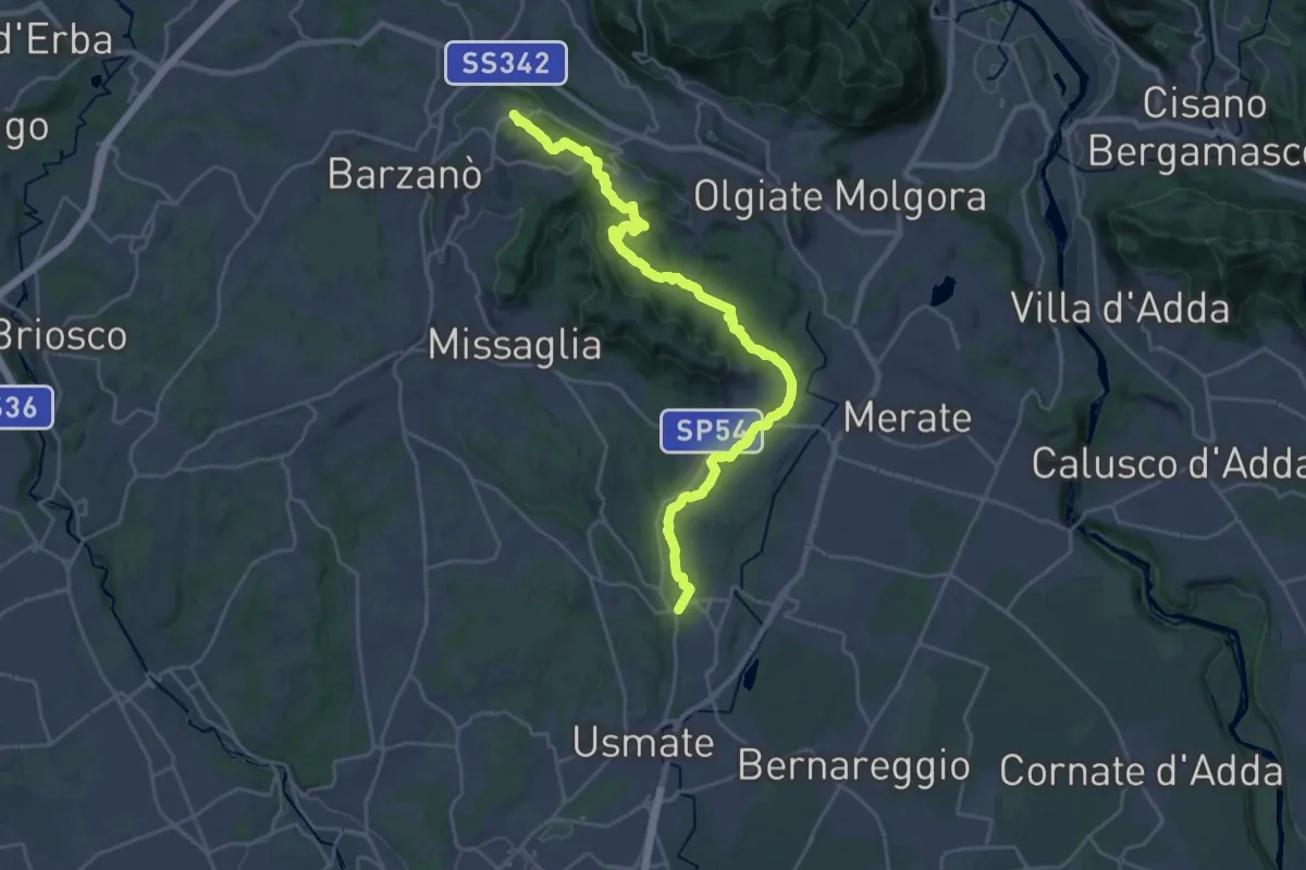
Demanding · Trail
Ceregallo – Lomagna
27.3 km · ↑ 443 m · 7 h 24 min · 14 km away
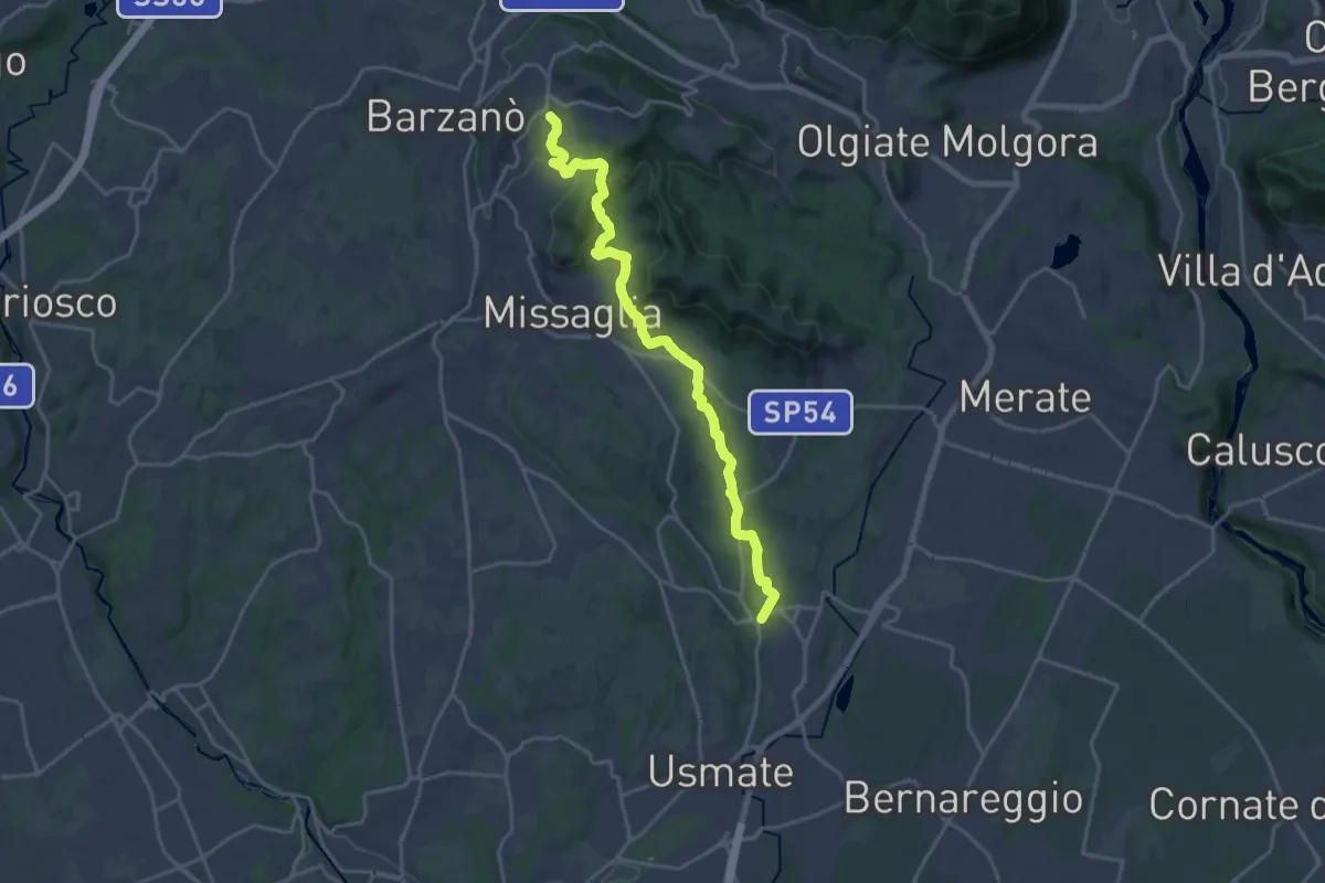
Demanding · Trail
Sirtori – Lomagna
20.3 km · ↑ 429 m · 5 h 43 min · 14 km away
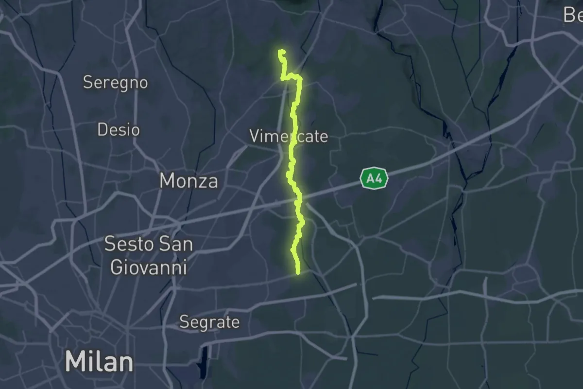
Demanding · Trail
Bussero (Cascina Gogna) – Lomagna (Fornace)
23.1 km · ↑ 53 m · 5 h 56 min · 14 km away
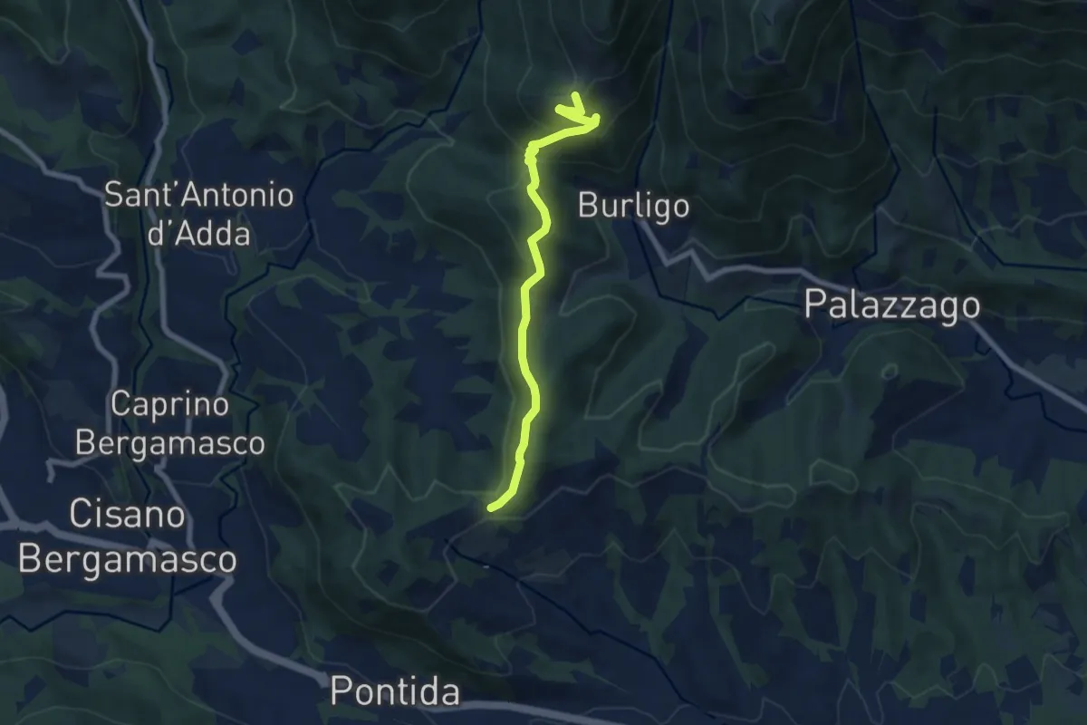
Medium · Summit
Gronfaleggio – Col Pedrino
6.5 km · ↑ 368 m · 2 h 20 min · 14 km away
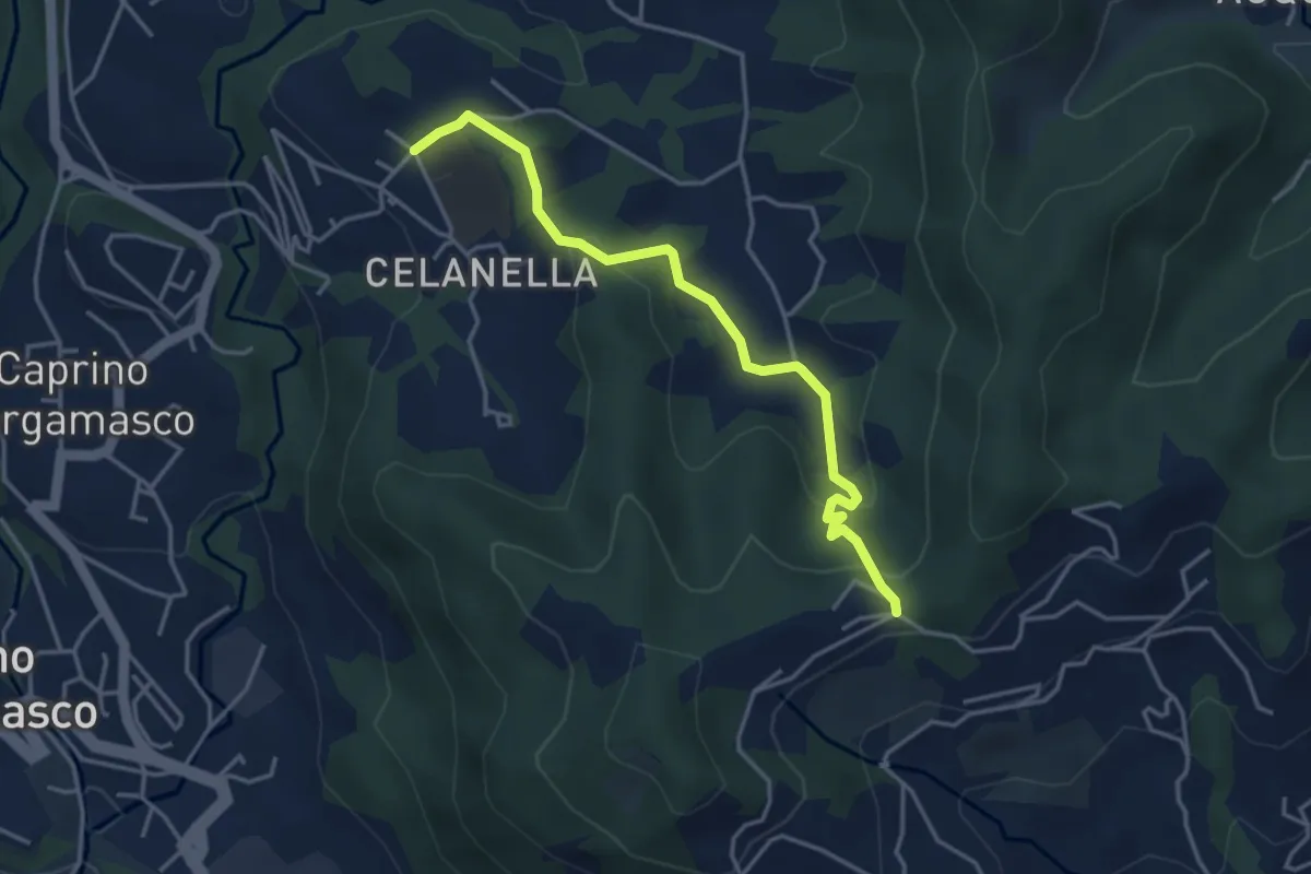
Easy · Trail
Gronfaleggio – Celana
4.0 km · ↑ 148 m · 1 h 16 min · 14 km away
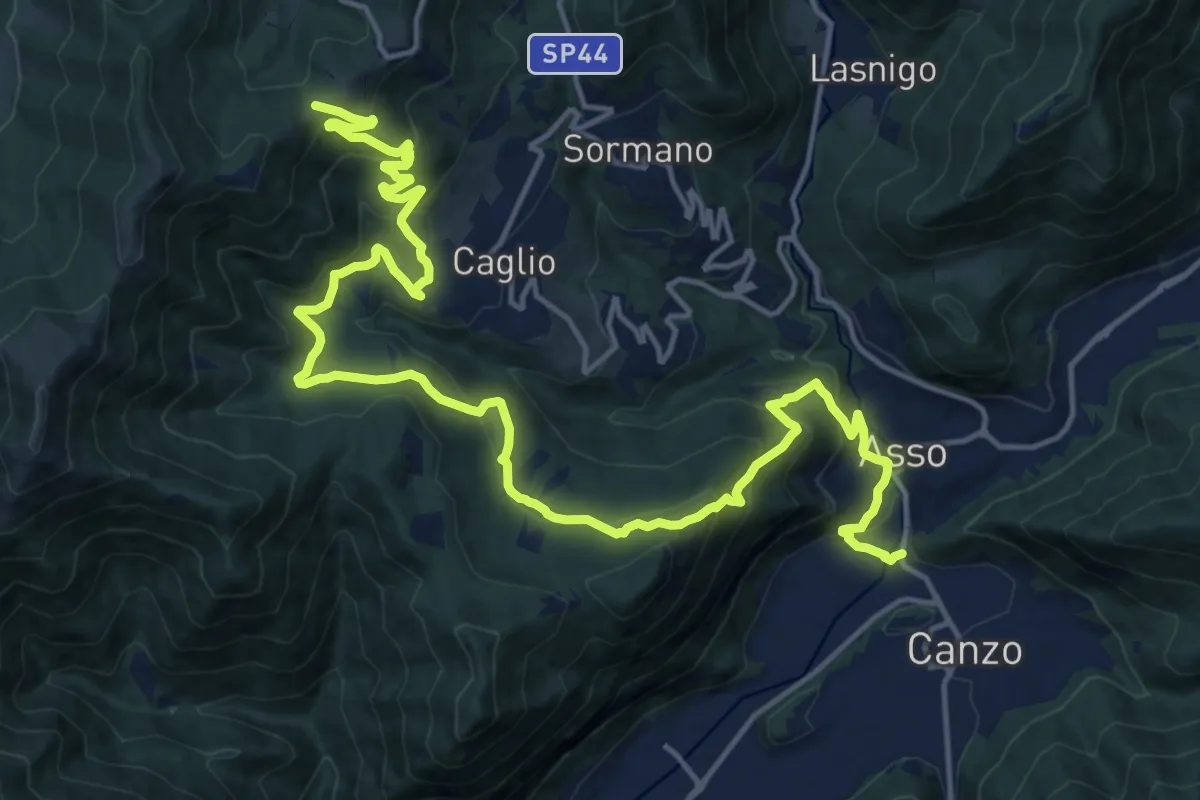
Demanding · Trail
Innesto Sentiero 300 – Innesto Sentiero 307V
22.6 km · ↑ 1139 m · 7 h 48 min · 14 km away
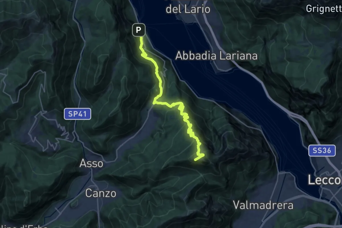
Demanding · Summit
Lago del Segrino – Onno (Oliveto Lario)
19.3 km · ↑ 1178 m · 7 h 7 min · 14 km away
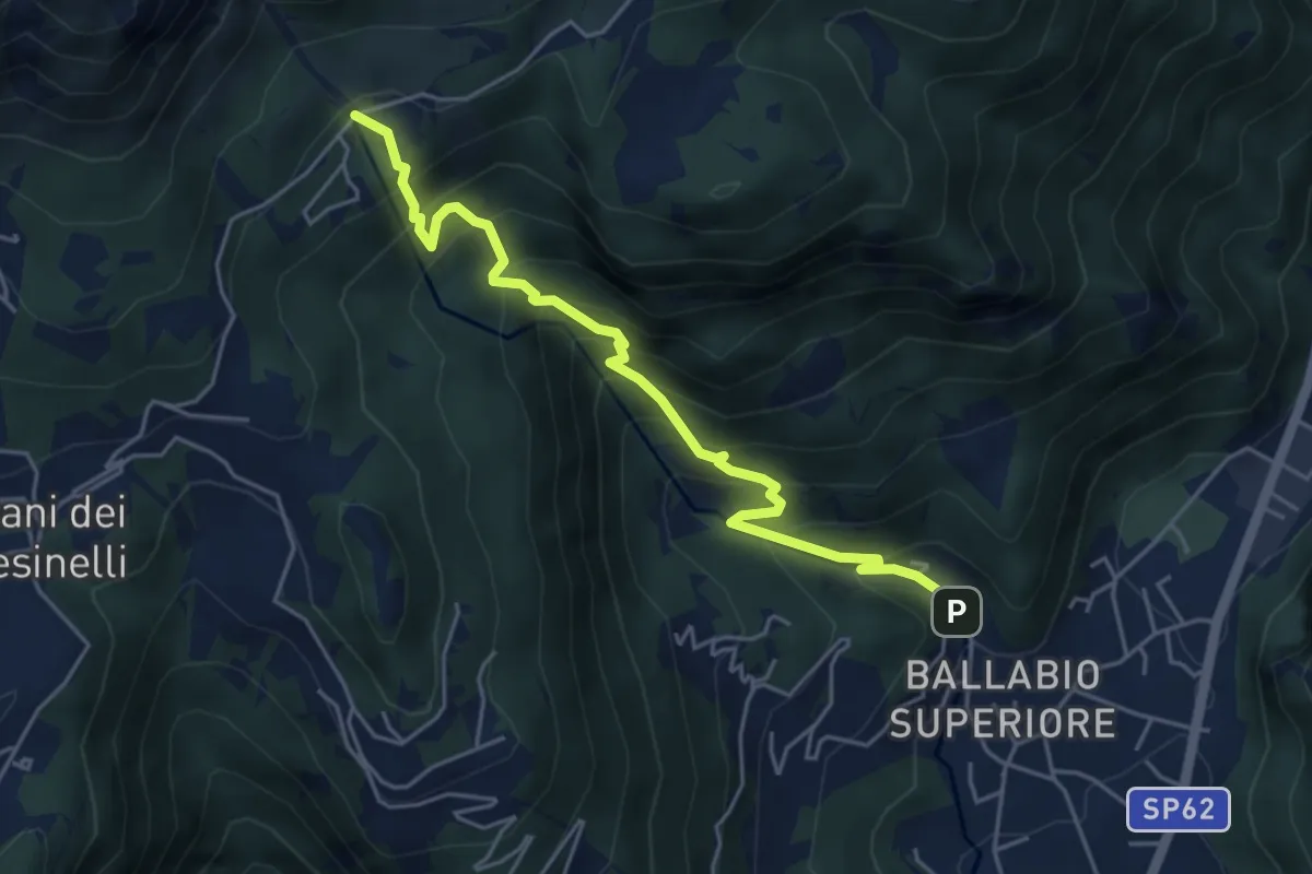
Medium · Trail
Sentiero 50: Ballabio - Piani Resinelli
5.1 km · ↑ 623 m · 2 h 33 min · 14 km away
Demanding · Summit
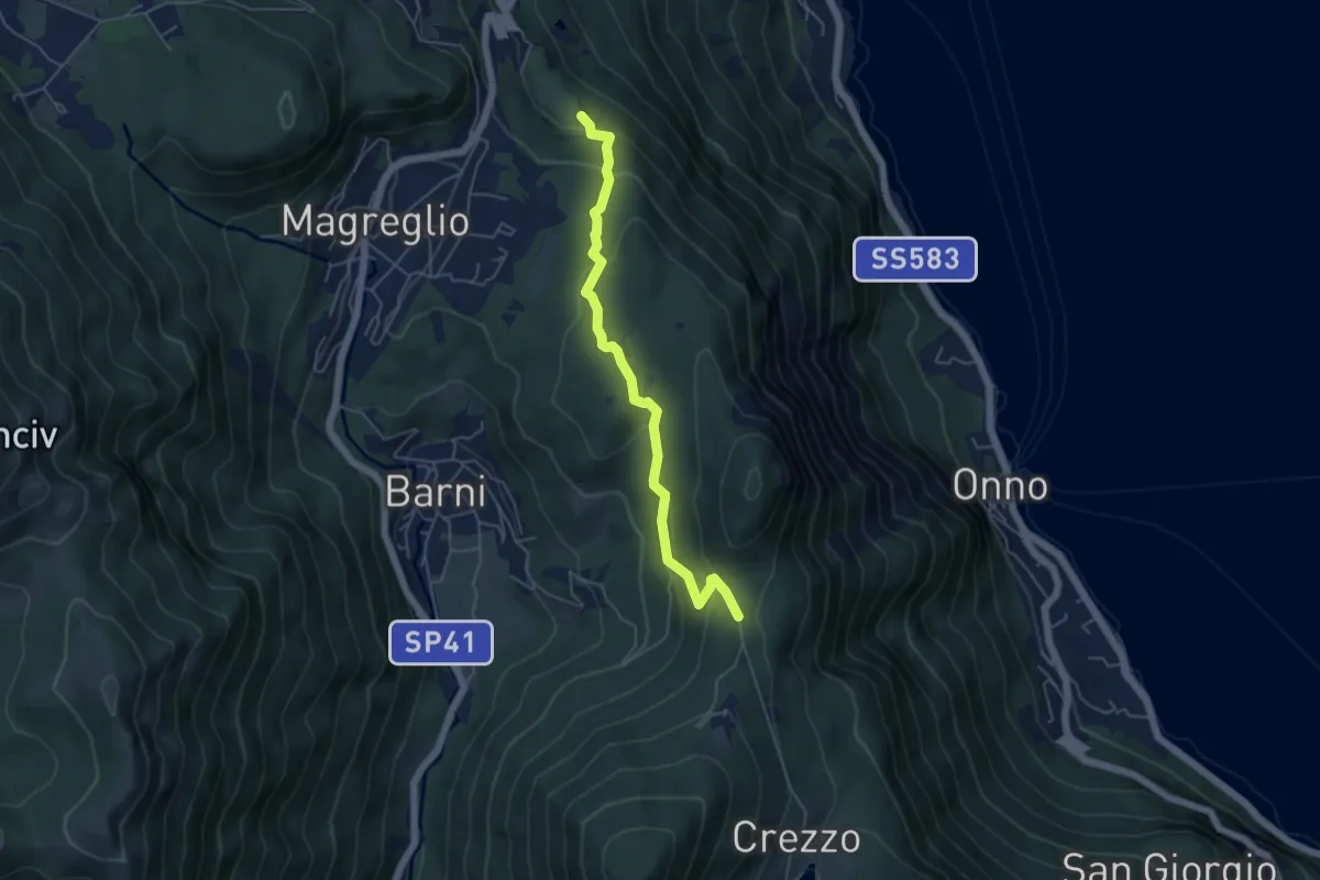
Gera – Monte Due Mani
6.3 km · ↑ 961 m · 3 h 34 min · 14 km away
Easy · Trail
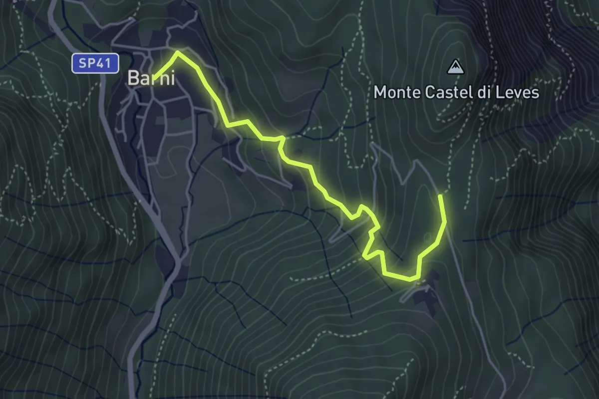
Caval di Barni – Alpetto
5.1 km · ↑ 253 m · 1 h 45 min · 14 km away
Easy · Trail
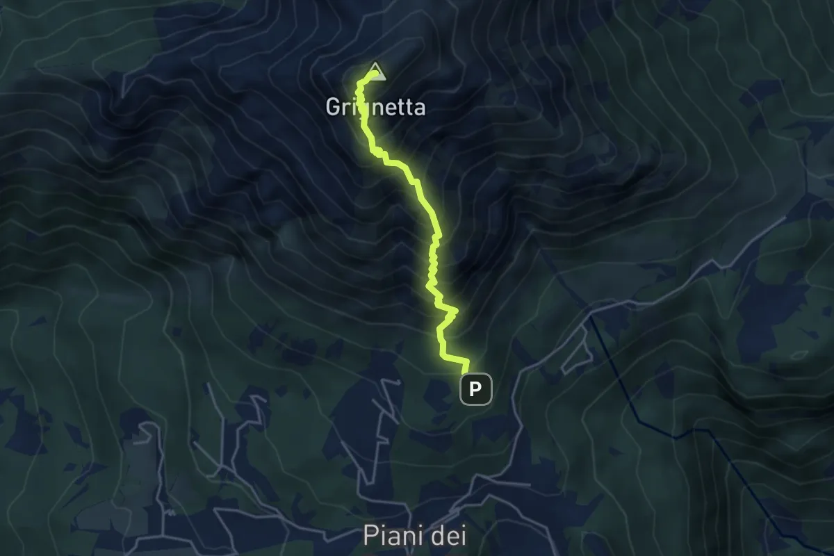
Barni – Caval di Barni
4.5 km · ↑ 262 m · 1 h 37 min · 14 km away
Demanding · Summit
Sentiero Cermenati
3.7 km · ↑ 670 m · 2 h 20 min · 14 km away
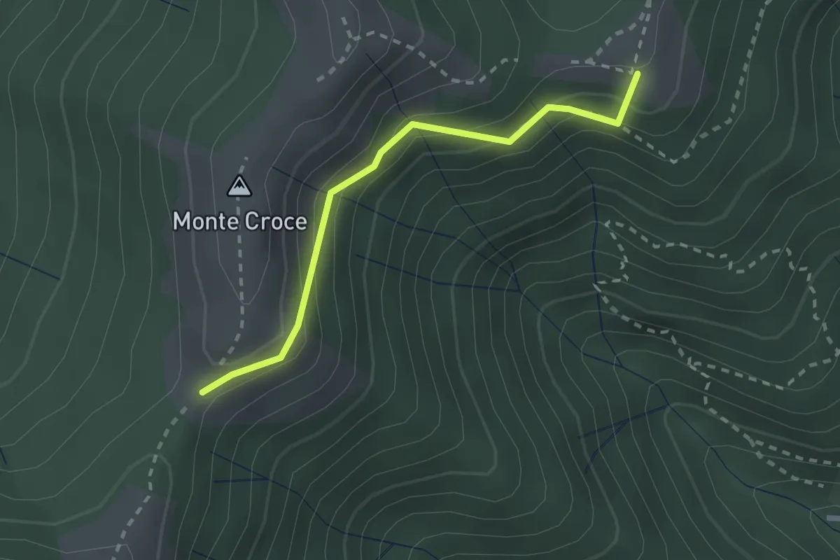
Medium · Summit
Ca' del Boschet – Bocchetta di Caglio
2.3 km · ↑ 128 m · 49 min · 14 km away
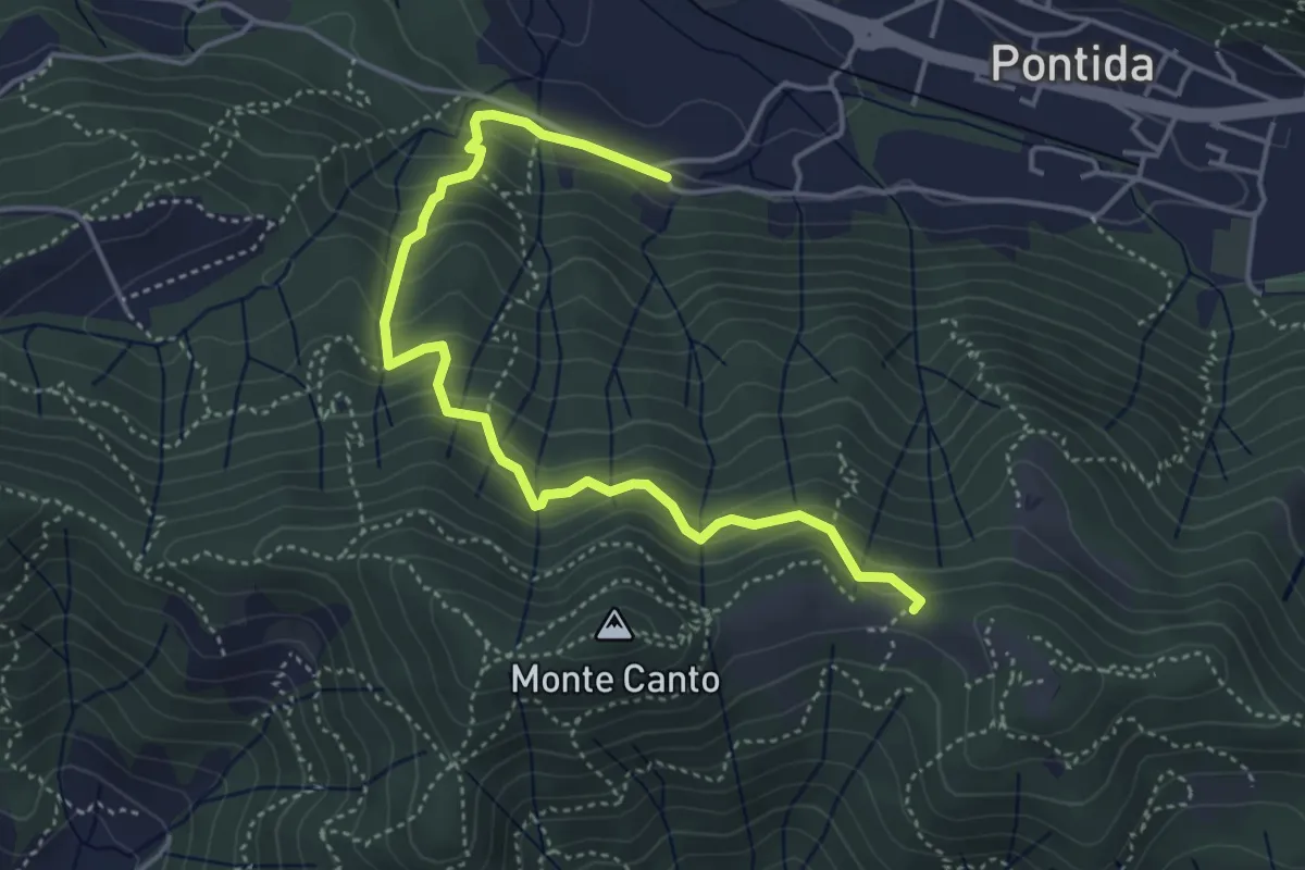
Medium · Trail
Pontida (Santuario San Giuseppe) – Il Canto (incrocio 897)
4.9 km · ↑ 429 m · 2 h 5 min · 14 km away
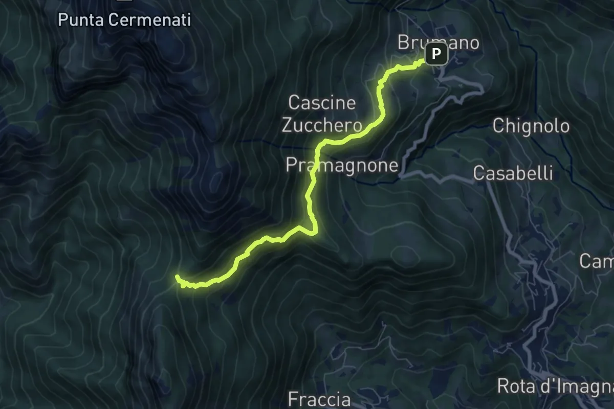
Medium · Trail
Brumano – La Passata
7.1 km · ↑ 520 m · 2 h 49 min · 14 km away
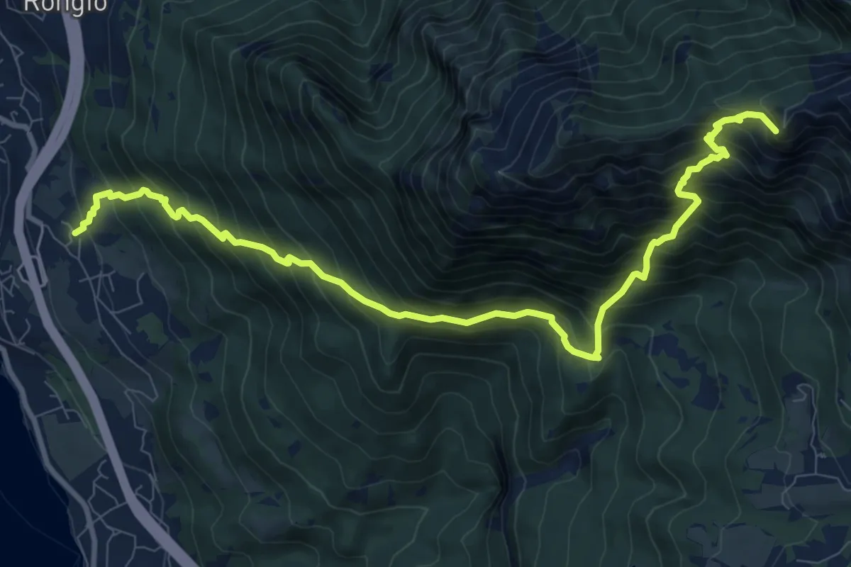
Demanding · Summit
Maggiana or Rongio – Rifugio Rosalba
11.2 km · ↑ 1434 m · 5 h 45 min · 14 km away