Trails near Oggiono
309 hikes starting within 15 km, nearest first.
Nearest first, page 7 of 7
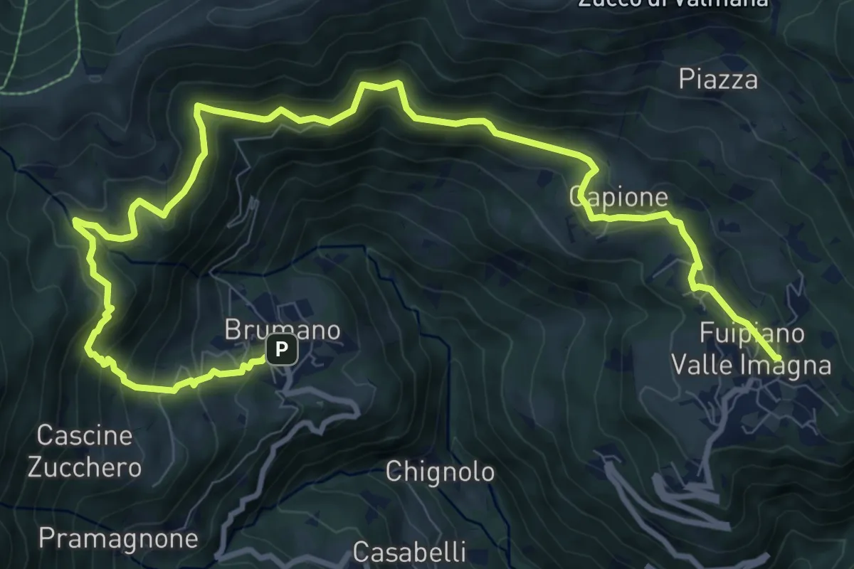
Demanding · Trail
Sentiero dei Laghi Basso- Tappa 2
13.6 km · ↑ 854 m · 5 h 3 min · 14 km away
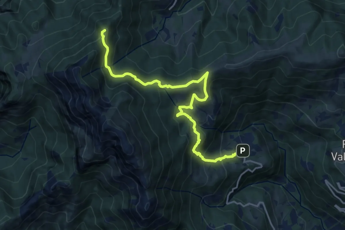
Demanding · Summit
Sentiero dei Laghi Basso - Tappa 1
13.1 km · ↑ 881 m · 5 h · 14 km away
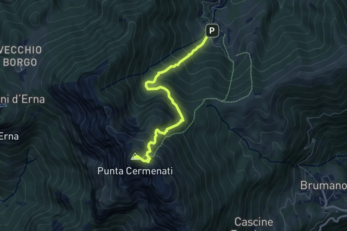
Medium · Summit
Morterone – Monte Resegone
6.5 km · ↑ 759 m · 3 h 11 min · 14 km away
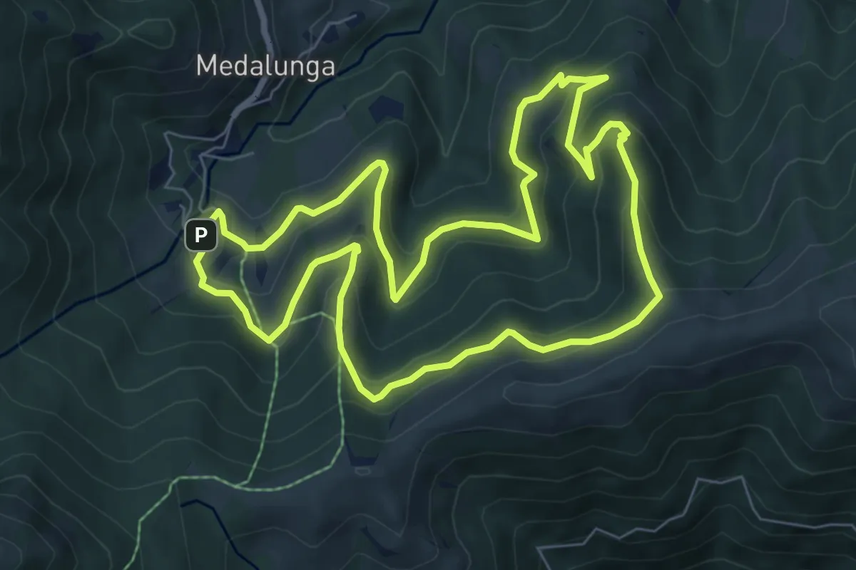
Medium · Trail
Sentiero dei Grandi Alberi - Anello
7.4 km · ↑ 485 m · 2 h 54 min · 14 km away
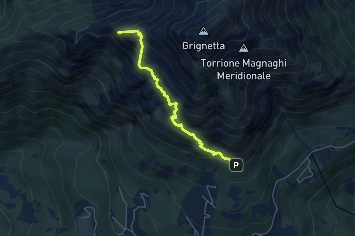
Expert · Summit
Direttissima
3.9 km · ↑ 621 m · 2 h 16 min · 14 km away
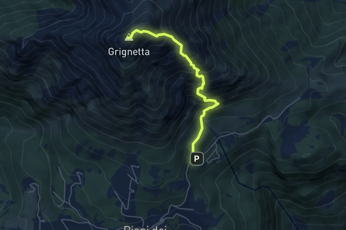
Expert · Summit
Cresta Sinigaglia
4.6 km · ↑ 824 m · 2 h 52 min · 14 km away
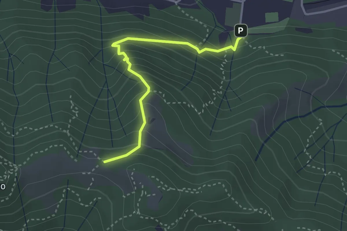
Medium · Trail
Pontida – Il Canto (incrocio 891)
3.1 km · ↑ 308 m · 1 h 23 min · 14 km away
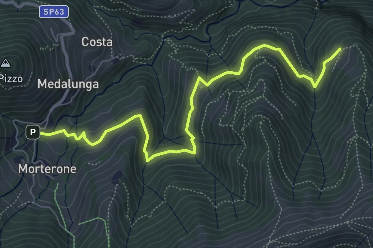
Medium · Trail
Morterone – Selvano
7.0 km · ↑ 331 m · 2 h 23 min · 14 km away
Medium · Trail
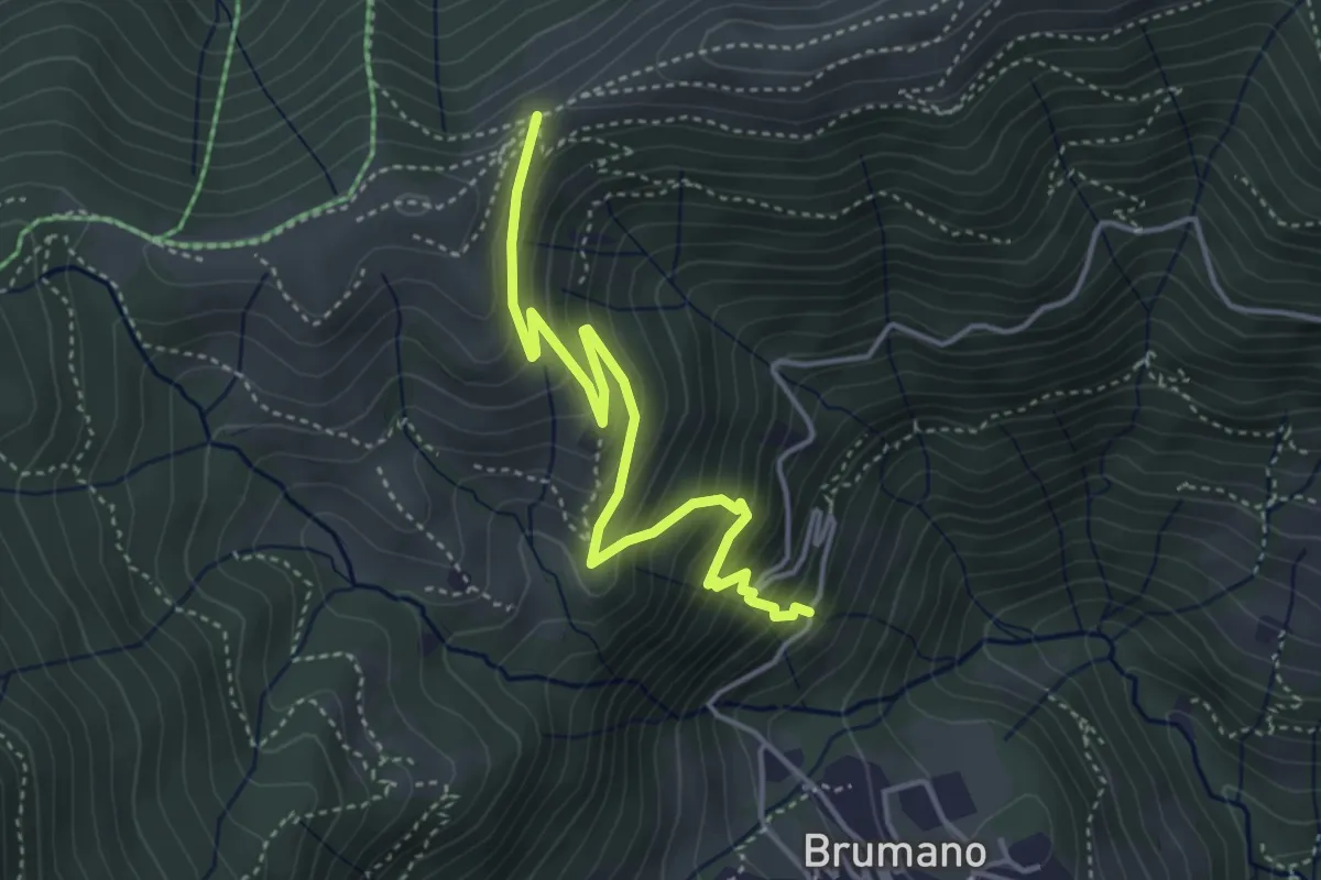
Brumano – Passo del Palio
4.3 km · ↑ 401 m · 1 h 54 min · 14 km away
Medium · Summit
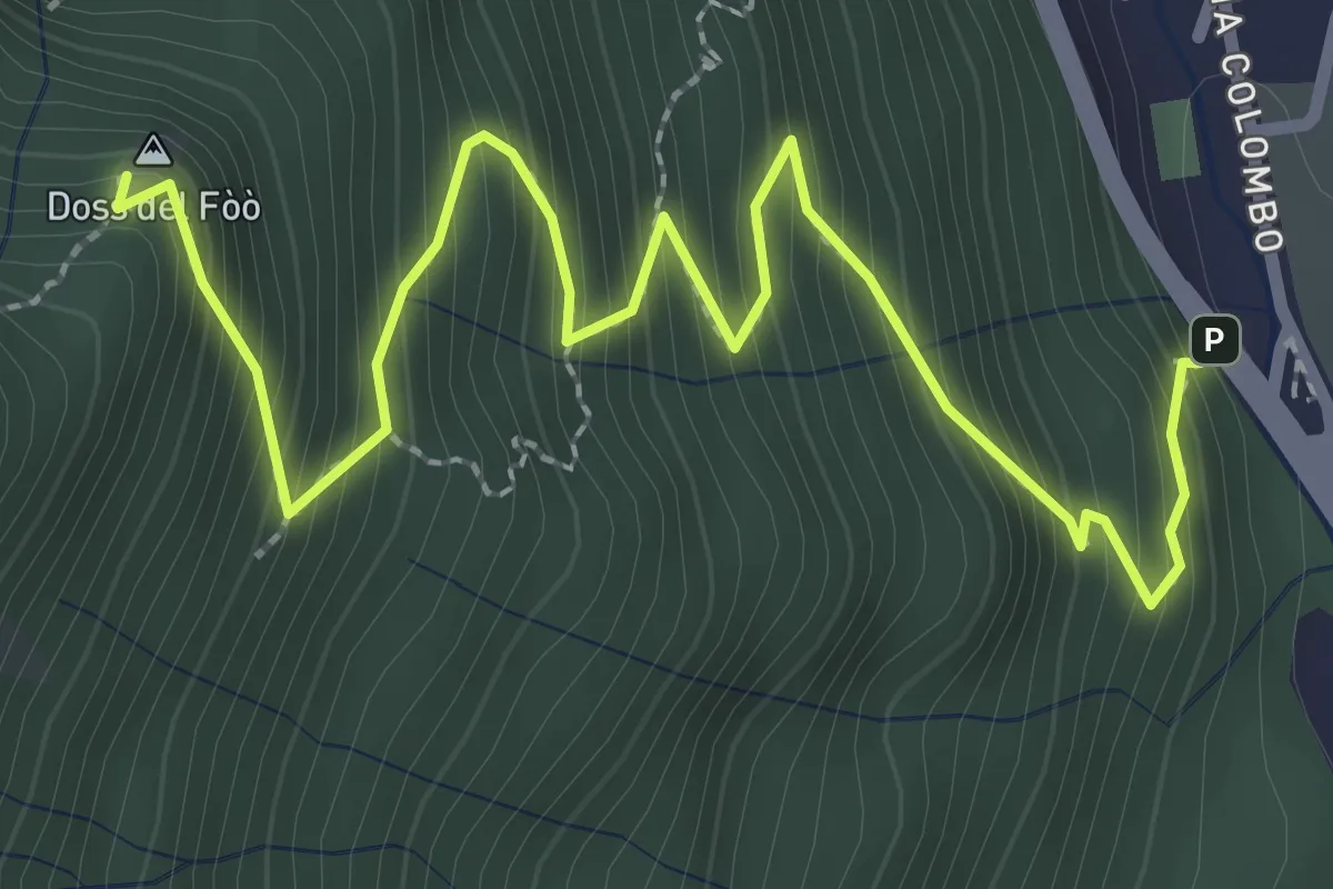
Barni – Bocchetta di Spessola
3.6 km · ↑ 433 m · 1 h 48 min · 14 km away
Easy · Trail
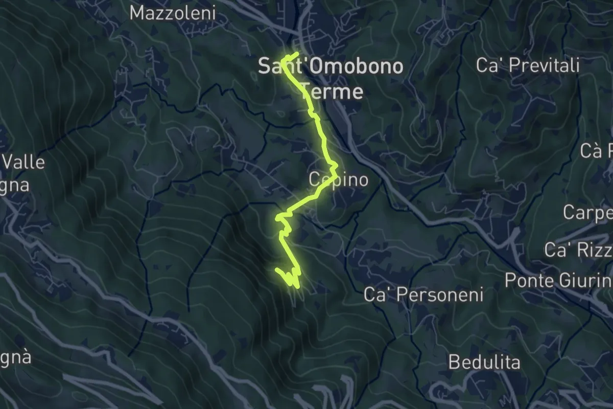
Selino Basso – Santuario della Cornabusa
6.0 km · ↑ 293 m · 2 h 3 min · 14 km away
Expert · Summit
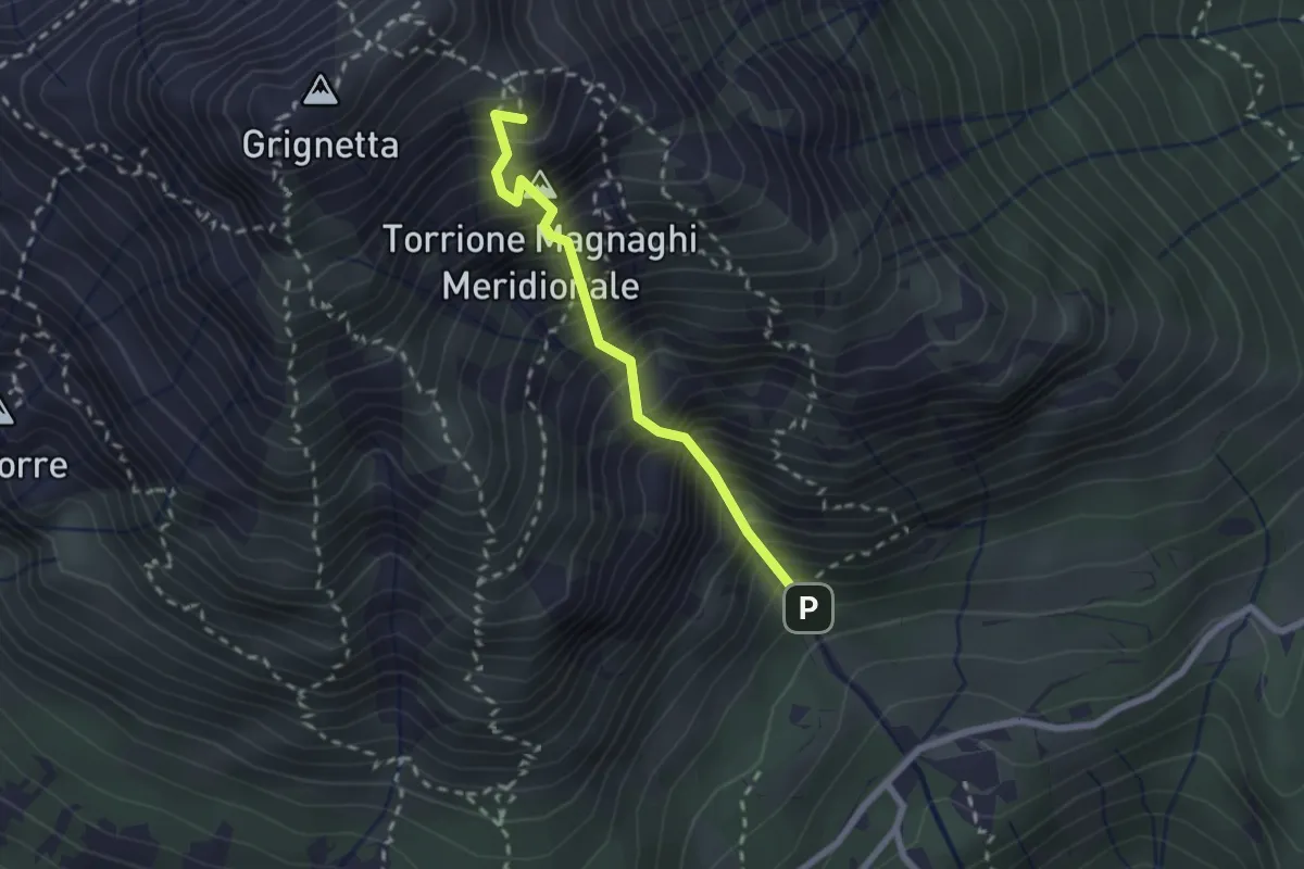
Canalone Porta
2.1 km · ↑ 606 m · 1 h 48 min · 14 km away
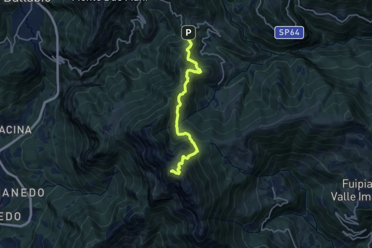
Demanding · Summit
Forcella di Olino – Monte Resegone
10.5 km · ↑ 866 m · 4 h 22 min · 15 km away
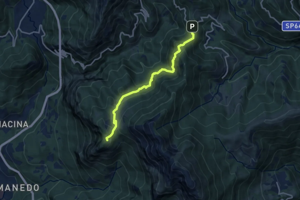
Expert · Trail
Pianid'Erna – Forcella di Olino
8.9 km · ↑ 659 m · 3 h 32 min · 15 km away
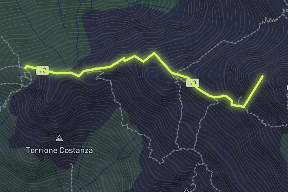
Expert · Summit
Sentiero Cecilia
2.4 km · ↑ 349 m · 1 h 19 min · 15 km away
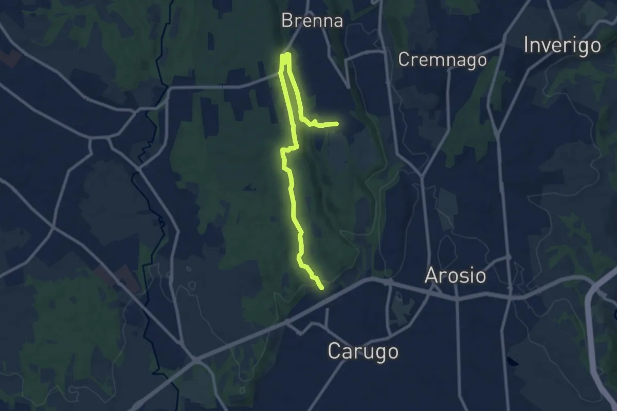
Medium · Trail
Cascina Gattedo – Pozzolo Inferiore
8.9 km · ↑ 131 m · 2 h 23 min · 15 km away
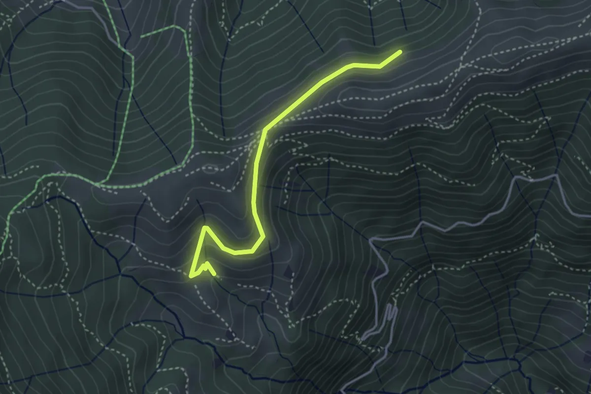
Medium · Cabin
Sentiero dei Grandi Alberi - Variante per il Foo del Büs
3.5 km · ↑ 179 m · 1 h 13 min · 15 km away
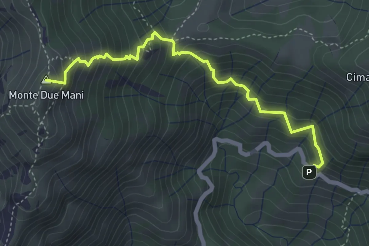
Medium · Summit
Innesto SP63 – Monte Due Mani
4.1 km · ↑ 587 m · 2 h 14 min · 15 km away
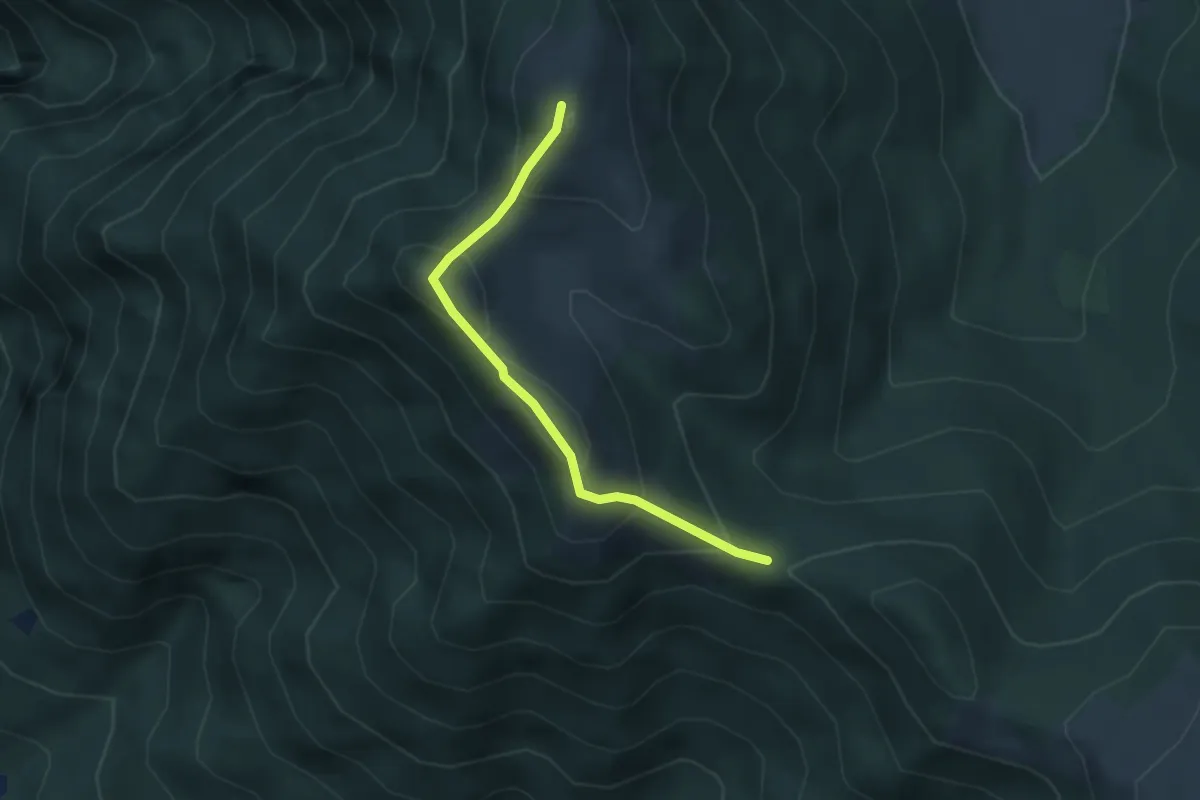
Medium · Summit
Bocchetta di Sciff – Monte Preaola
3.1 km · ↑ 196 m · 1 h 9 min · 15 km away
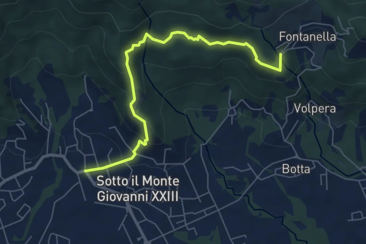
Easy · Trail
Sotto il Monte – Fontanella (incrocio 892)
5.8 km · ↑ 311 m · 2 h 3 min · 15 km away
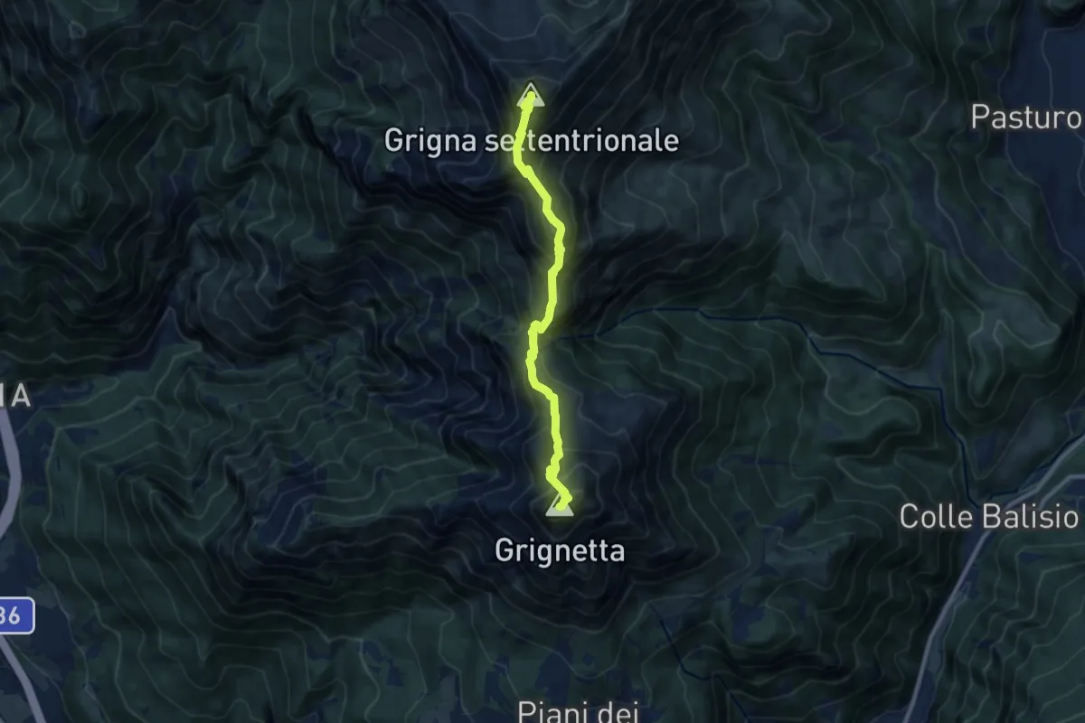
Expert · Summit
Traversata Alta delle Grigne
9.0 km · ↑ 1038 m · 4 h 22 min · 15 km away