Trails near Olgiate Comasco
167 hikes starting within 15 km, nearest first.
Nearest first, page 2 of 4
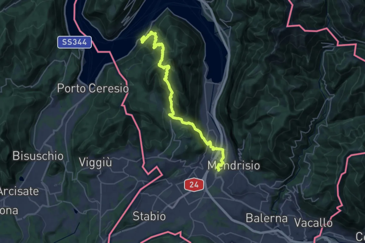
Demanding · Trail
Trans Swiss Trail
12.0 km · ↑ 809 m · 4 h 47 min · 9 km away
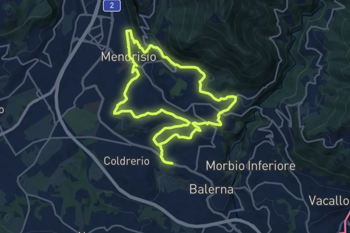
Medium · Trail
Itinerario "L’uomo e la vite"
10.9 km · ↑ 309 m · 3 h 24 min · 10 km away
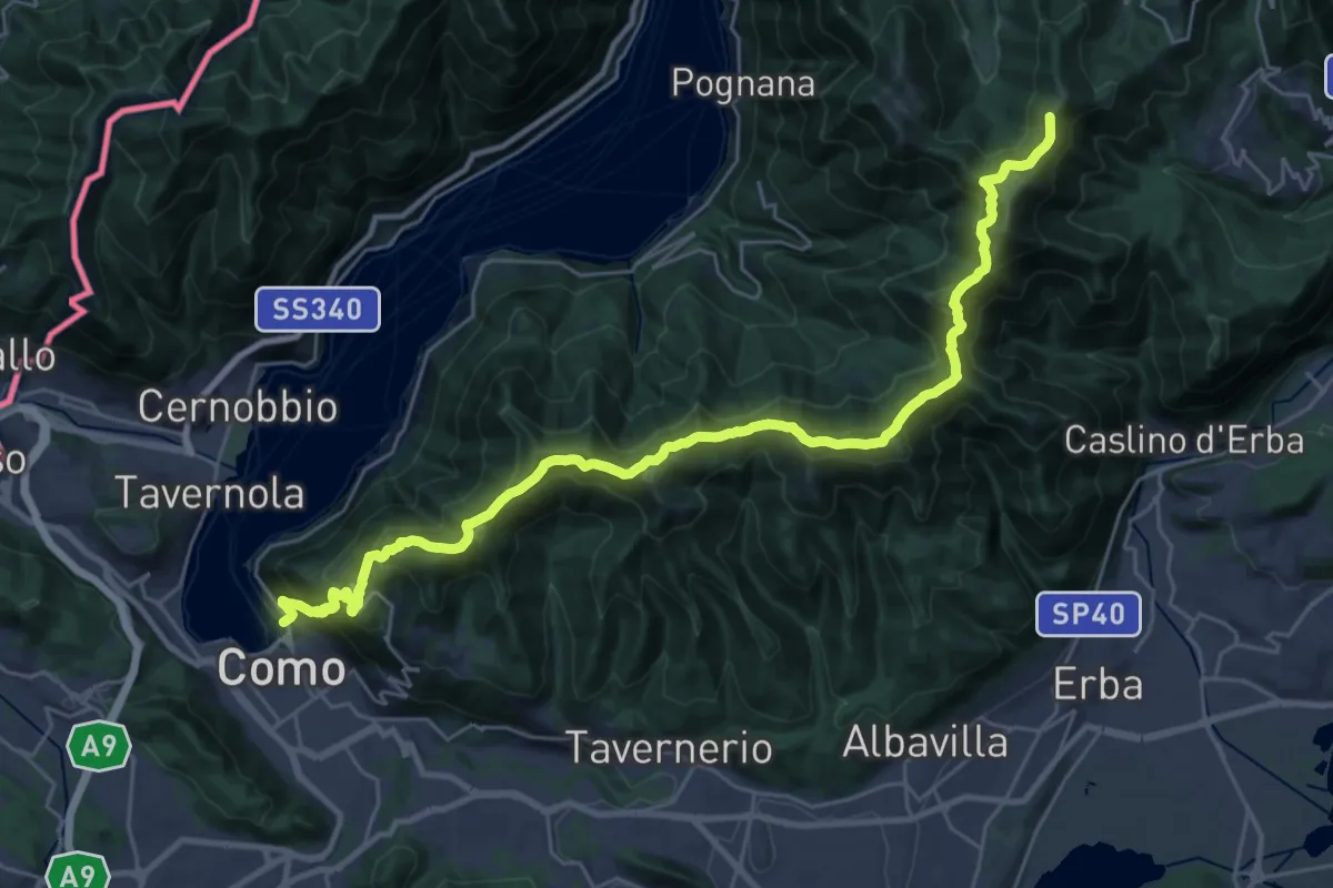
Demanding · Summit
Como – Piano del Tivano
32.2 km · ↑ 2080 m · 12 h 6 min · 10 km away
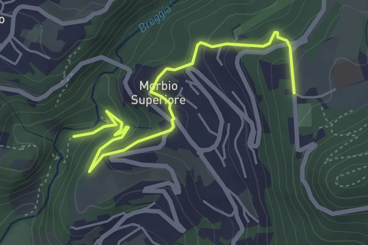
Easy · Trail
Parco Gole della Breggia – Lattecaldo
4.6 km · ↑ 292 m · 1 h 43 min · 10 km away
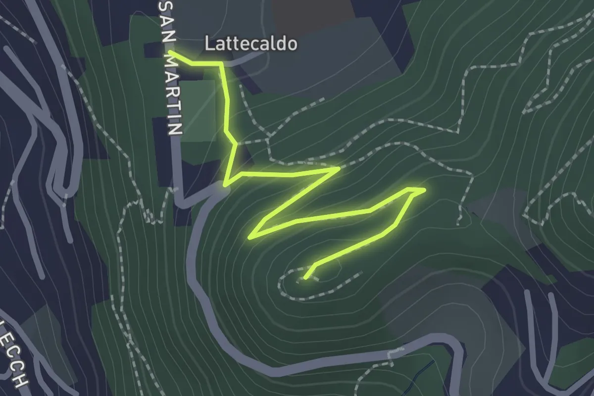
Easy · Trail
Lattecaldo – San Martino
2.3 km · ↑ 138 m · 51 min · 10 km away
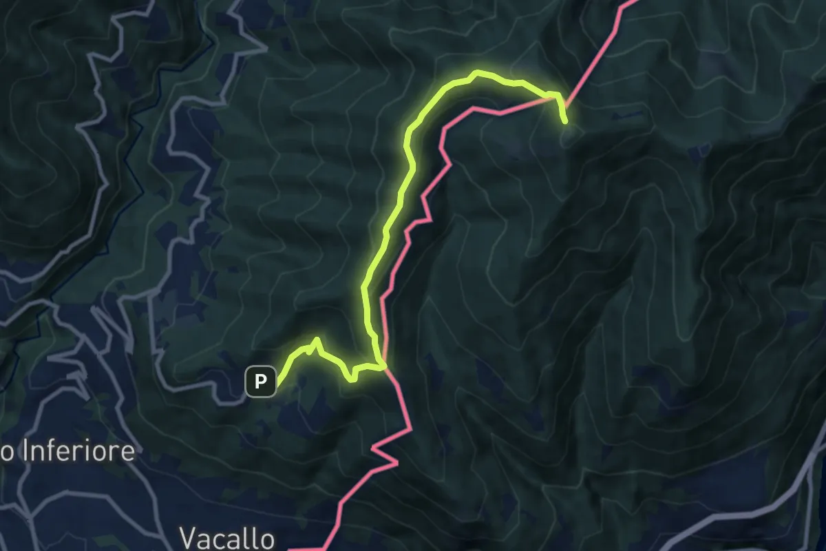
Medium · Trail
Sagno – Monte Bisbino
9.3 km · ↑ 597 m · 3 h 30 min · 10 km away
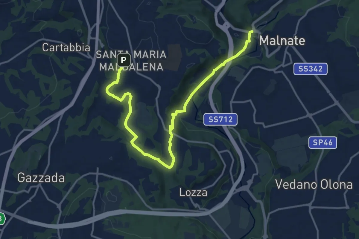
Medium · Trail
Varese - via S.M. Maddalena – Folla di Malnate
13.1 km · ↑ 285 m · 3 h 42 min · 10 km away
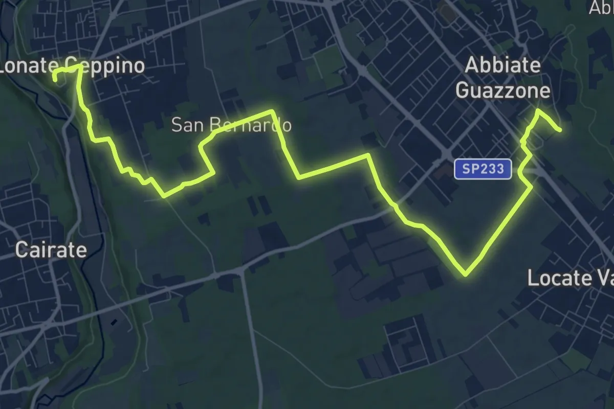
Medium · Trail
520F Collegamento RTO-Pineta
15.1 km · ↑ 102 m · 3 h 47 min · 10 km away
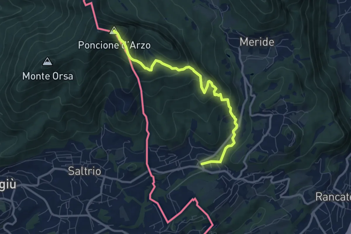
Medium · Summit
Poncione d'Arzo – Arzo
8.0 km · ↑ 537 m · 3 h 3 min · 10 km away
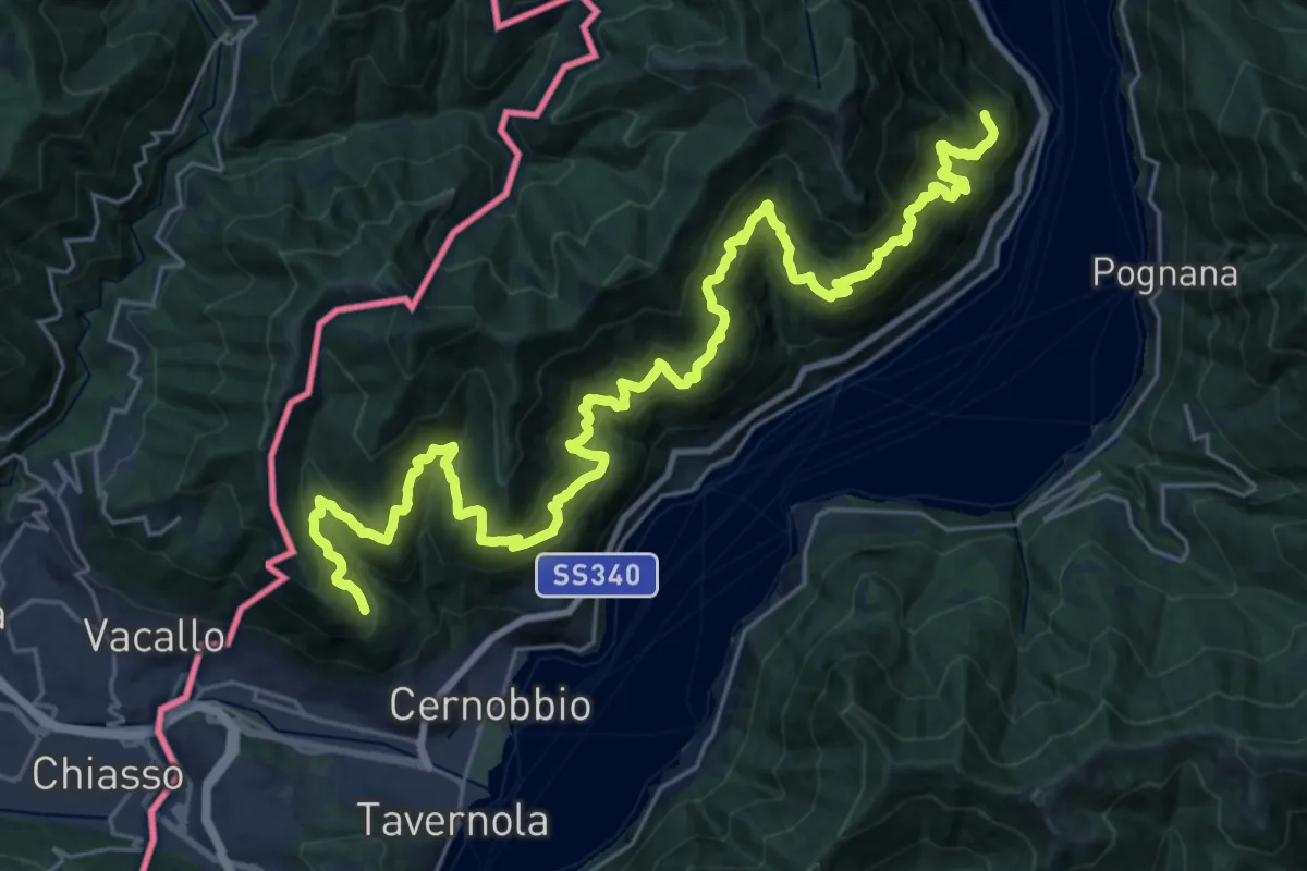
Expert · Trail
Sentiero mezza costa
16.5 km · ↑ 1501 m · 7 h 25 min · 10 km away
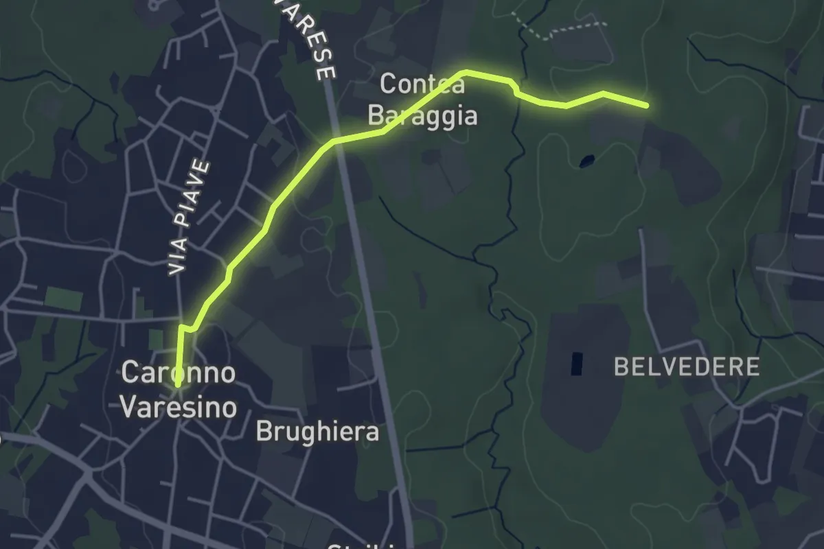
Easy · Trail
520D Collegamento Caronno Varesino-Dorsale RTO
4.0 km · ↑ 32 m · 1 h · 10 km away
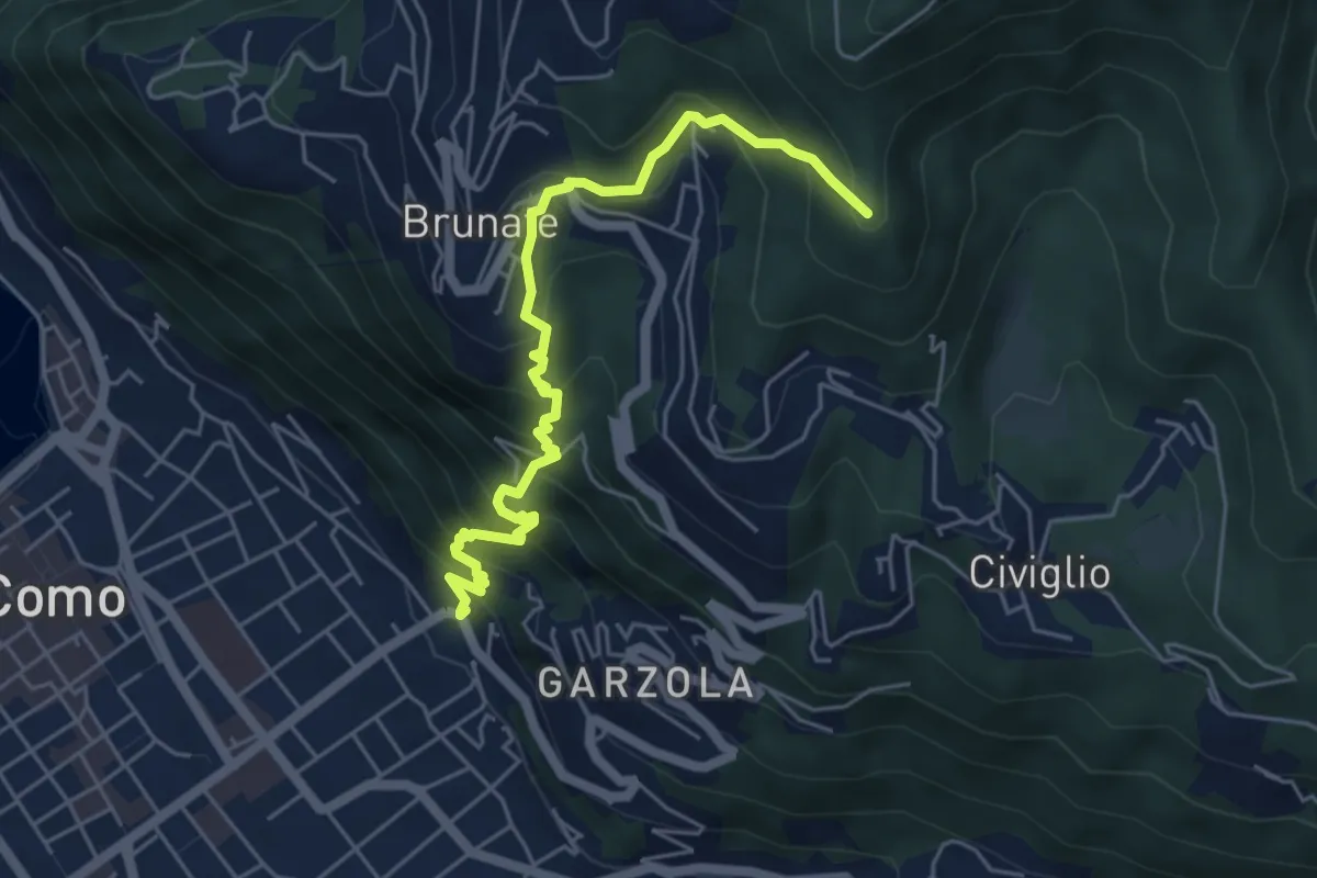
Medium · Summit
Santa Croce – CAO
5.6 km · ↑ 596 m · 2 h 36 min · 10 km away
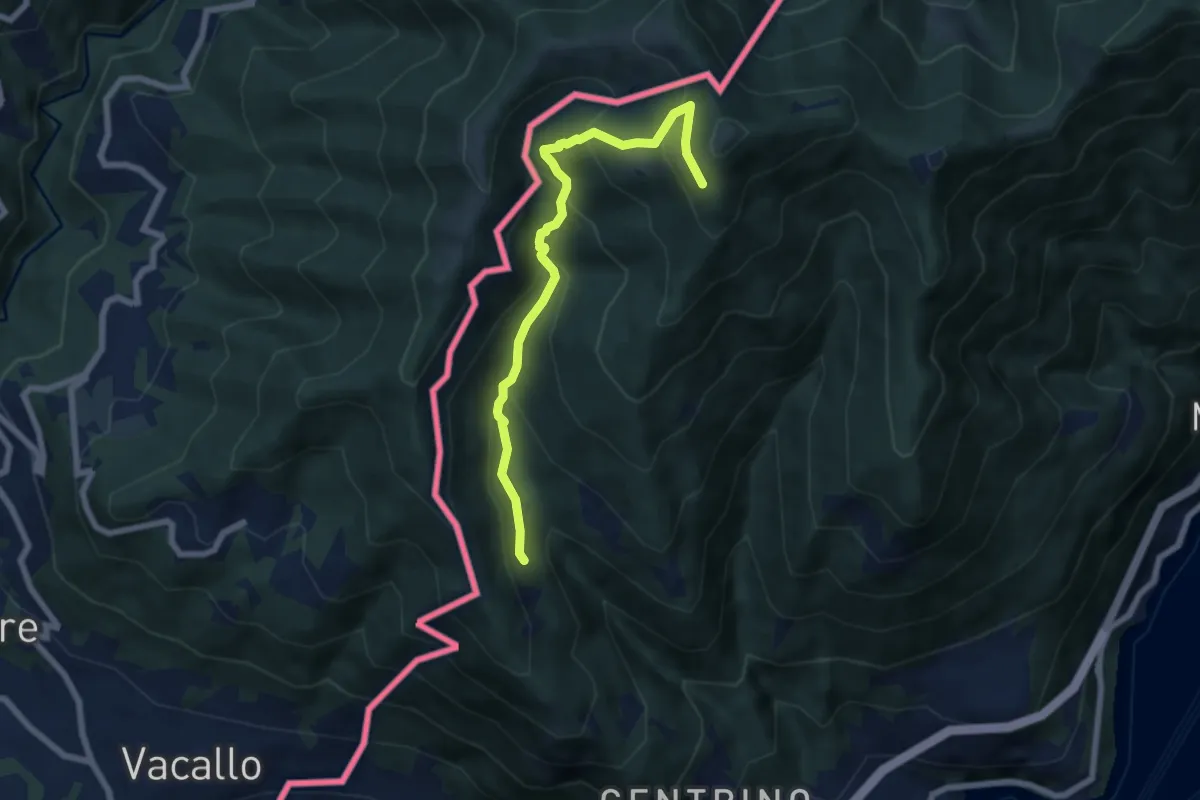
Medium · Trail
Como (Monte Olimpino) – Rifugio Prabello
6.7 km · ↑ 510 m · 2 h 42 min · 10 km away
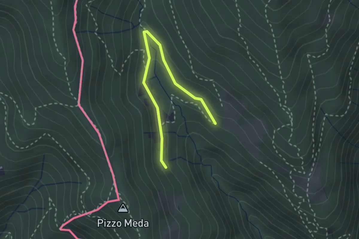
Easy · Trail
Cernobbio-Monte Bisbino
2.5 km · ↑ 103 m · 49 min · 10 km away
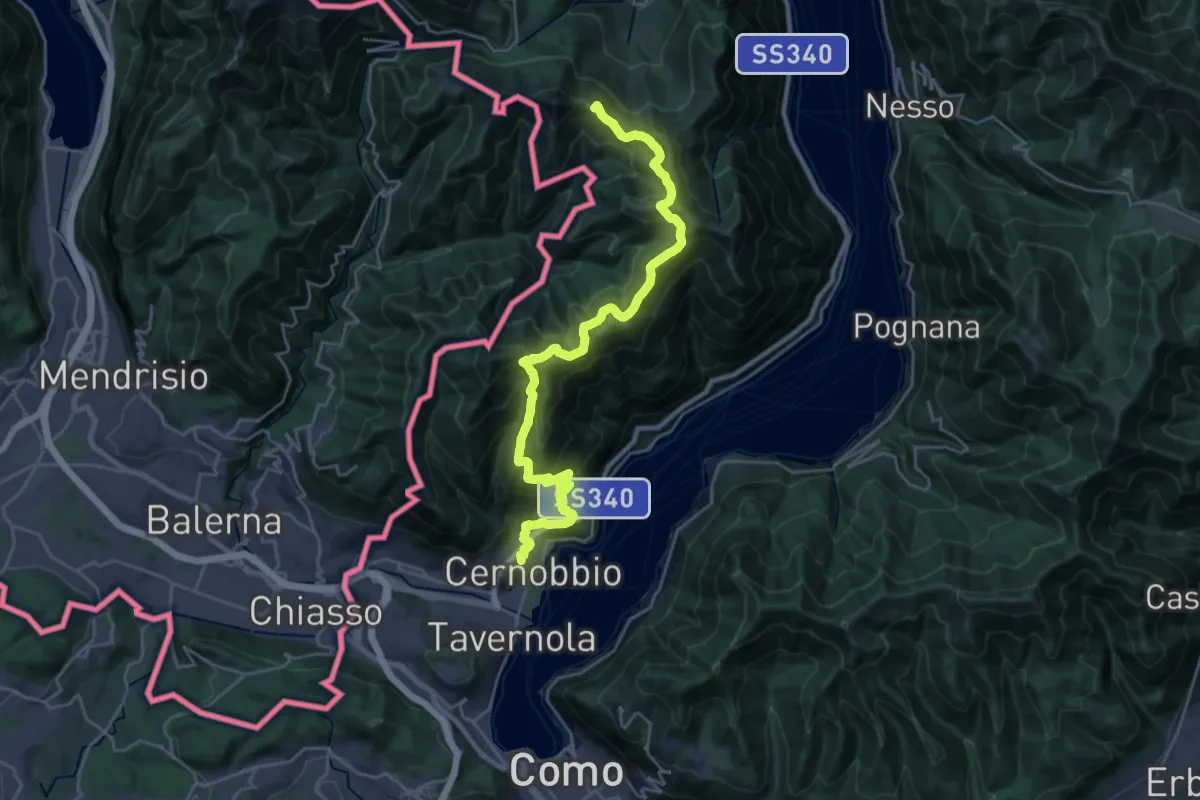
Demanding · Summit
Cernobbio – San Fedele Intelvi
27.1 km · ↑ 1649 m · 9 h 58 min · 10 km away
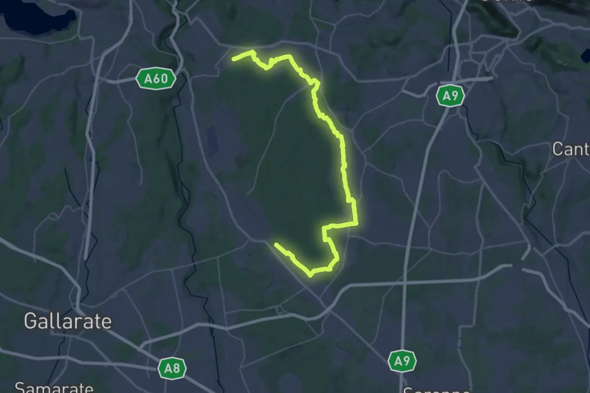
Demanding · Trail
Sentiero 840 LP
23.0 km · ↑ 244 m · 6 h 15 min · 10 km away
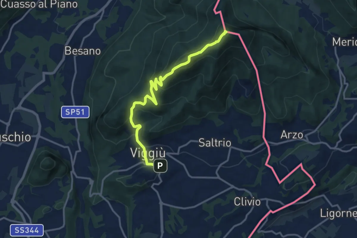
Medium · Summit
Viggiu' – Monte Pravello
9.9 km · ↑ 605 m · 3 h 39 min · 10 km away
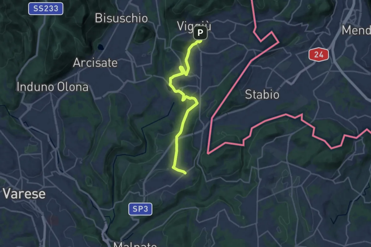
Medium · Trail
Viggiù – Cantello (Ligurno)
15.8 km · ↑ 332 m · 4 h 27 min · 10 km away
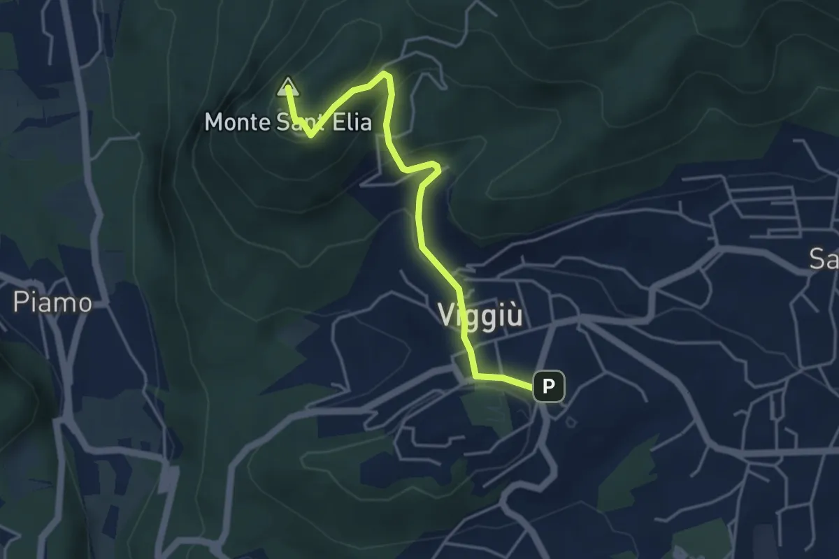
Medium · Summit
Viggiu' – Colle Sant'Elia
4.1 km · ↑ 180 m · 1 h 21 min · 10 km away
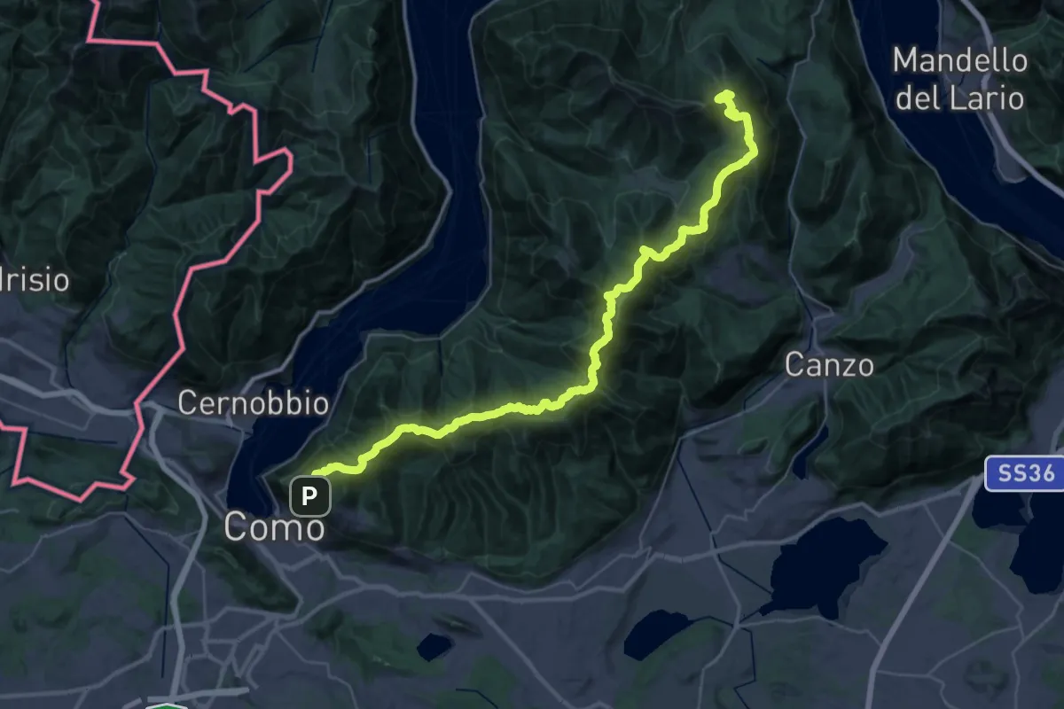
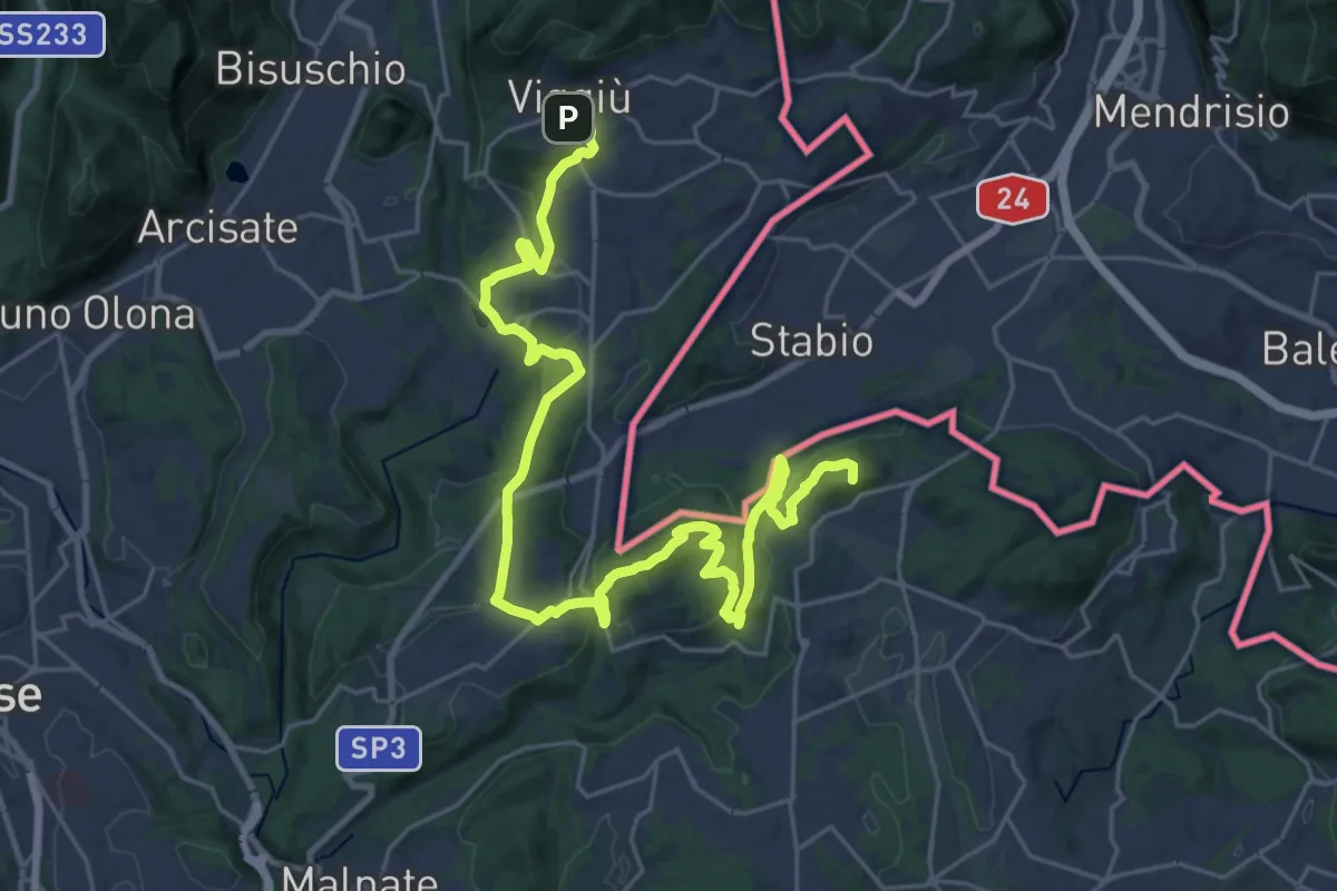
Demanding · Summit
Dorsale del Triangolo Lariano
44.3 km · ↑ 2300 m · 15 h 26 min · 11 km away
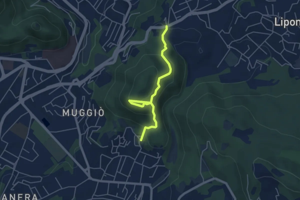
Demanding · Summit
Viggiù (Piazza Europa) – Bizzarone
32.7 km · ↑ 911 m · 9 h 42 min · 11 km away
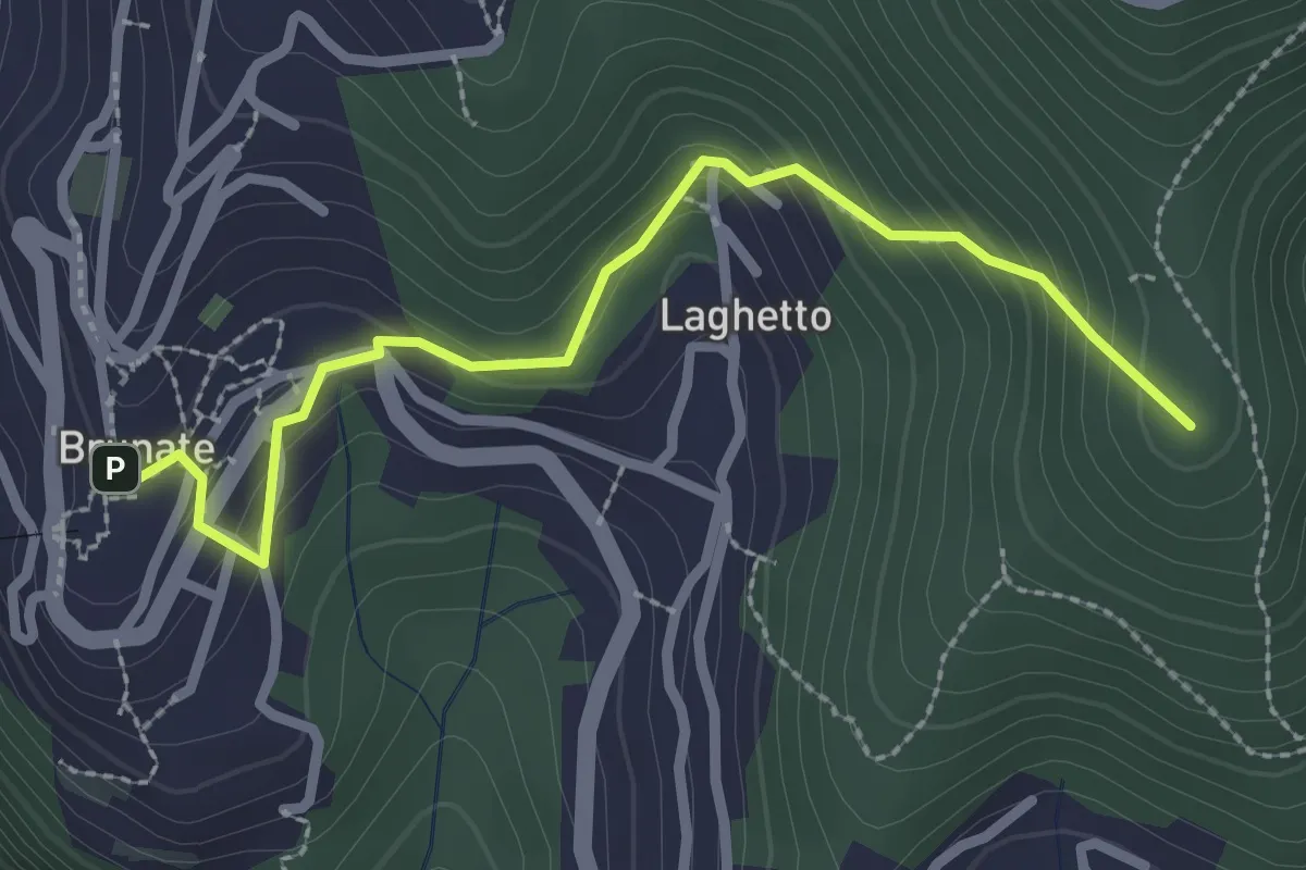
Easy · Trail
Sentiero del Monte Goj
4.1 km · ↑ 268 m · 1 h 33 min · 11 km away
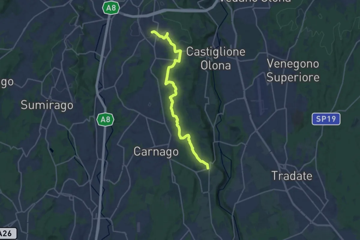
Medium · Summit
Brunate – CAO
2.7 km · ↑ 210 m · 1 h 5 min · 11 km away
Medium · Trail
Sentiero del Tenore
16.7 km · ↑ 149 m · 4 h 16 min · 11 km away
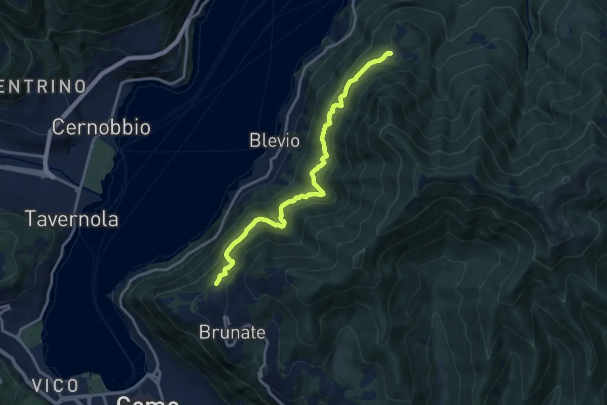
Medium · Trail
Brunate-Montepiatto
9.1 km · ↑ 788 m · 3 h 51 min · 11 km away
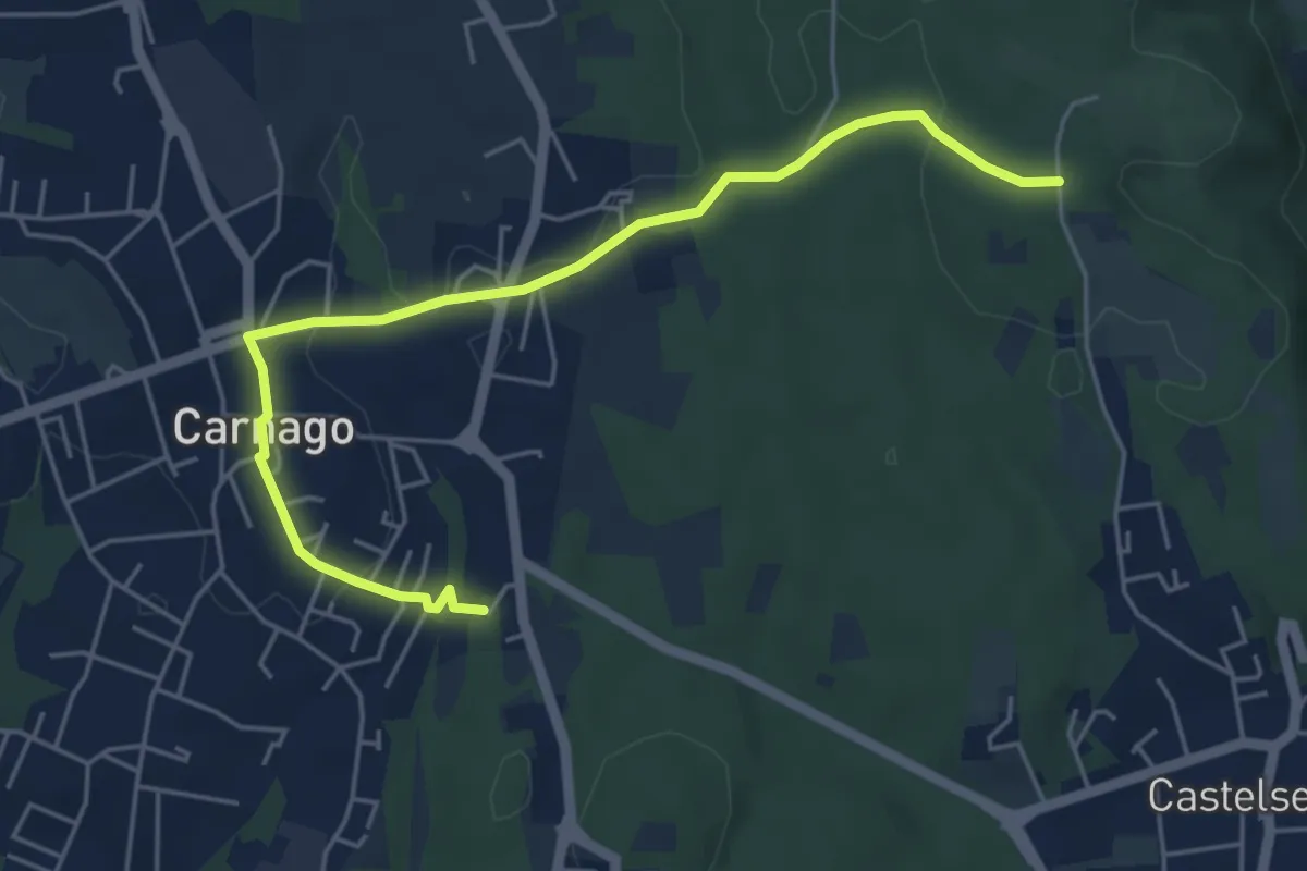
Easy · Trail
520E Collegamento Carnago
5.6 km · ↑ 67 m · 1 h 28 min · 11 km away
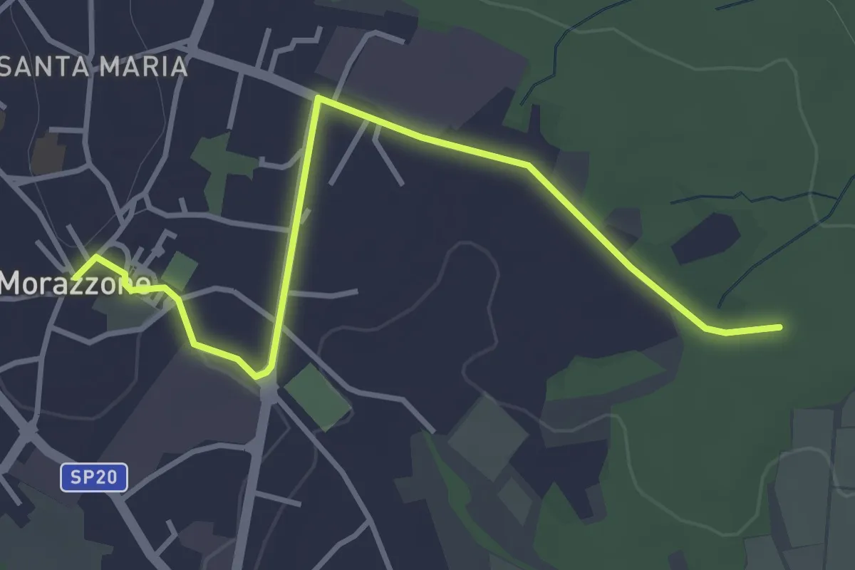
Easy · Trail
520C Collegmaento Morazzone-Dorsale RTO
3.8 km · ↑ 31 m · 58 min · 11 km away
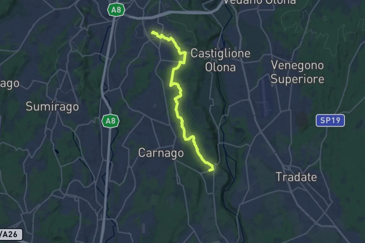
Medium · Trail
522 Sentiero del Tenore
17.2 km · ↑ 164 m · 4 h 25 min · 11 km away
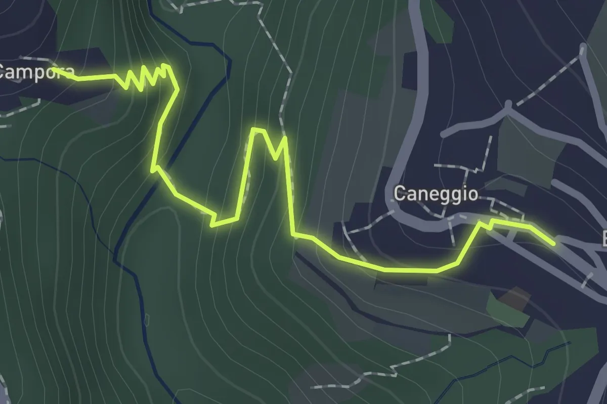
Easy · Trail
Caneggio – Cámpora
2.3 km · ↑ 161 m · 53 min · 11 km away
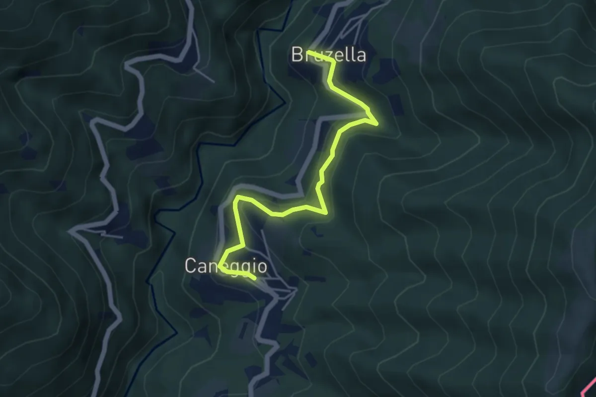
Easy · Trail
Caneggio – Bruzella
4.3 km · ↑ 249 m · 1 h 33 min · 11 km away
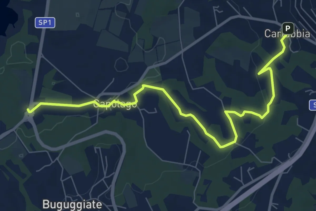
Easy · Trail
Cartabbia – Lago di Varese
7.8 km · ↑ 93 m · 2 h 3 min · 11 km away
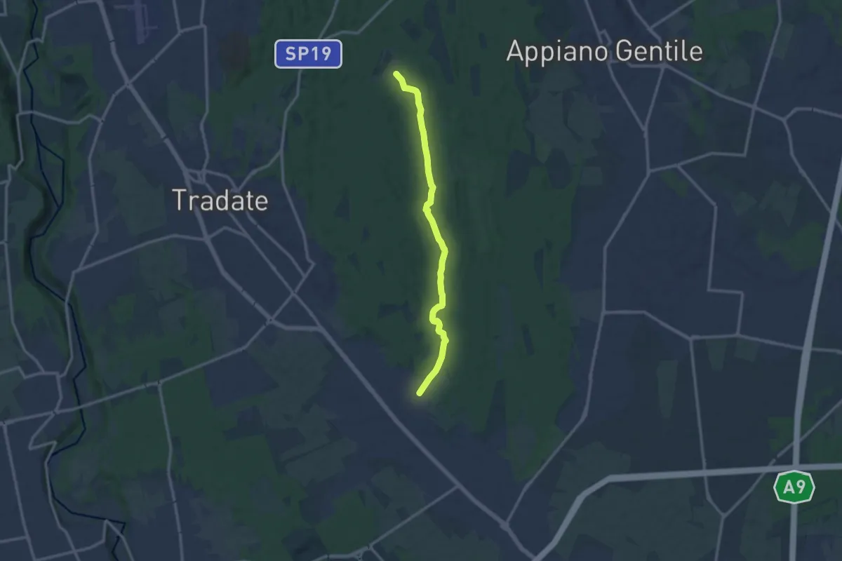
Medium · Trail
Sentiero 845
11.0 km · ↑ 92 m · 2 h 47 min · 11 km away
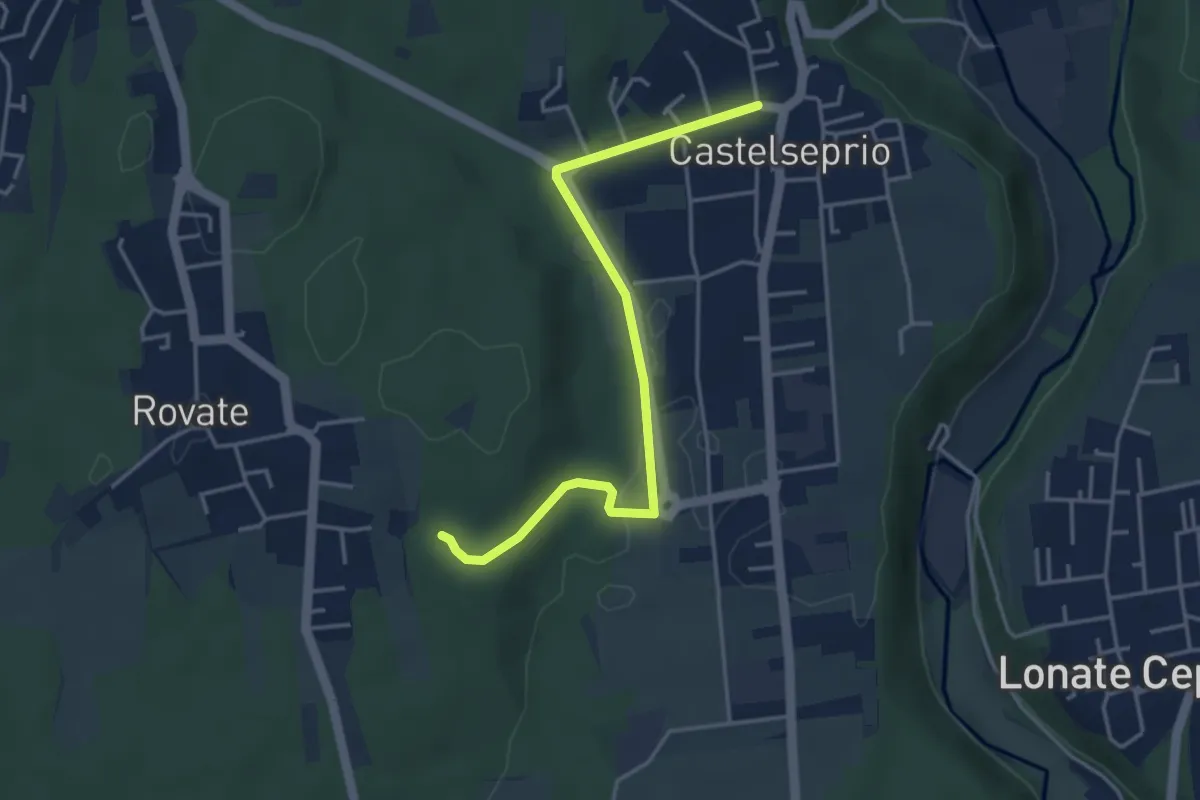
Easy · Trail
Collegamento Anello del Rile-Dorsale RTO
4.2 km · ↑ 47 m · 1 h 5 min · 11 km away
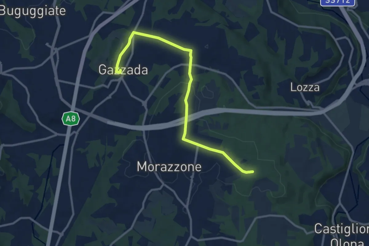
Medium · Trail
Morazzone – Dorsale RTO
8.4 km · ↑ 133 m · 2 h 16 min · 11 km away
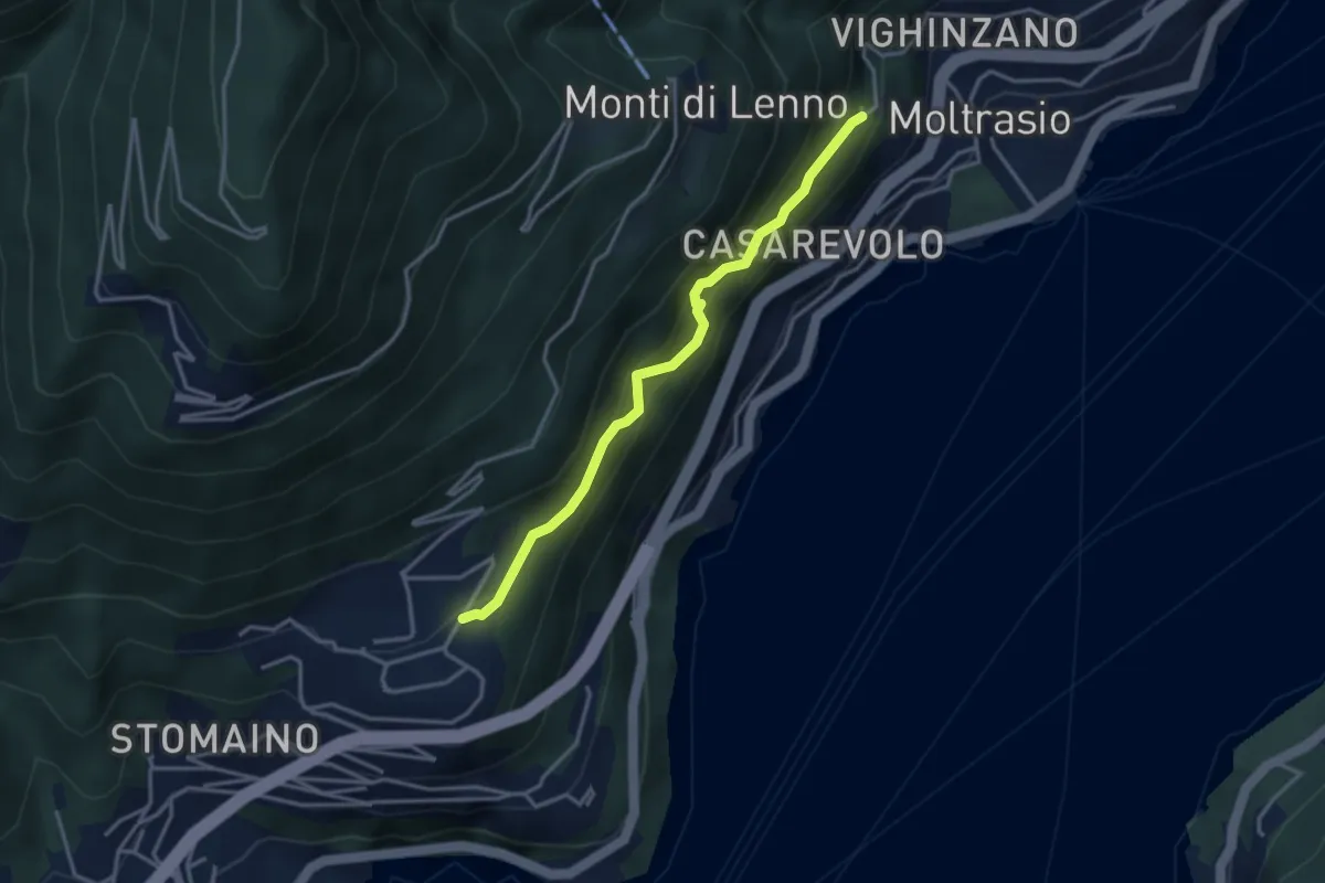
Medium · Trail
Sentee di Sort
3.3 km · ↑ 348 m · 1 h 32 min · 12 km away
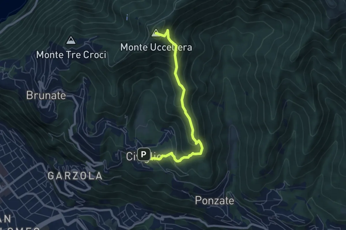
Medium · Summit
Civiglio – CAO
6.1 km · ↑ 379 m · 2 h 15 min · 12 km away
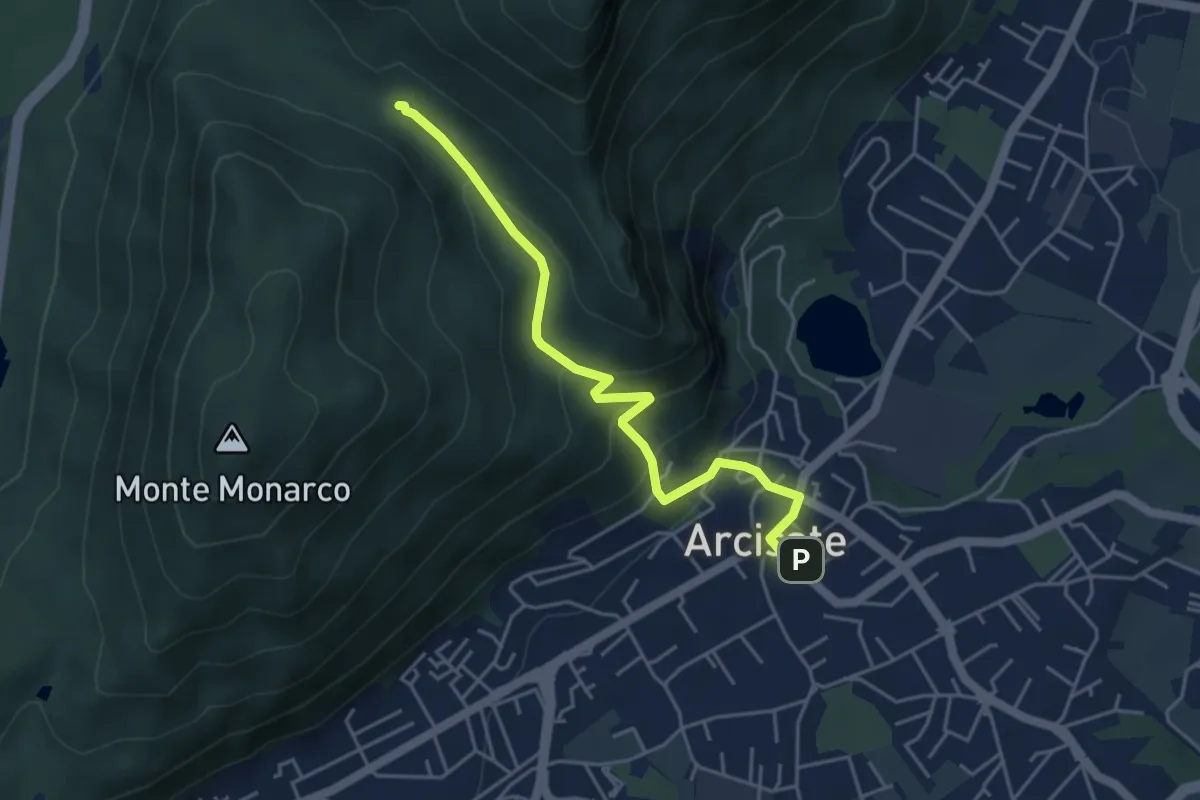
Easy · Trail
Arcisate – Passo del Vescovo
4.6 km · ↑ 243 m · 1 h 37 min · 12 km away
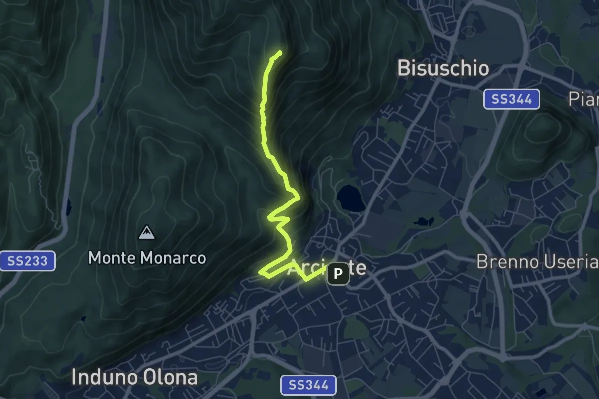
Demanding · Summit
Arcisate – Monte Rho
6.4 km · ↑ 543 m · 2 h 41 min · 12 km away
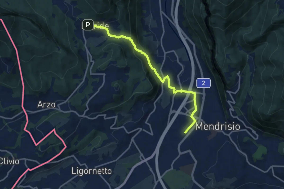
Medium · Trail
Meride – Mendrisio Stazione
8.9 km · ↑ 326 m · 2 h 48 min · 12 km away
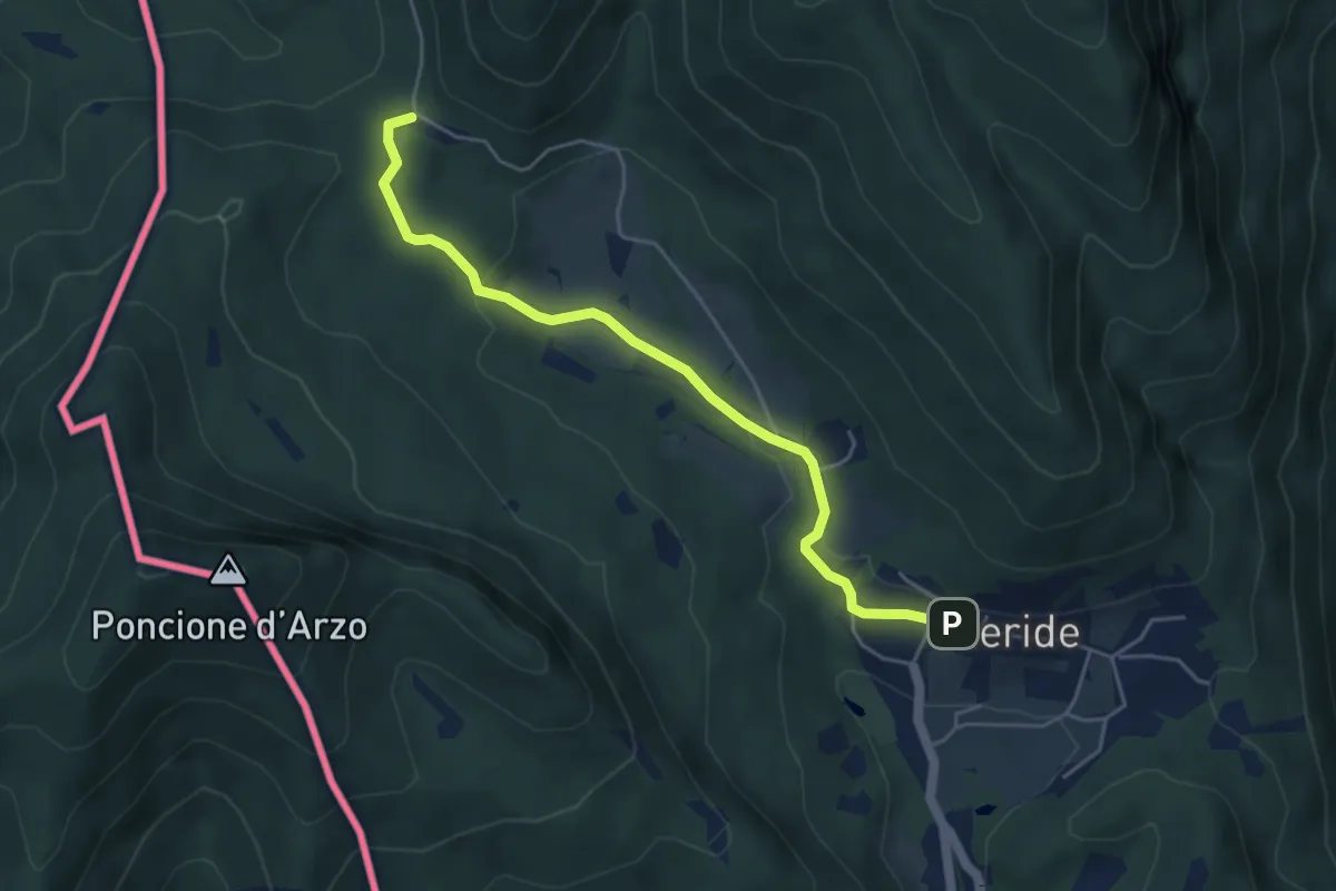
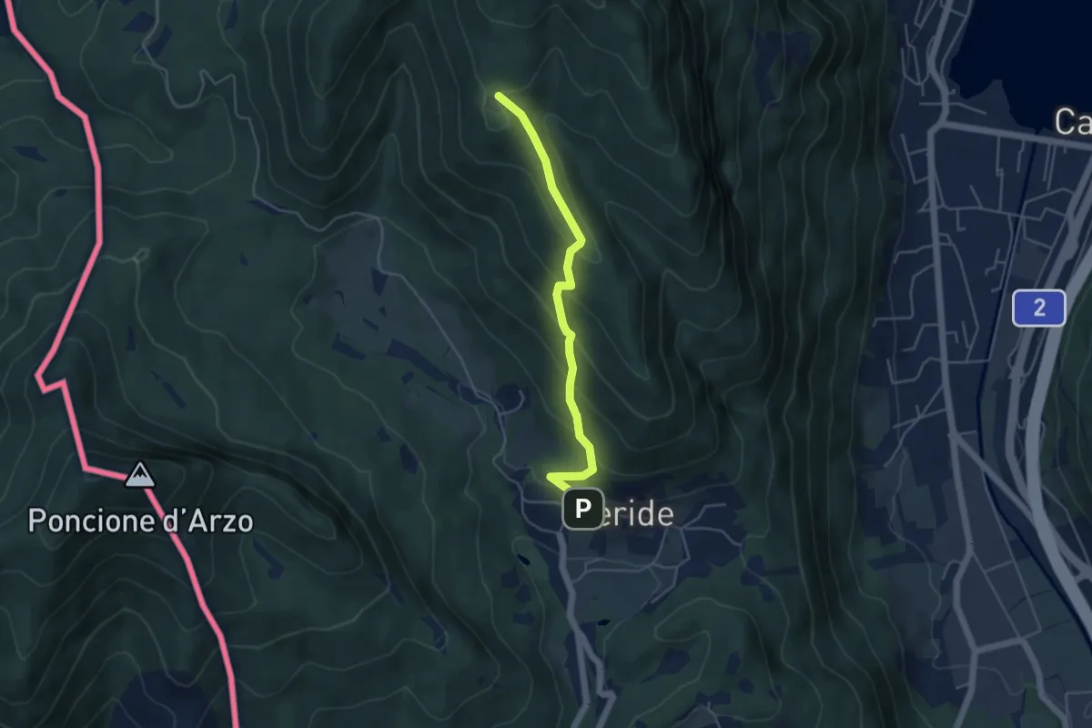
Easy · Trail
Crocifisso – Meride
4.8 km · ↑ 121 m · 1 h 23 min · 12 km away
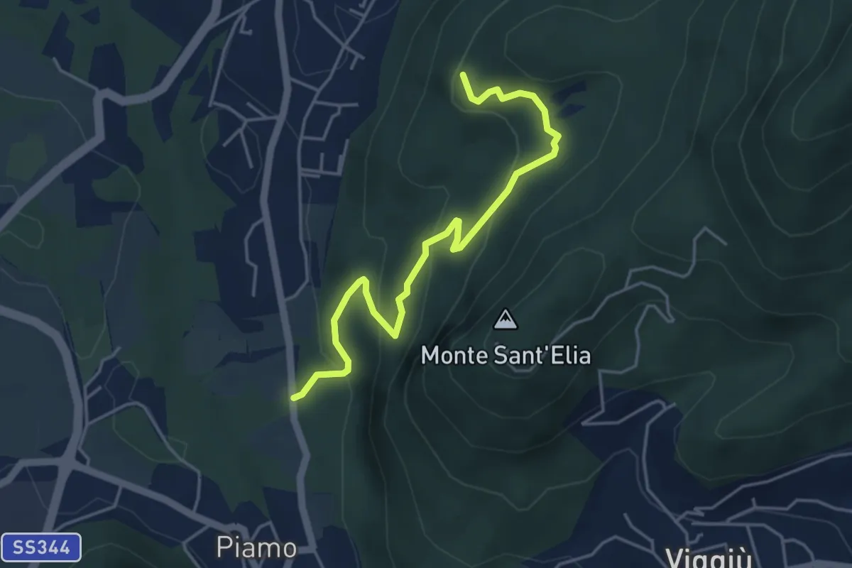
Easy · Trail
Meride – Cassina
4.6 km · ↑ 309 m · 1 h 45 min · 12 km away
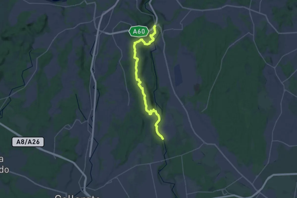
Medium · Summit
Variante Bernasca – Besano SP51
4.5 km · ↑ 236 m · 1 h 35 min · 12 km away
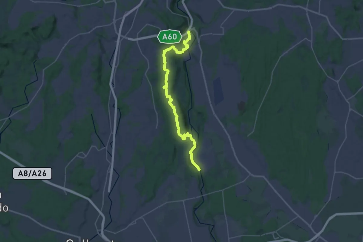
Demanding · Trail
520 Dorsale RTO
25.9 km · ↑ 425 m · 7 h 2 min · 12 km away
Demanding · Trail
Dorsale Rile-Tenore-Olona
26.4 km · ↑ 426 m · 7 h 9 min · 12 km away
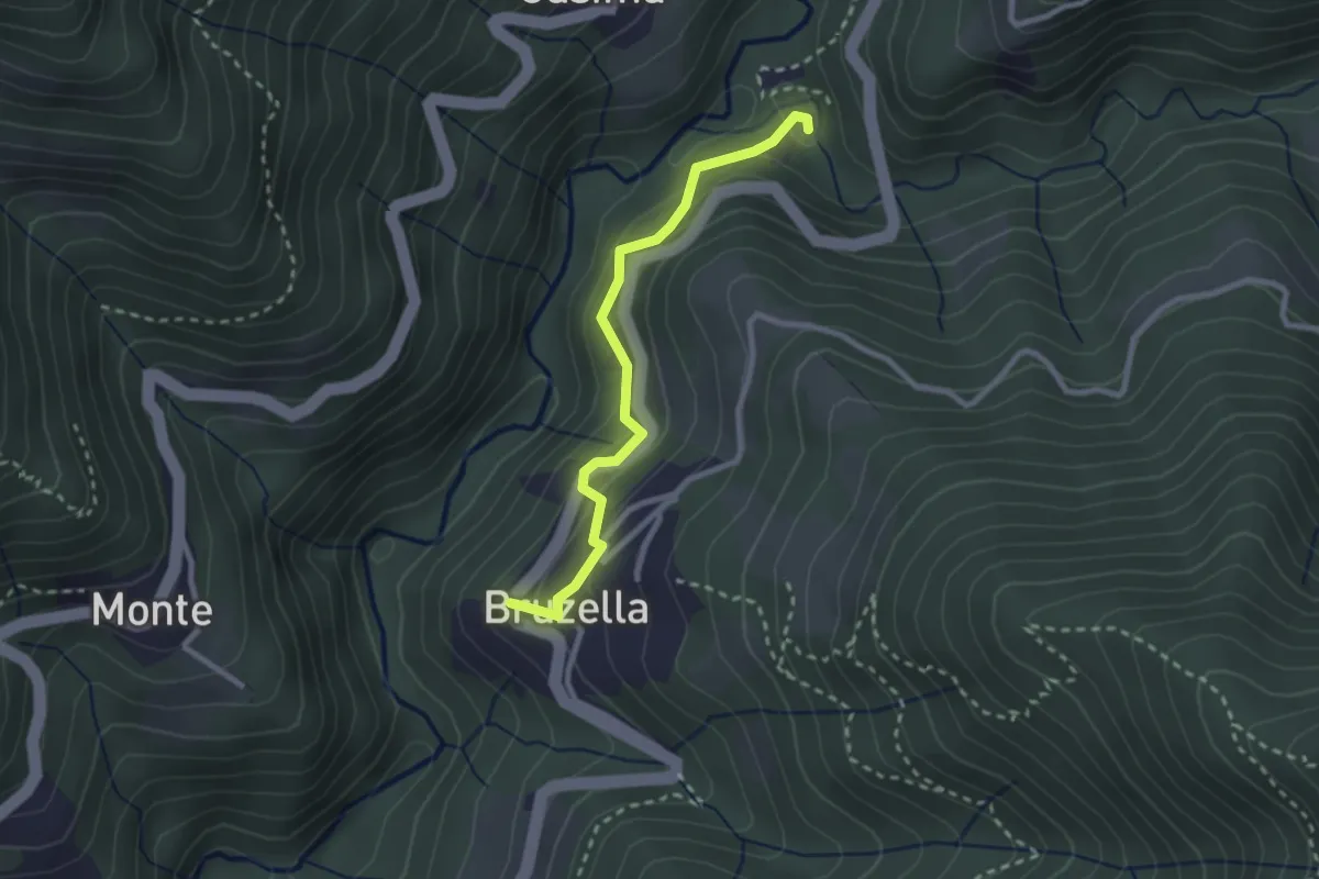
Easy · Trail
Mulino di Bruzella – Bruzella
2.5 km · ↑ 204 m · 1 h 2 min · 12 km away
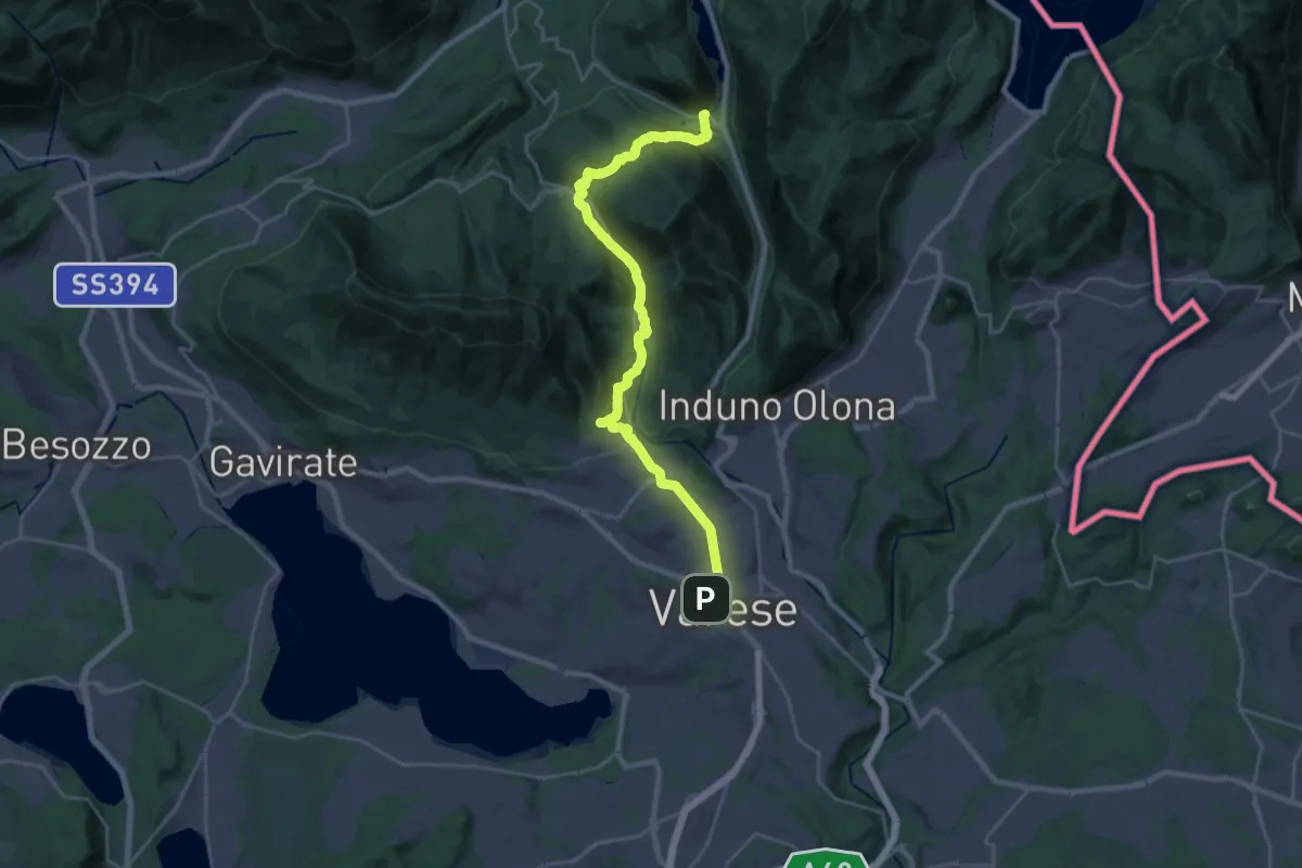
Demanding · Trail
Via Francisca del Lucomagno: Tappa 2
14.7 km · ↑ 465 m · 4 h 38 min · 12 km away
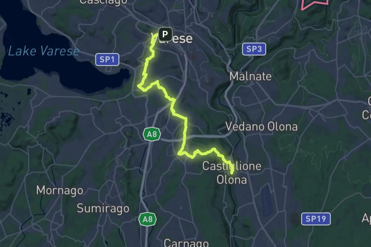
Medium · Trail
Via Francisca del Lucomagno: Tappa 3
14.5 km · ↑ 239 m · 4 h 11 min · 12 km away
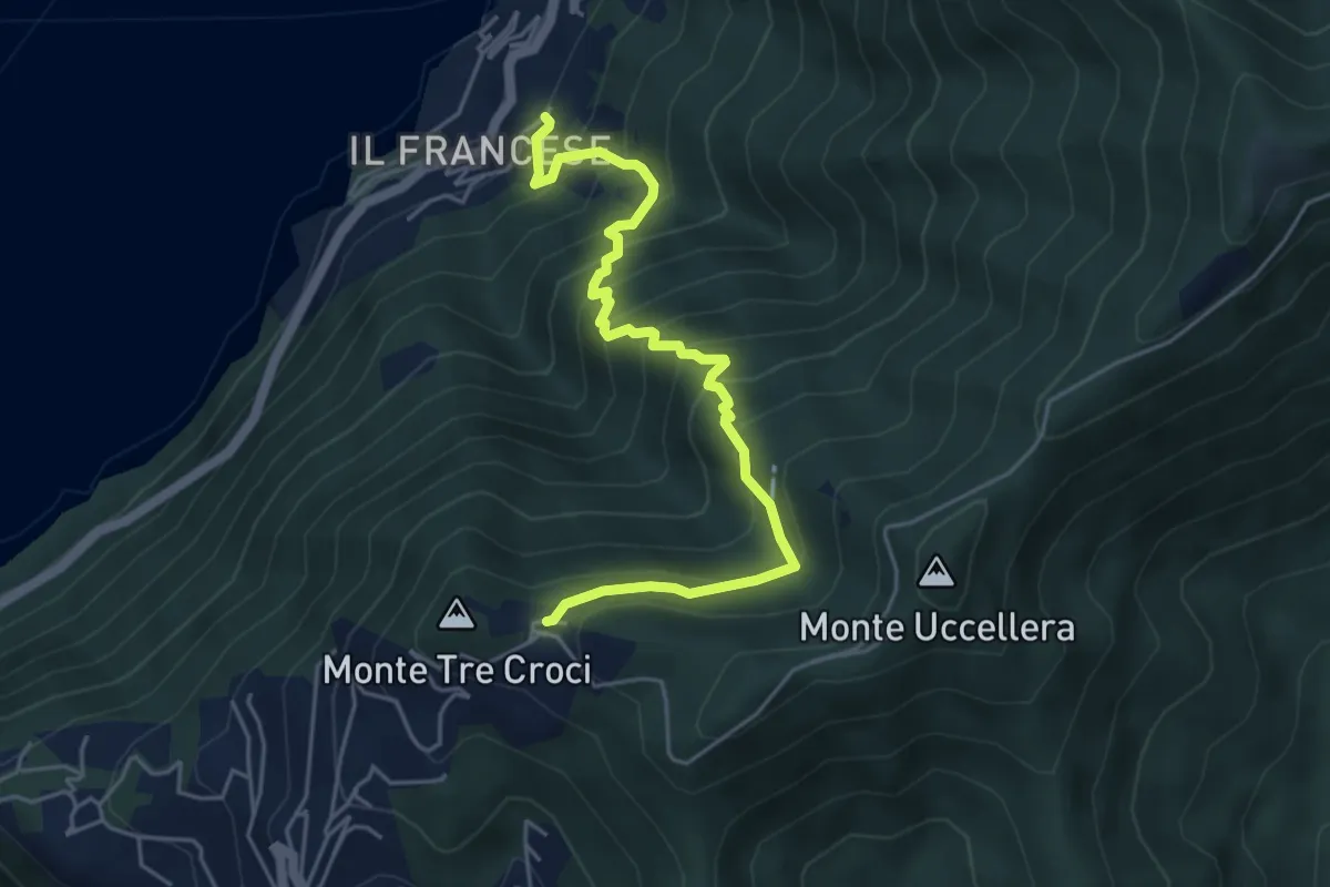
Medium · Trail
Sopravilla (Blevio) – San Maurizio
5.2 km · ↑ 612 m · 2 h 34 min · 12 km away