Trails near Olgiate Comasco
167 hikes starting within 15 km, nearest first.
Nearest first, page 3 of 4
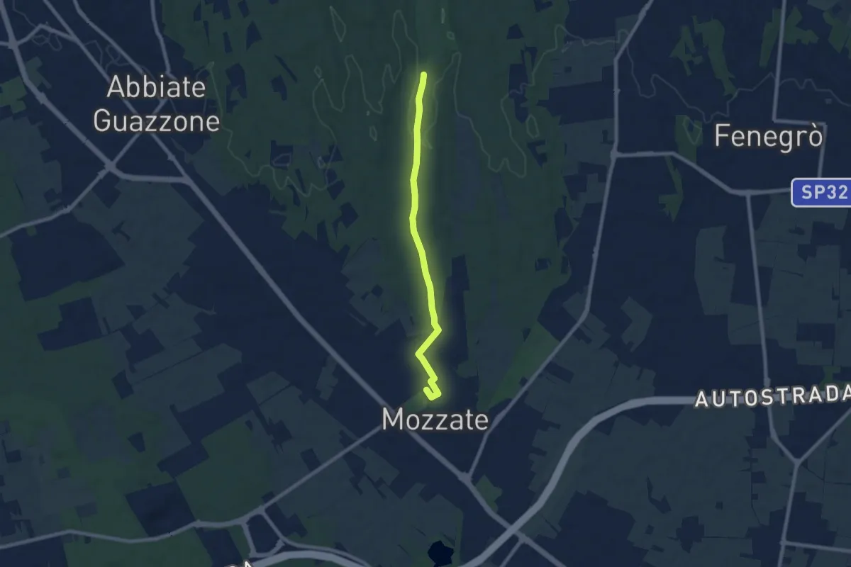
Easy · Trail
Sentiero 844B
7.1 km · ↑ 43 m · 1 h 47 min · 12 km away
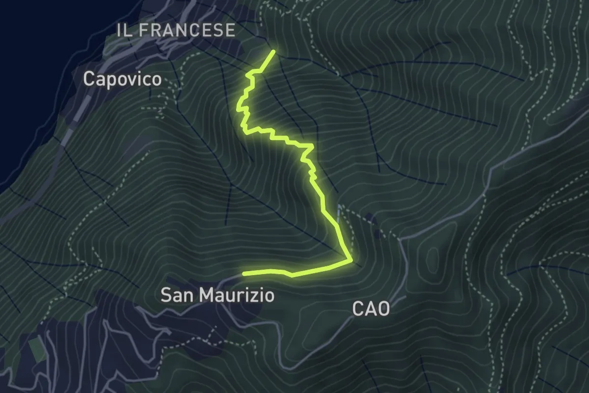
Medium · Trail
Sentiero del Barch (Sopravilla di Blevio-Cascina Barch-San Maurizio)
3.8 km · ↑ 445 m · 1 h 52 min · 12 km away
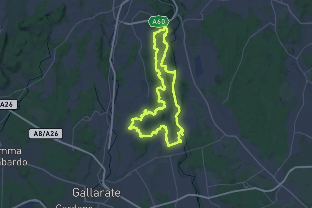
Demanding · Trail
Grandtour RTO
30.8 km · ↑ 344 m · 8 h 28 min · 12 km away
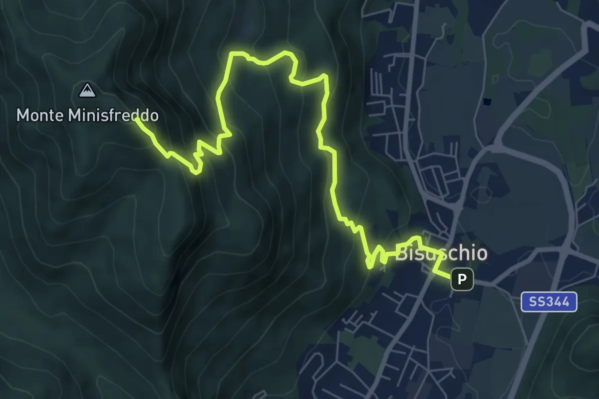
Demanding · Summit
Bisuschio – M. San Bernardo
8.2 km · ↑ 674 m · 3 h 23 min · 12 km away
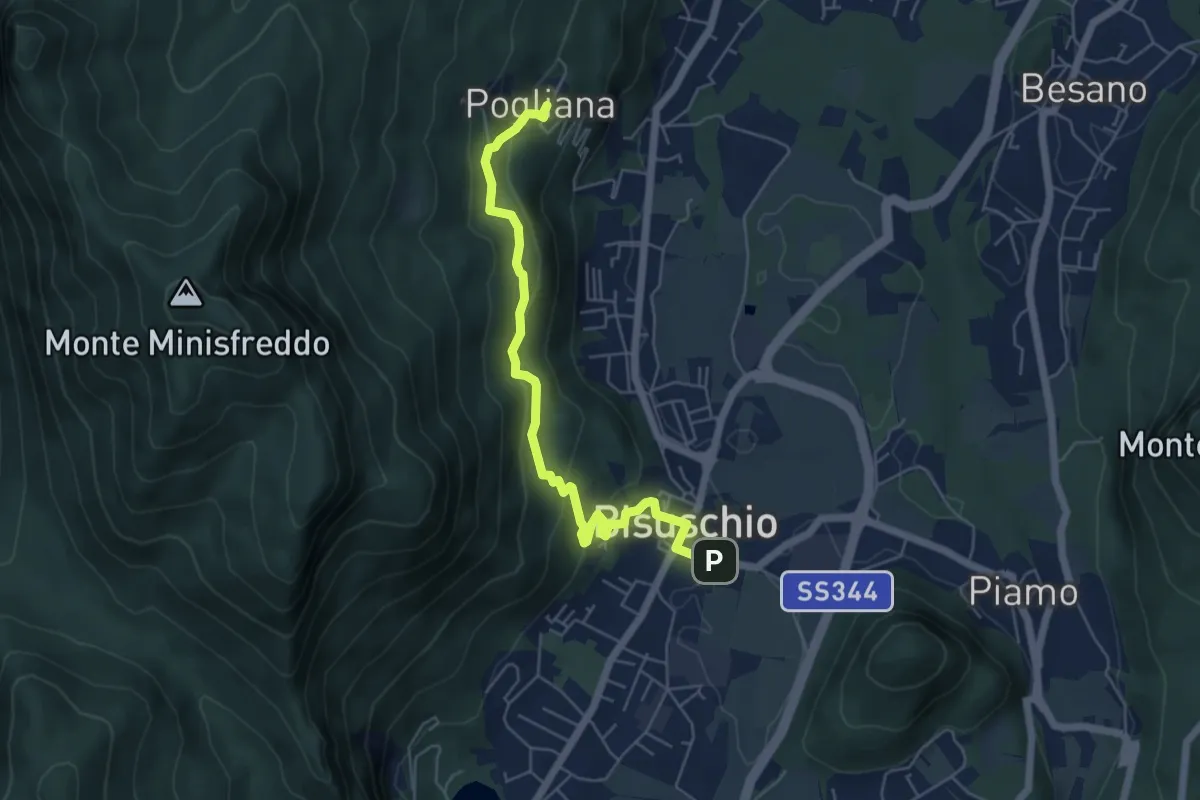
Demanding · Trail
Bisuschio – Pogliana
5.8 km · ↑ 276 m · 1 h 58 min · 12 km away
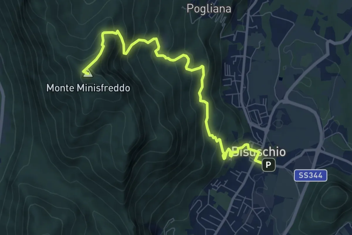
Demanding · Summit
Bisuschio – M.Minisfreddo
8.7 km · ↑ 711 m · 3 h 35 min · 12 km away
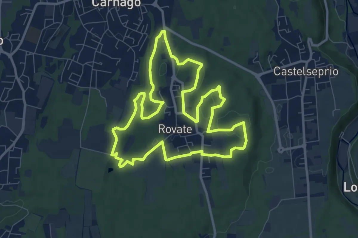
Easy · Trail
523 Anello del Rile
7.9 km · ↑ 100 m · 2 h 12 min · 12 km away
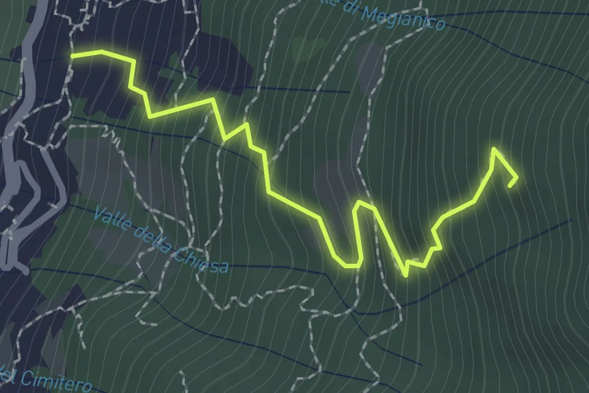
Medium · Trail
Mezzovico (Blevio) – Prea Nairöla
2.2 km · ↑ 395 m · 1 h 23 min · 12 km away
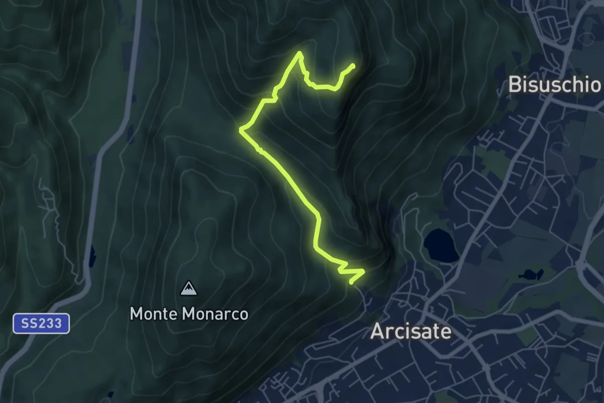
Medium · Summit
Arcisate - Monte Rho d'Arcisate
5.7 km · ↑ 441 m · 2 h 17 min · 12 km away
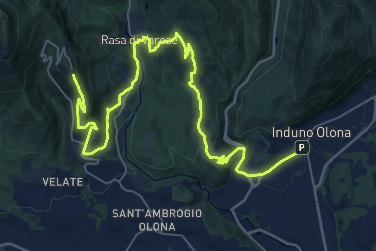
Demanding · Trail
Via Verde Varesina tappa 2
20.7 km · ↑ 902 m · 6 h 50 min · 12 km away
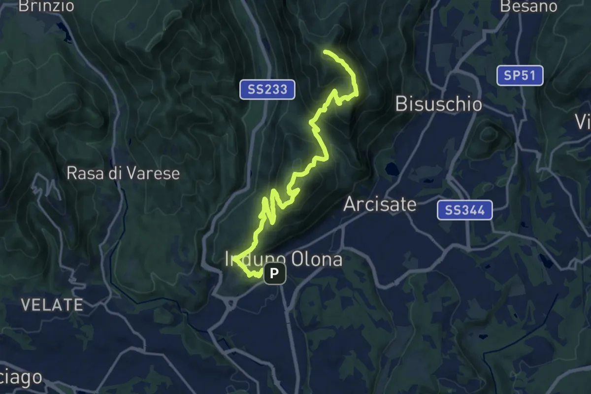
Demanding · Summit
Porto Ceresio – Induno Olona
16.4 km · ↑ 1108 m · 6 h 16 min · 12 km away
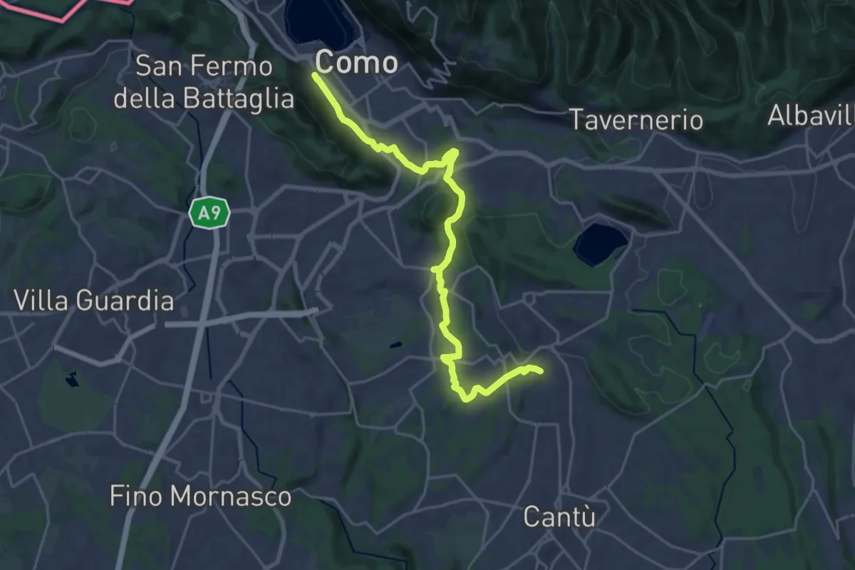
Demanding · Trail
Sentiero Pedemonte - Tappa 1
21.5 km · ↑ 414 m · 5 h 59 min · 12 km away
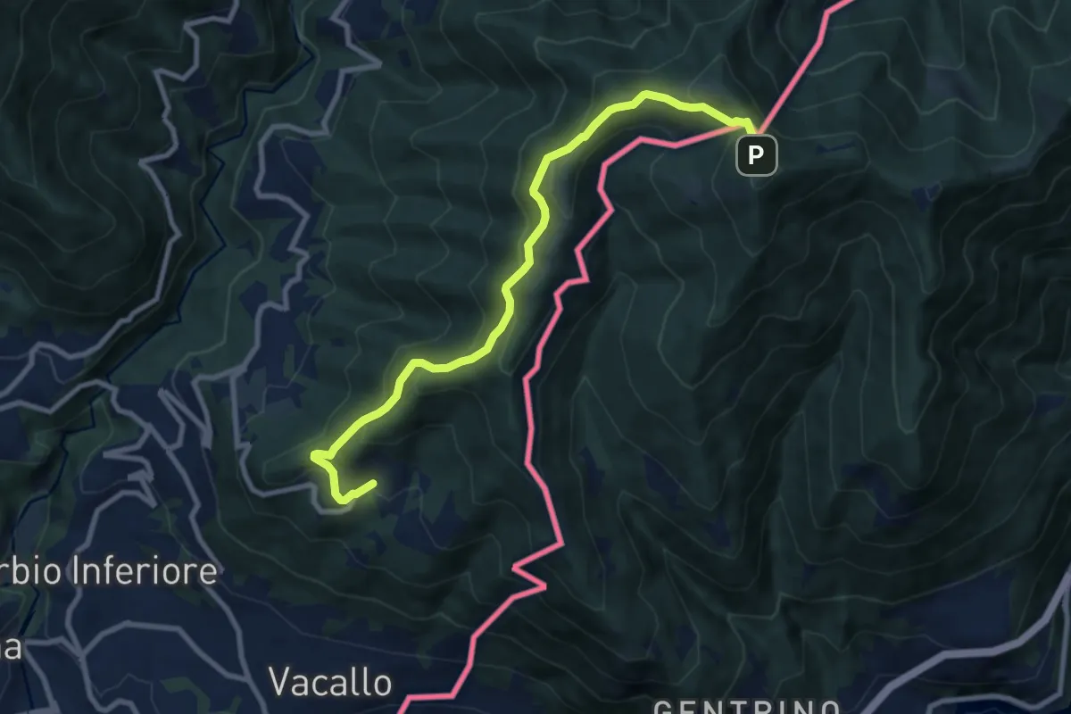
Medium · Trail
Sagno – Monte Bisbino
9.2 km · ↑ 665 m · 3 h 37 min · 13 km away
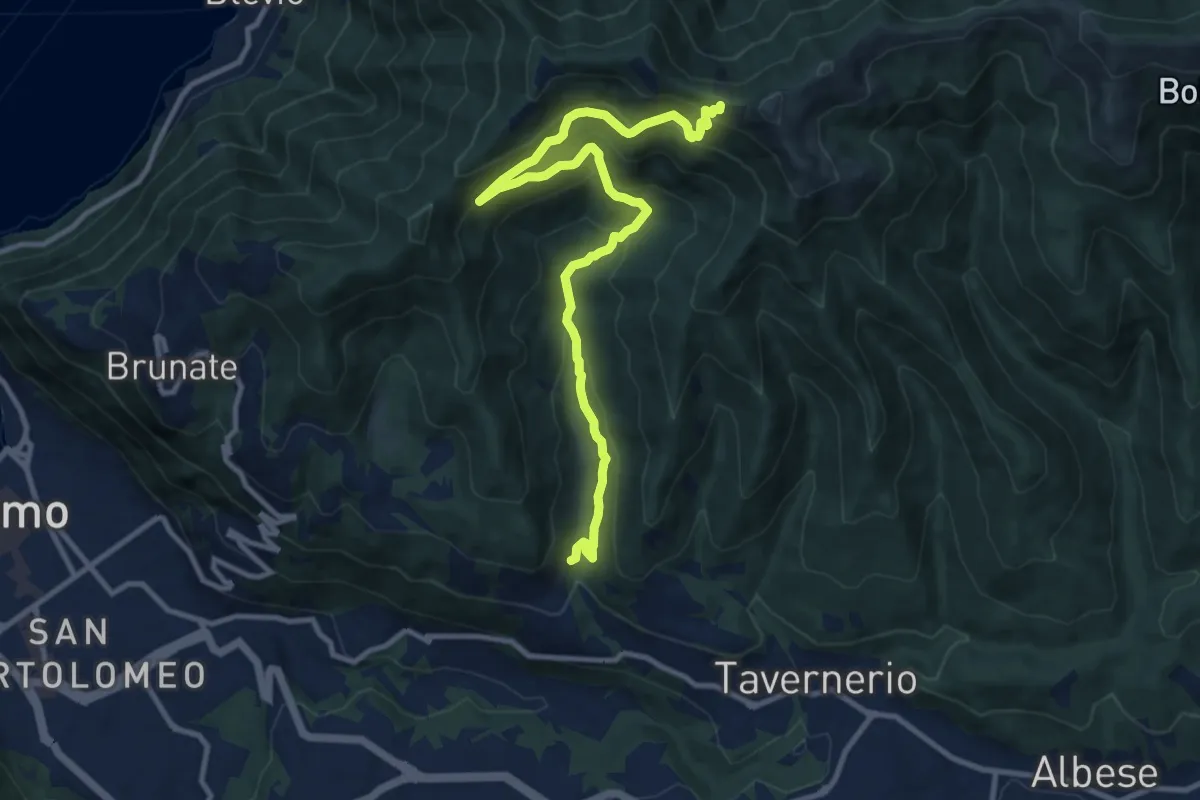
Medium · Trail
Ponzate – Baita Fabrizio
12.4 km · ↑ 721 m · 4 h 29 min · 13 km away
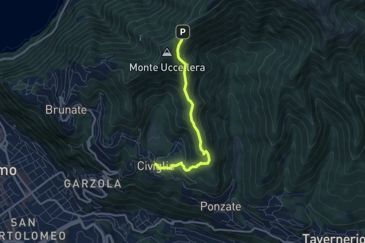
Medium · Trail
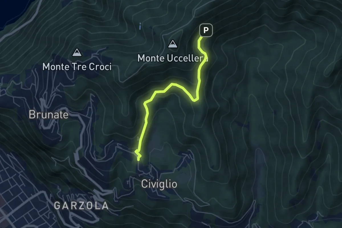
Civiglio – Baita Carla
6.2 km · ↑ 367 m · 2 h 16 min · 13 km away
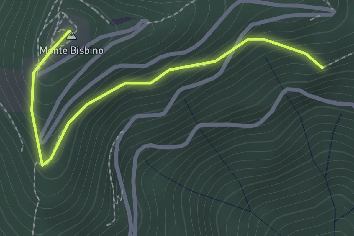
Expert · Summit
Alpe Piella – Ca' Bossi
2.1 km · ↑ 203 m · 56 min · 13 km away
Medium · Trail
Visigna – Strada del Boscone
4.9 km · ↑ 275 m · 1 h 46 min · 13 km away
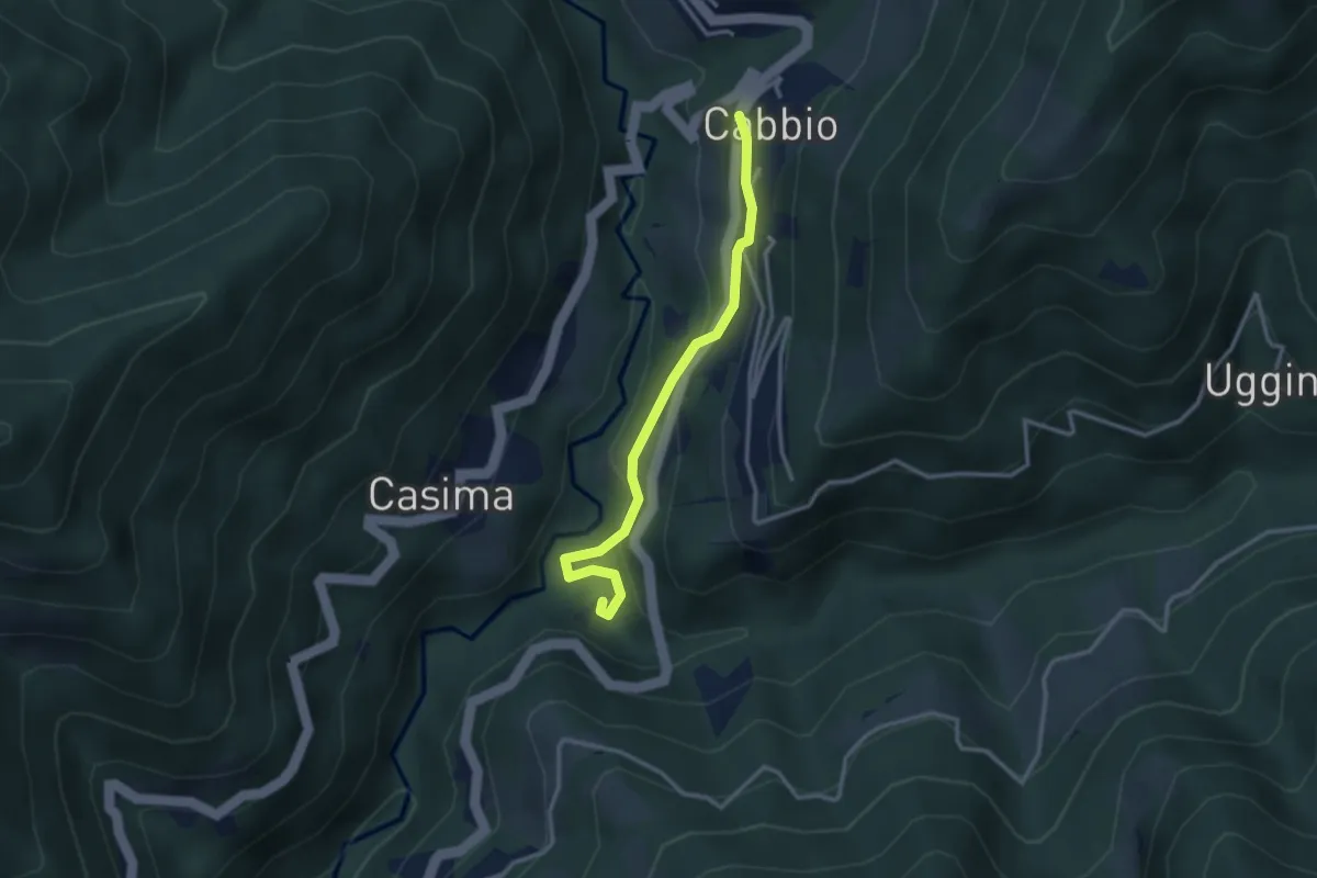
Easy · Trail
Cabbio – Mulino di Bruzella
2.9 km · ↑ 161 m · 1 h 2 min · 13 km away
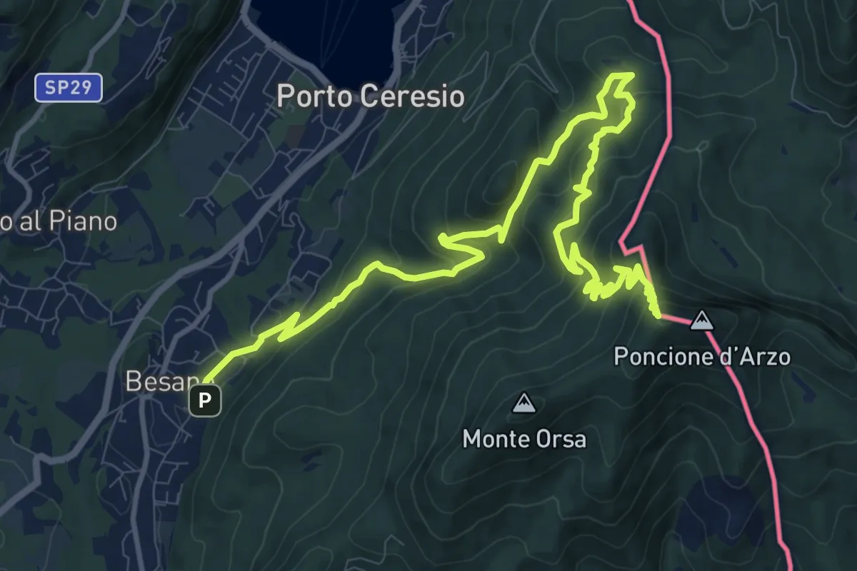
Demanding · Summit
Besano – Monte Pravello
15.0 km · ↑ 1031 m · 5 h 46 min · 13 km away
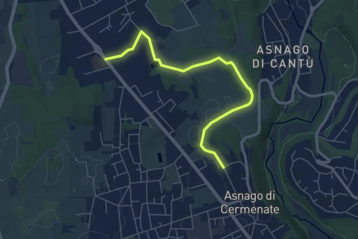
Easy · Trail
Cermenate – Minoprio
5.7 km · ↑ 27 m · 1 h 24 min · 13 km away
Medium · Summit
Besano – Monte Pravello
4.1 km · ↑ 402 m · 1 h 50 min · 13 km away
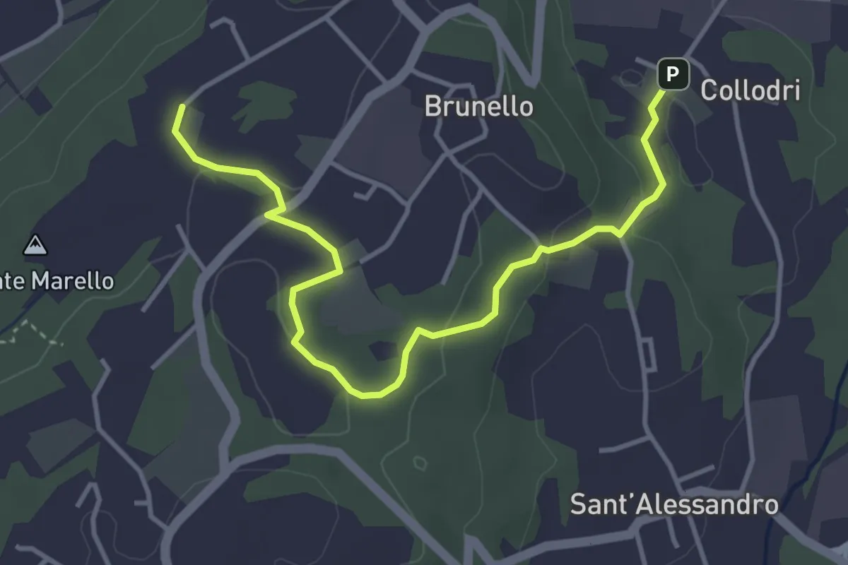
Easy · Trail
Piane Viscontee - Anello di Brunello
4.3 km · ↑ 111 m · 1 h 15 min · 13 km away
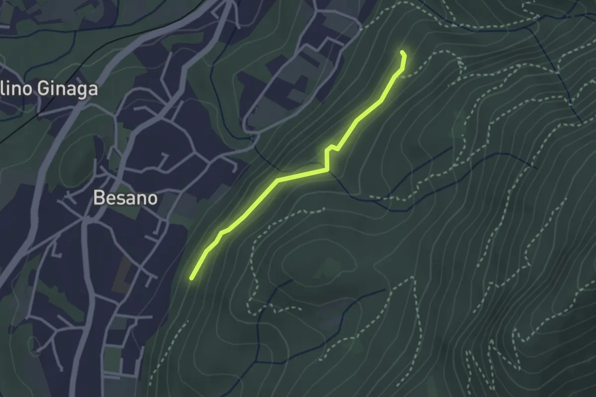
Easy · Trail
Bivio rocce cadenti – Intersezione con 461A
2.5 km · ↑ 116 m · 50 min · 13 km away
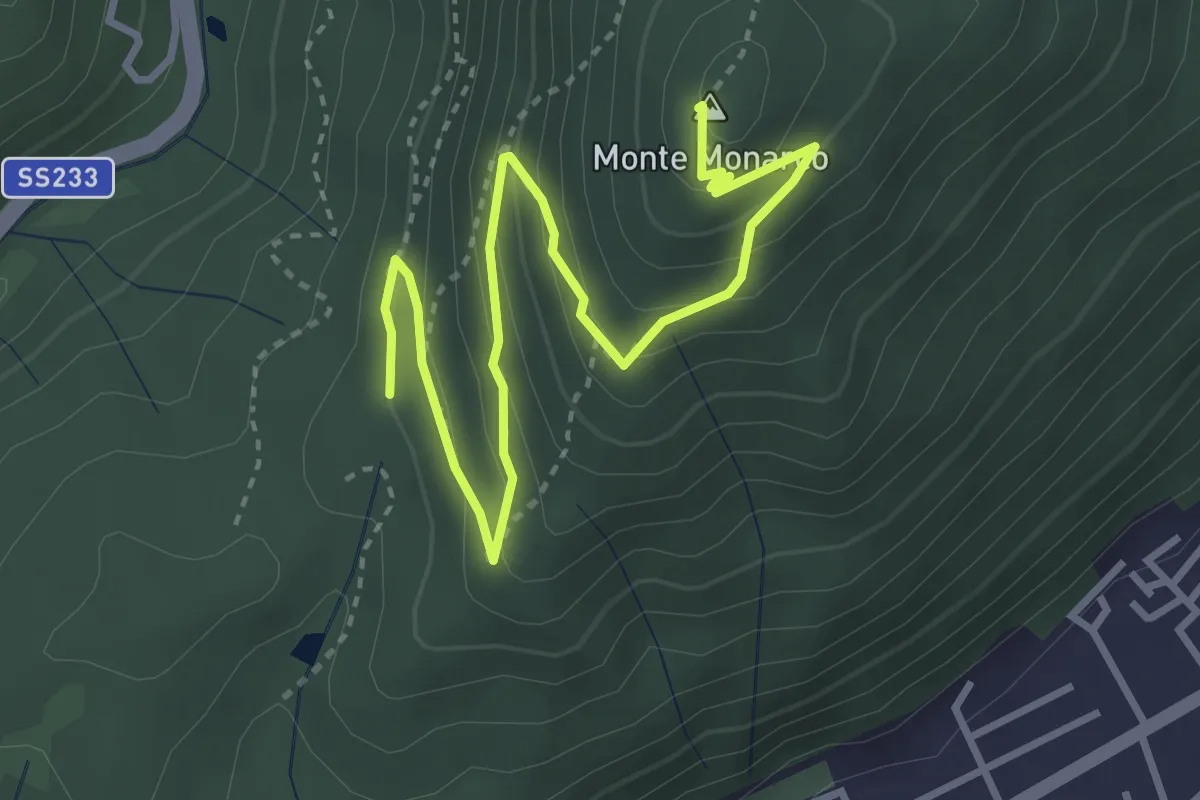
Medium · Summit
Induno Olona - Monte Monarco
4.3 km · ↑ 255 m · 1 h 34 min · 13 km away
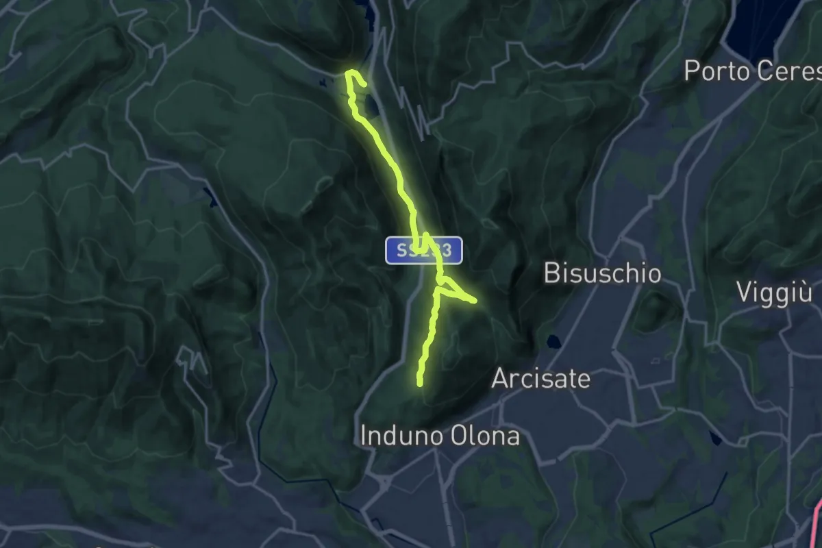
Medium · Trail
Ganna – Montallegro
14.8 km · ↑ 498 m · 4 h 34 min · 13 km away
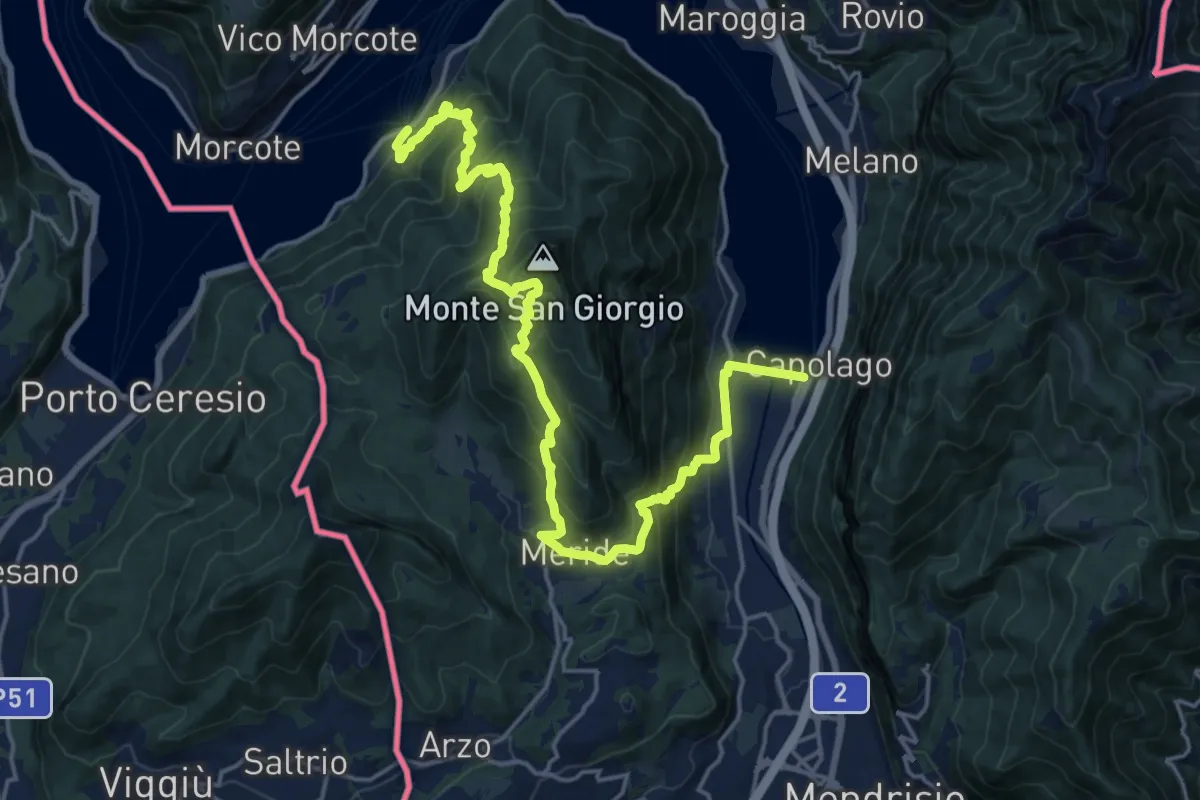
Demanding · Trail
Sentiero Lago di Lugano
11.1 km · ↑ 863 m · 4 h 38 min · 13 km away
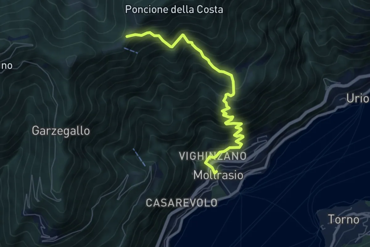
Demanding · Cabin
Moltrasio - Rifugio Bugone
7.1 km · ↑ 891 m · 3 h 36 min · 13 km away
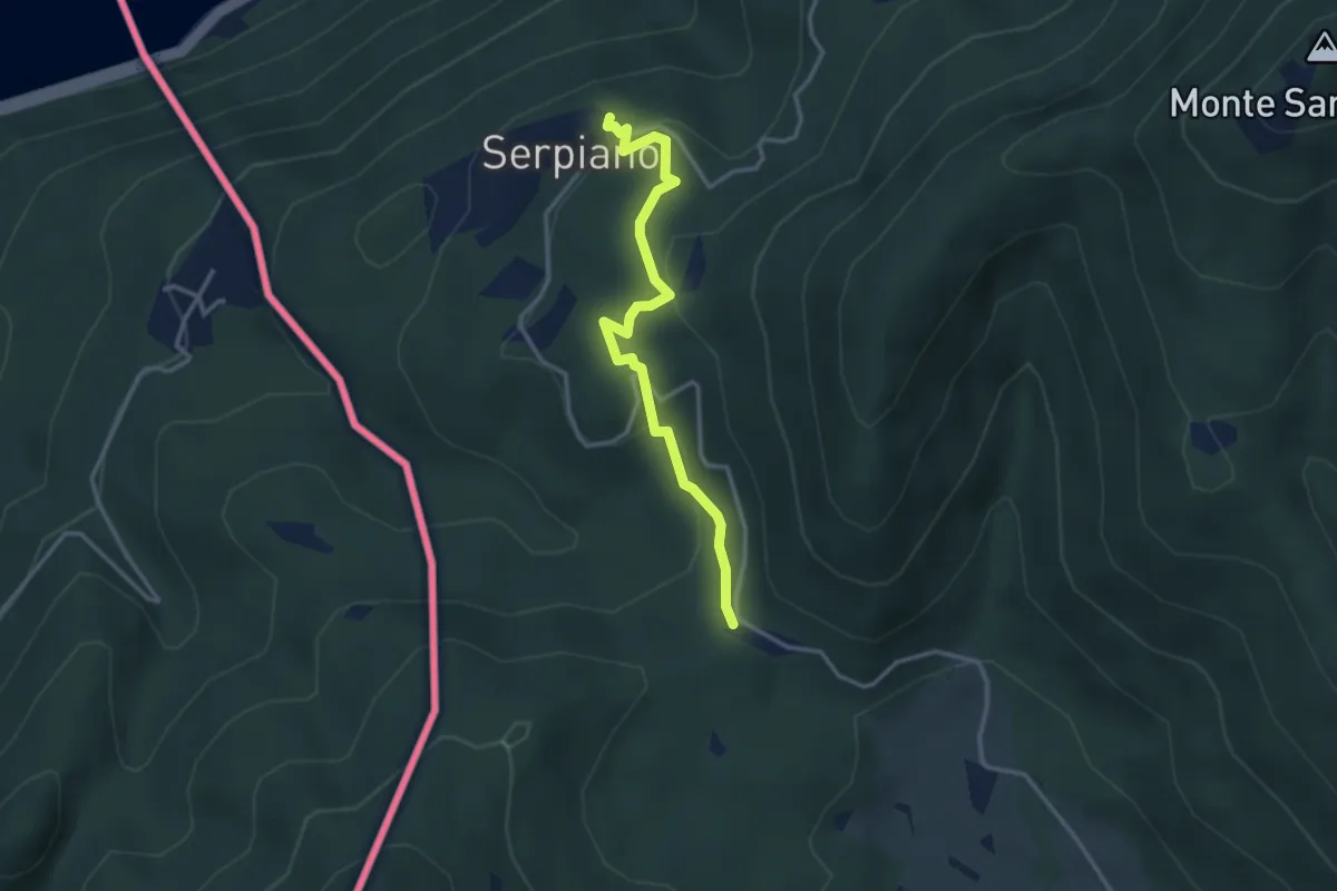
Medium · Trail
Crocifisso – Serpiano
3.2 km · ↑ 156 m · 1 h 6 min · 13 km away
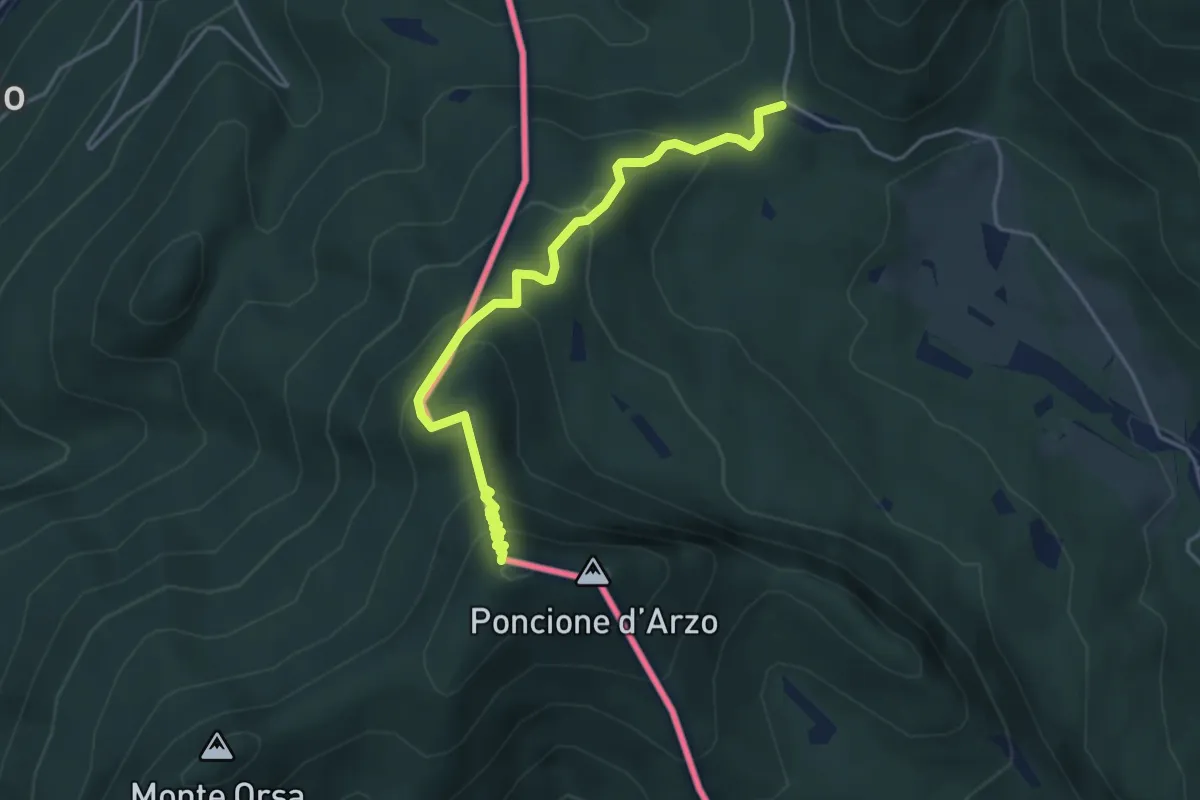
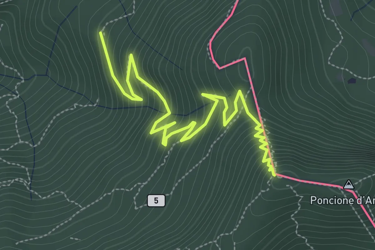
Medium · Summit
Crocifisso – Poncione d'Arzo
4.3 km · ↑ 320 m · 1 h 43 min · 13 km away
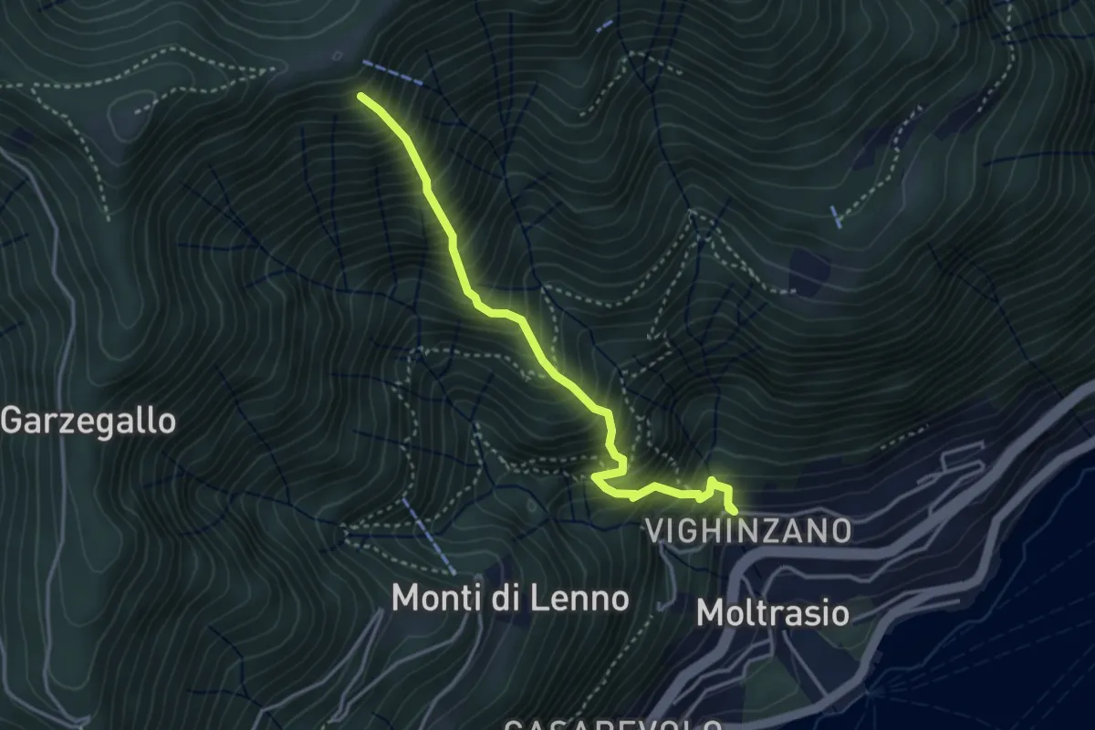
Medium · Trail
Sentee La Culman
3.5 km · ↑ 737 m · 2 h 25 min · 13 km away
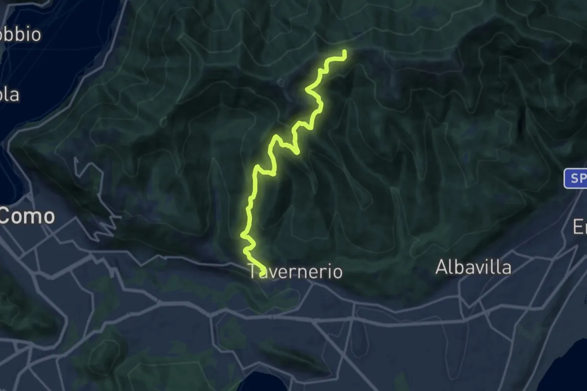
Demanding · Trail
Via Cesare Battisti (Solzago) – Incrocio Sentiero 300 V - Sentiero 363
14.2 km · ↑ 910 m · 5 h 20 min · 13 km away
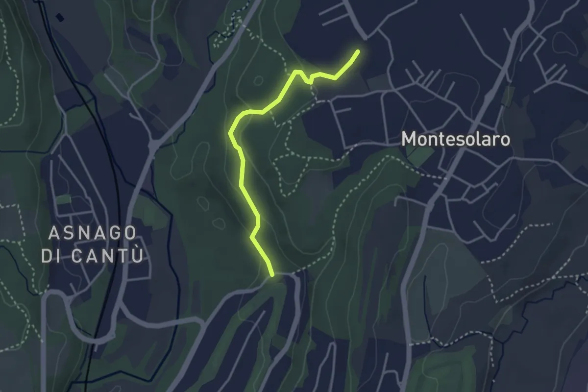
Easy · Trail
Carimate – Cantù
2.9 km · ↑ 102 m · 55 min · 13 km away
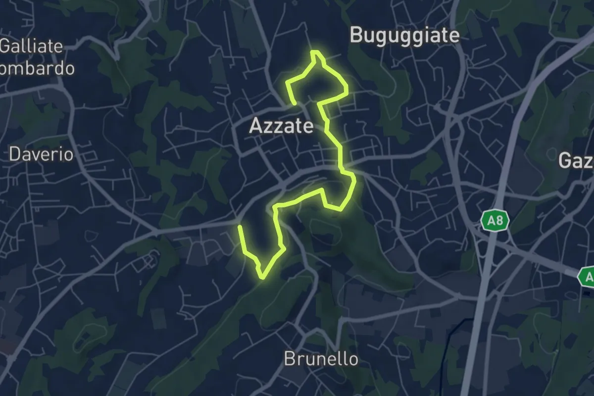
Easy · Trail
Piane Viscontee - Anello di Azzate
7.1 km · ↑ 239 m · 2 h 11 min · 13 km away
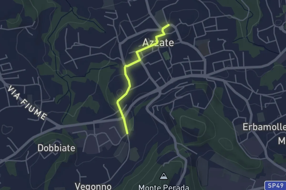
Easy · Trail
Piane Viscontee - Anello di Azzate
2.7 km · ↑ 48 m · 44 min · 13 km away
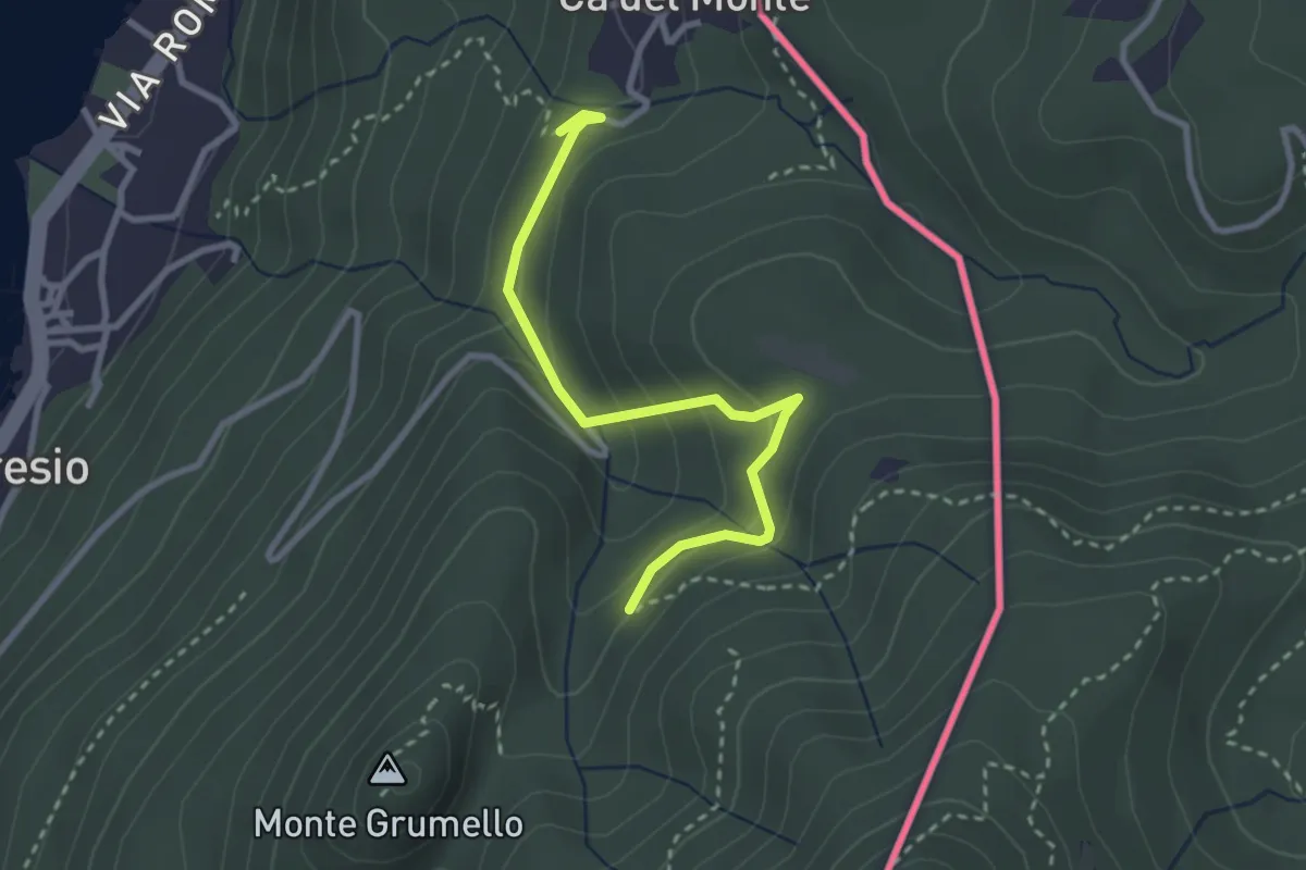
Easy · Trail
Porto Ceresio – Monte Grumello
2.9 km · ↑ 192 m · 1 h 6 min · 13 km away
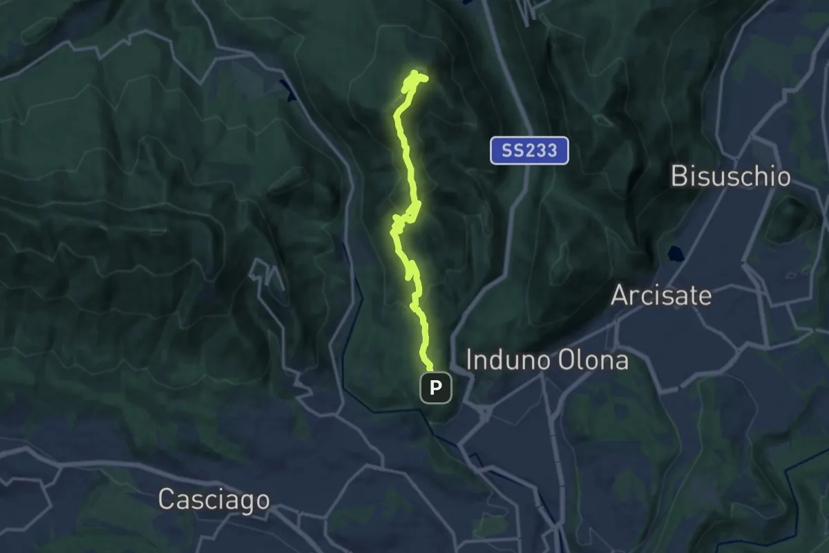
Medium · Summit
Bregazzana - Monte Martica
13.7 km · ↑ 692 m · 4 h 44 min · 13 km away
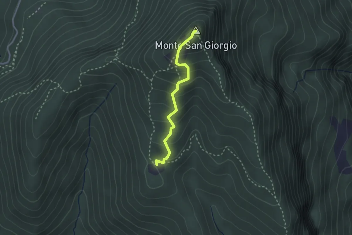
Medium · Summit
Monte San Giorgio – Cassina
2.2 km · ↑ 179 m · 55 min · 14 km away
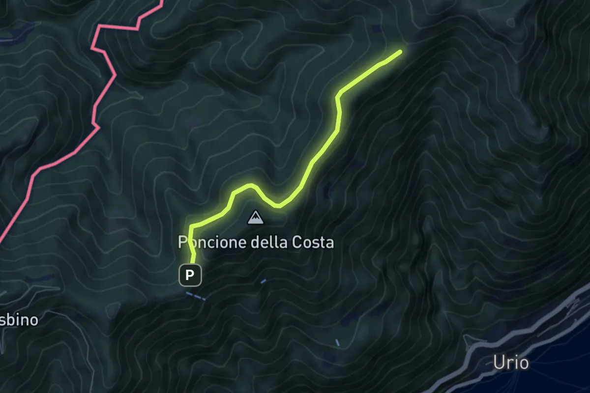
Easy · Cabin
Rif. Bugone – Rif. Murelli
5.6 km · ↑ 165 m · 1 h 41 min · 14 km away
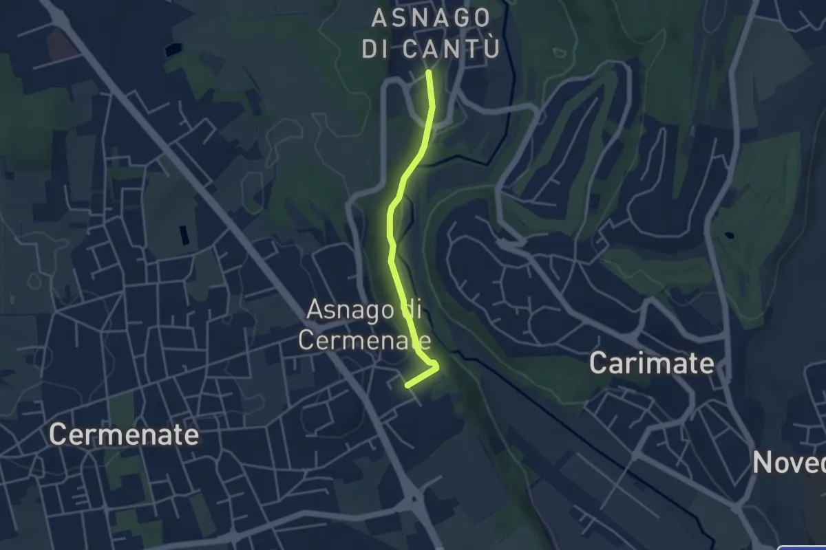
Easy · Trail
Asnago di Cantù – Asnago di Cermenate
3.2 km · ↑ 75 m · 55 min · 14 km away
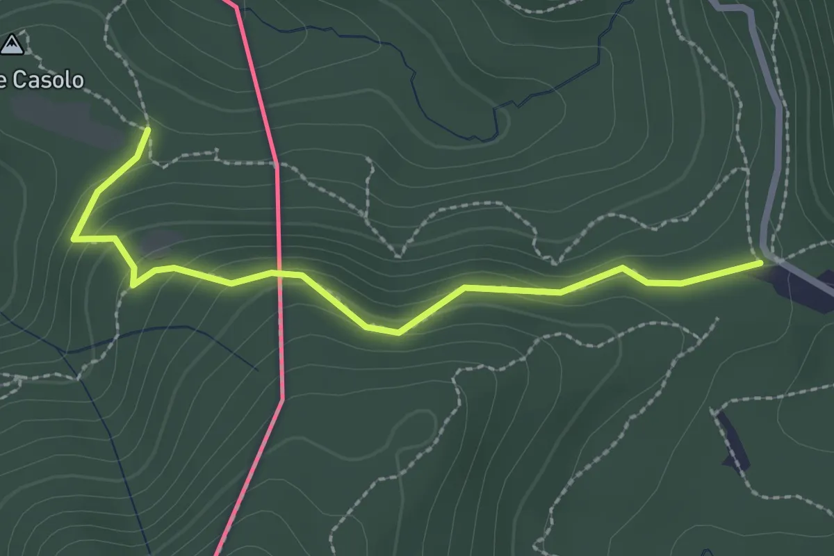
Medium · Trail
Crossifico - Monte Casolo (I) ? / Porto Ceresio (I) ? - fixme
2.5 km · ↑ 122 m · 51 min · 14 km away
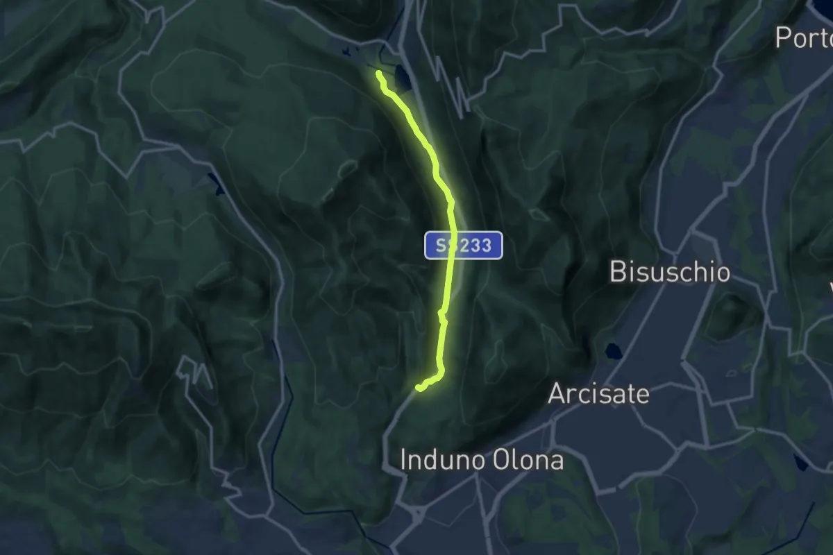
Medium · Trail
Valganna – Grotte di Valganna
9.6 km · ↑ 117 m · 2 h 31 min · 14 km away
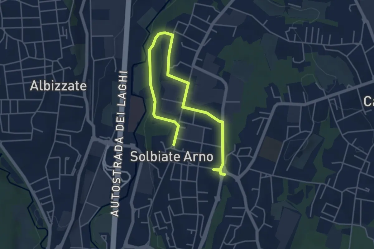
Easy · Trail
Percorsi del Cuore - Anello di Solbiate Arno
5.3 km · ↑ 64 m · 1 h 23 min · 14 km away
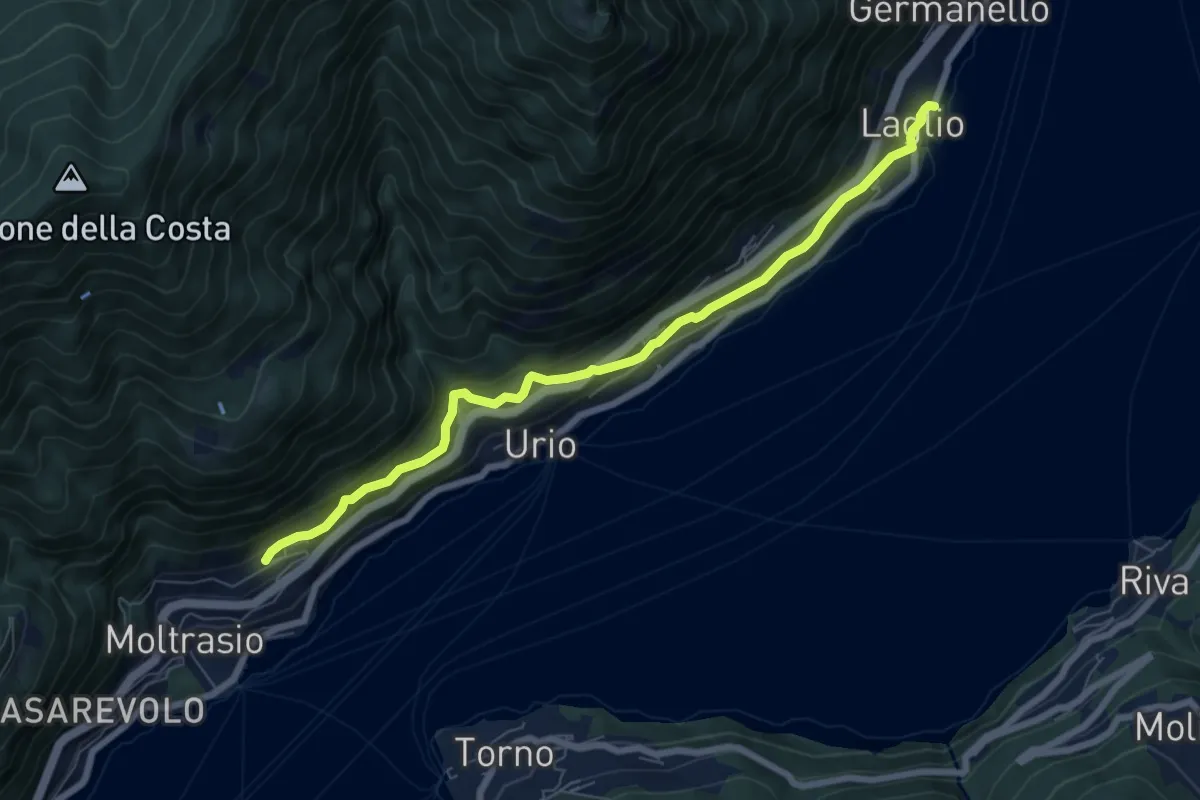
Medium · Trail
Via Verde
7.4 km · ↑ 362 m · 2 h 31 min · 14 km away
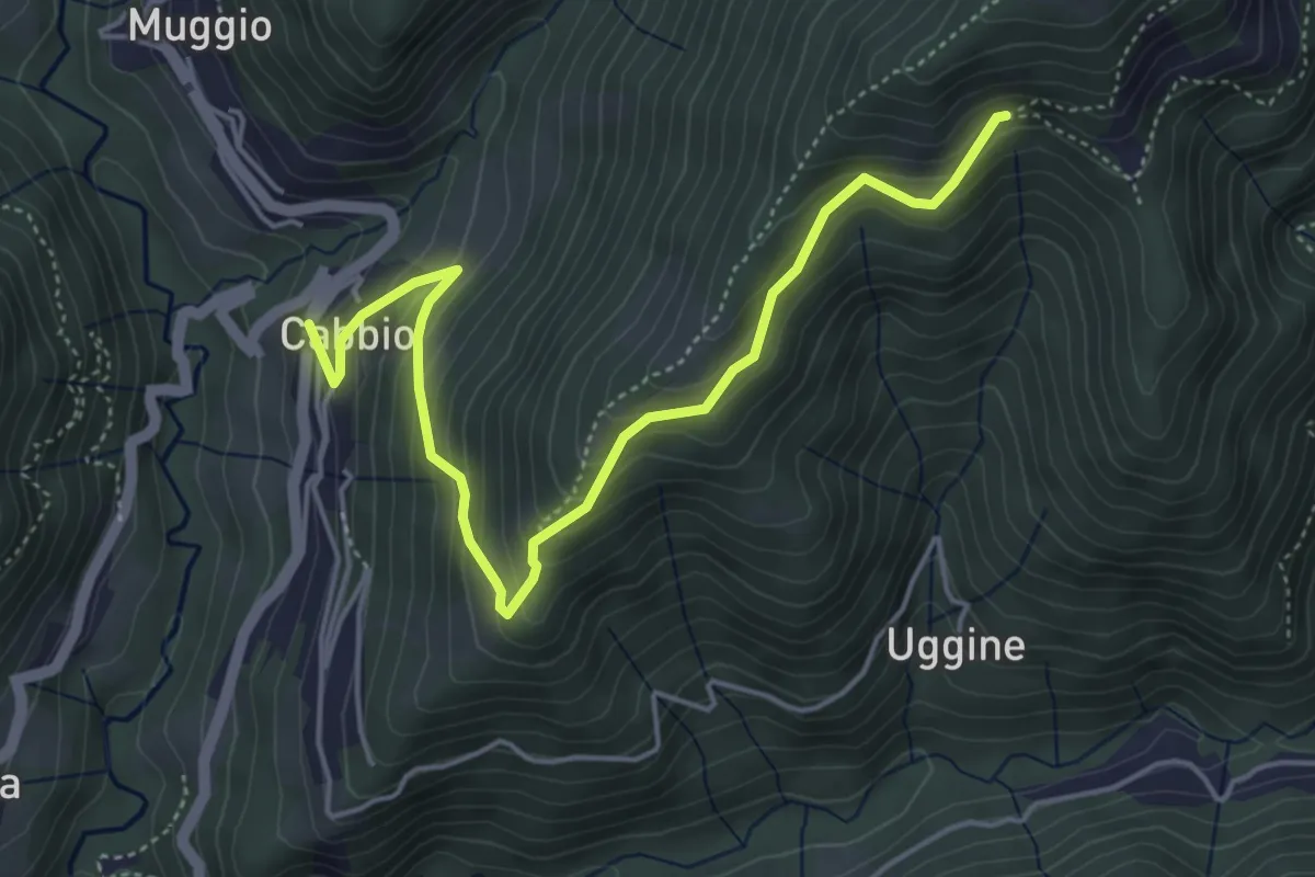
Medium · Trail
Arla – Cabbio
5.2 km · ↑ 423 m · 2 h 9 min · 14 km away
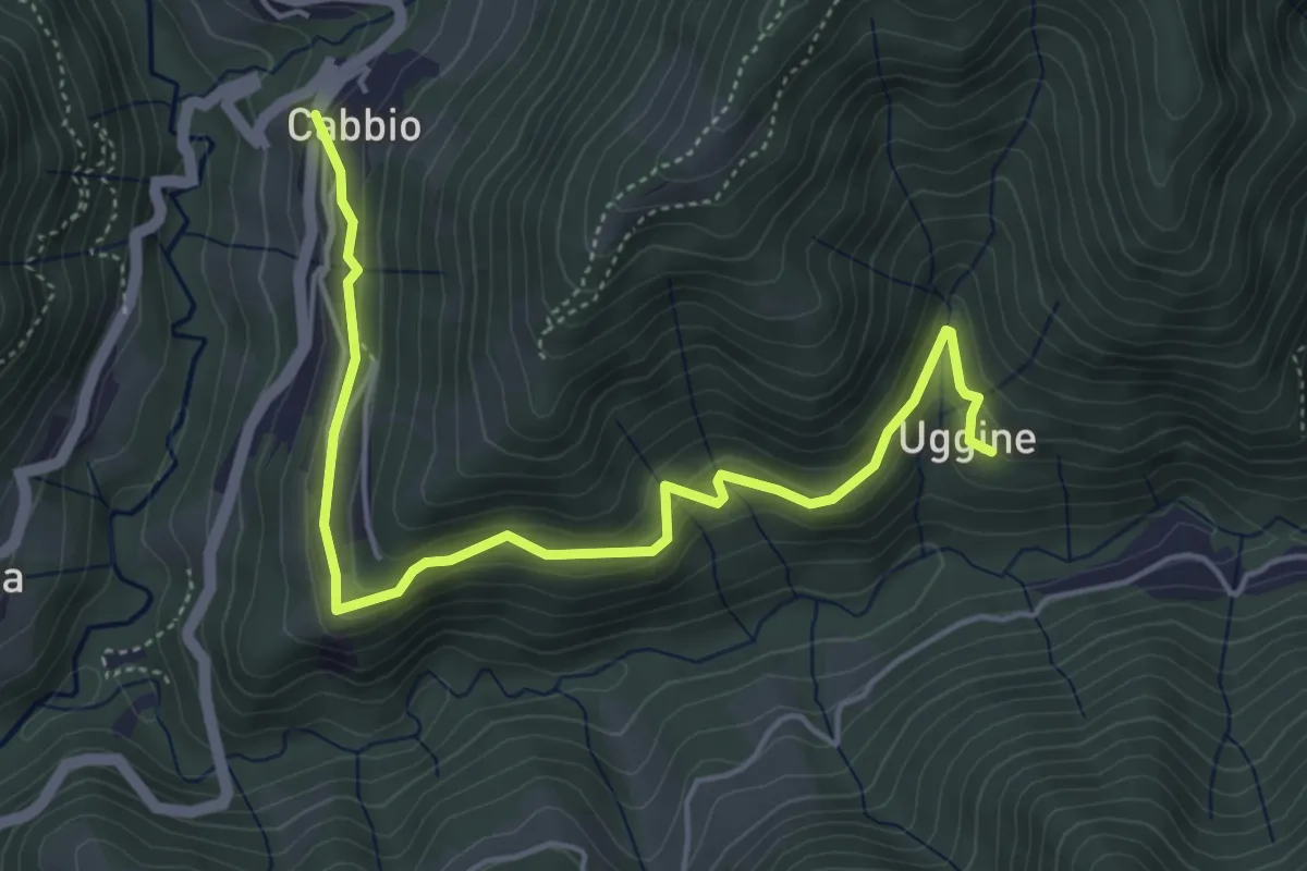
Medium · Trail
Cabbio – Uggine
5.4 km · ↑ 335 m · 2 h · 14 km away
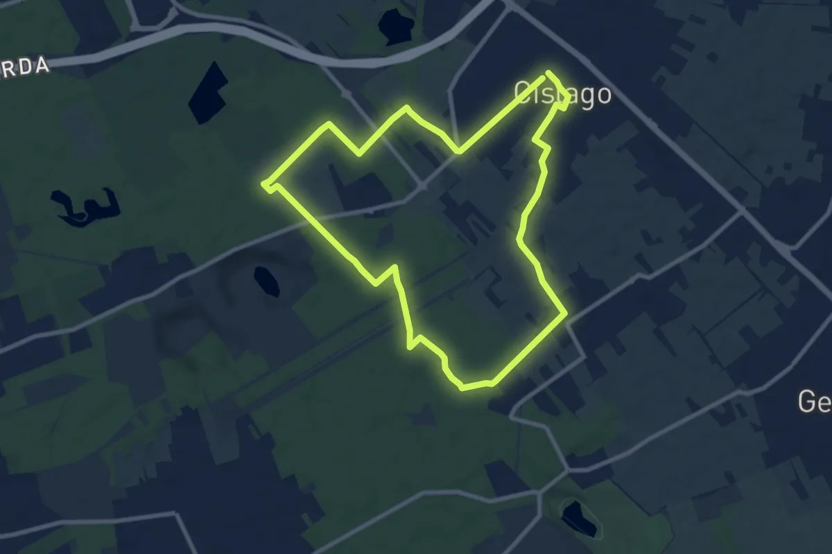
Medium · Trail
Anello Cislago
8.3 km · ↑ 25 m · 2 h 8 min · 14 km away
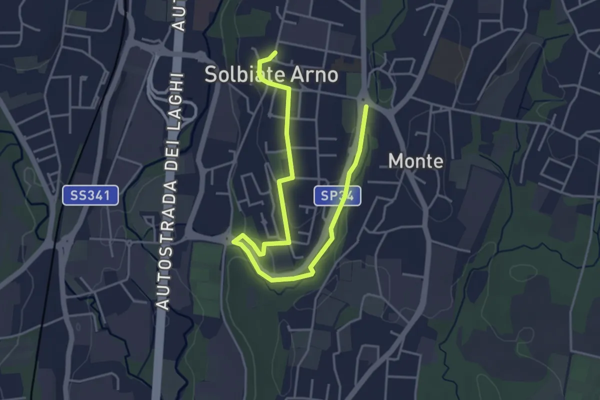
Easy · Trail
Percorsi del Cuore - Anello di Solbiate Arno
5.0 km · ↑ 72 m · 1 h 20 min · 14 km away
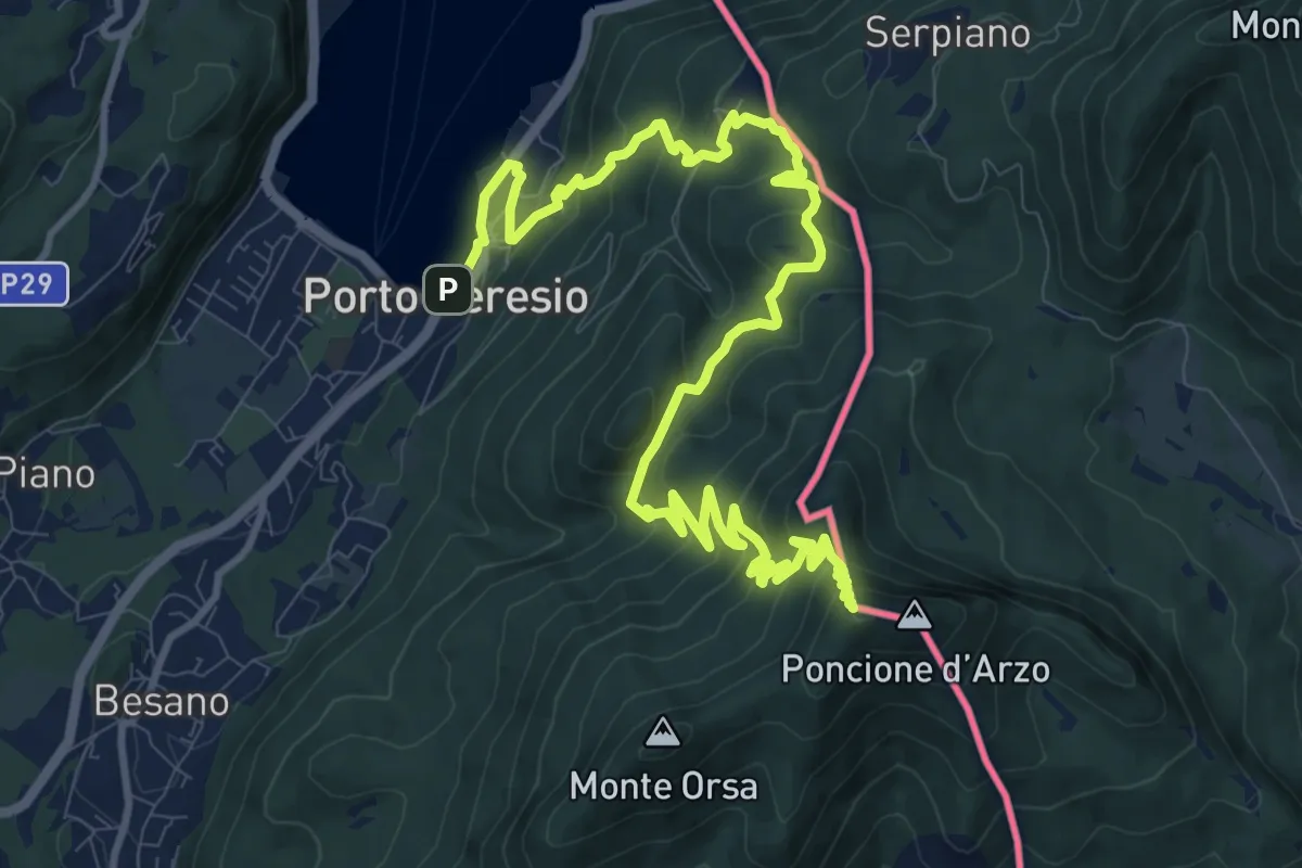
Demanding · Summit
Porto Ceresio – Viggiù (Piazza Europa)
15.3 km · ↑ 1101 m · 5 h 59 min · 14 km away