Trails near Olgiate Comasco
167 hikes starting within 15 km, nearest first.
Nearest first, page 4 of 4
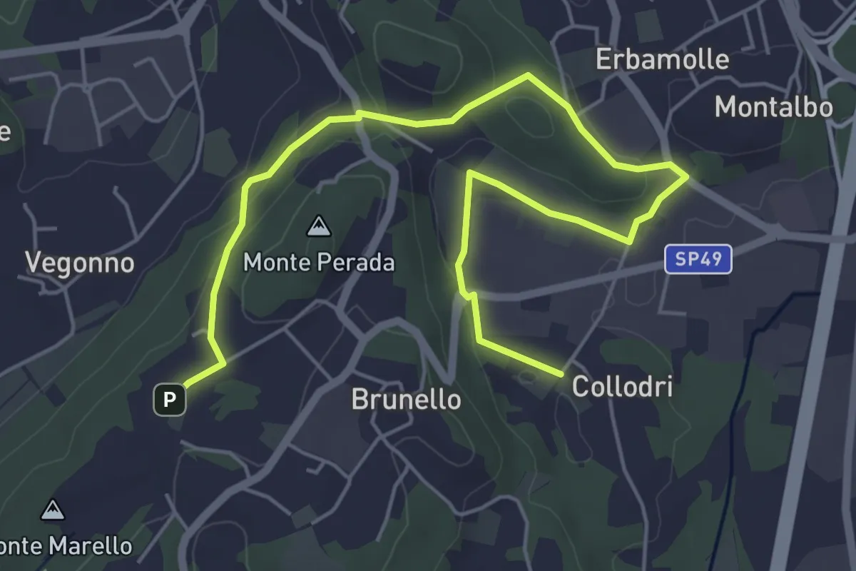
Easy · Trail
Piane Viscontee - Anello di Brunello
6.9 km · ↑ 139 m · 1 h 56 min · 14 km away
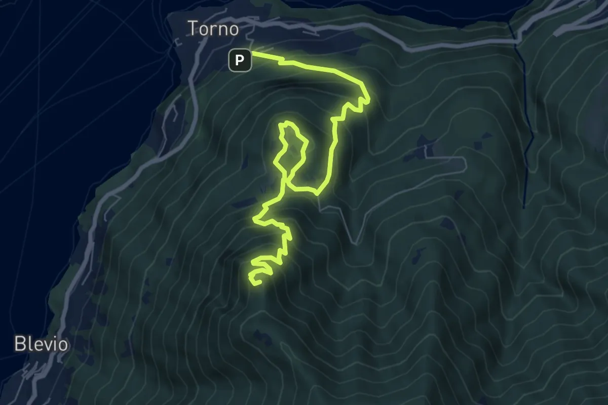
Demanding · Summit
Torno – Baita Carla
9.0 km · ↑ 837 m · 3 h 57 min · 14 km away
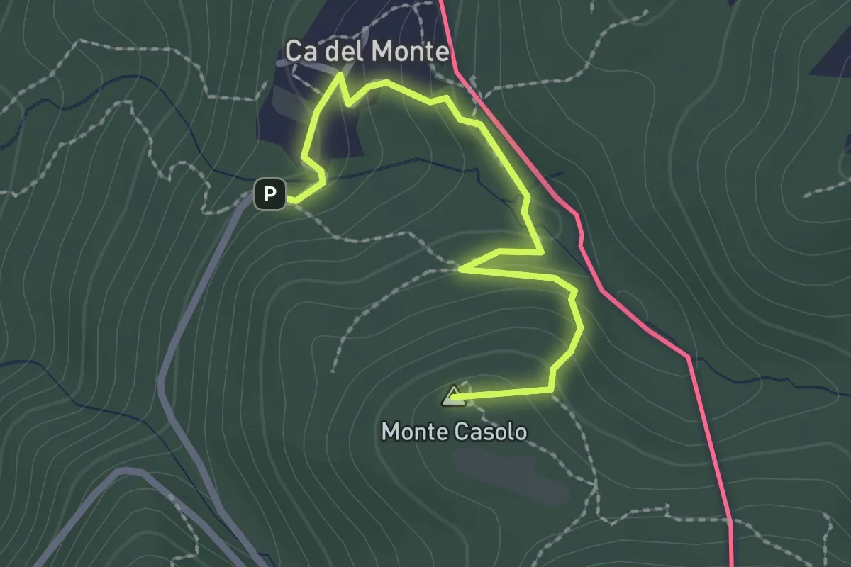
Easy · Summit
Variante Ca' del Monte – Innesto su 461A
2.4 km · ↑ 120 m · 50 min · 14 km away
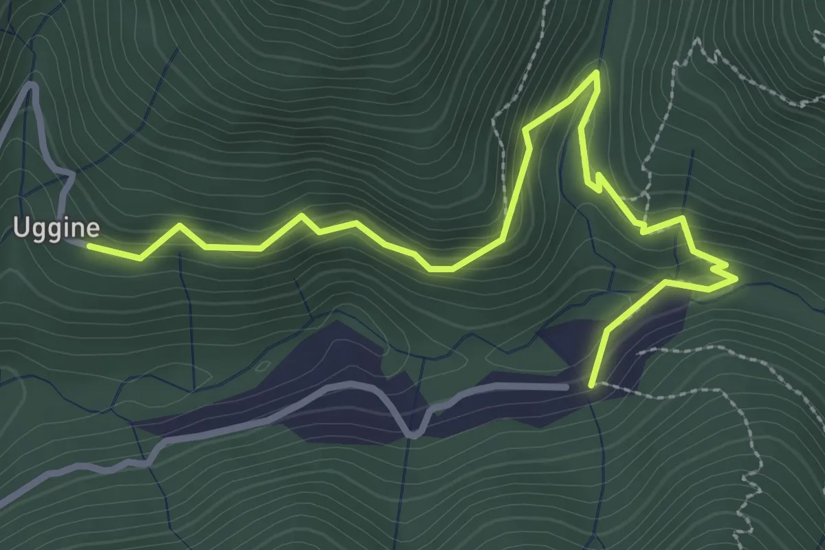
Medium · Trail
Uggine – Crotta
3.4 km · ↑ 187 m · 1 h 13 min · 14 km away
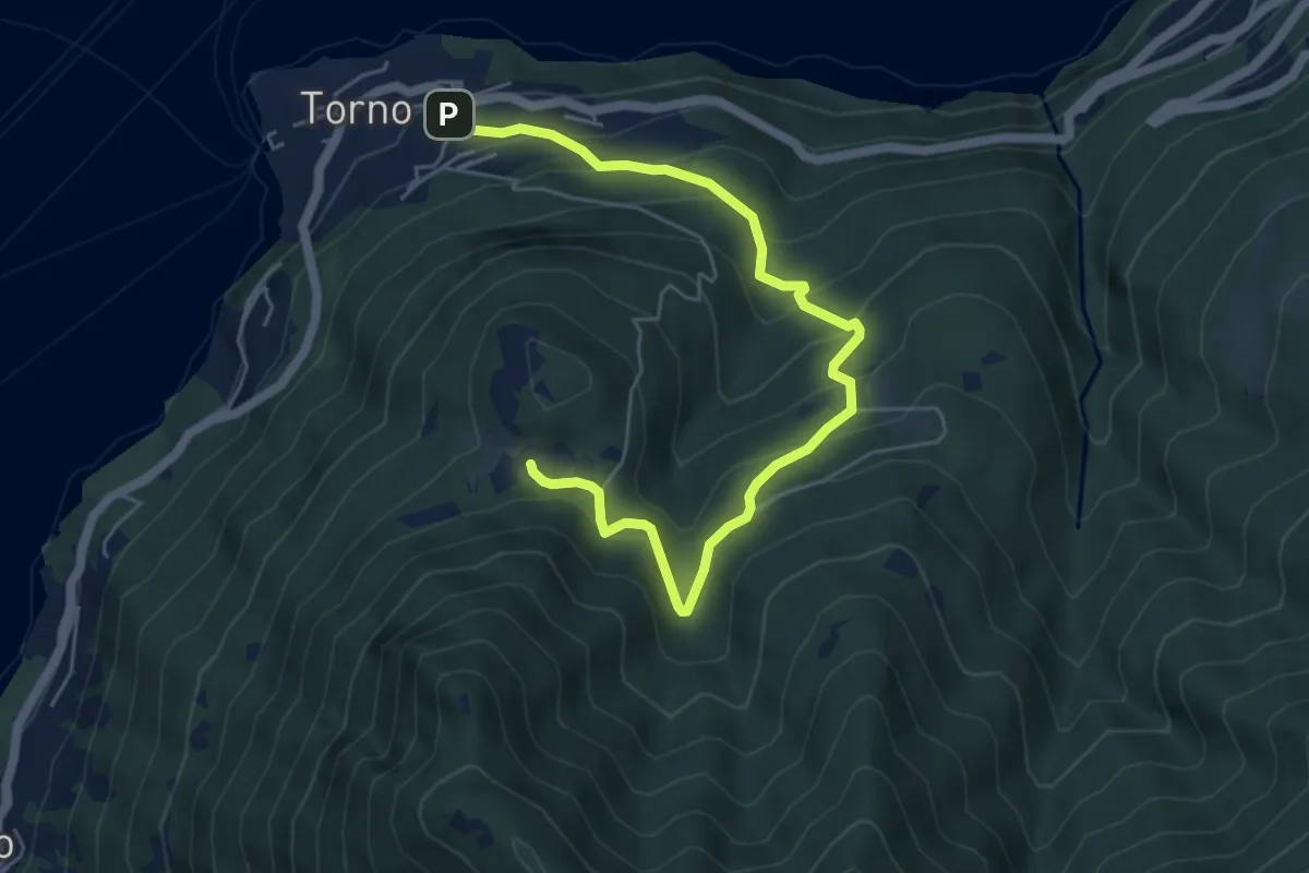
Medium · Trail
Torno – Montepiatto
6.3 km · ↑ 528 m · 2 h 37 min · 14 km away
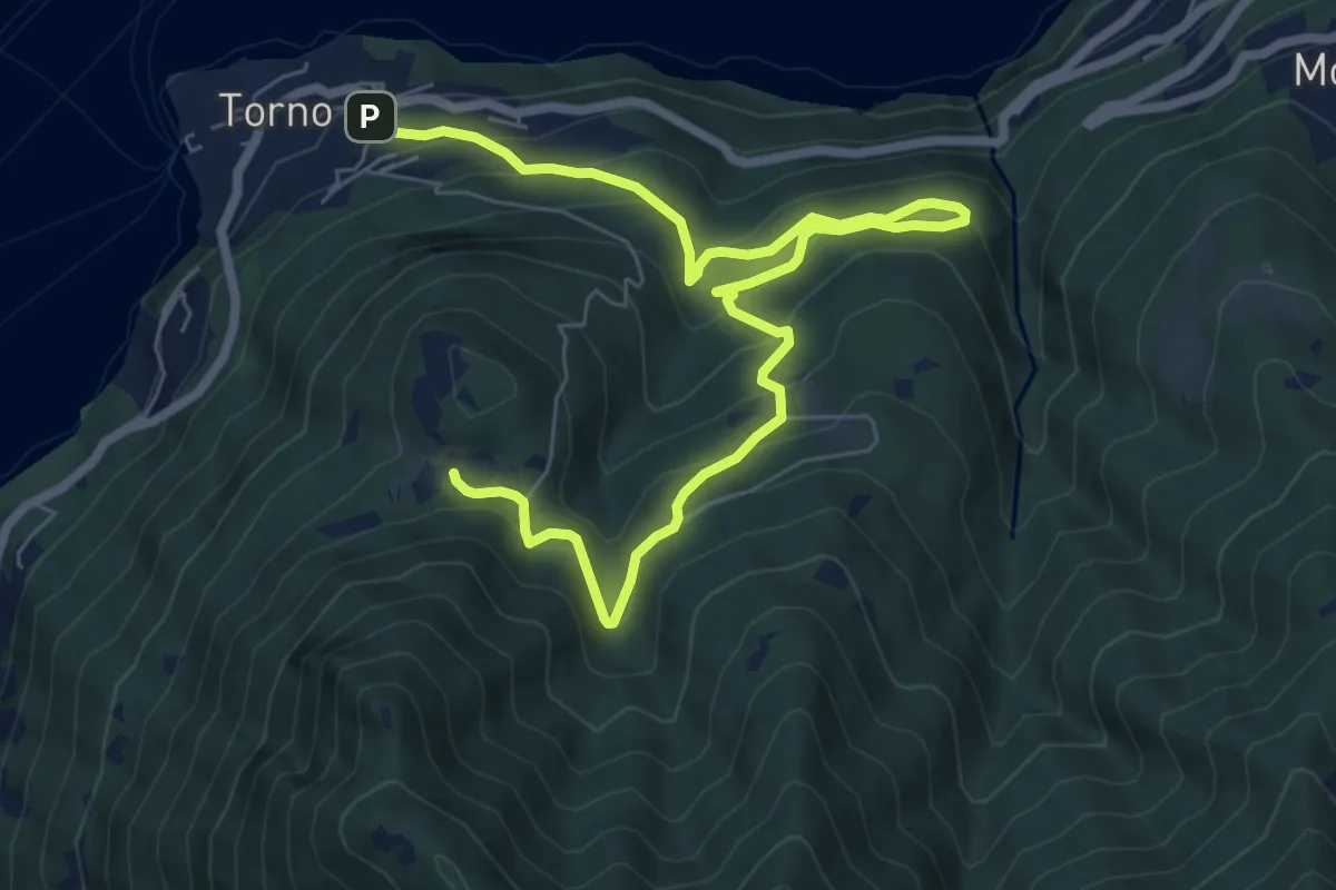
Medium · Trail
Torno – Montepiatto
9.2 km · ↑ 623 m · 3 h 32 min · 14 km away
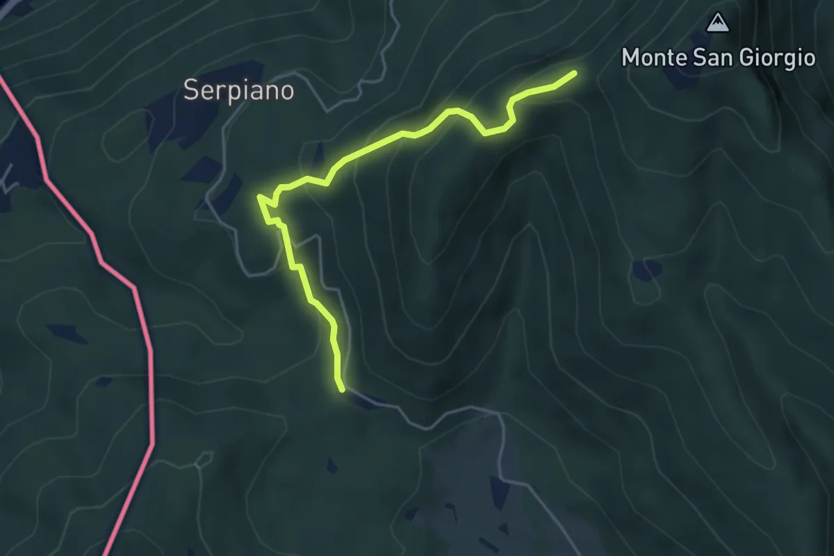
Medium · Trail
Punto 902 – Crocifisso
4.3 km · ↑ 290 m · 1 h 39 min · 14 km away
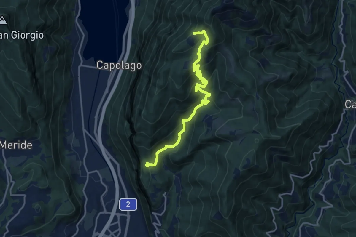
Medium · Cabin
Bellavista St.ne – San Nicolao St.ne
11.4 km · ↑ 779 m · 4 h 23 min · 14 km away
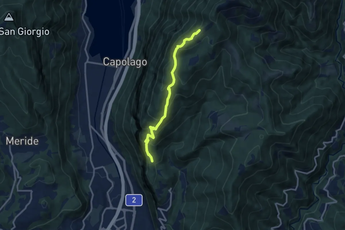
Medium · Cabin
Bellavista – San Nicolao St.ne
7.6 km · ↑ 564 m · 3 h 1 min · 14 km away
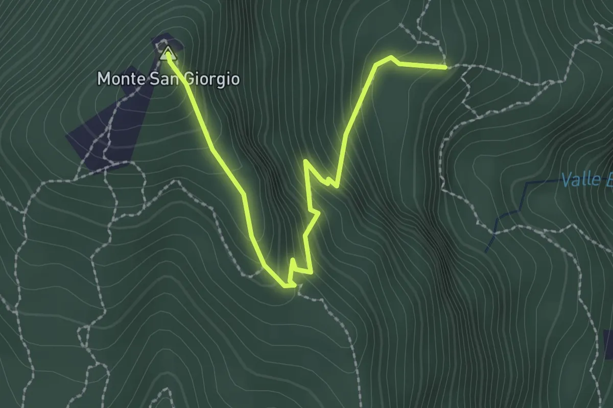
Easy · Summit
M.te San Giorgio - Pozzo? - fixme
2.6 km · ↑ 257 m · 1 h 11 min · 14 km away
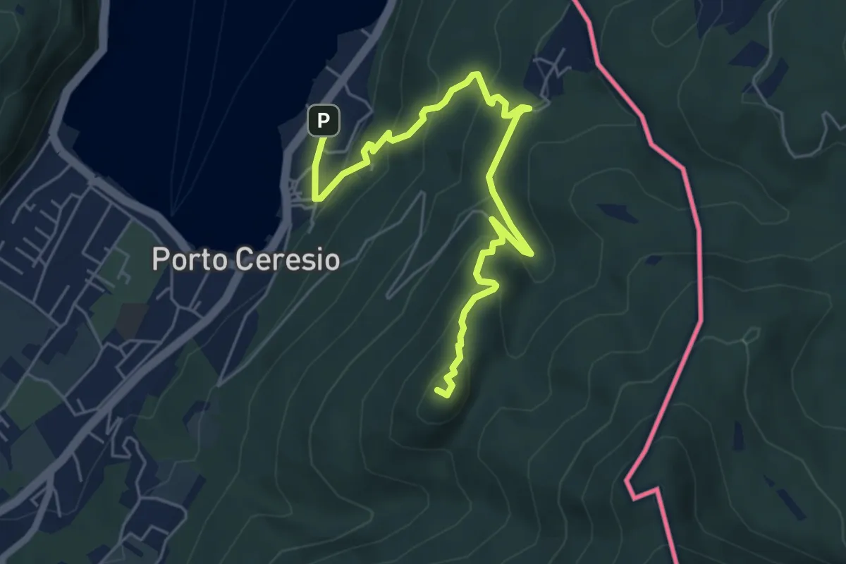
Medium · Summit
Porto Ceresio – Monte Grumello
6.3 km · ↑ 452 m · 2 h 28 min · 14 km away
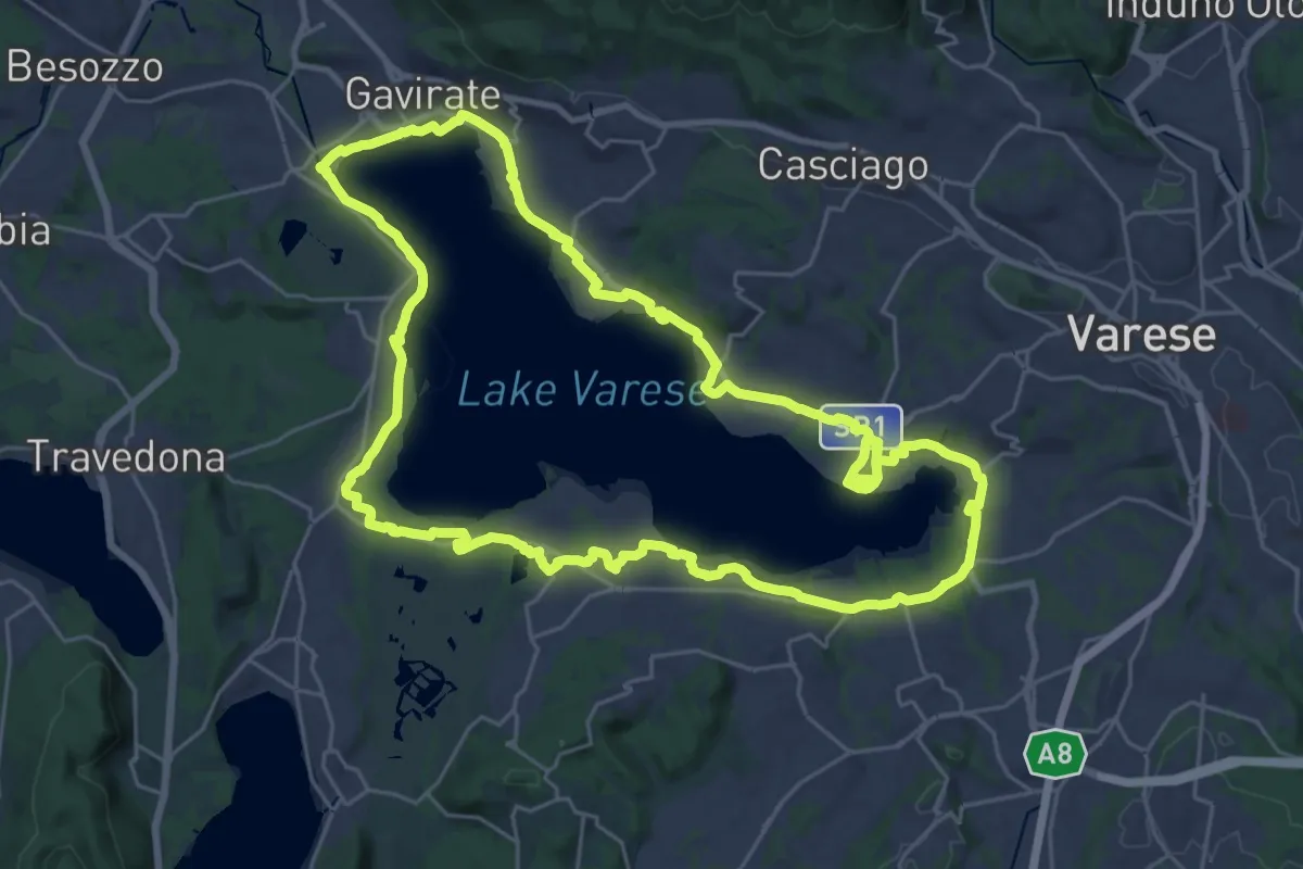
Demanding · Trail
Ciclopedonale Lago di Varese
29.9 km · ↑ 145 m · 7 h 47 min · 14 km away
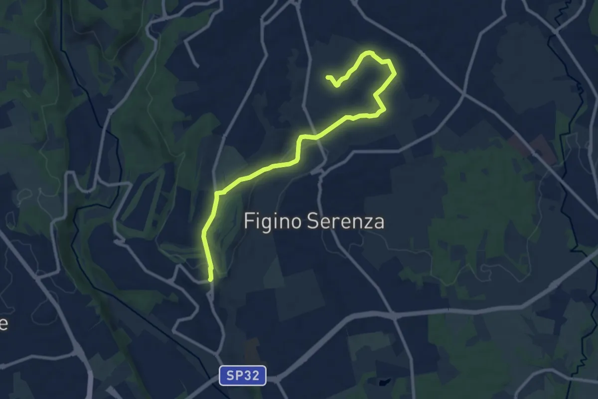
Medium · Trail
Carimate – Cascina Moia
9.3 km · ↑ 103 m · 2 h 25 min · 15 km away
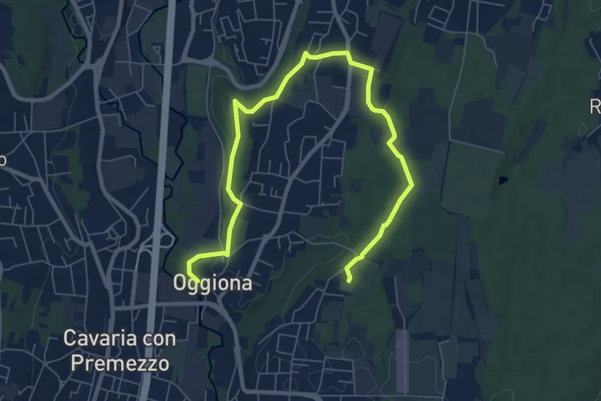
Medium · Trail
Percorsi del Cuore - Anello di Oggiona Santo Stefano
8.2 km · ↑ 118 m · 2 h 11 min · 15 km away
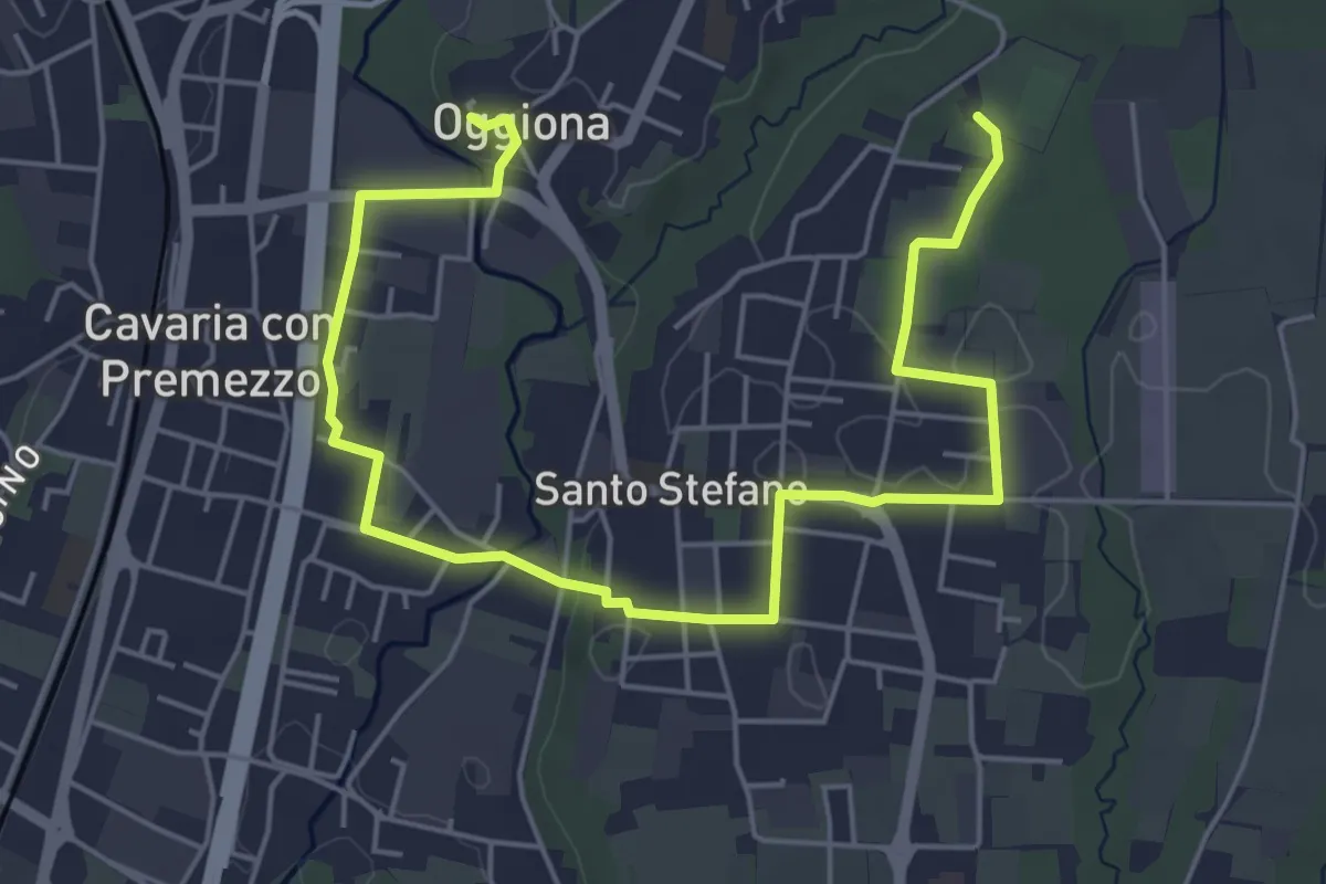
Easy · Trail
Percorsi del Cuore - Anello di Oggiona Santo Stefano
7.1 km · ↑ 68 m · 1 h 50 min · 15 km away
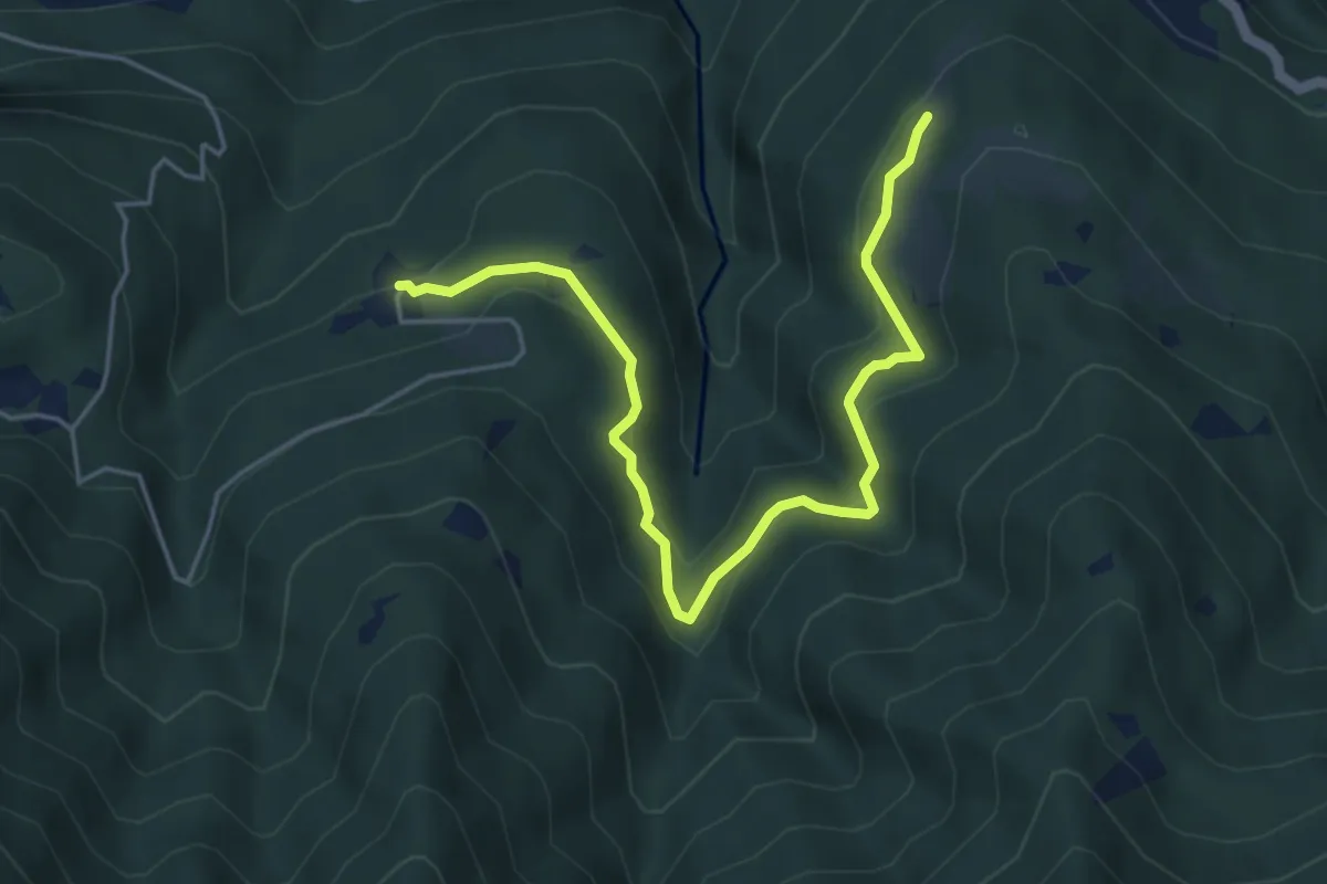
Medium · Trail
Piazzaga – Case delle Perle
5.4 km · ↑ 273 m · 1 h 52 min · 15 km away
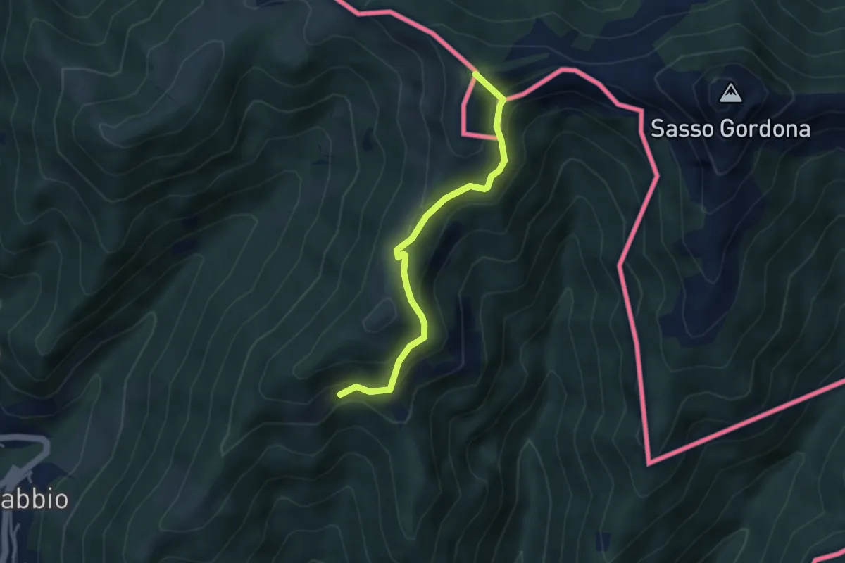
Medium · Summit
Rifugio Prabello (I) – Arla
3.6 km · ↑ 265 m · 1 h 26 min · 15 km away
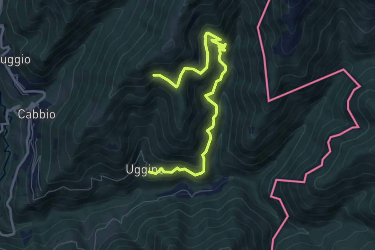
Medium · Trail
Uggine – Arla
7.7 km · ↑ 732 m · 3 h 25 min · 15 km away
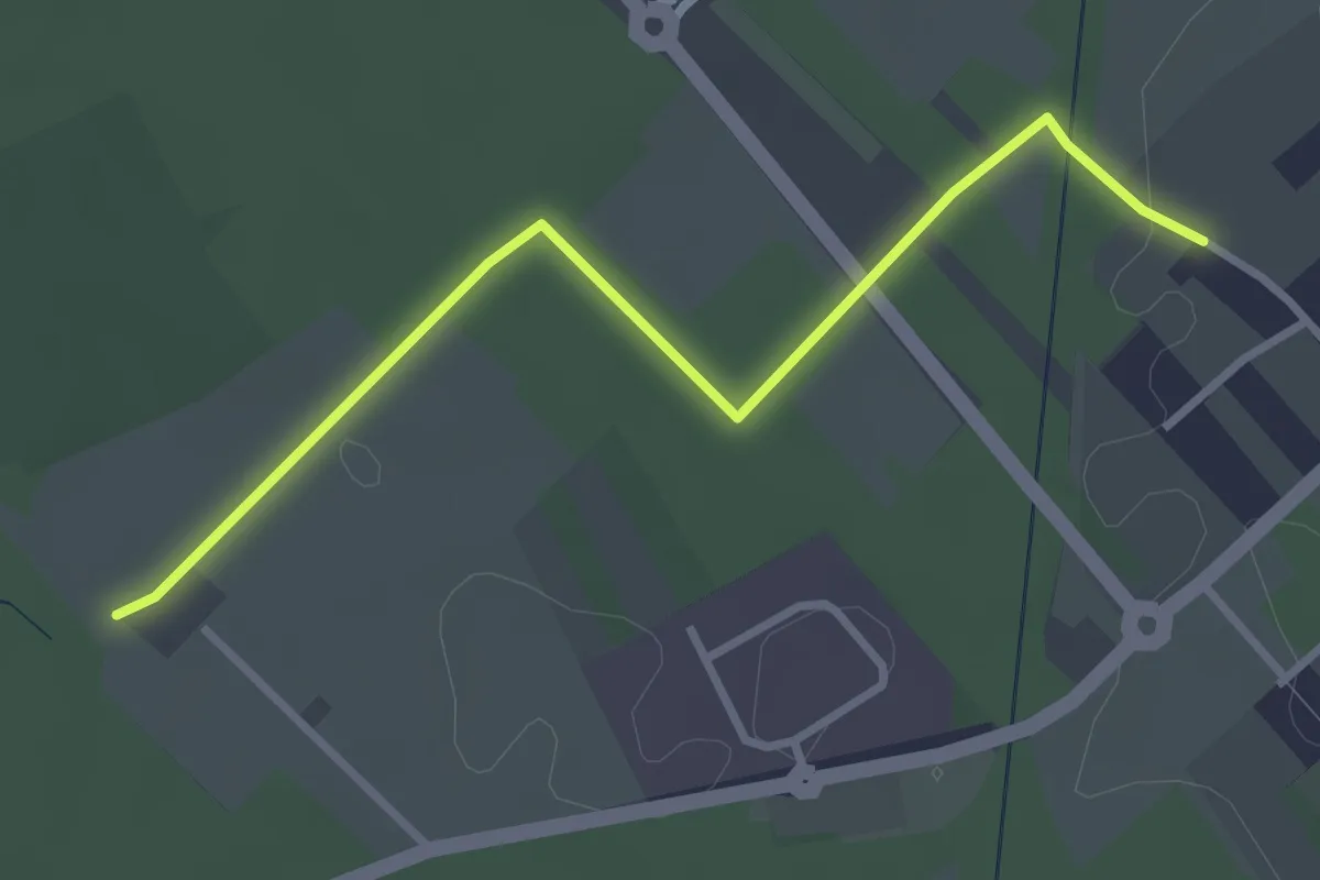
Easy · Trail
Cislago - Rescaldina
3.3 km · ↑ 15 m · 49 min · 15 km away
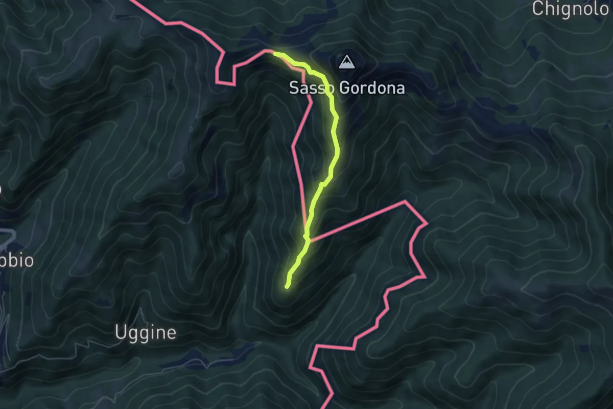
Medium · Cabin
Alpe del Corno – Rifugio Prabello (I)
4.5 km · ↑ 409 m · 1 h 57 min · 15 km away
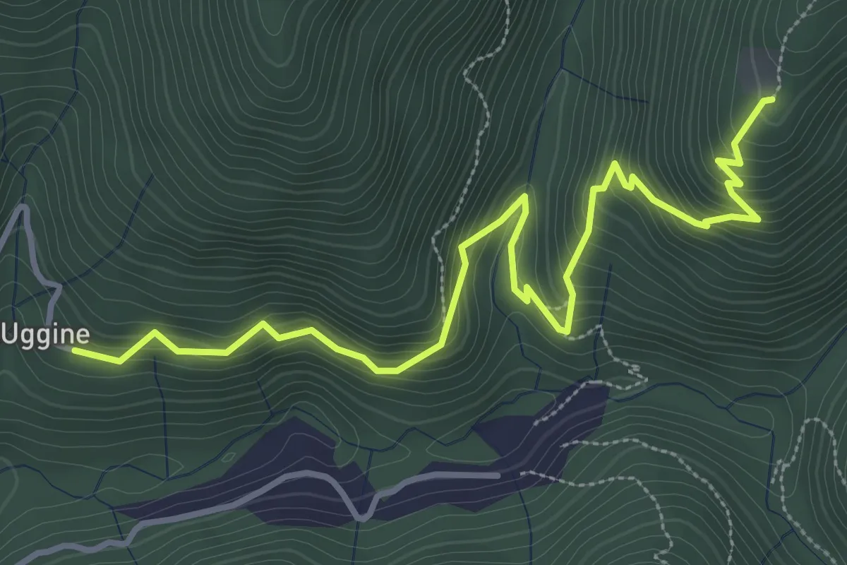
Medium · Trail
Uggine – Alpe del Corno
4.2 km · ↑ 367 m · 1 h 47 min · 15 km away
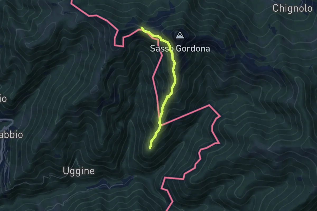
Medium · Cabin
Sentiero Smeraldo
4.6 km · ↑ 415 m · 2 h · 15 km away
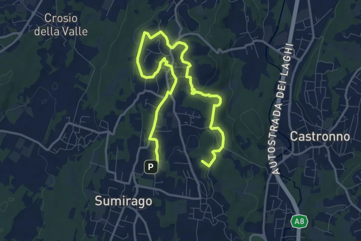
Medium · Summit
Piane Viscontee - Anello di Sumirago
12.3 km · ↑ 254 m · 3 h 28 min · 15 km away