Trails near Omegna
325 hikes starting within 15 km, nearest first.
Nearest first, page 1 of 7
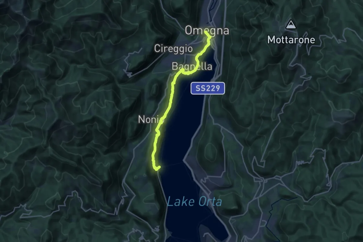
Medium · Trail
T05 - Omegna - Ronco Inferiore
16.5 km · ↑ 776 m · 5 h 34 min · under 1 km away
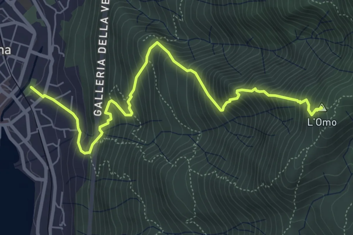
Demanding · Summit
VP2 - Omegna - Mottarone
6.5 km · ↑ 916 m · 3 h 31 min · under 1 km away
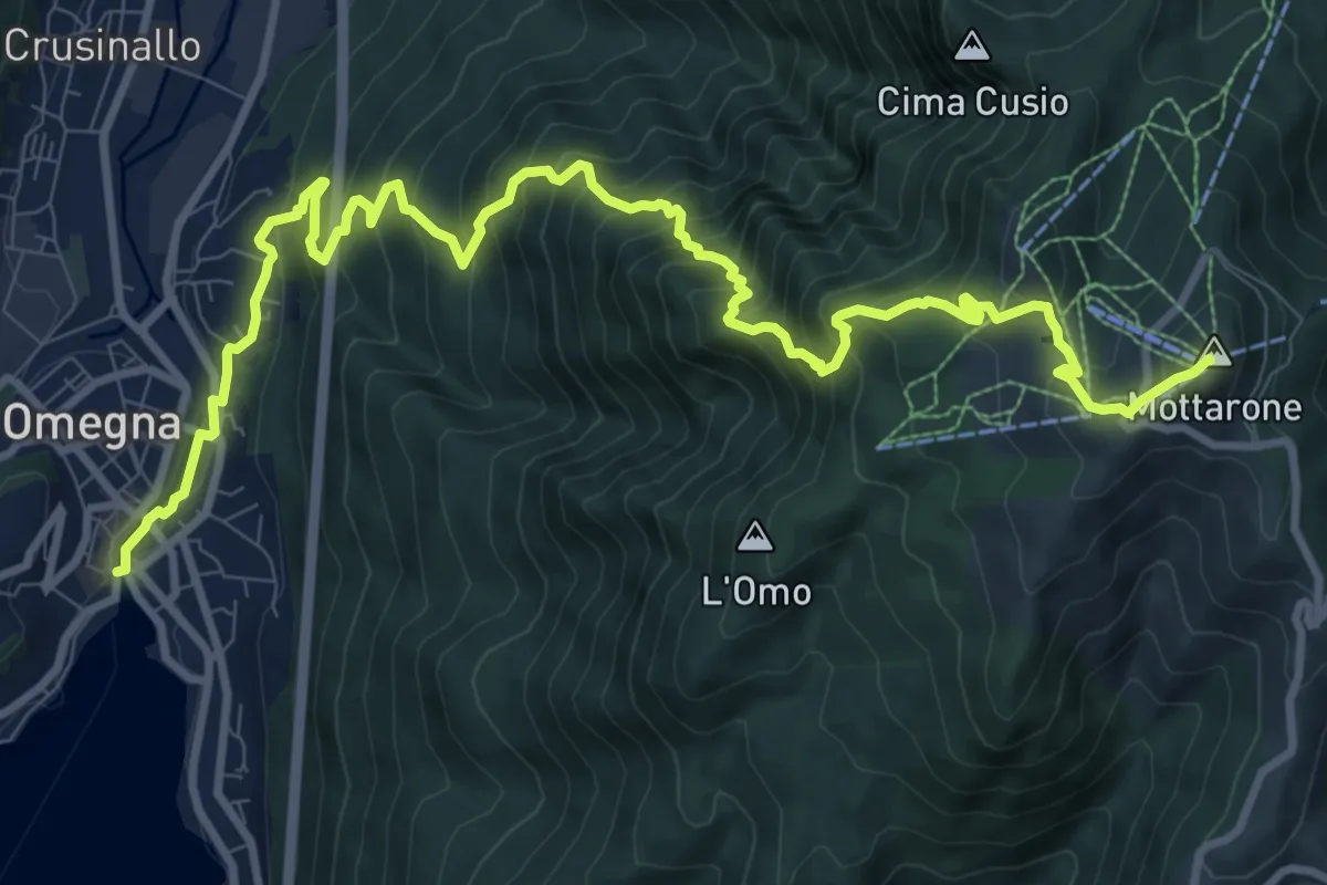
Demanding · Summit
VP1 - Omegna - Mottarone
13.5 km · ↑ 1237 m · 5 h 52 min · under 1 km away
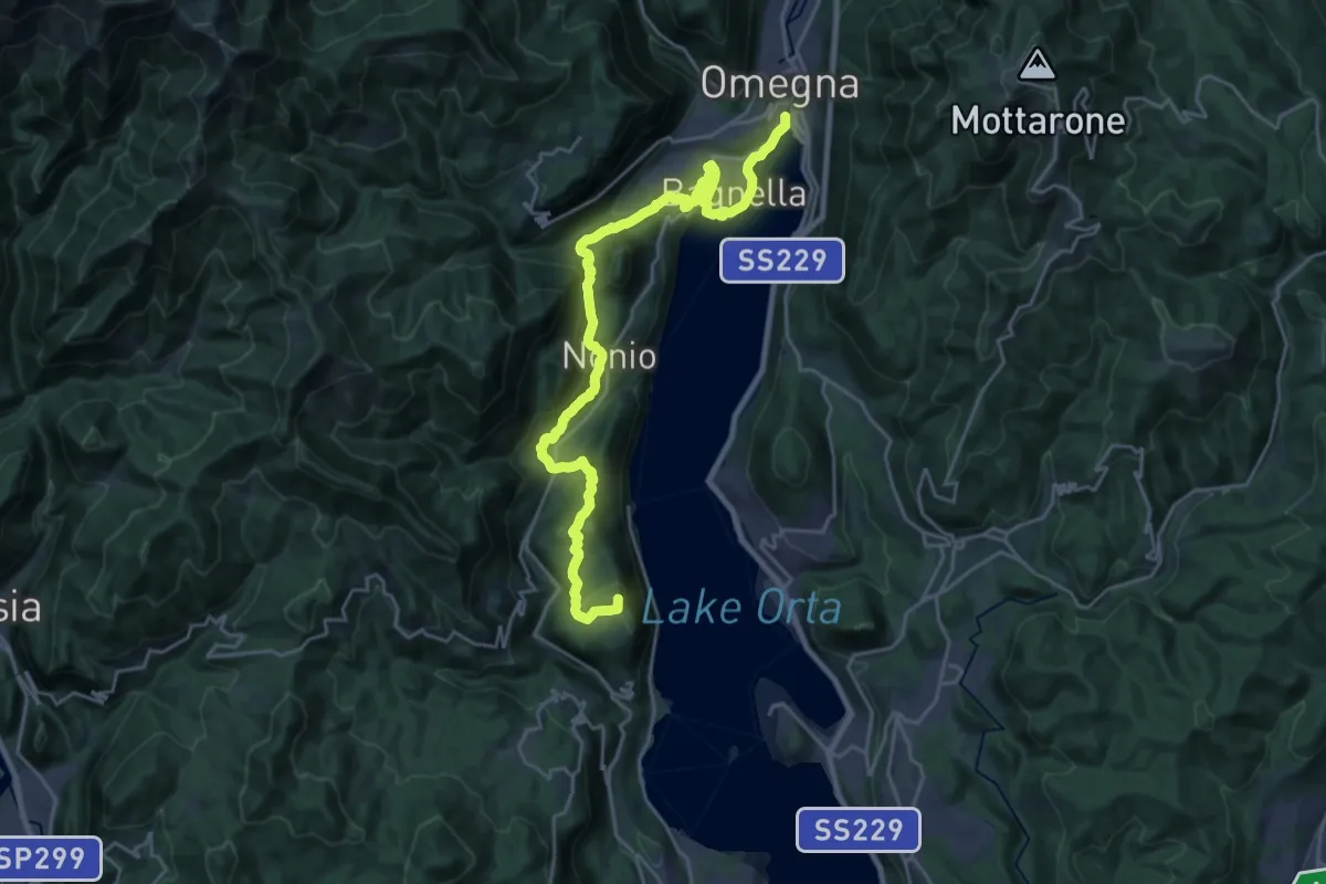
Demanding · Summit
Grand Tour del Lago d'Orta - Tappa 4
26.3 km · ↑ 891 m · 8 h 9 min · under 1 km away
Medium · Trail
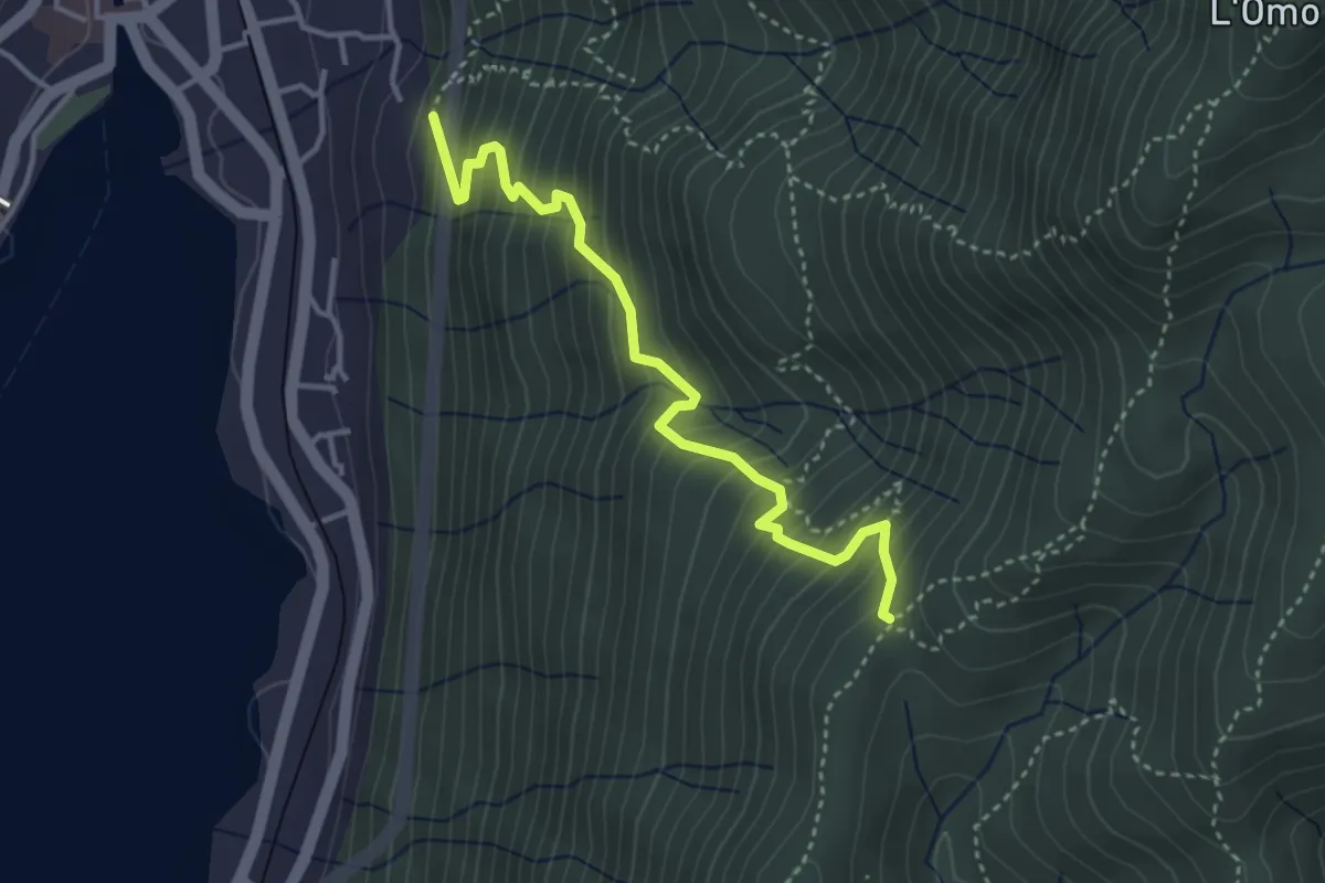
VP3 - Omegna - Tre Alberi
3.7 km · ↑ 502 m · 1 h 58 min · 1 km away
Medium · Trail
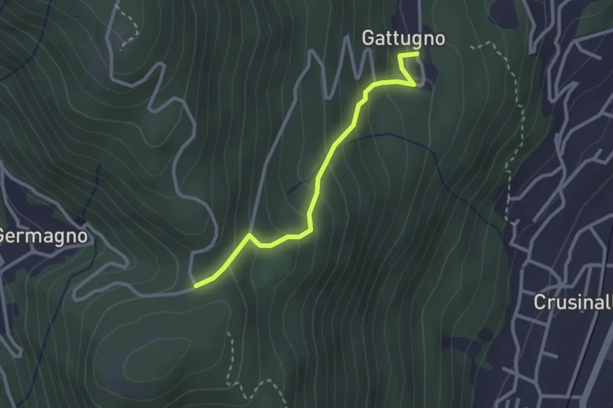
T18a - Gattugno - Alpe Colla
2.3 km · ↑ 205 m · 59 min · 2 km away
Demanding · Summit
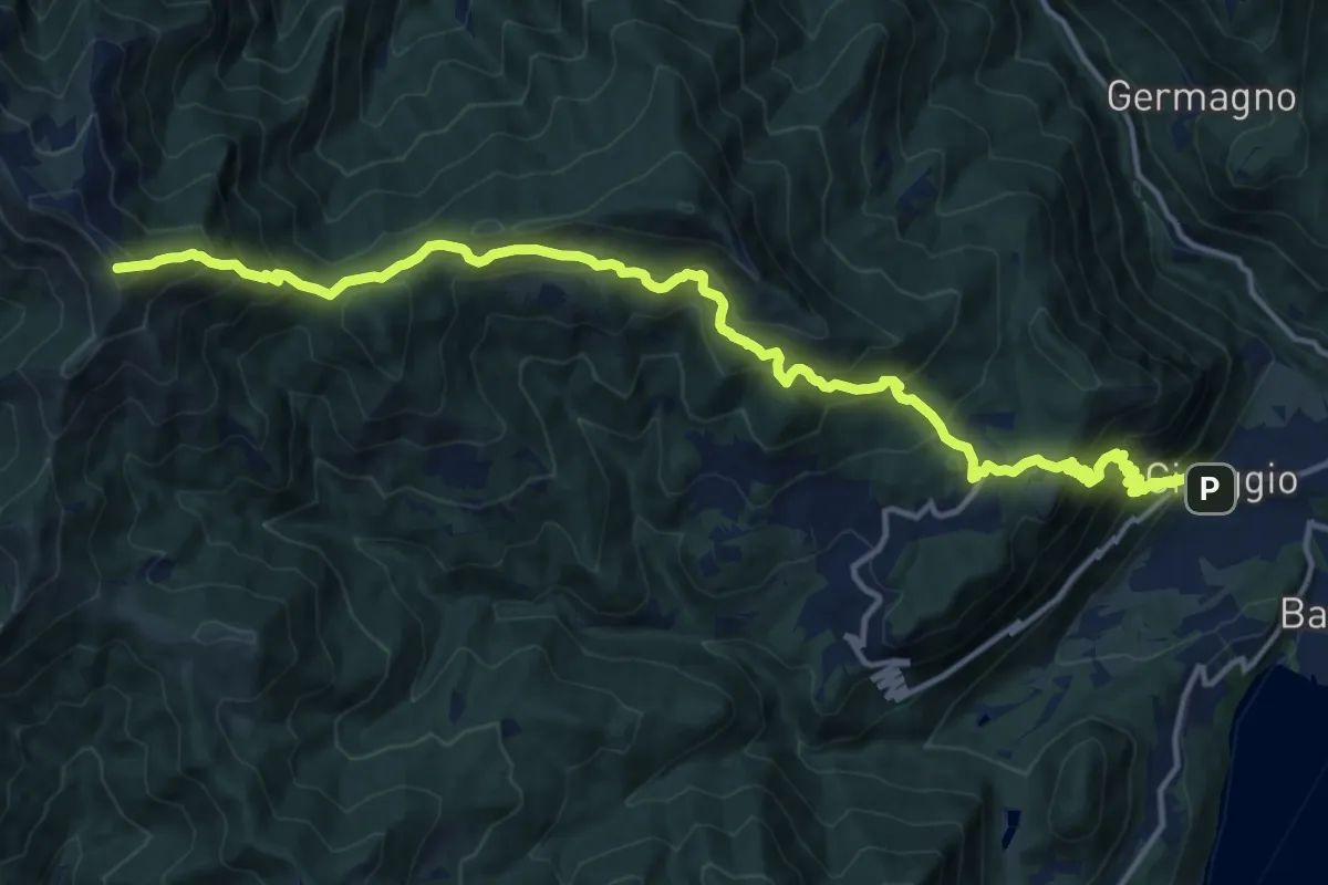
T20 - Cireggio - Monte Croce
17.7 km · ↑ 1480 m · 7 h 24 min · 2 km away
Medium · Summit
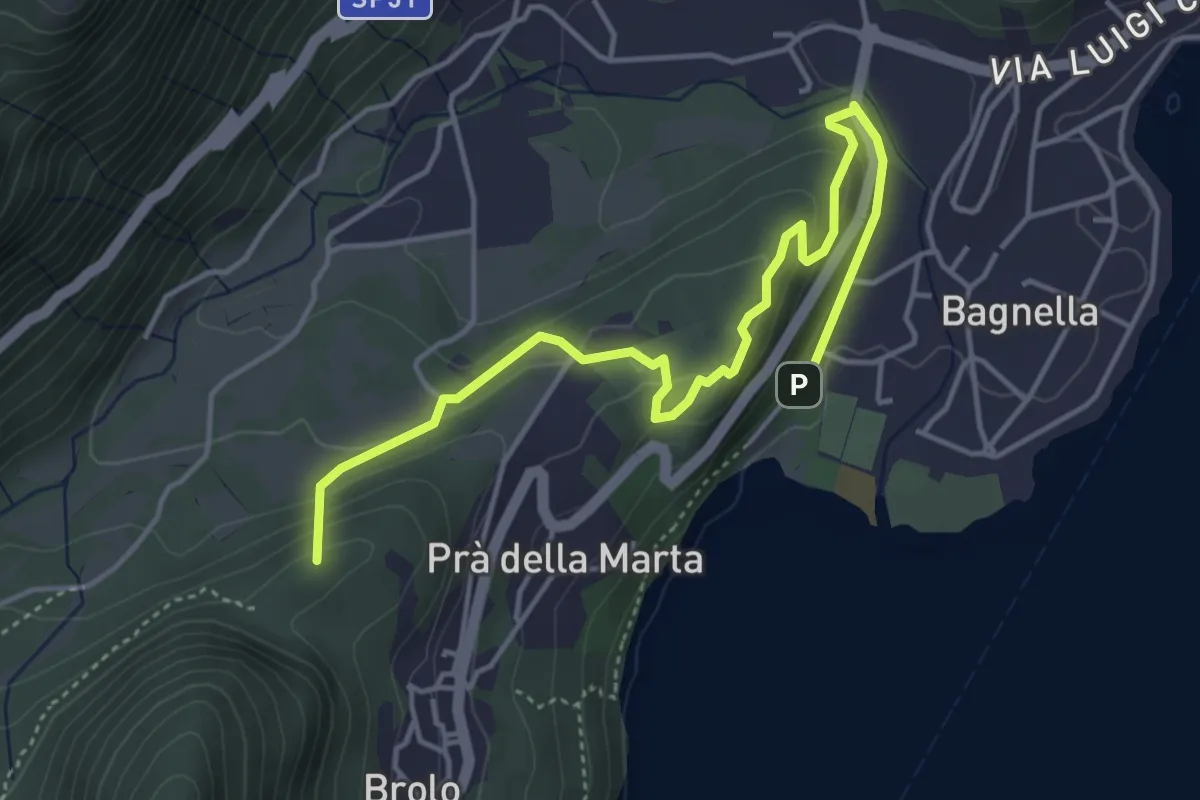
T05a - Omegna - Monte Zoli
5.1 km · ↑ 266 m · 1 h 47 min · 2 km away
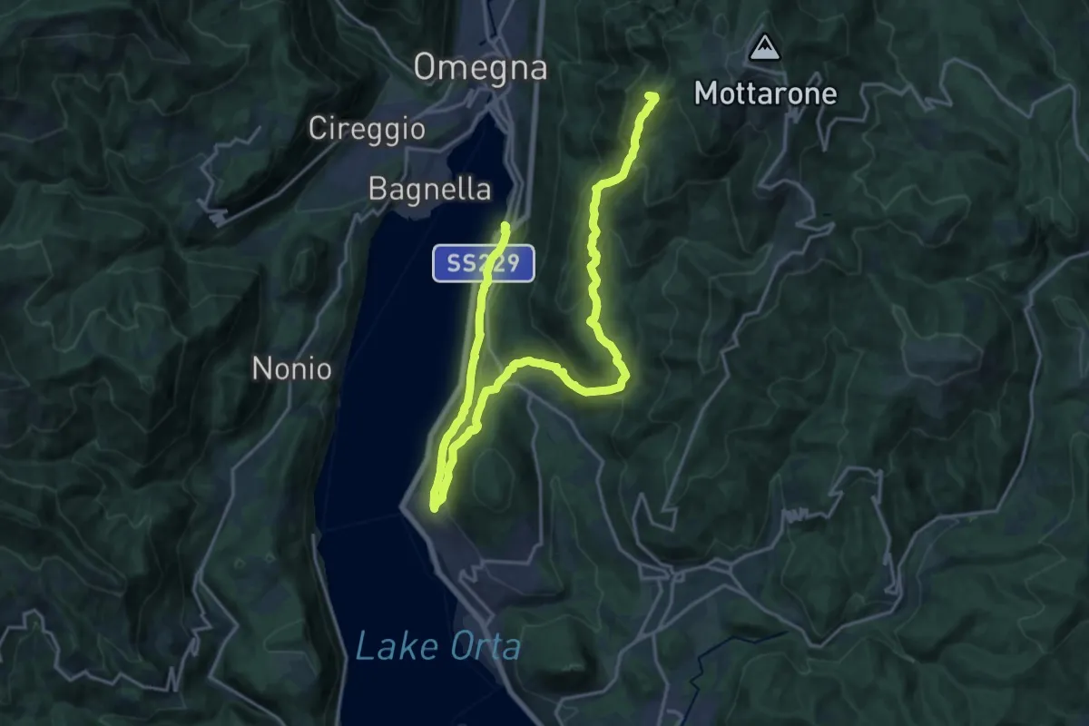
Demanding · Summit
VP4 - Borca - l'Omo
24.1 km · ↑ 1168 m · 8 h 13 min · 2 km away
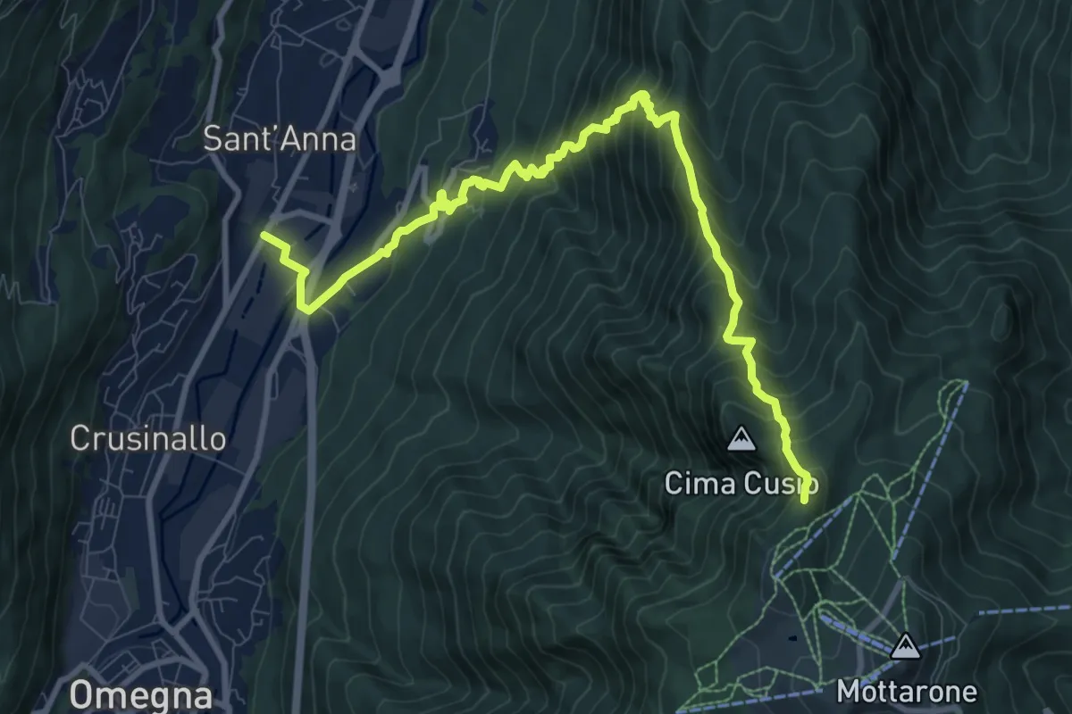
Demanding · Trail
VN3 - Crusinallo - Mottarone
10.9 km · ↑ 1143 m · 5 h 3 min · 2 km away
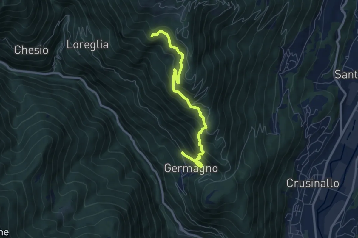
Medium · Trail
Germagno bivio Z00 – Bivio Z02 presso Alpe Ceresa
6.3 km · ↑ 613 m · 2 h 48 min · 2 km away
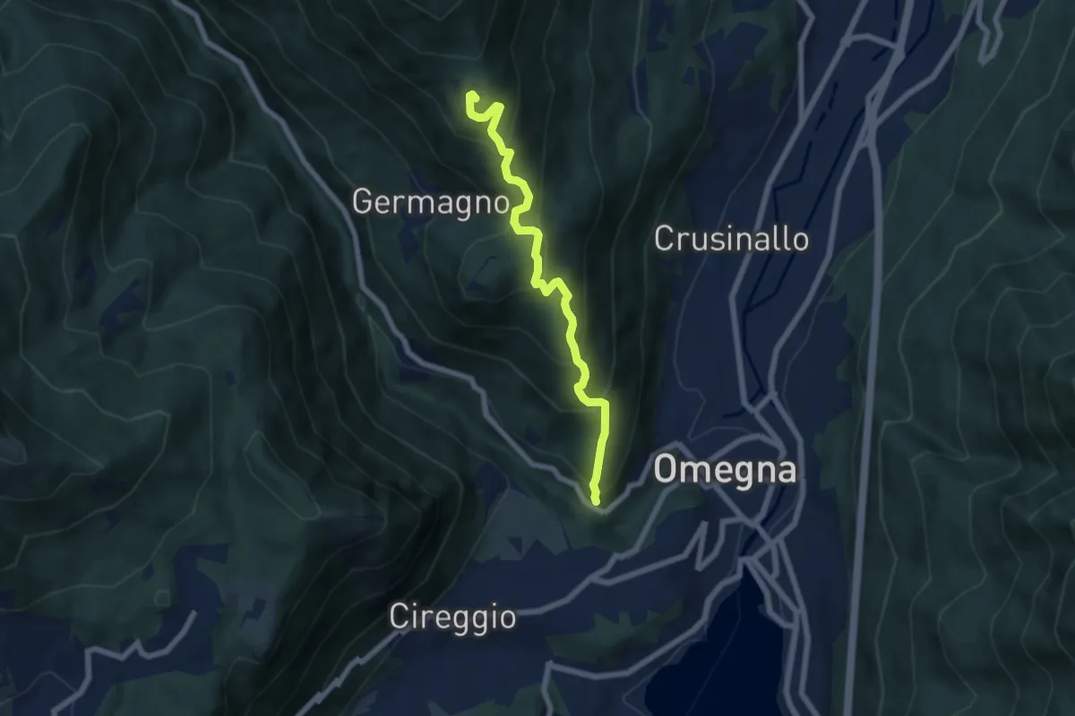
Medium · Trail
T18 - Omegna - Alpe Cardello
6.0 km · ↑ 531 m · 2 h 34 min · 2 km away
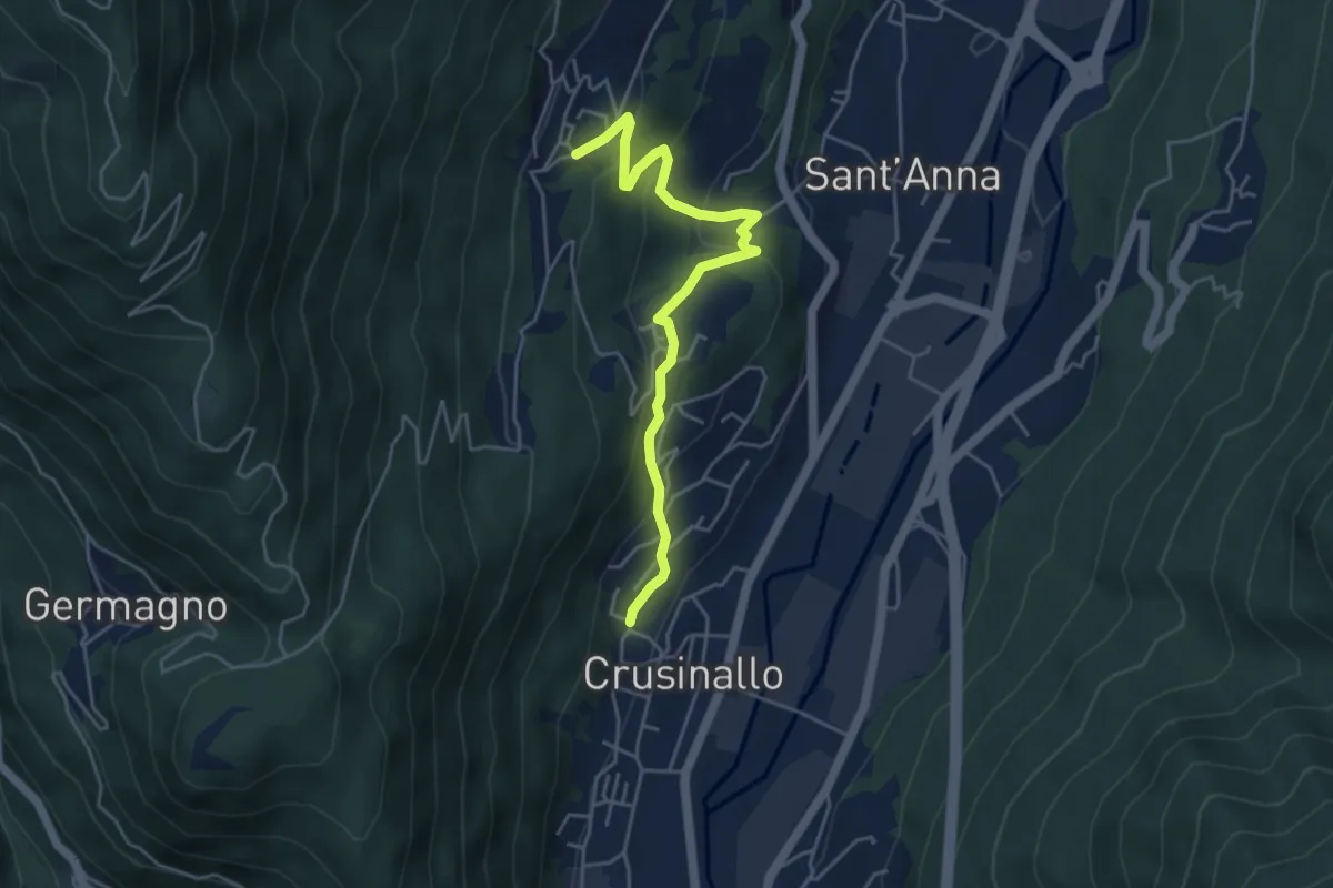
Easy · Trail
T00a - Crusinallo - Montebuglio
4.8 km · ↑ 287 m · 1 h 45 min · 3 km away
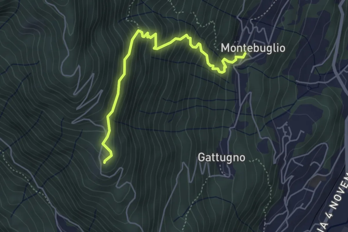
Medium · Trail
T16 - Montebuglio - AlpeCardello
4.8 km · ↑ 509 m · 2 h 13 min · 3 km away
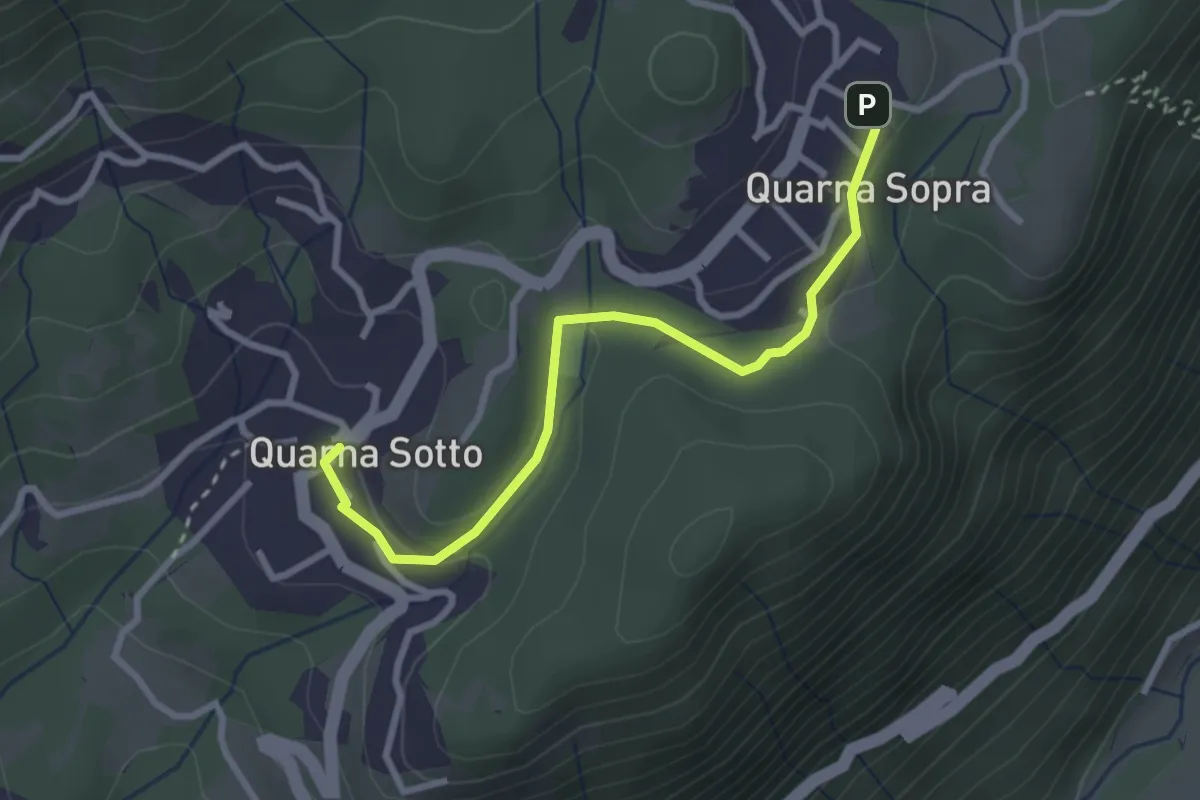
Easy · Trail
T20a - Quarna sotto - Quarna sopra
2.9 km · ↑ 54 m · 48 min · 3 km away
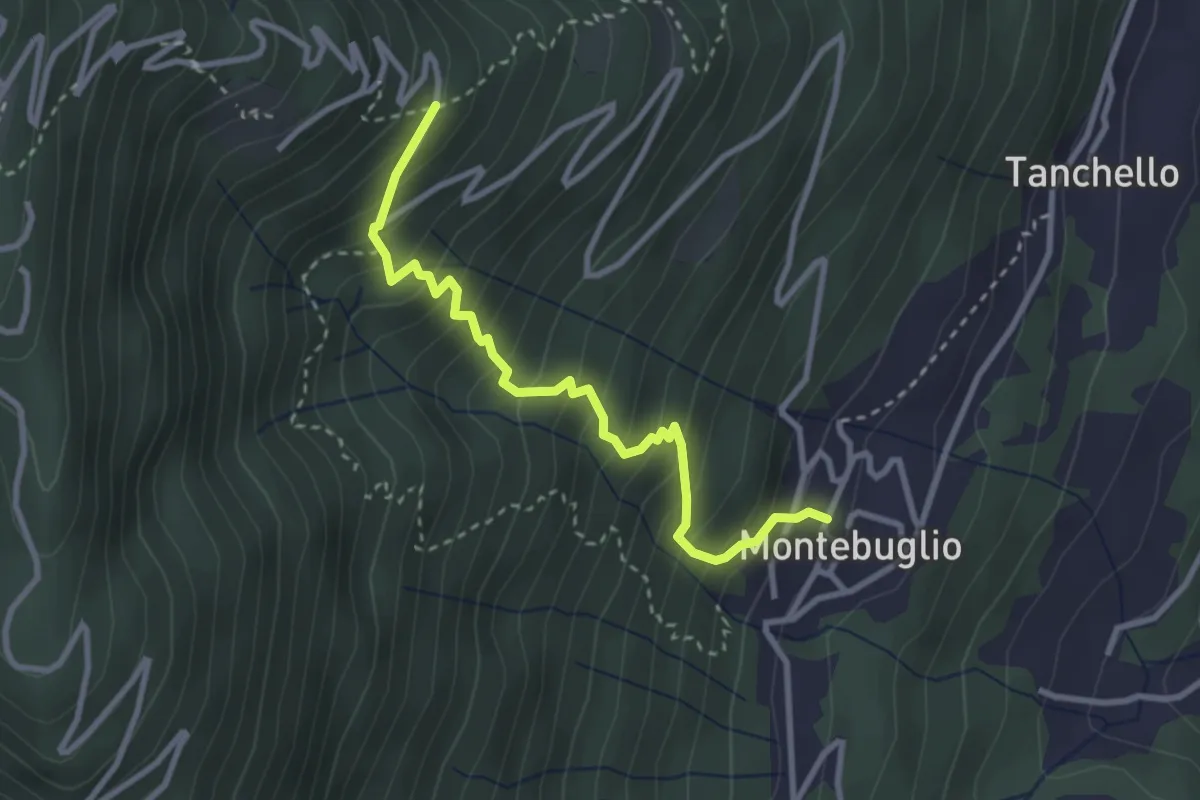
Medium · Trail
T14 - Montebuglio - Alpe Rusa
3.1 km · ↑ 404 m · 1 h 36 min · 3 km away
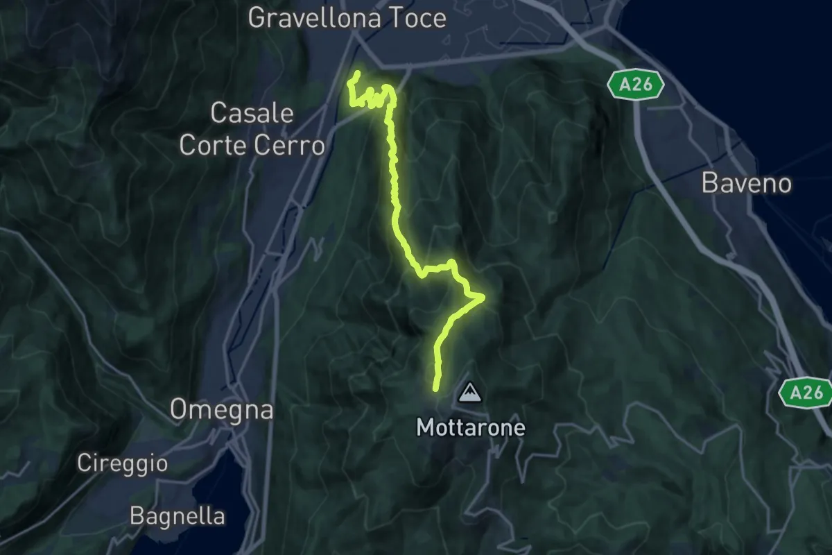
Demanding · Summit
VN1 - Gravellona - Mottarone
15.9 km · ↑ 1285 m · 6 h 33 min · 3 km away
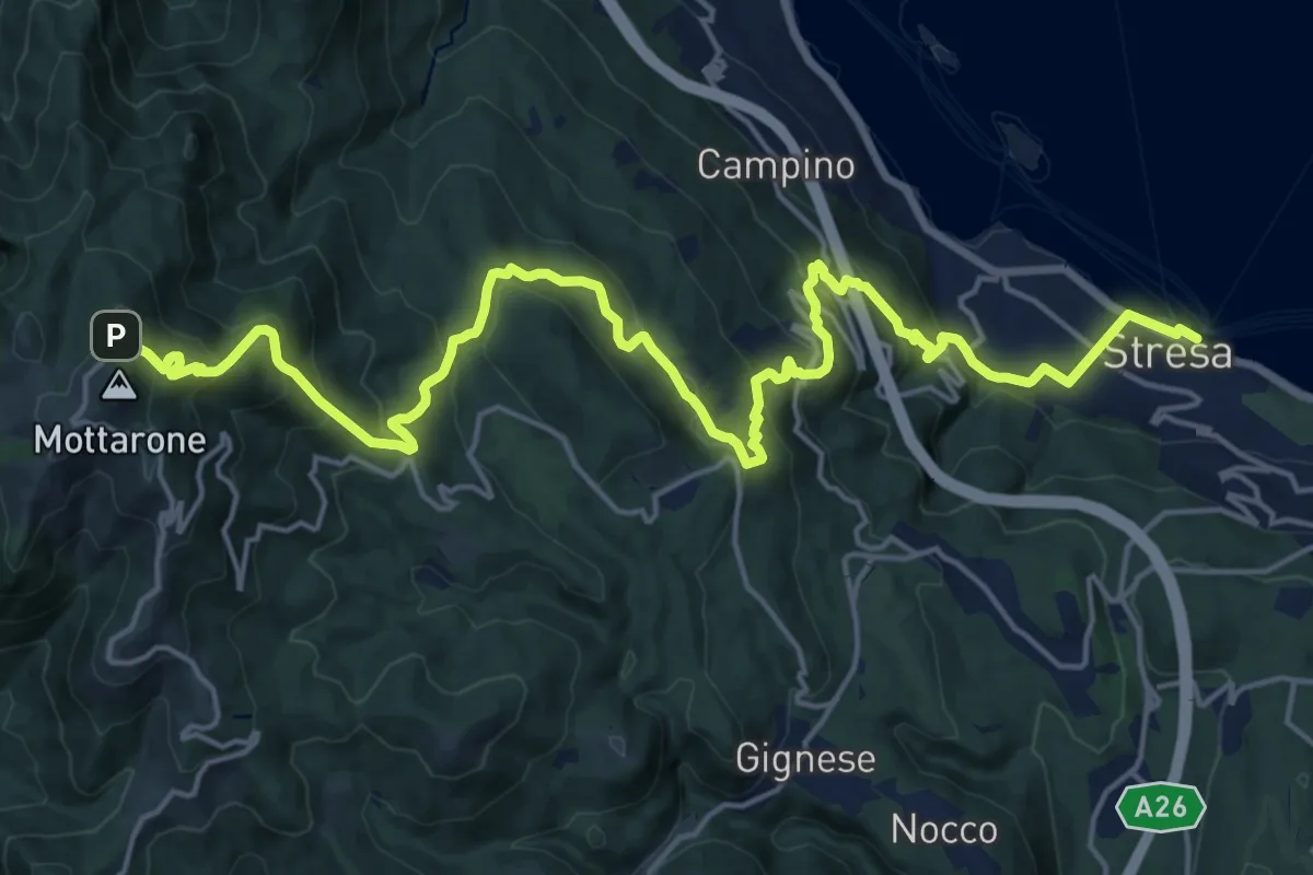
Medium · Trail
VL1 - Stresa - Mottarone
12.0 km · ↑ 75 m · 3 h 47 min · 4 km away
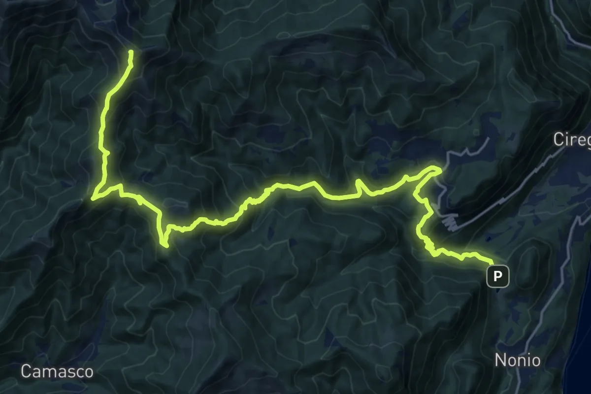
Demanding · Summit
T22 - Laghetti di Nonio - Monte Croce
25.0 km · ↑ 1493 m · 9 h 9 min · 4 km away
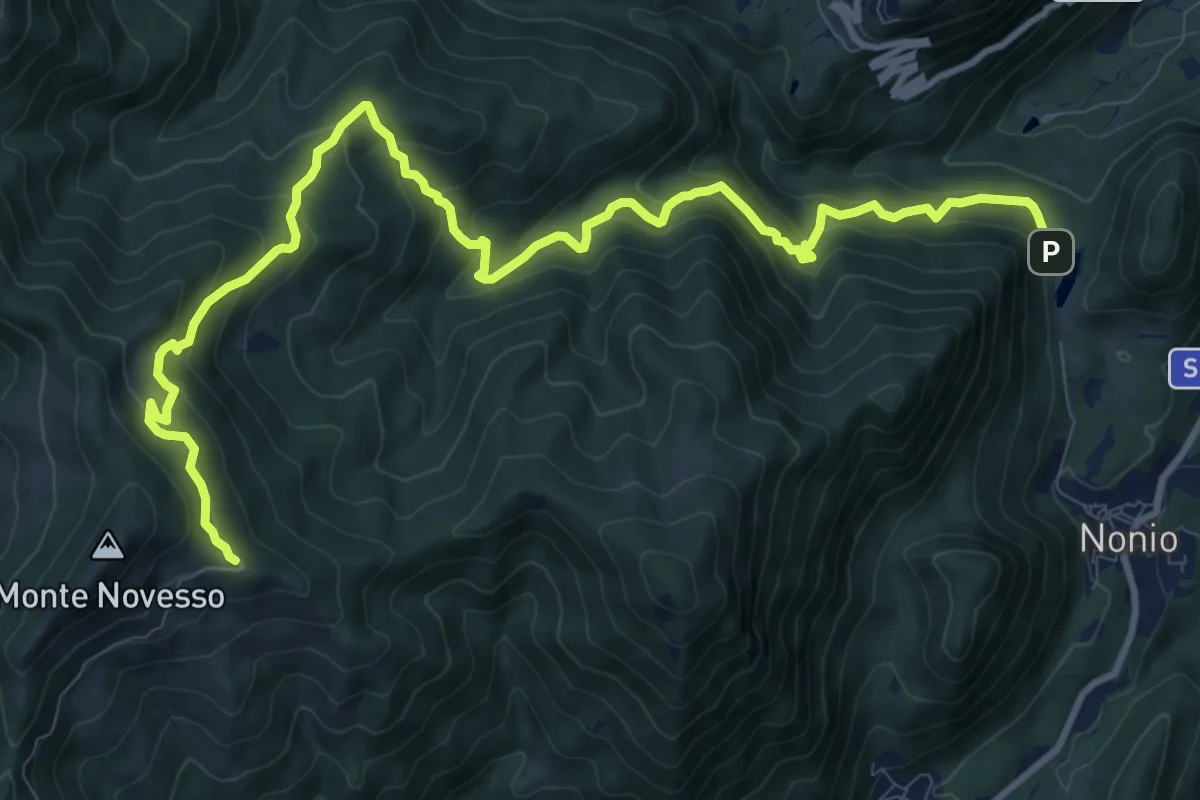
Demanding · Trail
T24 - Laghetti di Nonio - Monte Novesso
13.6 km · ↑ 962 m · 5 h 17 min · 4 km away
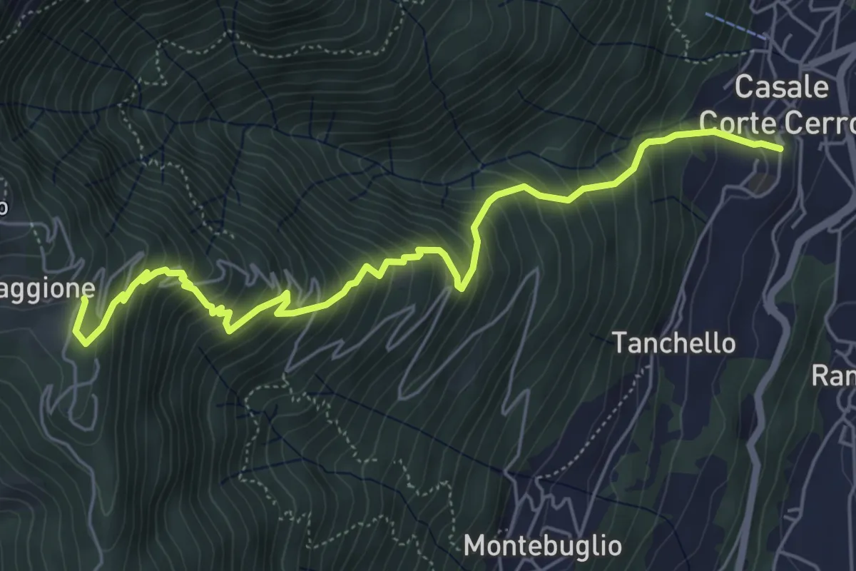
Medium · Trail
T12 - Casale Corte Cerro - Alpe Quaggione
6.4 km · ↑ 774 m · 3 h 11 min · 4 km away
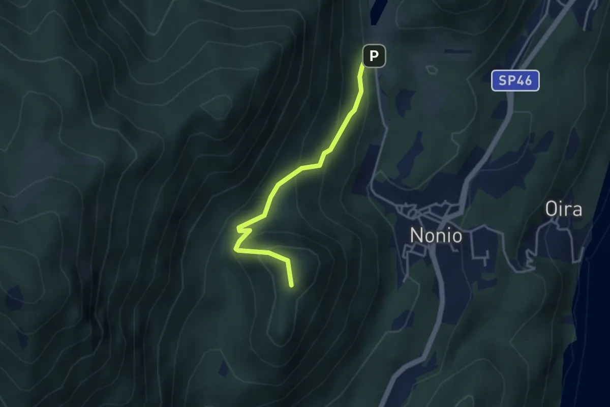
Medium · Summit
T26 - Nonio - Croce di Nonio
3.1 km · ↑ 237 m · 1 h 15 min · 4 km away
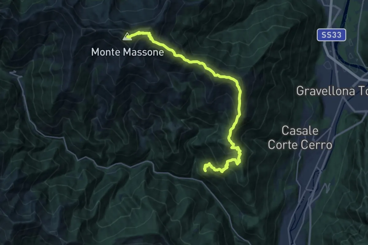
Demanding · Summit
Z02 - Loreglia - Monte Massone
21.3 km · ↑ 1970 m · 9 h 17 min · 4 km away
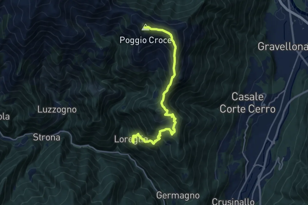
Demanding · Summit
Grata Gamul Trekking - Tappa 1
13.5 km · ↑ 1255 m · 5 h 55 min · 4 km away
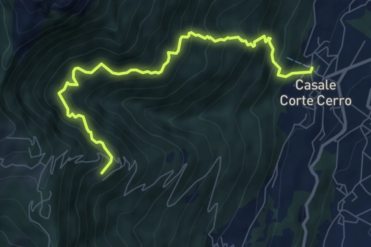
Demanding · Trail
T10 - Casale Corte Cerro - Alpe Rusa
7.5 km · ↑ 942 m · 3 h 49 min · 4 km away
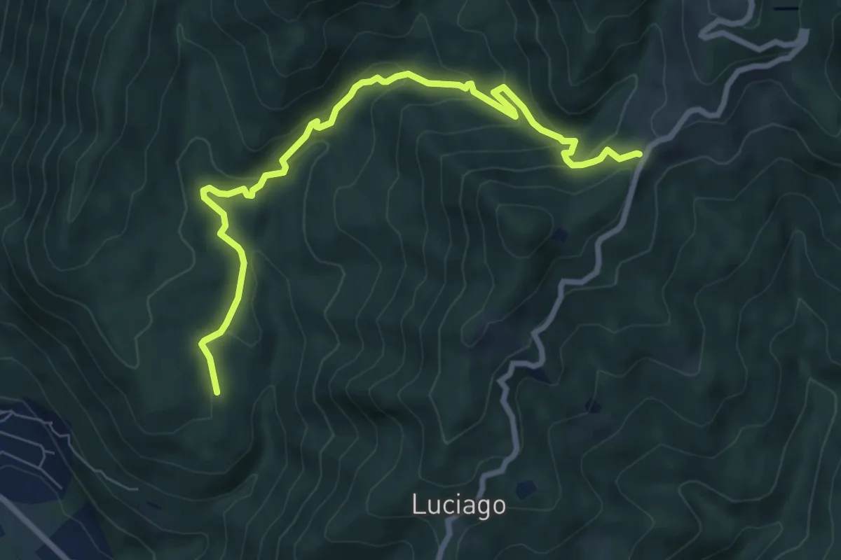
Medium · Trail
VP5 - Alpe Montepiano - Colle di Cortano
8.3 km · ↑ 450 m · 2 h 57 min · 4 km away
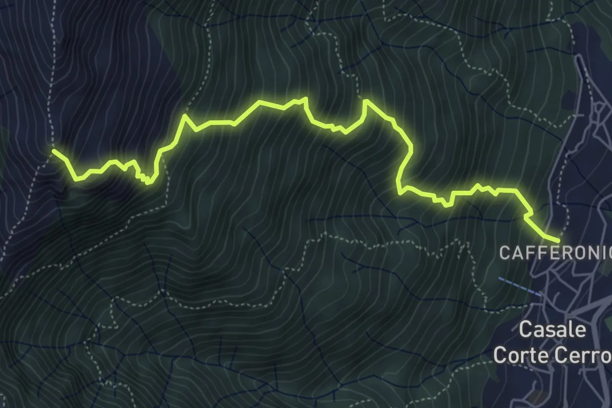
Demanding · Trail
T08 - Casale Corte Cerro - Bivio Z02
6.6 km · ↑ 1049 m · 3 h 50 min · 4 km away
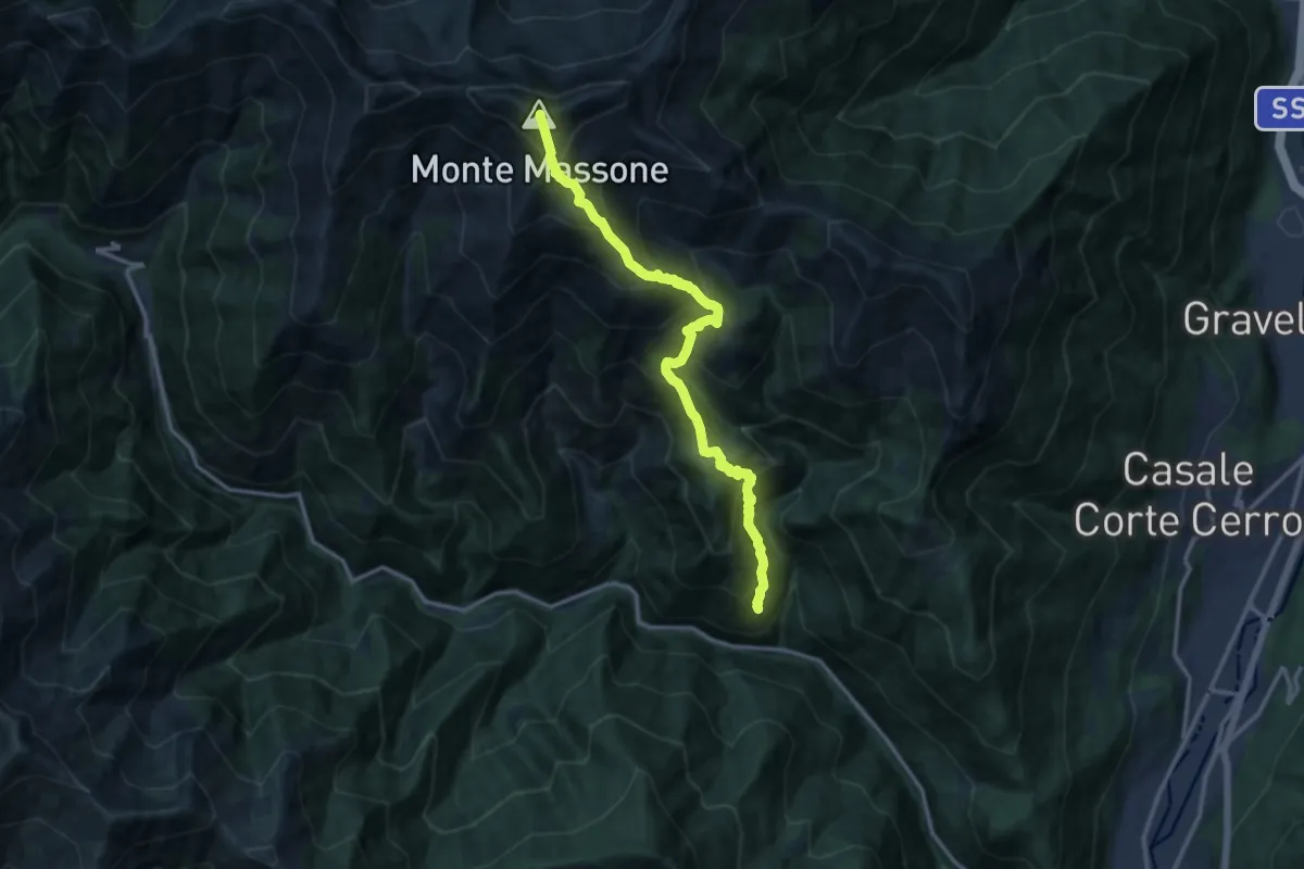
Demanding · Summit
Z04 - Chesio - Monte Massone
13.2 km · ↑ 1533 m · 6 h 26 min · 5 km away
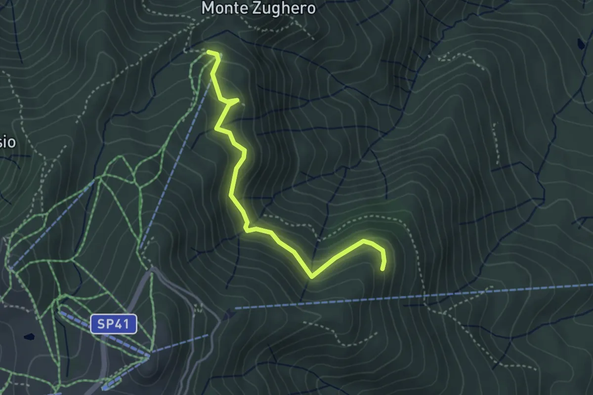
Medium · Cabin
VM3c - Alpe Nuovo - Bivio VL1
3.6 km · ↑ 263 m · 1 h 25 min · 5 km away
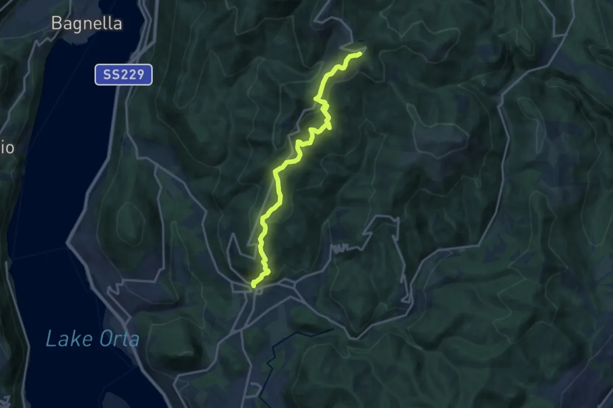
Medium · Trail
VR1 - Armeno - bivio V00 presso Alpe della Volpe
12.8 km · ↑ 754 m · 4 h 39 min · 5 km away
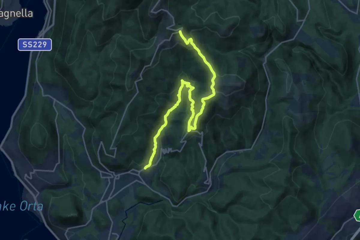
Demanding · Trail
VR3 - Armeno - Bivio V00
18.7 km · ↑ 862 m · 6 h 17 min · 5 km away
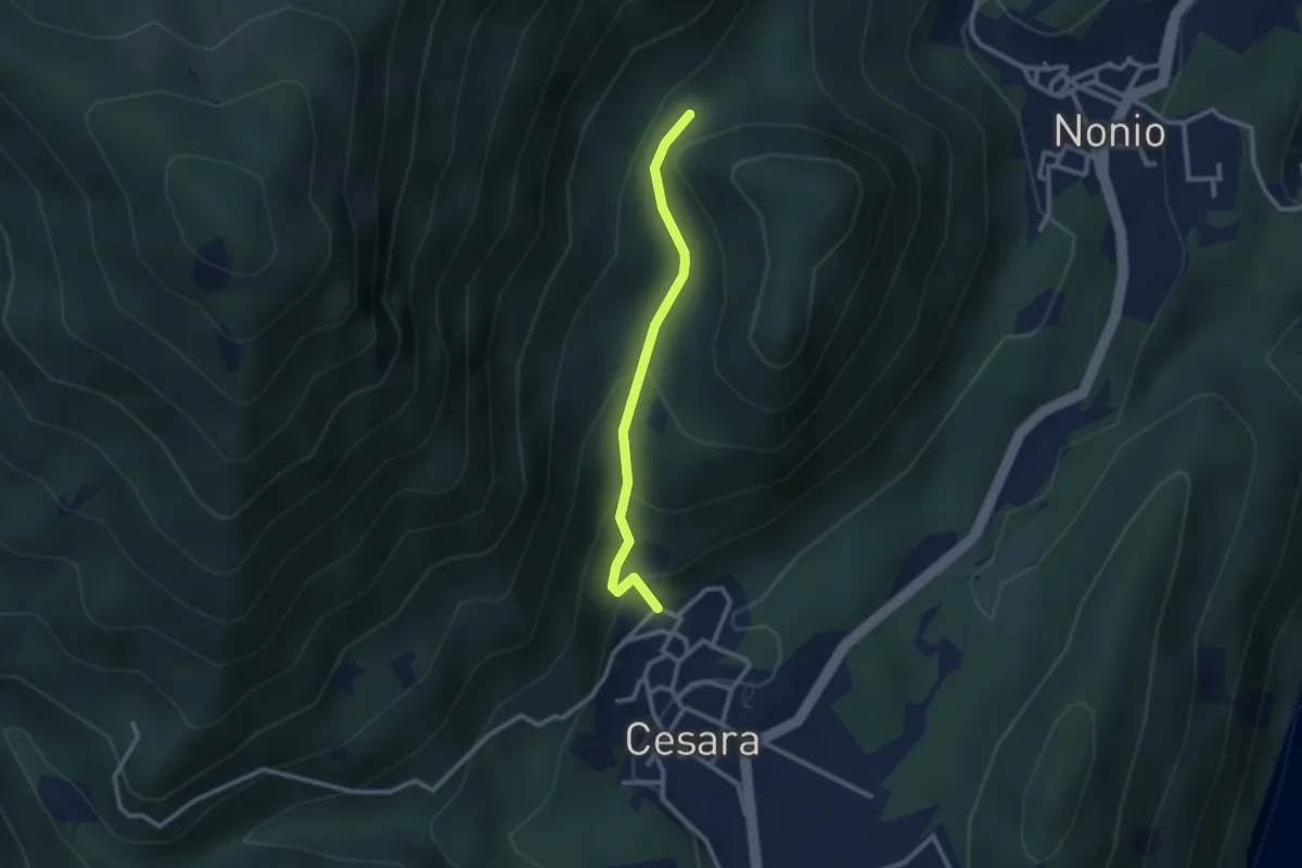
Easy · Trail
T28 - Cesara - Monte Castello (Il Pizzo)
2.4 km · ↑ 163 m · 55 min · 5 km away
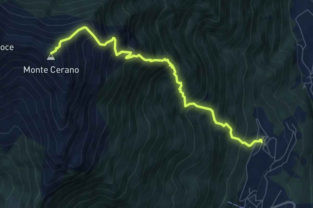
Demanding · Summit
T06 - Arzo - Monte Cerano
7.5 km · ↑ 1226 m · 4 h 25 min · 5 km away
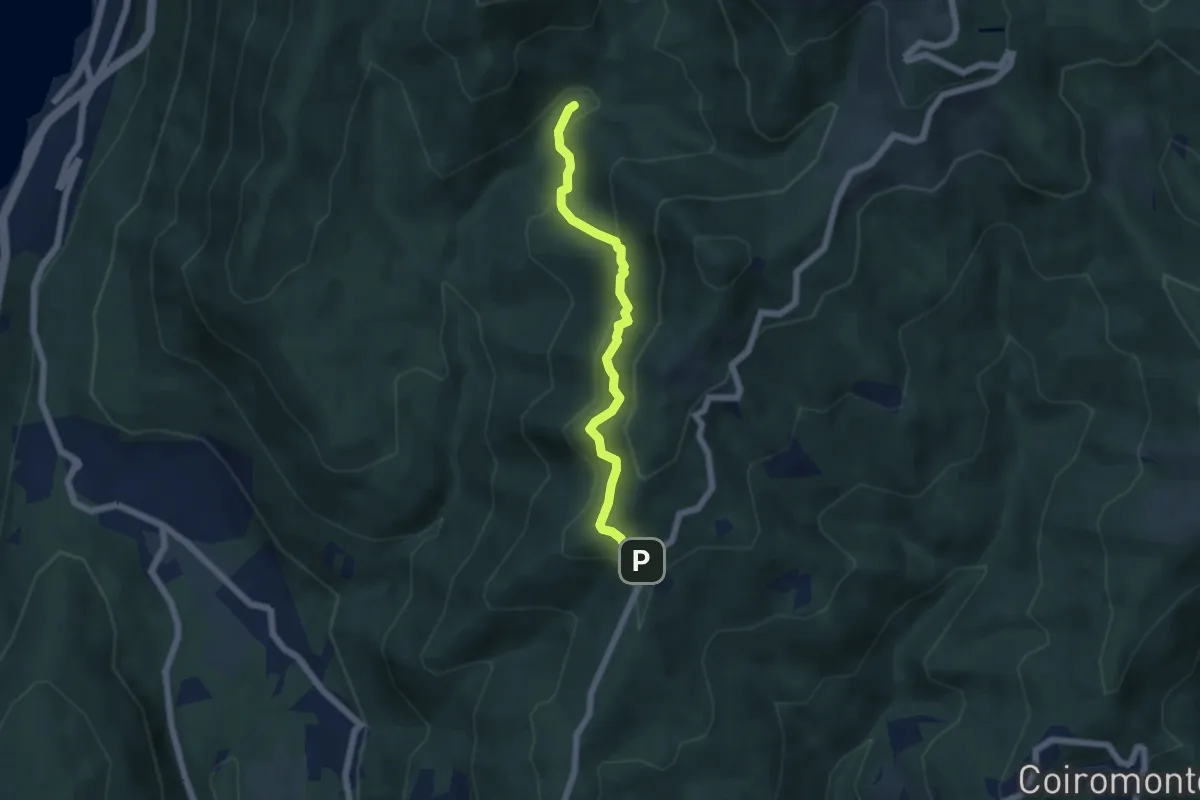
Medium · Trail
VP6 - Bivio VP5 - Madonna di Luciago
5.1 km · ↑ 338 m · 1 h 57 min · 5 km away
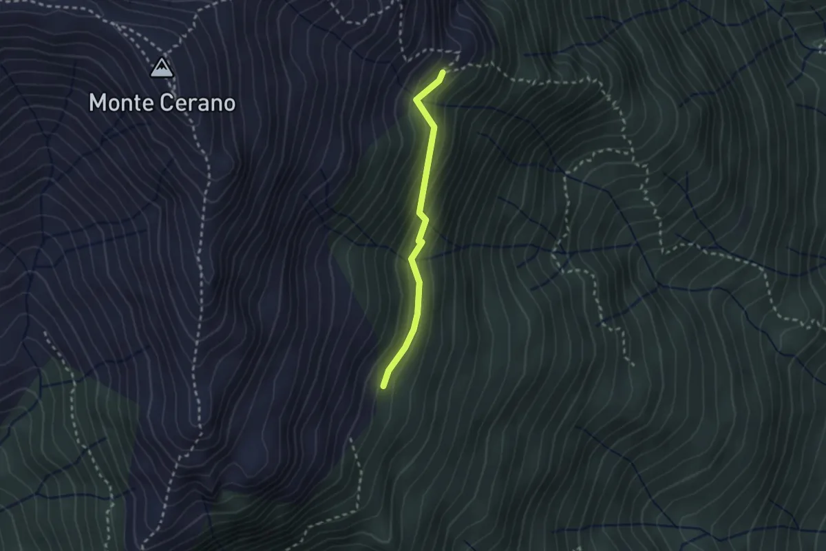
Medium · Trail
T06b - Alpe Pianelle - Alpe Colla
2.1 km · ↑ 164 m · 51 min · 5 km away
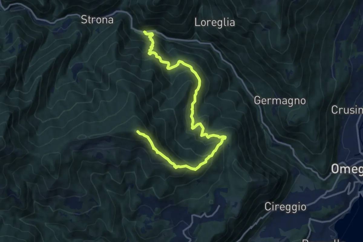
Demanding · Summit
Z01 - Strona - Monte Mazzoccone
13.7 km · ↑ 1306 m · 6 h 4 min · 5 km away
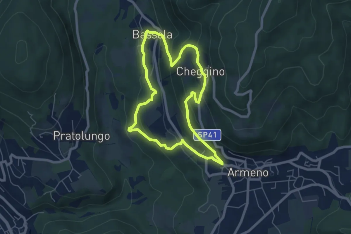
Easy · Trail
Armeno, anello Frazioni
4.8 km · ↑ 286 m · 1 h 50 min · 5 km away
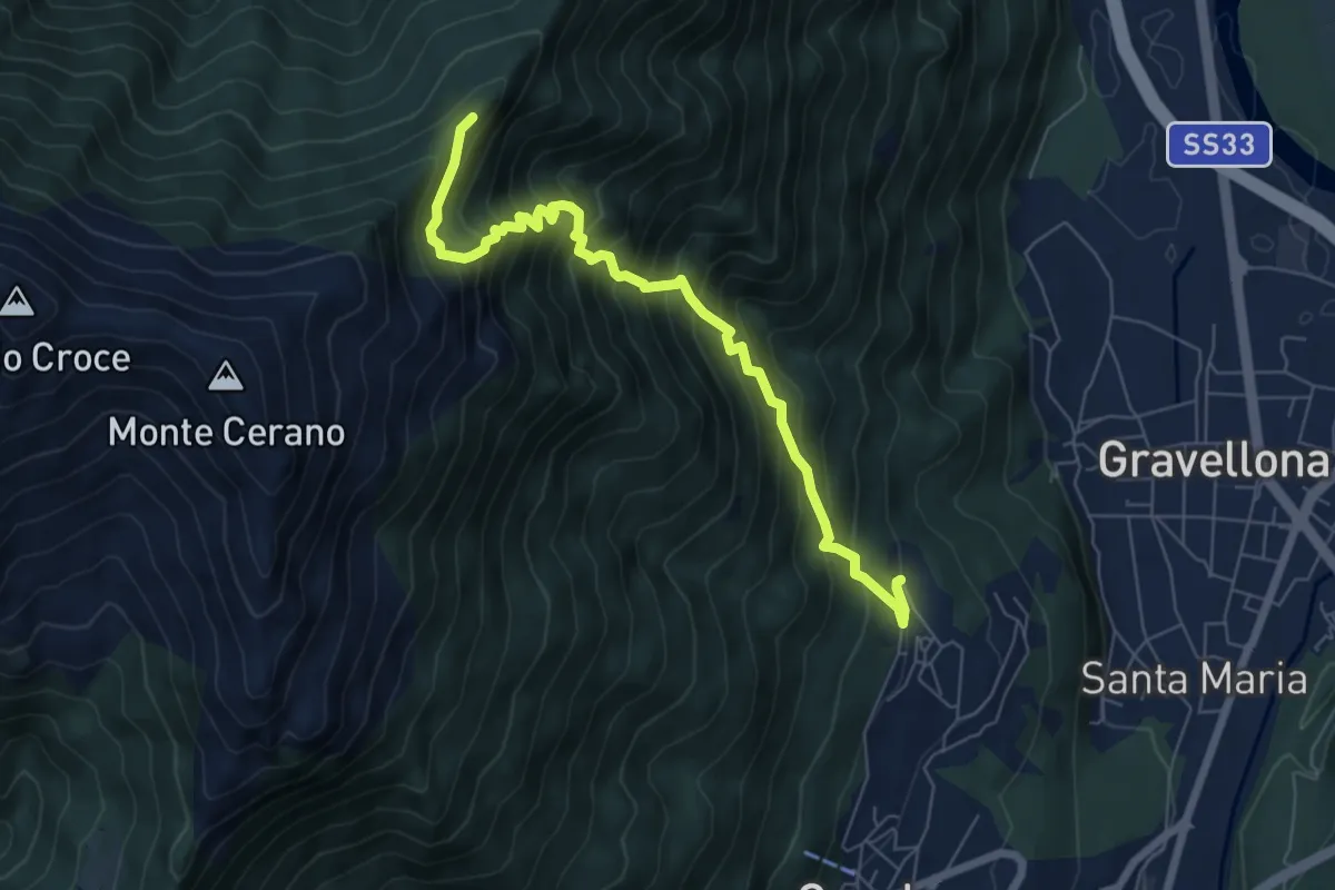
Demanding · Trail
T04 - Arzo - Sasso Supino
7.1 km · ↑ 939 m · 3 h 42 min · 5 km away
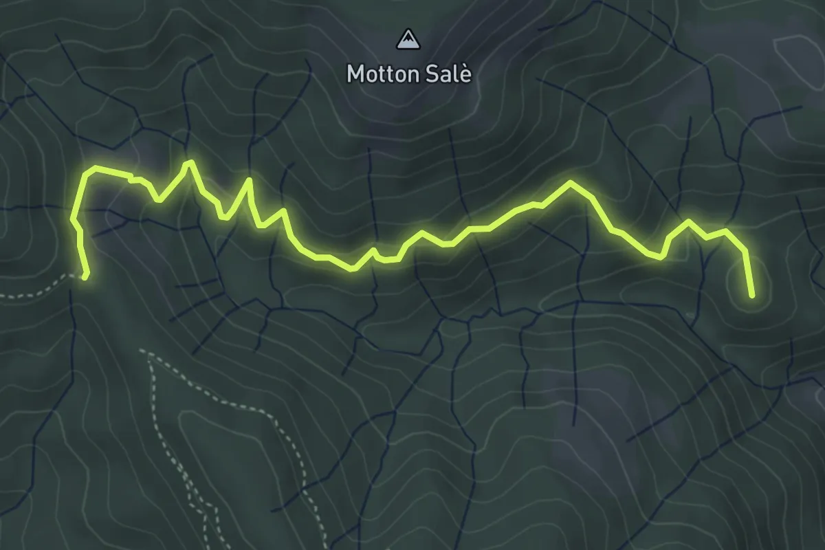
Medium · Summit
VR3a - Bivio VR3 - Bivio V00
5.6 km · ↑ 316 m · 2 h · 5 km away
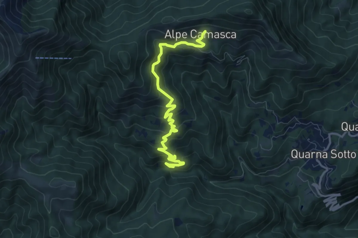
Medium · Trail
T20b - Bivio T22 - Alpe Camasca
9.1 km · ↑ 516 m · 3 h 16 min · 6 km away
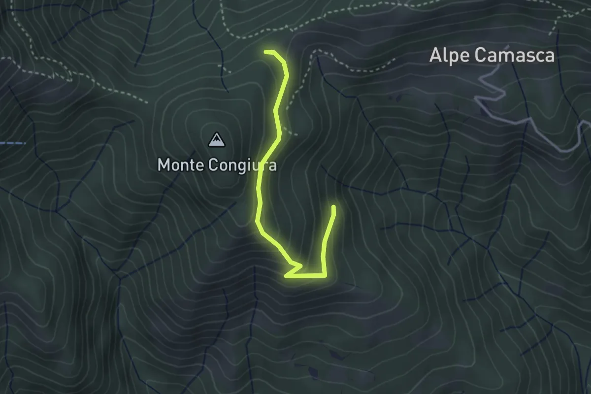
Demanding · Trail
T20c - Bivio T20b - Co di Stobj
2.9 km · ↑ 194 m · 1 h 7 min · 6 km away
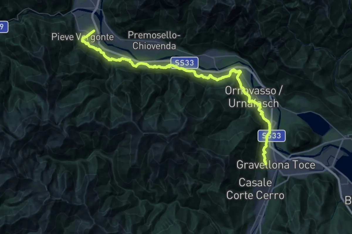
Demanding · Trail
A00a - Via Francisca (seconda sezione)
22.8 km · ↑ 536 m · 6 h 52 min · 6 km away
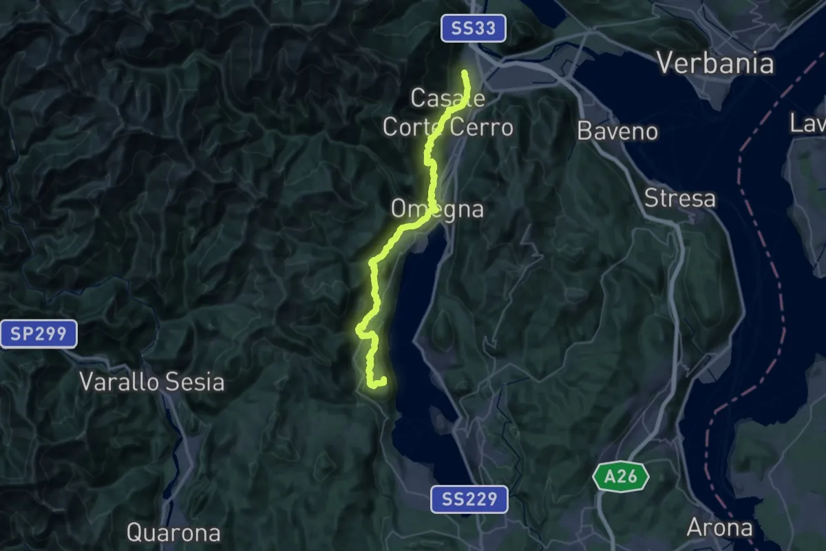
Demanding · Summit
T00 - Gravellona Toce - Pella
38.1 km · ↑ 1434 m · 12 h 7 min · 6 km away
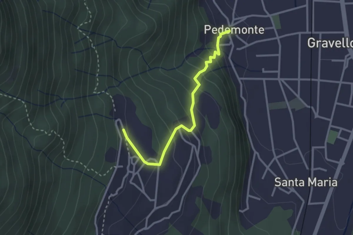
Easy · Trail
T02a - Pedemonte - Arzo
2.6 km · ↑ 207 m · 1 h 4 min · 6 km away
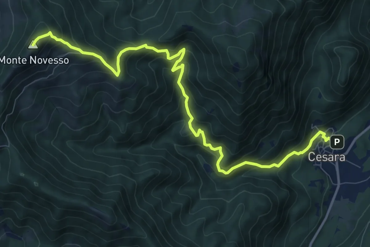
Demanding · Summit
T30 - Cesara - Monte Novesso
11.7 km · ↑ 993 m · 4 h 55 min · 6 km away
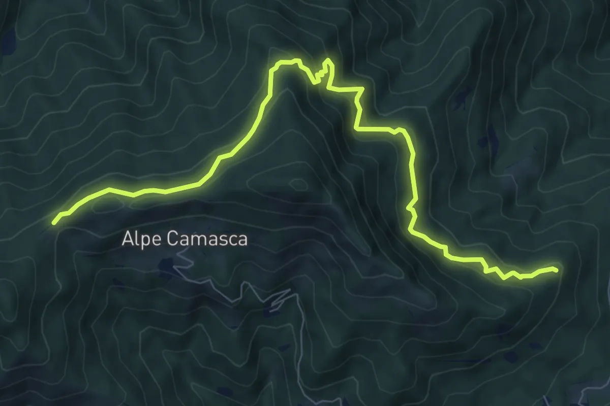
Medium · Trail
Z01b - er del Fi - Cò di Stobi
9.8 km · ↑ 698 m · 3 h 50 min · 6 km away
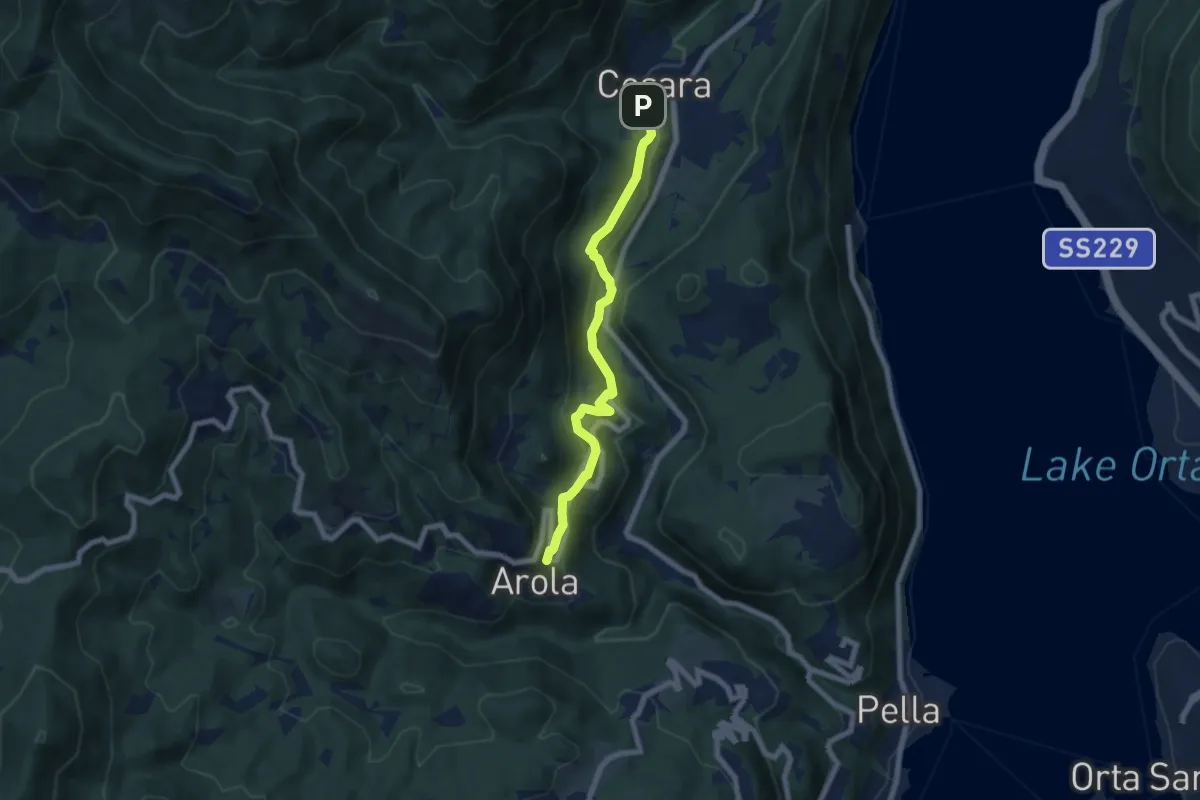
Medium · Trail
T32a - Cesara - Arola
6.7 km · ↑ 337 m · 2 h 19 min · 6 km away
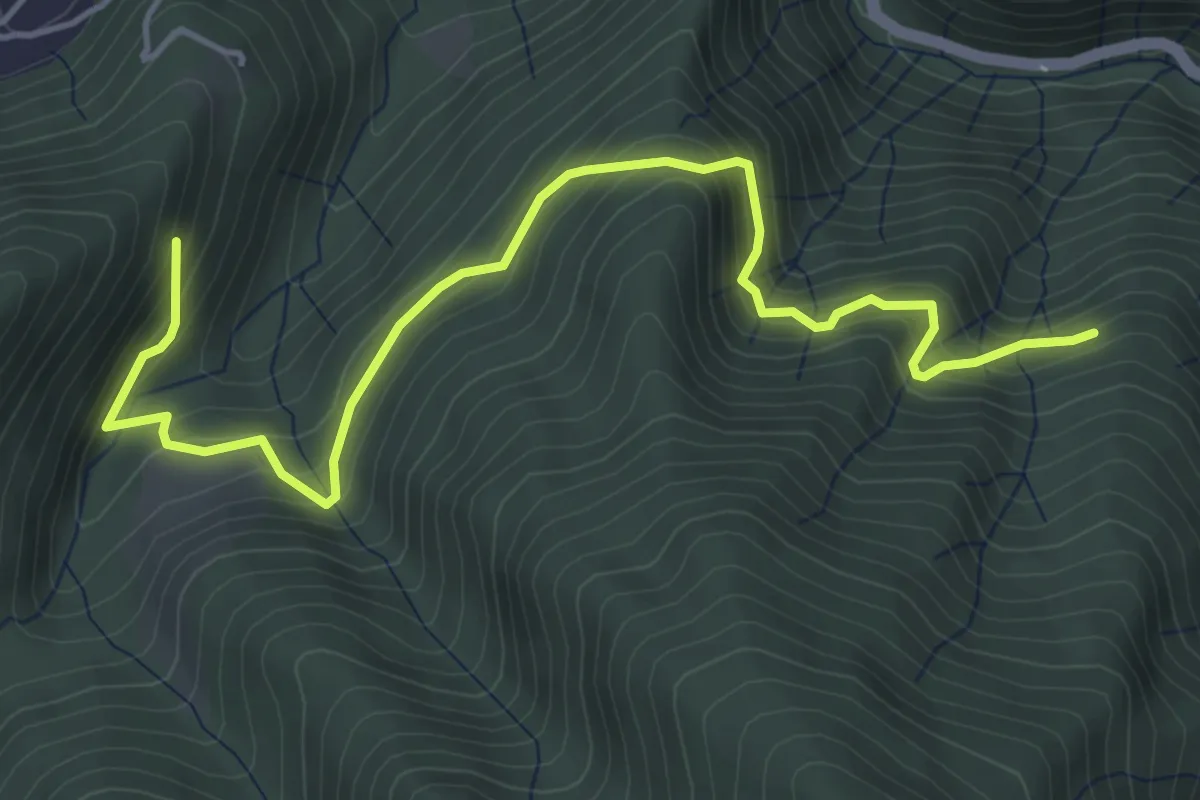
Medium · Trail
Z01a - Fornero - Bivio Z01
5.6 km · ↑ 534 m · 2 h 28 min · 6 km away