Trails near Omegna
325 hikes starting within 15 km, nearest first.
Nearest first, page 2 of 7
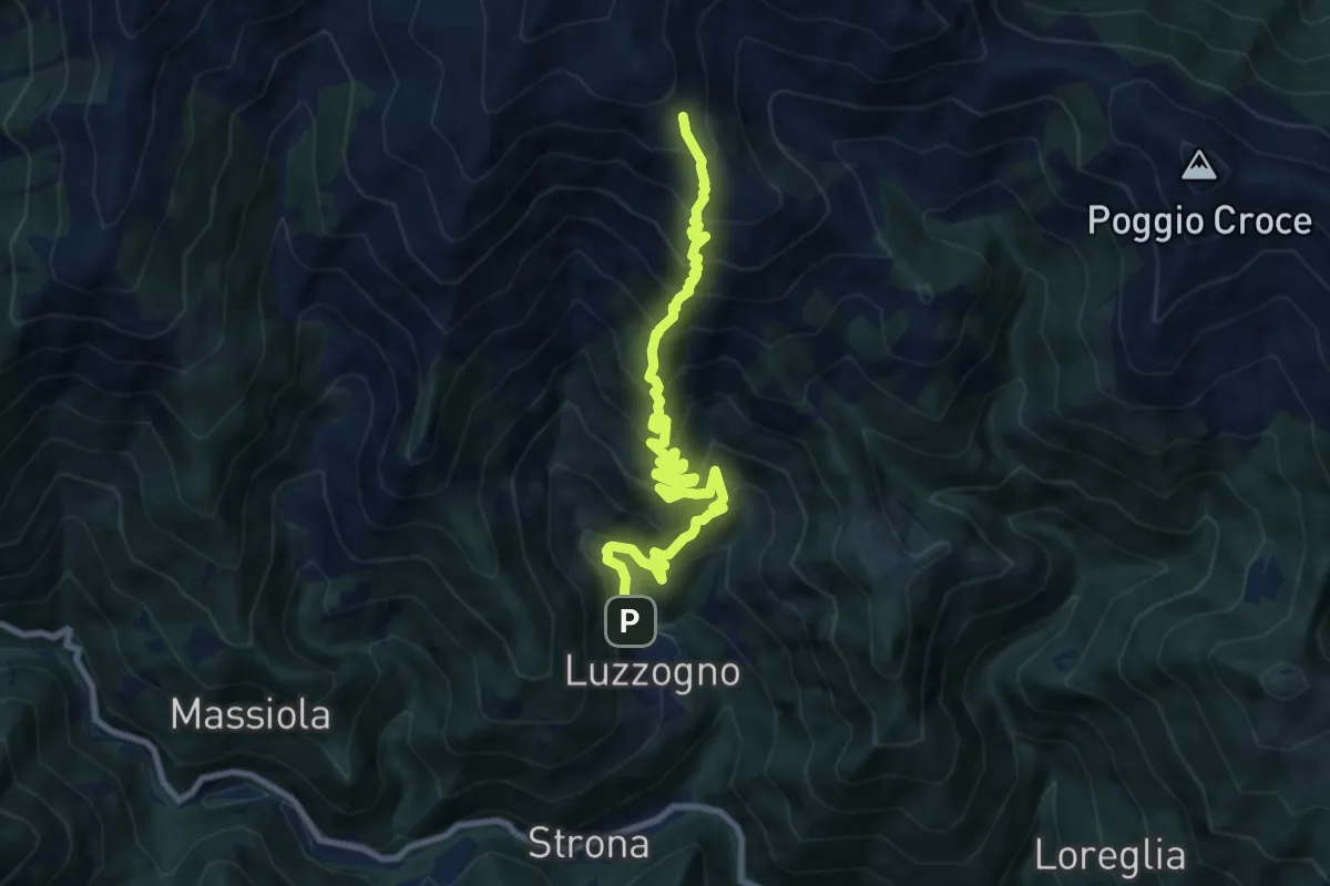
Demanding · Trail
Z04a - Luzzogno - Alpe Campallero
9.8 km · ↑ 1152 m · 4 h 48 min · 6 km away
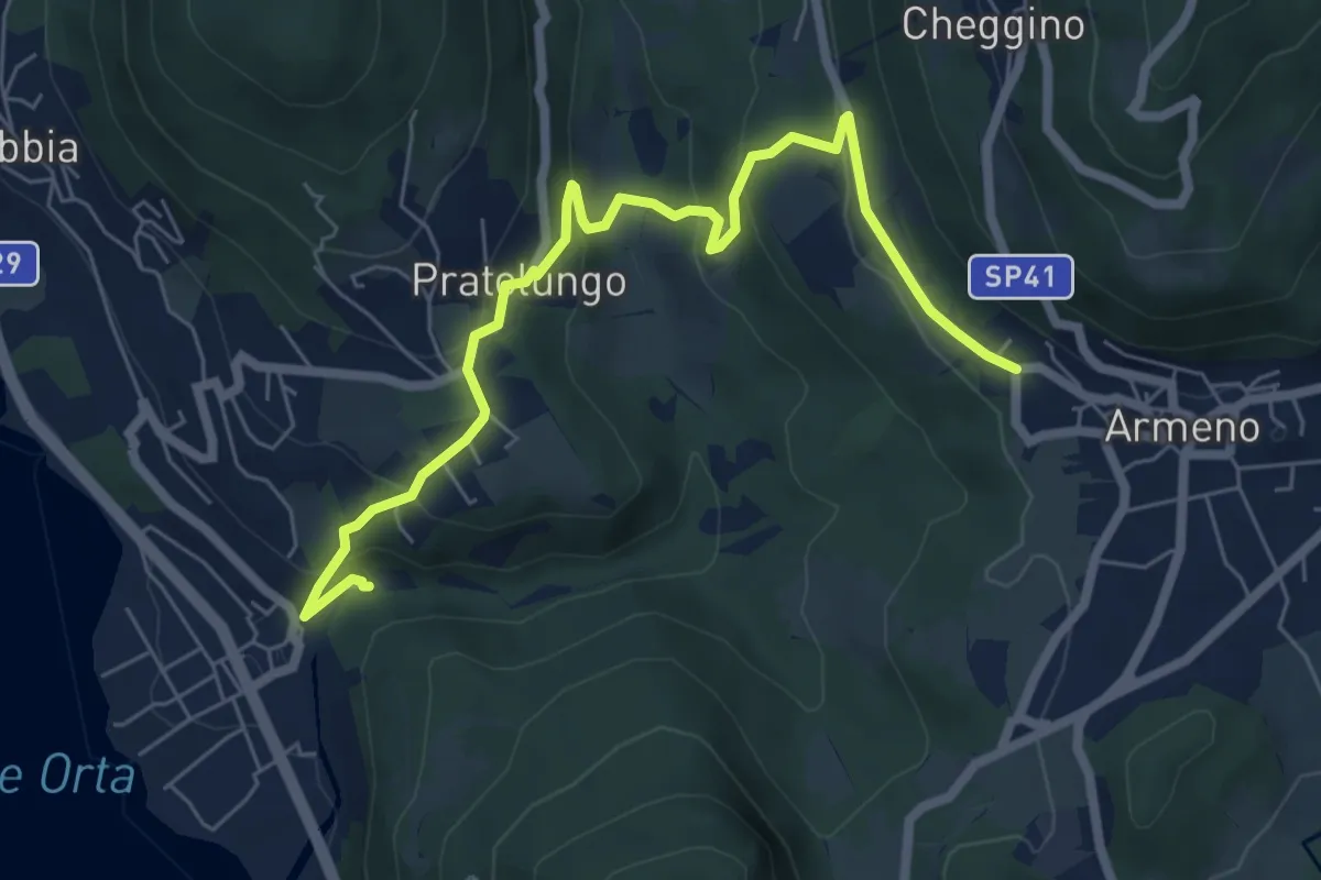
Medium · Trail
VP9 - Pettenasco - Armeno
7.4 km · ↑ 395 m · 2 h 36 min · 7 km away
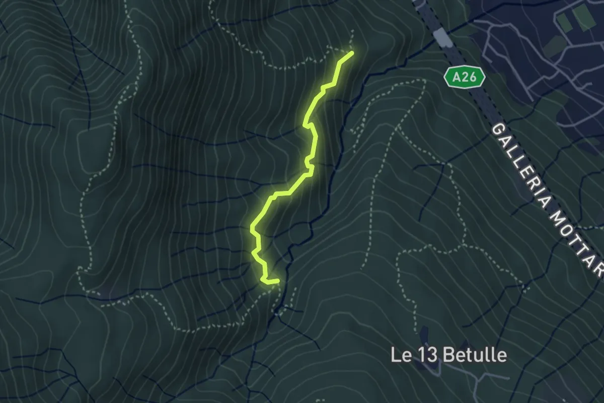
Demanding · Trail
VM3a - Bivio VM3 - Bivio VM2
2.8 km · ↑ 281 m · 1 h 17 min · 7 km away
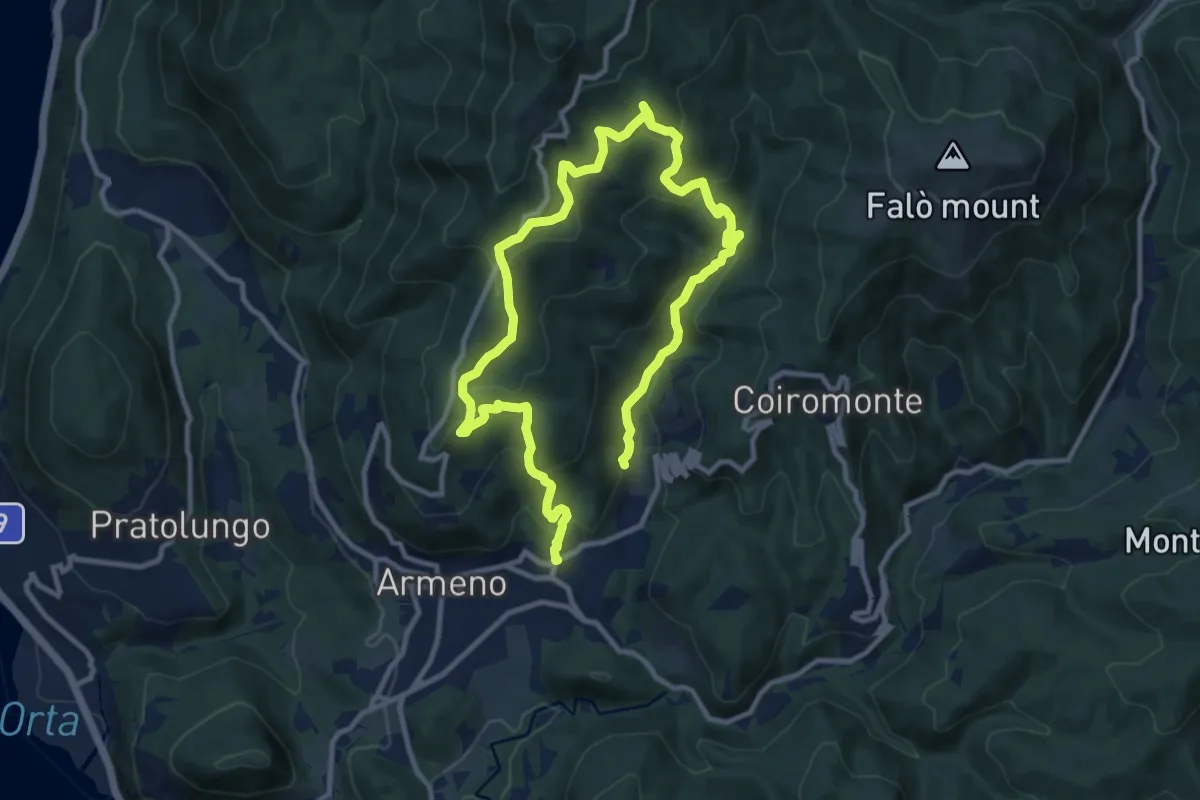
Medium · Trail
Armeno, anello Luciago
8.6 km · ↑ 486 m · 3 h 13 min · 7 km away
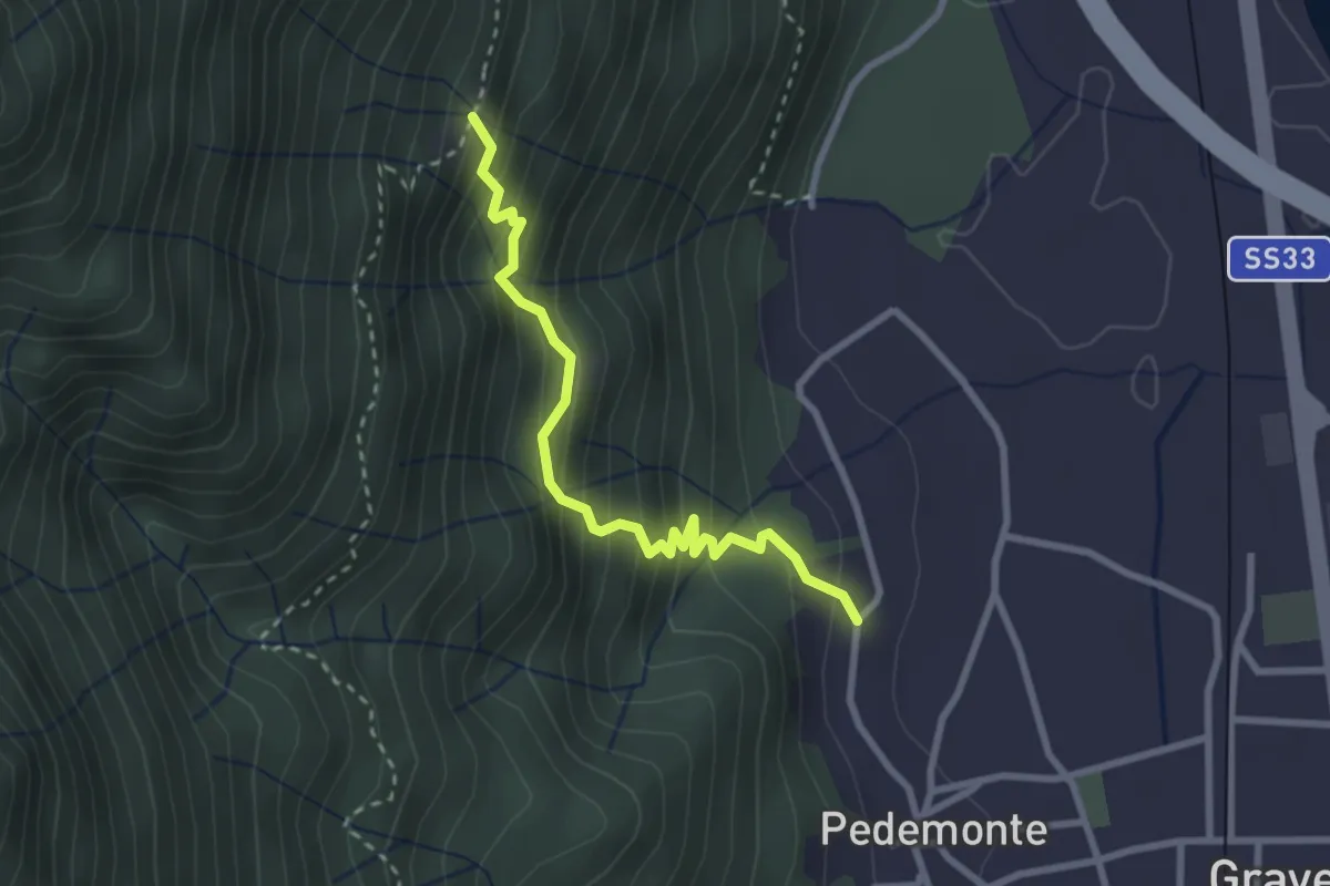
Medium · Trail
T02b - Pedemonte - Alpe Grandi
2.8 km · ↑ 316 m · 1 h 20 min · 7 km away
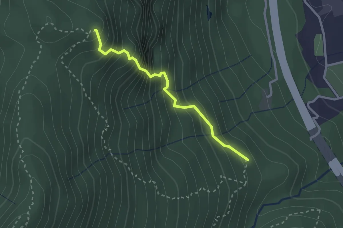
Medium · Summit
VM3b - Bivio VM3 - Croce Monte Camoscio
2.1 km · ↑ 406 m · 1 h 23 min · 7 km away
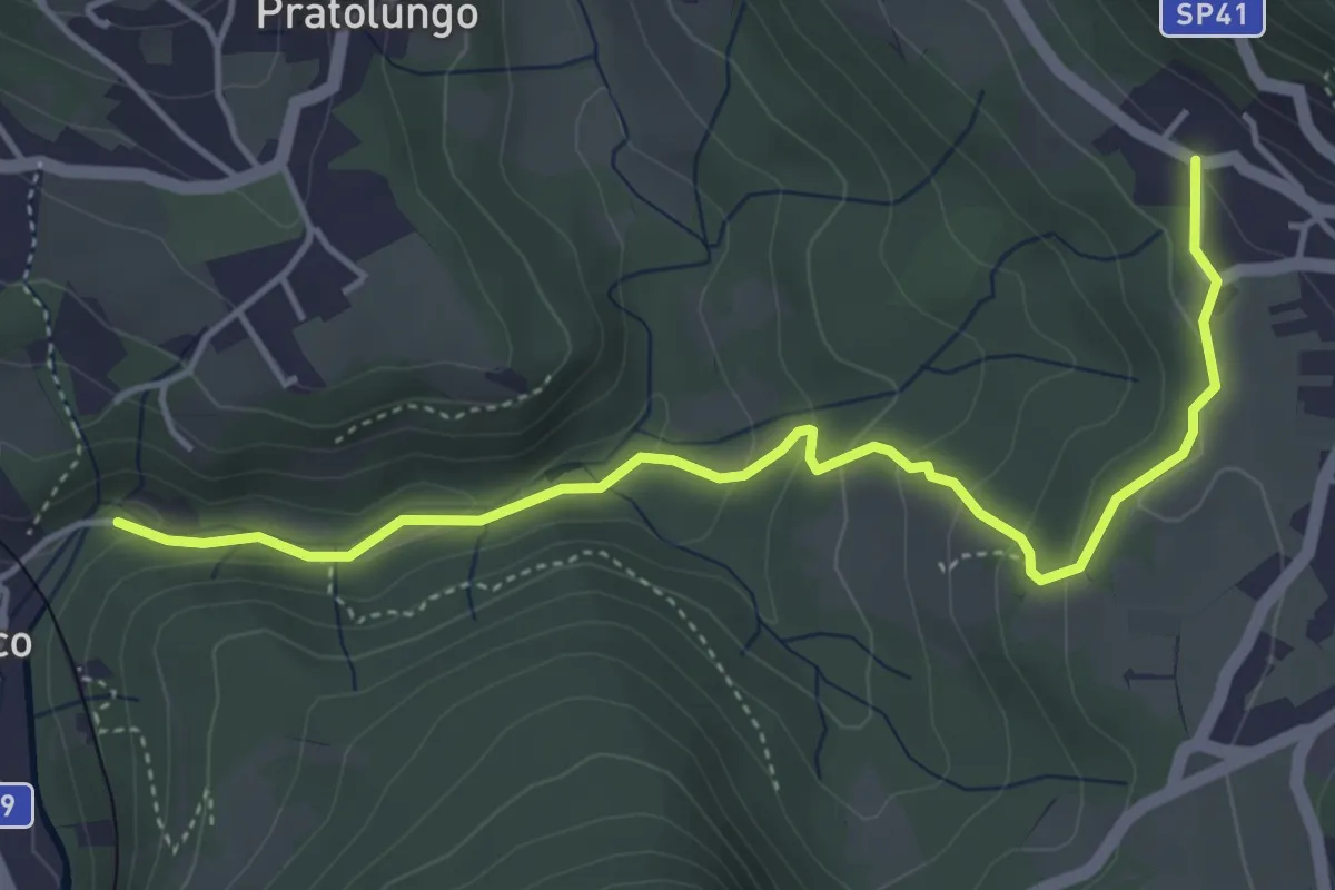
Easy · Trail
VP9a - Pettenasco - Armeno
4.9 km · ↑ 193 m · 1 h 34 min · 7 km away
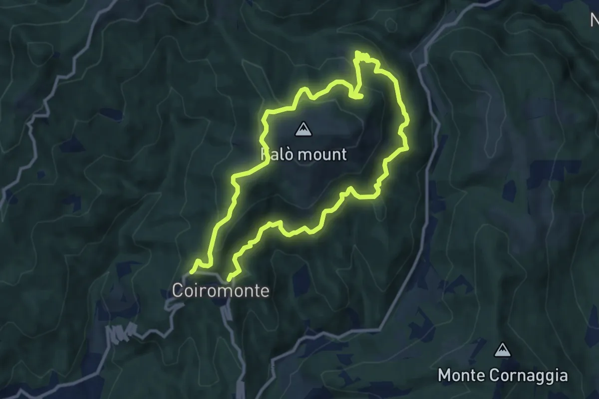
Medium · Summit
Armeno, anello Falò
8.3 km · ↑ 475 m · 3 h 6 min · 7 km away
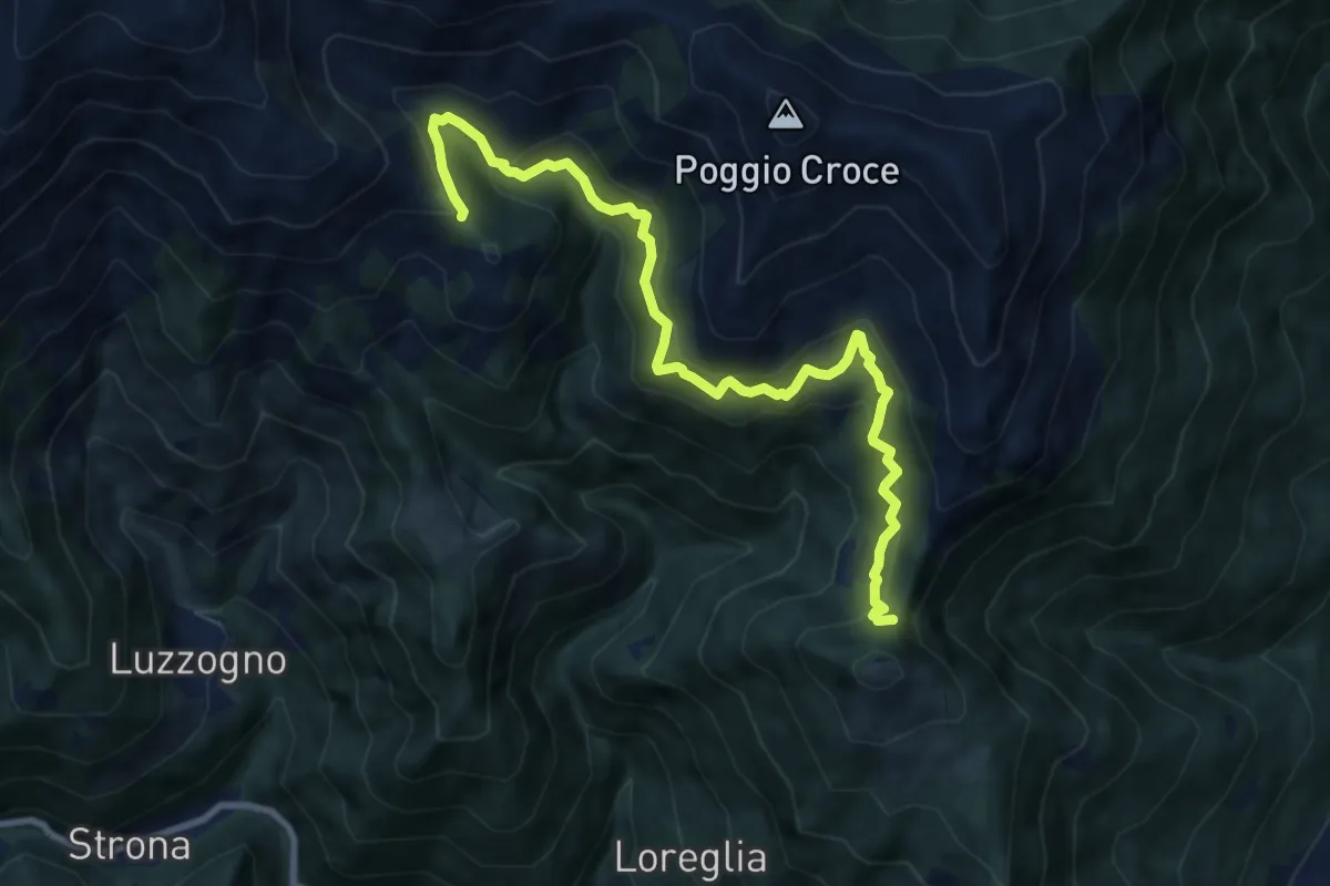
Demanding · Trail
Z02a - Colle Vallessa - Bocchetta Frera
10.0 km · ↑ 807 m · 4 h 6 min · 7 km away
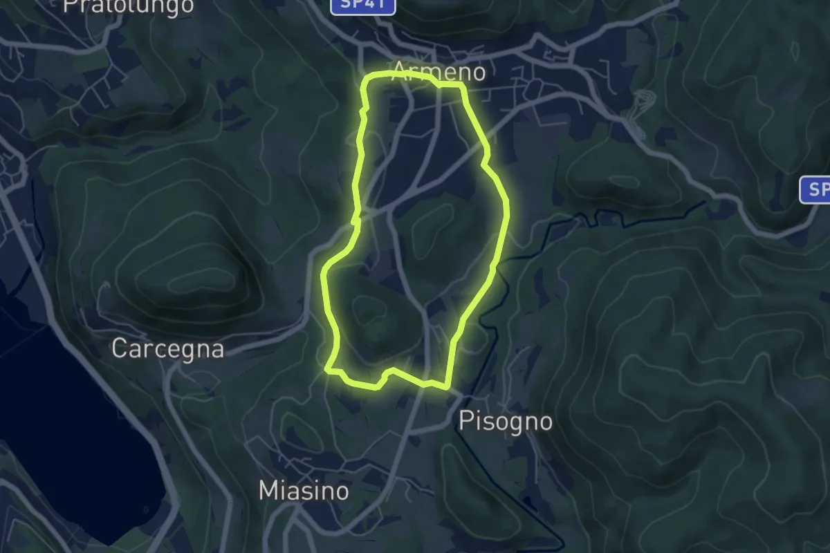
Easy · Trail
Armeno, anello Piscina
4.8 km · ↑ 105 m · 1 h 26 min · 7 km away
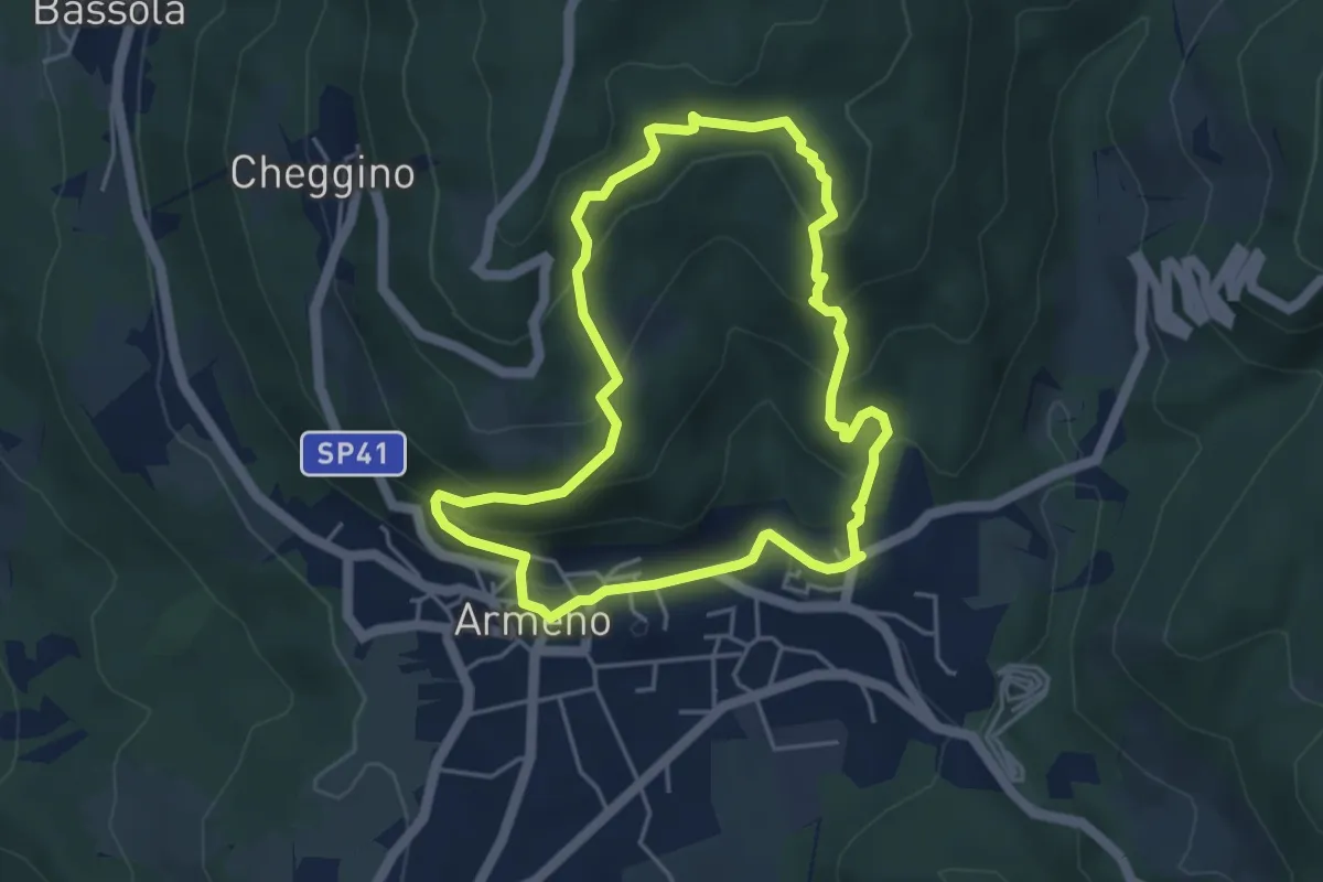
Easy · Trail
Armeno, anello Campei
4.3 km · ↑ 255 m · 1 h 38 min · 7 km away
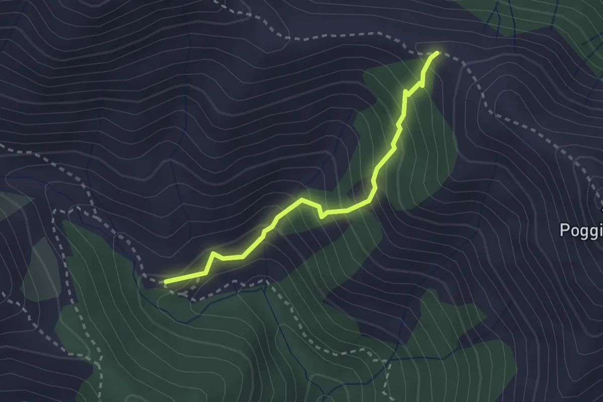
Medium · Trail
Z02b - Alpe Bagnone - Bocchetta di Bagnone
2.4 km · ↑ 298 m · 1 h 12 min · 7 km away
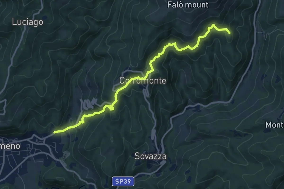
Medium · Summit
VR4 - Armeno - Gignese
9.6 km · ↑ 658 m · 3 h 41 min · 7 km away
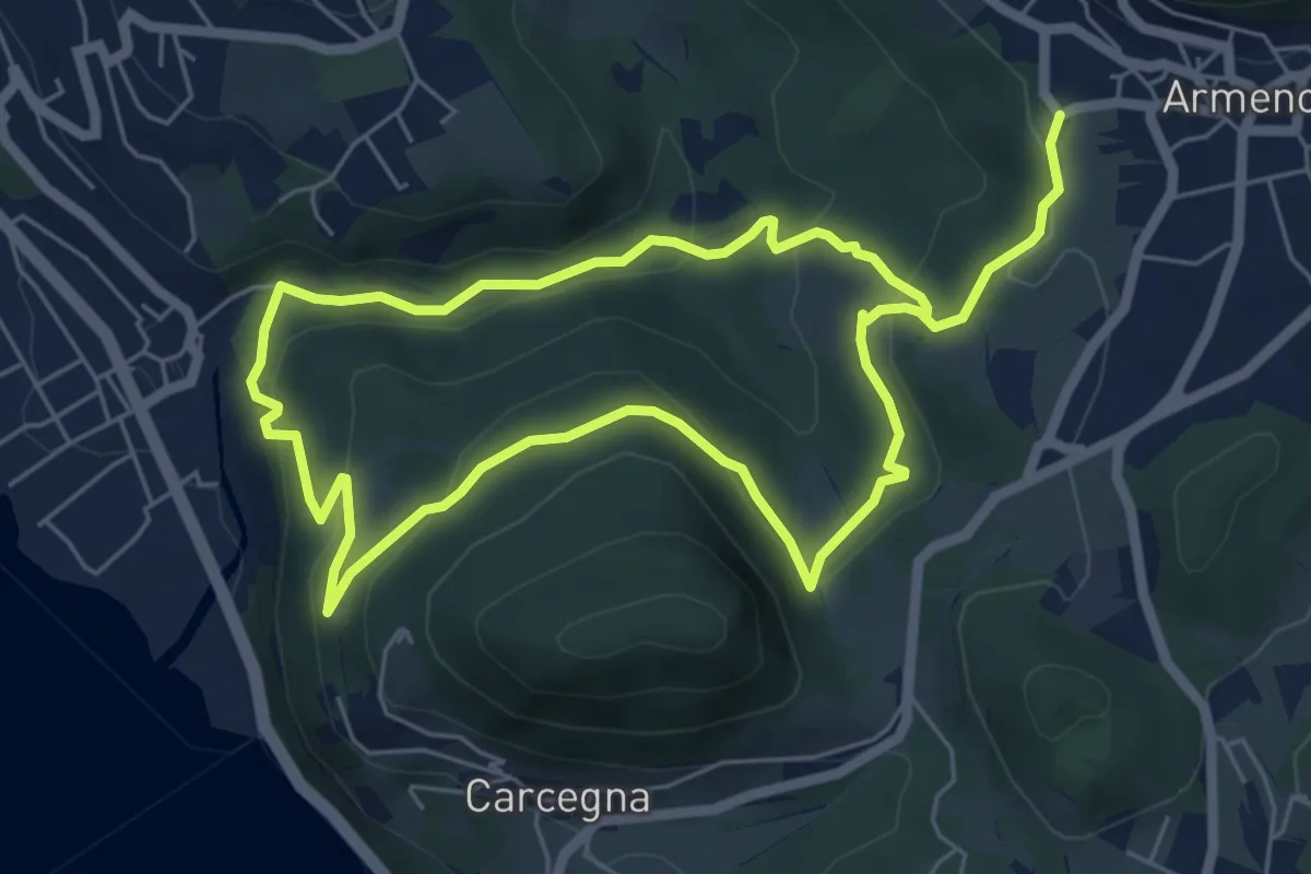
Easy · Trail
Armeno, anello Rusa
5.5 km · ↑ 267 m · 1 h 57 min · 7 km away
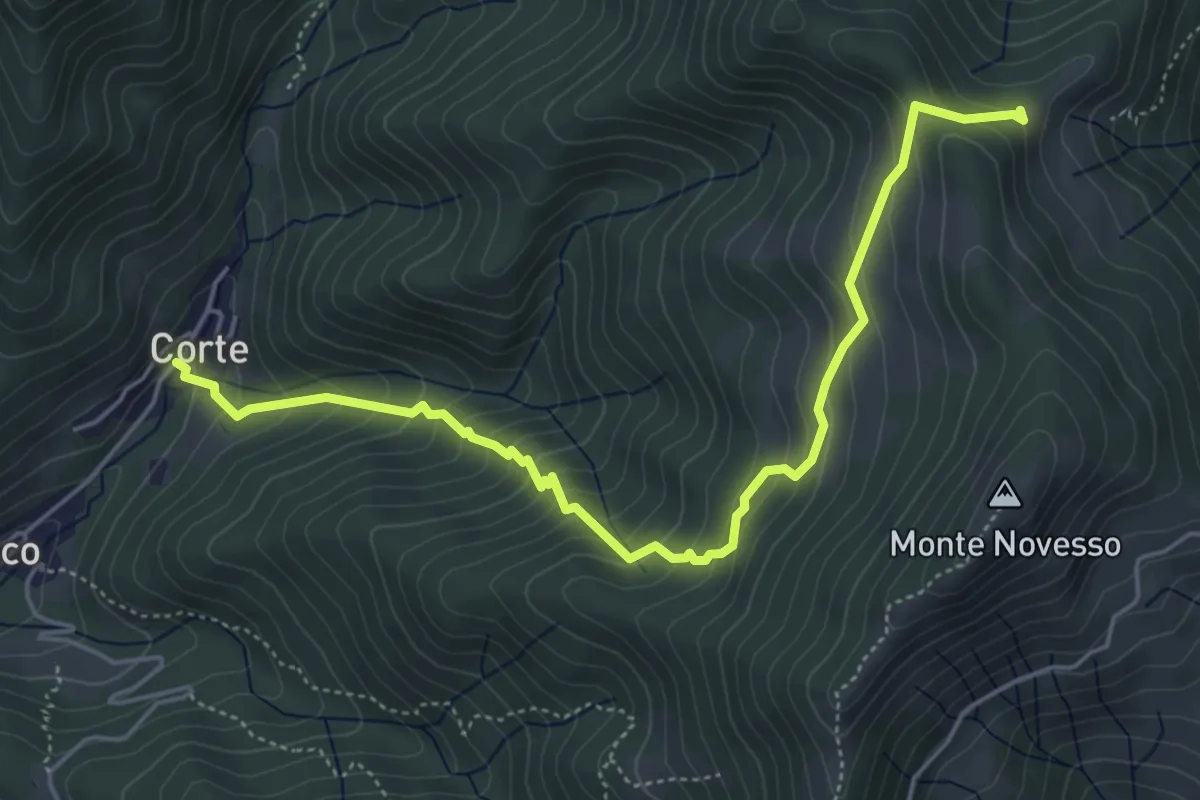
Medium · Trail
Corte – Alpe Sacchi
5.8 km · ↑ 513 m · 2 h 28 min · 7 km away
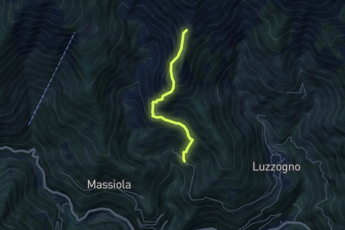
Demanding · Trail
Z06a - Inuggio - Bivio Z06
4.0 km · ↑ 682 m · 2 h 25 min · 7 km away
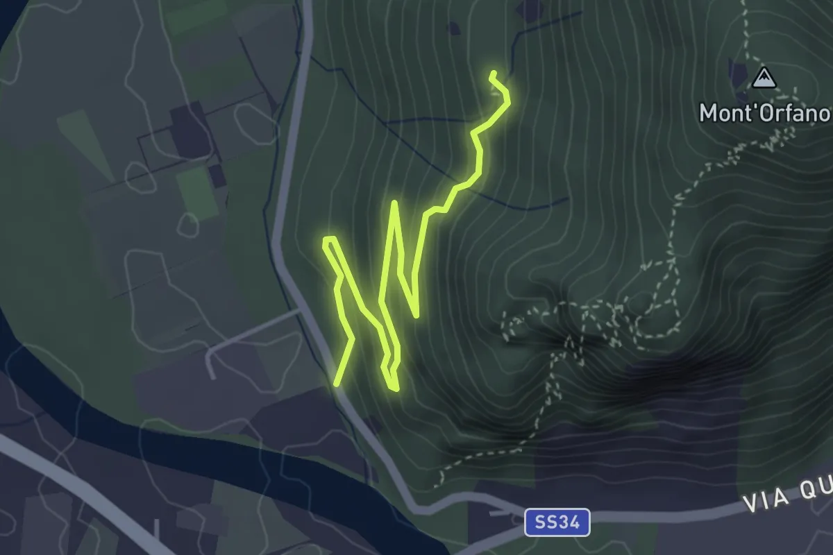
Easy · Trail
A58a - Prato Michelaccio - bivio A58
4.2 km · ↑ 254 m · 1 h 32 min · 7 km away
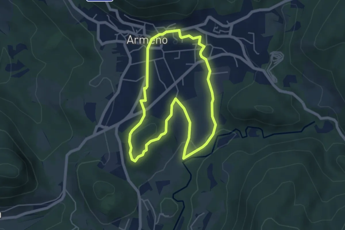
Easy · Trail
Armeno, anello Prati
4.2 km · ↑ 95 m · 1 h 16 min · 7 km away
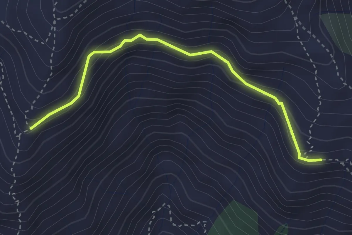
Demanding · Trail
Z06b - Alpe Toriggia - Alpe Campallero
3.1 km · ↑ 253 m · 1 h 17 min · 7 km away
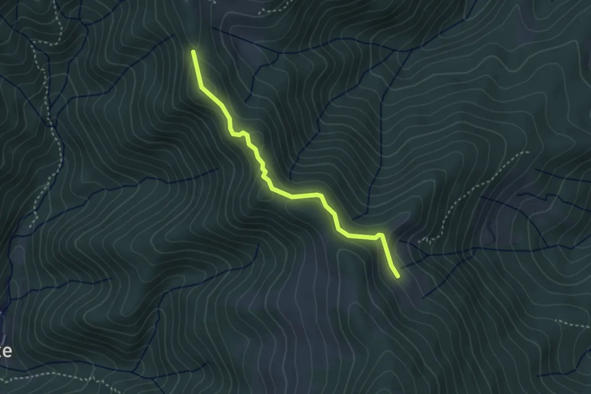
Medium · Trail
Alpe Sacchi – Passo del Ranghetto , bivio 626A-T22
3.2 km · ↑ 142 m · 1 h 3 min · 8 km away
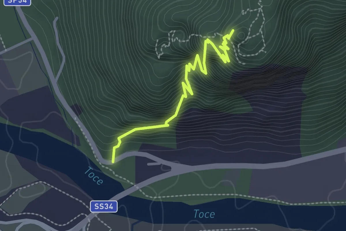
Demanding · Trail
A58b - Mulattiera militare parete sud del Montorfano
2.7 km · ↑ 671 m · 2 h 6 min · 8 km away
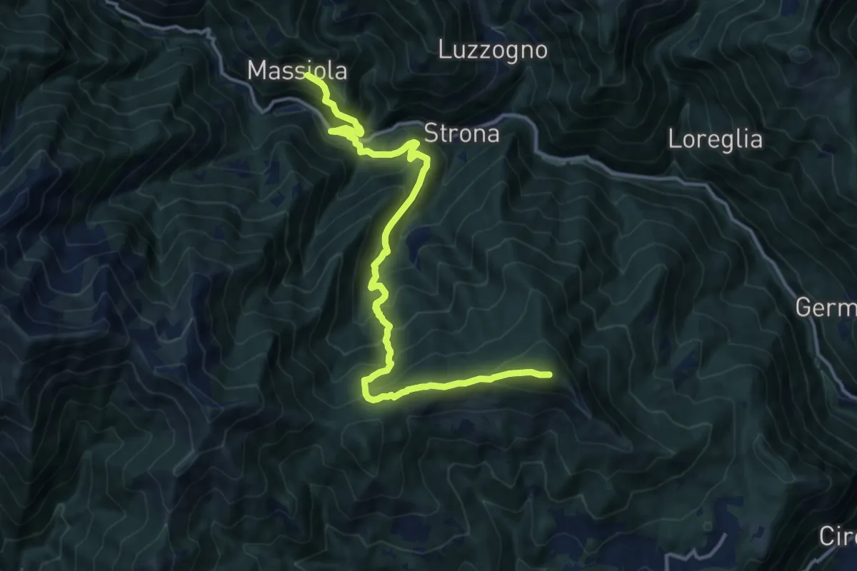
Demanding · Summit
Z03 - Massiola - Monte Mazzucone
14.3 km · ↑ 1122 m · 5 h 48 min · 8 km away
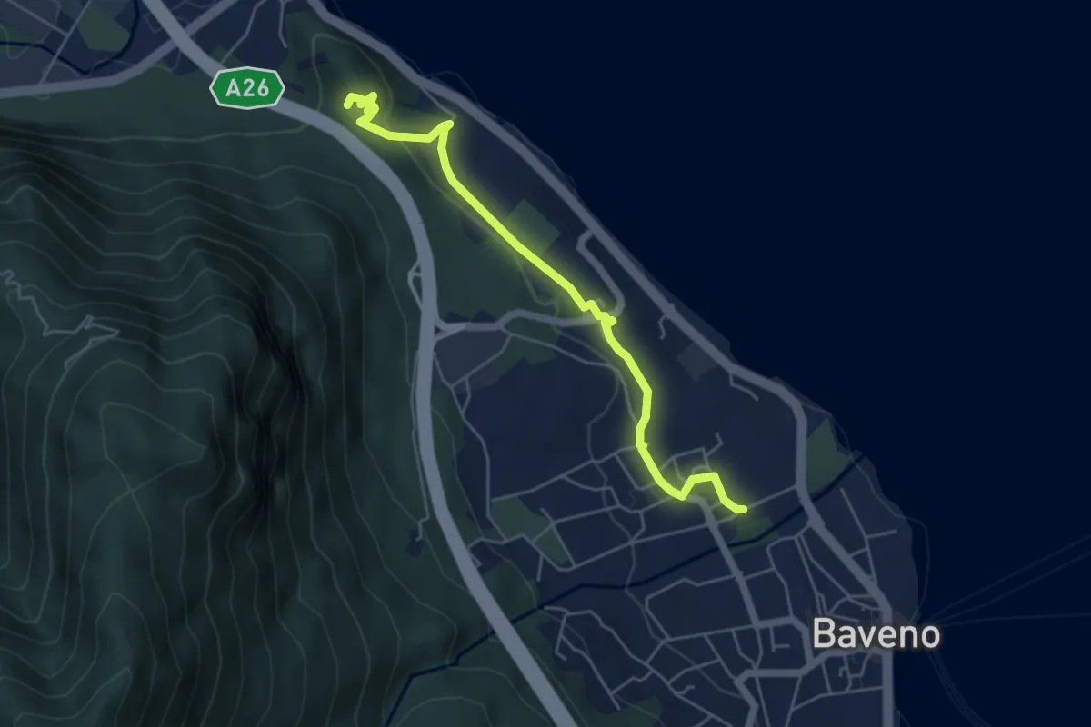
Easy · Trail
VM6 - Baveno - Torre di Feriolo
5.4 km · ↑ 121 m · 1 h 31 min · 8 km away
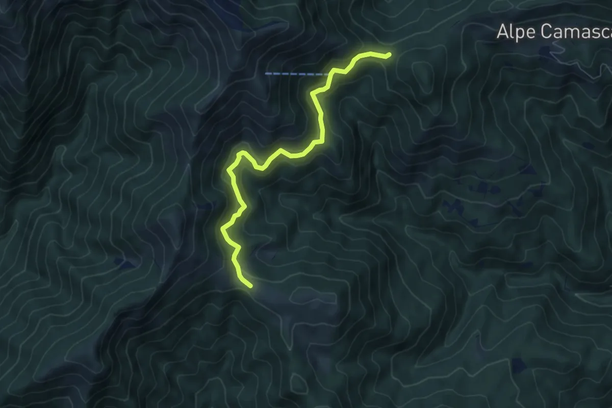
Medium · Trail
T22a - Bocchetta di Foglia - Colle del Ranghetto
6.6 km · ↑ 429 m · 2 h 29 min · 8 km away
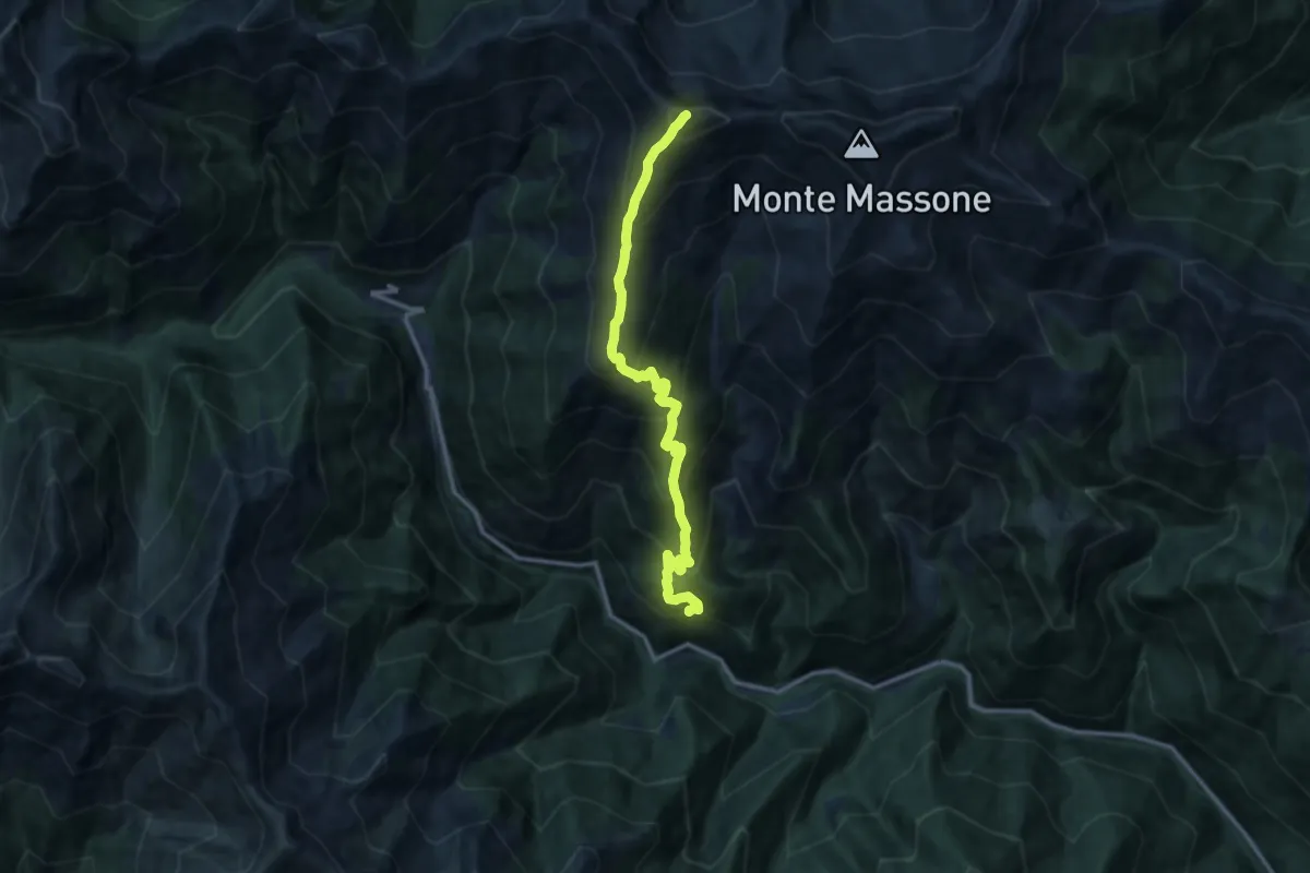
Demanding · Summit
Z08 - Massiola - Cima Scaravini
11.6 km · ↑ 1316 m · 5 h 36 min · 8 km away
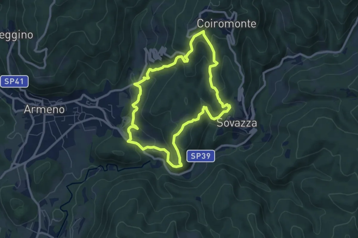
Medium · Trail
Armeno, anello Coiro-Sovazza
6.6 km · ↑ 355 m · 2 h 25 min · 8 km away
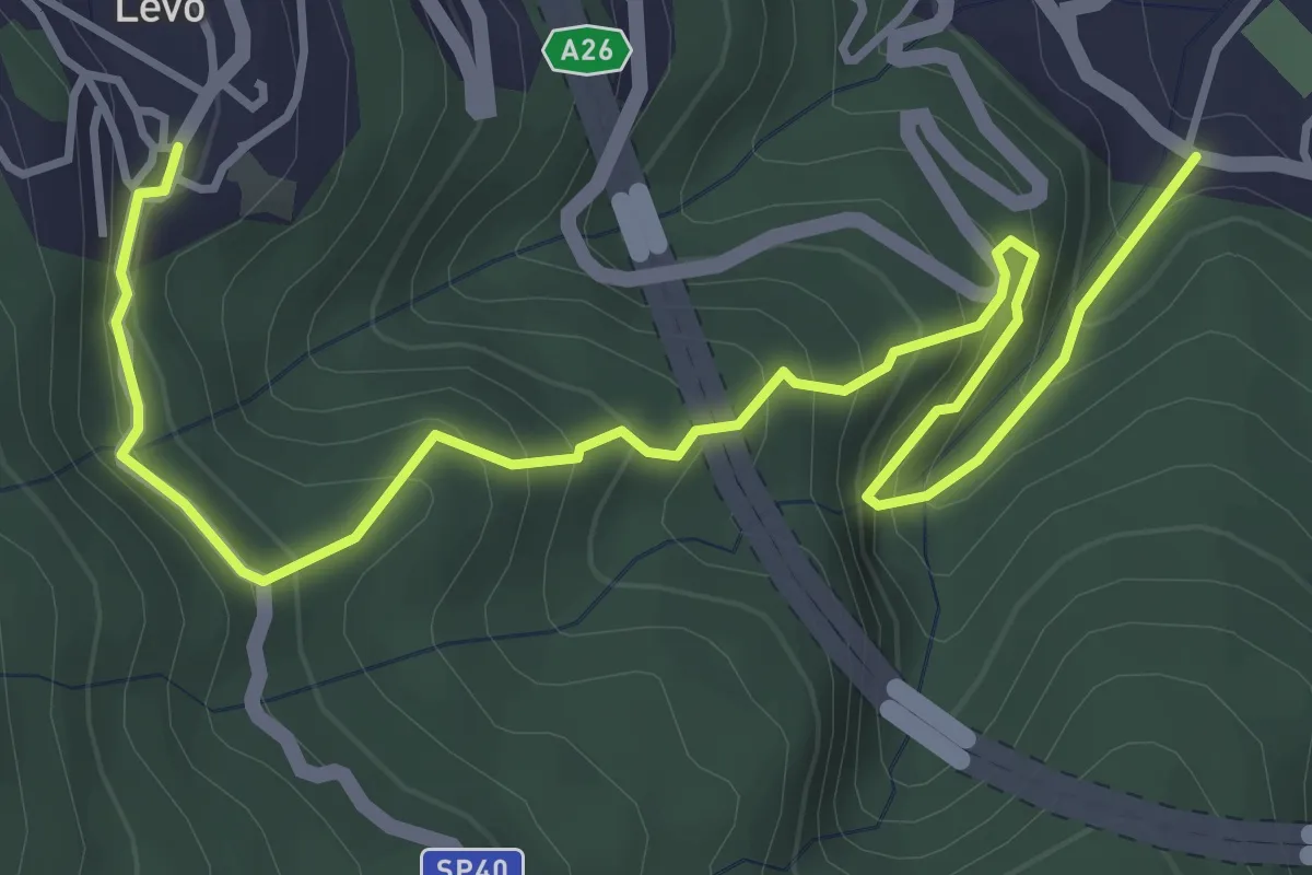
Medium · Trail
VL6 - Stresa - Levo
5.4 km · ↑ 565 m · 2 h 29 min · 8 km away
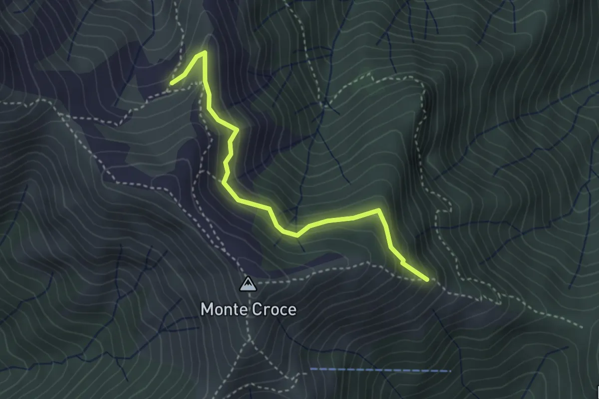
Demanding · Trail
Z05a - Alpe Campo - Bivio T20
3.4 km · ↑ 278 m · 1 h 24 min · 8 km away
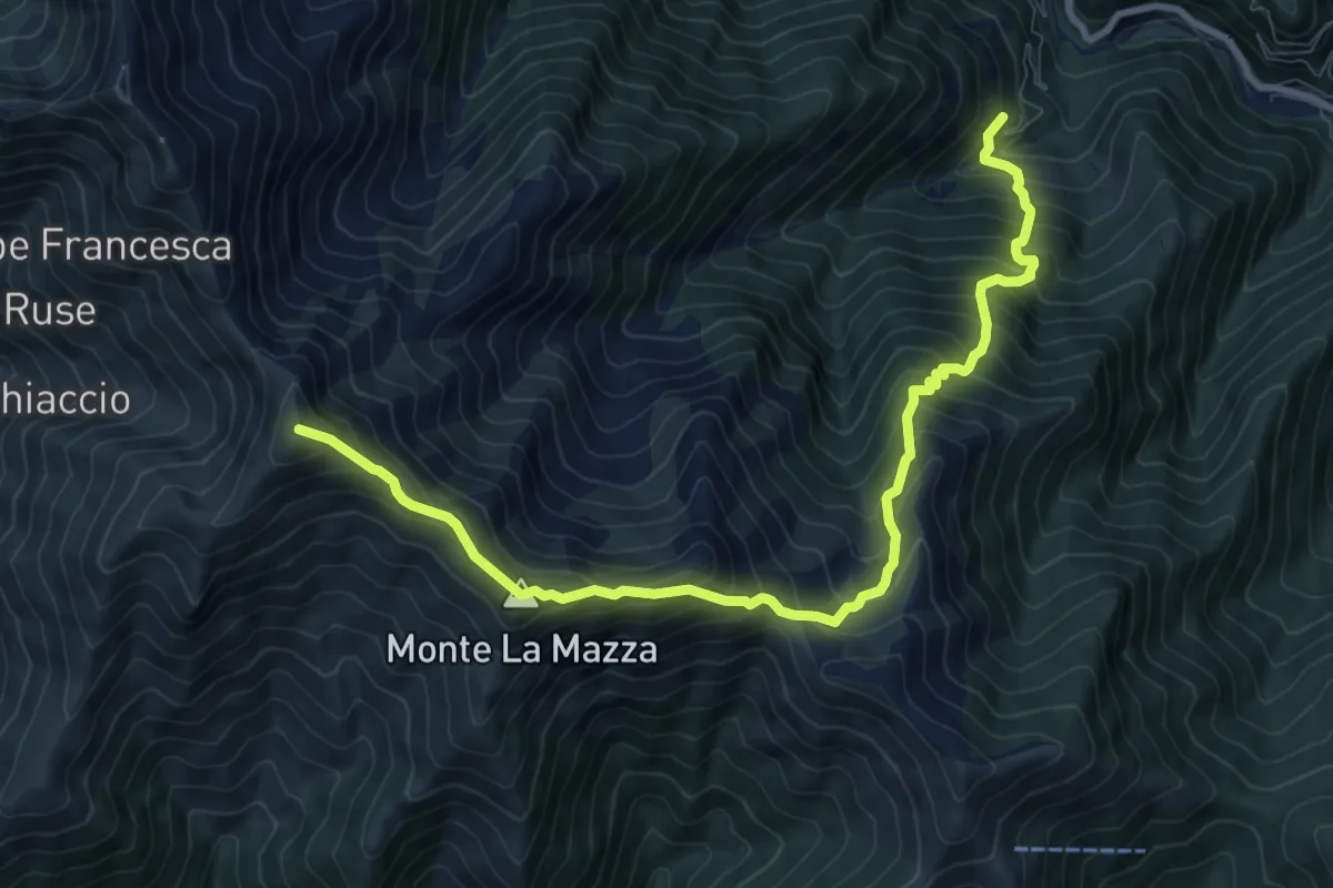
Demanding · Summit
Z05 - Sambughetto - Massa del Turlo
10.3 km · ↑ 1232 m · 5 h 6 min · 8 km away
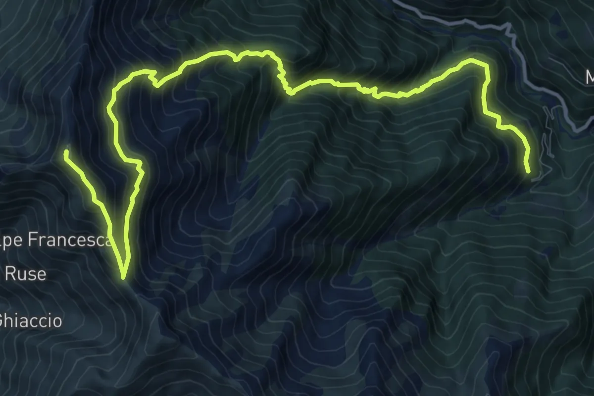
Demanding · Summit
Z09 - Sambughetto - Monte Forcolaccia
14.5 km · ↑ 1584 m · 6 h 51 min · 8 km away
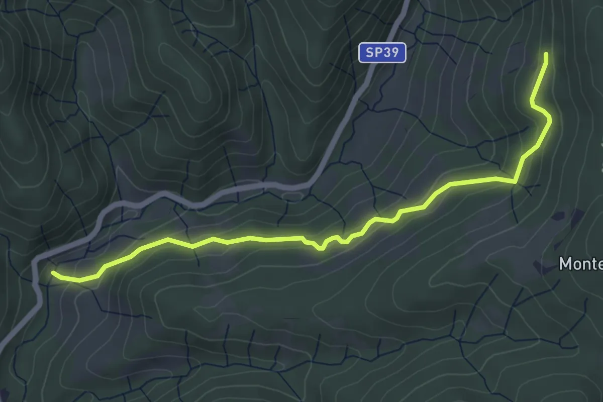
Easy · Trail
Sovazza ponte Agogna – Alpe Maioli
5.0 km · ↑ 260 m · 1 h 45 min · 8 km away
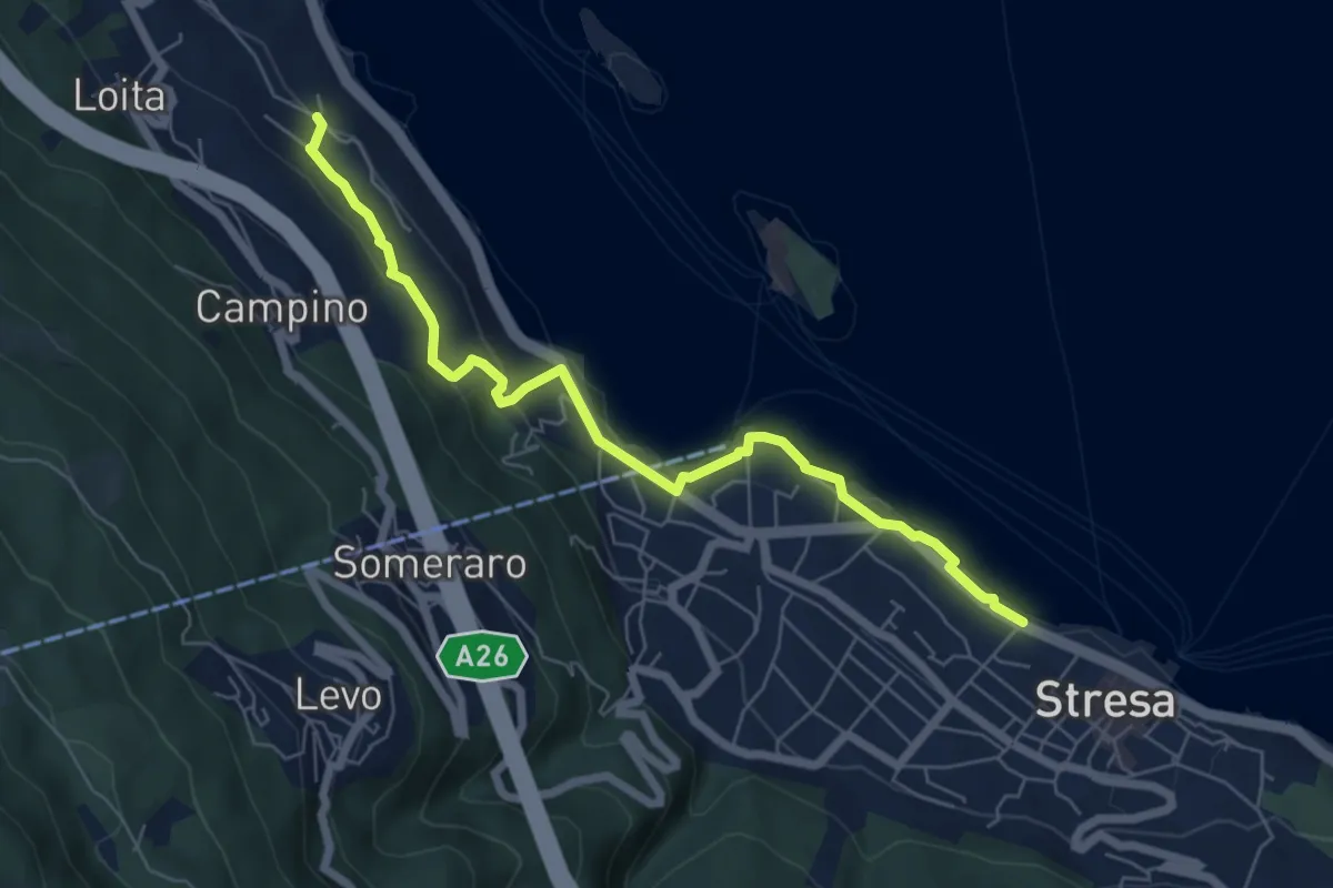
Easy · Trail
VM4 - Roncaro - Stresa
6.7 km · ↑ 236 m · 2 h 5 min · 8 km away
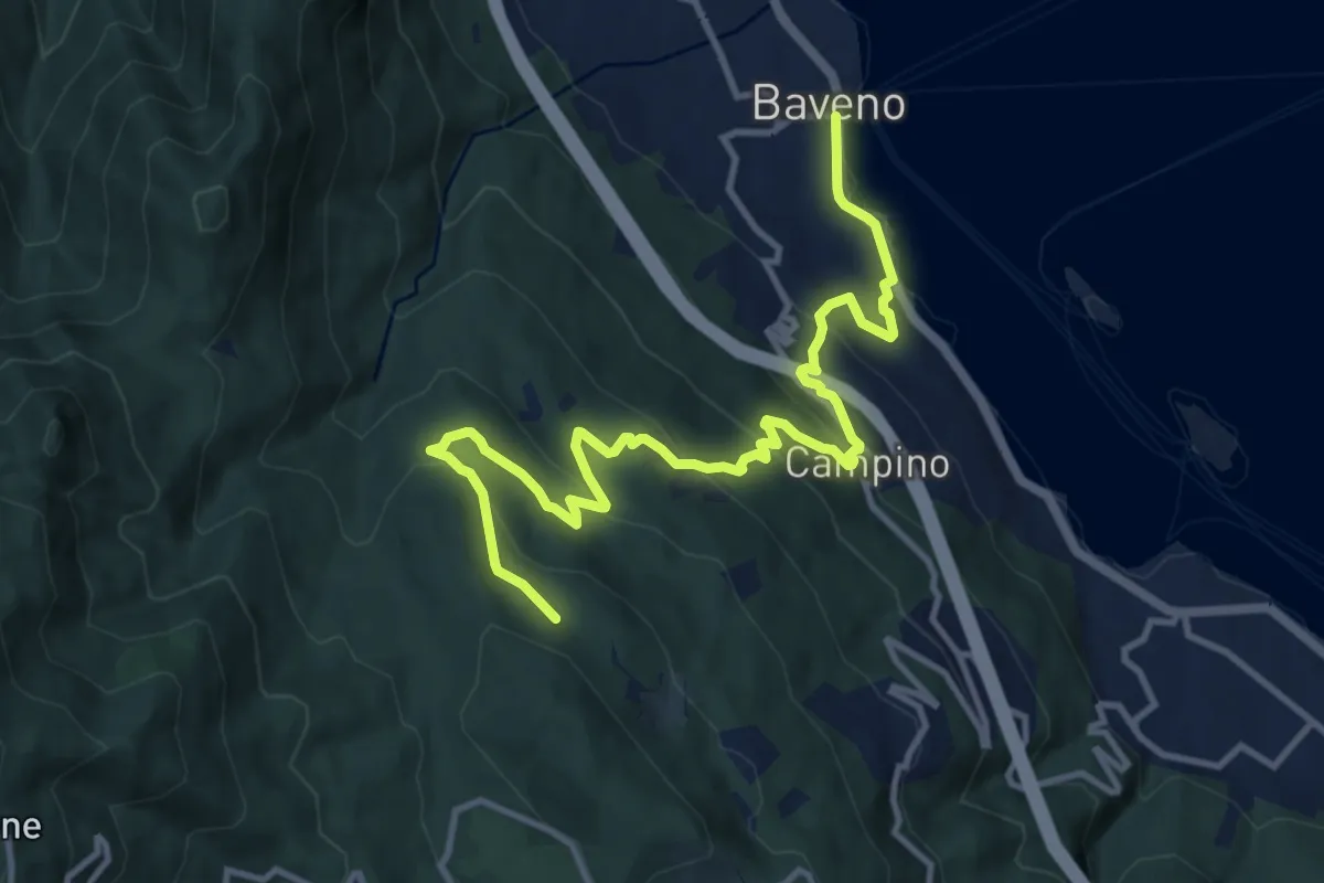
Medium · Trail
VM5 - Baveno - Bivio VL1
13.6 km · ↑ 709 m · 4 h 46 min · 8 km away
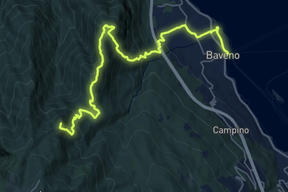
Demanding · Summit
VM3 - Baveno - Mottarone
18.0 km · ↑ 1317 m · 7 h 6 min · 8 km away
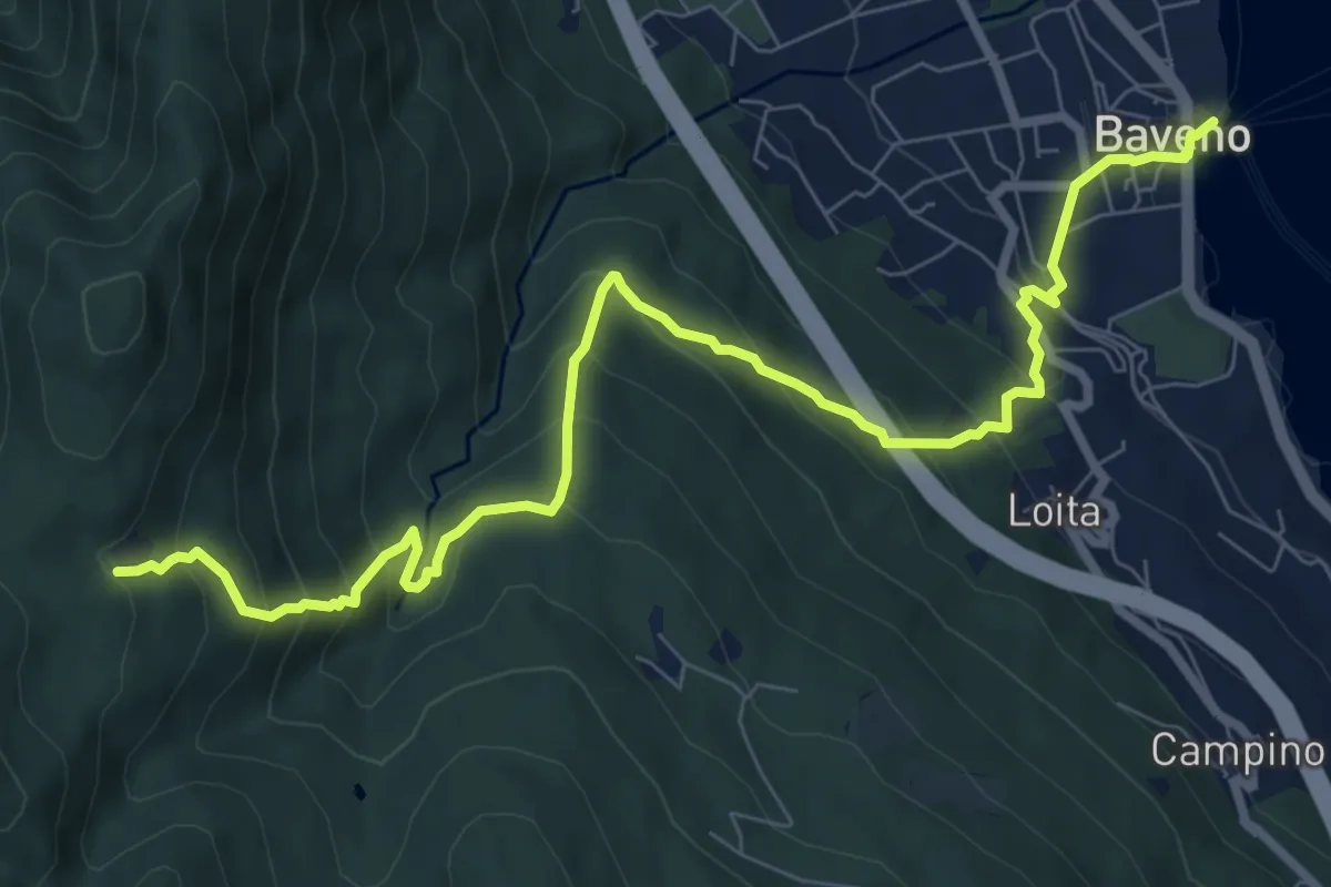
Demanding · Trail
VM2 - Baveno - Alpe Vedabia
9.8 km · ↑ 819 m · 4 h 6 min · 8 km away
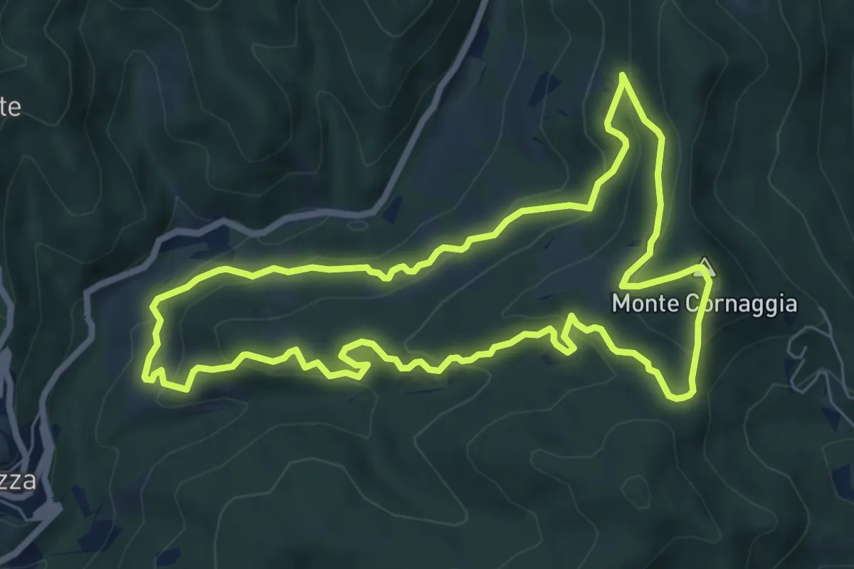
Medium · Summit
Sentiero degli Alpeggi
7.2 km · ↑ 373 m · 2 h 36 min · 8 km away
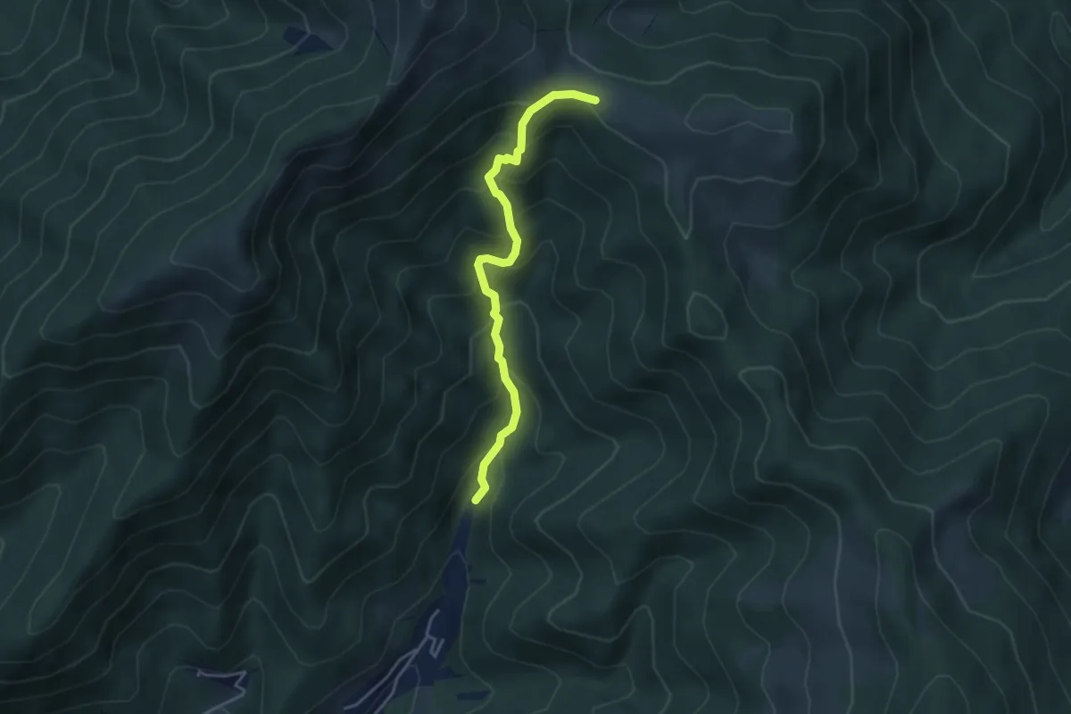
Medium · Trail
Bivio 625-625A – Bivio 625-T22
3.9 km · ↑ 410 m · 1 h 48 min · 8 km away
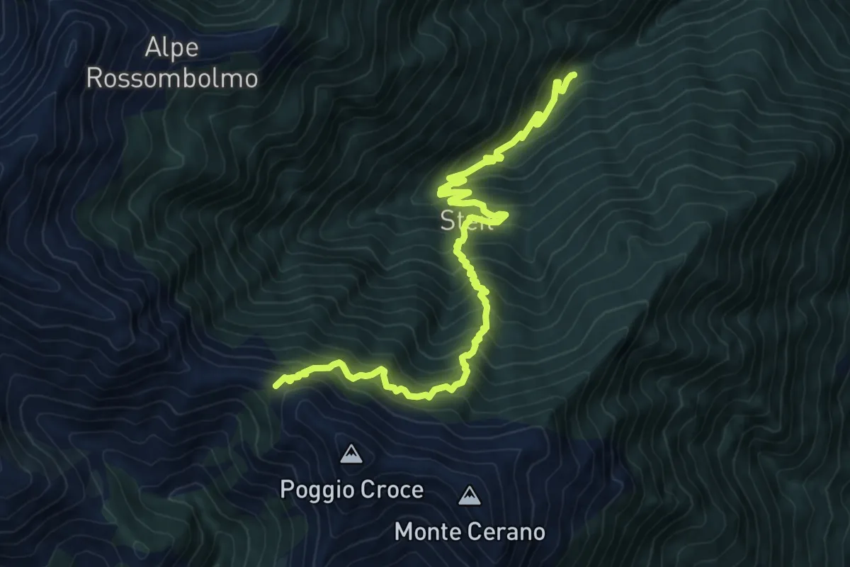
Demanding · Trail
A15 - Alpe Sarledi - Bocchetta di Bagnone
11.1 km · ↑ 1255 m · 5 h 21 min · 8 km away
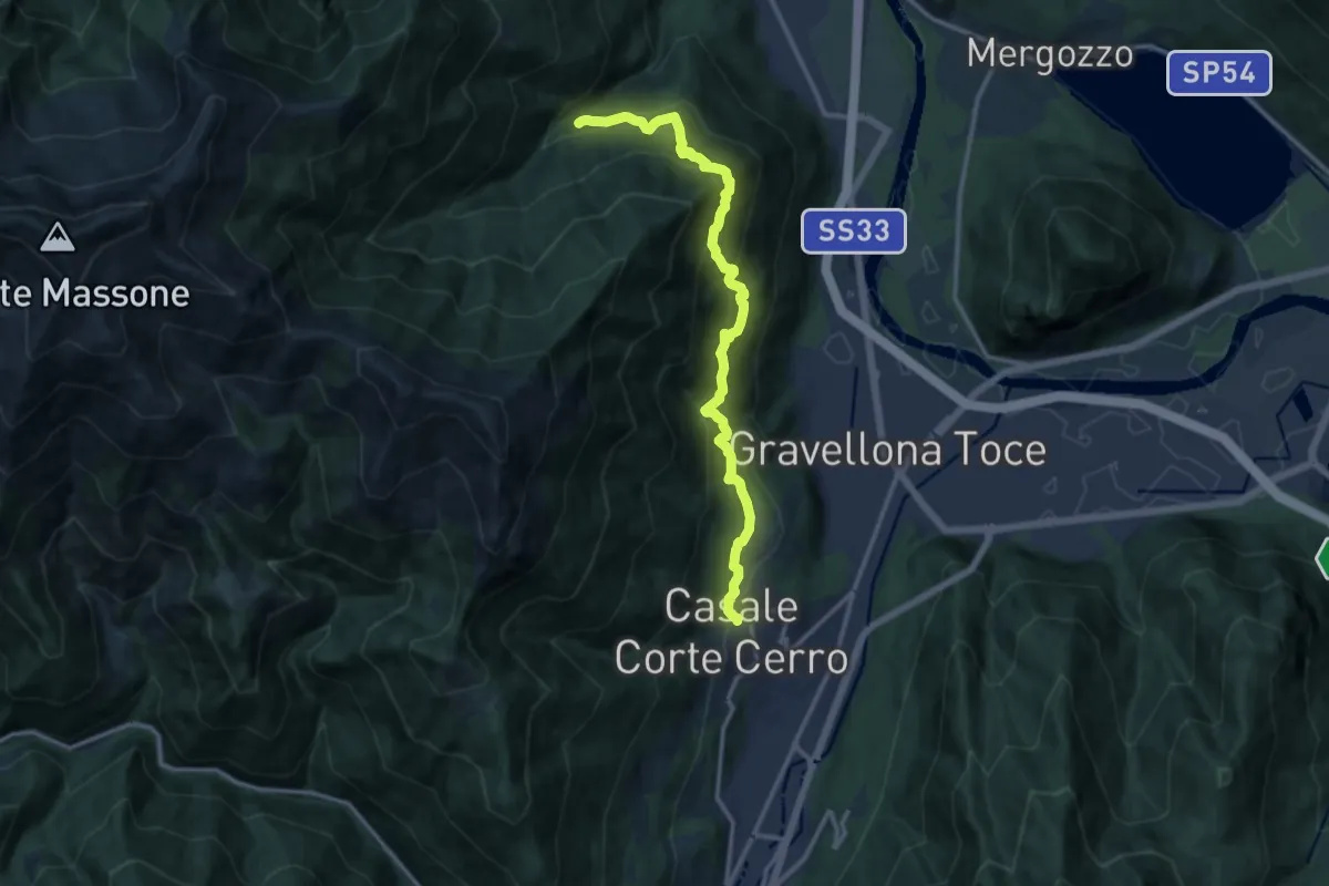
Demanding · Trail
T02 - Casale Corte Cerro - San Bartolomeo
13.4 km · ↑ 1208 m · 5 h 46 min · 8 km away
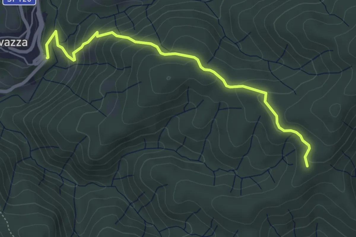
Easy · Trail
VS5 - Sovazza - Alpe Boccioli
5.2 km · ↑ 295 m · 1 h 52 min · 9 km away
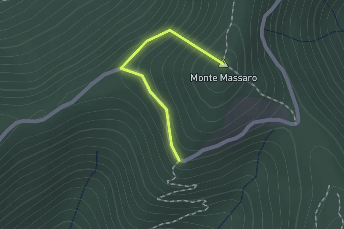
Medium · Summit
Bivio 628-628A – Bivio 628A-639
1.1 km · ↑ 115 m · 30 min · 9 km away
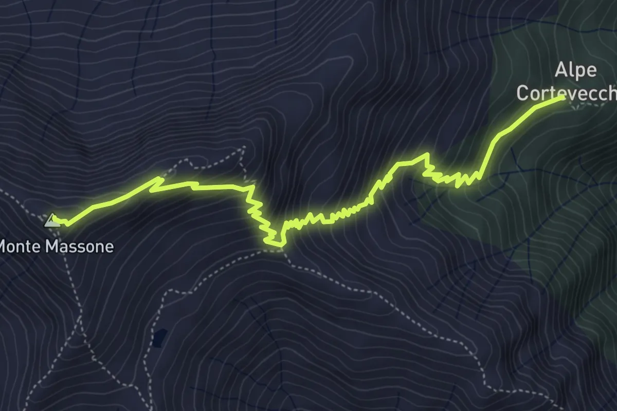
Demanding · Summit
Grata Gamul Trekking - Tappa 2
6.8 km · ↑ 639 m · 3 h · 9 km away
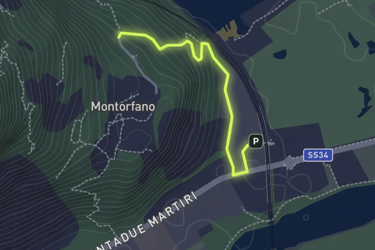
Easy · Trail
A56a - Stazione FS Verbania - Bivio A56 presso Montorfano paese
2.2 km · ↑ 127 m · 48 min · 9 km away
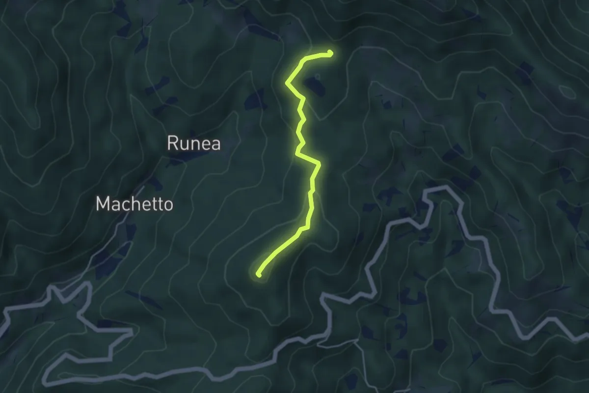
Demanding · Summit
Bivio 640-642 – Bivio 641-644
3.6 km · ↑ 185 m · 1 h 15 min · 9 km away
Easy · Trail
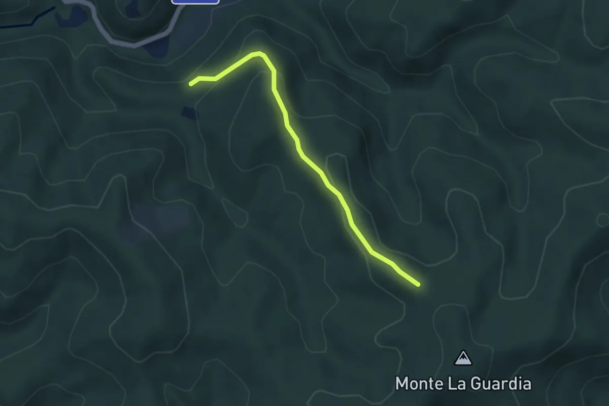
VS3 - Alpe Marzoli - Bivio V00
3.6 km · ↑ 161 m · 1 h 12 min · 9 km away
Demanding · Trail
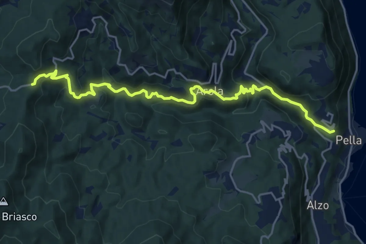
T34 - Pella - La Colma
14.1 km · ↑ 990 m · 5 h 28 min · 9 km away
Easy · Trail
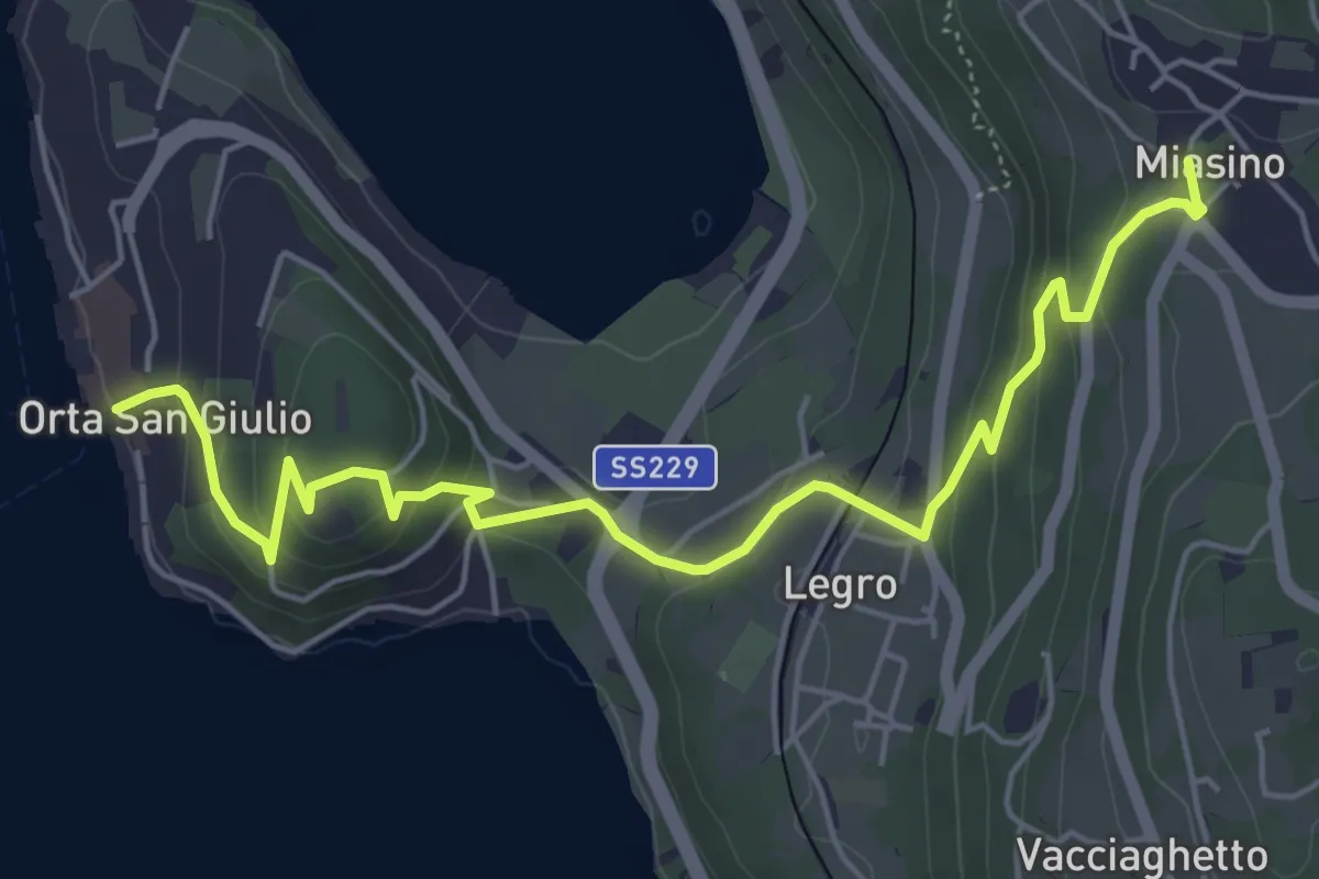
Orta Scalo, bivio NOATU1-NOATU1A – Miasino, bivio NOAVU9-NOATU1, NOAVU1
6.3 km · ↑ 314 m · 2 h 11 min · 9 km away
Easy · Trail
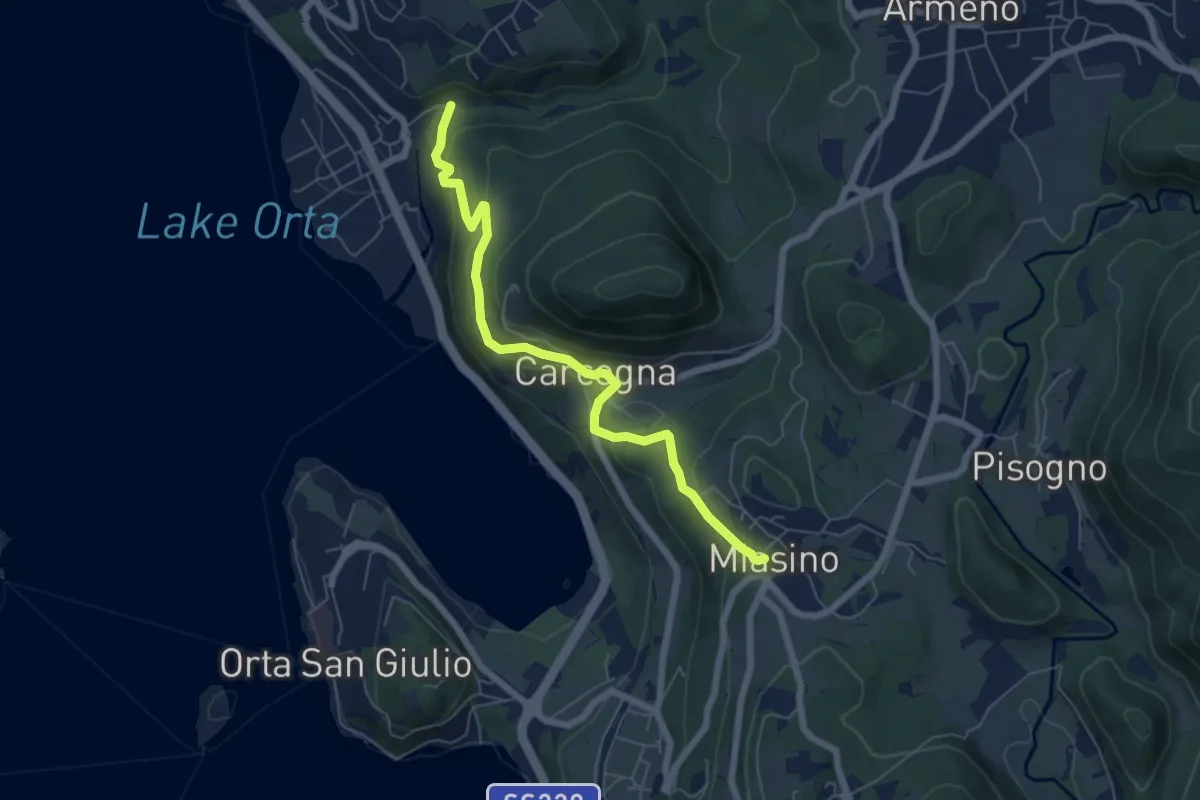
VU9 - Pettenasco - Miasino
6.3 km · ↑ 274 m · 2 h 5 min · 9 km away