Trails near Omegna
325 hikes starting within 15 km, nearest first.
Nearest first, page 3 of 7
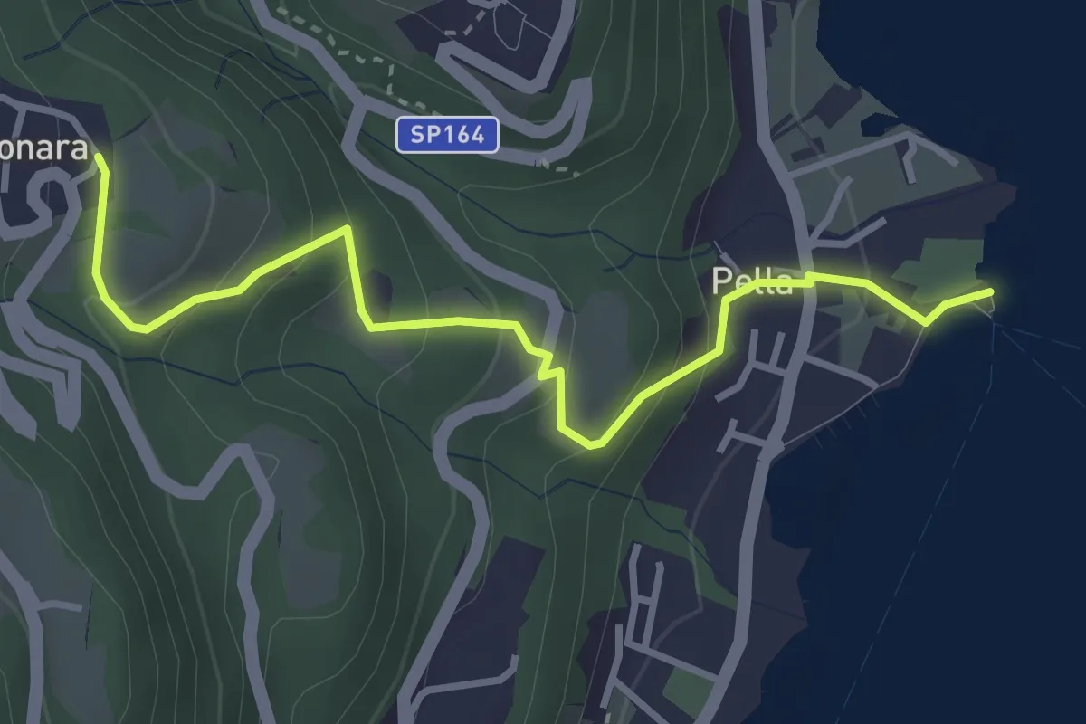
Easy · Trail
Pella scalo – Centonara, bivio NOAT36-VBAT36
3.6 km · ↑ 226 m · 1 h 20 min · 9 km away
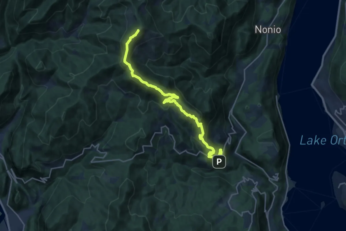
Demanding · Summit
T32 - Arola - Monte Novesso
17.1 km · ↑ 1060 m · 6 h 20 min · 9 km away
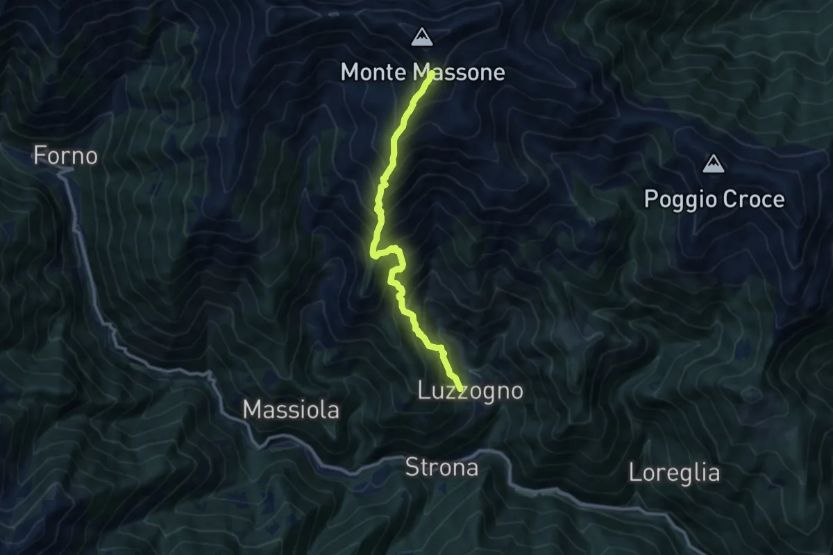
Demanding · Trail
Z06 - Luzzogno - Monte Massone
8.8 km · ↑ 1365 m · 5 h 2 min · 9 km away
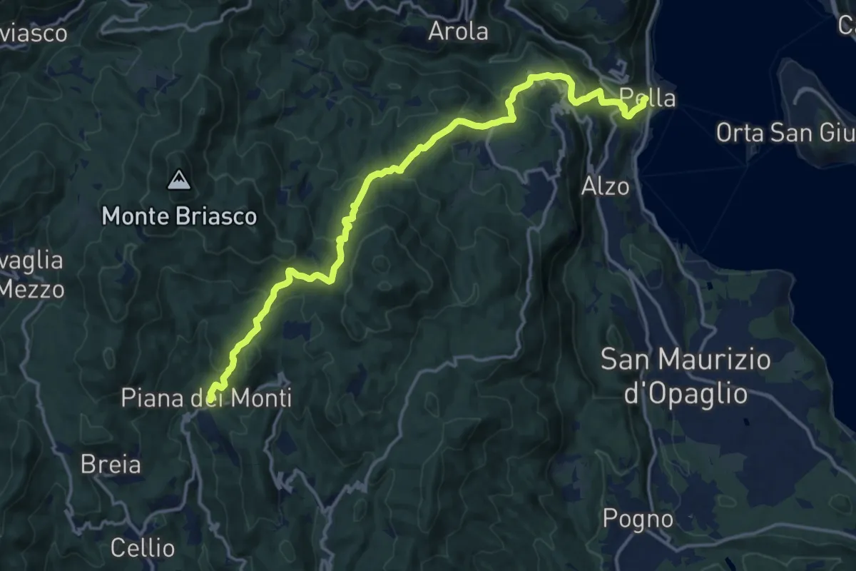
Demanding · Trail
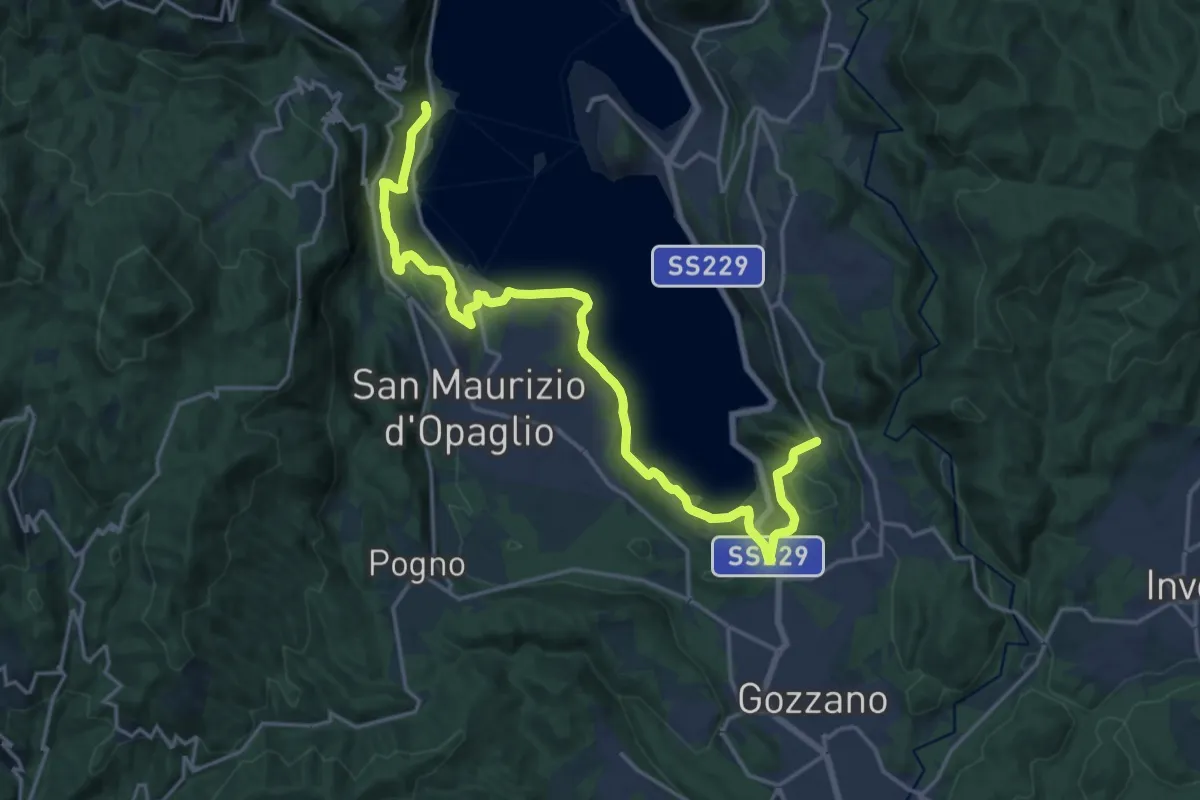
T36 - Pella - Piana dei Monti
16.7 km · ↑ 935 m · 5 h 58 min · 9 km away
Demanding · Trail
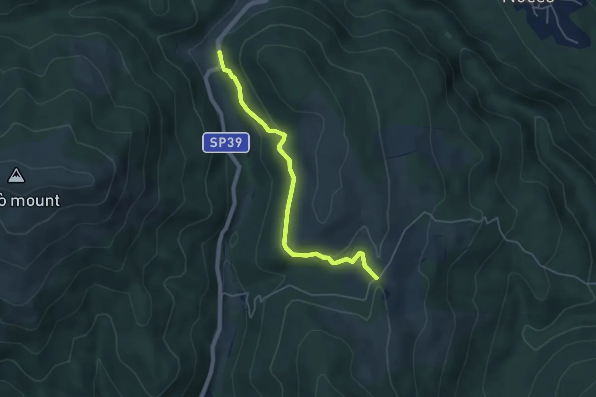
T37 - Pella - Gozzano
21.4 km · ↑ 541 m · 6 h 14 min · 9 km away
Easy · Trail
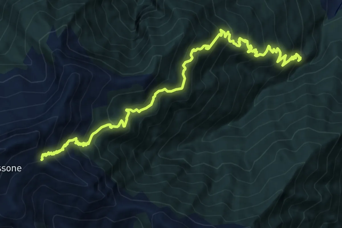
VH3 - Gignese - Alpe Canà
4.2 km · ↑ 161 m · 1 h 20 min · 9 km away
Demanding · Trail
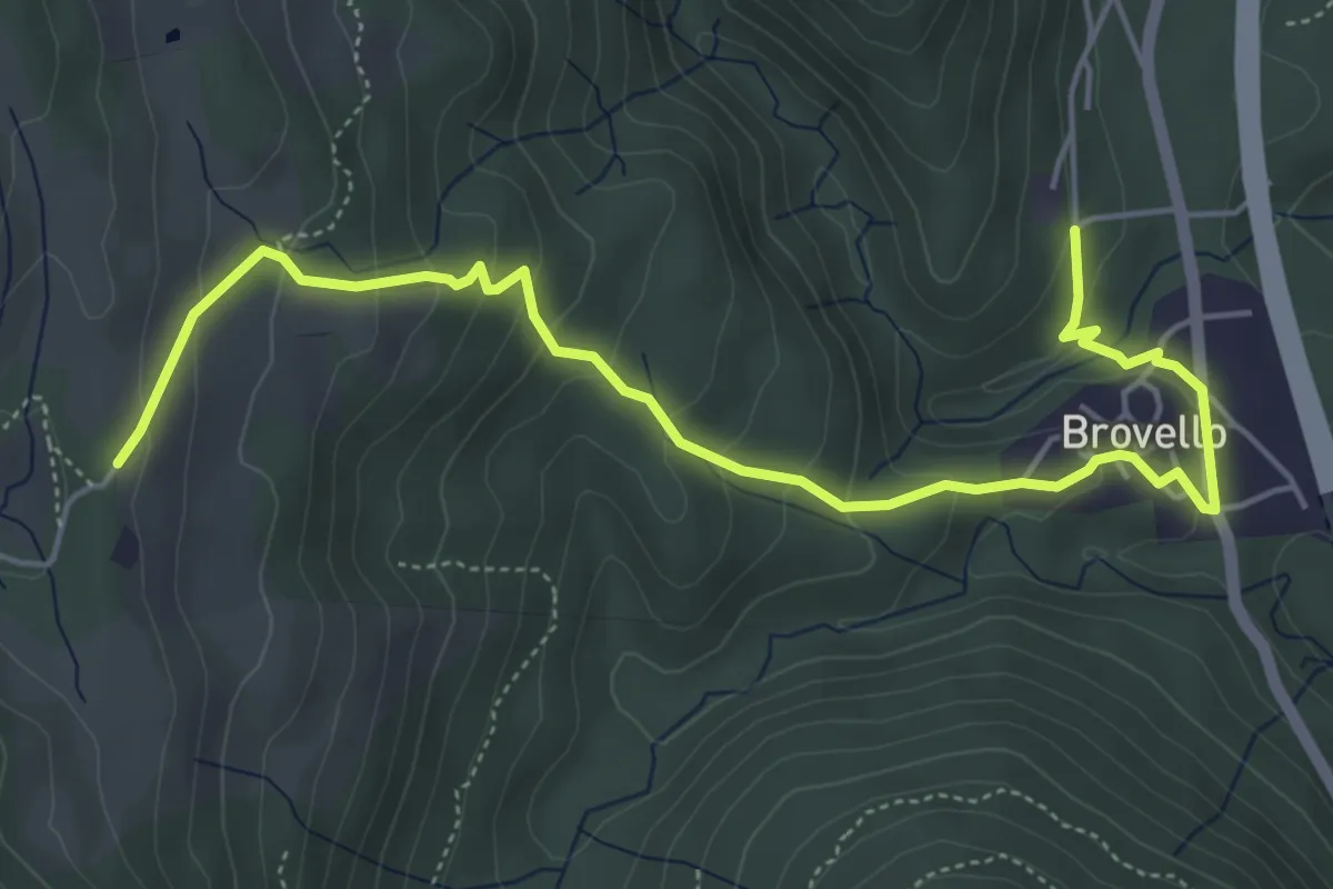
A25 - Madonna del Boden - La Bocchetta
17.1 km · ↑ 1632 m · 7 h 34 min · 9 km away
Medium · Trail
VH4 - Brovello - Alpe Canà
6.1 km · ↑ 334 m · 2 h 10 min · 9 km away
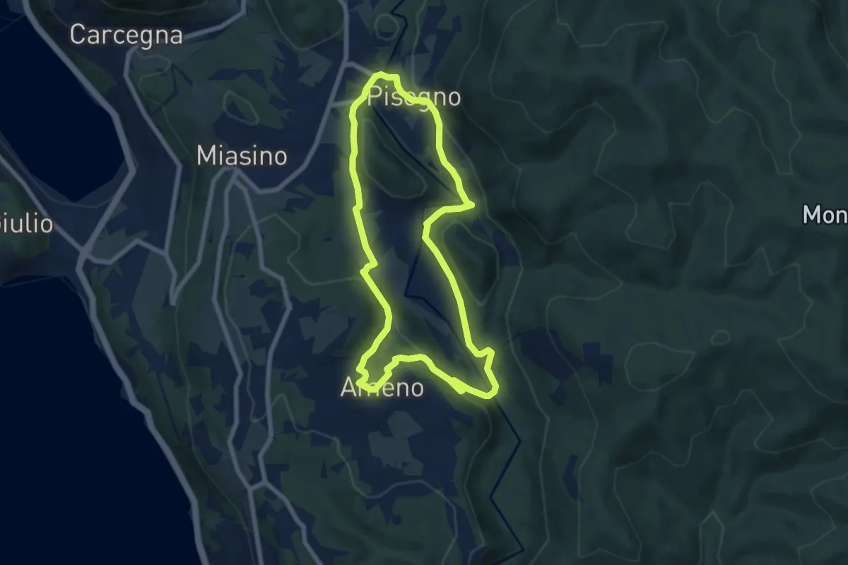
Easy · Trail
Anello Azzurro
6.3 km · ↑ 179 m · 1 h 58 min · 9 km away
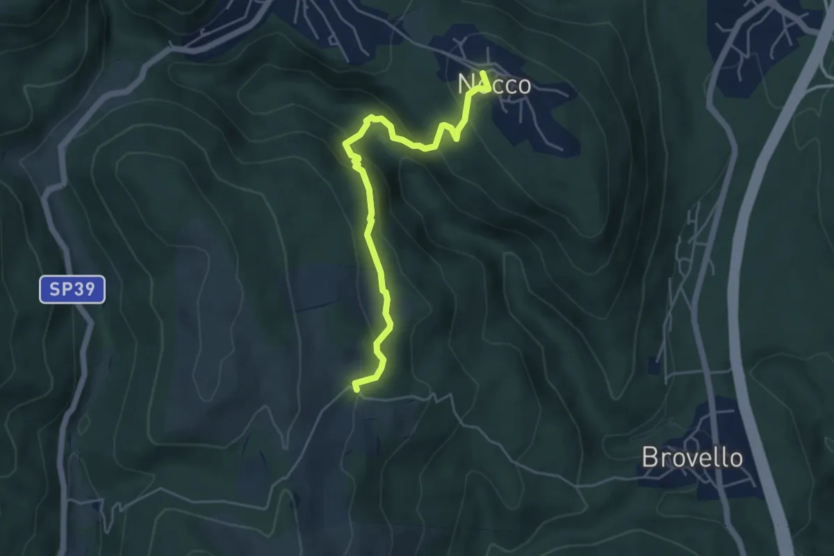
Medium · Trail
VL7a - Nocco - Alpe Martin
4.6 km · ↑ 259 m · 1 h 39 min · 9 km away
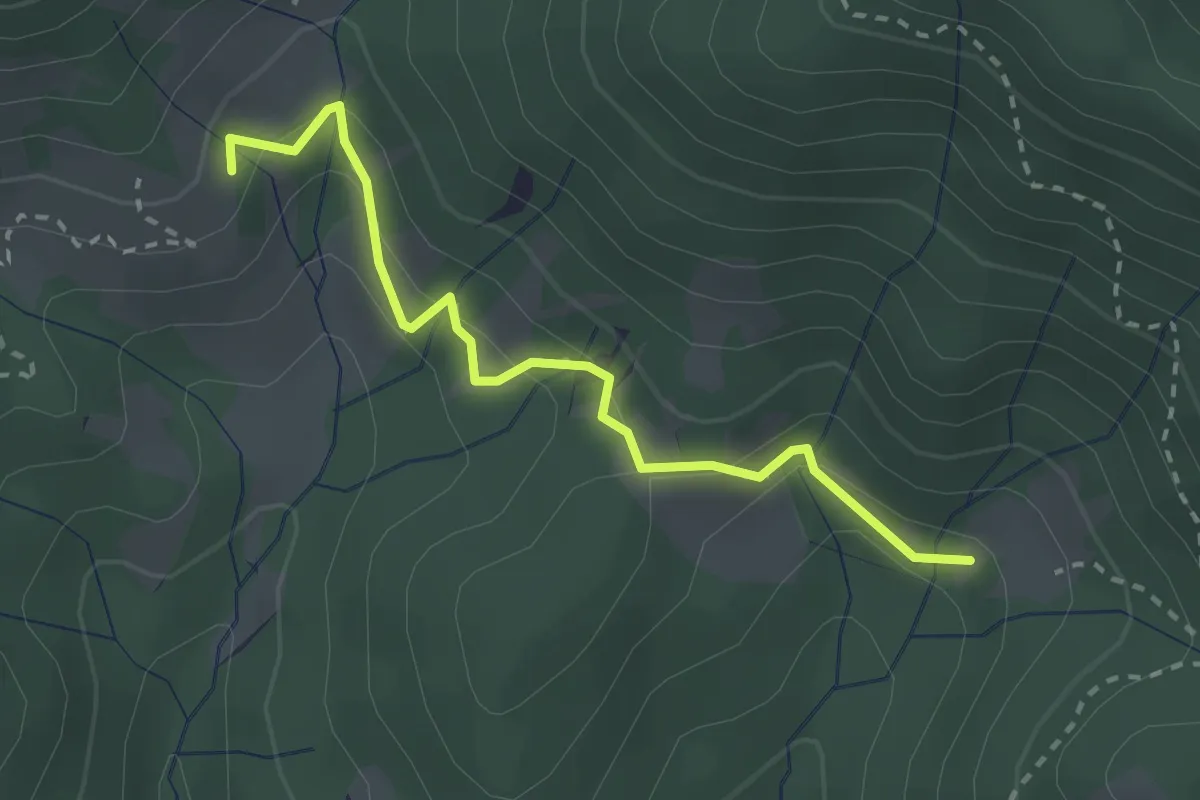
Easy · Trail
Alpe Lincè – Alpe Corte
2.7 km · ↑ 151 m · 57 min · 9 km away
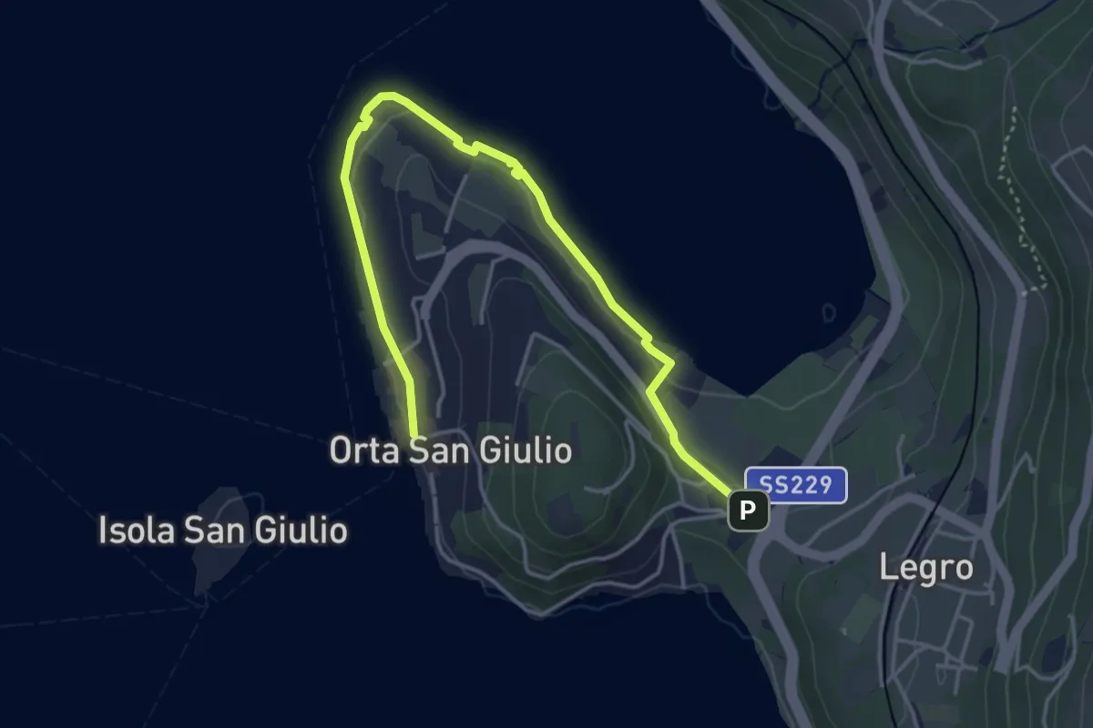
Easy · Trail
Orta Scalo, bivio ENOATU1-ENOATU1A – Orta San Giulio località Ortello, bivio ENOATU1-ENOATU1A
4.8 km · ↑ 71 m · 1 h 17 min · 9 km away
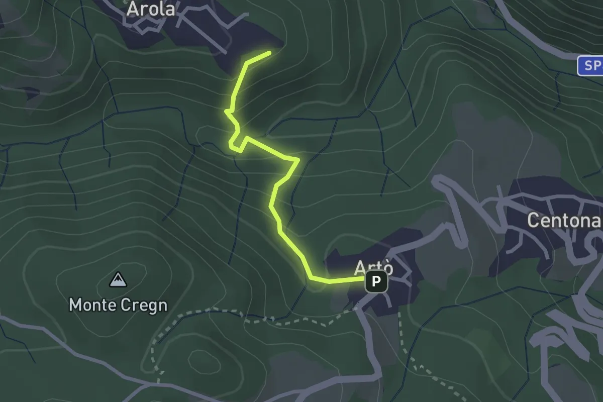
Medium · Trail
T34a - Arola - Artò
2.2 km · ↑ 171 m · 53 min · 9 km away
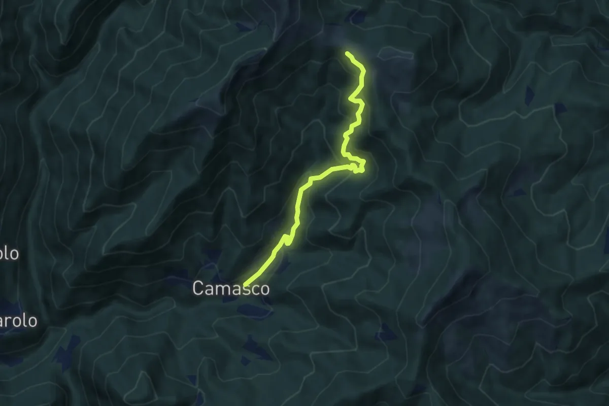
Medium · Trail
Camasco – Massa del Turlo (Giandolino)
7.3 km · ↑ 602 m · 3 h 1 min · 9 km away
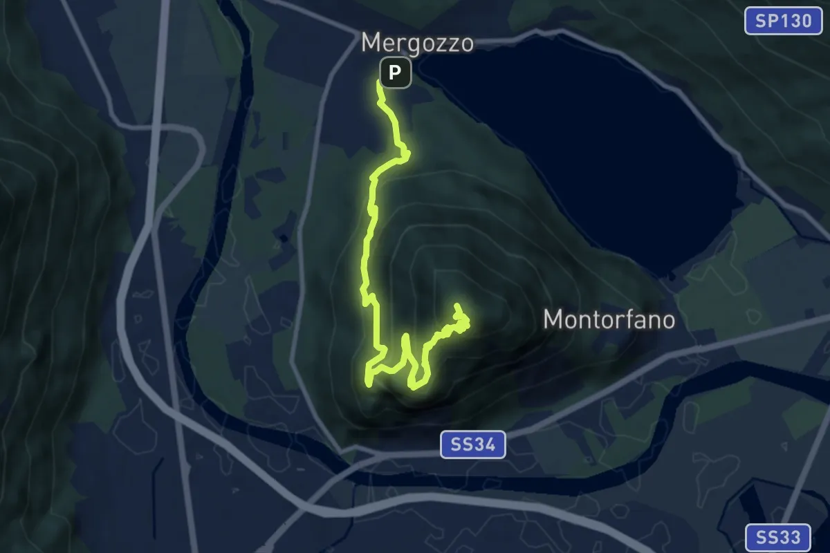
Medium · Summit
A58 - Mergozzo - Linea Cadorna - Mont'Orfano vetta
10.0 km · ↑ 770 m · 4 h 1 min · 9 km away
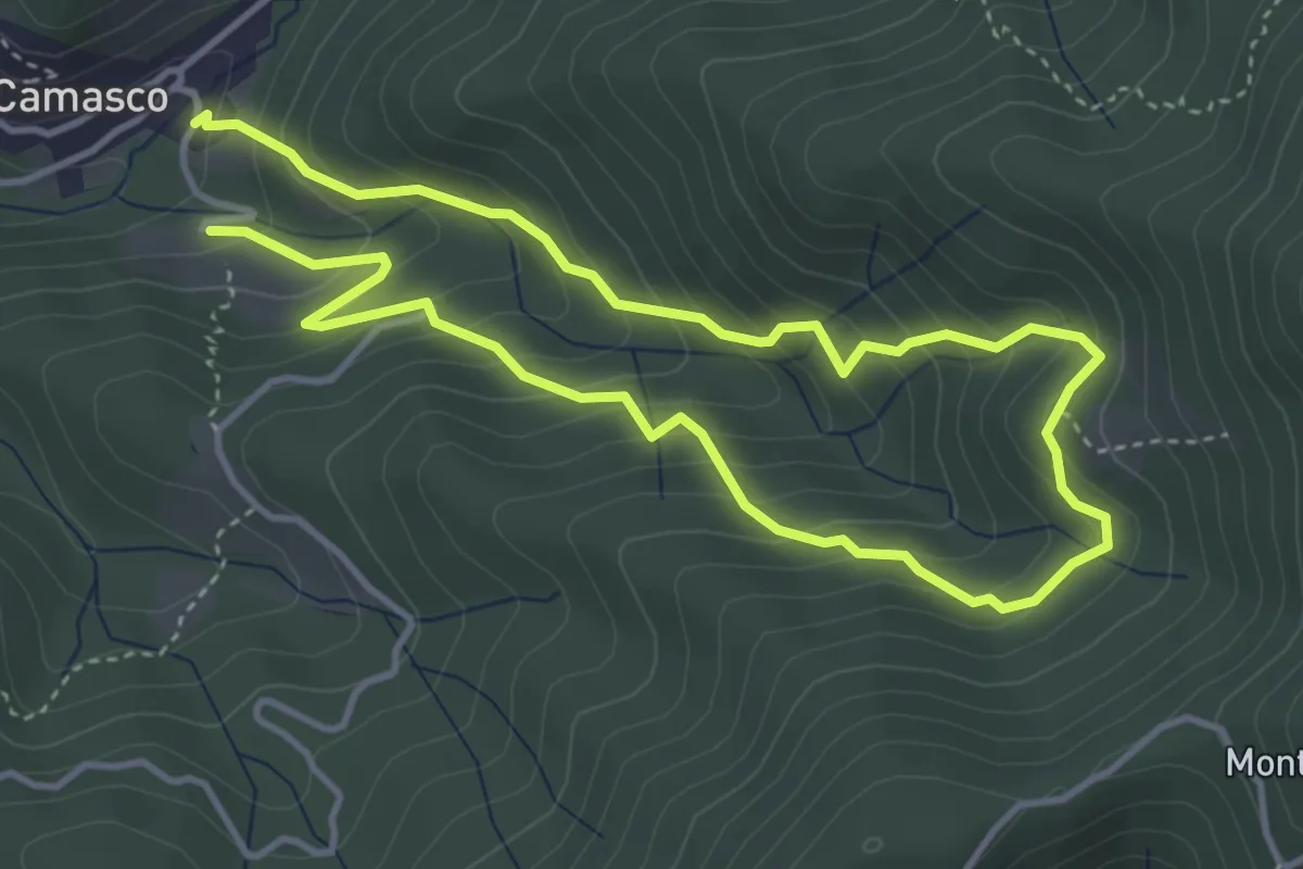
Medium · Trail
Bivio 628-629 – Bivio 628-629, Alpe Taponi
7.1 km · ↑ 670 m · 3 h 8 min · 9 km away
Medium · Summit
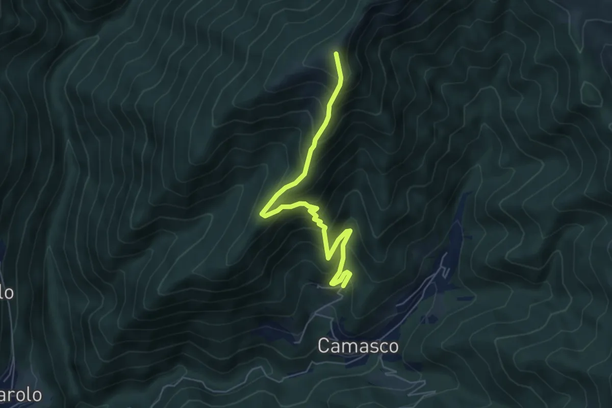
Scolaro – Bivio VCA627-VCA625
5.7 km · ↑ 690 m · 2 h 51 min · 9 km away
Easy · Trail
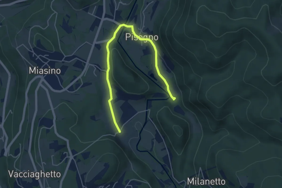
VU1a - Ameno - Ameno
5.0 km · ↑ 106 m · 1 h 24 min · 10 km away
Medium · Summit
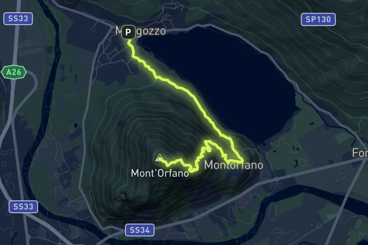
A56 - Mergozzo - Sentiero Azzurro - Mont'Orfano vetta
9.7 km · ↑ 750 m · 3 h 55 min · 10 km away
Medium · Trail
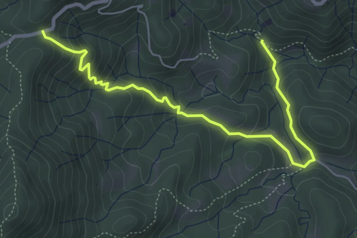
T34b - Bivio T34 - La Colma
5.8 km · ↑ 342 m · 2 h 6 min · 10 km away
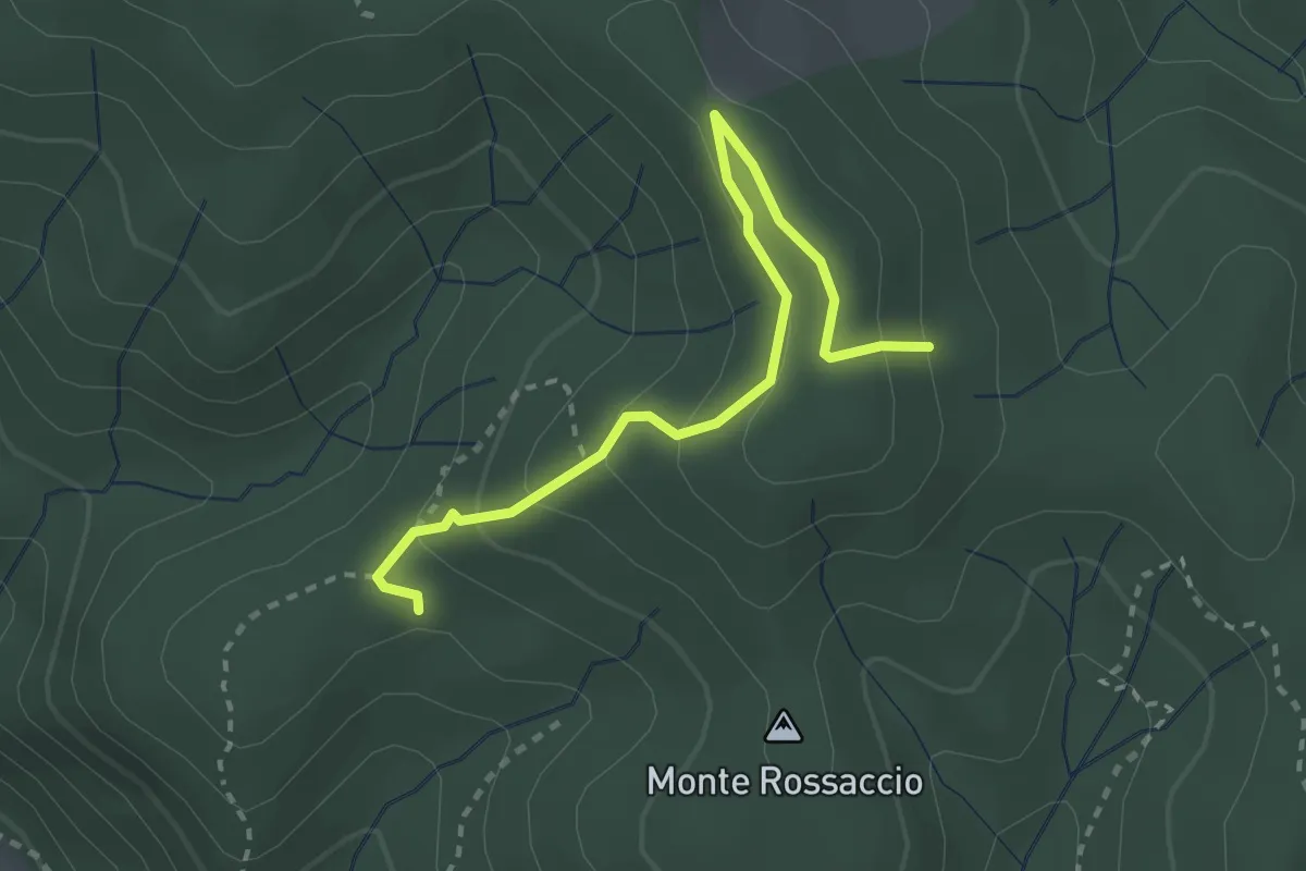
Easy · Trail
VU1b - Loc. Scullera - Alpe Cascinone
2.9 km · ↑ 126 m · 58 min · 10 km away
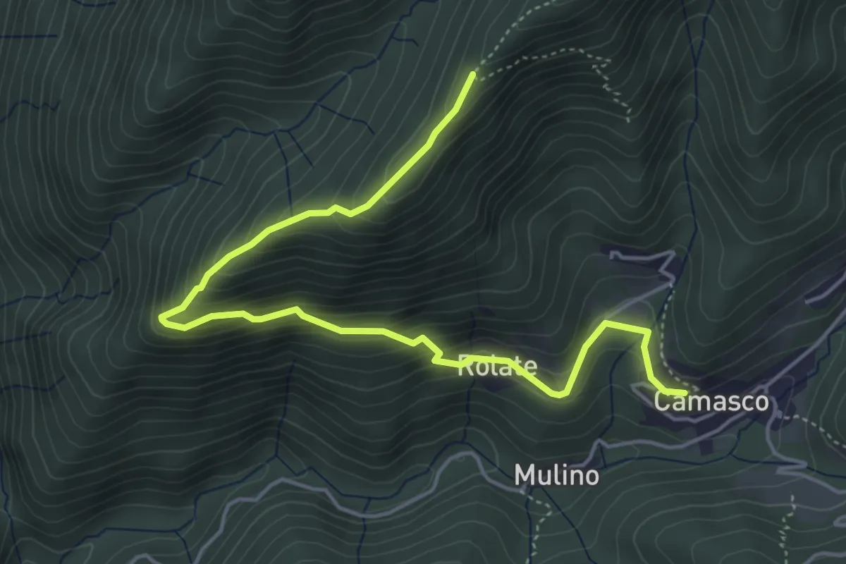
Medium · Trail
Bivio 627-627B, Camasco – Bivio 627-627B
5.6 km · ↑ 452 m · 2 h 18 min · 10 km away
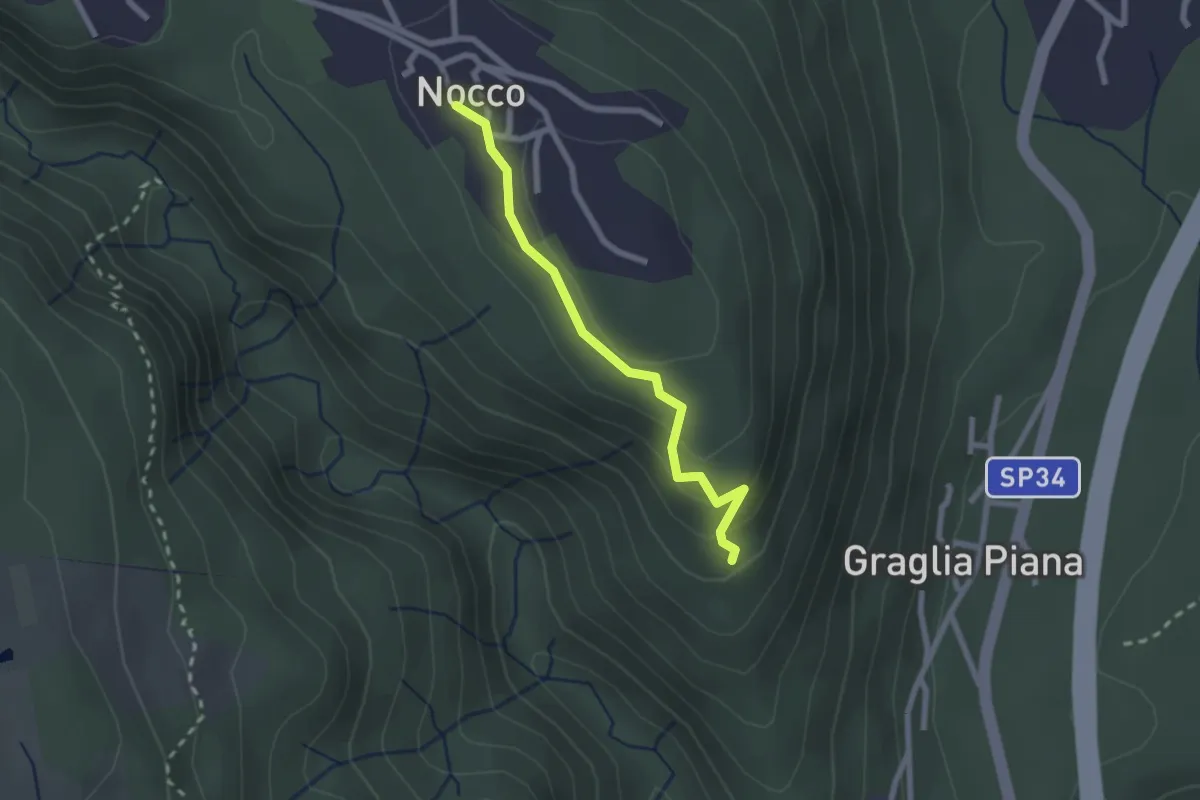
Easy · Trail
VL7b - Nocco - Bivio VL7
2.1 km · ↑ 83 m · 41 min · 10 km away
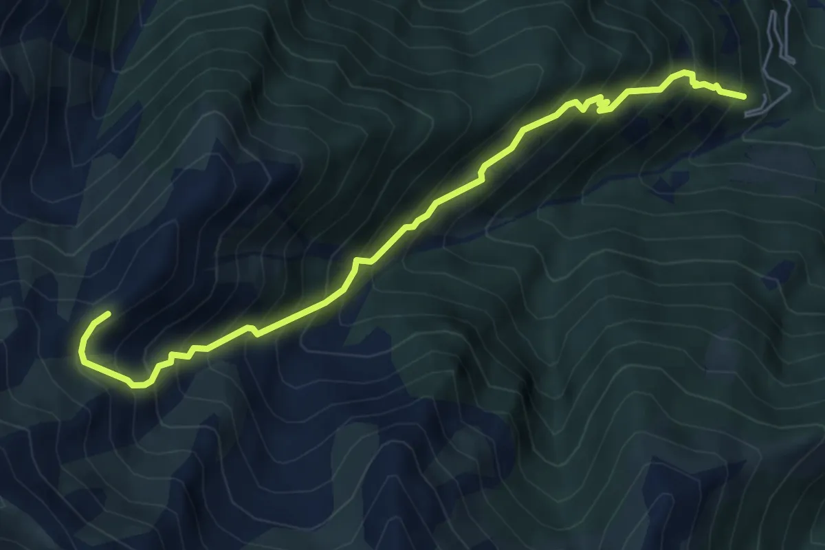
Demanding · Trail
Z07 - Sambughetto - Alpe Chignolo
6.0 km · ↑ 924 m · 3 h 26 min · 10 km away
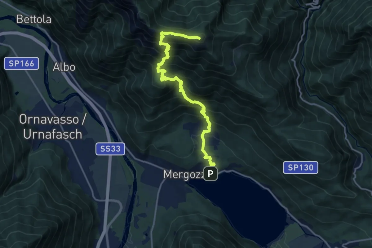
Demanding · Summit
A52 - Mergozzo - Bracchio - Vercio - Monte Faiè
12.6 km · ↑ 1272 m · 5 h 44 min · 10 km away
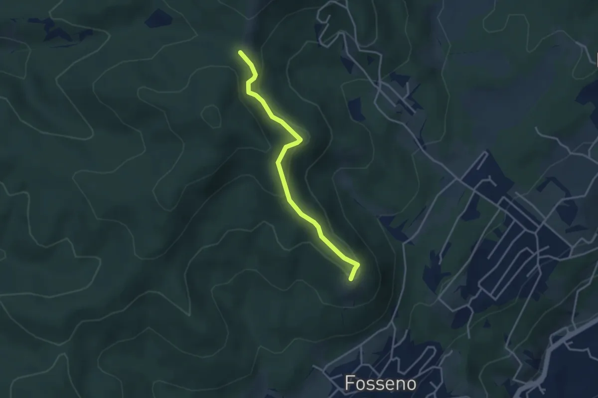
Easy · Summit
VF5 - Fosseno - Il Giogo
3.2 km · ↑ 133 m · 1 h 2 min · 10 km away
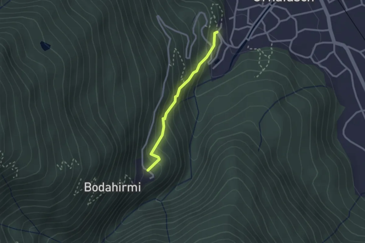
Easy · Trail
Via Crucis di Ornavasso
2.0 km · ↑ 210 m · 55 min · 10 km away
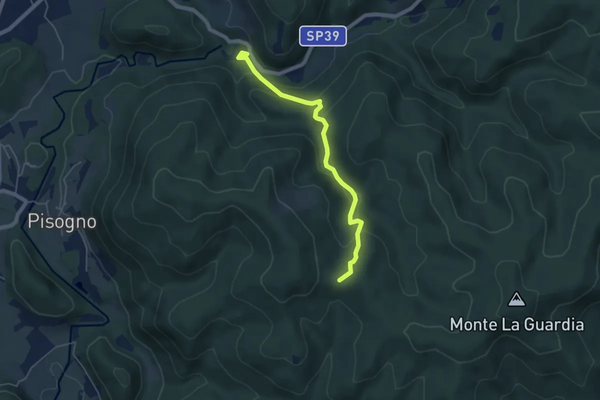
Easy · Trail
VS2 - Americano - Alpe Cascinone
4.6 km · ↑ 235 m · 1 h 35 min · 10 km away
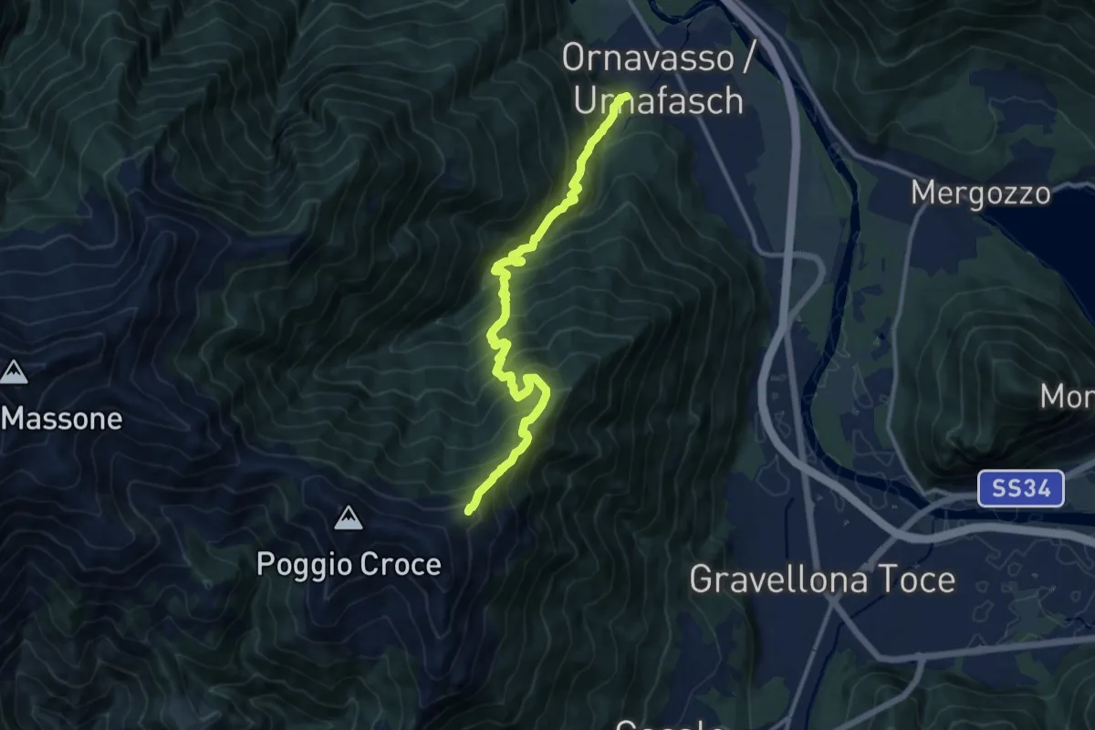
Demanding · Trail
A13 - Ornavasso - bivio T06 Monte Cerano
12.1 km · ↑ 1442 m · 5 h 59 min · 10 km away
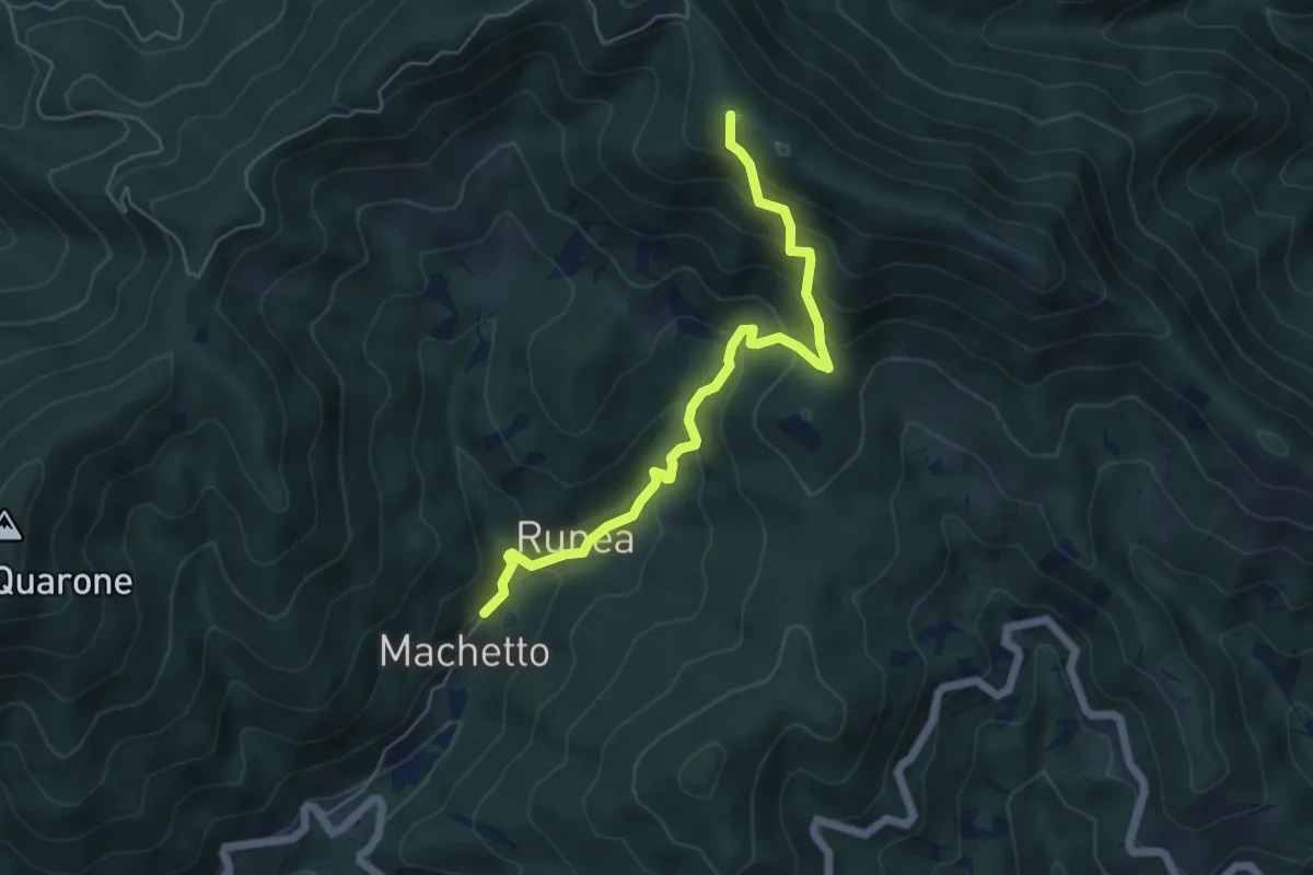
Medium · Summit
Bivio 639-640, Macchetto – Bivio VCA639-VCA640 nei pressi del Monte Vesso
5.6 km · ↑ 501 m · 2 h 24 min · 10 km away
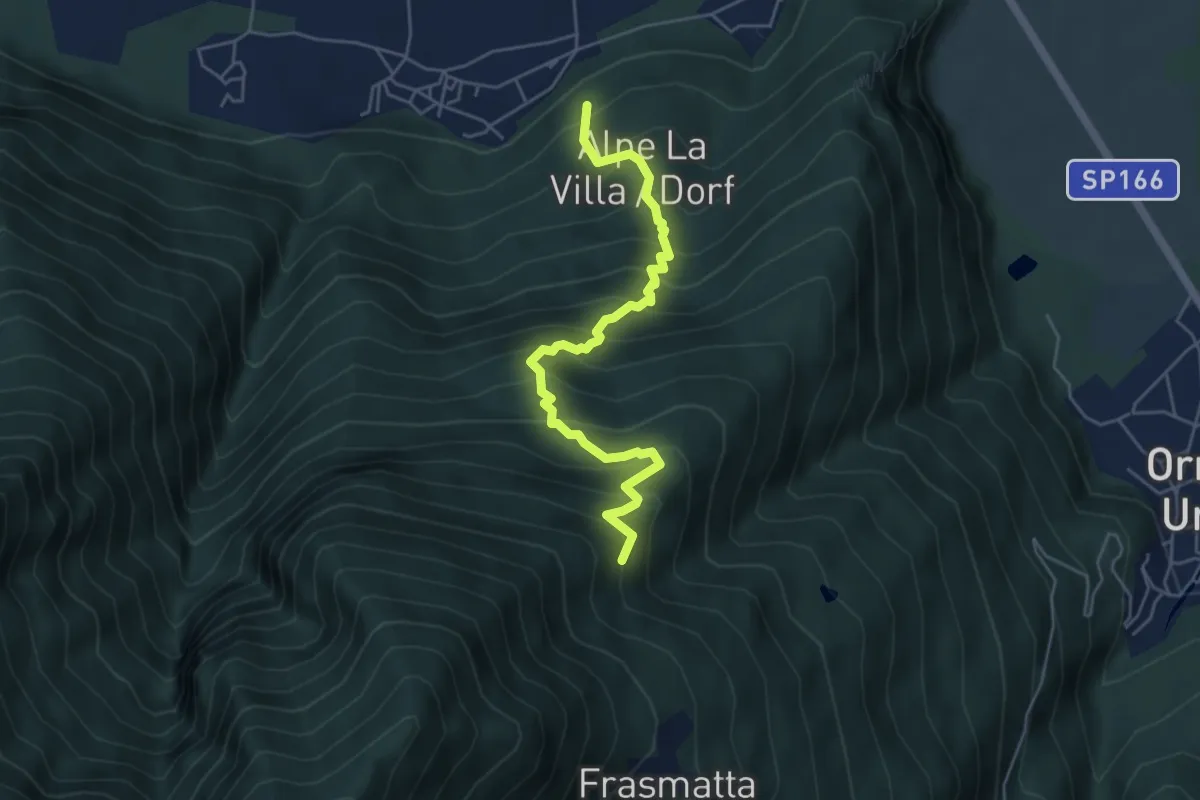
Medium · Trail
A27 - Migiandone - Alpe Magigè
5.2 km · ↑ 669 m · 2 h 40 min · 10 km away
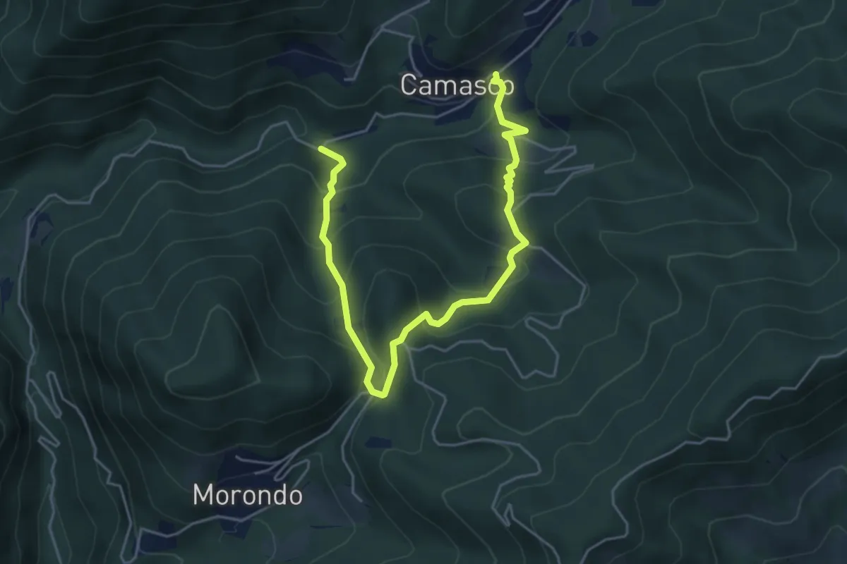
Medium · Trail
Varallo, località Mulino di Camasco – Varallo, frazione Camasco, bivio VCA629-VCA625
5.6 km · ↑ 463 m · 2 h 20 min · 10 km away
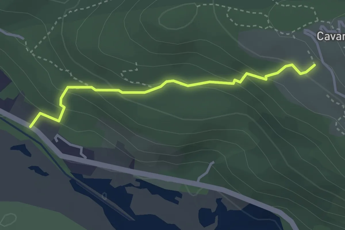
Easy · Trail
A00e - Da Fondotoce a Cavandone
2.8 km · ↑ 215 m · 1 h 7 min · 10 km away
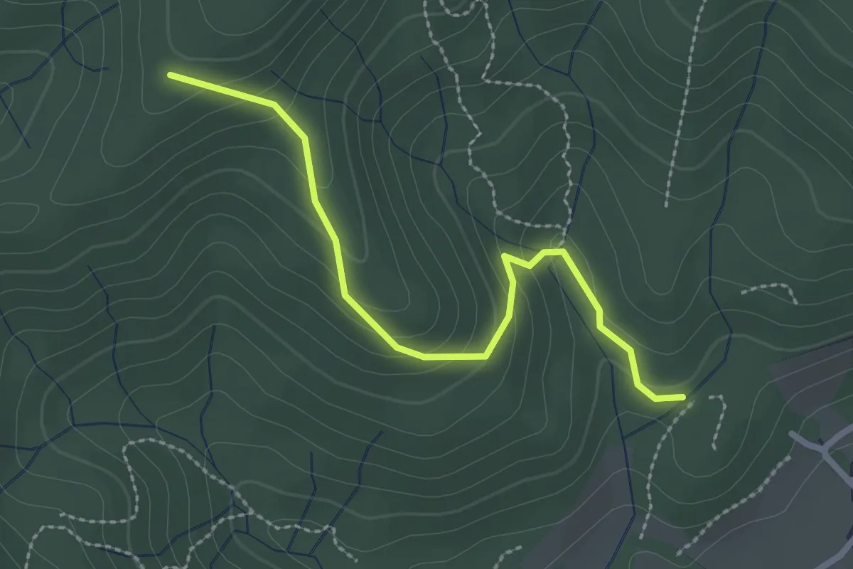
Easy · Trail
VF4 - Fosseno - Alpe Boccioli
2.6 km · ↑ 140 m · 55 min · 10 km away
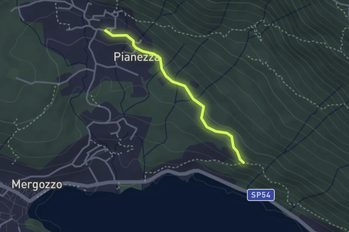
Easy · Trail
A52f - Bivio A00 - Bracchio bivio A52
2.5 km · ↑ 72 m · 45 min · 10 km away
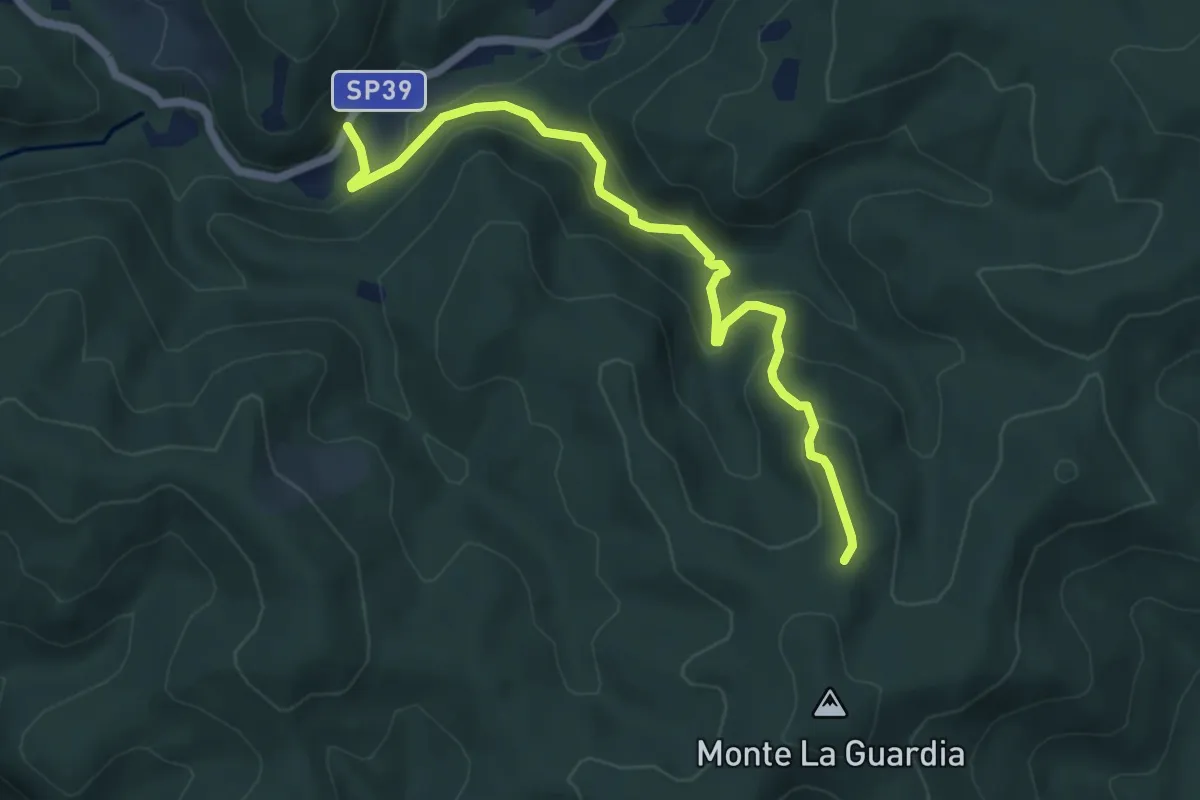
Easy · Trail
VS4 - Masseria Bernaggia - Alpe del Bosco
5.9 km · ↑ 272 m · 1 h 59 min · 10 km away
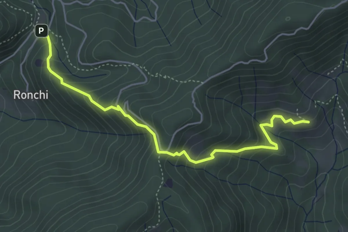
Medium · Trail
Varallo, frazione Lince, bivio VCA639-VCA632 – Varallo, Madonna delle Pecore, bivio VCA632-VCA631
4.9 km · ↑ 450 m · 2 h 8 min · 10 km away
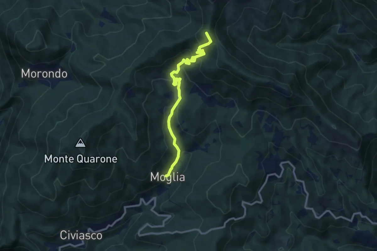
Medium · Summit
Bivio 639-640, Macchetto – Bivio 639-T32, Sella del Riale d'Acqua
7.6 km · ↑ 623 m · 3 h 8 min · 10 km away
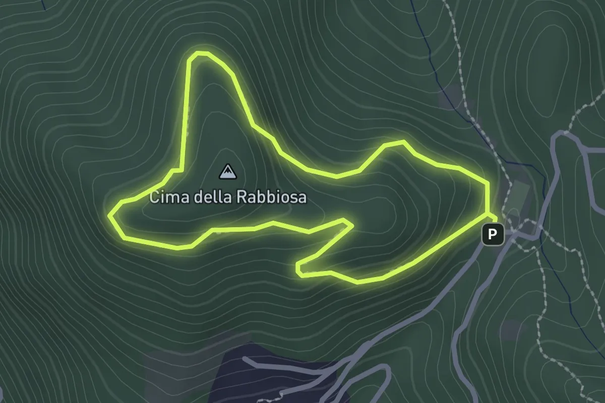
Medium · Summit
Madonna delle Pecore – Cima della Rabbiosa
2.2 km · ↑ 137 m · 51 min · 10 km away
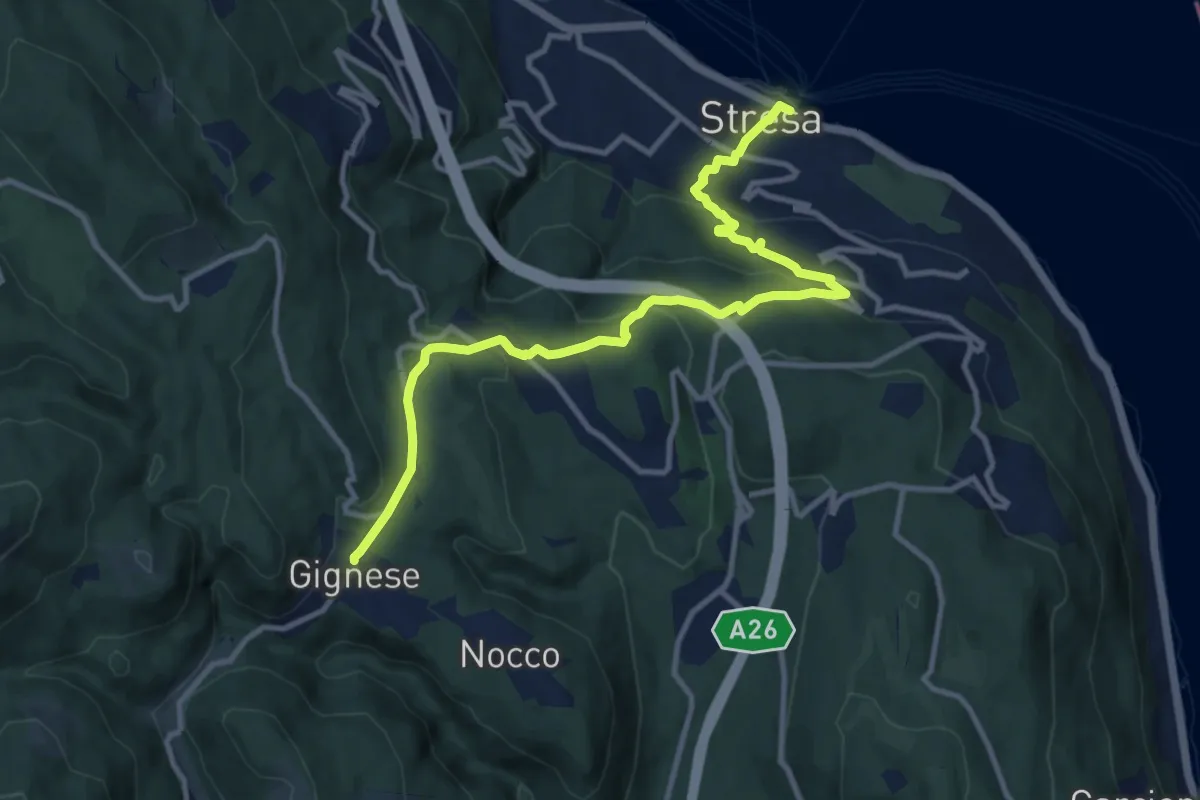
Medium · Trail
VL5 - Stresa - Gignese
12.2 km · ↑ 502 m · 3 h 59 min · 10 km away
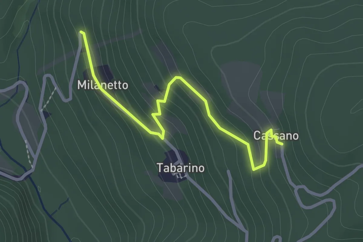
Easy · Trail
VU7a - Bivio VU5 - Cassano
2.5 km · ↑ 137 m · 54 min · 10 km away
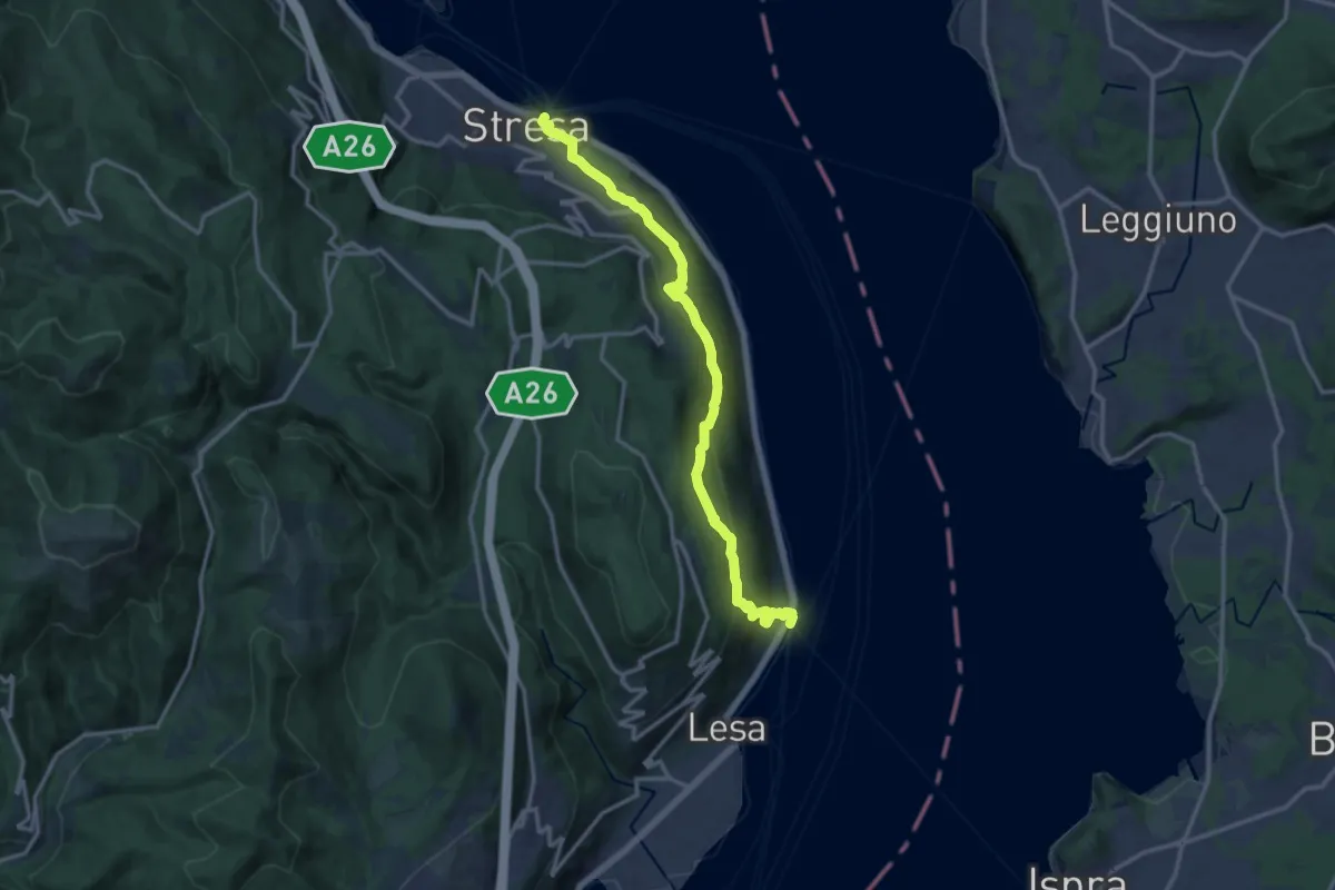
Medium · Trail
VL2 - Stresa - Belgirate
14.4 km · ↑ 634 m · 4 h 46 min · 10 km away
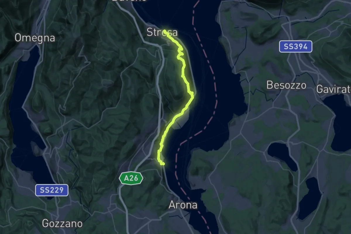
Medium · Trail
Cammino del Lago Maggiore
14.6 km · ↑ 450 m · 4 h 37 min · 10 km away
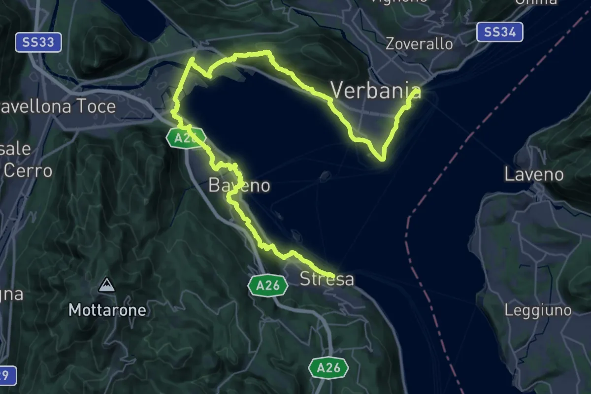
Demanding · Trail
Cammino del Lago Maggiore
23.0 km · ↑ 579 m · 7 h · 10 km away
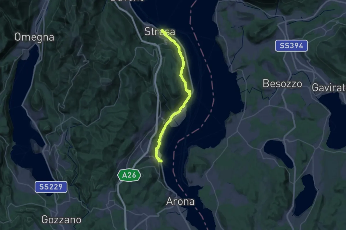
Medium · Trail
Grand Tour del Lago Maggiore ® - Tappa 2 - Stresa - Meina
13.8 km · ↑ 406 m · 4 h 20 min · 10 km away
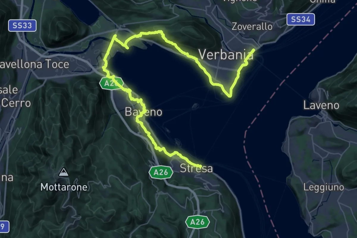
Demanding · Trail
Grand Tour del Lago Maggiore ® - Tappa 1 - Verbania Intra - Stresa
23.6 km · ↑ 594 m · 7 h 11 min · 10 km away
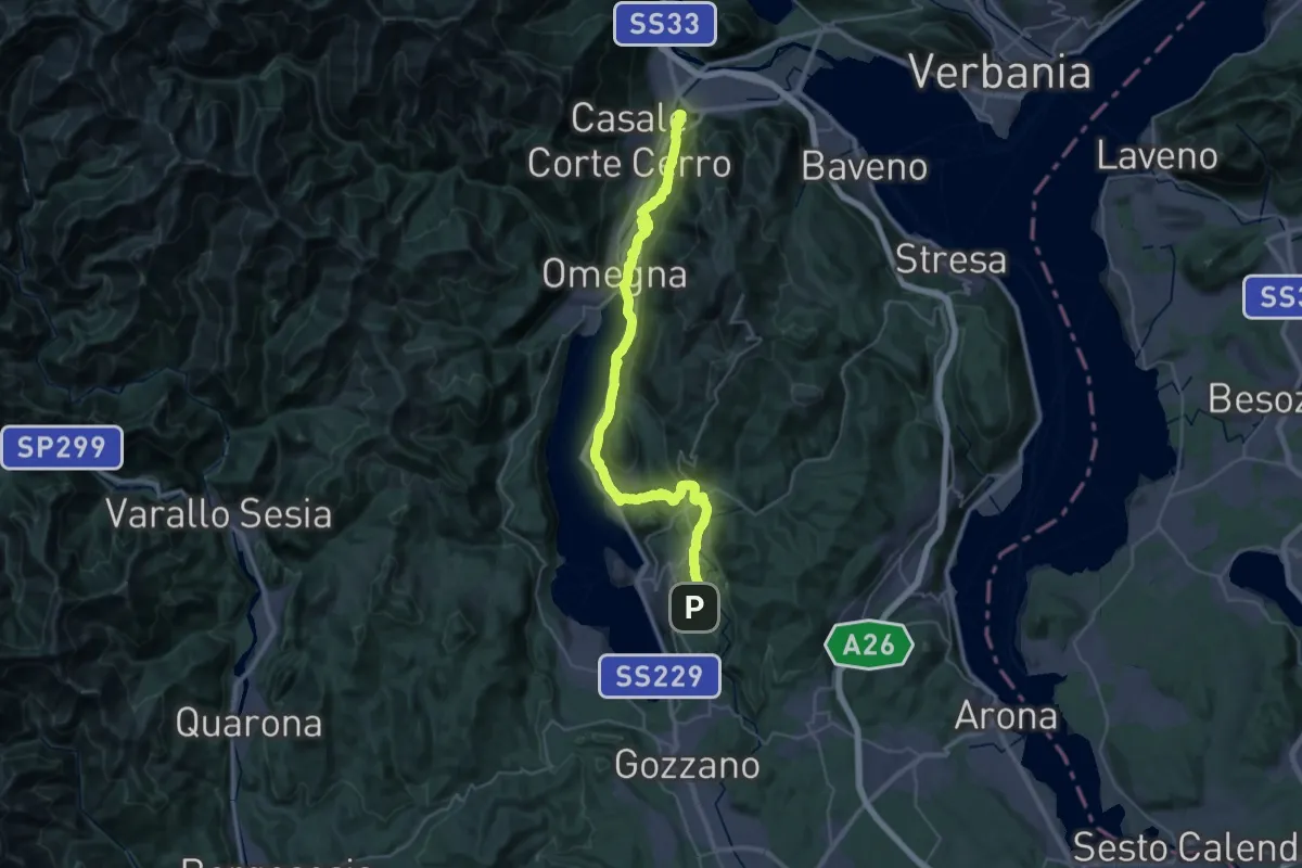
Demanding · Summit
Grand Tour del Lago d'Orta - Tappa 2
43.1 km · ↑ 1160 m · 12 h 41 min · 10 km away
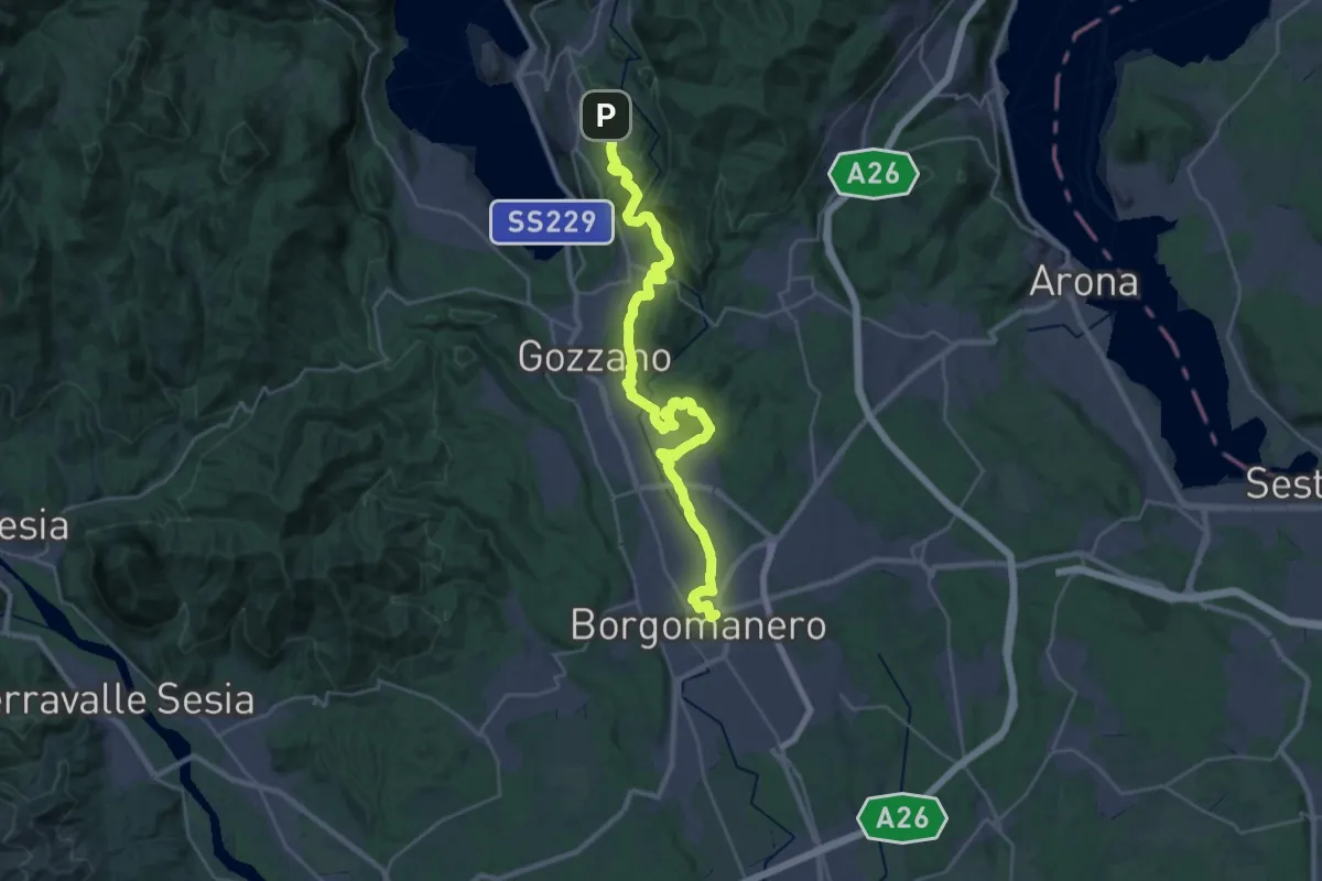
Medium · Trail
Grand Tour del Lago d'Orta - Tappa 1
16.4 km · ↑ 183 m · 4 h 37 min · 10 km away