Trails near Omegna
325 hikes starting within 15 km, nearest first.
Nearest first, page 4 of 7
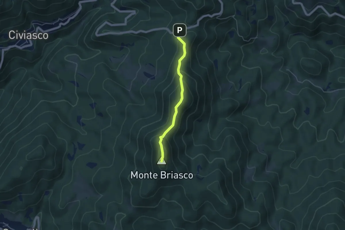
Medium · Summit
Bivio 643-T36E, Monte Briasco – Bivio 643-644
3.9 km · ↑ 286 m · 1 h 32 min · 10 km away
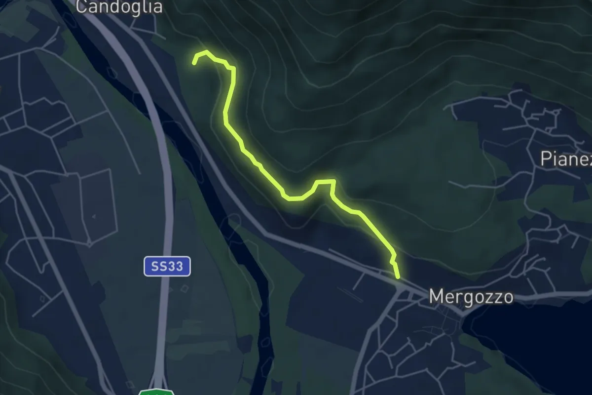
Medium · Trail
A00v - Strada vicinale del Poncione
4.2 km · ↑ 264 m · 1 h 34 min · 10 km away
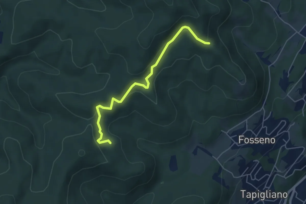
Easy · Trail
VF2 - Bivio VF3 - Bivio VF5
4.5 km · ↑ 230 m · 1 h 34 min · 11 km away
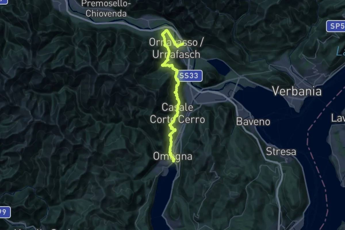
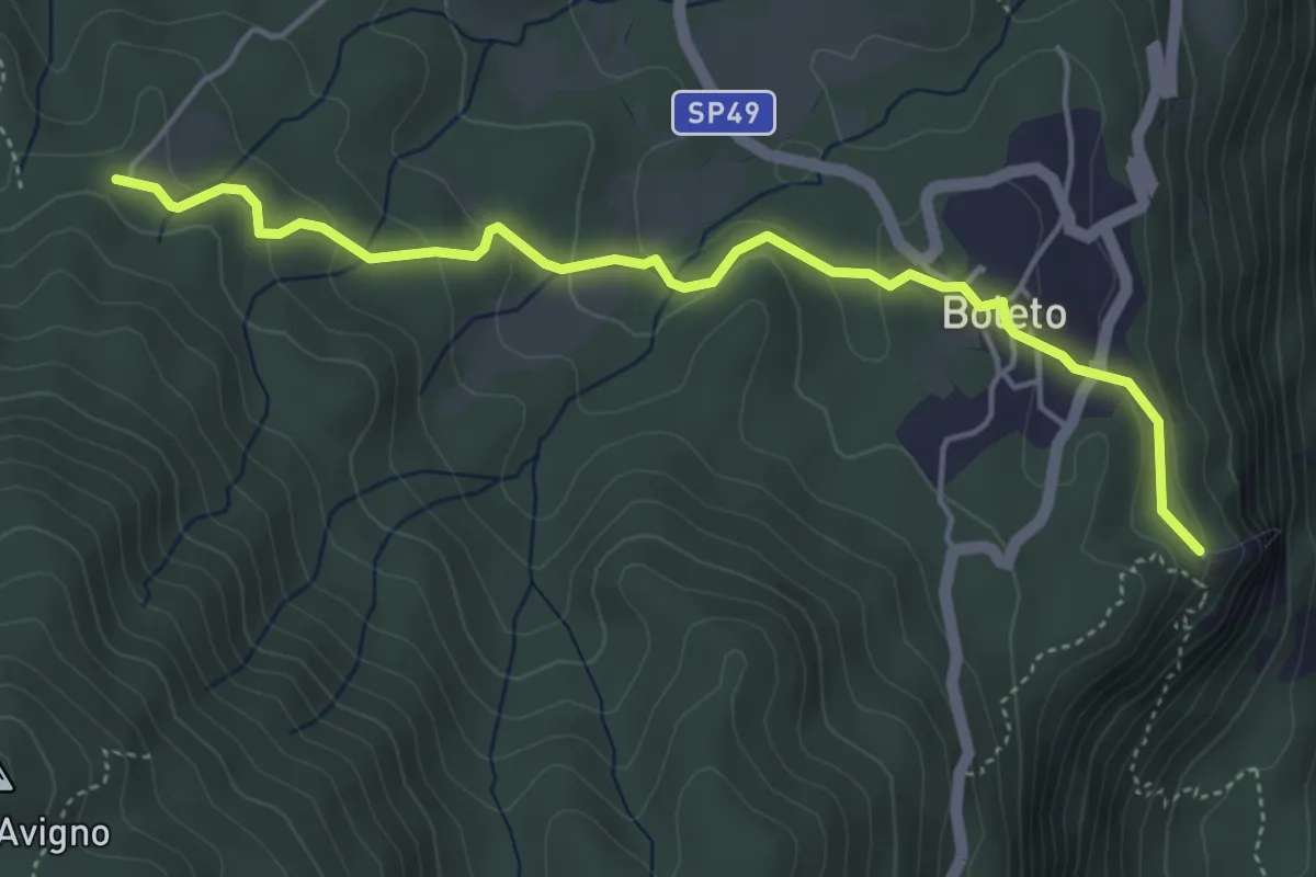
Demanding · Trail
Grand Tour del Lago d'Orta - Tappa 3
20.9 km · ↑ 1340 m · 8 h 5 min · 11 km away
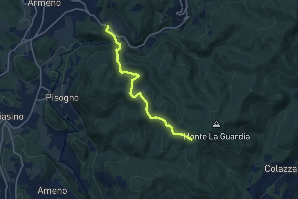
Easy · Trail
T36a - Madonna del Sasso - Bivio T36
4.9 km · ↑ 198 m · 1 h 35 min · 11 km away
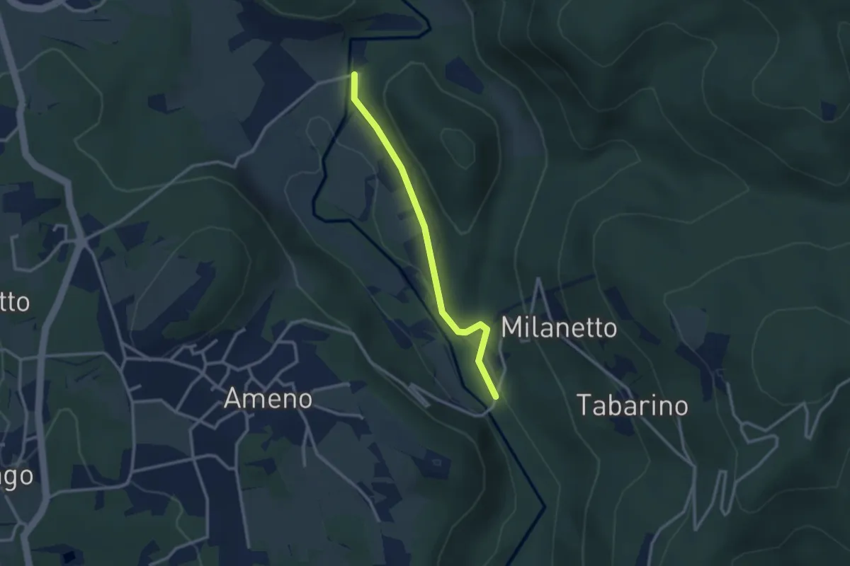
Medium · Trail
VS1 - Americano - Bivio V00
7.7 km · ↑ 437 m · 2 h 46 min · 11 km away
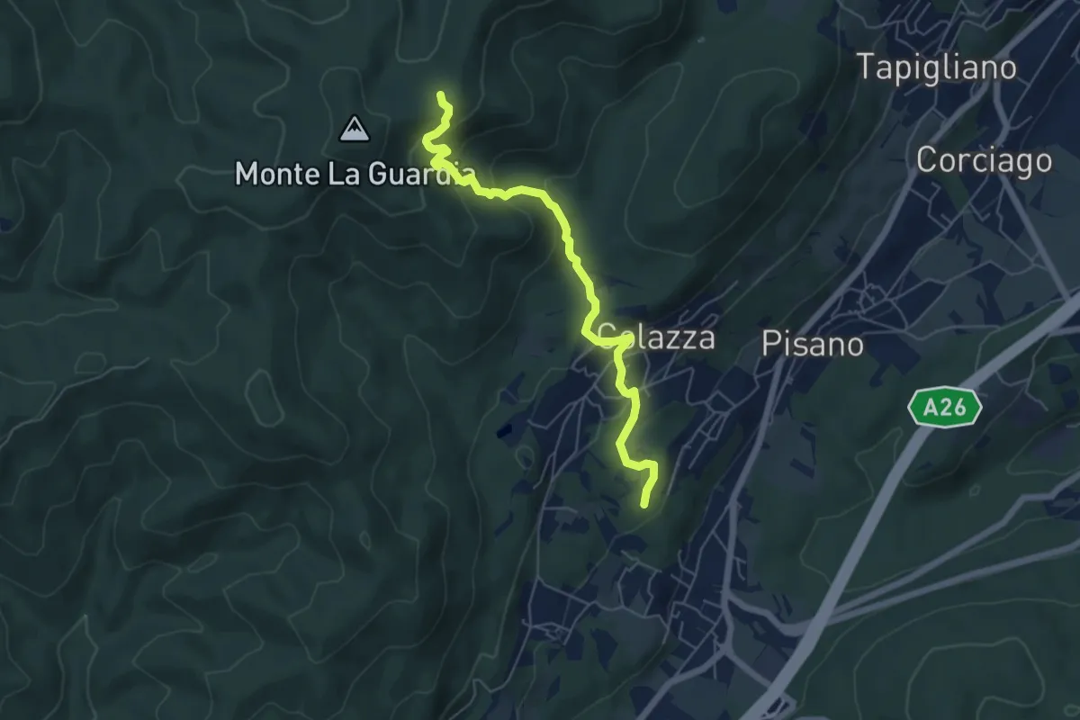
Easy · Trail
VU5c - Ameno - Ponte in Pietra
2.5 km · ↑ 61 m · 43 min · 11 km away
Medium · Trail
VE5 - Colazza - Alpe del Bosco
5.7 km · ↑ 319 m · 2 h 3 min · 11 km away
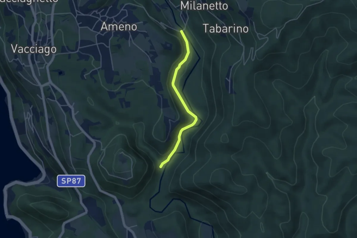
Easy · Trail
VU2b - La Fucina - Ameno
3.6 km · ↑ 104 m · 1 h 4 min · 11 km away
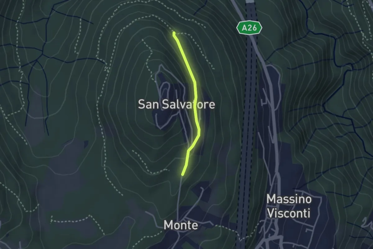
Easy · Trail
VH5a - Bivio VH6 - Bivio VH5
2.1 km · ↑ 83 m · 41 min · 11 km away
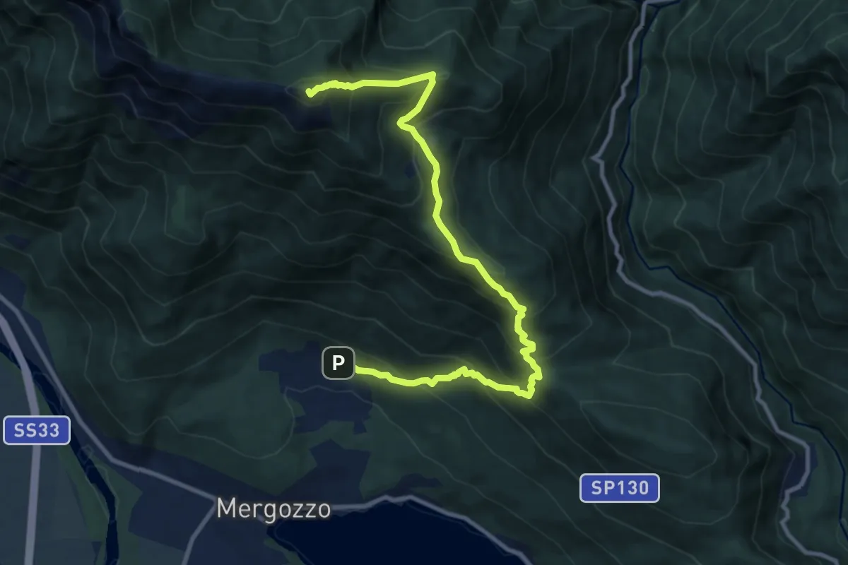
Demanding · Summit
A54 - Bracchio - Cappella di Erfo - Monte Faiè
10.9 km · ↑ 1016 m · 4 h 46 min · 11 km away
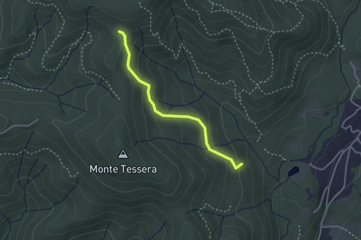
Medium · Trail
VE3 - Bivio VE2 - Viganate
2.6 km · ↑ 159 m · 57 min · 11 km away
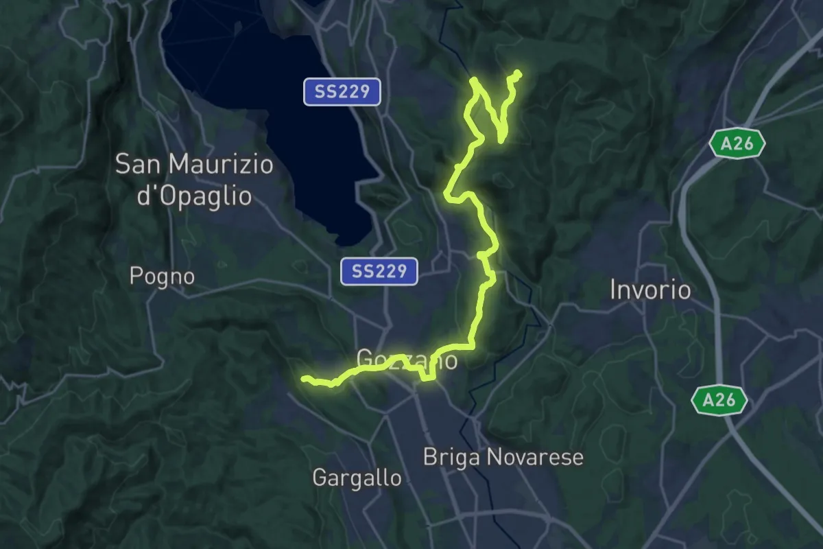
Demanding · Trail
Sentiero Novara tappa 16
24.5 km · ↑ 715 m · 7 h 20 min · 11 km away
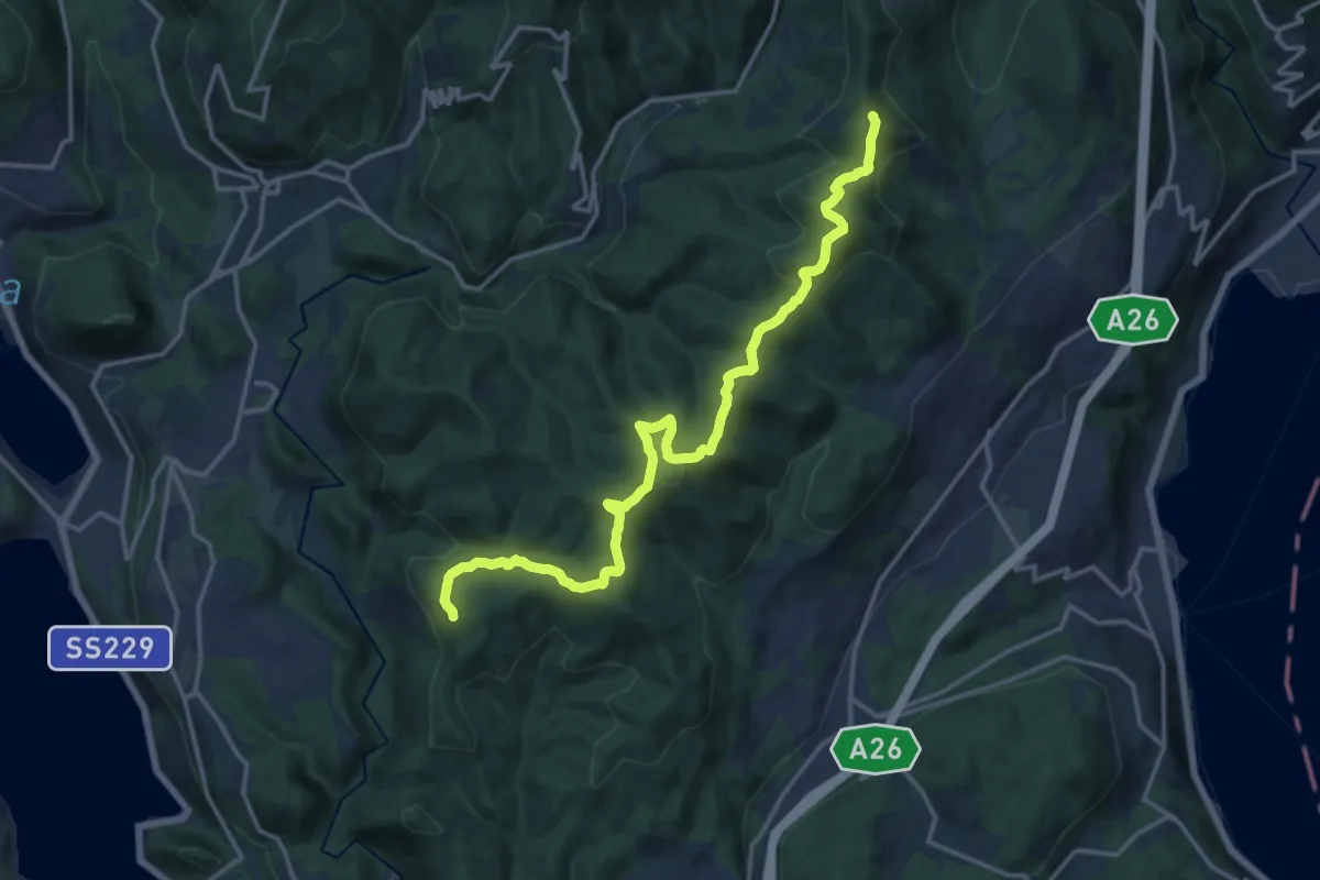
Medium · Summit
Sentiero Novara tappa 15
17.1 km · ↑ 641 m · 5 h 26 min · 11 km away
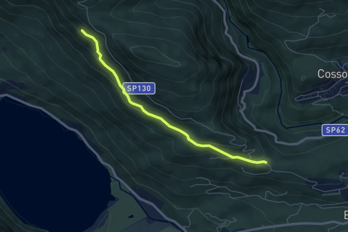
Medium · Trail
P03 - Oratorio di Santino - bivio A54 nei pressi Cappella di Erfo
5.4 km · ↑ 235 m · 1 h 47 min · 11 km away
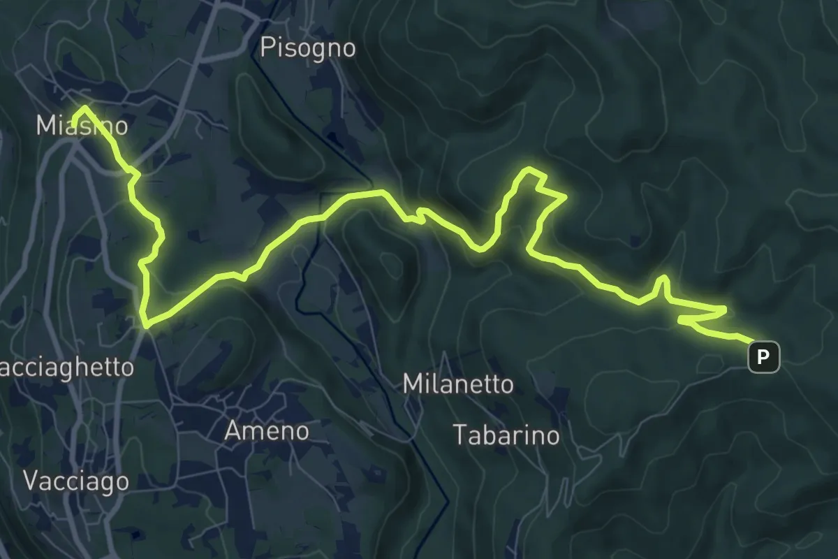
Medium · Trail
VU1 - Miasino - Cappella del Vago
12.9 km · ↑ 544 m · 4 h 13 min · 11 km away
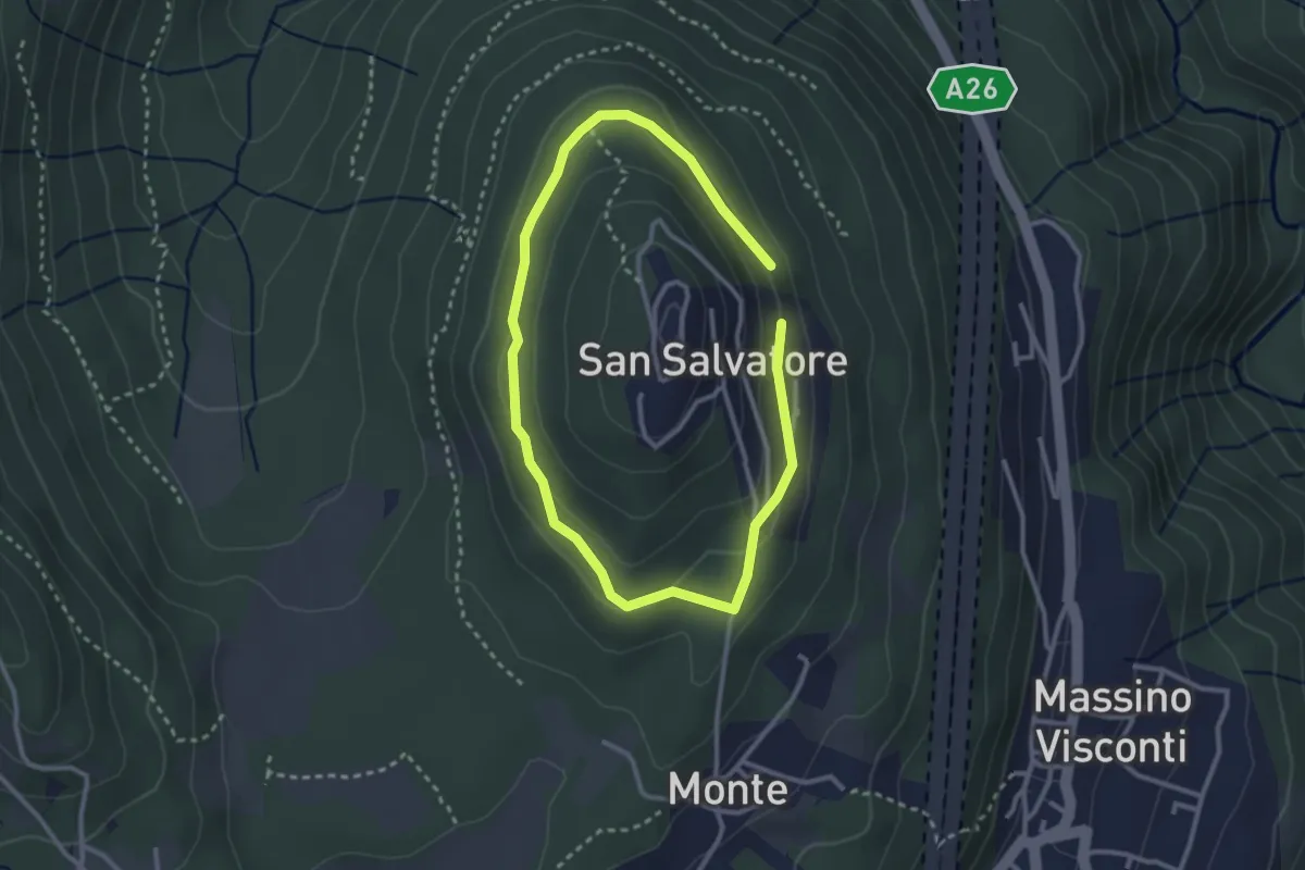
Easy · Trail
Anello di mezzo di San Salvatore
2.4 km · ↑ 58 m · 43 min · 11 km away
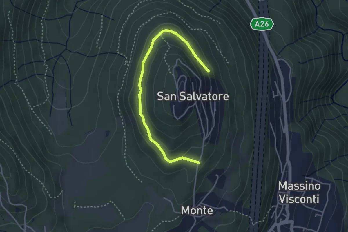
Easy · Trail
VH5 - Anello di mezzo di San Salvatore
3.6 km · ↑ 66 m · 59 min · 11 km away
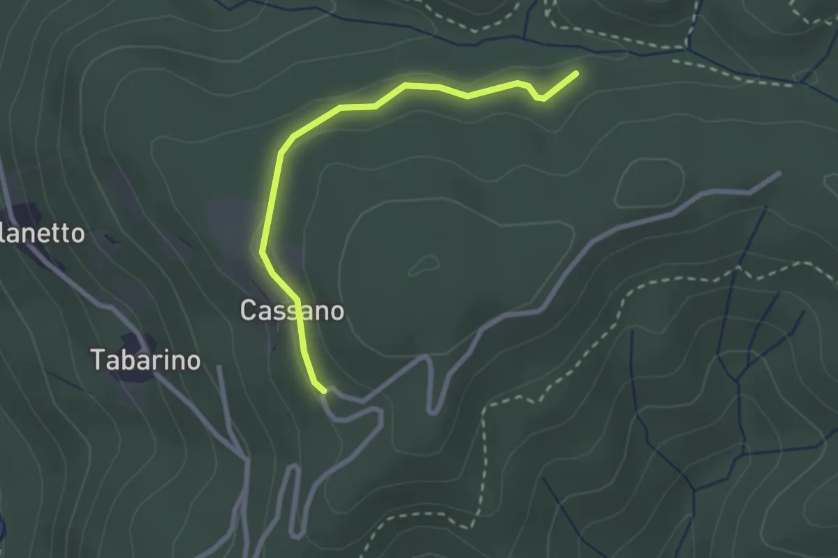
Easy · Trail
VU7 - Cassano - Cappella del Vago
2.3 km · ↑ 46 m · 39 min · 11 km away
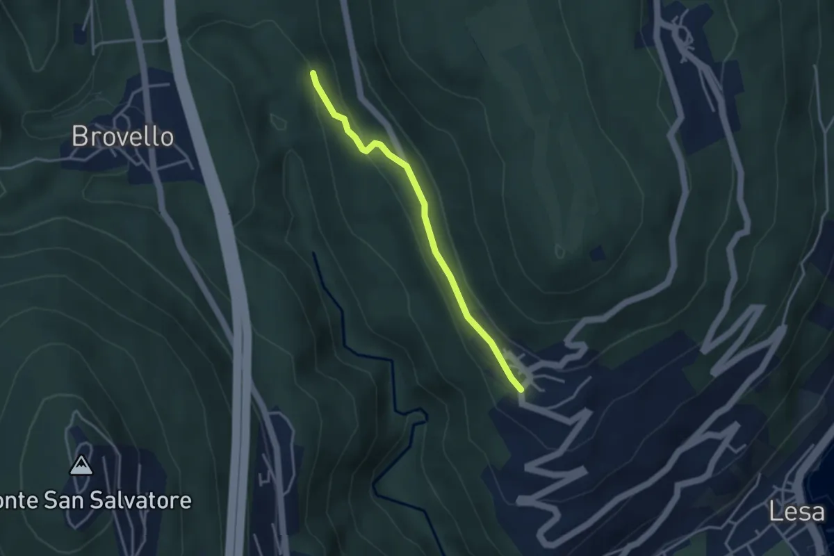
Easy · Trail
VL7c - Carpugnino - Comnago
3.1 km · ↑ 91 m · 55 min · 11 km away
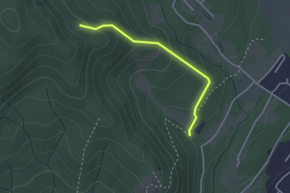
Easy · Trail
VF7 - Sasso del Pizzo - Alpe Cima
2.2 km · ↑ 158 m · 52 min · 11 km away
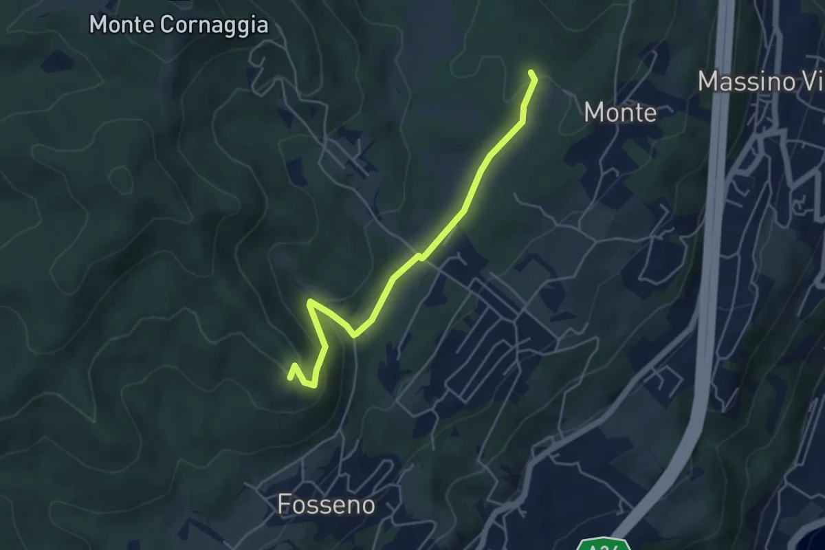
Easy · Summit
VF7a - Cascina Pianzaghi - Sasso del Pizzo
4.5 km · ↑ 154 m · 1 h 23 min · 11 km away
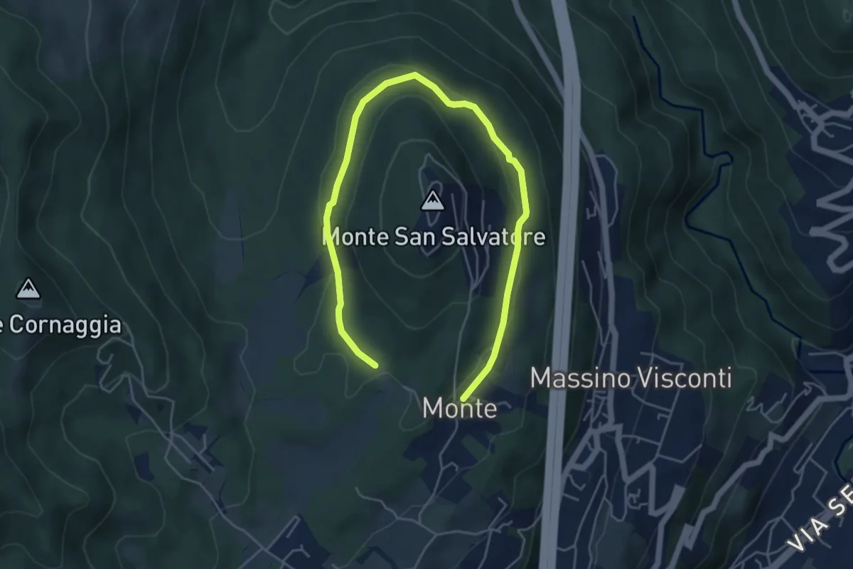
Easy · Trail
VH6 - Anello basso di San Salvatore
6.5 km · ↑ 140 m · 1 h 51 min · 11 km away
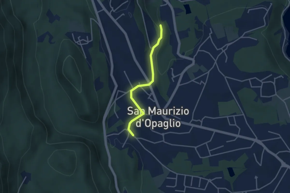
Easy · Trail
San Maurizio d'Opaglio, bivio NOAT37A-NOAT37A – San Maurizio d'Opaglio, bivio NOAT38-NOA37A
2.7 km · ↑ 48 m · 44 min · 11 km away
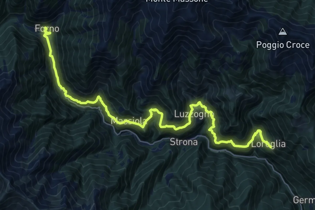
Medium · Trail
Grata Gamul Trekking -Tappa 6
12.4 km · ↑ 715 m · 4 h 46 min · 11 km away
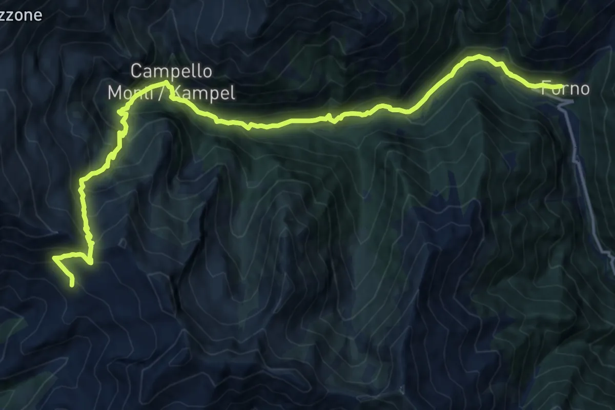
Demanding · Cabin
Grata Gamul Trekking - Tappa 3
17.4 km · ↑ 1244 m · 6 h 48 min · 11 km away
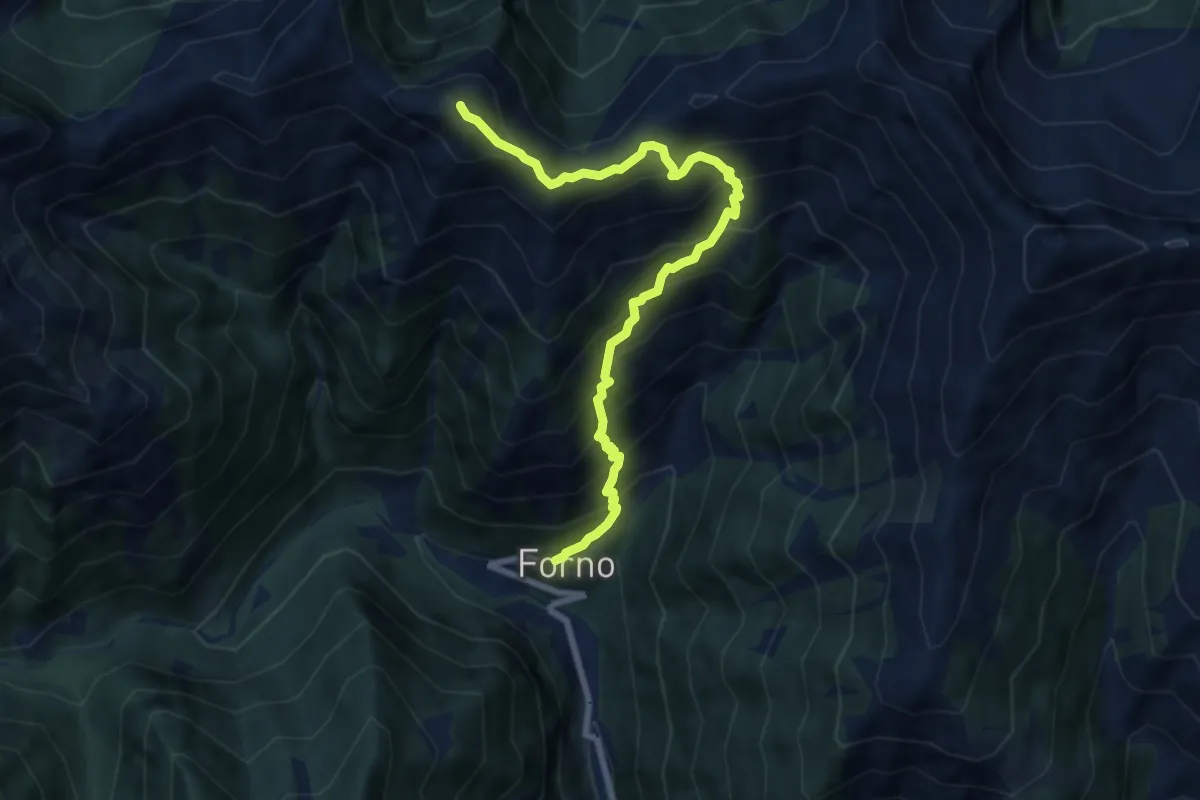
Demanding · Summit
Z10 - Forno - Mazza dell'Inferno
8.3 km · ↑ 1011 m · 4 h 9 min · 11 km away
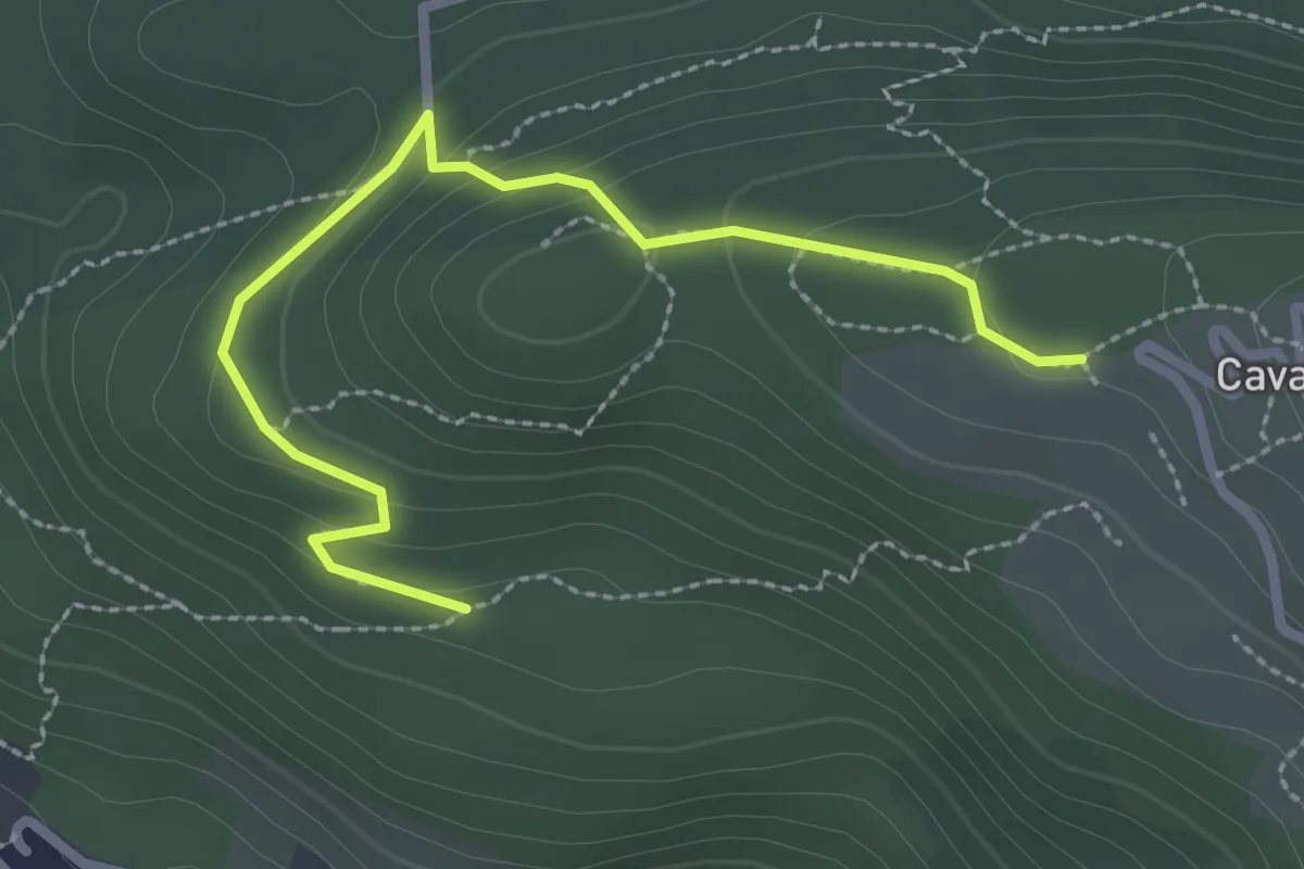
Easy · Trail
A00f - Bivio A00e - Cavandone
2.8 km · ↑ 122 m · 56 min · 11 km away
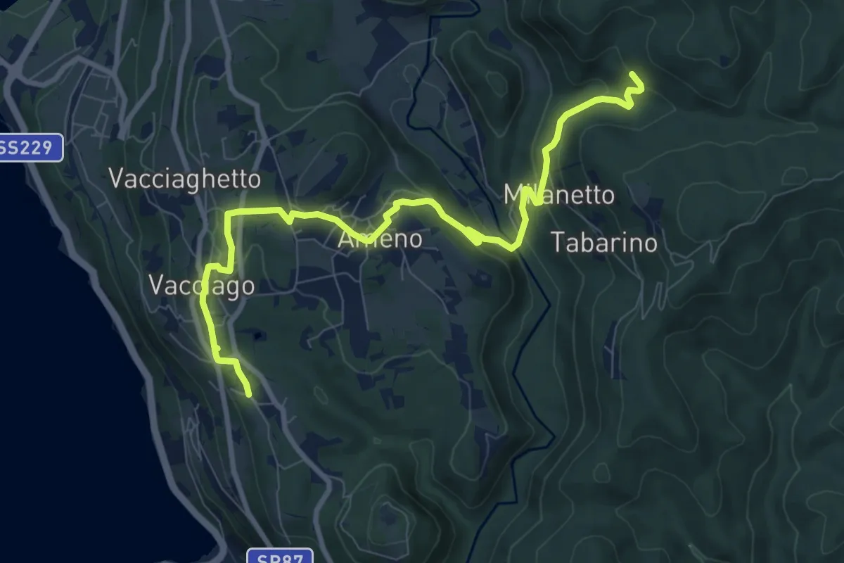
Medium · Trail
VU5 - Lortallo - Tacchino
9.5 km · ↑ 377 m · 3 h 3 min · 11 km away
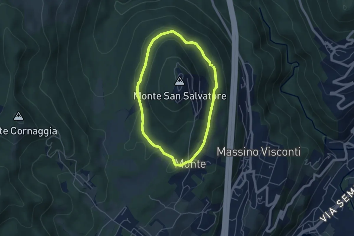
Easy · Trail
Anello basso di San Salvatore
3.7 km · ↑ 85 m · 1 h 7 min · 11 km away
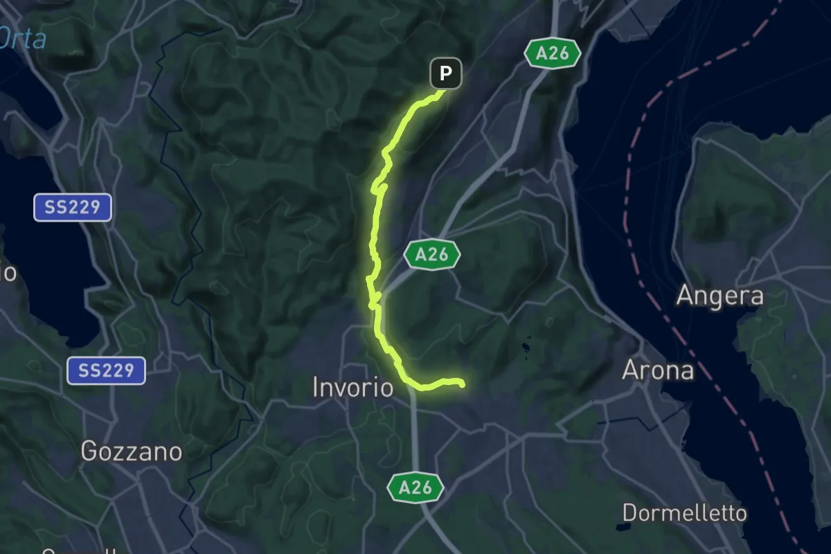
Medium · Trail
Sentiero Novara tappa 14
17.5 km · ↑ 430 m · 5 h 4 min · 11 km away
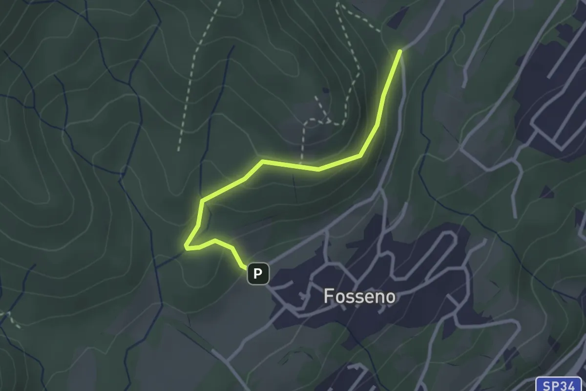
Easy · Trail
VF6 - Fosseno - Lavarina
2.5 km · ↑ 139 m · 54 min · 11 km away
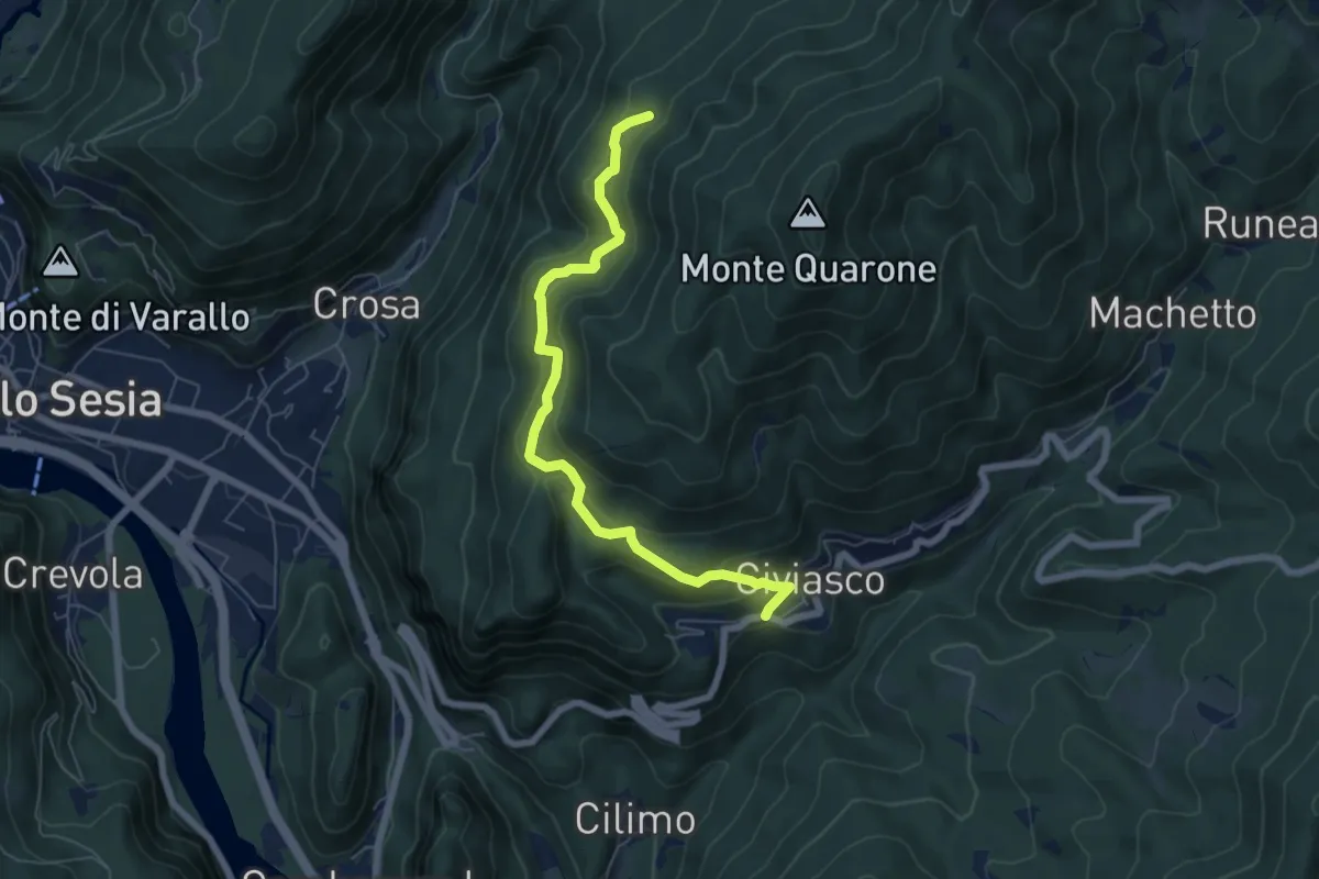
Demanding · Trail
Civiasco, bivio VCA634-VCA636 – Varallo, frazione Oro, bivio VCA636-VCA632-VCA618
6.5 km · ↑ 363 m · 2 h 20 min · 11 km away
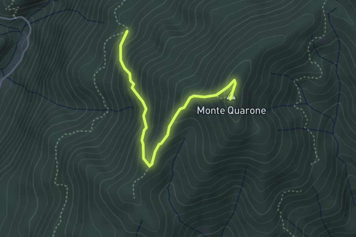
Medium · Summit
Alpe Volpera – Varallo, Monte Quarone
3.7 km · ↑ 353 m · 1 h 38 min · 11 km away
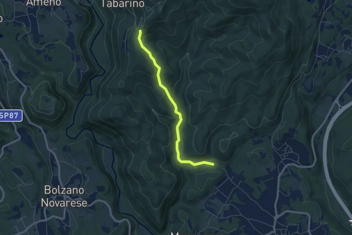
Easy · Trail
VE6 - Invorio - Pecorino
5.4 km · ↑ 193 m · 1 h 41 min · 11 km away
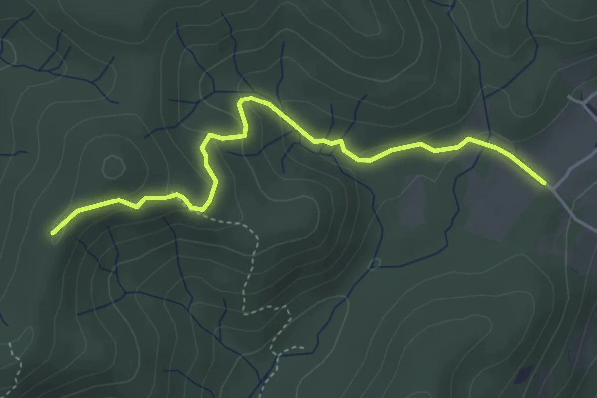
Easy · Trail
VF3 - Fosseno - Alpe del Bosco
4.1 km · ↑ 214 m · 1 h 26 min · 11 km away
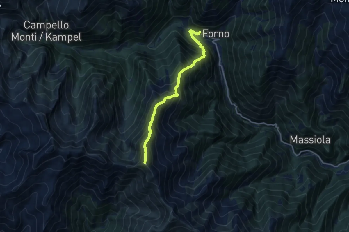
Expert · Summit
Z11 - Forno - Monte Forcolaccia
9.2 km · ↑ 1184 m · 4 h 45 min · 11 km away
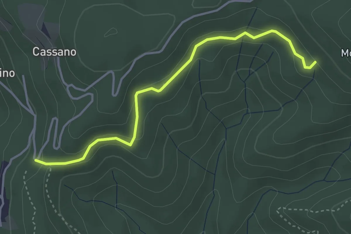
Easy · Trail
VE7 - Pecorino - Tre Fontane
3.6 km · ↑ 155 m · 1 h 11 min · 11 km away
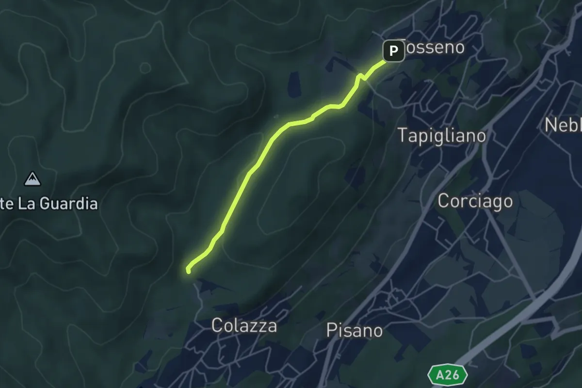
Easy · Trail
VF1 - Colazza - Fosseno
3.9 km · ↑ 54 m · 1 h 3 min · 11 km away
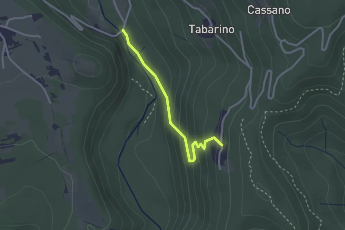
Easy · Trail
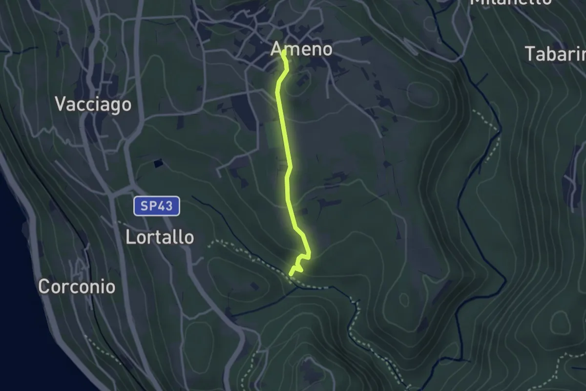
VU3 - Ameno - Pecorino
2.2 km · ↑ 158 m · 52 min · 11 km away
Easy · Trail
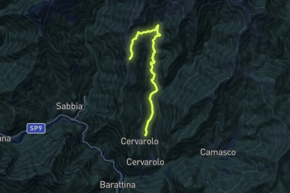
VU4 - Ameno - Monte Mesma
2.3 km · ↑ 72 m · 41 min · 11 km away
Demanding · Trail
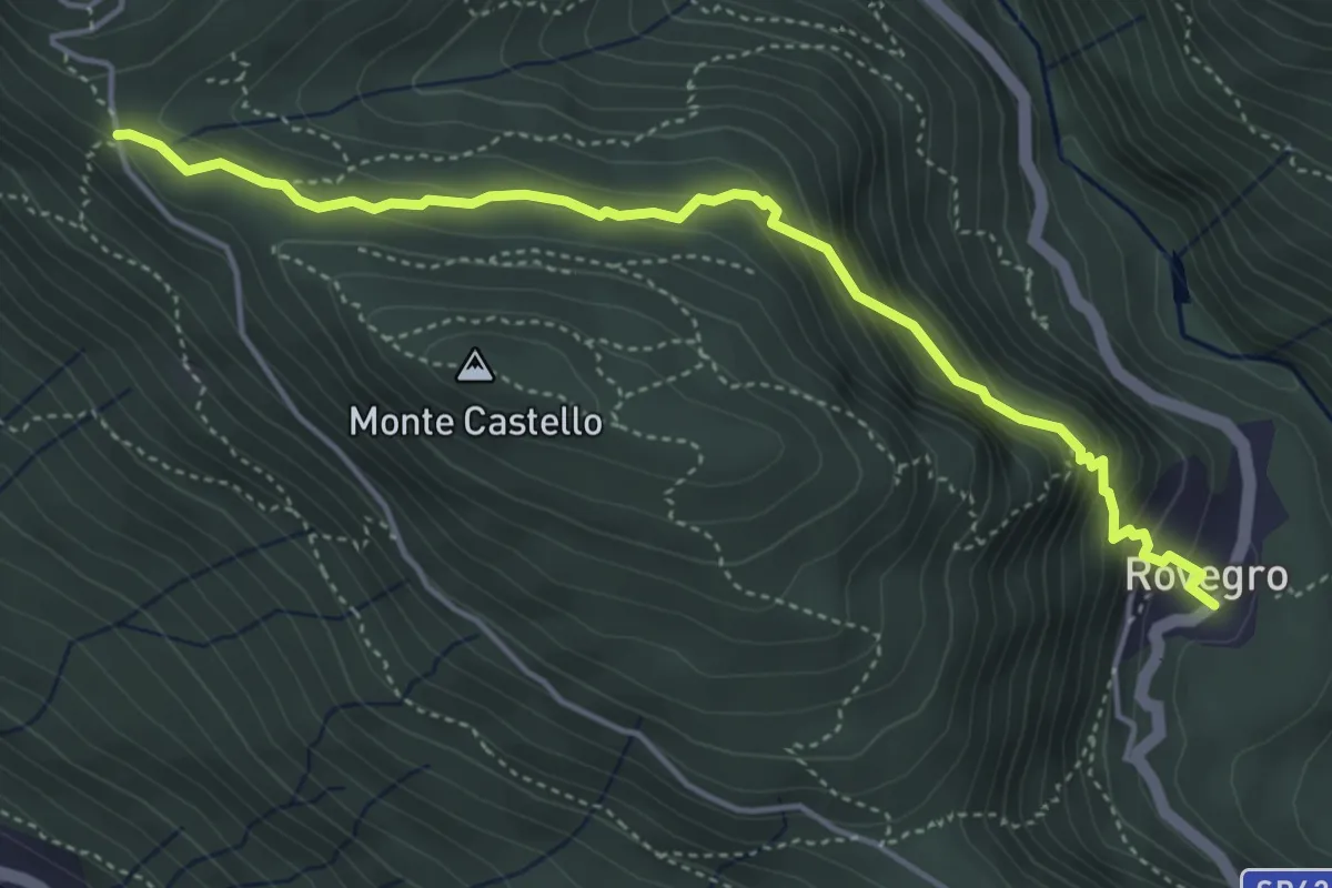
Sassello – Bivio 620-621-622, Sella Vaneccio
12.1 km · ↑ 914 m · 4 h 50 min · 11 km away
Medium · Trail
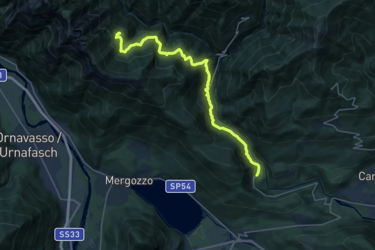
P05 - Cappella di Erfo - Rovegro
4.7 km · ↑ 341 m · 1 h 51 min · 12 km away
Demanding · Cabin
P07 - Rovegro - Alpe Buè
17.4 km · ↑ 1423 m · 7 h 12 min · 12 km away
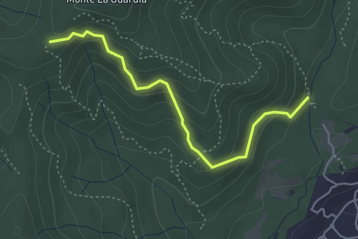
Easy · Trail
VE4 - Colazza - Alpe Gallone
3.6 km · ↑ 249 m · 1 h 23 min · 12 km away
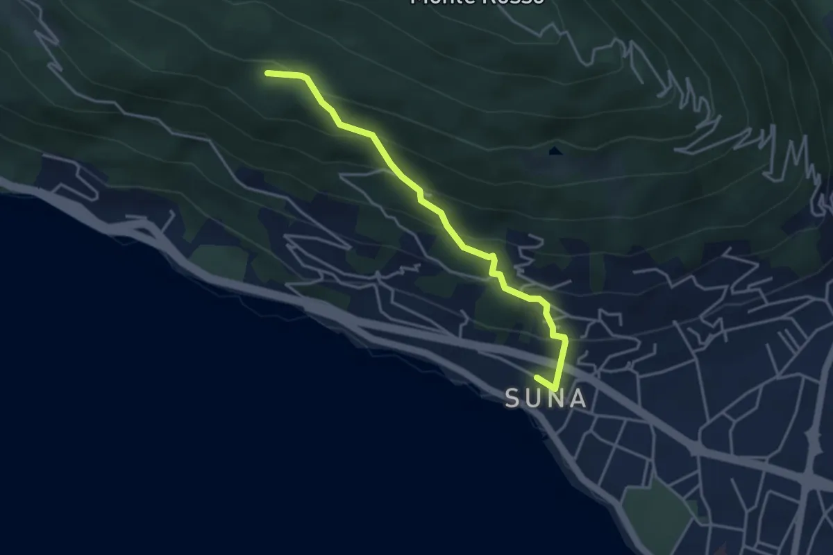
Medium · Trail
P01c - Sentiero della Bergamina
3.6 km · ↑ 295 m · 1 h 29 min · 12 km away
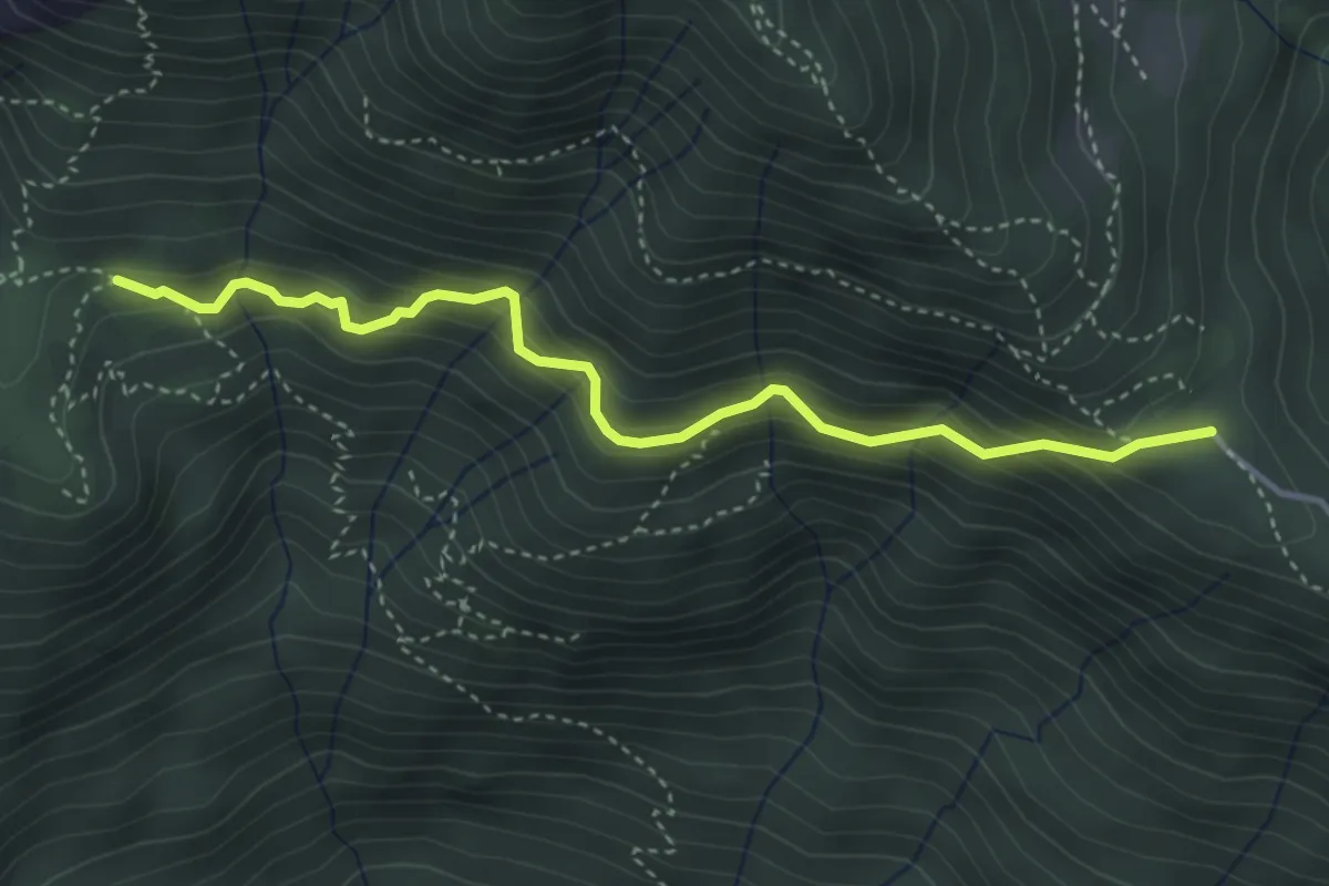
Medium · Trail
A52b - da Vercio a Alpe Ruspesso (Ompio)
3.9 km · ↑ 332 m · 1 h 39 min · 12 km away
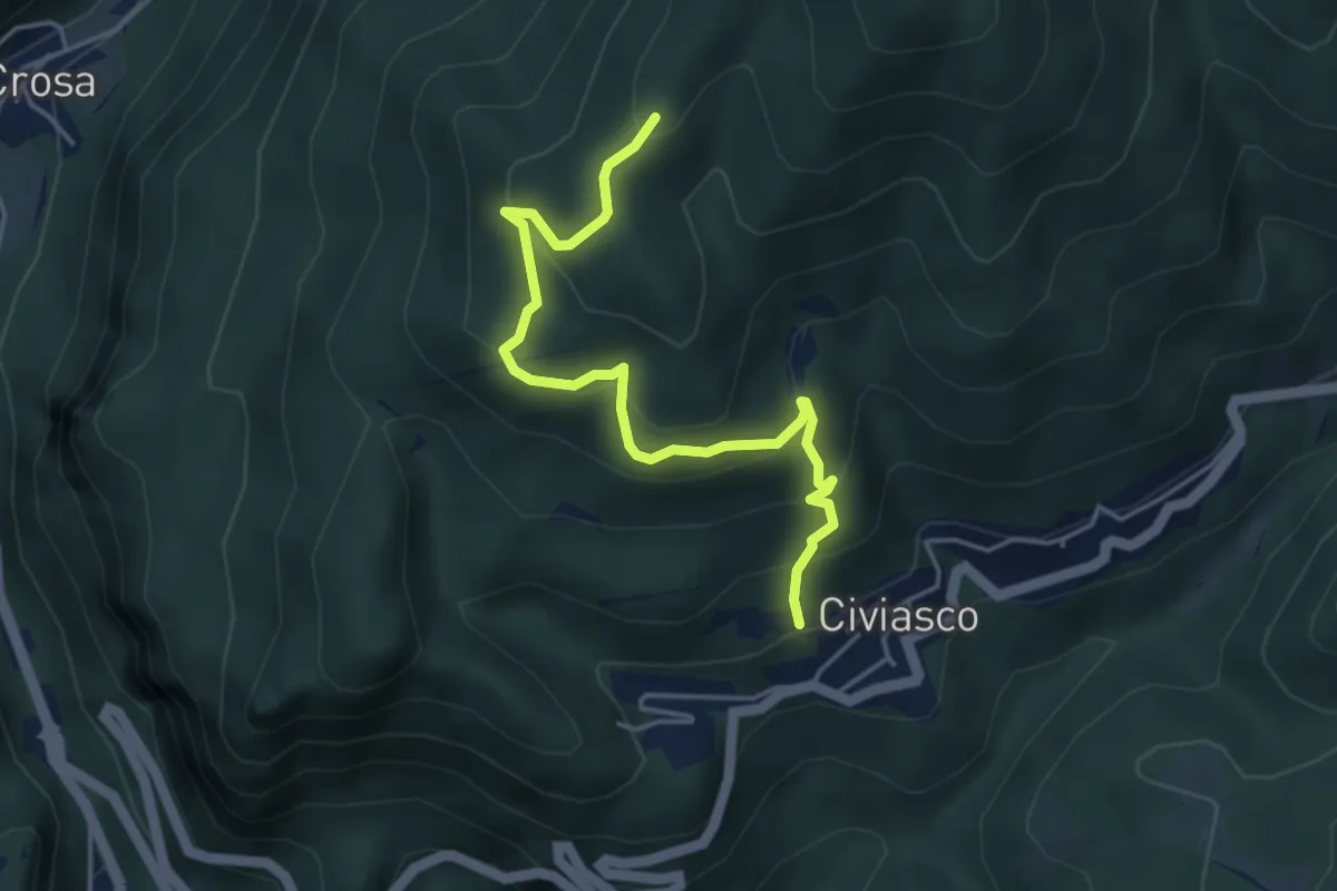
Demanding · Trail
Civiasco – Alpe Fajel, bivio VCA633-VCA637
4.6 km · ↑ 350 m · 1 h 51 min · 12 km away