Trails near Omegna
325 hikes starting within 15 km, nearest first.
Nearest first, page 5 of 7
Easy · Trail
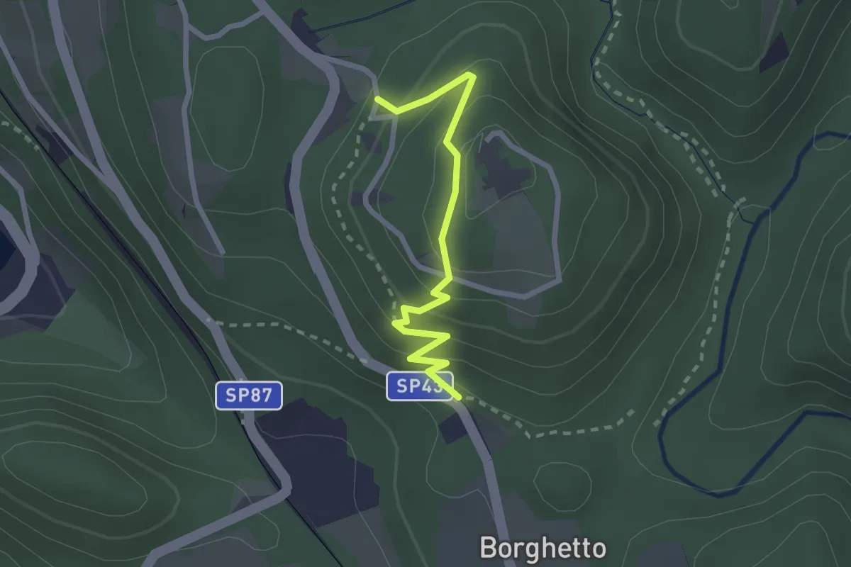
Vie Crucis Monte Mesma
2.3 km · ↑ 197 m · 58 min · 12 km away
Medium · Trail
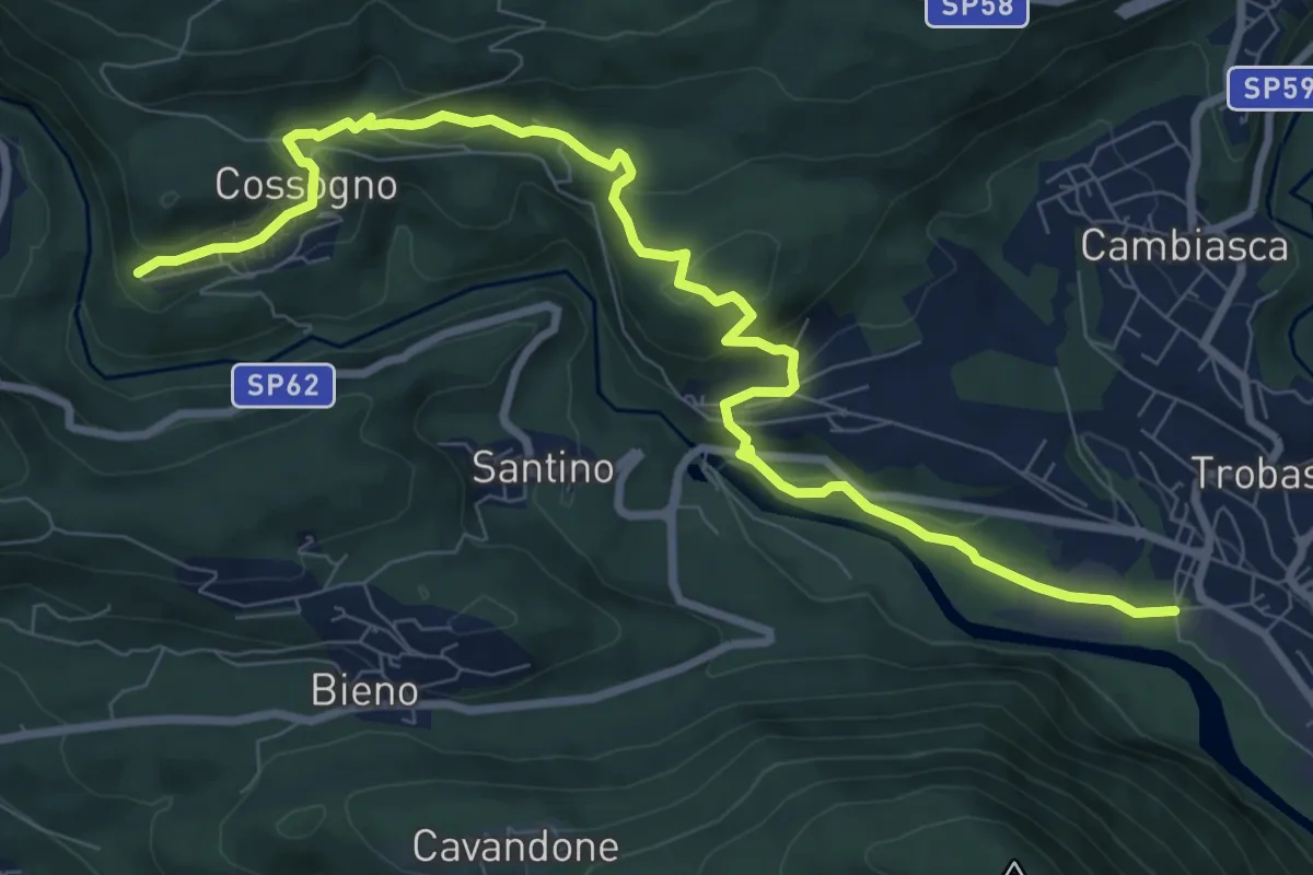
R01 Verbania Trobaso - Unchio - Motto di Unchio - Pian di Les - Cossogno
10.4 km · ↑ 370 m · 3 h 16 min · 12 km away
Easy · Trail
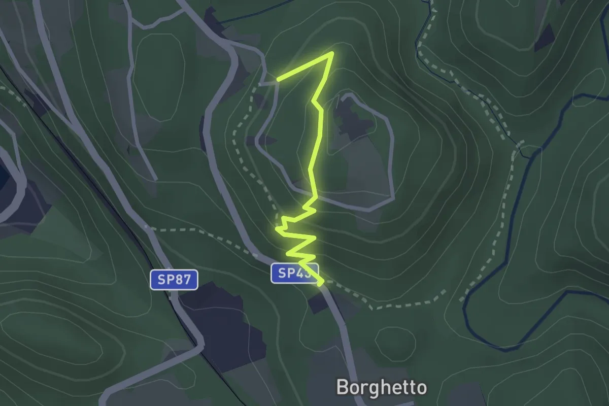
VU2a - Borghetto - Convento di Mesma
2.2 km · ↑ 183 m · 55 min · 12 km away
Demanding · Summit
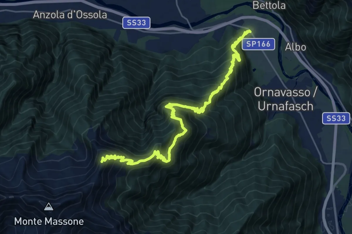
A21 - Punta di Migiandone - Cima Tre Croci
23.9 km · ↑ 1959 m · 9 h 53 min · 12 km away
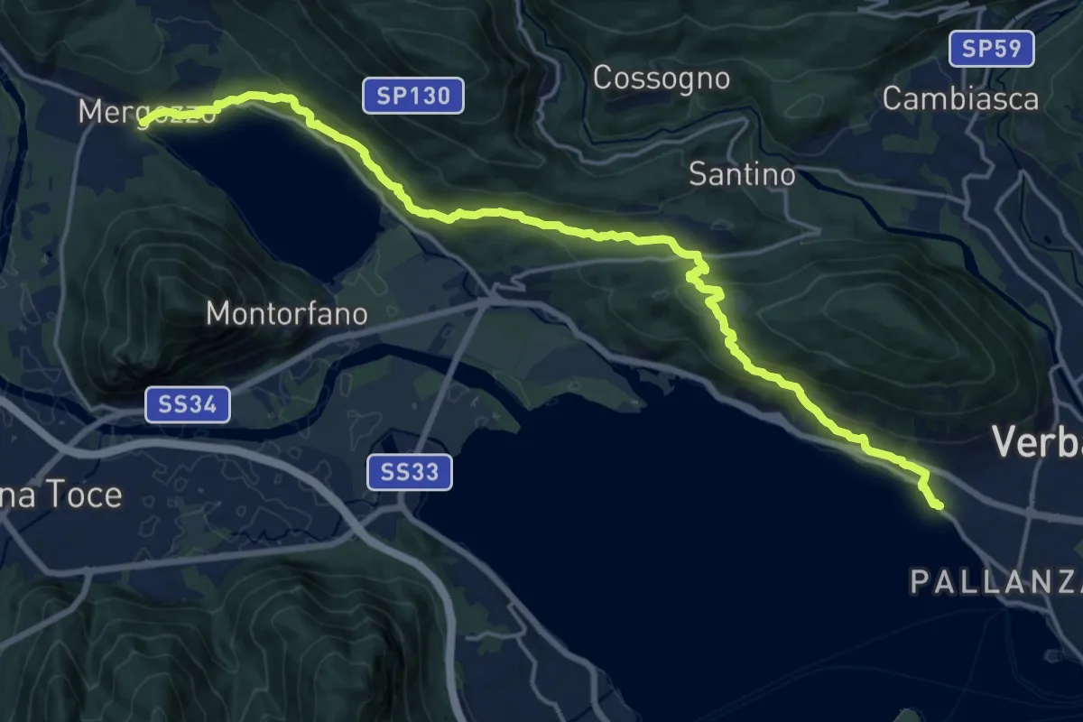
Demanding · Trail
A00 - Strada Romana (terza sezione)
20.0 km · ↑ 761 m · 6 h 23 min · 12 km away
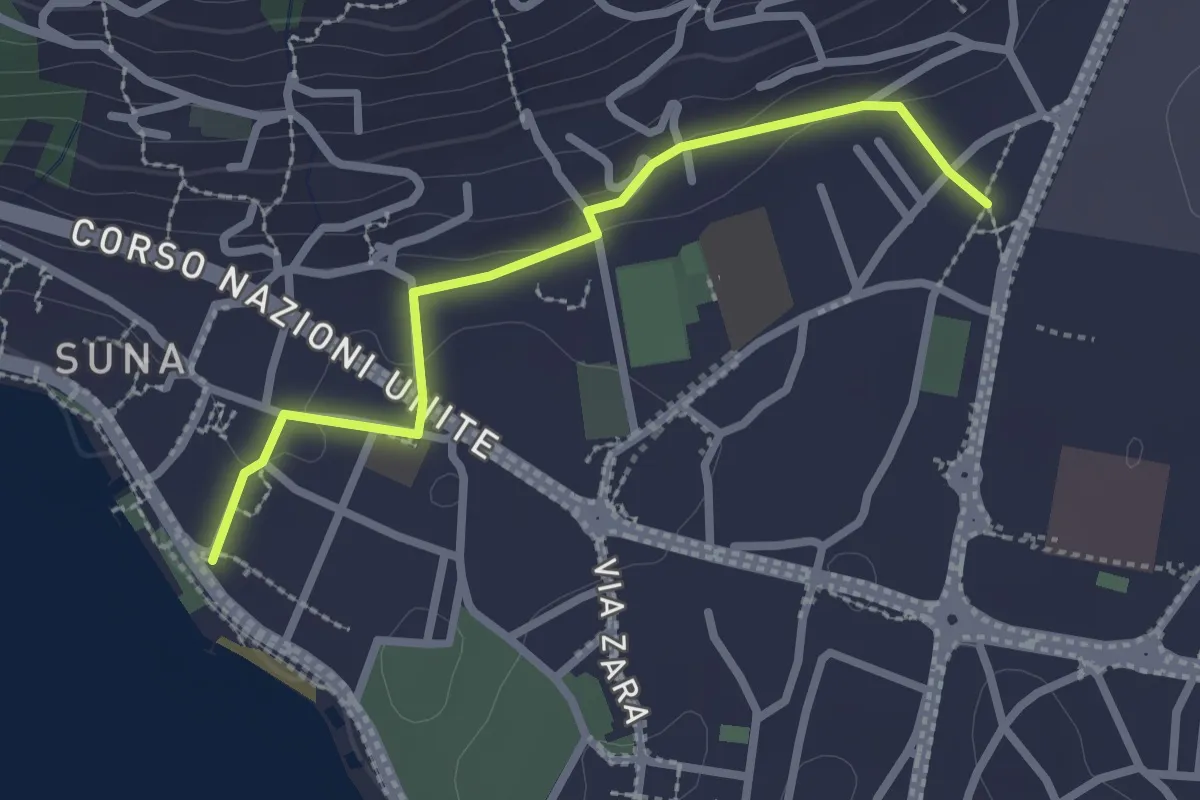
Easy · Trail
P00r - Raccordo pedemontano tra A00 e P00
2.5 km · ↑ 51 m · 42 min · 12 km away
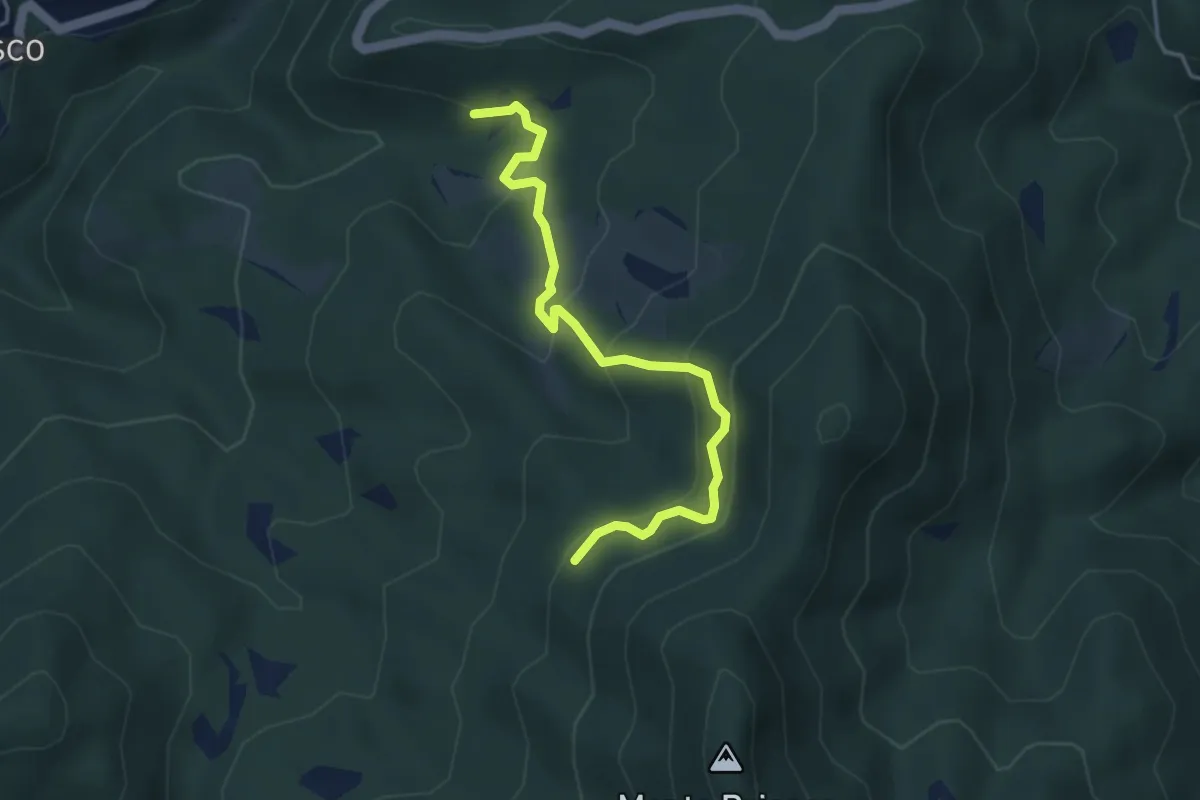
Medium · Trail
Civiasco, presso Torrente Pascone, bivio VCA634-VCA635 – Presso Alpe del Vella, bivio VCA634-VCA635
4.1 km · ↑ 309 m · 1 h 38 min · 12 km away
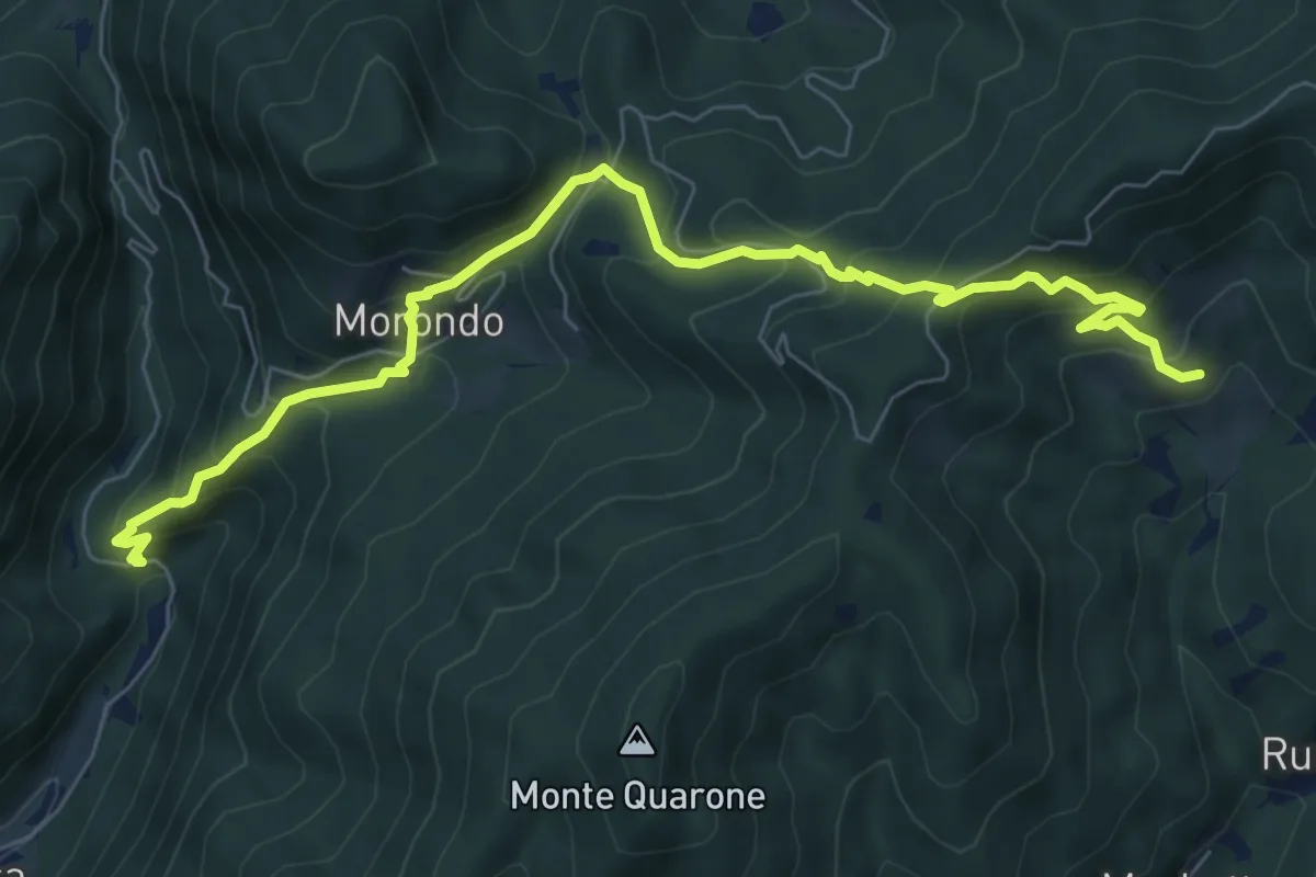
Medium · Trail
Morondo, per Colma Barella – Colma
8.6 km · ↑ 733 m · 3 h 38 min · 12 km away
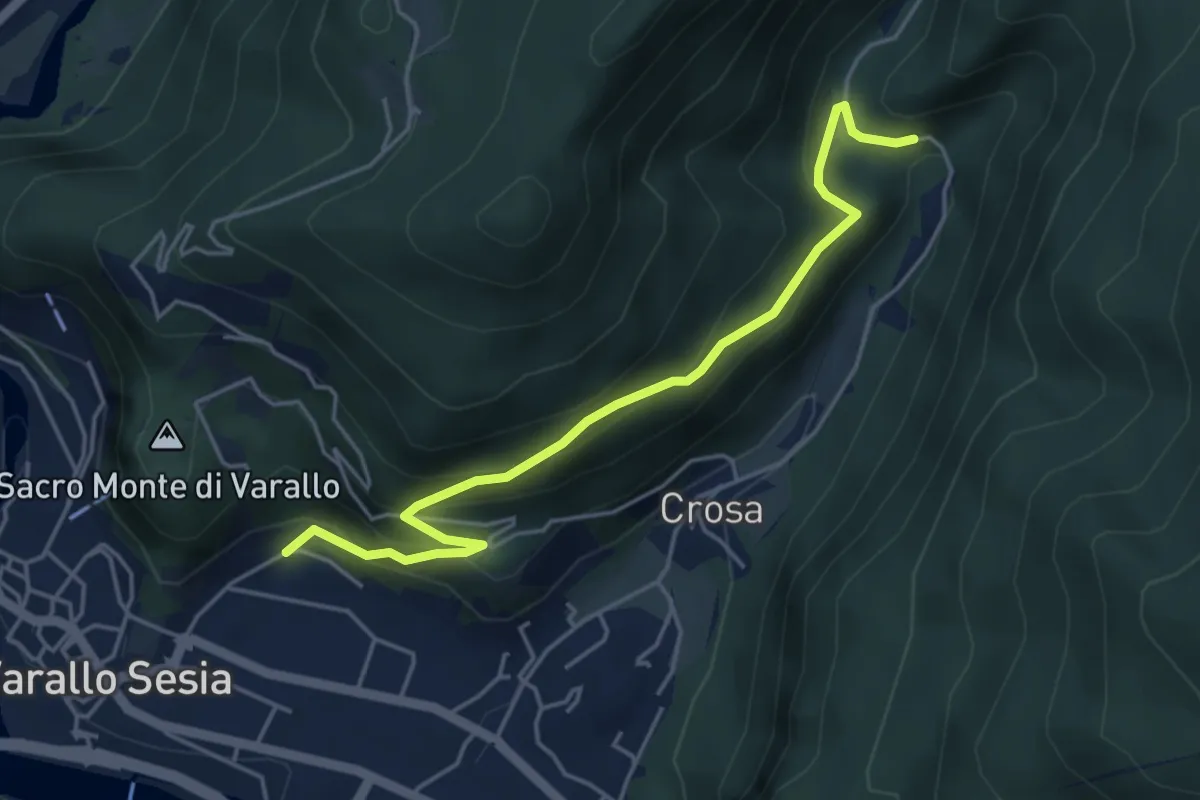
Medium · Trail
Varalletto – Varallo, Alpe Oro, bivio VCA636-VCA632-VCA618
4.8 km · ↑ 356 m · 1 h 55 min · 12 km away
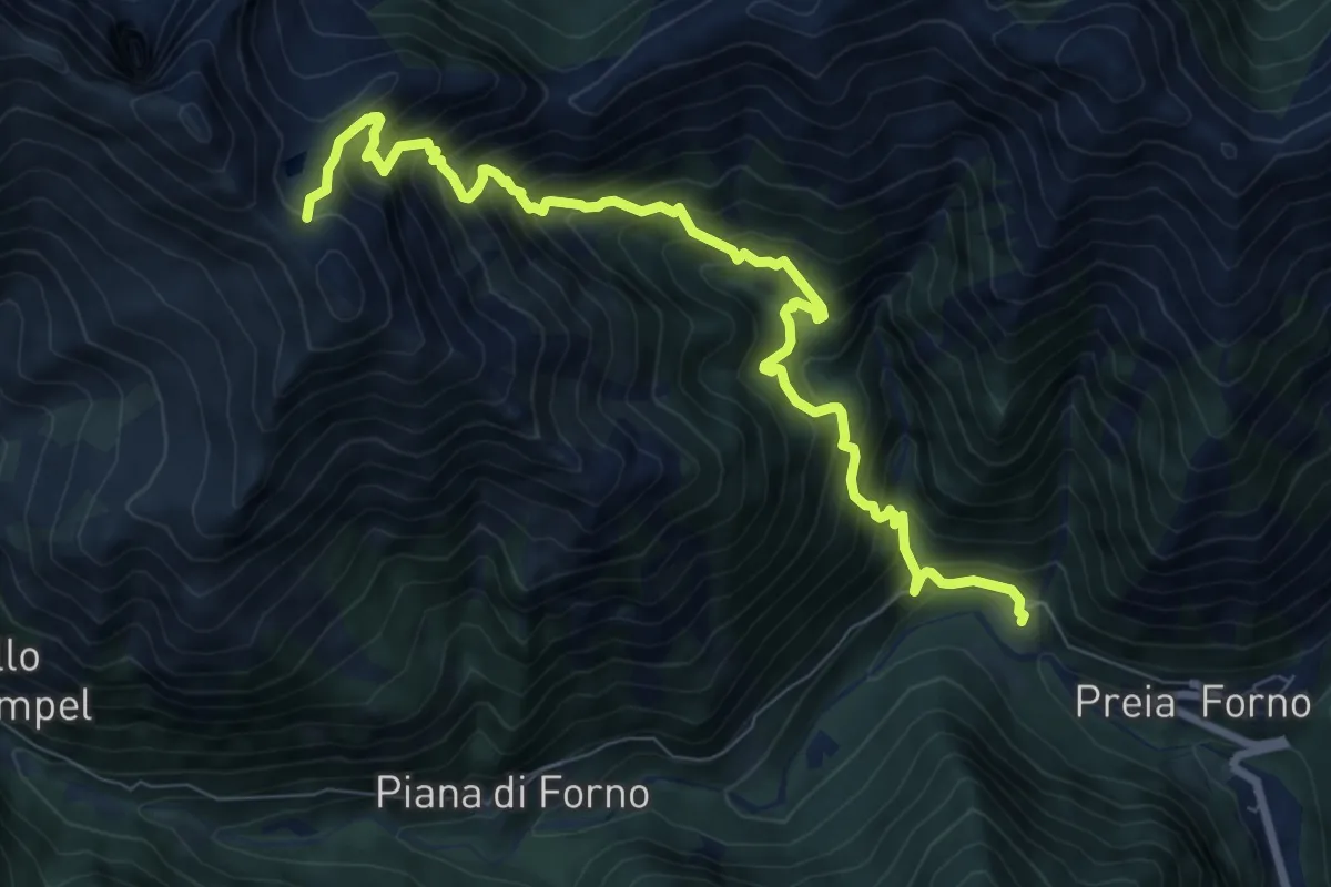
Demanding · Trail
Z12 - Forno - Colle dell'Usciolo
9.2 km · ↑ 1251 m · 4 h 54 min · 12 km away
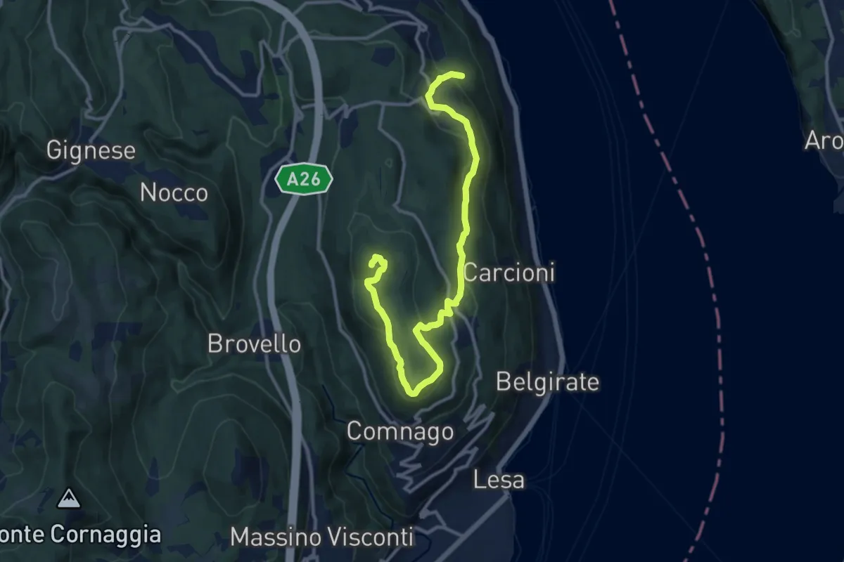
Medium · Summit
VL3 - Sant'Albino - Motta Rossa
13.0 km · ↑ 413 m · 3 h 57 min · 12 km away
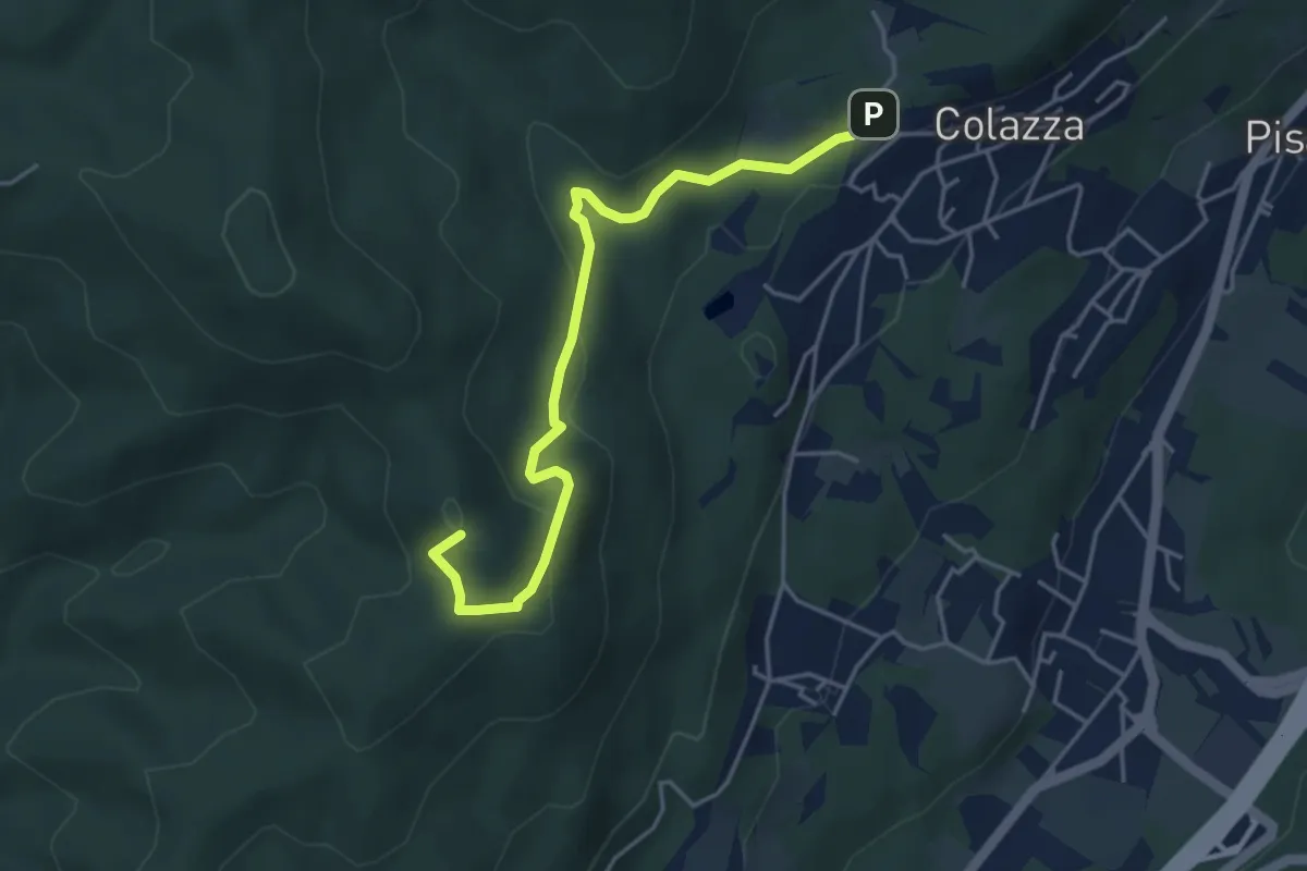
Easy · Summit
VE2 - Colazza - Cappella del Vago
4.5 km · ↑ 190 m · 1 h 28 min · 12 km away
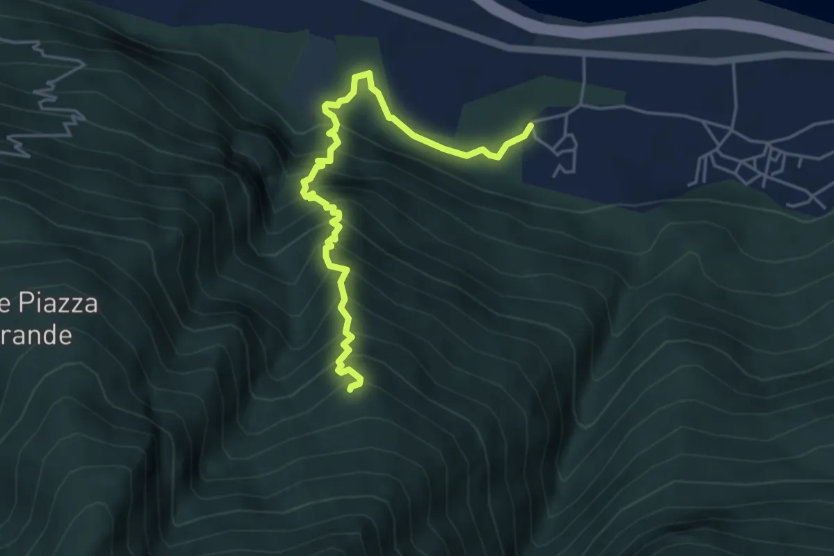
Medium · Trail
A31 - Migiandone loc. Vadi - Alpe Grefa
4.8 km · ↑ 640 m · 2 h 31 min · 12 km away
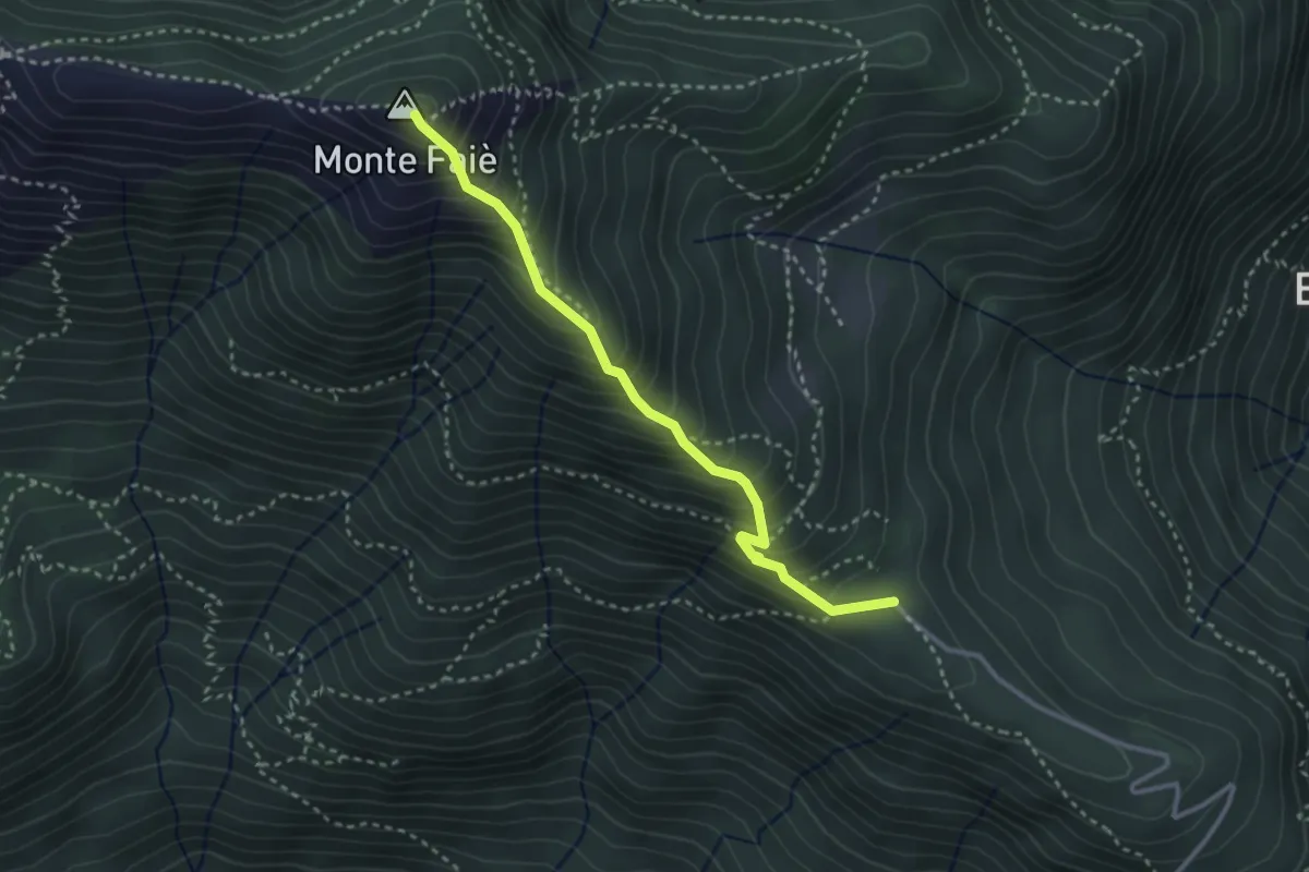
Medium · Summit
A54a - Alpe Ruspesso - Monte Faiè
3.0 km · ↑ 392 m · 1 h 34 min · 12 km away
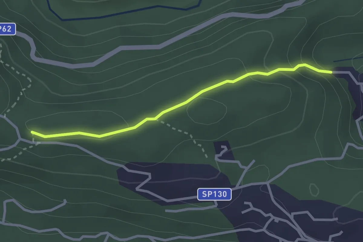
Easy · Trail
Via Crucis di Santino
2.5 km · ↑ 106 m · 49 min · 12 km away
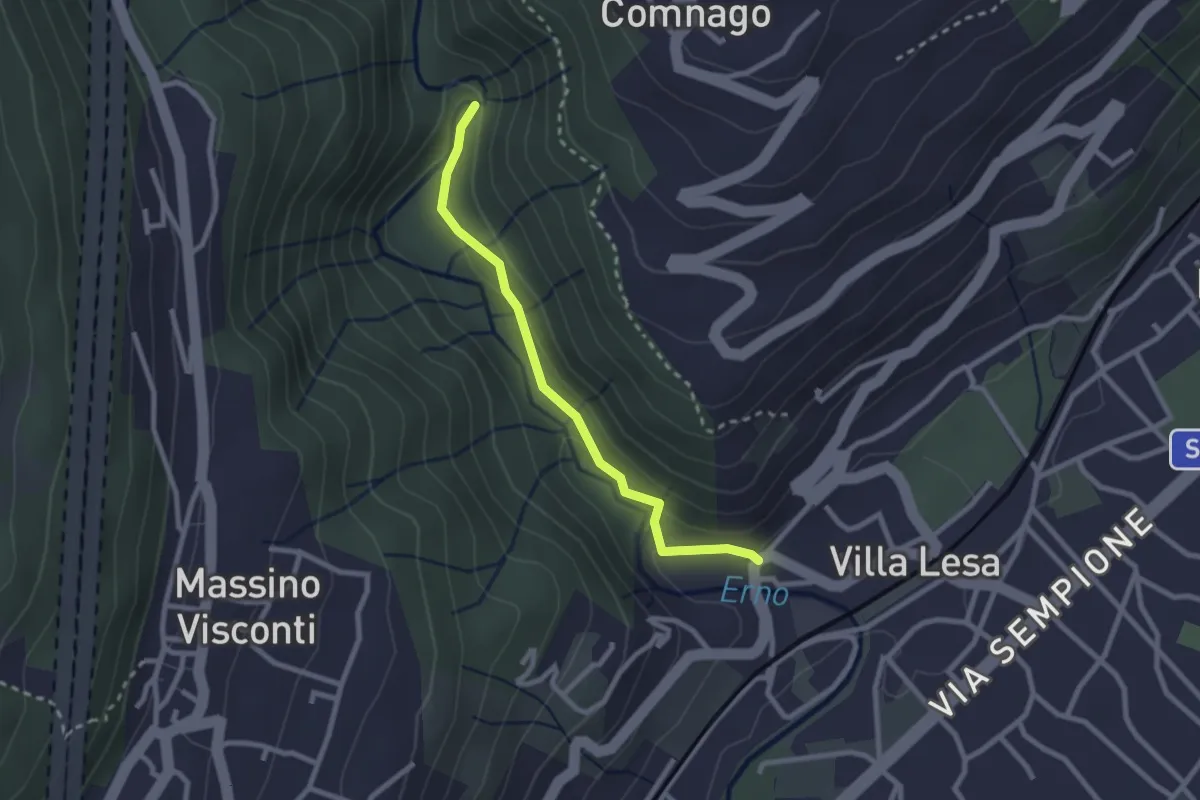
Easy · Trail
Sentiero Valle dell'Erno
2.4 km · ↑ 86 m · 45 min · 12 km away
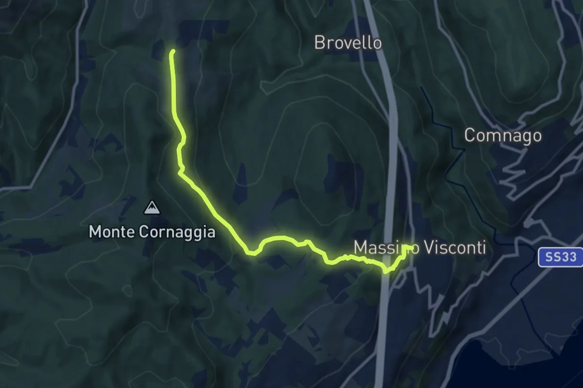
Medium · Trail
VH2 - Massino Visconti - Alpe Canà
8.8 km · ↑ 369 m · 2 h 53 min · 12 km away
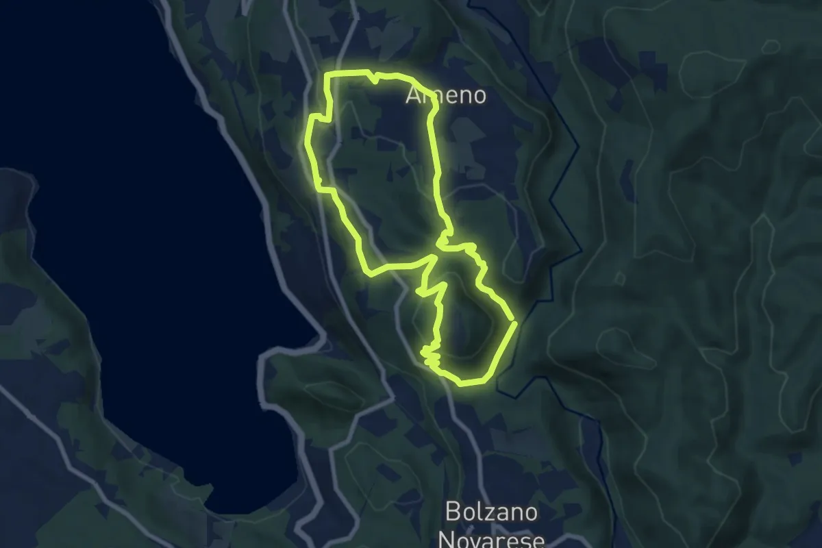
Easy · Trail
Anello Celeste
7.1 km · ↑ 230 m · 2 h 17 min · 12 km away
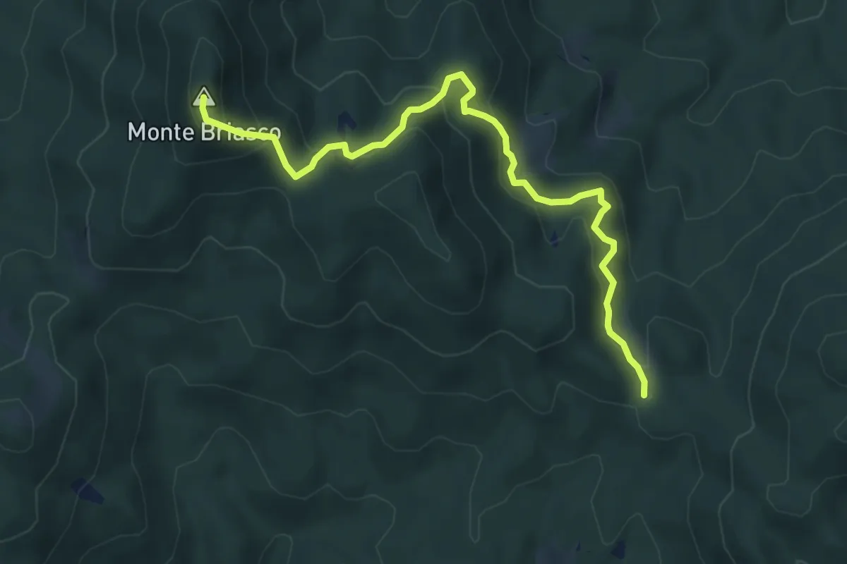
Medium · Summit
T36e - Passo di Cambocciolo - Monte Briasco
6.0 km · ↑ 323 m · 2 h 7 min · 12 km away
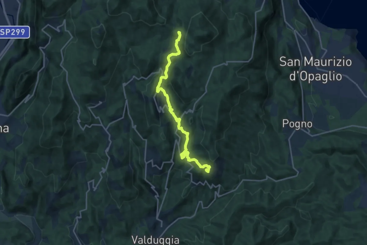
Medium · Trail
Valduggia, frazione Rastiglione, bivio VCA758-VCA759 – Sella del Gallo, bivio VCA747-VCA758
13.6 km · ↑ 627 m · 4 h 34 min · 12 km away
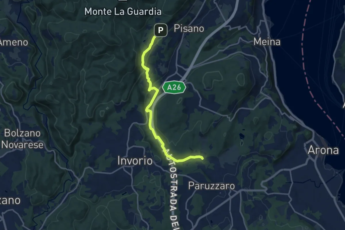
Medium · Trail
VA2 - Paruzzaro - Colazza
12.0 km · ↑ 334 m · 3 h 34 min · 12 km away
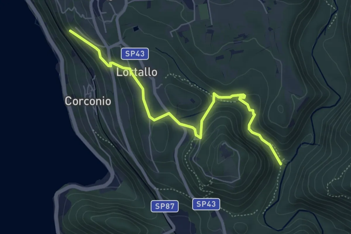
Easy · Trail
VU2 - Corconio - Località La Fucina
5.6 km · ↑ 189 m · 1 h 44 min · 12 km away
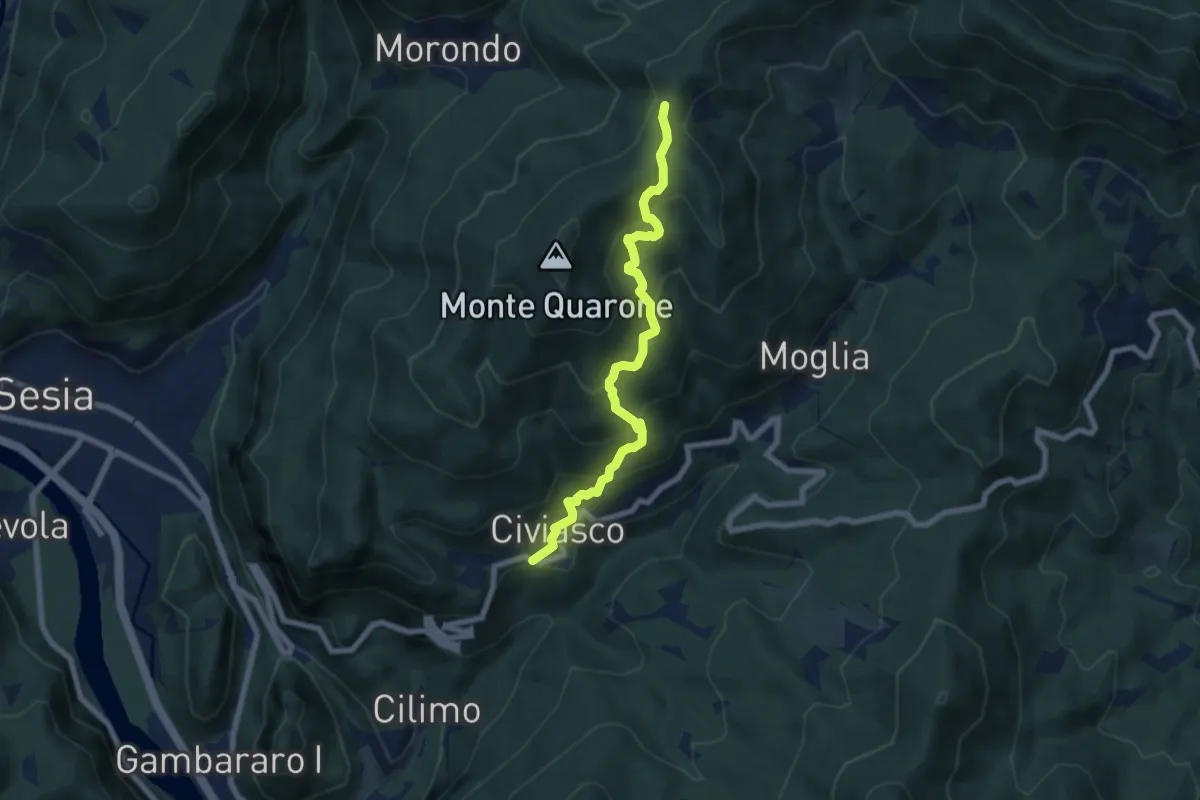
Demanding · Trail
Civiasco – Colma Ballano, bivio VCA638-VCA632
6.9 km · ↑ 586 m · 2 h 54 min · 12 km away
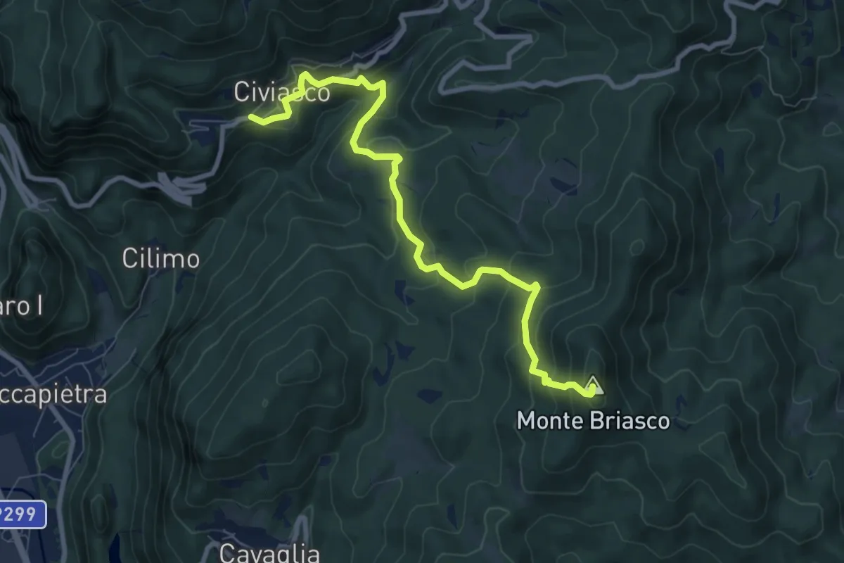
Medium · Summit
Civiasco – Civiasco, Monte Briasco, bivio VCA734-VCA634
8.4 km · ↑ 609 m · 3 h 18 min · 12 km away
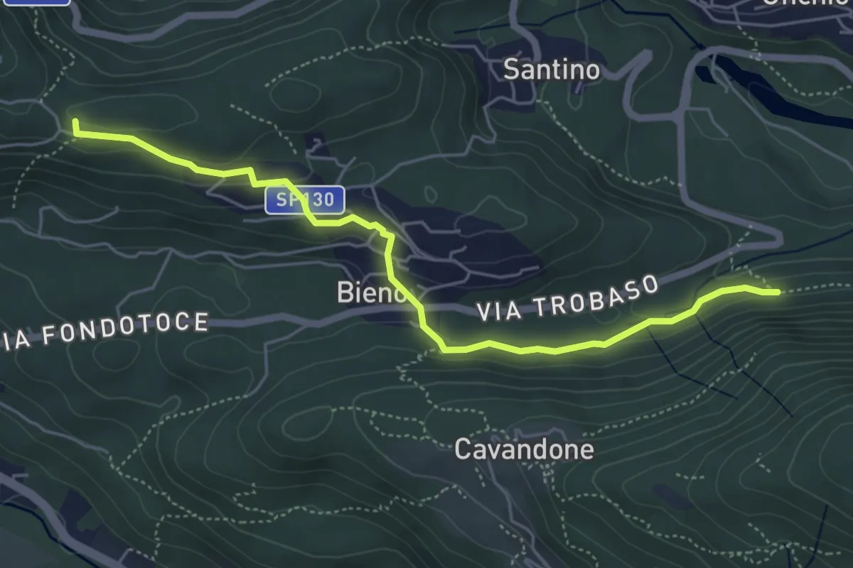
Easy · Trail
P00c - Nord Monterosso - Bieno - Oratorio Santino
5.3 km · ↑ 155 m · 1 h 35 min · 12 km away
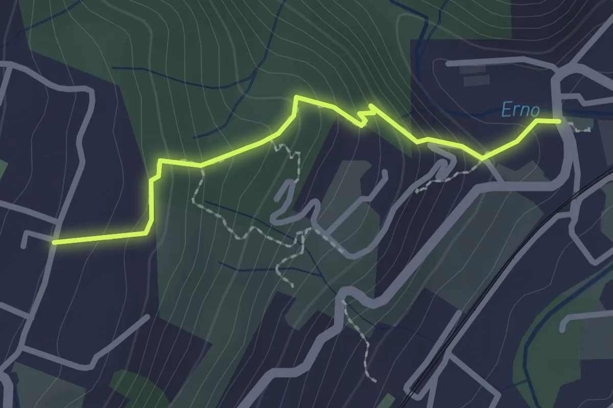
Easy · Trail
Sentiero Lesa Massino
2.1 km · ↑ 194 m · 55 min · 12 km away
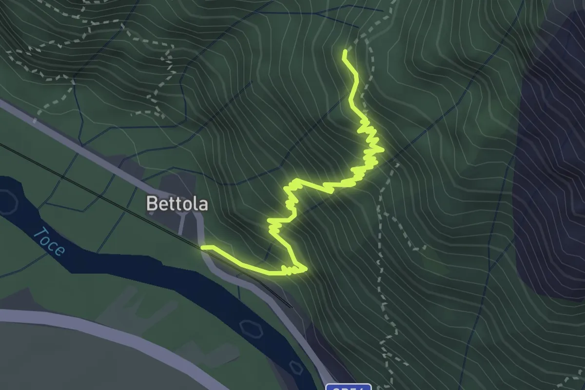
Demanding · Trail
A48 - Bettola - Strada Cadorna - Alpe Corte
4.0 km · ↑ 588 m · 2 h 13 min · 12 km away
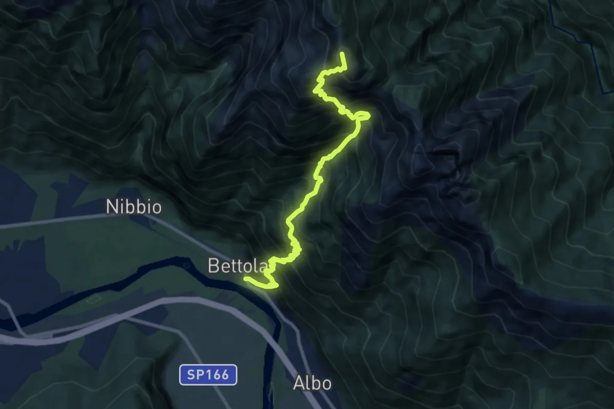
Demanding · Summit
XA48 - Bettola - Strada Cadorna - Alpe Corte - Bta di Saltir
9.2 km · ↑ 1685 m · 5 h 49 min · 12 km away
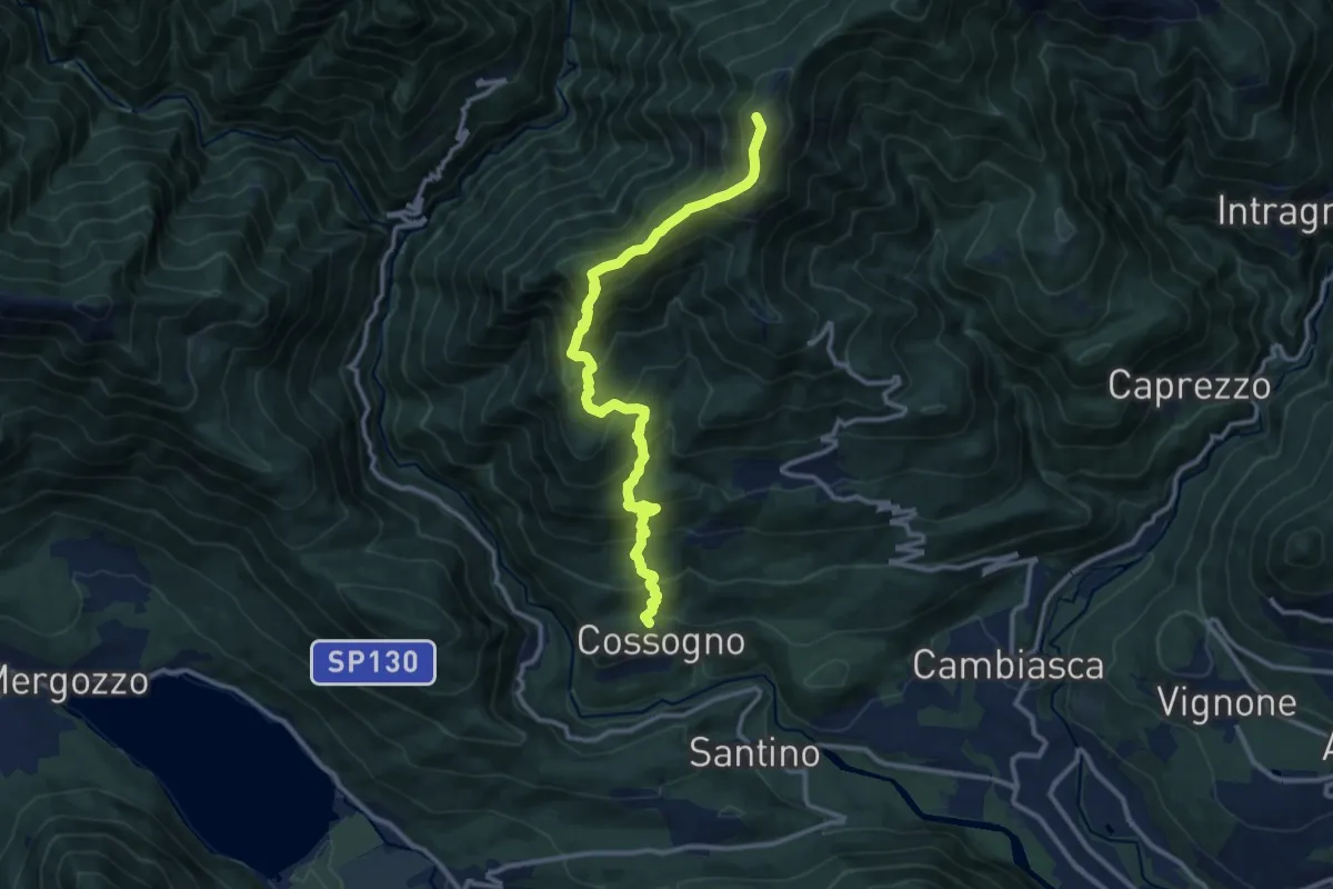
Demanding · Summit
P02 - Cossogno - Pizzo Pernice
12.3 km · ↑ 1162 m · 5 h 25 min · 12 km away
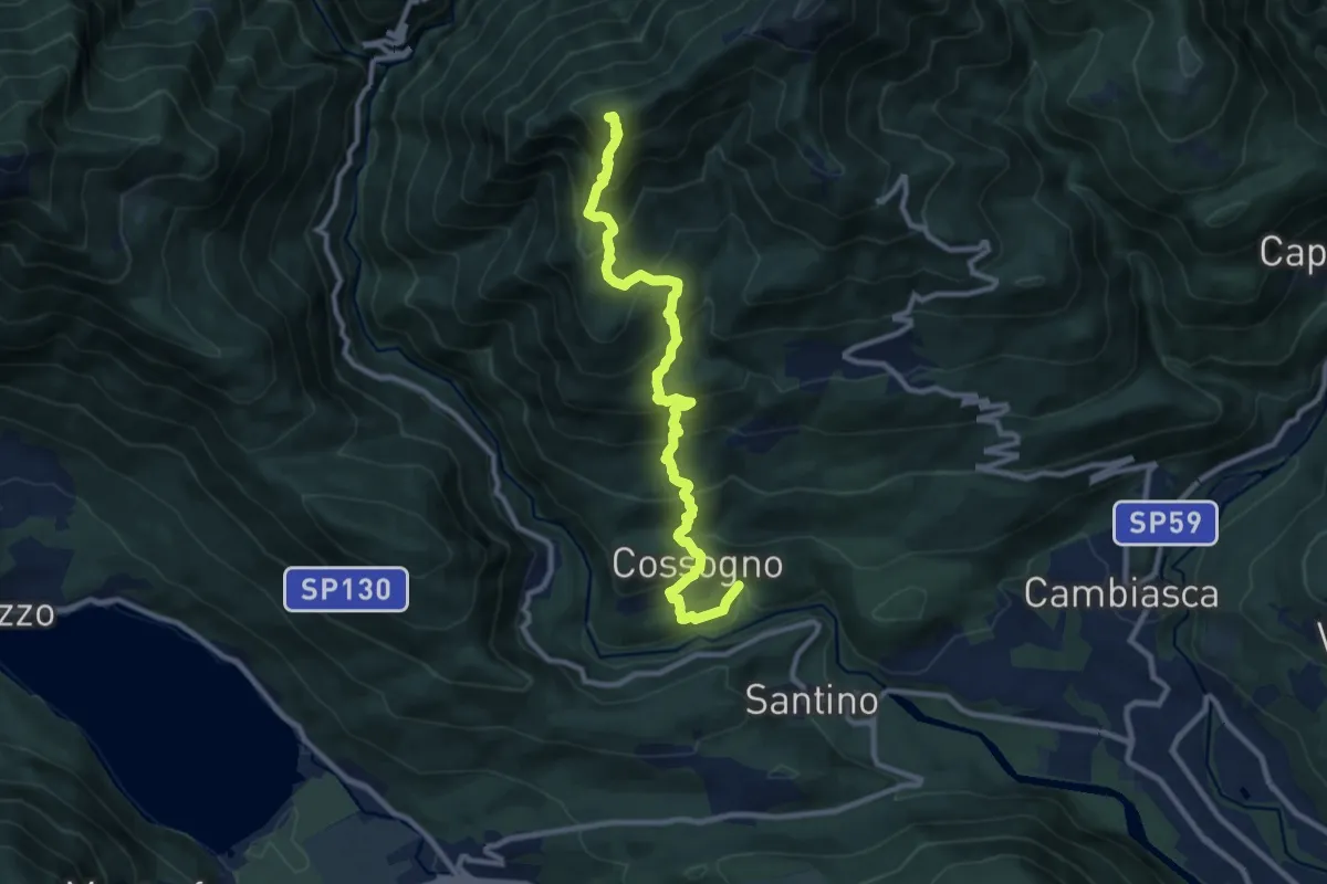
Demanding · Summit
km verticale Cossogno
10.7 km · ↑ 987 m · 4 h 40 min · 12 km away
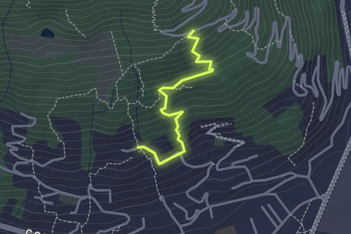
Medium · Trail
XP1B - Raccordo tra P01 e P01b visitando Villa Giuseppina
2.1 km · ↑ 201 m · 55 min · 12 km away
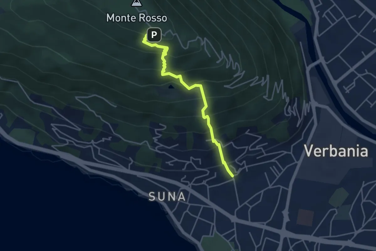
Medium · Trail
P01b - Suna - Chiesetta Pellegrino
3.8 km · ↑ 451 m · 1 h 53 min · 12 km away
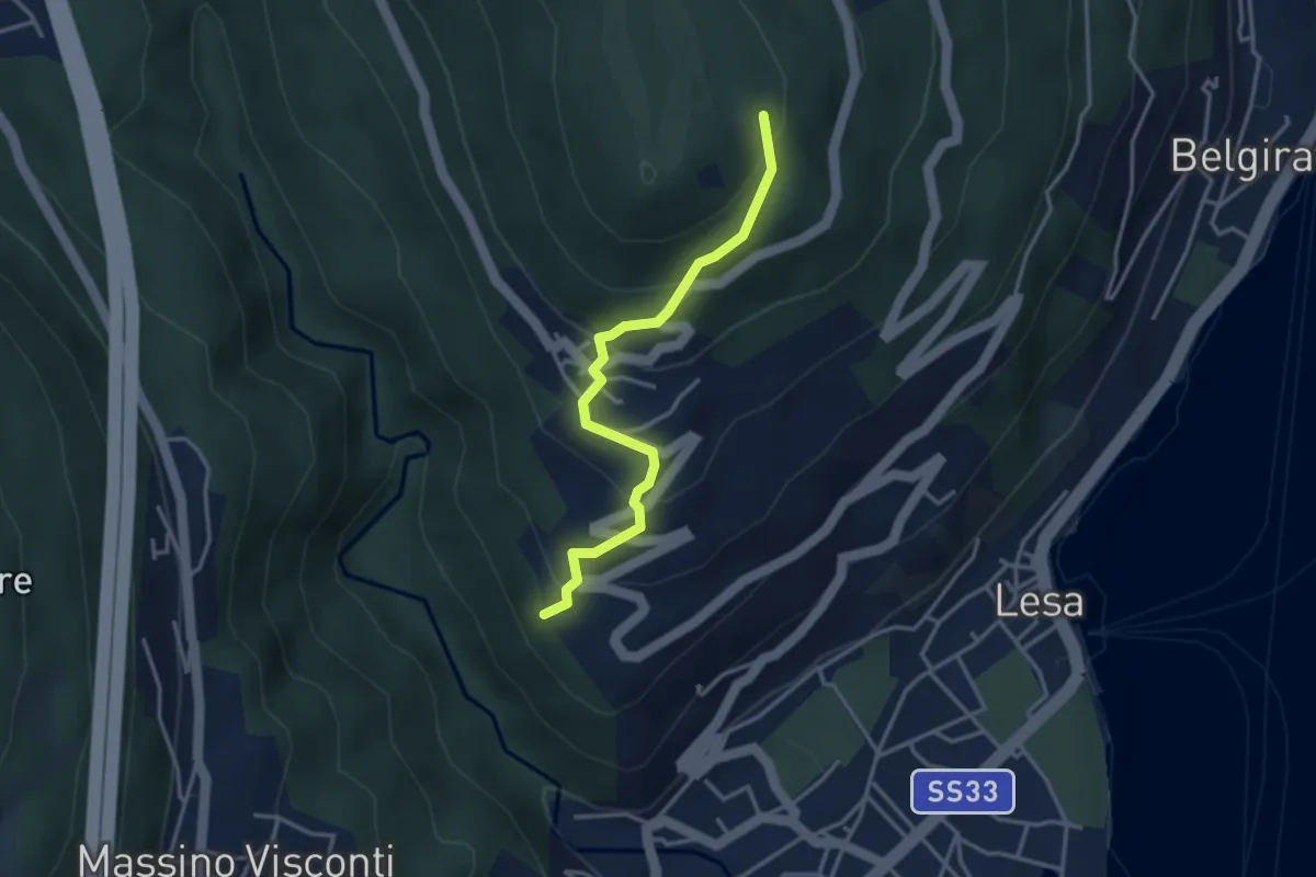
Easy · Trail
VL4 - Comnago - Calogna
3.4 km · ↑ 238 m · 1 h 19 min · 12 km away
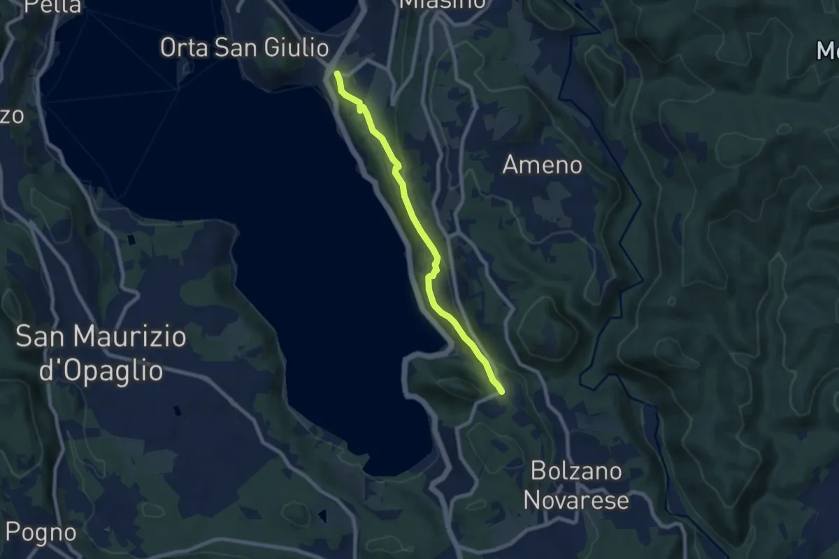
Easy · Trail
Orta San Giulio località Ortello, bivio NOATU1-NOATU2 – Orta San Giulio località Corconio bivio NOAVU2-NOATU2-NOATU2A
7.0 km · ↑ 181 m · 2 h 3 min · 12 km away
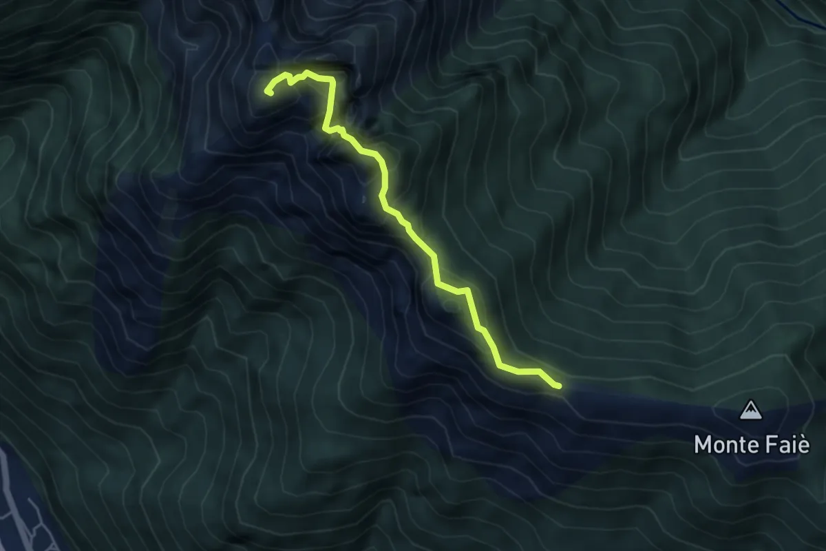
Demanding · Summit
A52c - Colma di Vercio - Cima Corte Lorenzo
4.3 km · ↑ 514 m · 2 h 7 min · 12 km away
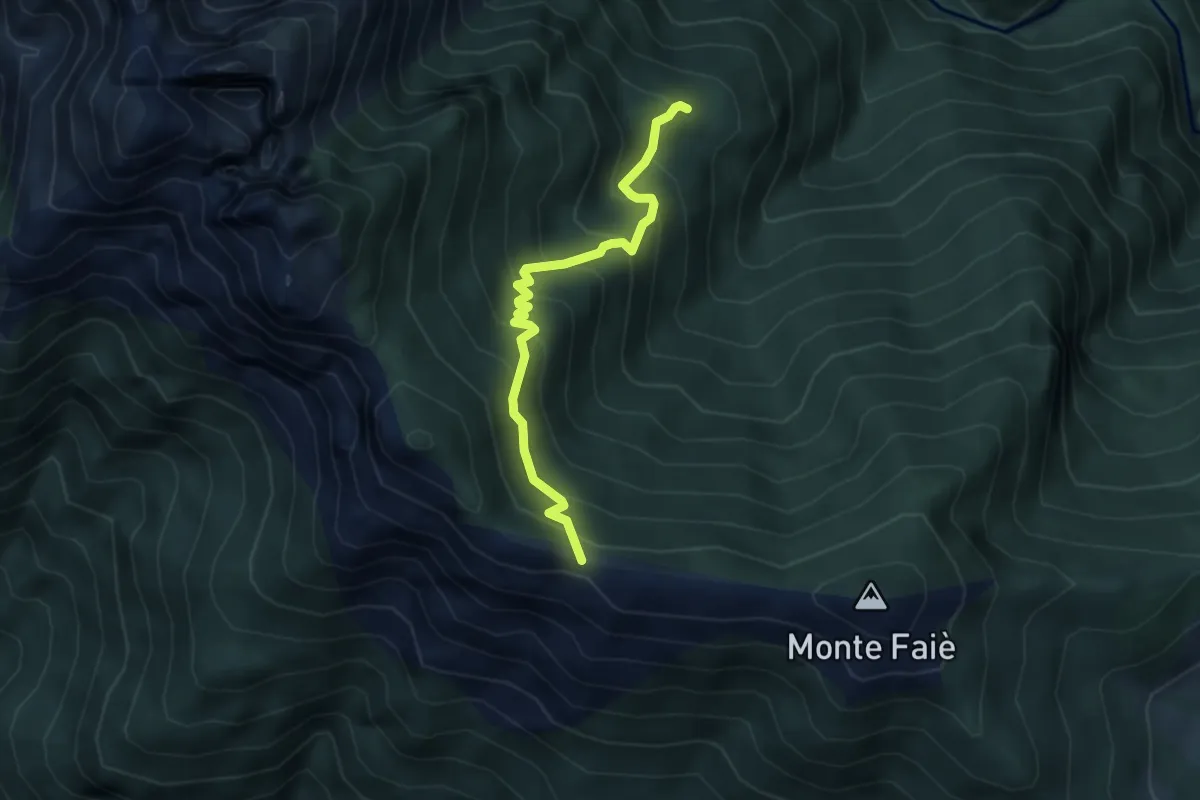
Medium · Cabin
Da Corte buè alla Colma di Vercio
3.9 km · ↑ 402 m · 1 h 47 min · 12 km away
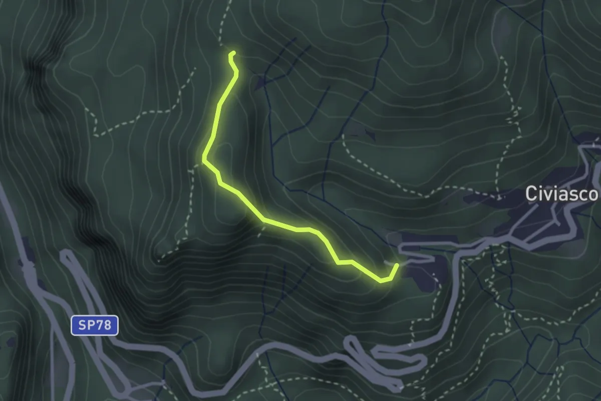
Easy · Trail
Civiasco, Pian della Valle – Bivio VCA636-VCA636B
2.4 km · ↑ 166 m · 55 min · 12 km away
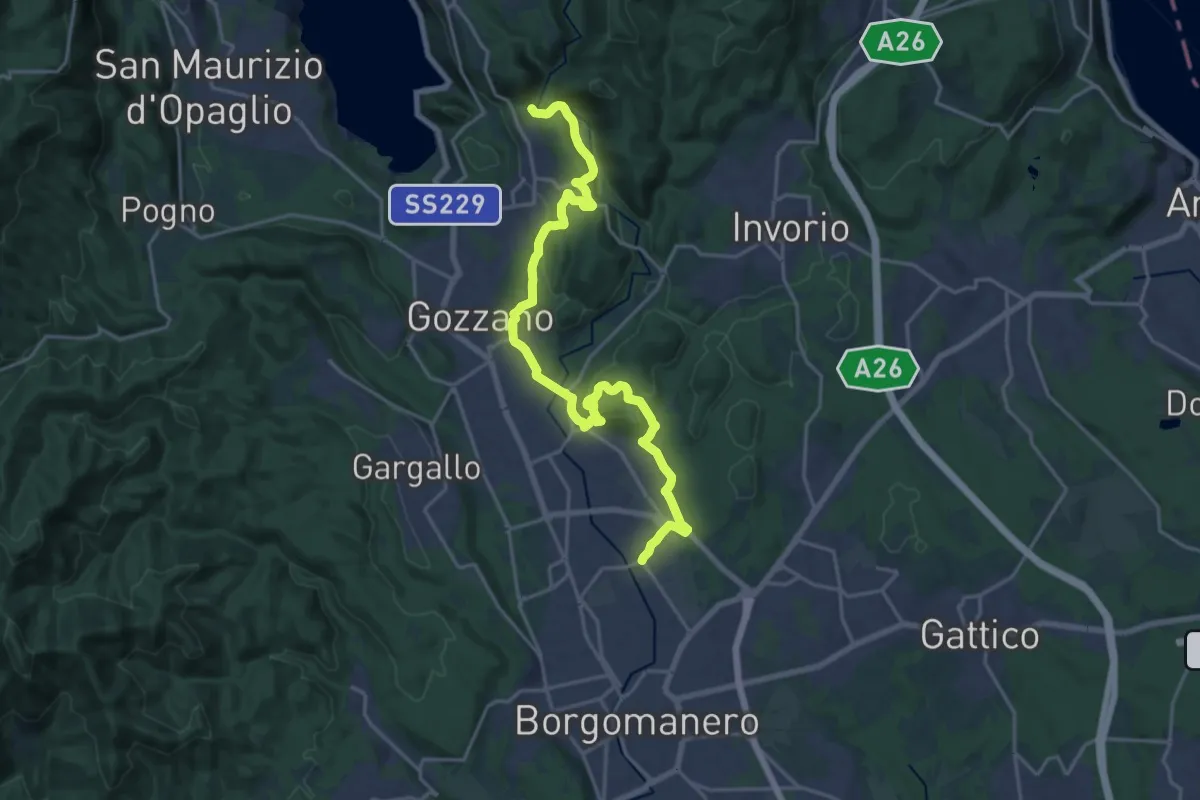
Demanding · Trail
Borgomanero, località San Marco – Bolzano Novarese, presso Torrente Agogna, bivio NOAS13-NOAVU3
22.3 km · ↑ 500 m · 6 h 21 min · 12 km away
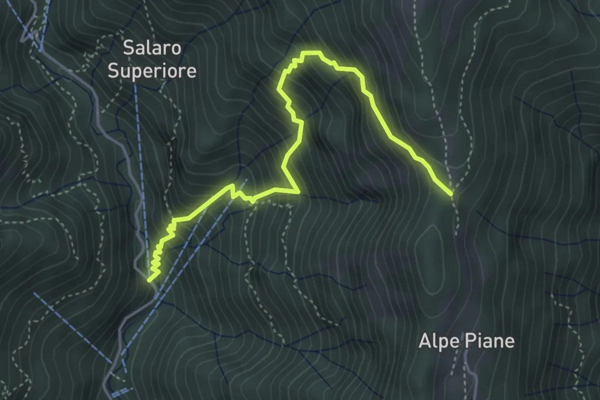
Medium · Trail
Sabbia, località Crosi, presso Ponte Baulei – Sabbia, località Vaneccio, bivio VCA620-VCA621
4.5 km · ↑ 595 m · 2 h 21 min · 13 km away
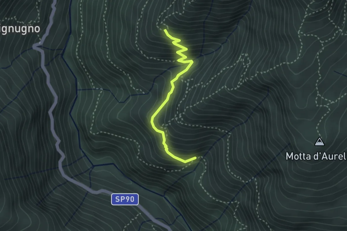
Medium · Trail
P00d - Alpe Miunchio - Nolezzo
3.0 km · ↑ 265 m · 1 h 16 min · 13 km away
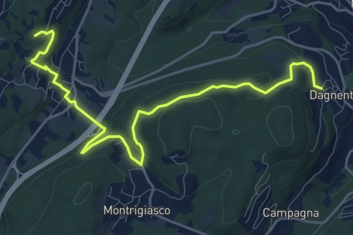
Medium · Trail
VA6 - Dagnente - Colazza
10.7 km · ↑ 321 m · 3 h 13 min · 13 km away
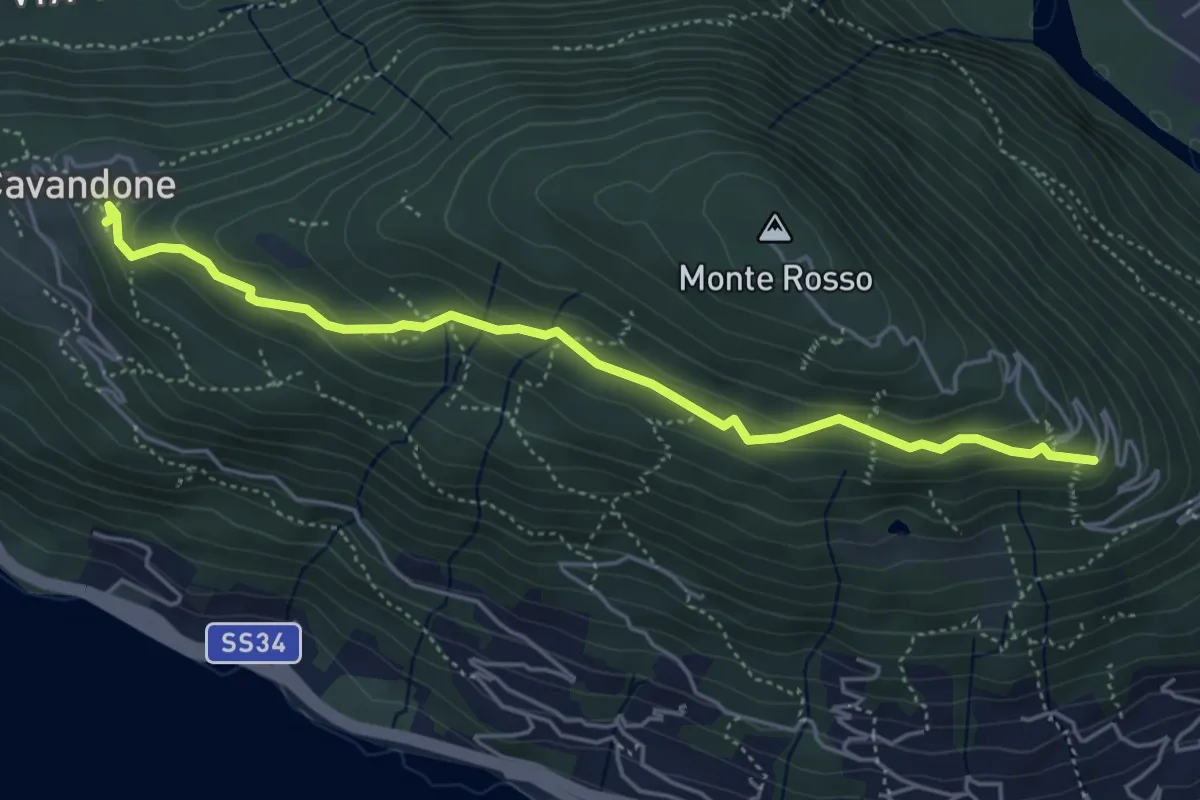
Easy · Trail
P01d - Cavandone - bivio Via al Monterosso
5.0 km · ↑ 212 m · 1 h 39 min · 13 km away
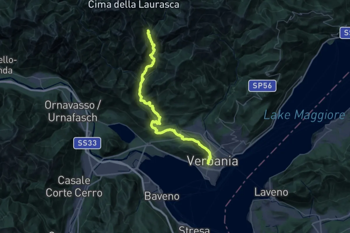
Demanding · Trail
P00 - Madonna di Campagna - Santino - Rovegro- Cossogno- Cicogna - Pogallo
19.8 km · ↑ 1822 m · 8 h 37 min · 13 km away
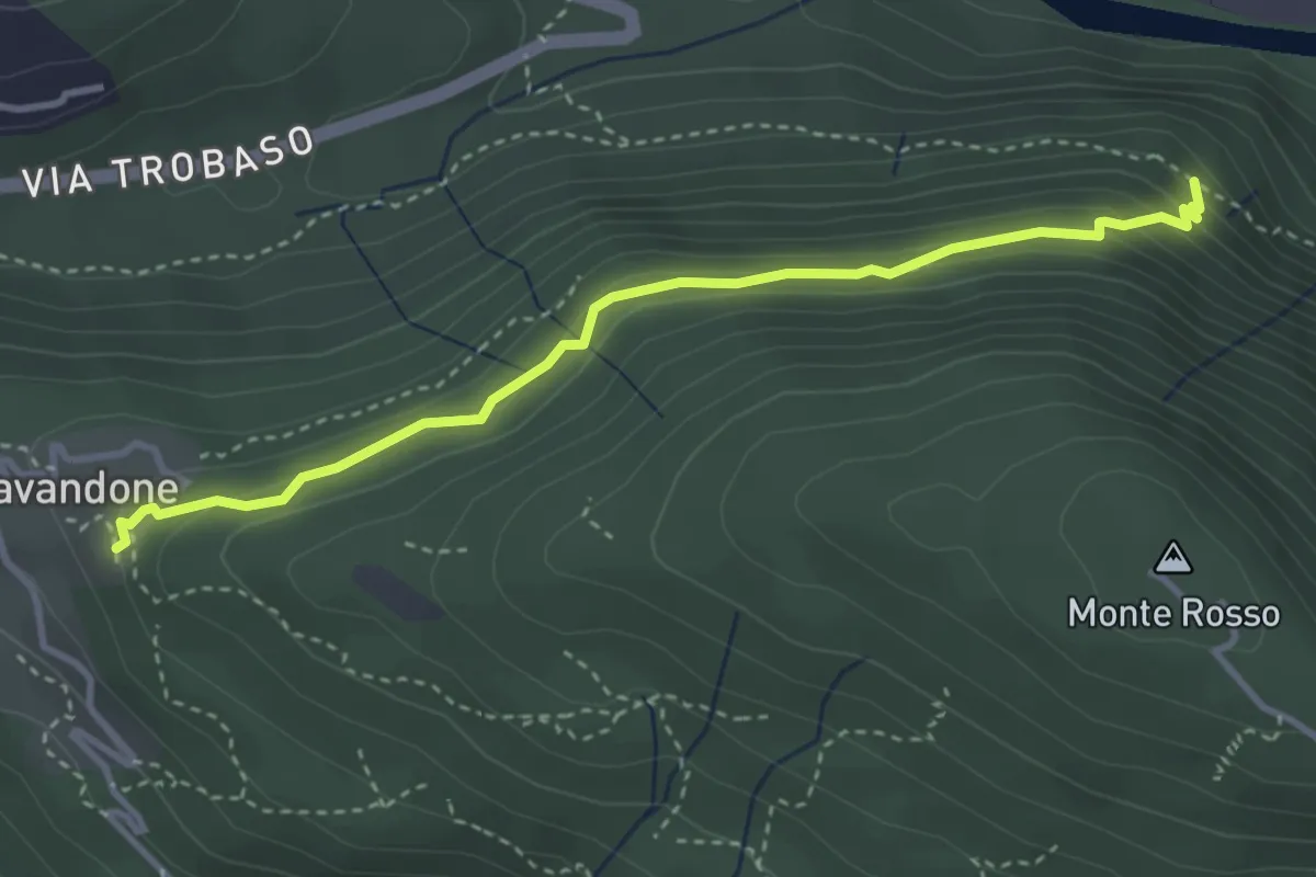
Medium · Trail
P01e - Cavandone - Cascina Monterosso
3.6 km · ↑ 229 m · 1 h 21 min · 13 km away
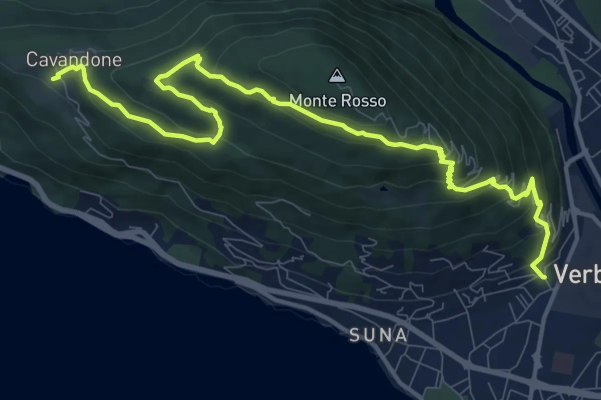
Medium · Trail
P01 - Madonna di campagna - Monterosso - Cavandone
11.1 km · ↑ 704 m · 4 h 9 min · 13 km away
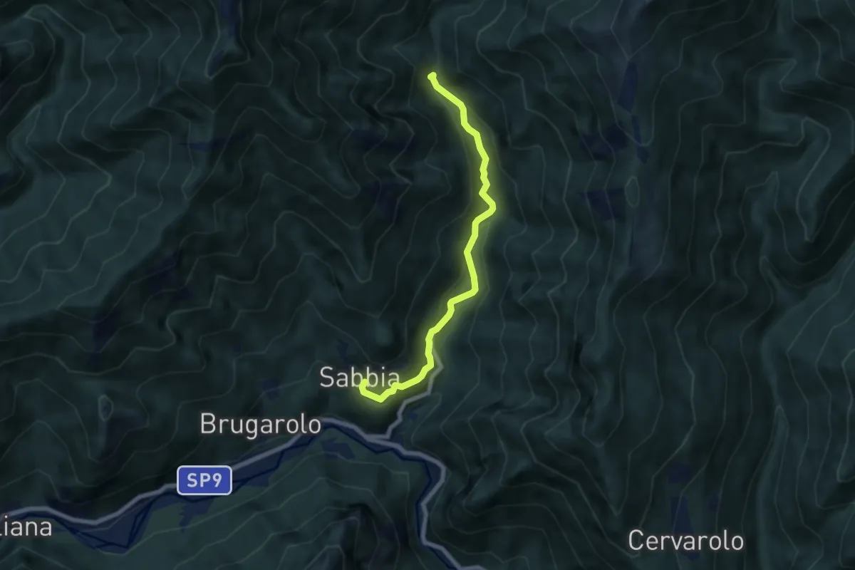
Medium · Trail
Sabbia – Ponte sul Torrente Sabbiola, pressi Salaro
6.2 km · ↑ 331 m · 2 h 10 min · 13 km away
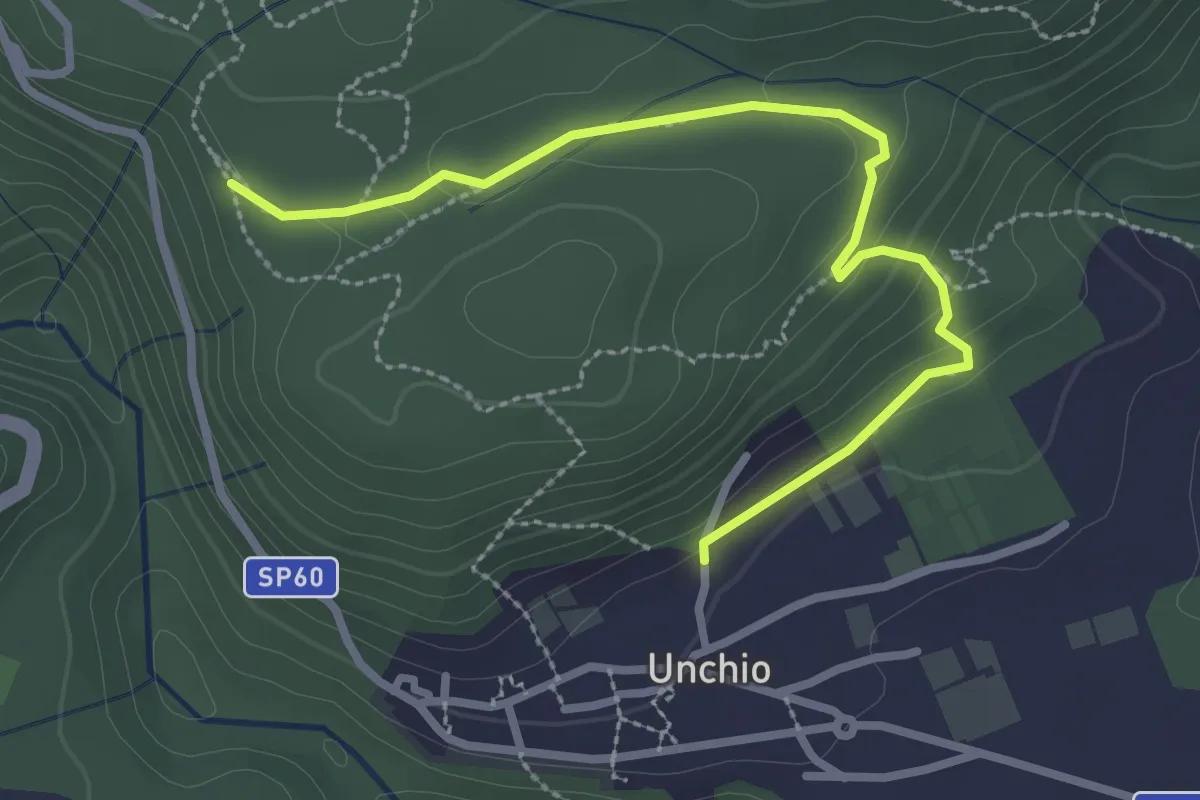
Easy · Trail
R01b Bivio R01 sotto Motto di Unchio - Bivio R01 a Pian di Les (Giro del Motto di Unchio)
3.1 km · ↑ 112 m · 58 min · 13 km away
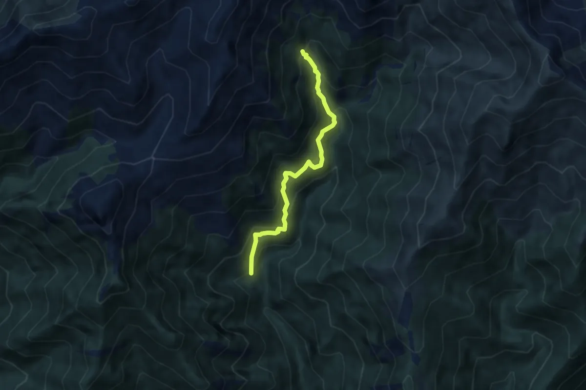
Medium · Trail
Sabbia, frazione Montata, bivio VCA561-VCA565 – Alpe Palazzo
5.9 km · ↑ 615 m · 2 h 43 min · 13 km away