Trails near Omegna
325 hikes starting within 15 km, nearest first.
Nearest first, page 6 of 7
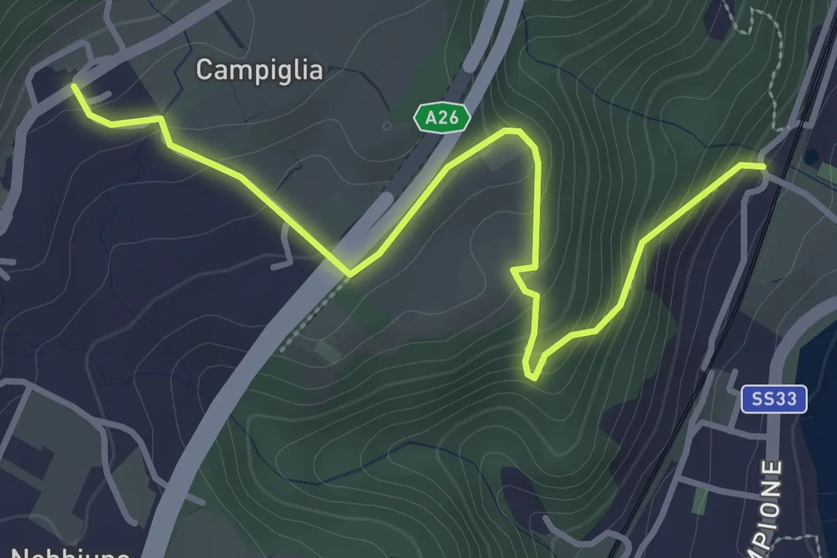
Easy · Trail
Sentiero Lesa - Nebbiuno
3.6 km · ↑ 242 m · 1 h 22 min · 13 km away
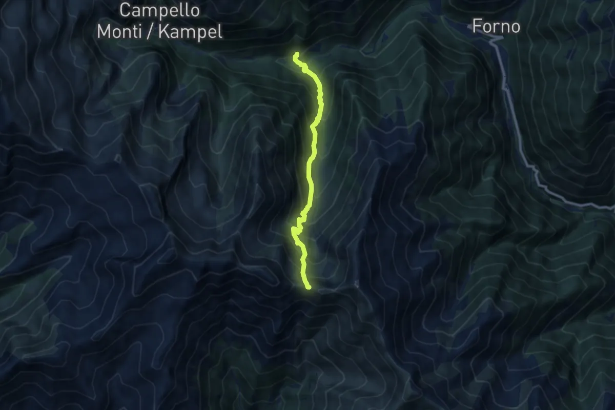
Demanding · Trail
Z13 - Piana di Forno - Bocchetta di Serra
7.2 km · ↑ 852 m · 3 h 33 min · 13 km away
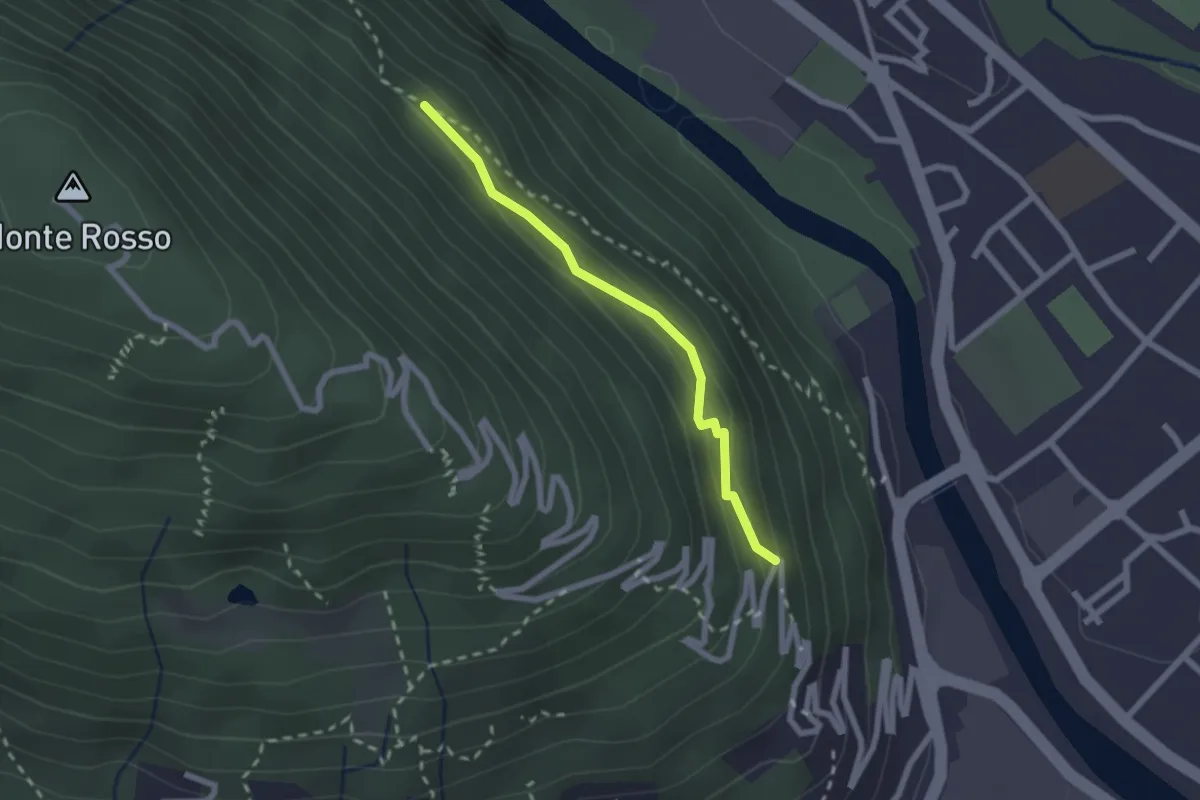
Medium · Trail
P01a - raccordo tra P01 e P00
2.0 km · ↑ 143 m · 47 min · 13 km away
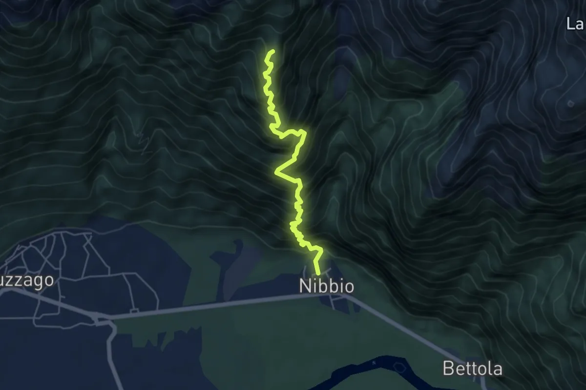
Demanding · Summit
Nibbio – Mot Gianin
4.7 km · ↑ 798 m · 2 h 50 min · 13 km away
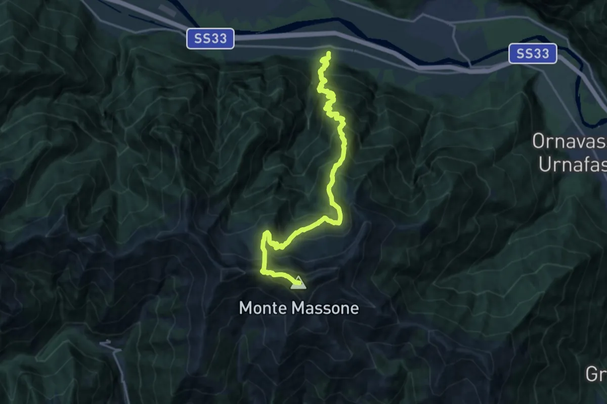
Demanding · Summit
A33 - Anzola - Monte Massone
18.8 km · ↑ 2144 m · 9 h 5 min · 13 km away
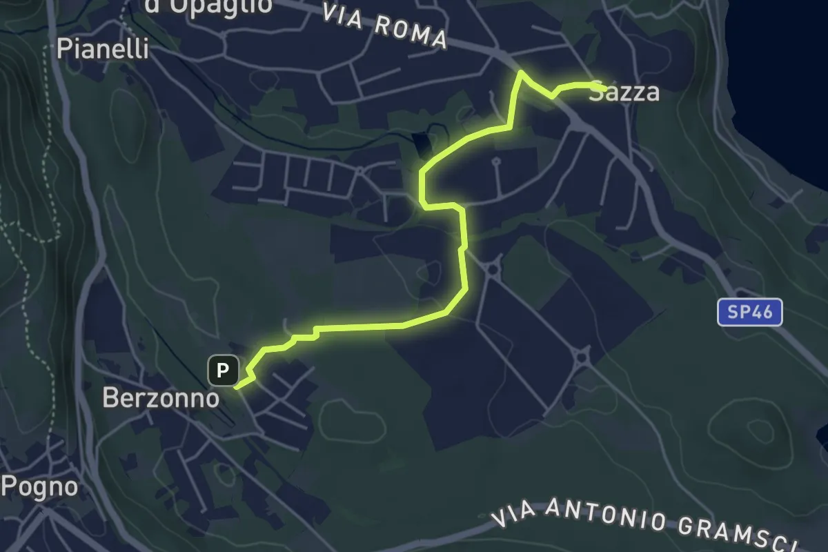
Easy · Trail
T38b - Torlacqua - Madonna delle Grazie
4.5 km · ↑ 48 m · 1 h 10 min · 13 km away
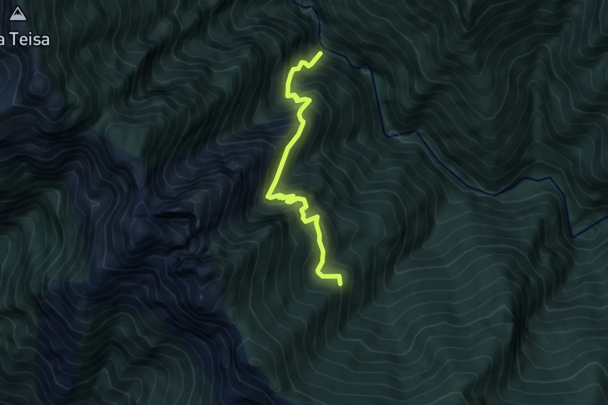
Demanding · Trail
P50b - Orfalecchio - Val Foiera - Corte Buè
5.2 km · ↑ 720 m · 2 h 47 min · 13 km away
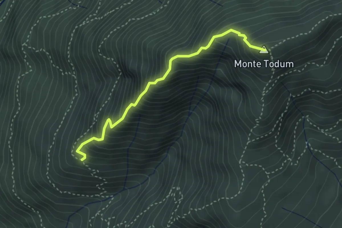
Expert · Summit
XP0B - Filo di Nolezzo
3.2 km · ↑ 543 m · 1 h 56 min · 13 km away
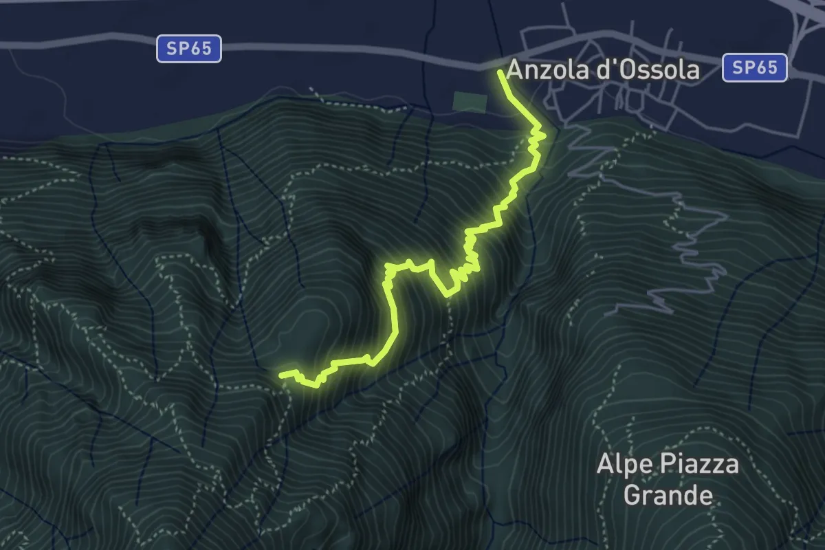
Demanding · Trail
A35 - Anzola - Pian del Baro
4.8 km · ↑ 702 m · 2 h 39 min · 13 km away
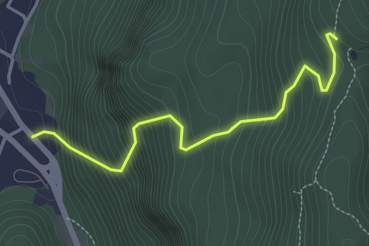
Medium · Trail
Varallo, località Proia – Varallo, bivio VCA636-VCA636A
2.6 km · ↑ 406 m · 1 h 30 min · 13 km away
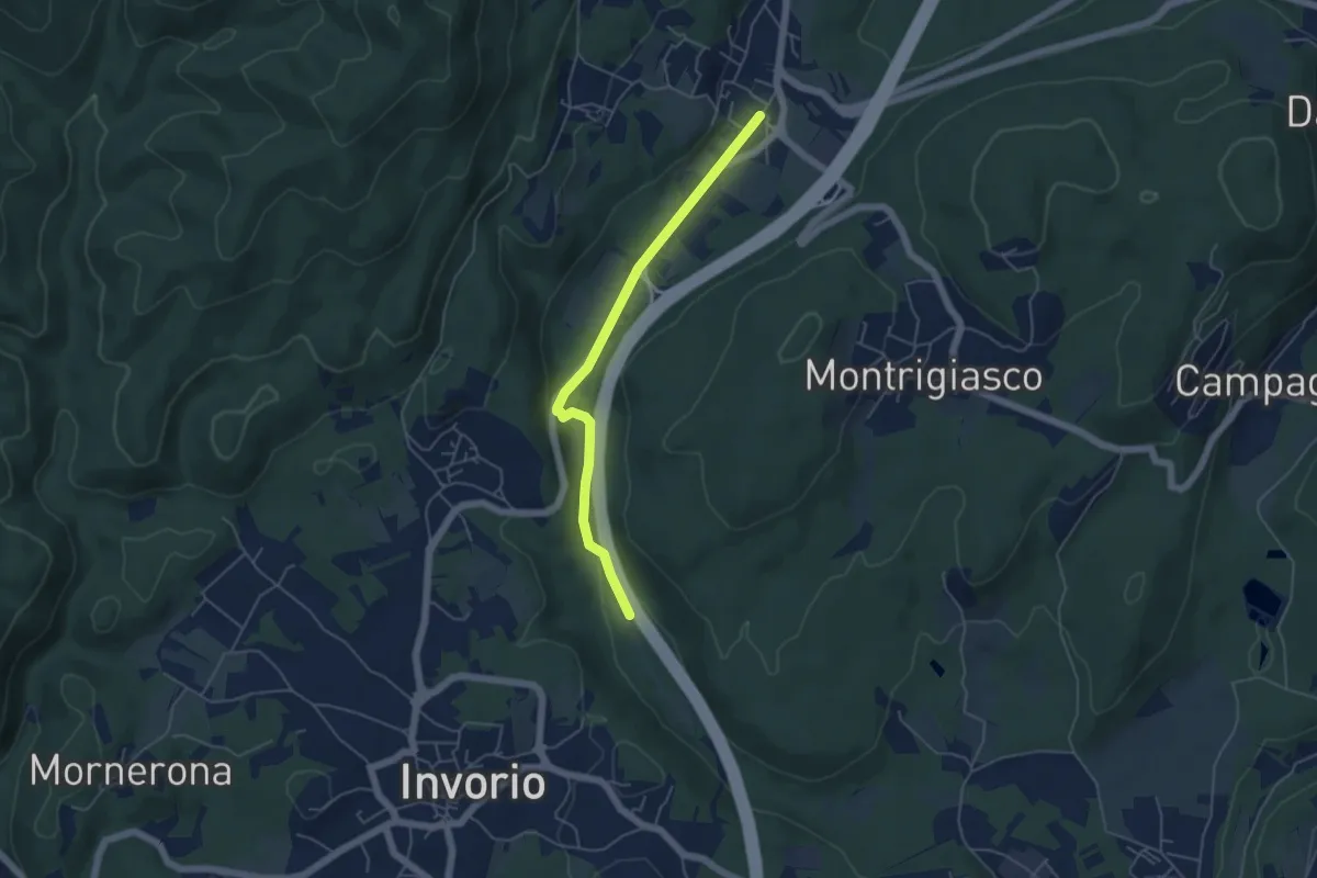
Easy · Trail
Bivio R08-S08, Meina – Bivio R05-R08, Ghevio
4.9 km · ↑ 82 m · 1 h 20 min · 13 km away
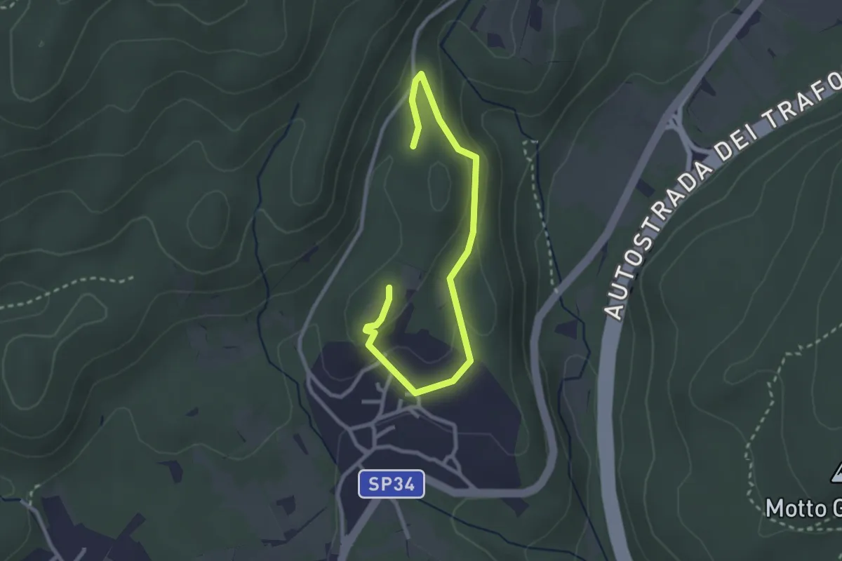
Easy · Trail
Un sentiero da favola - La via dei folletti
3.1 km · ↑ 87 m · 55 min · 13 km away
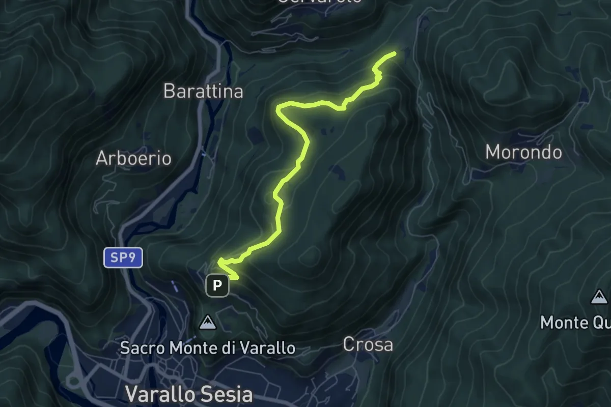
Medium · Trail
Cappella della Madonna – Pozzallo
6.7 km · ↑ 453 m · 2 h 33 min · 13 km away
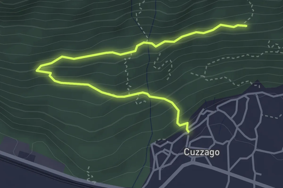
Medium · Trail
A44 - Cuzzago - Alpe Vargia
4.1 km · ↑ 276 m · 1 h 35 min · 13 km away
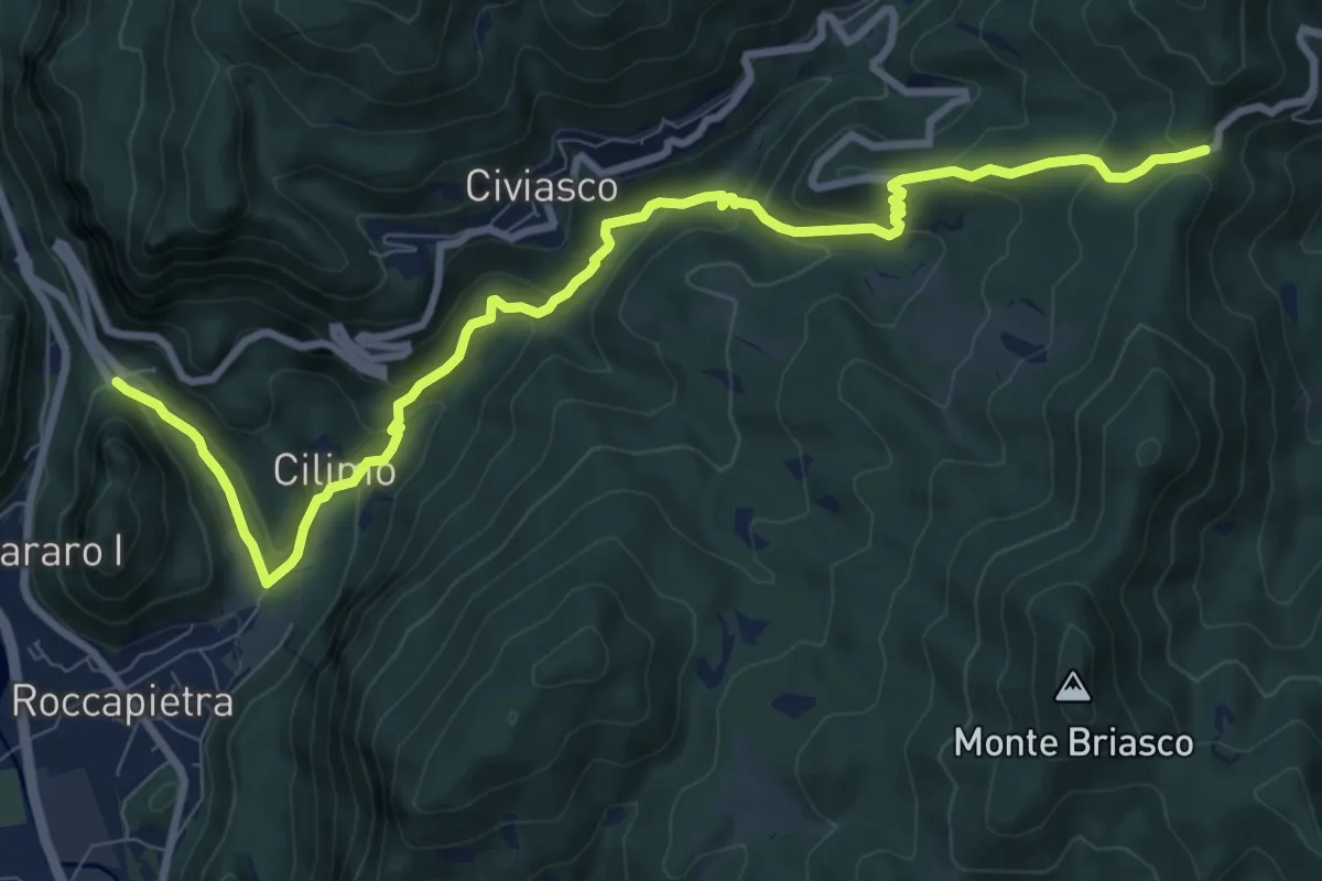
Medium · Trail
Varallo, presso Madonna di Loreto – La Colma, bivio VBAT34-VBAT34B-VCA644
10.6 km · ↑ 616 m · 3 h 50 min · 13 km away
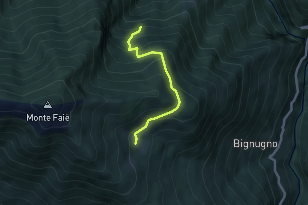
Medium · Cabin
P07d - Bivio P07 sotto Alpe Basseno - Alpe Ompio
3.5 km · ↑ 338 m · 1 h 33 min · 13 km away
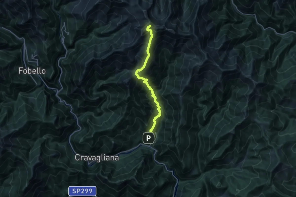
Demanding · Summit
Sabbia, località San Giuseppe – Monte Capio
16.5 km · ↑ 1867 m · 7 h 57 min · 13 km away
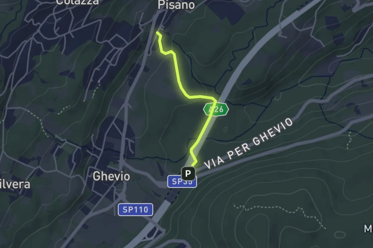
Easy · Trail
Meina – Pisano
2.6 km · ↑ 93 m · 49 min · 13 km away
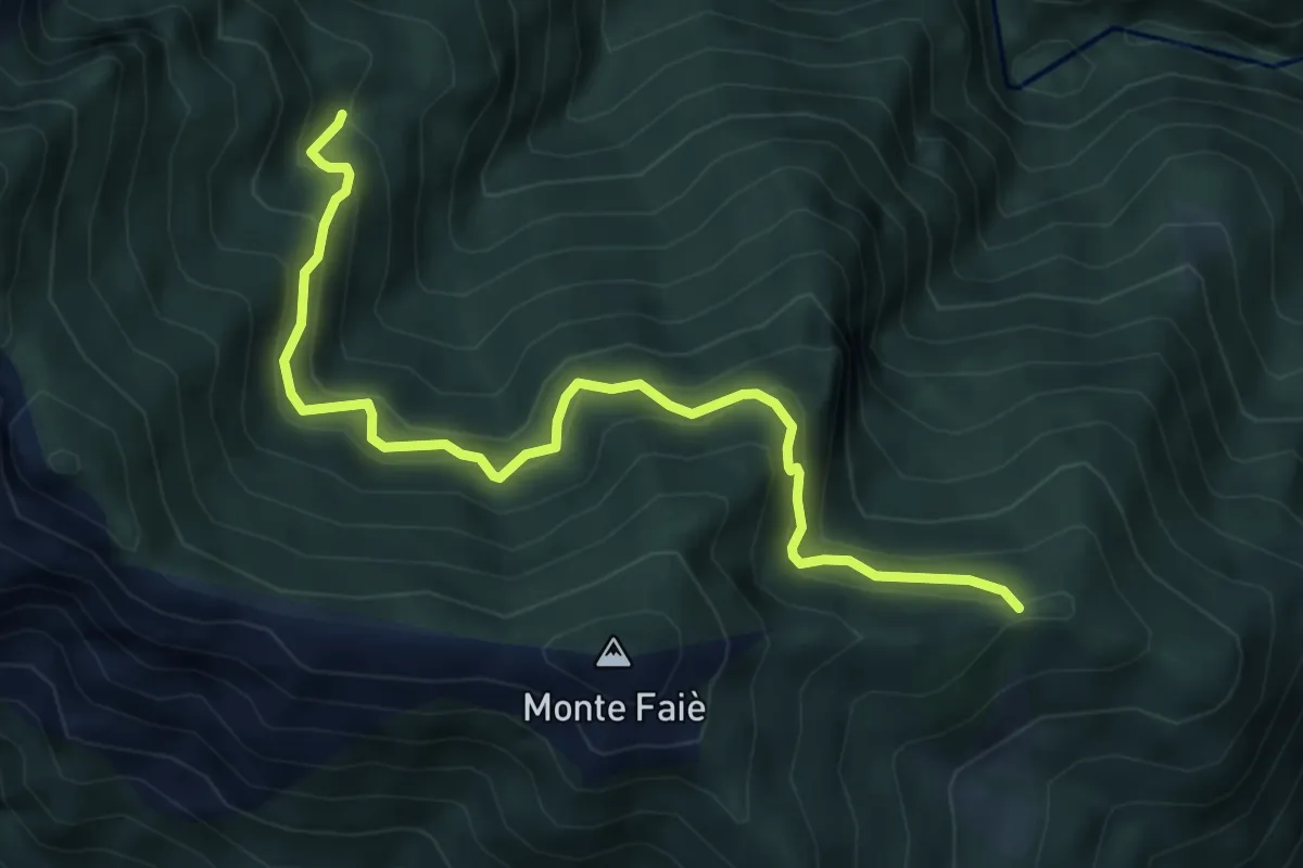
Medium · Trail
P07b - bivio A54 in località La Croce (Ompio) - Corte Buè
5.9 km · ↑ 534 m · 2 h 34 min · 13 km away
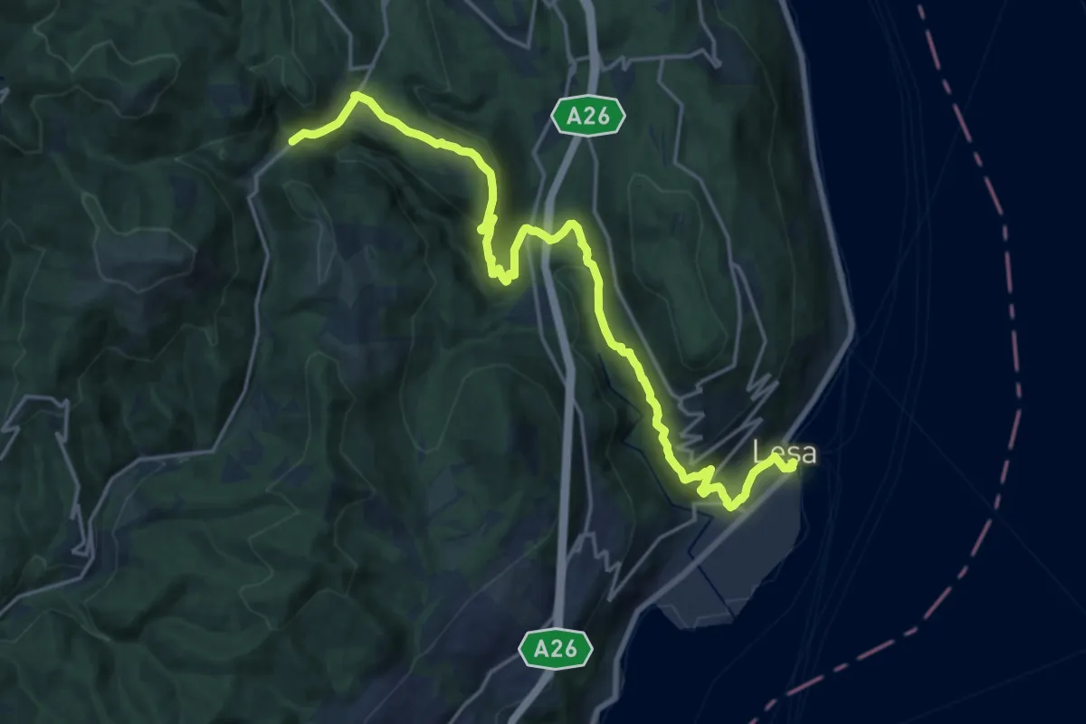
Demanding · Trail
VL7 - Lesa - Gignese
20.7 km · ↑ 724 m · 6 h 27 min · 13 km away
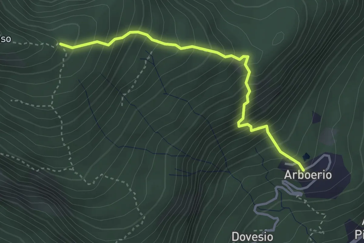
Medium · Trail
Arboerio – Alpe Piane, bivio VCA615-VCA610
3.3 km · ↑ 551 m · 1 h 58 min · 13 km away
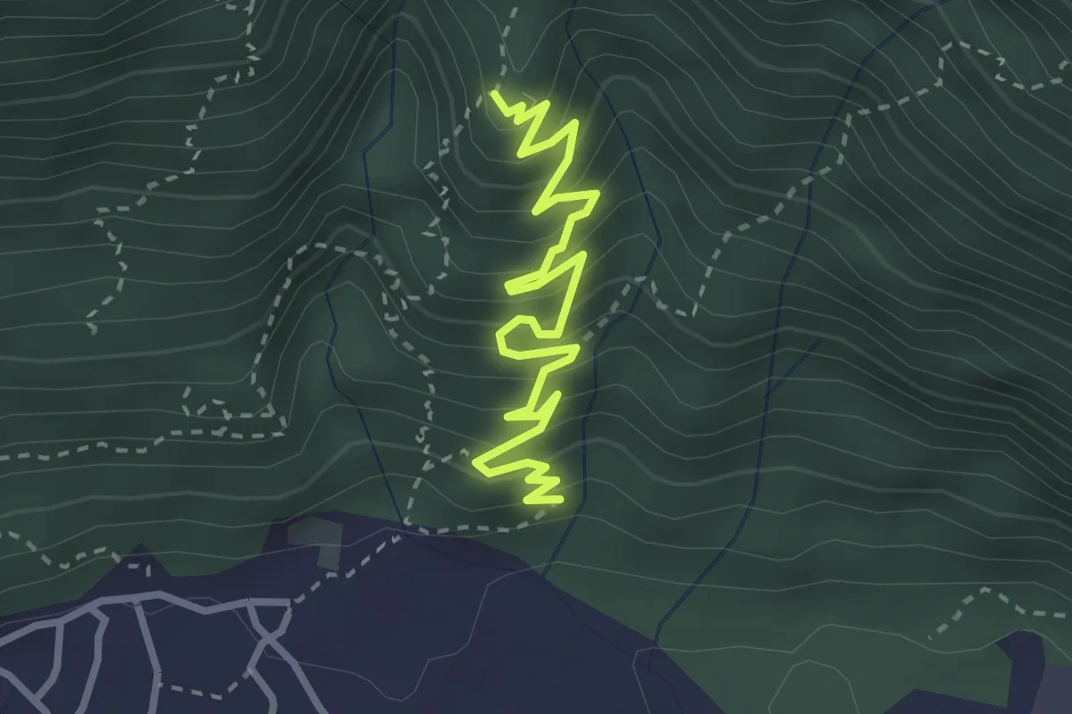
Medium · Trail
A60 - Linea Cadorna Cuzzago
3.3 km · ↑ 362 m · 1 h 33 min · 14 km away
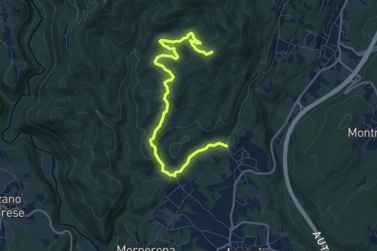
Demanding · Summit
VE1 - Invorio - Bocchetta Borsaga
9.8 km · ↑ 499 m · 3 h 23 min · 14 km away
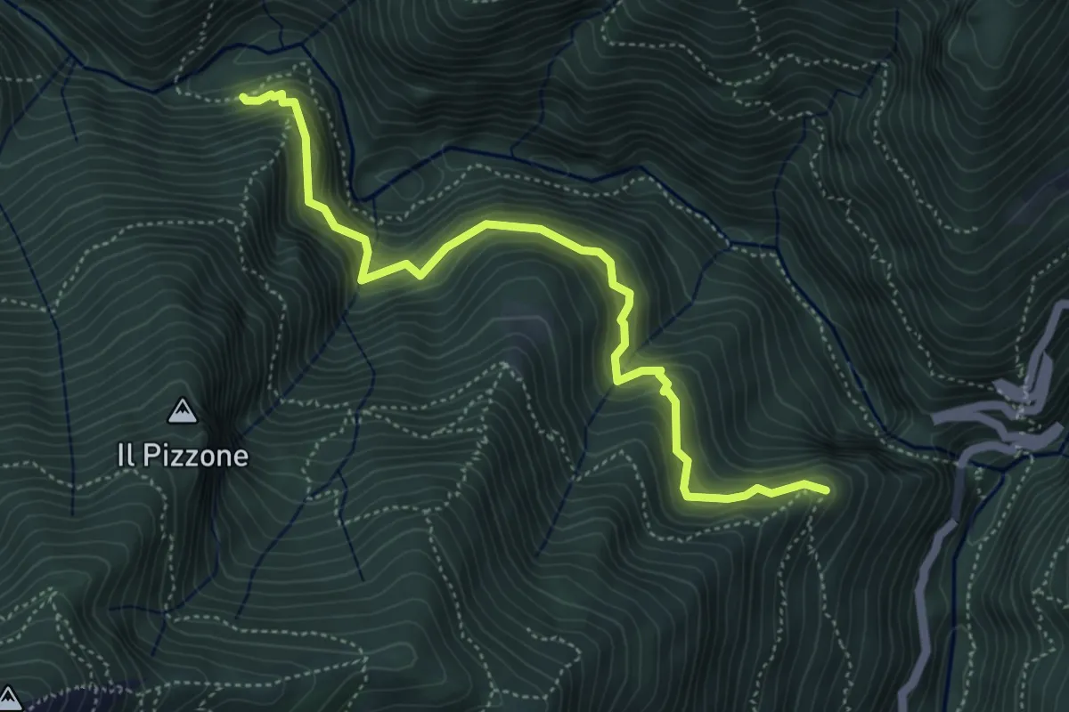
Demanding · Trail
P07a - Cappella Or Vergugn - Ponte Velina
5.1 km · ↑ 523 m · 2 h 20 min · 14 km away
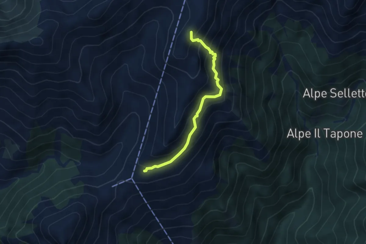
Demanding · Trail
Alpe Campo – Bivio VCA561-VC563
3.7 km · ↑ 370 m · 1 h 40 min · 14 km away
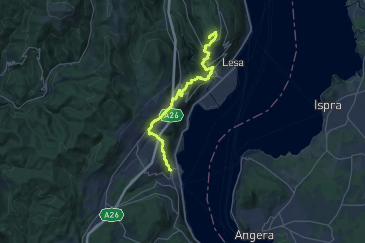
Demanding · Summit
Grand Tour del Lago Maggiore ® - Tappa 2 - Variante alta Monte alle Croci - Massino Visconti - Nebbiuno
18.1 km · ↑ 954 m · 6 h 20 min · 14 km away
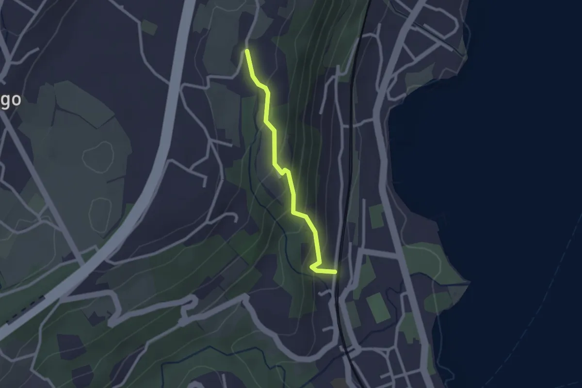
Easy · Trail
Percorso della Valcabbia
2.1 km · ↑ 146 m · 48 min · 14 km away
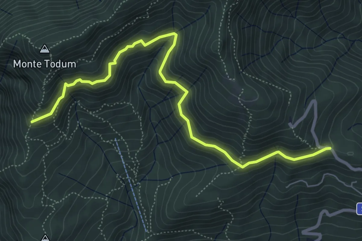
Medium · Trail
P02c - Memoriale Alpini - Alpe della Chiesa
6.8 km · ↑ 379 m · 2 h 25 min · 14 km away
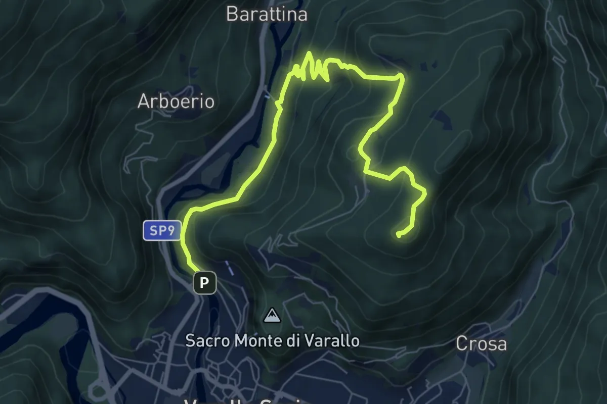
Medium · Summit
Sentiero Padre Gallino
8.7 km · ↑ 553 m · 3 h 15 min · 14 km away
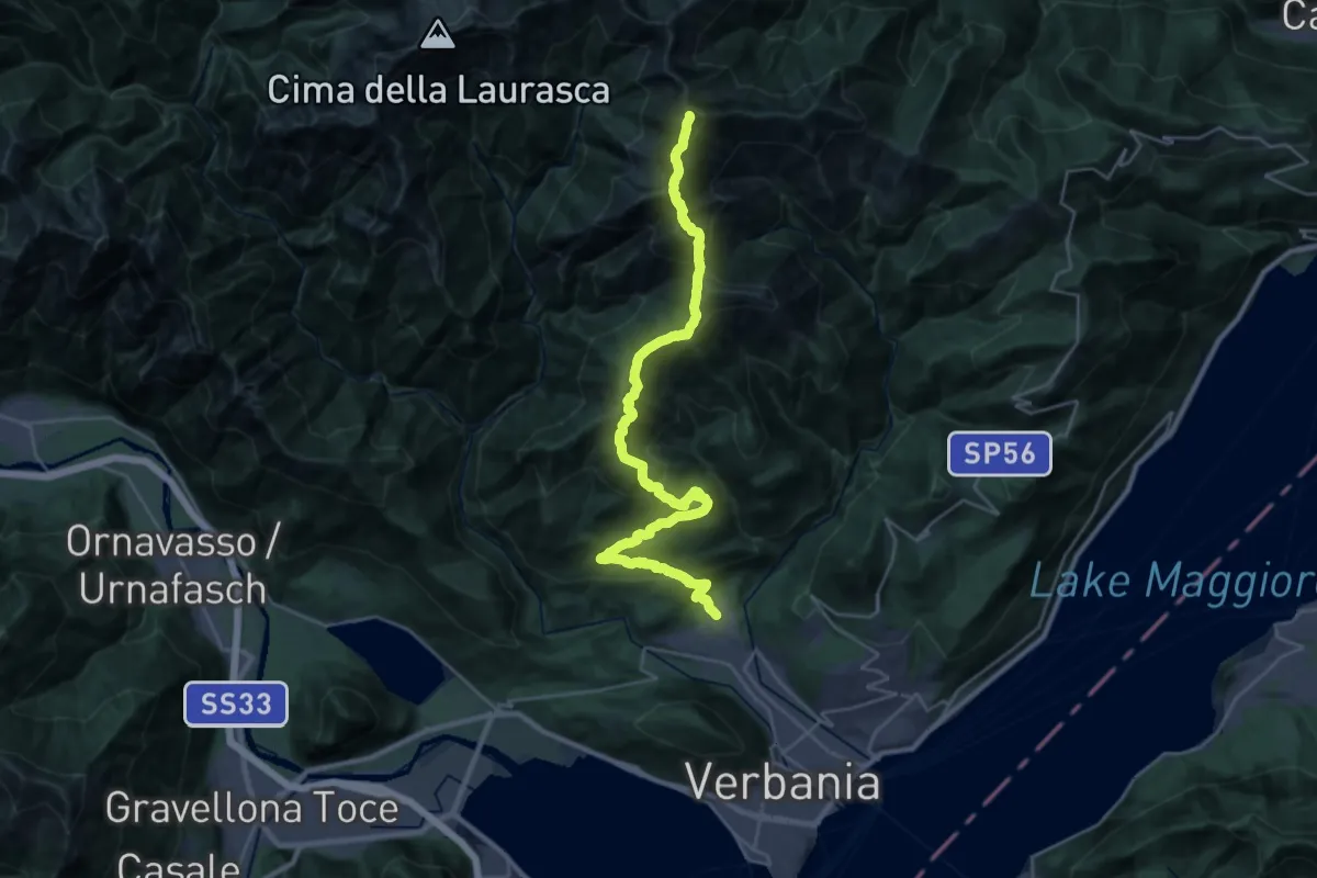
Demanding · Summit
R03 Cambiasca - Pian Cavallone - Pizzo Marona - Monte Zeda
31.8 km · ↑ 2306 m · 12 h 31 min · 14 km away
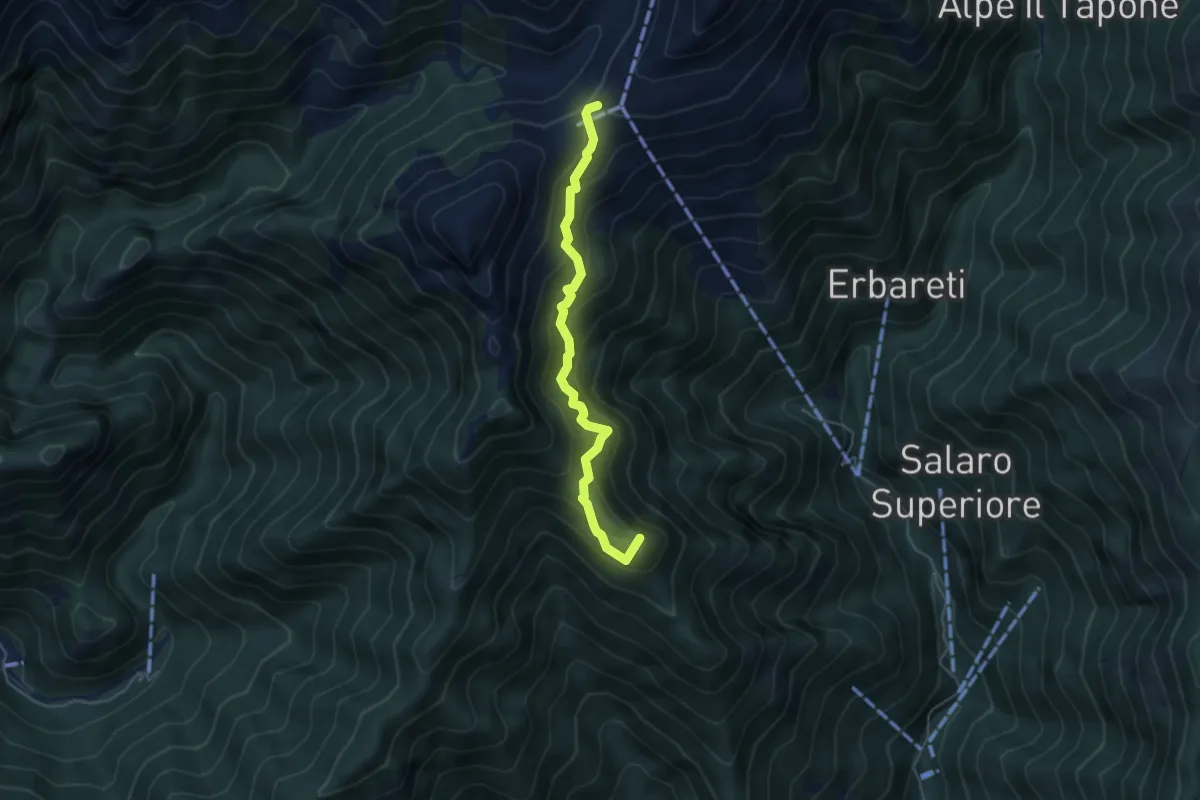
Demanding · Summit
Sabbia – Alpe Cevia
4.6 km · ↑ 482 m · 2 h 8 min · 14 km away
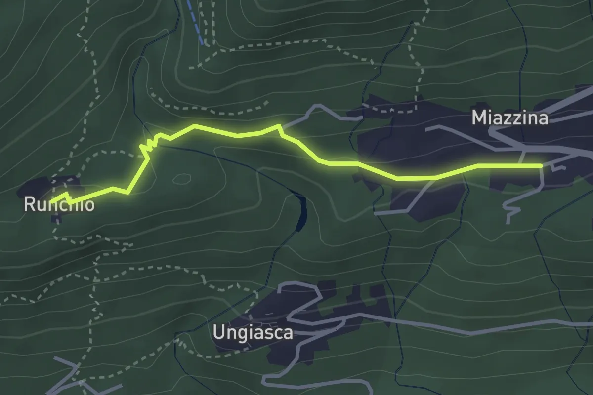
Medium · Trail
P02b - Miazzina - Alpe Runchio
3.1 km · ↑ 92 m · 56 min · 14 km away
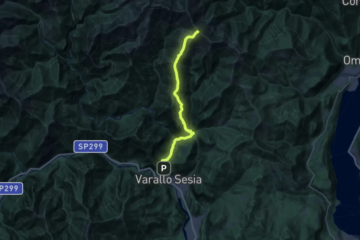
Demanding · Summit
Varallo – Massa del Turlo
23.1 km · ↑ 1647 m · 9 h 1 min · 14 km away
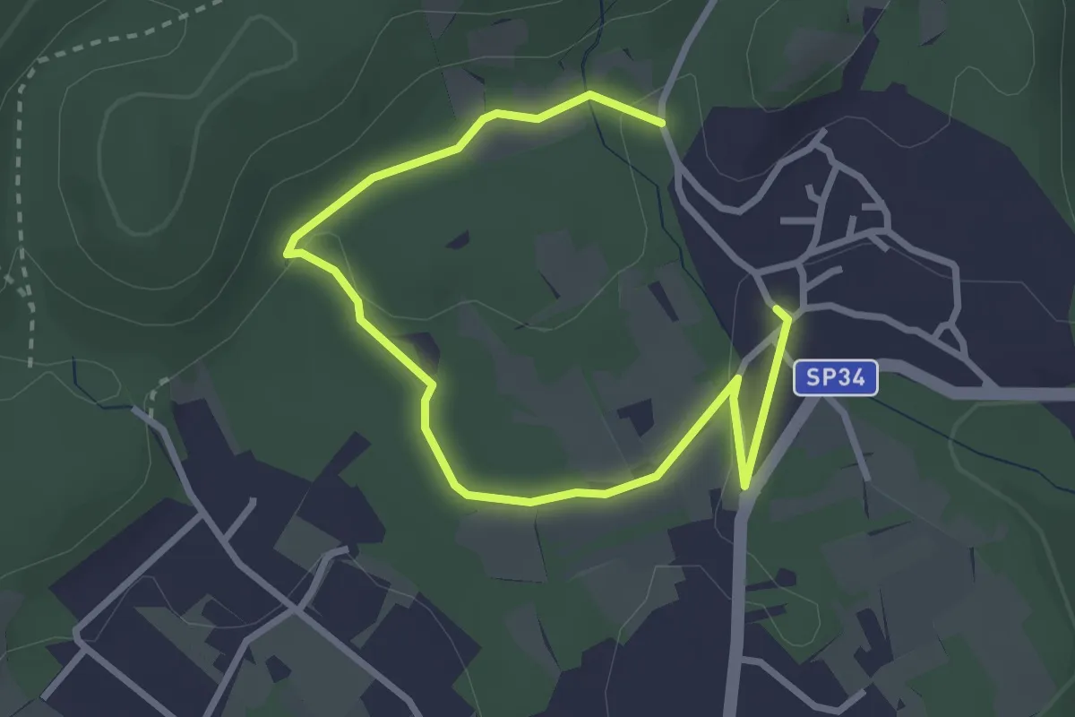
Easy · Trail
Un sentiero da favola - La via degli elfi
3.8 km · ↑ 51 m · 1 h · 14 km away
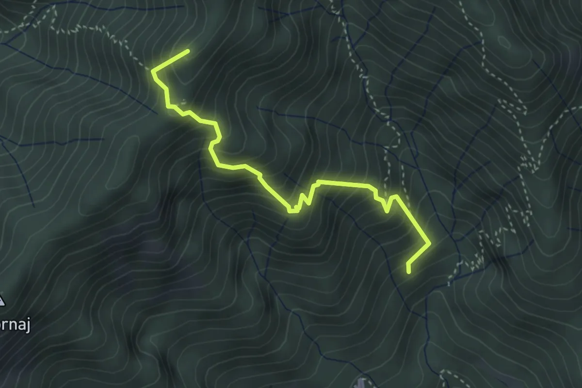
Medium · Summit
Bivio 572-581, Madonna del Tizzone – Bivio 580-581, Valbella Superiore
3.5 km · ↑ 530 m · 1 h 59 min · 14 km away
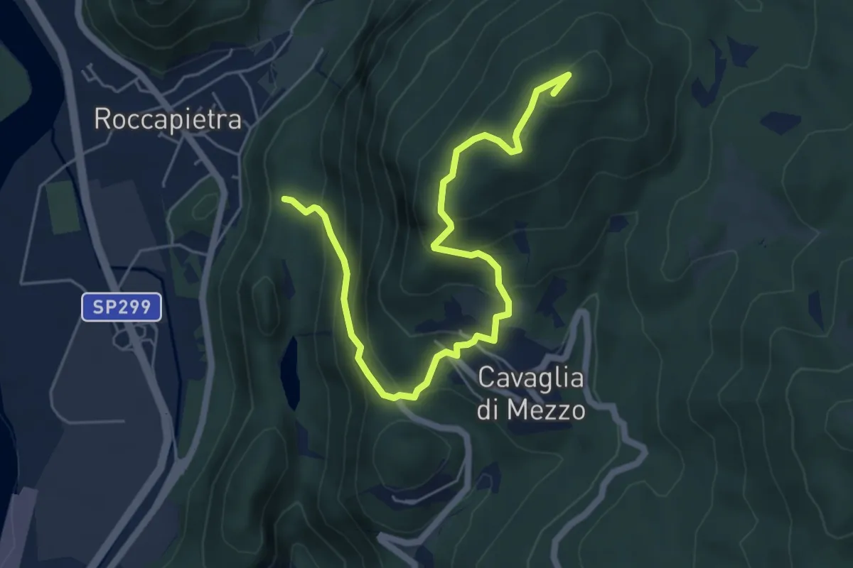
Medium · Summit
Roccapietra – Monte Carrue
6.3 km · ↑ 488 m · 2 h 33 min · 14 km away
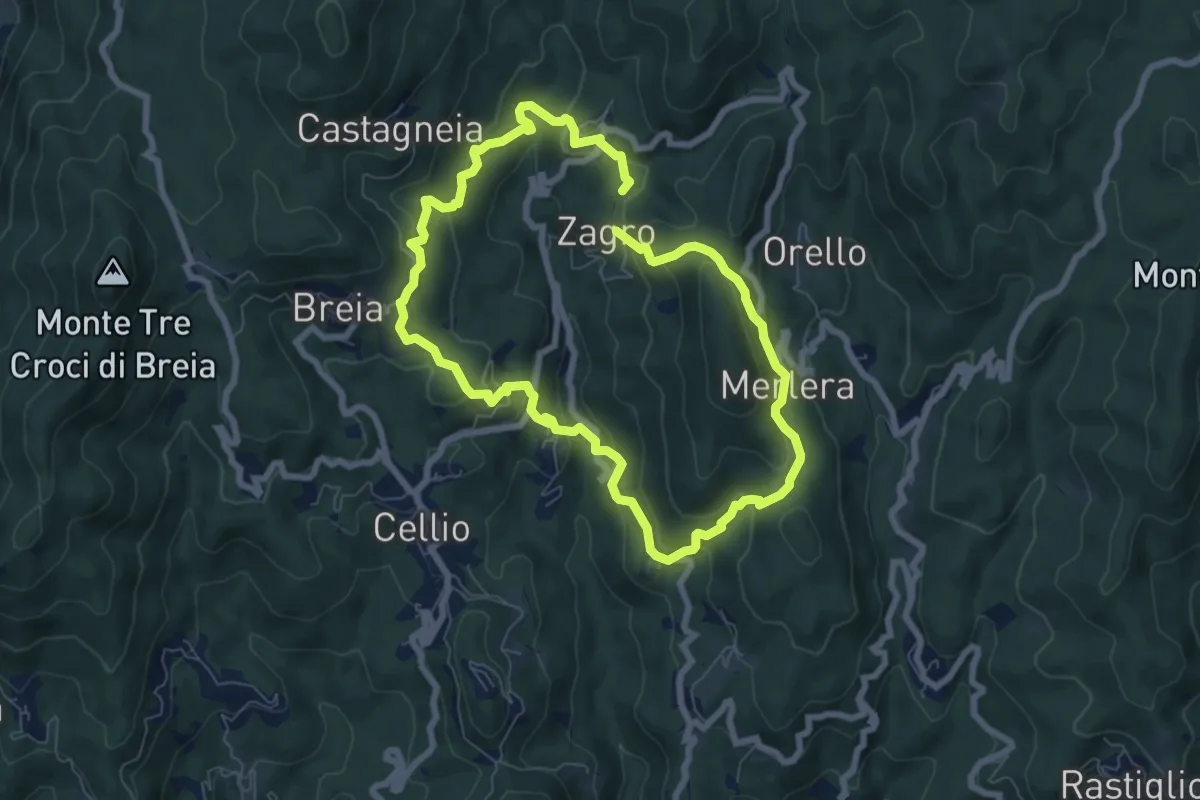
Medium · Trail
Anello della Valle di Cellio
6.6 km · ↑ 371 m · 2 h 27 min · 14 km away
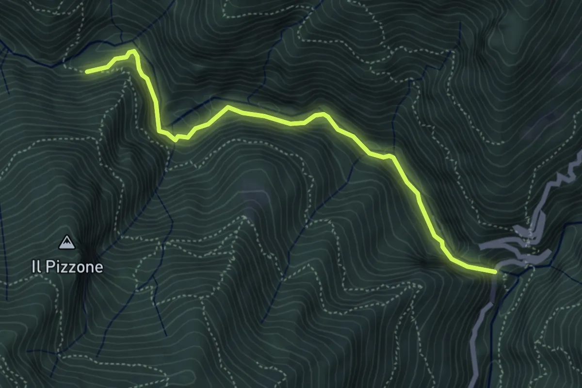
Demanding · Trail
XP1A - Ponte Casletto - Ponte Velina
5.2 km · ↑ 347 m · 1 h 58 min · 14 km away
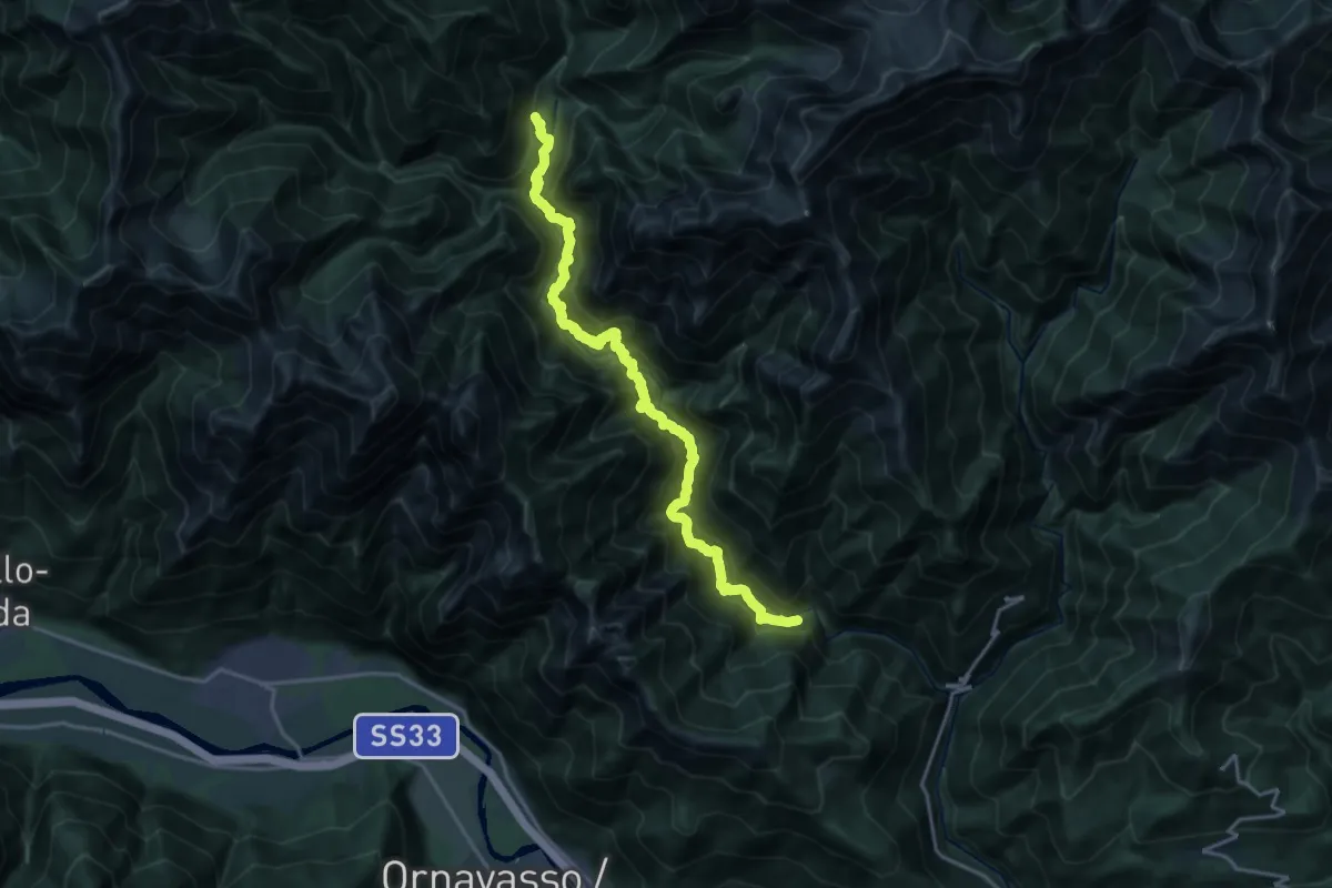
Expert · Trail
P50 - Ponte Velina - in La Piana (Ferrata Selvaggio Verde)
19.2 km · ↑ 1574 m · 7 h 56 min · 14 km away
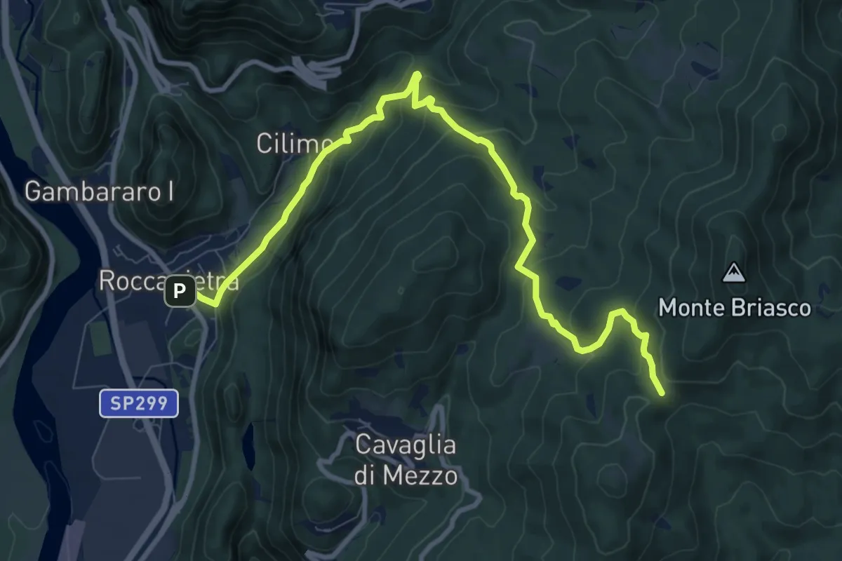
Medium · Cabin
Varallo, loc. Roccapietra , bivio VCA624-VCA730 – Breia, Sella Crosiggia, bivio VCA751-VCA734-VCA730
10.4 km · ↑ 650 m · 3 h 52 min · 14 km away
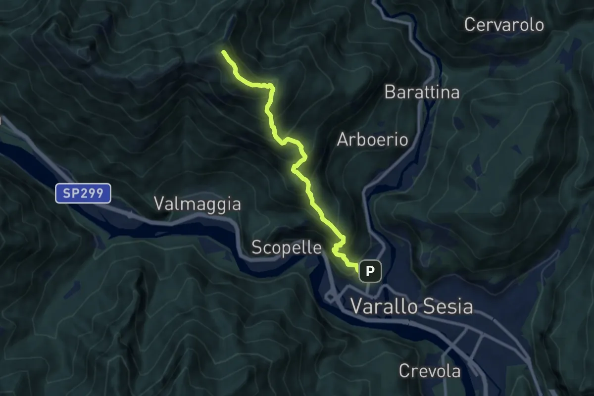
Expert · Summit
Varallo – Cima di Grignano
7.6 km · ↑ 914 m · 3 h 46 min · 14 km away
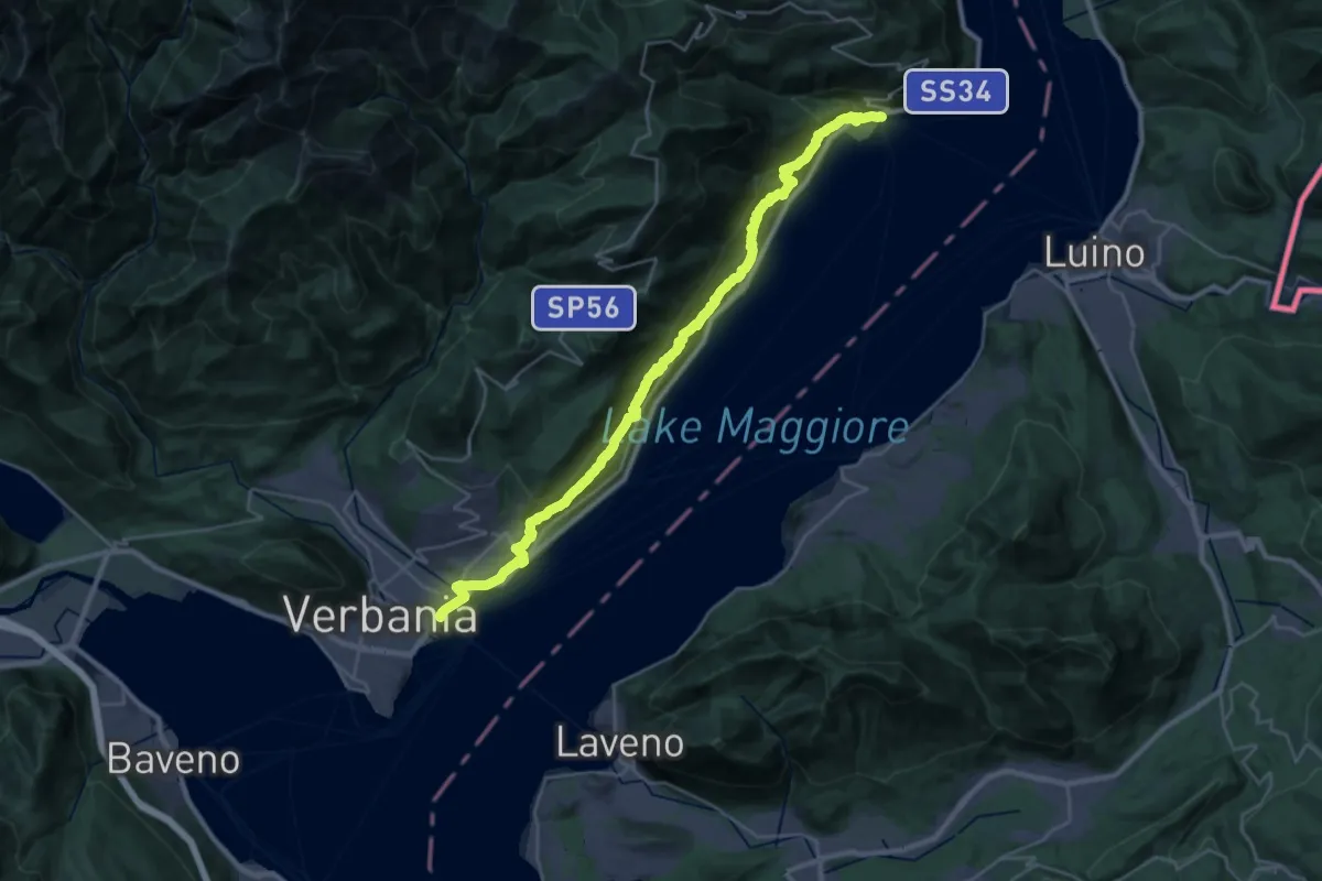
Demanding · Trail
R30 'Via delle Genti': tratto Cannero - Oggebbio - Sacro Monte SS.Trinità di Ghiffa - Verbania Intra
16.7 km · ↑ 839 m · 5 h 59 min · 14 km away
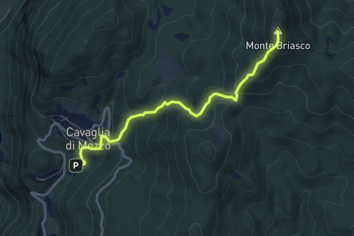
Demanding · Summit
Cavaglia Morondo – Civiasco, Monte Briasco, bivio VCA734-VCA634
6.2 km · ↑ 484 m · 2 h 31 min · 14 km away
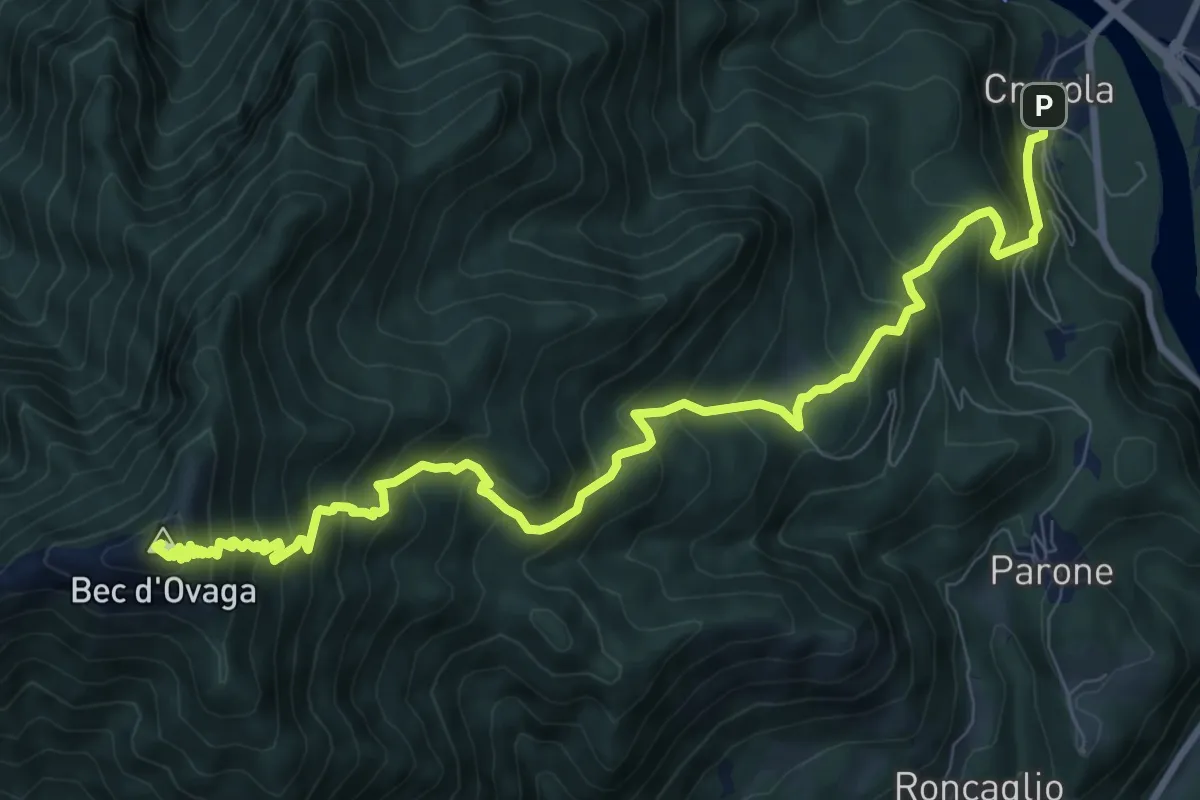
Demanding · Summit
Varallo, frazione Crevola, bivio VCA601-VCA605 – Bec d'Ovaga o Res, bivio VCA602-VCA605
11.3 km · ↑ 1148 m · 5 h 9 min · 14 km away
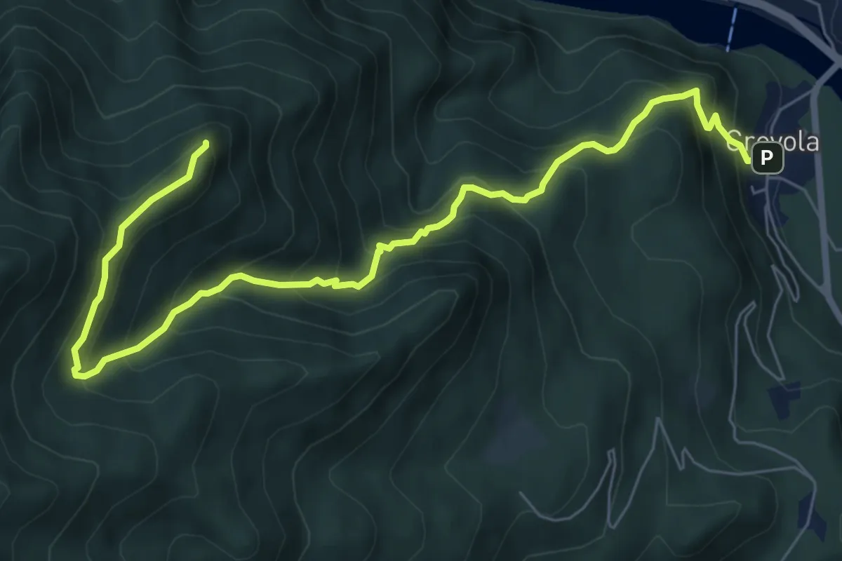
Demanding · Summit
Varallo, frazione Crevola, bivio VCA601-VCA605 – Il Pizzo
8.3 km · ↑ 865 m · 3 h 50 min · 14 km away
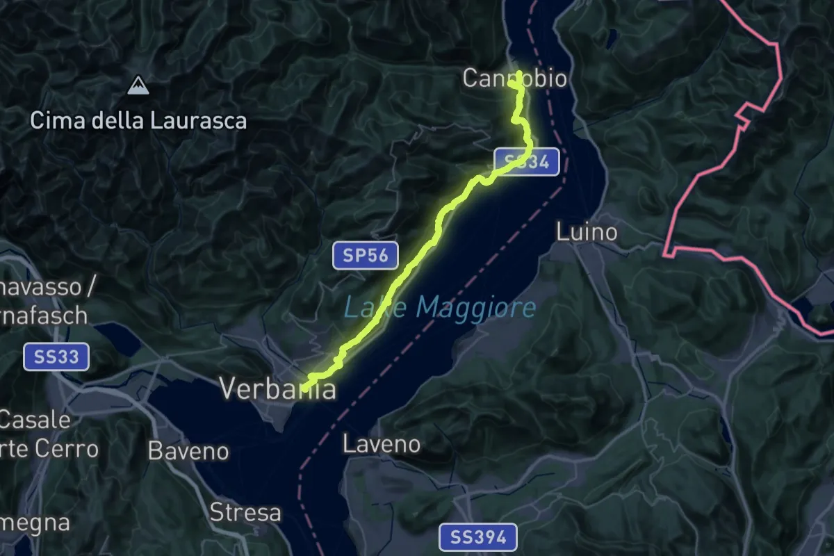
Demanding · Trail
Cammino del Lago Maggiore
23.9 km · ↑ 1193 m · 8 h 33 min · 14 km away
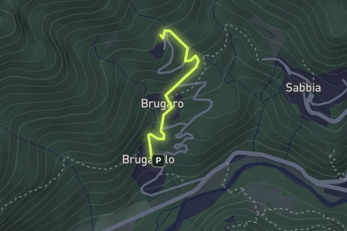
Easy · Trail
Cravagliana, frazione Brugarolo – Cravagliana, presso Sassello, bivio VCA572-VCA572A
1.9 km · ↑ 191 m · 52 min · 14 km away
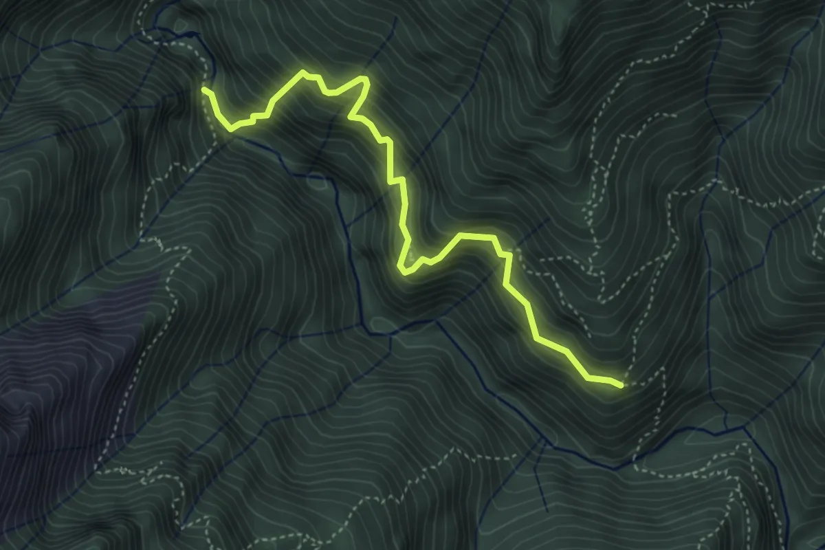
Demanding · Trail
X01 - La strà di vacch
4.5 km · ↑ 655 m · 2 h 29 min · 14 km away