Trails near Omegna
325 hikes starting within 15 km, nearest first.
Nearest first, page 7 of 7
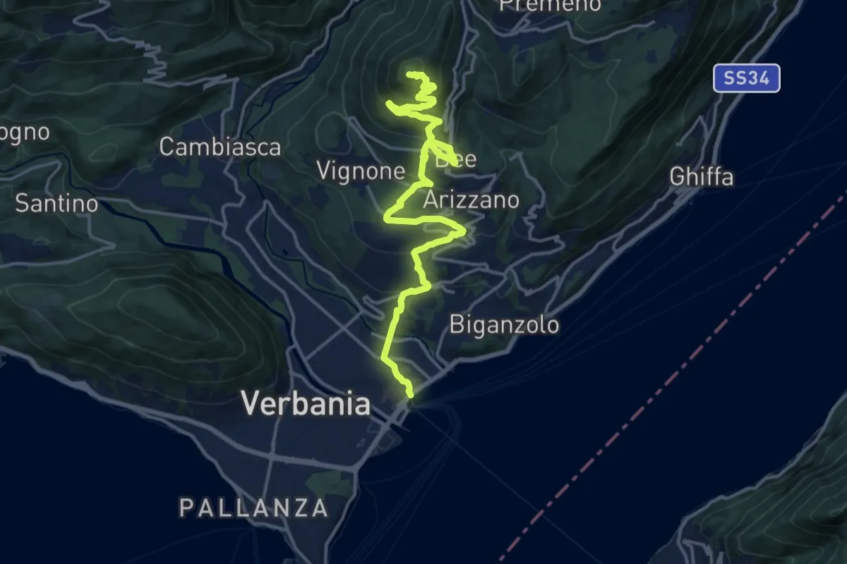
Medium · Summit
R04 Verbania Intra - Zoverallo - San Martino - Bèe - Monte Cimolo - Pian Nava
17.7 km · ↑ 765 m · 5 h 50 min · 14 km away
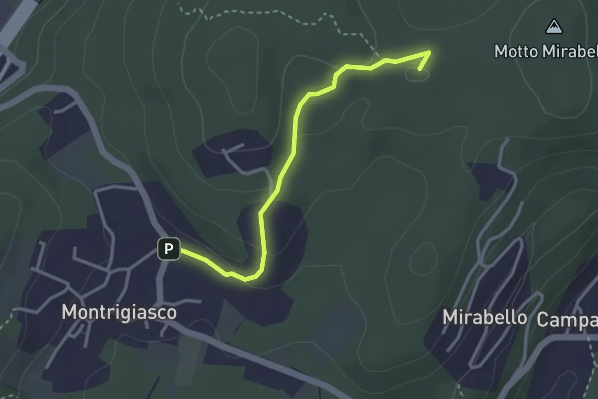
Easy · Summit
VA7 - Montrigiasco - Bivio VA8
2.7 km · ↑ 86 m · 50 min · 14 km away
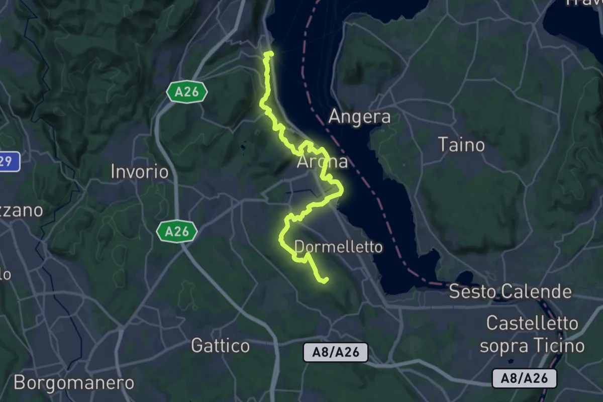
Demanding · Summit
Cammino del Lago Maggiore
26.9 km · ↑ 665 m · 7 h 47 min · 14 km away
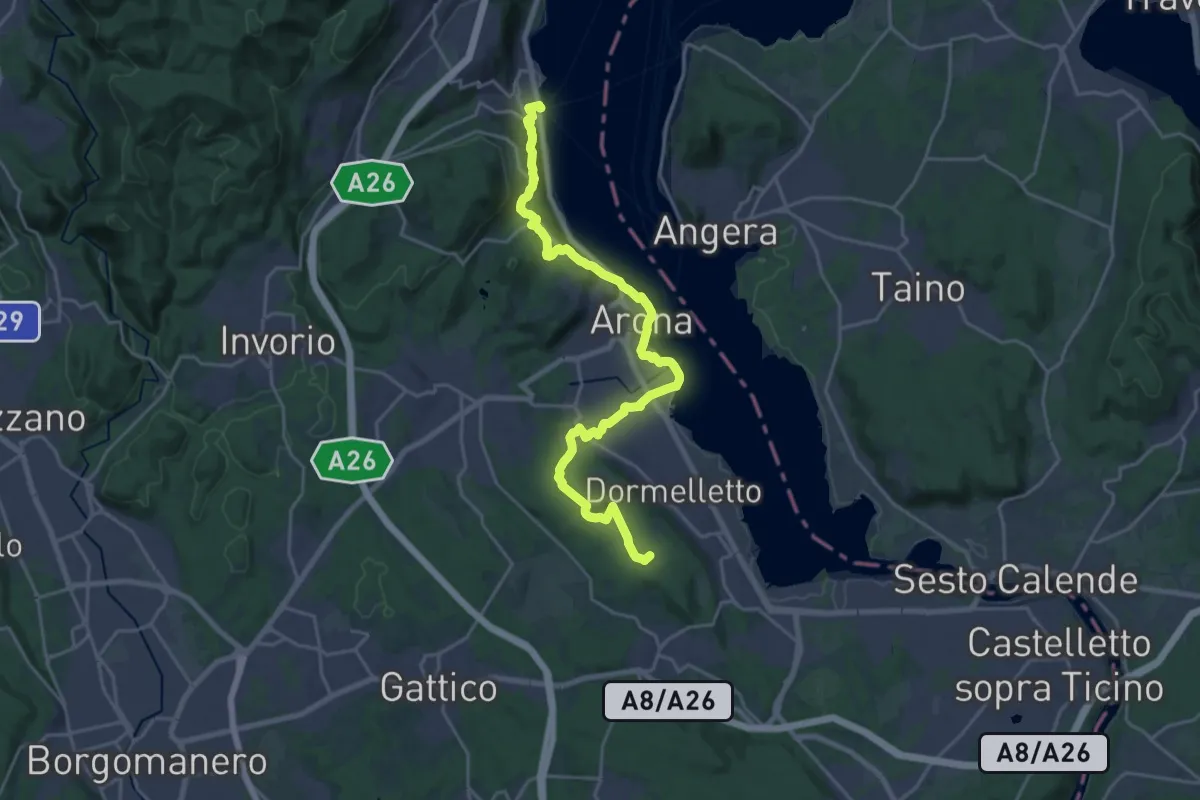
Demanding · Summit
Grand Tour del Lago Maggiore ® - Tappa 3 - Meina - Sesto Calende
24.3 km · ↑ 583 m · 7 h · 14 km away
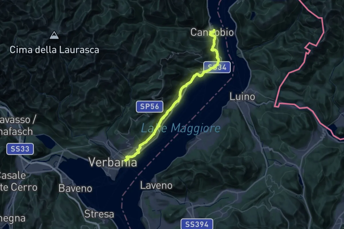
Demanding · Trail
Grand Tour del Lago Maggiore ® - Tappa 11 - Cannobio - Verbania lntra
23.3 km · ↑ 1160 m · 8 h 21 min · 14 km away
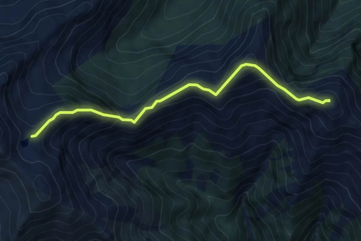
Expert · Summit
Z10a - Colle dell'Usciolo - Mazza dell'Inferno
6.0 km · ↑ 686 m · 2 h 54 min · 15 km away
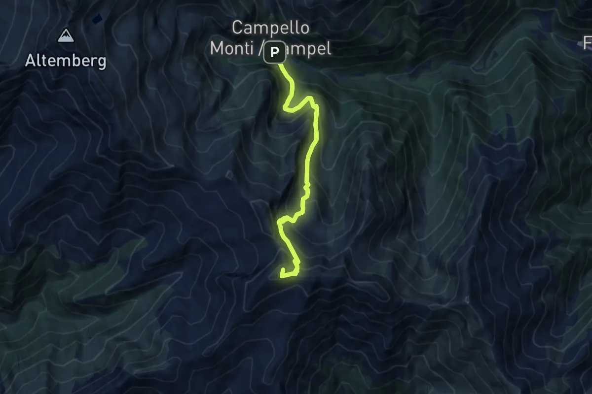
Expert · Summit
Z15 - Campello Monti - Monte Capio
8.4 km · ↑ 896 m · 3 h 56 min · 15 km away
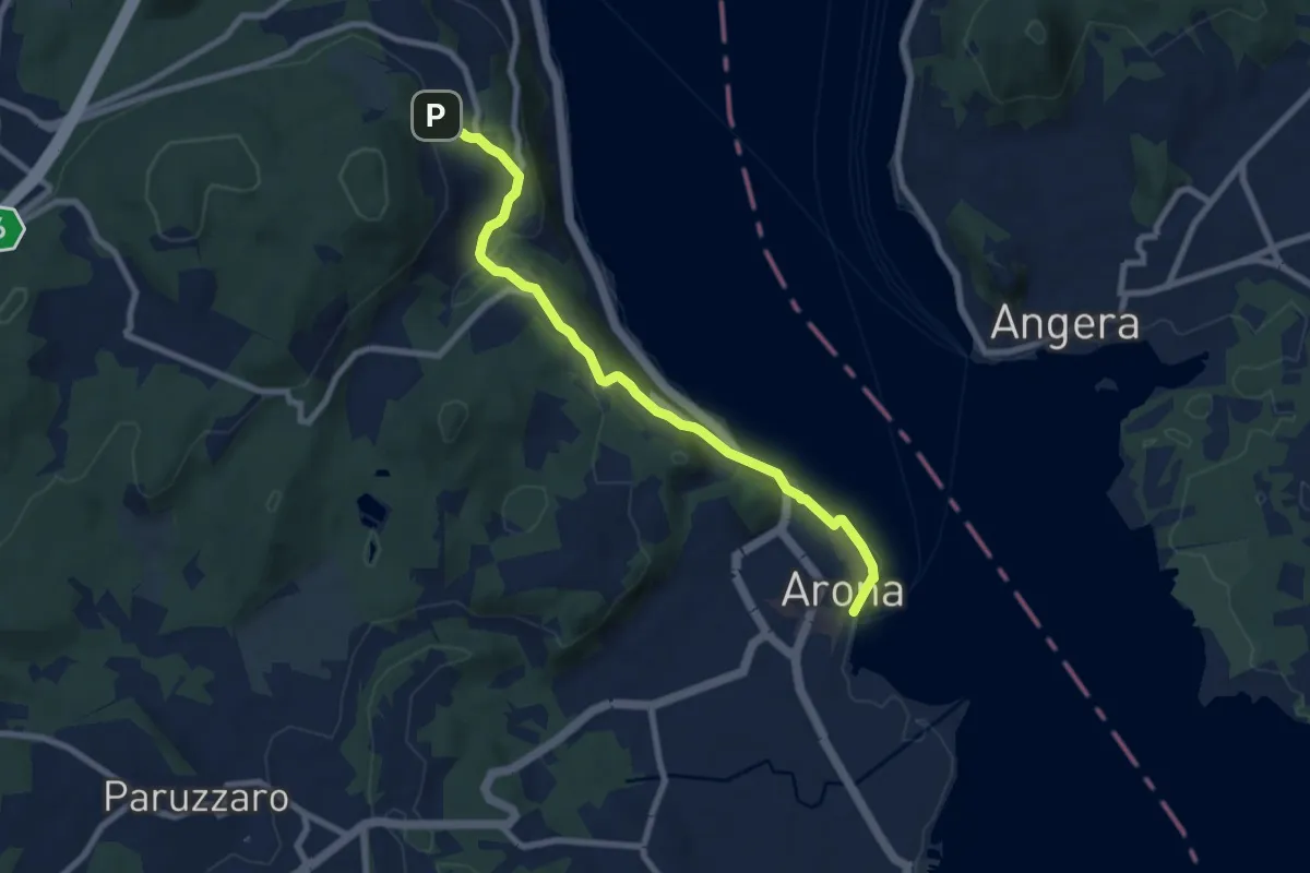
Medium · Trail
VA0 - Arona - Dagnente
8.1 km · ↑ 258 m · 2 h 28 min · 15 km away
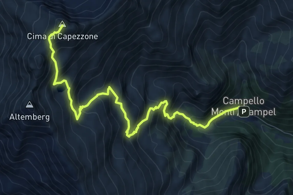
Demanding · Summit
Z17 - Campello Monti - Cima di Capezzone
10.1 km · ↑ 1078 m · 4 h 43 min · 15 km away
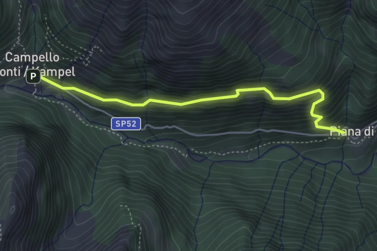
Medium · Trail
Z00b - Piana di Forno - Campello Monti
4.1 km · ↑ 366 m · 1 h 46 min · 15 km away
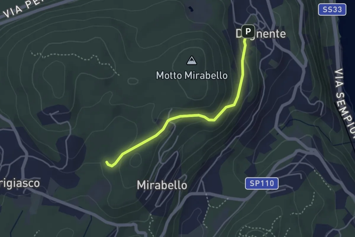
Easy · Trail
VA8 - Dagnente - Bivio VA9
3.3 km · ↑ 105 m · 1 h · 15 km away
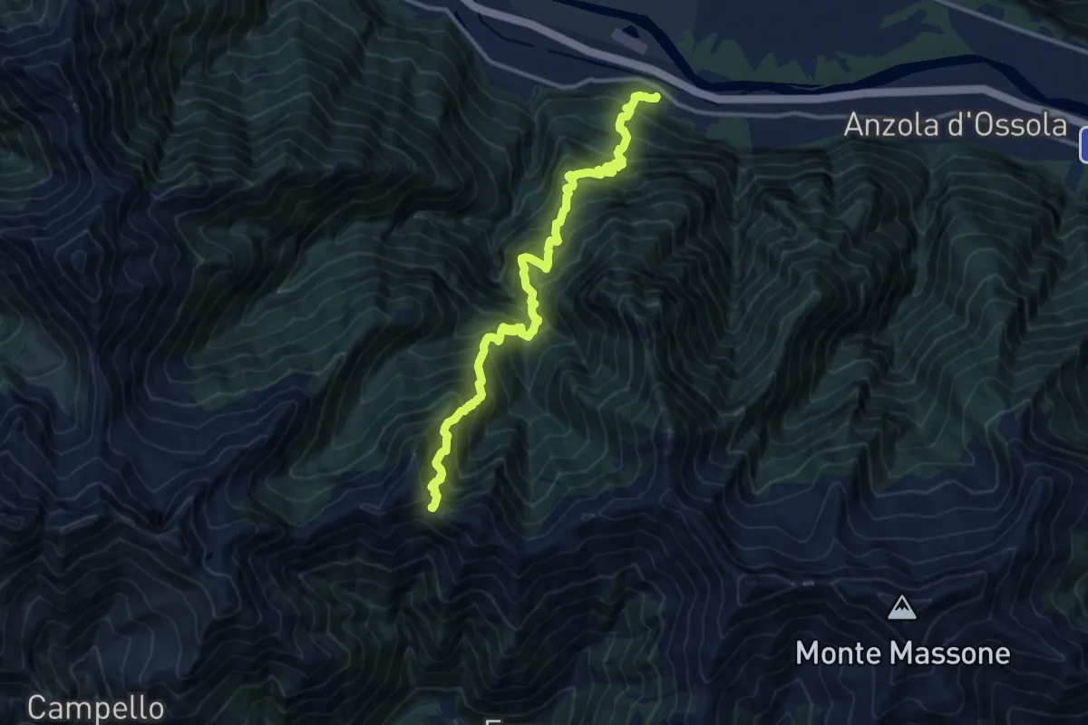
Demanding · Trail
Megolo di Mezzo – Alpe Ventolaro
14.2 km · ↑ 1960 m · 7 h 36 min · 15 km away
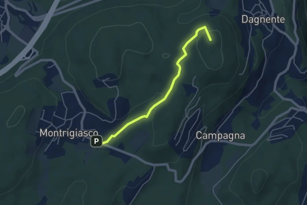
Medium · Summit
VA9 - Montrigiasco - Dagnente
3.6 km · ↑ 104 m · 1 h 4 min · 15 km away
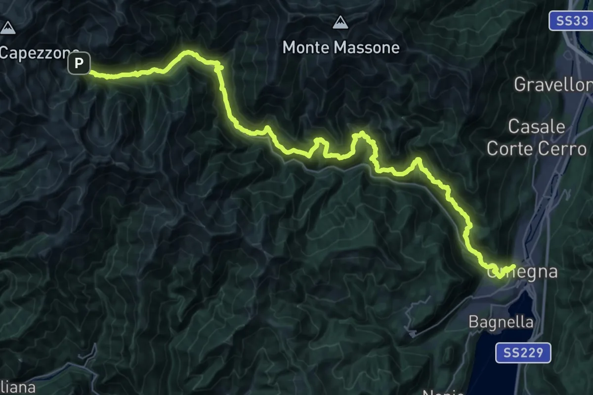
Demanding · Trail
Z00 - Strà Vegia
22.8 km · ↑ 953 m · 8 h 17 min · 15 km away
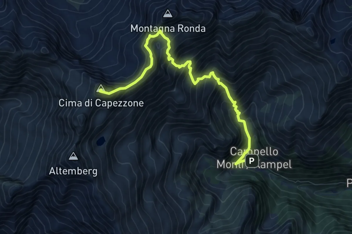
Demanding · Summit
Grata Gamul Trekking - Tappa 4
10.1 km · ↑ 1232 m · 5 h 3 min · 15 km away
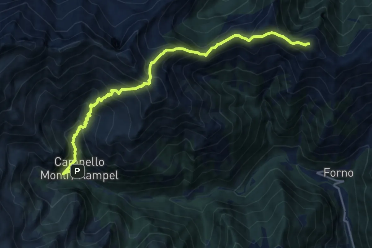
Expert · Summit
Grata Gamul Trekking -Tappa 5
12.7 km · ↑ 1404 m · 6 h 2 min · 15 km away
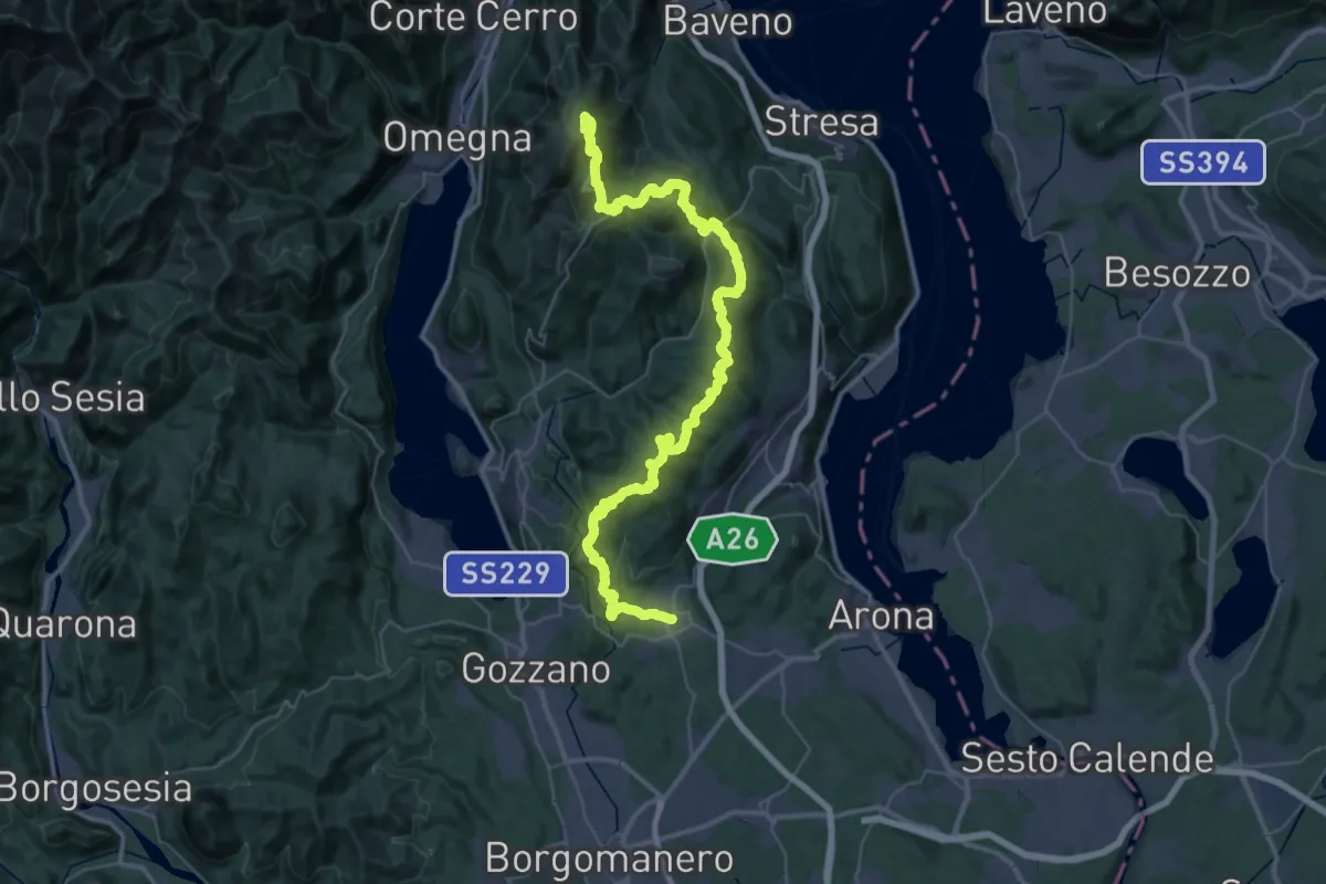
Demanding · Summit
V00 - Dorsale Vergante
57.1 km · ↑ 2393 m · 18 h 39 min · 15 km away
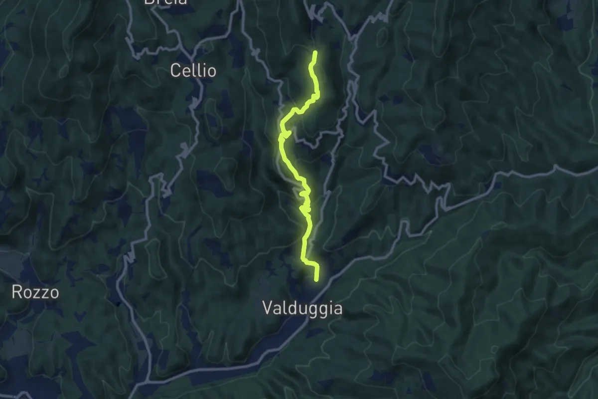
Medium · Trail
Bivio 750-759, Valduggia – Bivio 750-756, Valpiana
8.5 km · ↑ 436 m · 2 h 58 min · 15 km away
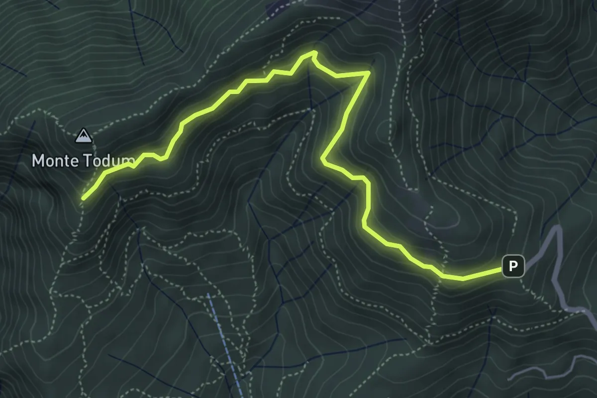
Medium · Trail
P02d - Cappella Fina - bivio P02 sotto Monte Todun
5.8 km · ↑ 511 m · 2 h 29 min · 15 km away
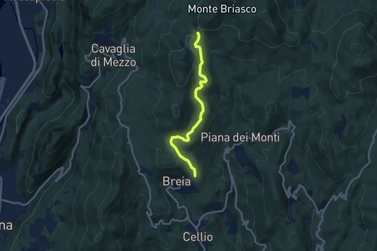
Medium · Cabin
Breia, località Codarafagno, bivio VCA751-VCA756 – Breia, Sella Crosiggia, bivio VCA751-VCA734-VCA730
6.7 km · ↑ 369 m · 2 h 23 min · 15 km away
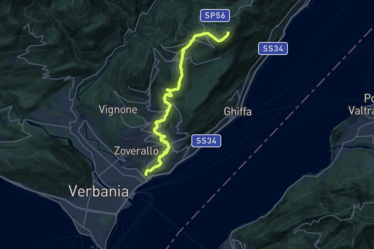
Demanding · Summit
R02 Verbania Intra bivio R30 Via Selasca - Arizzano - Albagnano - Premeno - Pizzo d'Omo
17.8 km · ↑ 902 m · 6 h 9 min · 15 km away
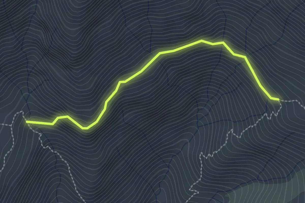
Demanding · Trail
Z14a Alpe Cunetta sopra - Alpe Fornale sopra
2.8 km · ↑ 182 m · 1 h 3 min · 15 km away
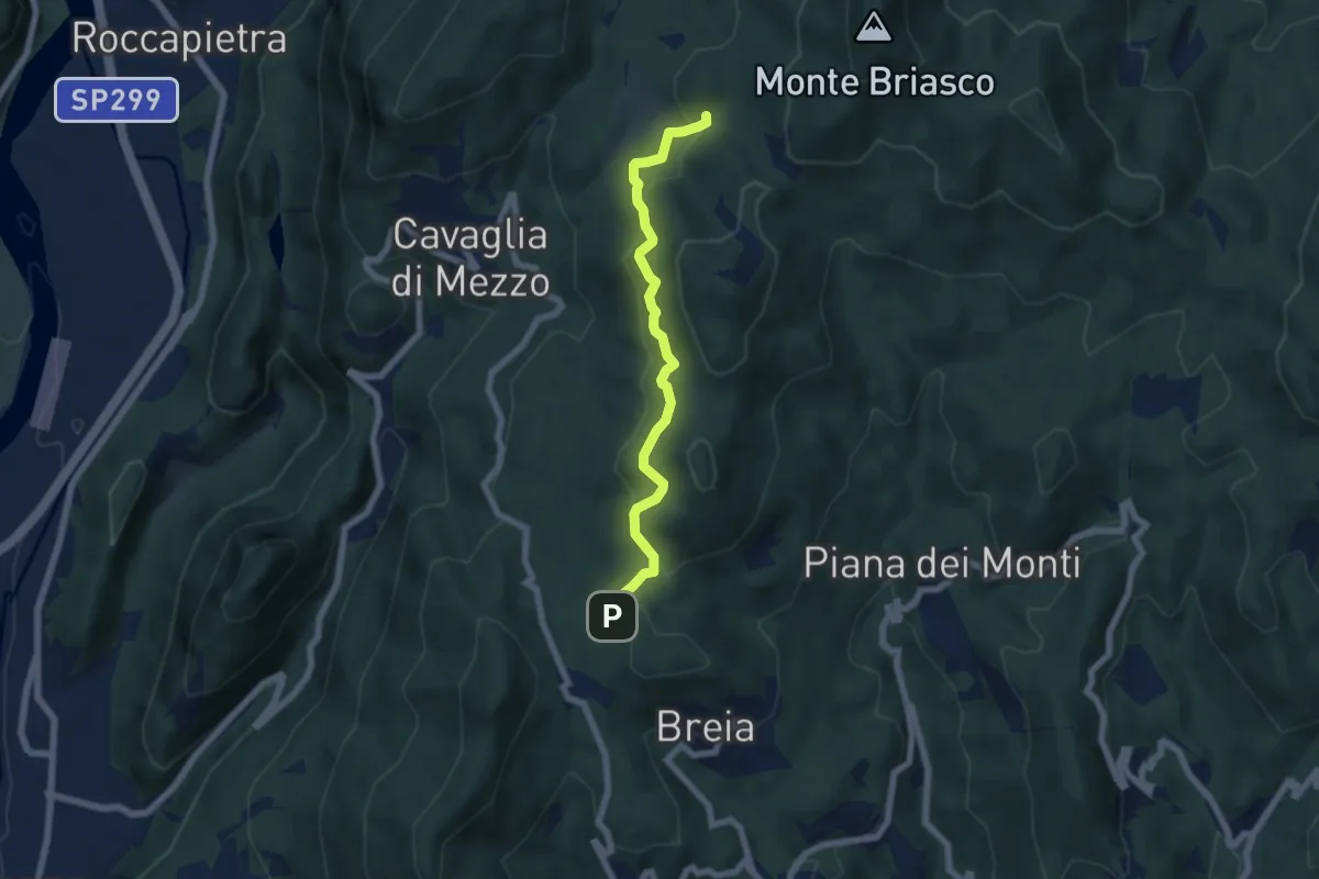
Medium · Trail
San Bernardo di Breia – Alpe Bondale
5.9 km · ↑ 348 m · 2 h 9 min · 15 km away
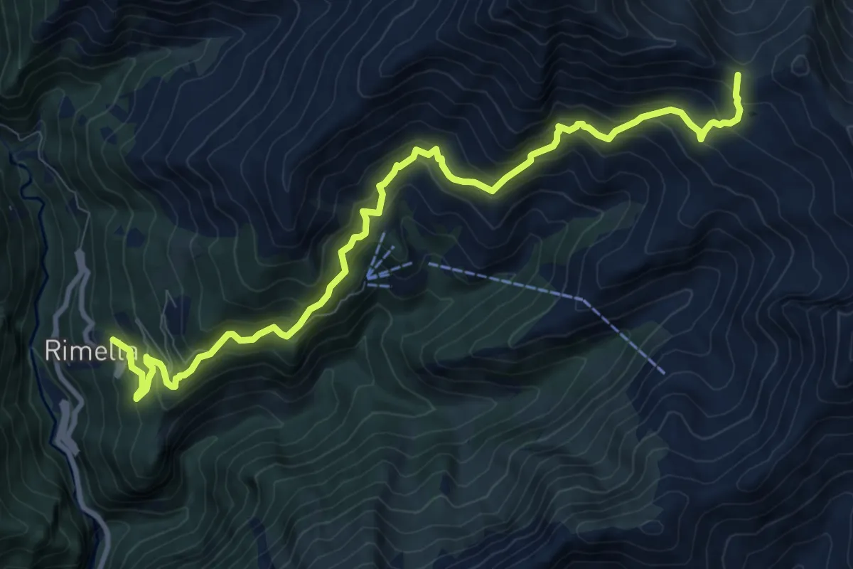
Demanding · Trail
Rimella, bivio VCA547-VCA548 – Bocchetta di Campello
11.2 km · ↑ 1130 m · 5 h 5 min · 15 km away
Medium · Trail
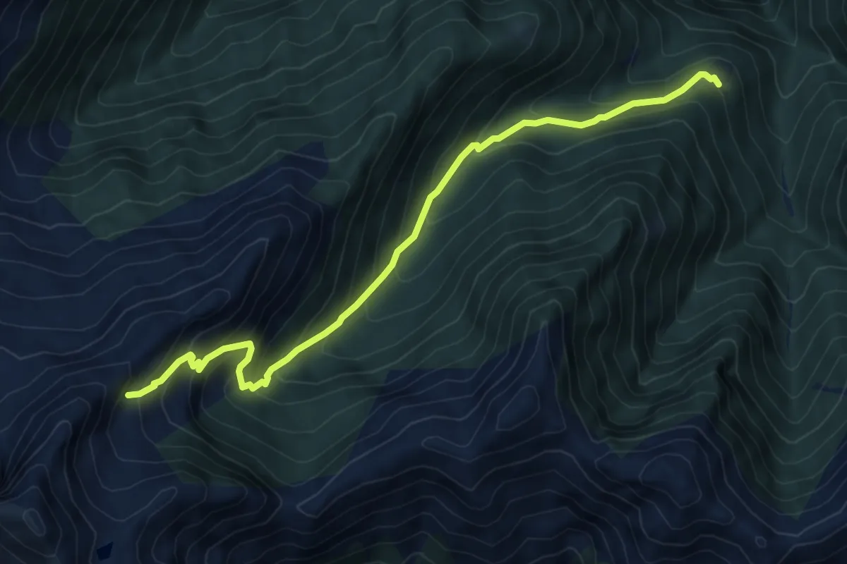
A39a - Alpe Orcocco - La Balma bivio B97
7.6 km · ↑ 759 m · 3 h 27 min · 15 km away
Medium · Trail
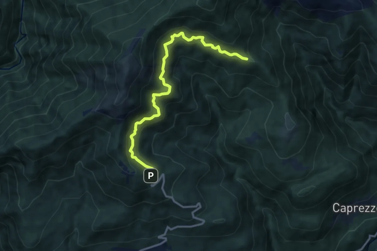
R03a Cappella Fina bivio R03 - Bivio R05 tra Cappella Porta e Cornala
8.6 km · ↑ 755 m · 3 h 40 min · 15 km away
Demanding · Summit
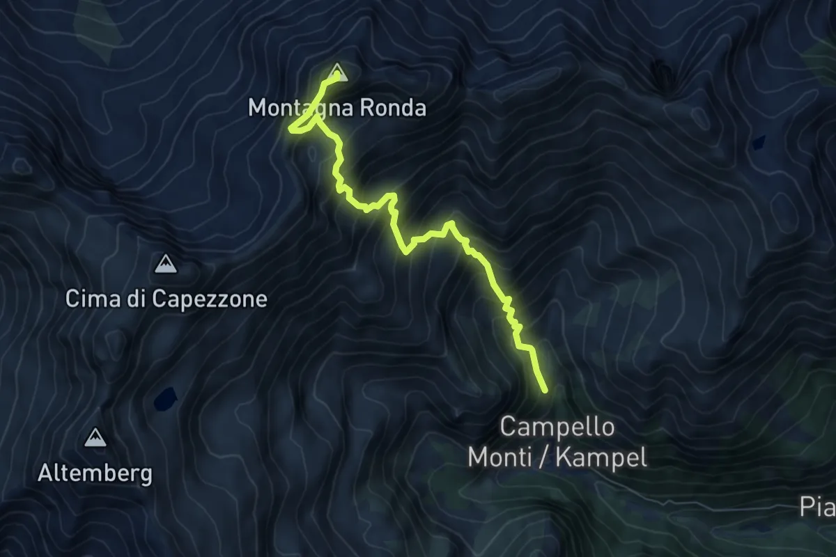
Z14 - Campello Monti - Montagna Ronda
6.8 km · ↑ 973 m · 3 h 43 min · 15 km away
Demanding · Trail
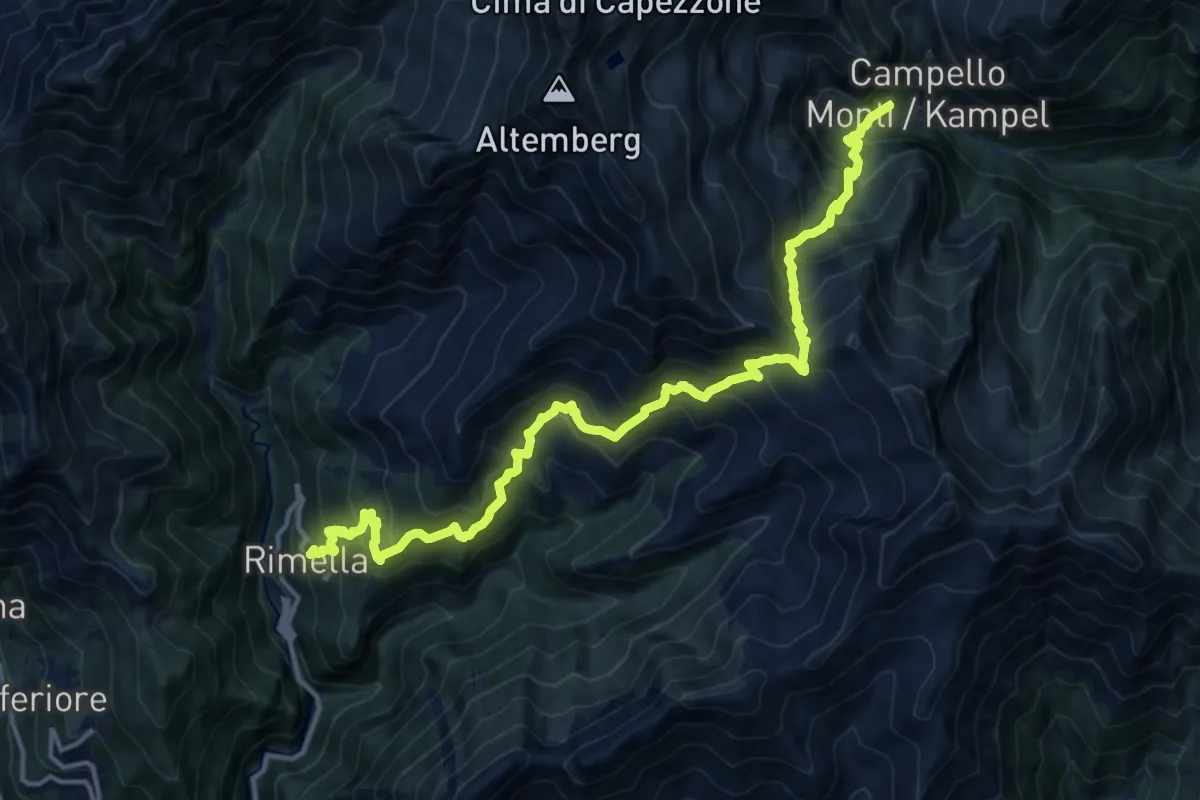
GTA: Campello Monti - Rimella
16.8 km · ↑ 1721 m · 7 h 42 min · 15 km away
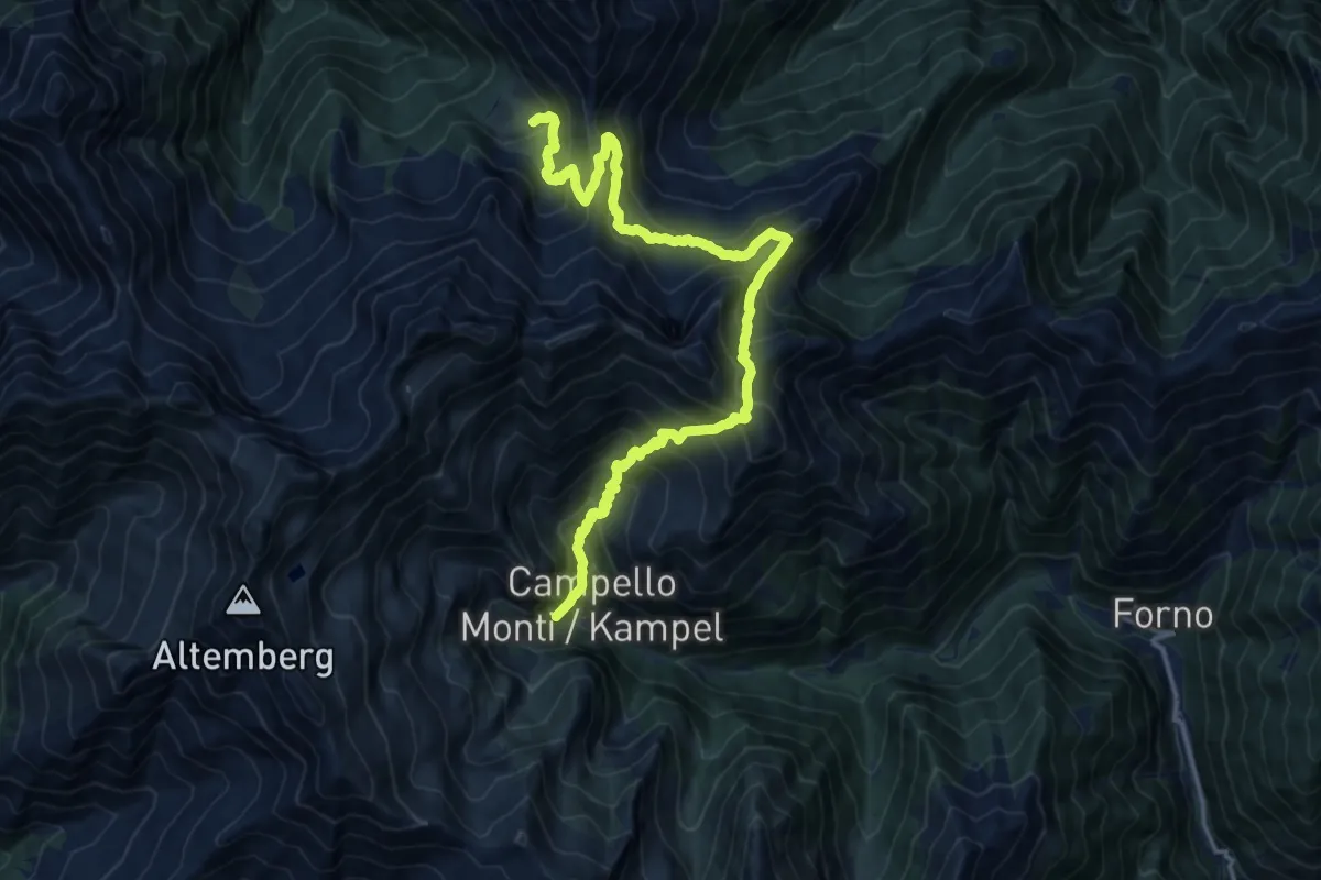
Demanding · Cabin
Campello Monti – Alpe Lago
16.3 km · ↑ 1570 m · 7 h 16 min · 15 km away
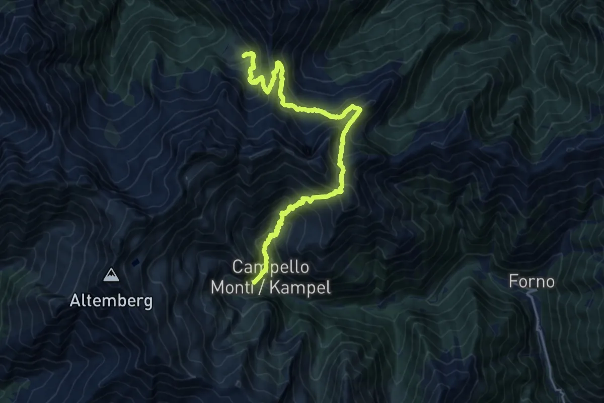
Demanding · Cabin
GTA: Alpe del Lago - Campello Monti
16.3 km · ↑ 1570 m · 7 h 16 min · 15 km away
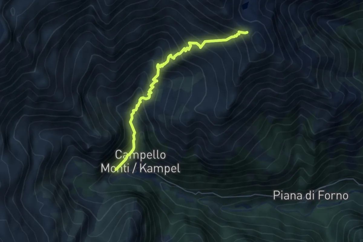
Medium · Trail
Z99 - Campello Monti - Colle dell'Usciolo
5.7 km · ↑ 688 m · 2 h 50 min · 15 km away
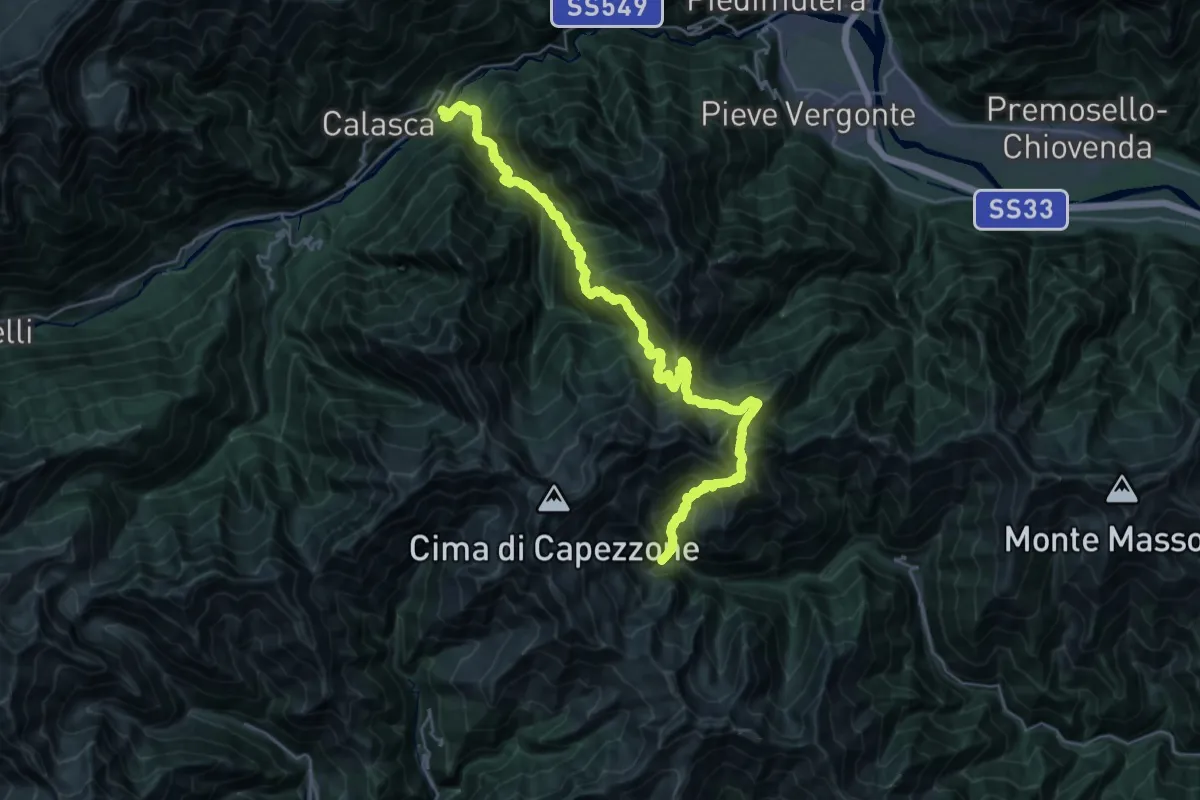
Demanding · Trail
Via Alpina Blue D11
15.9 km · ↑ 1198 m · 7 h 1 min · 15 km away
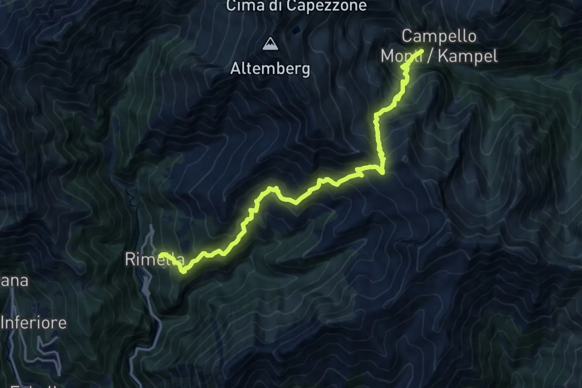
Demanding · Trail
Rimella – Campello Monti
15.5 km · ↑ 1661 m · 7 h 16 min · 15 km away
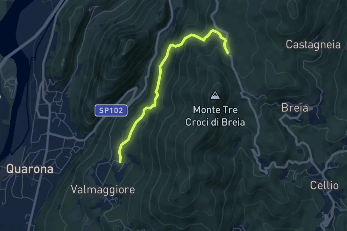
Medium · Trail
Sentiero Roberto Carmagnola
5.4 km · ↑ 384 m · 2 h 6 min · 15 km away
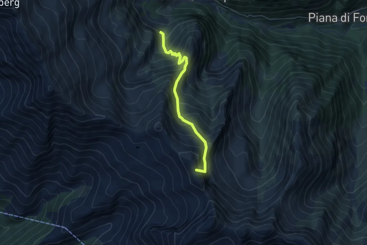
Expert · Summit
Z15a - Alpe del Vecchio - Passo del Crac
4.9 km · ↑ 592 m · 2 h 27 min · 15 km away
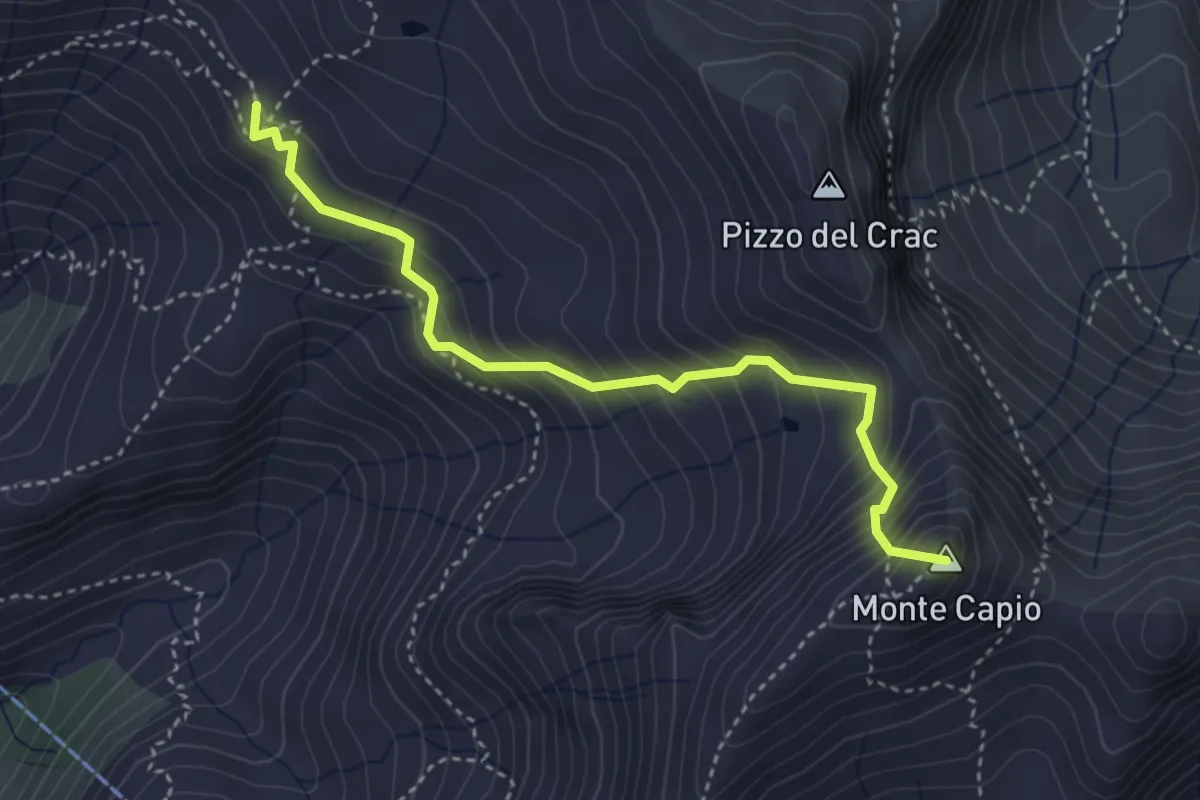
Expert · Summit
Alpe Pianello – Monte Capio
3.8 km · ↑ 463 m · 1 h 54 min · 15 km away
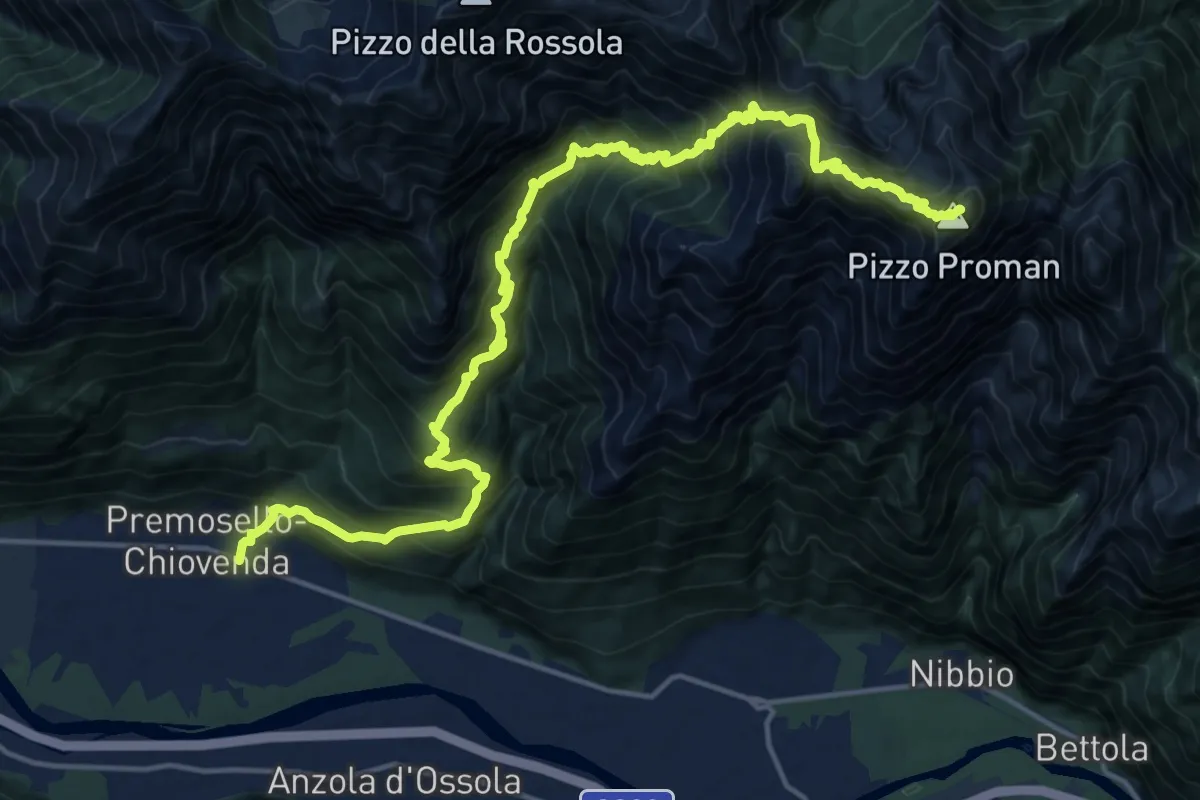
Demanding · Summit
A40 - Premosello - Pizzo Proman
20.7 km · ↑ 2231 m · 9 h 44 min · 15 km away