Trails near Ospitaletto
140 hikes starting within 15 km, nearest first.
Nearest first, page 2 of 3
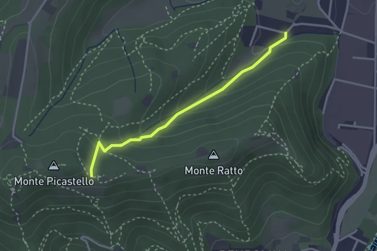
Easy · Trail
Collebeato (Campo de Carlì) – Innesto Sentiero 217
2.5 km · ↑ 158 m · 56 min · 11 km away
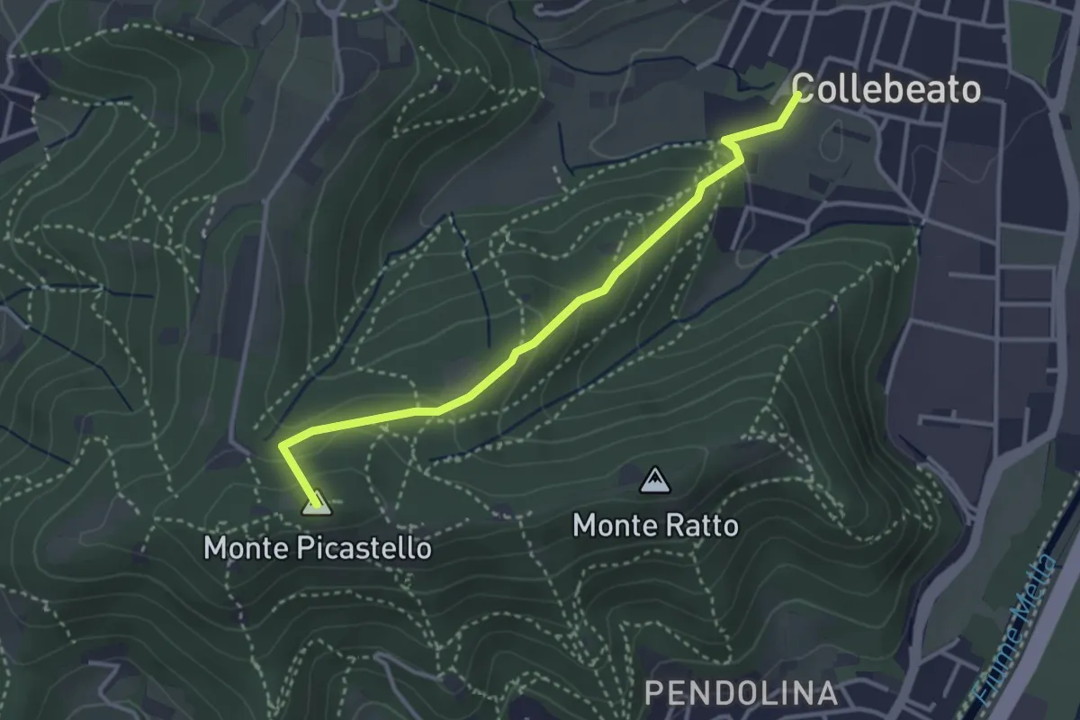
Medium · Summit
Collebeato (Via Angolo di Sotto) – Campiani (Il Merlo)
3.3 km · ↑ 178 m · 1 h 10 min · 11 km away
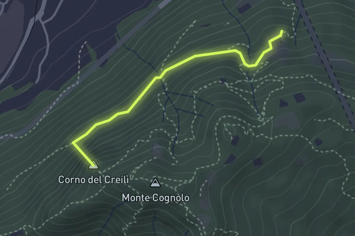
Easy · Summit
Senterù - Sentiero delle Terre Rosse
2.9 km · ↑ 284 m · 1 h 18 min · 11 km away
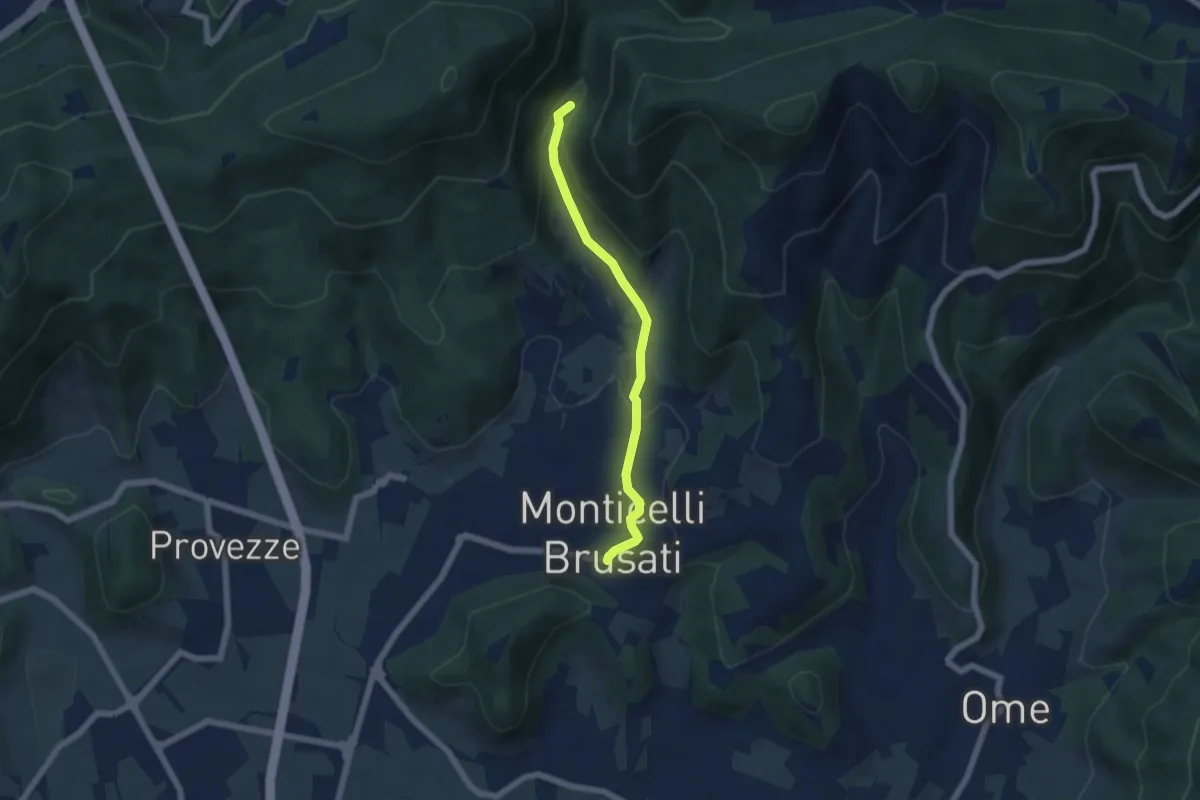
Easy · Trail
Sentiero delle Cascate (Percorso Principale)
5.2 km · ↑ 150 m · 1 h 34 min · 11 km away
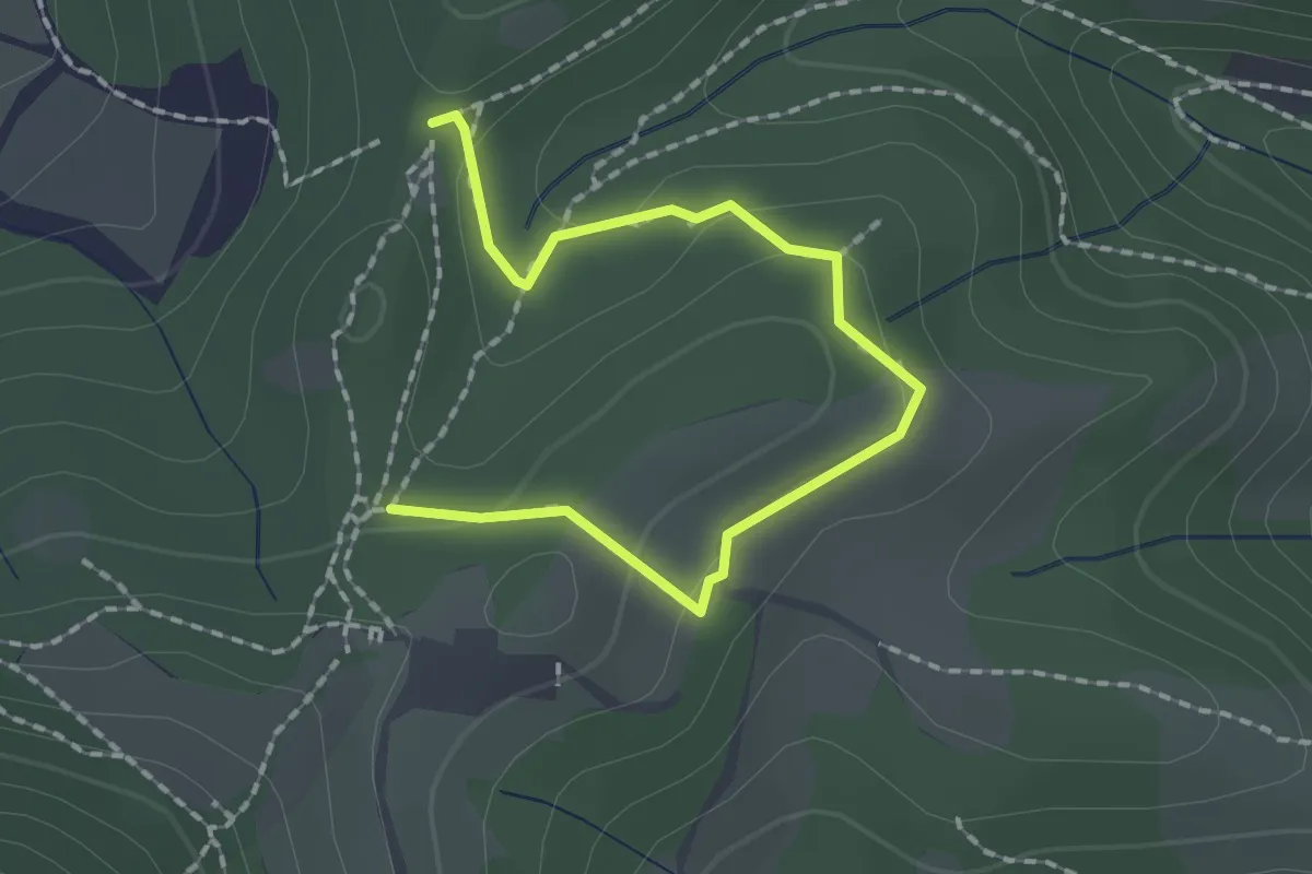
Medium · Trail
Collebeato (Roccolo Polonioli) – Sella del Madì (Innesto Sentiero 248)
2.1 km · ↑ 64 m · 38 min · 11 km away
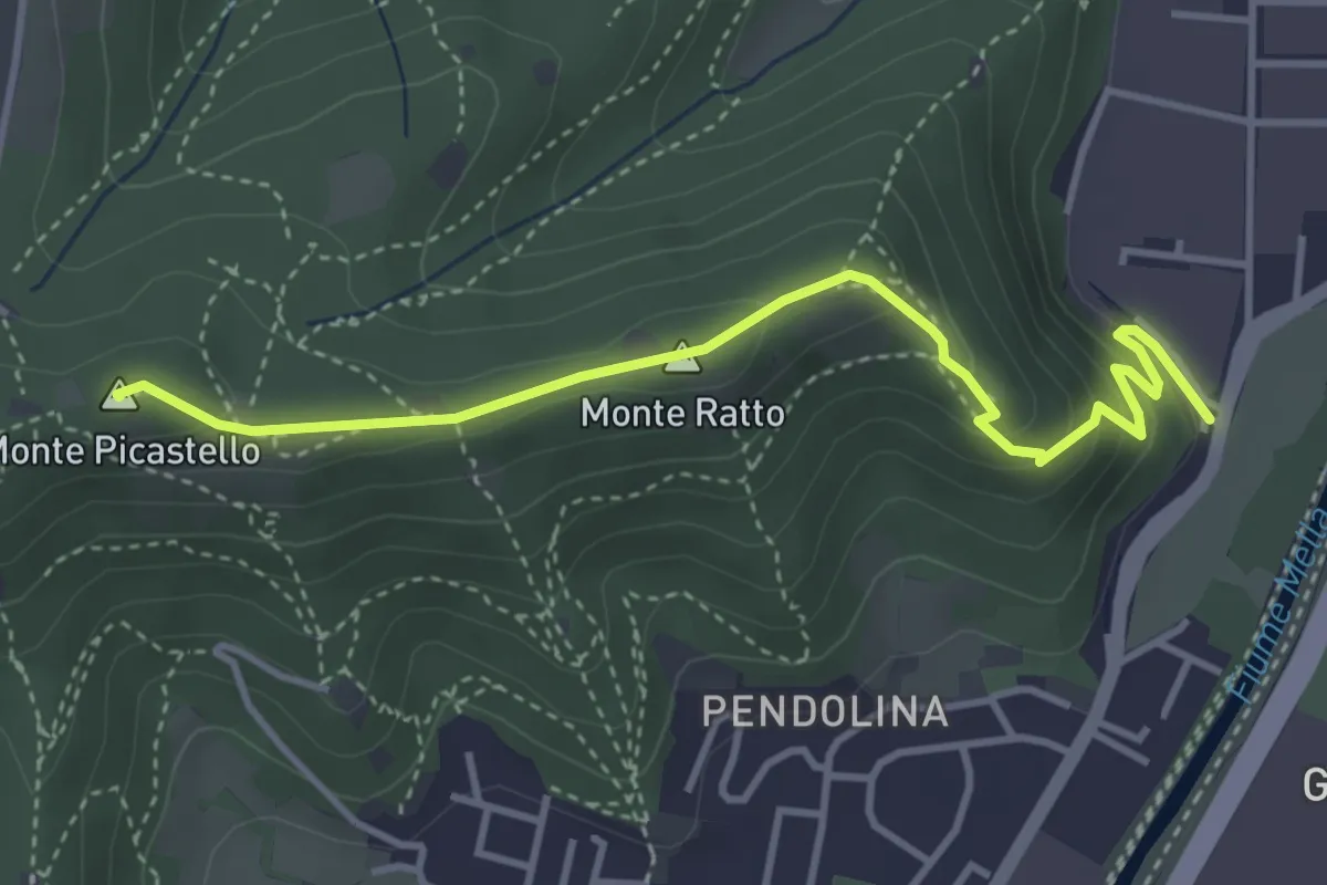
Medium · Summit
Collebeato (Via Roma) – Monte Picastello
4.1 km · ↑ 191 m · 1 h 24 min · 11 km away
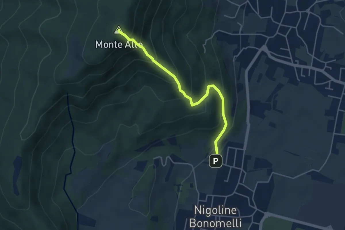
Medium · Summit
Sentiero della Scala Santa
3.7 km · ↑ 398 m · 1 h 44 min · 11 km away
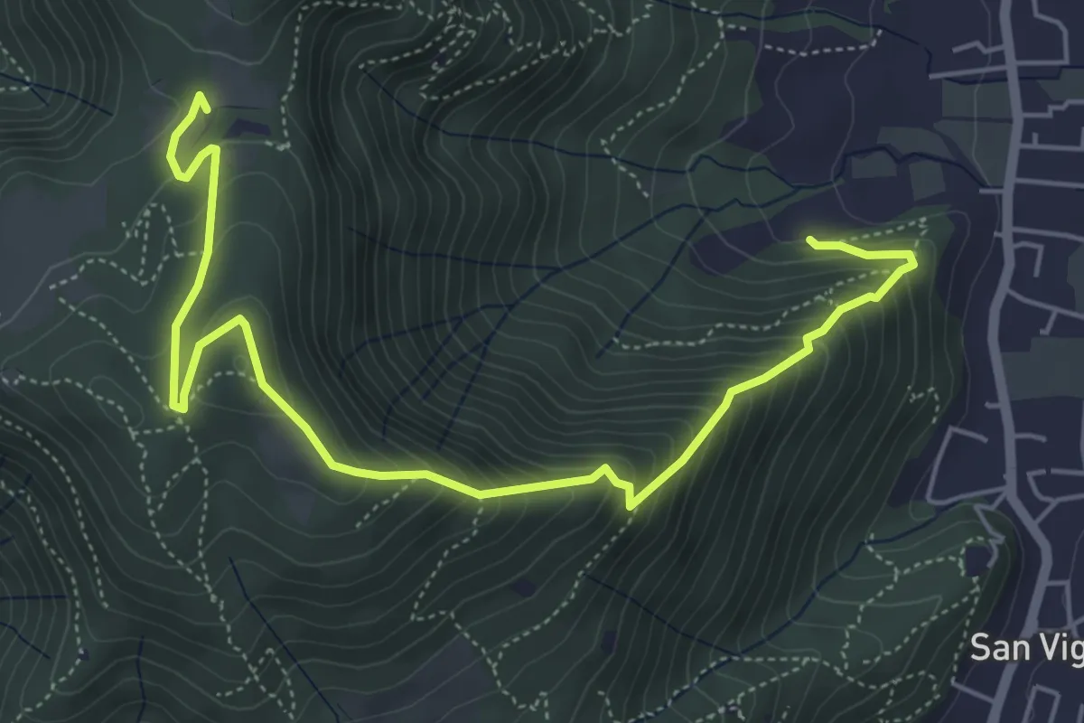
Medium · Trail
Concesio (Via Mandò) - Costa - Quarone di Sopra
6.6 km · ↑ 592 m · 2 h 50 min · 11 km away
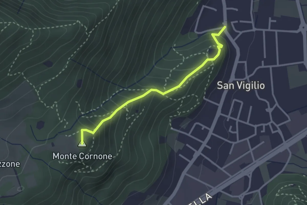
Medium · Summit
Concesio (San Vigilio) - Quarone di Sopra
2.6 km · ↑ 259 m · 1 h 11 min · 11 km away
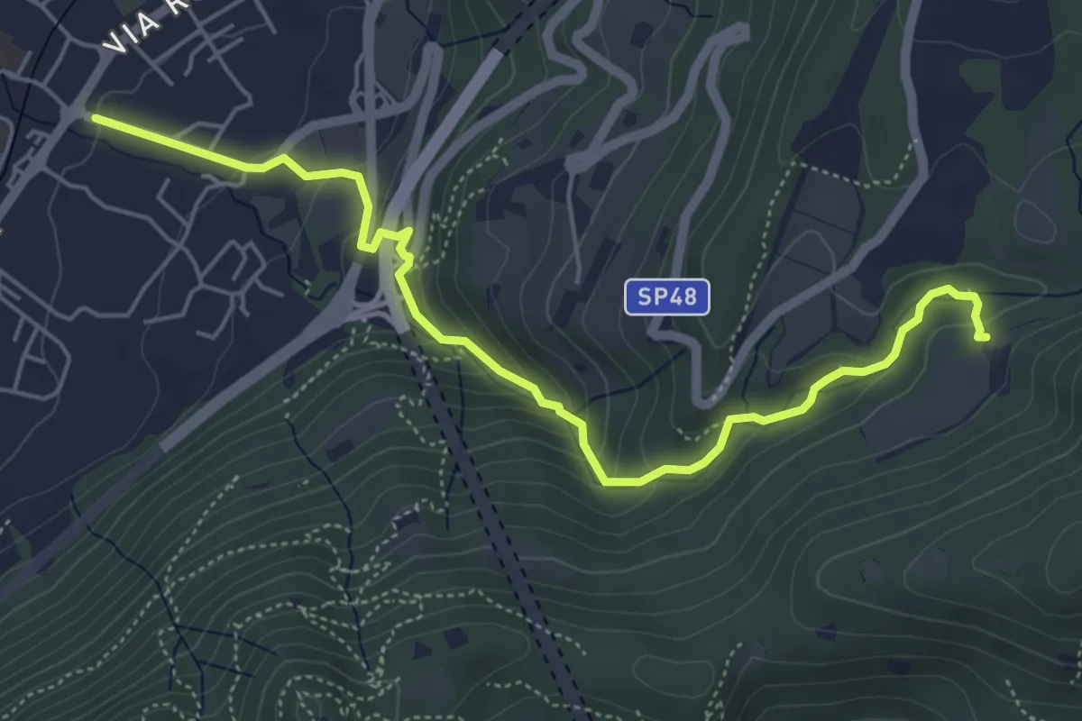
Medium · Trail
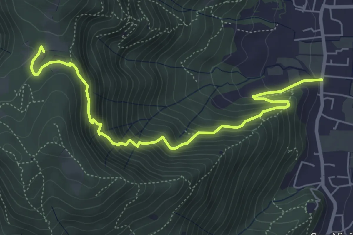
Sentér del Gat
5.9 km · ↑ 306 m · 2 h 4 min · 11 km away
Medium · Trail
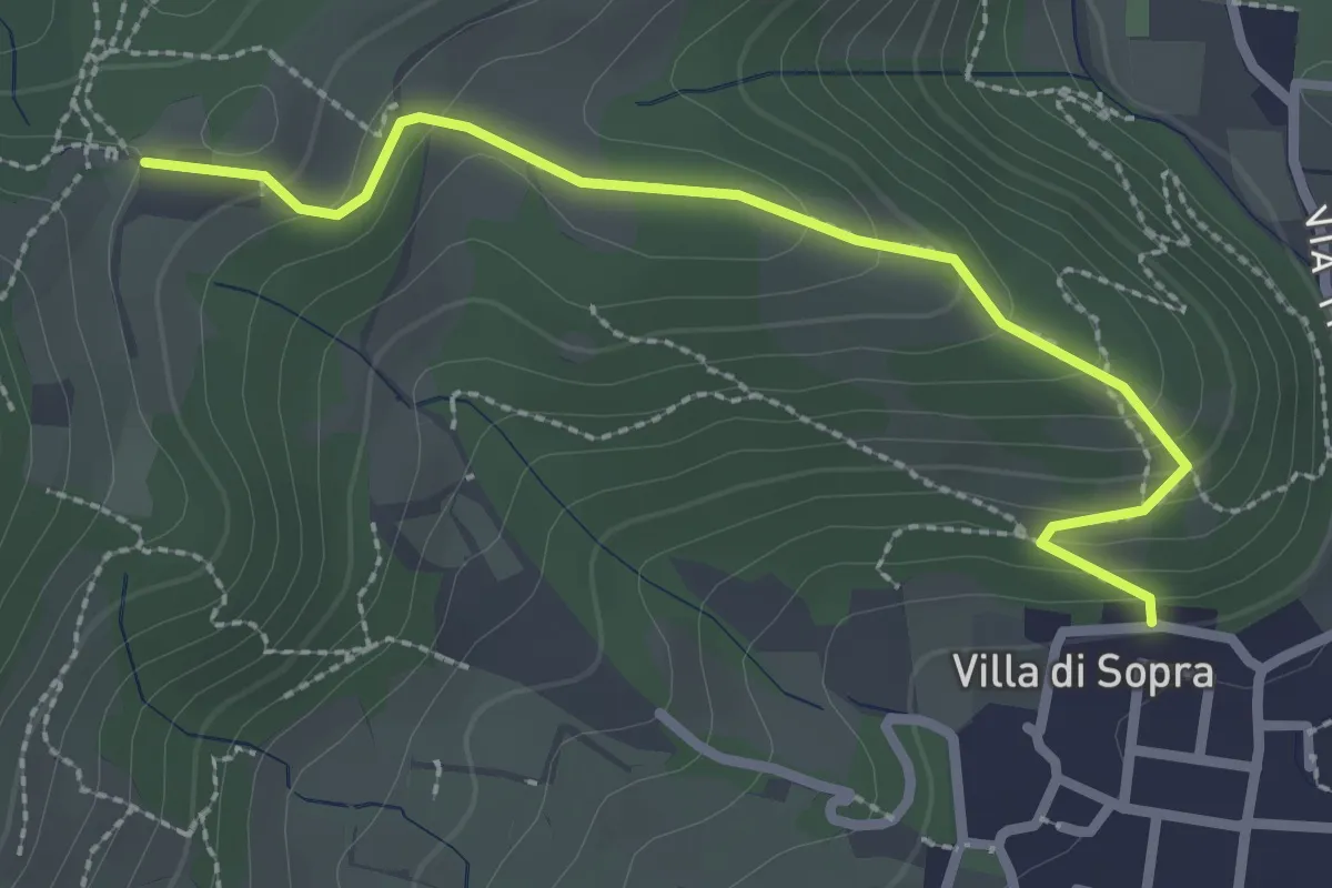
Concesio (Via Mandò) - Quarone di Sopra
6.2 km · ↑ 571 m · 2 h 42 min · 12 km away
Medium · Trail
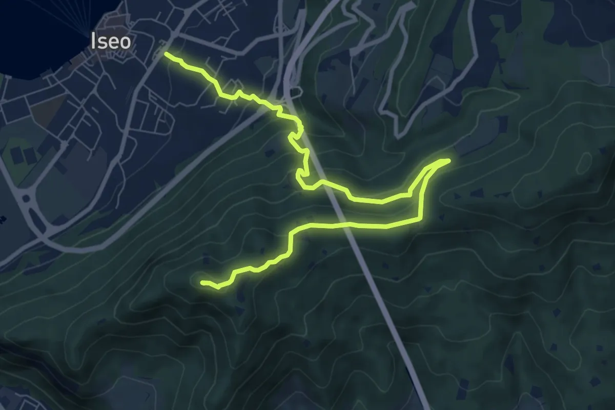
Collebeato (Villa Sopra) – Ex Convento di Santo Stefano
2.7 km · ↑ 146 m · 58 min · 12 km away
Medium · Summit
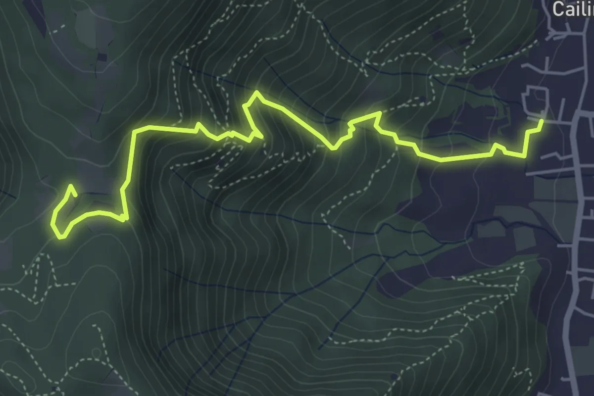
Giro delle Culme
9.9 km · ↑ 516 m · 3 h 28 min · 12 km away
Medium · Trail
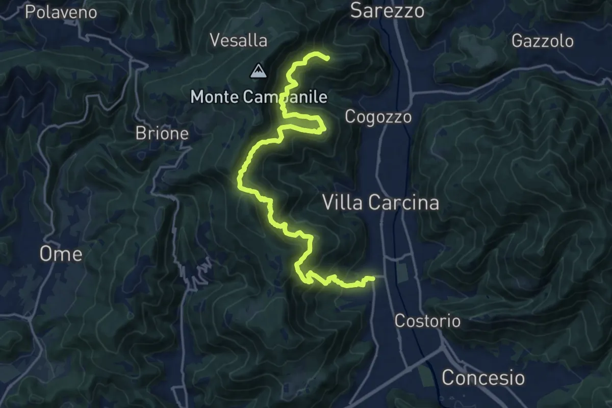
Villa Carcina (Cailina) – Quarone
5.7 km · ↑ 534 m · 2 h 30 min · 12 km away
Demanding · Summit
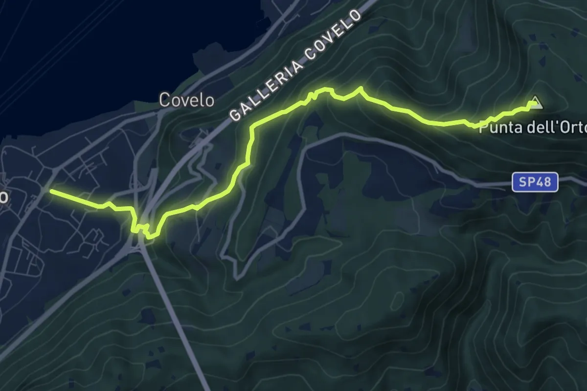
Sentiero n° 1
19.4 km · ↑ 1506 m · 7 h 50 min · 12 km away
Medium · Summit
Iseo – Punta dell'Orto
9.6 km · ↑ 800 m · 4 h · 12 km away
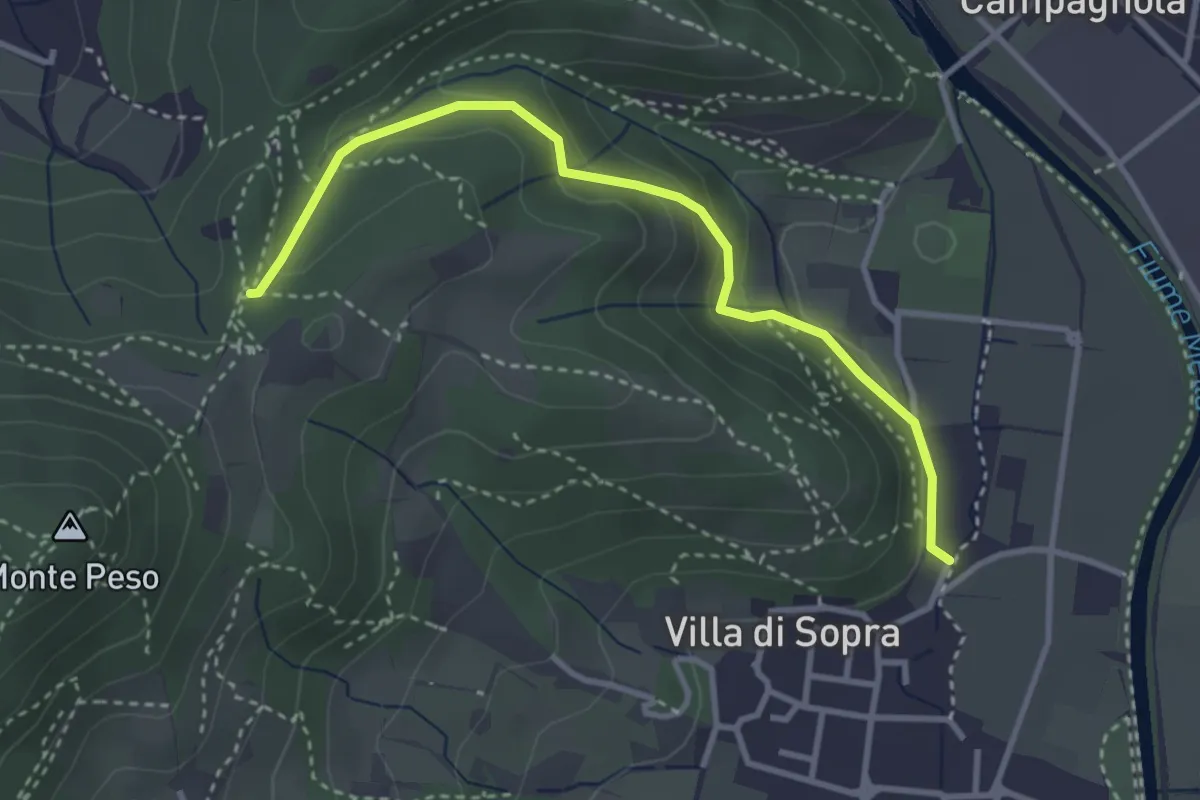
Medium · Trail
Collebeato (La Noia) – Sella del Madì (Innesto Sentiero 247)
3.5 km · ↑ 192 m · 1 h 15 min · 12 km away
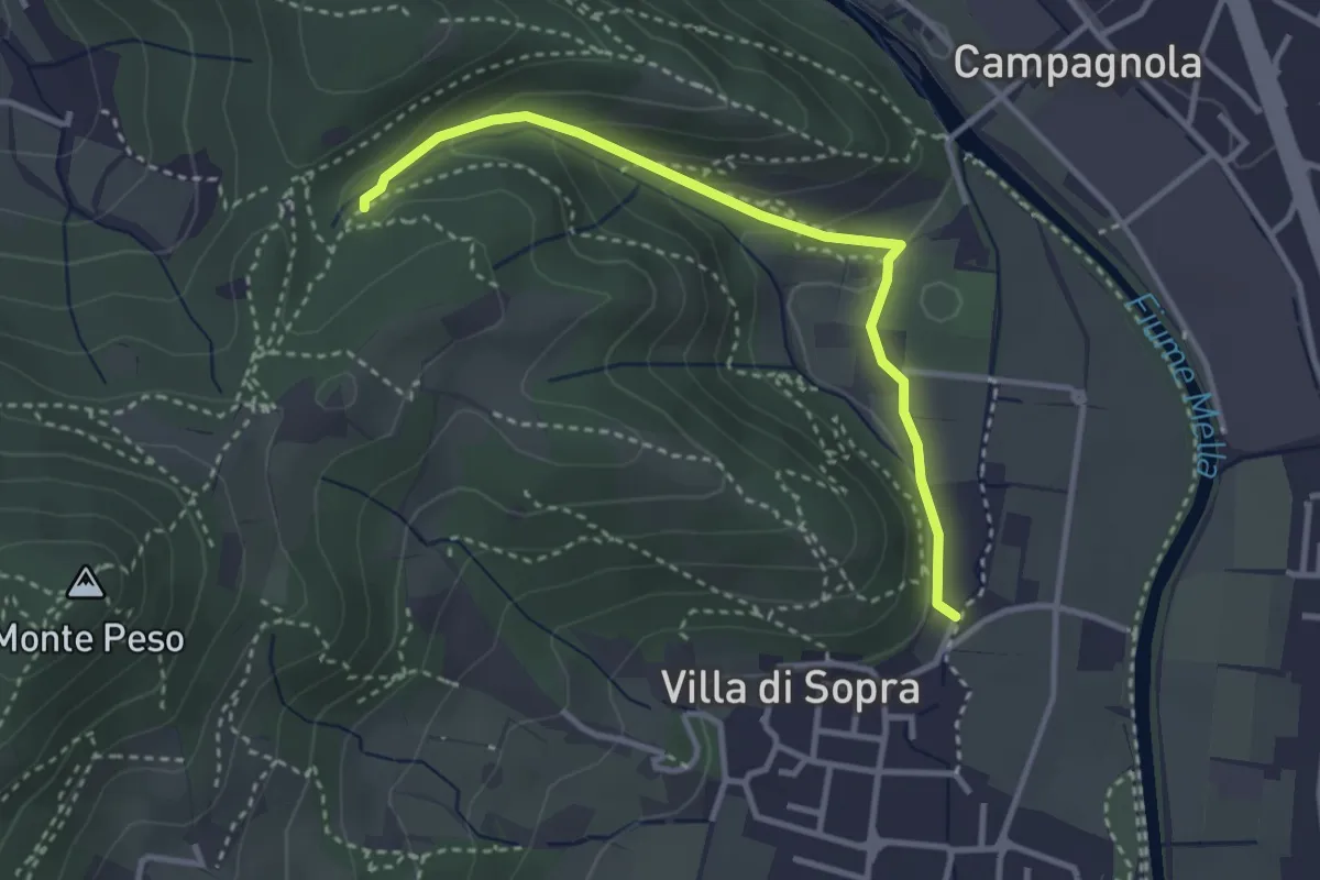
Medium · Trail
Collebeato (La Noia) – Monte Zuccolotto (Innesto Sentiero 248)
3.3 km · ↑ 135 m · 1 h 4 min · 12 km away
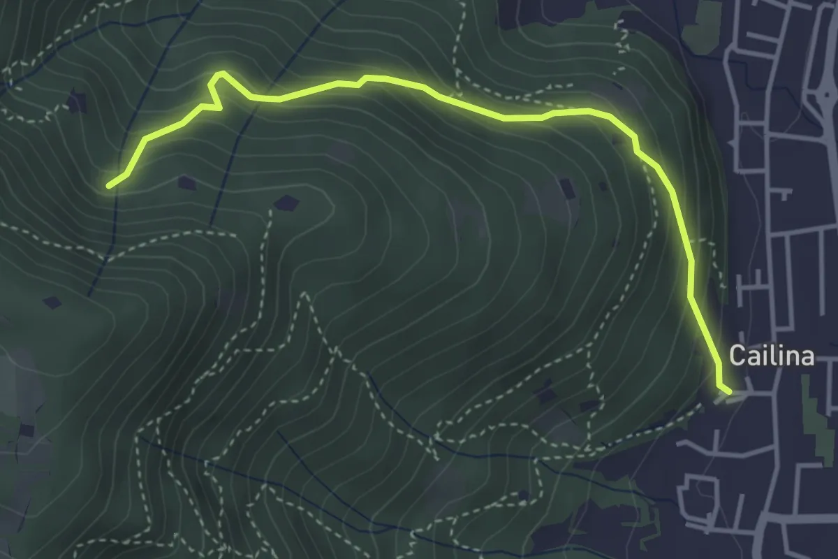
Medium · Trail
Villa Carcina (Cailina) – Roccolo del Prete
4.0 km · ↑ 379 m · 1 h 45 min · 12 km away
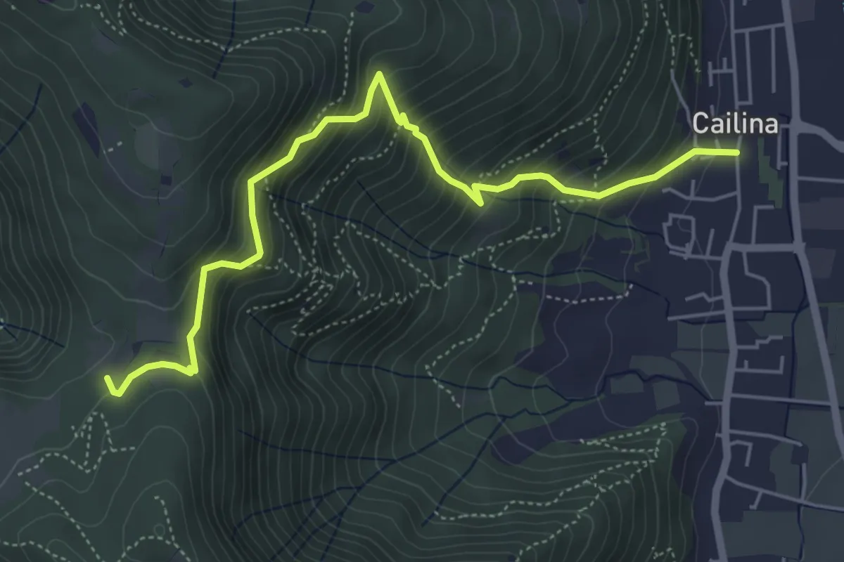
Medium · Trail
Villa Carcina (Cailina) – Quarone
5.8 km · ↑ 607 m · 2 h 42 min · 12 km away
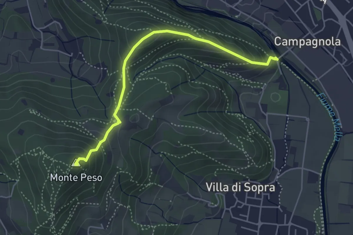
Demanding · Summit
Collebeato (Le Bocche) – Monte Peso
4.4 km · ↑ 346 m · 1 h 48 min · 12 km away
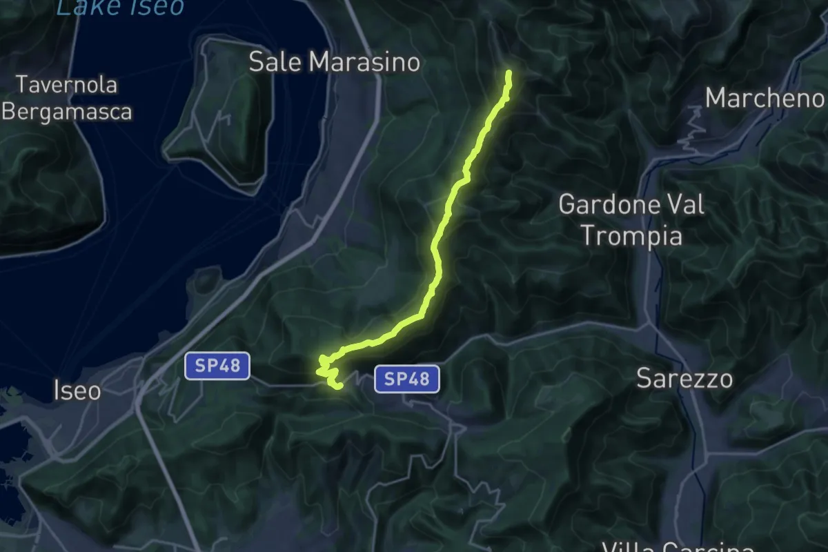
Demanding · Summit
Sentiero 3V - Tappa 7
17.5 km · ↑ 1361 m · 7 h 5 min · 12 km away
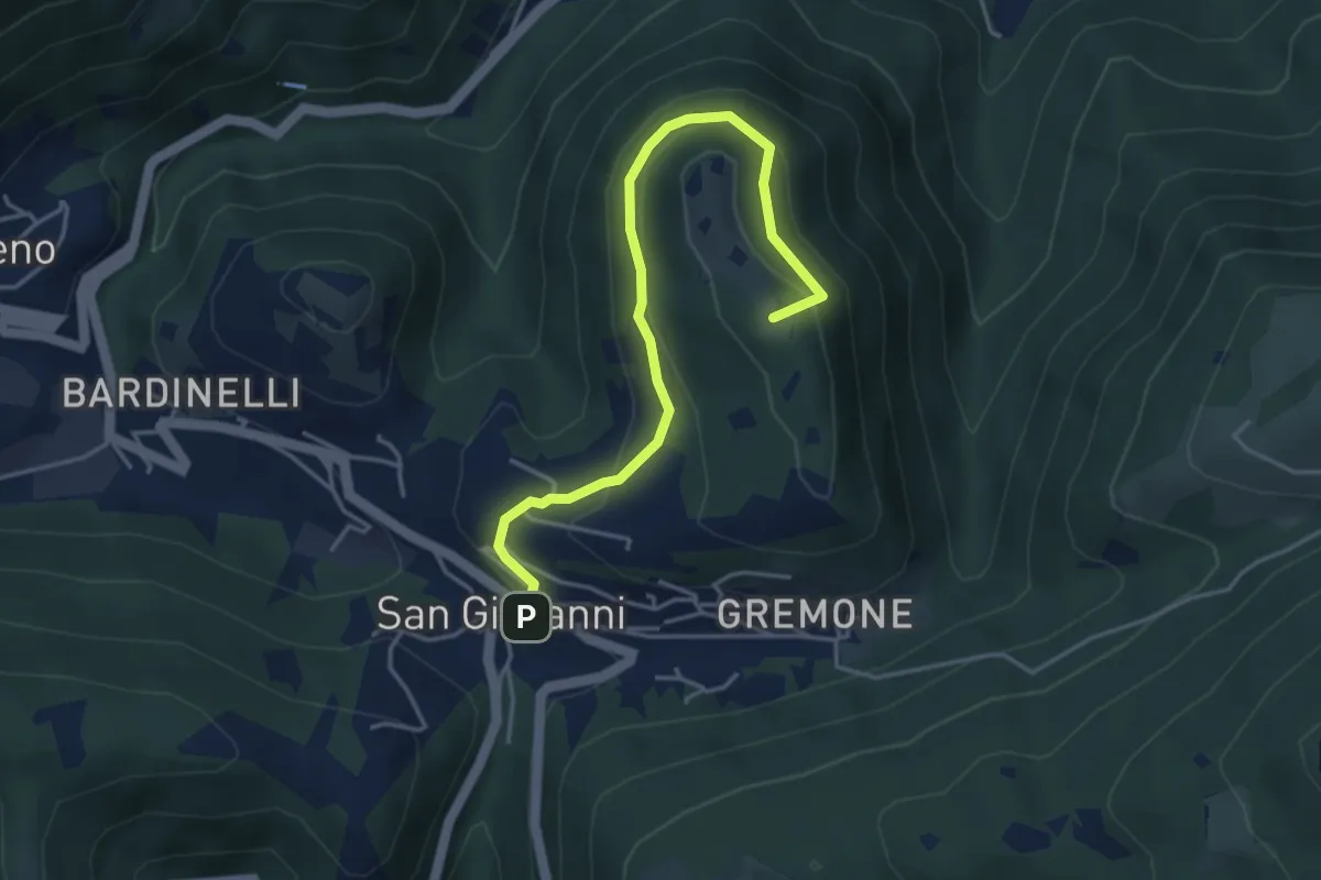
Demanding · Summit
Sentiero della Pugna
4.4 km · ↑ 219 m · 1 h 30 min · 12 km away
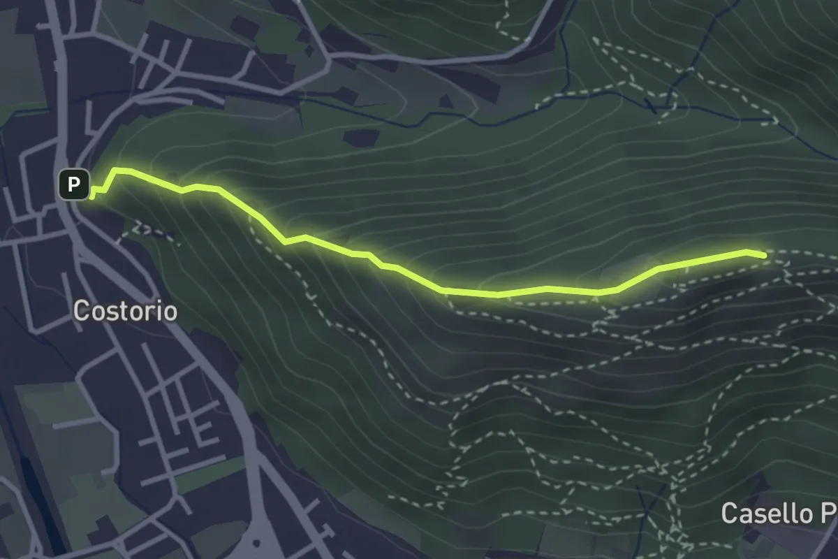
Medium · Summit
Concesio (Costorio) - Grassi Carpini
3.0 km · ↑ 329 m · 1 h 25 min · 12 km away
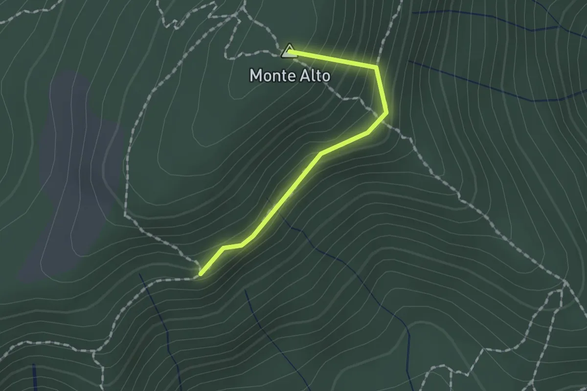
Easy · Summit
Sentiero Traversante
1.3 km · ↑ 126 m · 35 min · 12 km away
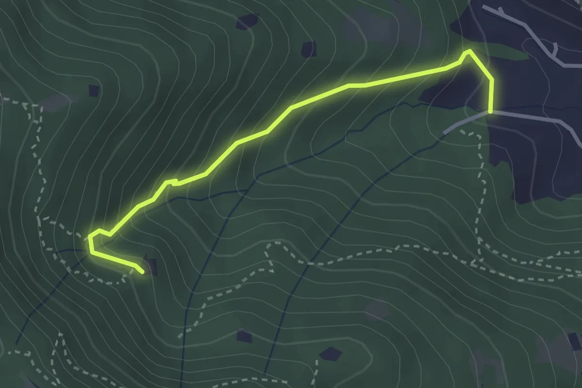
Medium · Trail
Villa Carcina (Villa) - Roccolo del Prete
2.9 km · ↑ 320 m · 1 h 23 min · 12 km away
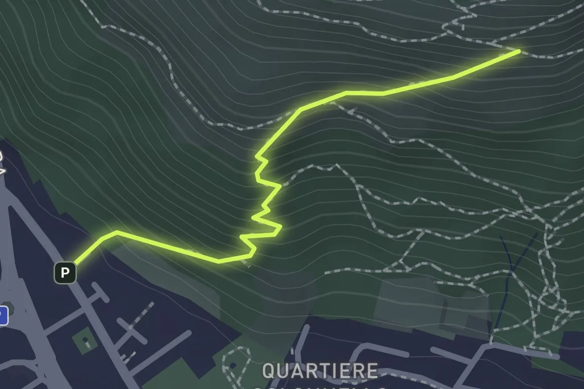
Medium · Cabin
Concesio (Vicolo Verdura) - Monte Verdura (Innesto Sentiero da Pieve)
2.1 km · ↑ 271 m · 1 h 5 min · 12 km away
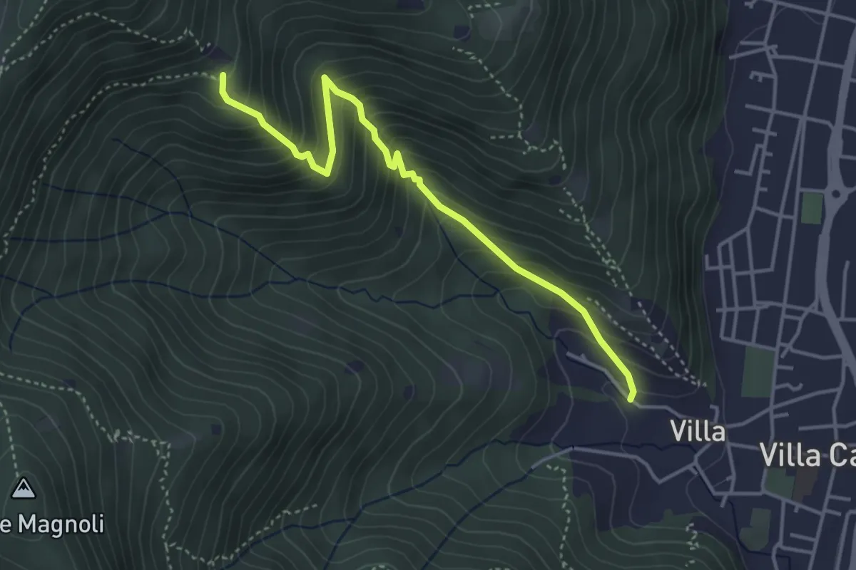
Medium · Trail
Villa Carcina (Villa) - Büs del Torcol
4.2 km · ↑ 438 m · 1 h 56 min · 12 km away
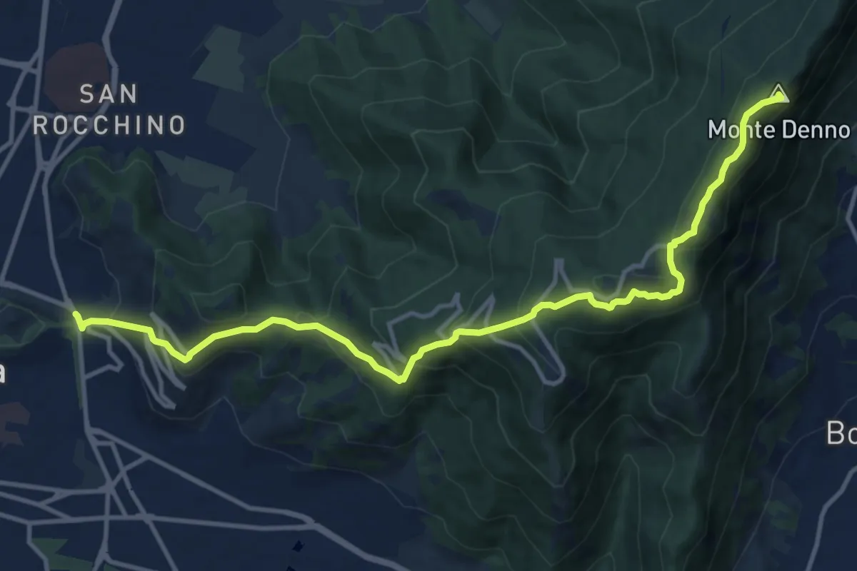
Medium · Summit
Sentiero 3V - Tappa 1a
13.1 km · ↑ 743 m · 4 h 42 min · 12 km away
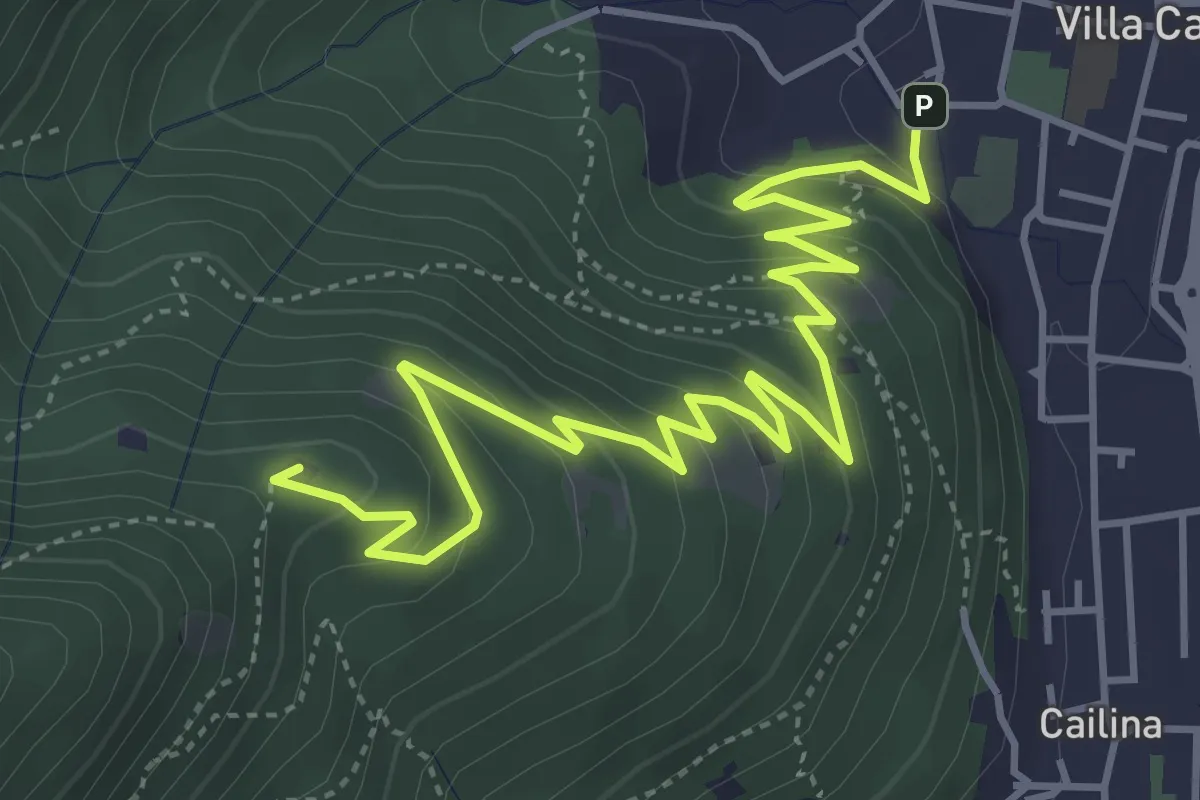
Medium · Summit
Villa Carcina – Sella dell'Oca
6.1 km · ↑ 364 m · 2 h 14 min · 12 km away
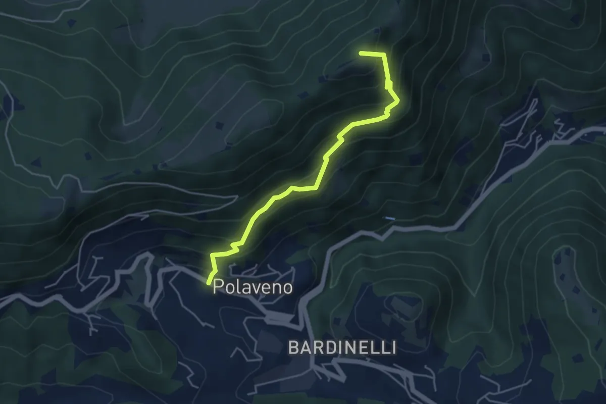
Medium · Summit
Polaveno - Santa Maria del Giogo
4.2 km · ↑ 463 m · 2 h · 12 km away
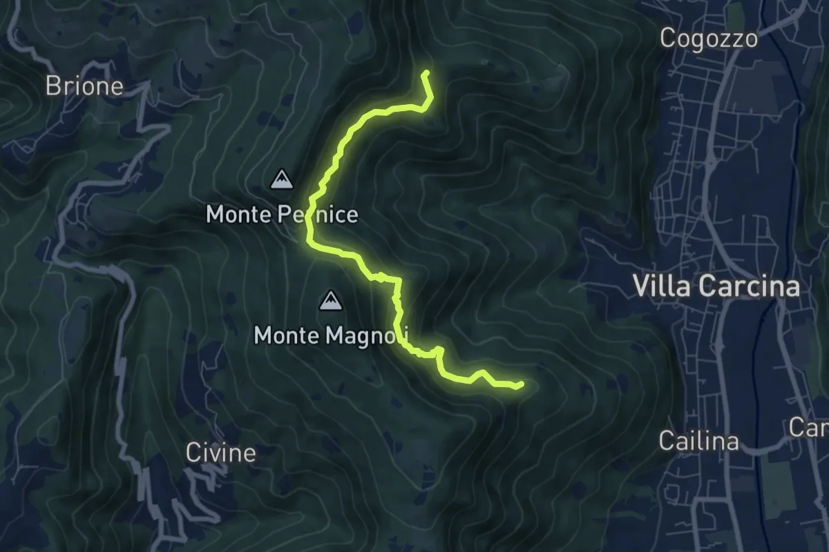
Medium · Summit
Sentiero Alberto Antonelli
7.0 km · ↑ 463 m · 2 h 40 min · 12 km away
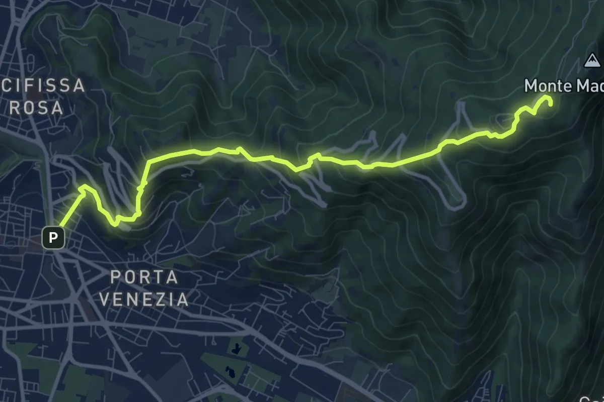
Medium · Trail
Brescia (Via Filippo Turati) – Chiesetta Monte Maddalena
10.7 km · ↑ 699 m · 4 h 2 min · 12 km away
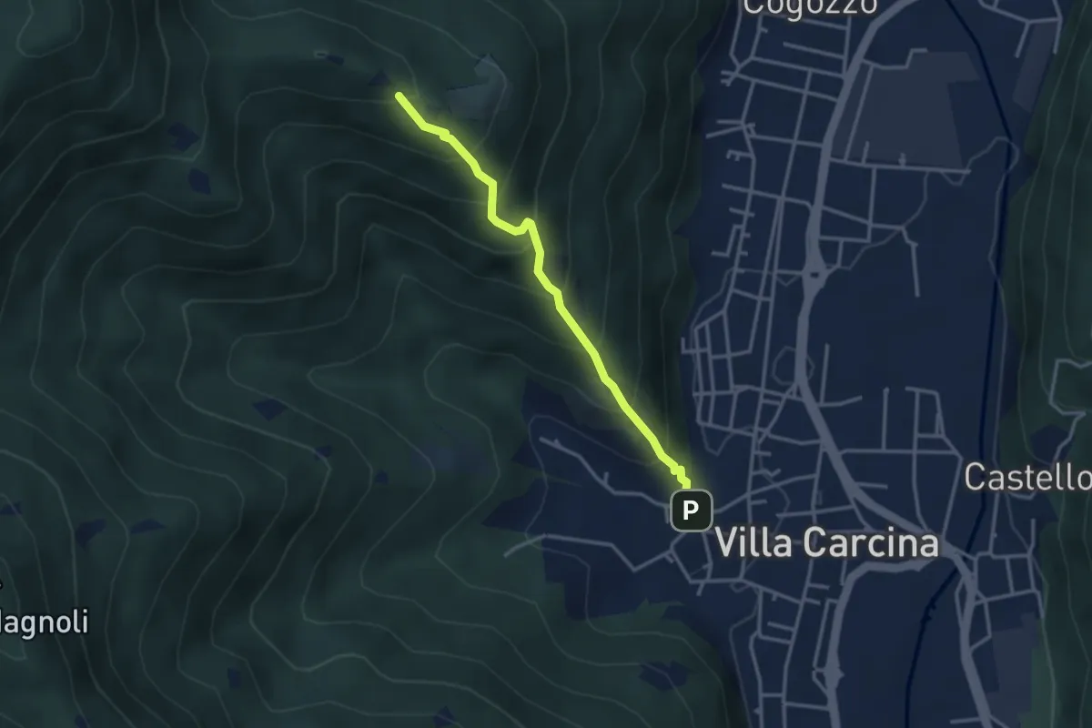
Medium · Trail
Villa Carcina - Campo Lupo
3.1 km · ↑ 389 m · 1 h 34 min · 12 km away
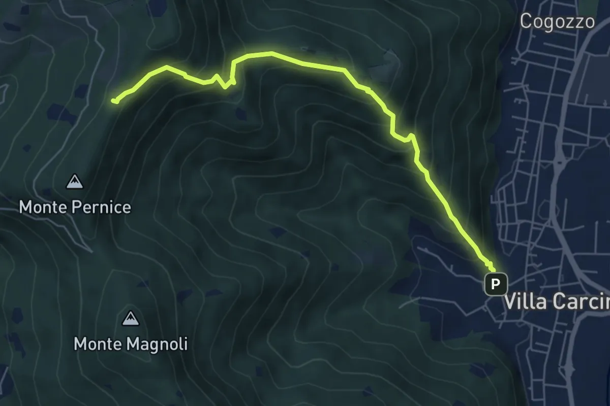
Medium · Trail
Sentiero Domenico Cancarini e Antonio Giubileo
6.1 km · ↑ 617 m · 2 h 46 min · 12 km away
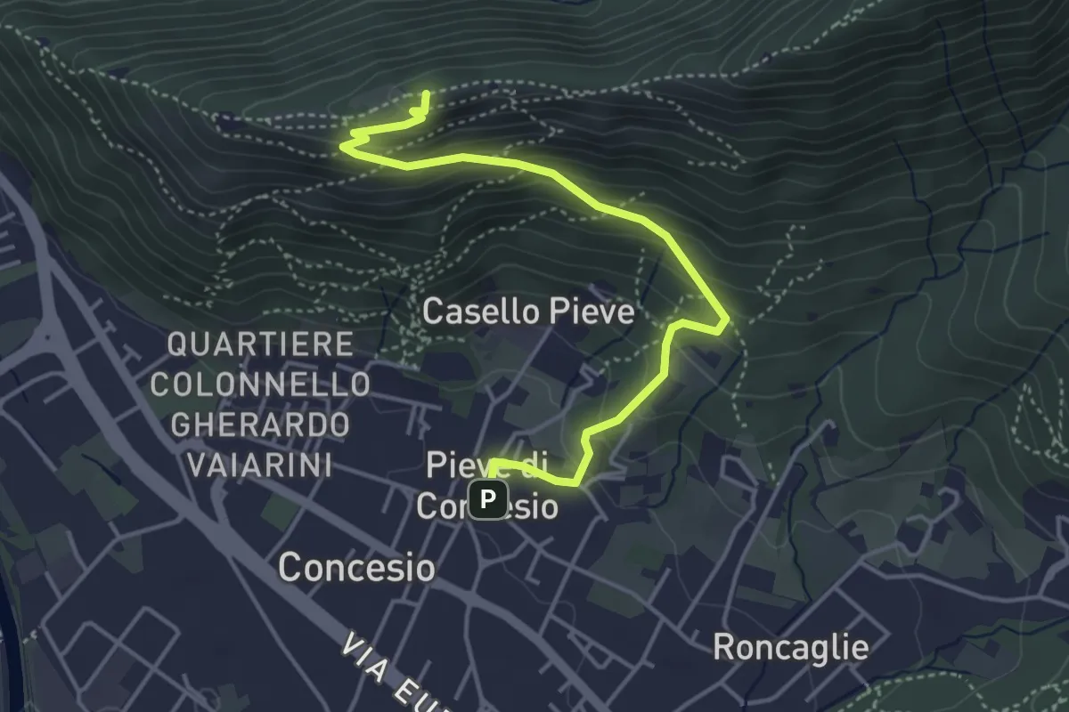
Medium · Cabin
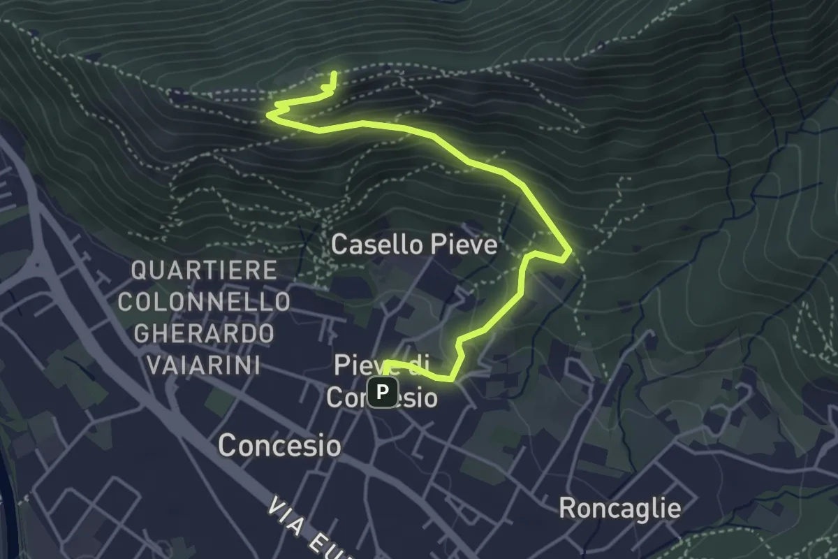
Concesio (Pieve) - Monte Verdura
4.4 km · ↑ 333 m · 1 h 46 min · 13 km away
Medium · Cabin
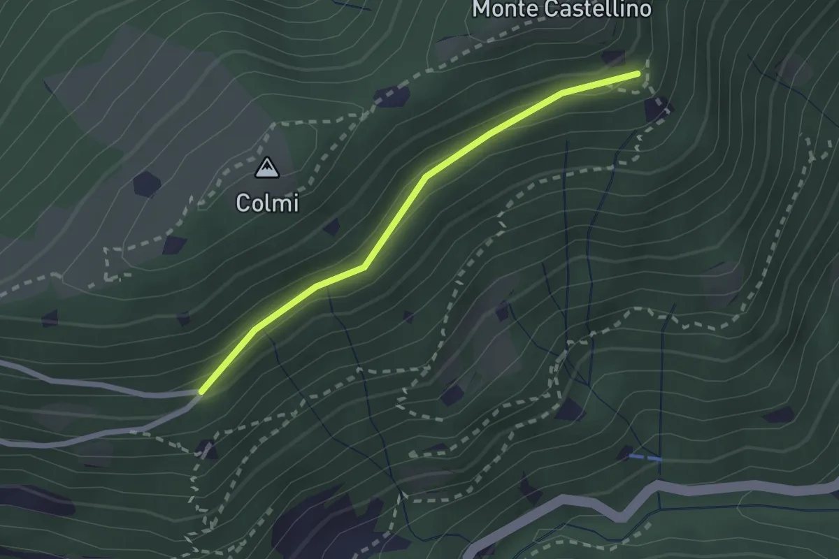
Concesio (Pieve) – Monte Verdura
4.4 km · ↑ 333 m · 1 h 46 min · 13 km away
Easy · Trail
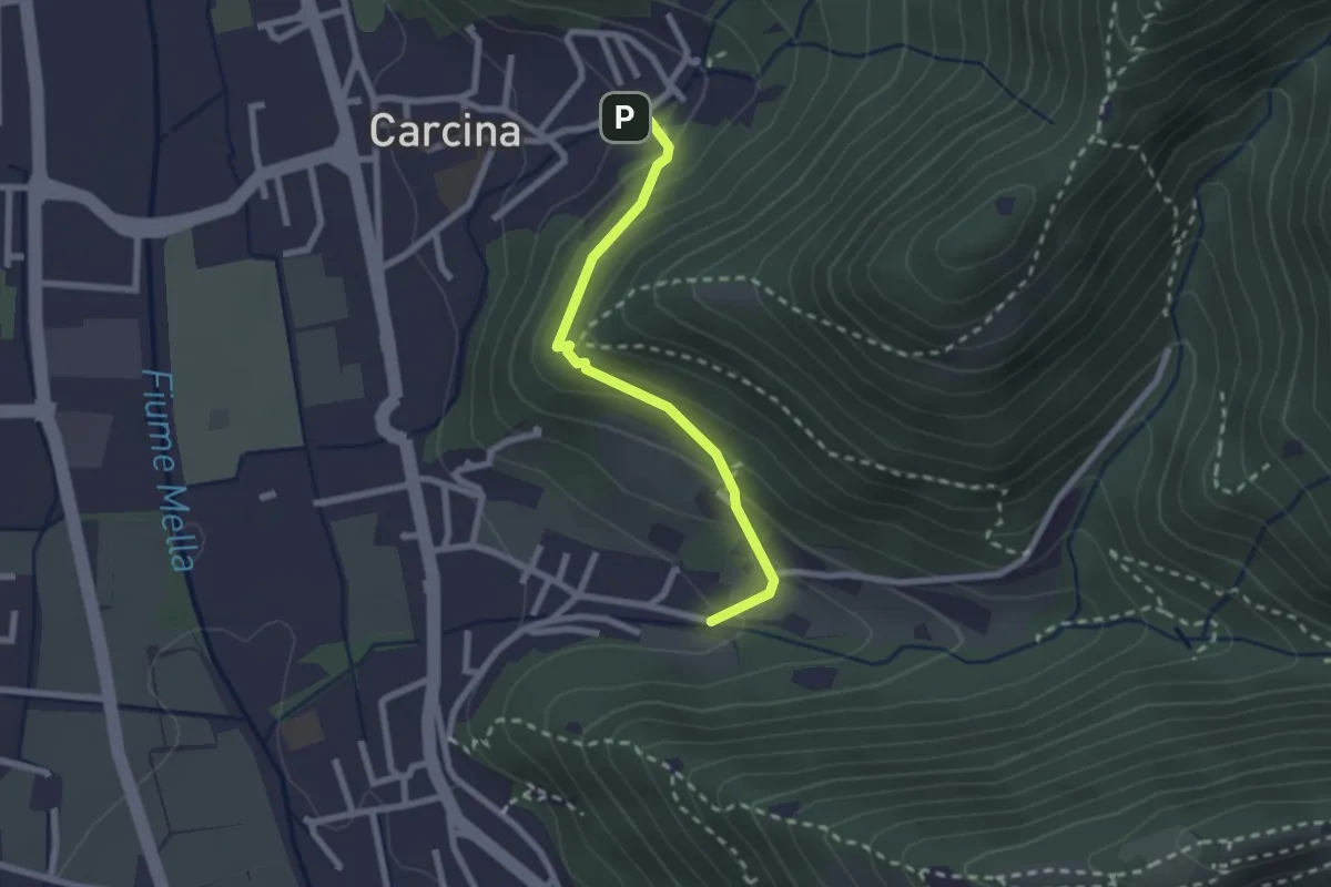
Sentiero 310 - Variante 310A
2.0 km · ↑ 104 m · 42 min · 13 km away
Easy · Trail
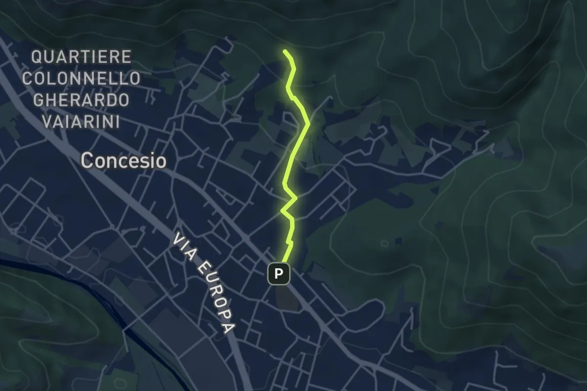
Villa Carcina (Carcina) - Costorio
2.2 km · ↑ 126 m · 48 min · 13 km away
Easy · Trail
Concesio (Sant'Andrea) - Monte Verdura (Innesto Sentiero da Pieve)
2.6 km · ↑ 114 m · 52 min · 13 km away
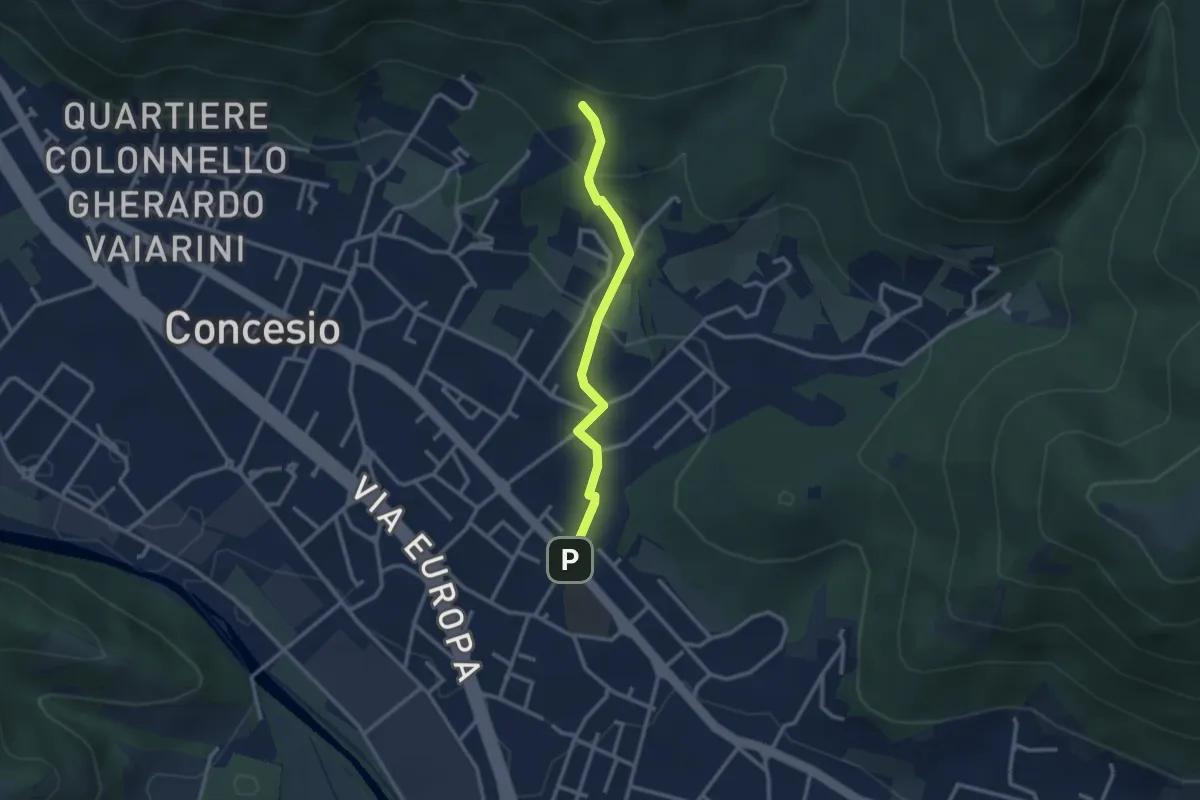
Easy · Trail
Concesio (Sant'Andrea) - Monte Verdura (Innesto Sentiero G)
2.6 km · ↑ 114 m · 52 min · 13 km away
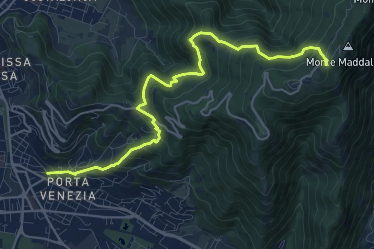
Demanding · Trail
Brescia (Via Amba d'Oro) – Monte Maddalena (Piazzale Ristorante Grillo)
12.1 km · ↑ 852 m · 4 h 42 min · 13 km away
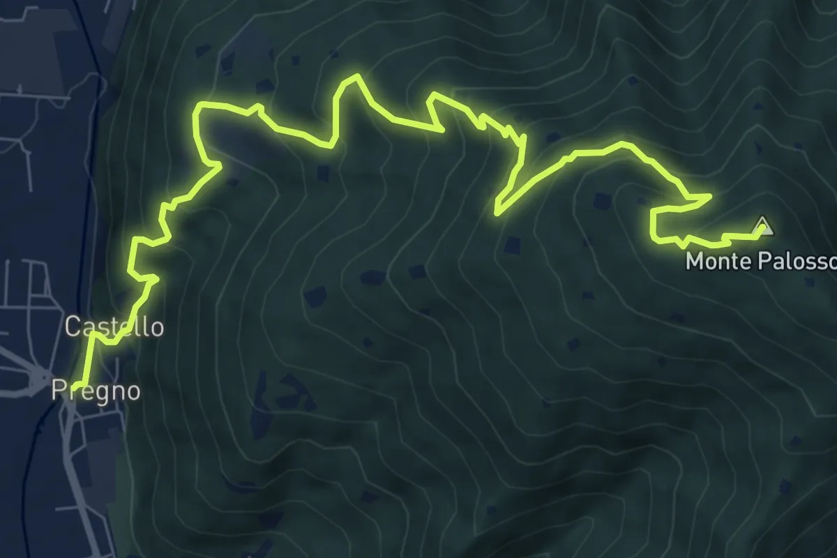
Demanding · Summit
Villa Carcina (Pregno) – Monte Palosso
11.1 km · ↑ 912 m · 4 h 36 min · 13 km away
Medium · Trail
Sentiero 1 - Variante 1D
2.0 km · ↑ 239 m · 59 min · 13 km away
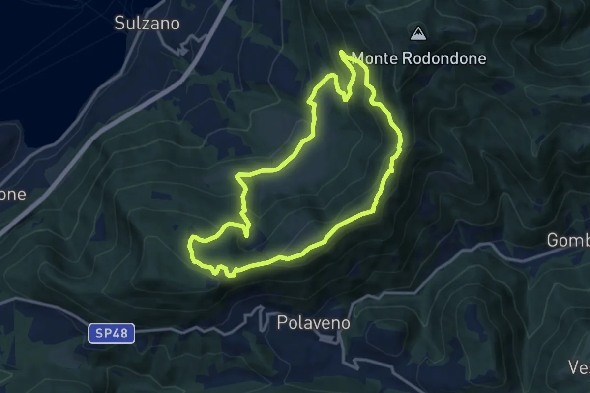
Medium · Summit
Sentiero degli Elfi
8.9 km · ↑ 450 m · 3 h 12 min · 13 km away
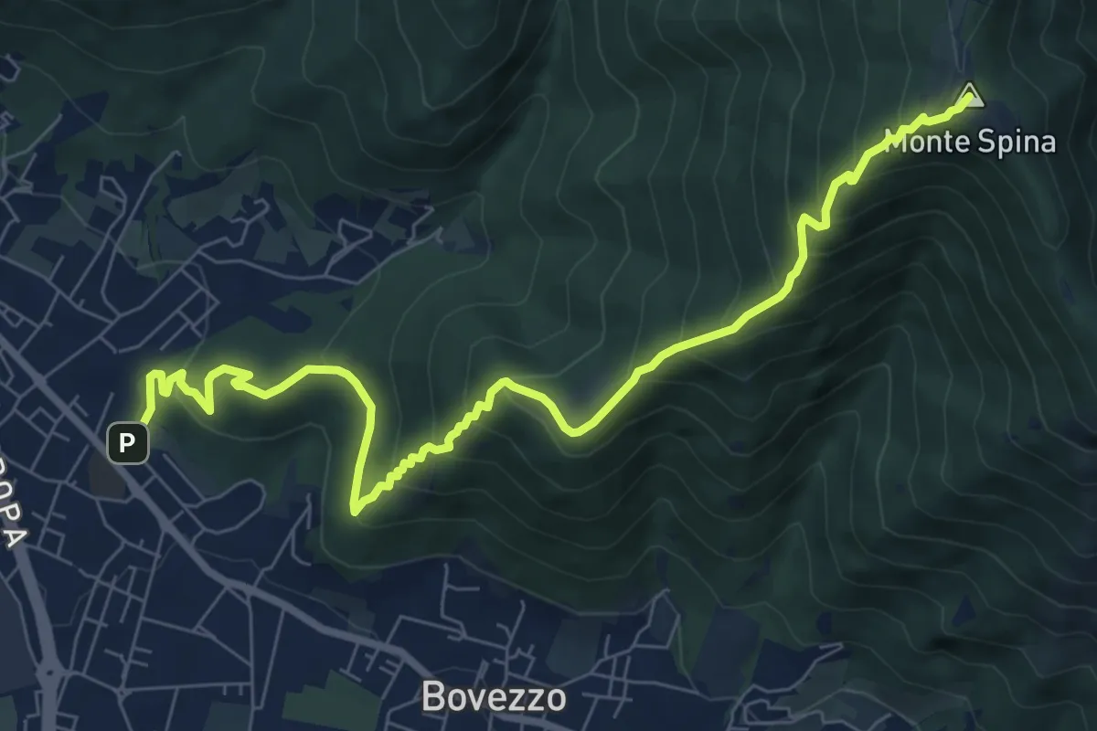
Medium · Summit
Concesio (Sant'Andrea) - Sant'Onofrio
9.4 km · ↑ 736 m · 3 h 48 min · 13 km away
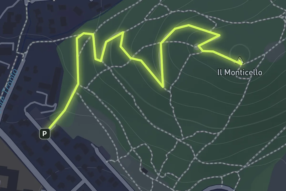
Easy · Summit
Concesio (Monticello) - Sentiero 1
2.0 km · ↑ 76 m · 38 min · 13 km away
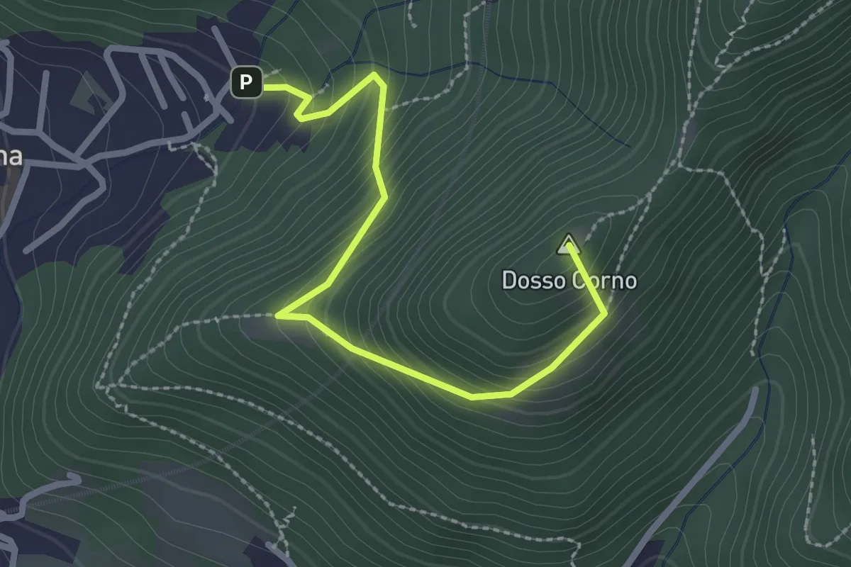
Medium · Summit
Villa Carcina (Caricatore) – Crusal
2.7 km · ↑ 292 m · 1 h 16 min · 13 km away