Trails near Ospitaletto
140 hikes starting within 15 km, nearest first.
Nearest first, page 3 of 3
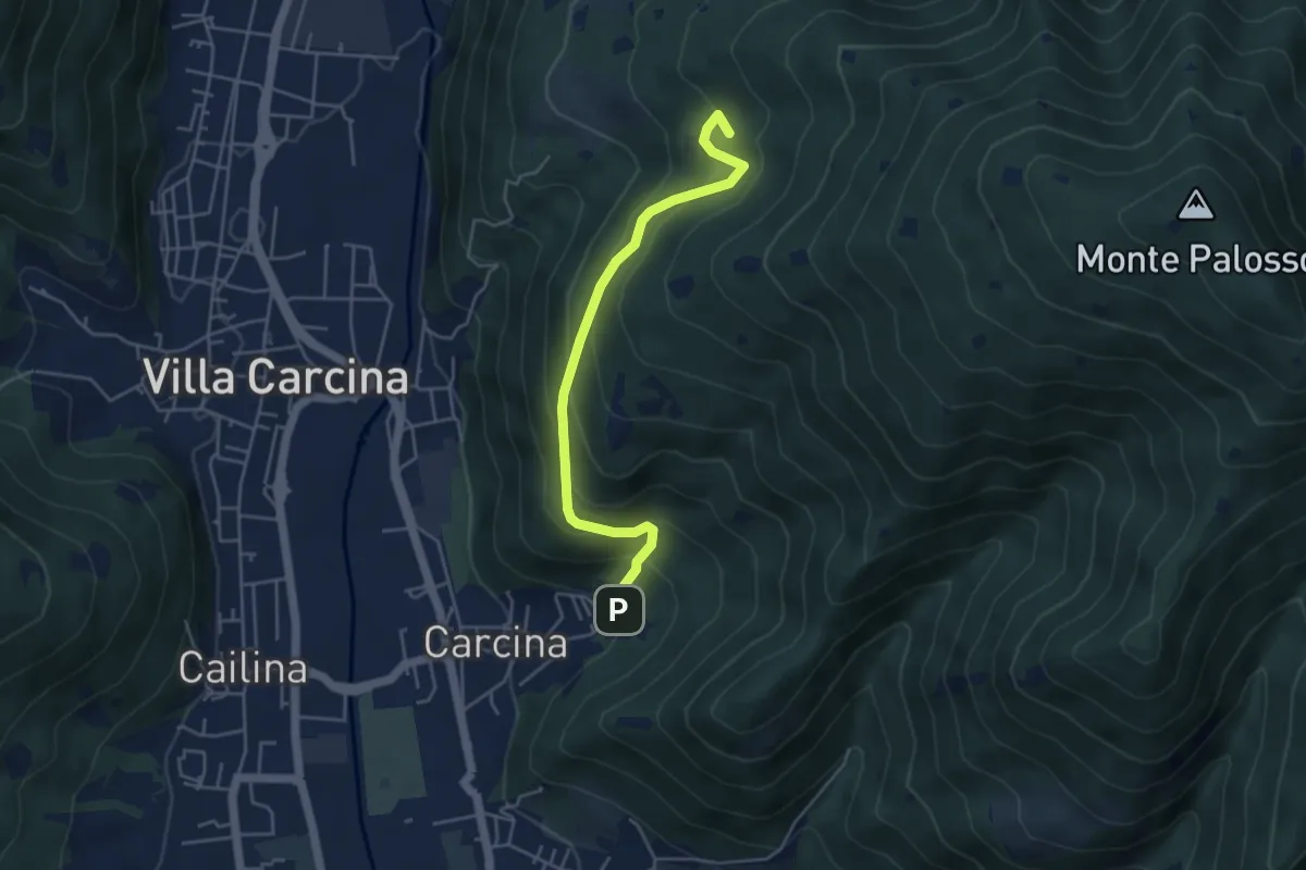
Medium · Summit
Villa Carcina - Sentiero 17
4.5 km · ↑ 395 m · 1 h 56 min · 13 km away
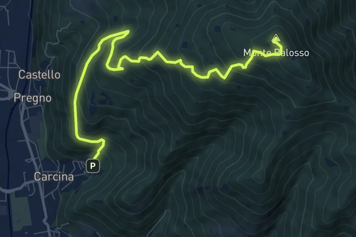
Demanding · Summit
Villa Carcina (Caricatore) – Monte Palosso
9.9 km · ↑ 908 m · 4 h 18 min · 13 km away
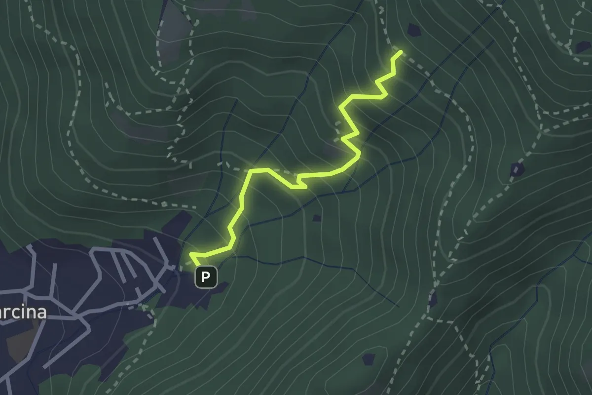
Medium · Trail
Villa Carcina - Sentiero 22
2.3 km · ↑ 303 m · 1 h 12 min · 13 km away
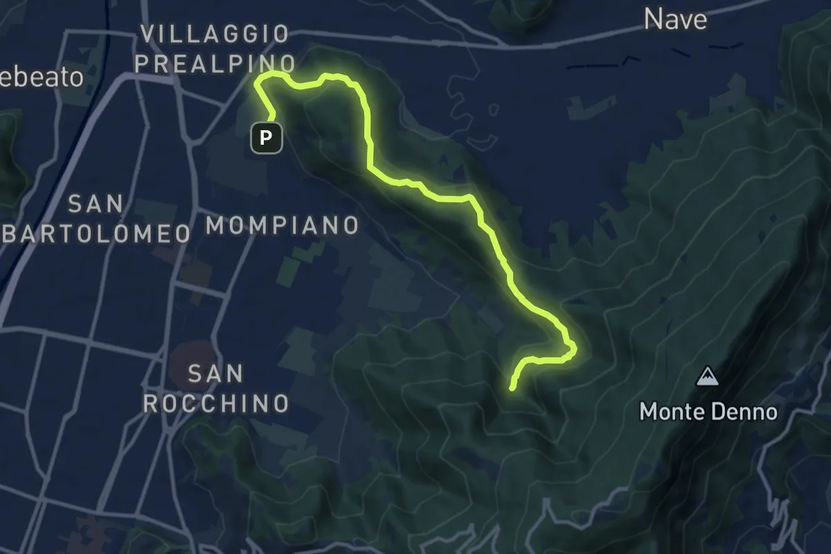
Medium · Cabin
Brescia (Via San Cristoforo) – Rifugio Valle di Mompiano
12.0 km · ↑ 345 m · 3 h 35 min · 13 km away
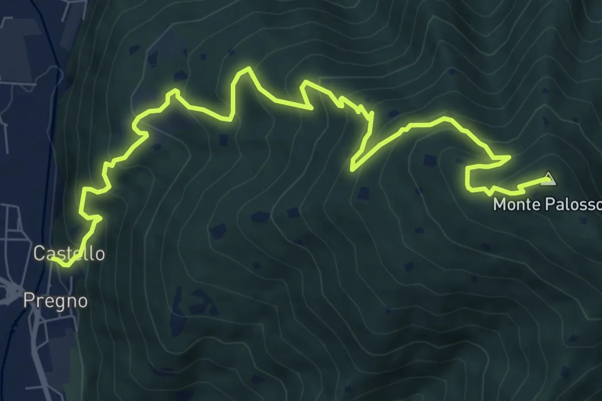
Demanding · Summit
Sentiero n° 2
10.4 km · ↑ 895 m · 4 h 24 min · 13 km away
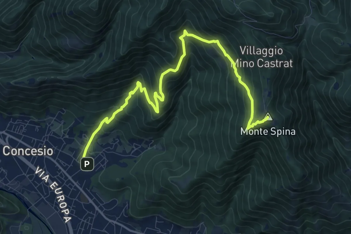
Demanding · Summit
Concesio (Roncaglie) - Sant'Onofrio
13.1 km · ↑ 861 m · 4 h 57 min · 13 km away
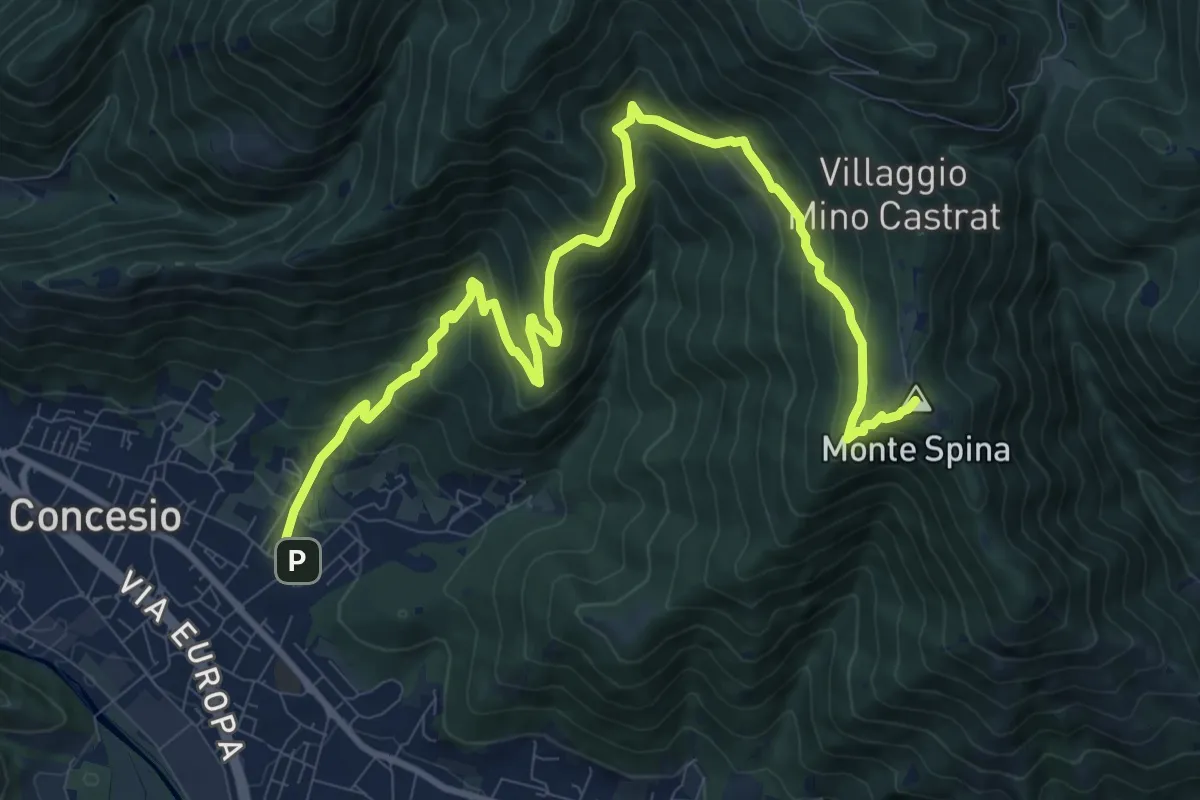
Demanding · Summit
Concesio (Roncaglie - Via Cadizzone) – Sant'Onofrio
13.1 km · ↑ 861 m · 4 h 57 min · 13 km away
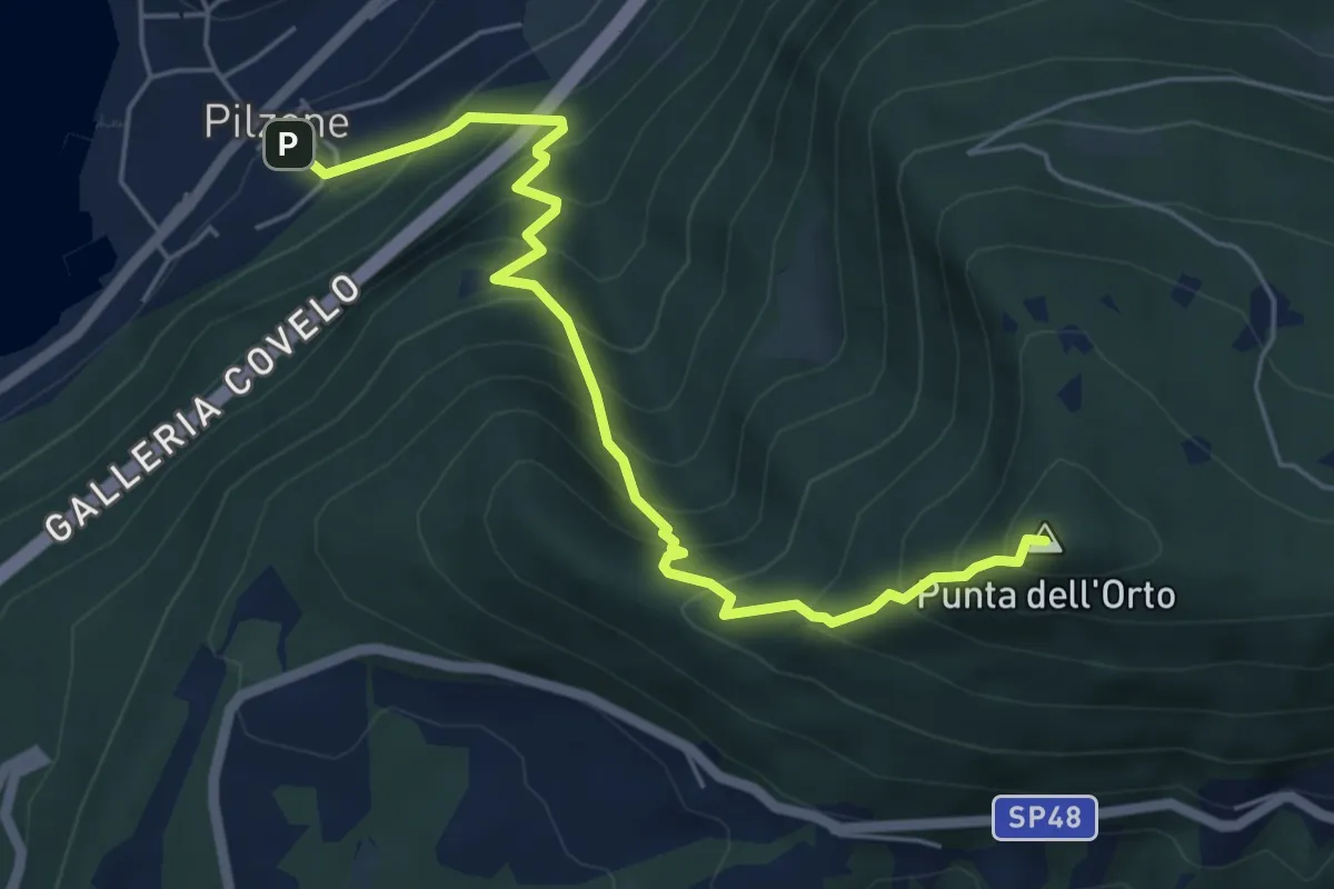
Medium · Summit
Pilzone – Punta dell'Orto
6.0 km · ↑ 762 m · 3 h 3 min · 13 km away
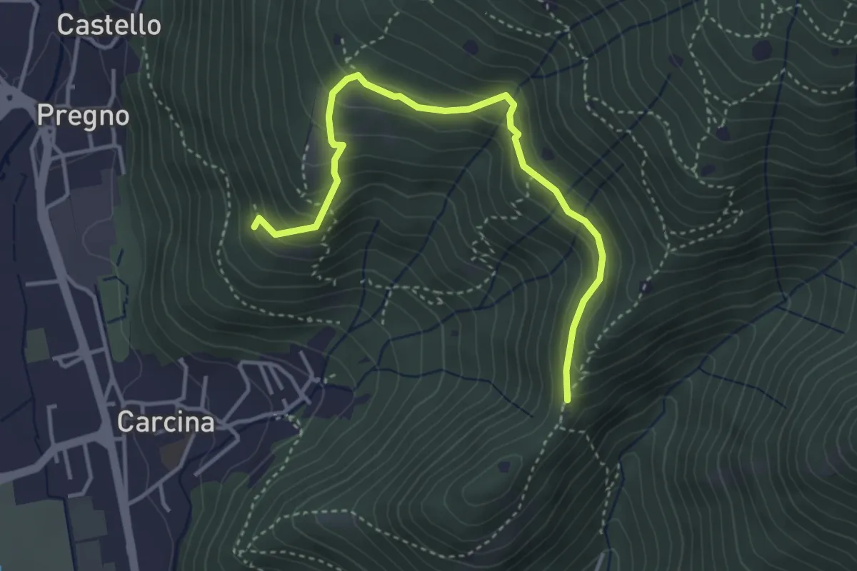
Demanding · Trail
Villa Carcina - Sentiero 16
4.0 km · ↑ 321 m · 1 h 38 min · 13 km away
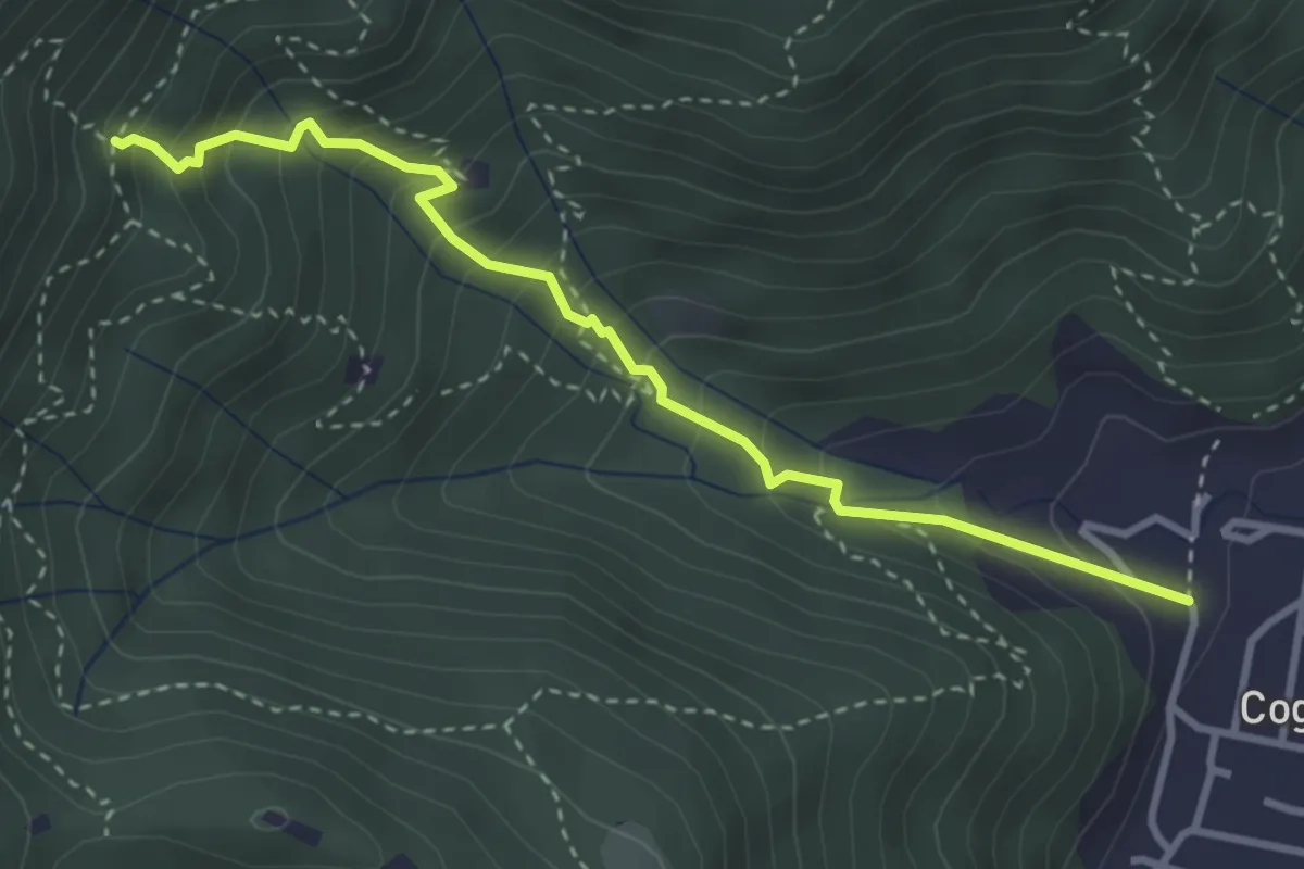
Medium · Trail
Sentiero 1 - Variante 1F
3.5 km · ↑ 394 m · 1 h 42 min · 13 km away
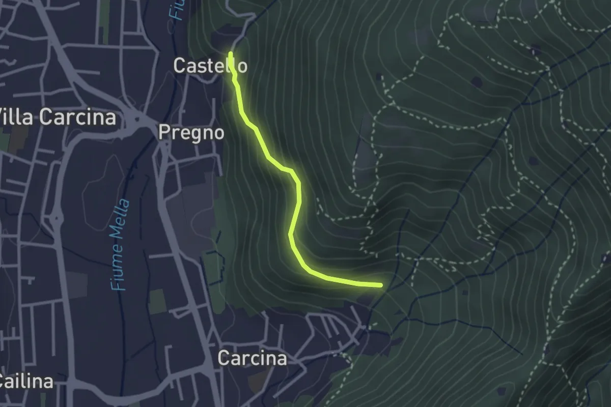
Medium · Trail
Villa Carcina (Carcina) - Pregno
2.2 km · ↑ 165 m · 53 min · 13 km away
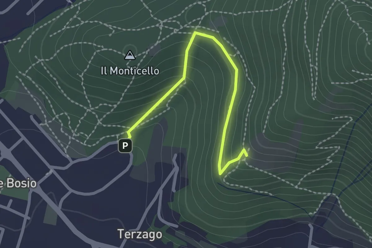
Medium · Trail
Sentiero del Marrone (Variante Concesio)
2.2 km · ↑ 137 m · 49 min · 13 km away
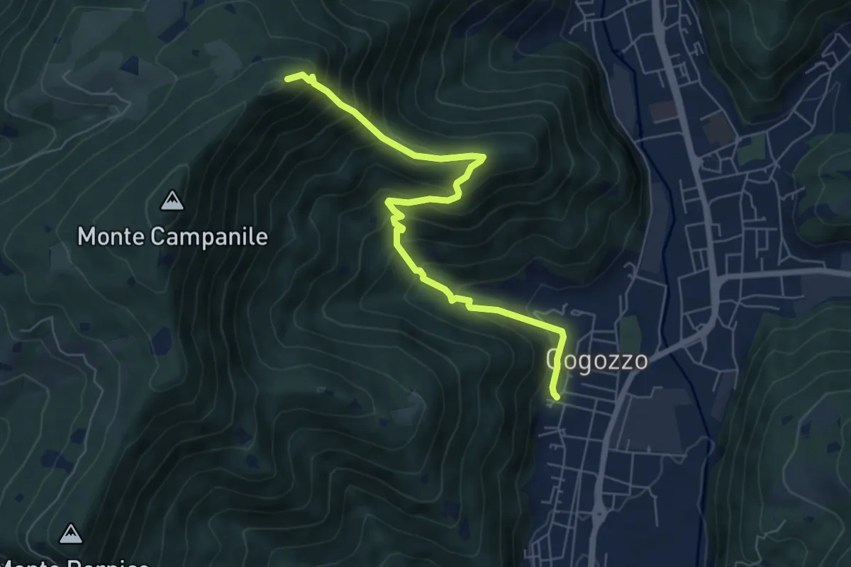
Demanding · Summit
Villa Carcina – Pizzo Cornacchia
6.7 km · ↑ 672 m · 3 h 2 min · 13 km away
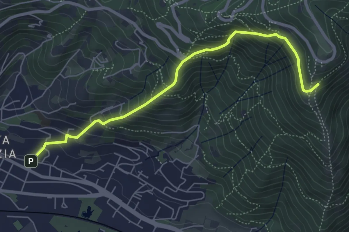
Medium · Trail
Brescia (Via del Canalotto) – Innesto Sentiero 902
5.7 km · ↑ 532 m · 2 h 29 min · 14 km away
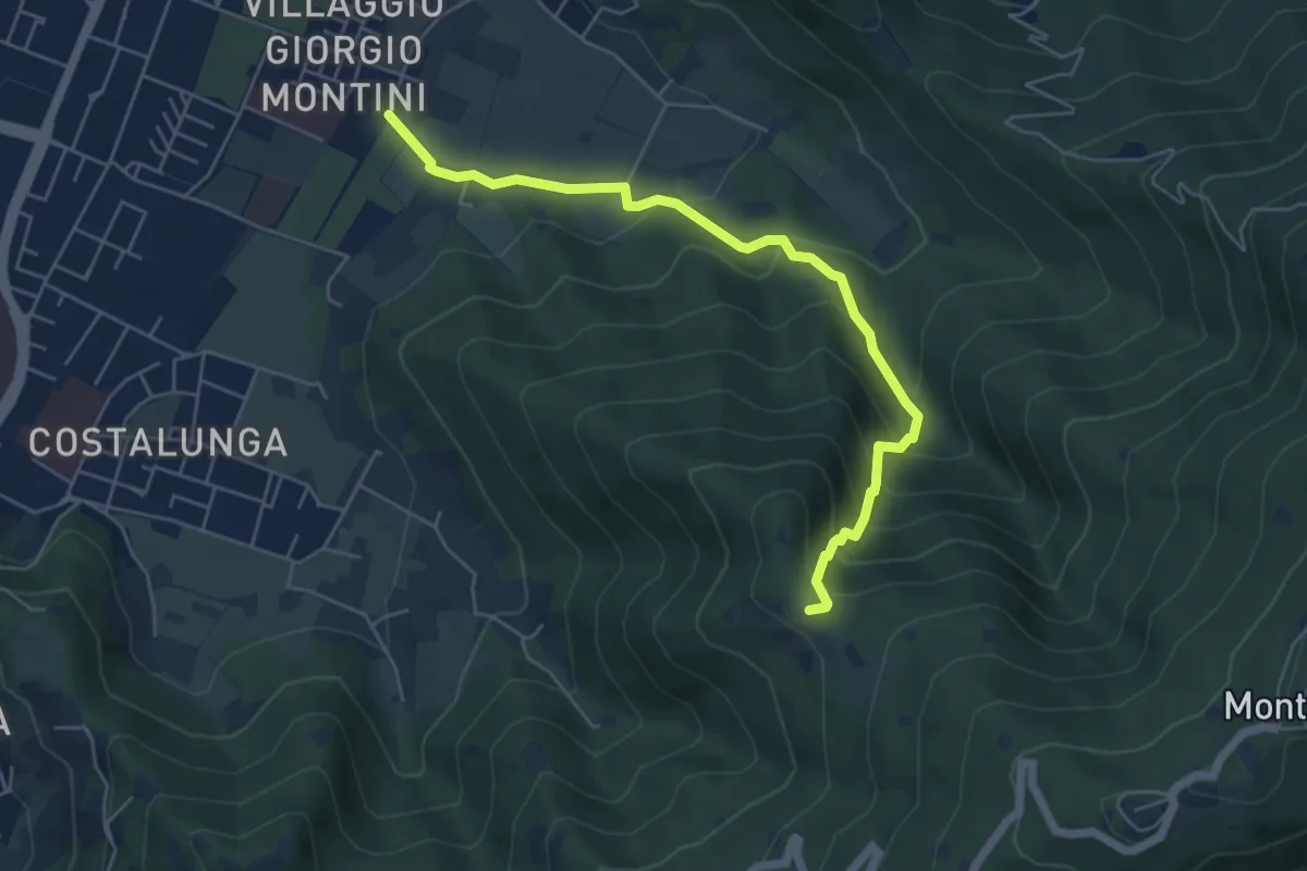
Medium · Trail
Brescia (Mompiano - Via Egidio Dabbeni) – Cascina Margherita
5.8 km · ↑ 398 m · 2 h 14 min · 14 km away
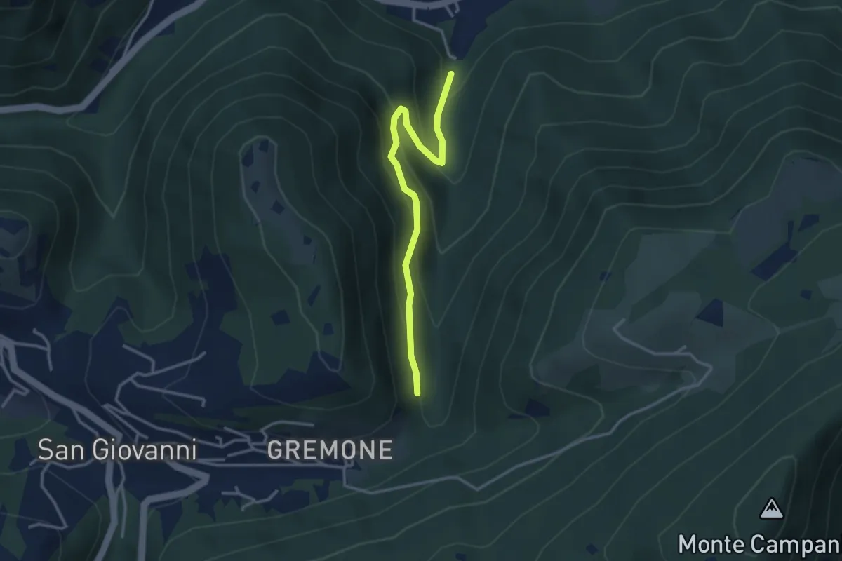
Easy · Trail
Sentiero dei Mulini
3.1 km · ↑ 239 m · 1 h 15 min · 14 km away
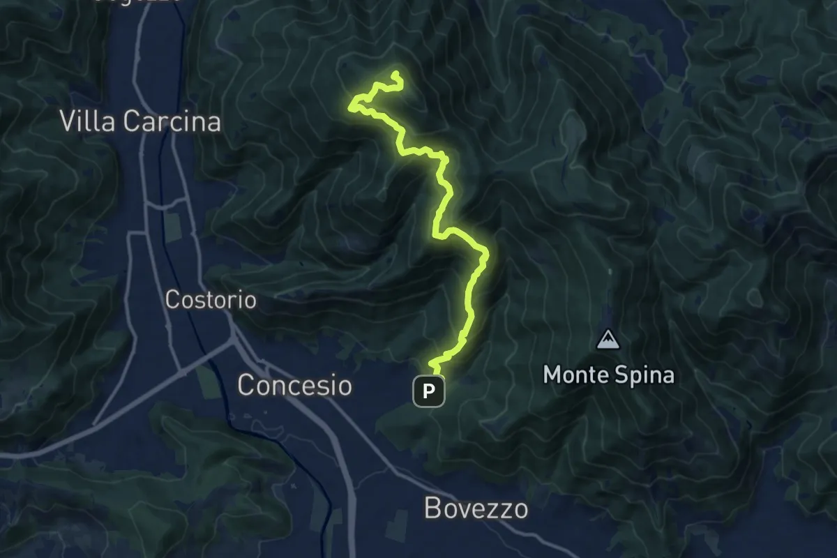
Demanding · Summit
Concesio (Roncaglie) - Monte Palosso
12.8 km · ↑ 1042 m · 5 h 17 min · 14 km away
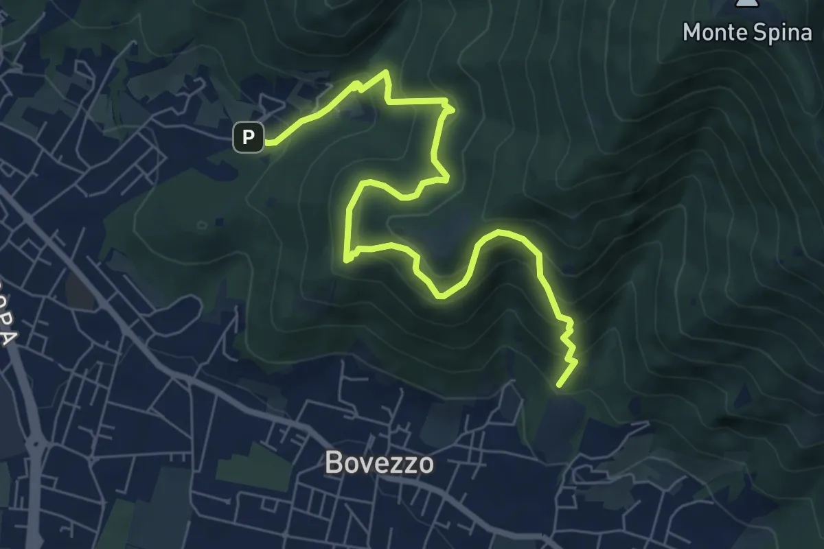
Medium · Trail
Concesio (Roncaglie - Via Sant'Onofrio) – Valle Prignole (Fontanino - Innesto Sentiero 351)
7.9 km · ↑ 704 m · 3 h 24 min · 14 km away
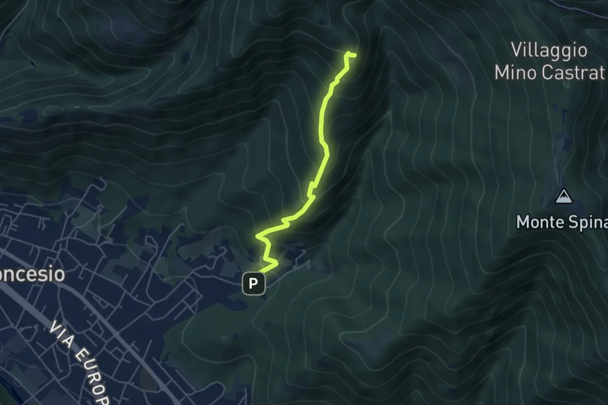
Medium · Summit
Concesio (Roncaglie) – Monte Palosso (Innesto Sentiero 377)
4.3 km · ↑ 481 m · 2 h 3 min · 14 km away
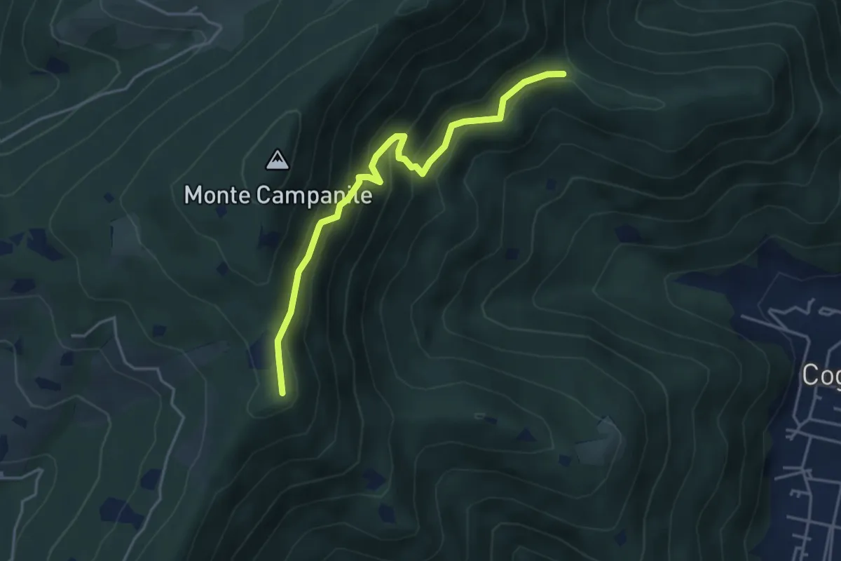
Medium · Summit
Villa Carcina (Sella Alta) – Cascina Tre Pauli
4.1 km · ↑ 337 m · 1 h 42 min · 14 km away
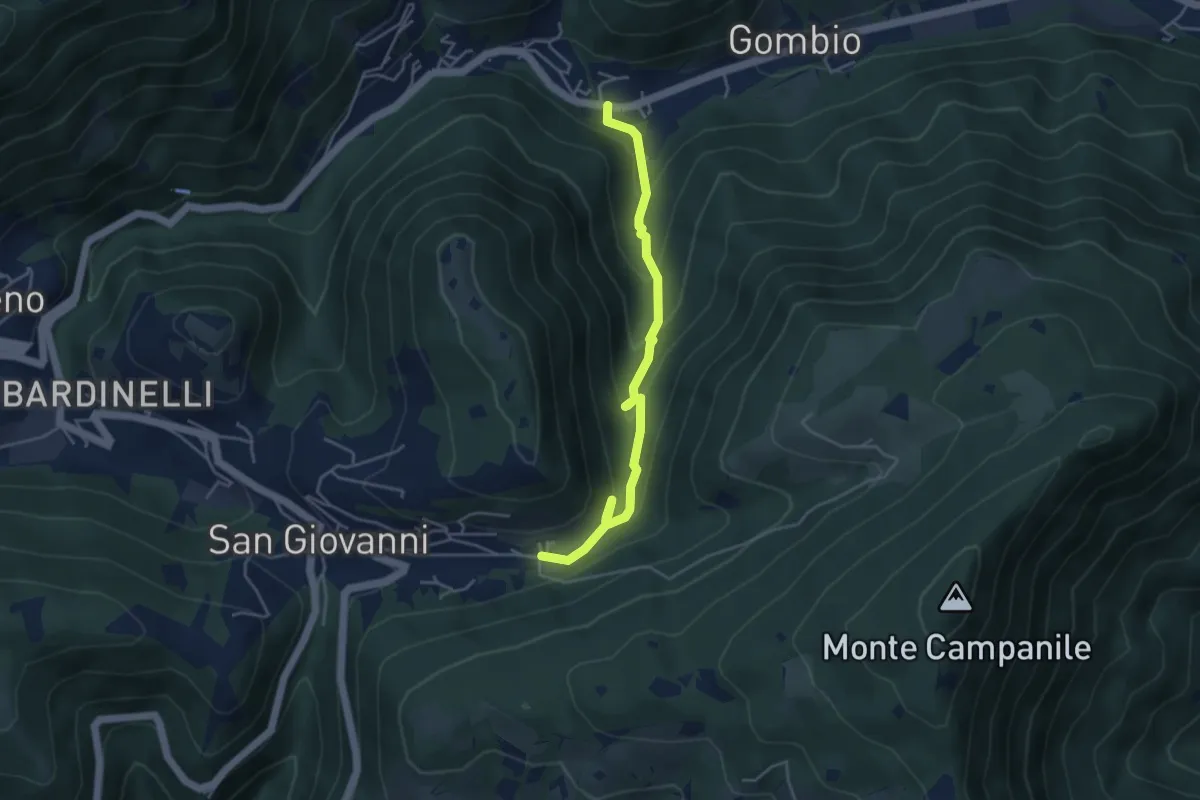
Medium · Trail
Sentiero delle Sorgenti e dei Lupi
4.4 km · ↑ 275 m · 1 h 38 min · 14 km away
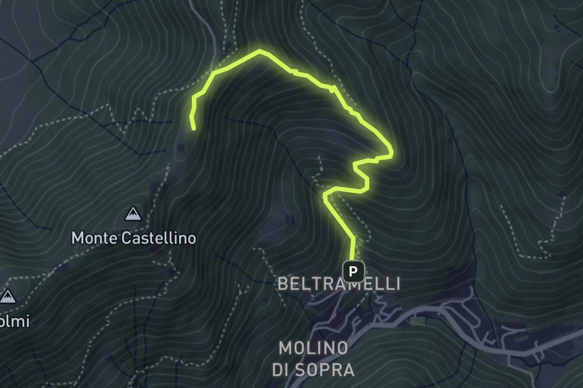
Medium · Cabin
Polaveno (Gombio) - Santa Maria del Giogo
4.3 km · ↑ 452 m · 2 h · 14 km away
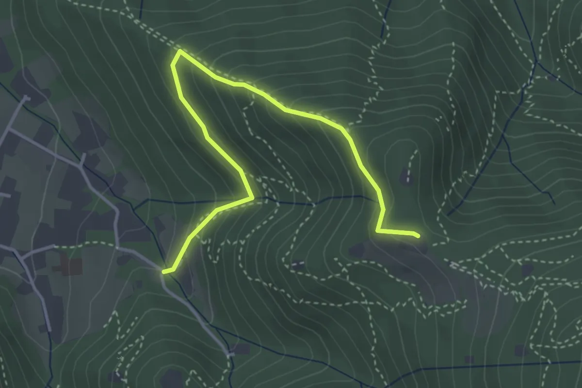
Medium · Trail
Brescia (Costalunga - Via Monte della Valle) – Monte Maddalena (Cascina Margherita - Innesto Sentiero 907)
4.0 km · ↑ 301 m · 1 h 36 min · 14 km away
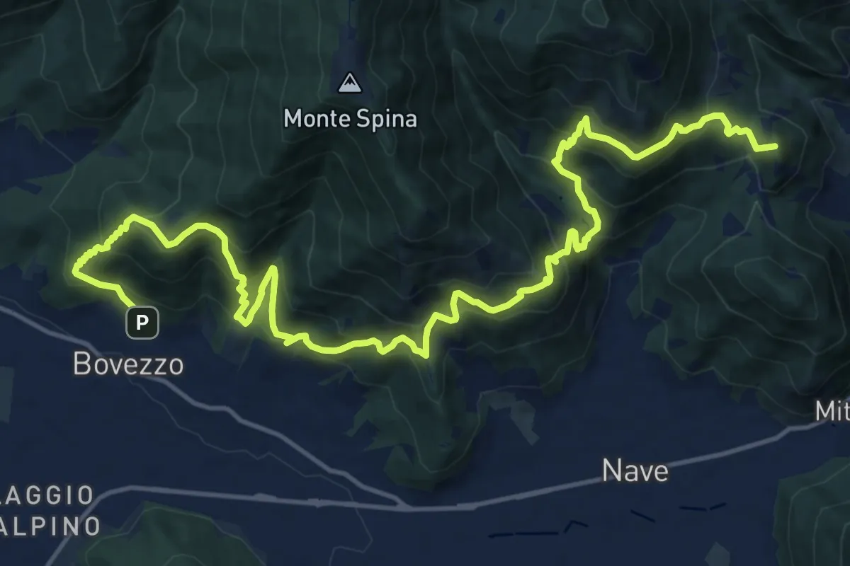
Demanding · Summit
Sentiero del Marrone
20.2 km · ↑ 1796 m · 8 h 40 min · 14 km away
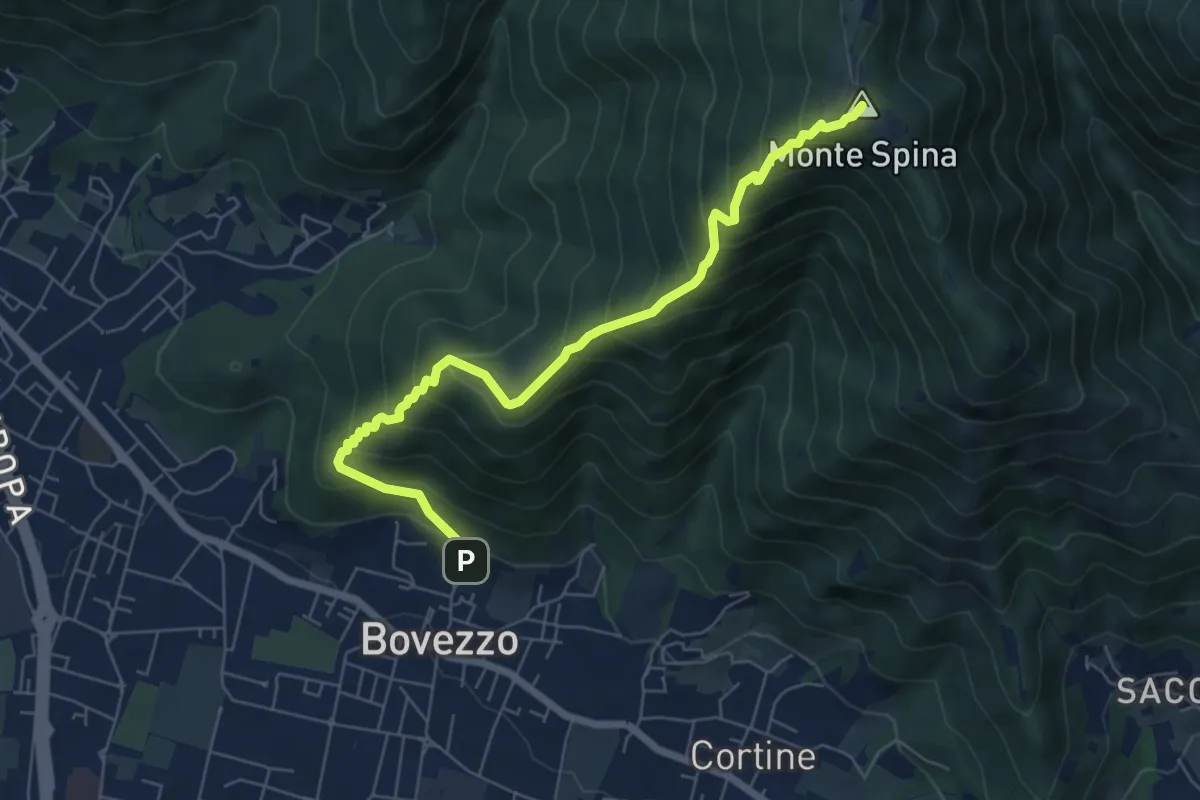
Medium · Summit
Bovezzo (Via Castello) – Sant'Onofrio
6.9 km · ↑ 705 m · 3 h 10 min · 14 km away
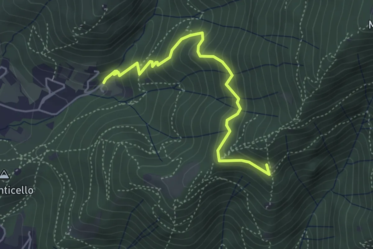
Medium · Summit
Concesio (Roncaglie - Via Sant'Onofrio) – Castagnotta
4.4 km · ↑ 408 m · 1 h 56 min · 14 km away
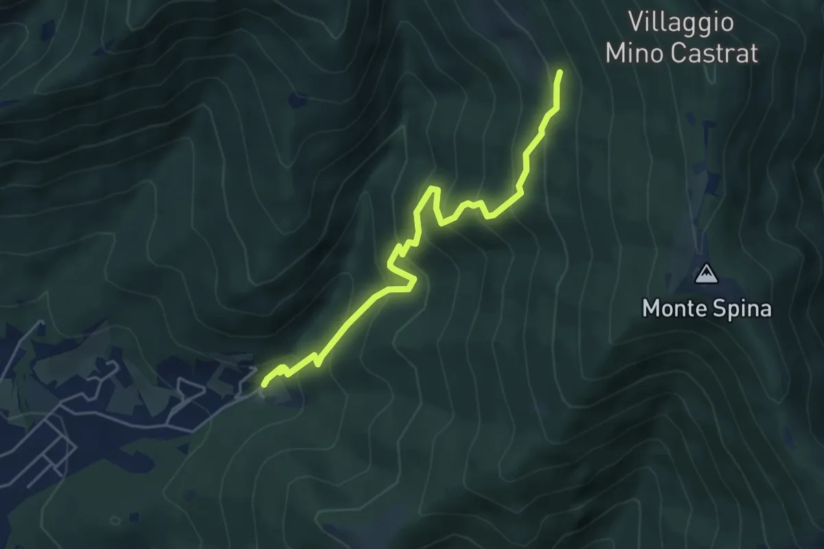
Medium · Trail
Concesio (Roncaglie - Via Sant'Onofrio) – Grassi de le Còle (Innesto Sentiero 390)
4.9 km · ↑ 474 m · 2 h 10 min · 14 km away
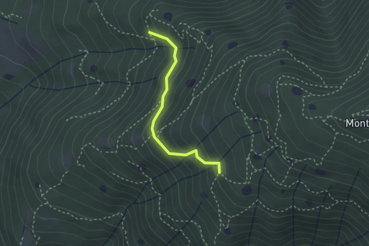
Easy · Trail
Villa Carcina - Sentiero 19
2.3 km · ↑ 210 m · 59 min · 14 km away
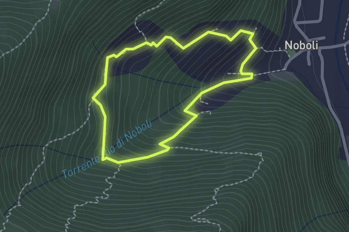
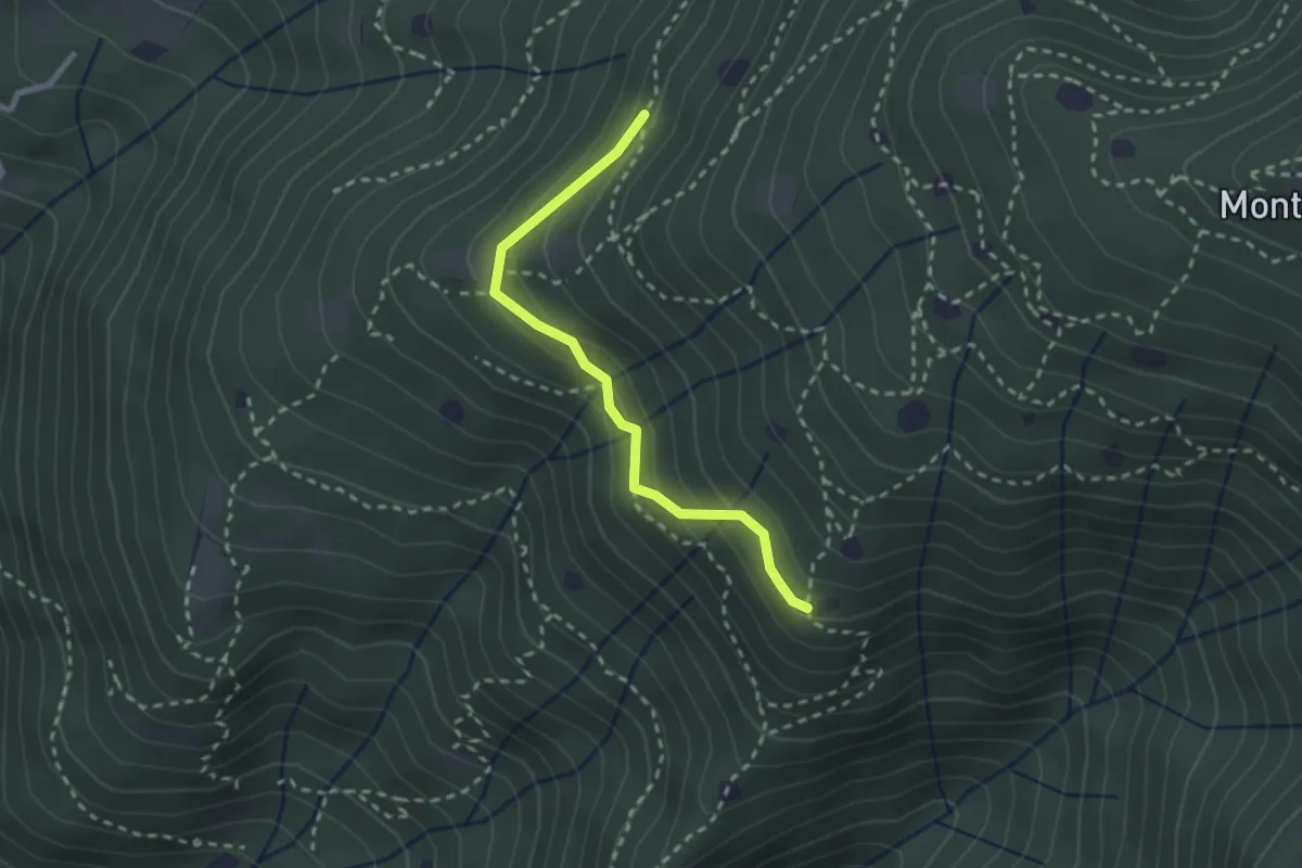
Medium · Trail
La Via dei marù
1.8 km · ↑ 182 m · 50 min · 14 km away
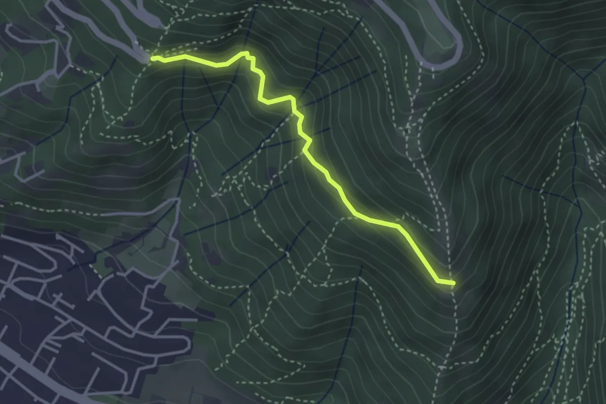
Easy · Trail
Villa Carcina - Sentiero 20
2.4 km · ↑ 169 m · 56 min · 14 km away
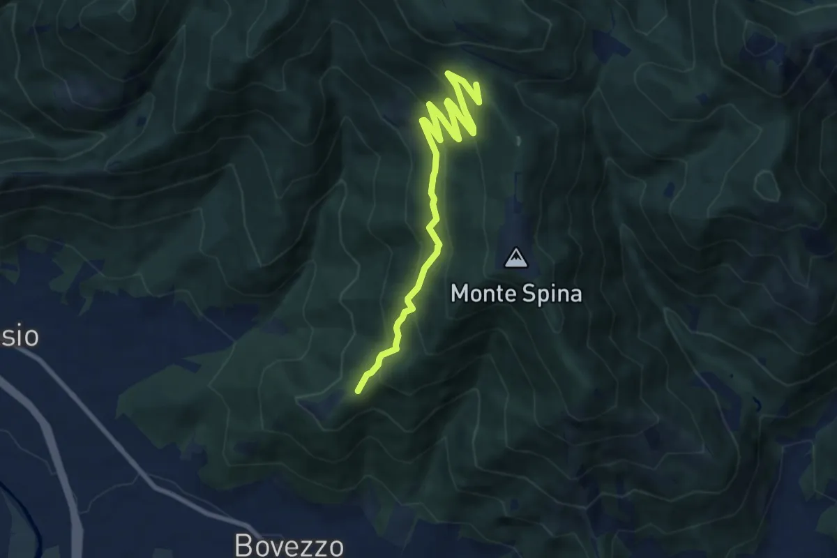
Medium · Trail
Innesto sentiero n. 902 – Innesto sentiero3V n.993
3.2 km · ↑ 233 m · 1 h 16 min · 15 km away
Medium · Trail
Bovezzo (Santella delle Pentere) – Strada del Sant'Onofrio
8.5 km · ↑ 469 m · 3 h 1 min · 15 km away
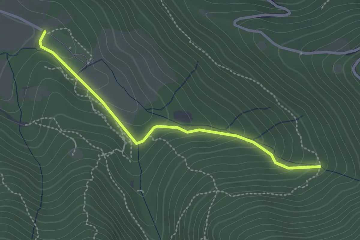
Easy · Trail
Sentiero Val Persane
2.6 km · ↑ 152 m · 57 min · 15 km away
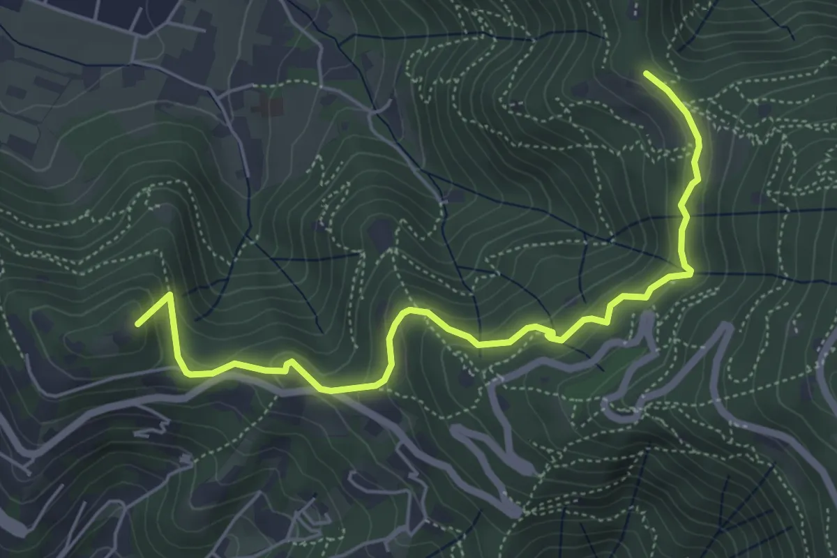
Medium · Summit
Brescia (Via del Goletto) – Cascina Margherita
5.9 km · ↑ 306 m · 2 h 3 min · 15 km away
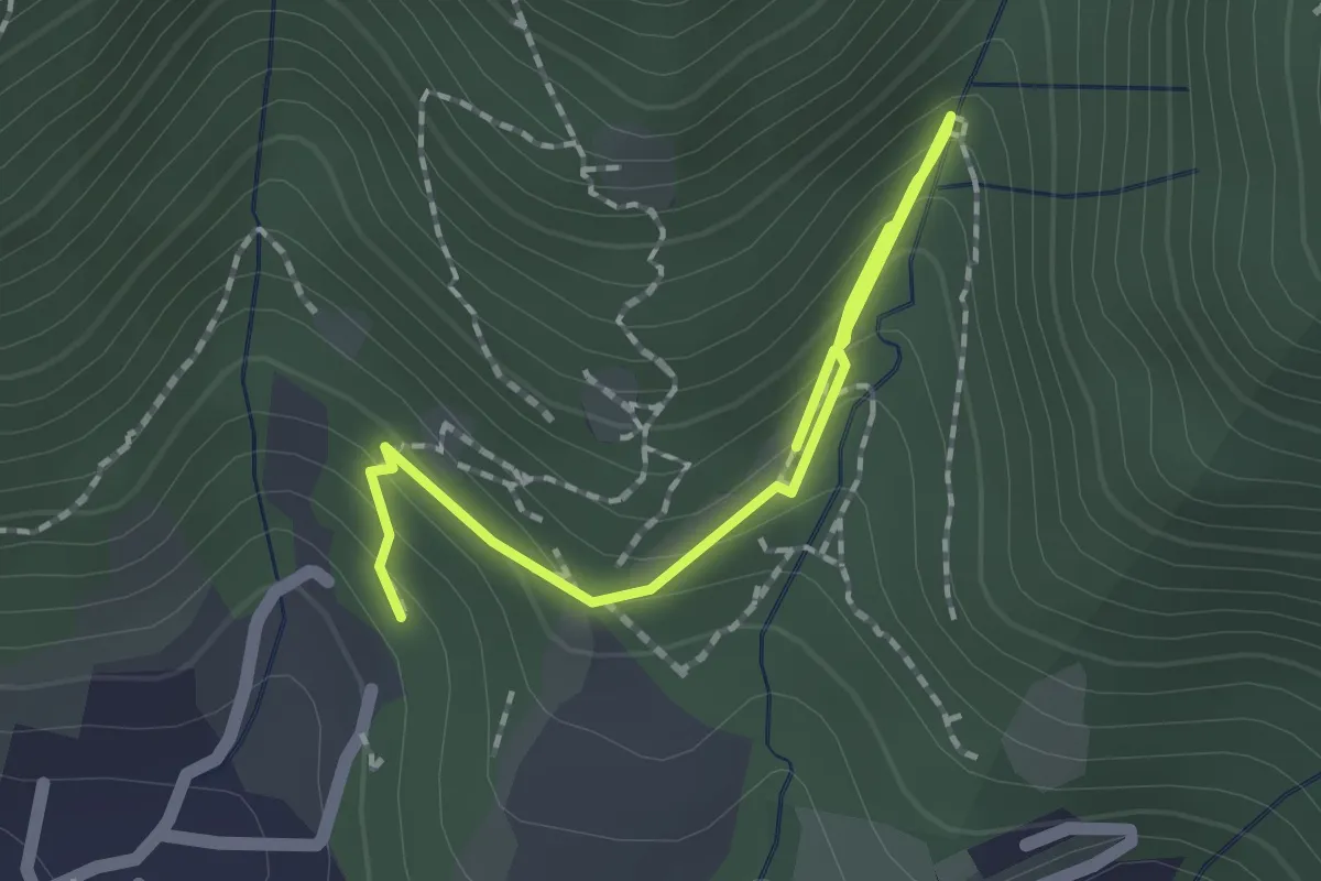
Medium · Trail
Percorso botanico
2.7 km · ↑ 231 m · 1 h 9 min · 15 km away
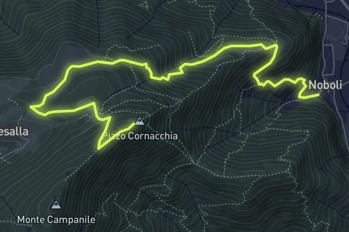
Medium · Summit
Sarezzo (Noboli) - Pizzo Cornacchia
9.1 km · ↑ 682 m · 3 h 37 min · 15 km away
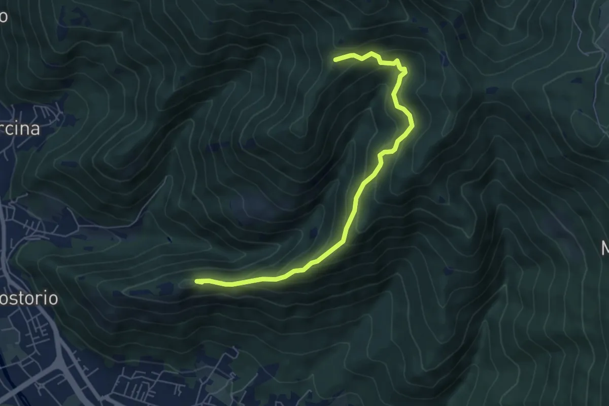
Medium · Summit
Concesio (Costorio) – Tesa del Condigolo (Innesto sentiero 378)
6.4 km · ↑ 468 m · 2 h 32 min · 15 km away
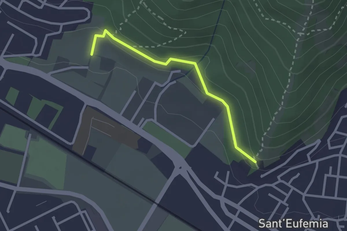
Medium · Trail
Sentiero della Memoria
2.2 km · ↑ 68 m · 39 min · 15 km away
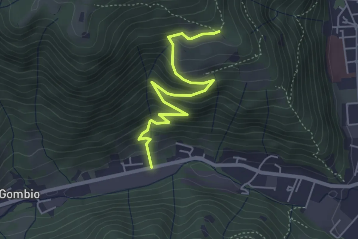
Medium · Trail
Sarezzo (San Martino) - Paule di Sopra
4.3 km · ↑ 349 m · 1 h 46 min · 15 km away
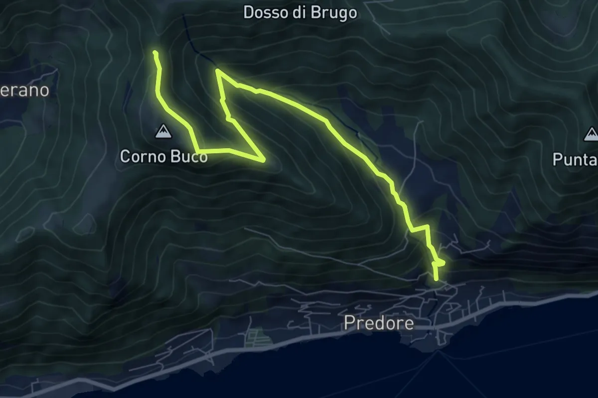
Medium · Trail
Predore – Colle di Oregia
8.7 km · ↑ 661 m · 3 h 29 min · 15 km away
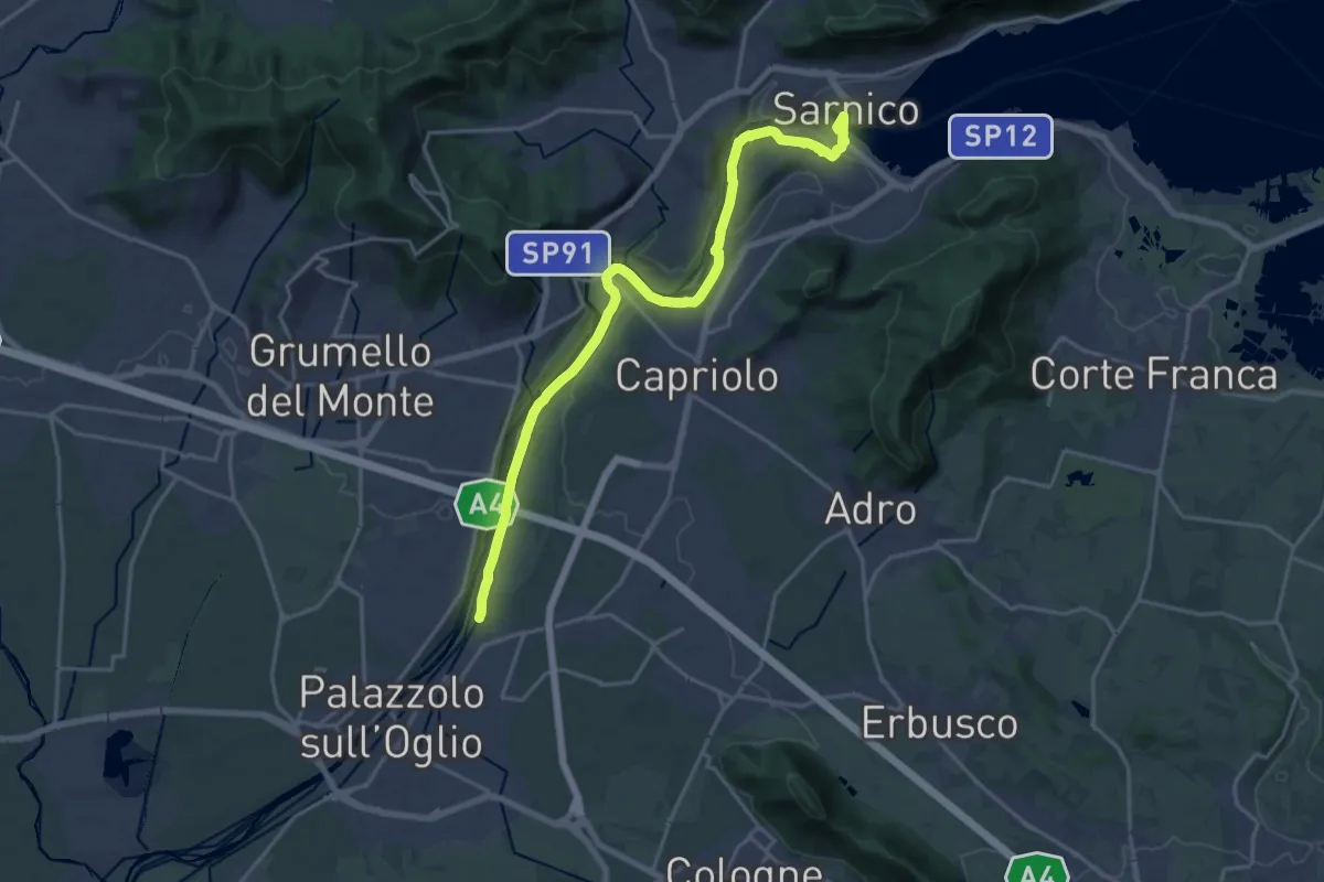
Demanding · Trail
Sentiero Verde dell'Oglio
21.0 km · ↑ 317 m · 5 h 39 min · 15 km away
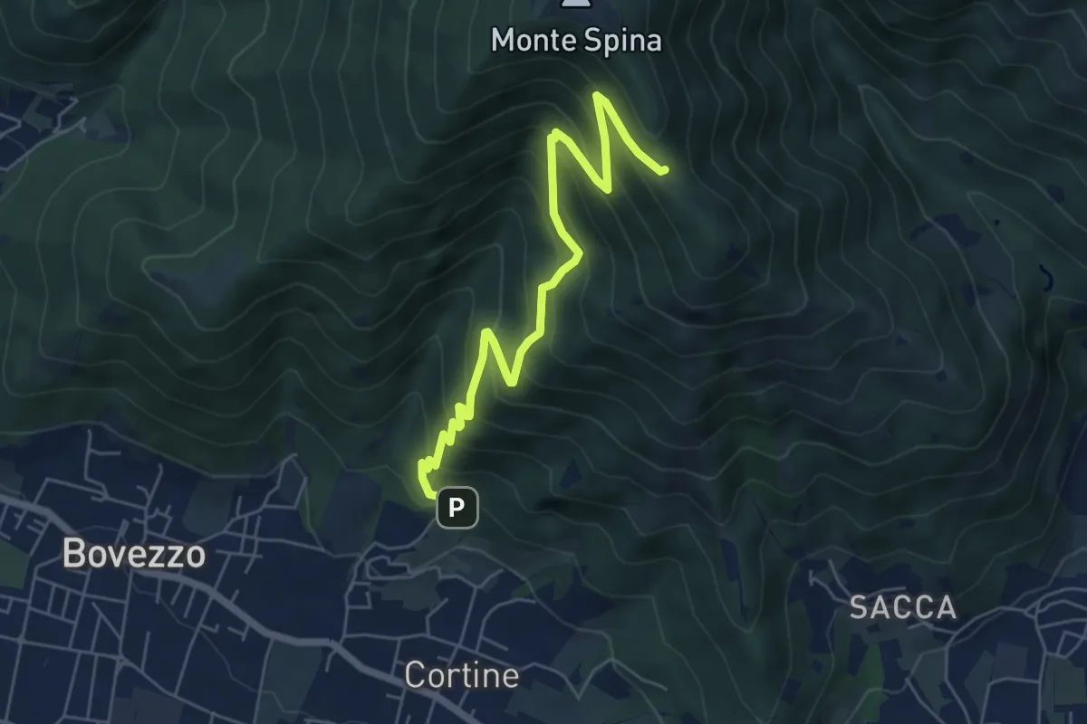
Medium · Cabin
Nave (Cortine - Albergo dei Poveri) – Roccolo Squassina
6.2 km · ↑ 586 m · 2 h 45 min · 15 km away
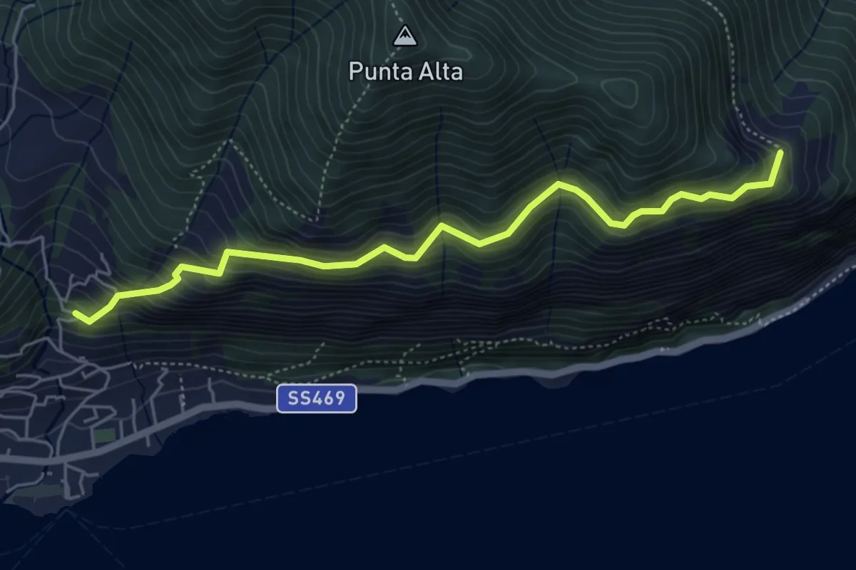
Medium · Trail
Sentiero dei Fiori
5.3 km · ↑ 518 m · 2 h 22 min · 15 km away
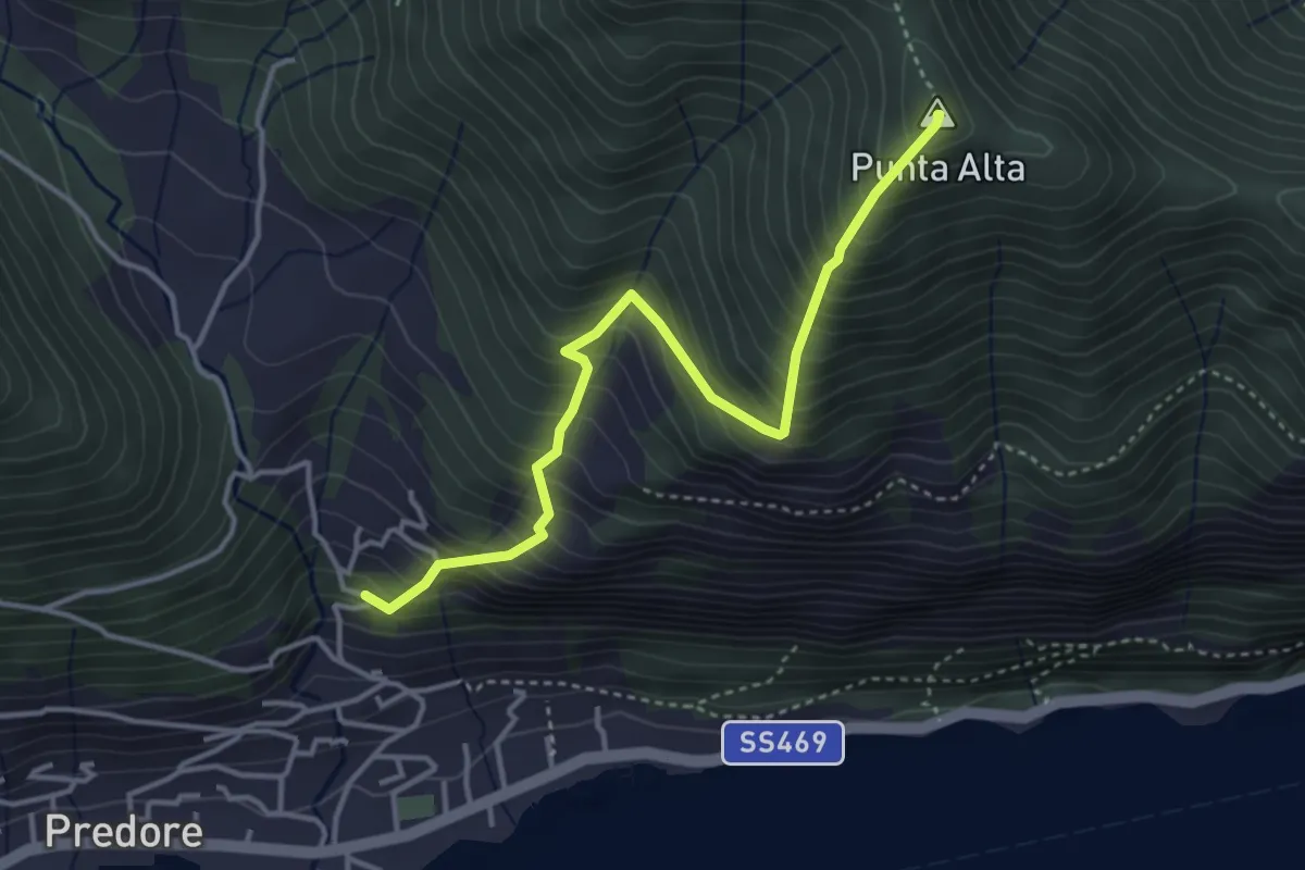
Medium · Summit
San Gregorio (Predore) – Punta Alta
3.9 km · ↑ 634 m · 2 h 18 min · 15 km away