Trails near Palombara Sabina
93 hikes starting within 15 km, nearest first.
Nearest first, page 1 of 2
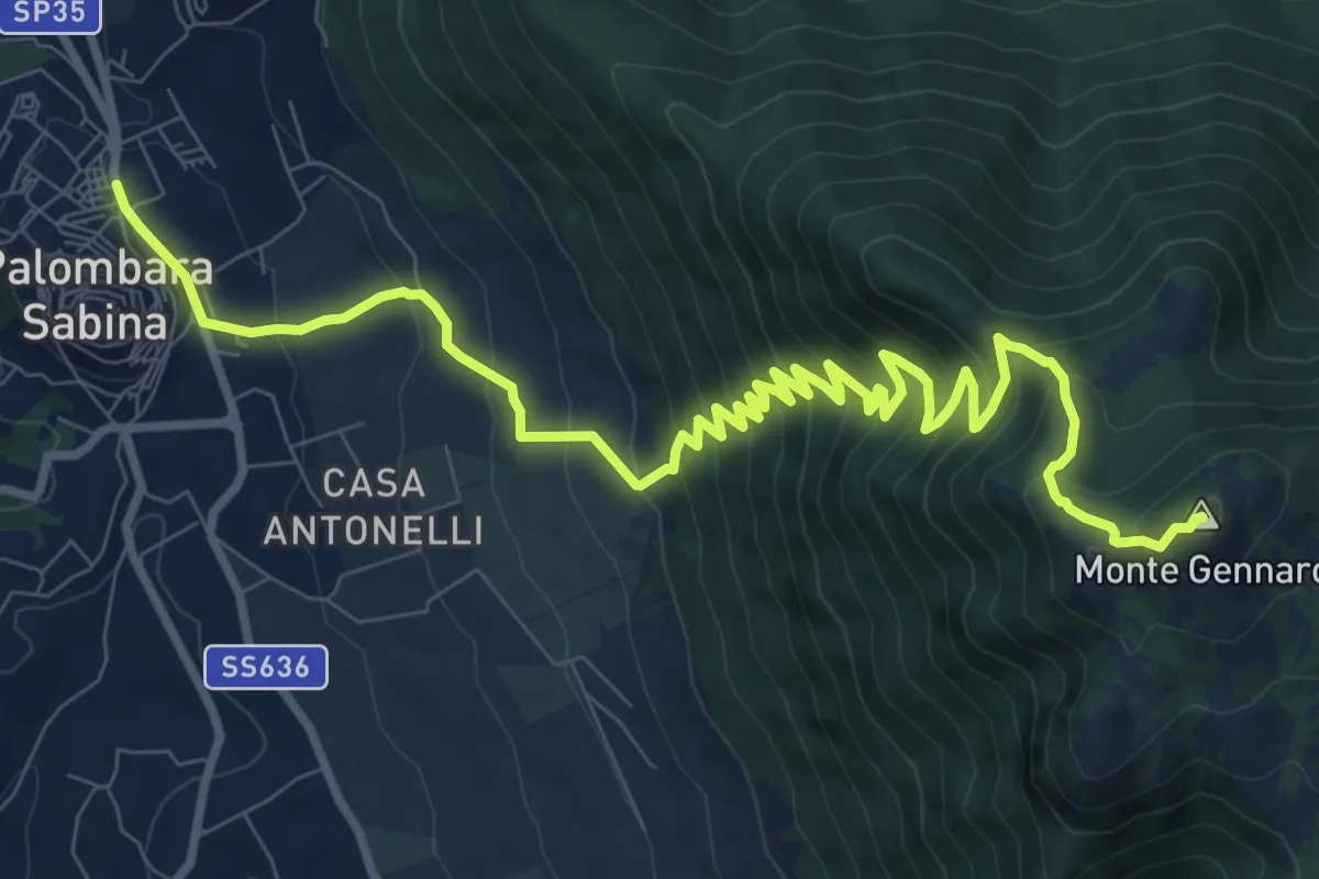
Demanding · Summit
Palombara-Monte Gennaro
13.5 km · ↑ 973 m · 5 h 17 min · under 1 km away
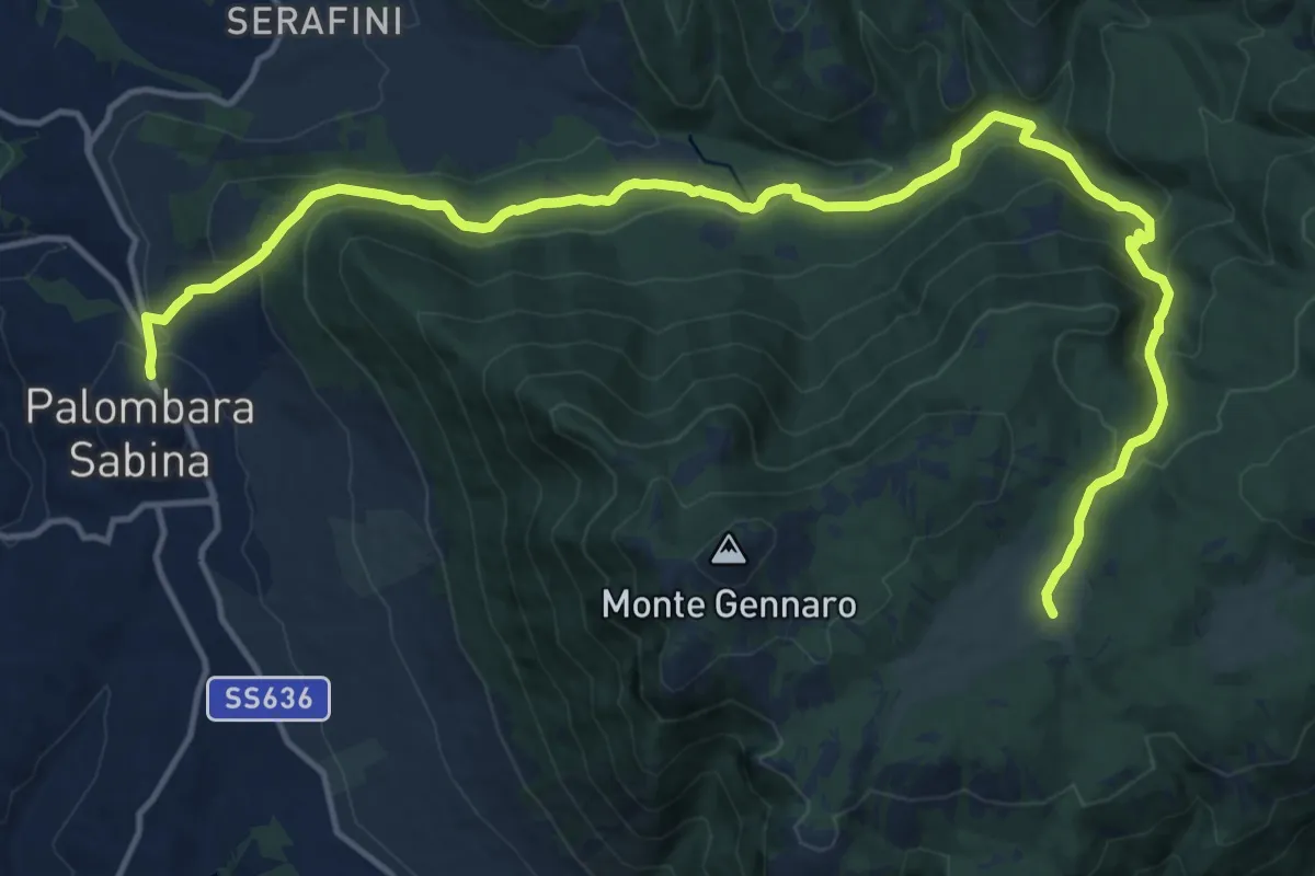
Expert · Cabin
Palombara S.-Pratone
20.0 km · ↑ 881 m · 6 h 38 min · under 1 km away
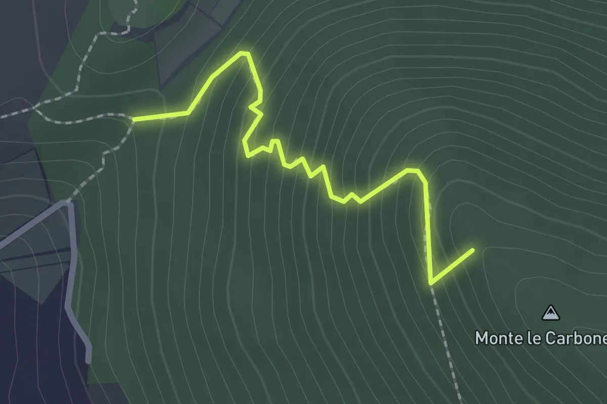
Easy · Summit
S. Nicola-Castiglione
2.1 km · ↑ 217 m · 58 min · 1 km away
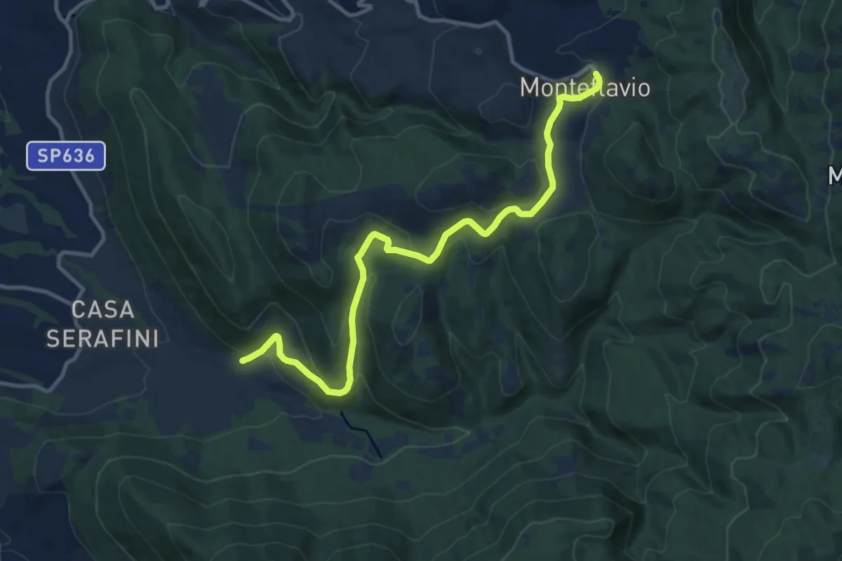
Medium · Trail
Fontanili – Monteflavio
12.6 km · ↑ 499 m · 4 h 3 min · 3 km away
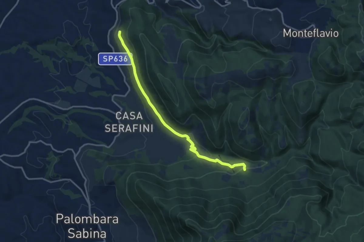
Demanding · Trail
Torretta-Molino Casoli
10.5 km · ↑ 206 m · 2 h 55 min · 5 km away
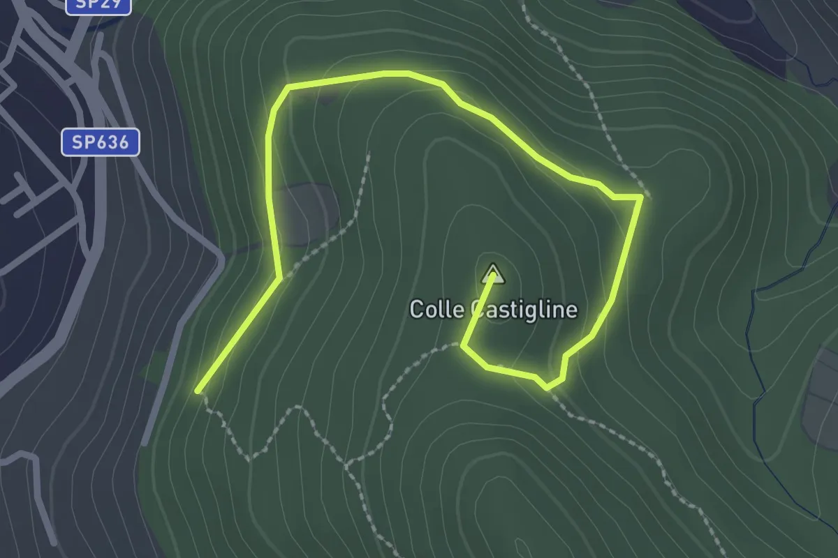
Easy · Summit
Terre Bianche-Castiglione
3.3 km · ↑ 123 m · 1 h 2 min · 5 km away
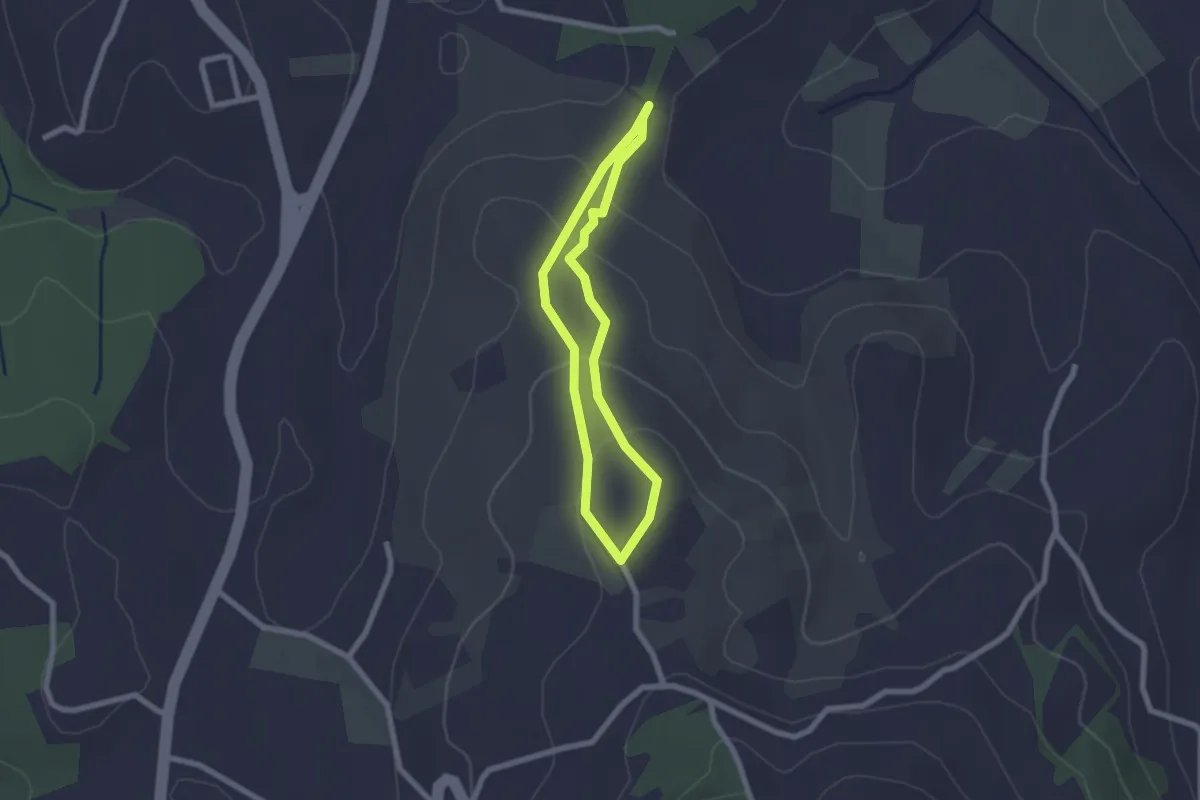
Easy · Trail
Sentiero Celeste
1.9 km · ↑ 91 m · 41 min · 5 km away
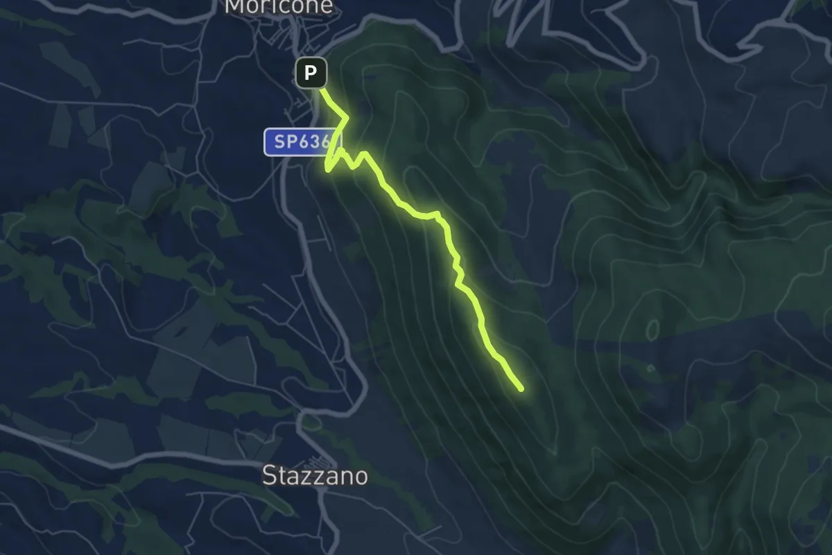
Medium · Summit
Moricone – Monte Matano
5.9 km · ↑ 358 m · 2 h 10 min · 5 km away
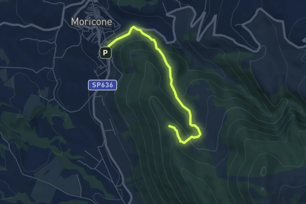
Easy · Trail
Moricone – Le Pianate
5.9 km · ↑ 301 m · 2 h 2 min · 5 km away
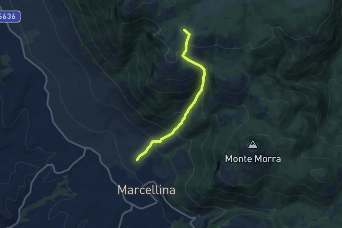
Medium · Summit
La Stretta
6.6 km · ↑ 719 m · 3 h 7 min · 5 km away
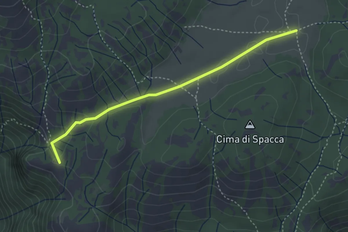
Easy · Summit
La Scalarola Scarpellata-Chiesetta del Pratone
3.8 km · ↑ 58 m · 1 h 1 min · 5 km away
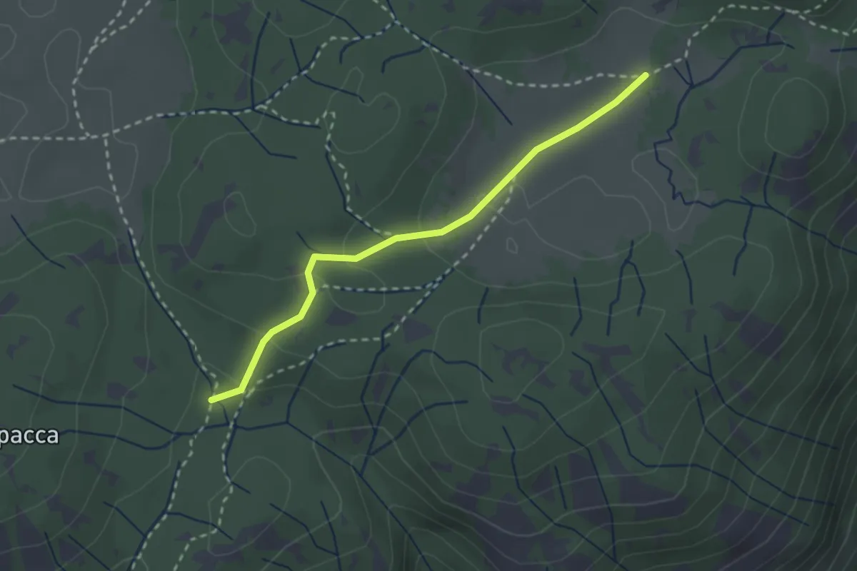
Easy · Trail
Valle Cavalera – Fonte Campitello
2.7 km · ↑ 88 m · 50 min · 6 km away
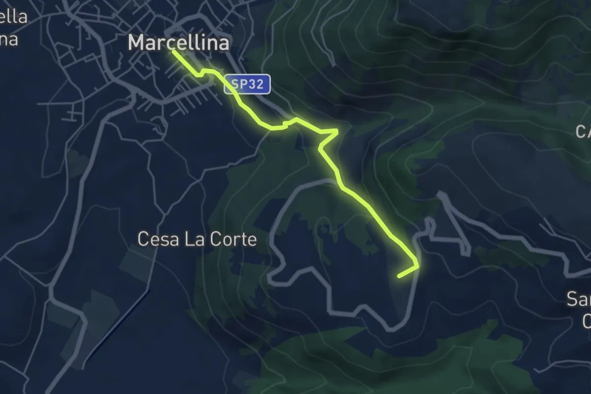
Easy · Summit
Marcellina-San Polo
4.8 km · ↑ 228 m · 1 h 38 min · 6 km away
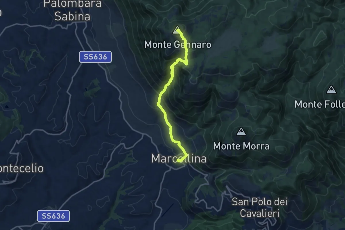
Demanding · Summit
La Scarpellata
11.8 km · ↑ 986 m · 4 h 56 min · 6 km away
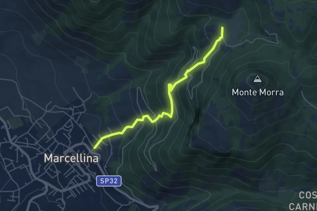
Expert · Summit
Marcellina-Prato Favale
5.0 km · ↑ 488 m · 2 h 14 min · 6 km away
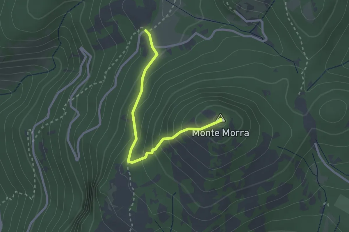
Expert · Summit
Prato Favale-Monte Morra
2.5 km · ↑ 219 m · 1 h 4 min · 6 km away
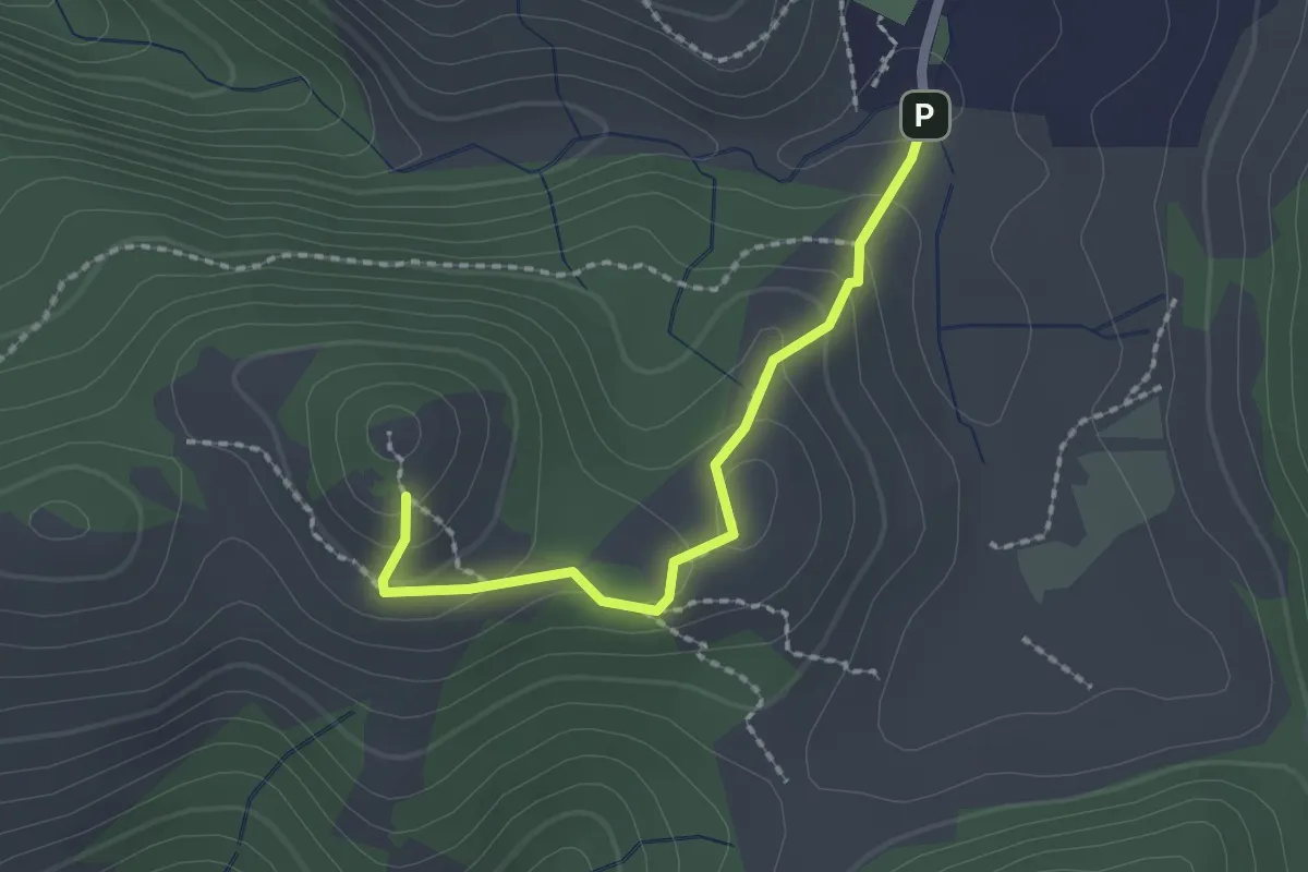
Easy · Trail
Fosso delle Pacine - Montefalco
2.1 km · ↑ 109 m · 43 min · 7 km away
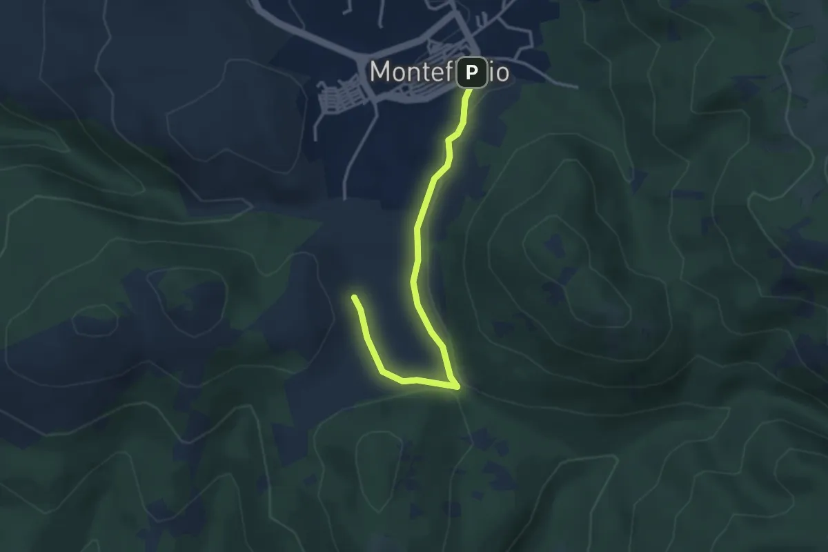
Easy · Trail
Monteflavio – Colle del Riccio
3.5 km · ↑ 46 m · 56 min · 7 km away
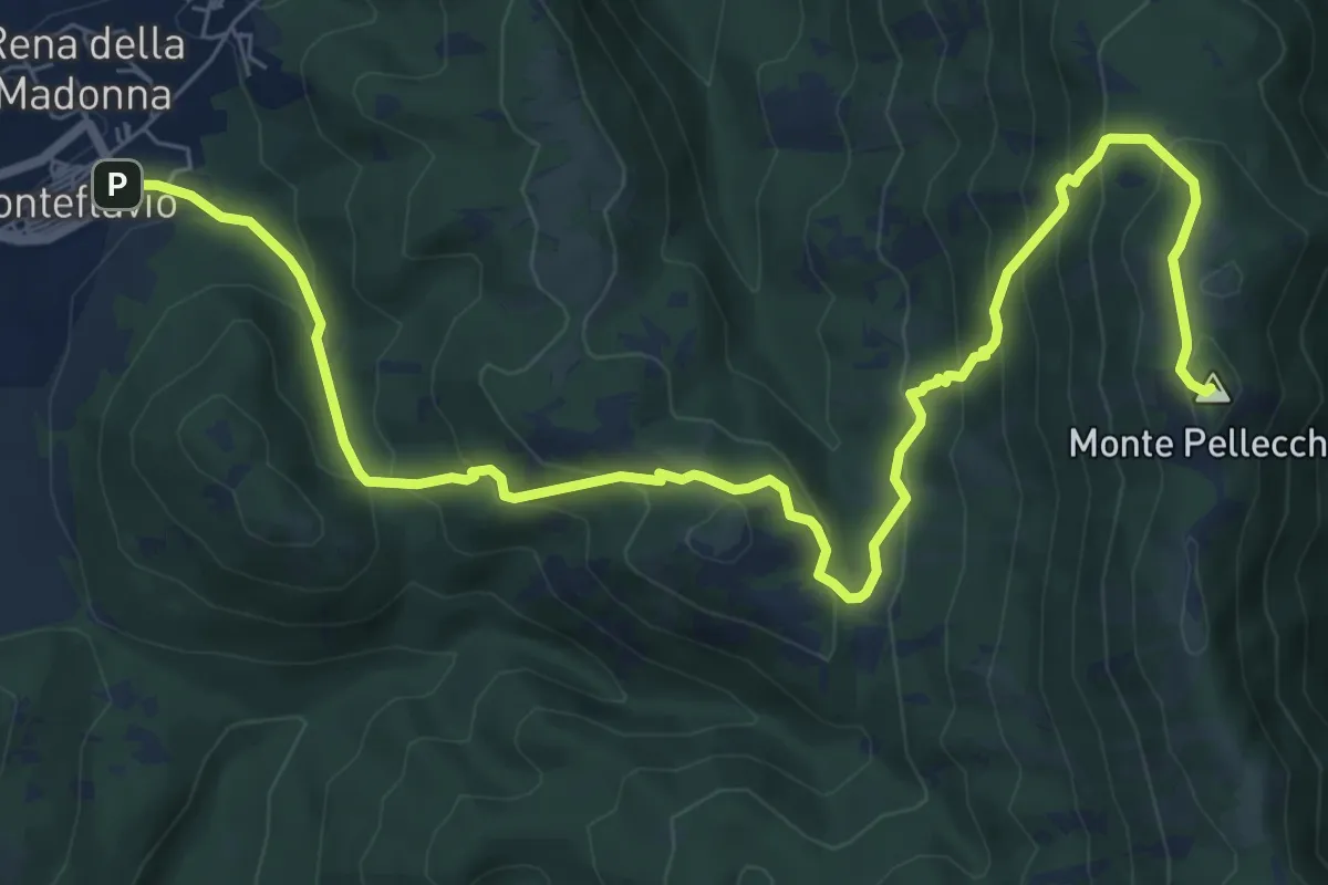
Medium · Summit
Monteflavio-Monte Pellecchia
10.5 km · ↑ 676 m · 3 h 57 min · 7 km away
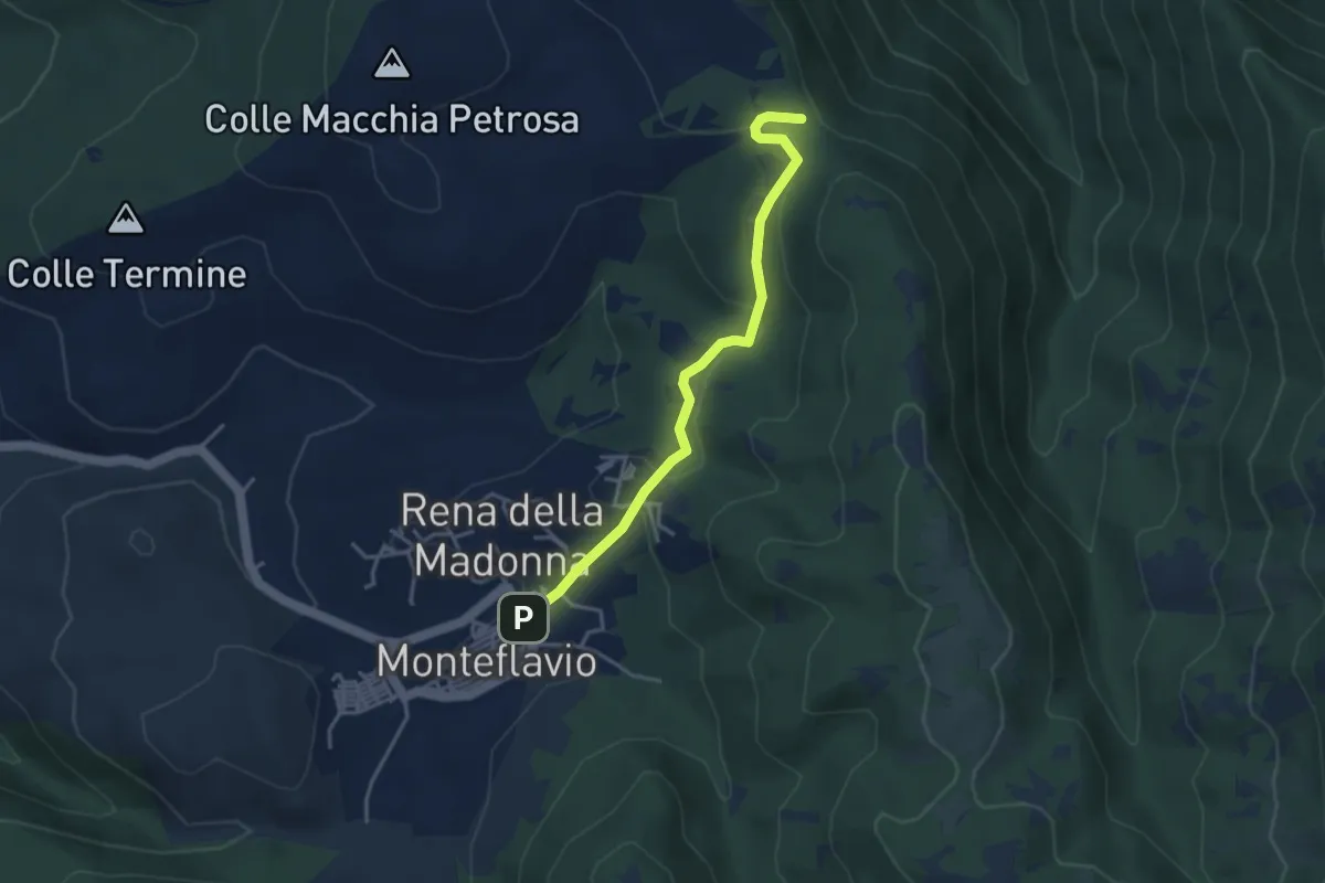
Easy · Trail
Monteflavio-Passo della Croce
3.9 km · ↑ 142 m · 1 h 14 min · 7 km away
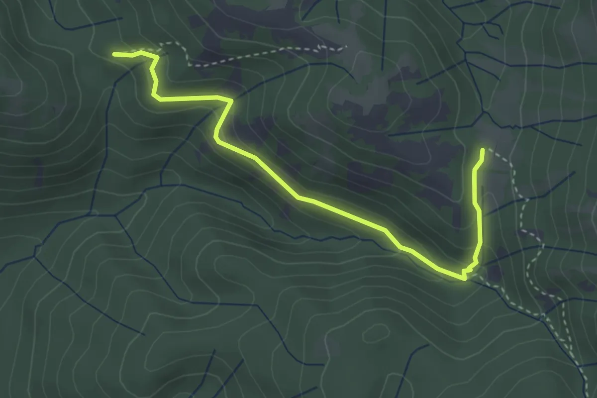
Easy · Trail
Madonna del Carmine-Valle del Prete
4.0 km · ↑ 212 m · 1 h 24 min · 7 km away
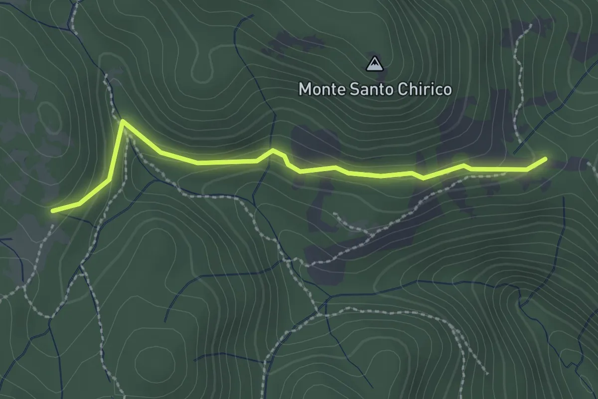
Easy · Trail
Fonte S. Chirico – Casale capo di Porco
2.6 km · ↑ 113 m · 51 min · 8 km away
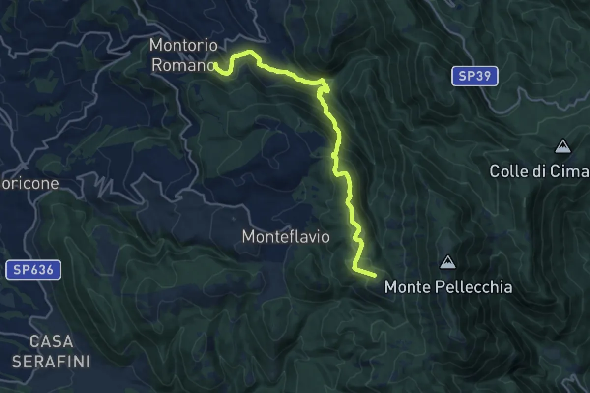
Medium · Summit
Montorio Romano-Colle della Caparnassa
14.9 km · ↑ 753 m · 5 h 8 min · 8 km away
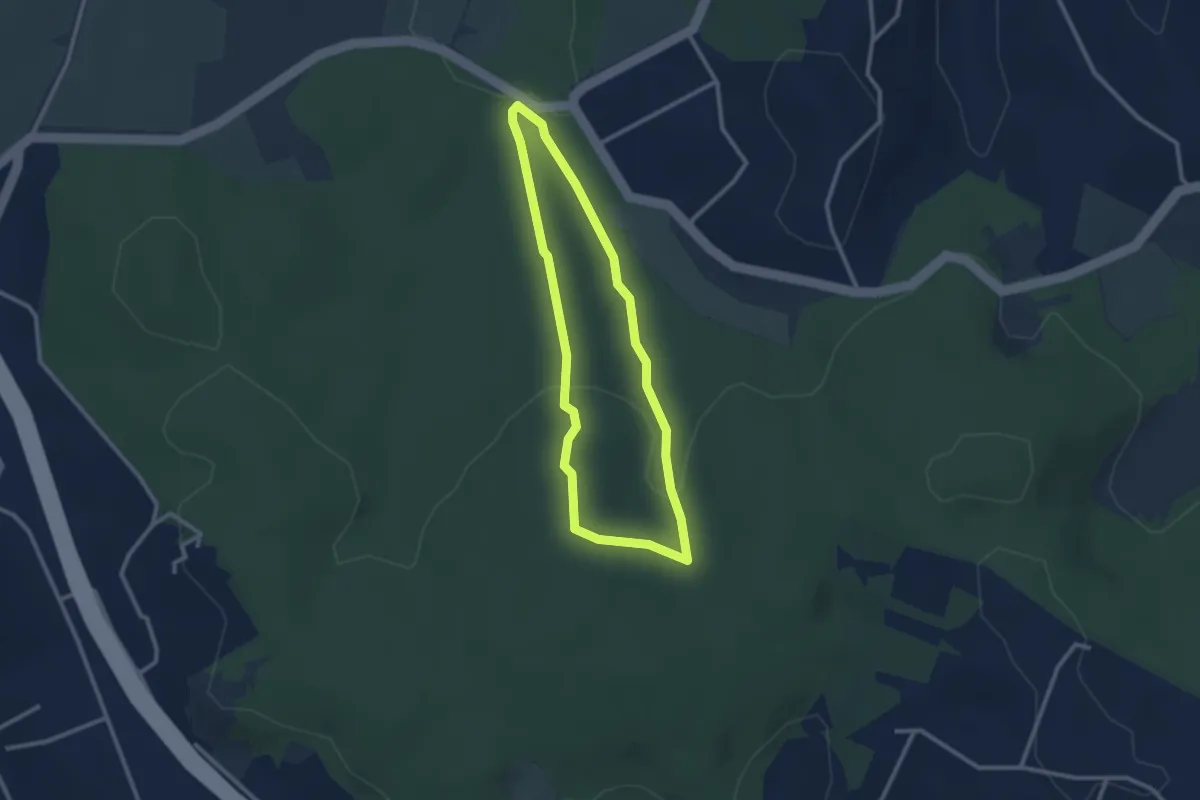
Easy · Trail
Sentiero Rosso (parte 2)
2.6 km · ↑ 73 m · 48 min · 8 km away
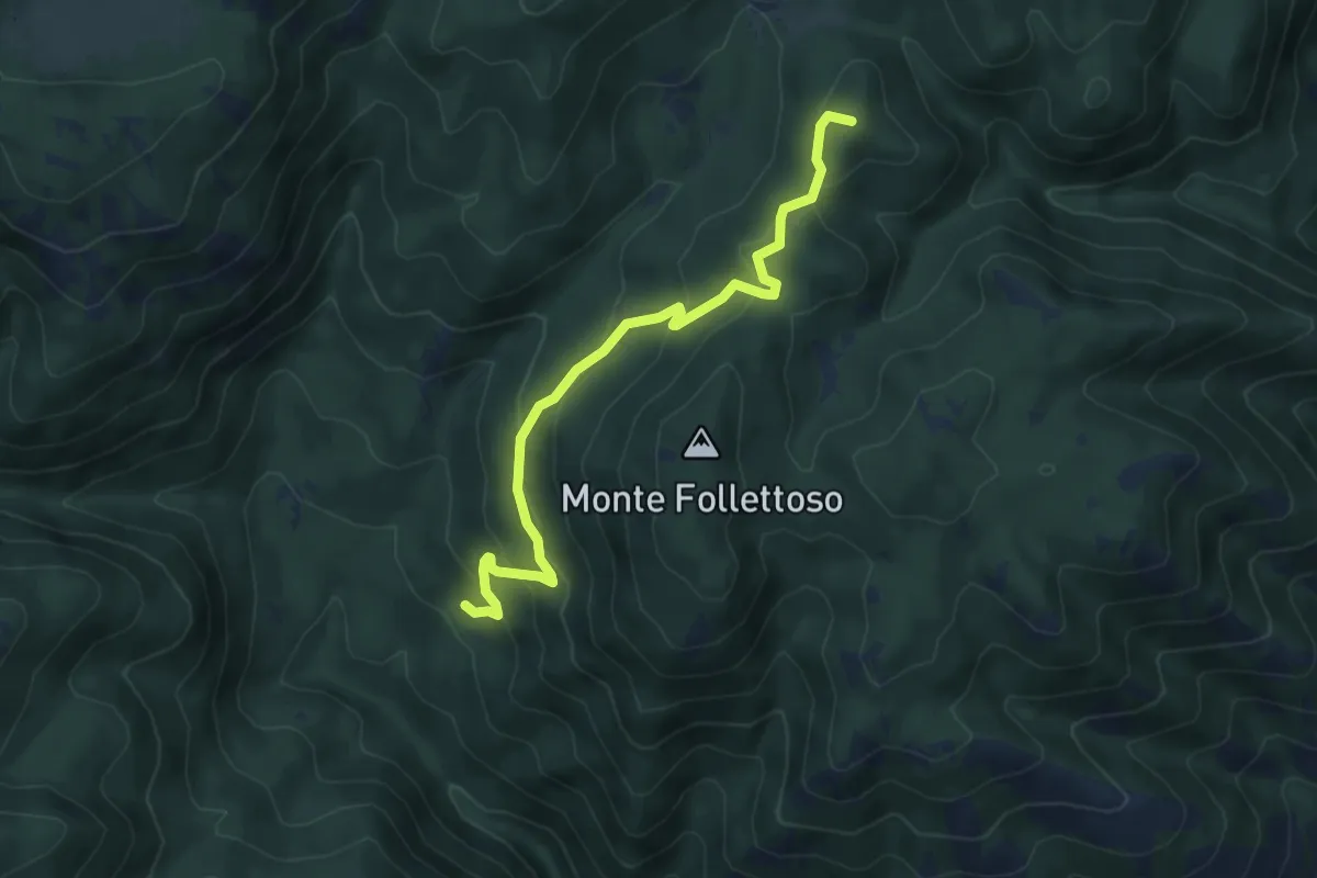
Medium · Summit
Fonte Fumiccia-Prato delle Forme
6.1 km · ↑ 337 m · 2 h 10 min · 8 km away
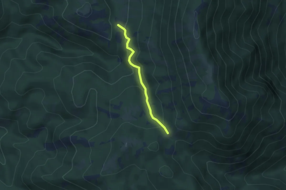
Medium · Trail
Valle del Prete-Forcella Pizzo Pellecchia
3.0 km · ↑ 203 m · 1 h 9 min · 8 km away
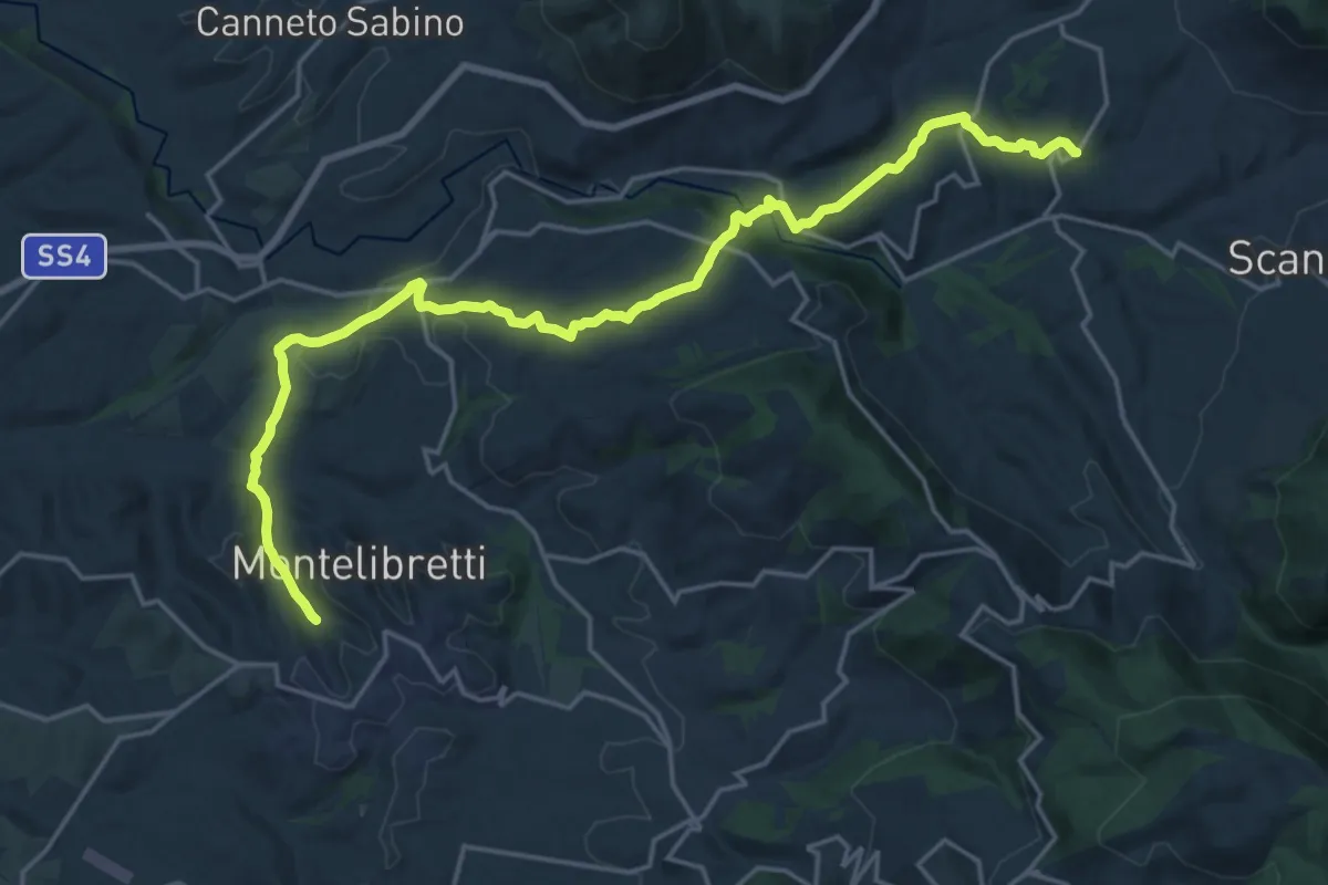
Demanding · Trail
PONTICELLI incrocio Via S. Maria del Colle - Via della Chiesa – MONTELIBRETTI incrocio Via Roma - Via Vignacce
24.1 km · ↑ 623 m · 7 h 3 min · 8 km away
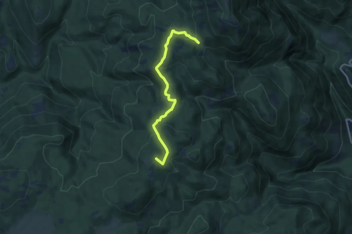
Easy · Summit
Campitello-Valle Lopa
7.2 km · ↑ 260 m · 2 h 16 min · 8 km away
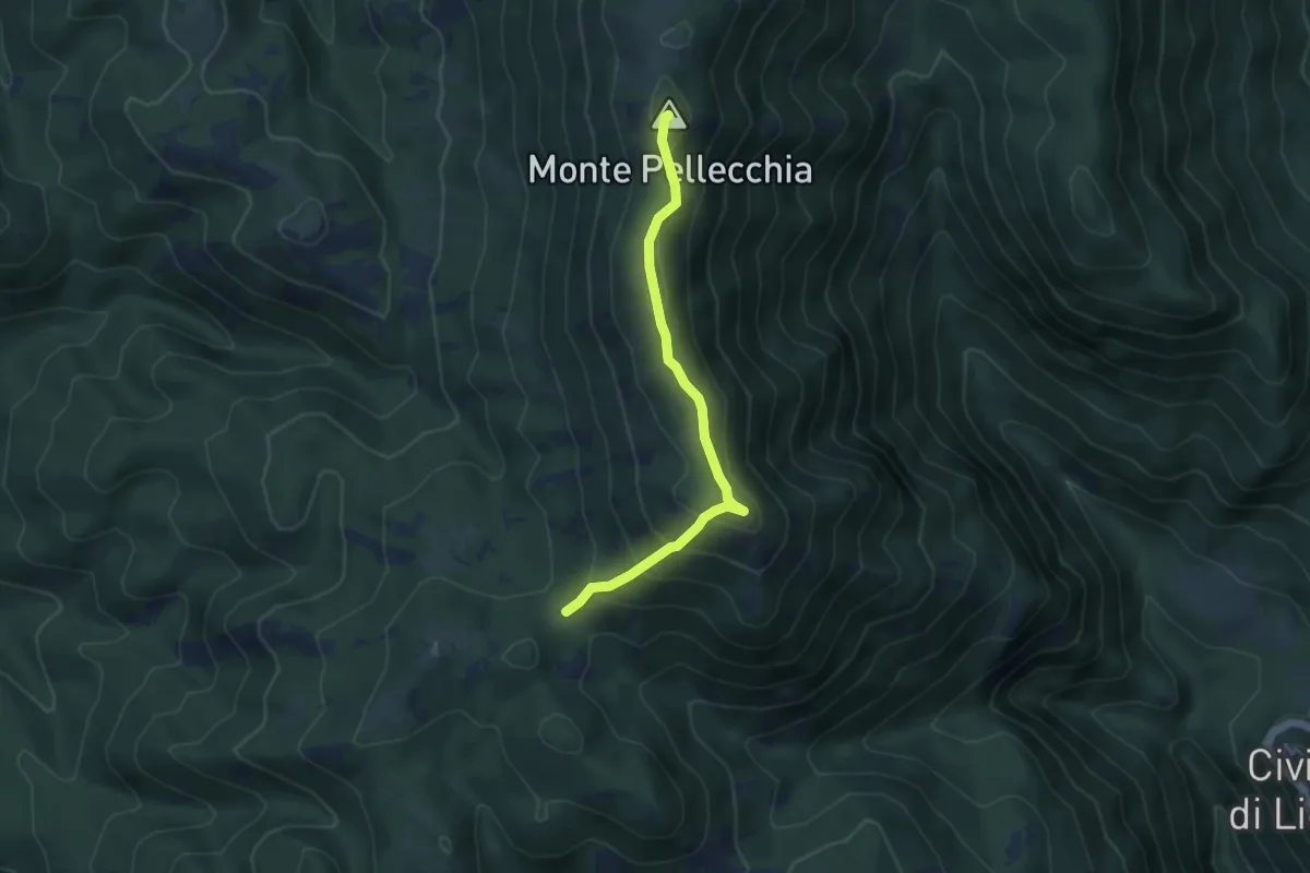
Easy · Summit
Forcella-M Pellecchia
4.6 km · ↑ 256 m · 1 h 39 min · 8 km away
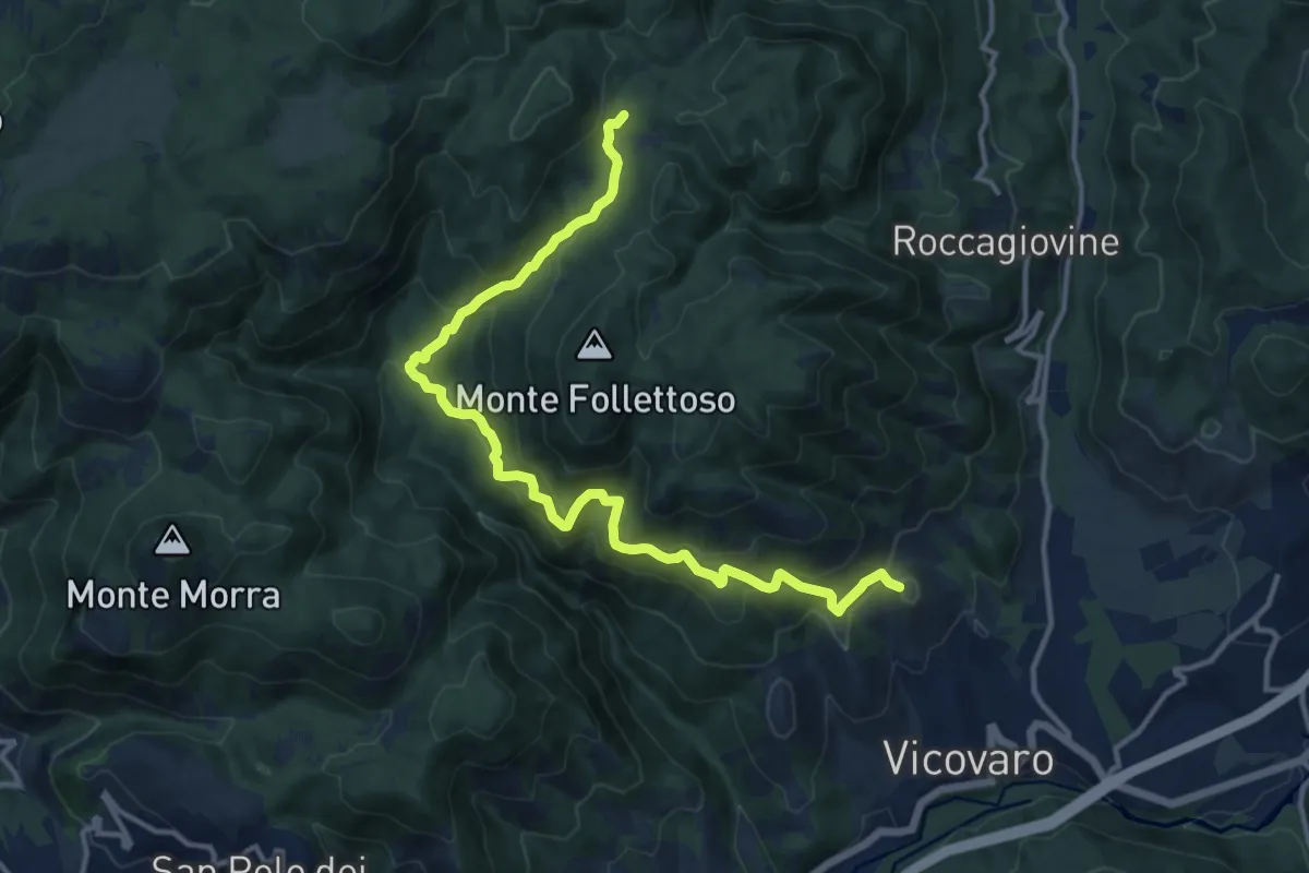
Demanding · Summit
Vicovaro - Mad. dei Ronci - Prato delle Forme
15.4 km · ↑ 864 m · 5 h 30 min · 9 km away
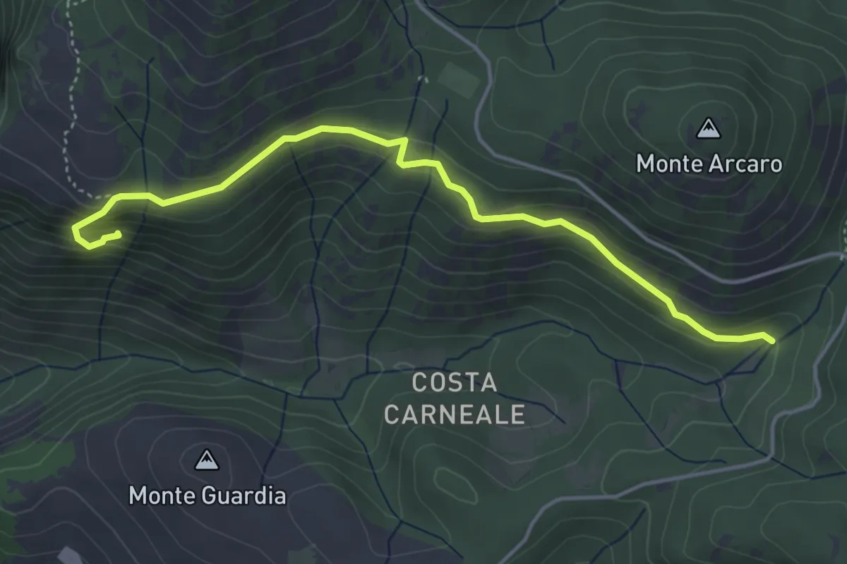
Expert · Trail
I Ghiacci-Conventillo
5.0 km · ↑ 217 m · 1 h 38 min · 9 km away
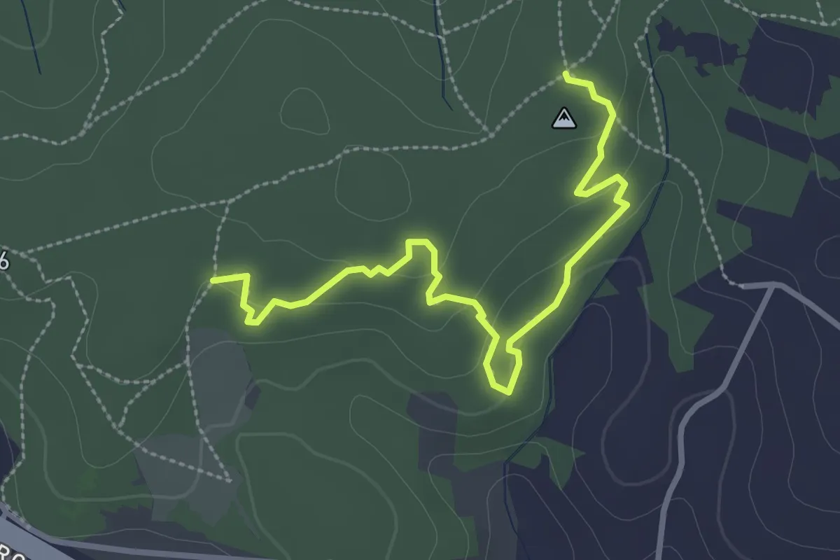
Easy · Trail
Sentiero delle Grotte
3.4 km · ↑ 94 m · 1 h 1 min · 9 km away
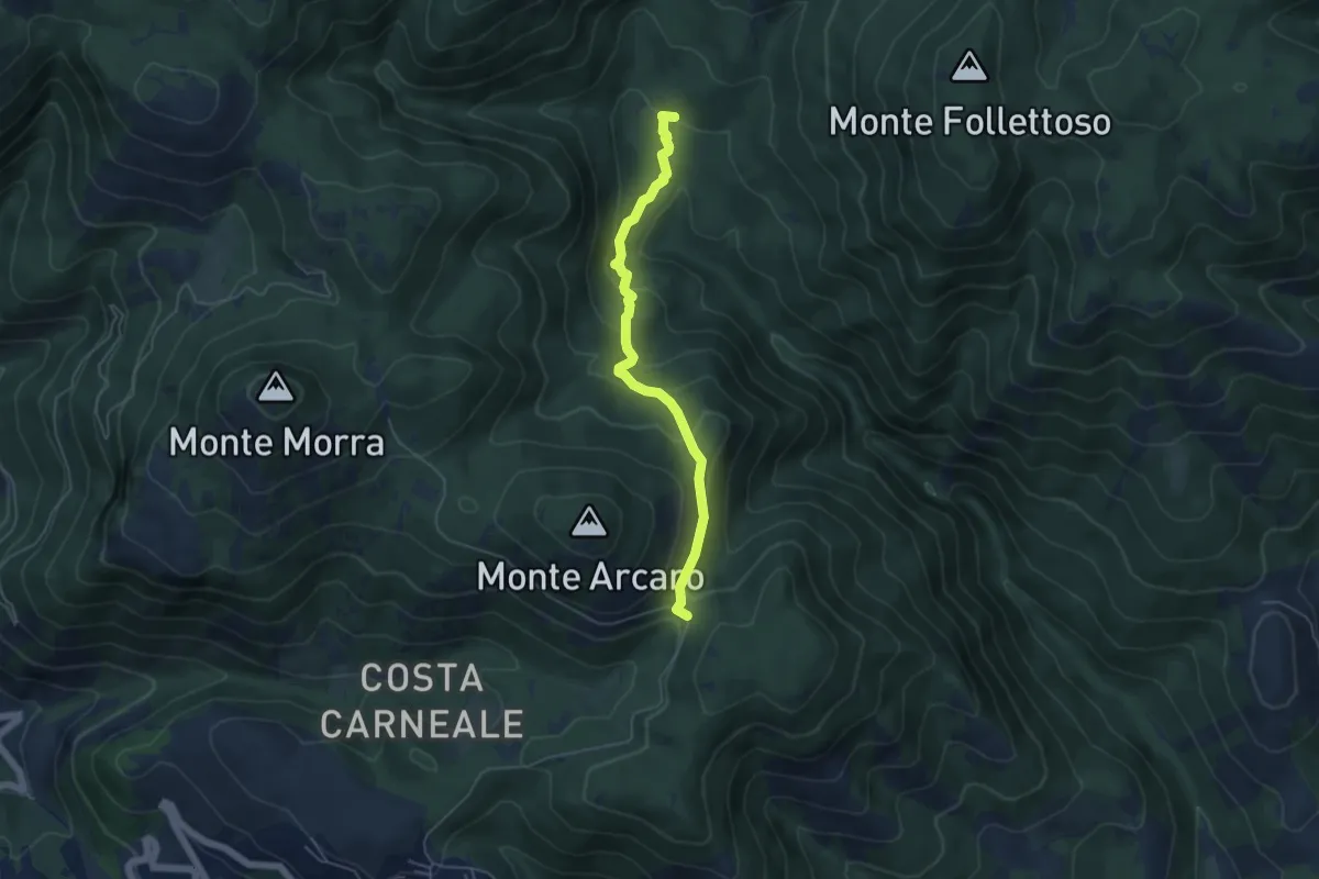
Easy · Trail
Fonte Longarina-Mad. dei Ronci
5.2 km · ↑ 282 m · 1 h 50 min · 9 km away
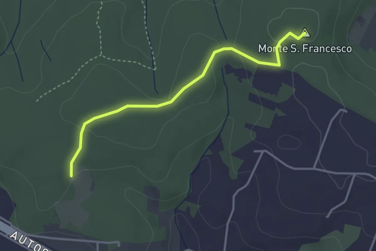
Easy · Summit
Sentiero Giallo
3.4 km · ↑ 57 m · 56 min · 9 km away
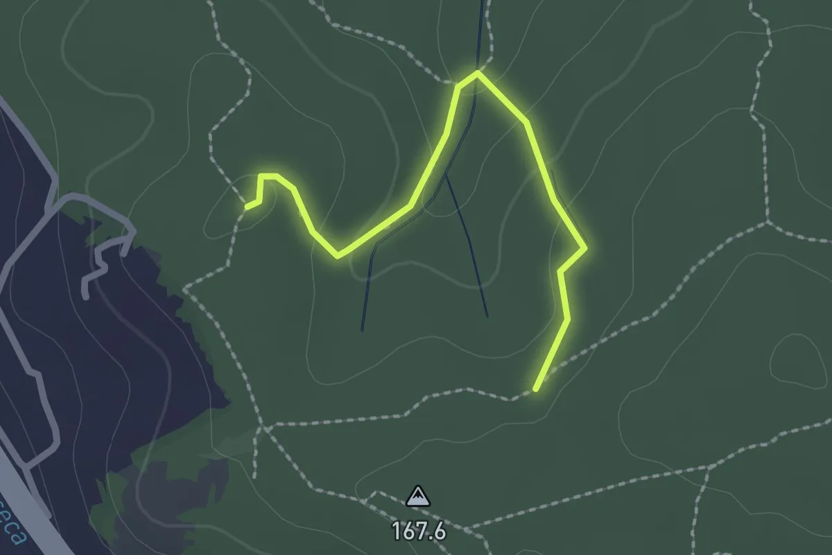
Easy · Trail
Bivio sentiero 439 – Bivio sentiero 438
2.2 km · ↑ 73 m · 40 min · 9 km away
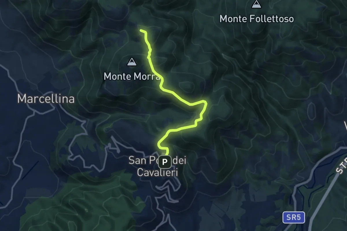
Medium · Summit
San Polo dei Cavalieri – Pratone
10.0 km · ↑ 356 m · 3 h 8 min · 9 km away
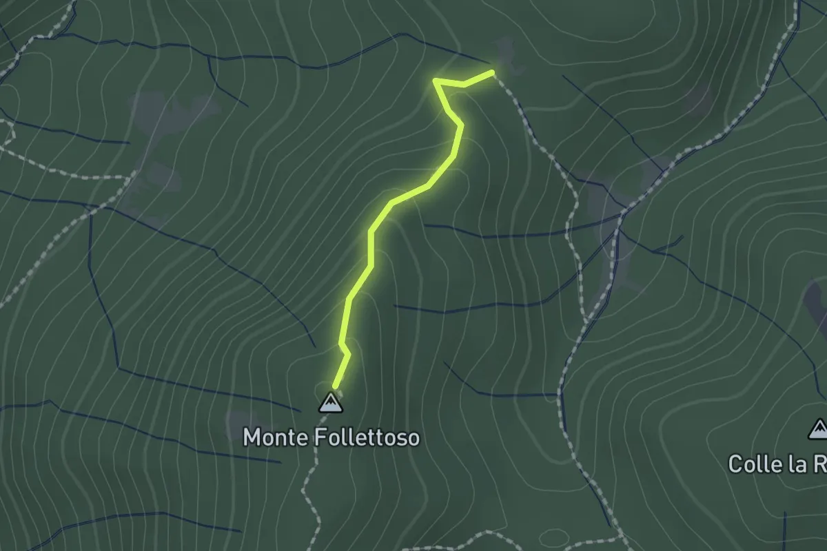
Easy · Summit
Monte Follettoso
1.3 km · ↑ 84 m · 29 min · 9 km away
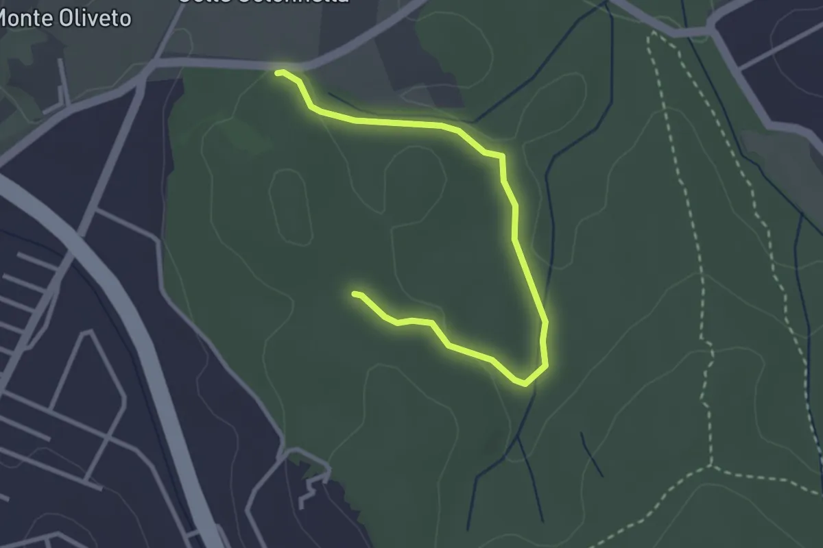
Easy · Trail
Ingresso Strada Provinciale – Incrocio con il sentiero 438
3.3 km · ↑ 49 m · 54 min · 9 km away
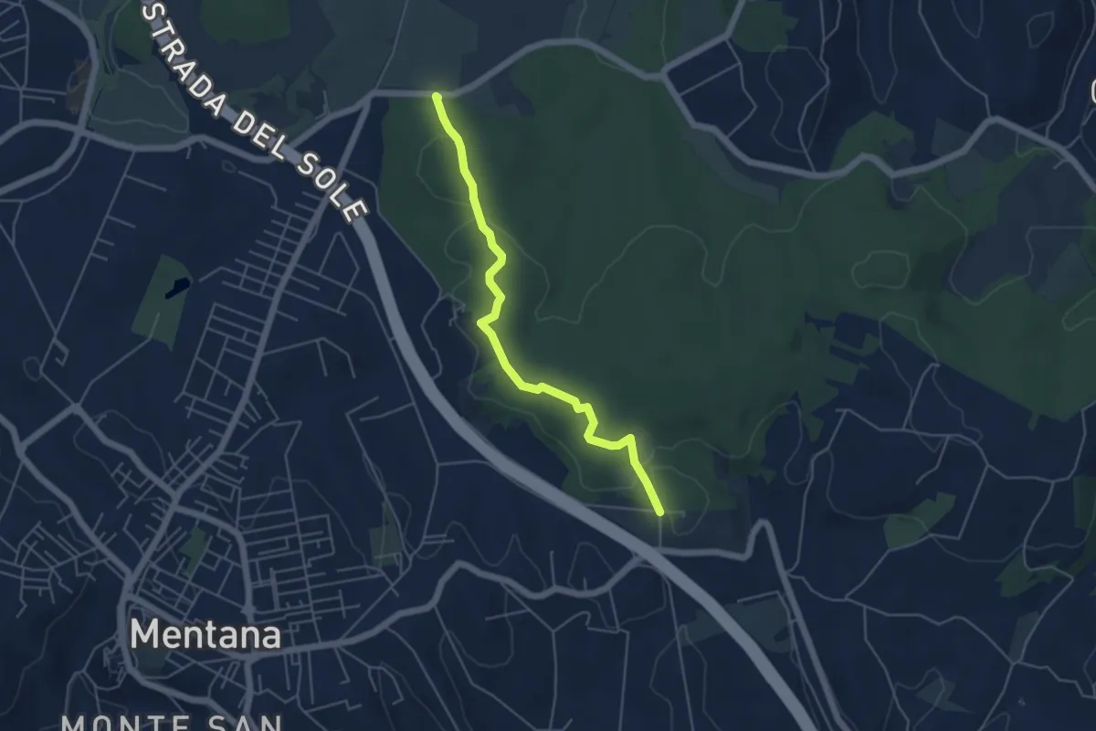
Easy · Trail
Percorso Blu
5.2 km · ↑ 58 m · 1 h 22 min · 9 km away
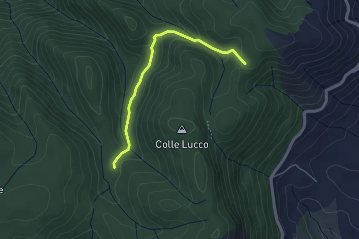
Easy · Cabin
Rifugio Fonte Bologna – Incr. Sentiero 331
3.8 km · ↑ 126 m · 1 h 11 min · 9 km away
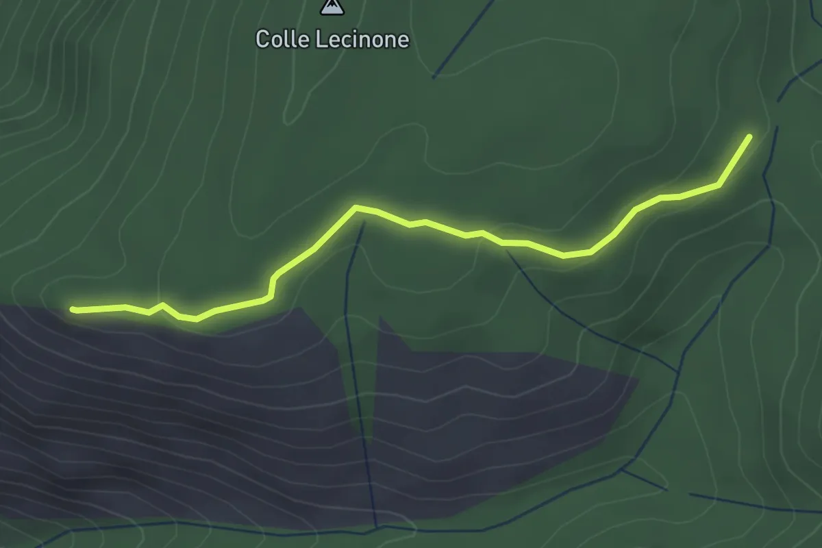
Easy · Summit
Quadrivio-Monte Sterparo
3.4 km · ↑ 82 m · 59 min · 10 km away
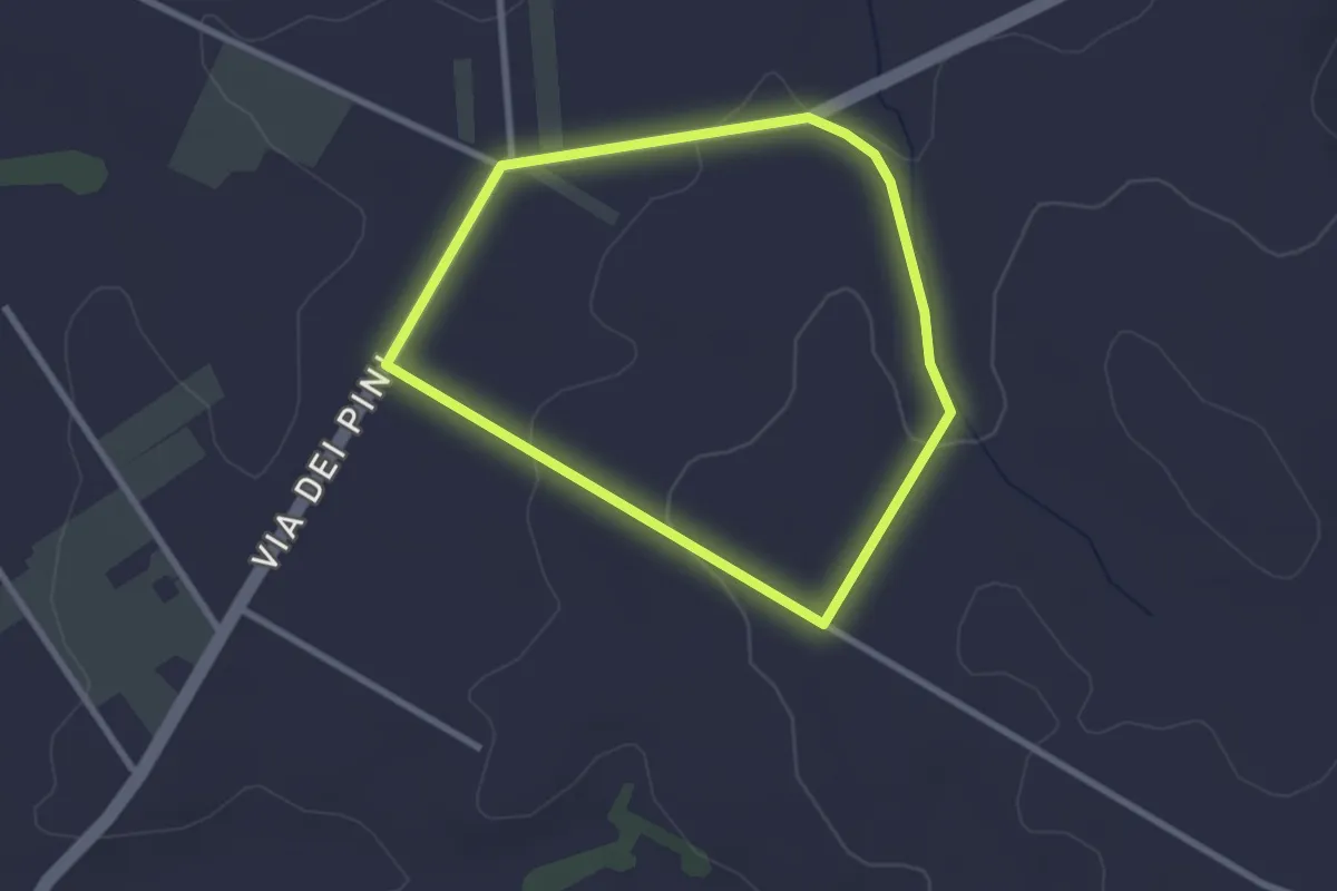
Easy · Trail
Percorso del Garibaldino
2.6 km · ↑ 47 m · 45 min · 10 km away
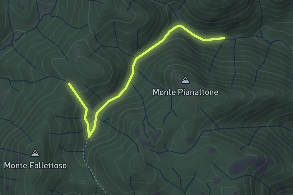
Easy · Trail
Stretta Vallicina
3.6 km · ↑ 167 m · 1 h 13 min · 10 km away
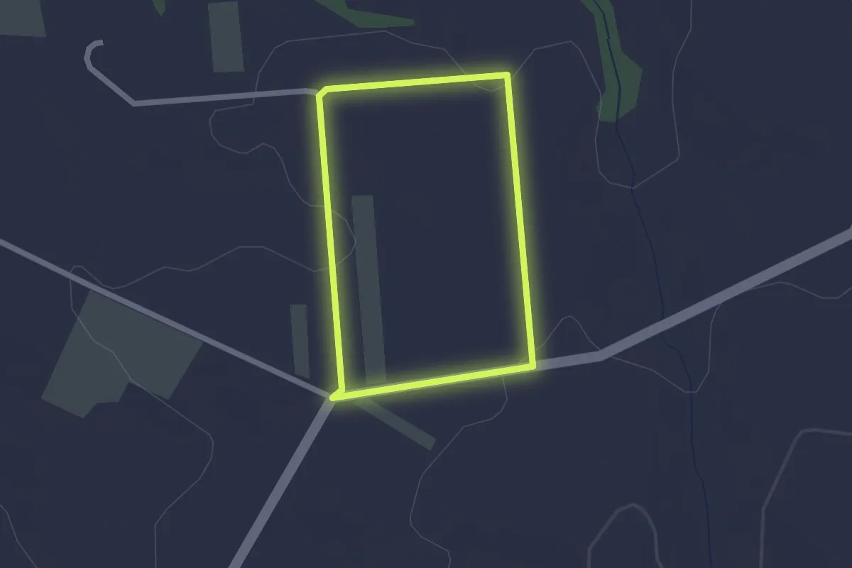
Easy · Trail
Percorso del Miele
1.8 km · ↑ 22 m · 30 min · 10 km away
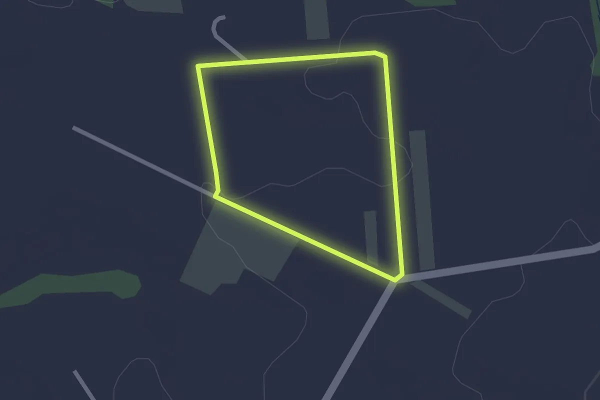
Easy · Trail
Percorso dei Salici
1.8 km · ↑ 23 m · 30 min · 10 km away
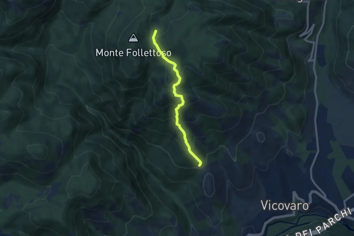
Medium · Trail
Sent. Anita
5.7 km · ↑ 486 m · 2 h 24 min · 11 km away
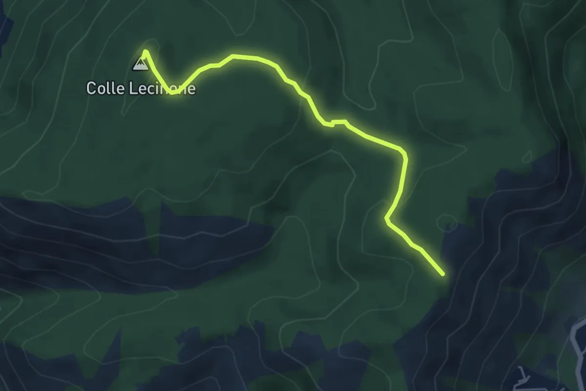
Easy · Summit
Colle Lecinone-Colle dei Travi
4.8 km · ↑ 165 m · 1 h 30 min · 11 km away
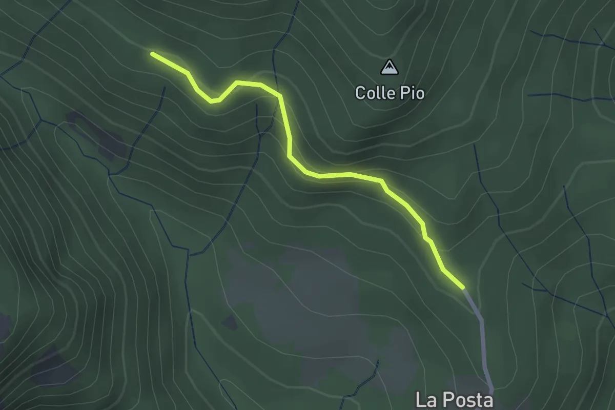
Expert · Trail
Sentiero dell'Aquila
2.2 km · ↑ 133 m · 48 min · 11 km away