Trails near Palombara Sabina
93 hikes starting within 15 km, nearest first.
Nearest first, page 2 of 2
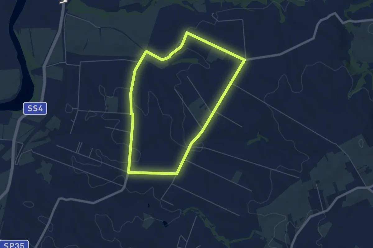
Easy · Trail
Percorso dei Cavalli Bianchi
5.8 km · ↑ 61 m · 1 h 35 min · 11 km away
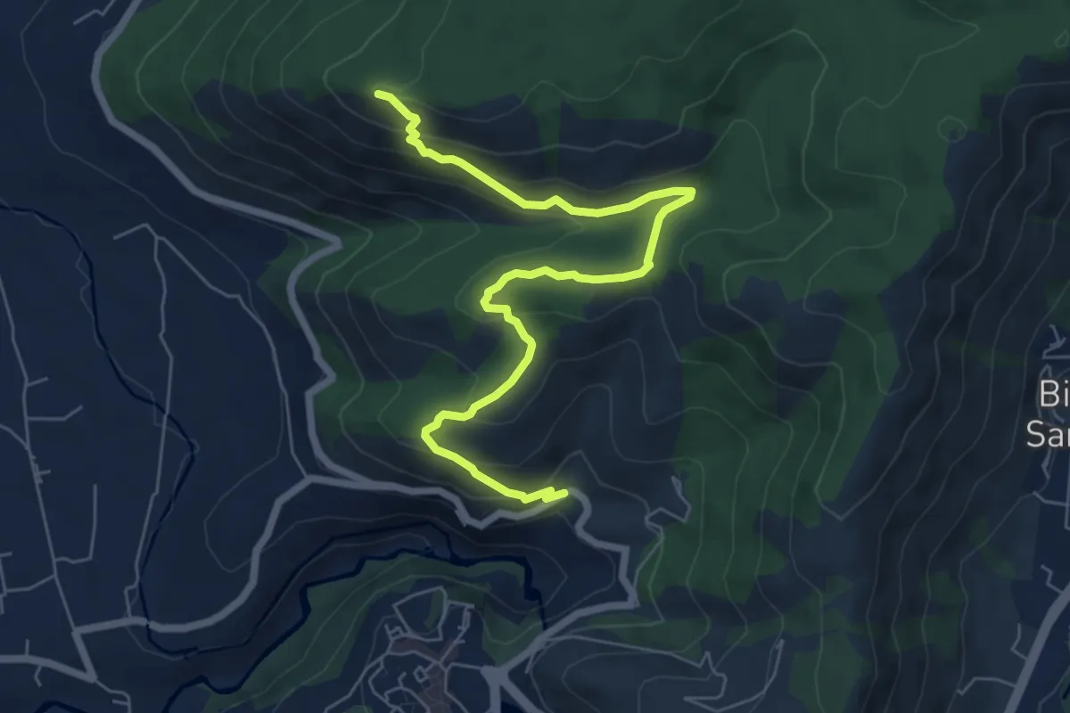
Medium · Summit
Sentiero Fantini St. SP30a Ex casello Ferroviario-Monte Sterparo
7.7 km · ↑ 411 m · 2 h 43 min · 11 km away
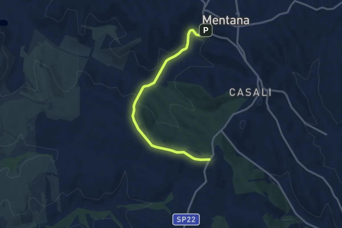
Easy · Trail
Piazzale Selva dei Cavalieri – Centro storico Mentana
7.5 km · ↑ 192 m · 2 h 11 min · 11 km away
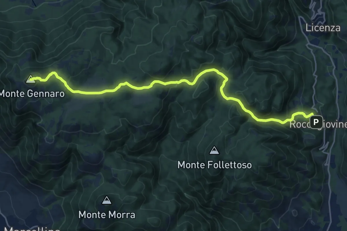
Demanding · Summit
Roccagiovine – Monte Gennaro
19.5 km · ↑ 942 m · 6 h 39 min · 11 km away
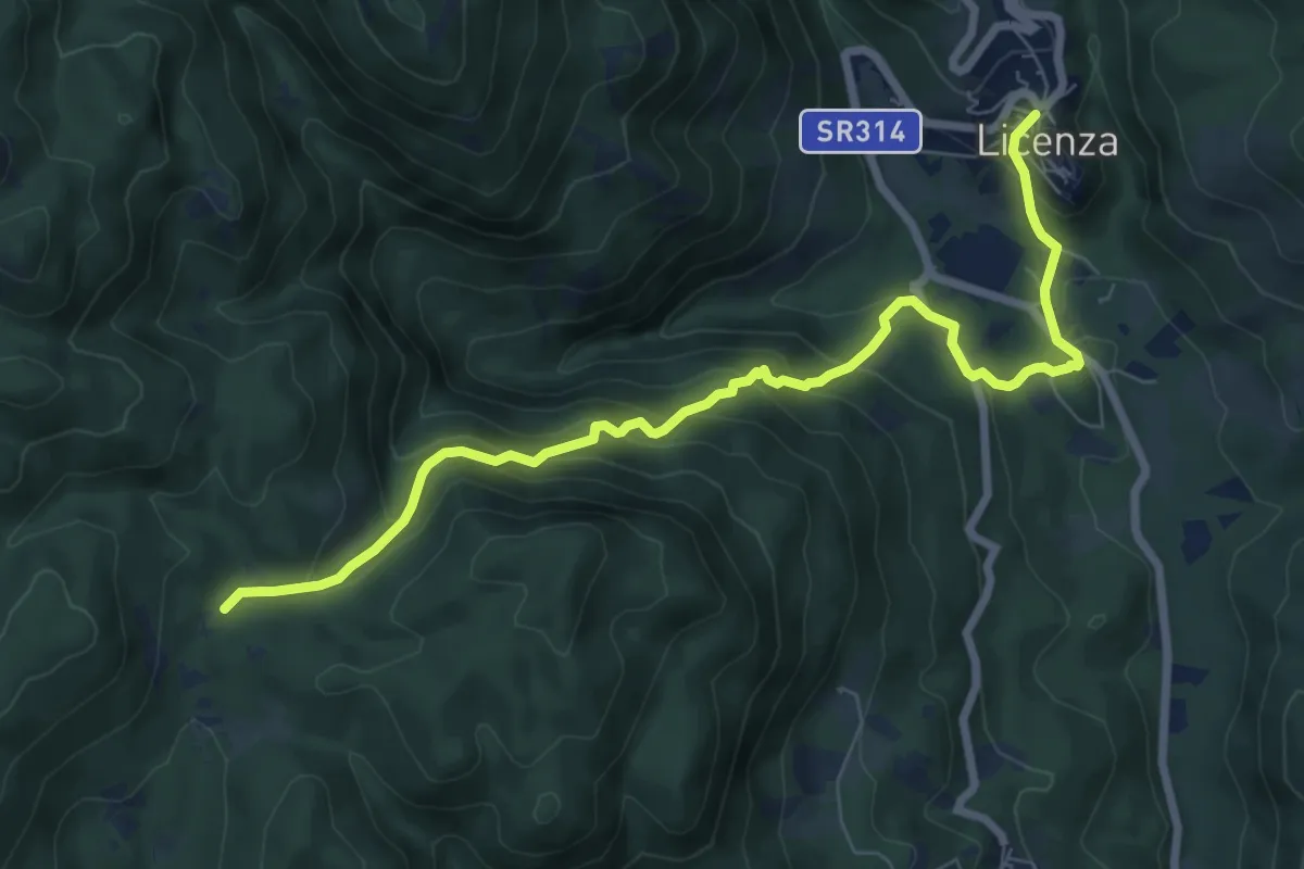
Expert · Trail
Licenza-Fosso di Vena Scritta
8.9 km · ↑ 586 m · 3 h 23 min · 11 km away
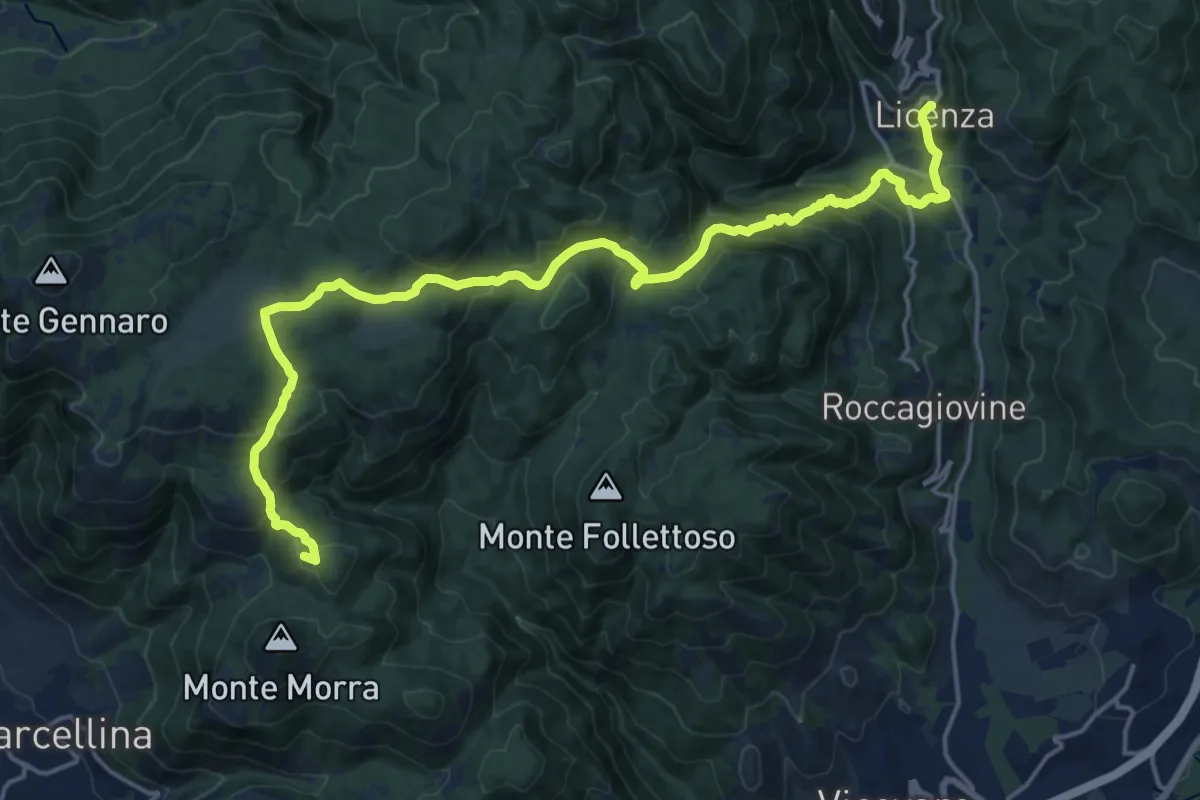
Expert · Summit
Cammino della Sibilla - Tappa 5
22.6 km · ↑ 1143 m · 7 h 48 min · 11 km away
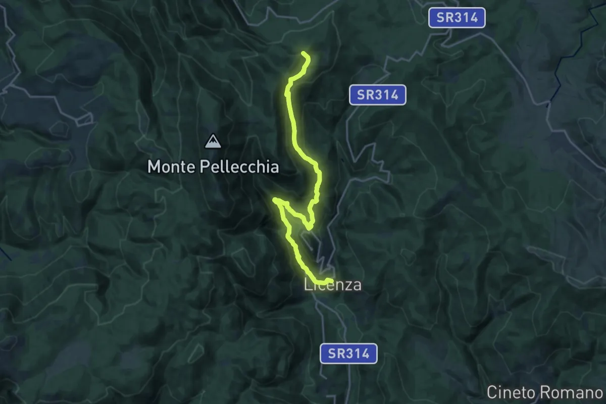
Demanding · Summit
Cammino della Sibilla - Tappa 4
18.2 km · ↑ 902 m · 6 h 15 min · 11 km away
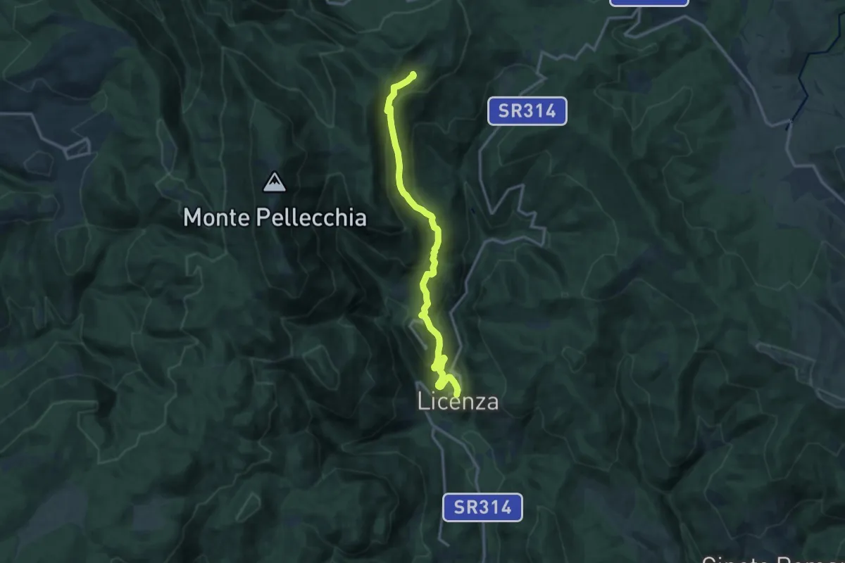
Medium · Trail
Licenza - Casale Bruciato
13.7 km · ↑ 647 m · 4 h 38 min · 11 km away
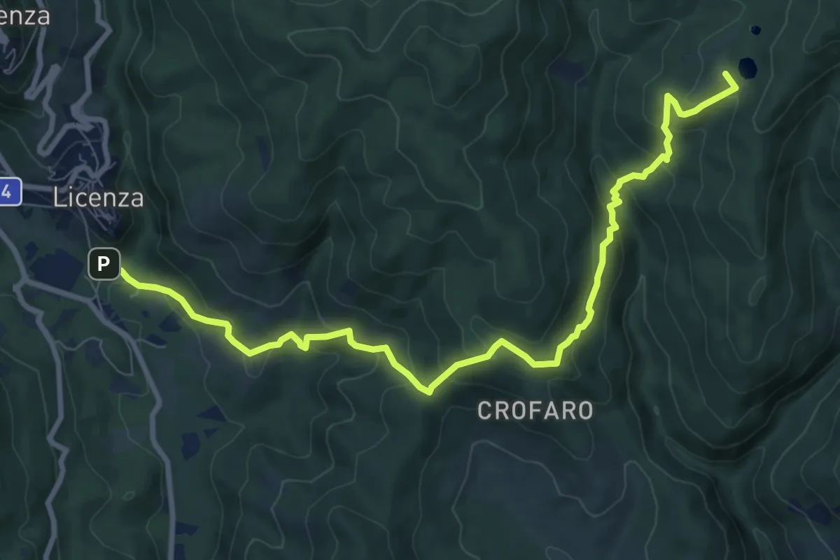
Medium · Summit
Licenza – Laghetti di Percile
10.6 km · ↑ 587 m · 3 h 46 min · 11 km away
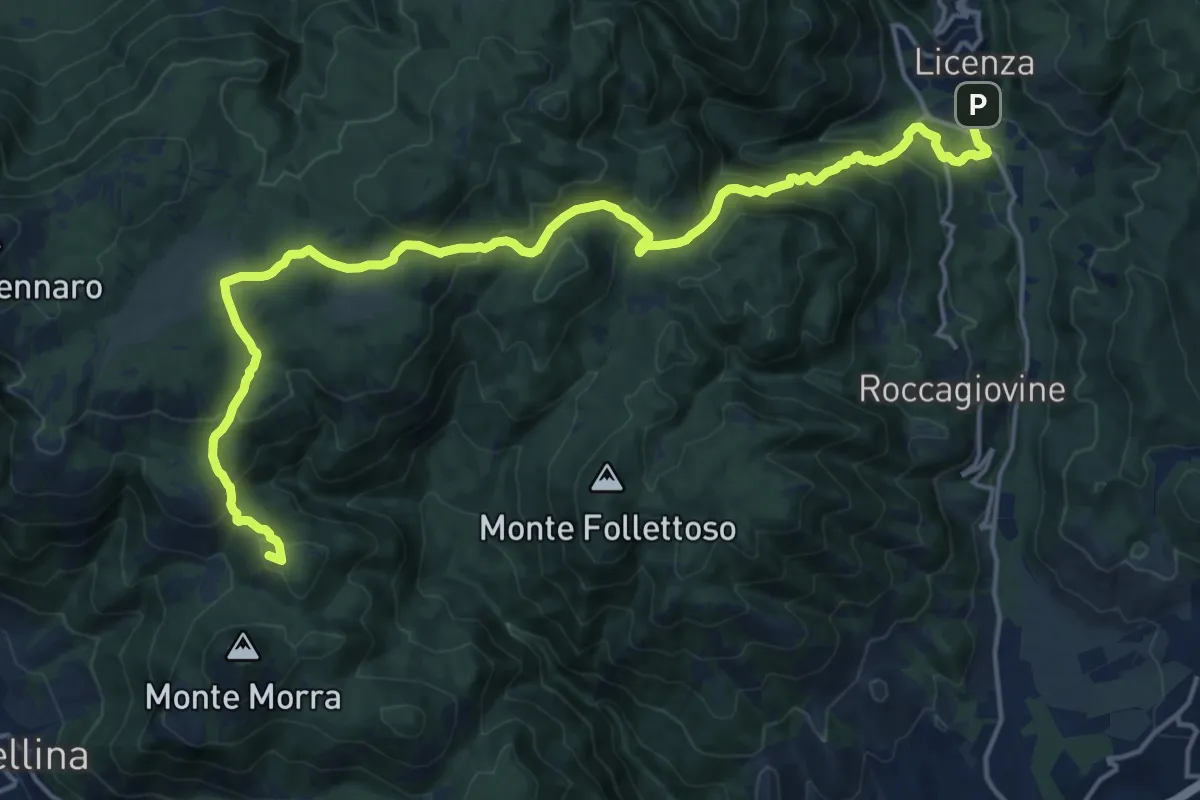
Expert · Summit
Sentiero Coleman - Tappa 6
21.6 km · ↑ 1092 m · 7 h 27 min · 11 km away
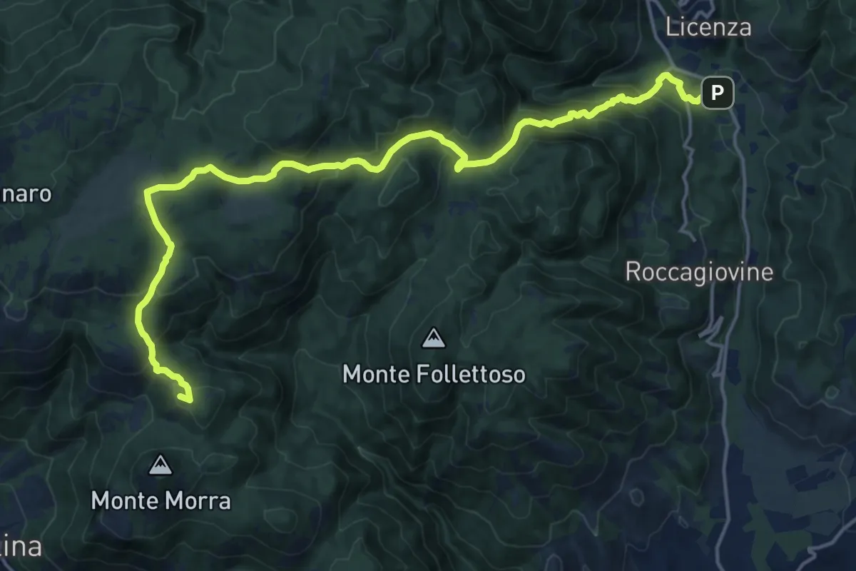
Expert · Summit
Via dei Lupi - Tappa 02
20.7 km · ↑ 1066 m · 7 h 12 min · 11 km away
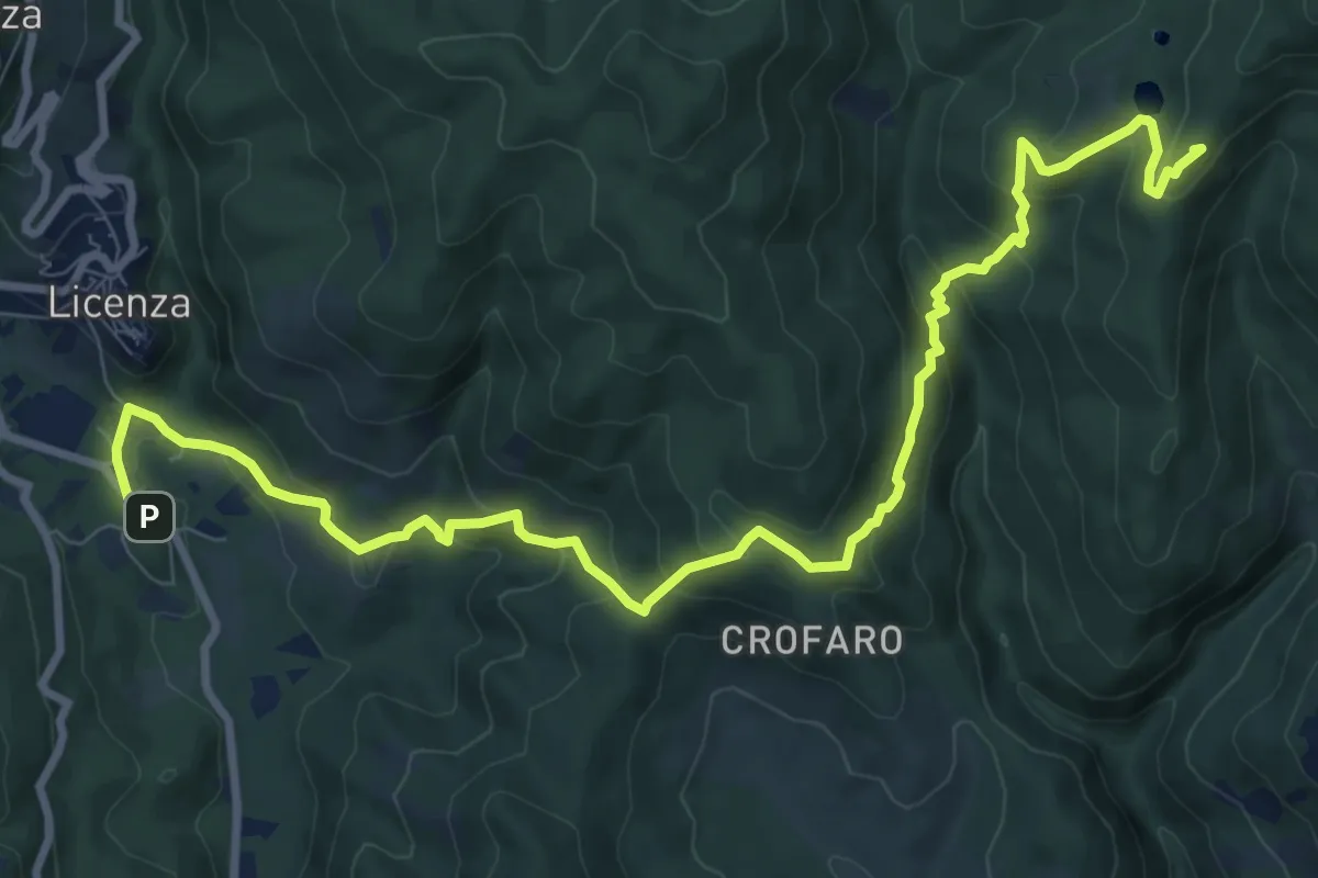
Medium · Summit
Via dei Lupi - Tappa 03
12.4 km · ↑ 625 m · 4 h 17 min · 11 km away
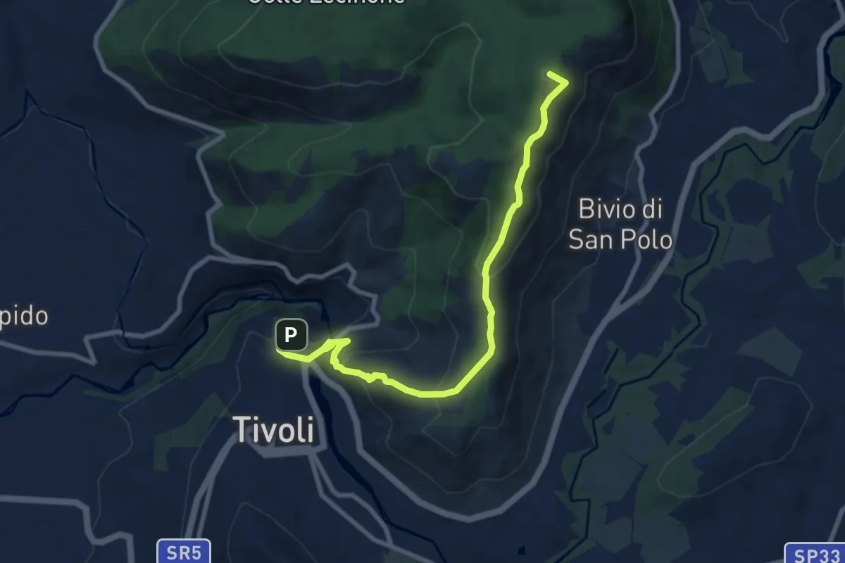
Medium · Summit
Cammino della Sibilla - Tappa 6
8.9 km · ↑ 459 m · 3 h 5 min · 11 km away
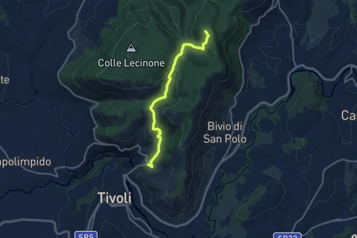
Medium · Summit
Bivio Hotel S. Angelo – San Polo dei Cavalieri
8.5 km · ↑ 425 m · 2 h 55 min · 12 km away
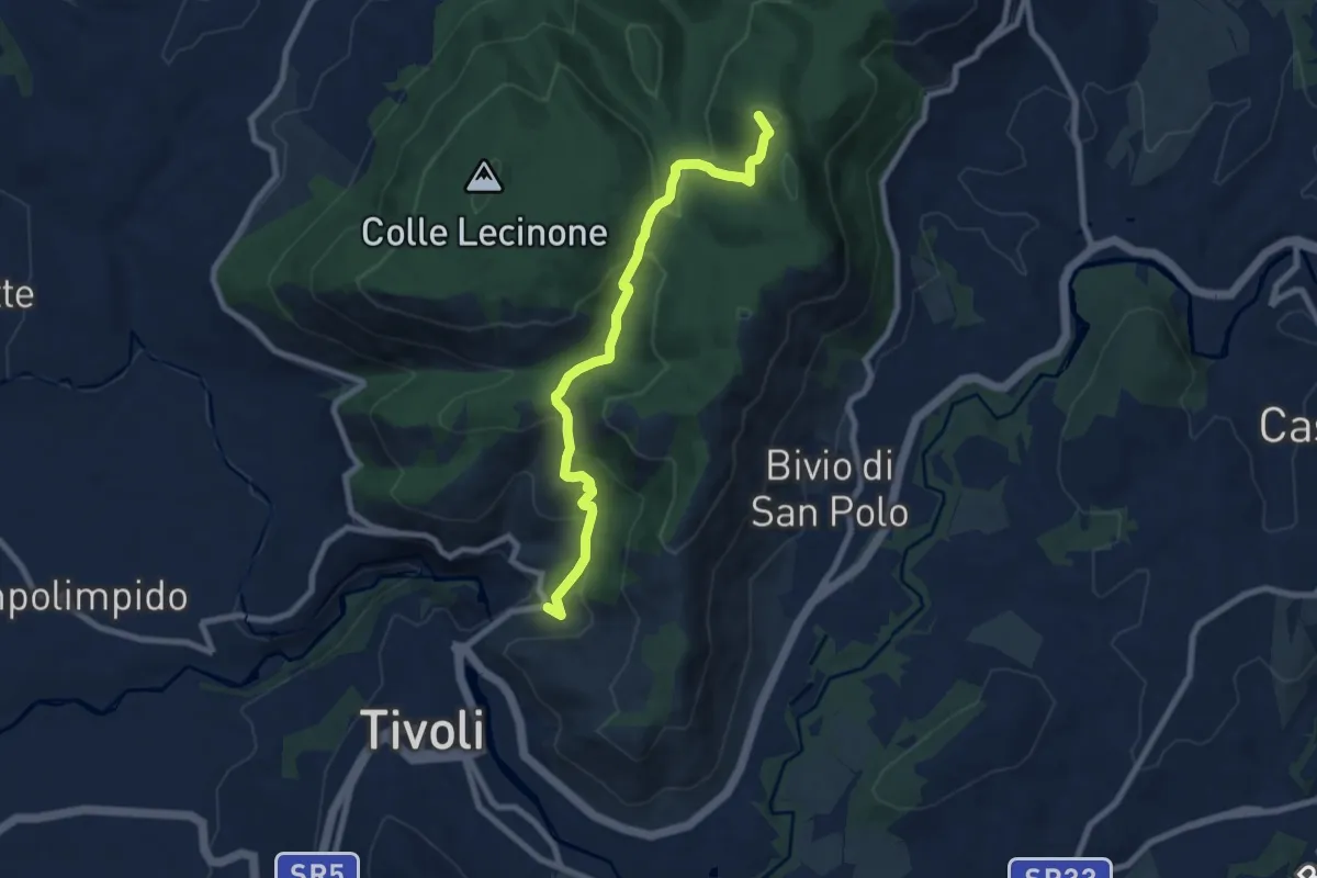
Medium · Summit
Sentiero Coleman - Tappa 7
8.5 km · ↑ 425 m · 2 h 55 min · 12 km away
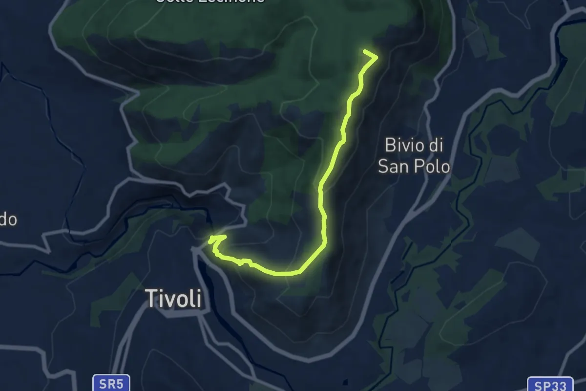
Medium · Summit
Via dei Lupi - Tappa 01
7.8 km · ↑ 414 m · 2 h 44 min · 12 km away
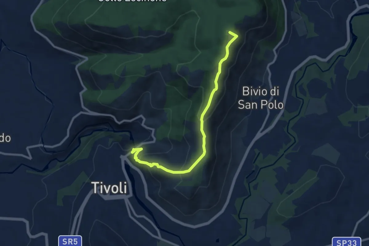
Medium · Summit
Tivoli-Colle Cucco
7.8 km · ↑ 414 m · 2 h 44 min · 12 km away
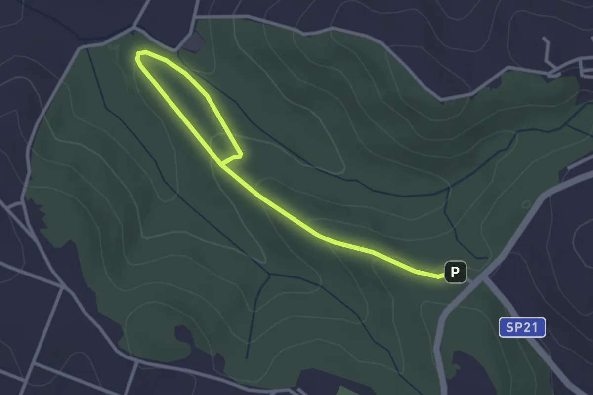
Easy · Trail
491 Sentiero di Collelungo
3.7 km · ↑ 131 m · 1 h 9 min · 12 km away
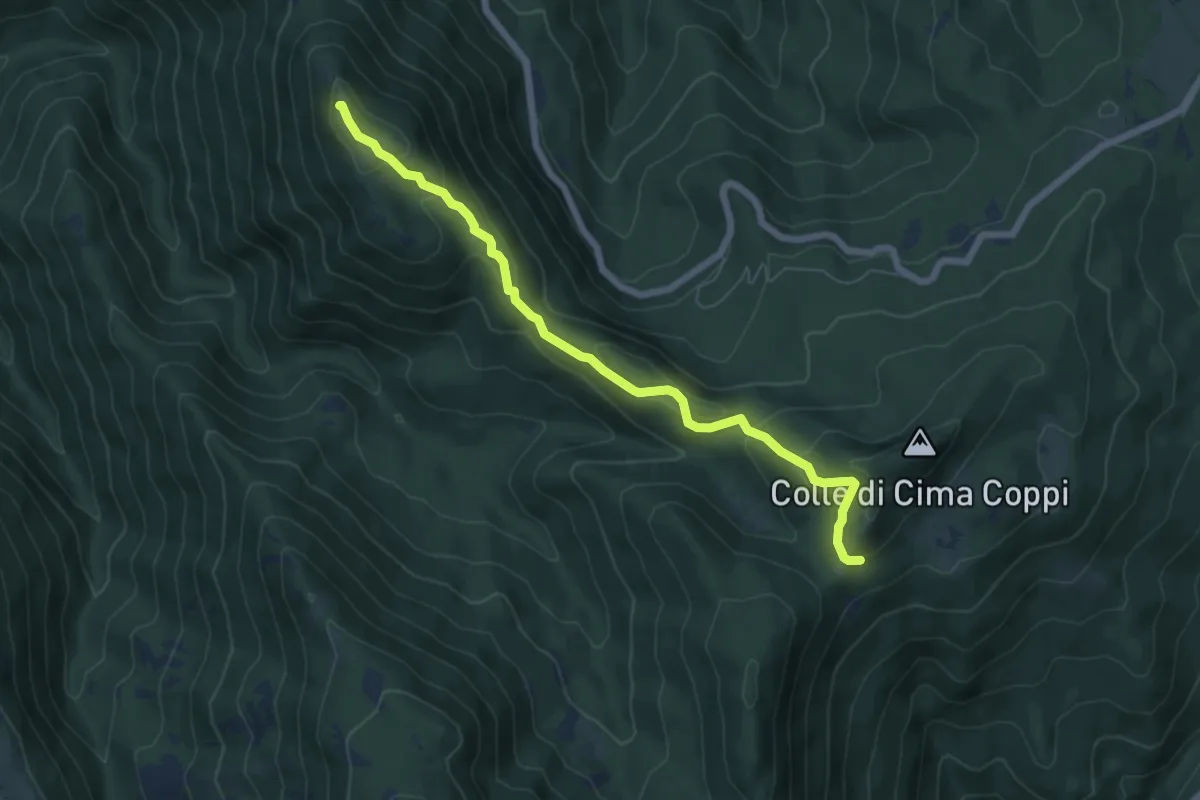
Medium · Summit
Serrapopolo-Casale Bruciato
6.8 km · ↑ 367 m · 2 h 25 min · 12 km away
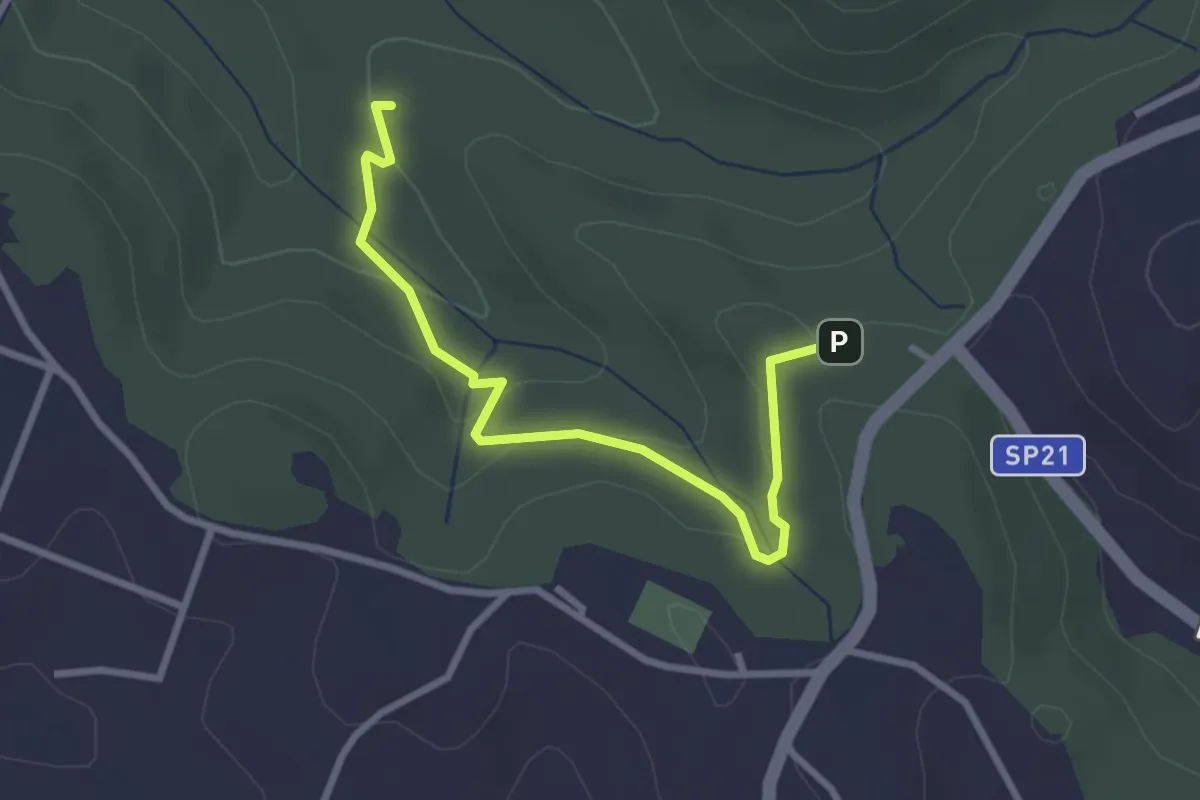
Easy · Trail
Incrocio sentiero 491 vicino ingresso Riserva – Fontanile di Collelungo
3.3 km · ↑ 96 m · 59 min · 12 km away
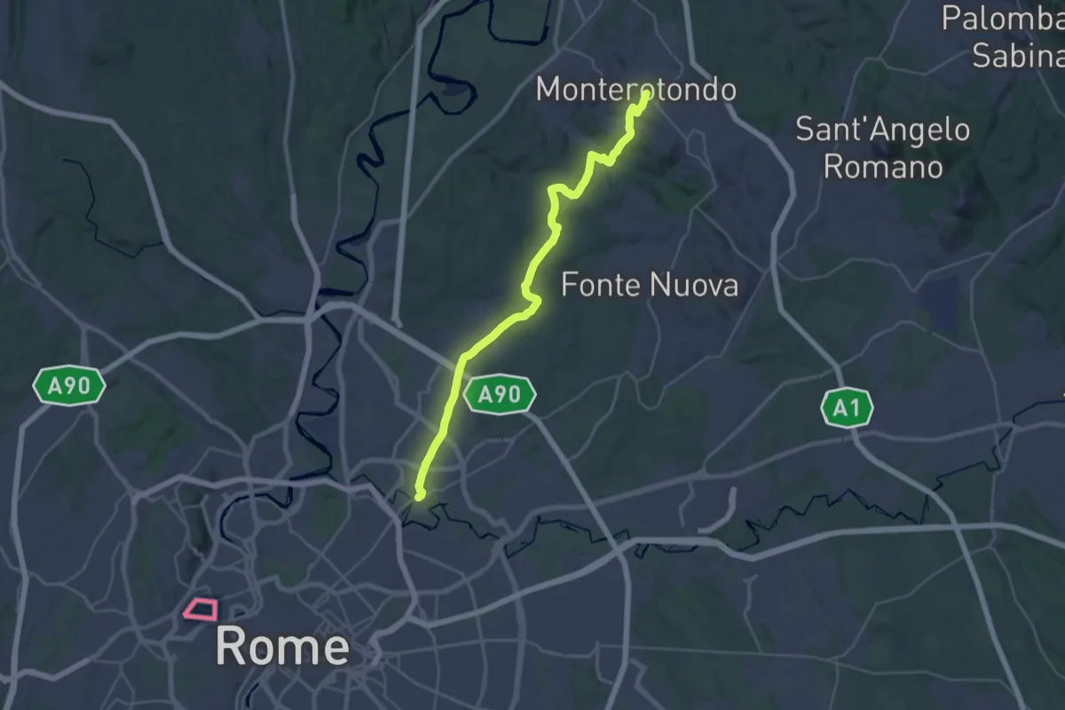
Medium · Trail
Monterotondo – Roma Monte Sacro
17.9 km · ↑ 259 m · 5 h 6 min · 12 km away
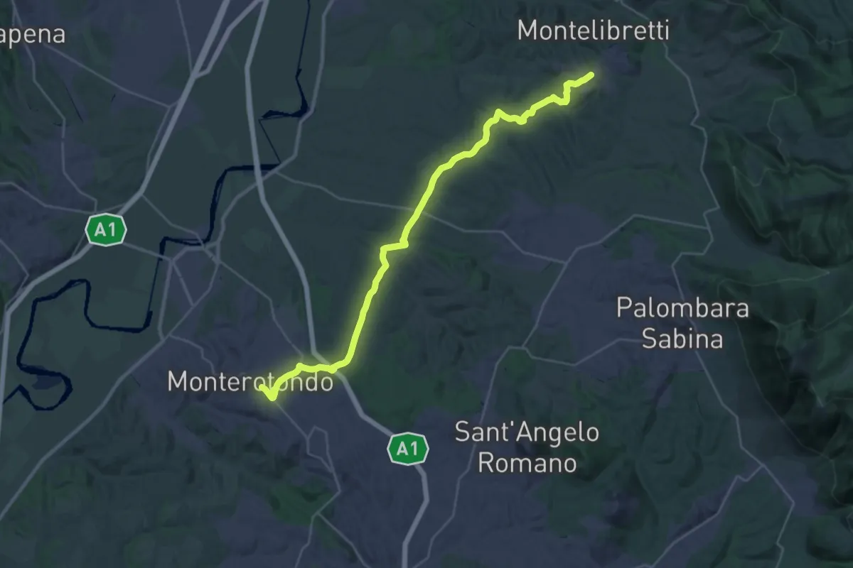
Medium · Trail
Montelibretti – Monterotondo
16.4 km · ↑ 287 m · 4 h 40 min · 12 km away
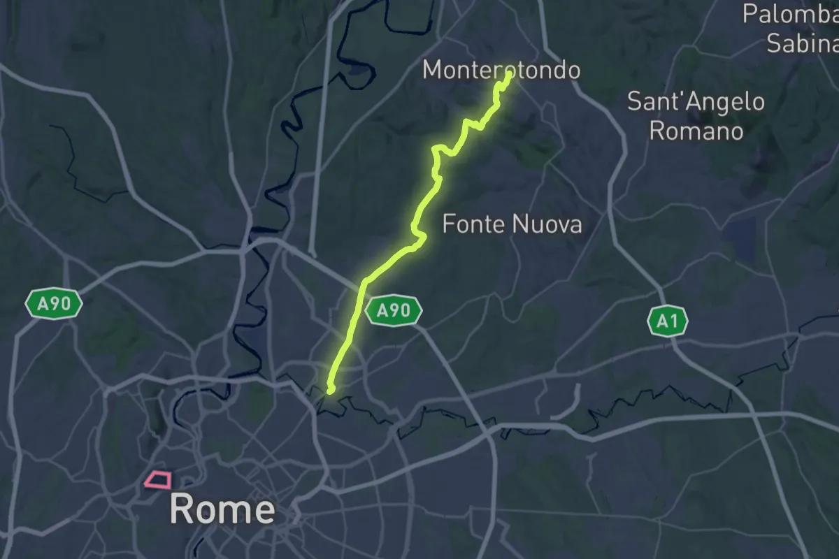
Medium · Trail
Via di Francesco - Tappa 21
17.9 km · ↑ 253 m · 5 h 5 min · 12 km away
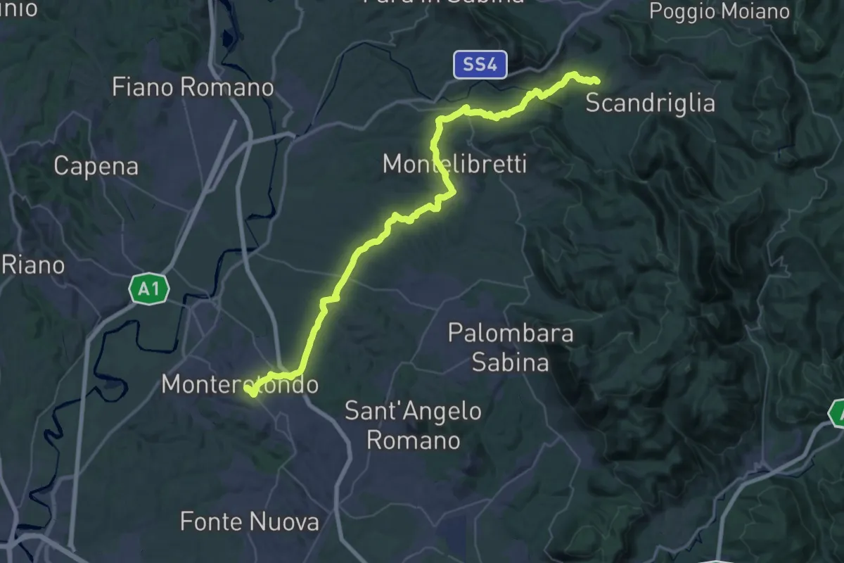
Demanding · Trail
Via di Francesco - Tappa 20
29.4 km · ↑ 691 m · 8 h 45 min · 12 km away
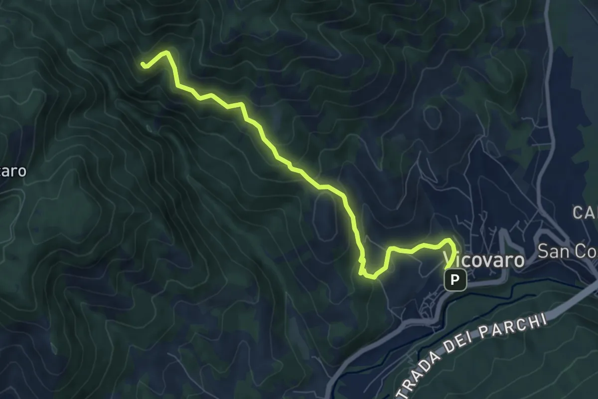
Medium · Trail
Vicovaro - Fosso di S. Martino
8.7 km · ↑ 464 m · 3 h 3 min · 12 km away
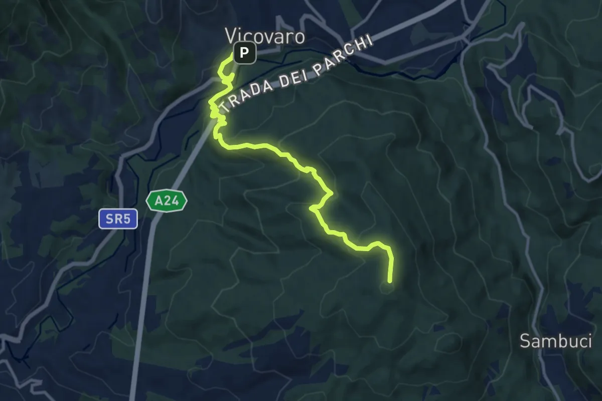
Medium · Summit
Vicovaro, largo Aldo Moro – Colle Cerrito Piano
11.1 km · ↑ 611 m · 3 h 57 min · 12 km away
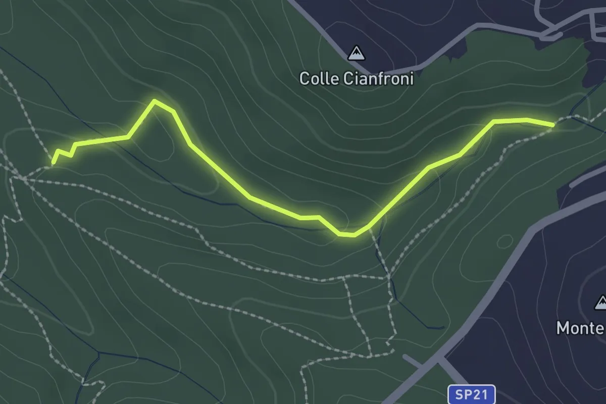
Easy · Trail
Sentiero di Casali variante 491C
2.5 km · ↑ 72 m · 45 min · 12 km away
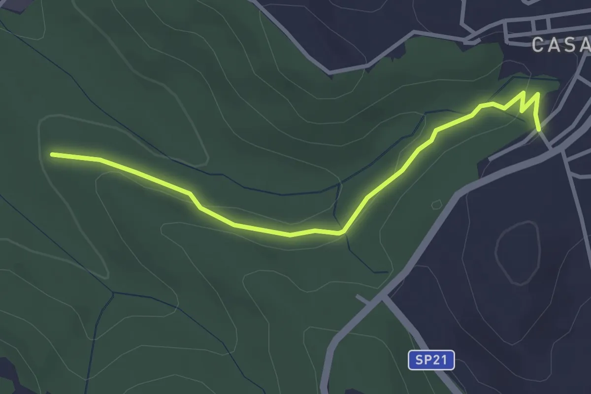
Easy · Trail
Fontanile di Collelungo – Località Romitorio Casali di Mentana
3.2 km · ↑ 74 m · 55 min · 12 km away
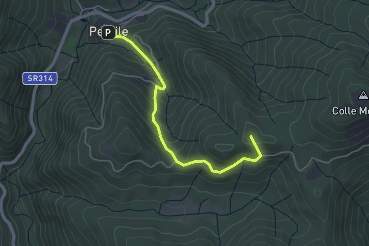
Easy · Summit
Percile – Laghetti di Percile
4.0 km · ↑ 248 m · 1 h 30 min · 12 km away
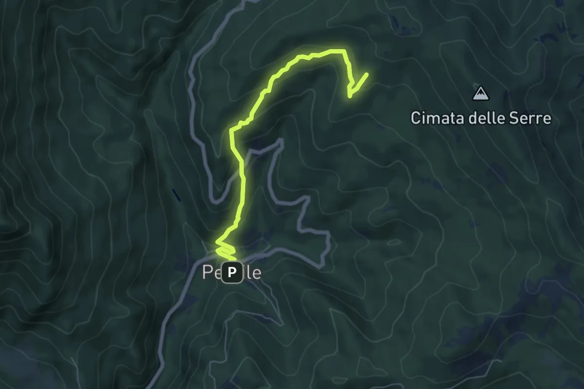
Medium · Summit
Percile – Colle Serre
6.6 km · ↑ 389 m · 2 h 24 min · 12 km away
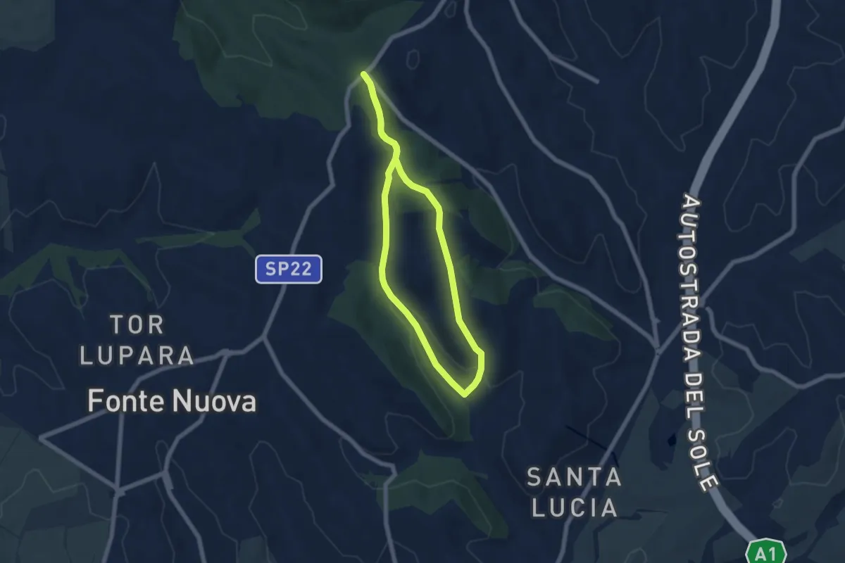
Easy · Trail
Via Nomentana di fronte Welcome Area – Via Nomentana di fronte Welcome Area
5.5 km · ↑ 130 m · 1 h 39 min · 12 km away
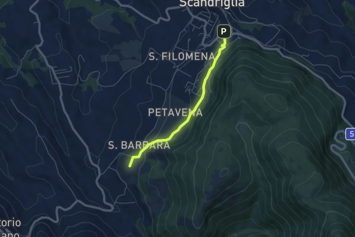
Easy · Summit
Scandriglia-Sorg. Capore
4.9 km · ↑ 198 m · 1 h 35 min · 12 km away
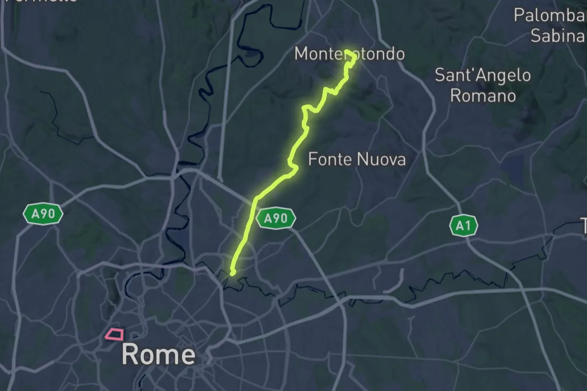
Demanding · Trail
Via di Francesco/Via del SUD - Tappa 2
18.5 km · ↑ 245 m · 5 h 13 min · 12 km away
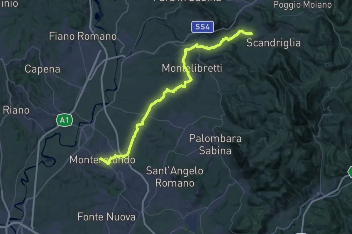
Demanding · Trail
Via di Francesco/Via del SUD - Tappa 3
30.0 km · ↑ 690 m · 8 h 54 min · 12 km away
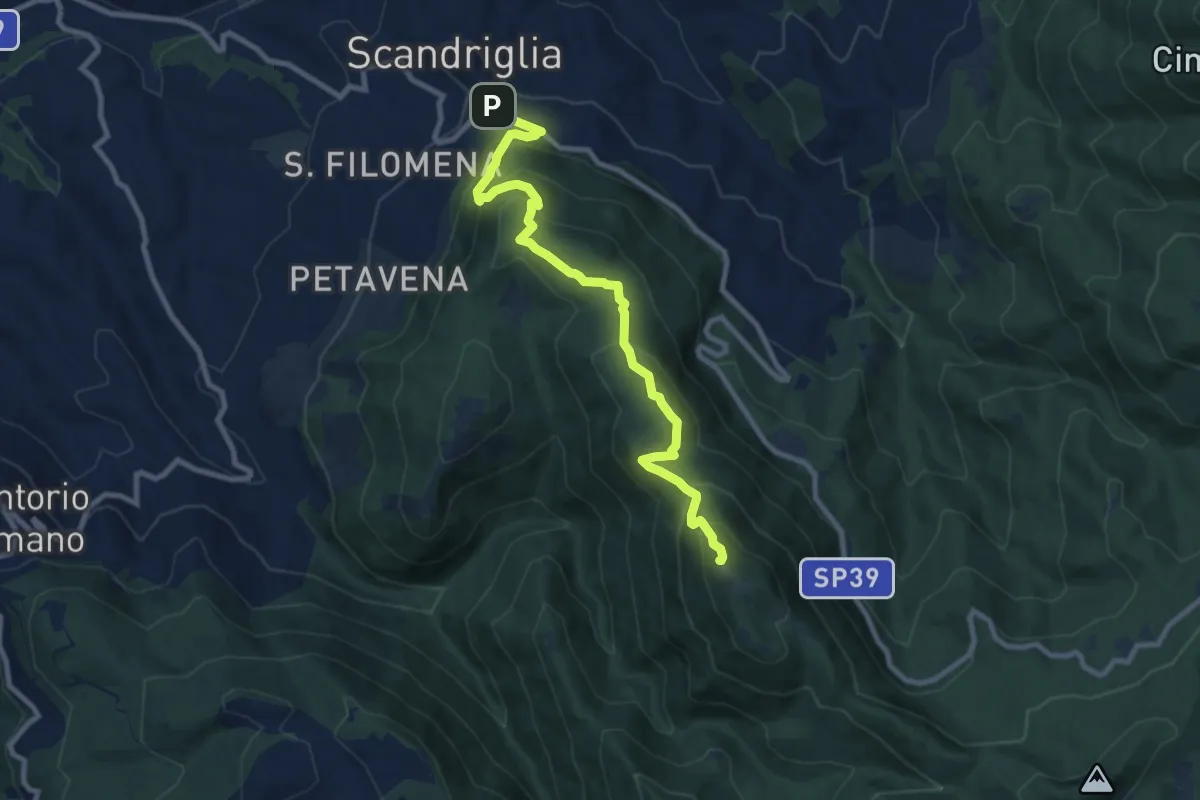
Medium · Summit
Scandriglia-M. Serrapopolo
10.4 km · ↑ 714 m · 4 h · 12 km away
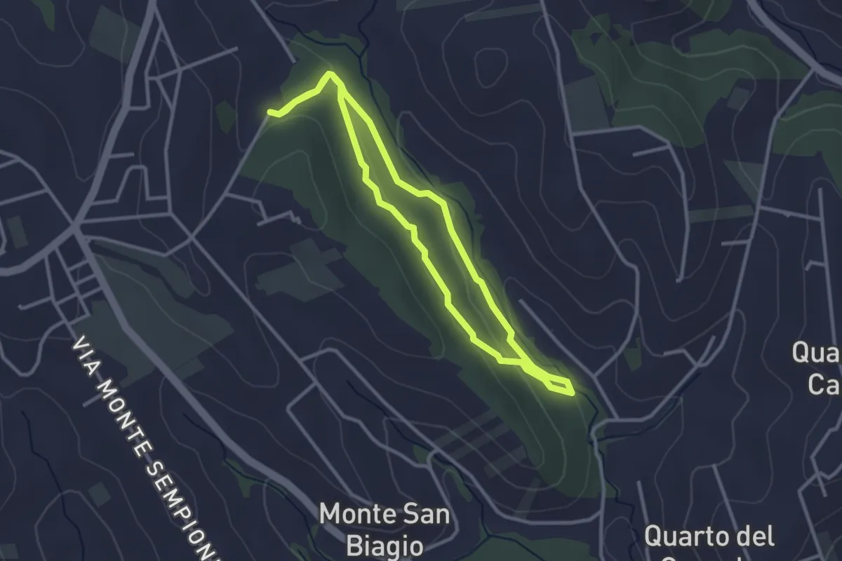
Easy · Trail
Anello Macchia Mancini
2.9 km · ↑ 55 m · 51 min · 13 km away
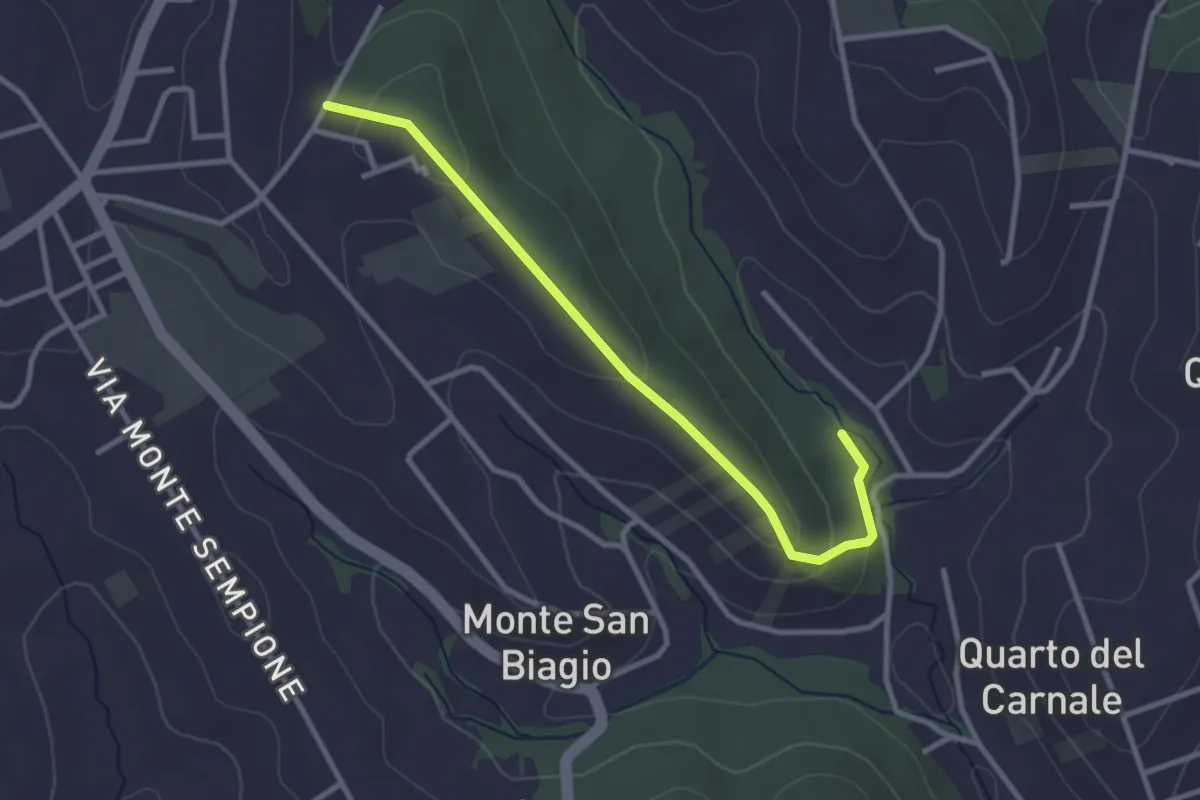
Easy · Trail
Via Alessandro Manzoni (Fontenuova) – Bivio sentiero anello 492
3.3 km · ↑ 82 m · 58 min · 13 km away
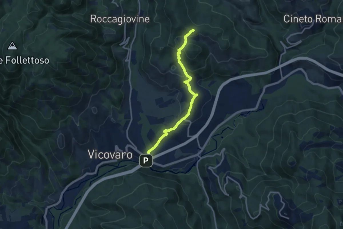
Medium · Summit
San Cosimato – Colle Prioni
9.6 km · ↑ 390 m · 3 h 7 min · 13 km away
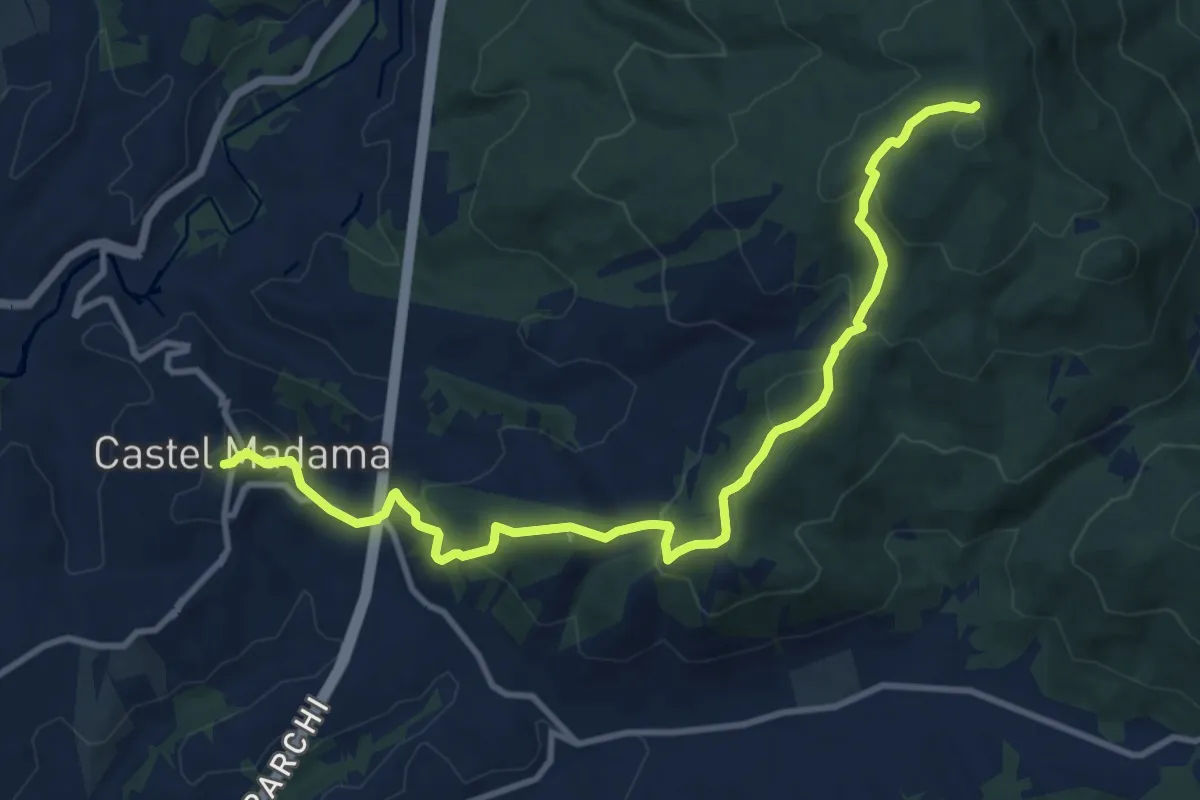
Medium · Summit
Piazza Dante Castel Madama – Colle Cerrito Piano
6.5 km · ↑ 521 m · 2 h 34 min · 13 km away
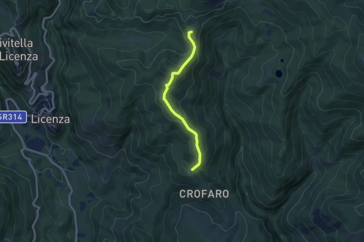
Easy · Summit
Colle Serranile-Fosso Turana
5.1 km · ↑ 262 m · 1 h 46 min · 13 km away
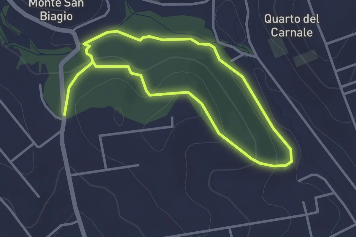
Easy · Trail
Via S. Lucia incrocio Via Lago di Scanno – Via S. Lucia incrocio Via Lago di Scanno
2.5 km · ↑ 71 m · 47 min · 13 km away
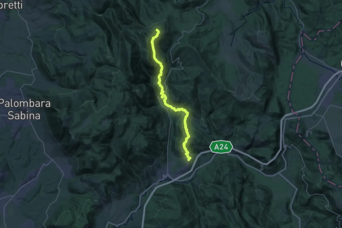
Demanding · Summit
Cammino di San Benedetto - Tappa 09
29.3 km · ↑ 1388 m · 9 h 56 min · 14 km away
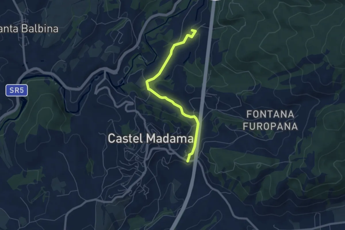
Easy · Summit
Castel Madama-Vicovaro
6.0 km · ↑ 144 m · 1 h 44 min · 14 km away
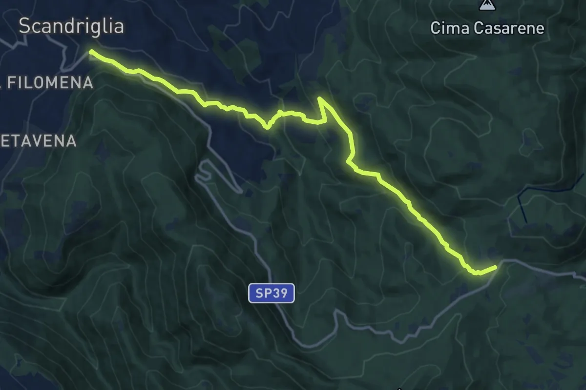
Medium · Trail
Scandriglia-Le Pratarelle
14.7 km · ↑ 634 m · 4 h 51 min · 14 km away
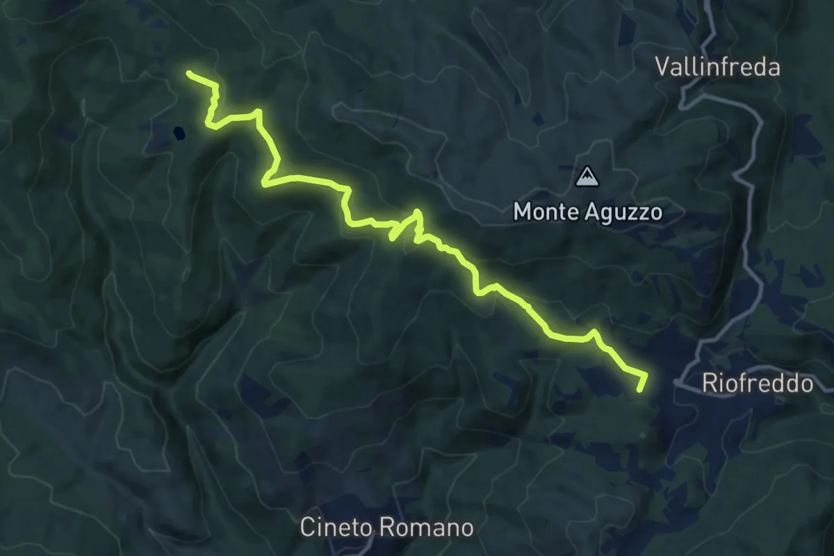
Medium · Summit
Laghetti di Percile – Riofreddo
13.1 km · ↑ 577 m · 4 h 21 min · 15 km away