Trails near Pavullo nel Frignano
115 hikes starting within 15 km, nearest first.
Nearest first, page 1 of 3
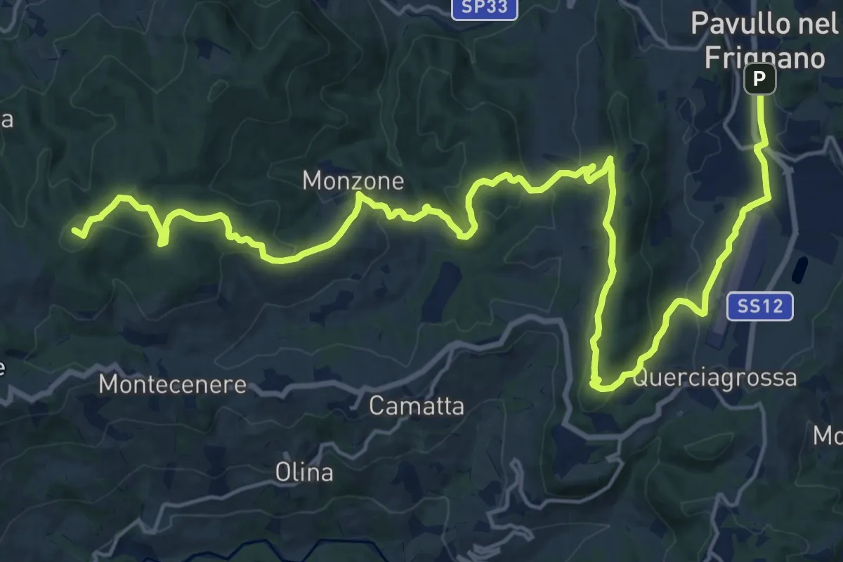
Demanding · Summit
Via Vandelli - Tappa 3
27.0 km · ↑ 948 m · 8 h 25 min · under 1 km away
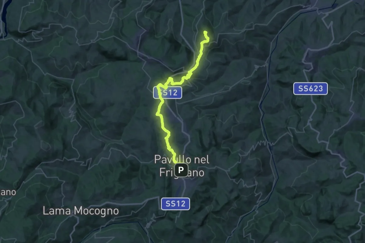
Demanding · Summit
Via Vandelli - Tappa 2
37.2 km · ↑ 1198 m · 11 h 22 min · under 1 km away
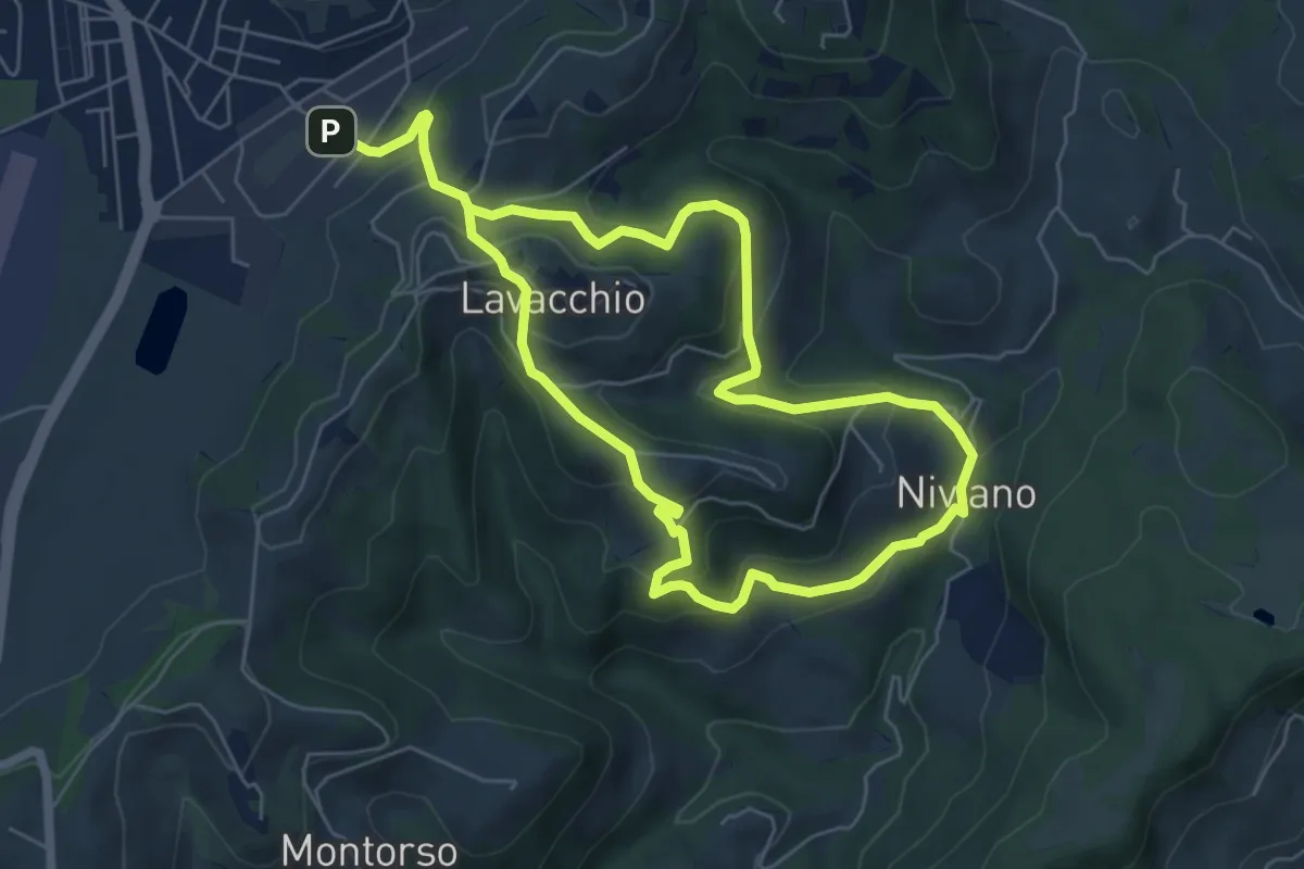
Easy · Trail
Pavullo – Niviano
5.8 km · ↑ 305 m · 2 h 5 min · 2 km away
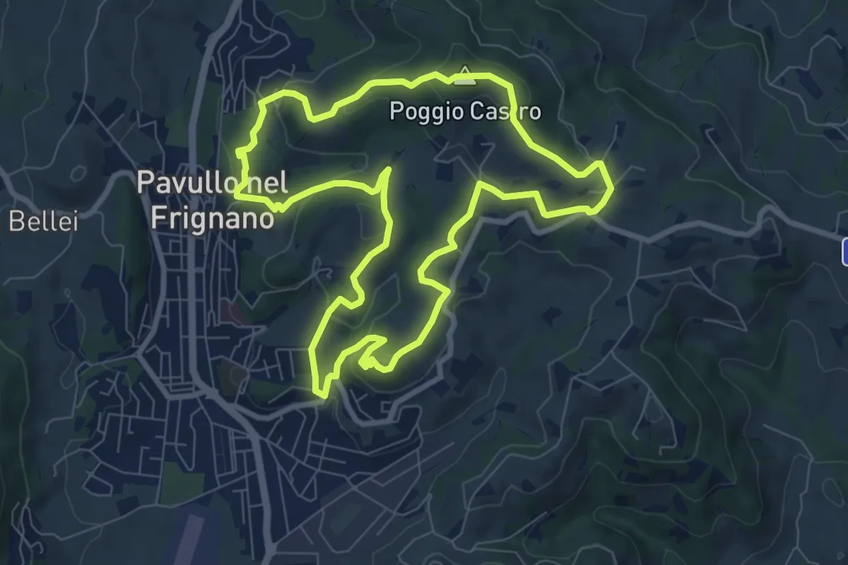
Medium · Summit
Anello Pavullo
8.1 km · ↑ 302 m · 2 h 40 min · 2 km away
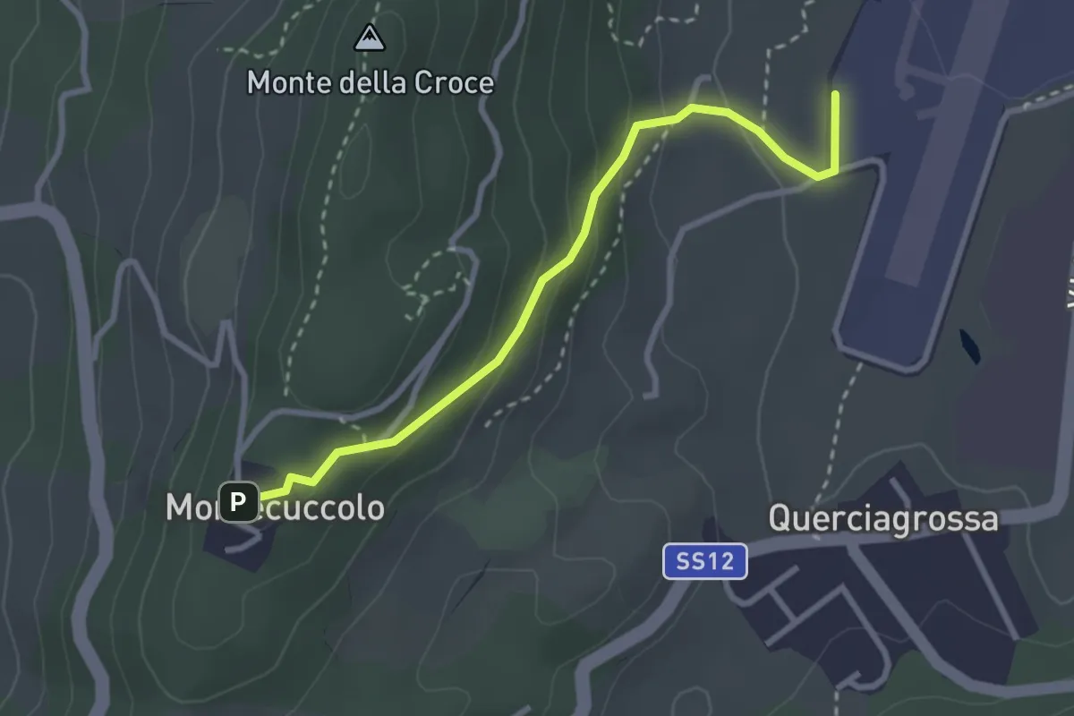
Easy · Trail
"Sentiero del Generale" - Pavullo (aeroporto) - Montecuccolo
3.0 km · ↑ 157 m · 1 h 3 min · 3 km away
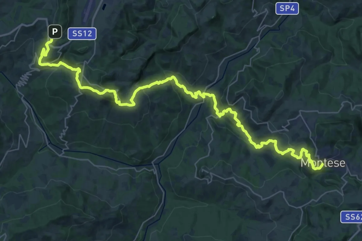
Demanding · Trail
Via dei Montecuccoli
19.9 km · ↑ 972 m · 7 h 7 min · 3 km away
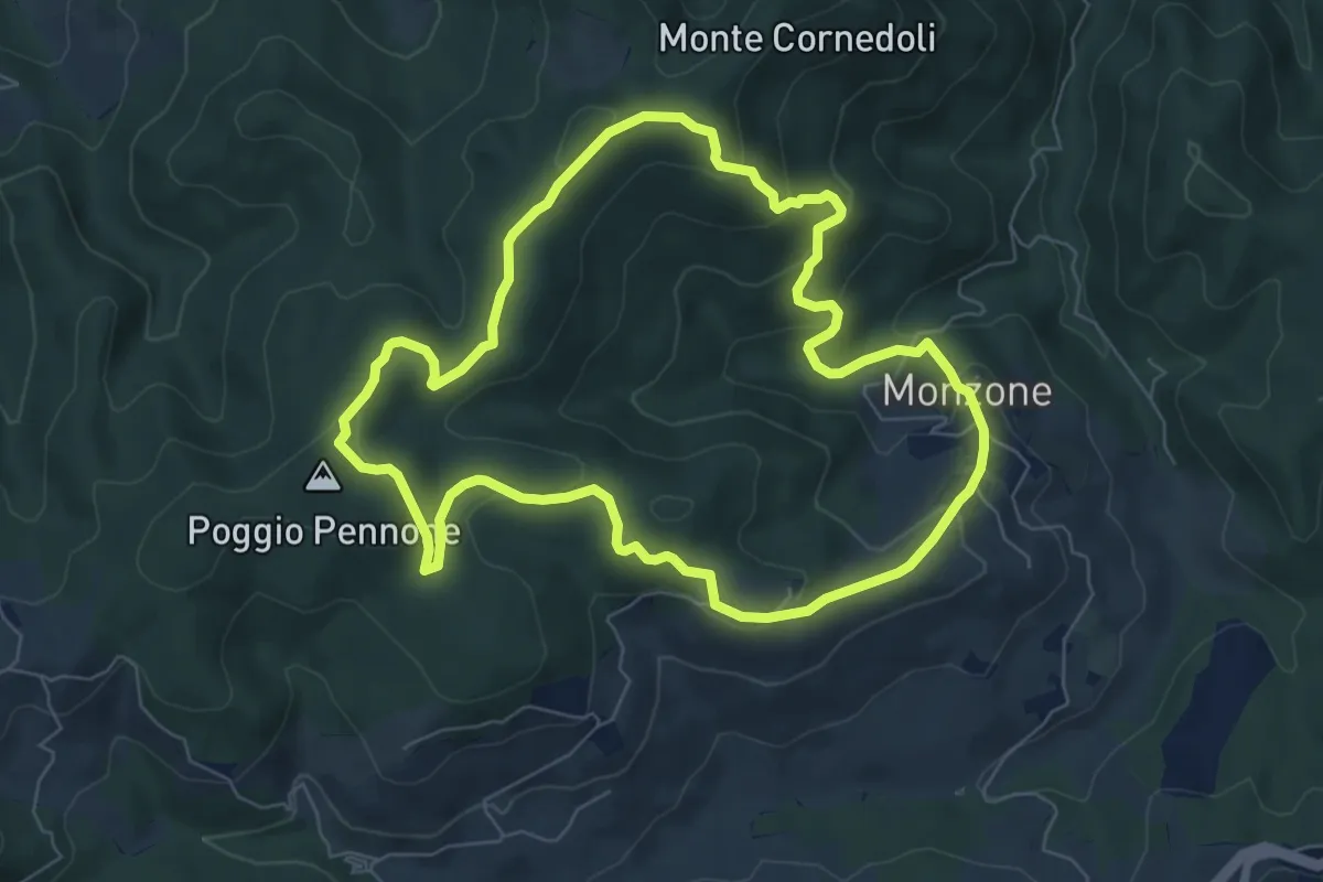
Easy · Summit
Monzone – Monzone
7.2 km · ↑ 274 m · 2 h 24 min · 4 km away
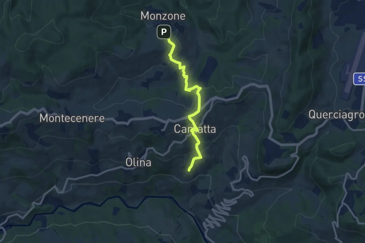
Medium · Trail
Monzone - Camatta
7.4 km · ↑ 364 m · 2 h 32 min · 4 km away
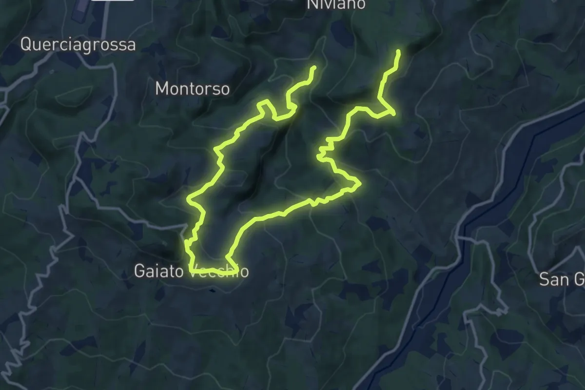
Demanding · Trail
Molino Còrnola – sentiero 500a
20.2 km · ↑ 1188 m · 7 h 20 min · 4 km away
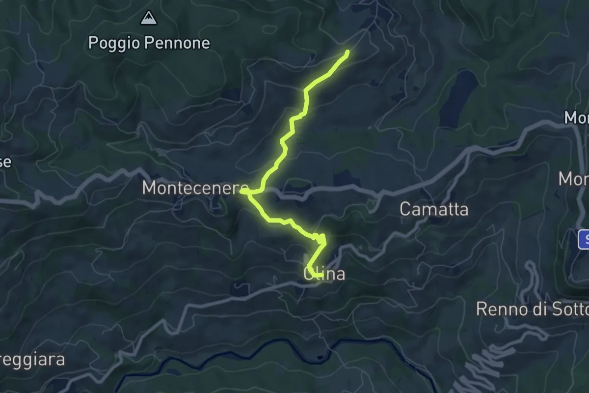
Easy · Trail
Olina – Percorso 520
6.9 km · ↑ 261 m · 2 h 11 min · 4 km away
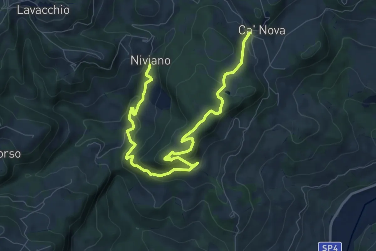
Medium · Trail
Ca' Nova – Niviano
10.1 km · ↑ 389 m · 3 h 14 min · 4 km away
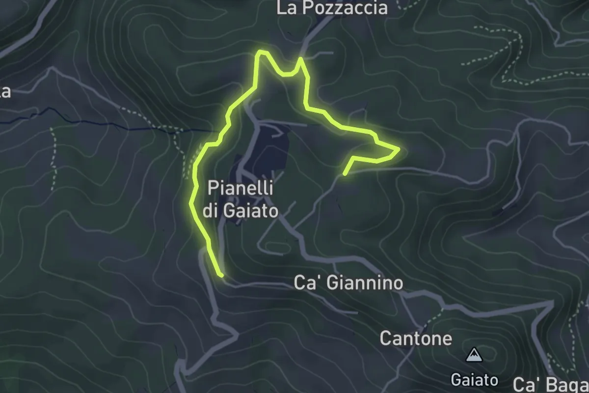
Easy · Trail
Gaiato (Variante)
4.7 km · ↑ 170 m · 1 h 29 min · 5 km away
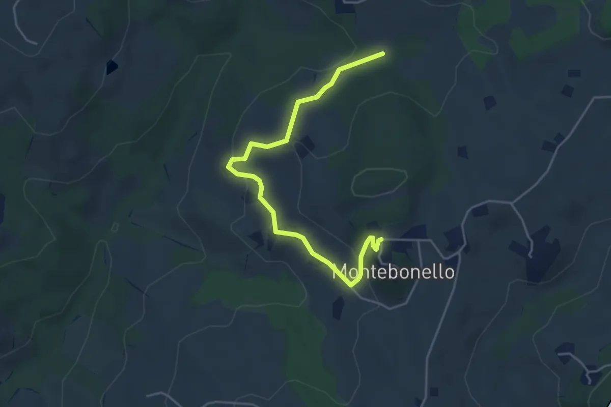
Easy · Trail
Montebonello – Percorso 522
4.5 km · ↑ 190 m · 1 h 28 min · 5 km away
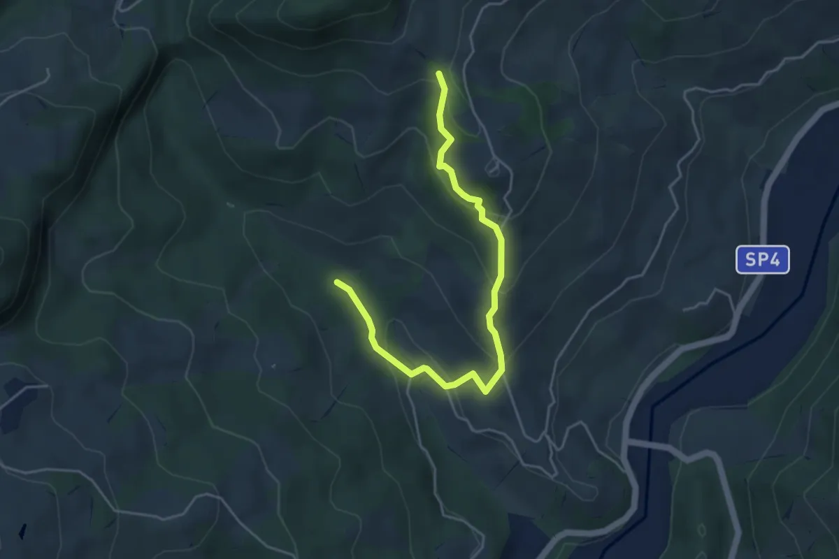
Easy · Trail
Mulino Managlia – Sassuolo
4.7 km · ↑ 246 m · 1 h 39 min · 5 km away
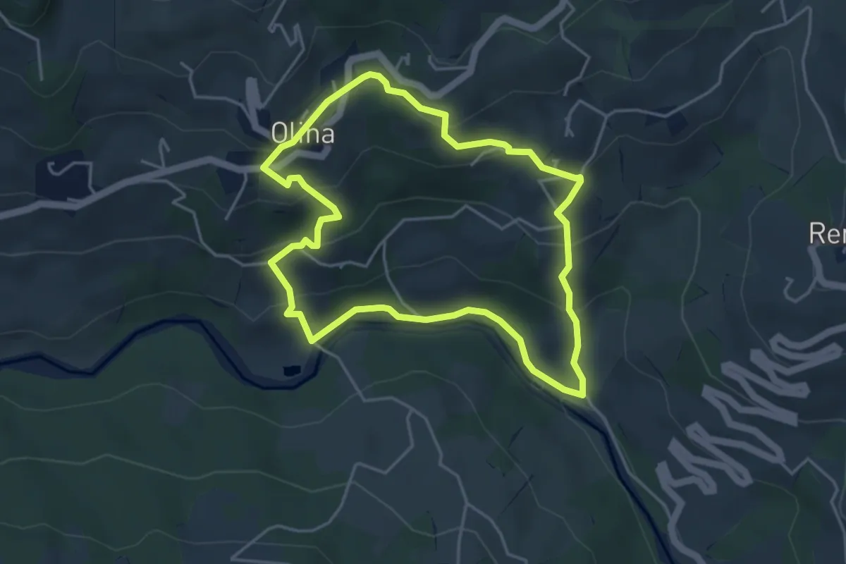
Easy · Trail
Olina – Olina
4.2 km · ↑ 218 m · 1 h 31 min · 5 km away
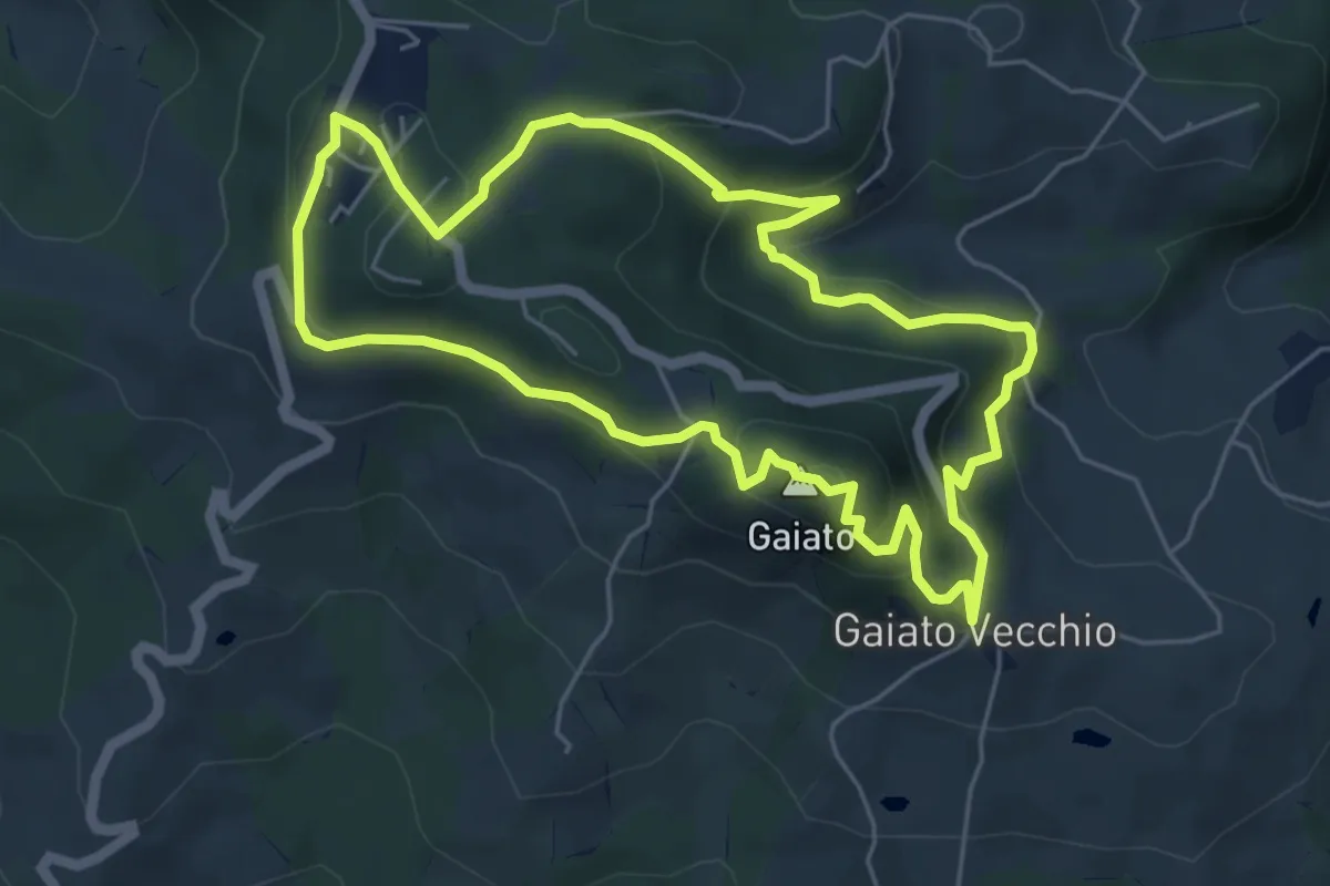
Medium · Summit
Anello Gaiato
5.8 km · ↑ 324 m · 2 h 9 min · 5 km away
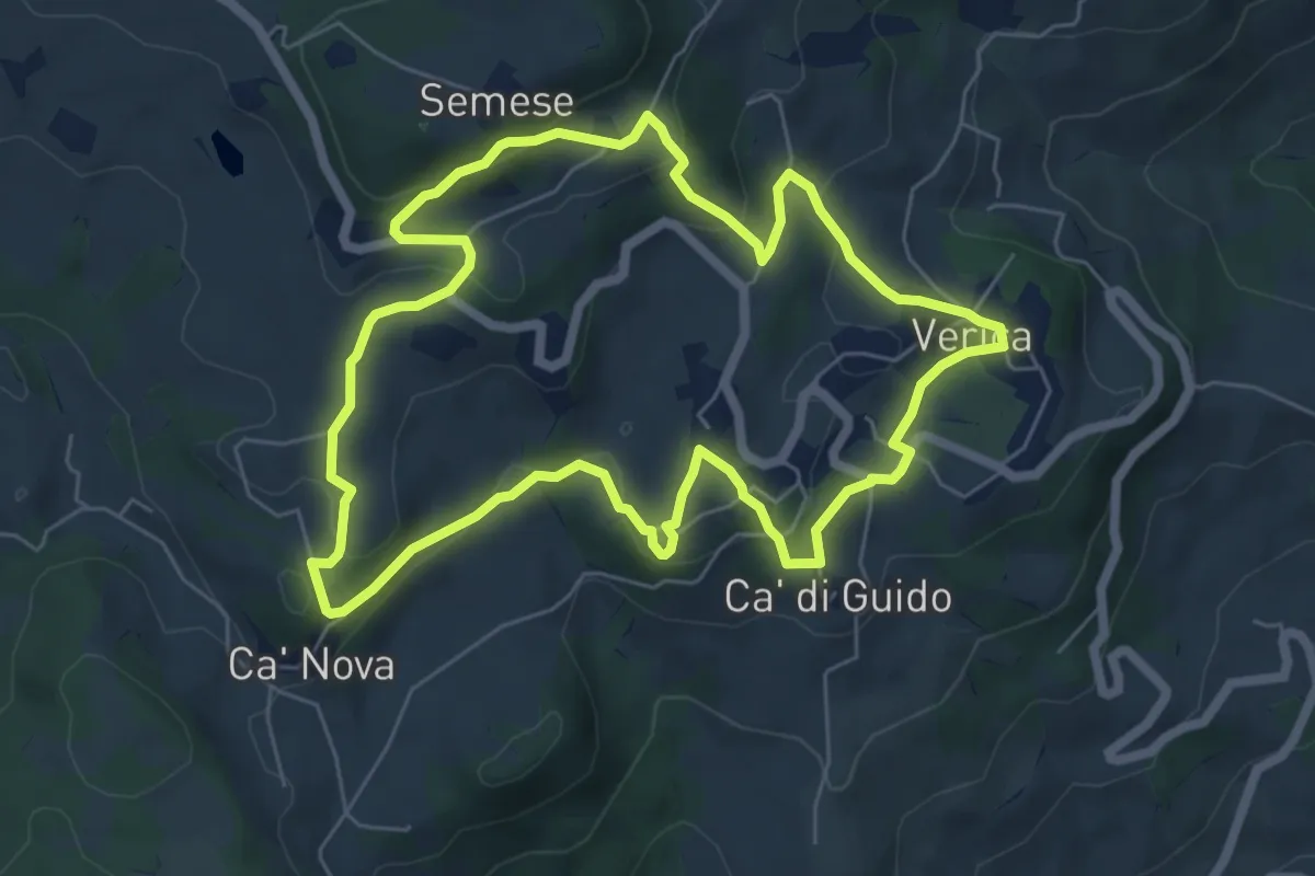
Medium · Trail
Anello Verica
6.6 km · ↑ 247 m · 2 h 11 min · 6 km away
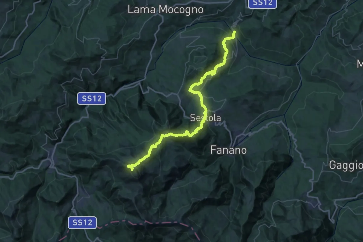
Expert · Summit
Ponte del Prugneto – Monte Cimone
42.8 km · ↑ 2483 m · 15 h 29 min · 6 km away
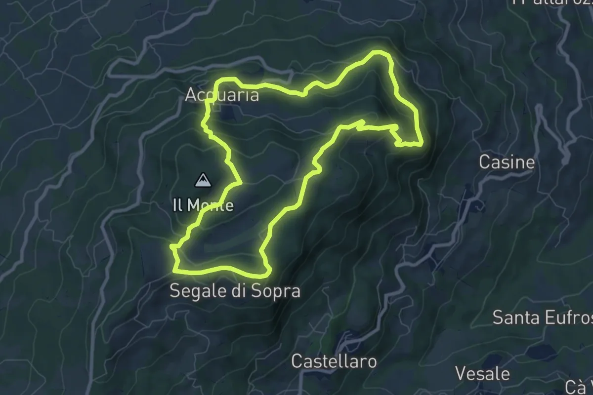
Medium · Summit
Sentiero dei Partigiani - Anello della Battaglia
8.3 km · ↑ 300 m · 2 h 43 min · 8 km away
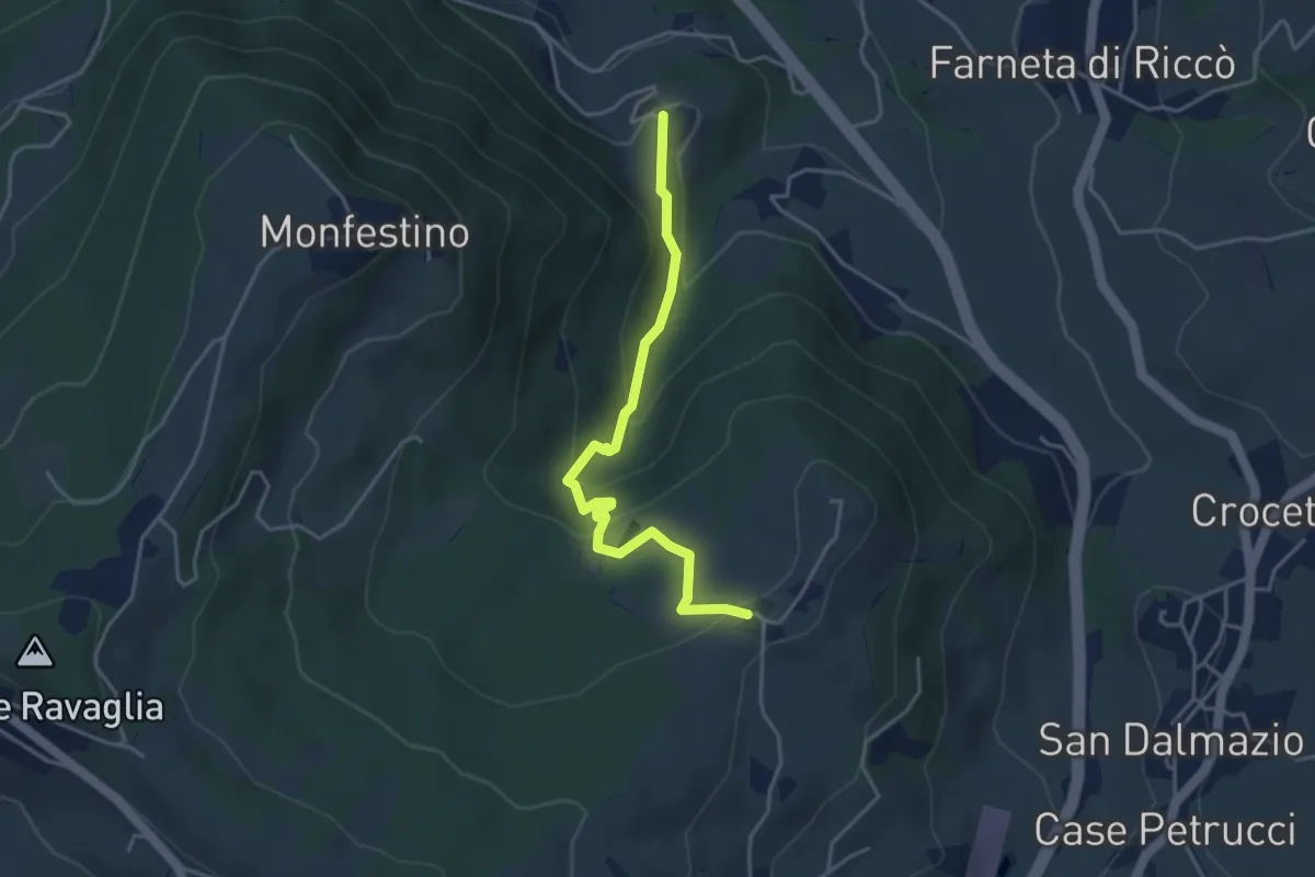
Medium · Trail
Granarolo – Casa Alfieri
4.2 km · ↑ 227 m · 1 h 28 min · 9 km away
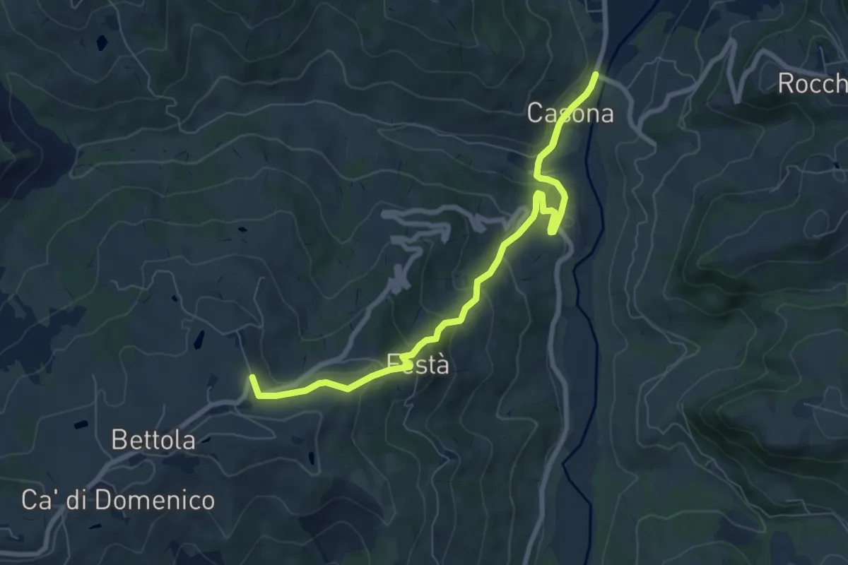
Medium · Trail
Collegamento Via Romea Nonantolana (Casona - Festà)
9.1 km · ↑ 316 m · 2 h 50 min · 9 km away
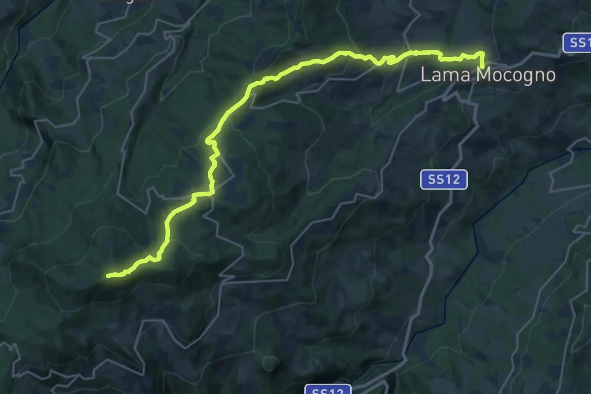
Demanding · Summit
Lama Mocogno – Monte Cantiere
22.4 km · ↑ 1057 m · 7 h 34 min · 9 km away
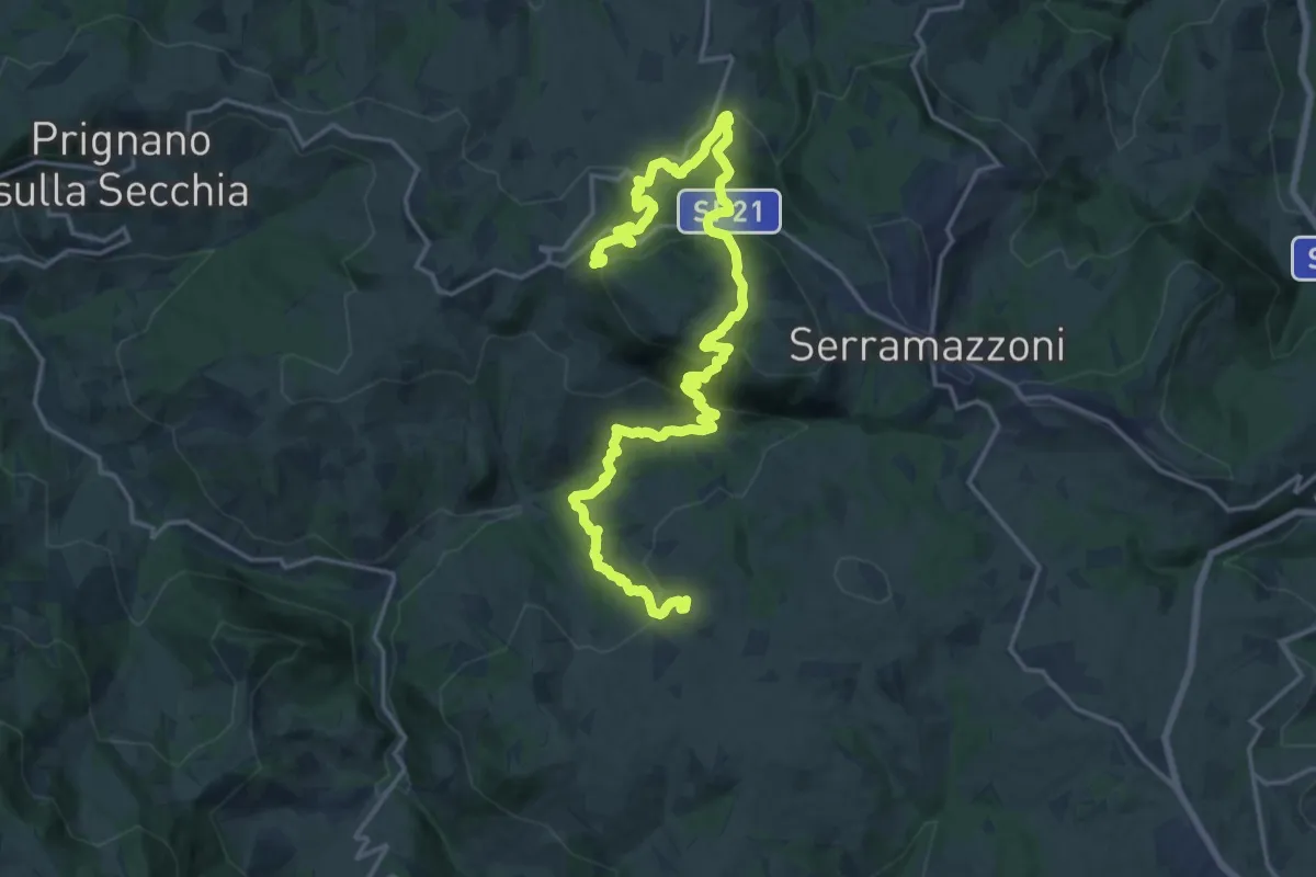
Medium · Trail
Pompeano – Ca d'Andrea
11.9 km · ↑ 735 m · 4 h 31 min · 9 km away
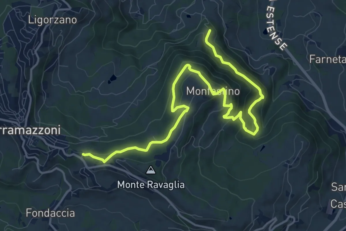
Medium · Trail
Ca' Tonini – Serramazzoni
13.9 km · ↑ 673 m · 4 h 44 min · 9 km away
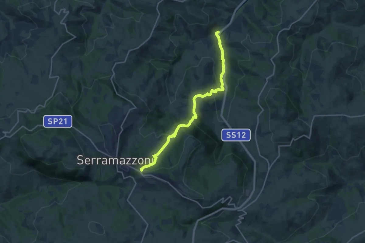
Medium · Trail
Oglio di Sopra – Serramazzoni
14.0 km · ↑ 620 m · 4 h 38 min · 9 km away
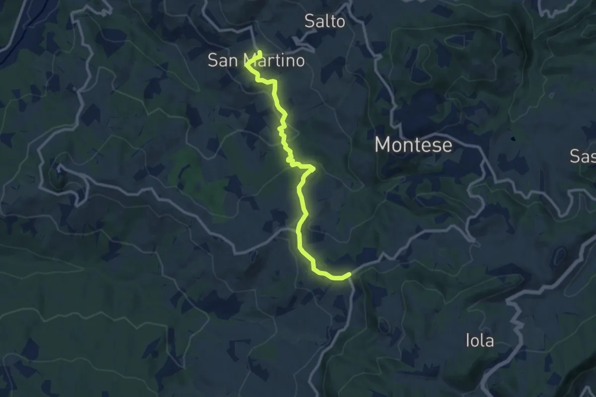
Medium · Trail
Maserno – San Martino
8.7 km · ↑ 381 m · 2 h 53 min · 9 km away
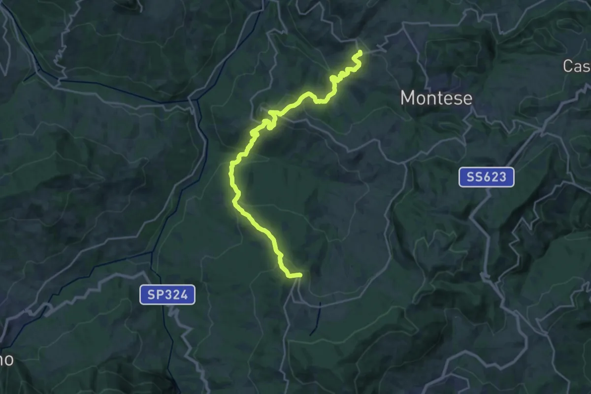
Demanding · Trail
San Martino – Castelluccio
21.7 km · ↑ 1222 m · 7 h 46 min · 9 km away
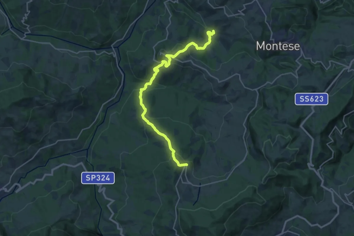
Demanding · Trail
Via dei Montecuccoli - Variante di Castelluccio - San Martino - Castelluccio
19.1 km · ↑ 1069 m · 6 h 50 min · 10 km away
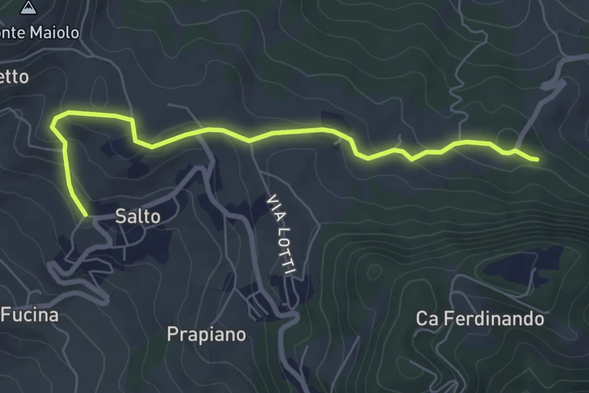
Easy · Trail
Percorso CAI 434B
5.8 km · ↑ 159 m · 1 h 42 min · 10 km away
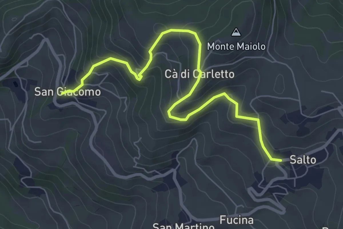
Medium · Trail
Salto – SP della Docciola
6.7 km · ↑ 343 m · 2 h 20 min · 10 km away
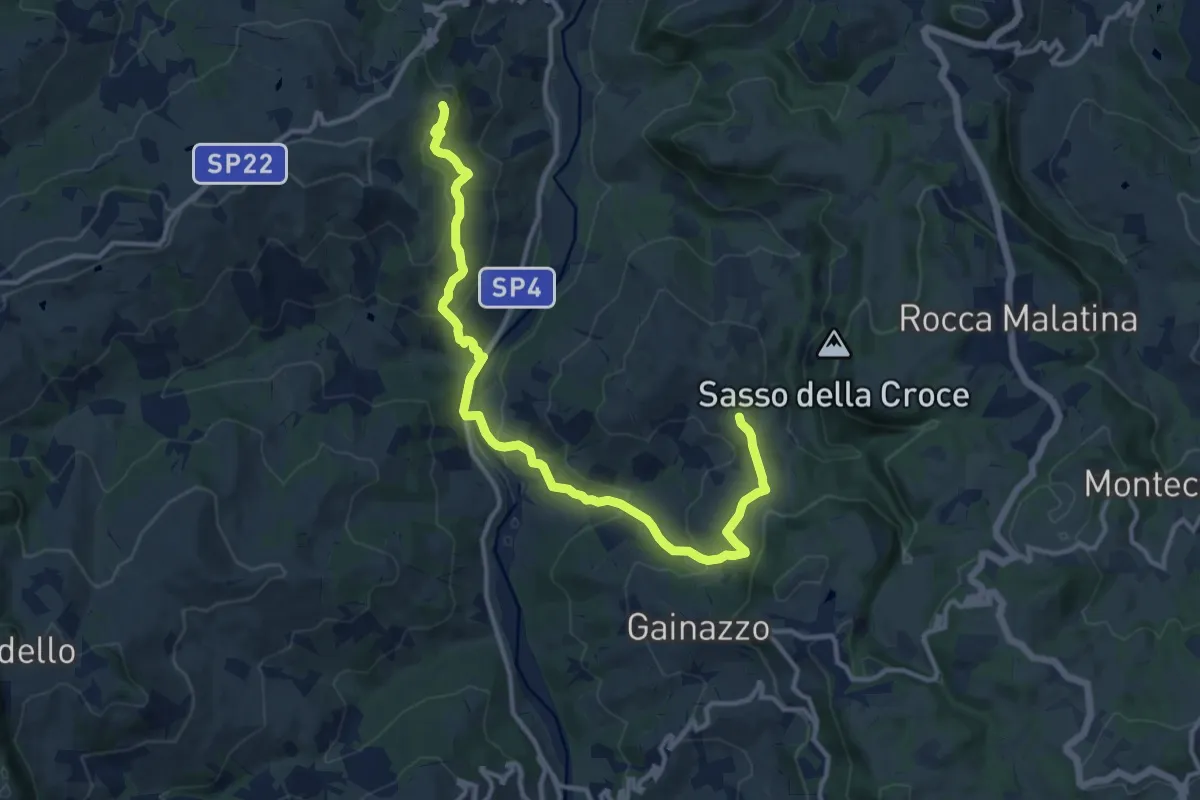
Medium · Trail
Festà – Sant'Apollonia
14.2 km · ↑ 618 m · 4 h 41 min · 10 km away
Medium · Trail
Festa – Sant'Apollonia
14.2 km · ↑ 618 m · 4 h 41 min · 10 km away
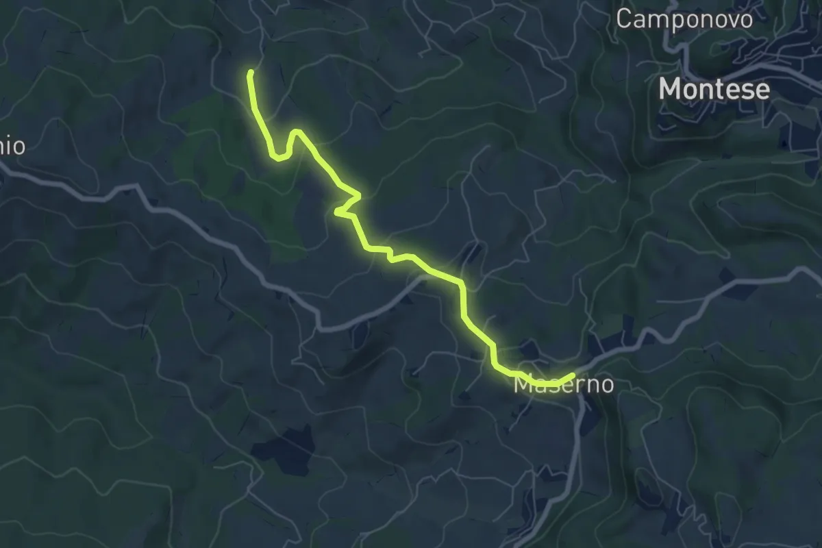
Easy · Trail
Via dei Montecuccoli – Maserno
6.9 km · ↑ 291 m · 2 h 15 min · 10 km away
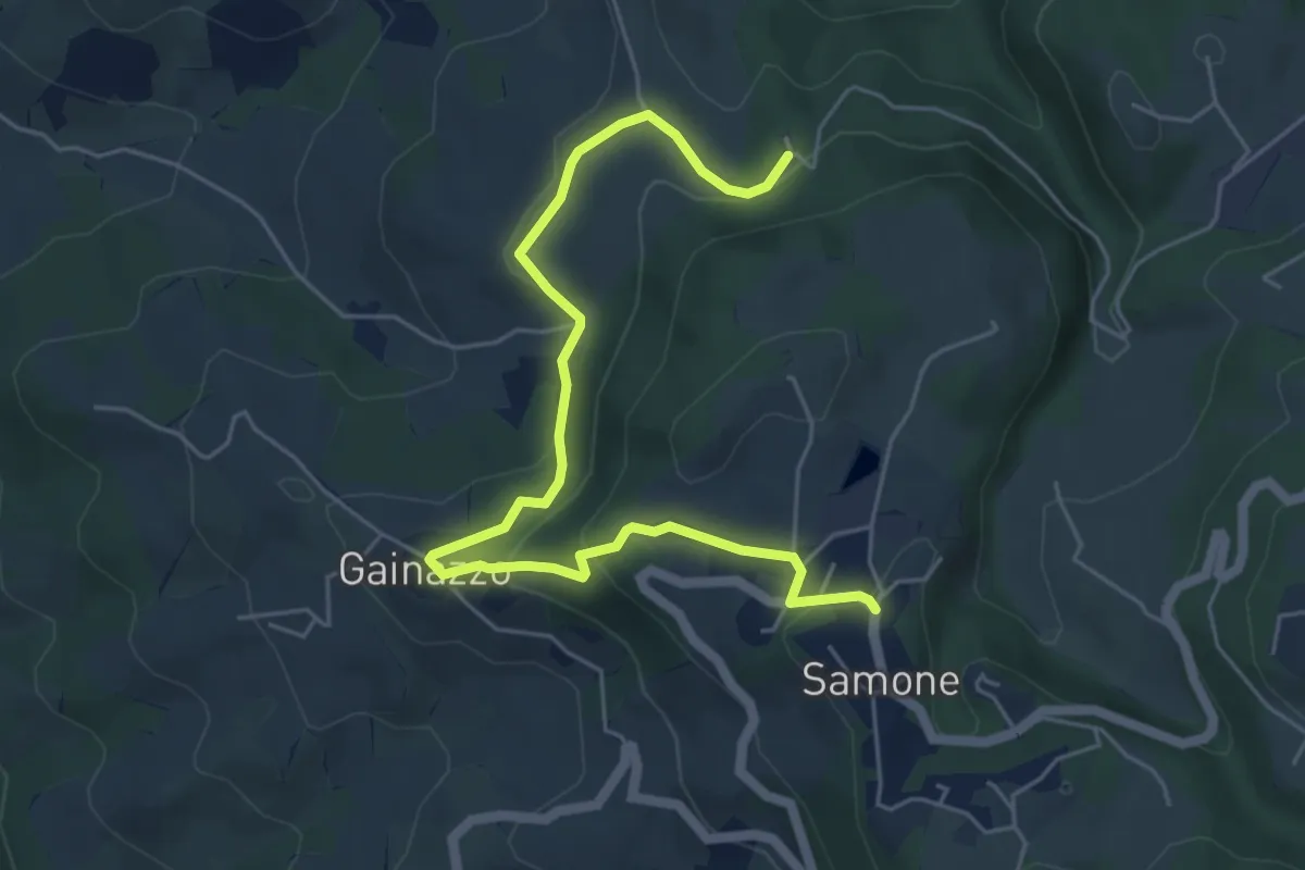
Medium · Trail
Castellino delle Formiche – Samone
6.5 km · ↑ 247 m · 2 h 4 min · 10 km away
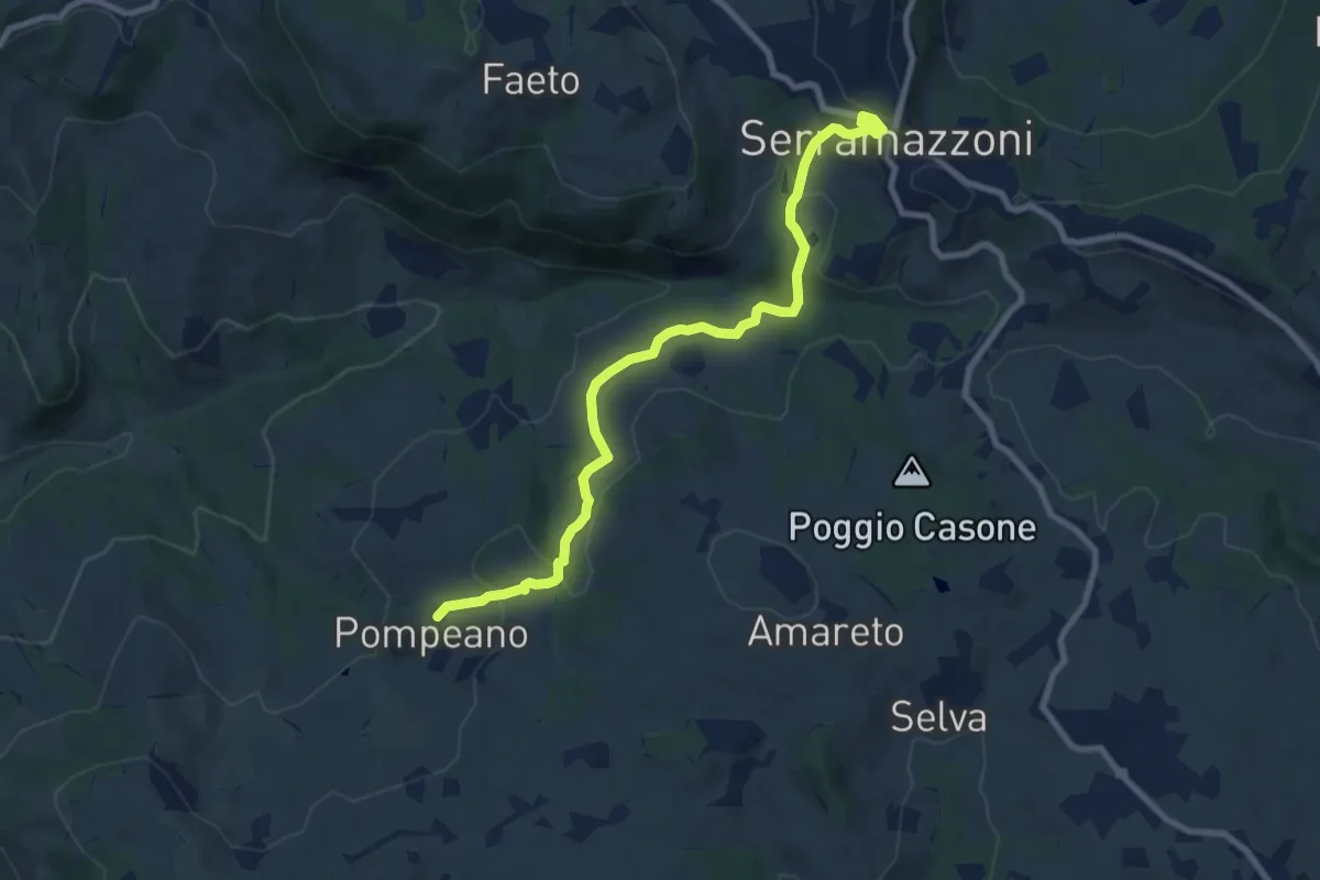
Medium · Trail
Serramazzoni – Pompeano
9.2 km · ↑ 405 m · 3 h 3 min · 10 km away
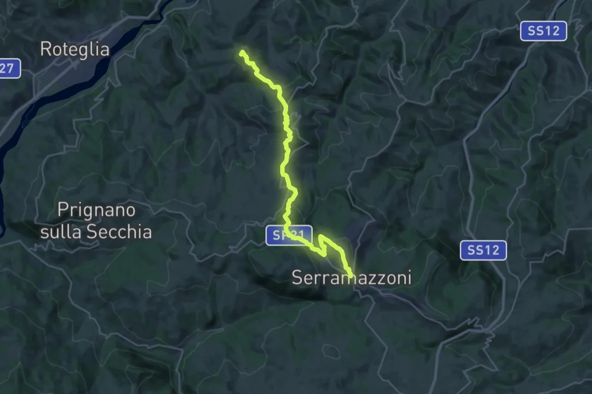
Demanding · Summit
Via Vandelli sassuolese
21.6 km · ↑ 809 m · 6 h 51 min · 10 km away
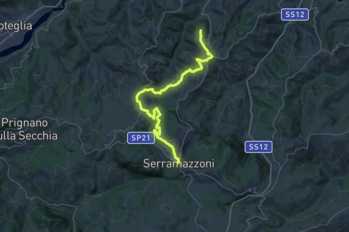
Medium · Trail
Serramazzoni – Rocca Santa Maria
13.7 km · ↑ 332 m · 4 h 20 min · 10 km away
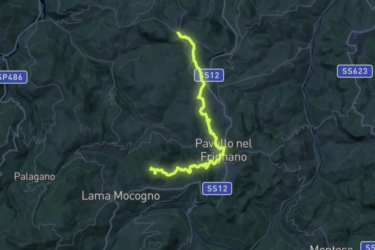
Demanding · Summit
Serramazzoni – La Berzigala
45.7 km · ↑ 1543 m · 14 h 7 min · 10 km away
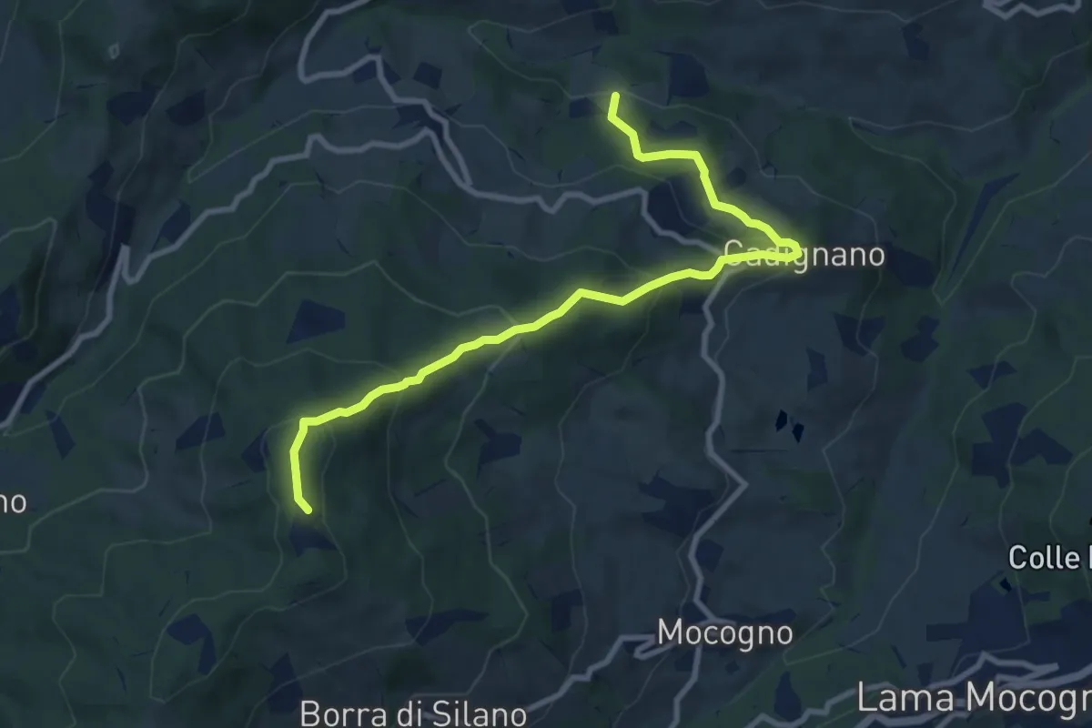
Medium · Summit
Casarola – Percorso 585 (Sella Tolè)
9.9 km · ↑ 545 m · 3 h 31 min · 10 km away
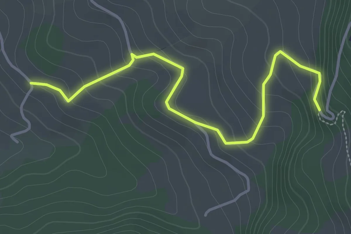
Easy · Trail
Percorso 440 – Percorso 436
3.6 km · ↑ 200 m · 1 h 17 min · 10 km away
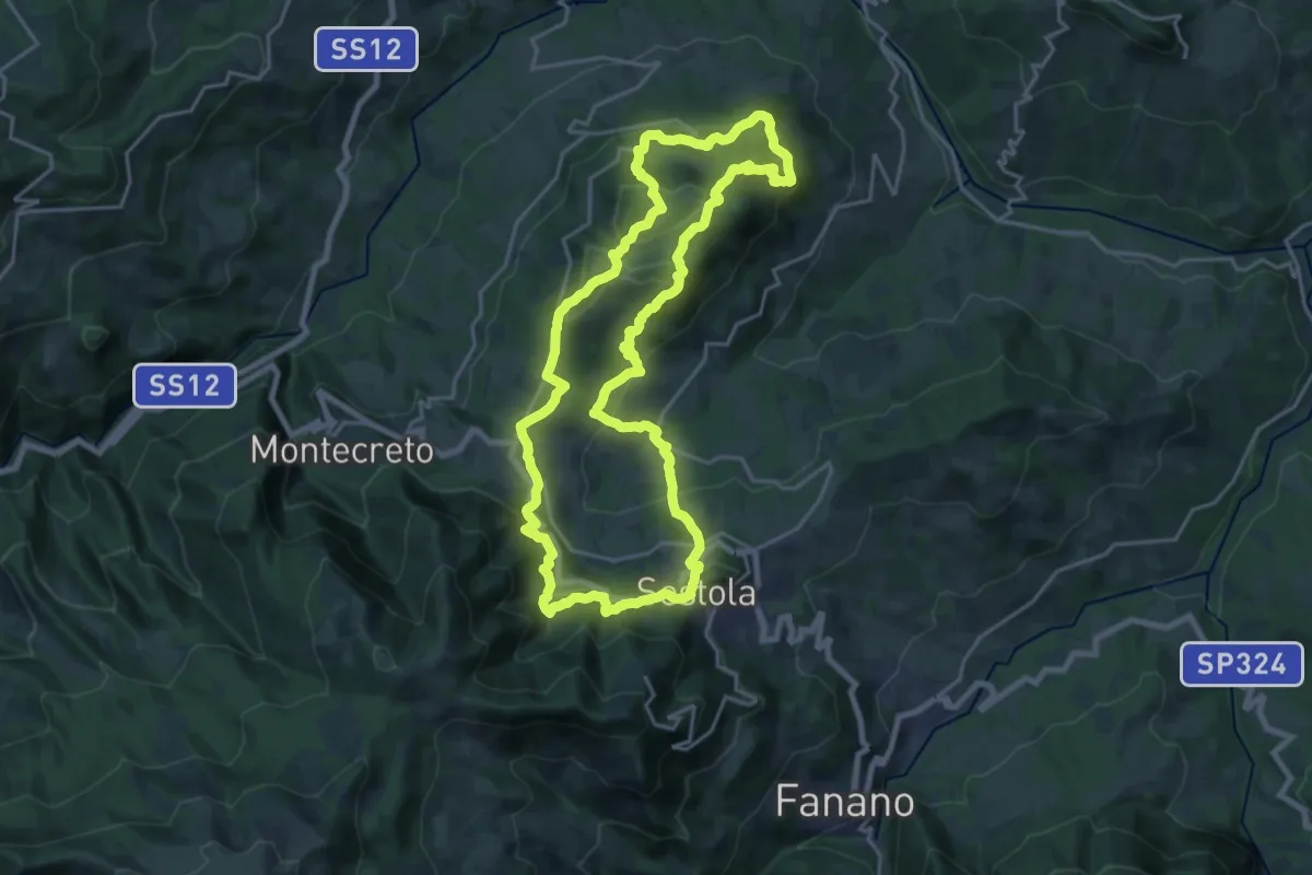
Demanding · Summit
Sentiero dei Partigiani - Anello lungo
20.8 km · ↑ 936 m · 7 h 14 min · 10 km away
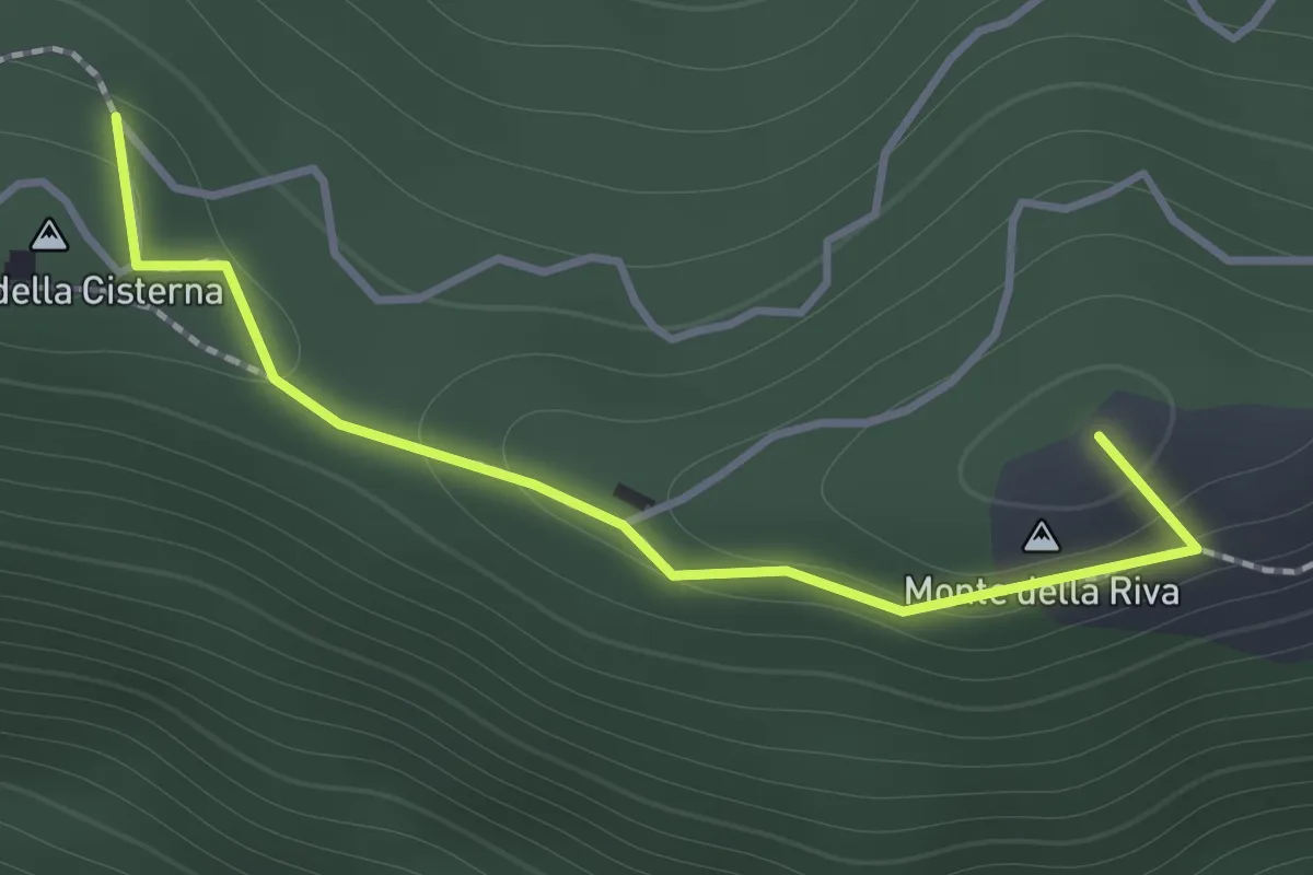
Medium · Summit
Monte della Cisterna – Serra di Montalbano
1.4 km · ↑ 54 m · 27 min · 10 km away
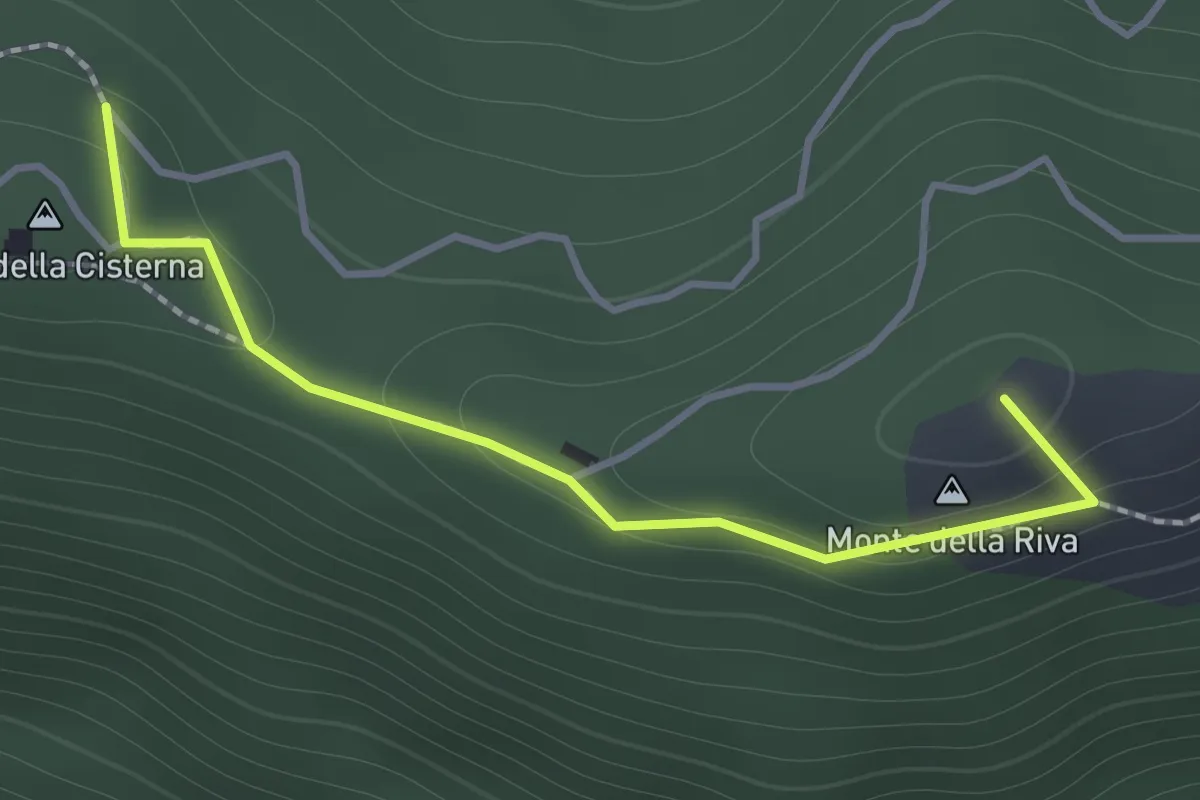
Medium · Summit
Serra di Montalbano – Monte della Cisterna
1.4 km · ↑ 54 m · 27 min · 10 km away
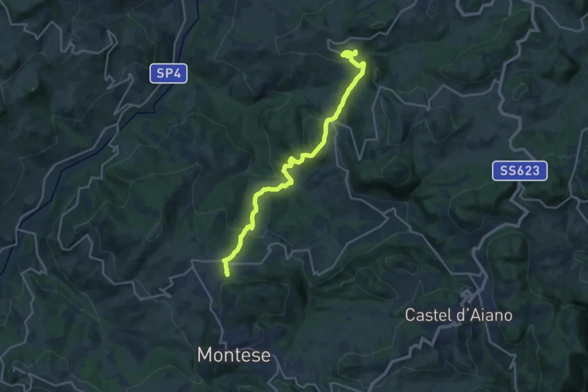
Medium · Trail
Rosola – Percorso 440
14.7 km · ↑ 744 m · 5 h 5 min · 10 km away
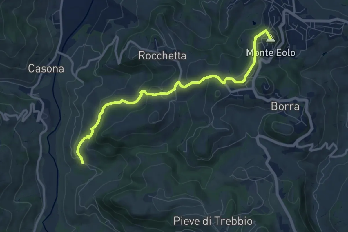
Medium · Summit
Percorso 400/2 – Guiglia
8.3 km · ↑ 330 m · 2 h 40 min · 11 km away
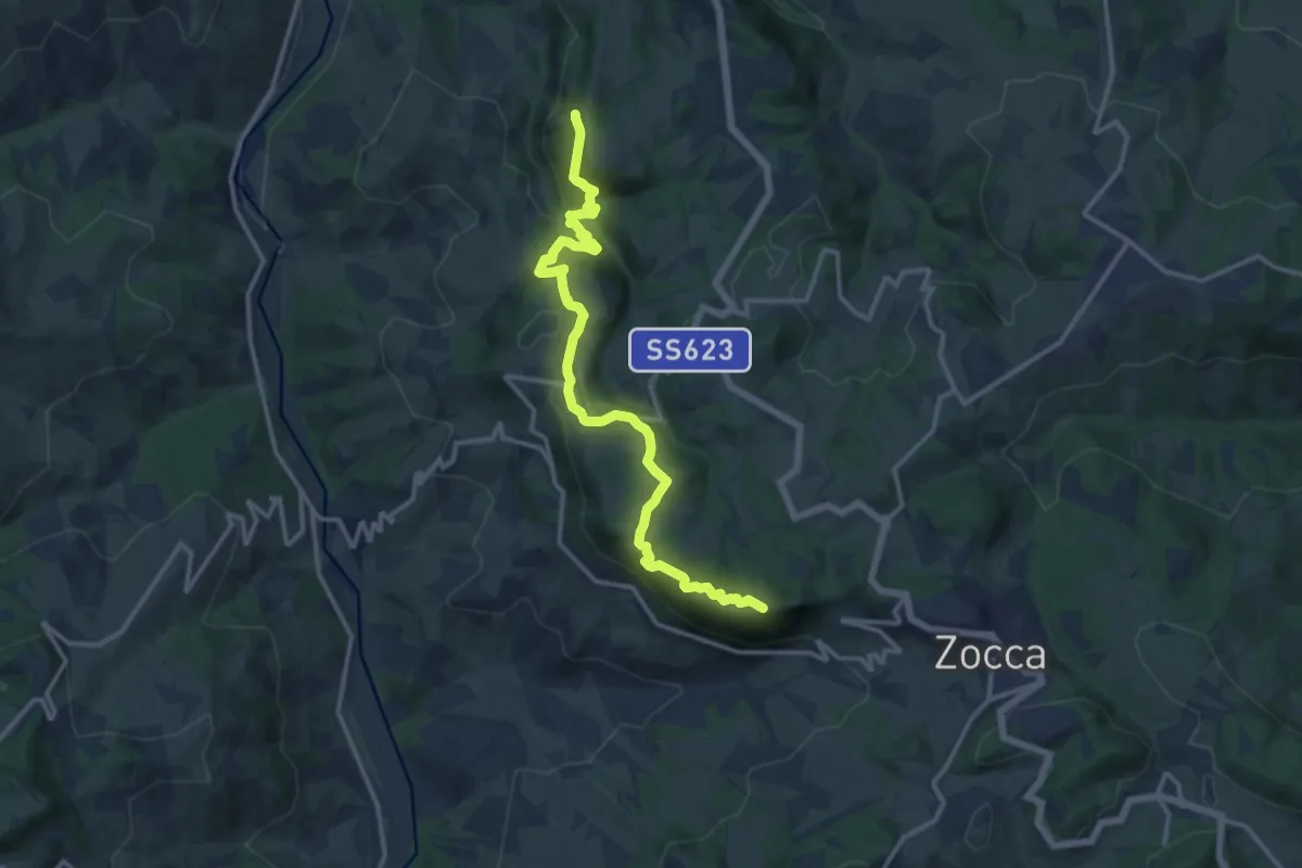
Medium · Summit
Via Romea Nonantolana e Via della Sambuca: Tappa 3
14.7 km · ↑ 778 m · 5 h 9 min · 11 km away
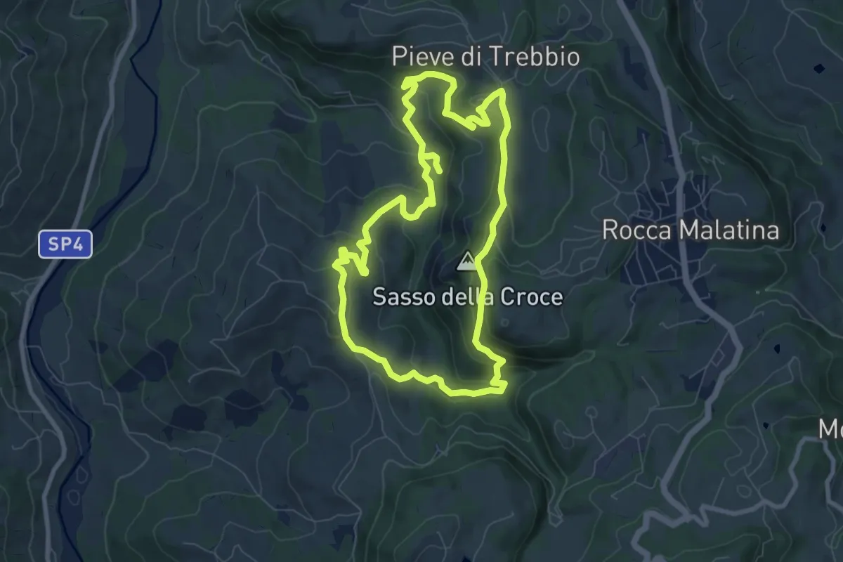
Medium · Summit
SAS3
7.8 km · ↑ 346 m · 2 h 43 min · 11 km away
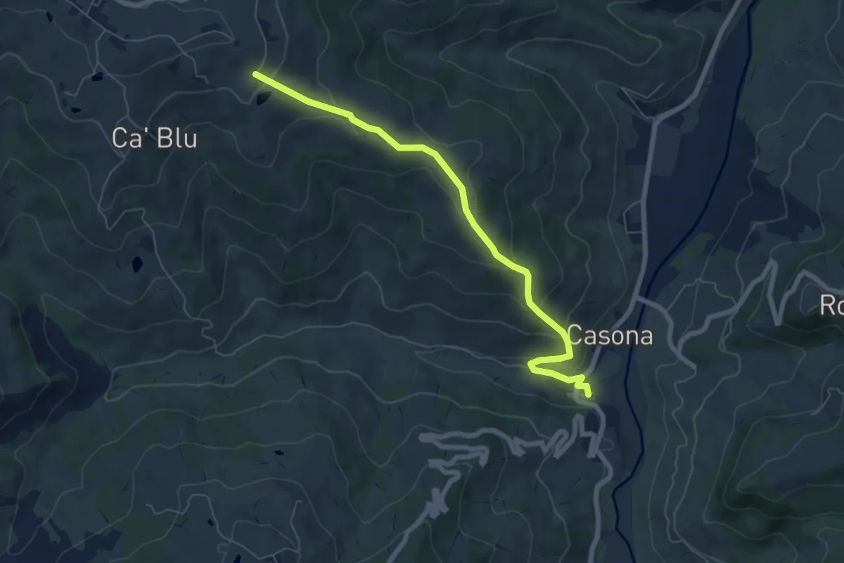
Medium · Trail
Osteria Nuova – Percorso 412
6.8 km · ↑ 326 m · 2 h 19 min · 11 km away