Trails near Pavullo nel Frignano
115 hikes starting within 15 km, nearest first.
Nearest first, page 2 of 3
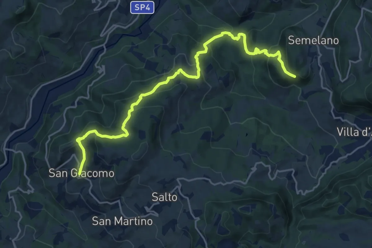
Demanding · Trail
Semelano – San Giacomo
16.8 km · ↑ 920 m · 5 h 58 min · 11 km away
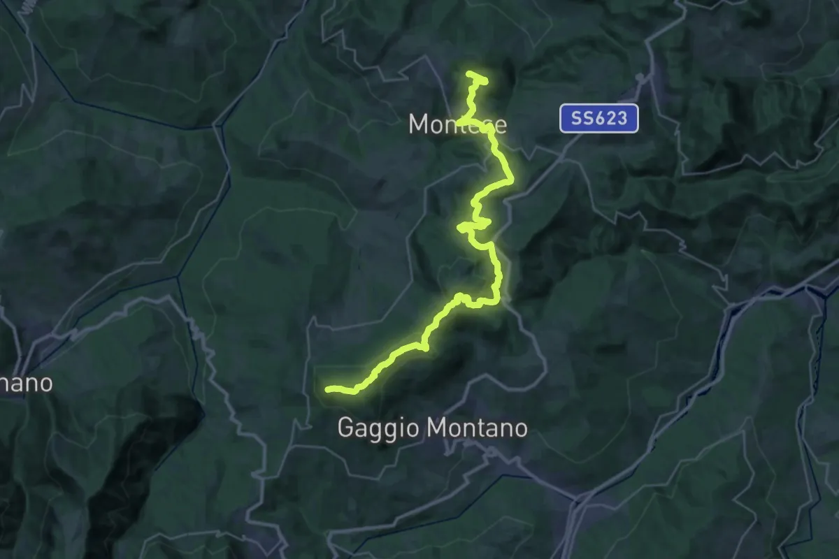
Demanding · Summit
Linea Gotica
33.9 km · ↑ 1047 m · 10 h 17 min · 11 km away
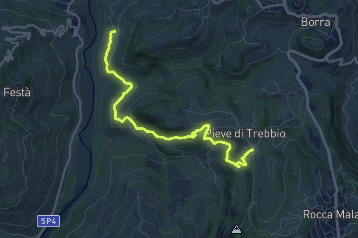
Medium · Trail
SAS1A
9.5 km · ↑ 437 m · 3 h 11 min · 11 km away
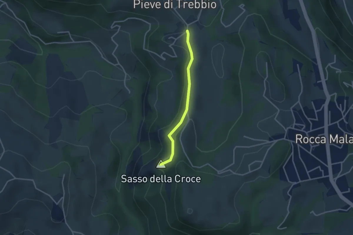
Medium · Summit
GEO - Itinerario Geologico
2.5 km · ↑ 67 m · 44 min · 11 km away
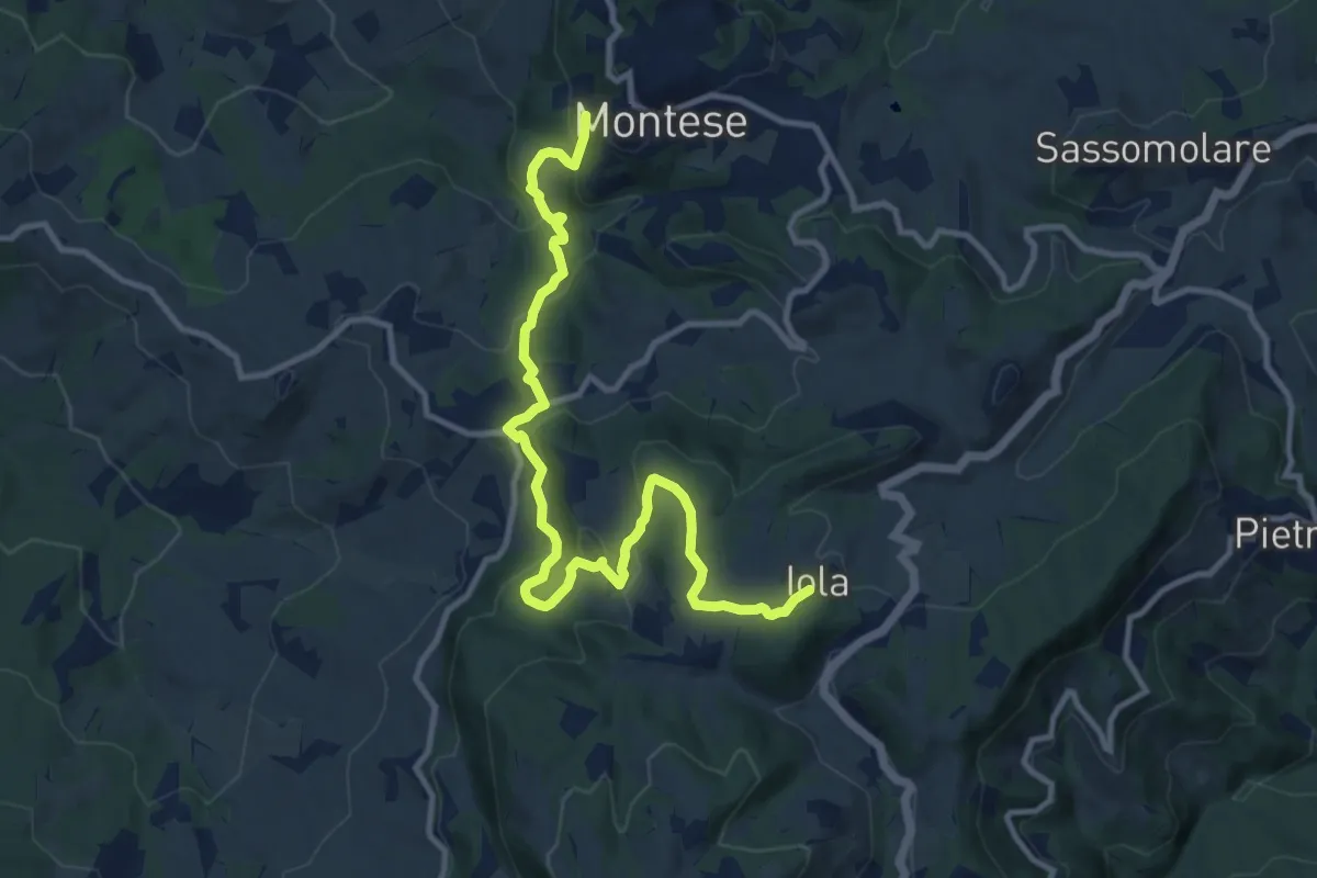
Medium · Trail
Montese – Iola
13.0 km · ↑ 617 m · 4 h 25 min · 11 km away
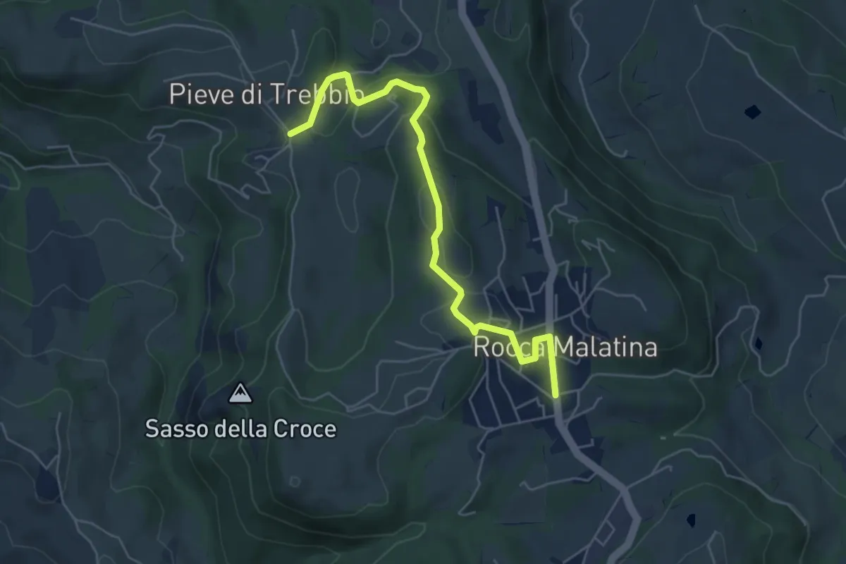
Easy · Trail
Rocca Malatina – Pieve di Trebbio
5.8 km · ↑ 178 m · 1 h 45 min · 11 km away
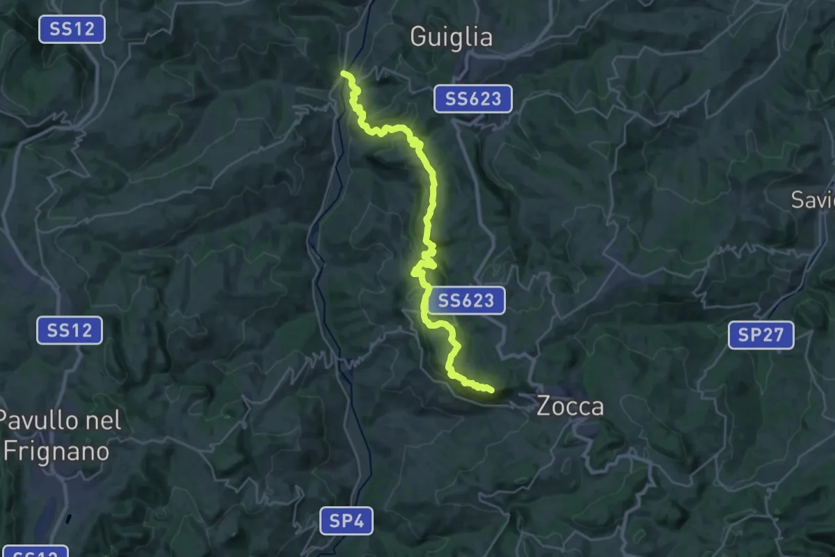
Demanding · Summit
CAI 400/2
26.9 km · ↑ 1280 m · 9 h 7 min · 11 km away
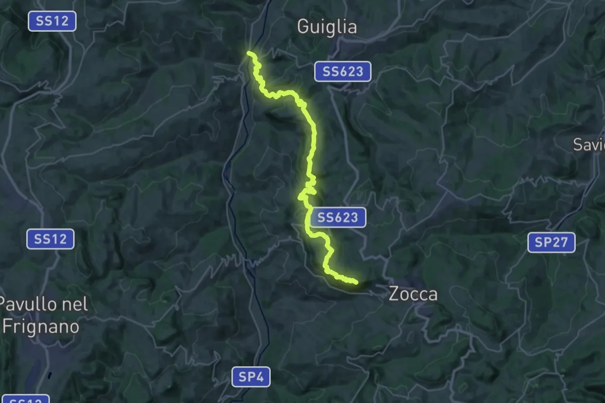
Demanding · Summit
Casona di Marano – Zocca
26.9 km · ↑ 1280 m · 9 h 7 min · 11 km away
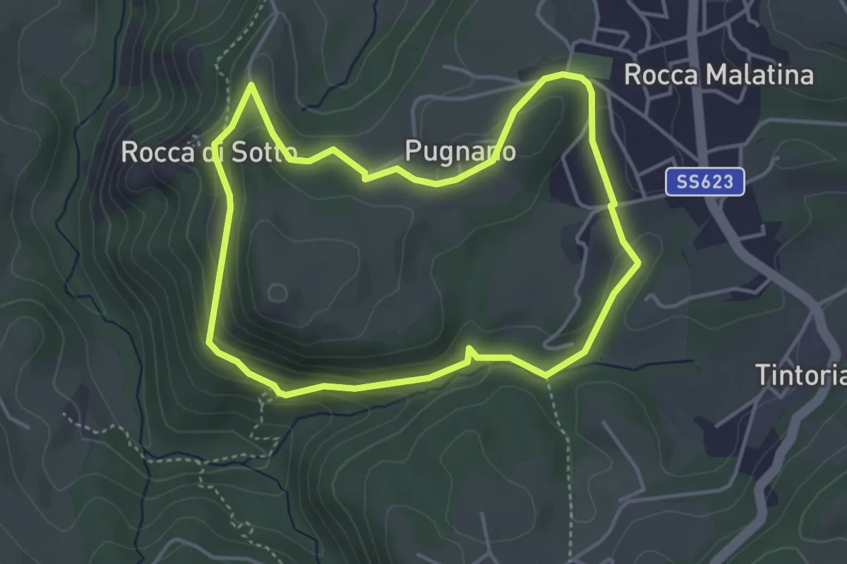
Medium · Summit
SAS2
4.0 km · ↑ 149 m · 1 h 19 min · 11 km away
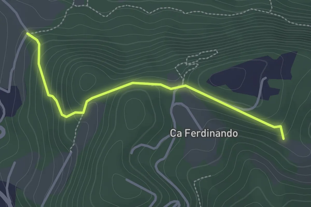
Easy · Trail
Ca' Beretta – La Lianda
2.9 km · ↑ 144 m · 59 min · 11 km away
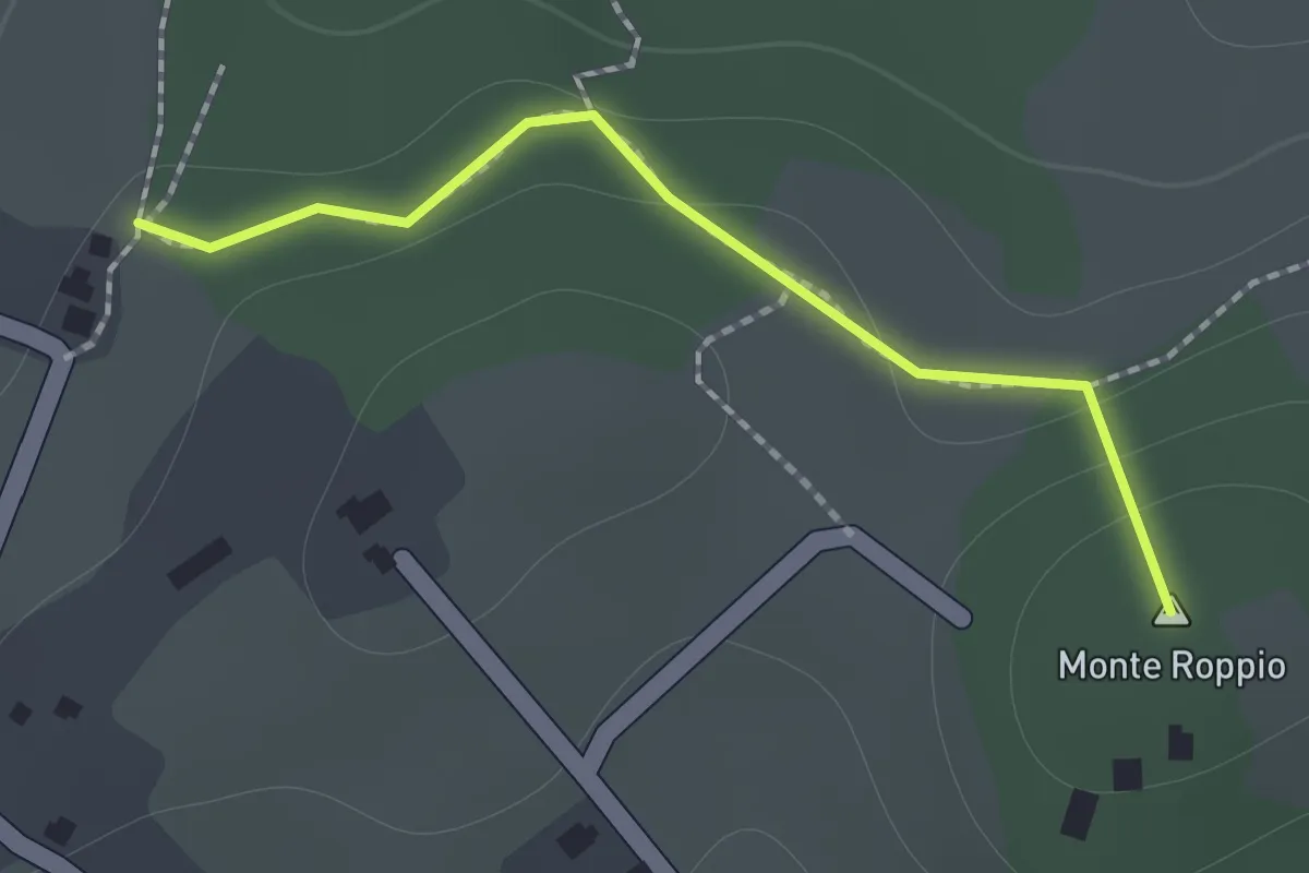
Medium · Summit
Percorso 428 – Percorso 426
1.2 km · ↑ 46 m · 23 min · 12 km away
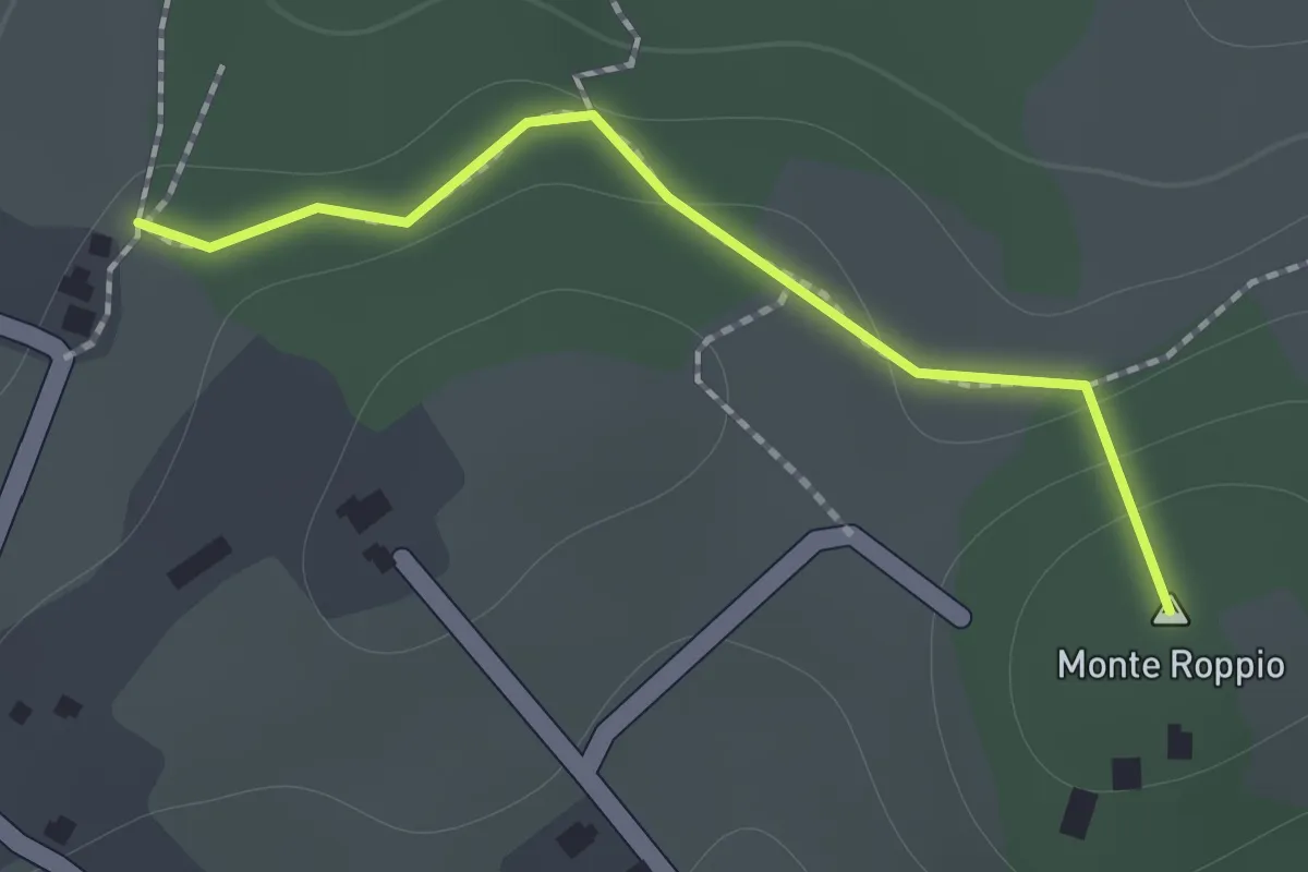
Medium · Summit
Percorso SAS11 – Percorso SAS10
1.2 km · ↑ 46 m · 23 min · 12 km away
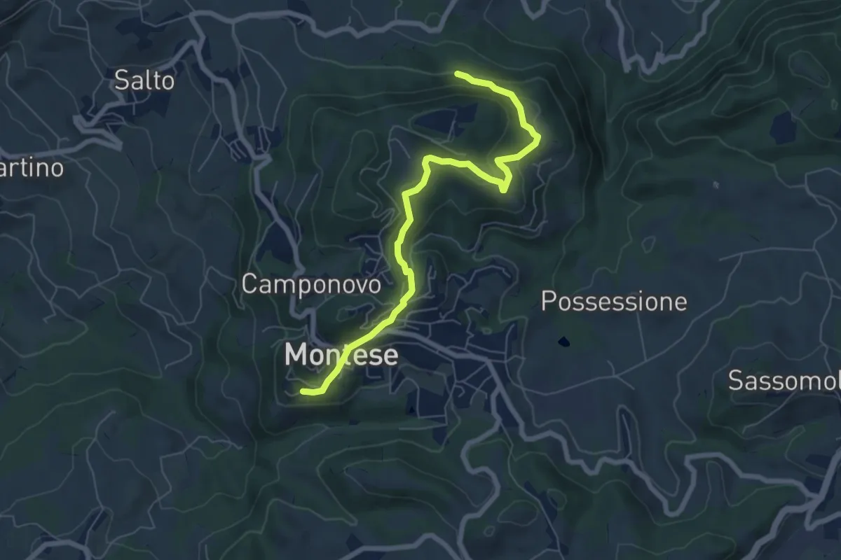
Easy · Trail
Percorso CAI 440A
6.9 km · ↑ 277 m · 2 h 14 min · 12 km away
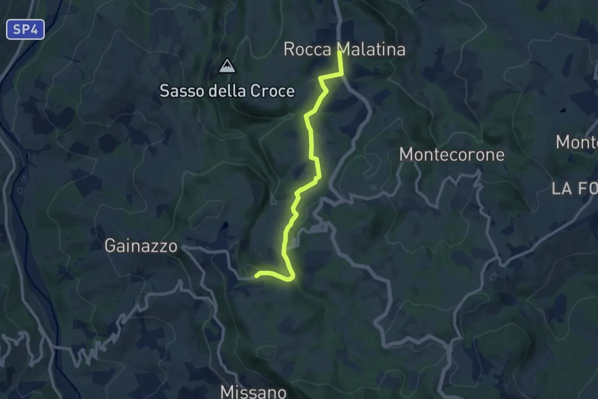
Medium · Trail
Rocca Malatina – Samone
7.8 km · ↑ 207 m · 2 h 17 min · 12 km away
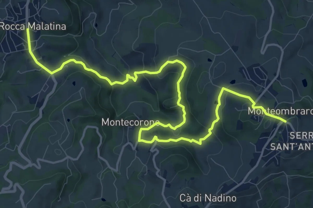
Medium · Trail
Rocca Malatina – Monteombraro
15.1 km · ↑ 525 m · 4 h 42 min · 12 km away
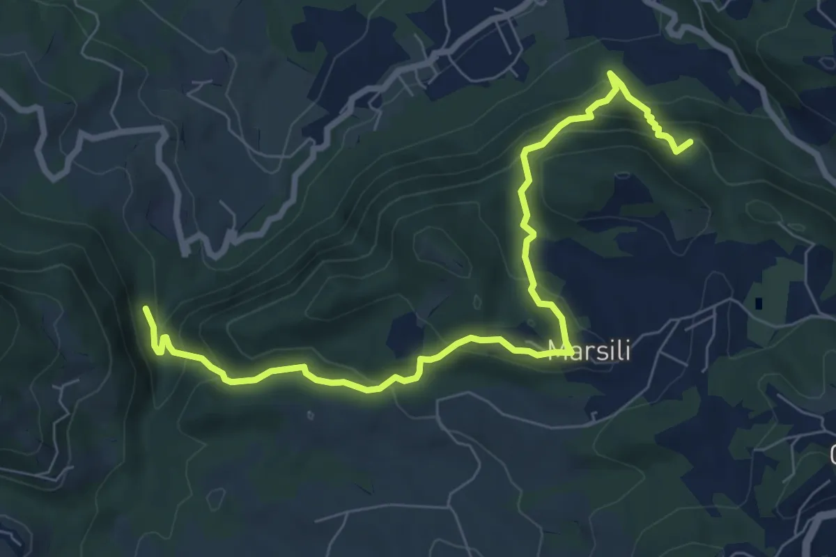
Medium · Summit
Percorso CAI 456
8.5 km · ↑ 556 m · 3 h 13 min · 12 km away
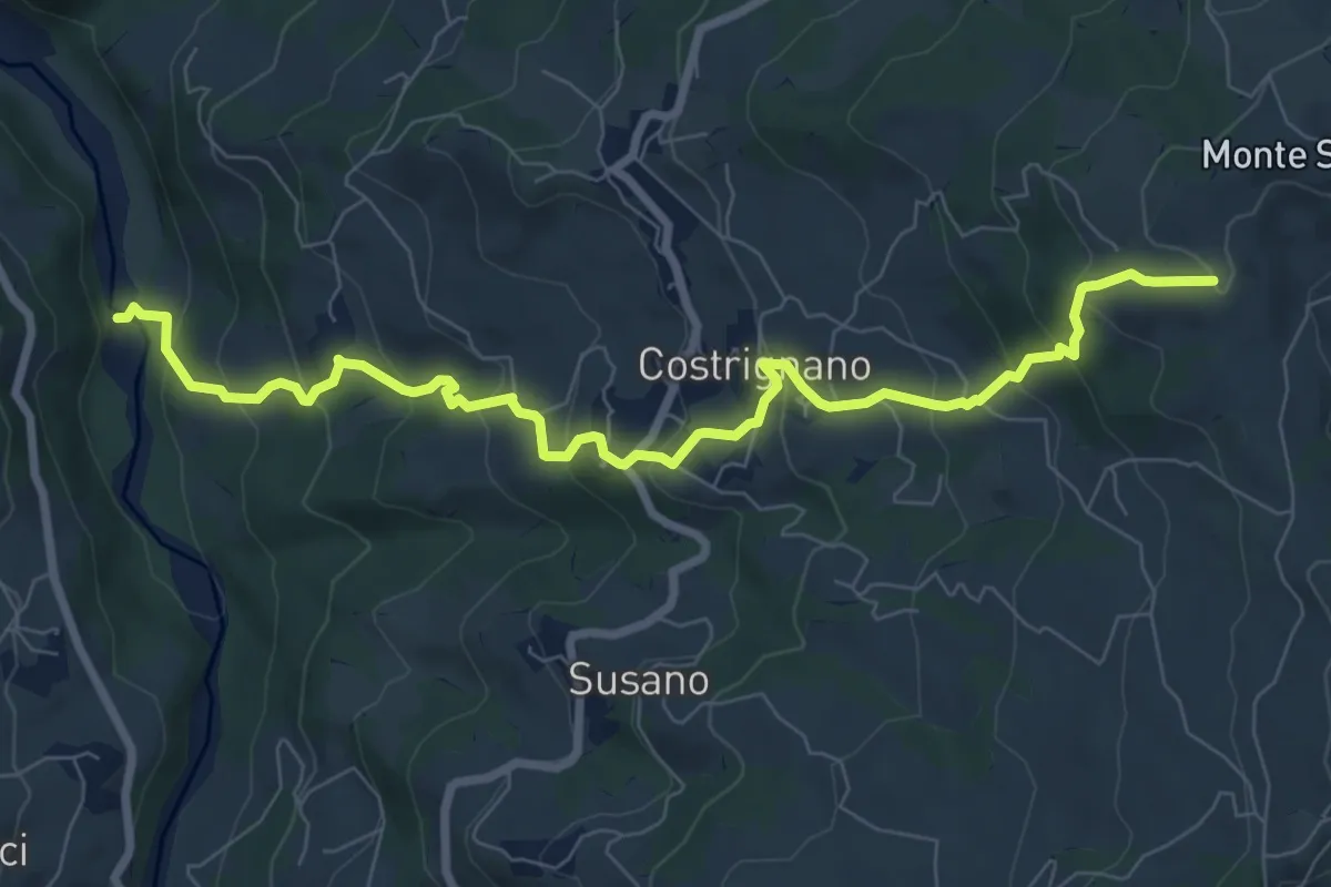
Medium · Trail
Torrente Dragone - Castellaccio - Costrignano - Croce di Costrignano
9.2 km · ↑ 618 m · 3 h 31 min · 12 km away
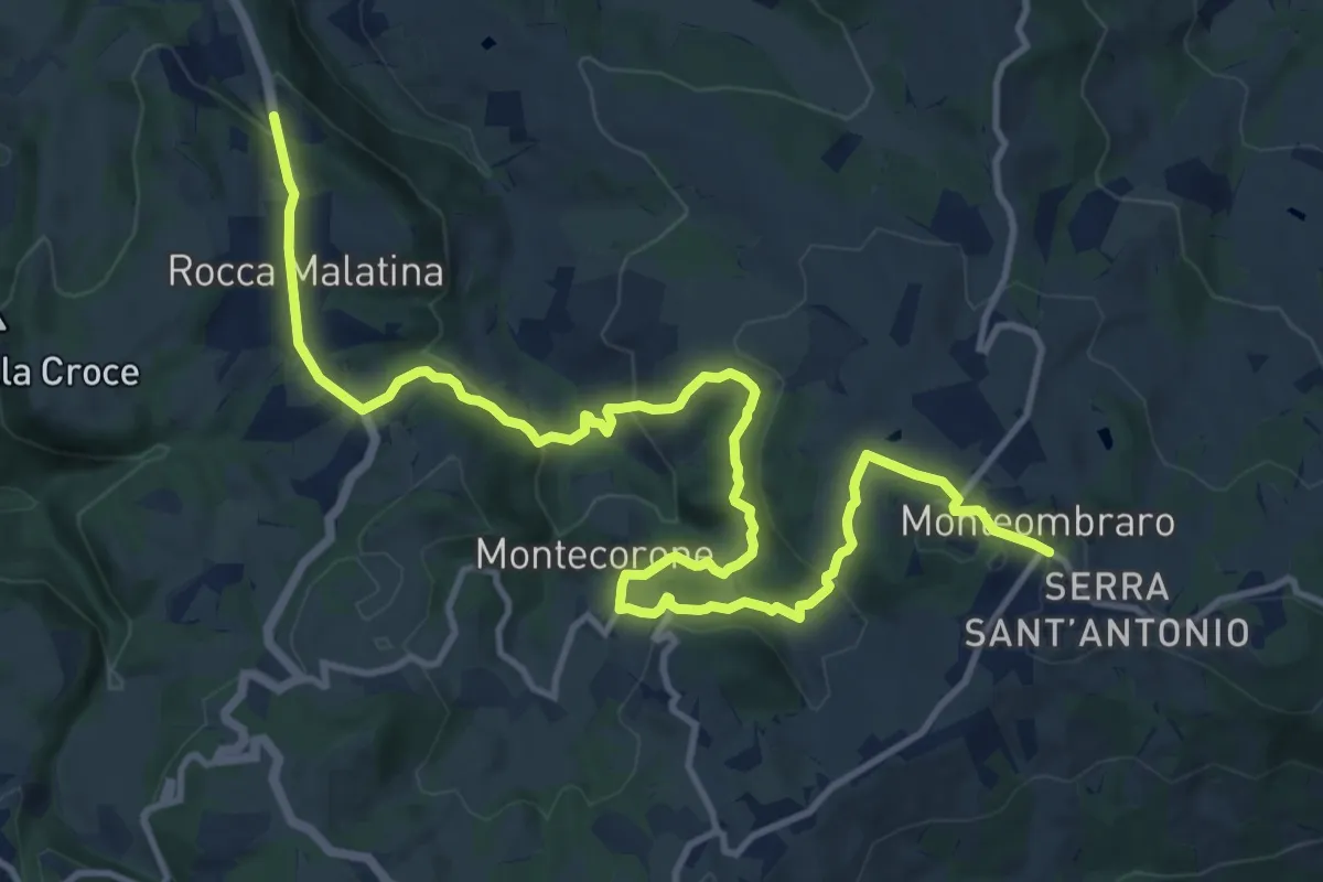
Medium · Trail
Rocca Malatina – Monteombraro
16.6 km · ↑ 571 m · 5 h 10 min · 12 km away
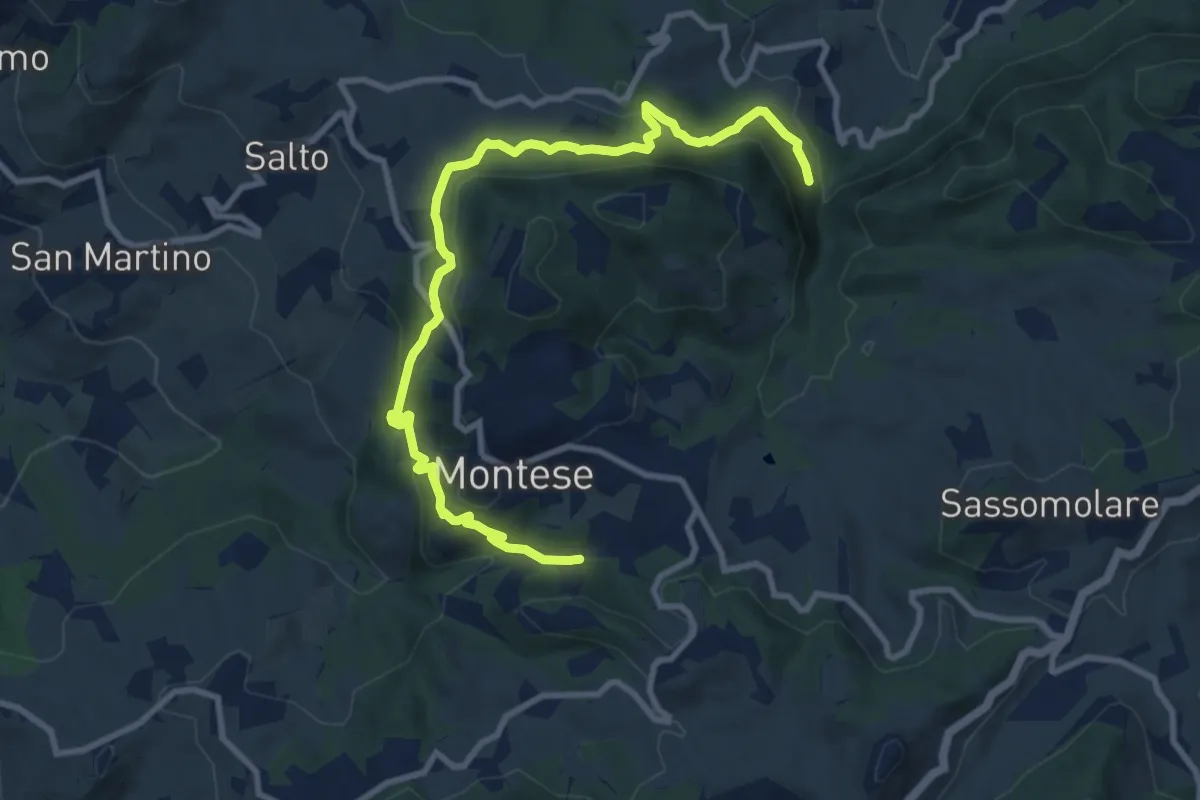
Medium · Trail
Percorso CAI 440
11.5 km · ↑ 618 m · 4 h 3 min · 12 km away
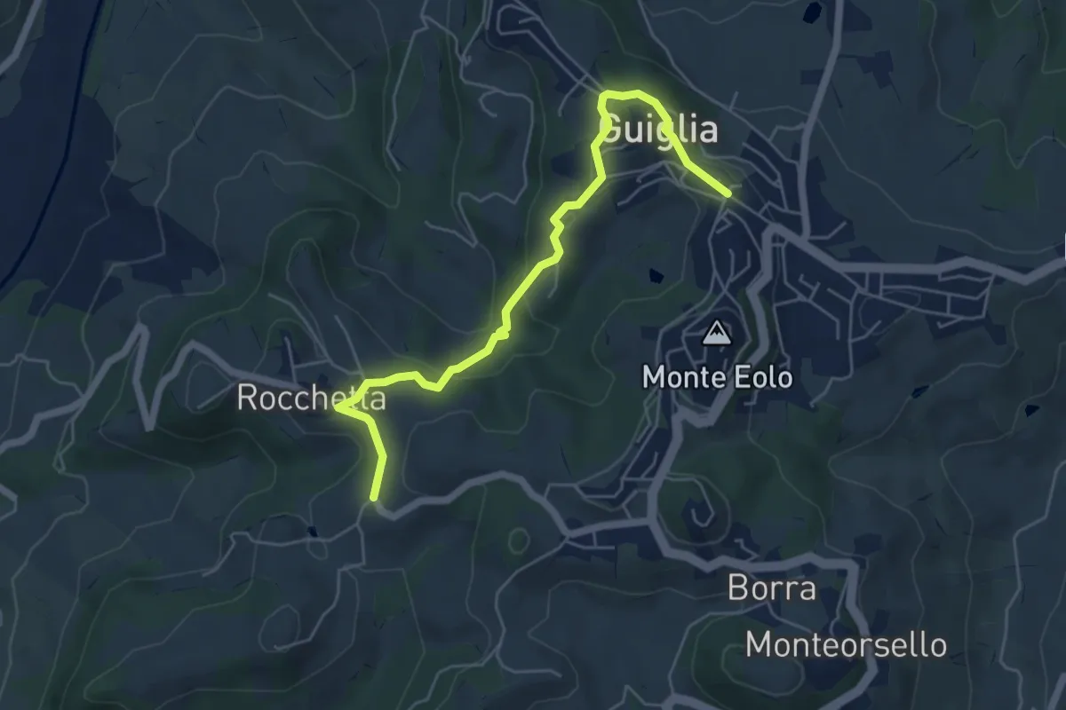
Medium · Trail
Percorso 410 – Guiglia
5.8 km · ↑ 208 m · 1 h 49 min · 12 km away
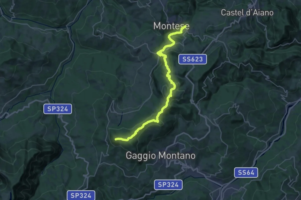
Demanding · Summit
Percorso CAI 400/4
24.6 km · ↑ 737 m · 7 h 25 min · 12 km away
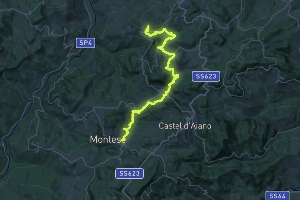
Demanding · Summit
Percorso CAI 400/3
31.2 km · ↑ 1458 m · 10 h 32 min · 12 km away
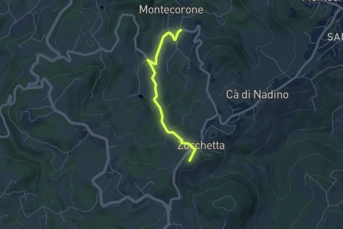
Easy · Summit
Montecorone – Zocca
4.6 km · ↑ 199 m · 1 h 31 min · 13 km away
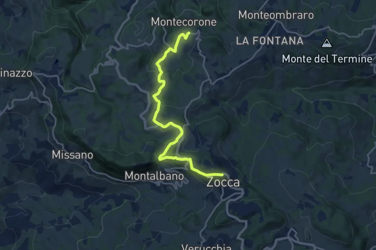
Medium · Trail
Montecorone – Zocca
12.0 km · ↑ 363 m · 3 h 37 min · 13 km away
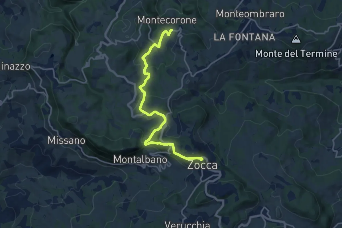
Medium · Trail
Montecorone – Zocca
12.1 km · ↑ 366 m · 3 h 38 min · 13 km away
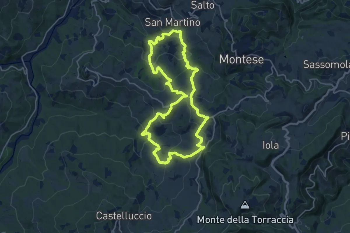
Medium · Trail
Via dei Mulini
14.0 km · ↑ 687 m · 4 h 59 min · 13 km away
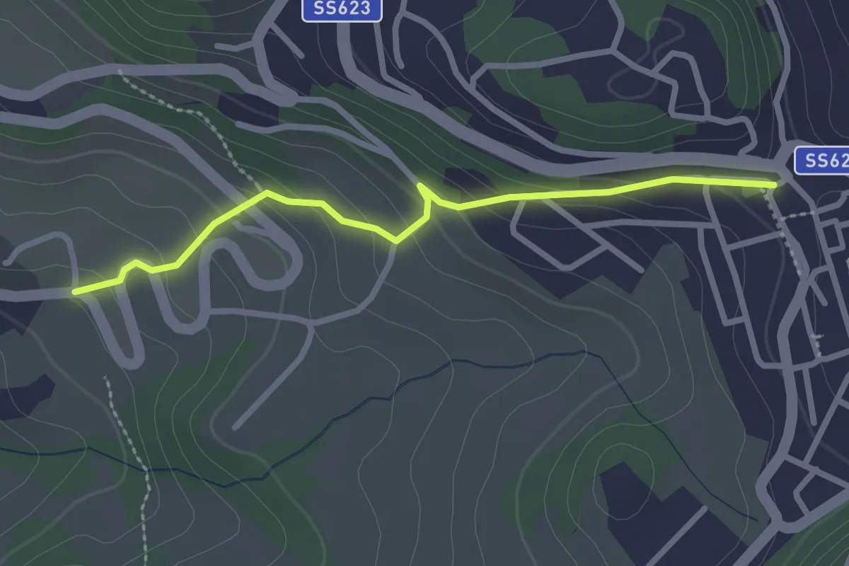
Easy · Trail
Percorso 400/3 – Zocca
2.5 km · ↑ 147 m · 55 min · 13 km away
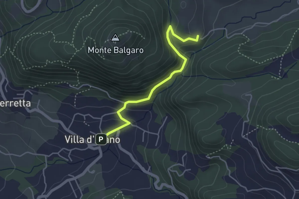
Medium · Trail
Percorso CAI 168B
3.7 km · ↑ 215 m · 1 h 20 min · 13 km away
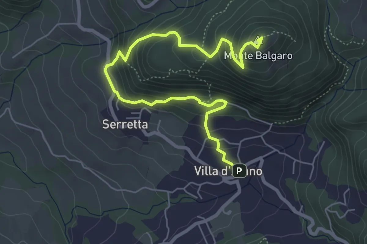
Medium · Summit
Percorso CAI 168
6.6 km · ↑ 478 m · 2 h 35 min · 13 km away
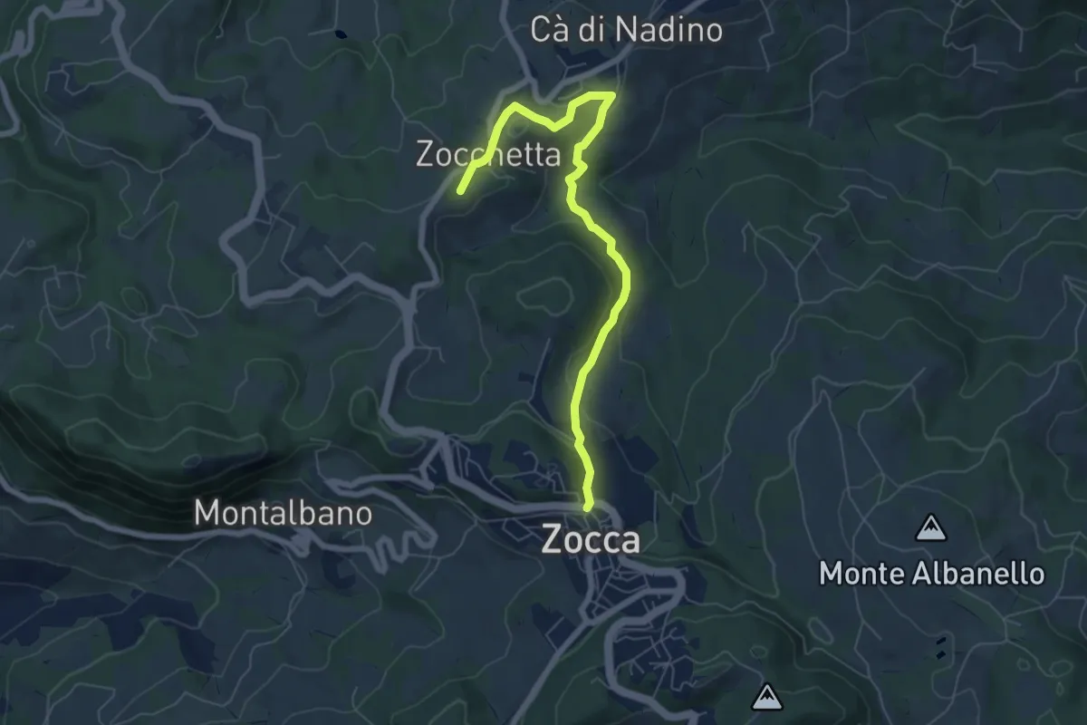
Easy · Summit
Campazzo – Zocca
6.9 km · ↑ 236 m · 2 h 8 min · 13 km away
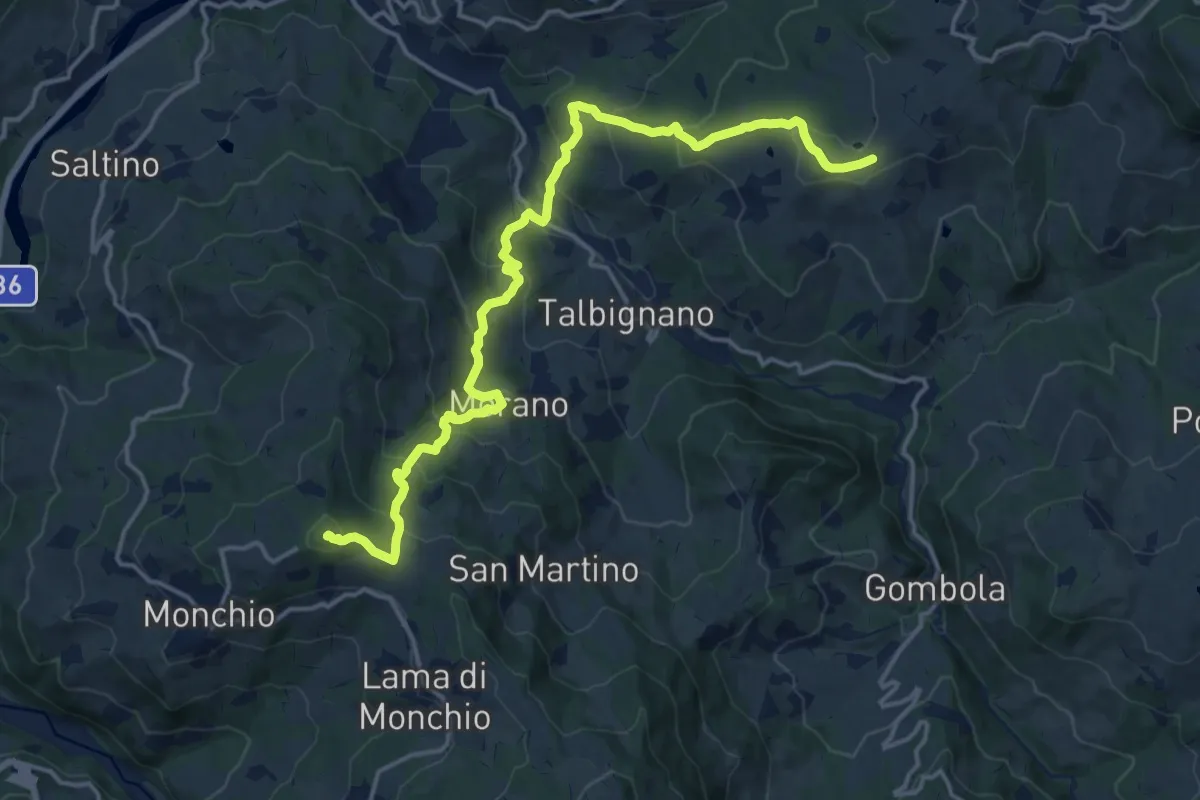
Demanding · Summit
Casa Matteazzi - I Prati - Molino del Sasso - Morano - Monte Santa Giulia
18.7 km · ↑ 1019 m · 6 h 38 min · 13 km away
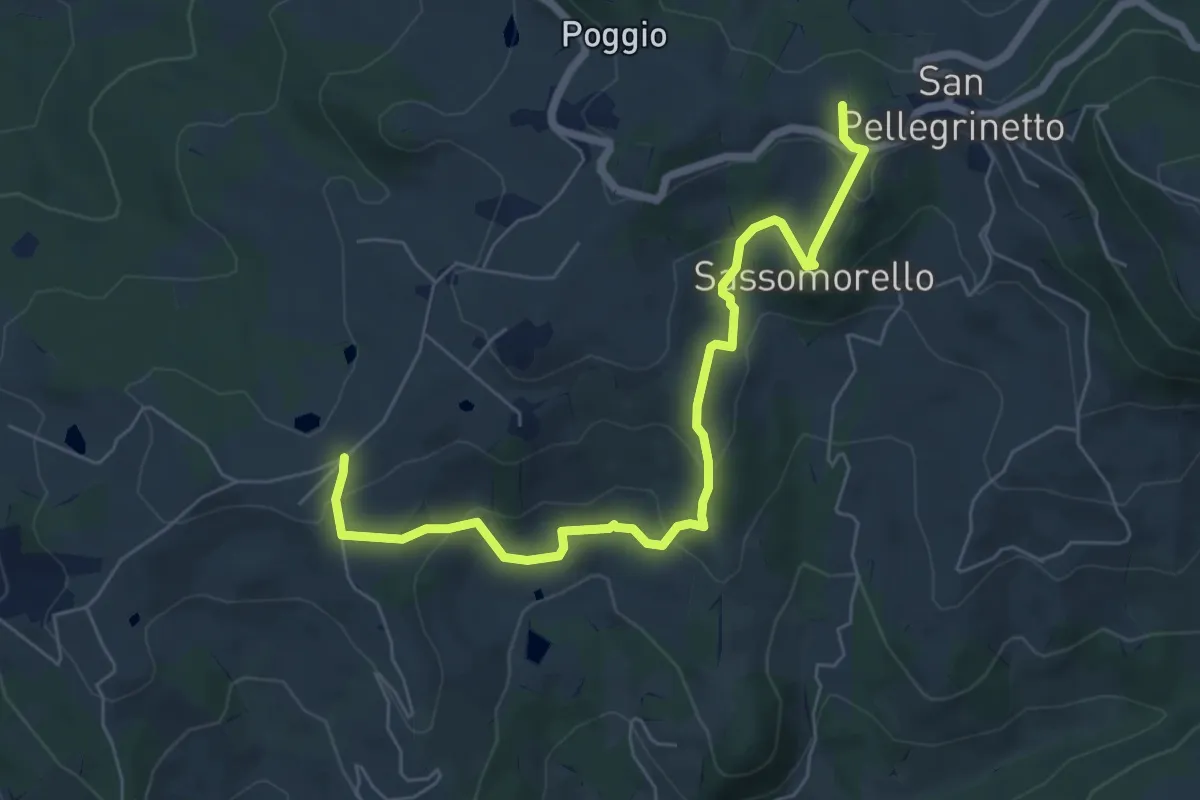
Medium · Trail
San Pellegrinetto - Sassomorello - La Canalina - Casa Matteazzi
7.2 km · ↑ 334 m · 2 h 25 min · 13 km away
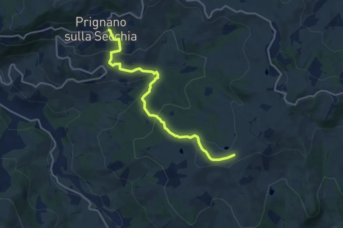
Medium · Trail
Prignano – Casa Matteazzi
8.7 km · ↑ 382 m · 2 h 53 min · 13 km away
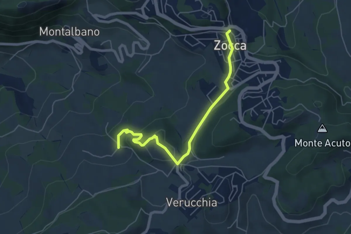
Easy · Trail
Zocca – Percorso 400/3
5.2 km · ↑ 159 m · 1 h 34 min · 13 km away
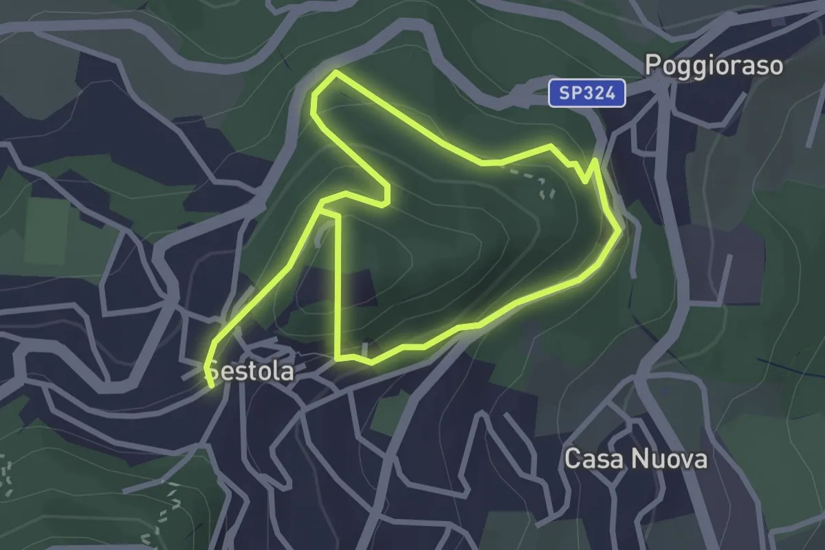
Easy · Trail
Percorso comunale 10
4.6 km · ↑ 297 m · 1 h 44 min · 13 km away
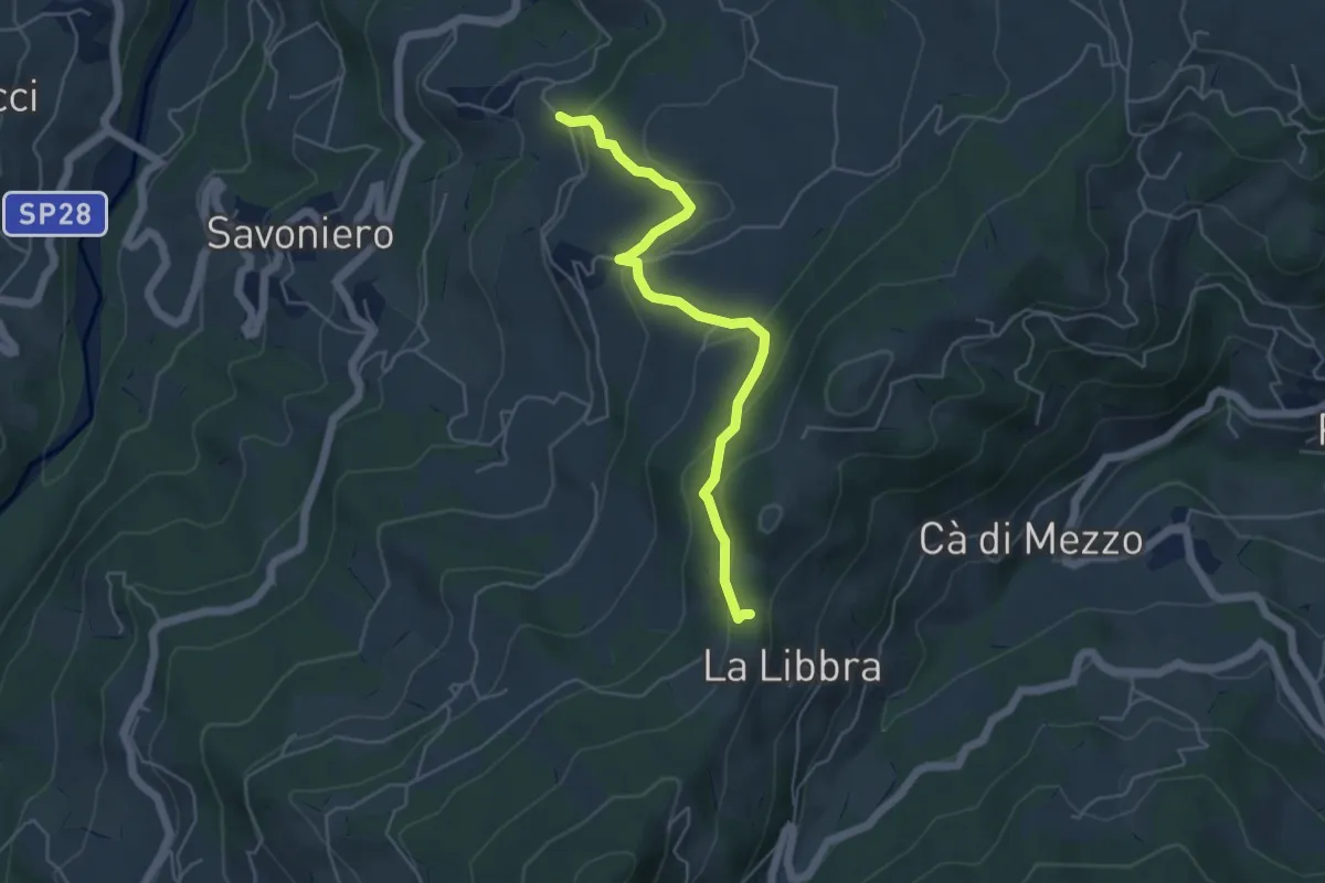
Easy · Trail
Ca d'Andrea (Percorso 578) – La Libbra (Percorso 574)
5.2 km · ↑ 254 m · 1 h 46 min · 13 km away
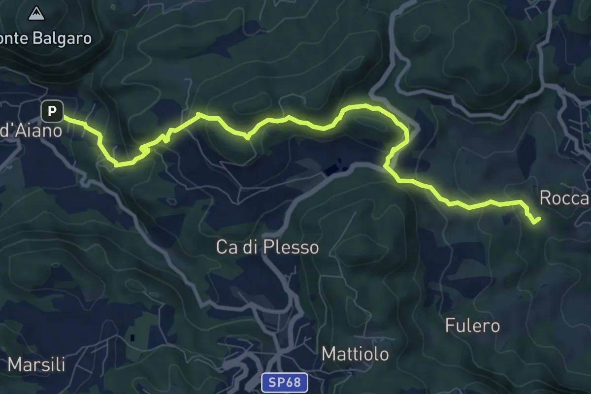
Medium · Trail
Percorso CAI 160
10.0 km · ↑ 582 m · 3 h 38 min · 13 km away
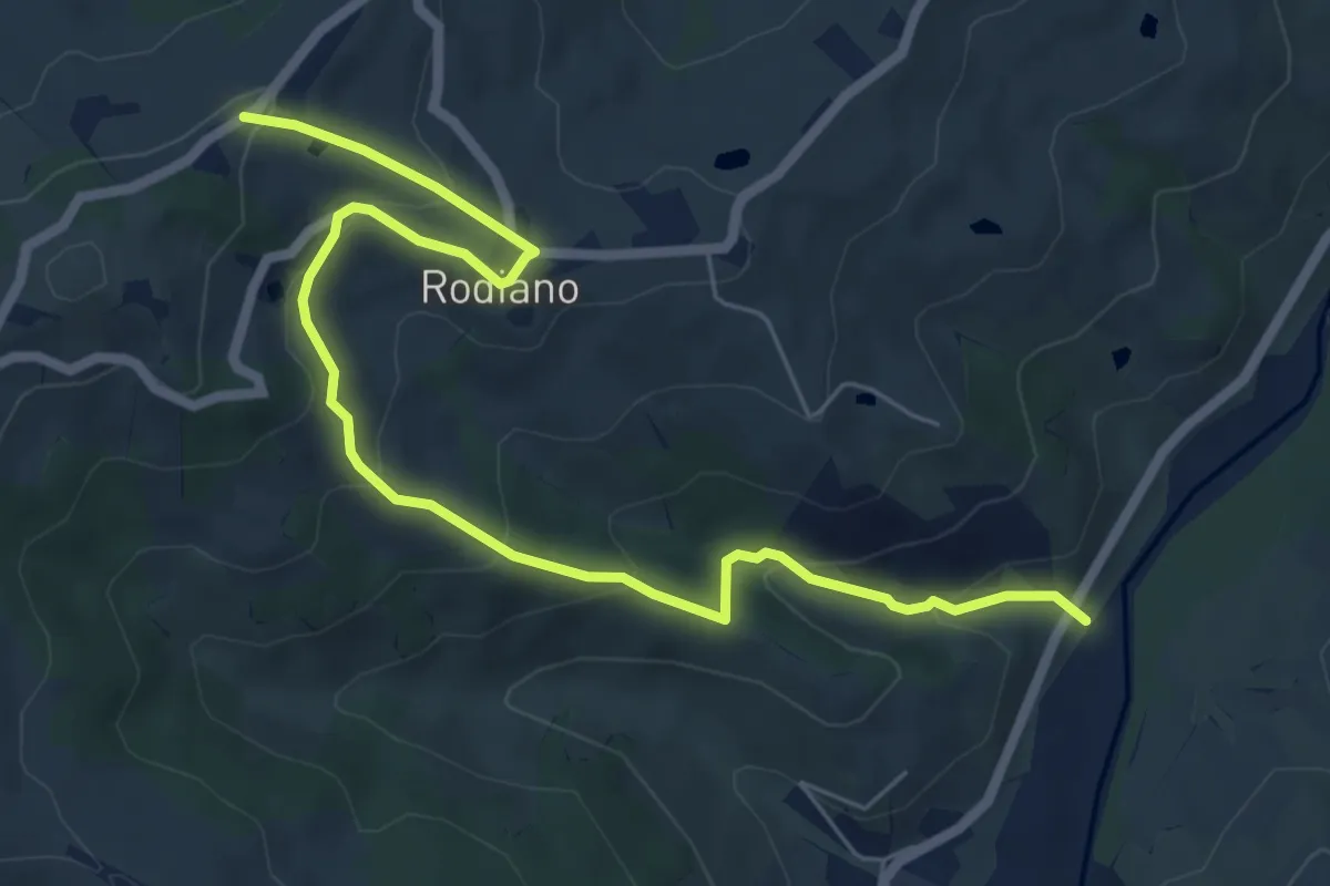
Medium · Trail
SP4 – Percorso 412
7.7 km · ↑ 400 m · 2 h 41 min · 13 km away
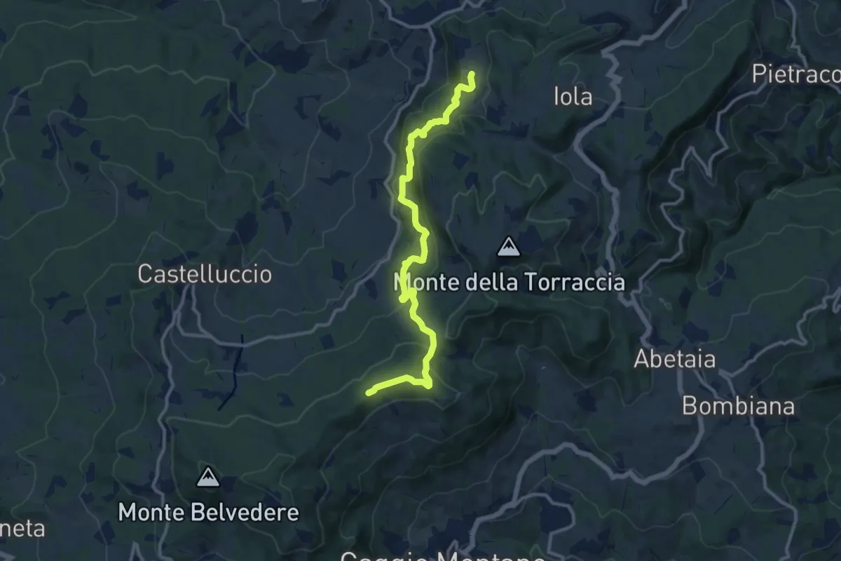
Medium · Trail
Monteforte – Chiesa di Ronchidoso
11.9 km · ↑ 500 m · 3 h 54 min · 13 km away
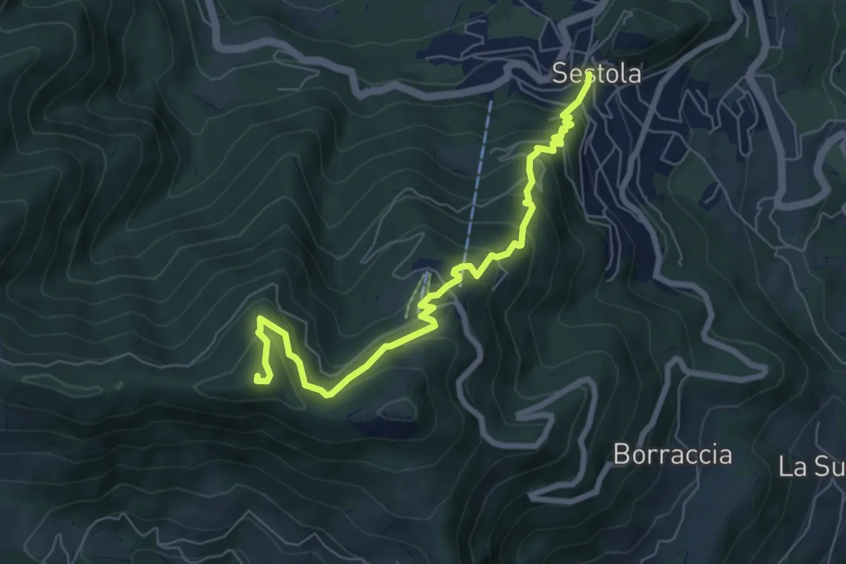
Medium · Summit
Percorso comunale 6
6.8 km · ↑ 544 m · 2 h 48 min · 13 km away
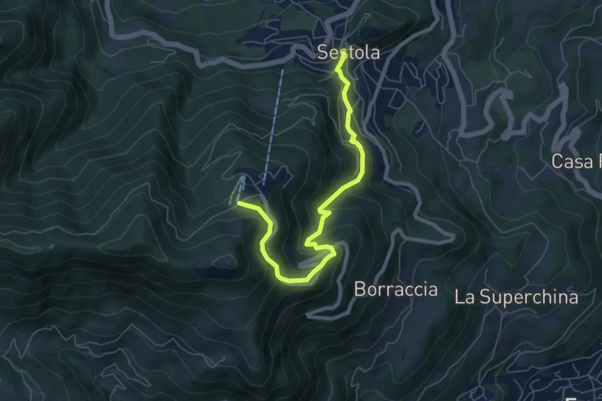
Medium · Trail
Percorso comunale 8
6.4 km · ↑ 402 m · 2 h 23 min · 13 km away
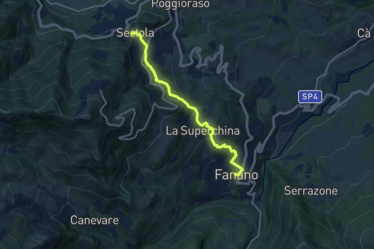
Medium · Trail
percorso comunale 9
8.2 km · ↑ 417 m · 2 h 50 min · 13 km away
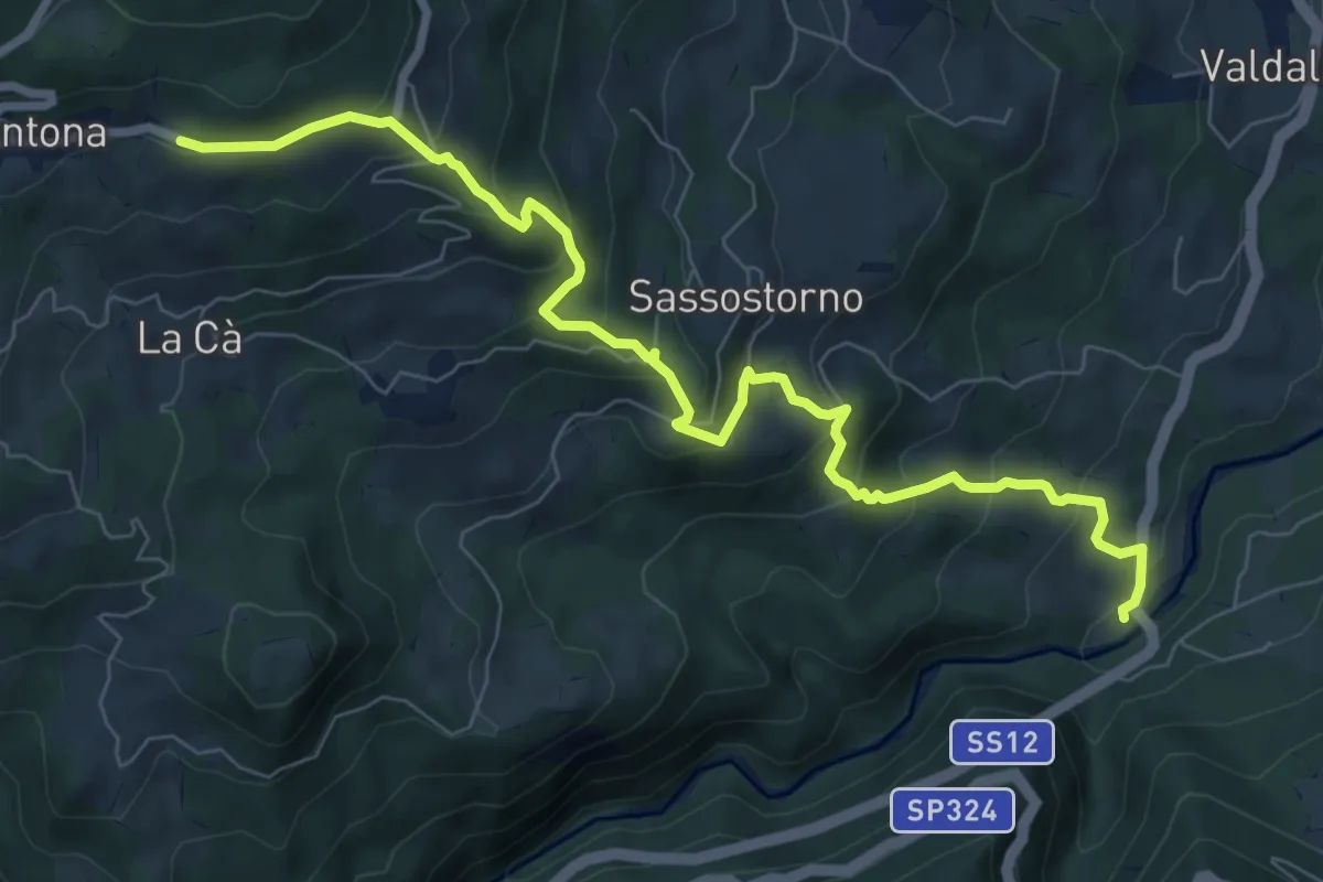
Medium · Trail
Ponte di Strettara – Percorso 579 Via Vandelli (La Santona)
9.3 km · ↑ 622 m · 3 h 32 min · 13 km away
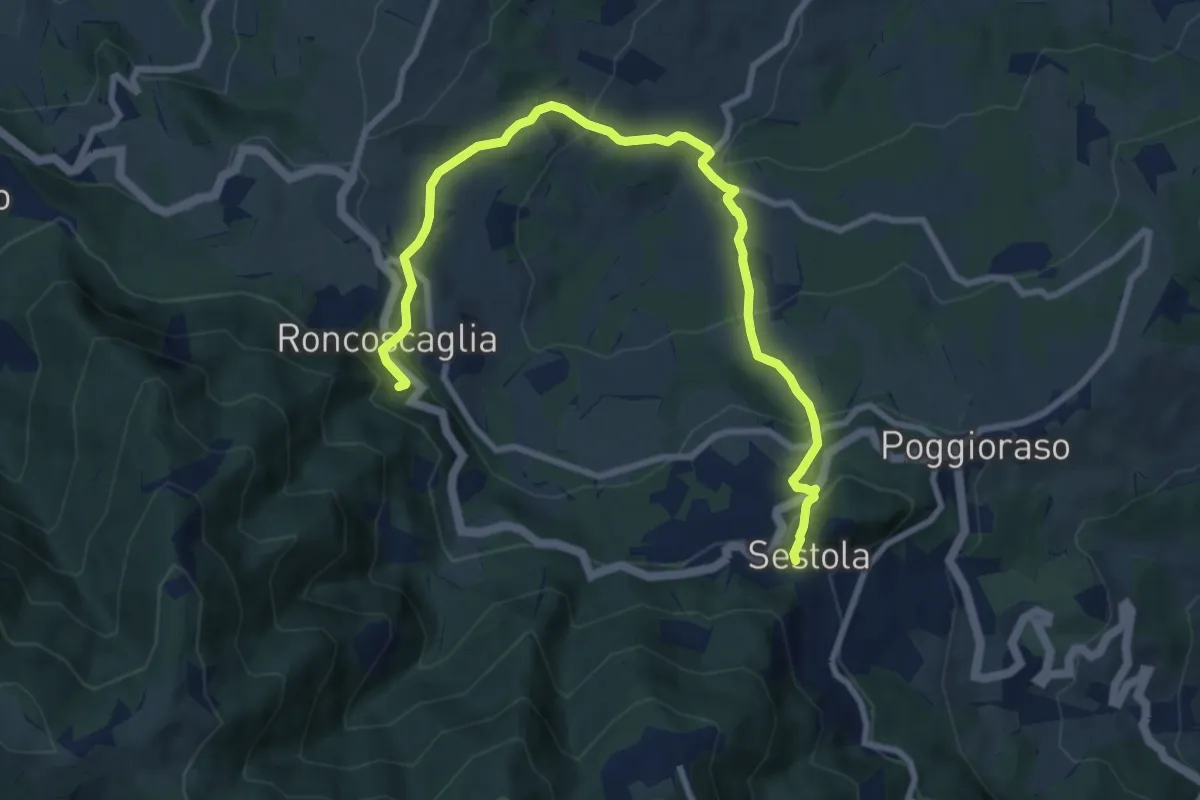
Medium · Trail
percorso comunale 5
10.2 km · ↑ 572 m · 3 h 39 min · 13 km away
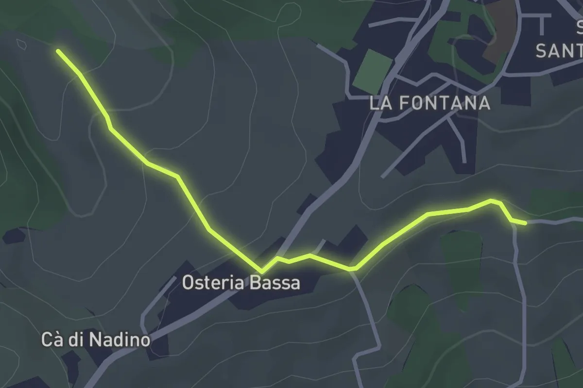
Easy · Trail
Percorso 422/1 – Percorso 422/2
3.1 km · ↑ 122 m · 59 min · 13 km away
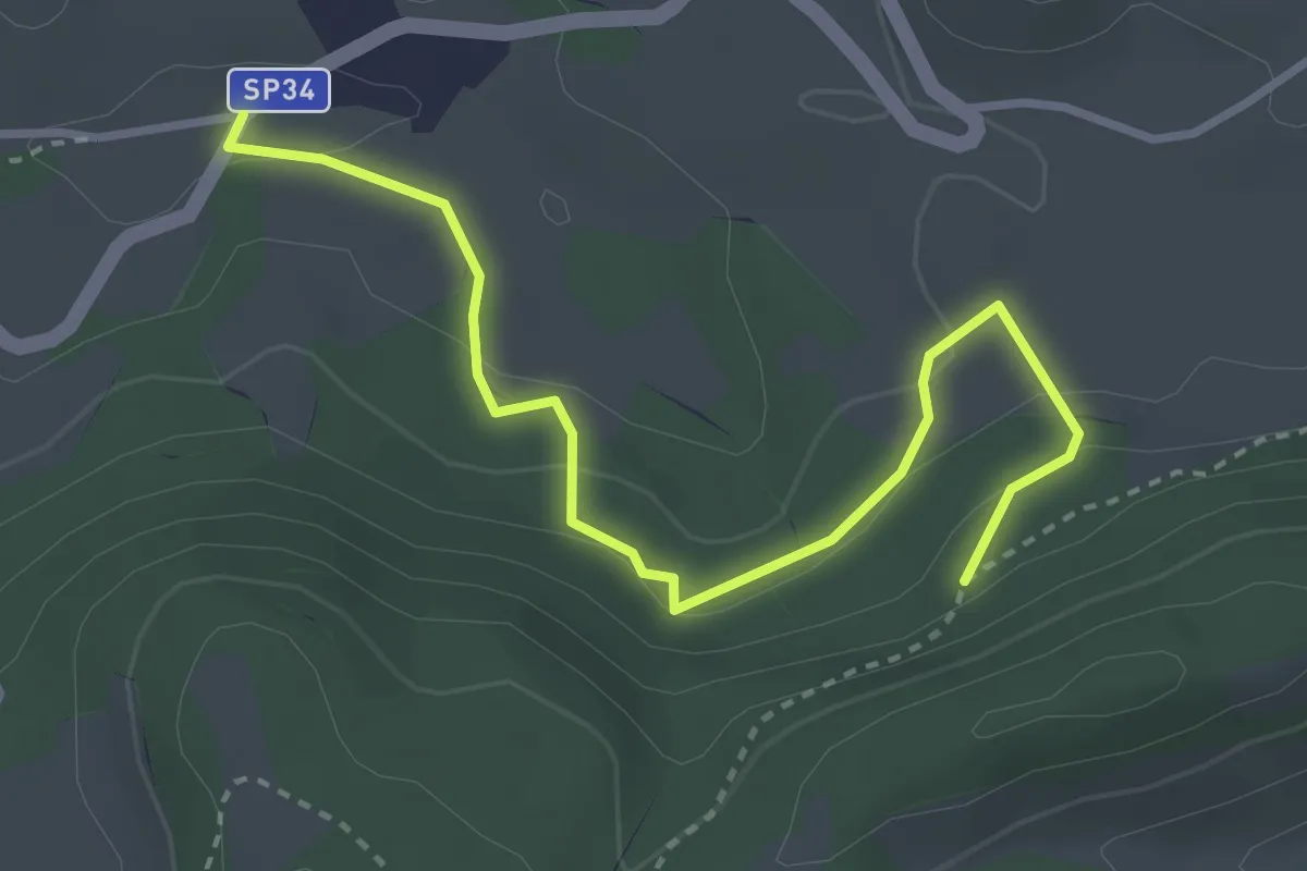
Easy · Trail
Percorso CAI 442A
3.7 km · ↑ 162 m · 1 h 13 min · 13 km away
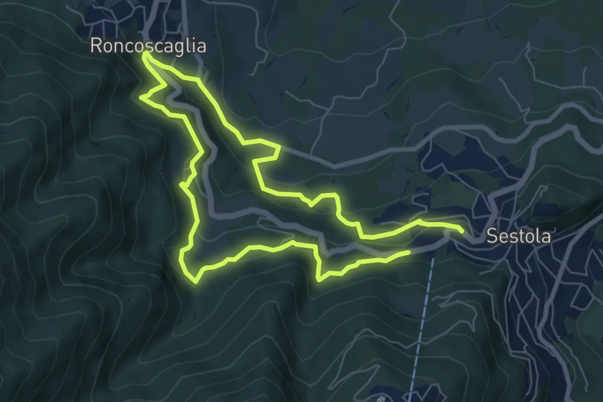
Medium · Trail
Percorso comunale 4
11.7 km · ↑ 669 m · 4 h 12 min · 13 km away
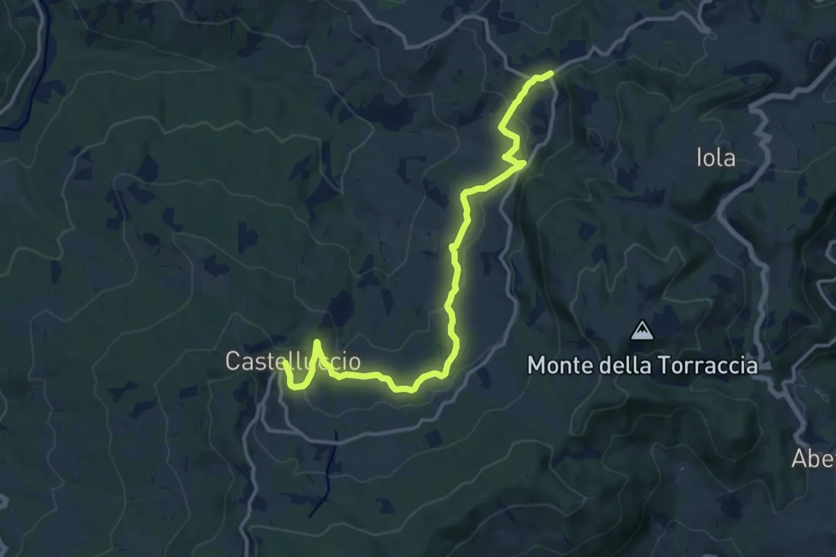
Medium · Trail
Maserno – Castelluccio
13.3 km · ↑ 455 m · 4 h 8 min · 13 km away