Trails near Pavullo nel Frignano
115 hikes starting within 15 km, nearest first.
Nearest first, page 3 of 3
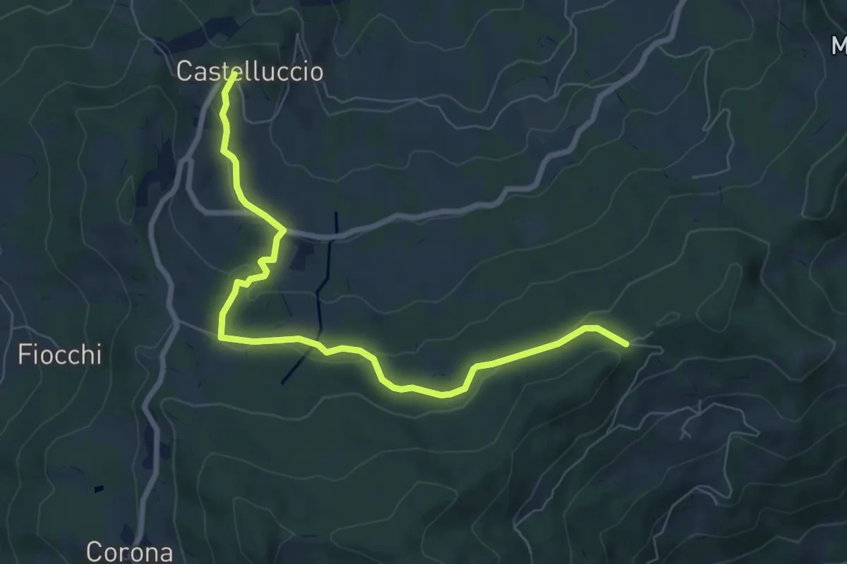
Medium · Trail
Castelluccio – Chiesa di Ronchidoso
8.1 km · ↑ 246 m · 2 h 26 min · 13 km away
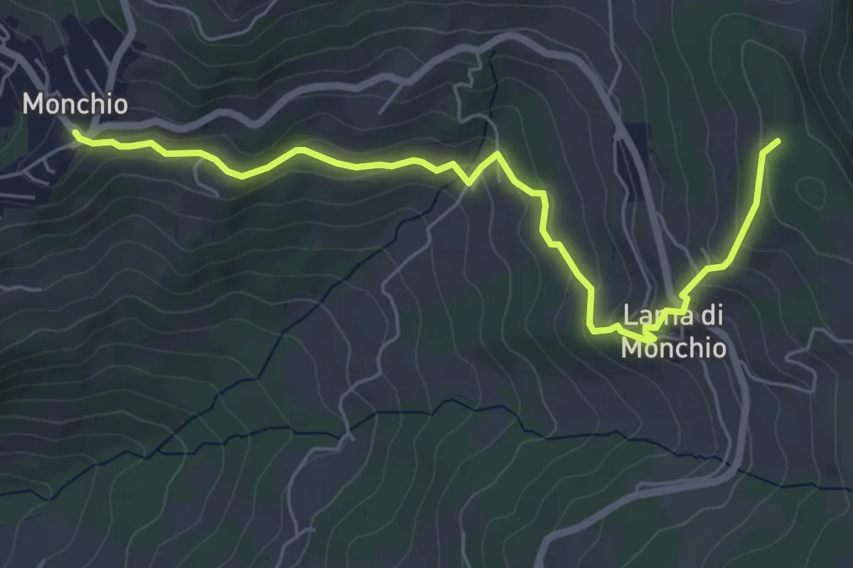
Easy · Trail
Monchio – Percorso 574
6.3 km · ↑ 286 m · 2 h 6 min · 13 km away
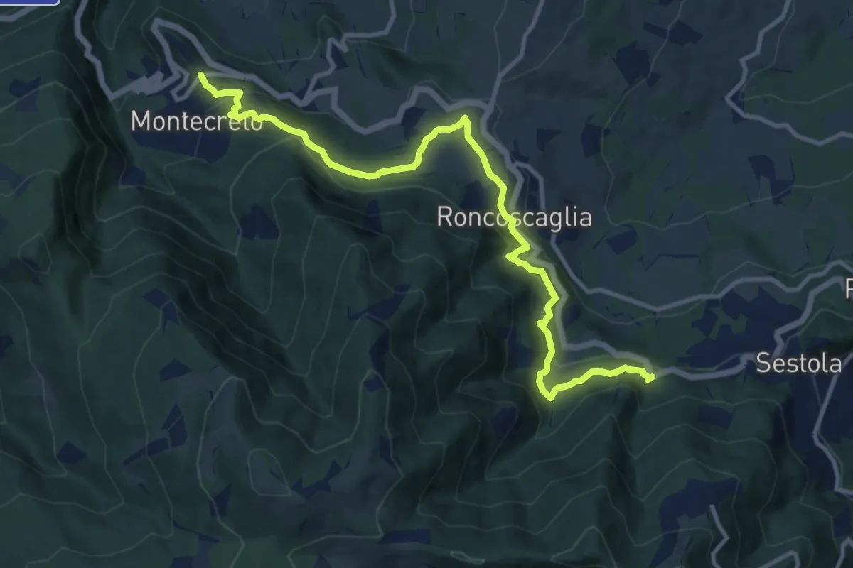
Medium · Trail
Montecreto – La Rasola
12.2 km · ↑ 523 m · 4 h 1 min · 14 km away
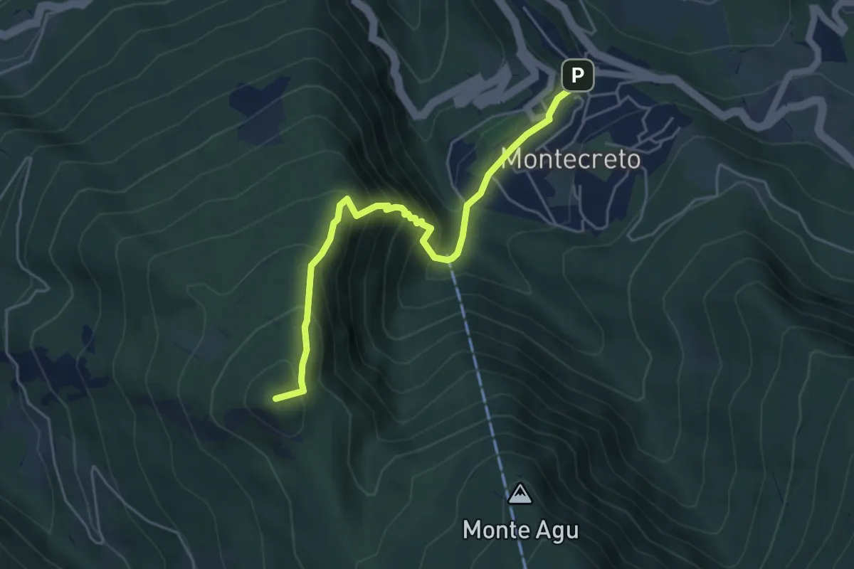
Demanding · Summit
Montecreto – Serra Golara
5.0 km · ↑ 500 m · 2 h 16 min · 14 km away
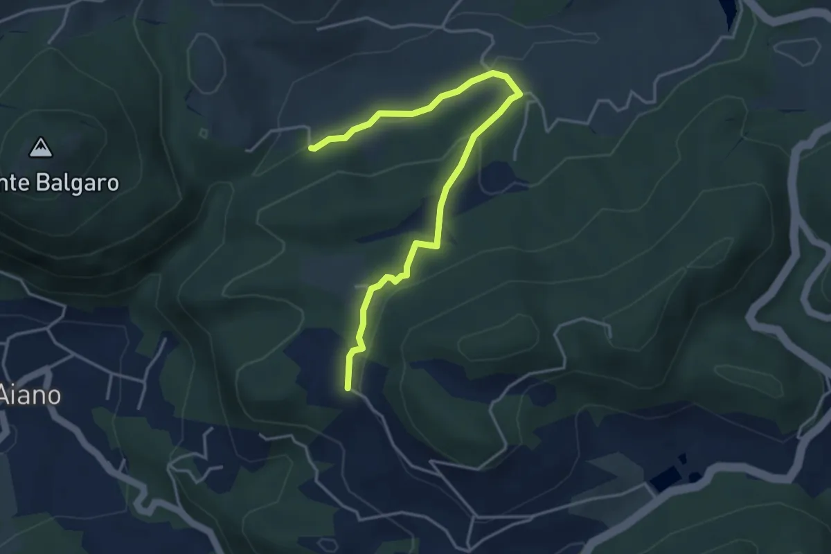
Easy · Trail
Percorso CAI 160A
4.3 km · ↑ 116 m · 1 h 16 min · 14 km away
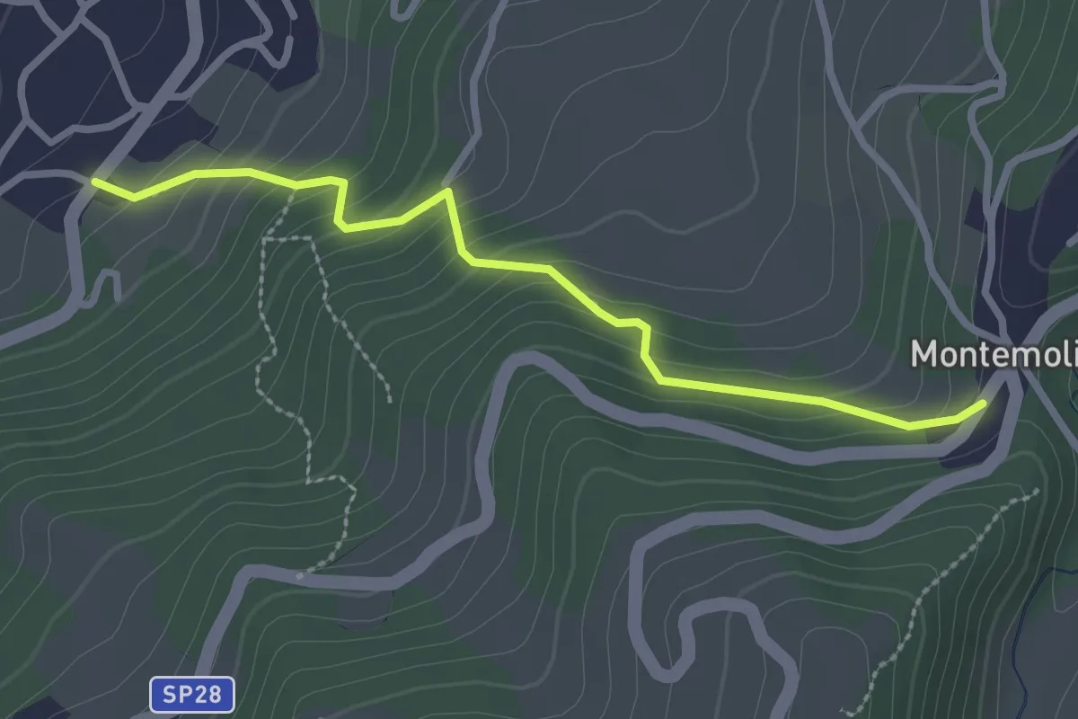
Easy · Trail
Palagano - Montemolino
2.7 km · ↑ 207 m · 1 h 6 min · 14 km away
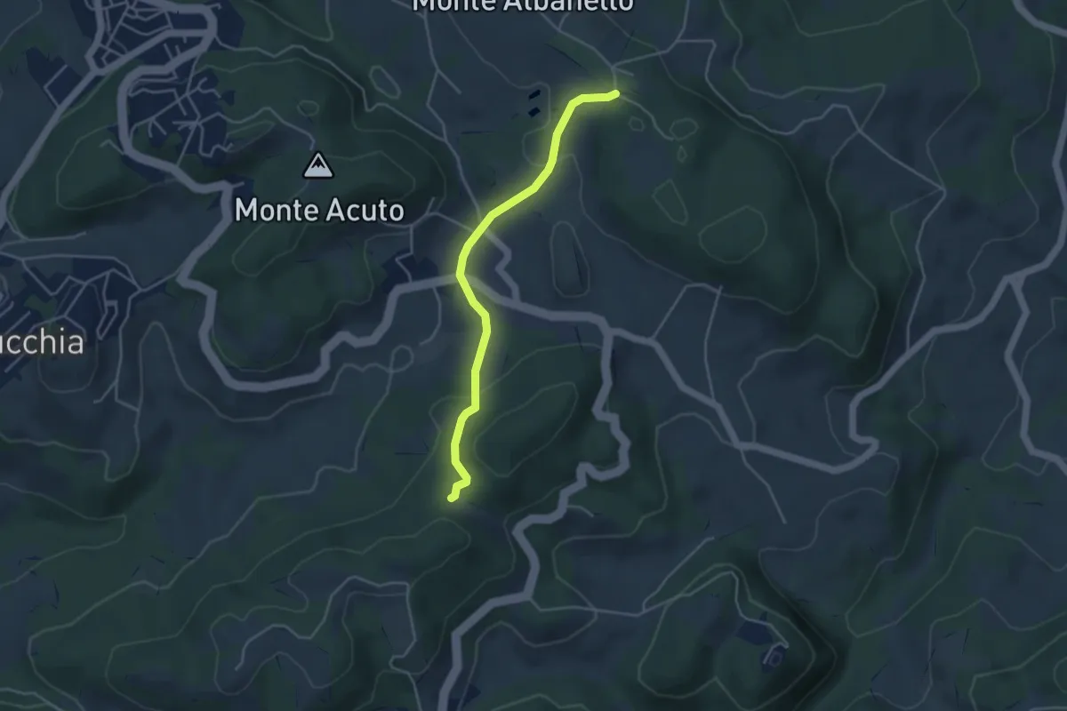
Easy · Trail
Percorso 422/2 – Percorso 422/2
4.0 km · ↑ 128 m · 1 h 14 min · 14 km away
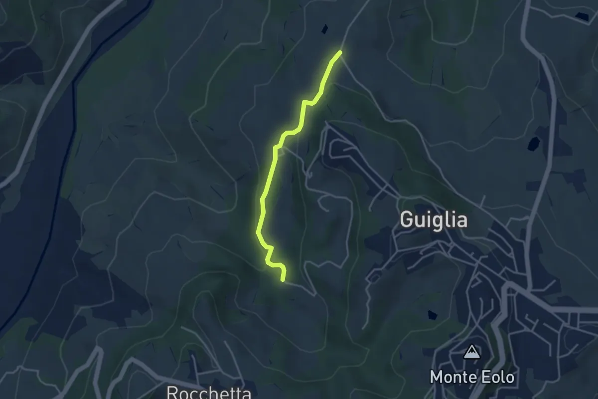
Medium · Trail
Percorso 406 – Percorso 408A
3.1 km · ↑ 88 m · 56 min · 14 km away
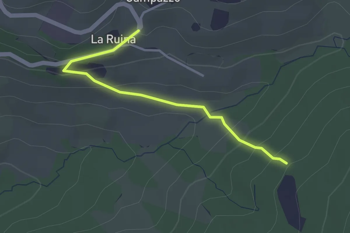
Easy · Trail
Variante 10
2.9 km · ↑ 141 m · 59 min · 14 km away
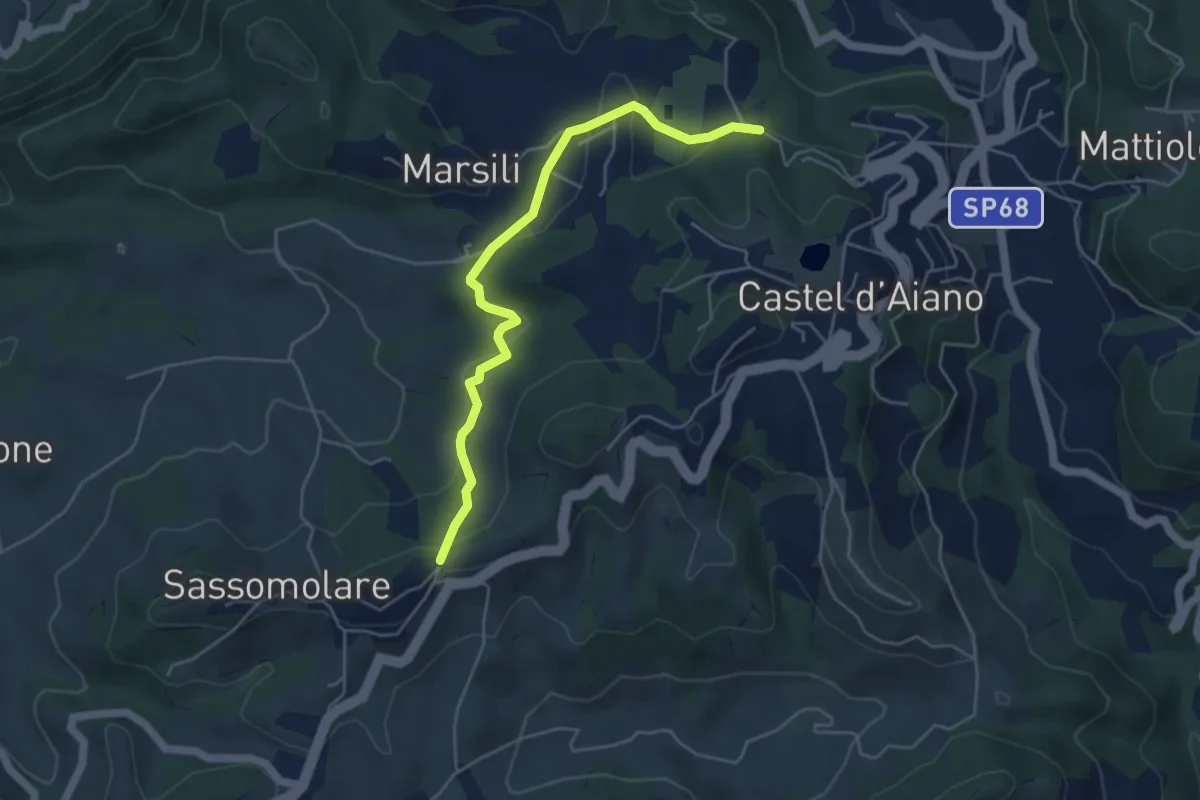
Easy · Trail
Bivio 456 (Magnano) – Bivio 170 (Selvane')
5.0 km · ↑ 149 m · 1 h 31 min · 14 km away
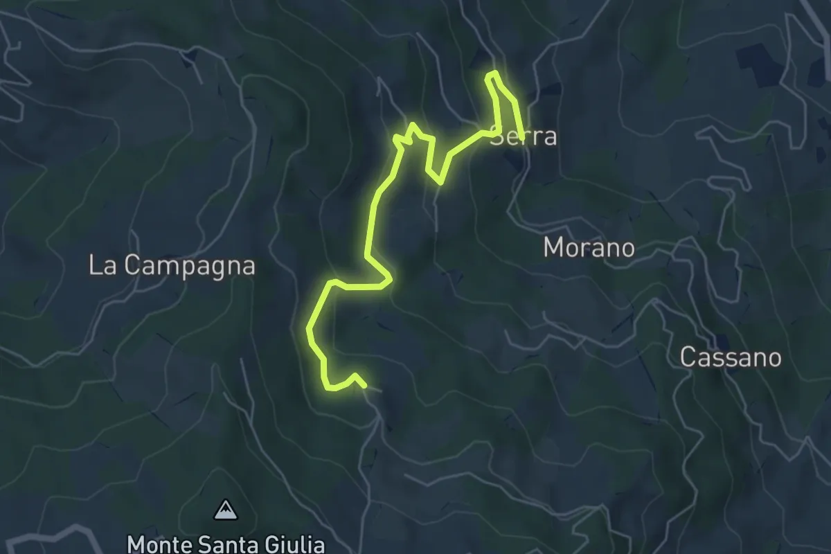
Easy · Trail
Variante 11
5.9 km · ↑ 277 m · 2 h · 14 km away
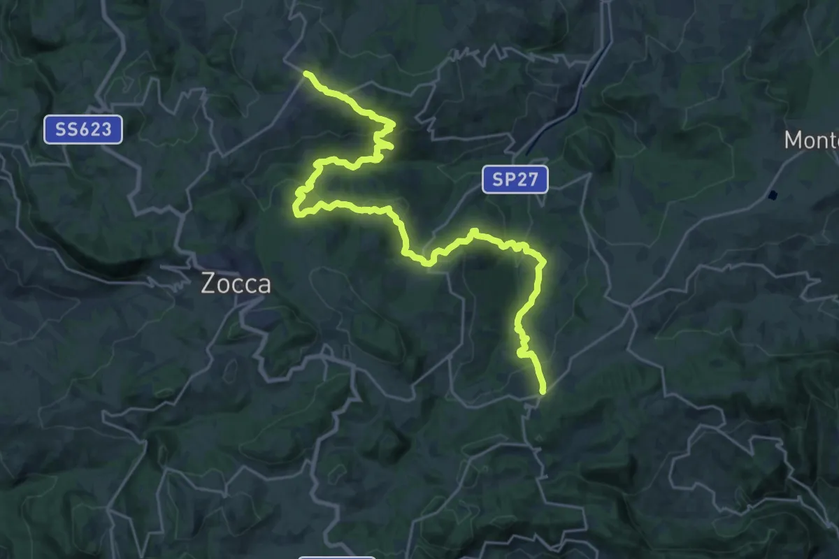
Medium · Trail
Percorso CAI 432
14.1 km · ↑ 661 m · 4 h 58 min · 15 km away
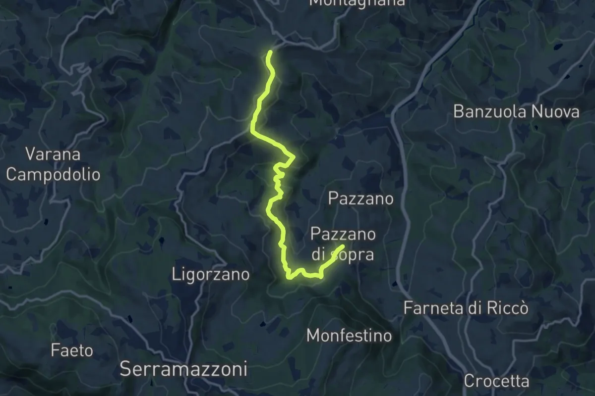
Medium · Trail
Montardone – Pazzano
12.4 km · ↑ 433 m · 3 h 52 min · 15 km away
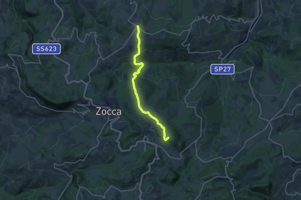
Medium · Summit
Monteombraro – Montalto Nuovo
12.6 km · ↑ 596 m · 4 h 16 min · 15 km away
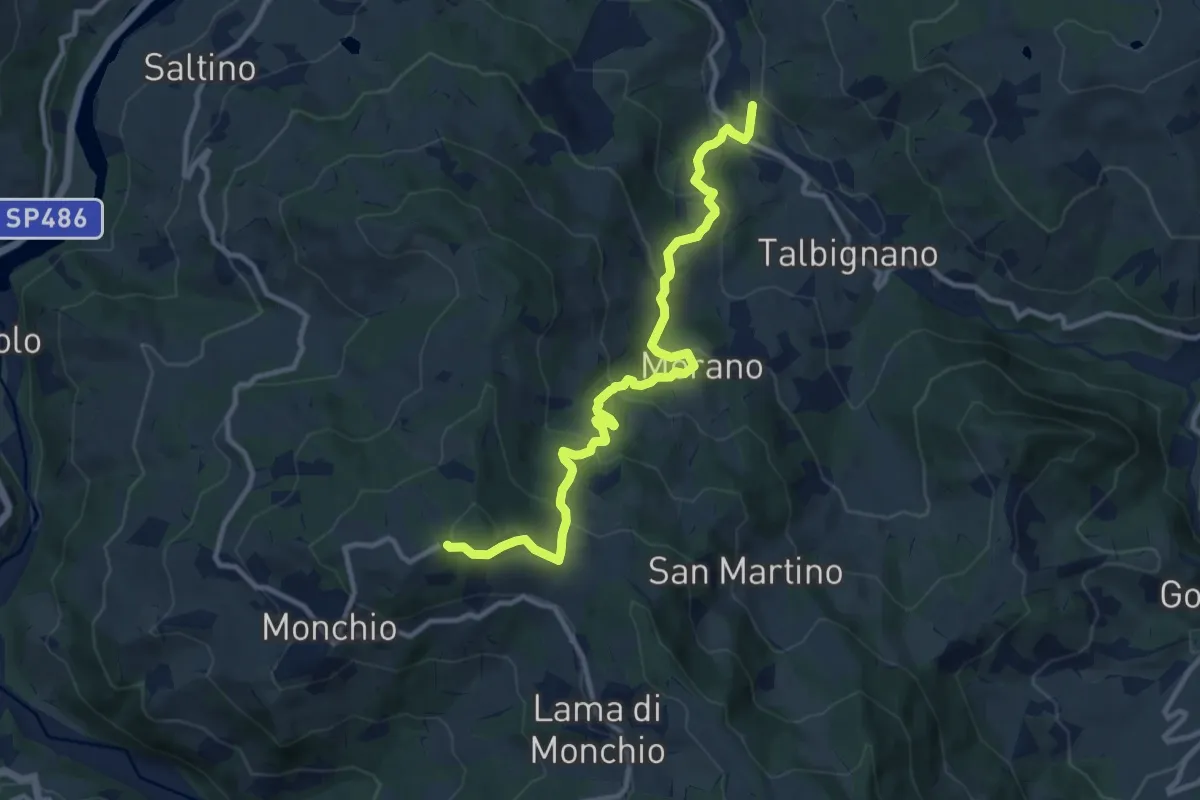
Medium · Trail
11
11.8 km · ↑ 649 m · 4 h 12 min · 15 km away
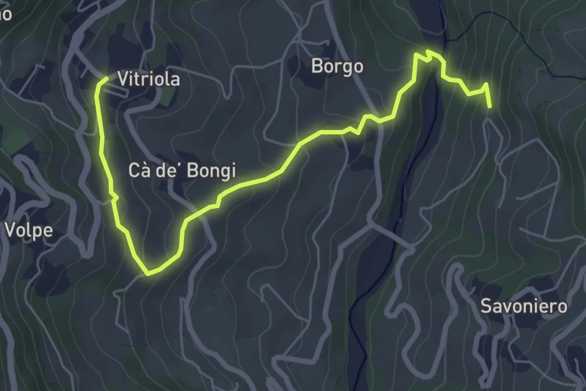
Easy · Trail
Vitriola - Ca' di Bellucci - Torrente Dragone
6.4 km · ↑ 298 m · 2 h 9 min · 15 km away
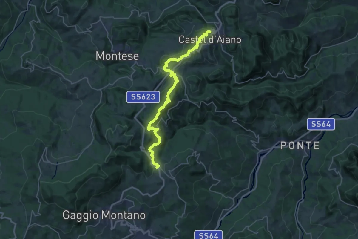
Demanding · Trail
Castel d'Aiano – Abetaia
23.5 km · ↑ 893 m · 7 h 29 min · 15 km away
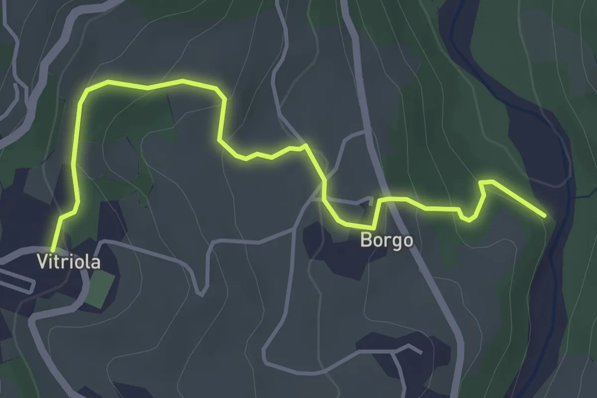
Easy · Trail
Torrente Dragone - Borgo di Vitriola - Vitriola
4.2 km · ↑ 203 m · 1 h 25 min · 15 km away
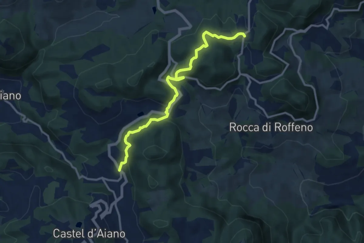
Medium · Trail
Percorso CAI 186
8.5 km · ↑ 397 m · 2 h 53 min · 15 km away