Trails near Pergine Valsugana
169 hikes starting within 15 km, nearest first.
Nearest first, page 1 of 4
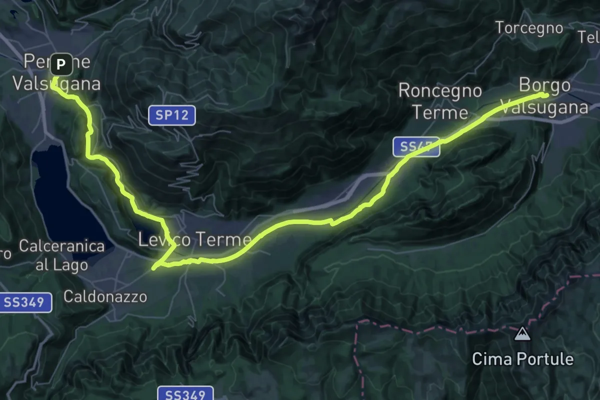
Demanding · Trail
Cammino del beato Enrico - Tappa 5
25.9 km · ↑ 188 m · 6 h 56 min · under 1 km away
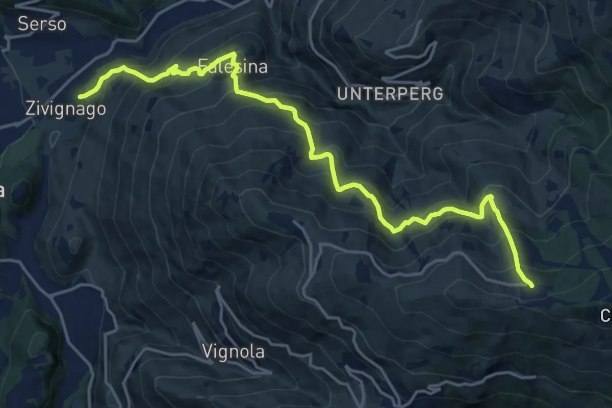
Demanding · Trail
Cargadora - Zivignago – Ristorante Panarotta (bivio 235)
14.7 km · ↑ 1366 m · 6 h 27 min · 2 km away
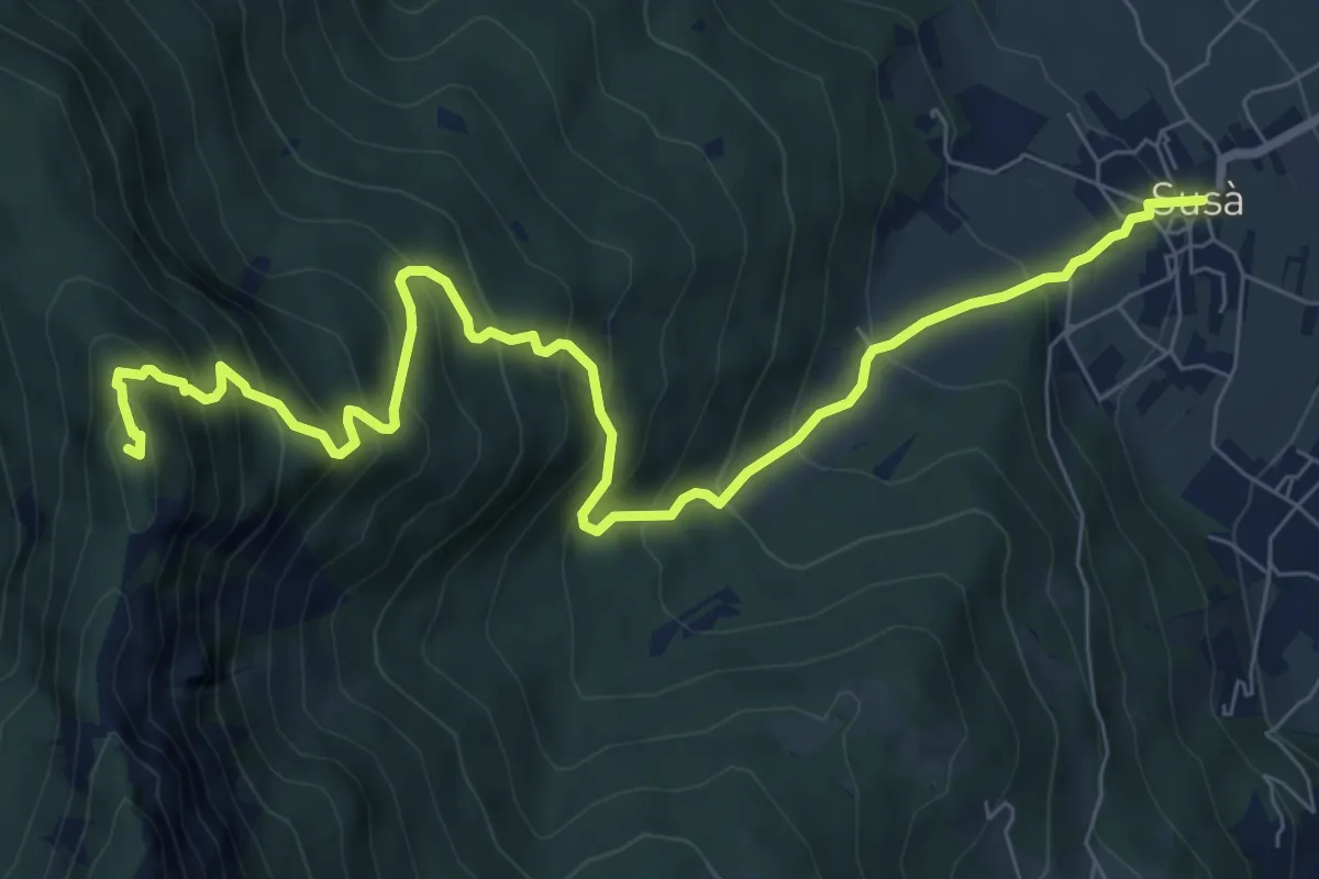
Demanding · Summit
Susà - Piazza della Chiesa – Presso il Dos dei Corvi (bivio 411)
9.6 km · ↑ 912 m · 4 h 15 min · 2 km away
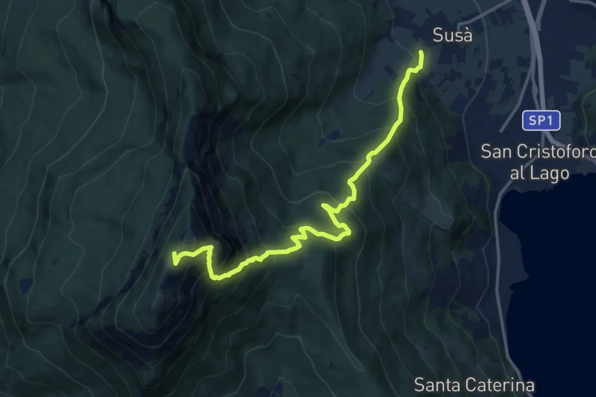
Demanding · Trail
Susà - via delle Calcare – Sella della Marzola (bivio 411 - 411A - 412)
11.3 km · ↑ 1101 m · 5 h 3 min · 2 km away
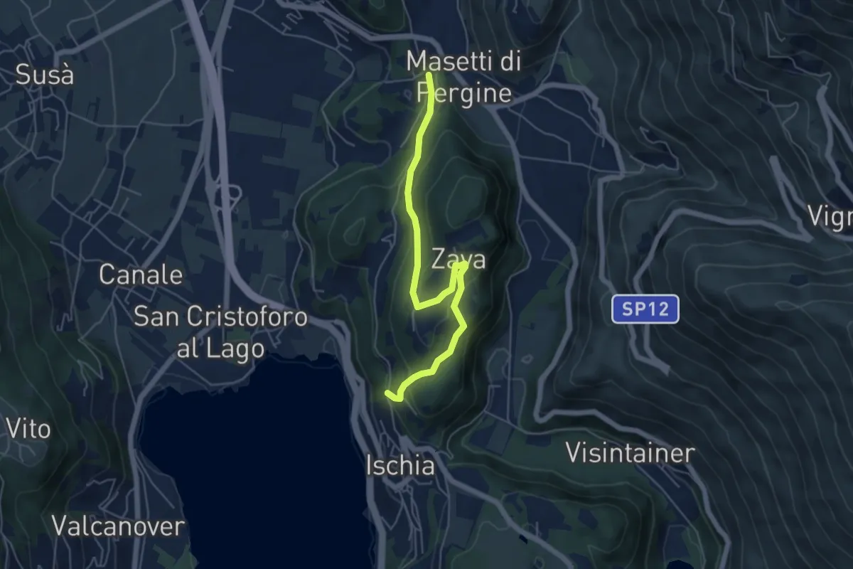
Easy · Trail
Giro de Zava
5.2 km · ↑ 277 m · 1 h 49 min · 3 km away
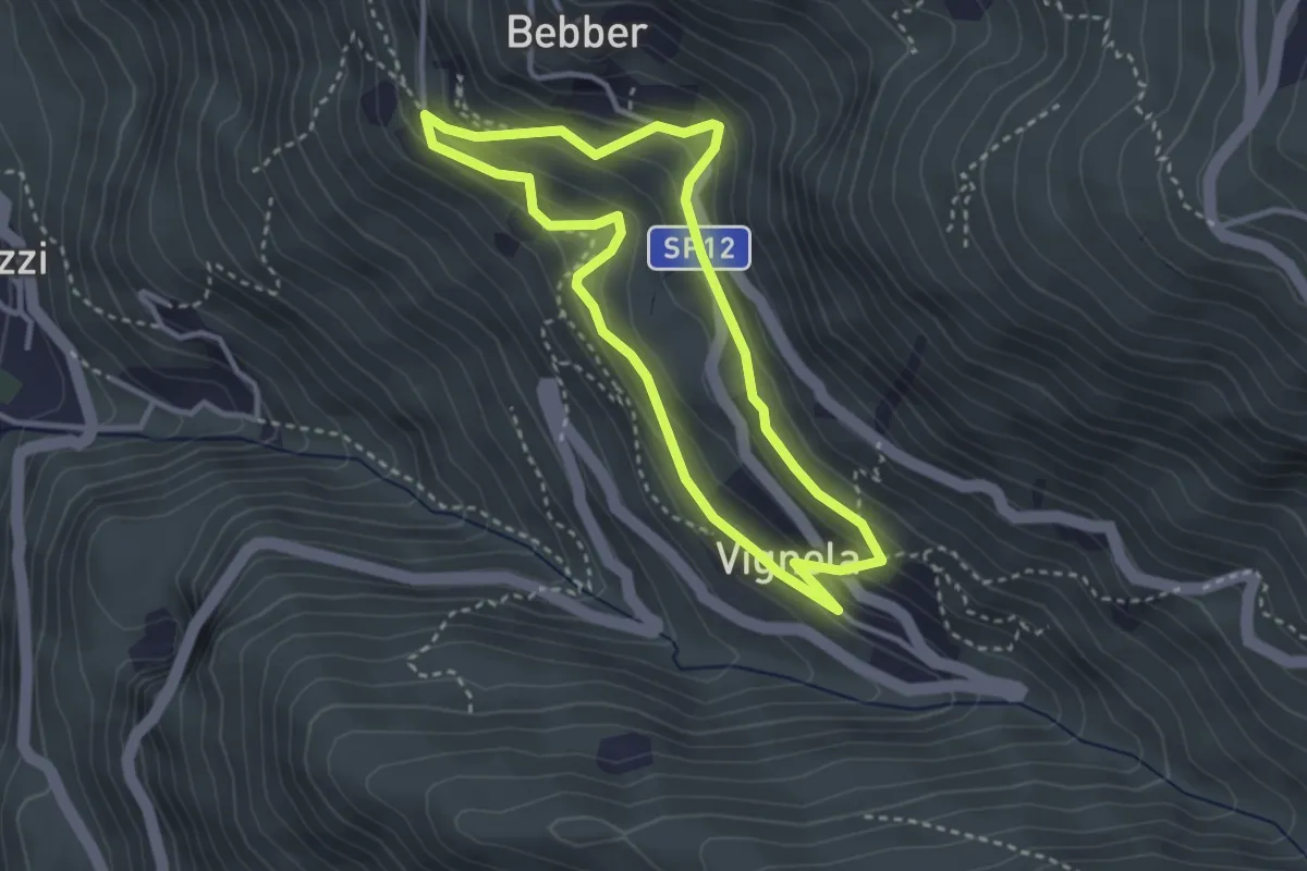
Easy · Trail
Trekking Minatore
3.0 km · ↑ 221 m · 1 h 14 min · 3 km away
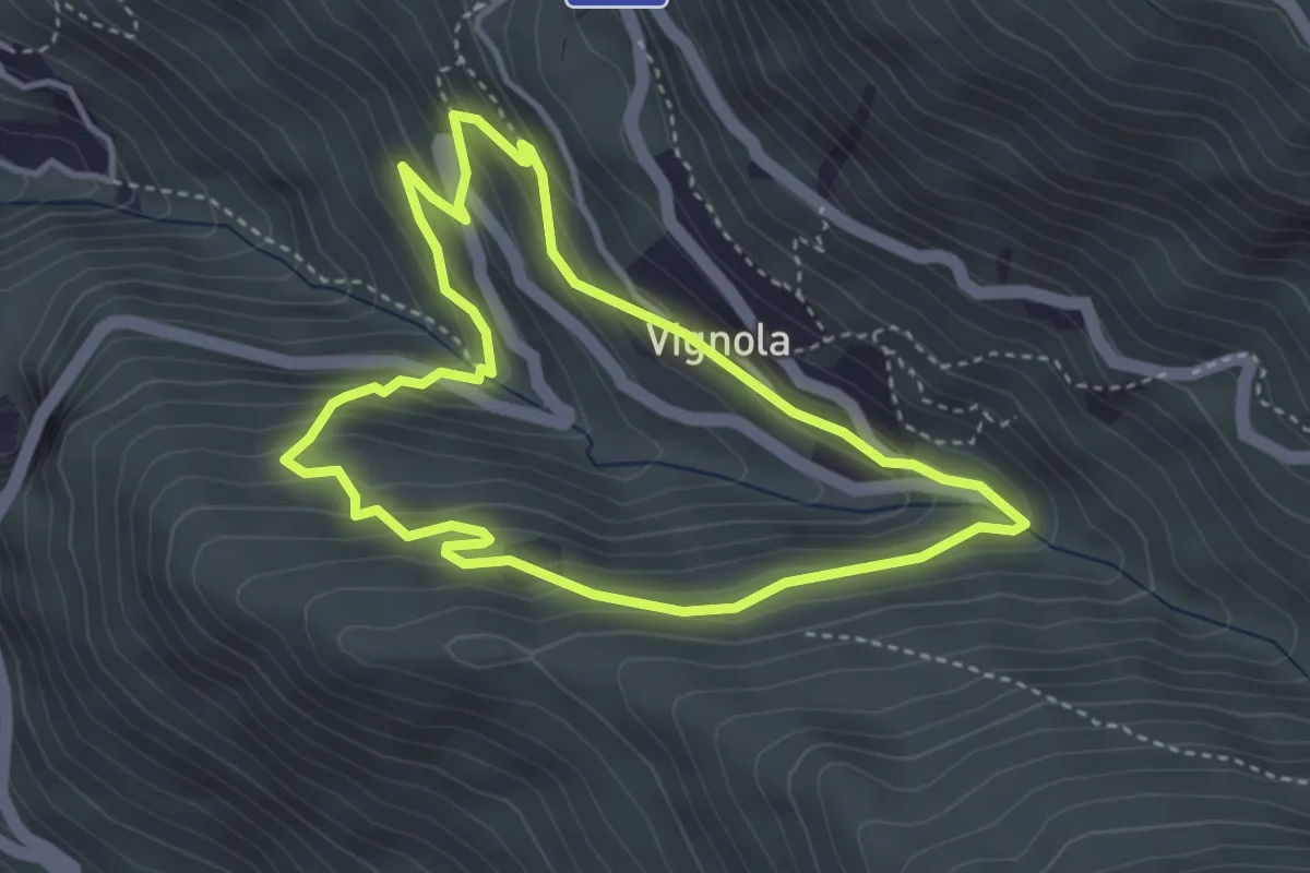
Easy · Trail
Percorso Natura
3.6 km · ↑ 264 m · 1 h 28 min · 3 km away
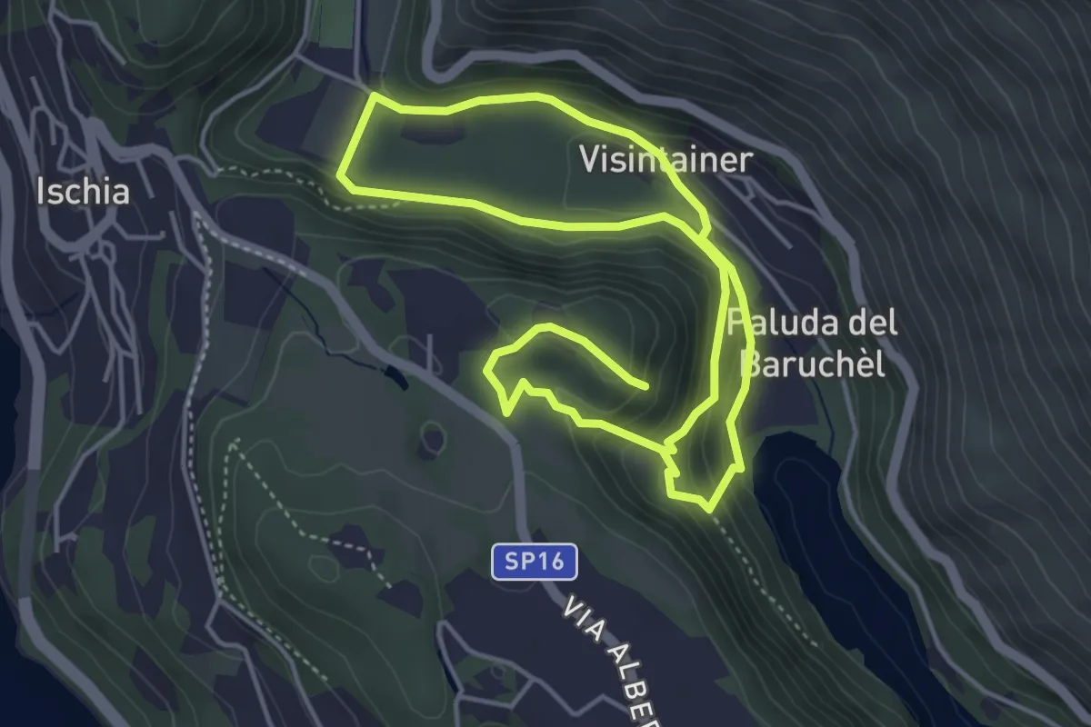
Easy · Trail
Itinerario Biotopo Pizé - Val de l'Orco
4.0 km · ↑ 199 m · 1 h 28 min · 4 km away
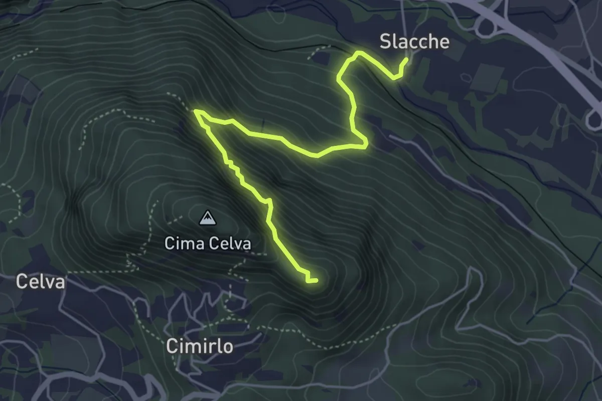
Demanding · Summit
Slacche – Selletta (bivio 419)
4.8 km · ↑ 524 m · 2 h 15 min · 4 km away
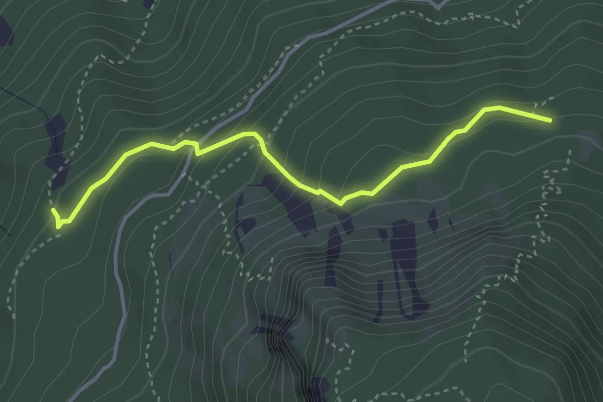
Medium · Trail
Senter dei Brusadi
3.3 km · ↑ 258 m · 1 h 21 min · 4 km away
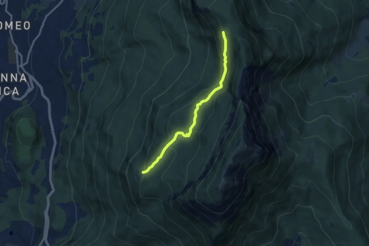
Medium · Cabin
Senter delle Pegore
6.3 km · ↑ 370 m · 2 h 18 min · 5 km away
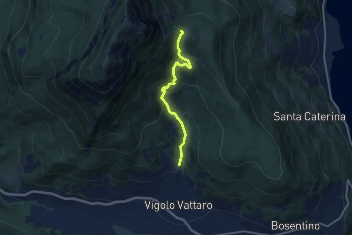
Medium · Trail
Vigolo Vattaro - Sabbionare (bivio 438) – Piani di Vigo (o di Susà)
6.2 km · ↑ 513 m · 2 h 35 min · 5 km away
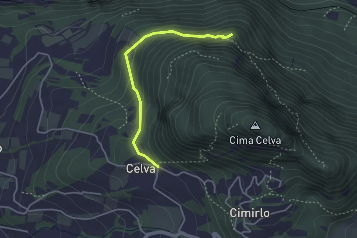
Easy · Summit
Celva – Sella del Celvet
2.9 km · ↑ 188 m · 1 h 5 min · 5 km away
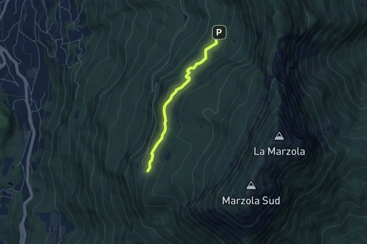
Easy · Cabin
Quota 1059 (bivio 413) – Rifugio Maranza (bivio 412 - 426 - 429 - 441)
4.6 km · ↑ 196 m · 1 h 30 min · 5 km away
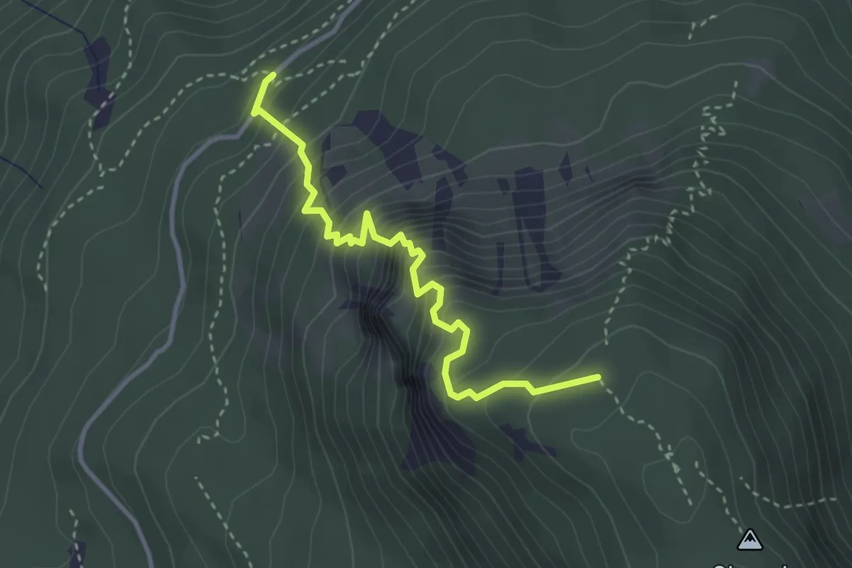
Expert · Trail
Via ferrata "Giordano Bertotti"
3.3 km · ↑ 520 m · 1 h 55 min · 5 km away
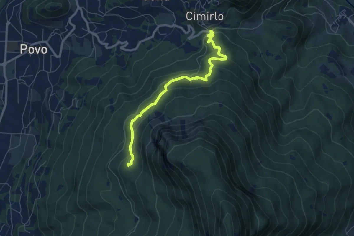
Medium · Trail
Passo del Cimirlo – Busa Granda (bivo 413)
6.3 km · ↑ 277 m · 2 h 5 min · 5 km away
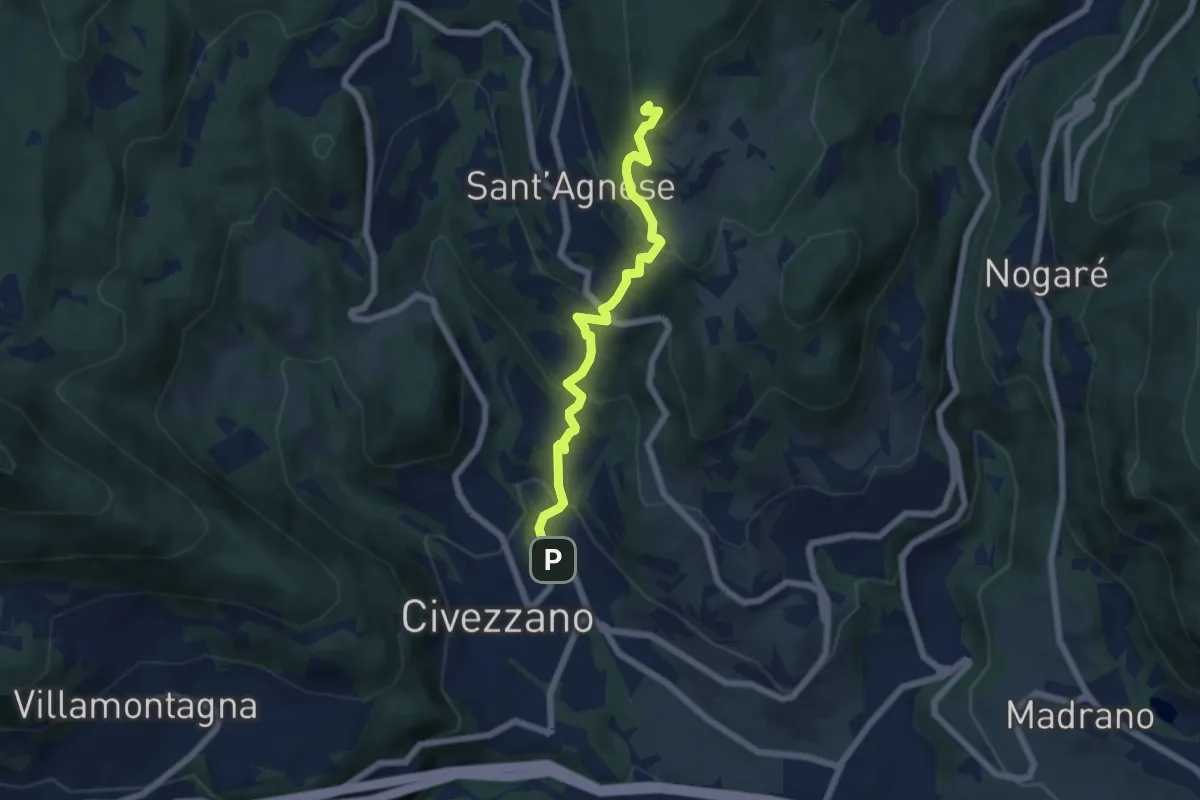
Medium · Summit
Civezzano – Montepiano (bivio 421)
5.9 km · ↑ 454 m · 2 h 23 min · 6 km away
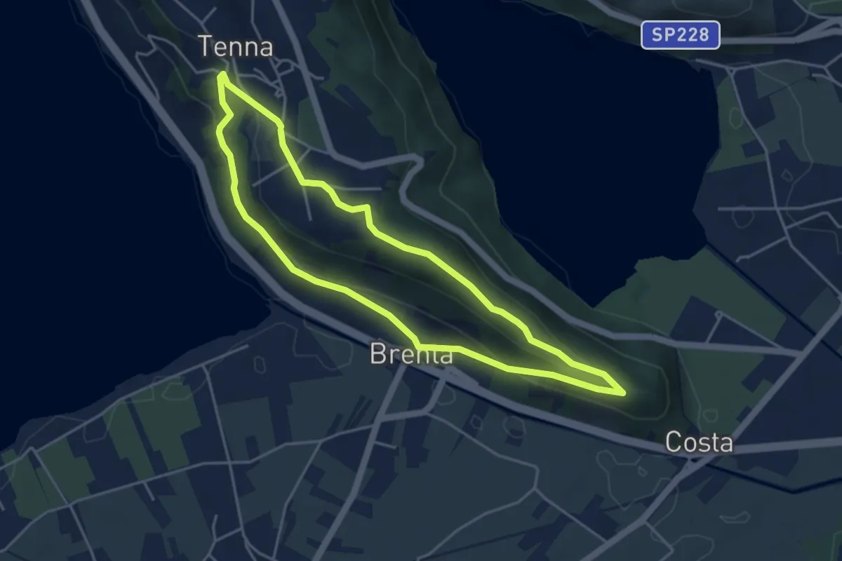
Easy · Trail
Itinerario Ex Forte - San Valentino
4.1 km · ↑ 121 m · 1 h 17 min · 6 km away
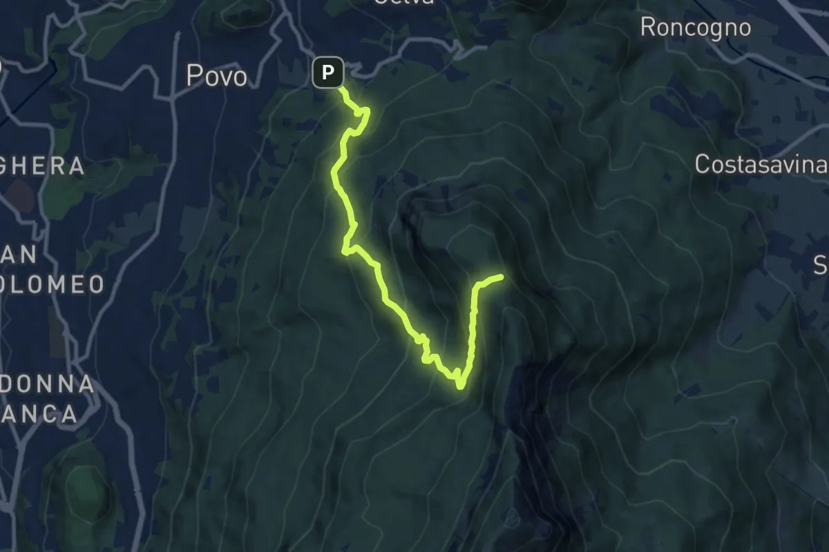
Demanding · Summit
Borino (bivio 411) – Stoi del Chegul (bivio 411)
10.1 km · ↑ 844 m · 4 h 13 min · 6 km away
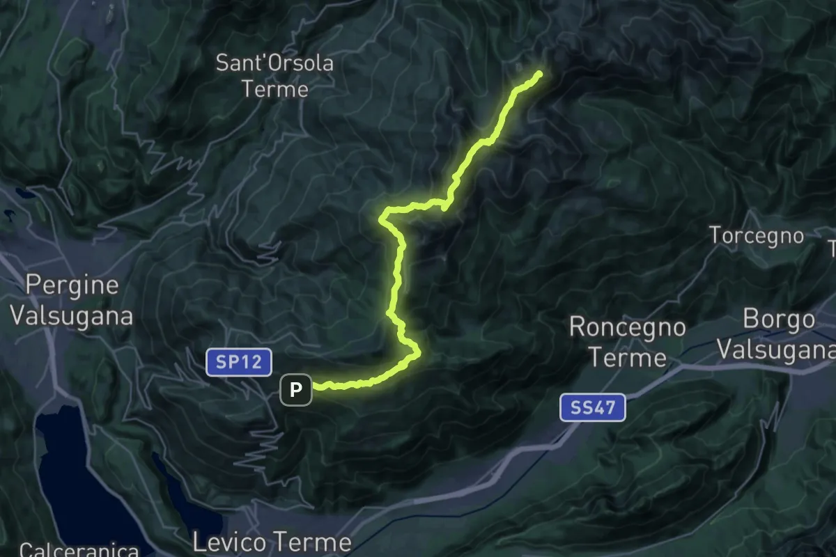
Demanding · Summit
TransLagorai - Tappa 1
27.3 km · ↑ 1669 m · 10 h 4 min · 6 km away
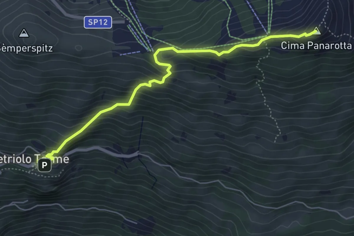
Medium · Summit
Vetriolo - Piazzale delle Terme – La Bassa
5.7 km · ↑ 497 m · 2 h 26 min · 6 km away
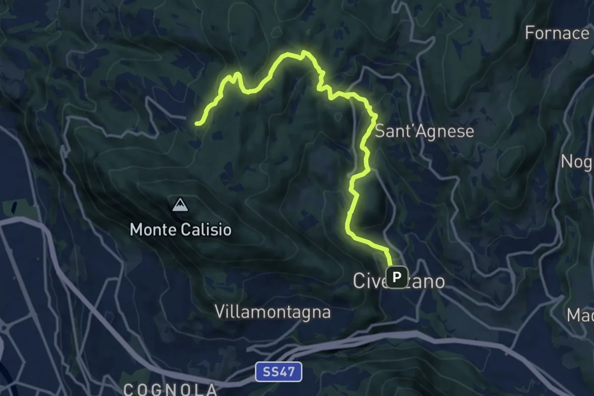
Medium · Trail
Civezzano - Castel Telvana (bivio 403) – Montevaccino di sopra (bivio 430)
13.4 km · ↑ 637 m · 4 h 33 min · 6 km away
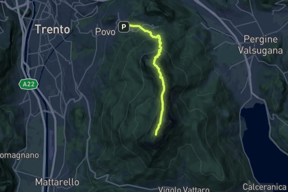
Demanding · Summit
Borino (bivio 413) – Cippo Livio Sartori (bivio 412)
14.2 km · ↑ 1285 m · 6 h 8 min · 6 km away
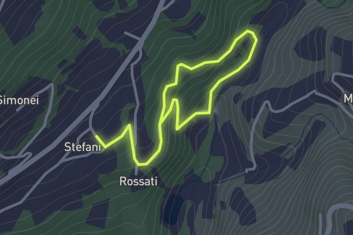
Easy · Trail
Sentiero Fatato
3.3 km · ↑ 174 m · 1 h 10 min · 6 km away
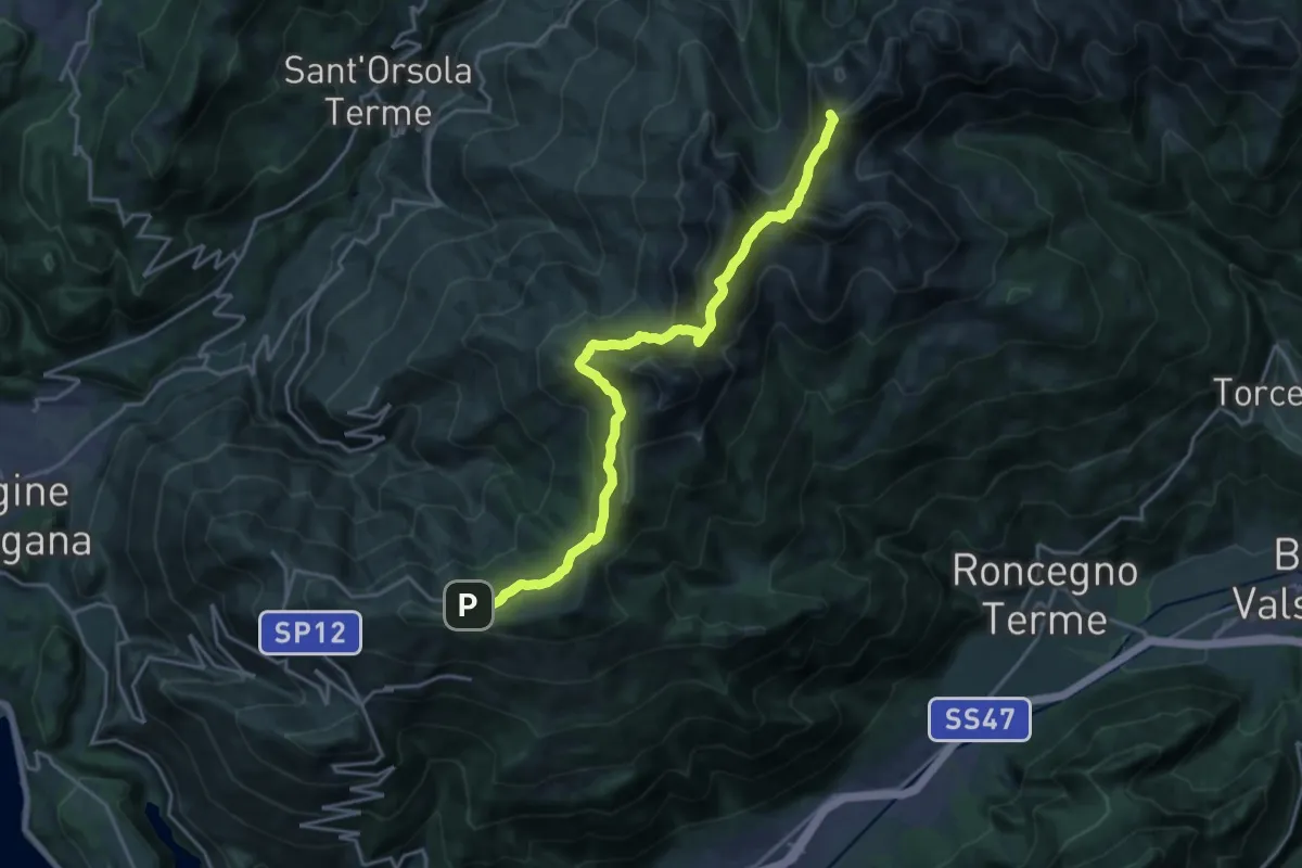
Demanding · Summit
Presso Battisti - Palù del Fèrsina (bivio 370) – Ristorante Panarotta (bivio 313)
20.1 km · ↑ 1194 m · 7 h 19 min · 6 km away
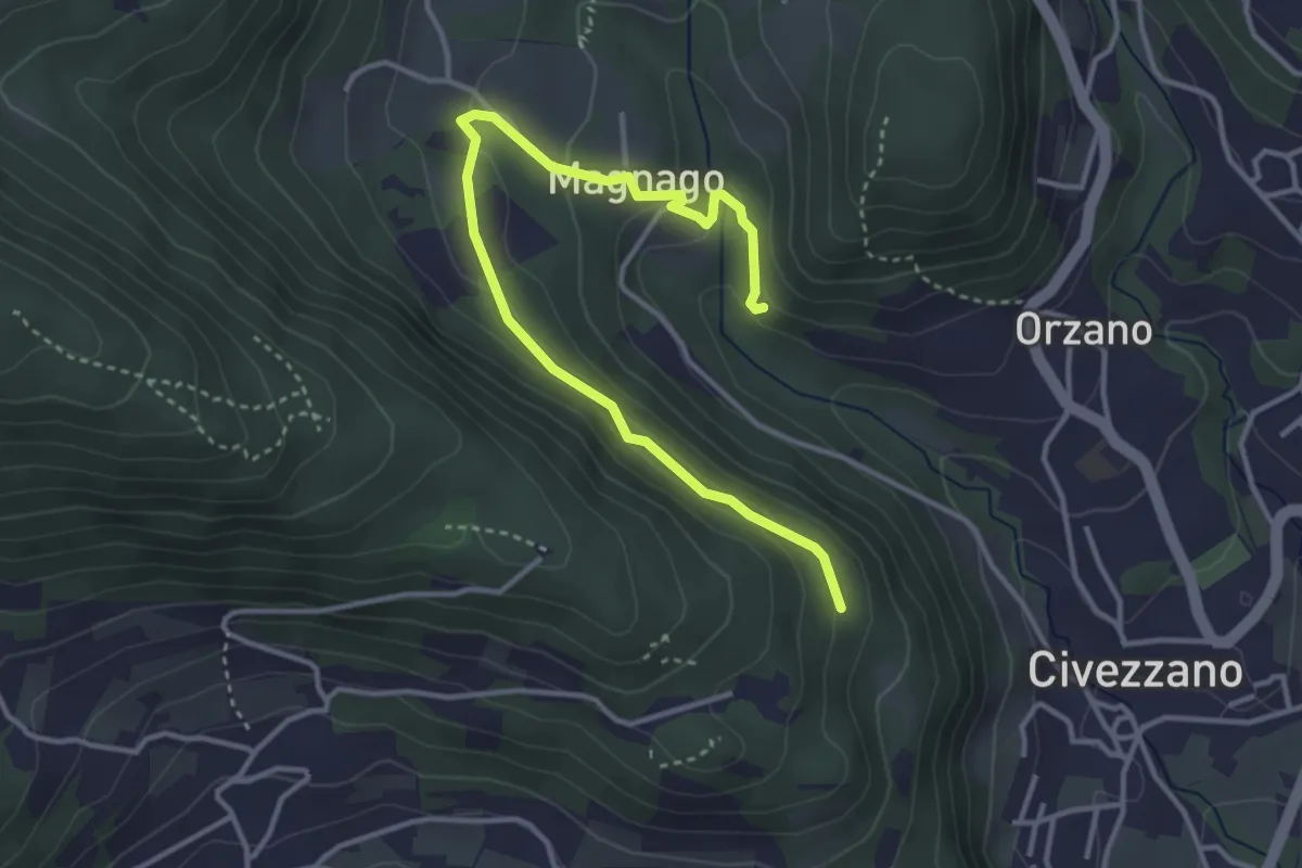
Easy · Trail
Senter del Lof
4.1 km · ↑ 165 m · 1 h 20 min · 6 km away
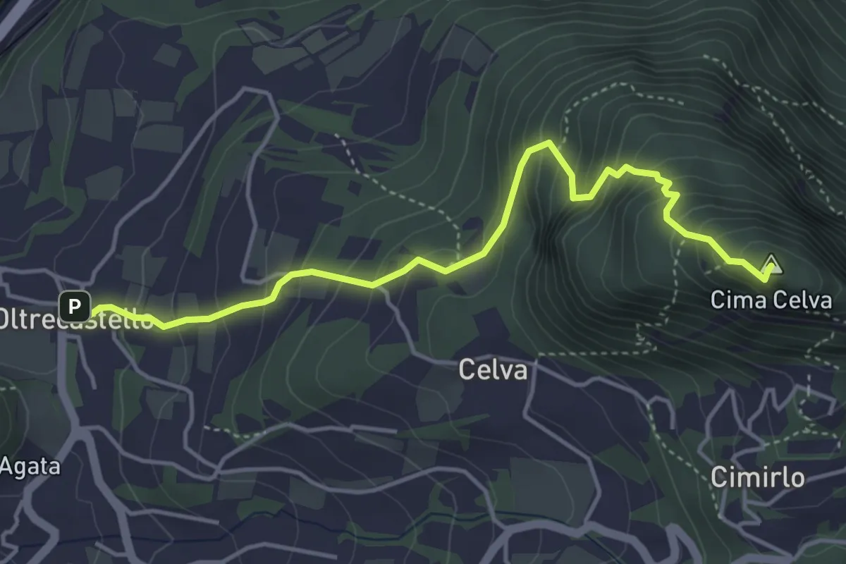
Medium · Summit
Oltrecastello – Passo del Cimirlo
4.6 km · ↑ 494 m · 2 h 9 min · 6 km away
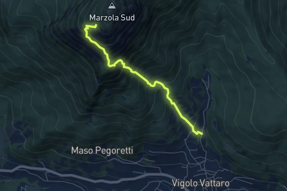
Demanding · Cabin
Vigolo Vattaro - Sabbionare (bivio 437) – Prà Grant (bivio 412)
5.6 km · ↑ 801 m · 3 h 3 min · 6 km away
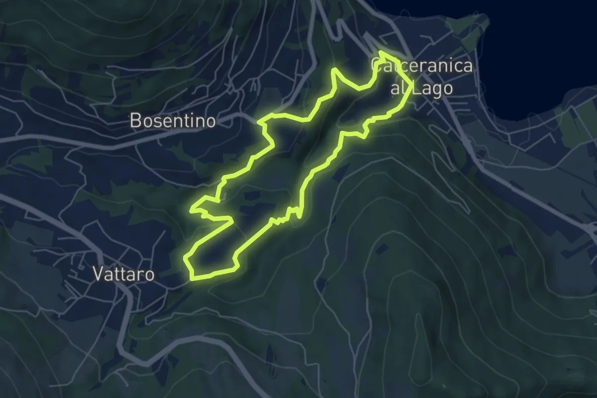
Easy · Trail
Percorso Minatore
5.5 km · ↑ 269 m · 1 h 57 min · 6 km away
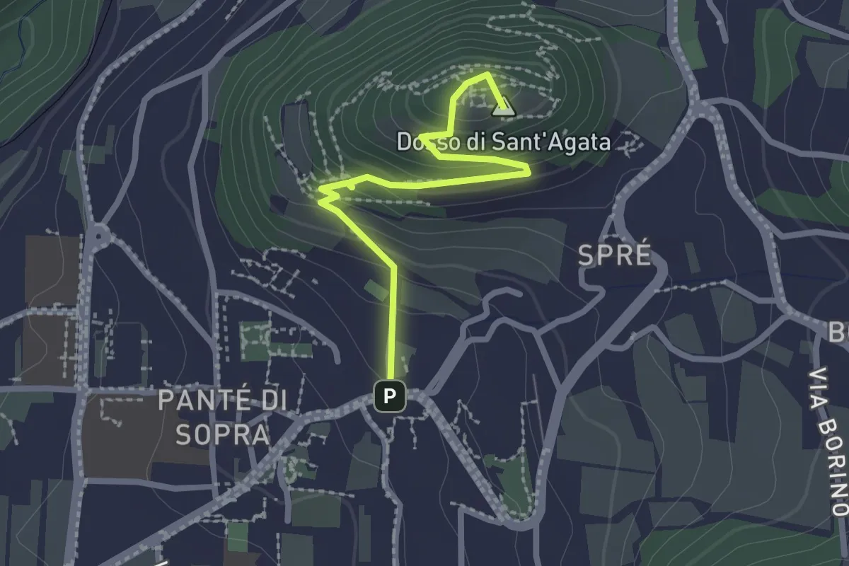
Medium · Summit
Sentiero Sant'Agata
2.3 km · ↑ 157 m · 52 min · 7 km away
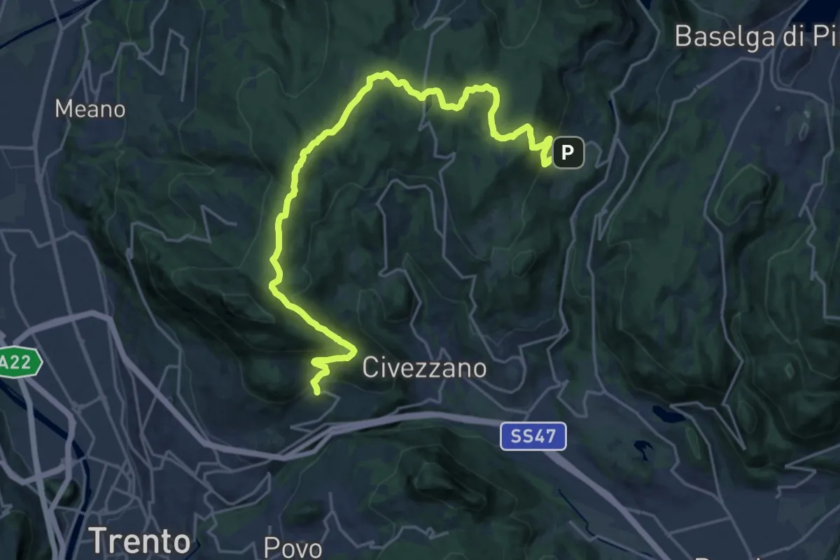
Demanding · Trail
Sentiero di Santa Colomba
23.7 km · ↑ 834 m · 7 h 24 min · 7 km away
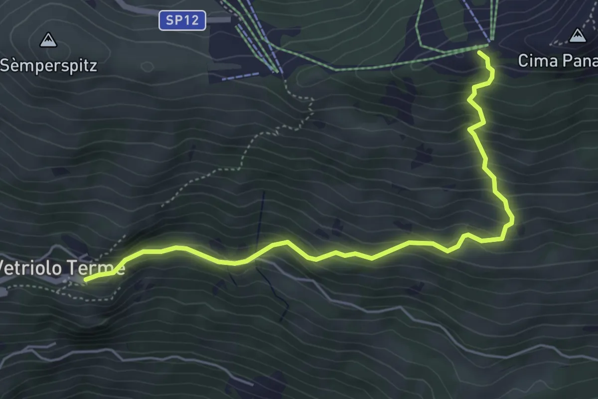
Medium · Trail
Vetriolo - Piazzale delle Terme – Cresta o Cima Panarotta (bivio 308)
5.5 km · ↑ 482 m · 2 h 20 min · 7 km away
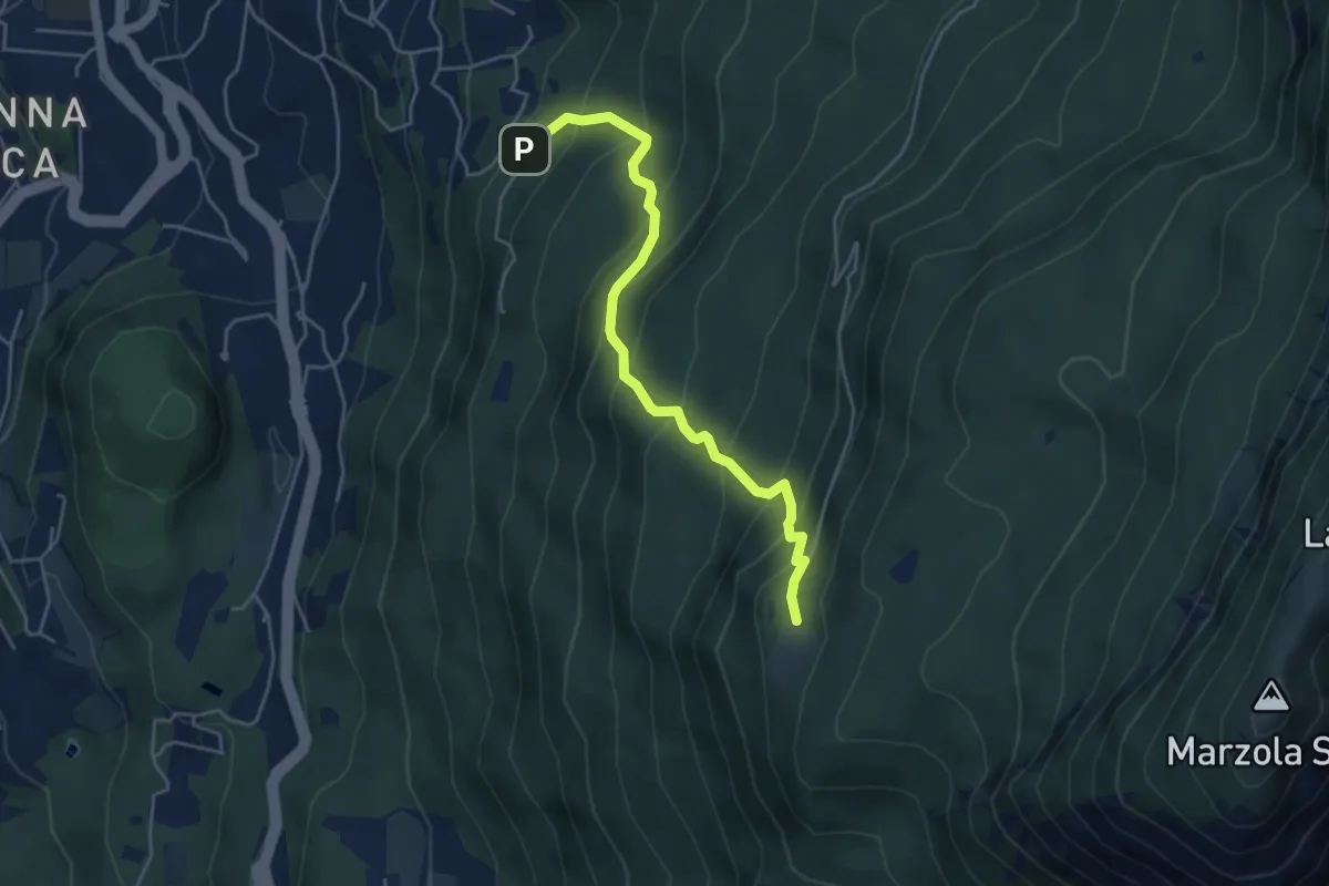
Medium · Cabin
Pinara (bivio 412) – Rifugio Maranza (bivio 412 - 426 - 429 - 456)
4.7 km · ↑ 516 m · 2 h 13 min · 7 km away
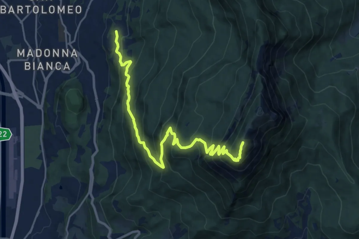
Demanding · Summit
Grotta di Villazzano – Sella nord della Marzola (bivio 411-411A-433)
15.3 km · ↑ 1313 m · 6 h 27 min · 7 km away
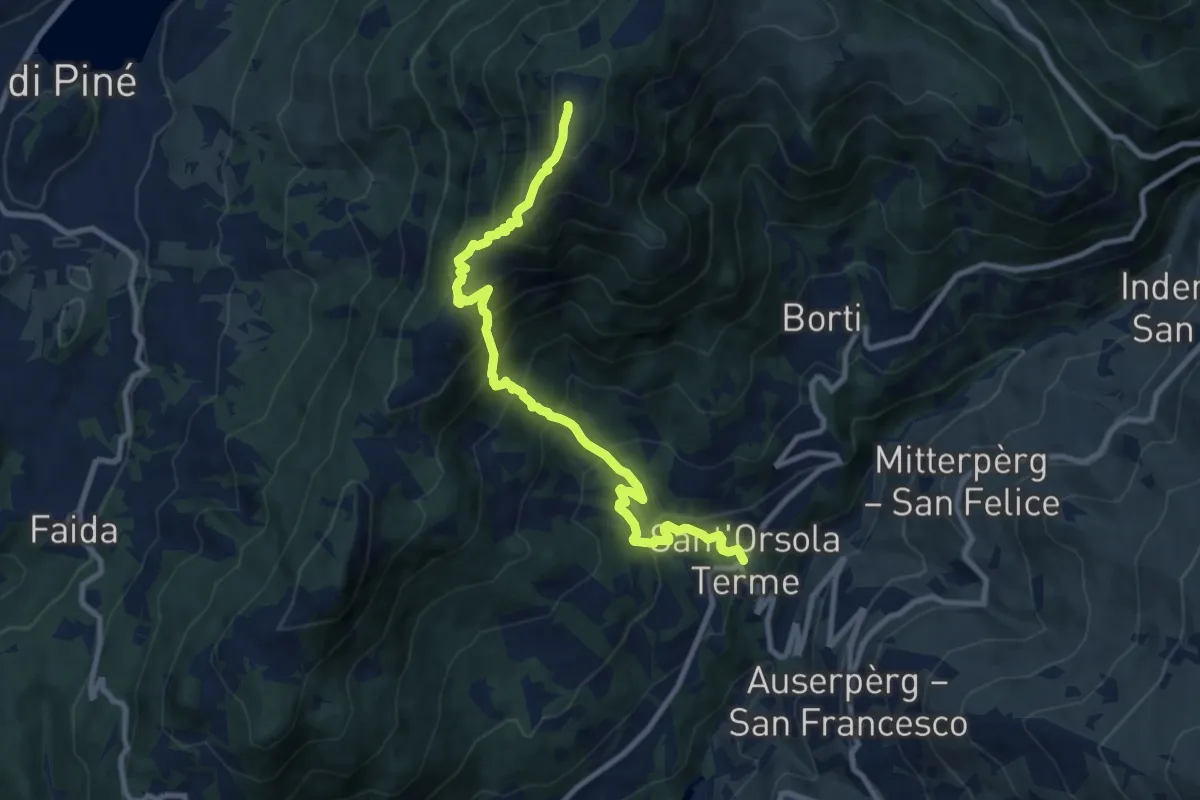
Demanding · Summit
Sant'Orsola – Dosso di Costalta (bivio 404)
10.1 km · ↑ 1094 m · 4 h 45 min · 7 km away
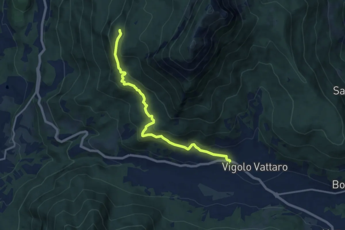
Medium · Cabin
Vigolo Vattaro – Rifugio Maranza (bivio 412 - 426 - 441 - 456)
9.2 km · ↑ 499 m · 3 h 16 min · 7 km away
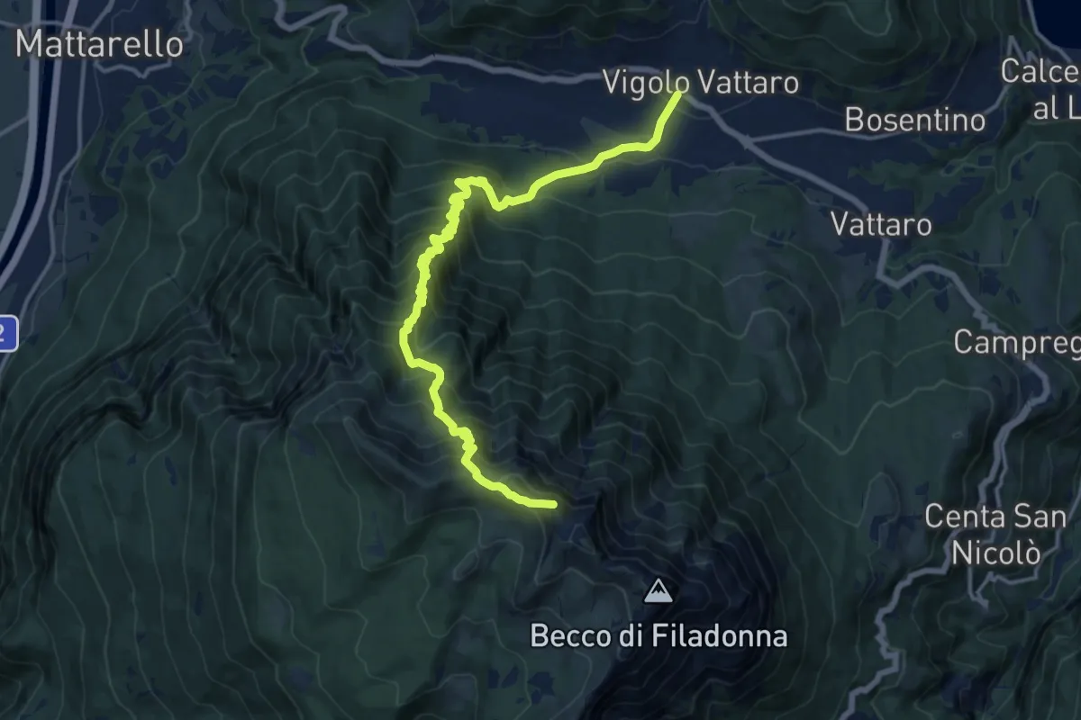
Demanding · Summit
Vigolo Vattaro – Bocca Lavinella (bivio 453 - 453A)
15.9 km · ↑ 1450 m · 6 h 54 min · 7 km away
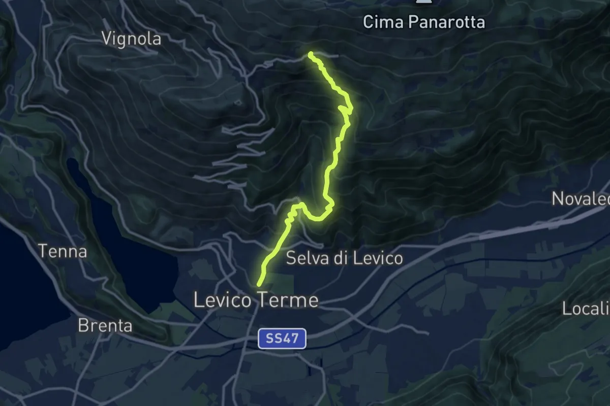
Demanding · Trail
Sentiero del Ronco
10.8 km · ↑ 1001 m · 4 h 43 min · 7 km away
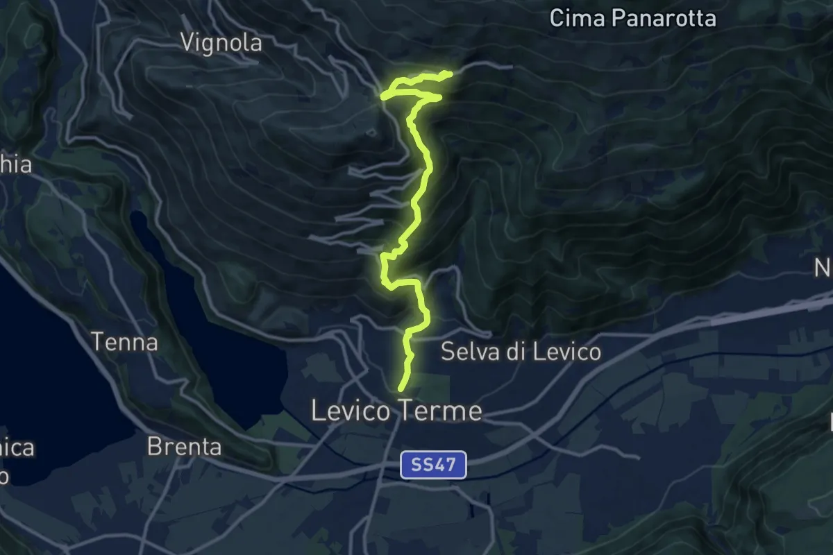
Demanding · Trail
Sentiero di Campo
11.8 km · ↑ 1005 m · 4 h 58 min · 7 km away
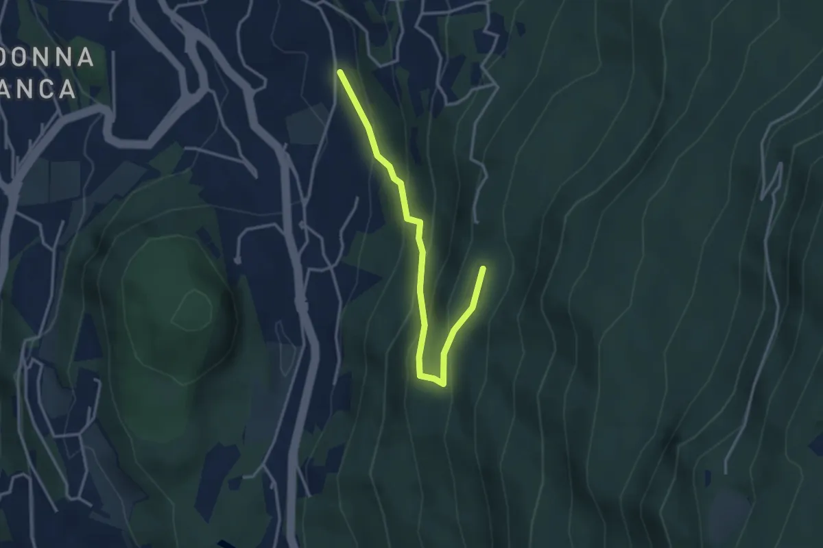
Easy · Cabin
Sentiero degli aquiloni
3.3 km · ↑ 249 m · 1 h 19 min · 7 km away
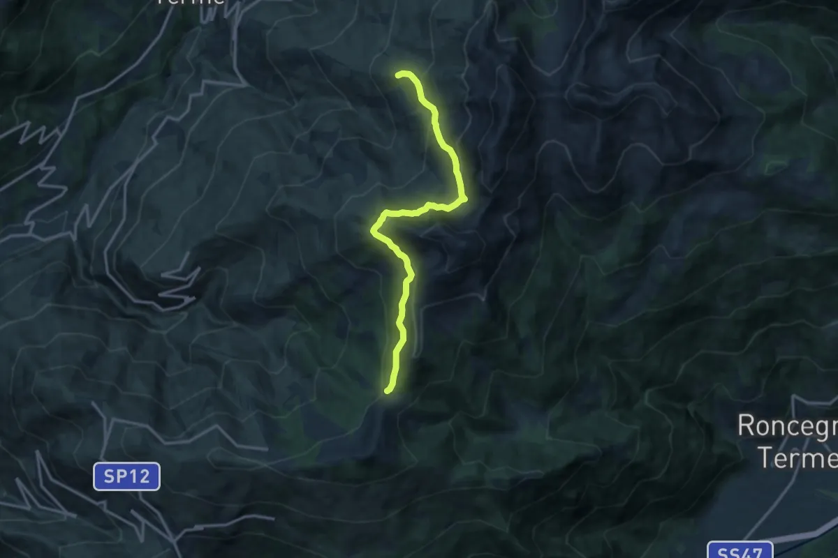
Medium · Trail
Prati Imperiali - Caservisen – La Bassa
12.3 km · ↑ 778 m · 4 h 35 min · 7 km away
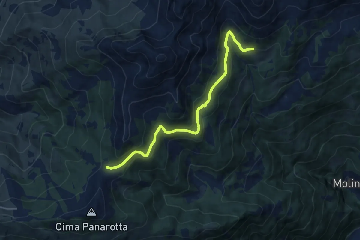
Medium · Trail
Presso Malga Prese (bivio 371) – La Bassa (bivio 325 - 372B)
10.0 km · ↑ 380 m · 3 h 11 min · 8 km away
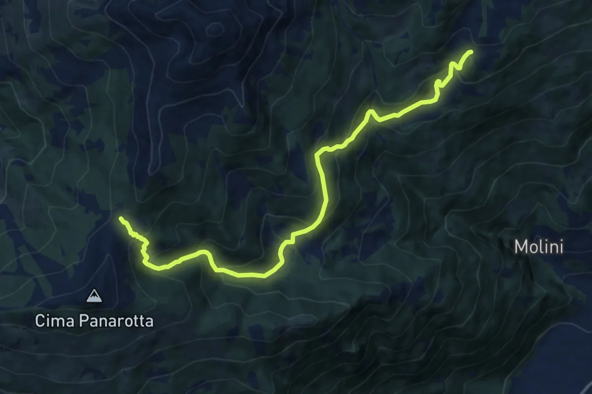
Demanding · Cabin
La Bassa – Rifugio Seròt
12.6 km · ↑ 1004 m · 5 h 9 min · 8 km away
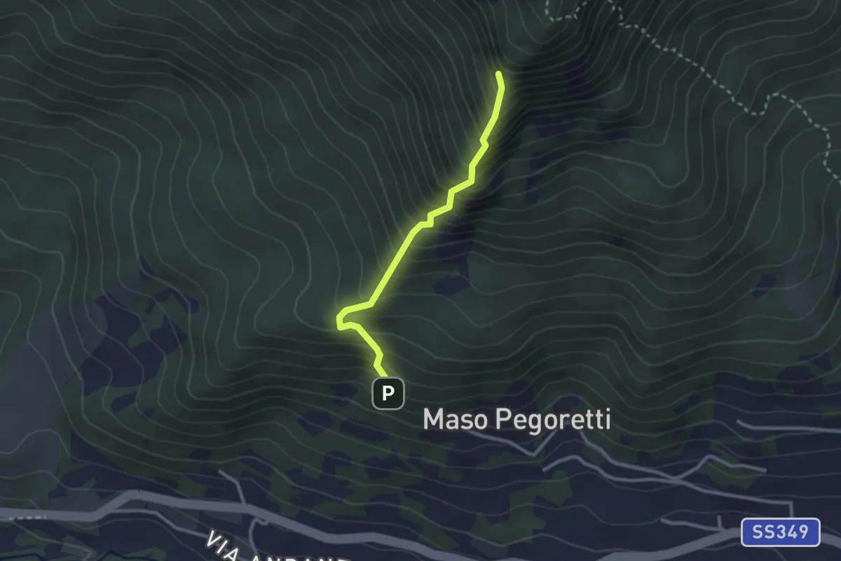
Demanding · Summit
Sentiero attrezzato del Croz de le Ore
2.4 km · ↑ 461 m · 1 h 34 min · 8 km away
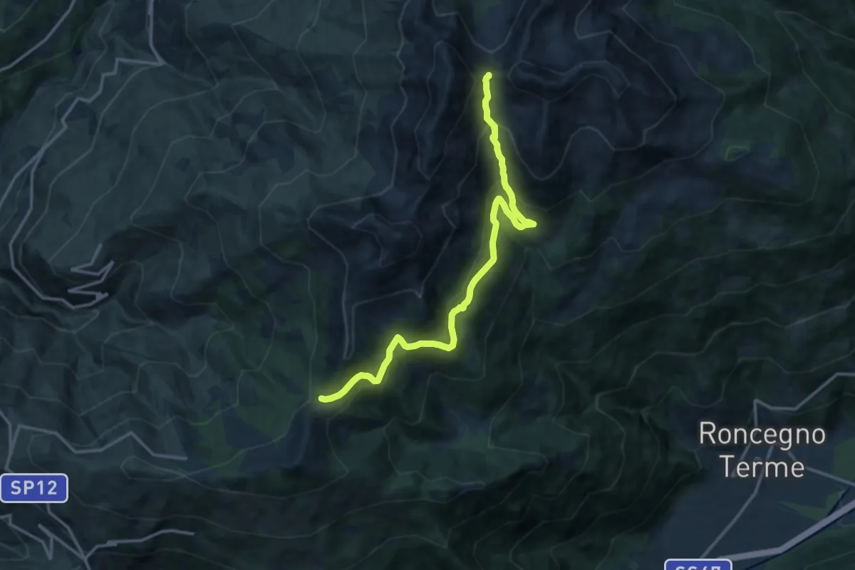
Demanding · Trail
Alta Via del Porfido - Tappa 4 variante Malga Prese - Val Portela
14.3 km · ↑ 807 m · 5 h 7 min · 8 km away
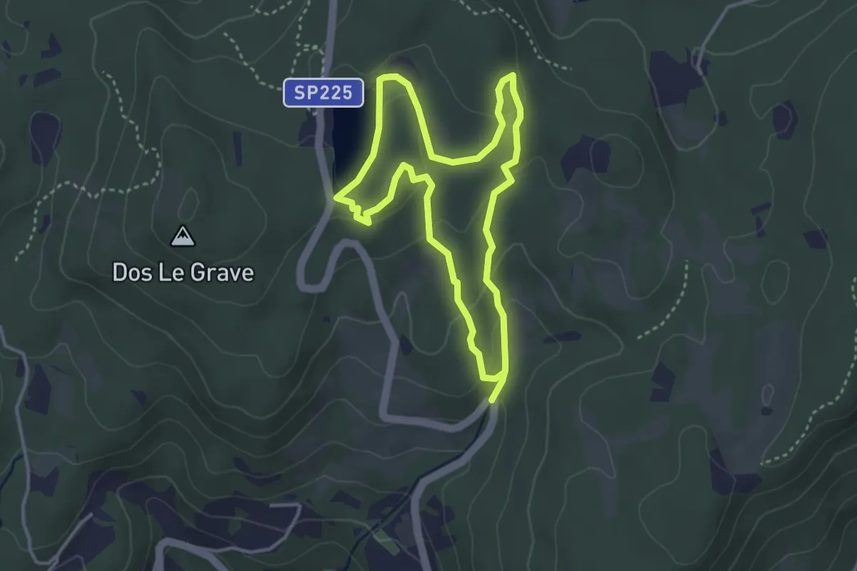
Easy · Trail
Sentiero delle Canope
3.2 km · ↑ 103 m · 1 h 1 min · 8 km away
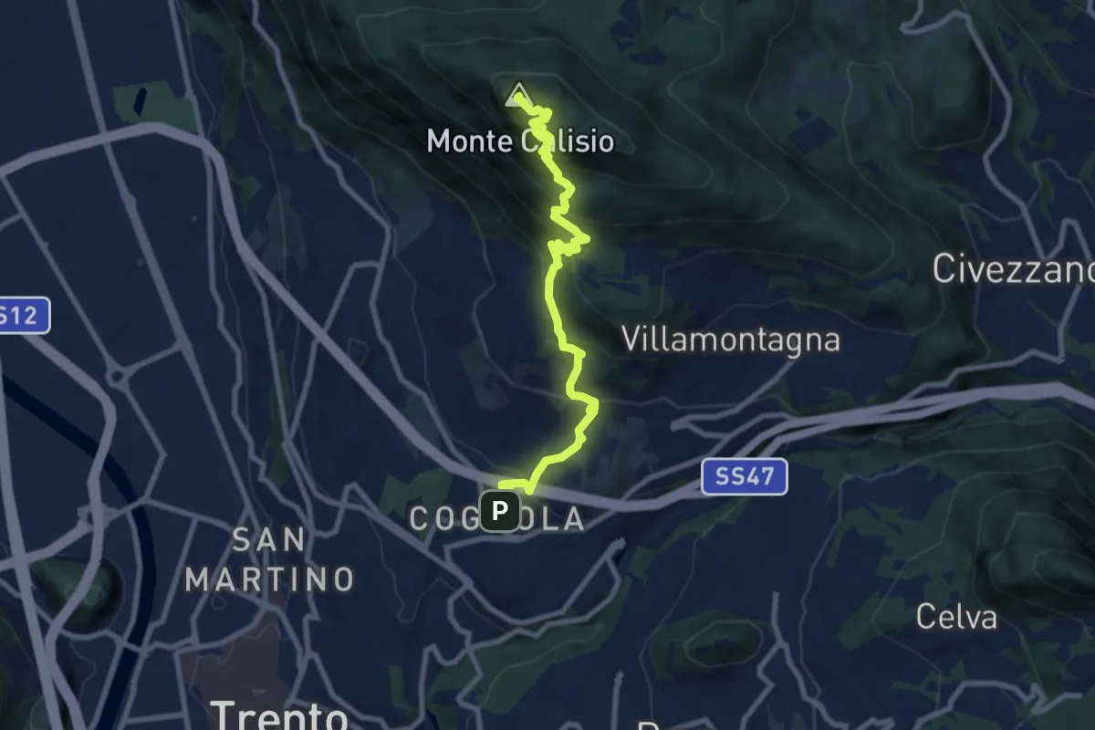
Medium · Summit
Sentiero Natura Cognola - Monte Calisio
8.4 km · ↑ 716 m · 3 h 31 min · 8 km away
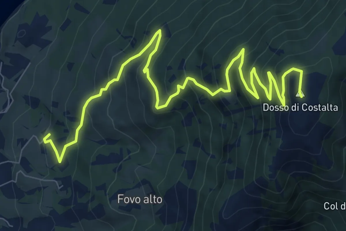
Demanding · Summit
Sentiero di Costalta
11.2 km · ↑ 881 m · 4 h 33 min · 8 km away