Trails near Pergine Valsugana
169 hikes starting within 15 km, nearest first.
Nearest first, page 2 of 4
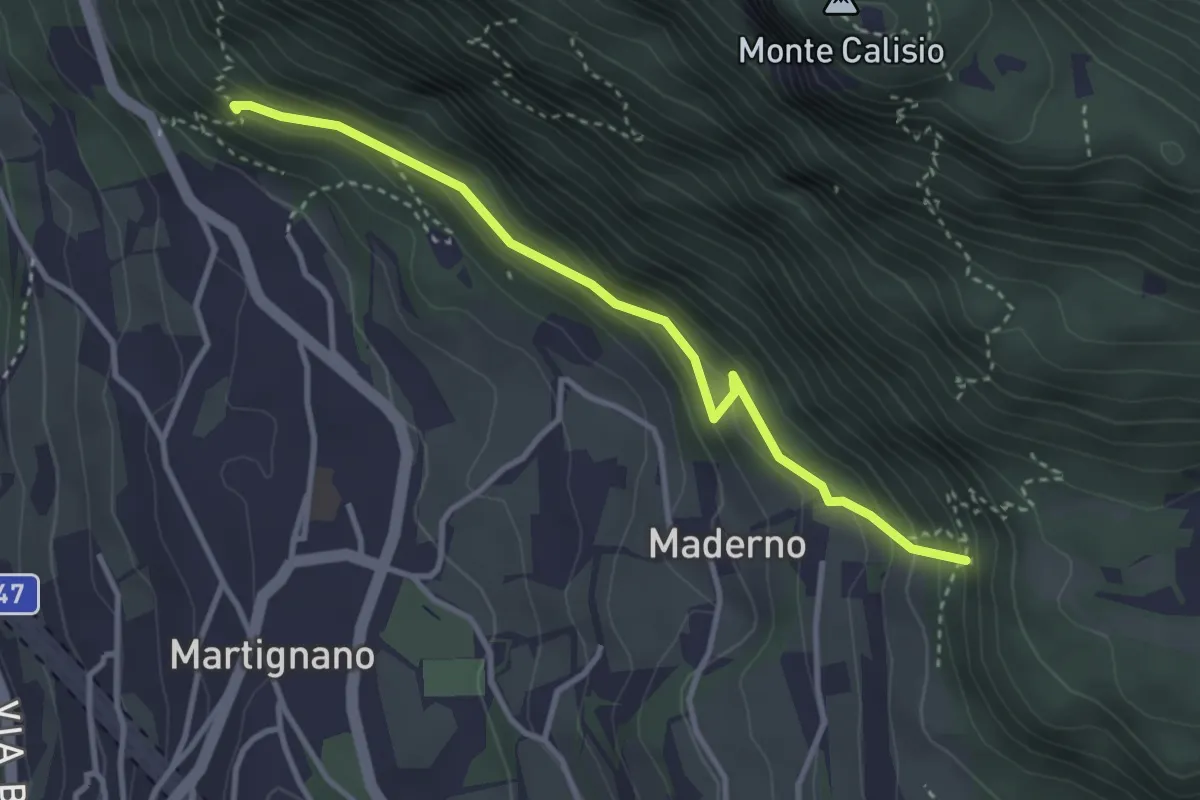
Demanding · Trail
Sentiero delle milizie
3.3 km · ↑ 240 m · 1 h 18 min · 8 km away
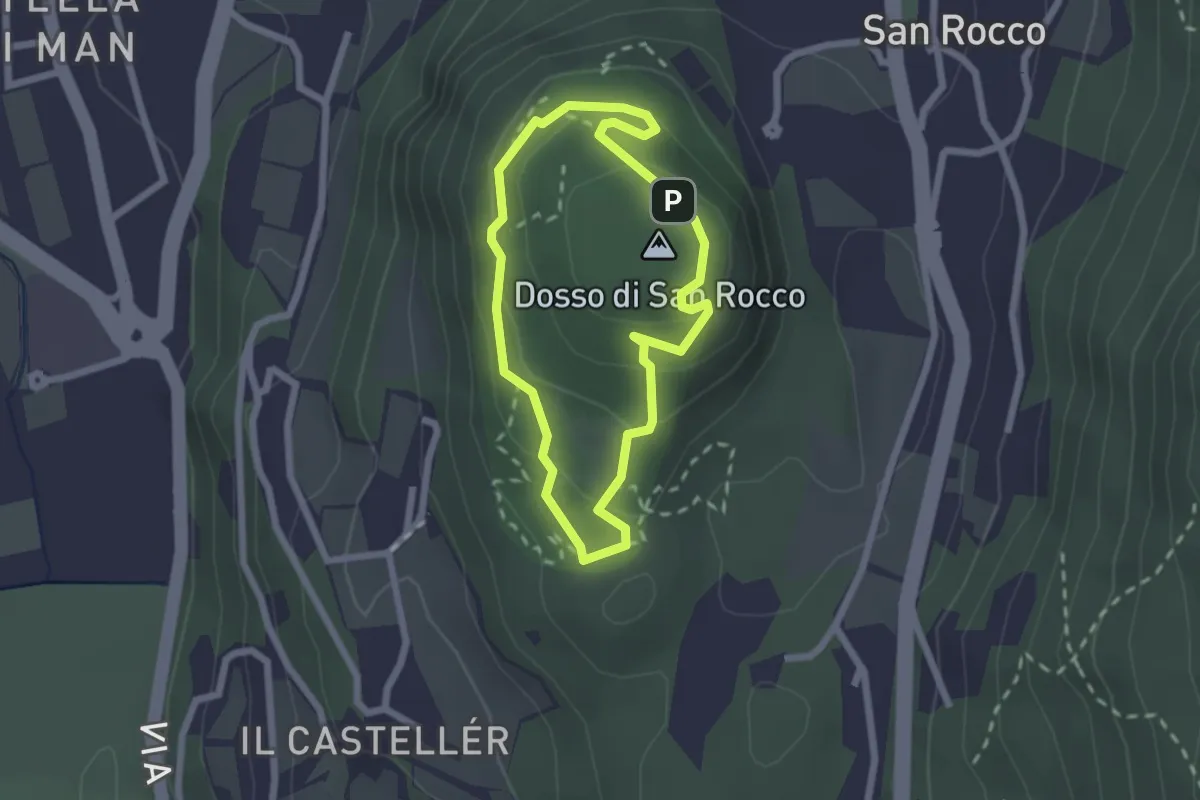
Easy · Summit
Giro del Dosso di San Rocco
1.9 km · ↑ 97 m · 41 min · 8 km away
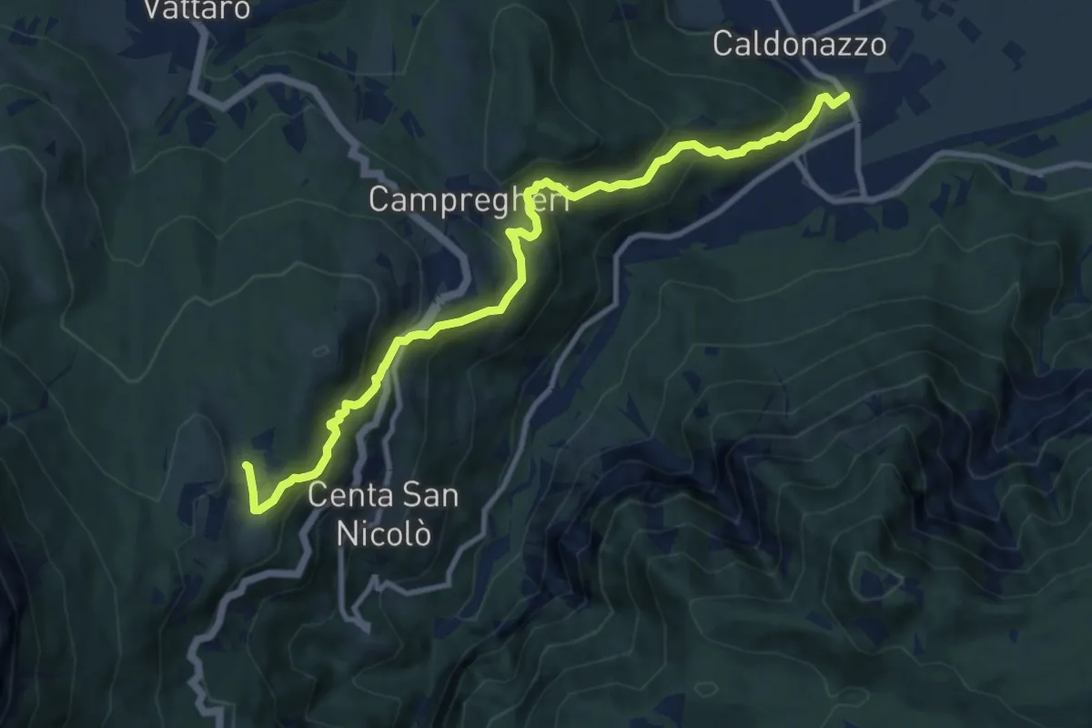
Medium · Cabin
Sentiero dei Ronchi
10.6 km · ↑ 666 m · 3 h 56 min · 8 km away
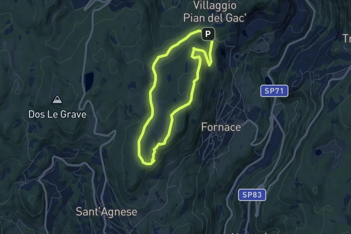
Easy · Summit
Sentiero degli Gnomi
5.8 km · ↑ 157 m · 1 h 48 min · 8 km away
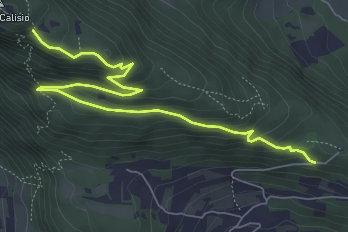
Medium · Trail
Sentiero della Croce
6.4 km · ↑ 349 m · 2 h 16 min · 8 km away
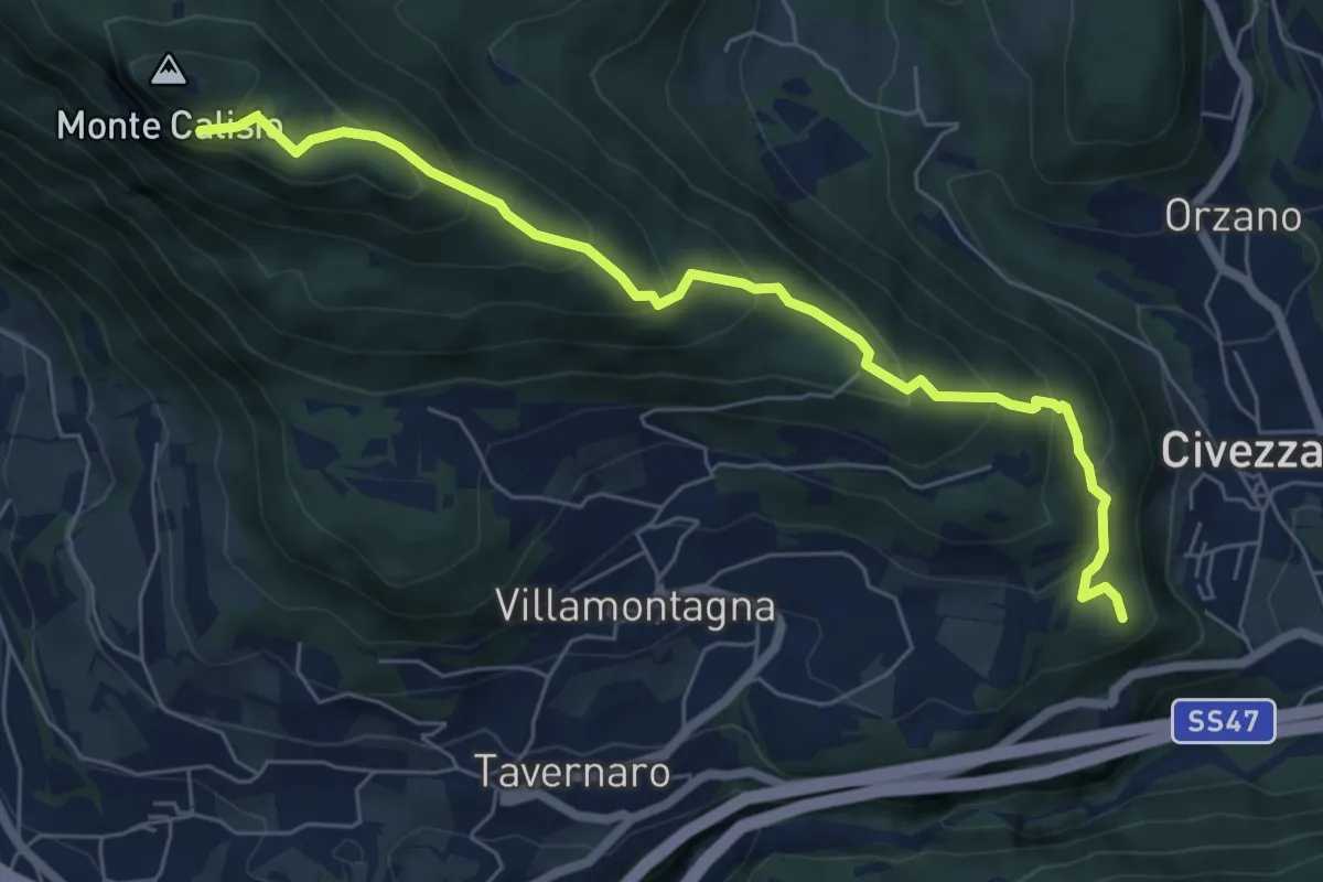
Medium · Summit
Sentiero delle Coste di Campel
6.7 km · ↑ 482 m · 2 h 37 min · 8 km away
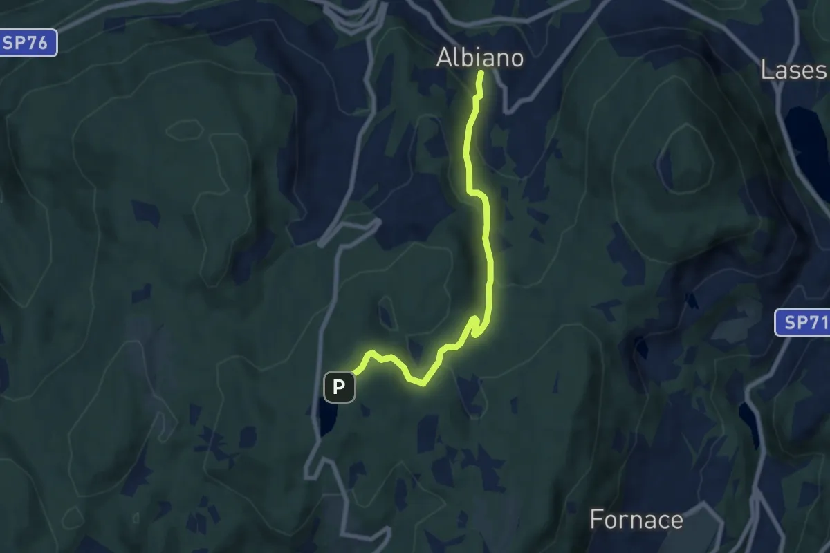
Easy · Trail
Albiano – Lago di Santa Colomba (bivio 421)
6.5 km · ↑ 318 m · 2 h 13 min · 9 km away
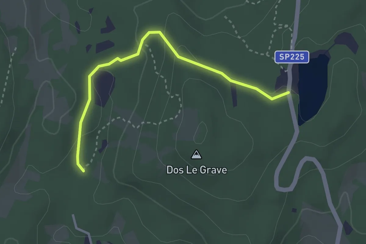
Easy · Trail
Biotopo Le Grave
2.8 km · ↑ 73 m · 49 min · 9 km away
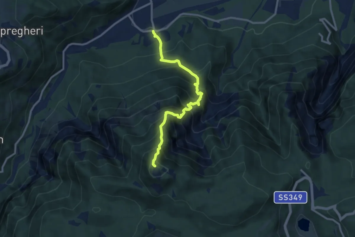
Demanding · Summit
Sentiero dei Piani
6.8 km · ↑ 1032 m · 3 h 51 min · 9 km away
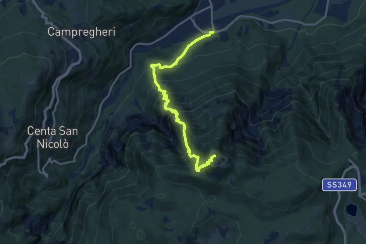
Demanding · Summit
Sentiero Attrezzato del Tamazol
9.1 km · ↑ 1023 m · 4 h 22 min · 9 km away
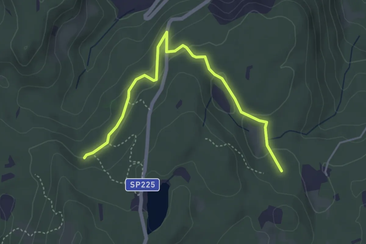
Easy · Trail
Quota 894 (bivio E473) – Prà Brogeron (bivio 421)
4.4 km · ↑ 107 m · 1 h 16 min · 9 km away
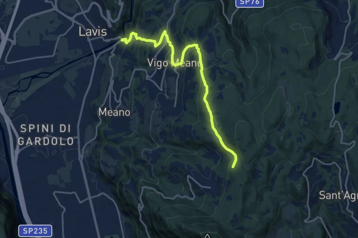
Medium · Trail
Sentiero della scaletta, delle Fratte, strada per Pralungo, sentiero Crozi di Valcalda
12.6 km · ↑ 617 m · 4 h 18 min · 9 km away
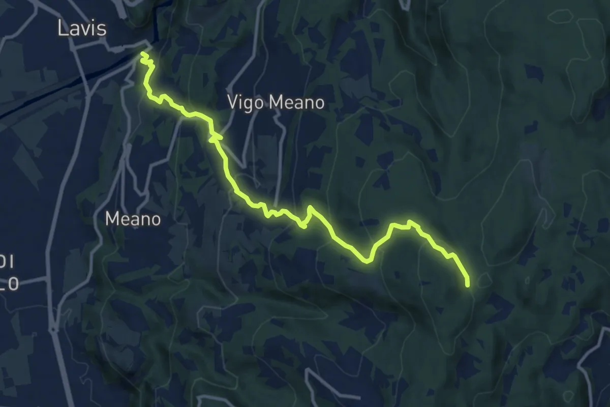
Medium · Trail
San Lazzaro - presso chiesa San Lazzaro – Dolasi (bivio 421)
11.2 km · ↑ 679 m · 4 h 6 min · 9 km away
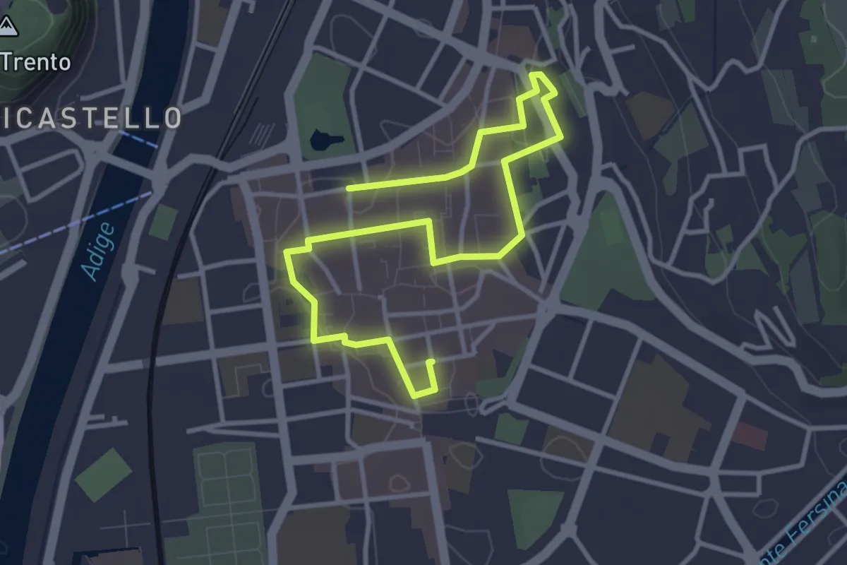
Easy · Trail
Intrighi e misteri ai tempi del Concilio
4.6 km · ↑ 18 m · 1 h 7 min · 9 km away
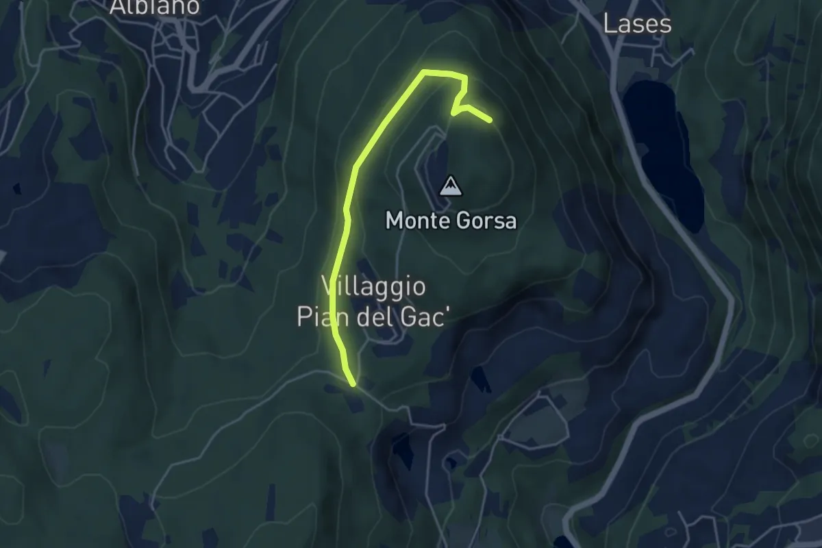
Easy · Trail
Pian del Gacc (bivio 474) – Versante nord del Monte Gorsa (bivio 474)
3.8 km · ↑ 154 m · 1 h 14 min · 9 km away
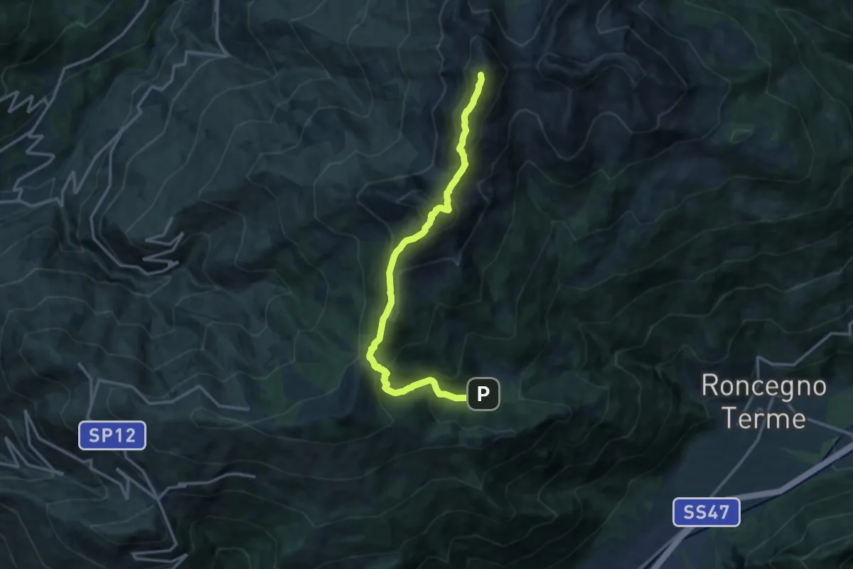
Demanding · Summit
Alta Via del Porfido - Tappa 4
14.0 km · ↑ 1314 m · 6 h 9 min · 9 km away
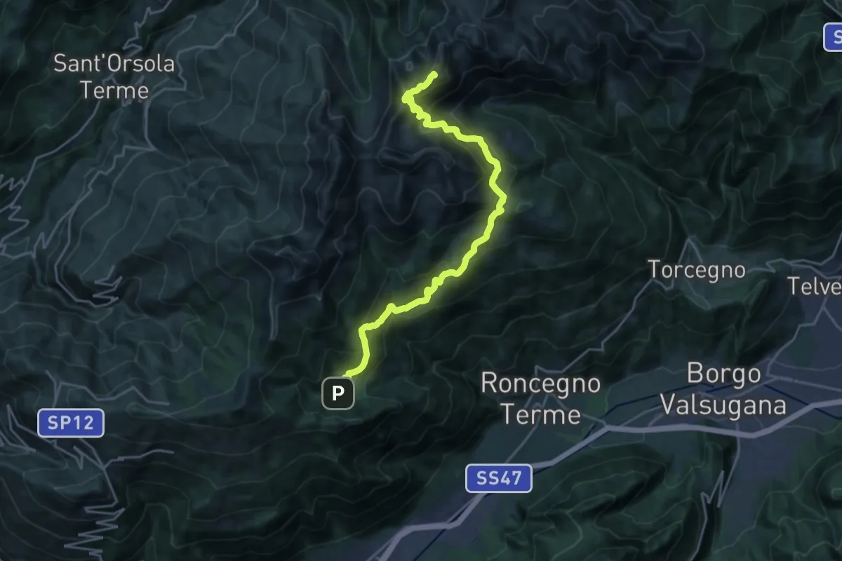
Demanding · Summit
Alta Via del Porfido - Tappa 3
21.6 km · ↑ 1581 m · 8 h 31 min · 9 km away
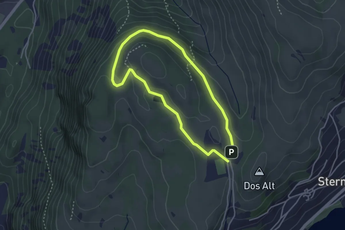
Easy · Trail
Giro di Bedolpian
2.9 km · ↑ 73 m · 53 min · 9 km away
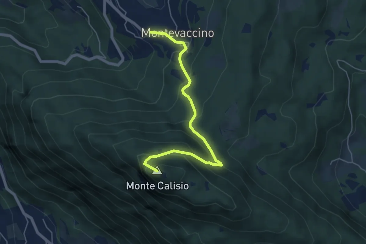
Demanding · Summit
Sentiero del Giaron
4.7 km · ↑ 347 m · 1 h 51 min · 9 km away
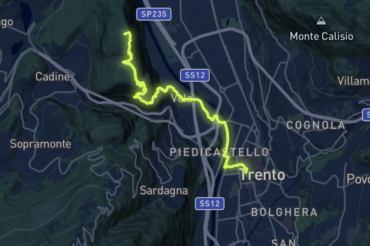
Medium · Summit
Via Vigilius - Tappa 8
16.0 km · ↑ 786 m · 5 h 29 min · 9 km away
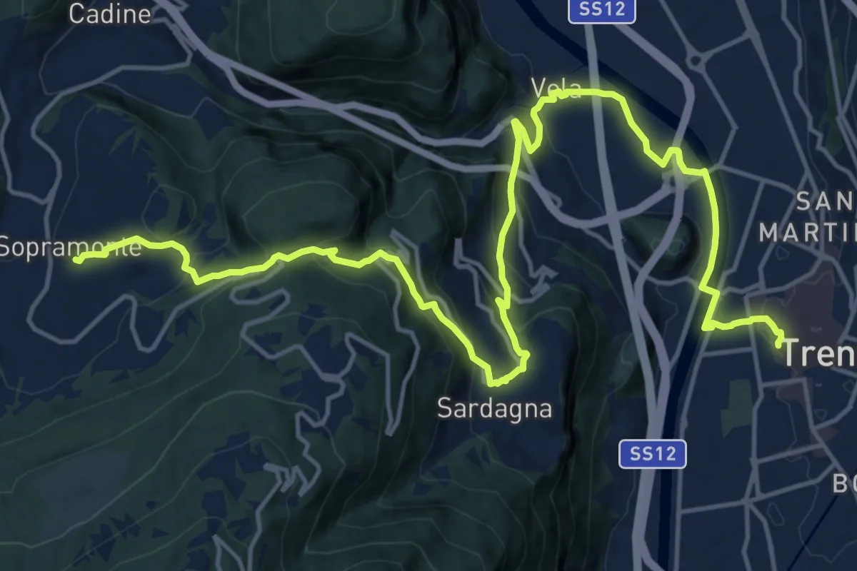
Demanding · Trail
Sentiero San Vili basso - Tappa 1
19.7 km · ↑ 823 m · 6 h 26 min · 9 km away
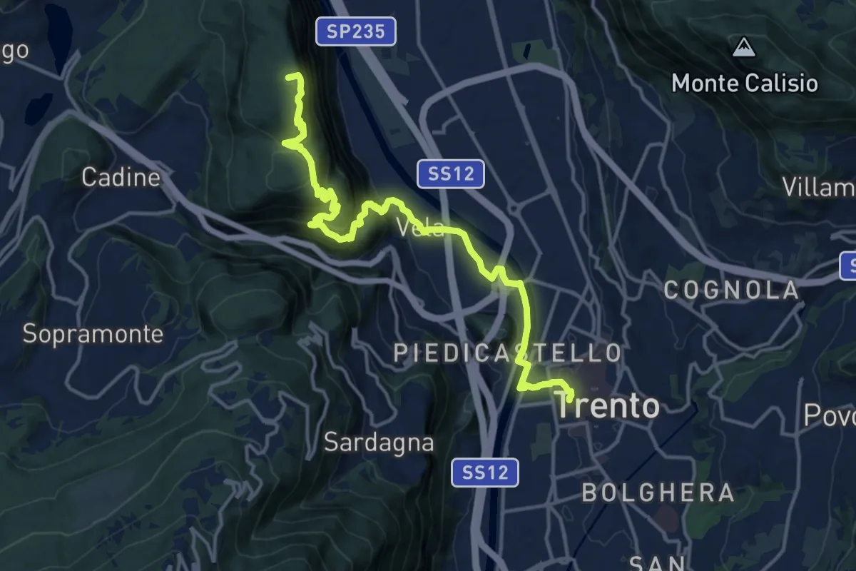
Demanding · Summit
Sentiero San Vili alto - Tappa 1
16.0 km · ↑ 786 m · 5 h 29 min · 9 km away
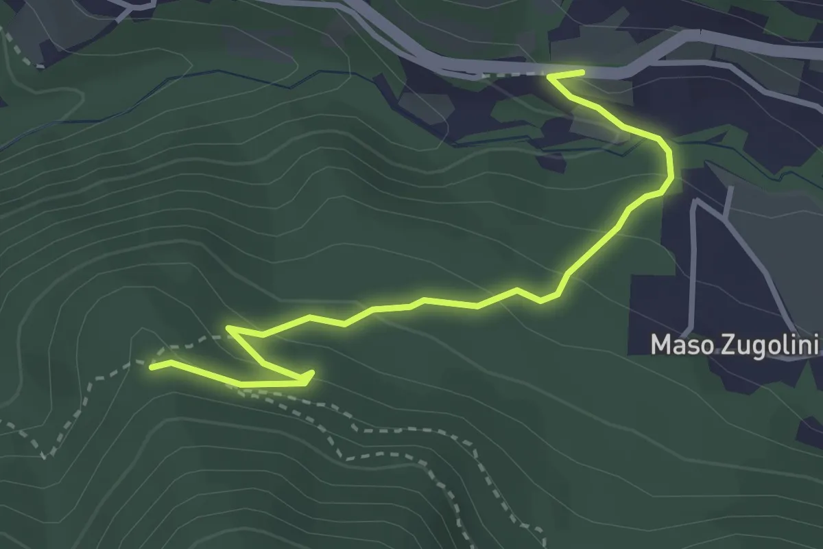
Easy · Trail
Bivio Strada Statale al Km 349 - presso Molini Valsorda – Forte Fornas (bivio 446)
3.3 km · ↑ 161 m · 1 h 8 min · 9 km away
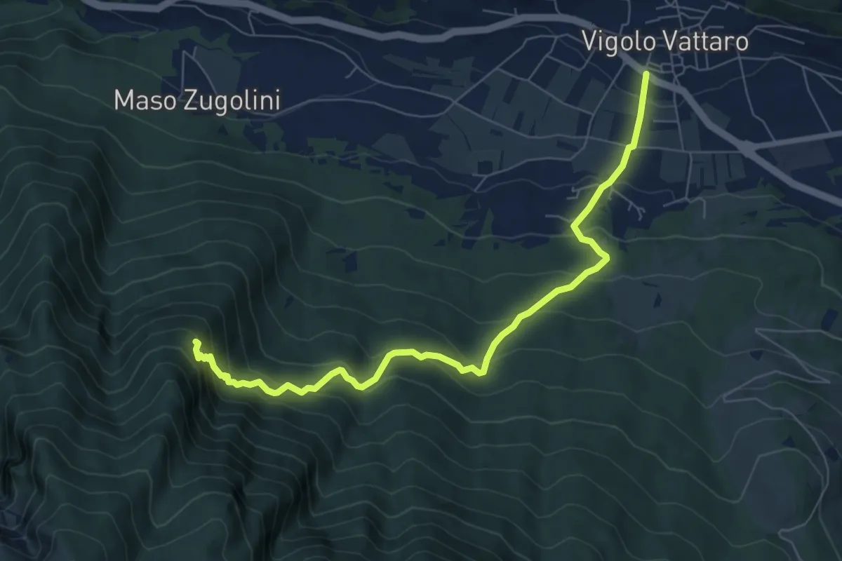
Medium · Trail
Senter dei Aseni
7.7 km · ↑ 591 m · 3 h 6 min · 10 km away
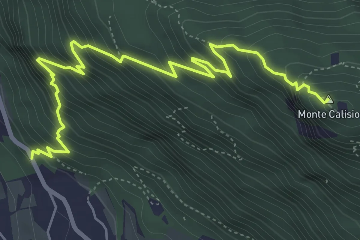
Demanding · Summit
Sentiero di Predamala
5.7 km · ↑ 739 m · 2 h 57 min · 10 km away
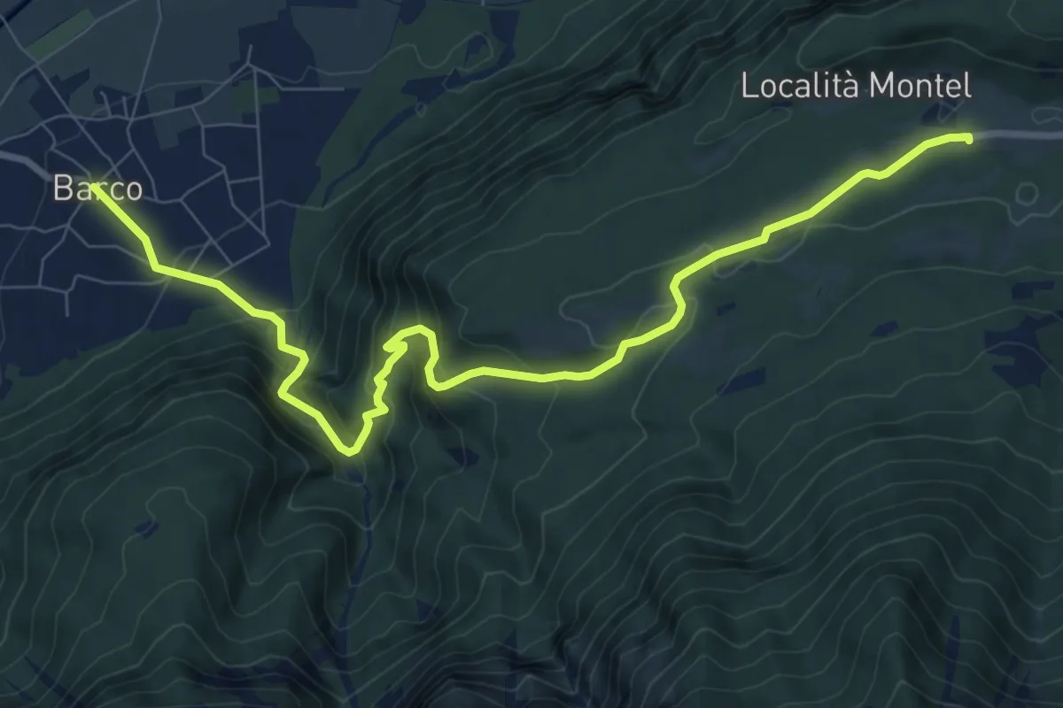
Medium · Trail
Barco – Sella - parcheggio presso ristorante Carlon
10.3 km · ↑ 647 m · 3 h 50 min · 10 km away
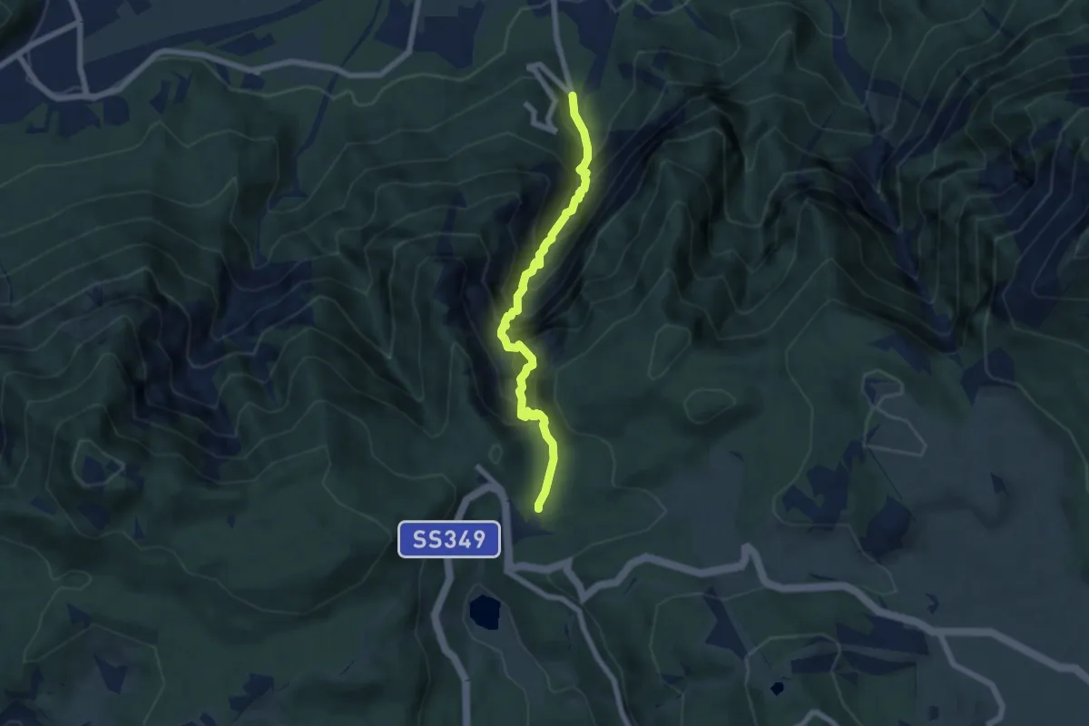
Expert · Trail
Via Ferrata della Val Scura "Clemente Chiesa"
6.2 km · ↑ 1097 m · 3 h 50 min · 10 km away
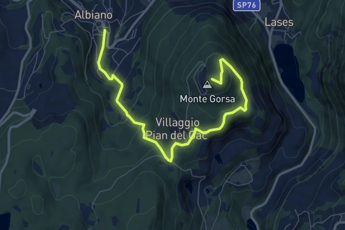
Medium · Summit
Sentiero schivabrighe per Fornas
8.4 km · ↑ 446 m · 2 h 57 min · 10 km away
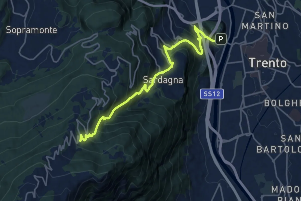
Demanding · Trail
Sentiero Trento nostra e via direttissima
12.6 km · ↑ 1084 m · 5 h 20 min · 10 km away
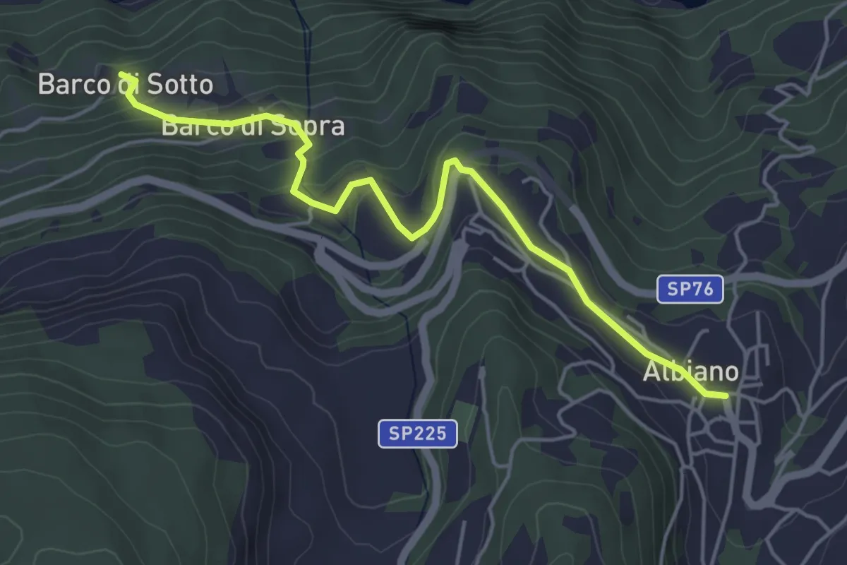
Easy · Trail
Le chiesette di Albiano
4.9 km · ↑ 244 m · 1 h 41 min · 10 km away
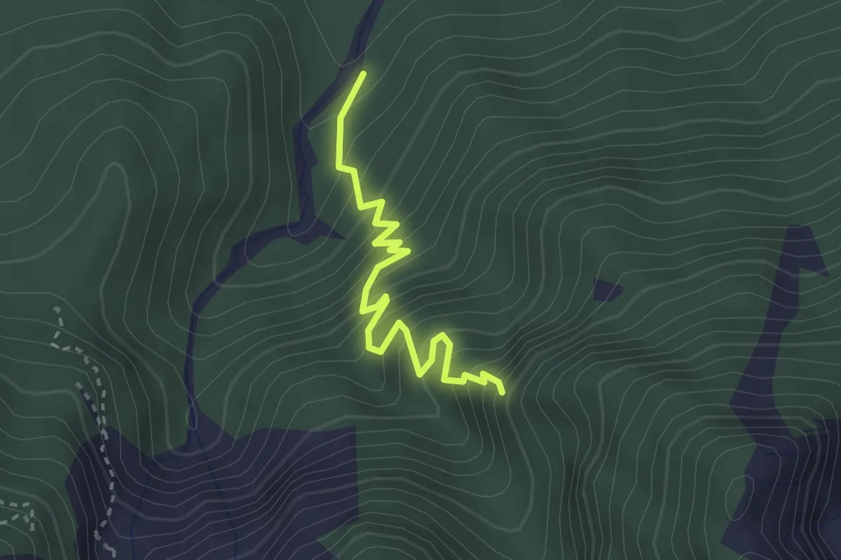
Medium · Trail
Ponte del Rio - Caldonazzo – Strada Provinciale 133 della Pegolara (bivio 202)
2.8 km · ↑ 360 m · 1 h 26 min · 10 km away
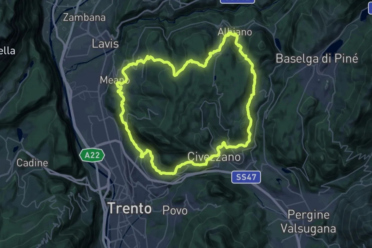
Demanding · Summit
Giro del Calisio
29.0 km · ↑ 1204 m · 9 h 51 min · 10 km away
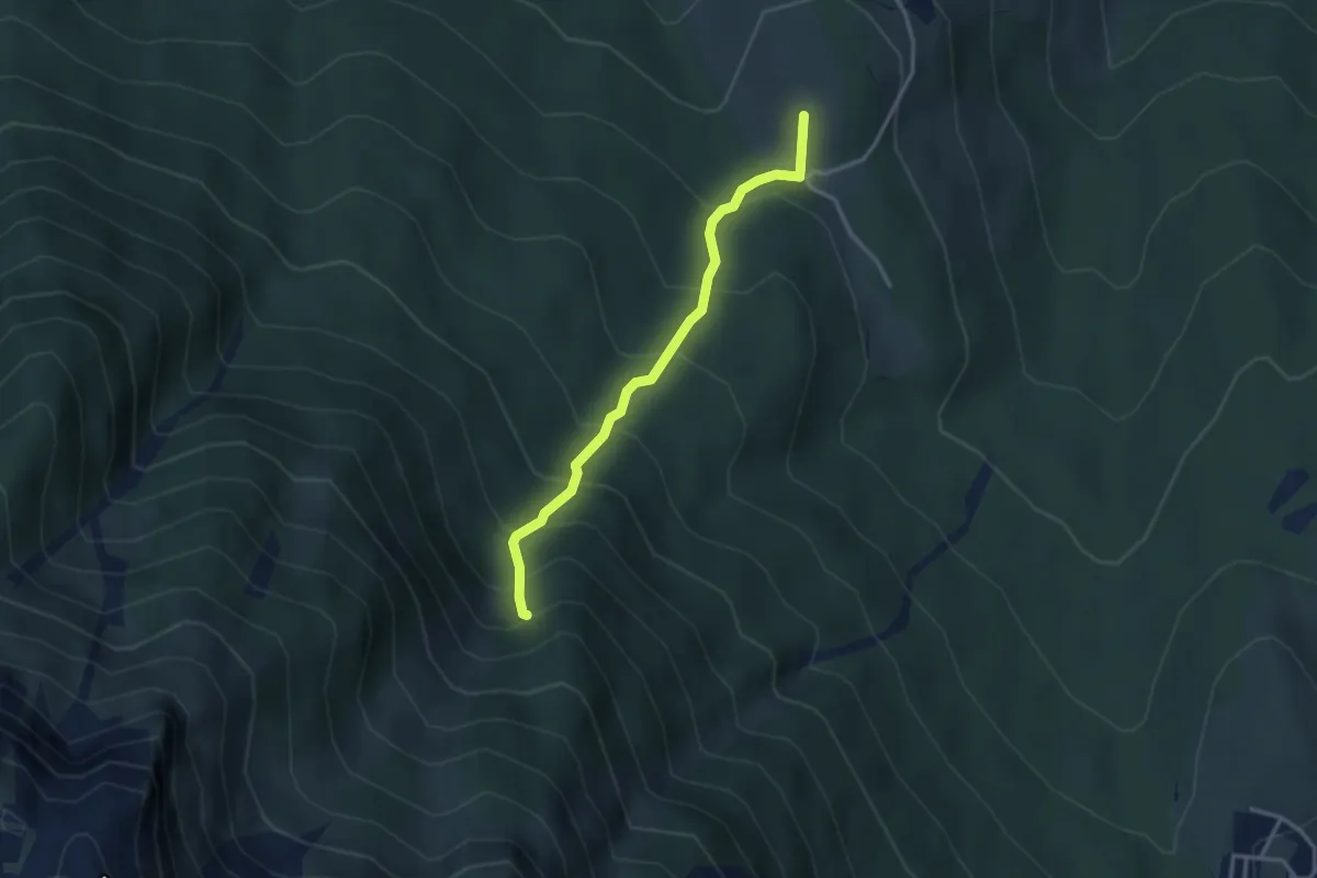
Medium · Summit
Ex Malga Doss del Bugo – Val Larga (bivio 444)
3.0 km · ↑ 365 m · 1 h 30 min · 10 km away
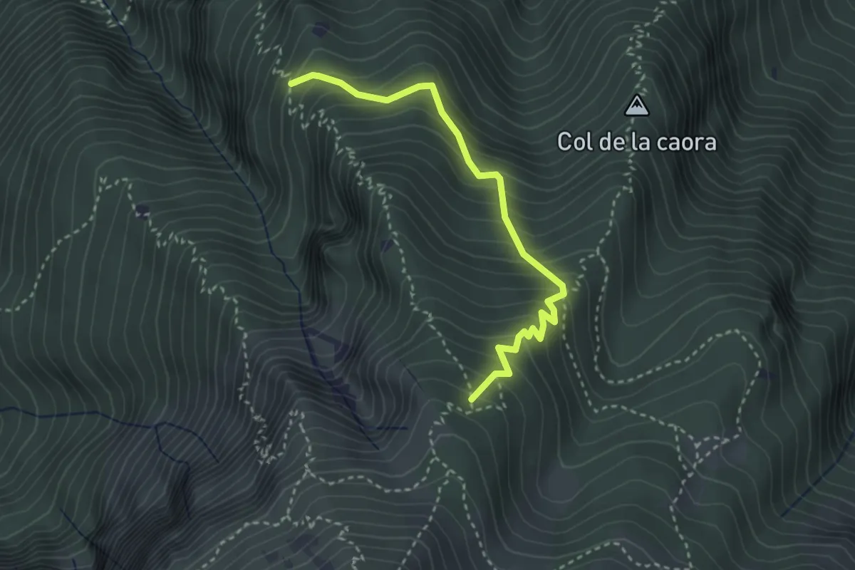
Medium · Trail
Presso Doredondo (bivio 446) – Nord-est Sass dell'Aquila (bivio 446)
3.2 km · ↑ 436 m · 1 h 42 min · 10 km away
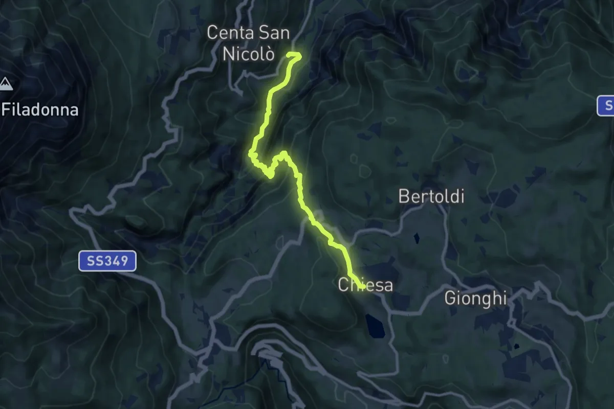
Medium · Trail
Sentiero dell'Ancino o del Lanzino
10.4 km · ↑ 742 m · 4 h 4 min · 10 km away
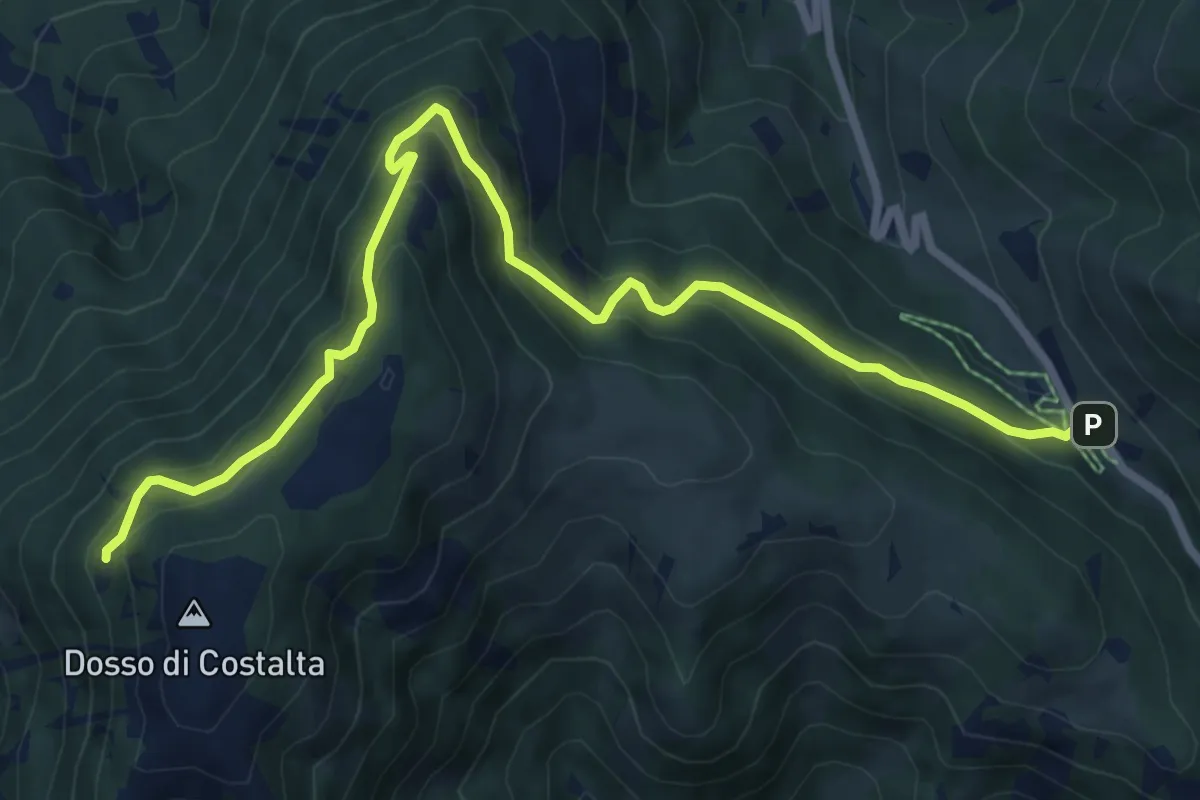
Medium · Trail
Senter dei Russi
8.8 km · ↑ 567 m · 3 h 18 min · 11 km away
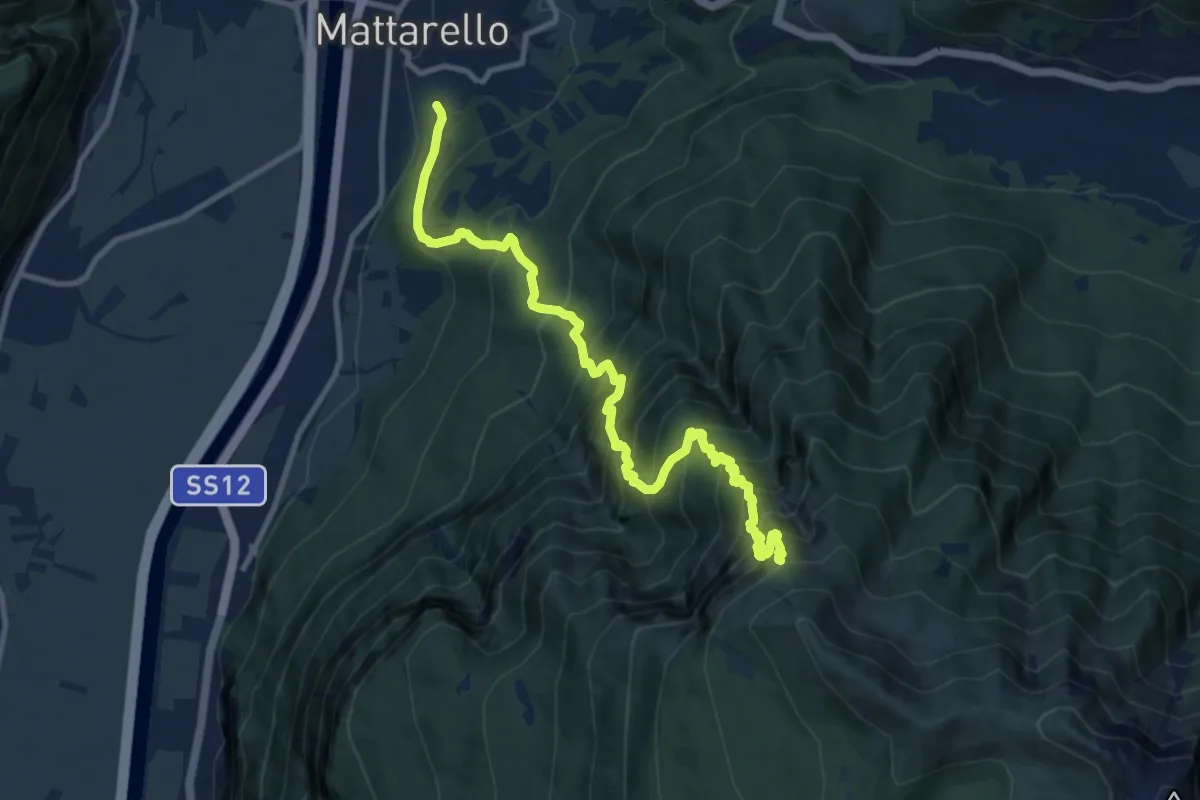
Demanding · Trail
Mattarello - Via Stolzano – Quota 1718 (bivio 446)
11.6 km · ↑ 1649 m · 6 h 19 min · 11 km away
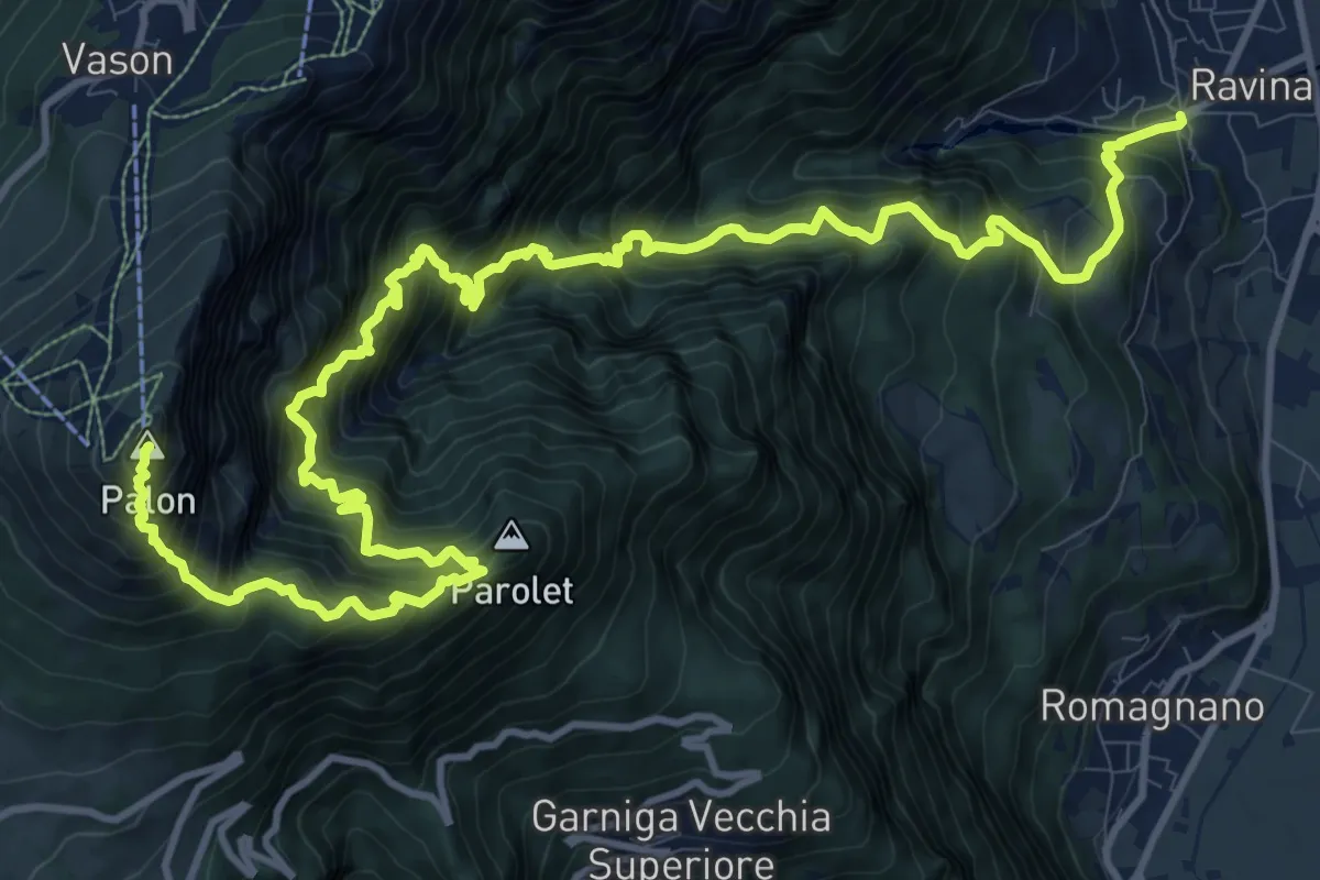
Demanding · Summit
Sentiero della Val delle Gole
18.0 km · ↑ 2715 m · 10 h 8 min · 11 km away
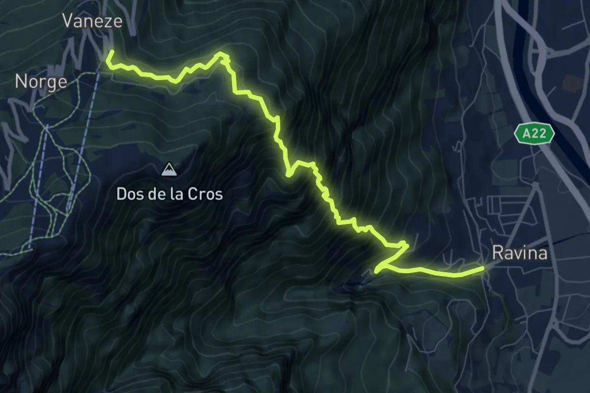
Demanding · Trail
Ravina (bivio 626) – Vaneze
9.6 km · ↑ 1292 m · 5 h 5 min · 11 km away
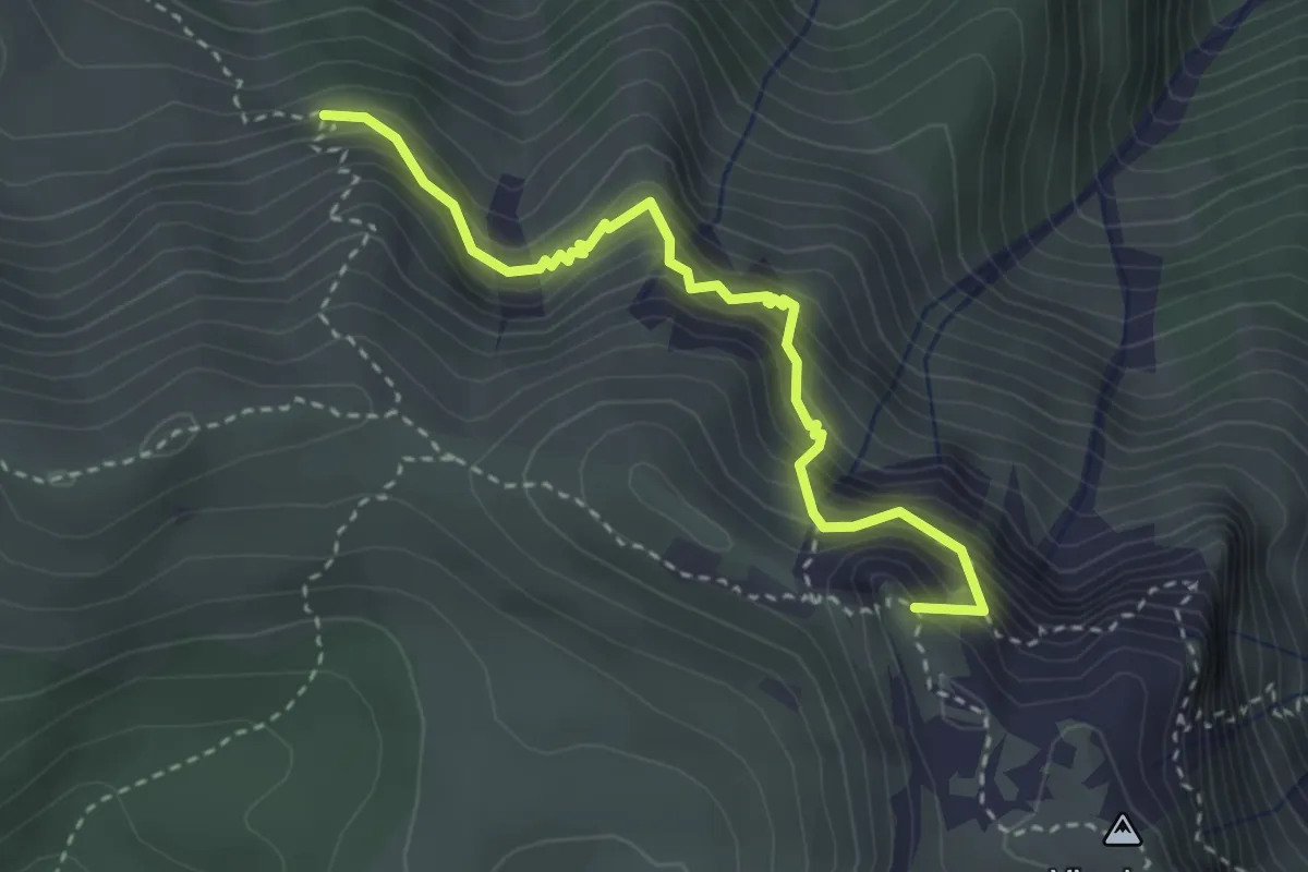
Demanding · Summit
Sentiero Attrezzato delle Grattarole
3.3 km · ↑ 500 m · 1 h 52 min · 11 km away
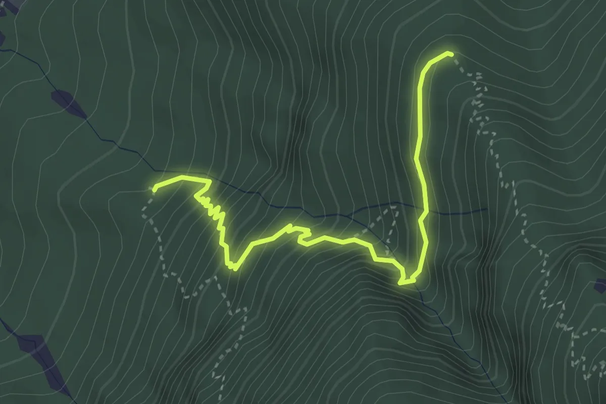
Medium · Trail
Quota 527 (bivio 447) – Malghetta (bivio 446)
3.9 km · ↑ 447 m · 1 h 53 min · 11 km away
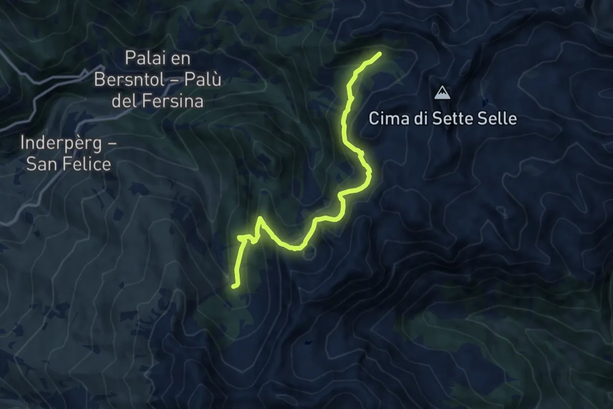
Demanding · Trail
Valcava - Baita Balkofhitt – Indertol (bivio 343)
10.8 km · ↑ 834 m · 4 h 21 min · 11 km away
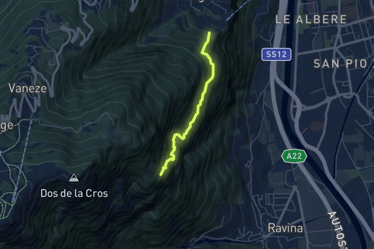
Medium · Trail
Sentiero "Pero Degasperi"
4.4 km · ↑ 662 m · 2 h 28 min · 11 km away
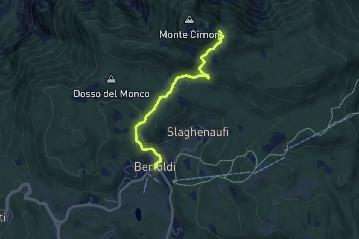
Medium · Trail
Bertoldi - fontana del Tomaso – Hinderloch (bivio 220)
5.0 km · ↑ 316 m · 1 h 52 min · 11 km away
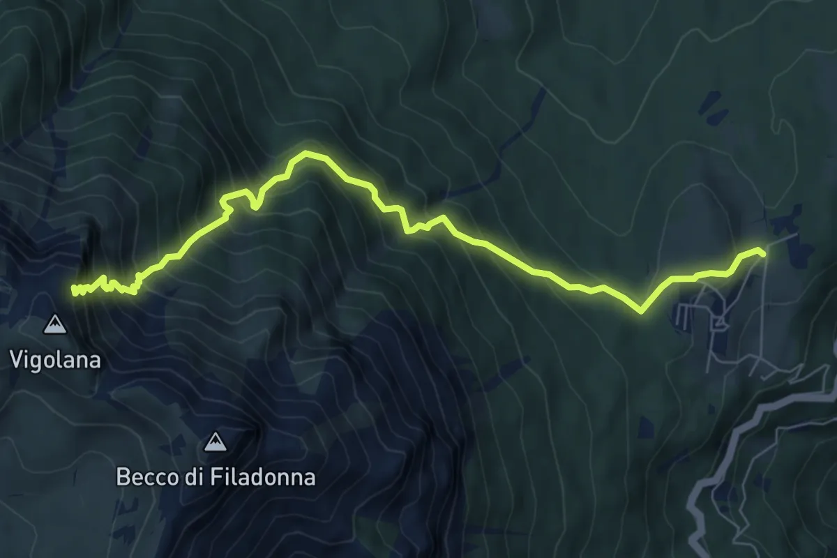
Demanding · Cabin
March (Rifugio Paludèi) – Percorso 425
7.8 km · ↑ 1112 m · 4 h 15 min · 11 km away
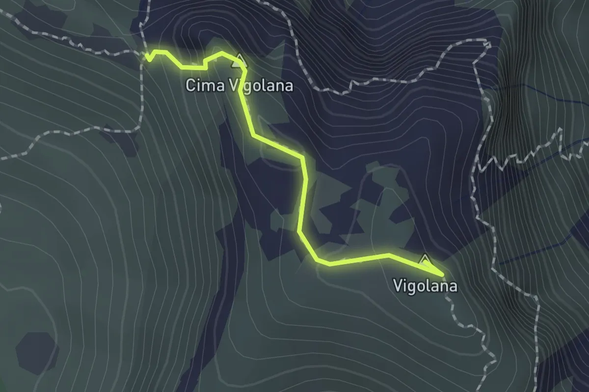
Demanding · Summit
Bocca Lavinella (bivio 450 453) – Bocca di Val Larga (bivio 425)
1.5 km · ↑ 91 m · 33 min · 11 km away
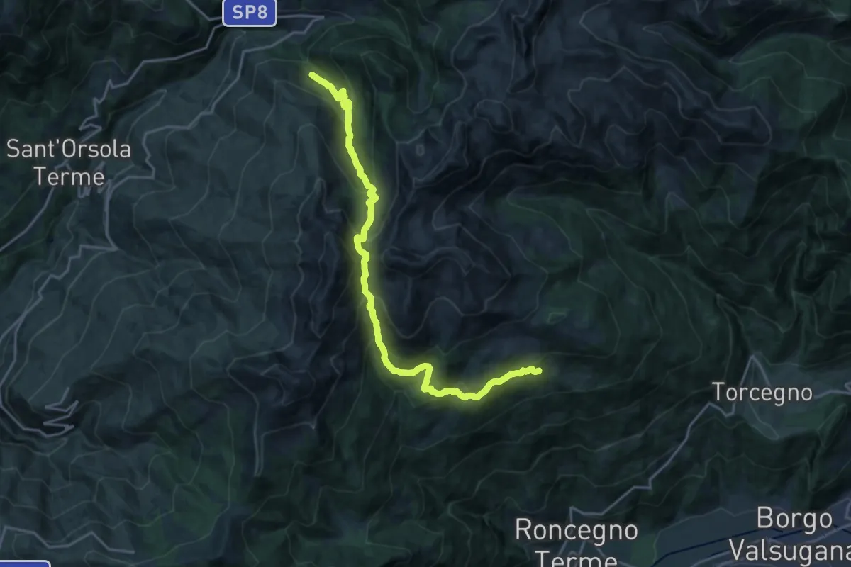
Demanding · Trail
Desene di sopra – Presso Sasso dei Cacciatori
19.0 km · ↑ 1432 m · 7 h 35 min · 11 km away
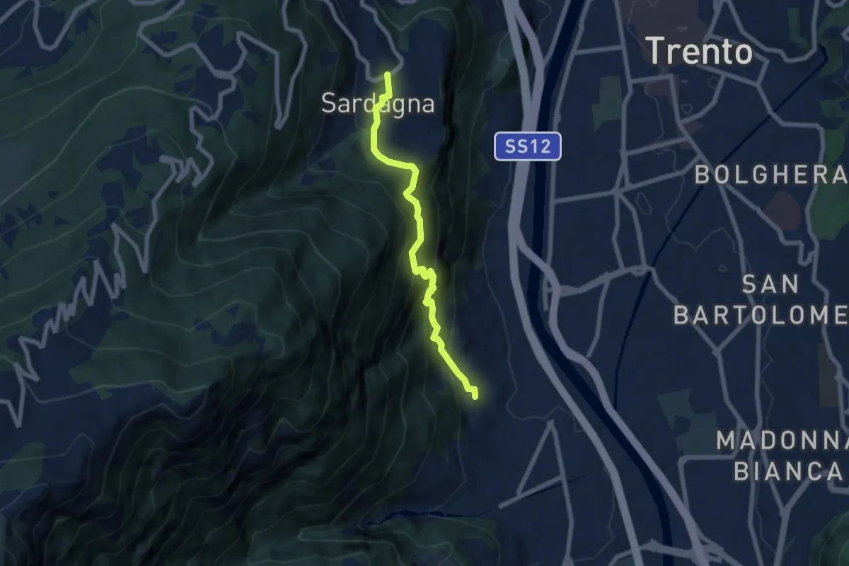
Medium · Trail
Belvedere di Ravina – Sardagna (bivio 645)
6.1 km · ↑ 607 m · 2 h 45 min · 11 km away