Trails near Pergine Valsugana
169 hikes starting within 15 km, nearest first.
Nearest first, page 3 of 4
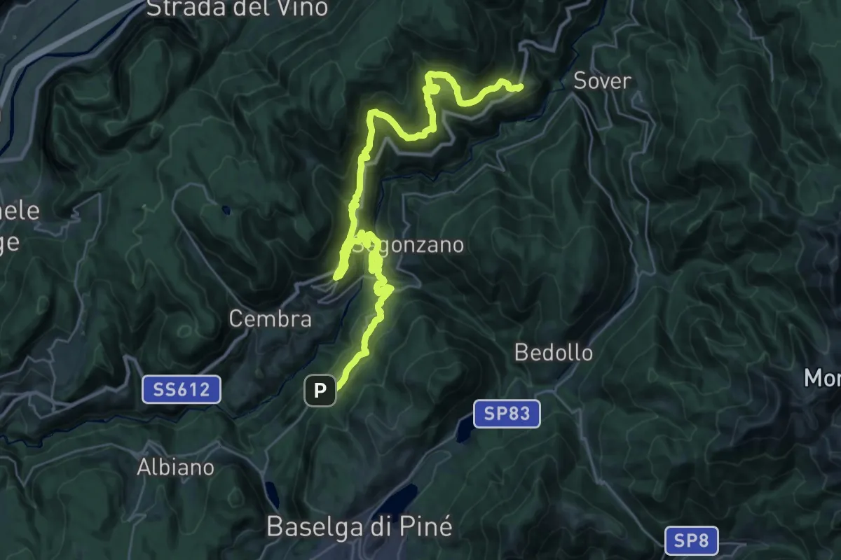
Demanding · Trail
Cammino delle terre sospese - Tappa 5
18.4 km · ↑ 1062 m · 6 h 49 min · 11 km away
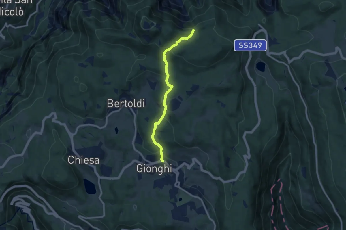
Easy · Trail
Gionghi – Presso Belvedere (bivio 220)
6.5 km · ↑ 282 m · 2 h 8 min · 11 km away
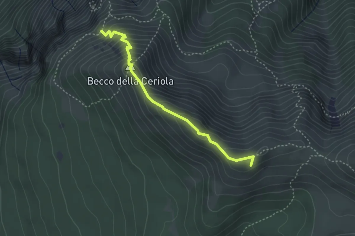
Expert · Summit
Sentiero attrezzato Caduti della Montagna
3.4 km · ↑ 363 m · 1 h 35 min · 11 km away
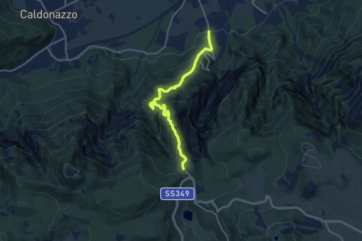
Demanding · Trail
Sentiero della Pegolara
8.7 km · ↑ 1019 m · 4 h 16 min · 11 km away
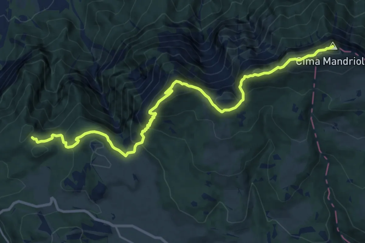
Demanding · Summit
Sentiero "Mario Magnago"
16.2 km · ↑ 1035 m · 6 h 3 min · 11 km away
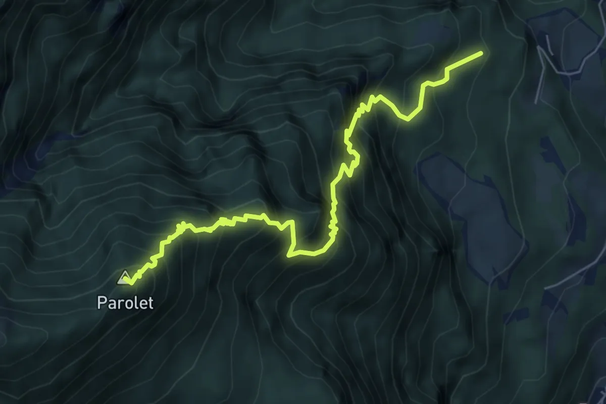
Expert · Summit
Senter de la Terlaga
6.9 km · ↑ 1059 m · 3 h 55 min · 11 km away
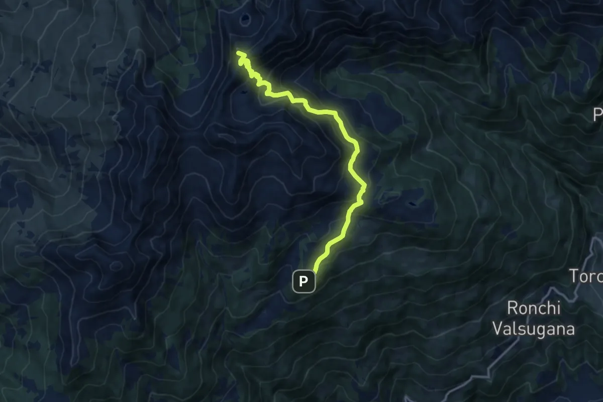
Demanding · Summit
Rifugio Serot (bivio 371 - 372B) – Passo del Lago (bivio 325 - 343)
11.9 km · ↑ 905 m · 4 h 47 min · 12 km away
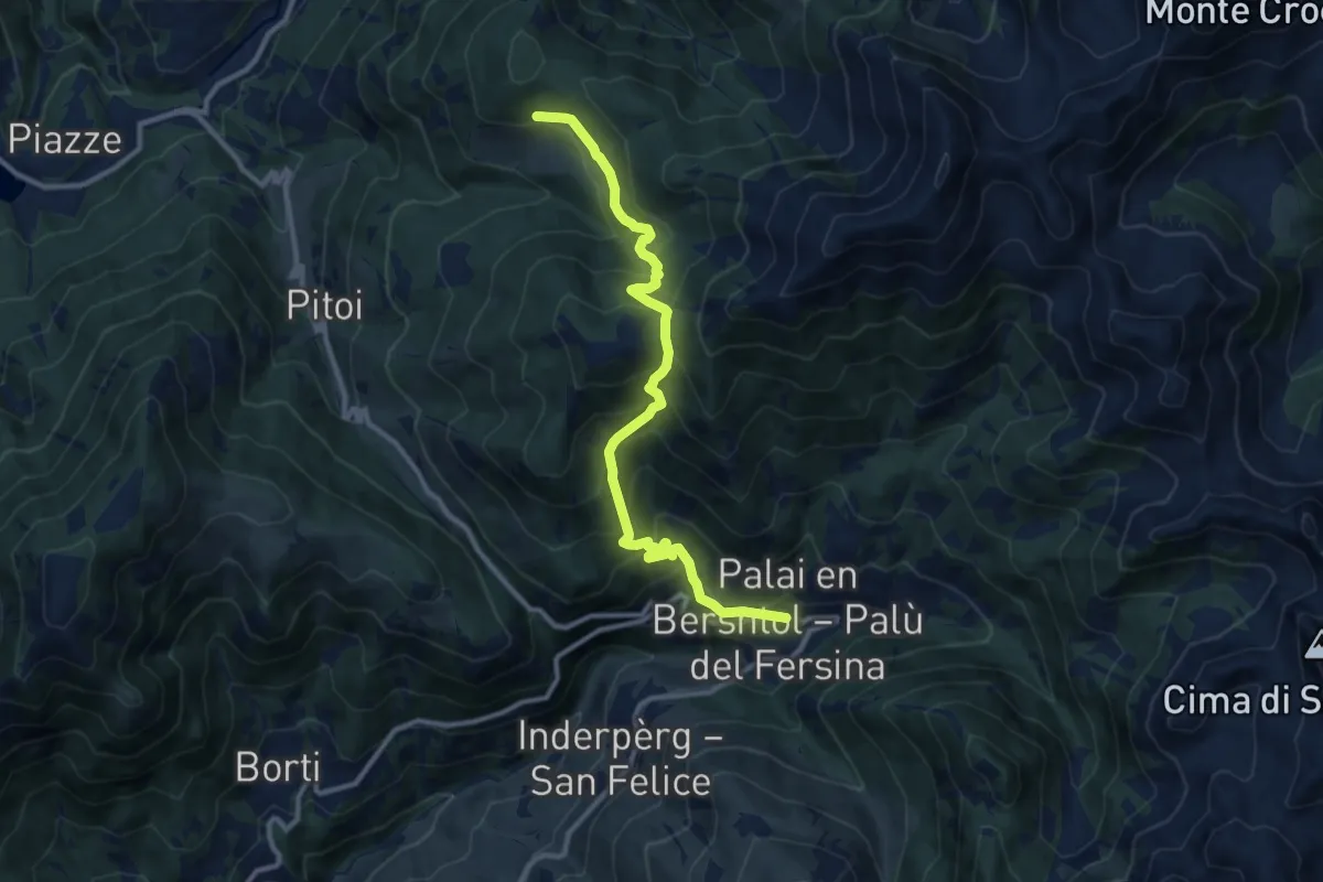
Demanding · Trail
Lènzi - frazione di Palù del Fèrsina – Stramaiolo (bivio 443)
11.3 km · ↑ 875 m · 4 h 33 min · 12 km away
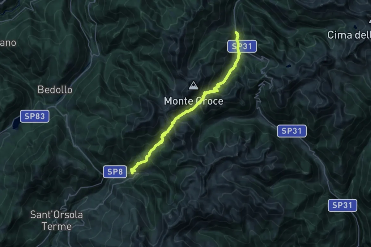
Demanding · Trail
Lènzi - frazione di Palù del Fèrsina – Presso Baito Fornasa Bassa, strada provinciale 31
11.3 km · ↑ 986 m · 4 h 54 min · 12 km away
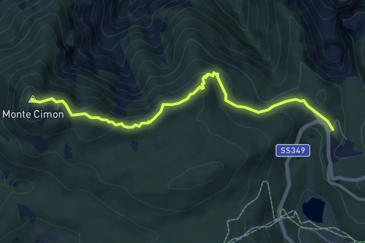
Medium · Summit
Fratesele (bivio 201) – Monte Cimone (bivio 222 - 225)
6.3 km · ↑ 347 m · 2 h 15 min · 12 km away
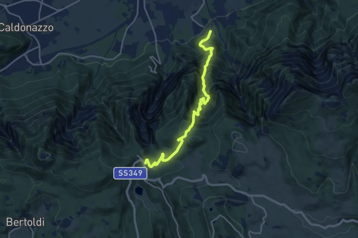
Demanding · Trail
Senter del Menador
11.1 km · ↑ 1159 m · 5 h 8 min · 12 km away
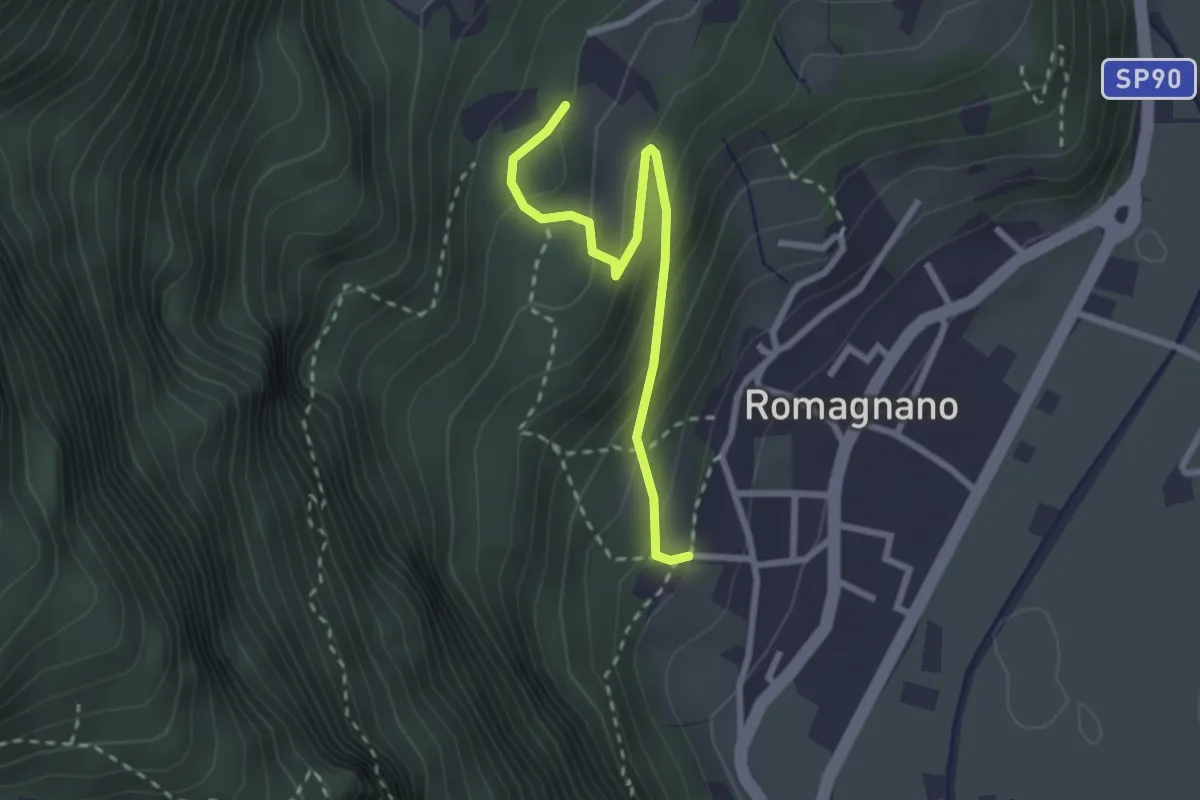
Easy · Trail
13
2.6 km · ↑ 203 m · 1 h 3 min · 12 km away
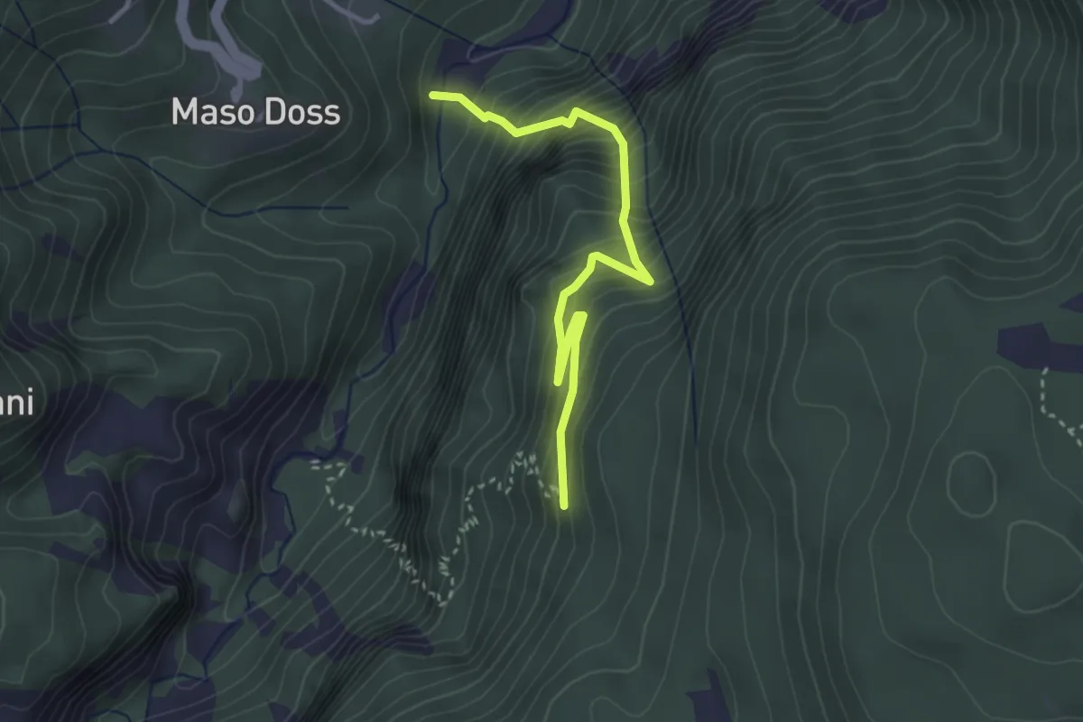
Medium · Trail
Via ferrata di Valimpach
3.3 km · ↑ 503 m · 1 h 52 min · 12 km away
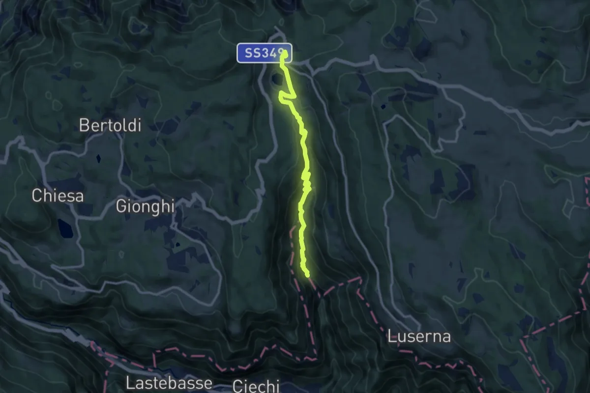
Medium · Trail
Sentiero Valle Rio Torto
9.5 km · ↑ 479 m · 3 h 17 min · 12 km away
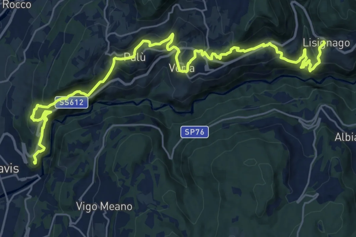
Demanding · Summit
Cammino delle terre sospese - Tappa 1
22.9 km · ↑ 1363 m · 8 h 21 min · 12 km away
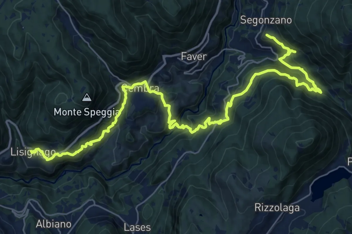
Demanding · Trail
Cammino delle terre sospese - Tappa 2
15.1 km · ↑ 1032 m · 5 h 56 min · 12 km away
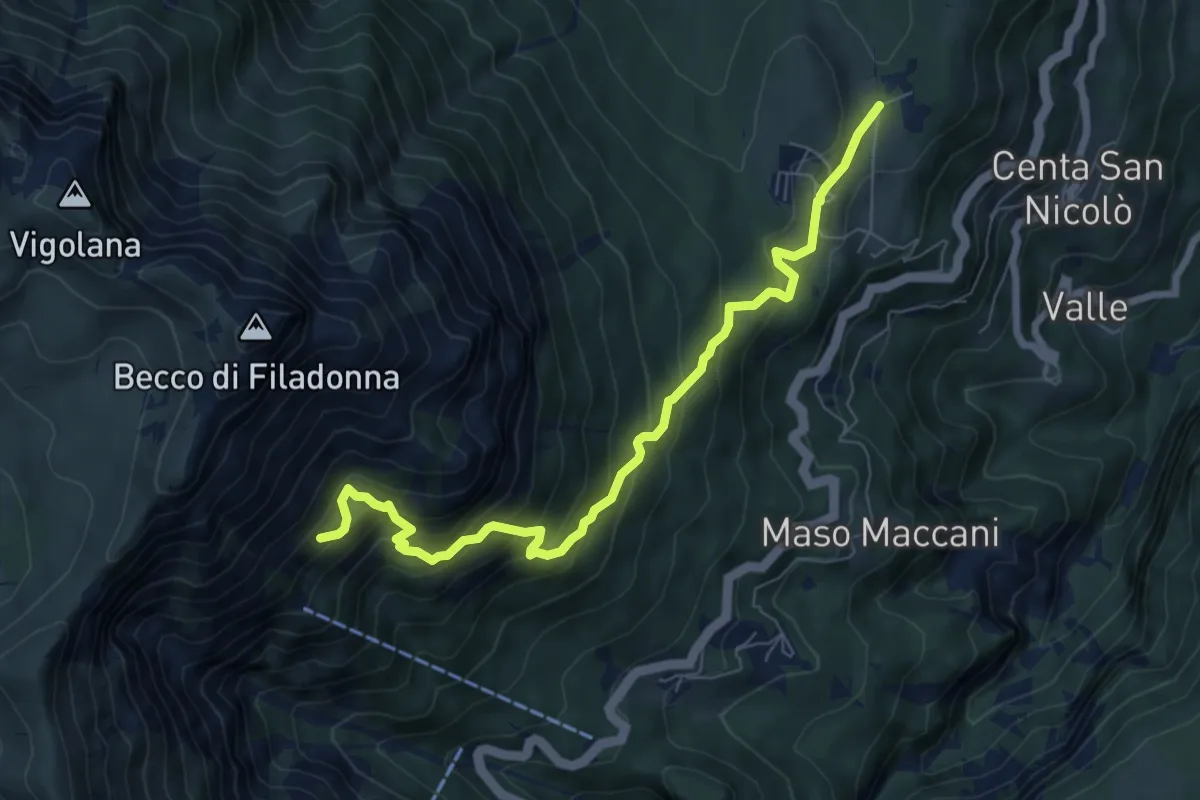
Demanding · Cabin
Sentiero attrezzato dei pastori
7.7 km · ↑ 716 m · 3 h 22 min · 12 km away
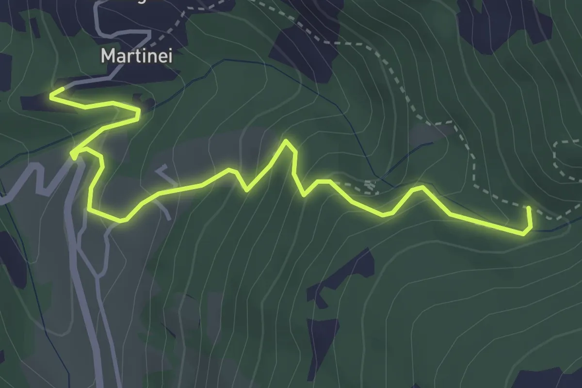
Medium · Trail
Presso Martinei (bivio 443) – Val dell'Inferno (bivio 443)
4.1 km · ↑ 368 m · 1 h 46 min · 12 km away
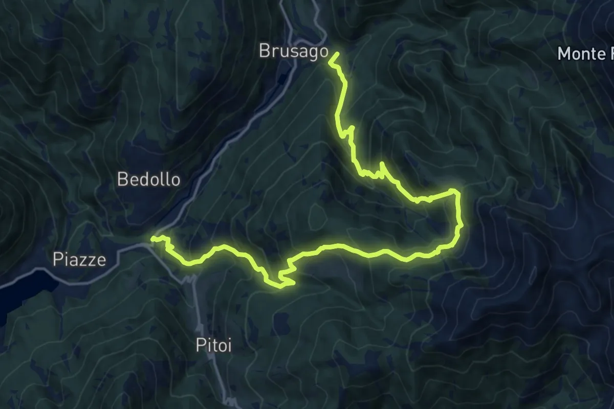
Demanding · Summit
Centrale di Bedollo (bivio 406B) – Brusago (bivio 407)
20.0 km · ↑ 1653 m · 8 h 18 min · 12 km away
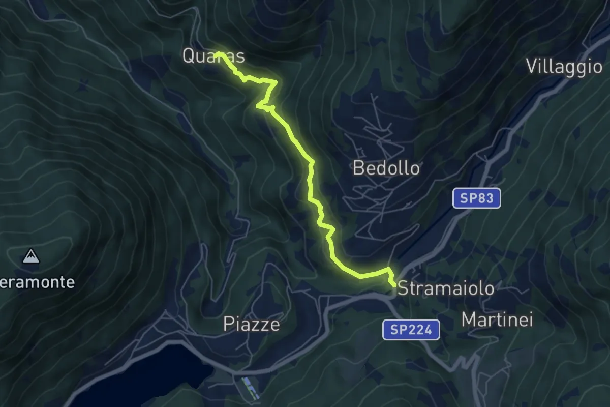
Medium · Trail
Quaras – Centrale di Bedollo (bivio 443)
5.2 km · ↑ 332 m · 1 h 57 min · 12 km away
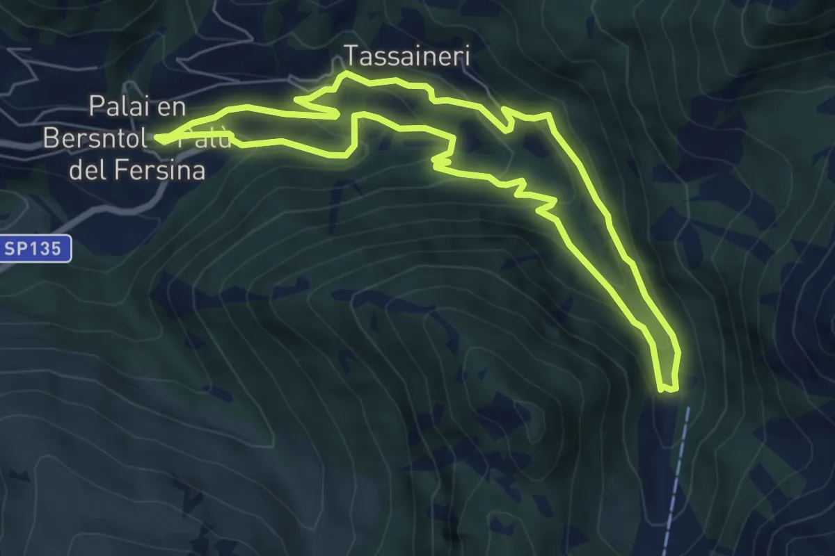
Medium · Trail
Percorso Miniera Palu
6.1 km · ↑ 350 m · 2 h 17 min · 12 km away
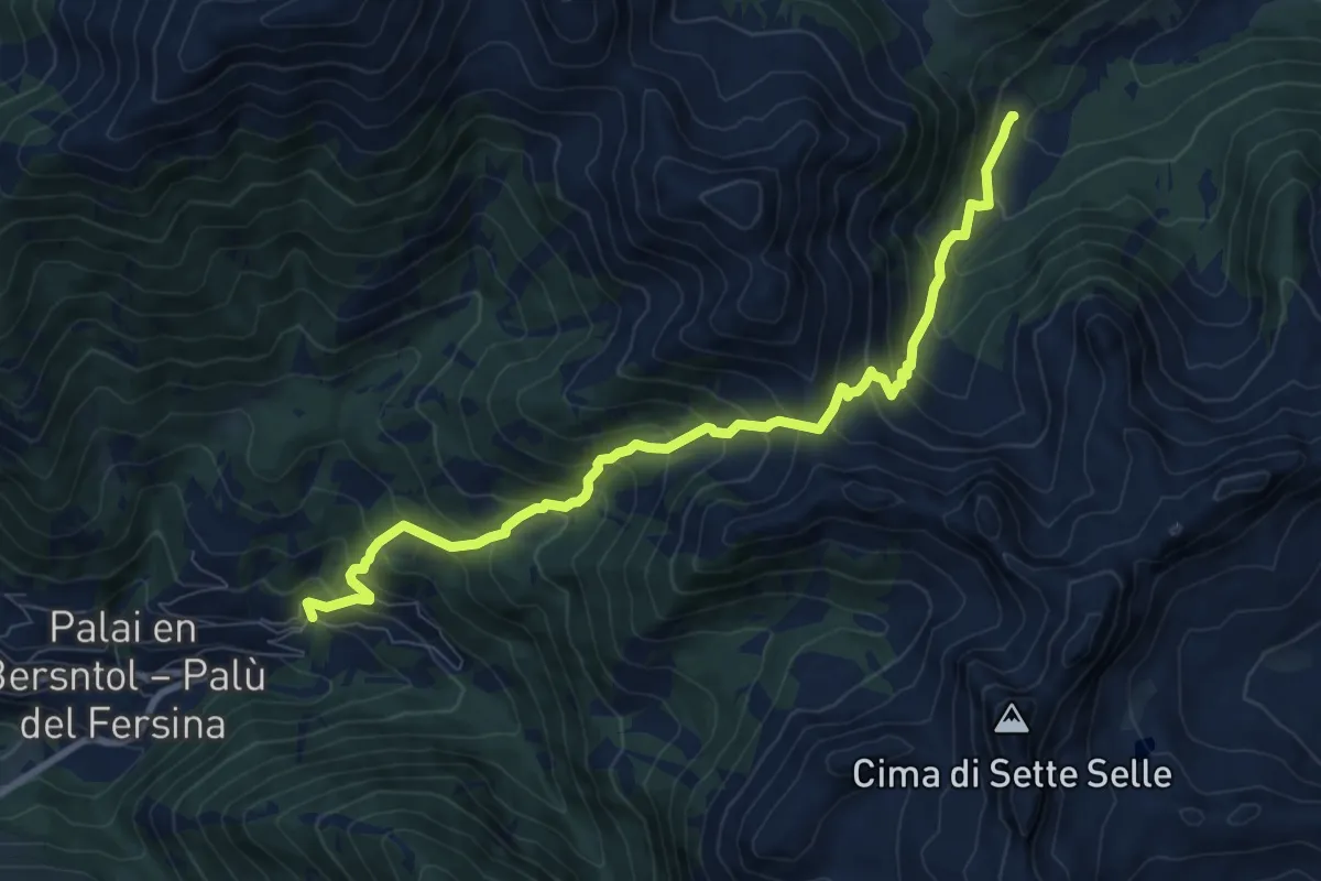
Demanding · Trail
Presso Battisti - Palù del Fèrsina – Malga Cagnon di sotto
9.2 km · ↑ 923 m · 4 h 10 min · 12 km away
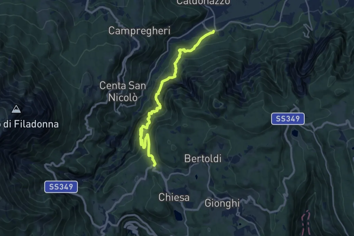
Expert · Trail
Sentiero attrezzato della strada della Val Careta
14.4 km · ↑ 1323 m · 6 h 16 min · 12 km away
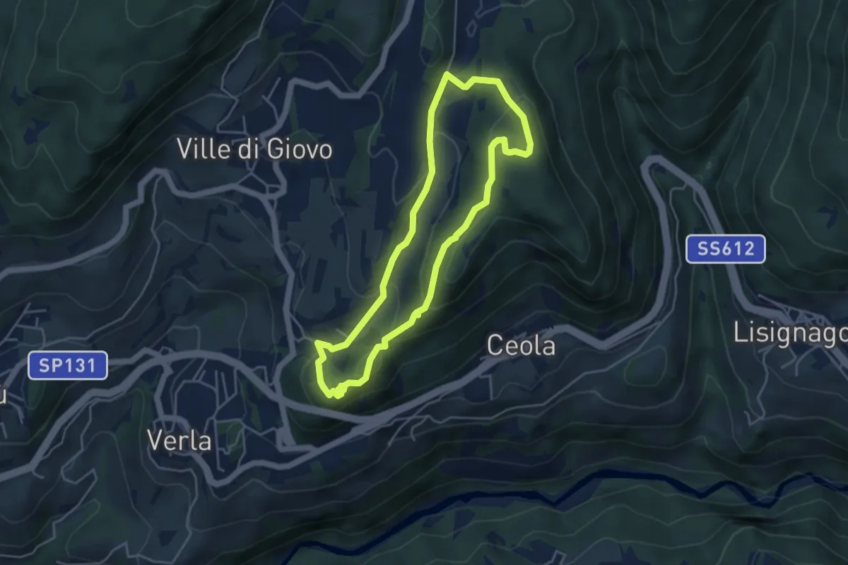
Easy · Trail
Sentiero naturalistico del Mancabrot
4.0 km · ↑ 186 m · 1 h 25 min · 12 km away
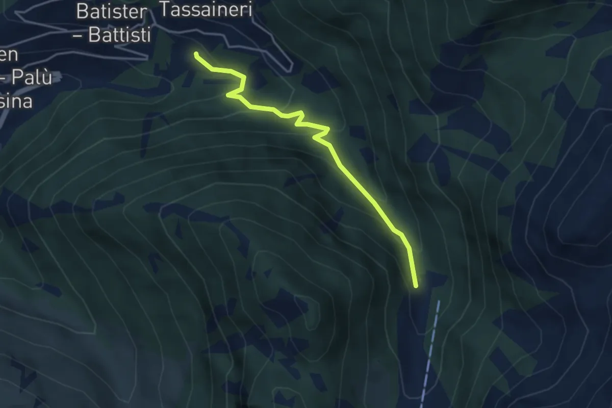
Easy · Trail
Presso Understoll - Palù del Fèrsina (bivio 325) – Presso Maso Lenzi (bivio 325)
3.6 km · ↑ 258 m · 1 h 24 min · 13 km away
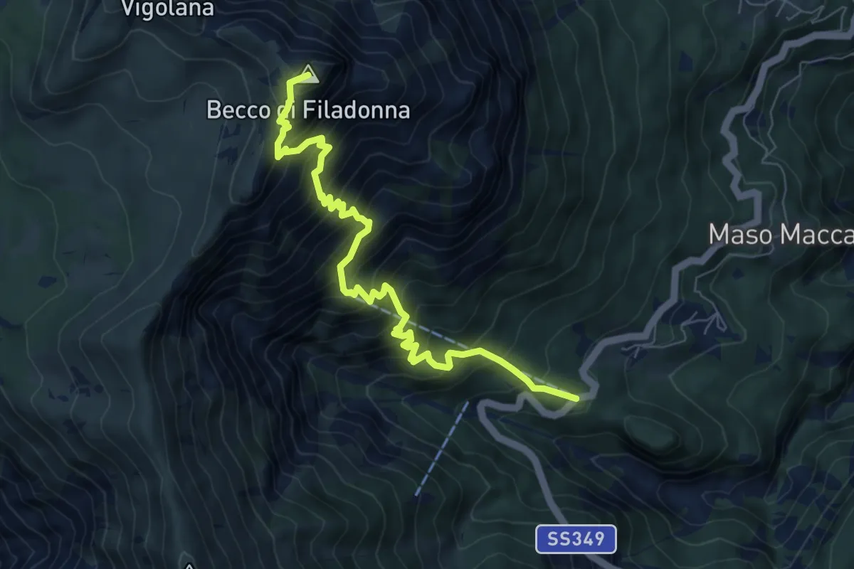
Demanding · Summit
Bar ristorante Al Sindech – Versante o Becco di Filadonna (bivio 425)
7.8 km · ↑ 1013 m · 4 h 2 min · 13 km away
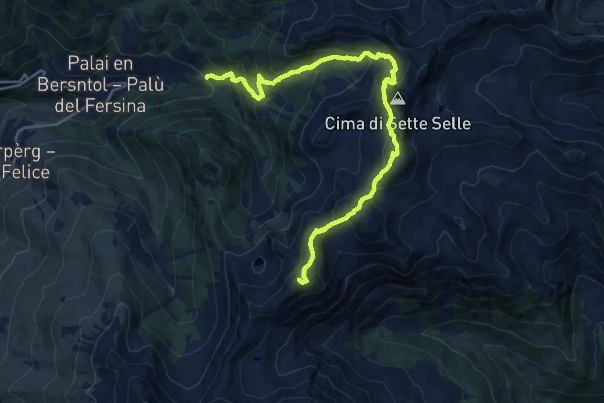
Demanding · Summit
Frotten - Palù del Fersina (bivio 325) – Passo del lago (bivio 323 - 325)
13.6 km · ↑ 1242 m · 5 h 54 min · 13 km away
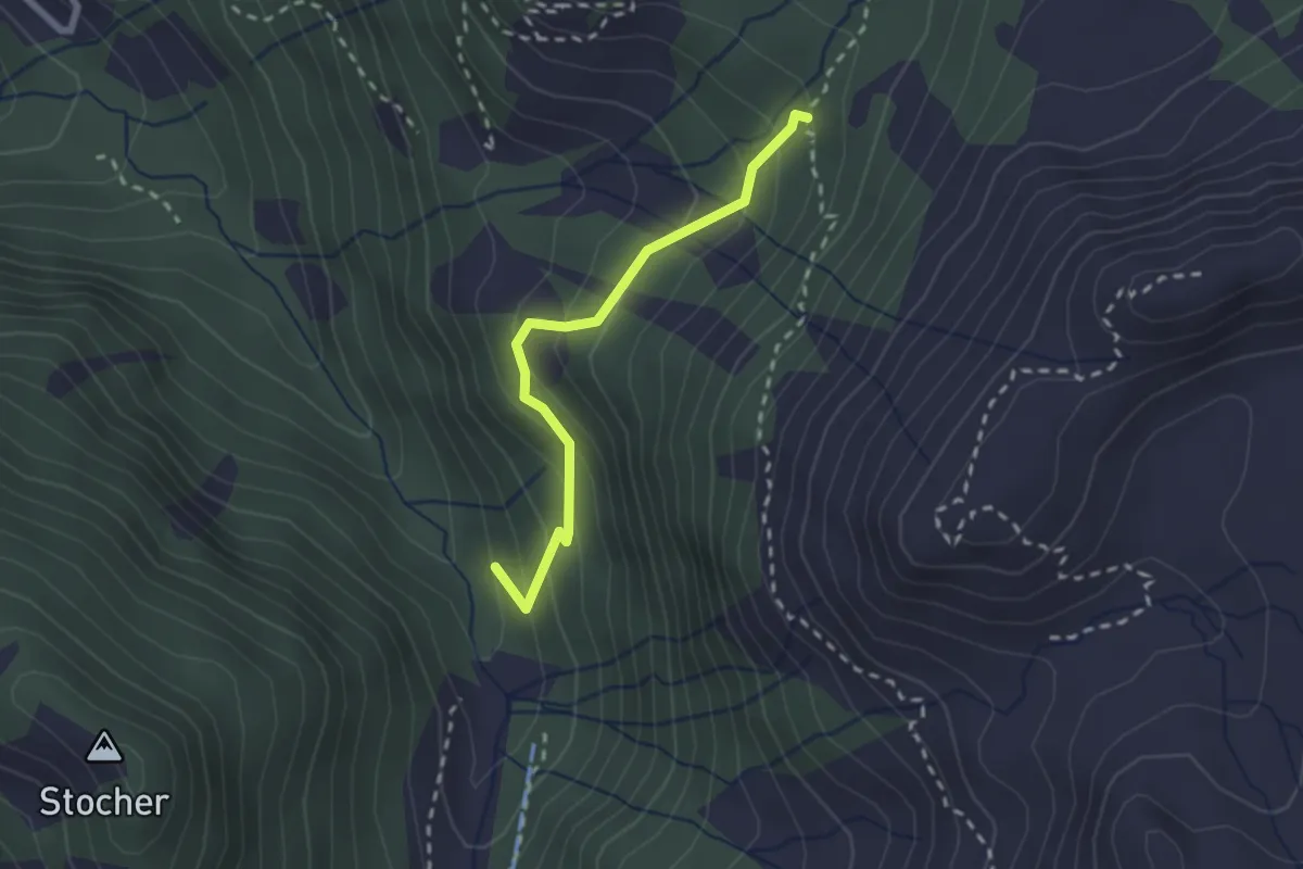
Medium · Trail
Bivio miniera - Grua Hardimbl (bivio 325) – Indertol (bivio 324)
2.2 km · ↑ 215 m · 59 min · 13 km away
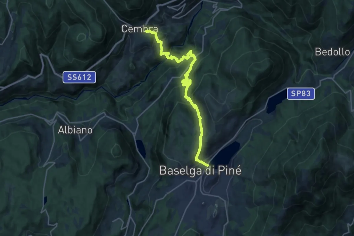
Demanding · Trail
Sentiero Cembra - Pinè
17.2 km · ↑ 1143 m · 6 h 32 min · 13 km away
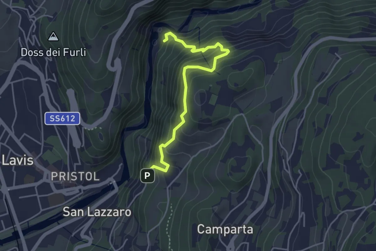
Medium · Trail
Sentiero sinistra Avisio
3.9 km · ↑ 420 m · 1 h 50 min · 13 km away
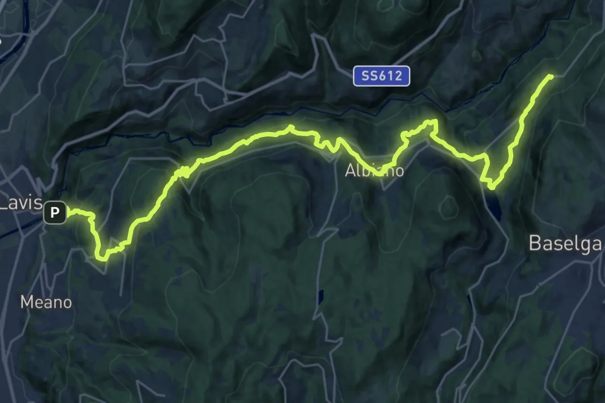
Demanding · Trail
Cammino delle terre sospese - Tappa 6
16.3 km · ↑ 989 m · 5 h 59 min · 13 km away
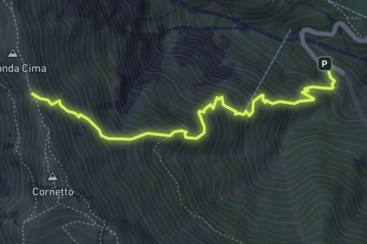
Demanding · Trail
Senter del Pralongo
5.3 km · ↑ 862 m · 3 h 8 min · 13 km away
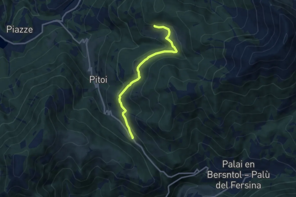
Medium · Trail
Passo del Redebus (bivio 404) – Malga Stramaiolo bassa (bivio 443)
7.6 km · ↑ 246 m · 2 h 20 min · 13 km away
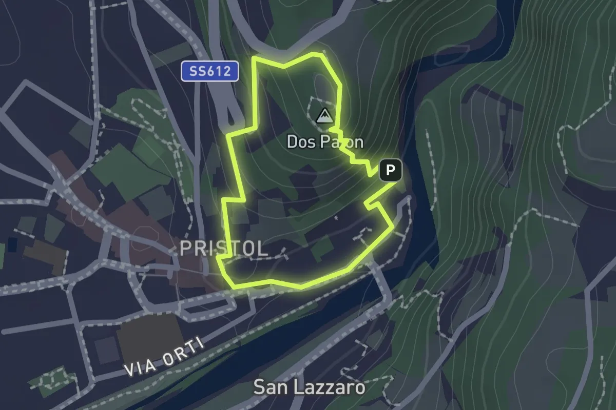
Medium · Summit
Giro del Dos Paion
1.4 km · ↑ 85 m · 32 min · 13 km away
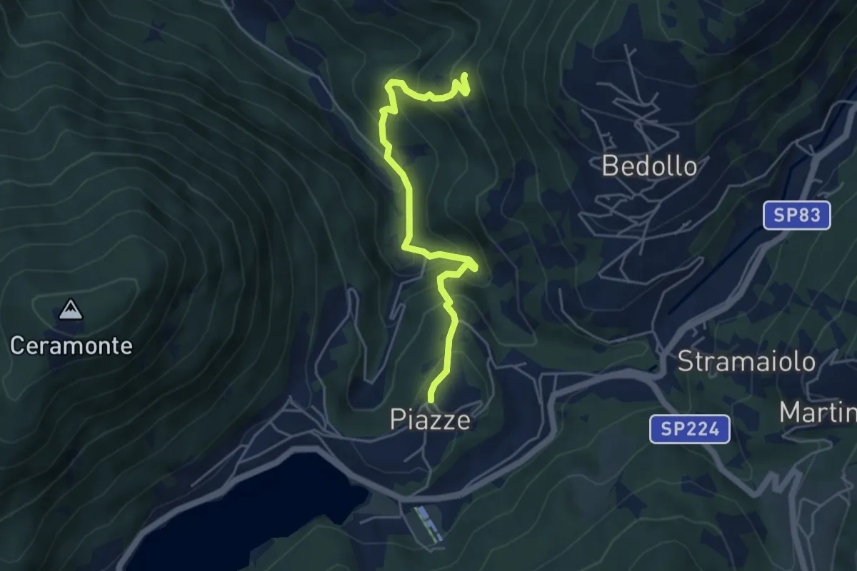
Medium · Trail
Presso il Mas dei Saili (bivio 406B) – Piazze
4.6 km · ↑ 447 m · 2 h 3 min · 13 km away
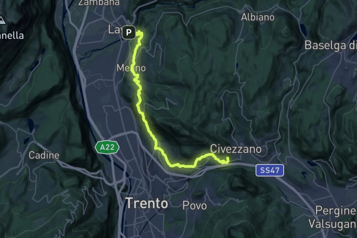
Demanding · Summit
Cammino del beato Enrico - Tappa 4
25.4 km · ↑ 1004 m · 8 h 11 min · 13 km away
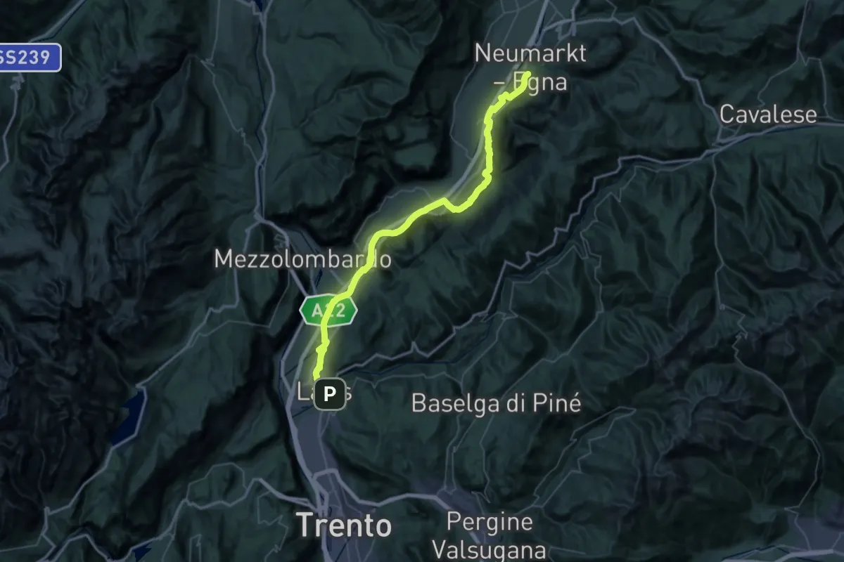
Demanding · Trail
Cammino del beato Enrico - Tappa 3
29.6 km · ↑ 212 m · 7 h 53 min · 13 km away
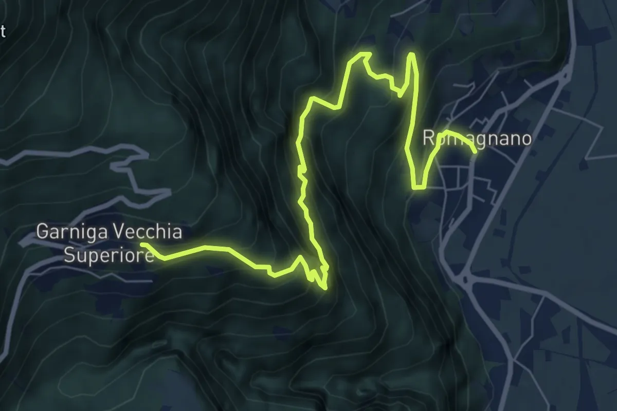
Demanding · Trail
Sentiero del Guardadocio
8.5 km · ↑ 844 m · 3 h 50 min · 13 km away
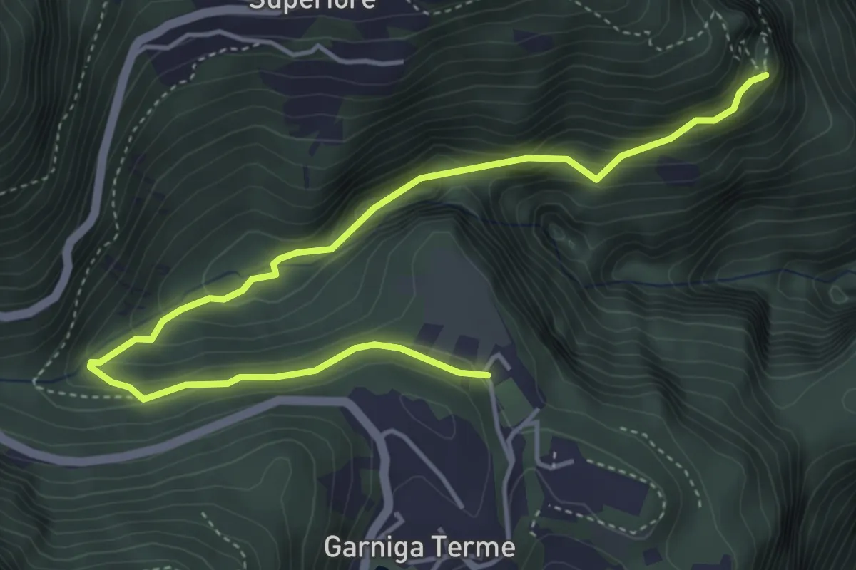
Medium · Trail
Sentiero dei Molini
5.4 km · ↑ 360 m · 2 h 3 min · 13 km away
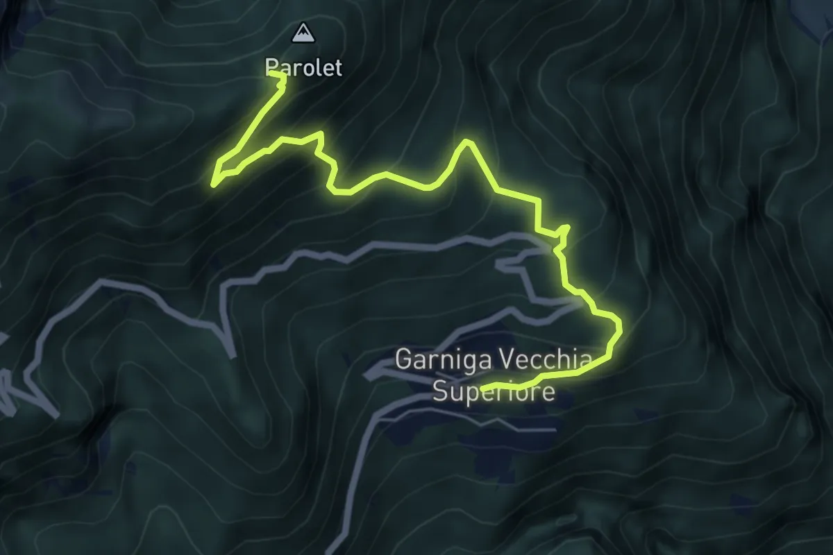
Medium · Trail
Garniga Vecchia – Sella del Monte Parolet (bivio 626 - 693)
6.3 km · ↑ 609 m · 2 h 49 min · 13 km away
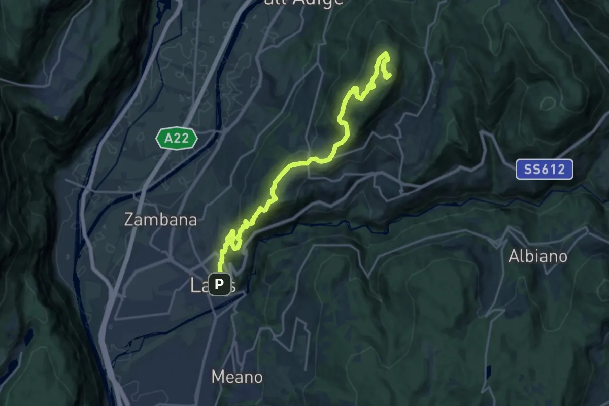
Demanding · Summit
Lavis - Via del Colli - parcheggio – Monte Corona - Dos Paion
17.7 km · ↑ 952 m · 6 h 15 min · 13 km away
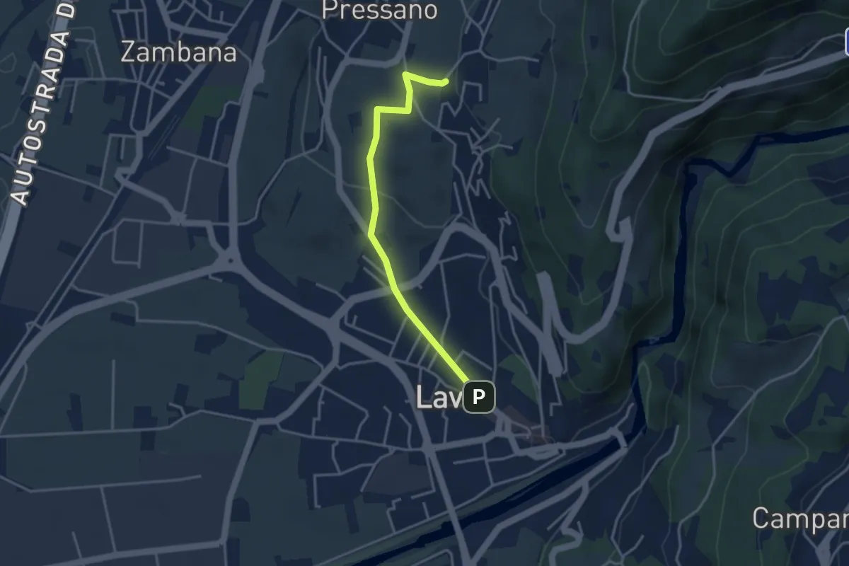
Easy · Trail
Itinerario 1 Colline Avisiane
3.3 km · ↑ 77 m · 56 min · 13 km away
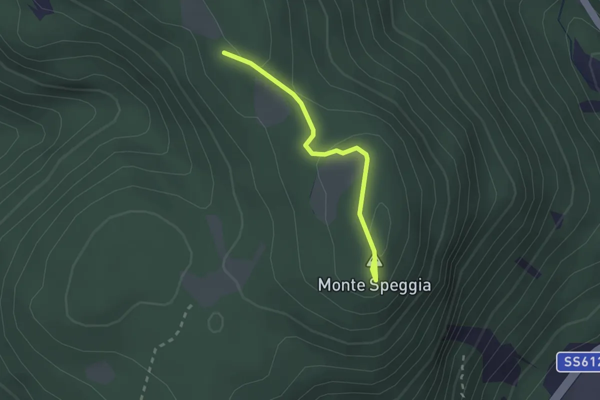
Easy · Summit
Sentiero del Piz dele Agole
1.8 km · ↑ 59 m · 34 min · 13 km away
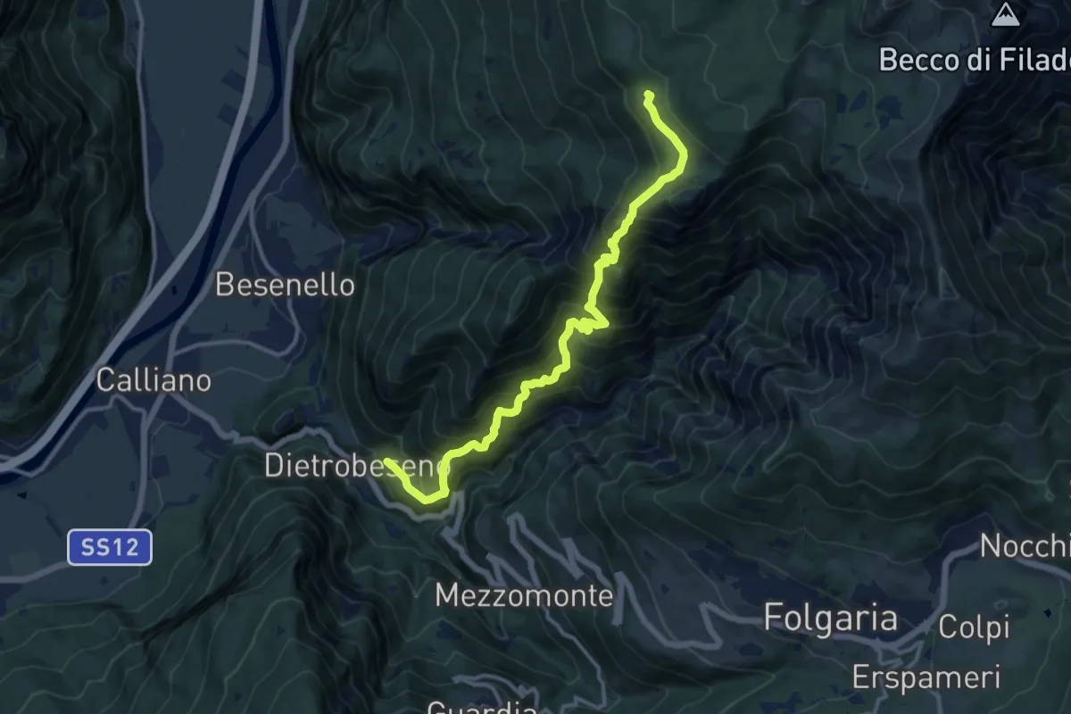
Demanding · Trail
Val di Gola
12.8 km · ↑ 1337 m · 5 h 55 min · 13 km away
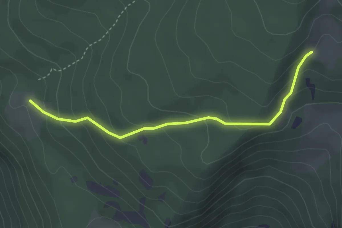
Easy · Trail
Malga Palazzo (bivio 431 - 446 - 448) – Pozza Arionda (bivio 453)
3.3 km · ↑ 213 m · 1 h 15 min · 13 km away
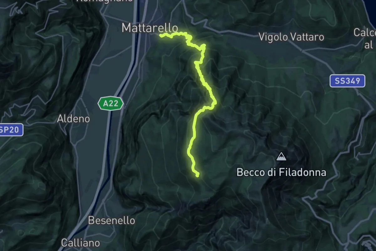
Medium · Trail
Pont dei Micoti - Mattarello – Malga Palazzo (bivio 431 - 448 - 452)
10.7 km · ↑ 247 m · 3 h 53 min · 13 km away
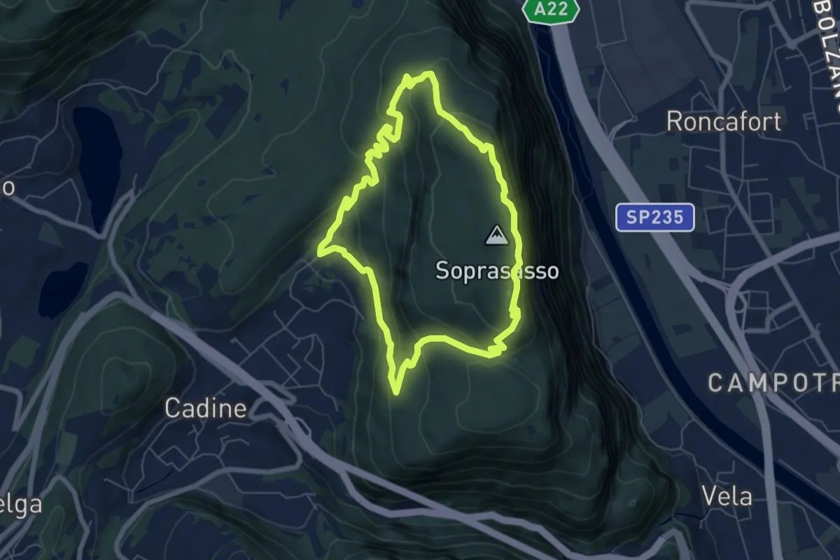
Medium · Summit
Giro del Sorasass
6.0 km · ↑ 398 m · 2 h 21 min · 13 km away
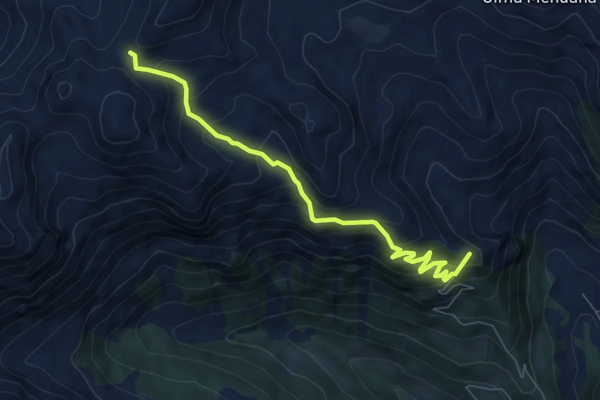
Medium · Summit
Stalon – Forcella delle Conelle - Sensattel (bivio 343)
6.9 km · ↑ 590 m · 2 h 54 min · 14 km away