Trails near Pergine Valsugana
169 hikes starting within 15 km, nearest first.
Nearest first, page 4 of 4
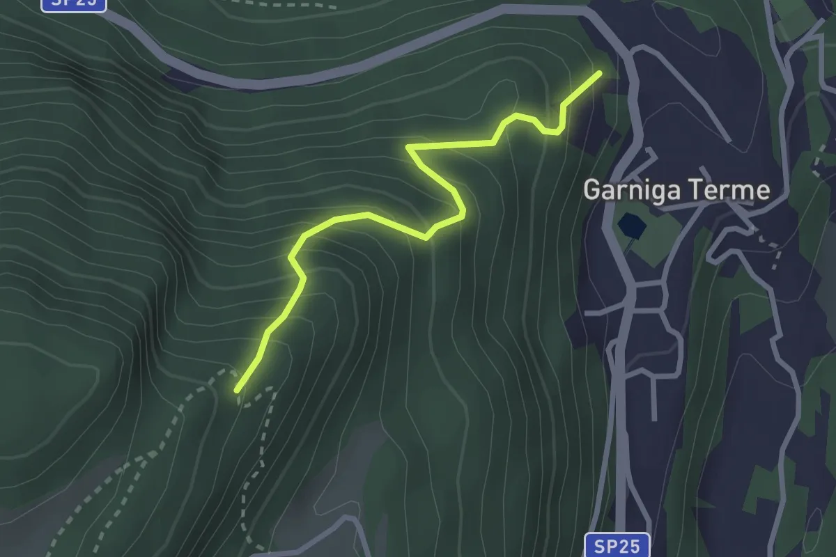
Medium · Trail
Sentiero Malga Albi
2.5 km · ↑ 338 m · 1 h 19 min · 14 km away
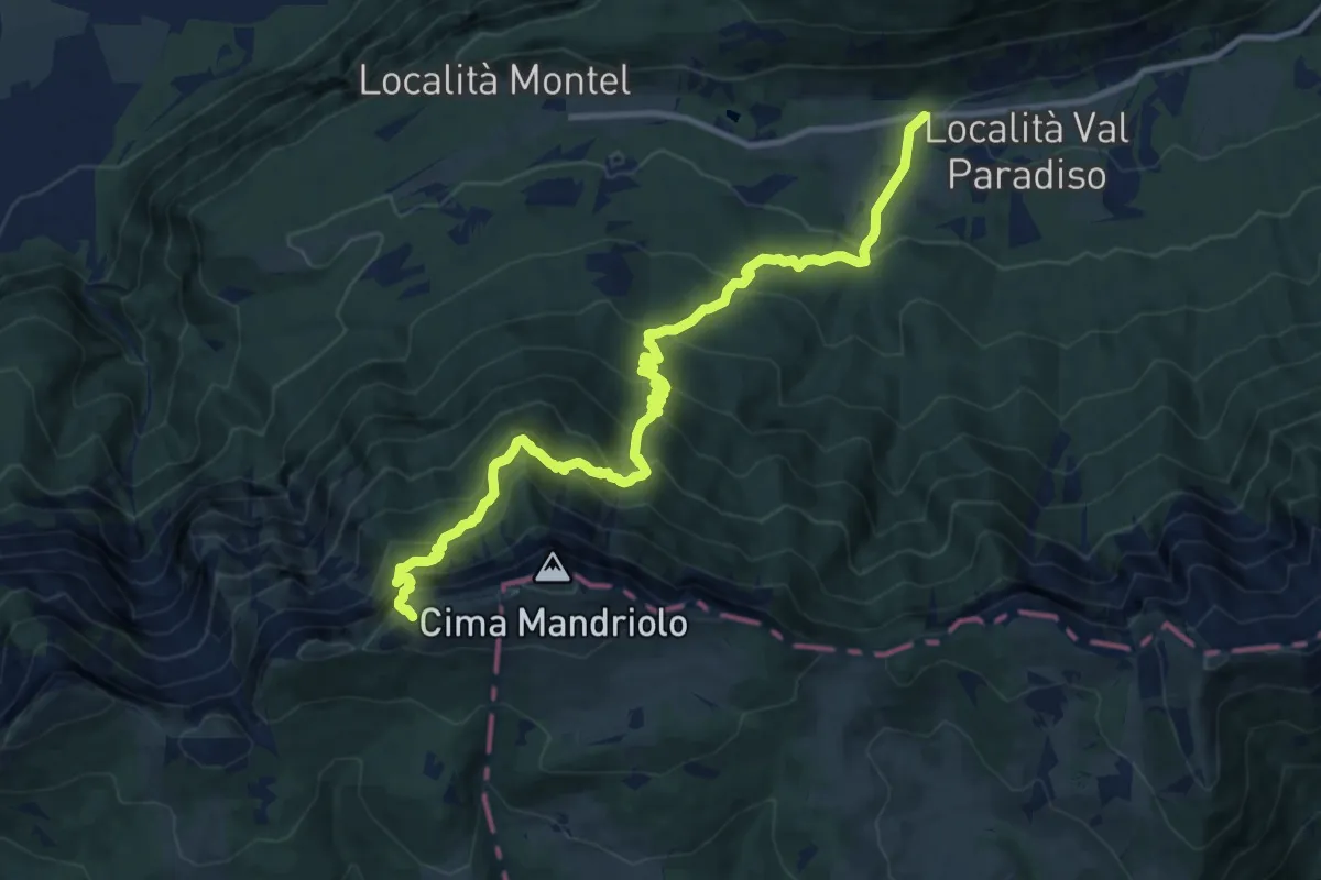
Expert · Trail
Via ferrata "Giuseppe Hippoliti"
12.4 km · ↑ 1120 m · 5 h 21 min · 14 km away
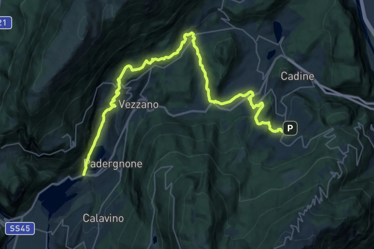
Medium · Trail
Sentiero San Vili basso - Tappa 2
14.2 km · ↑ 379 m · 4 h 33 min · 14 km away
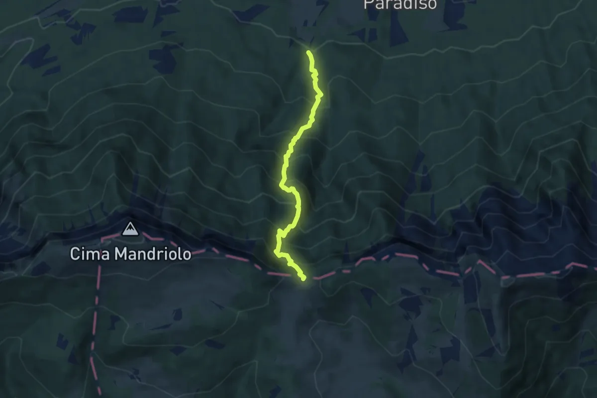
Demanding · Trail
Troso di Manazzo
5.9 km · ↑ 808 m · 3 h 8 min · 14 km away
Demanding · Summit
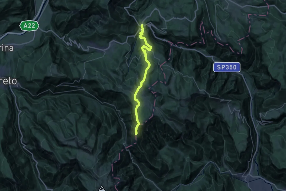
Carbonare – Passo della Borcola (bivio 147)
28.8 km · ↑ 1189 m · 9 h 22 min · 14 km away
Medium · Summit
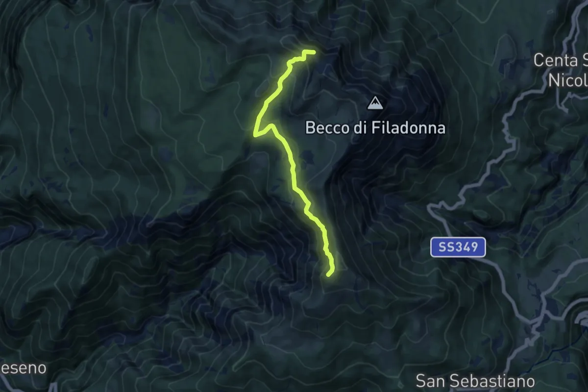
Senter del Bus del Giaz
9.5 km · ↑ 600 m · 3 h 33 min · 14 km away
Medium · Cabin
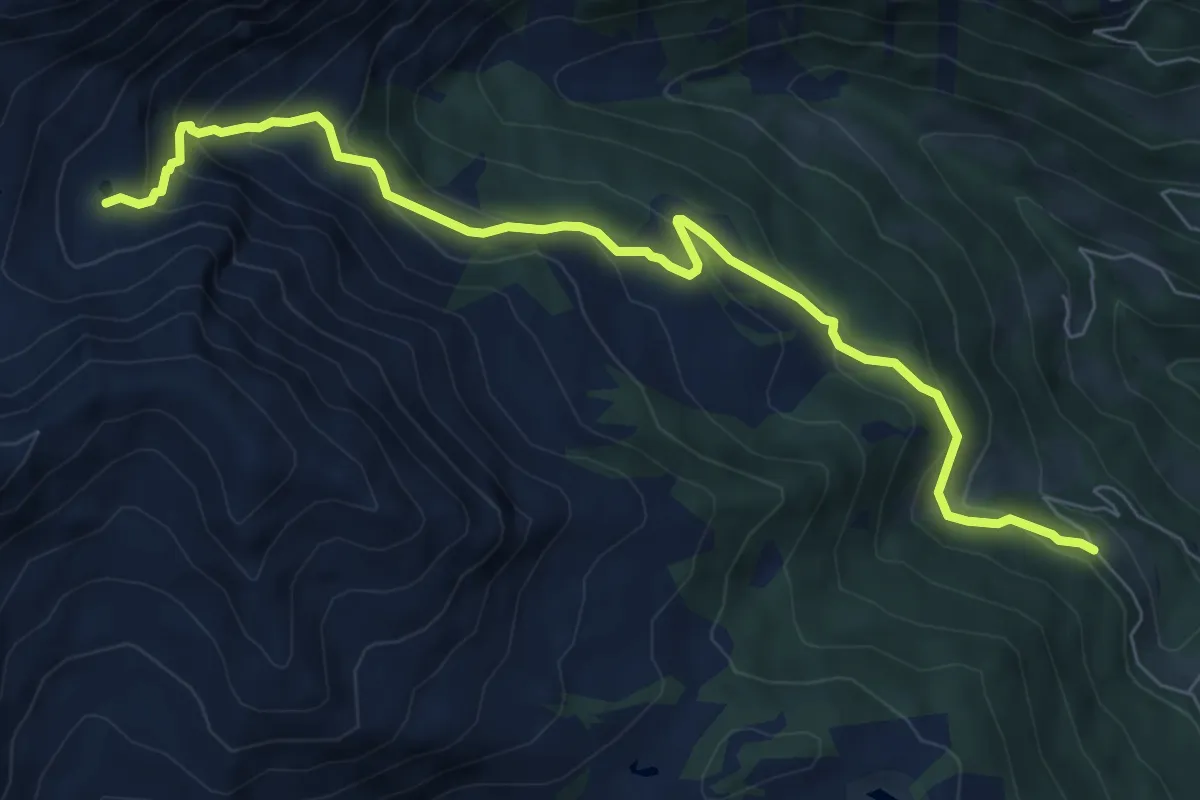
Località Samona – Sette Laghi
8.1 km · ↑ 493 m · 2 h 59 min · 14 km away
Medium · Summit
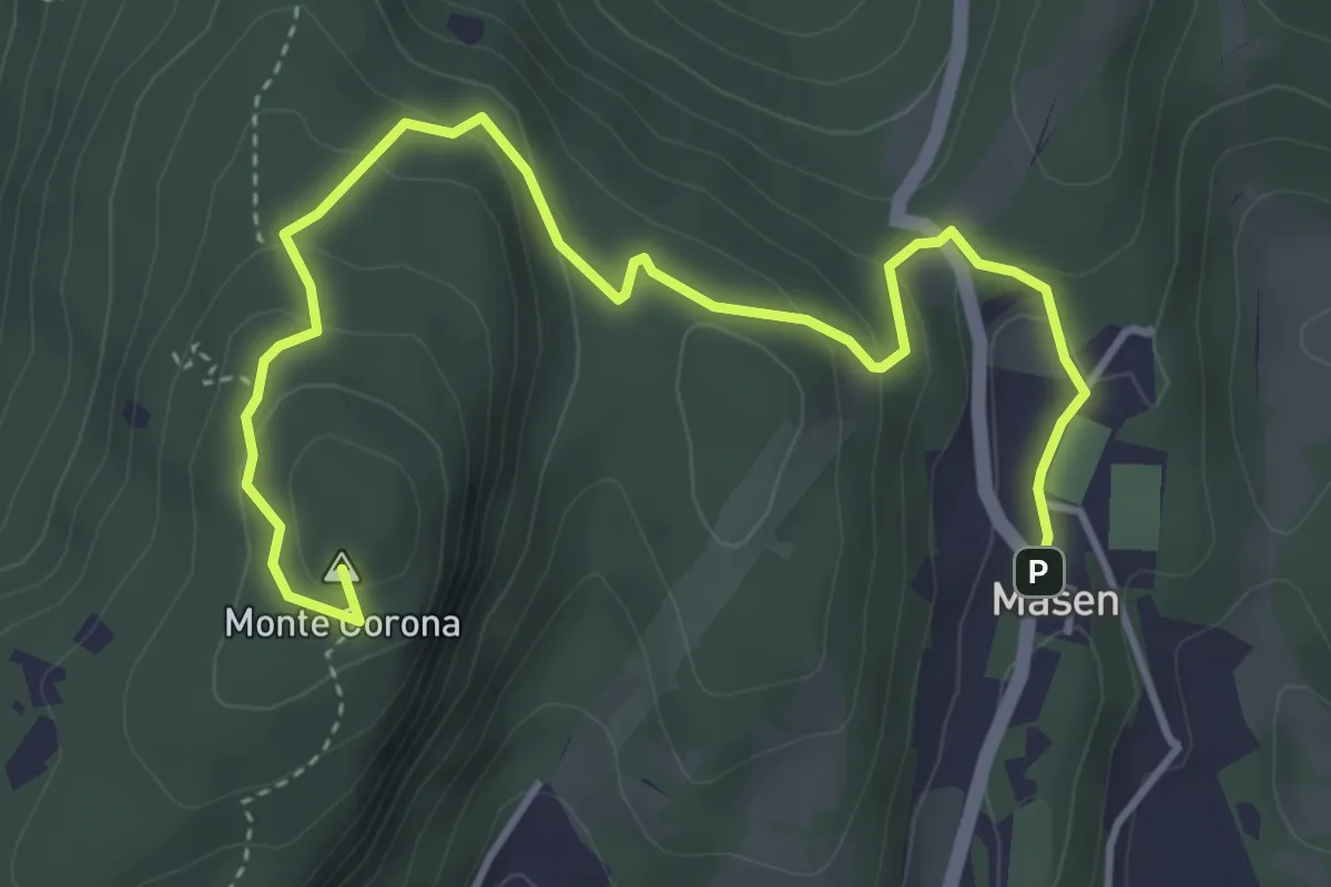
Masen – Monte Corona - Dos Paion
5.0 km · ↑ 237 m · 1 h 42 min · 14 km away
Medium · Summit
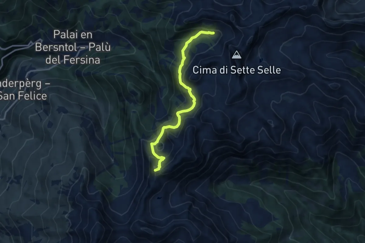
TransLagorai - Tappa 1 variante Erdemolo
9.3 km · ↑ 710 m · 3 h 44 min · 14 km away
Medium · Summit
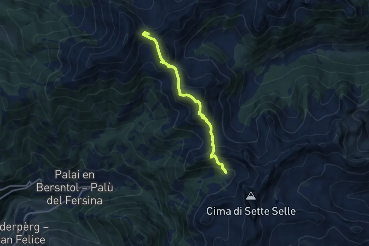
Rifugio Sprugio "Giovanni Tonini" (bivio 443 - 468) – Rifugio Sette Selle (bivio 343)
8.3 km · ↑ 726 m · 3 h 32 min · 14 km away
Medium · Summit
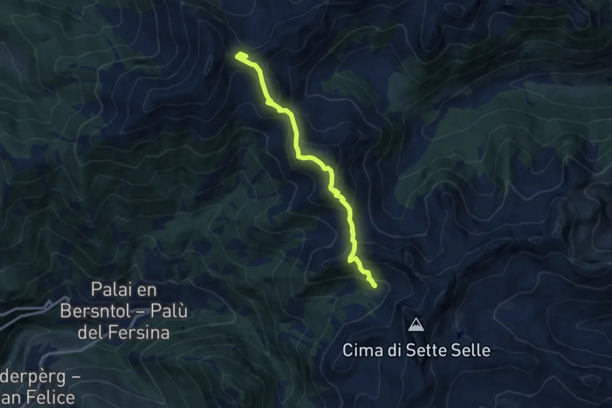
Alta Via del Porfido - Tappa 2
8.3 km · ↑ 726 m · 3 h 32 min · 14 km away
Expert · Summit
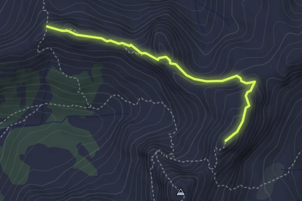
Sentiero del centenario "Delio Pace"
3.4 km · ↑ 274 m · 1 h 24 min · 14 km away
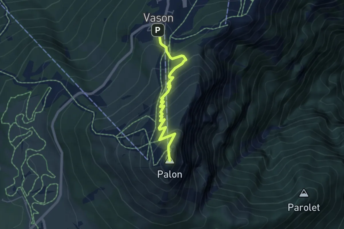
Medium · Summit
Sentiero dei Mughi
4.6 km · ↑ 431 m · 2 h 1 min · 14 km away
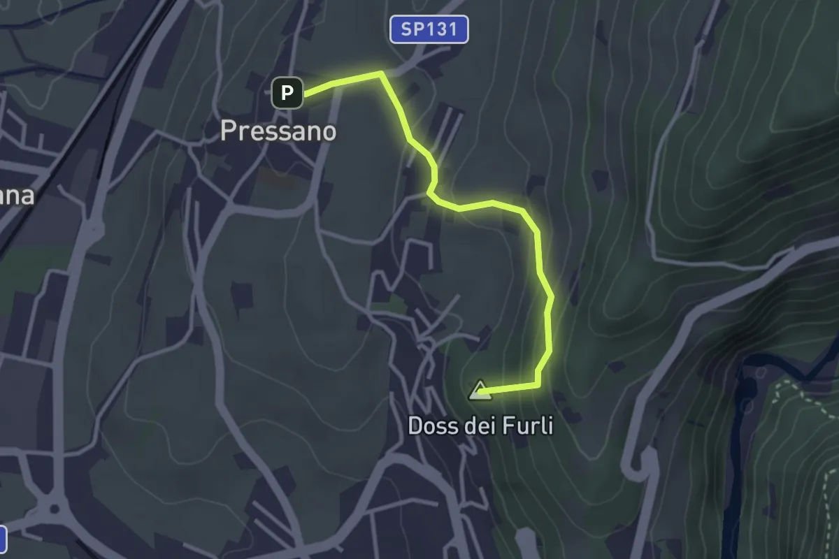
Easy · Summit
Dos Paion – Pressano
2.9 km · ↑ 169 m · 1 h 3 min · 15 km away
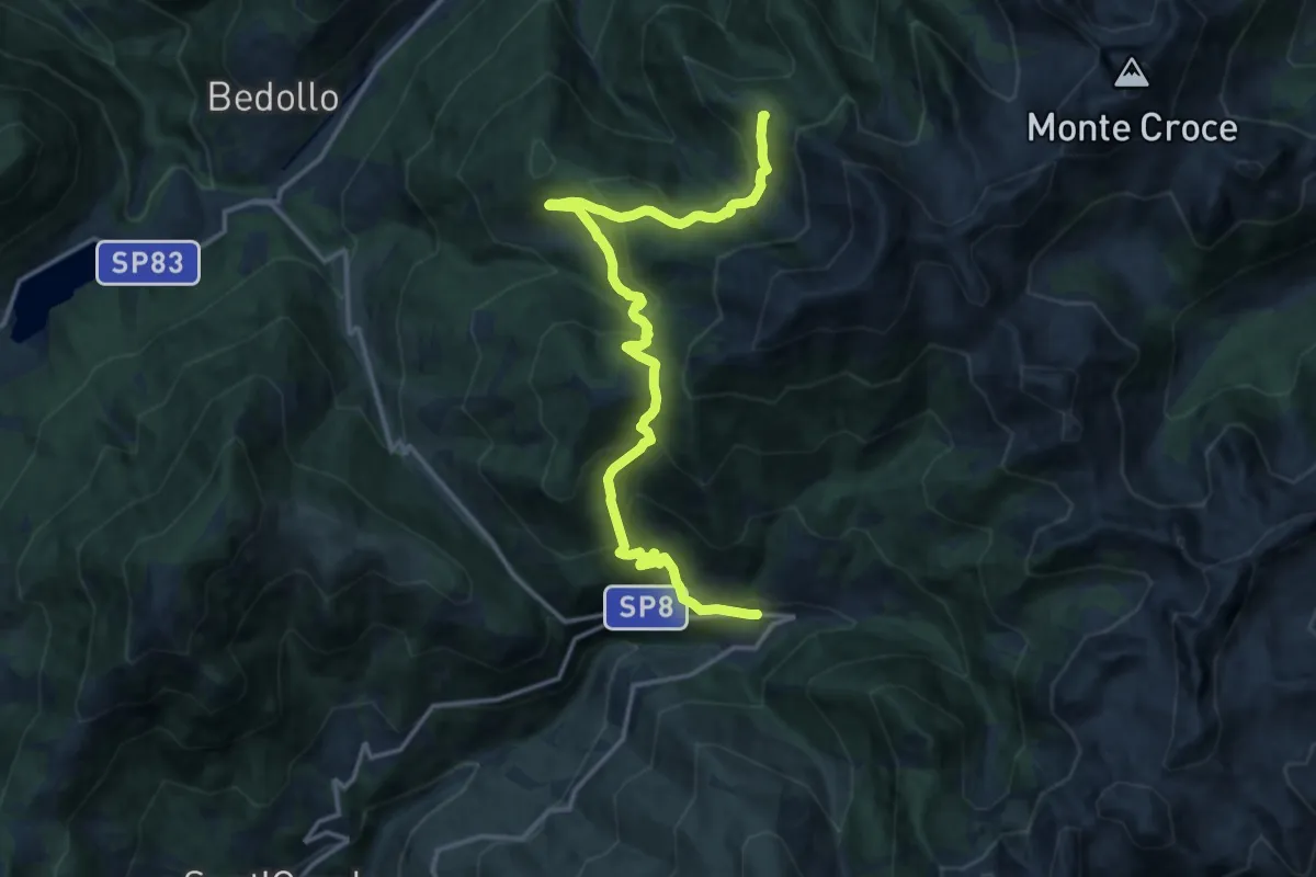
Demanding · Trail
Alta Via del Porfido - Tappa 1
16.5 km · ↑ 1124 m · 6 h 20 min · 15 km away
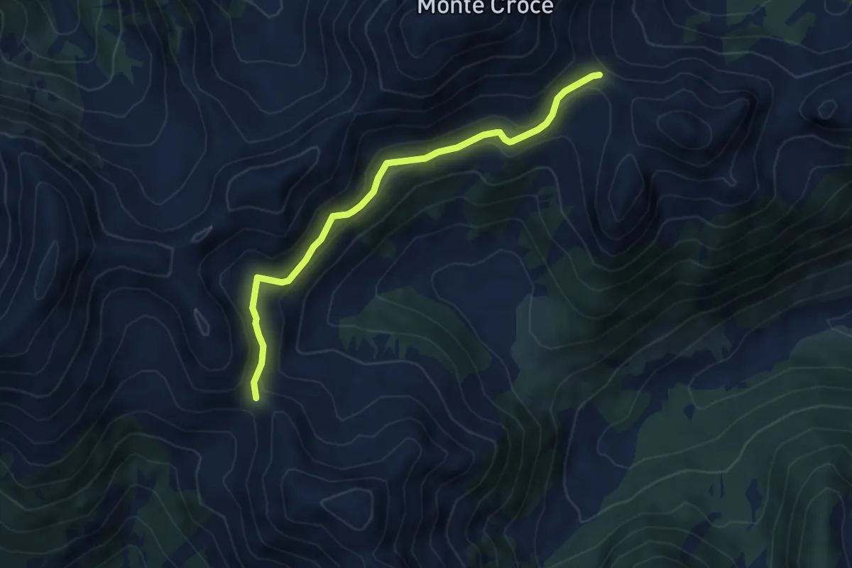
Medium · Trail
Passo Cagnón di Sopra (bivio 314) – Passo Cadin o di Fiemme (bivio 310 - 314)
5.3 km · ↑ 218 m · 1 h 44 min · 15 km away
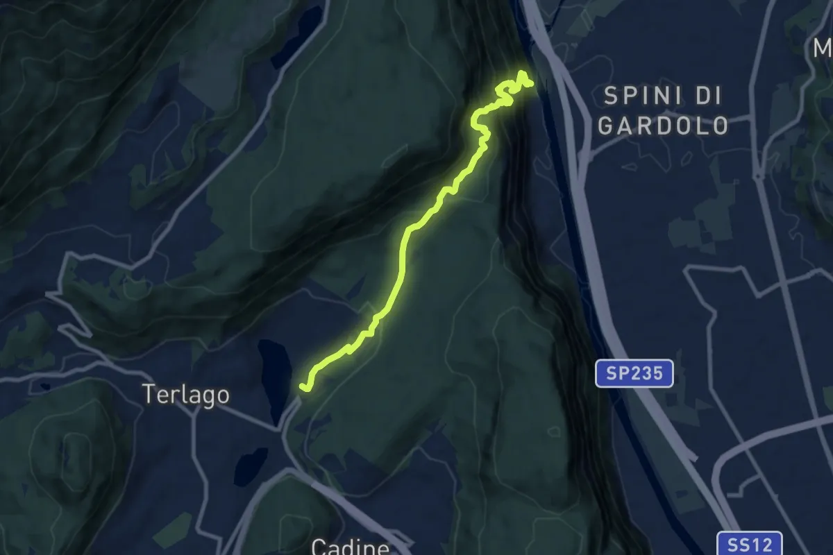
Demanding · Trail
Ischia Podetti - presso discarica – Albergo Lilla
8.6 km · ↑ 902 m · 3 h 59 min · 15 km away
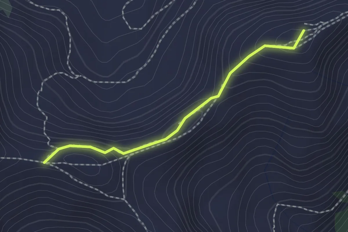
Medium · Summit
Passo Scalet (bivio 407 - 460) – Passo di Val Mattio (bivio 340)
1.7 km · ↑ 71 m · 34 min · 15 km away
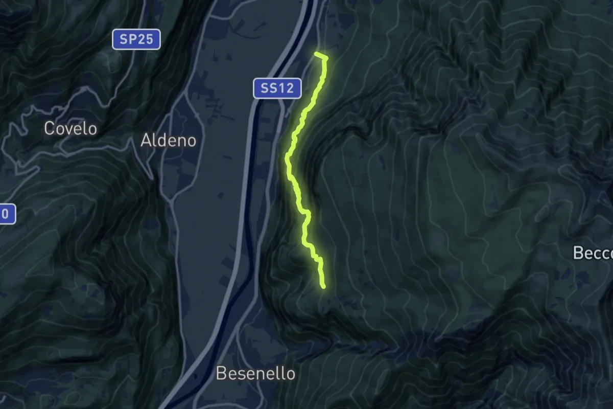
Demanding · Trail
Sentiero dell'Imperatore
9.7 km · ↑ 814 m · 4 h 4 min · 15 km away
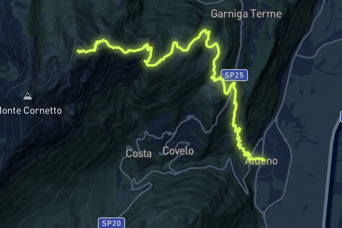
Demanding · Summit
Via ferrata dei Sparavèi
18.6 km · ↑ 1945 m · 8 h 37 min · 15 km away
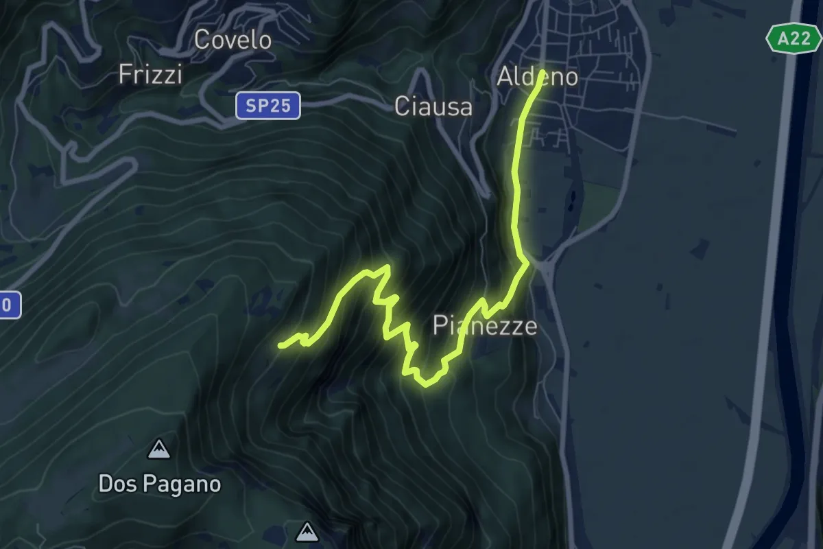
Demanding · Cabin
Sentiero di Valstornada
8.3 km · ↑ 852 m · 3 h 49 min · 15 km away
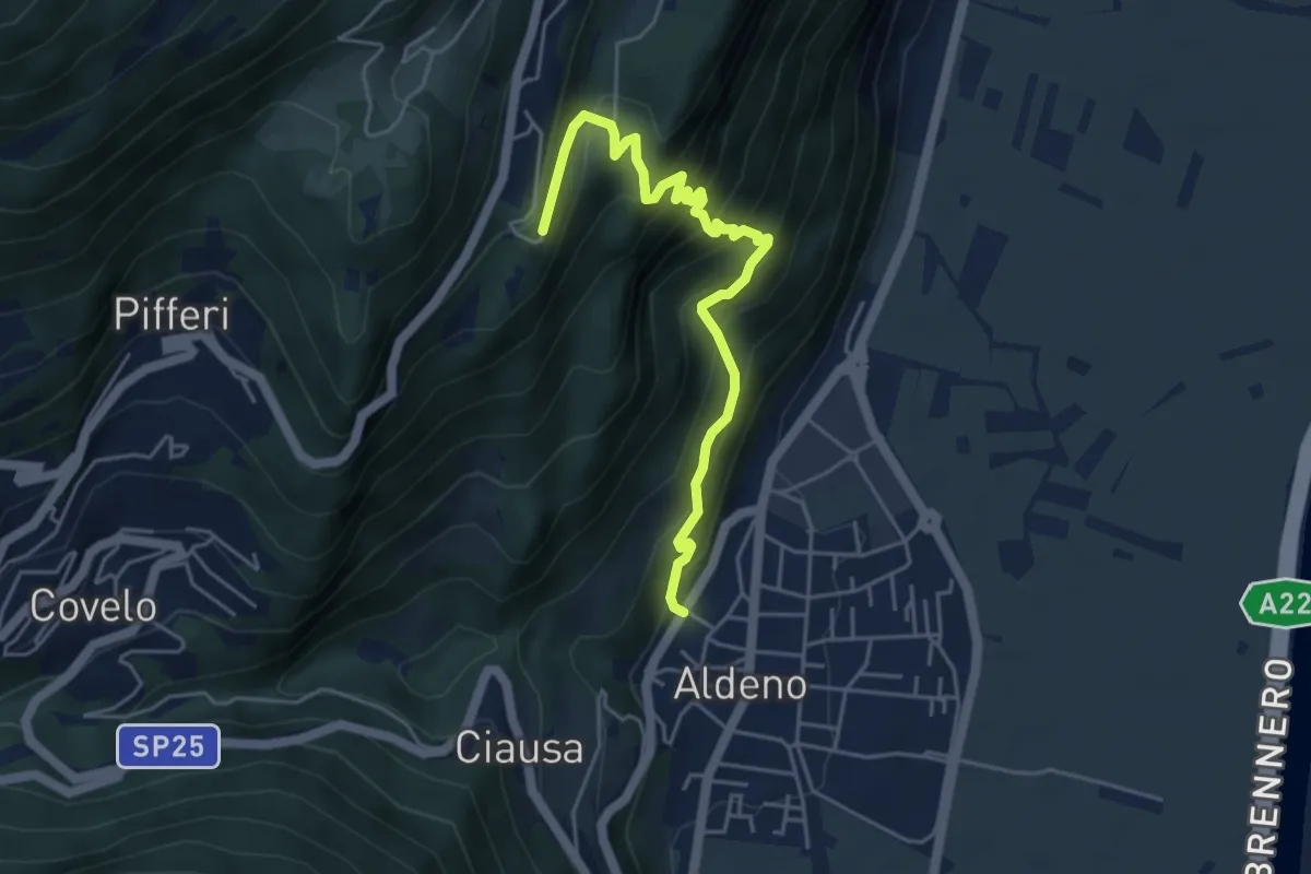
Demanding · Trail
Sentiero del Perch
5.0 km · ↑ 542 m · 2 h 21 min · 15 km away
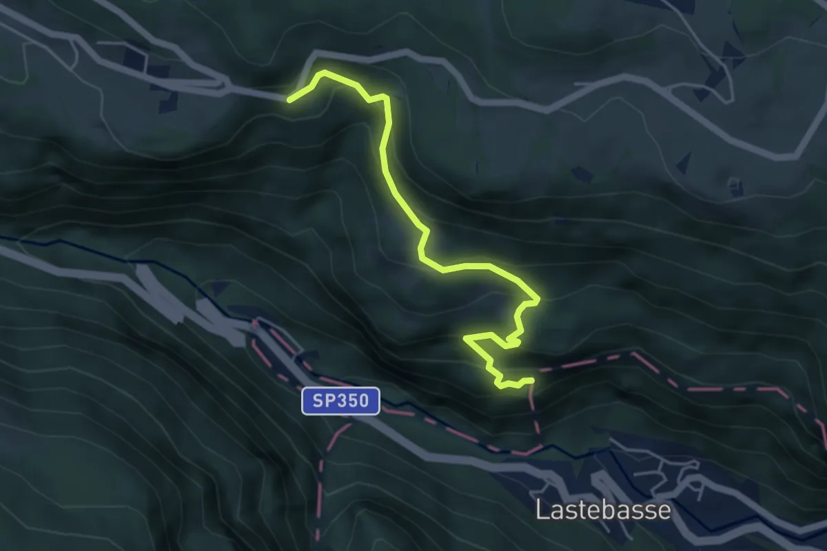
Medium · Trail
Via dell'Ancino, sentiero dell'Ancino o del Lanzino
4.5 km · ↑ 360 m · 1 h 50 min · 15 km away
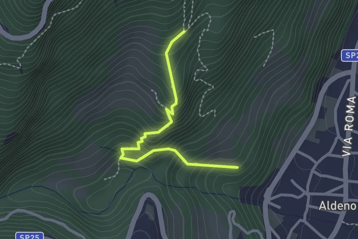
Medium · Trail
Sentiero Postal
2.1 km · ↑ 238 m · 1 h 1 min · 15 km away
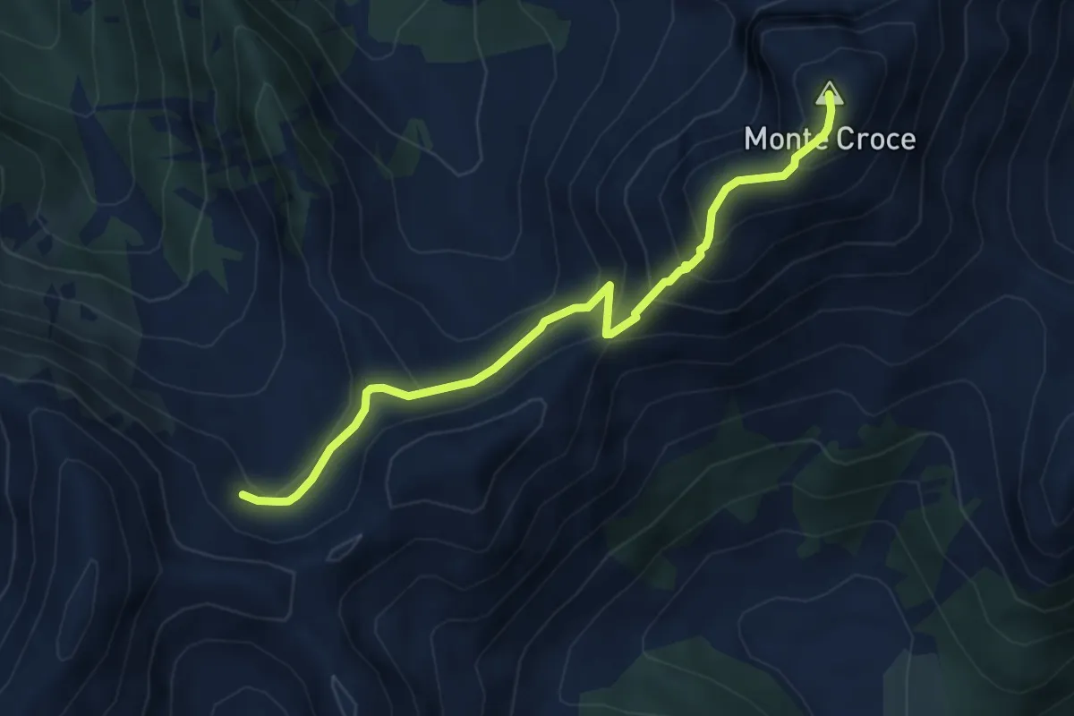
Medium · Summit
Busona di Val Mattio (bivio 340) – Monte Croce
4.8 km · ↑ 358 m · 1 h 55 min · 15 km away