Trails near Pescia
73 hikes starting within 15 km, nearest first.
Nearest first, page 1 of 2
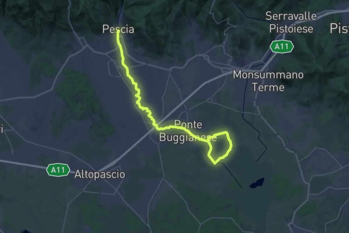
Demanding · Trail
Valle del Pescia - Il trekking lungo il fiume
18.0 km · ↑ 0 m · 4 h 32 min · under 1 km away
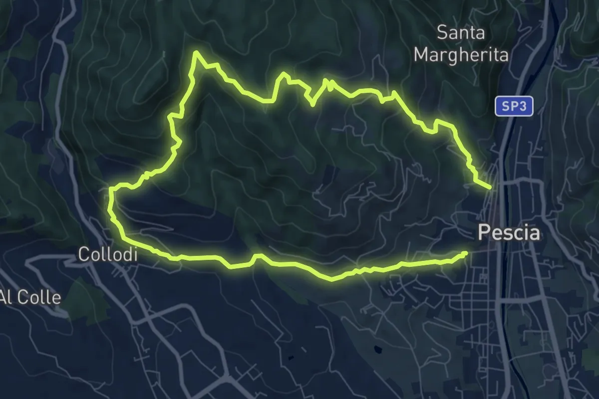
Medium · Trail
Pescia – Pescia
8.1 km · ↑ 446 m · 3 h · under 1 km away
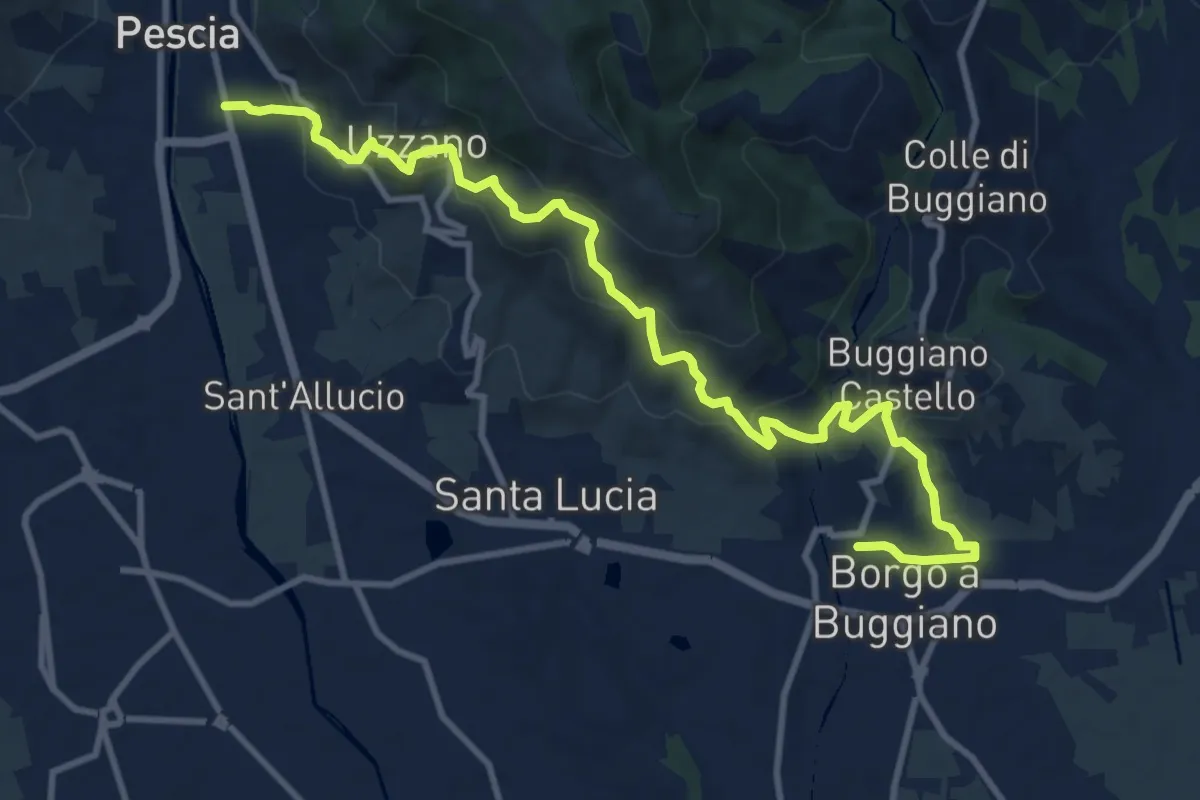
Medium · Trail
Pescia – Borgo a Buggiano
12.6 km · ↑ 693 m · 4 h 29 min · under 1 km away
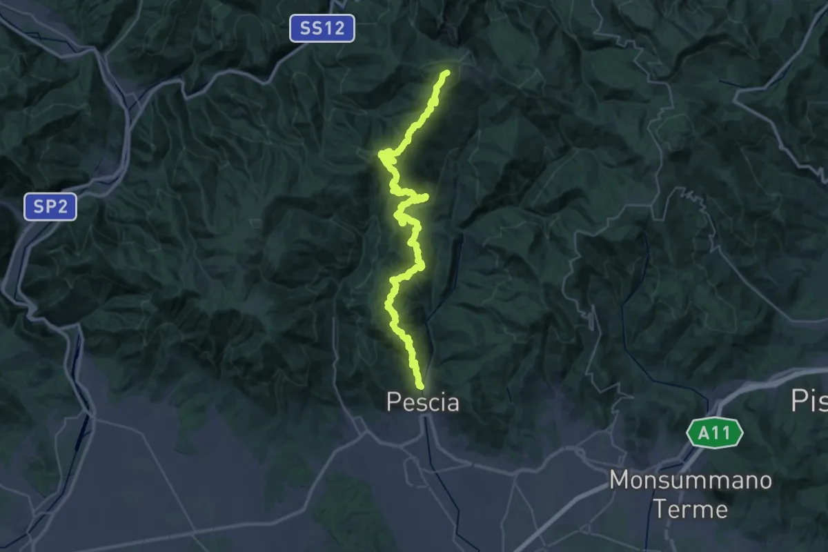
Demanding · Summit
Pescia – Popiglio
43.9 km · ↑ 2381 m · 15 h 31 min · 1 km away
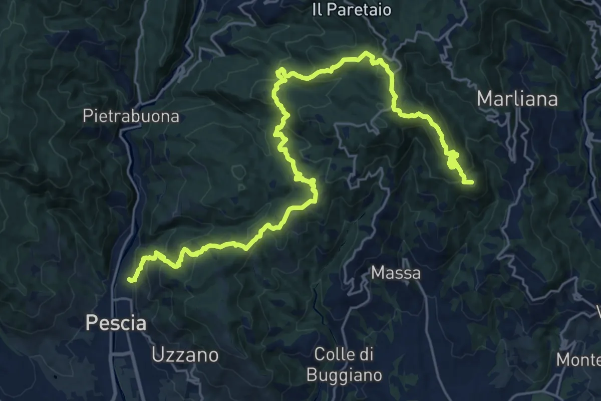
Demanding · Summit
Alta Via della Valdinievole
26.0 km · ↑ 1285 m · 8 h 56 min · 1 km away
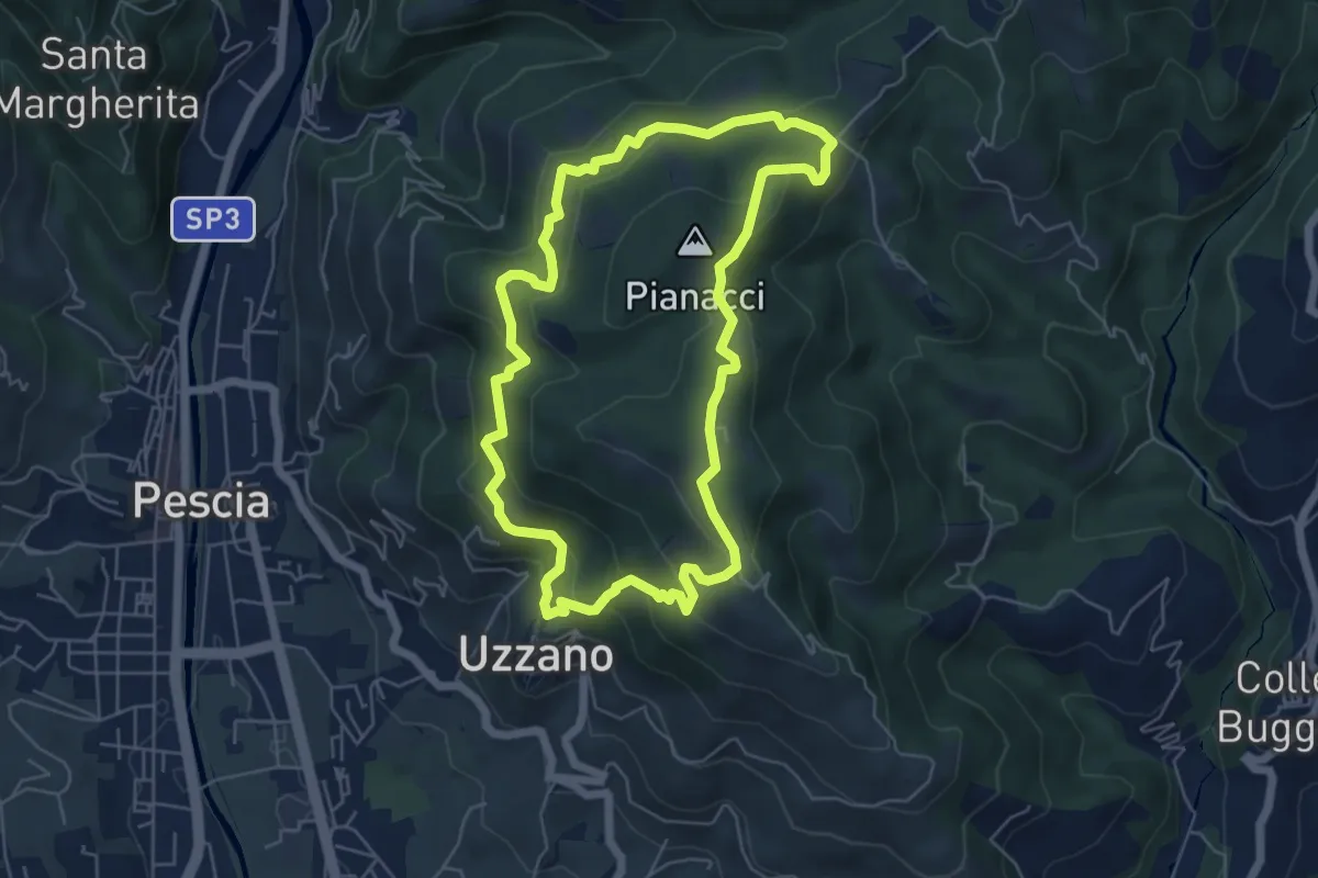
Easy · Summit
Uzzano Castello – Uzzano Castello
5.9 km · ↑ 317 m · 2 h 9 min · 2 km away
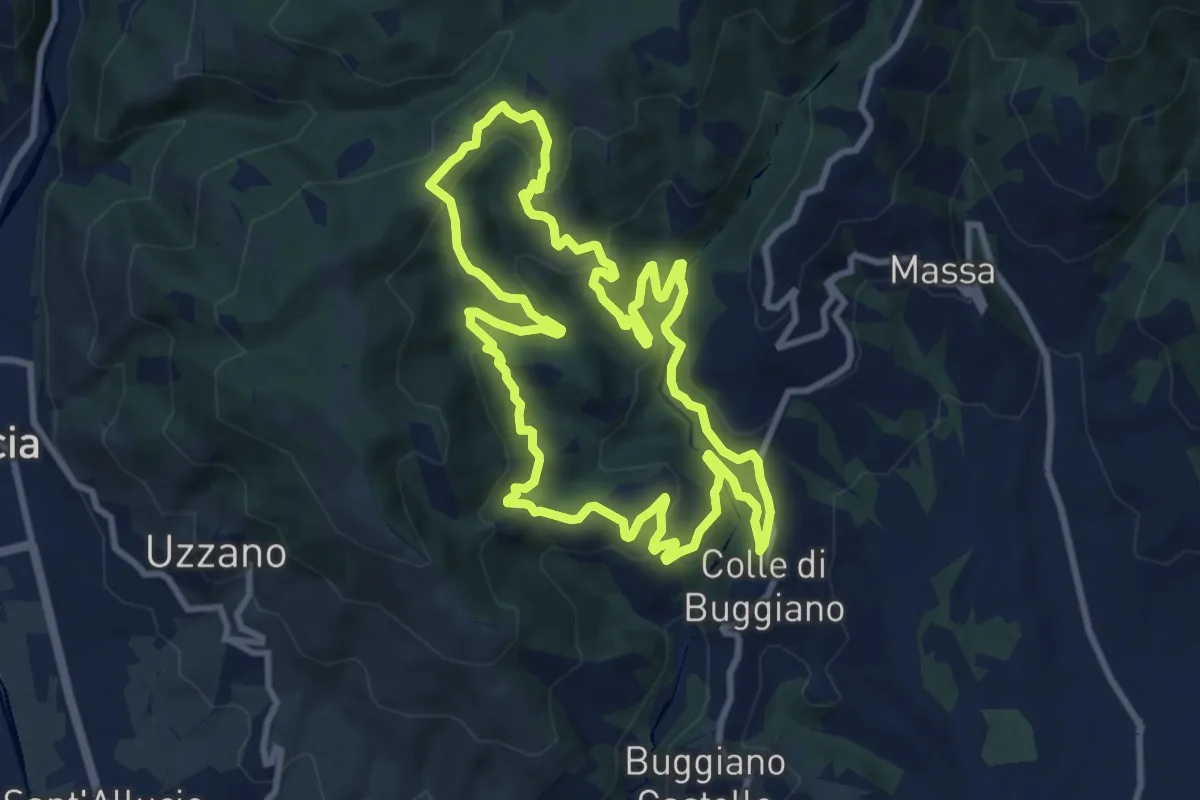
Medium · Trail
Sentiero 4 "Colle e dintorni"
10.2 km · ↑ 468 m · 3 h 34 min · 2 km away
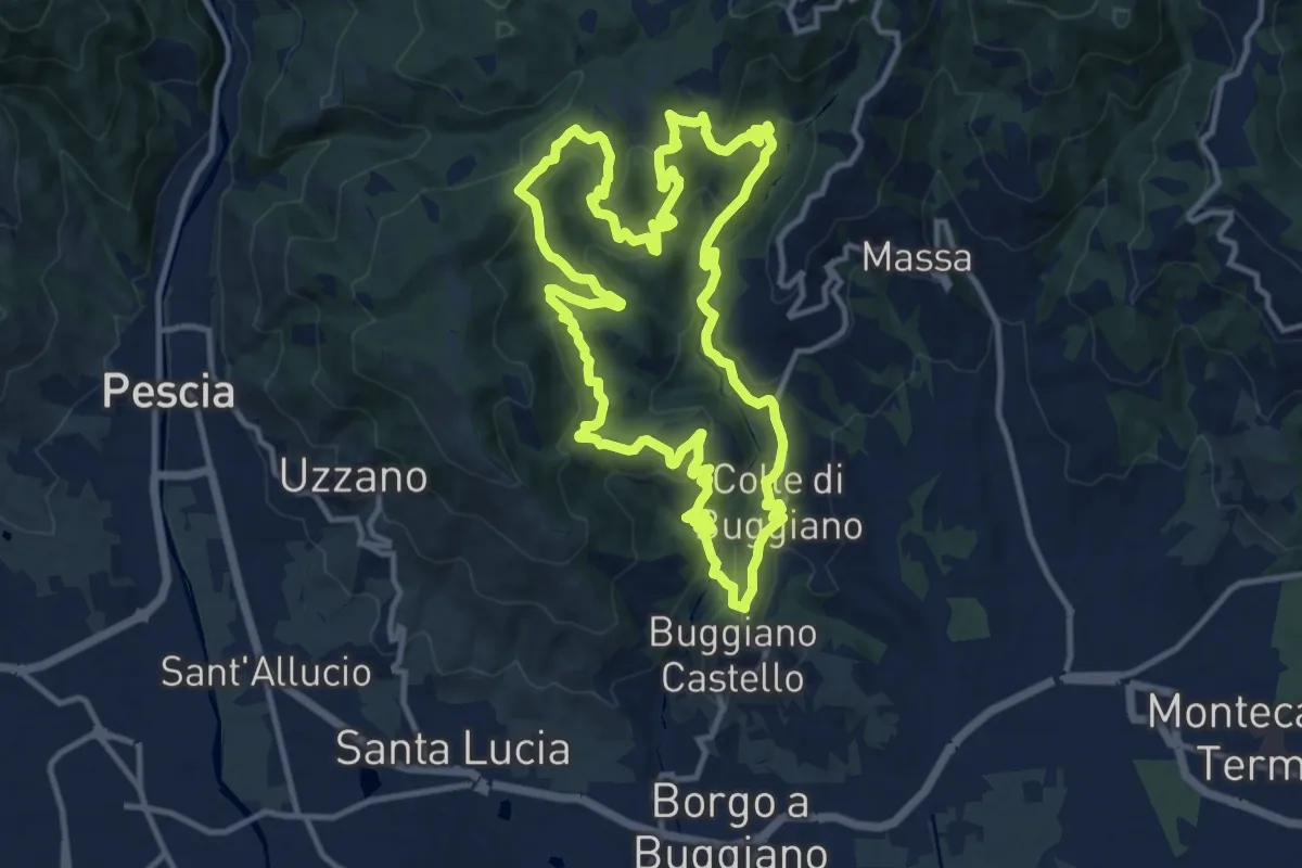
Medium · Trail
Sentiero 7 "Colle e dintorni"
13.4 km · ↑ 675 m · 4 h 49 min · 2 km away
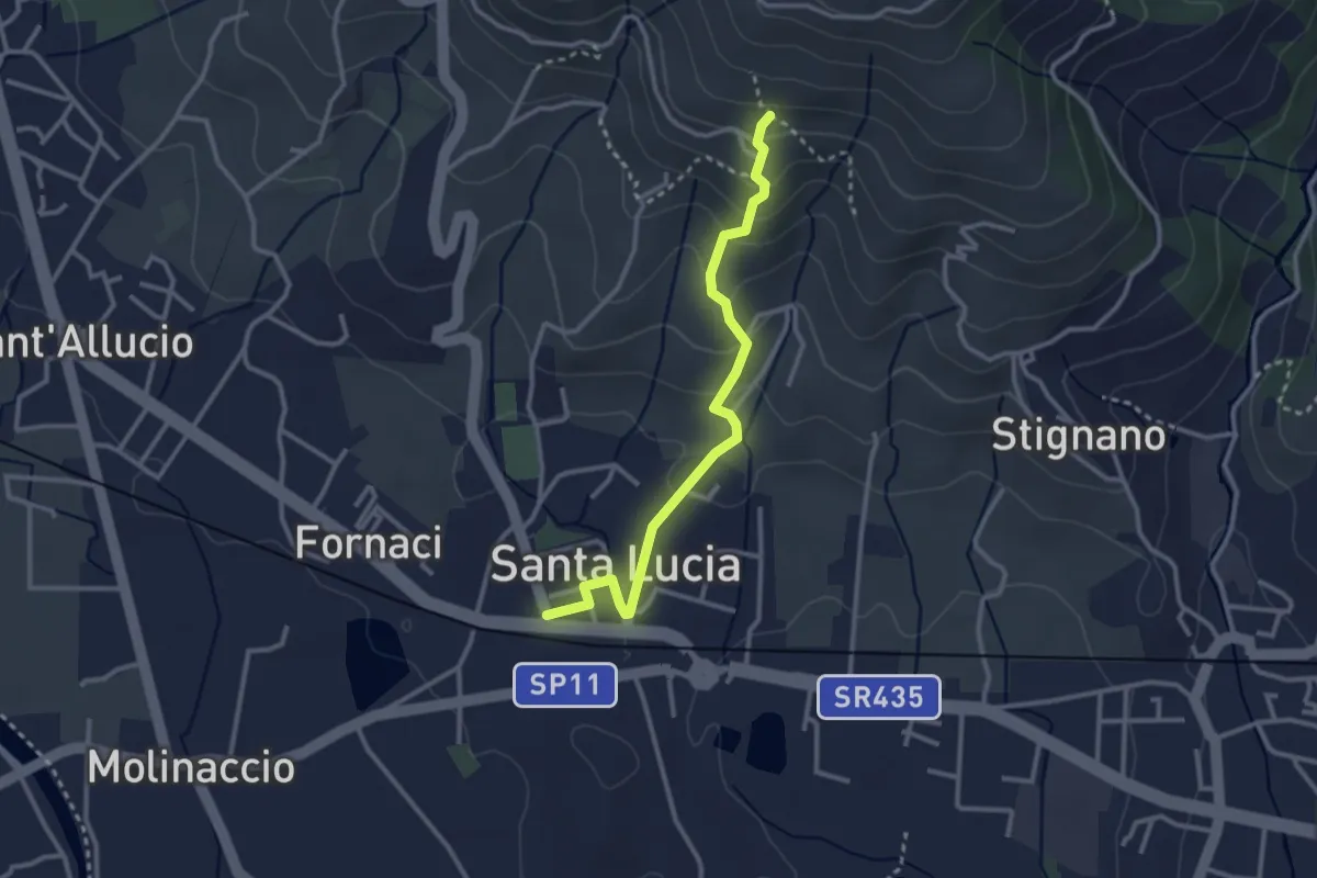
Easy · Trail
Santa Lucia – La Costa
3.0 km · ↑ 169 m · 1 h 5 min · 3 km away
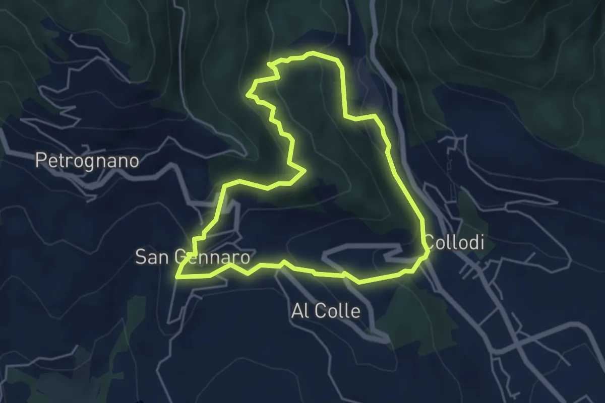
Easy · Trail
Sentiero n.17 "La Pescia"
4.4 km · ↑ 239 m · 1 h 37 min · 3 km away
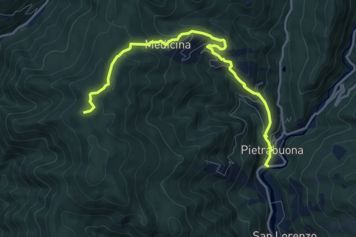
Medium · Summit
Pietrabuona – Sant'Anna
9.3 km · ↑ 579 m · 3 h 27 min · 3 km away
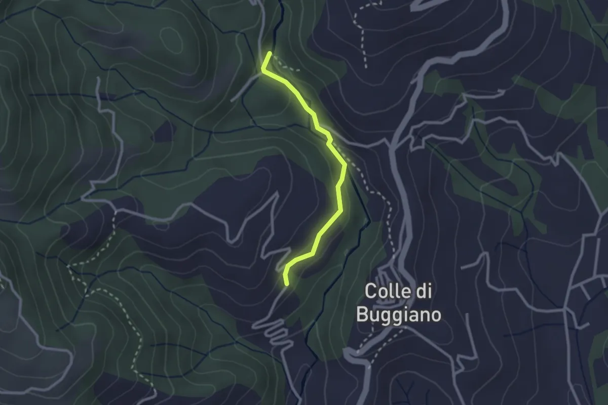
Easy · Trail
Sentiero dei Mulini
2.2 km · ↑ 51 m · 38 min · 3 km away
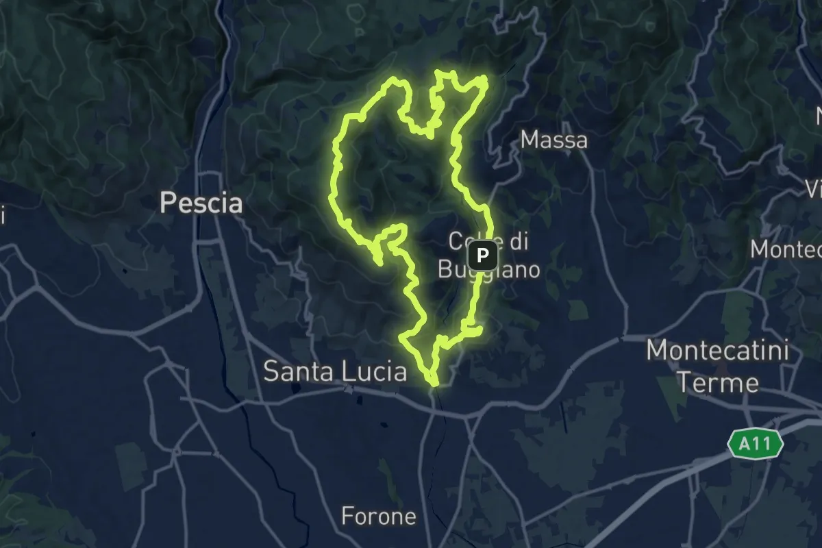
Demanding · Summit
Sentiero 8 "Colle e dintorni"
16.5 km · ↑ 807 m · 5 h 52 min · 4 km away
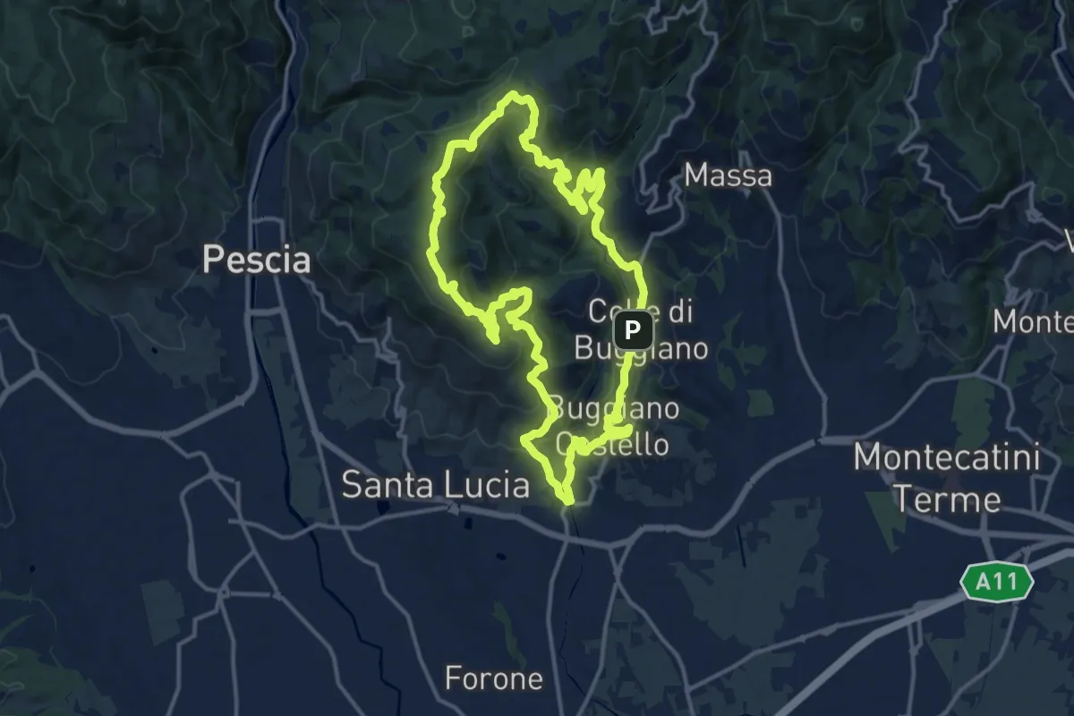
Medium · Summit
Sentiero 5 "Colle e dintorni"
14.6 km · ↑ 659 m · 5 h 5 min · 4 km away
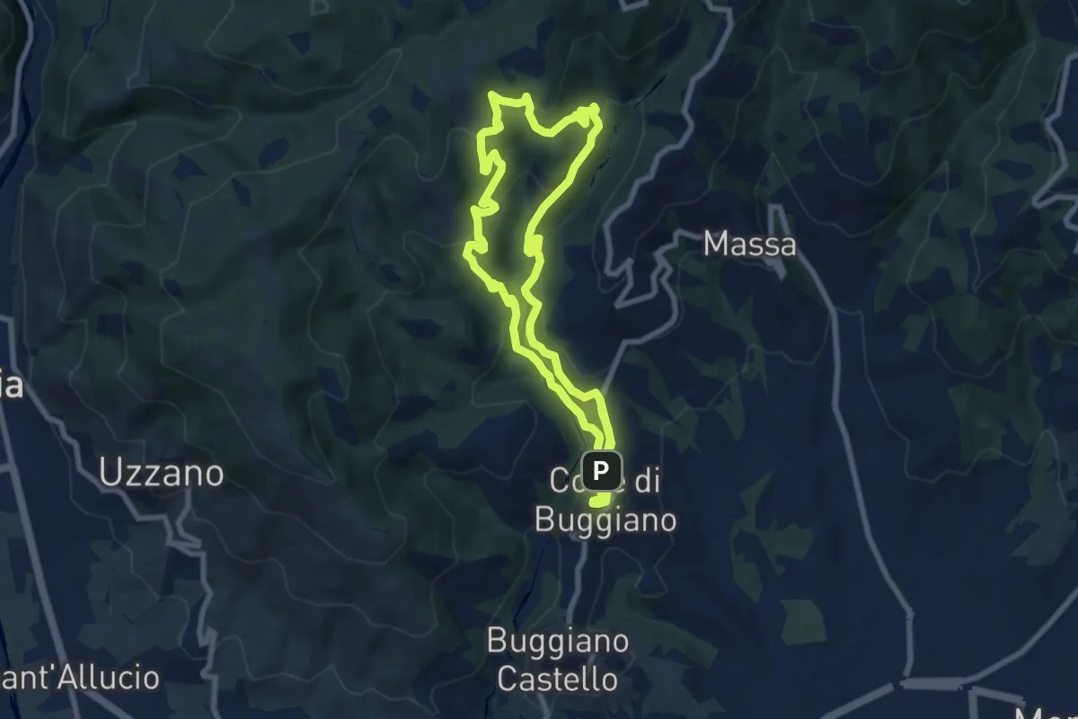
Medium · Trail
Sentiero 2 "Colle e dintorni"
7.9 km · ↑ 396 m · 2 h 50 min · 4 km away
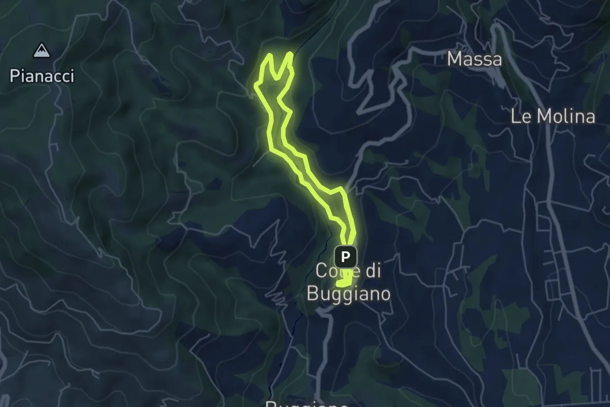
Easy · Trail
Sentiero 1 "Colle e dintorni"
4.6 km · ↑ 141 m · 1 h 27 min · 4 km away
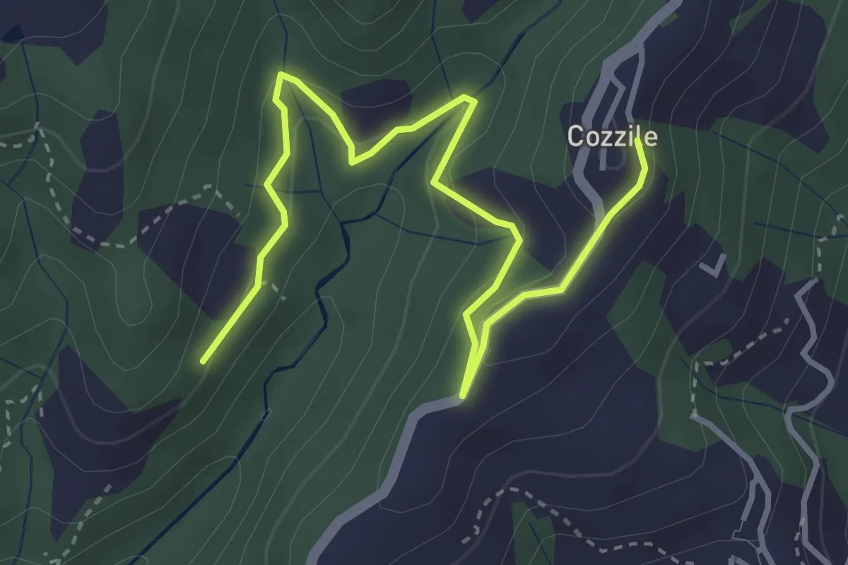
Easy · Trail
Sentiero 246 – Cozzile
4.3 km · ↑ 206 m · 1 h 28 min · 4 km away
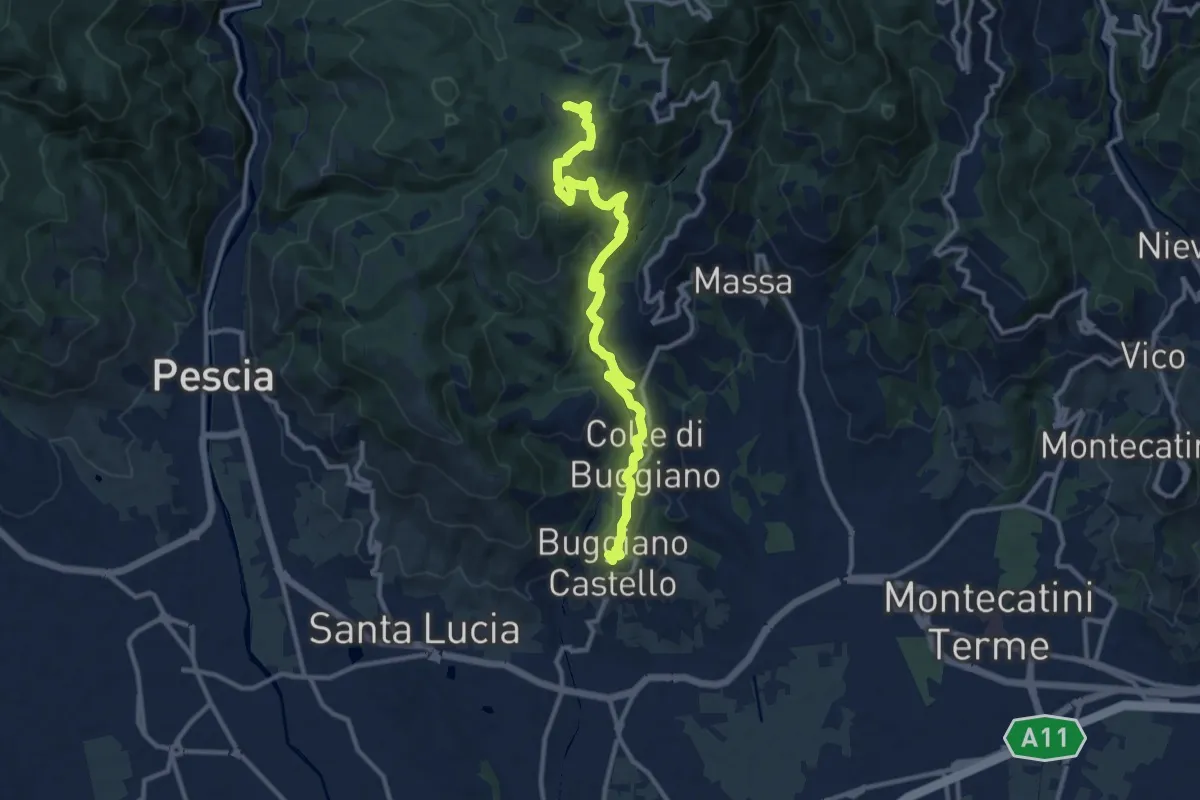
Medium · Summit
Buggiano Castello – Malocchio
13.1 km · ↑ 552 m · 4 h 18 min · 4 km away
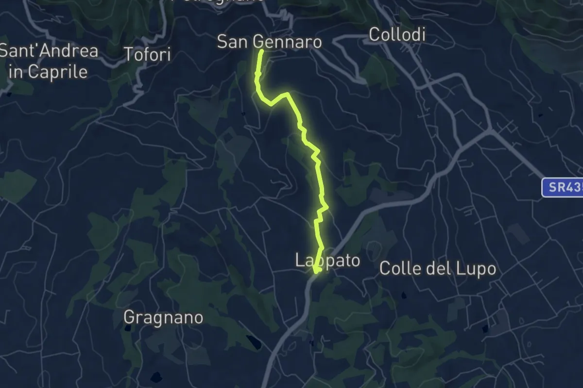
Easy · Trail
Sentiero n.16 "San Gennaro"
5.6 km · ↑ 172 m · 1 h 41 min · 4 km away
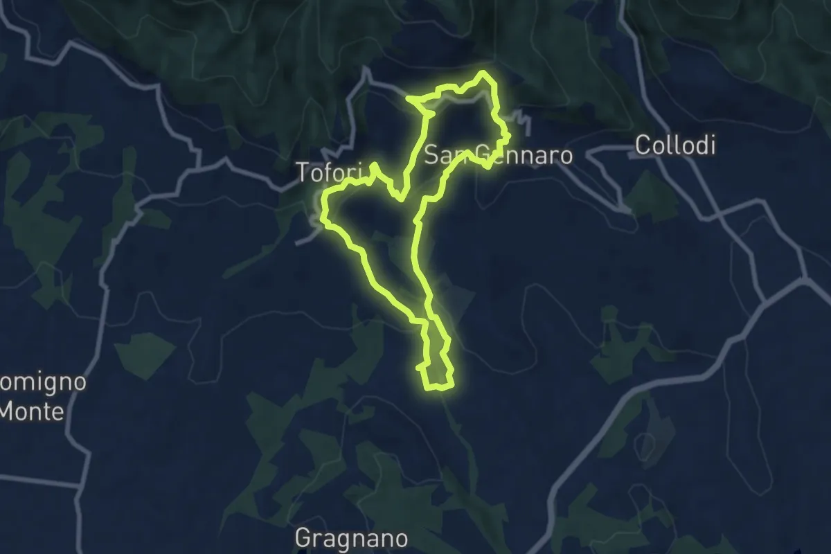
Medium · Trail
Sentiero n.15 "Petrognano"
7.1 km · ↑ 359 m · 2 h 33 min · 4 km away
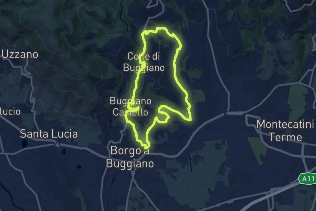
Medium · Summit
Sentiero 6 "Colle e dintorni"
8.5 km · ↑ 236 m · 2 h 37 min · 4 km away
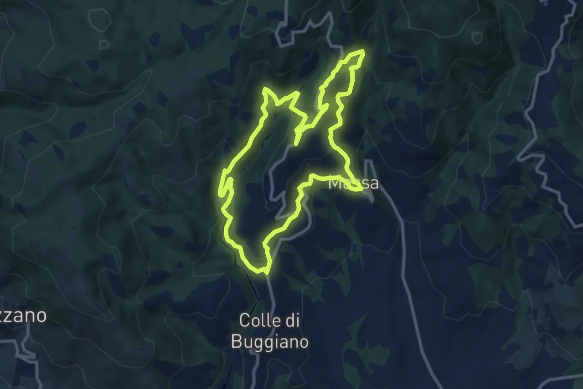
Medium · Trail
Sentiero 3 "Colle e dintorni"
8.6 km · ↑ 448 m · 3 h 8 min · 4 km away
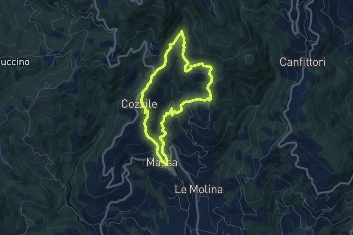
Medium · Summit
Massa – Massa
5.7 km · ↑ 383 m · 2 h 15 min · 5 km away
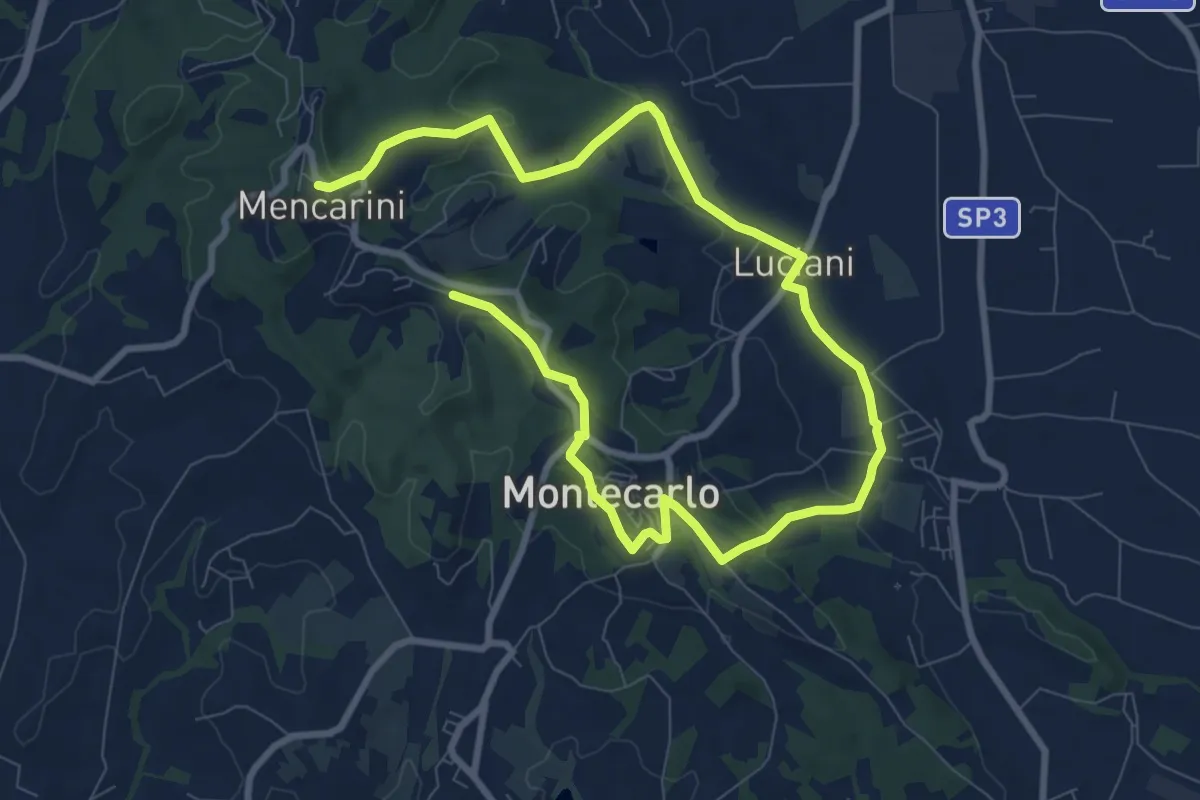
Medium · Trail
Anello Est di Montecarlo
13.8 km · ↑ 296 m · 3 h 54 min · 5 km away
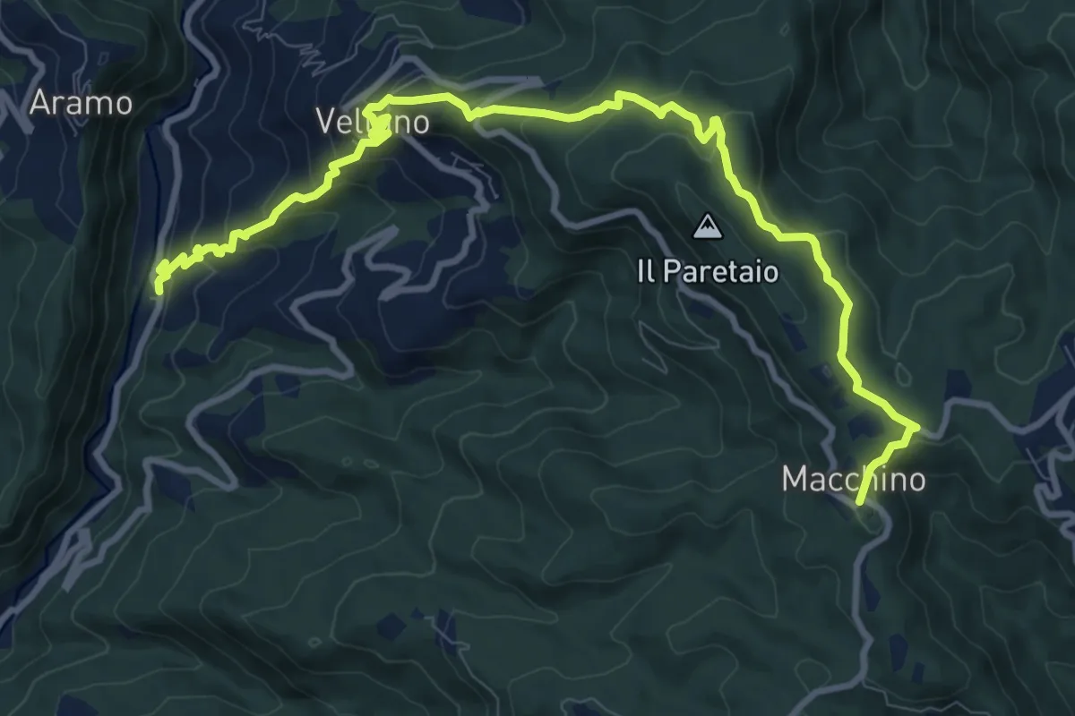
Medium · Summit
Calamari – Macchino
6.1 km · ↑ 644 m · 2 h 38 min · 5 km away
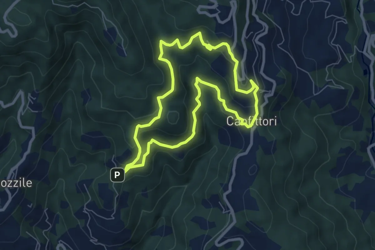
Easy · Summit
Anello Croci Marliana
6.1 km · ↑ 305 m · 2 h 11 min · 5 km away
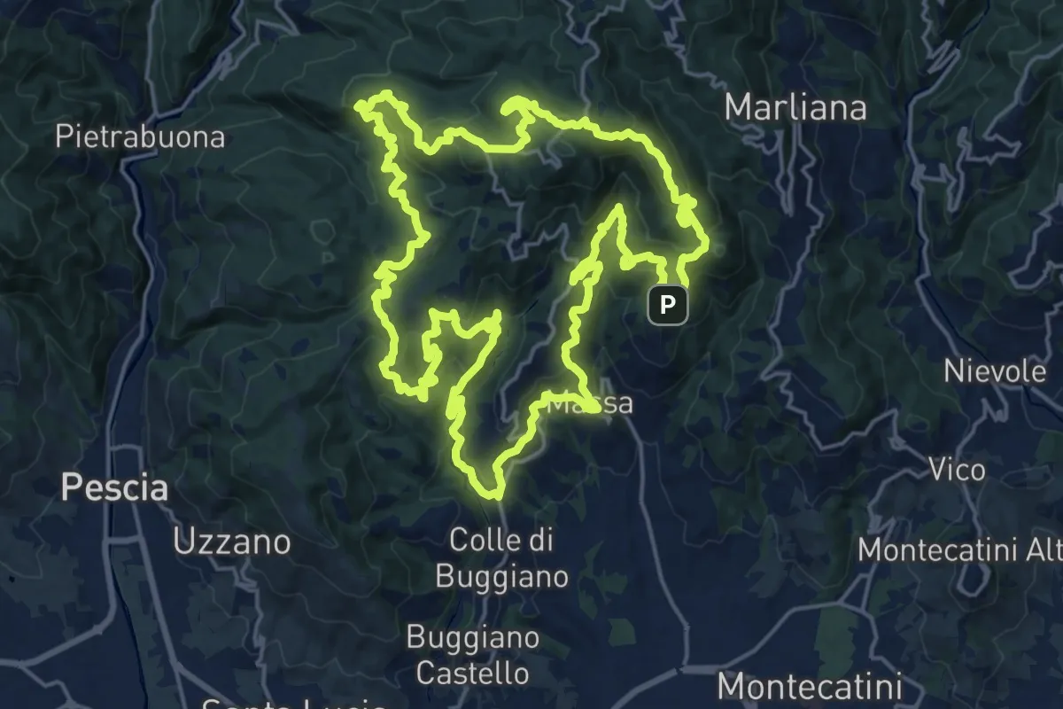
Demanding · Summit
Sentiero 9 "Colle e dintorni"
23.0 km · ↑ 1293 m · 8 h 33 min · 5 km away
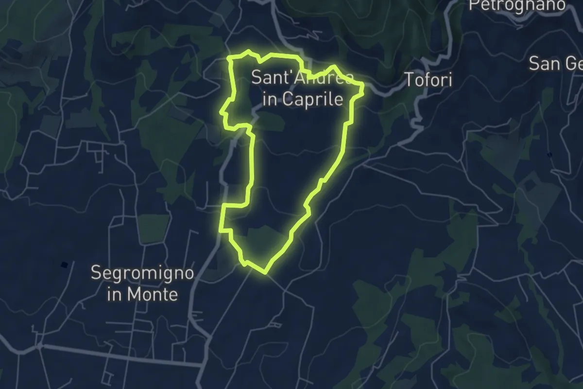
Easy · Trail
Sentiero n.14 "Sant'Andrea in Caprile"
5.2 km · ↑ 192 m · 1 h 43 min · 6 km away
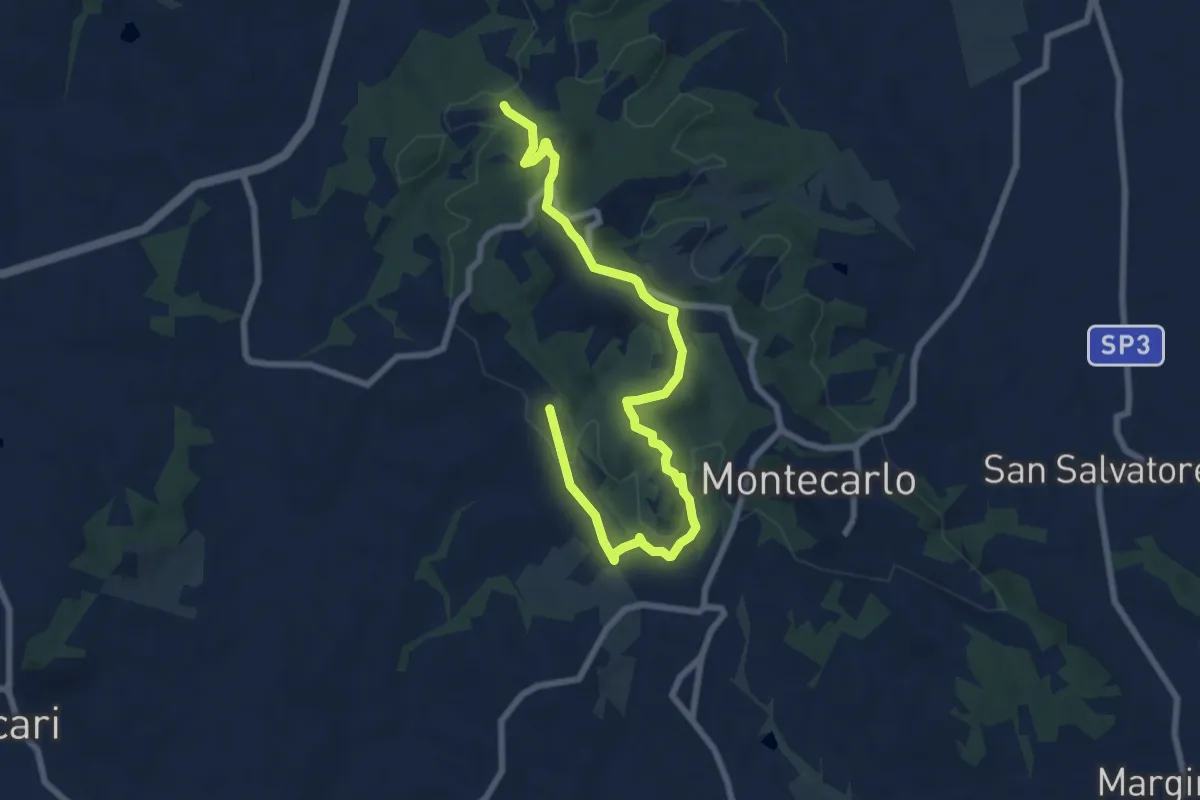
Medium · Trail
Anello Ovest di Montecarlo
9.4 km · ↑ 221 m · 2 h 42 min · 6 km away
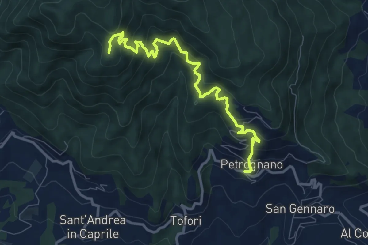
Demanding · Trail
Sentiero n.6 "Querce del Papa"
8.2 km · ↑ 820 m · 3 h 42 min · 6 km away
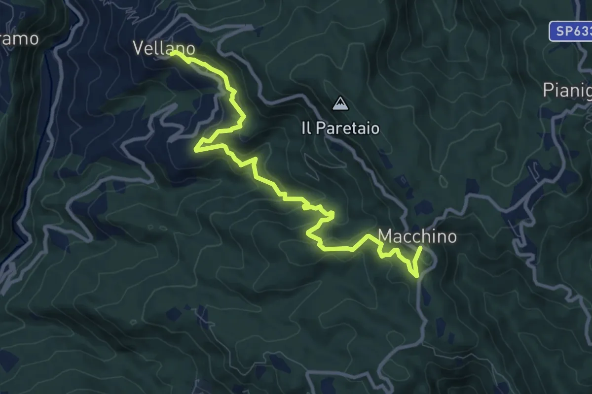
Medium · Trail
Vellano – Macchino
9.8 km · ↑ 515 m · 3 h 26 min · 6 km away
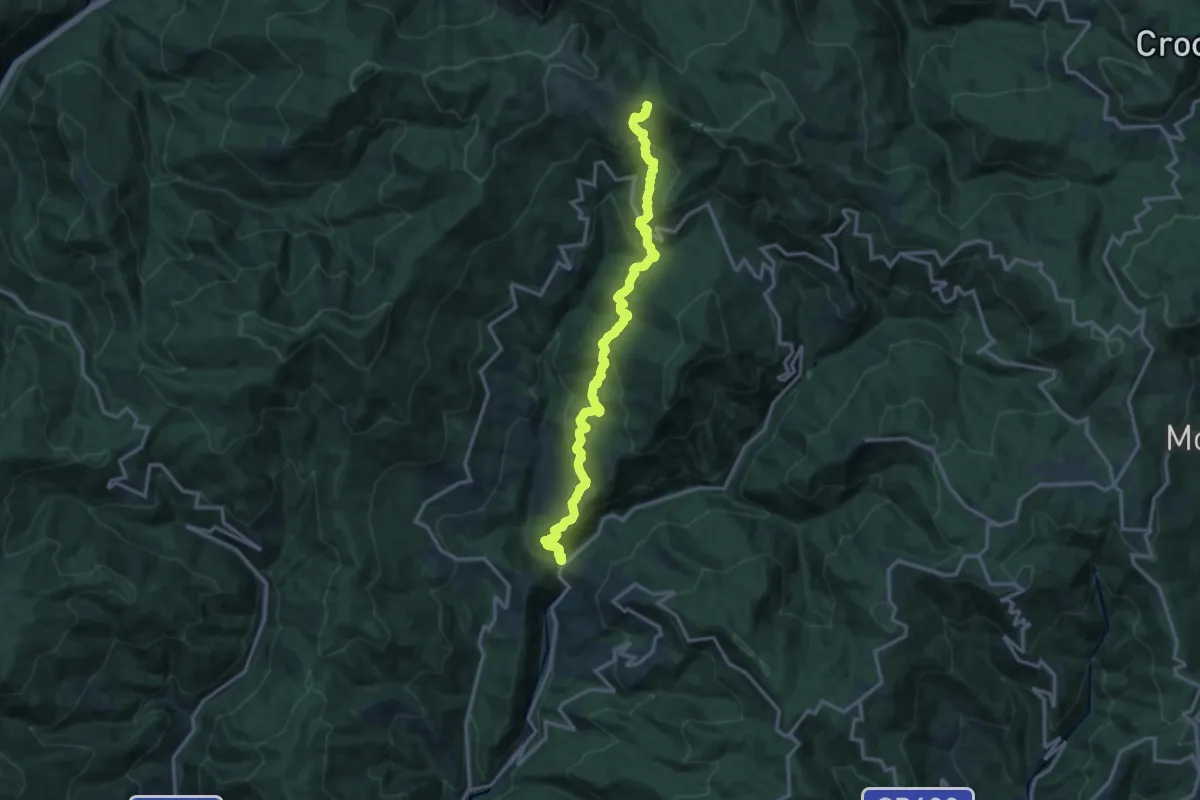
Demanding · Trail
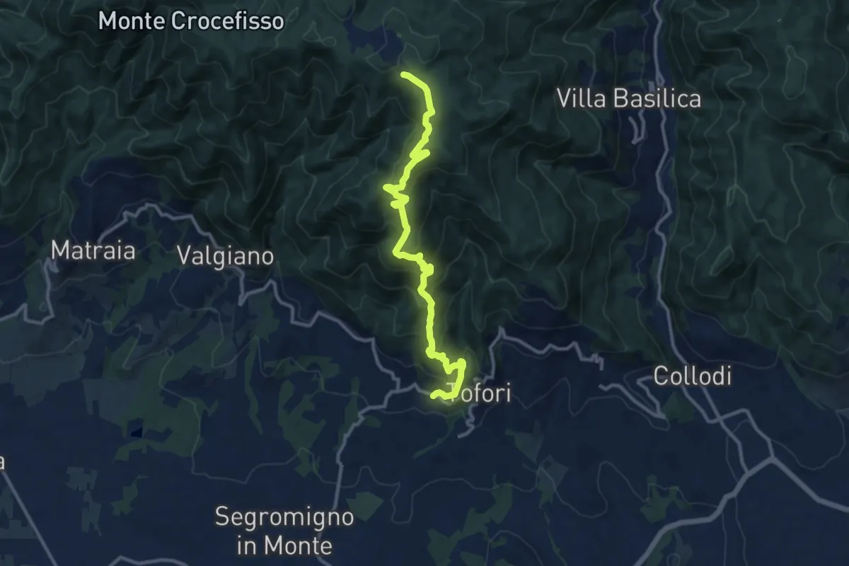
Ponte di Sorana – Croce a Veglia
15.9 km · ↑ 875 m · 5 h 38 min · 7 km away
Medium · Trail
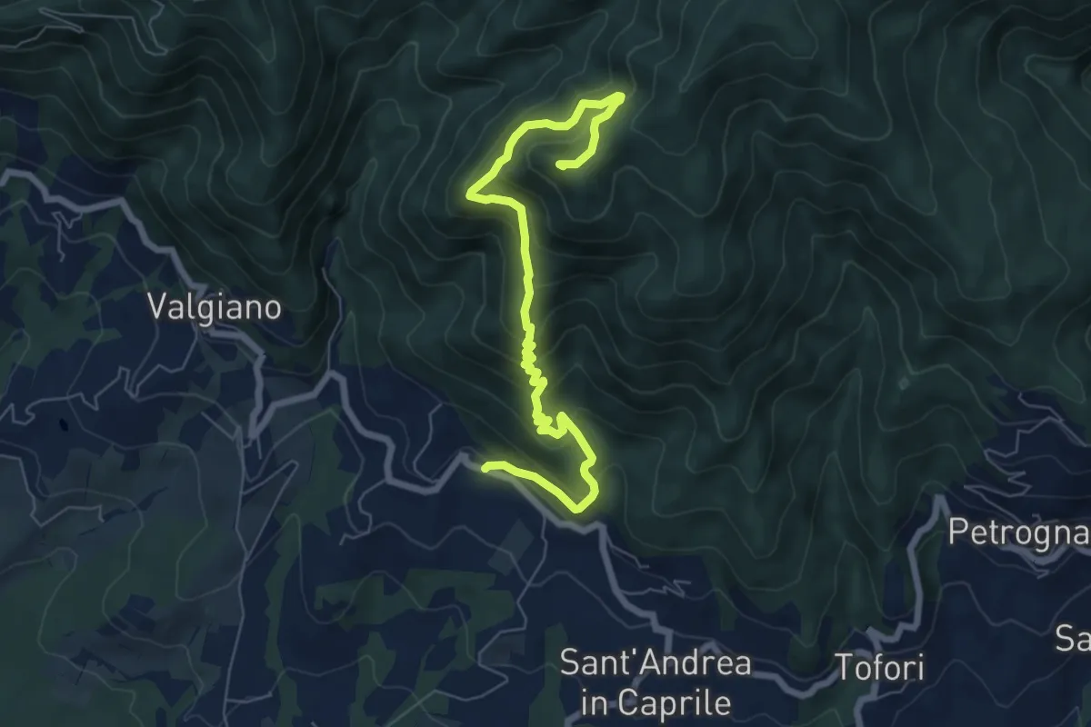
Sentiero n.5 "Prato di Rimogno"
11.8 km · ↑ 756 m · 4 h 25 min · 7 km away
Medium · Summit
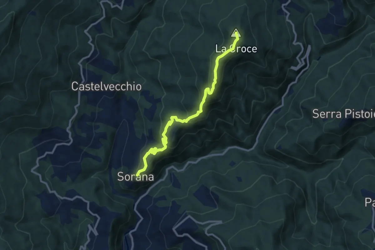
Sentiero n.4 "Monte Scarpiglione"
7.7 km · ↑ 632 m · 3 h 11 min · 7 km away
Medium · Summit
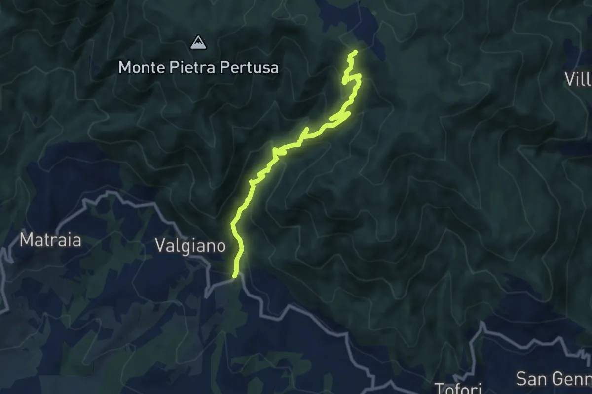
Sorana – Ponte alla Torbola
8.9 km · ↑ 505 m · 3 h 11 min · 7 km away
Medium · Trail
Sentiero n.3 "La Cartiera"
8.5 km · ↑ 647 m · 3 h 25 min · 7 km away
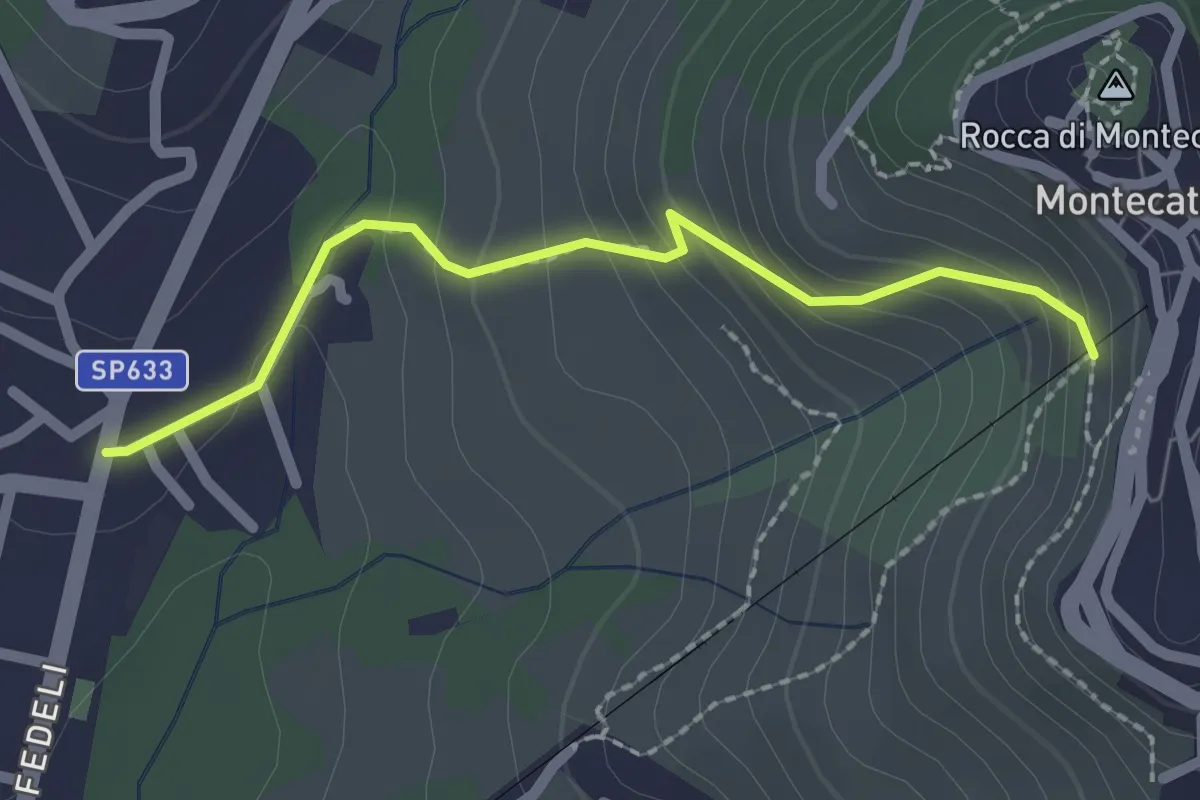
Easy · Trail
[B] Via Amore
2.1 km · ↑ 153 m · 50 min · 7 km away
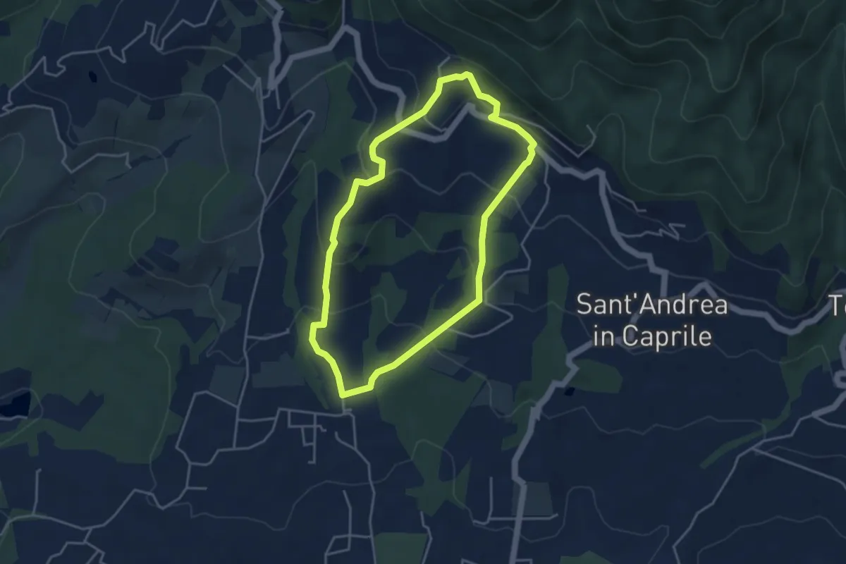
Easy · Trail
Sentiero n.13 "San Pietro a Marcigliano"
3.9 km · ↑ 213 m · 1 h 26 min · 7 km away
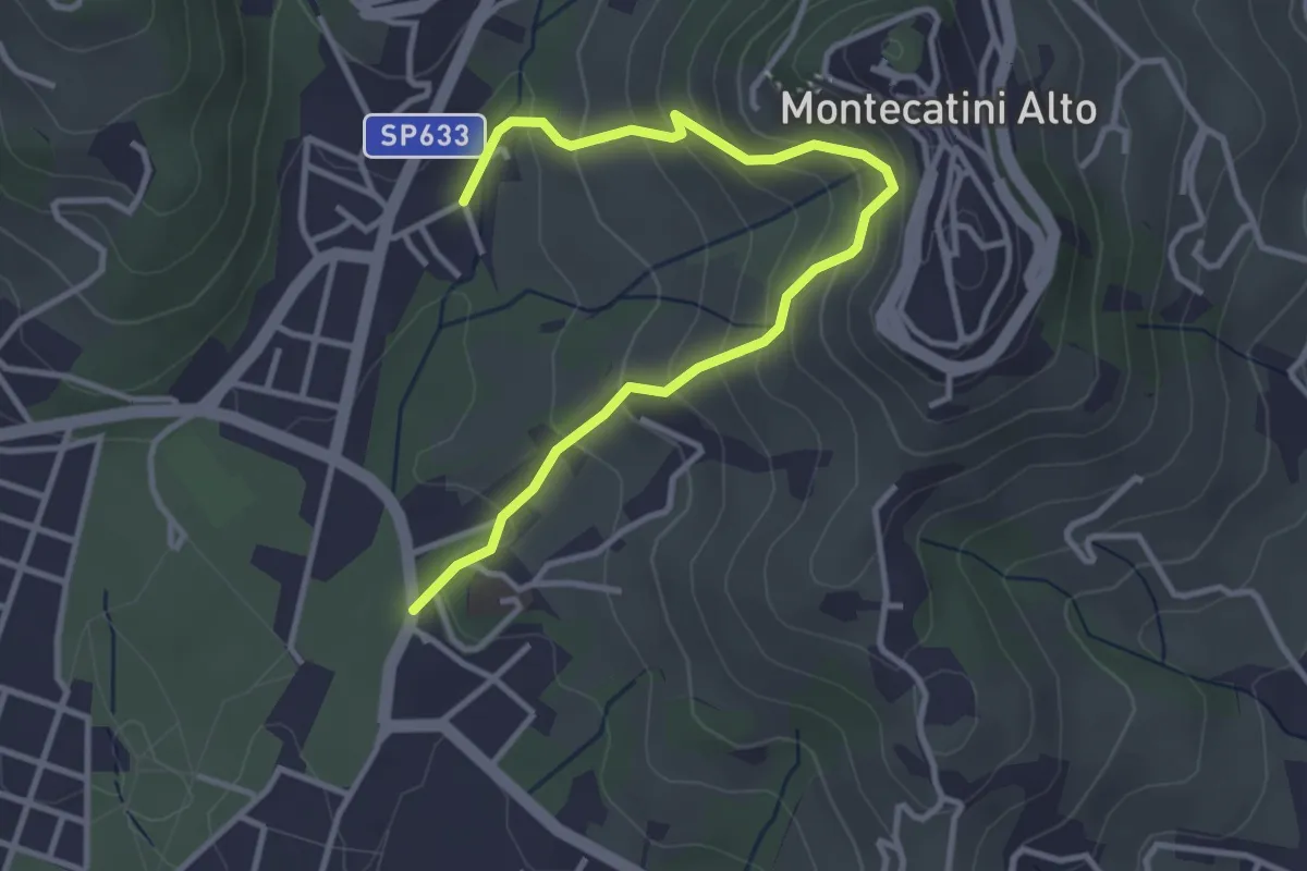
Medium · Trail
Montecatini Terme – Montecatini Terme
4.0 km · ↑ 330 m · 1 h 40 min · 7 km away
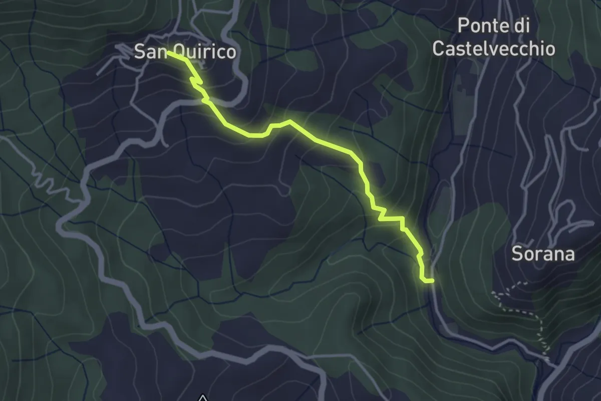
Easy · Trail
Mulino del Monti – San Quirico
3.3 km · ↑ 274 m · 1 h 23 min · 8 km away
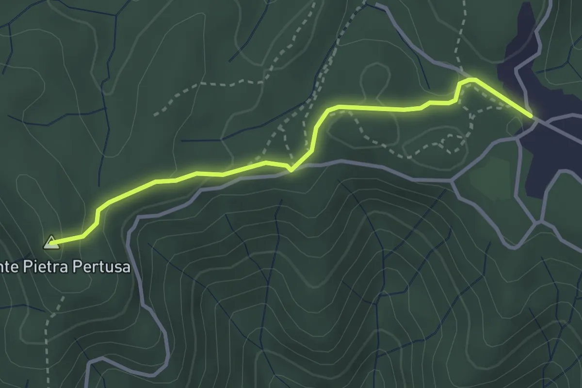
Easy · Summit
Sentiero n.2 "Pietra Pertusa"
3.1 km · ↑ 89 m · 55 min · 8 km away
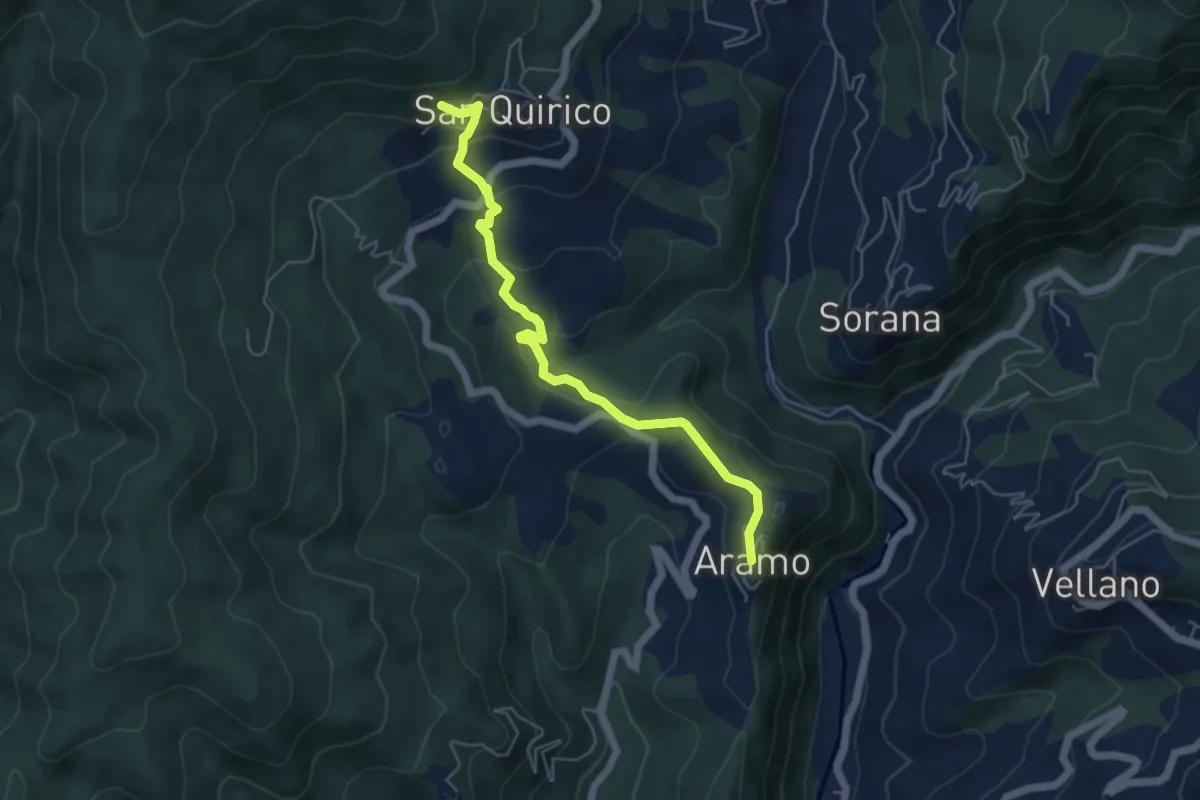
Easy · Trail
Aramo – San Quirico
2.8 km · ↑ 48 m · 53 min · 8 km away
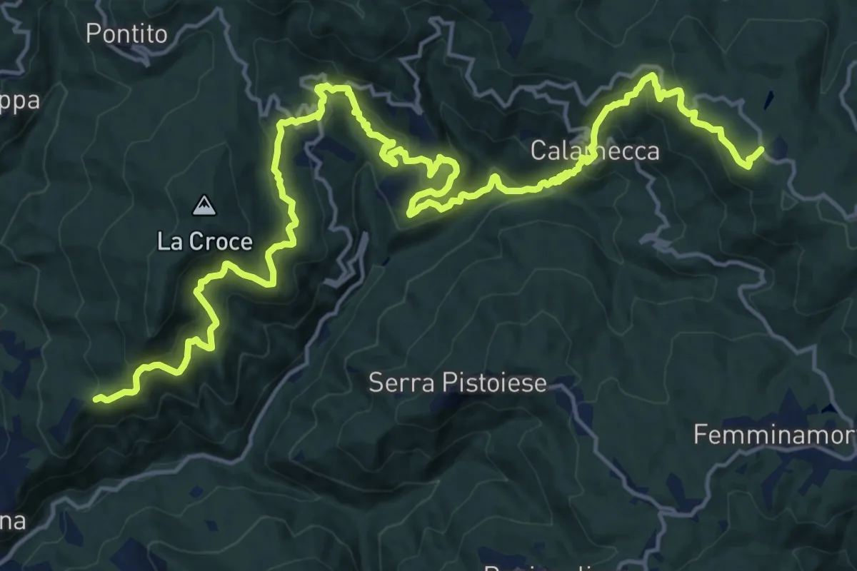
Demanding · Trail
Montaione – Macchia Antonini
12.3 km · ↑ 1049 m · 5 h 10 min · 8 km away
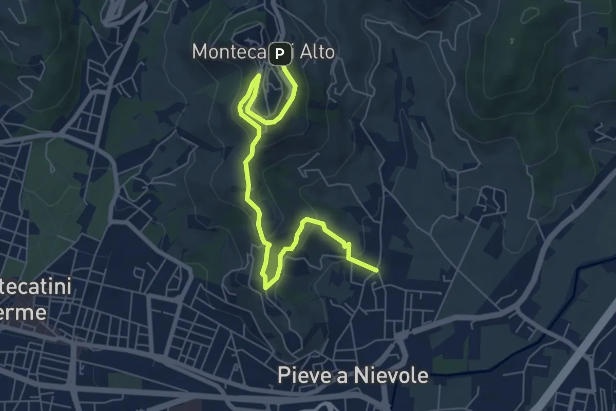
Medium · Trail
Via Fra Carlo (Pieve a NIevole) – Montecatini Alto (Ospizio San Francesco)
6.8 km · ↑ 328 m · 2 h 19 min · 8 km away
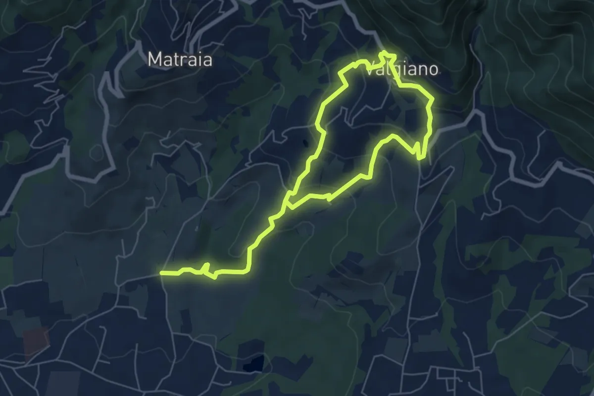
Easy · Trail
Sentiero n.12 "Valgiano"
5.1 km · ↑ 232 m · 1 h 48 min · 9 km away
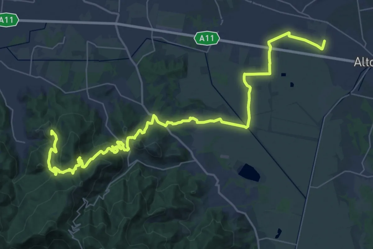
Demanding · Summit
Via Francigena - Variante Sant'Andrea di Compito
20.5 km · ↑ 689 m · 6 h 31 min · 9 km away
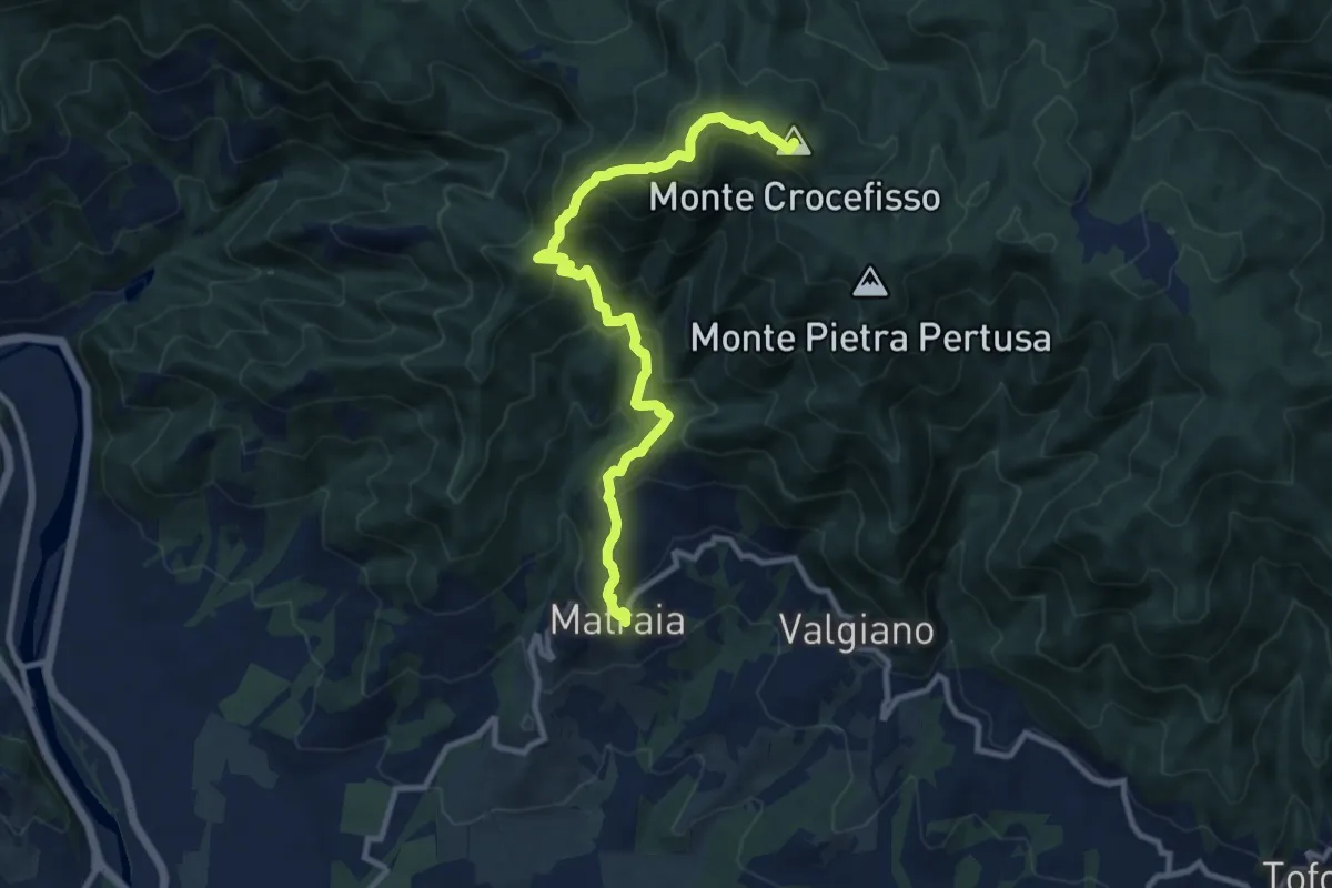
Medium · Summit
Sentiero n.1 "Monte Gromigno"
11.1 km · ↑ 779 m · 4 h 18 min · 9 km away
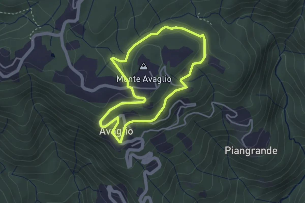
Easy · Summit
Giro Ortocieco
2.9 km · ↑ 93 m · 56 min · 10 km away