Trails near Pescia
73 hikes starting within 15 km, nearest first.
Nearest first, page 2 of 2
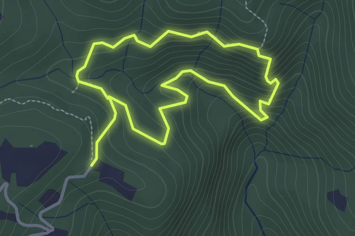
Easy · Trail
Giro Sasso del Diavolo
2.3 km · ↑ 160 m · 56 min · 10 km away
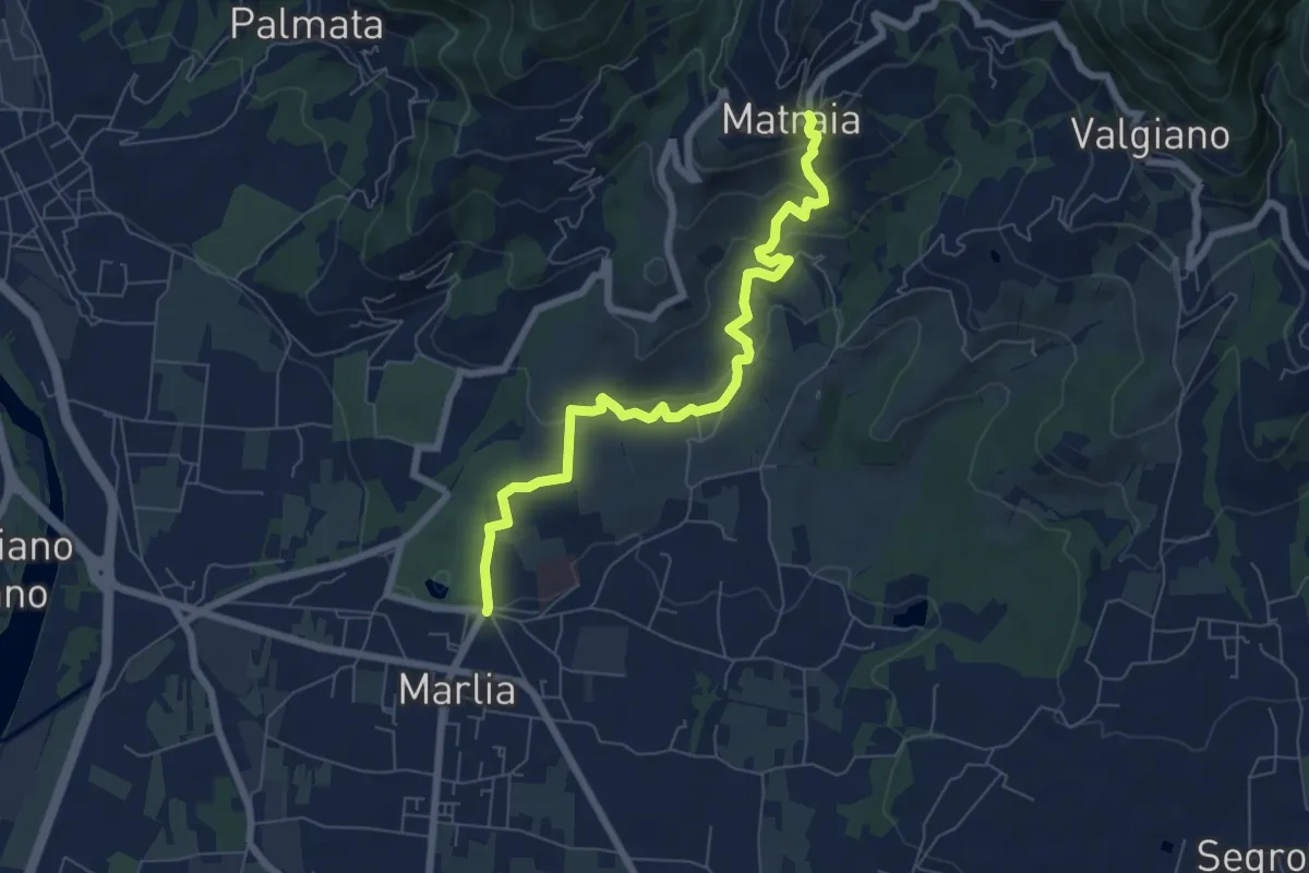
Easy · Trail
Sentiero n.11 "Colline capannoresi"
7.4 km · ↑ 287 m · 2 h 23 min · 11 km away
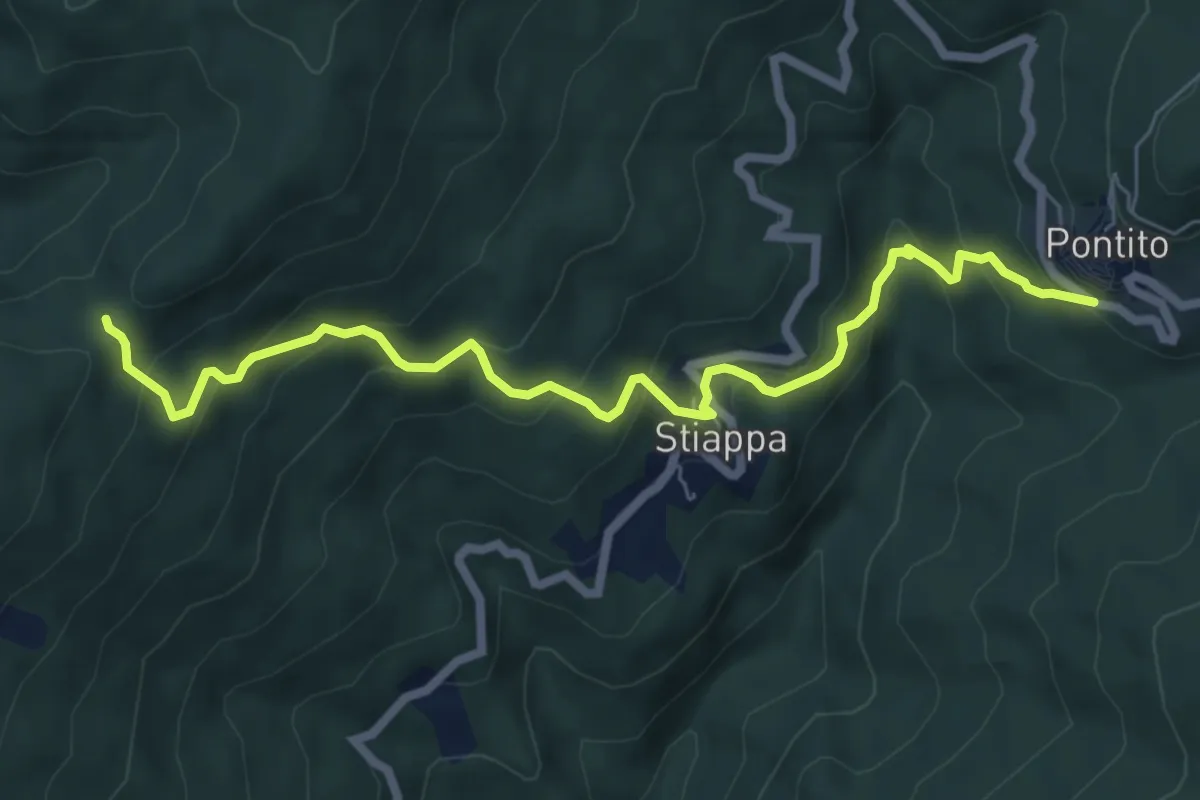
Medium · Trail
Pontito – Croce del Sargentino
7.5 km · ↑ 533 m · 2 h 56 min · 11 km away
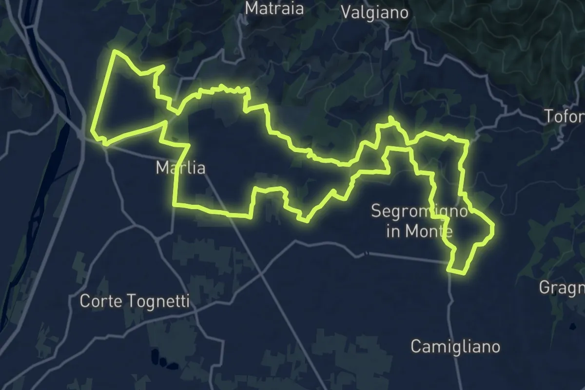
Demanding · Trail
Tour delle Ville
22.5 km · ↑ 357 m · 6 h 25 min · 11 km away
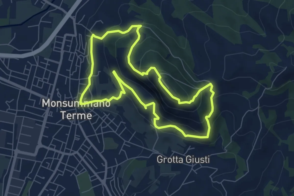
Medium · Summit
Monsummano Terme – Monsummano Terme
6.4 km · ↑ 359 m · 2 h 23 min · 11 km away
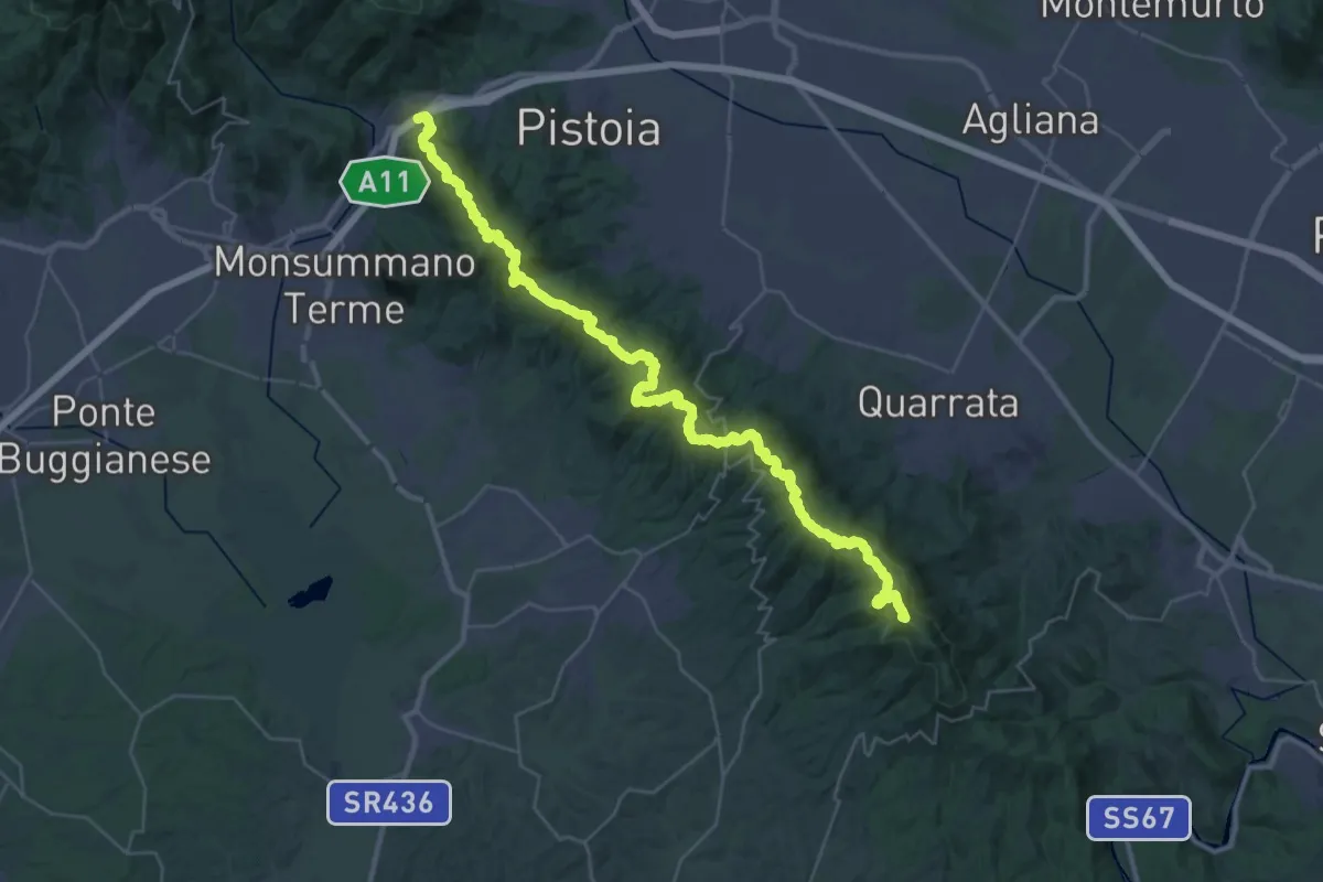
Demanding · Summit
Parcheggio via Buricchi La Malvax Stazione di Carmignano – Serravalle Pistoiese
44.8 km · ↑ 1705 m · 14 h 16 min · 12 km away
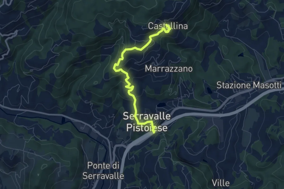
Medium · Trail
Passo Serravalle Pistoiese – Castellina
7.8 km · ↑ 370 m · 2 h 38 min · 12 km away
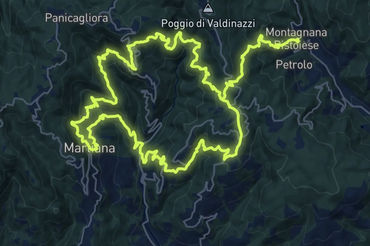
Demanding · Summit
Anello 4 - Sentiero del pane
22.6 km · ↑ 1495 m · 8 h 46 min · 12 km away
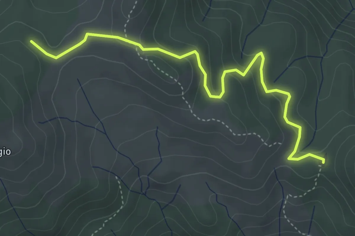
Easy · Summit
Croce a Veglia – Le Pracchie
2.5 km · ↑ 159 m · 55 min · 12 km away
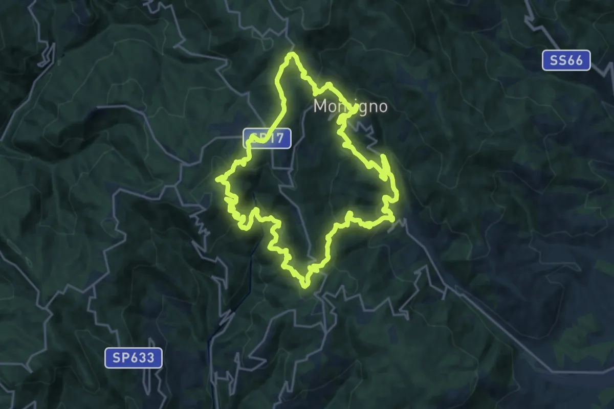
Demanding · Summit
Anello 3 - Sentiero della castagna
19.0 km · ↑ 995 m · 6 h 55 min · 13 km away
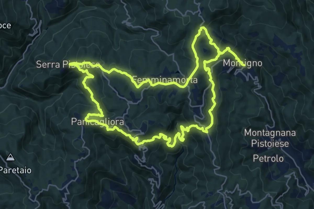
Demanding · Summit
Anello 2 - Sentiero della pietra
19.2 km · ↑ 977 m · 6 h 51 min · 13 km away
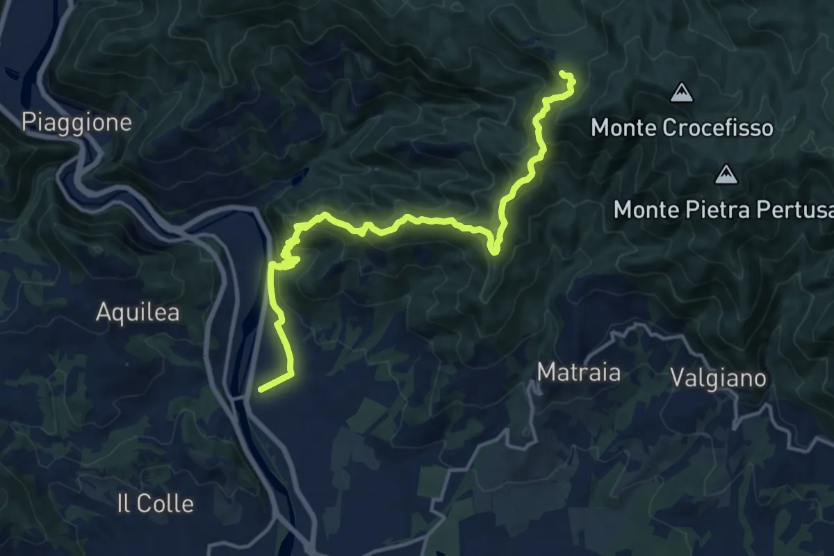
Demanding · Trail
Ponte a Moriano – Tubbiano
16.0 km · ↑ 987 m · 5 h 56 min · 13 km away
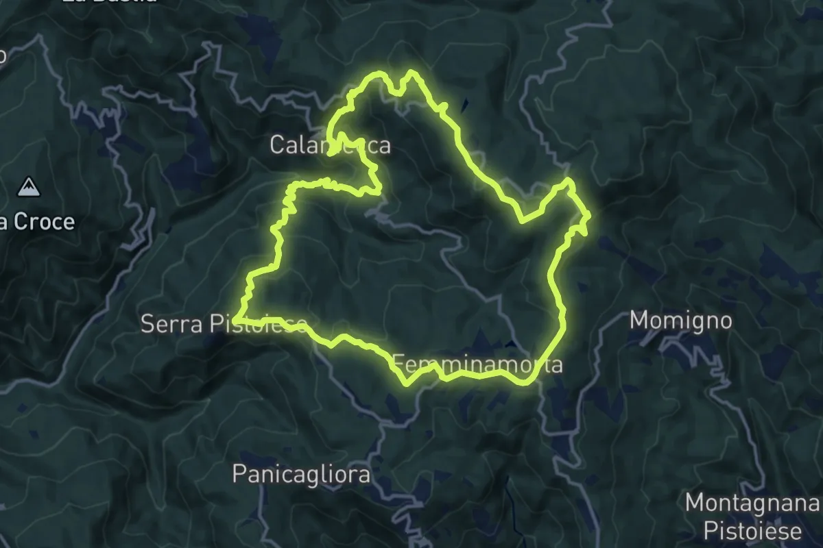
Medium · Summit
Anello 1 - Sentiero dei borghi
15.3 km · ↑ 689 m · 5 h 19 min · 13 km away
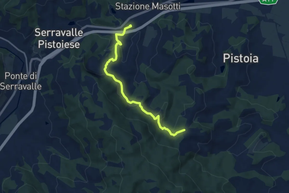
Medium · Trail
Stazione Masotti FFSS – innesto sentiero 817
8.4 km · ↑ 309 m · 2 h 39 min · 13 km away
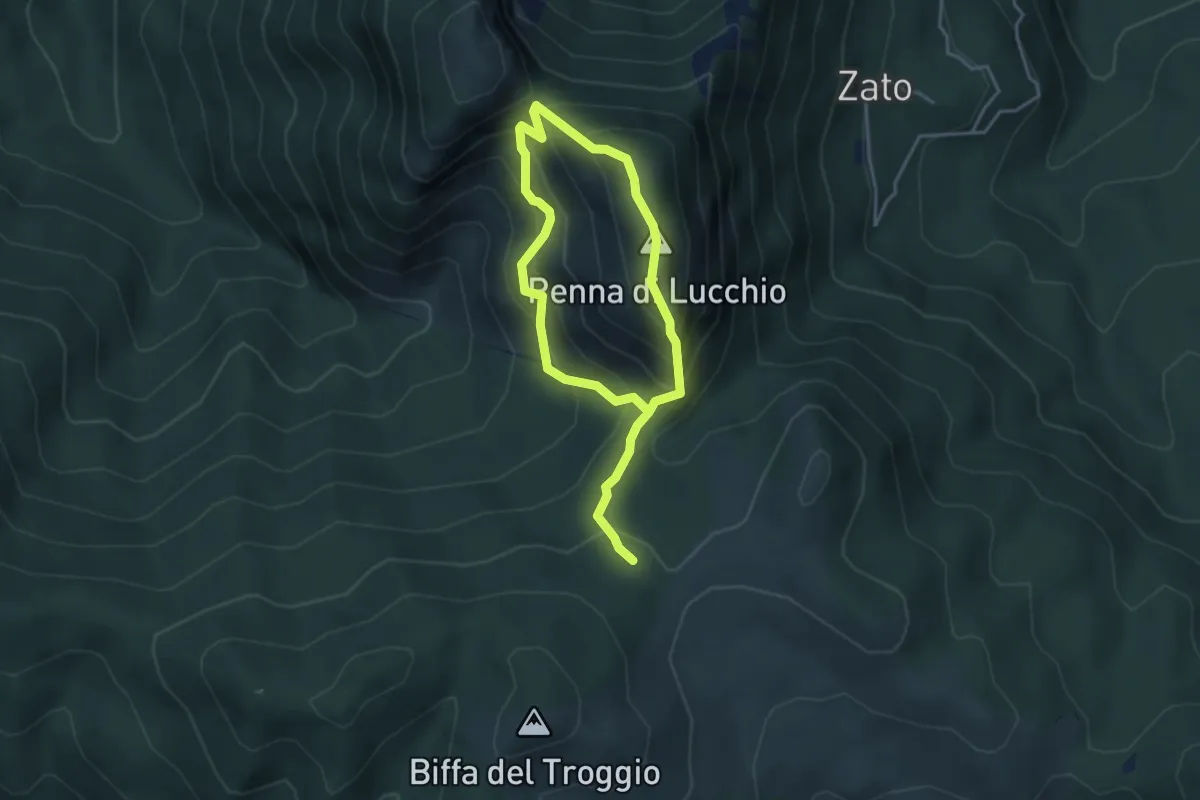
Demanding · Summit
Serra a Pracchia – Le Calcinaie
3.0 km · ↑ 333 m · 1 h 27 min · 13 km away
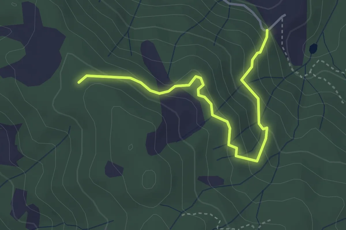
Easy · Trail
Montalto innesto sentiero 821 – innesto sentiero 800
3.7 km · ↑ 215 m · 1 h 21 min · 14 km away
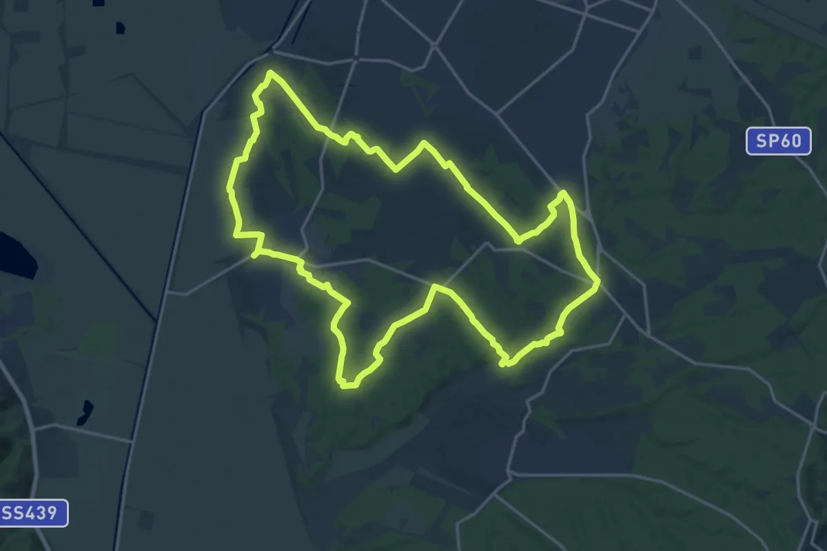
Demanding · Trail
Grande Anello di Orentano
19.4 km · ↑ 112 m · 5 h 6 min · 14 km away
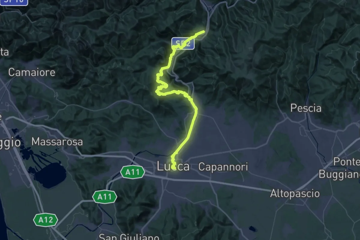
Demanding · Trail
Via del Volto Santo 7
30.8 km · ↑ 564 m · 8 h 57 min · 14 km away
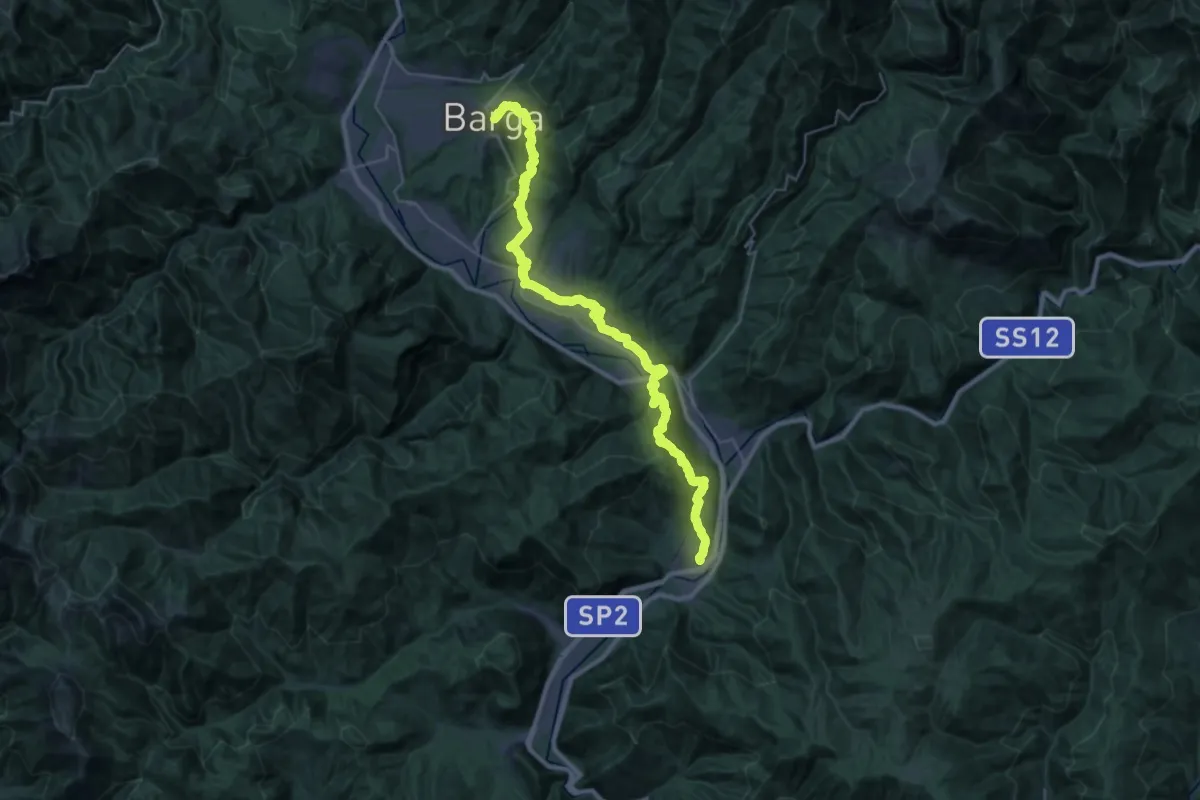
Medium · Trail
Via del Volto Santo 6
17.9 km · ↑ 748 m · 5 h 57 min · 14 km away
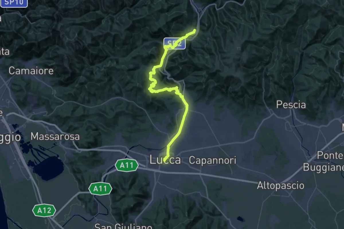
Demanding · Trail
Via Matildica del Volto Santo: Tappa 11
29.3 km · ↑ 487 m · 8 h 27 min · 14 km away
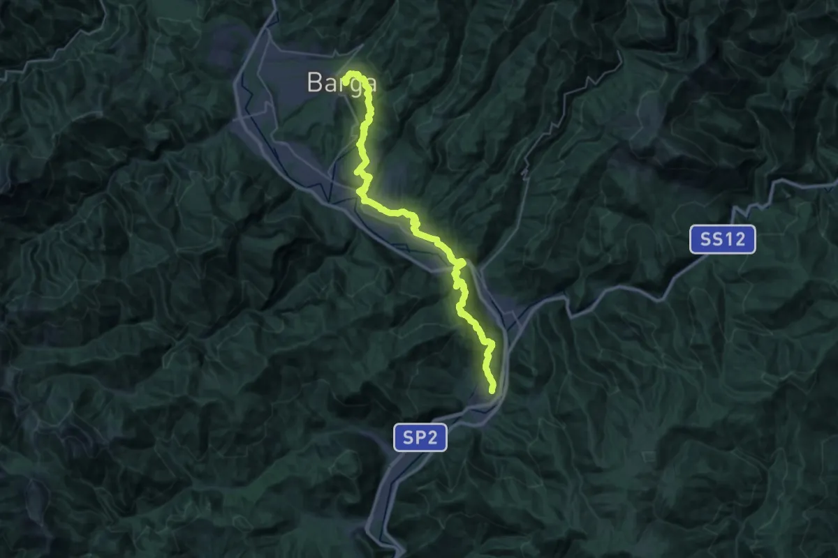
Medium · Trail
Via Matildica del Volto Santo: Tappa 10
17.6 km · ↑ 750 m · 5 h 54 min · 14 km away
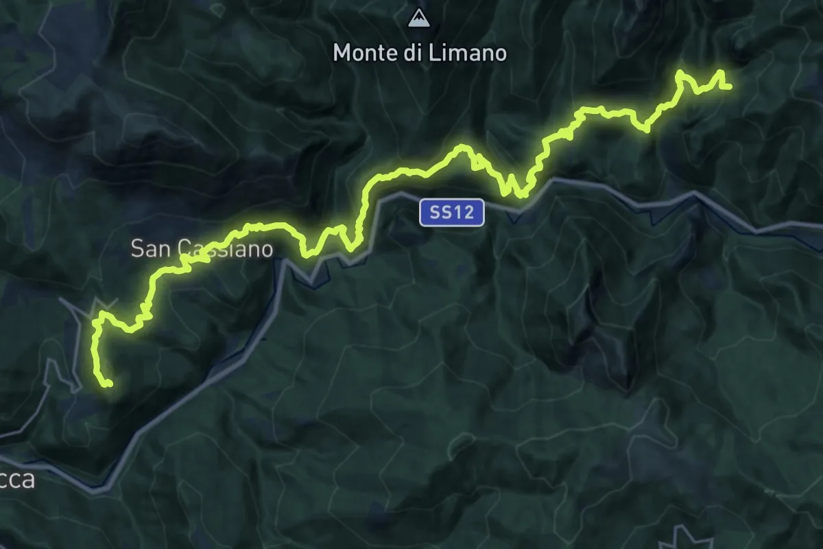
Demanding · Summit
Cammino di San Bartolomeo - TAPPA VARIANTE Popiglio-Vico Pancellorum-Pieve di Controni
34.3 km · ↑ 2016 m · 12 h 28 min · 14 km away
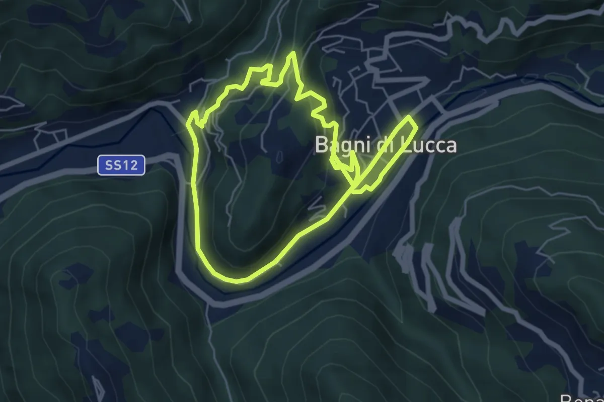
Medium · Trail
Via dell'Acqua
10.0 km · ↑ 432 m · 3 h 18 min · 15 km away
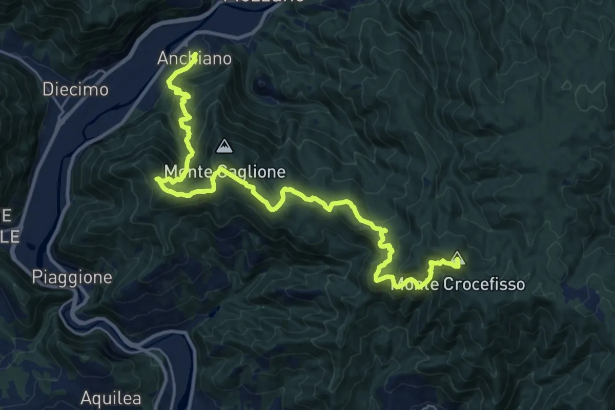
Demanding · Summit
Sentiero delle Colline Lucchesi
23.7 km · ↑ 1613 m · 9 h 5 min · 15 km away
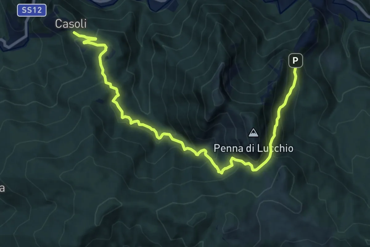
Demanding · Trail
Casoli – Lucchio
14.1 km · ↑ 1001 m · 5 h 30 min · 15 km away