Trails near Pietrasanta
134 hikes starting within 15 km, nearest first.
Nearest first, page 1 of 3
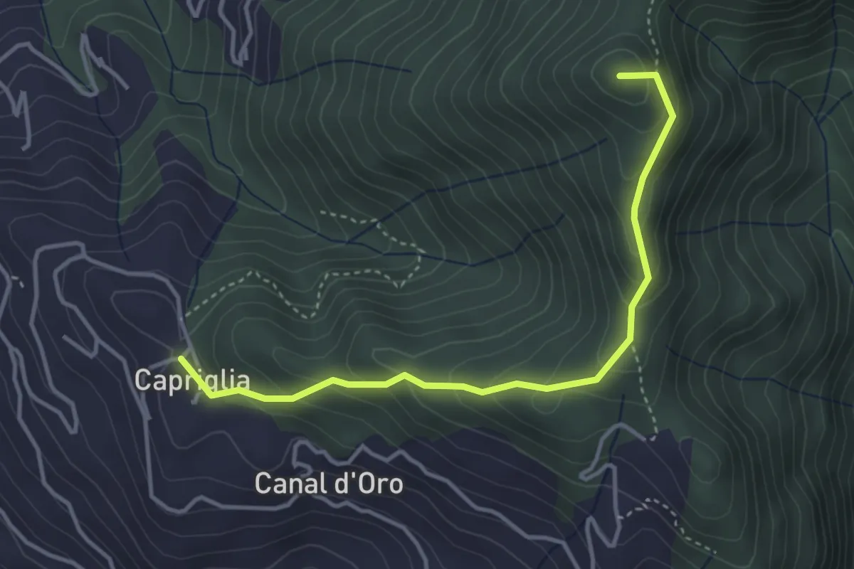
Easy · Summit
Sentiero Alta Versilia - Tappa 11
4.0 km · ↑ 314 m · 1 h 38 min · 1 km away
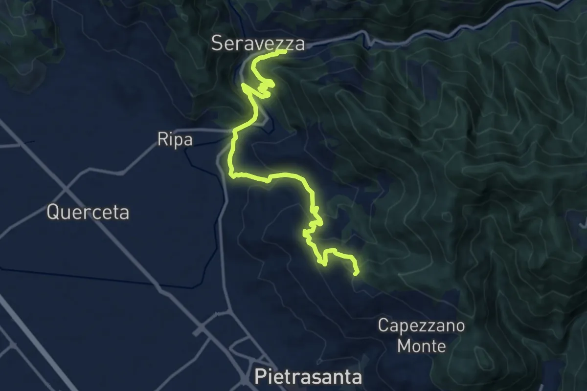
Medium · Trail
Sentiero Alta Versilia - Tappa 12
12.2 km · ↑ 646 m · 4 h 17 min · 1 km away
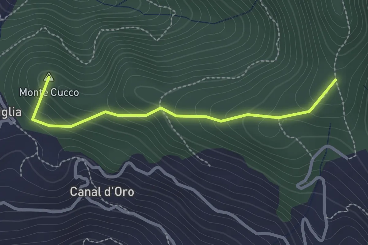
Easy · Summit
Capriglia – Le Foci
2.4 km · ↑ 181 m · 57 min · 2 km away
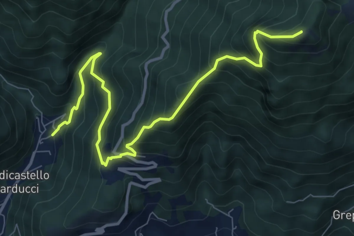
Demanding · Summit
Valdicastello Carducci – Foce di San Rocchino
8.8 km · ↑ 1020 m · 4 h 18 min · 3 km away
Demanding · Trail
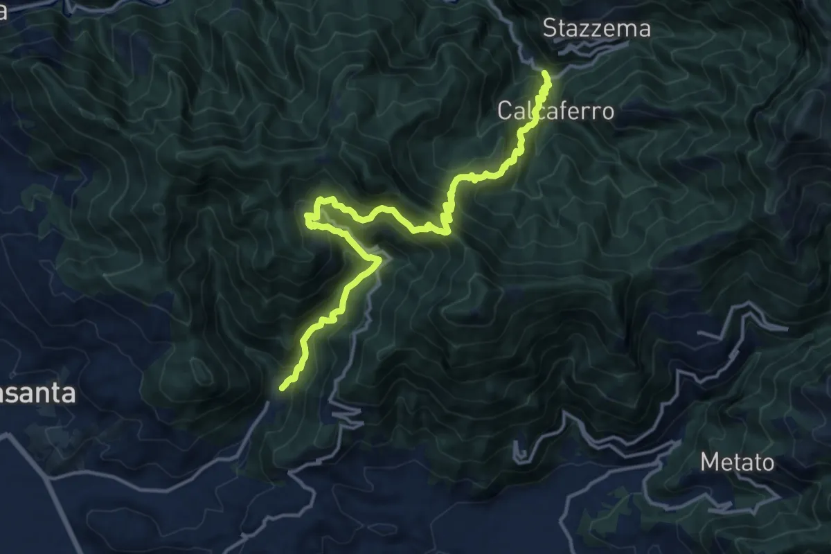
Valdicastello Carducci – Mulina
16.0 km · ↑ 1447 m · 6 h 55 min · 3 km away
Easy · Summit
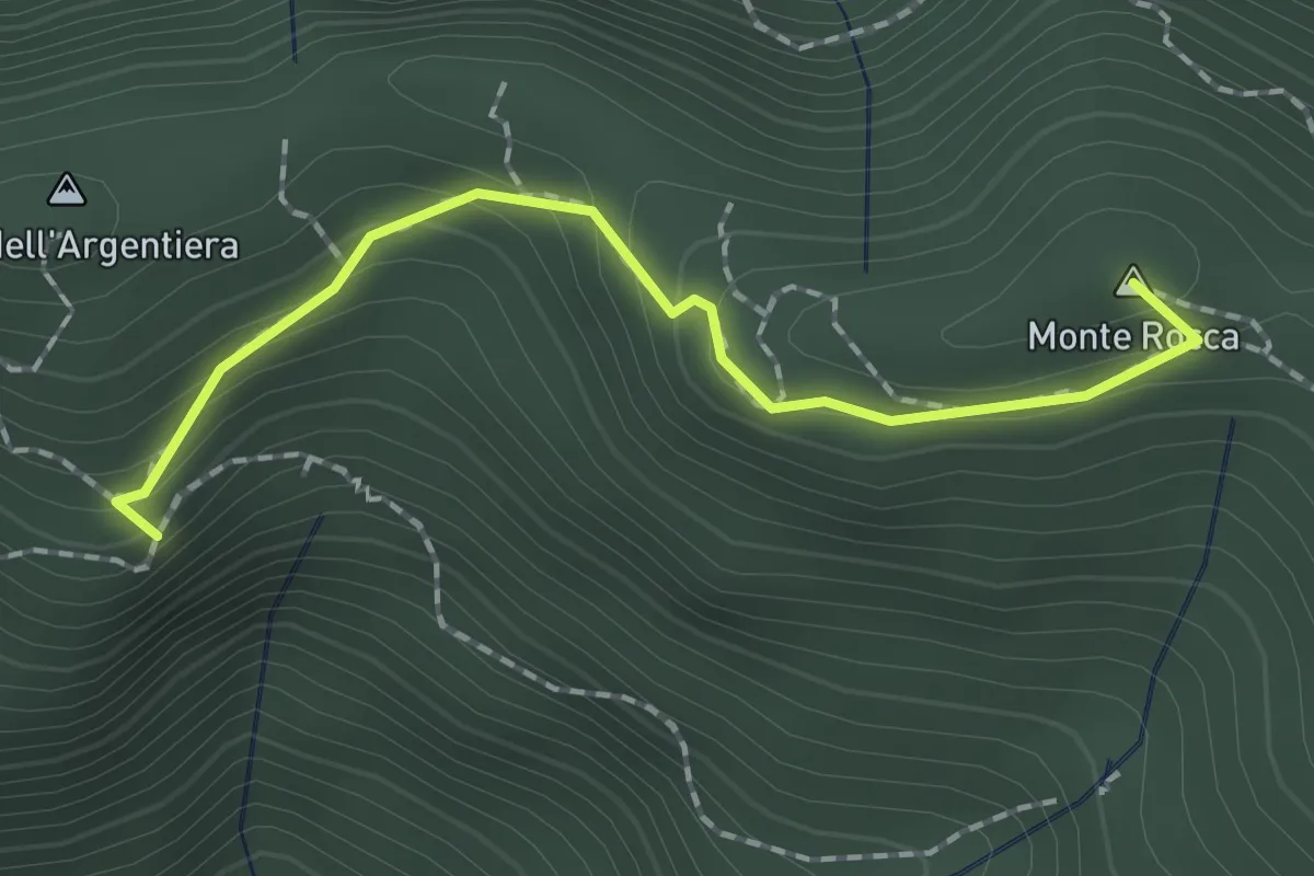
Casa Zuffone – Foce di Sant'Anna
1.8 km · ↑ 126 m · 43 min · 3 km away
Medium · Trail
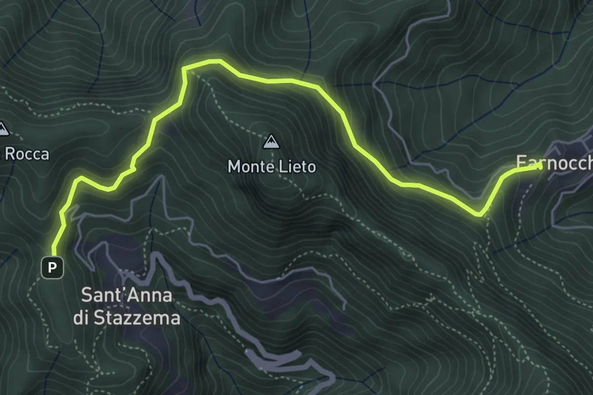
Sentiero Alta Versilia - Tappa 10
6.0 km · ↑ 450 m · 2 h 23 min · 3 km away
Easy · Trail
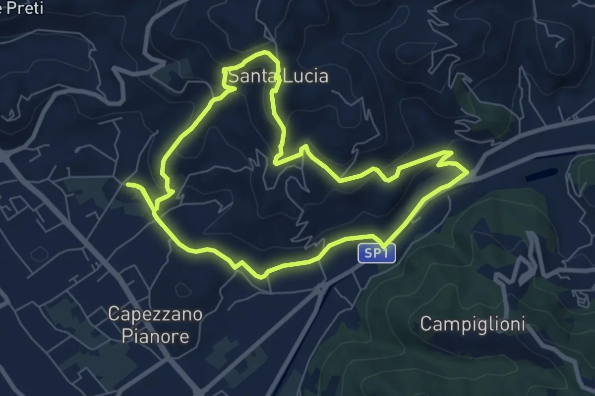
ANELLO 1 - CAPEZZANO - S. LUCIA - CAPEZZANO
6.3 km · ↑ 271 m · 2 h 10 min · 4 km away
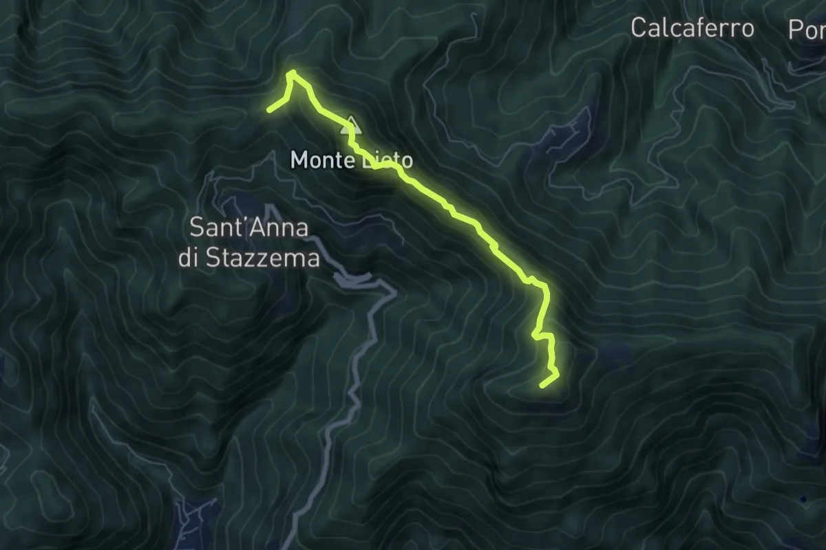
Medium · Summit
Foce di Sant'Anna – Percorso 117 (base "gradino Hillary")
6.3 km · ↑ 681 m · 2 h 58 min · 4 km away
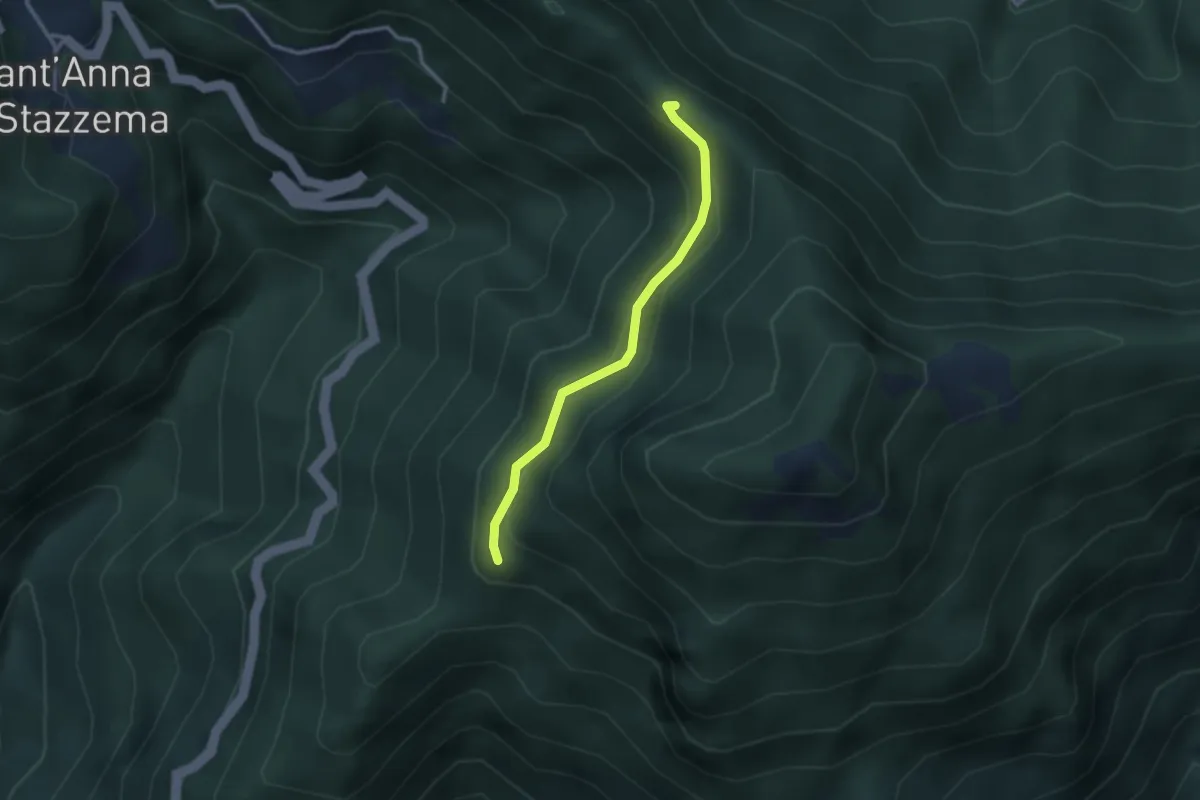
Medium · Trail
Percorso 107 – Foce di Farnocchia
2.6 km · ↑ 179 m · 1 h · 4 km away
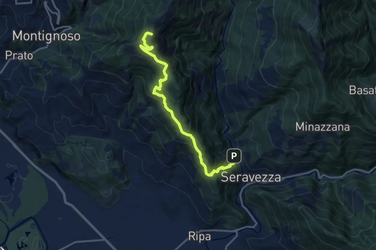
Demanding · Summit
Seravezza – Pasquilio
10.3 km · ↑ 858 m · 4 h 18 min · 4 km away
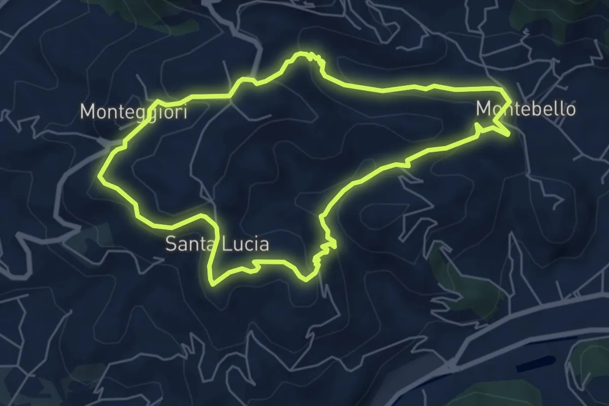
Medium · Trail
ANELLO 2 - MONTEBELLO - S. LUCIA - MONTEGGIORI - MONTEBELLO
5.8 km · ↑ 248 m · 1 h 59 min · 5 km away
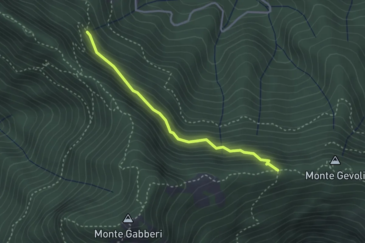
Medium · Trail
Sentiero della Pietralunga
2.9 km · ↑ 230 m · 1 h 11 min · 5 km away
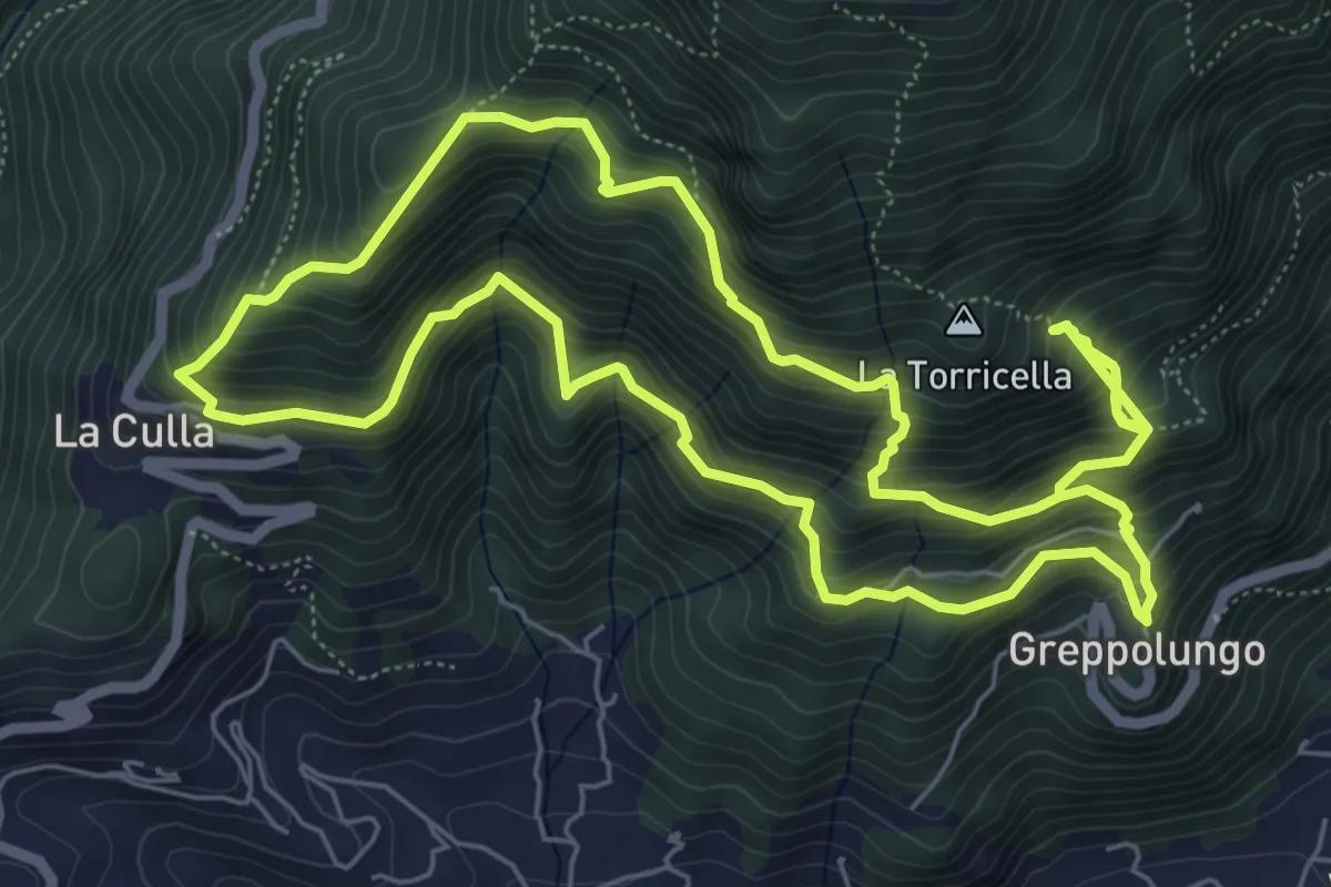
Demanding · Trail
ANELLO 3 - GREPPOLUNGO - LA CULLA - ROCCIA DEI PENNATI - GREPPOLUNGO
14.0 km · ↑ 1572 m · 6 h 43 min · 5 km away
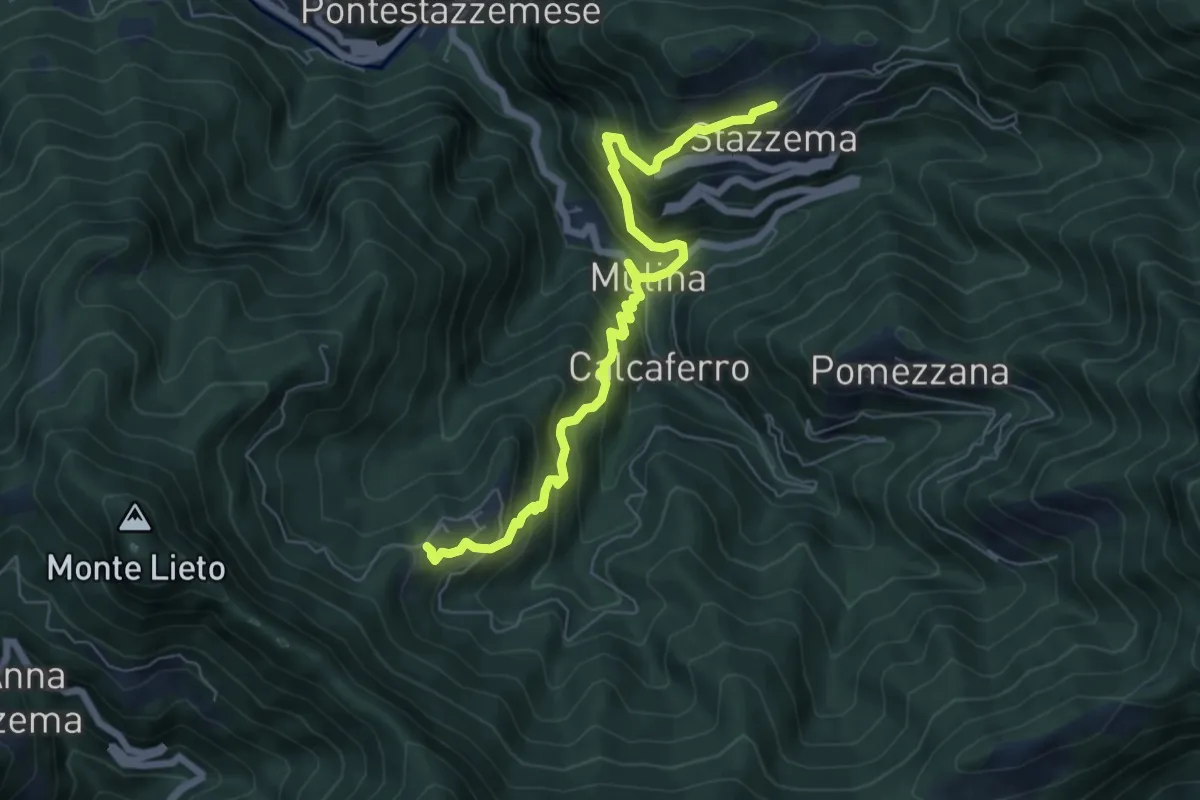
Medium · Trail
Sentiero Alta Versilia - Tappa 09
7.3 km · ↑ 652 m · 3 h 8 min · 5 km away
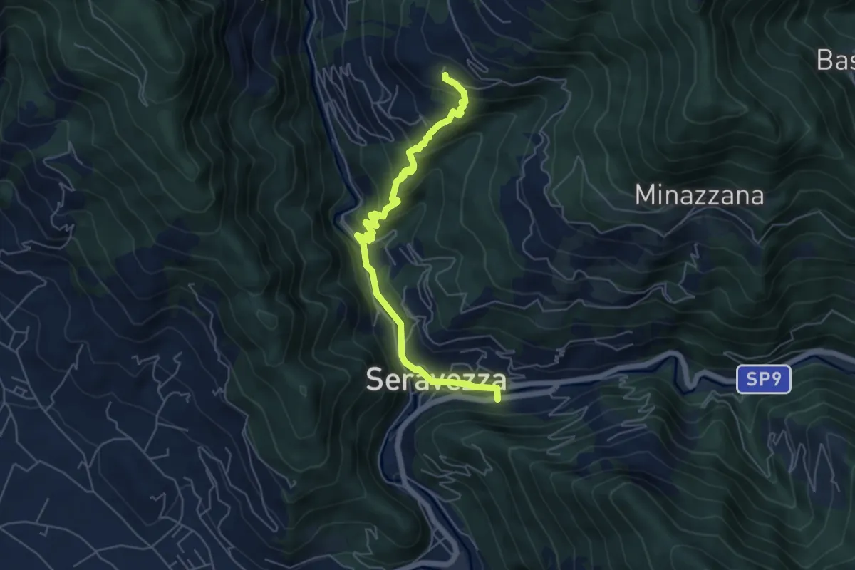
Medium · Trail
Sentiero Alta Versilia - Tappa 01
6.0 km · ↑ 338 m · 2 h 9 min · 6 km away
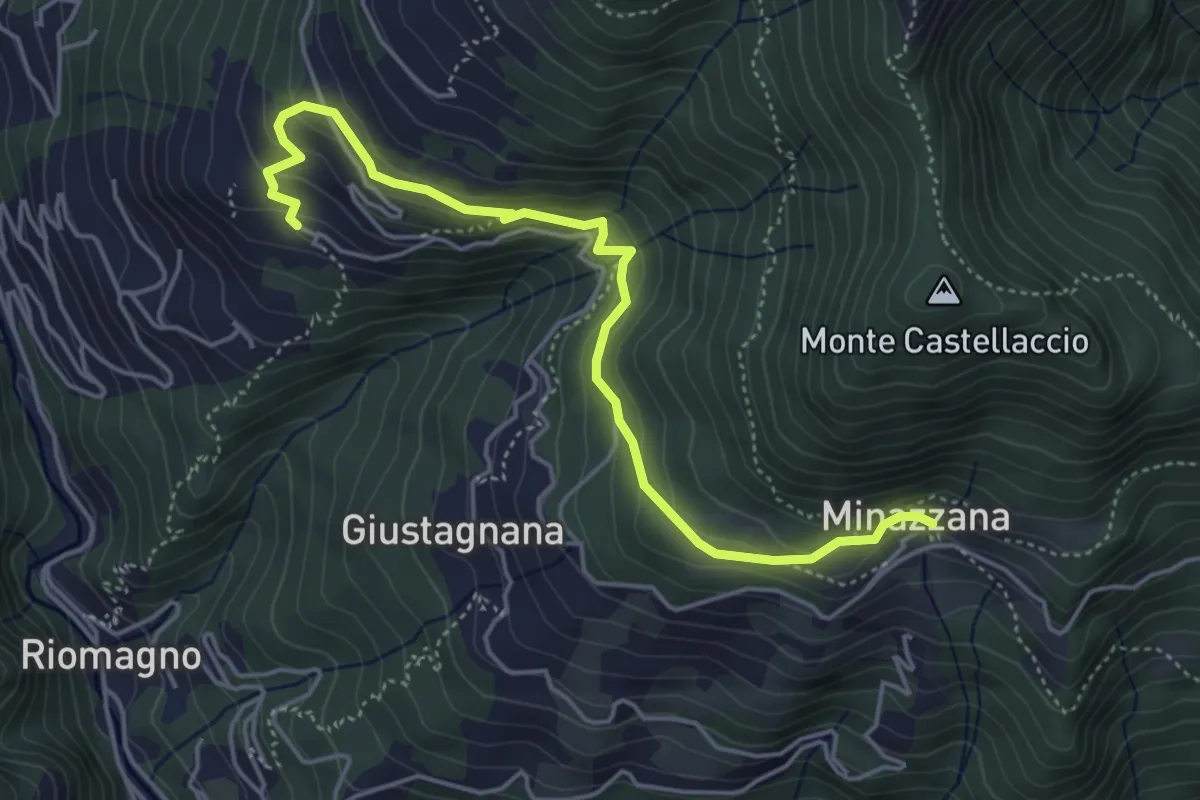
Easy · Trail
Sentiero Alta Versilia - Tappa 02
5.2 km · ↑ 291 m · 1 h 52 min · 6 km away
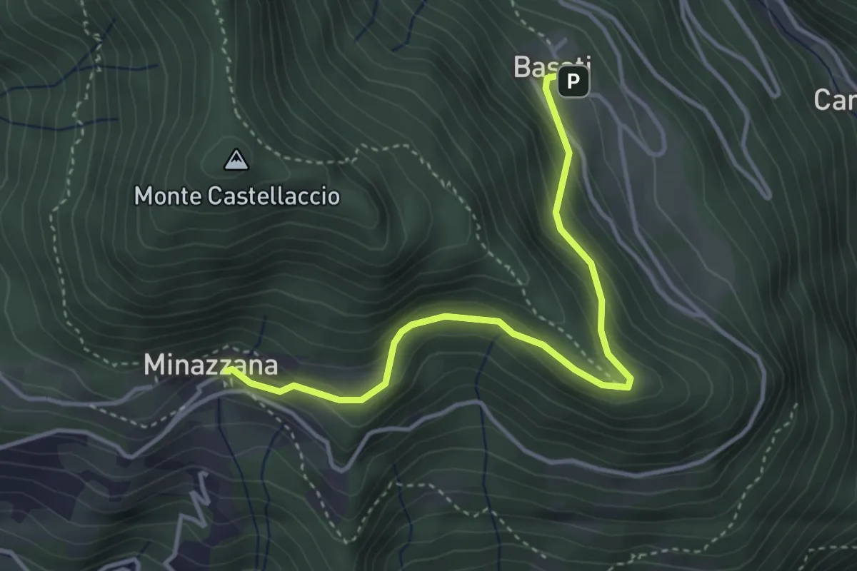
Easy · Trail
Sentiero Alta Versilia - Tappa 03
4.0 km · ↑ 224 m · 1 h 26 min · 6 km away
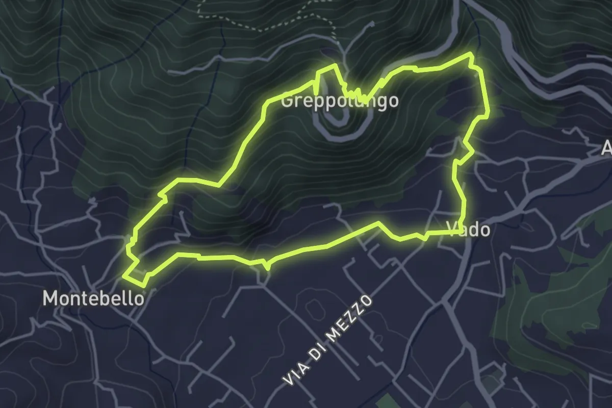
Easy · Trail
ANELLO 4 - VADO - GREPPOLUNGO - MONTEBELLO - VADO
4.4 km · ↑ 304 m · 1 h 46 min · 6 km away
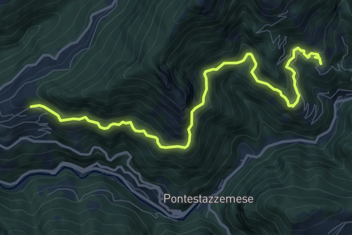
Demanding · Trail
Sentiero Alta Versilia - Tappa 07
10.5 km · ↑ 950 m · 4 h 32 min · 6 km away
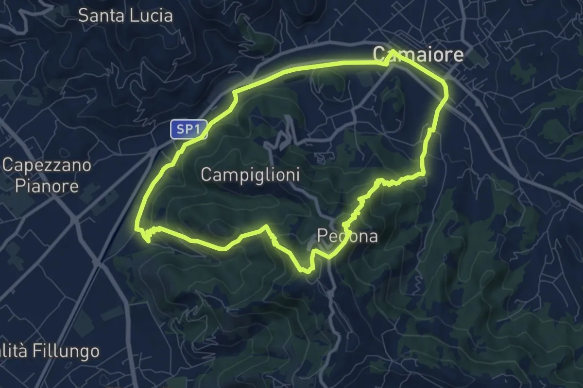
Medium · Trail
ANELLO 10 - CAMAIORE - PEDONA - CAMAIORE
8.7 km · ↑ 327 m · 2 h 53 min · 6 km away
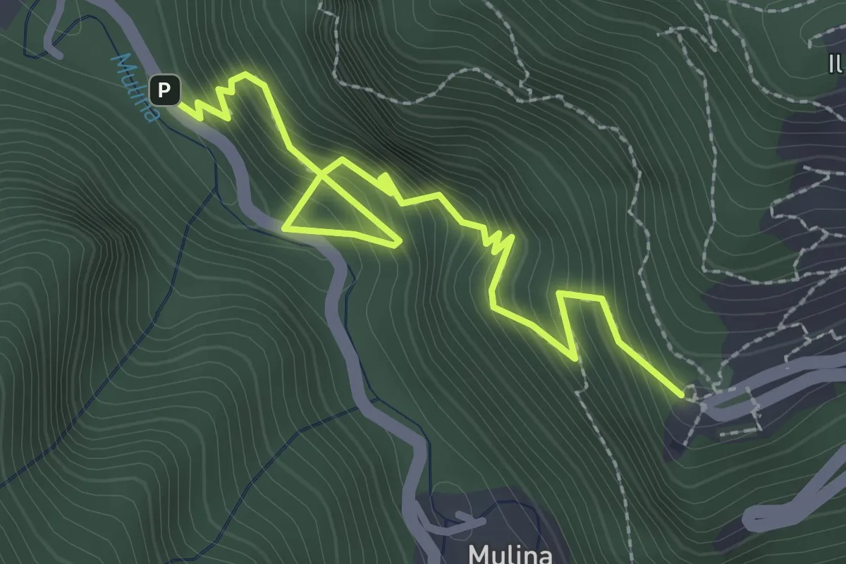
Medium · Trail
Sentiero del Santuario del Piastraio
3.1 km · ↑ 393 m · 1 h 35 min · 7 km away
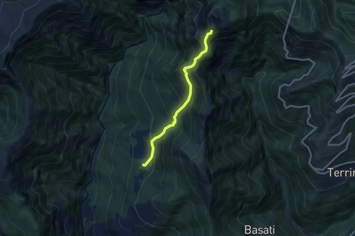
Medium · Trail
Azzano – Cava delle Cervaiole
5.7 km · ↑ 701 m · 2 h 52 min · 7 km away
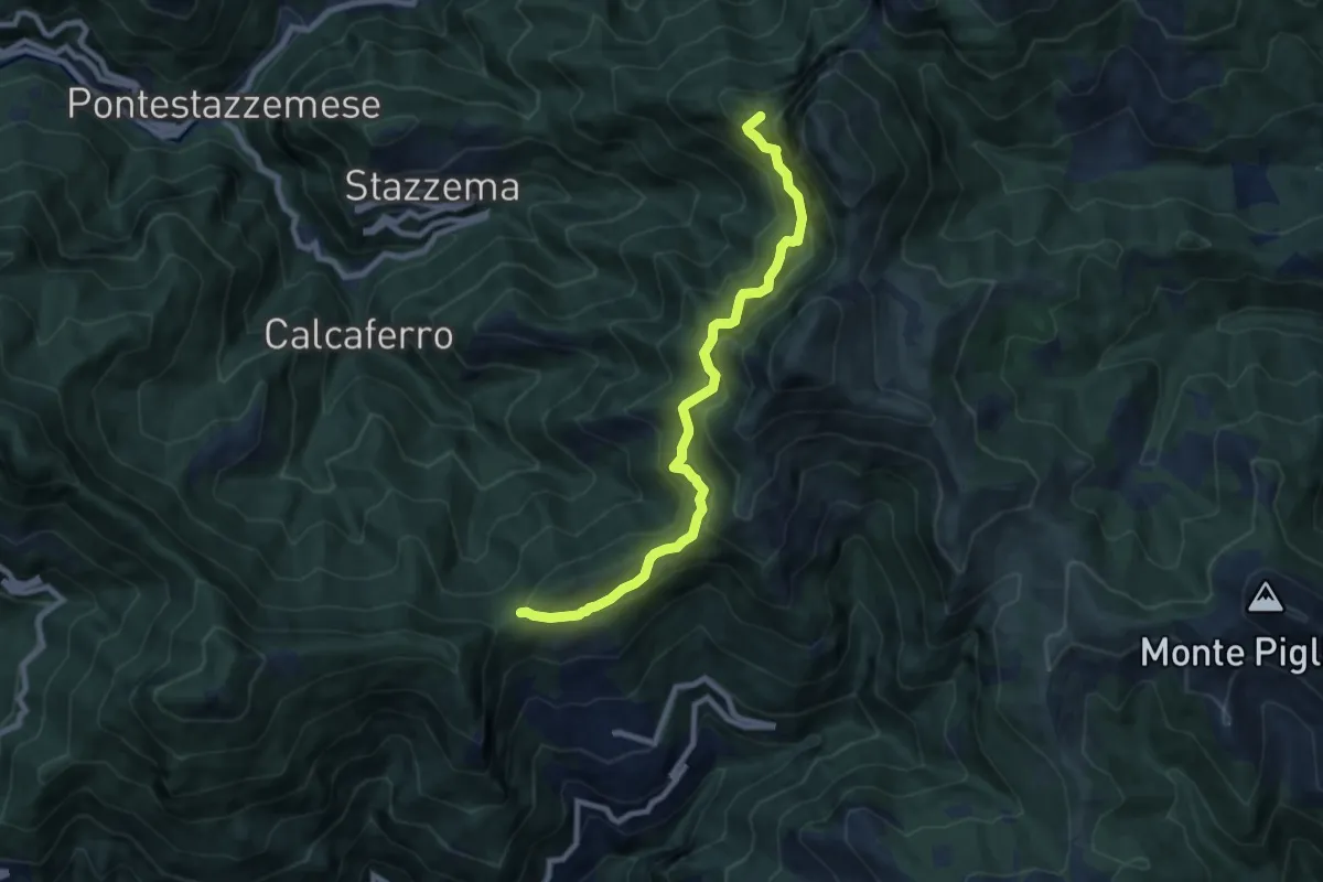
Demanding · Summit
Foce di San Rocchino – Fonte di Moscoso
8.8 km · ↑ 1035 m · 4 h 19 min · 7 km away
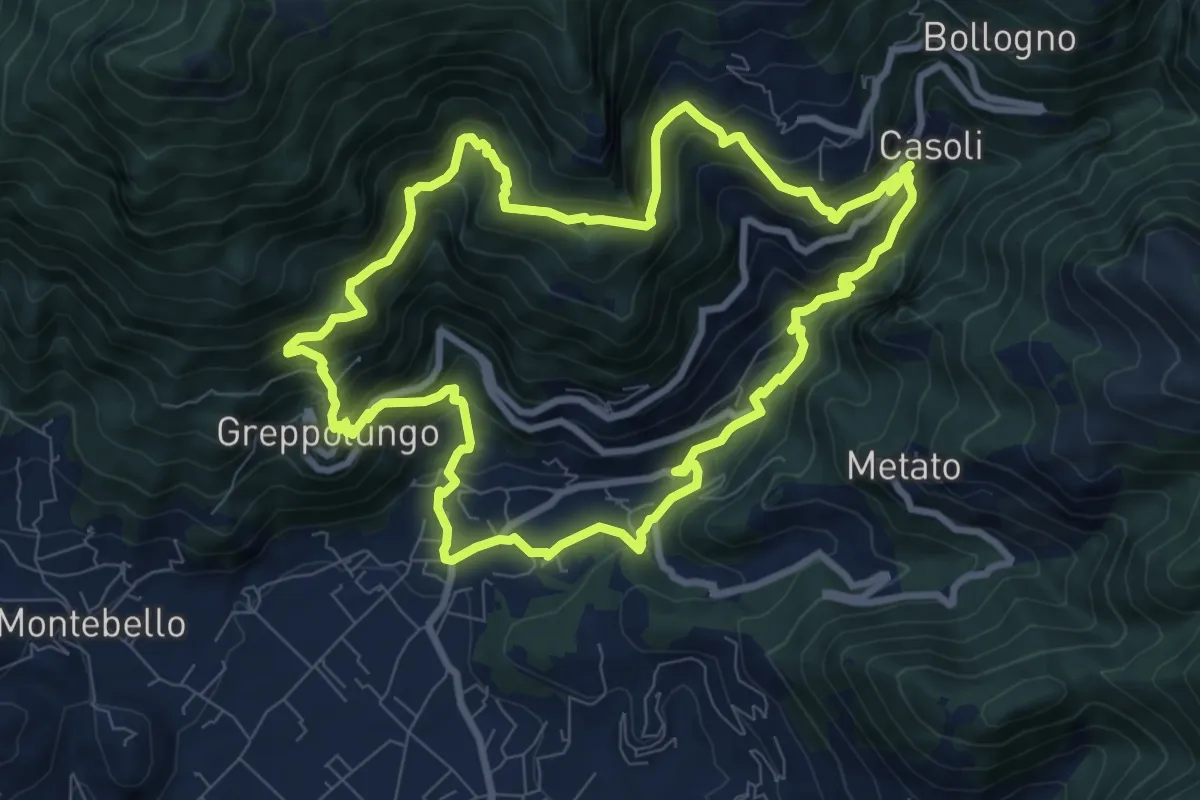
Medium · Trail
ANELLO 8 - CASOLI - BACINO DI SETRIANA - GREPPOLUNGO - CASOLI
9.4 km · ↑ 709 m · 3 h 53 min · 7 km away
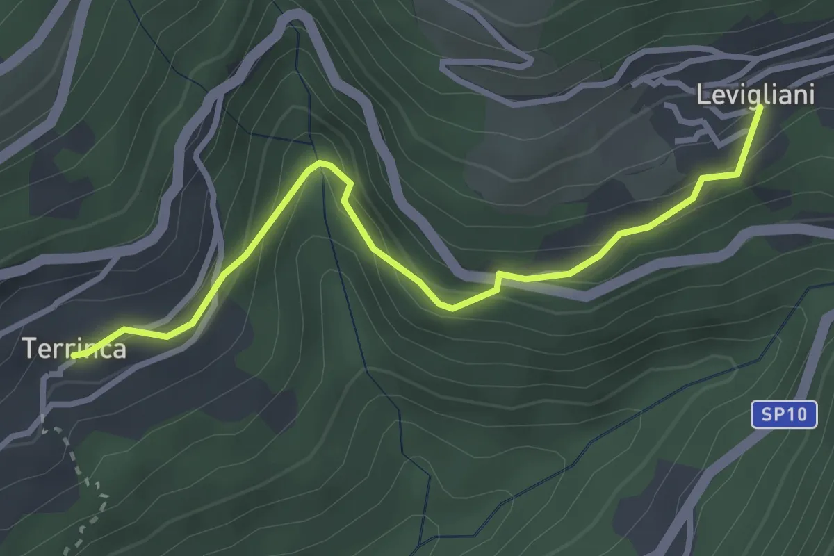
Easy · Trail
Sentiero Alta Versilia - Tappa 05
3.2 km · ↑ 205 m · 1 h 12 min · 7 km away
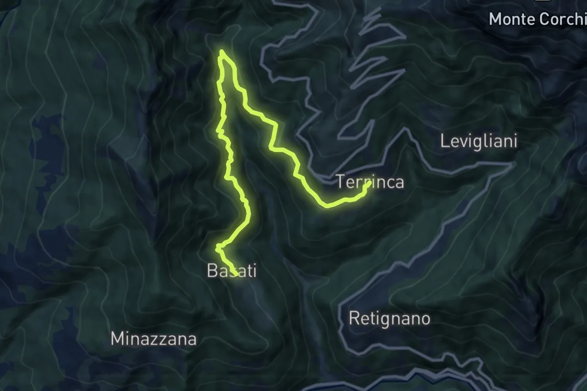
Medium · Trail
Sentiero Alta Versilia - Tappa 04
11.4 km · ↑ 758 m · 4 h 20 min · 7 km away
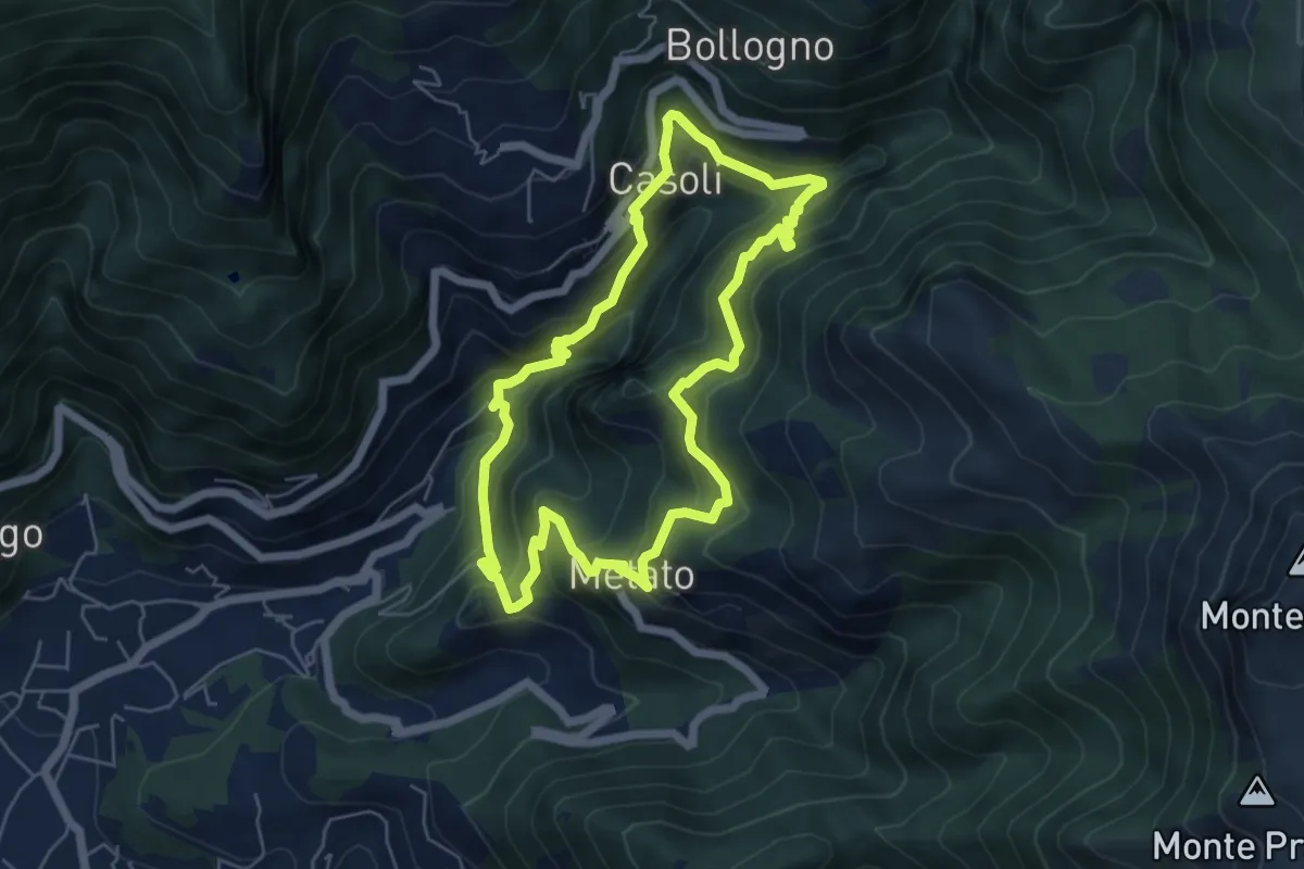
Medium · Summit
ANELLO 7 - CANDALLA - CASOLI - METATO - CANDALLA
5.7 km · ↑ 487 m · 2 h 28 min · 7 km away
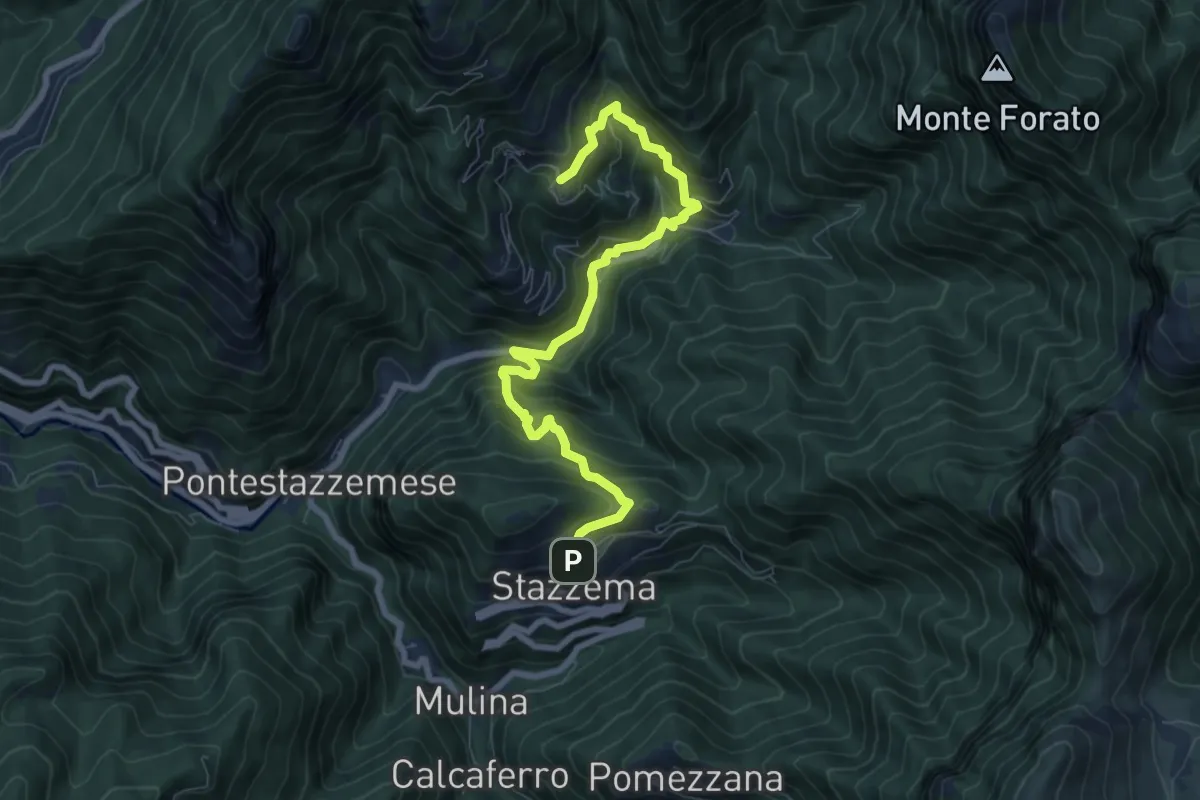
Medium · Trail
Sentiero Alta Versilia - Tappa 08
8.5 km · ↑ 644 m · 3 h 25 min · 7 km away
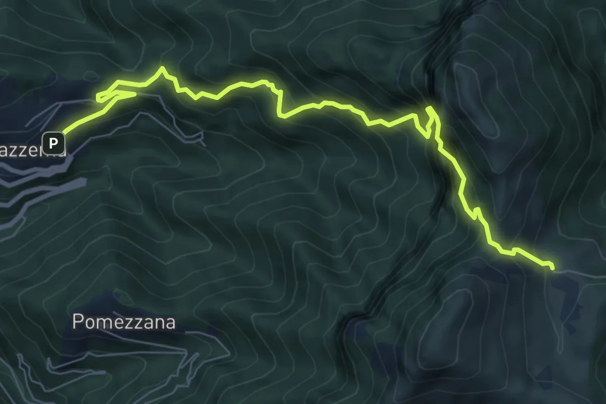
Demanding · Cabin
Stazzema – Rifugio Alto Matanna
8.6 km · ↑ 1295 m · 4 h 50 min · 7 km away
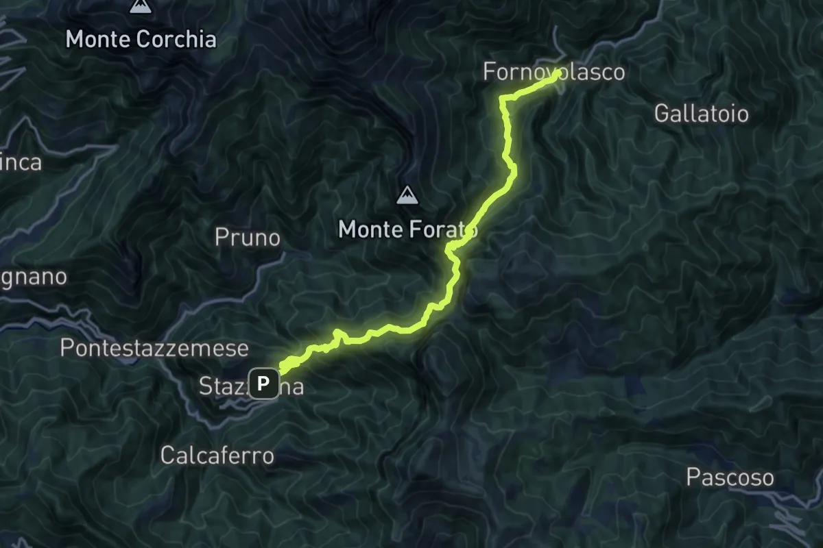
Demanding · Trail
Stazzema – Fornovolasco
15.4 km · ↑ 1229 m · 6 h 17 min · 7 km away
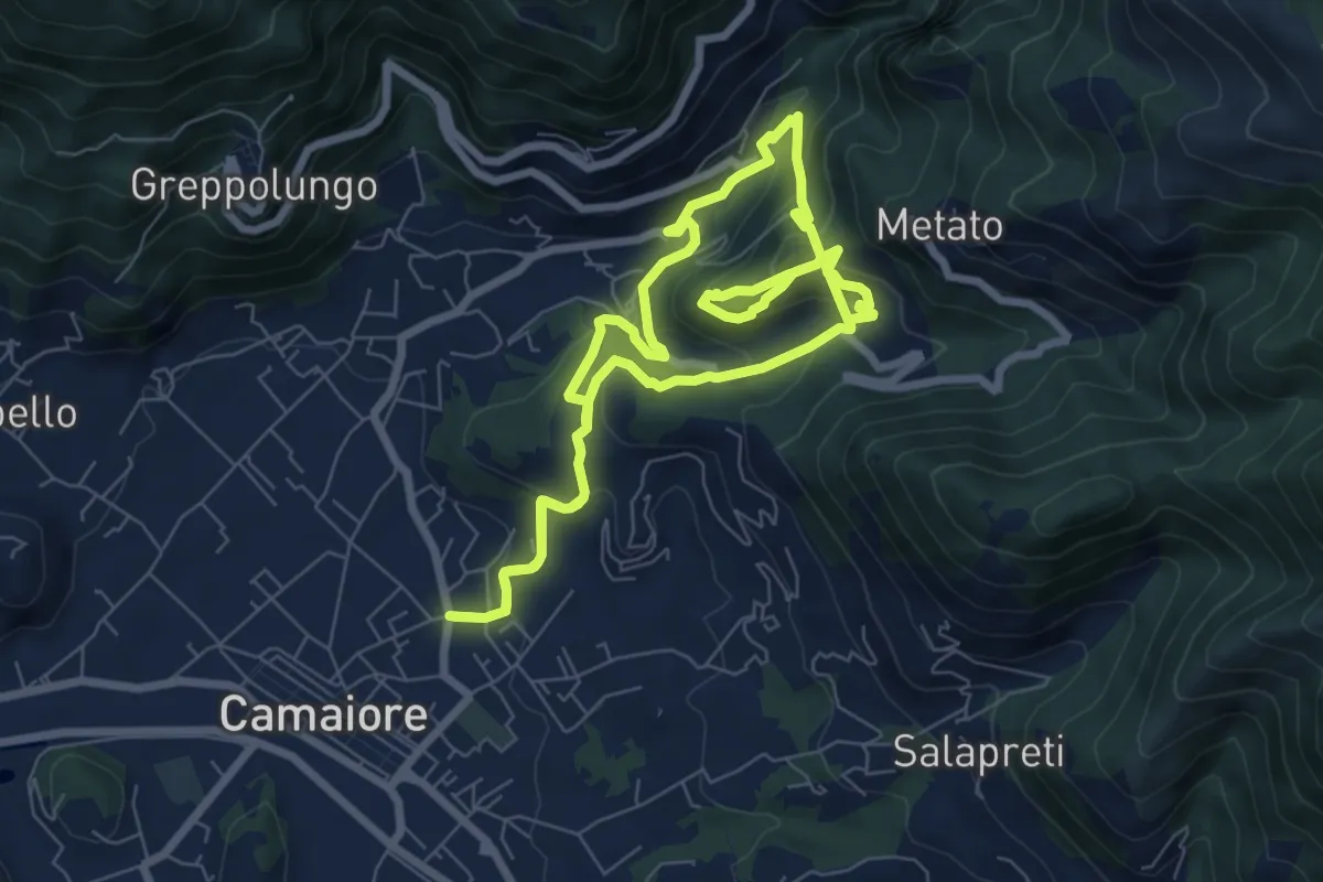
Demanding · Trail
ANELLO 5 - BADIA - MONTECASTRESE - BADIA
14.9 km · ↑ 825 m · 5 h 18 min · 7 km away
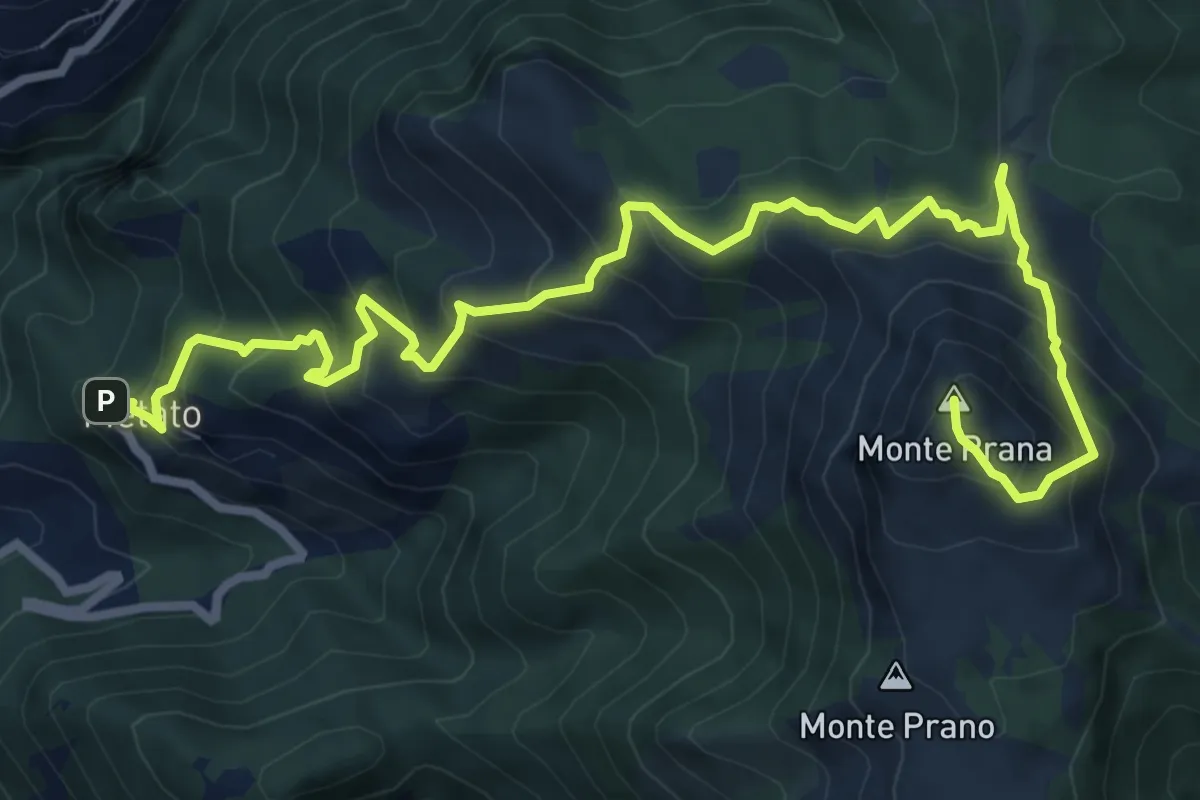
Demanding · Summit
Metato – Monte Prana
10.4 km · ↑ 1001 m · 4 h 38 min · 8 km away
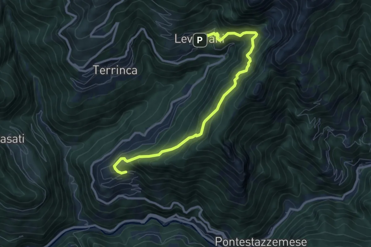
Demanding · Trail
Sentiero Alta Versilia - Tappa 06
8.4 km · ↑ 831 m · 3 h 47 min · 8 km away
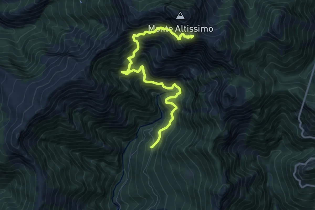
Demanding · Trail
Azzano (Cancello Cava Henreux) – Foce dell'Onda (Monte Altissimo)
9.6 km · ↑ 1647 m · 5 h 50 min · 8 km away
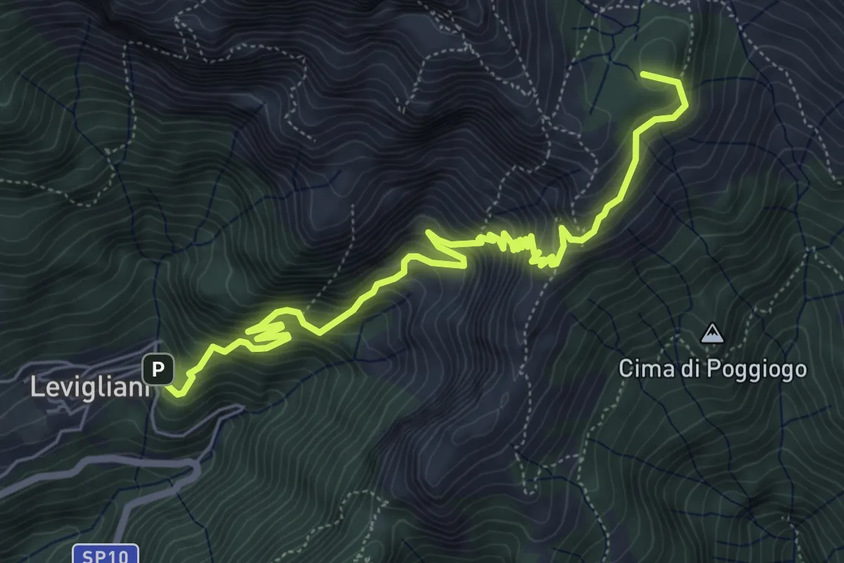
Demanding · Summit
Levigliani – Foce di Mosceta
7.5 km · ↑ 977 m · 3 h 53 min · 8 km away
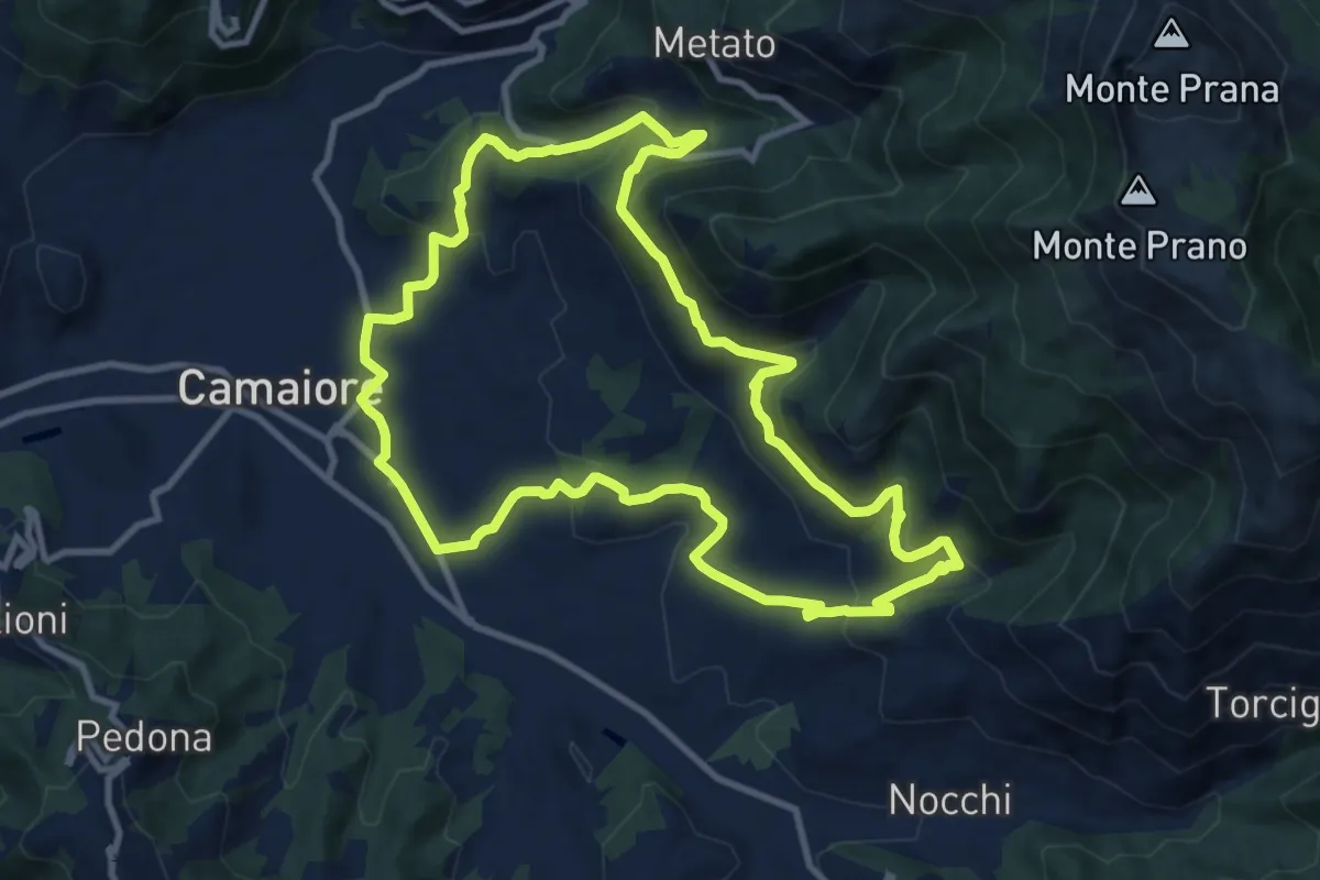
Medium · Trail
ANELLO 9 - BADIA DI CAMAIORE - PERALLA - PIEVE - BADIA DI CAMAIORE
11.0 km · ↑ 487 m · 3 h 49 min · 8 km away
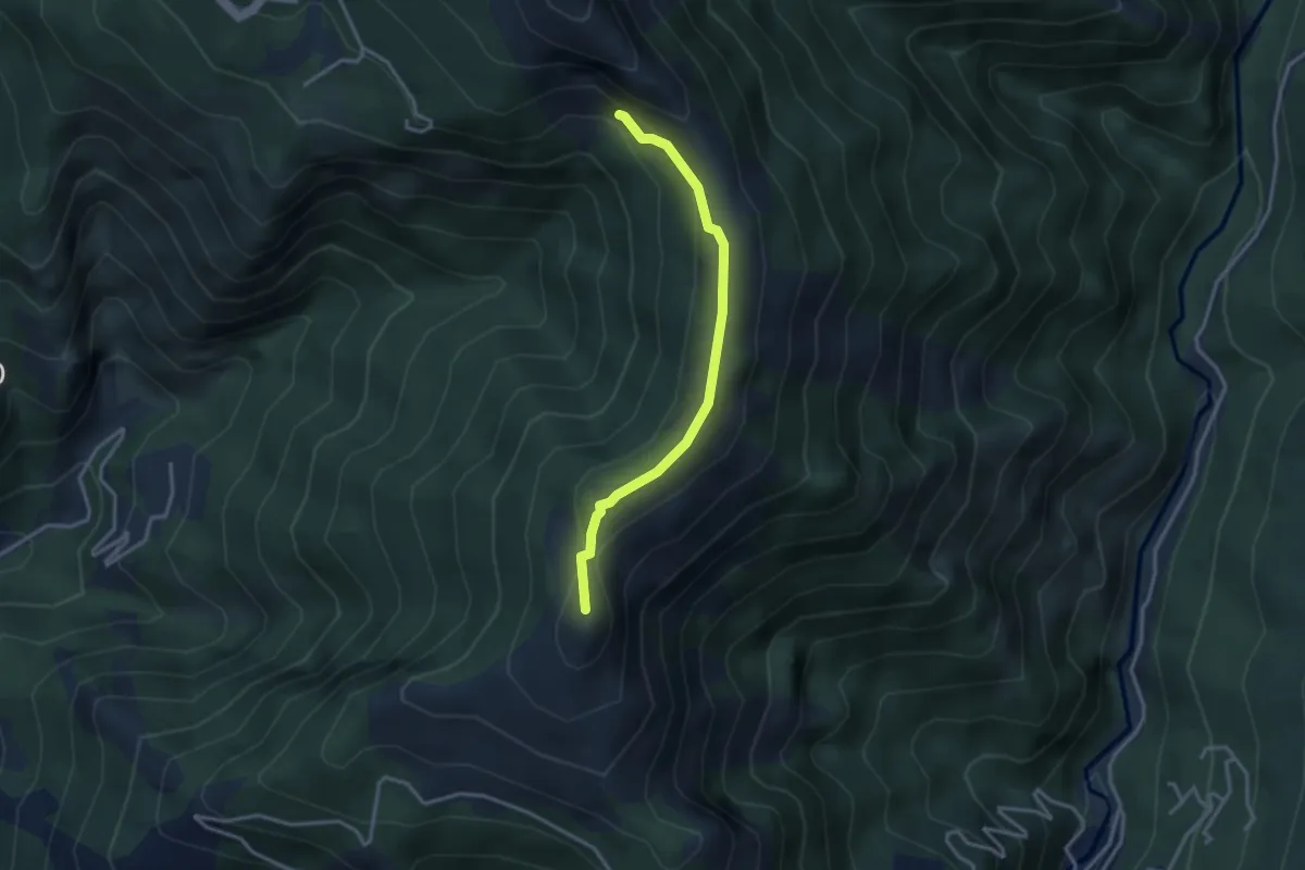
Medium · Summit
El Loco de la Santa – Bivio ravaneto
3.1 km · ↑ 103 m · 57 min · 8 km away
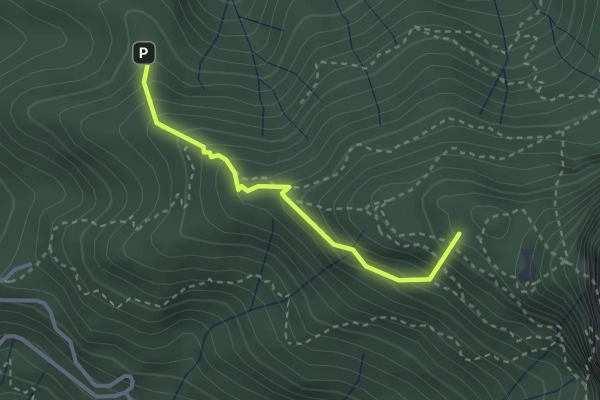
Medium · Summit
Stazzema – Alpe della Grotta
2.5 km · ↑ 285 m · 1 h 12 min · 9 km away
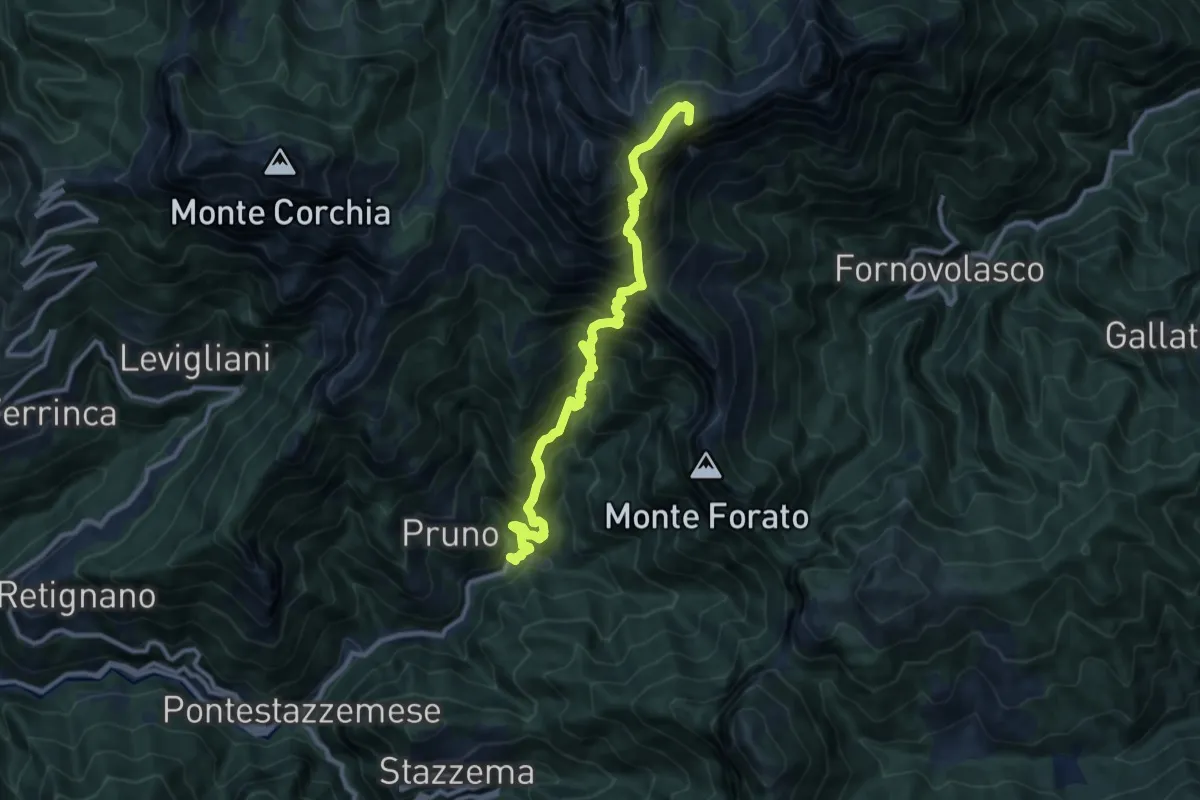
Demanding · Summit
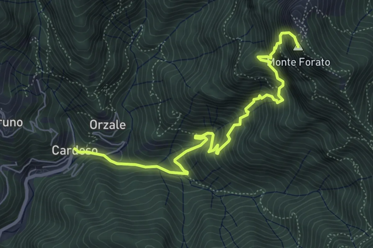
Cardoso – Piglionico
11.5 km · ↑ 1699 m · 6 h 24 min · 9 km away
Demanding · Summit
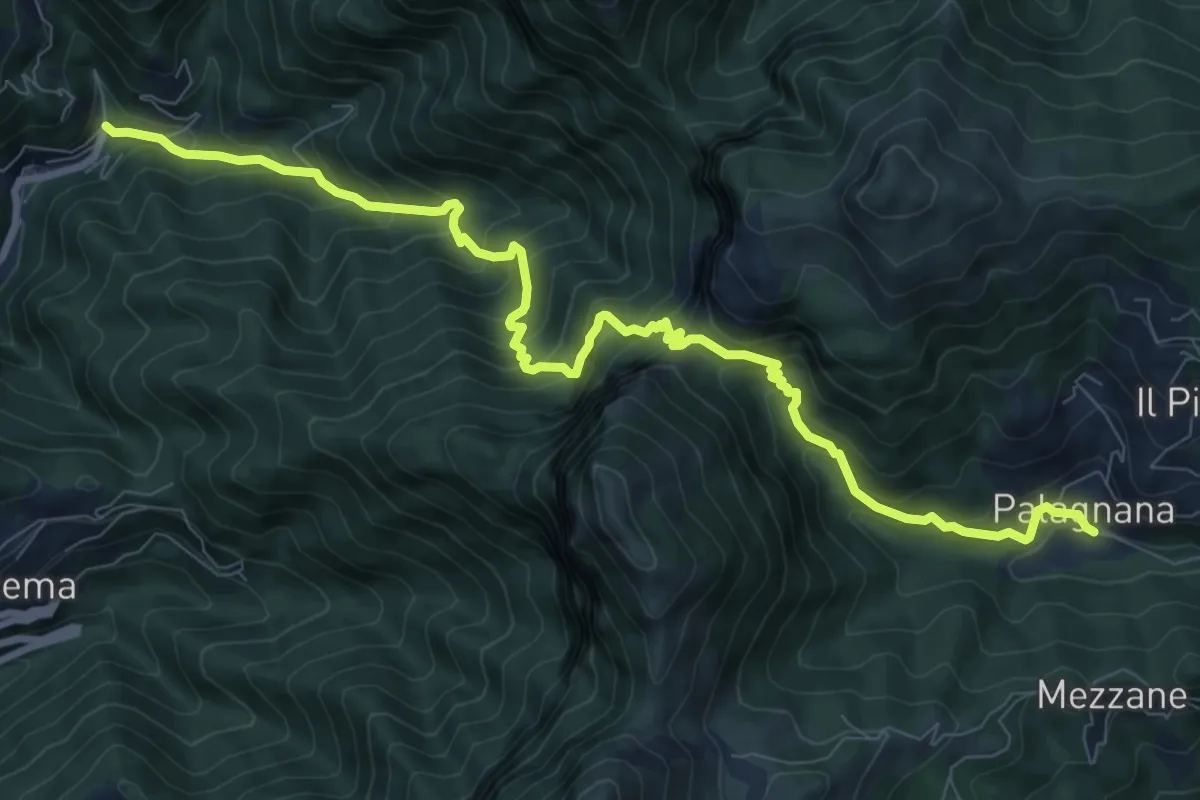
Cardoso – Fornovolasco
6.7 km · ↑ 965 m · 3 h 41 min · 9 km away
Demanding · Trail
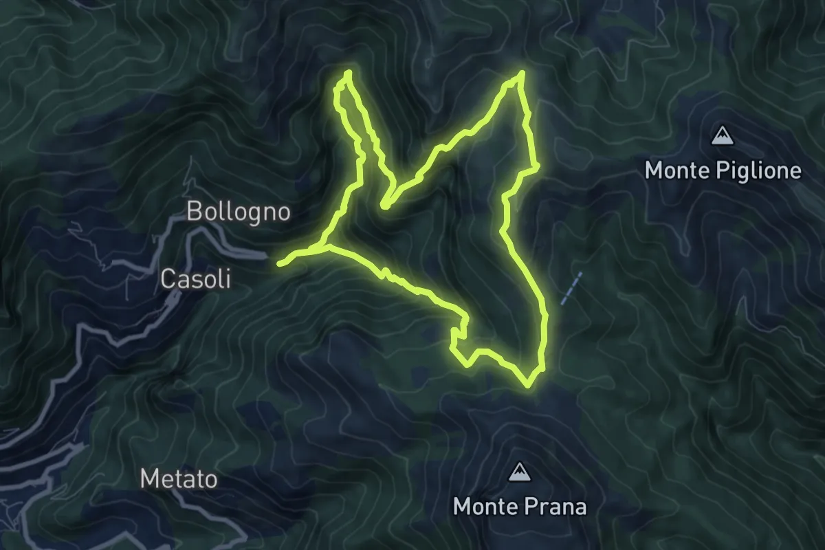
Cardoso – Palagnana
10.8 km · ↑ 1052 m · 4 h 50 min · 9 km away
Medium · Summit
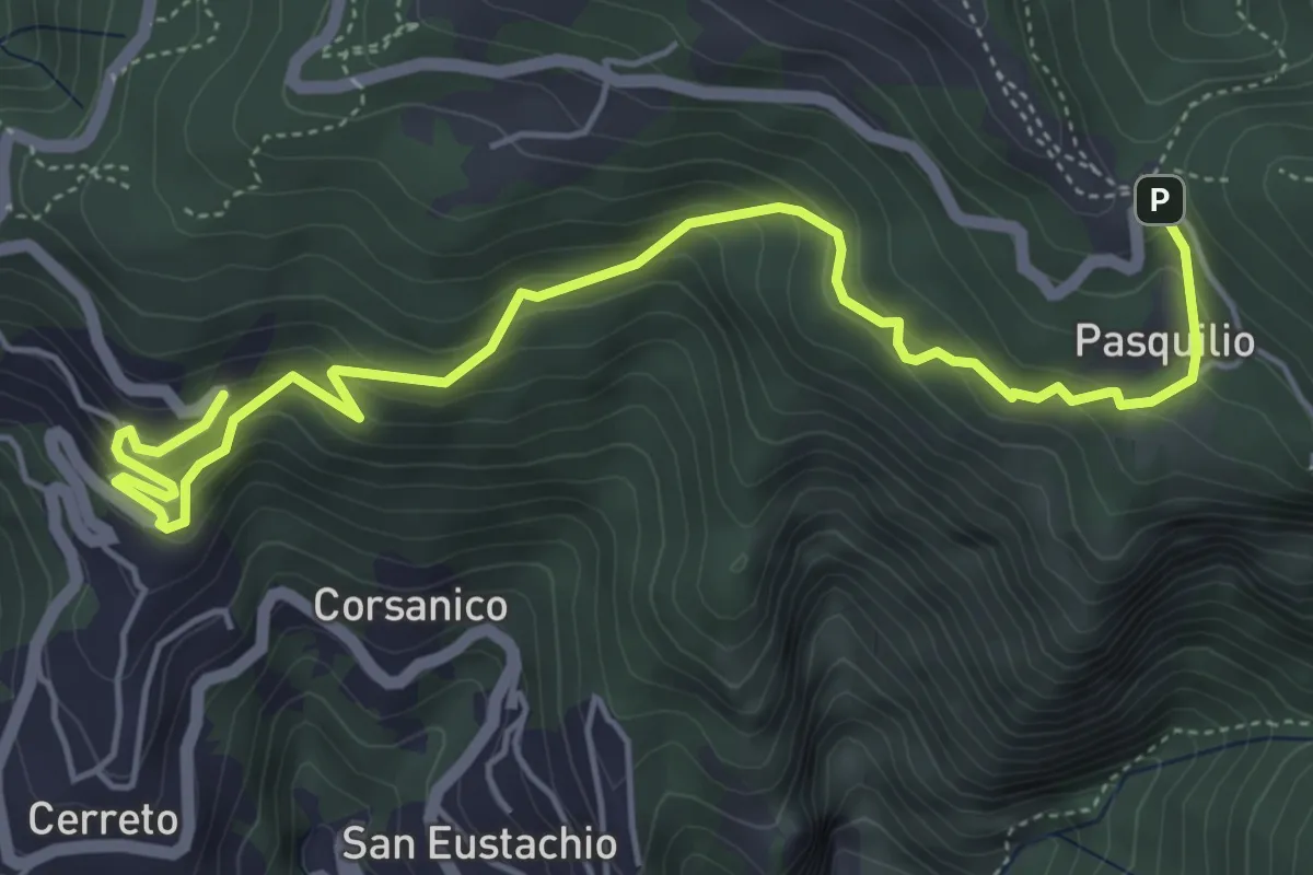
ANELLO 6 - CASOLI - FOCE DEL PALLONE - CASOLI
8.5 km · ↑ 746 m · 3 h 45 min · 9 km away
Medium · Trail
Via delle Fonti 12 - Vicinale della Pianaccia
6.6 km · ↑ 485 m · 2 h 36 min · 9 km away
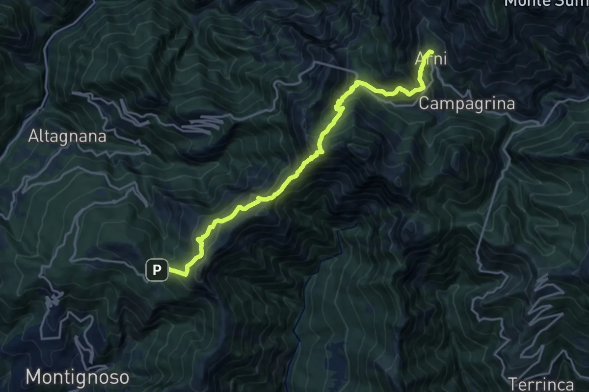
Demanding · Trail
Pasquilio – Arni
15.3 km · ↑ 1323 m · 6 h 29 min · 9 km away
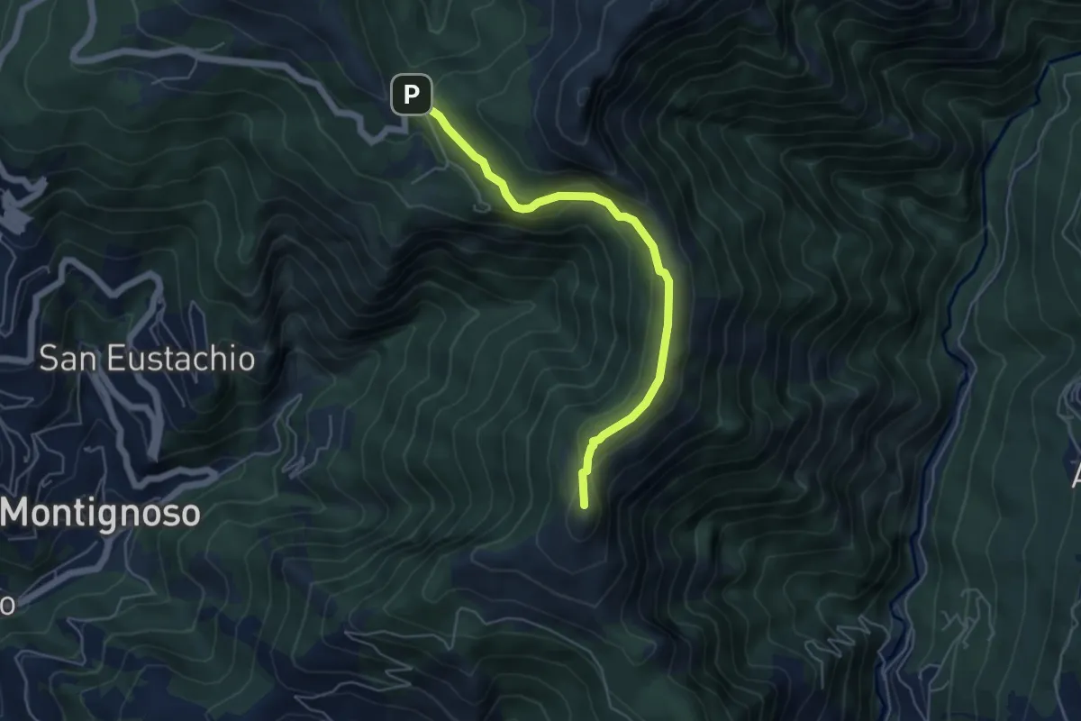
Medium · Summit
Via delle Fonti 4 - Comunale di Col di Melo
5.2 km · ↑ 175 m · 1 h 36 min · 9 km away
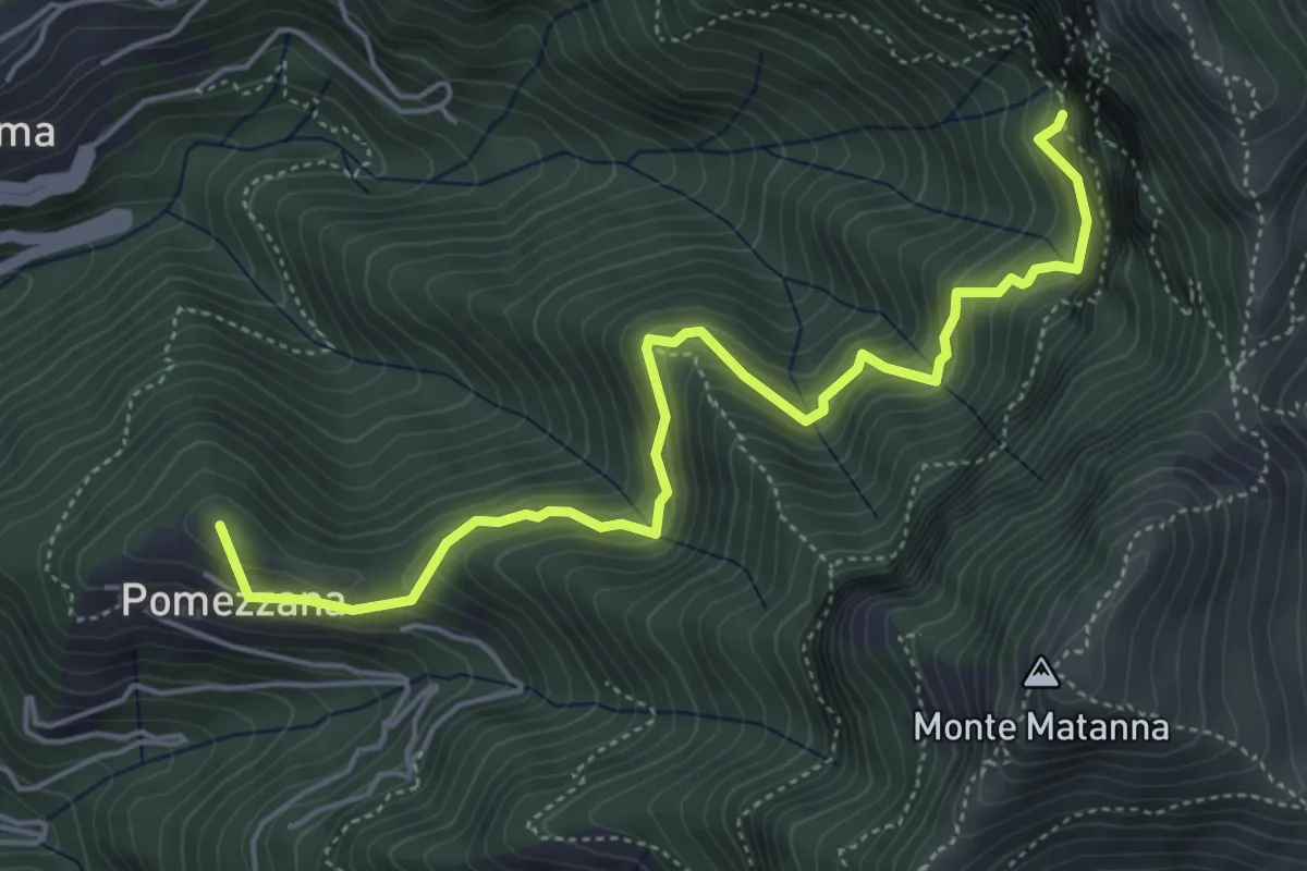
Medium · Summit
Tre Scolli – Rifugio Forte dei Marmi
5.7 km · ↑ 693 m · 2 h 51 min · 9 km away
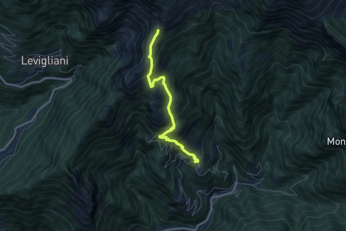
Medium · Trail
Pruno – Passo dell'Alpino
5.5 km · ↑ 611 m · 2 h 37 min · 9 km away