Trails near Pietrasanta
134 hikes starting within 15 km, nearest first.
Nearest first, page 2 of 3
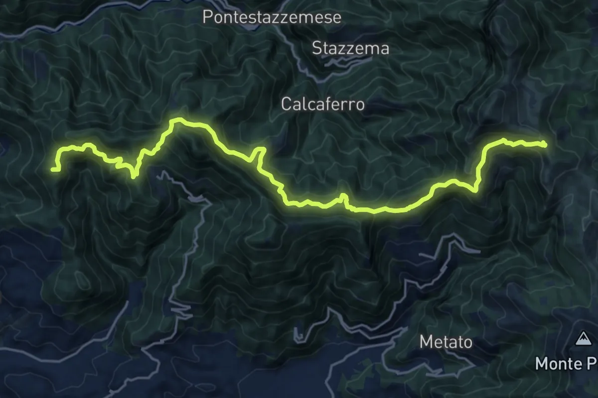
Demanding · Summit
Capezzano Monte – Foce del Pallone
22.6 km · ↑ 1680 m · 8 h 59 min · 9 km away
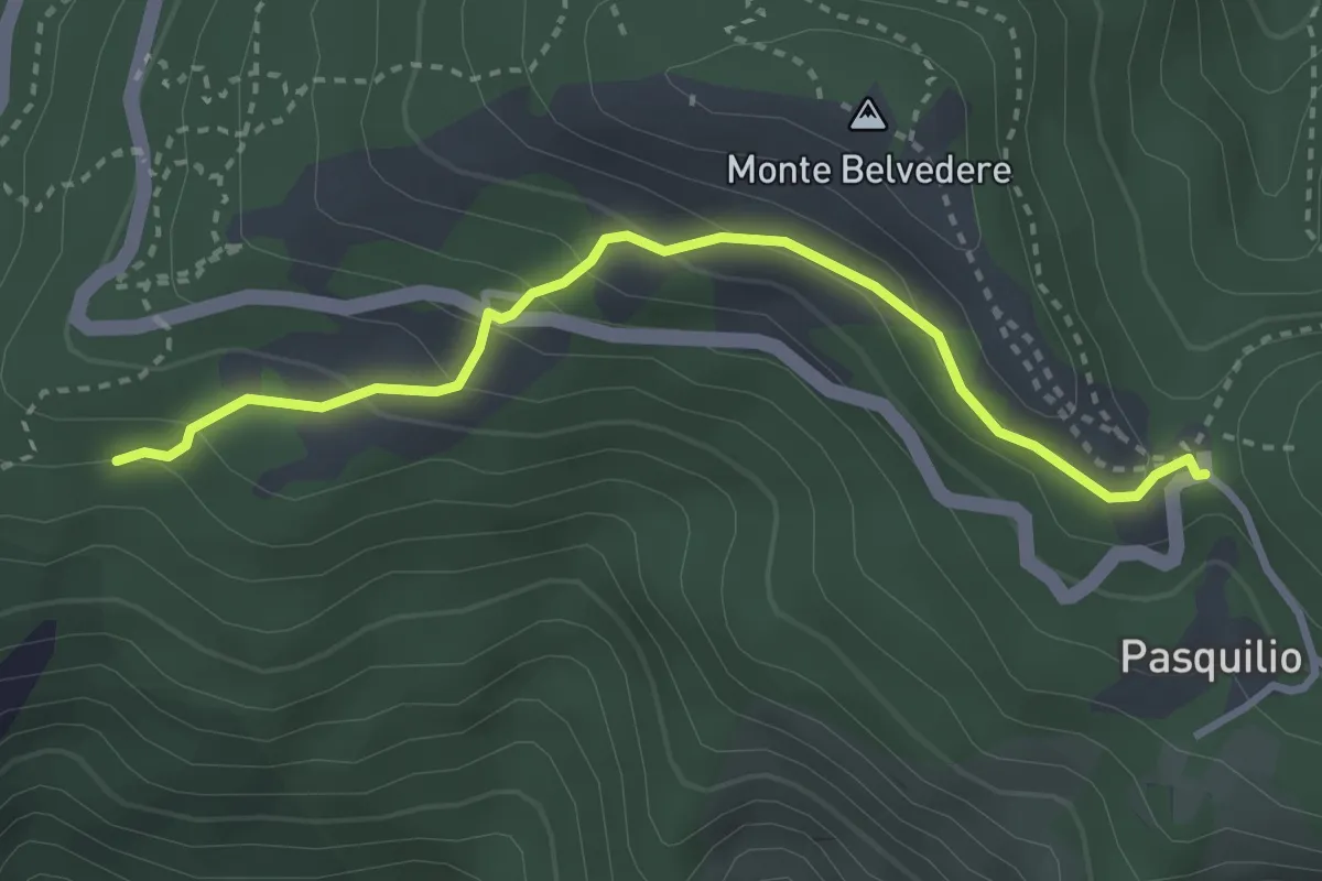
Easy · Trail
Via delle Fonti 10 - Comunale da Massa al Pasquilio
3.4 km · ↑ 183 m · 1 h 12 min · 10 km away
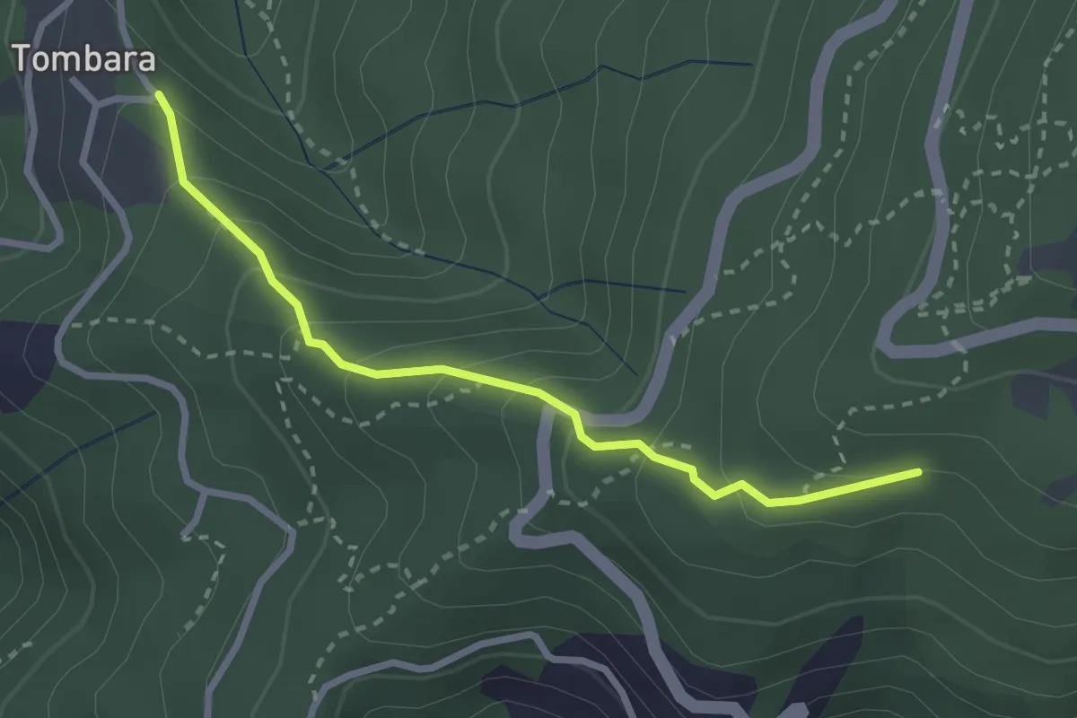
Easy · Trail
Via delle Fonti 9 - Vicinale del Marciadrino
2.8 km · ↑ 240 m · 1 h 10 min · 10 km away
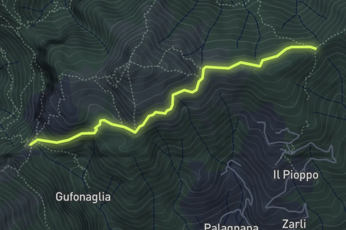
Demanding · Trail
Foce delle Porchette – Il Termine di Palagnana
5.1 km · ↑ 299 m · 1 h 51 min · 10 km away
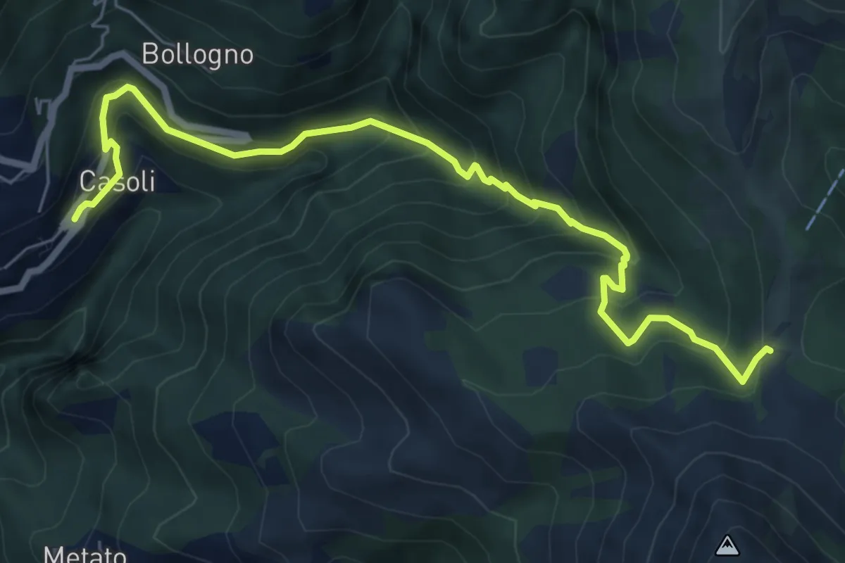
Medium · Trail
Casoli – Focetta di San Vincenzo
7.5 km · ↑ 672 m · 3 h 13 min · 10 km away
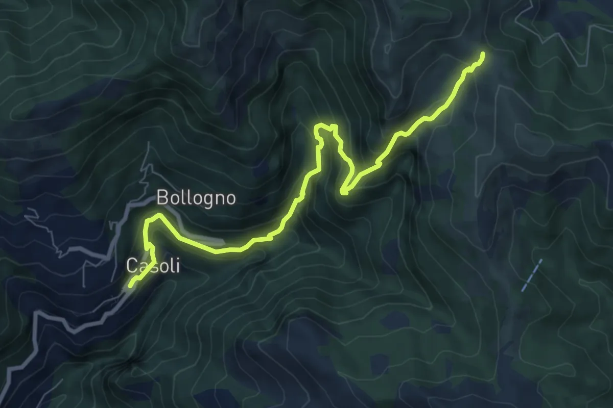
Demanding · Trail
Casoli – Foce del Crocione o del Termine
8.5 km · ↑ 839 m · 3 h 50 min · 10 km away
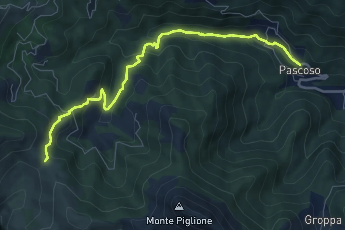
Medium · Trail
Casoli – Pascoso
7.5 km · ↑ 378 m · 2 h 35 min · 10 km away
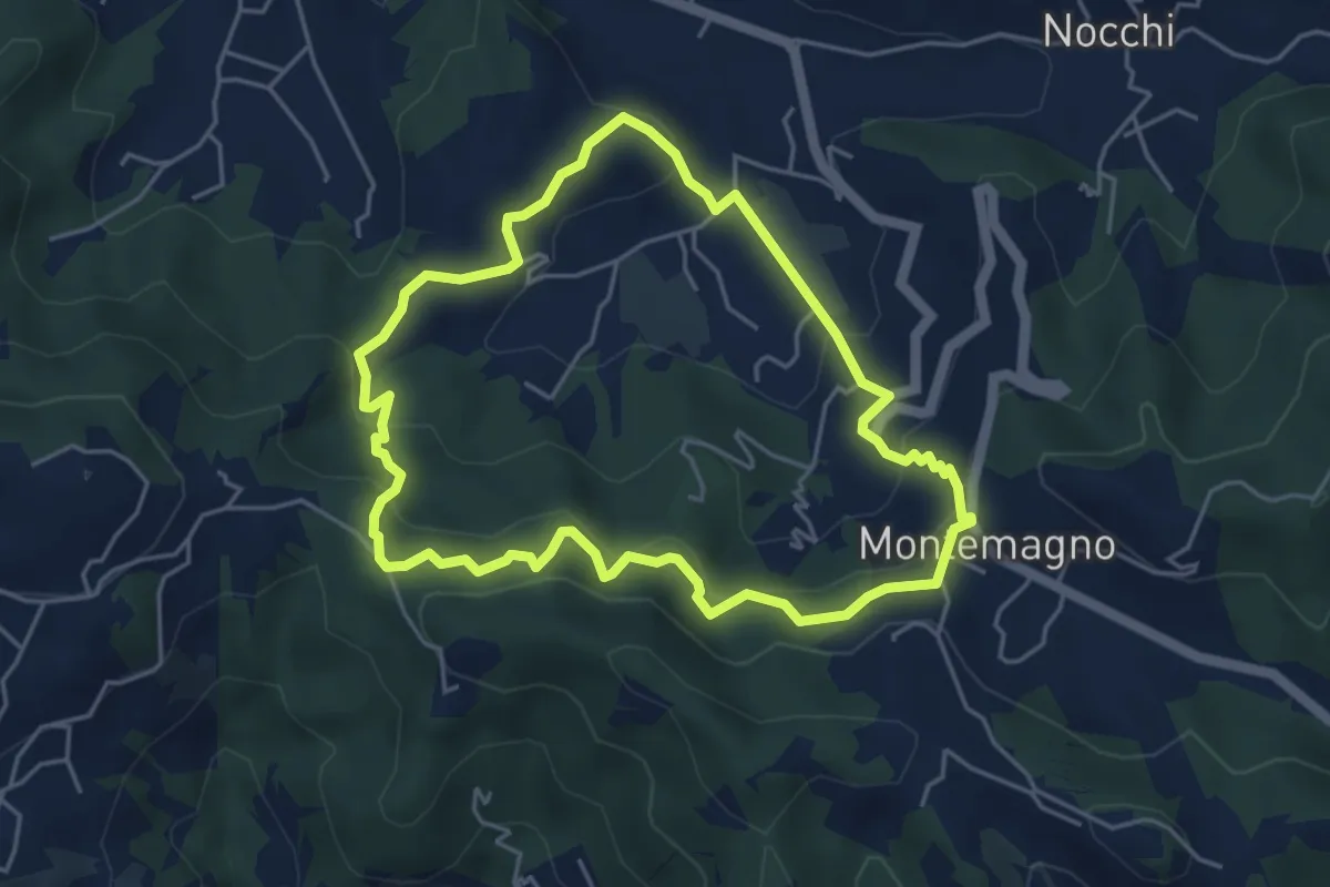
Easy · Trail
ANELLO 12 - PONTEMAZZORI - MONTEMAGNO - PONTEMAZZORI
4.8 km · ↑ 275 m · 1 h 48 min · 10 km away
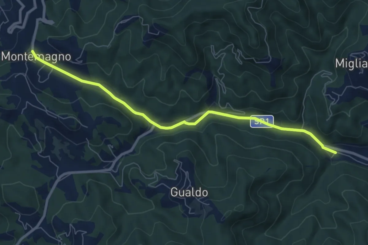
Easy · Pilgrim path
Via Francigena - Variante
3.5 km · ↑ 9 m · 56 min · 10 km away
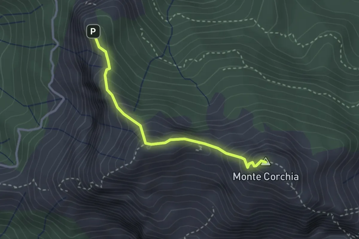
Demanding · Summit
Cresta del Monte Corchia
2.6 km · ↑ 263 m · 1 h 12 min · 10 km away
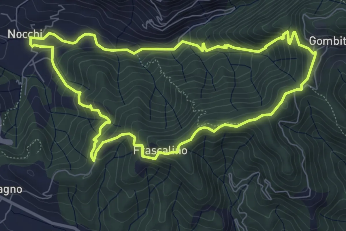
Medium · Trail
ANELLO 11 - NOCCHI - GOMBITELLI - MONTEMAGNO - NOCCHI
6.6 km · ↑ 420 m · 2 h 34 min · 10 km away
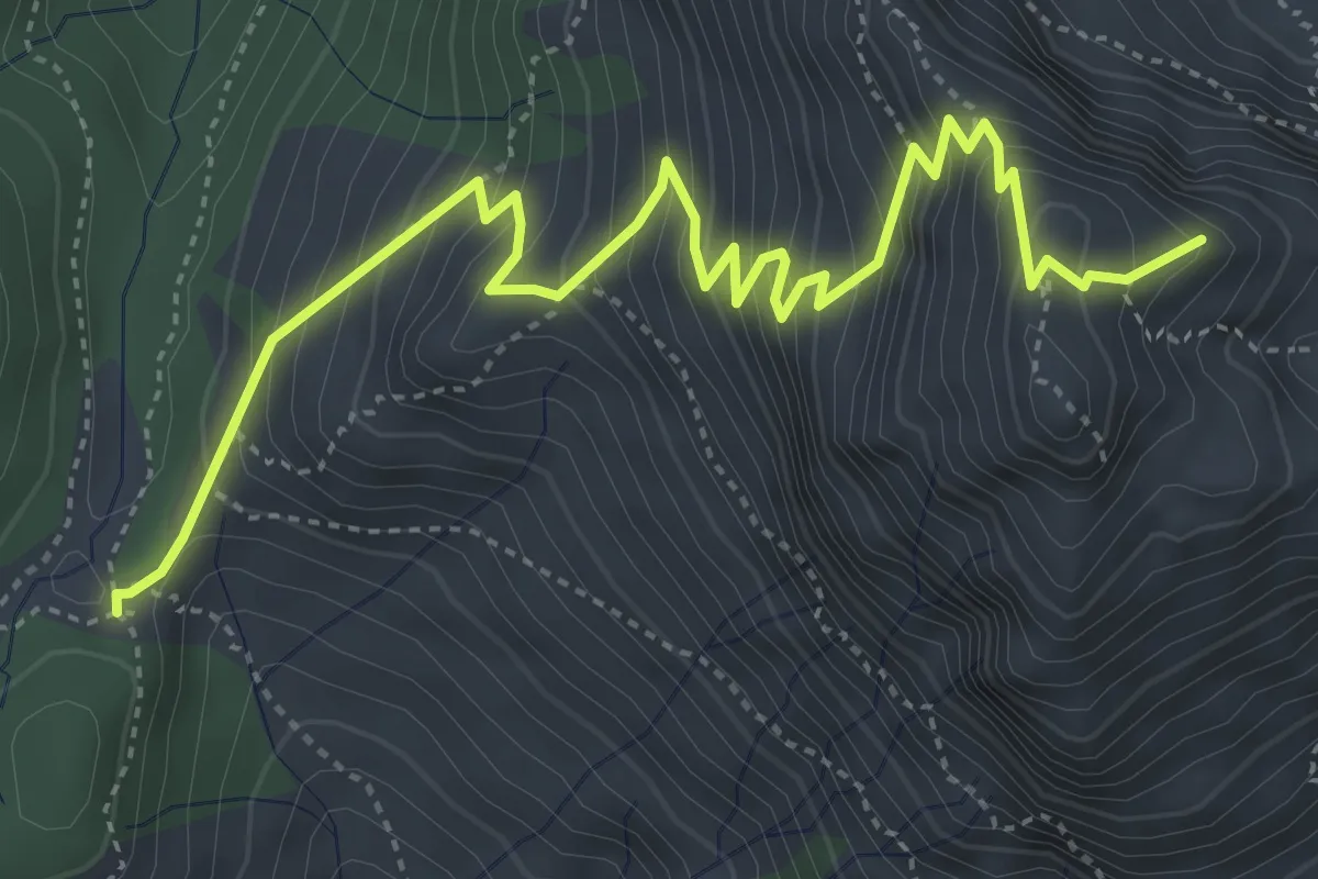
Medium · Summit
Foce di Mosceta – Focetta del Puntone
5.8 km · ↑ 728 m · 2 h 57 min · 10 km away
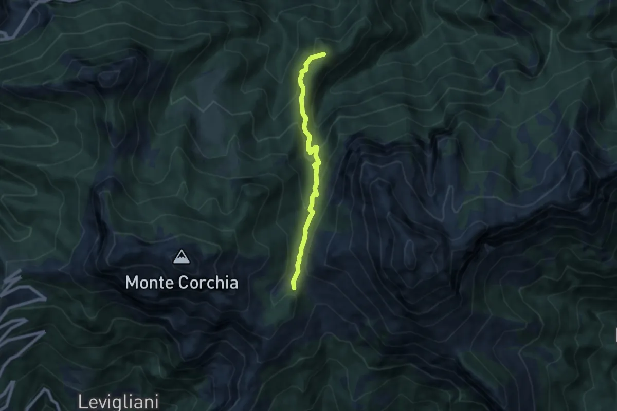
Medium · Summit
Foce di Mosceta – Isola Santa
6.0 km · ↑ 470 m · 2 h 26 min · 10 km away
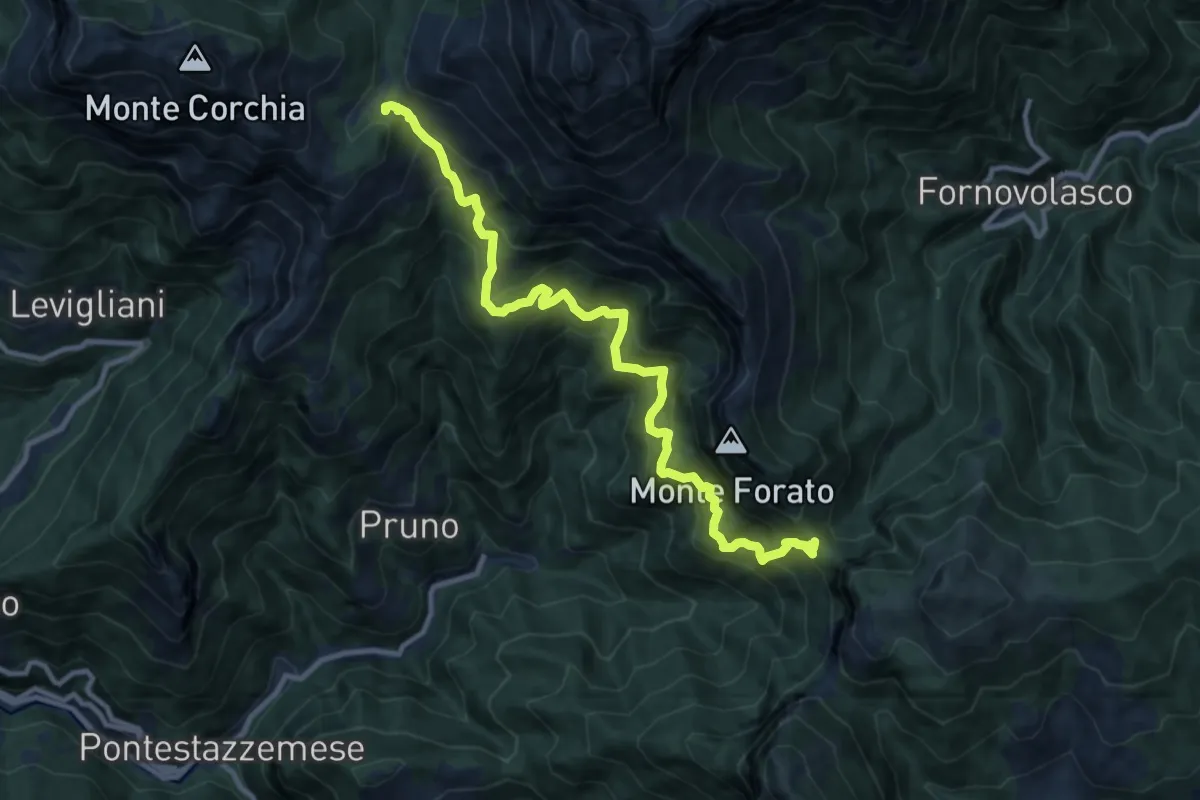
Demanding · Trail
Foce di Mosceta – Foce di Petrosciana
11.8 km · ↑ 1248 m · 5 h 29 min · 10 km away
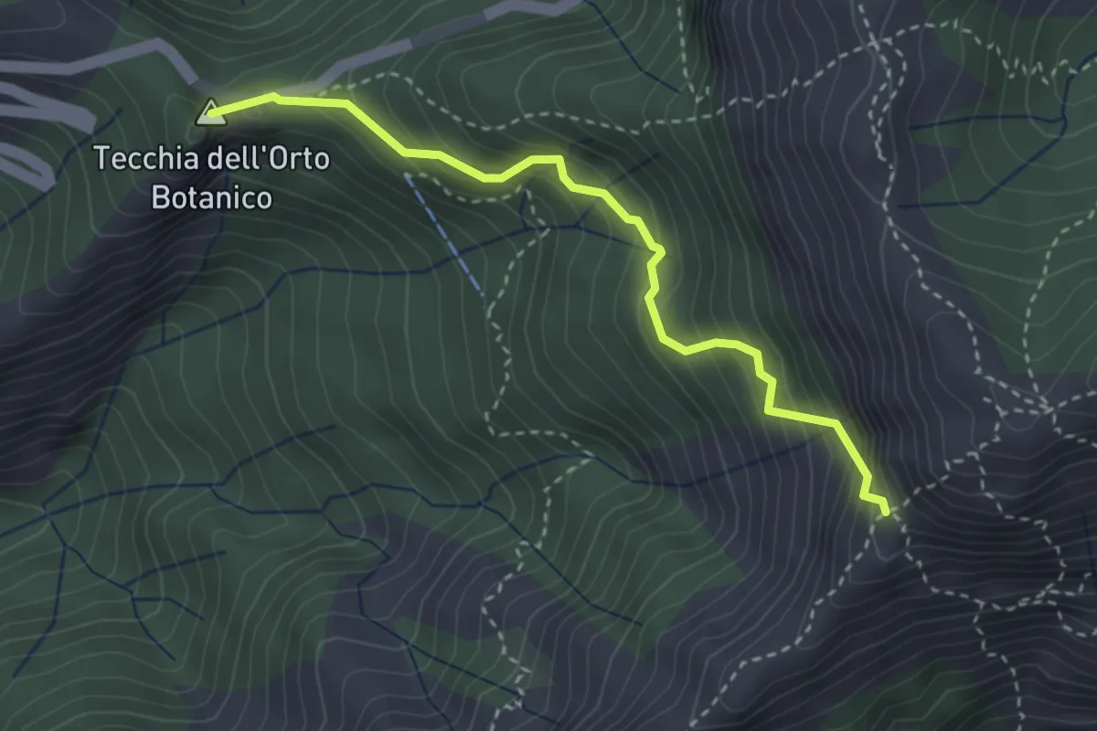
Medium · Summit
Colle della Tecchia – Passo della Greppia
3.3 km · ↑ 414 m · 1 h 40 min · 10 km away
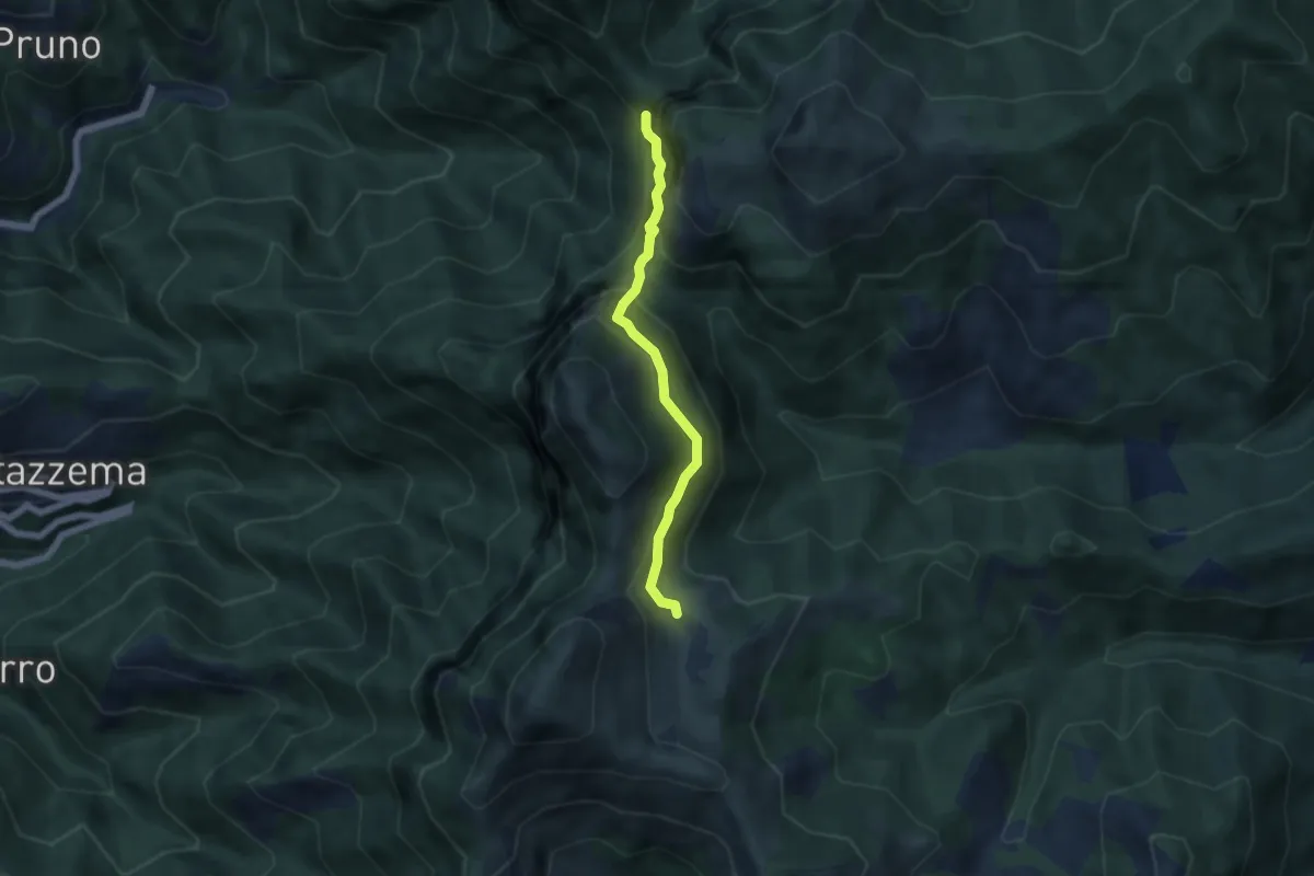
Demanding · Cabin
Rifugio Alto Matanna – Sentiero 6
5.0 km · ↑ 338 m · 1 h 55 min · 10 km away
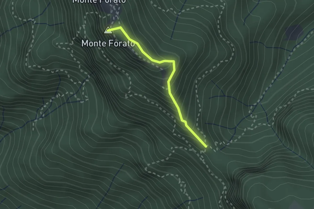
Demanding · Summit
Foce di Petrosciana – Foce di Valli
1.9 km · ↑ 225 m · 56 min · 10 km away
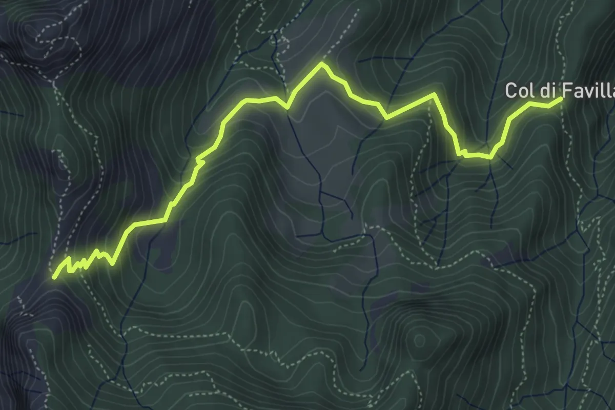
Medium · Trail
Fociomboli – Col di Favilla
6.3 km · ↑ 461 m · 2 h 29 min · 10 km away
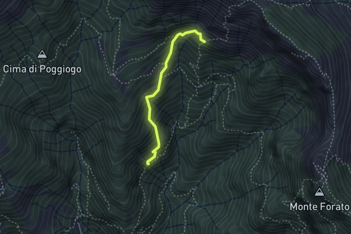
Medium · Trail
Sentiero di Pacì
2.8 km · ↑ 431 m · 1 h 35 min · 10 km away
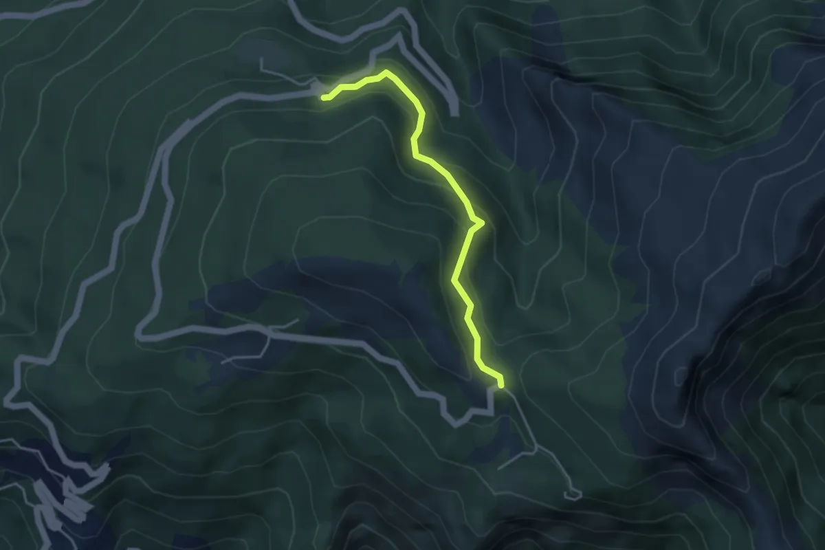
Easy · Trail
Via delle Fonti 5 - Vicinale della Fontana Morosa
3.6 km · ↑ 230 m · 1 h 21 min · 10 km away
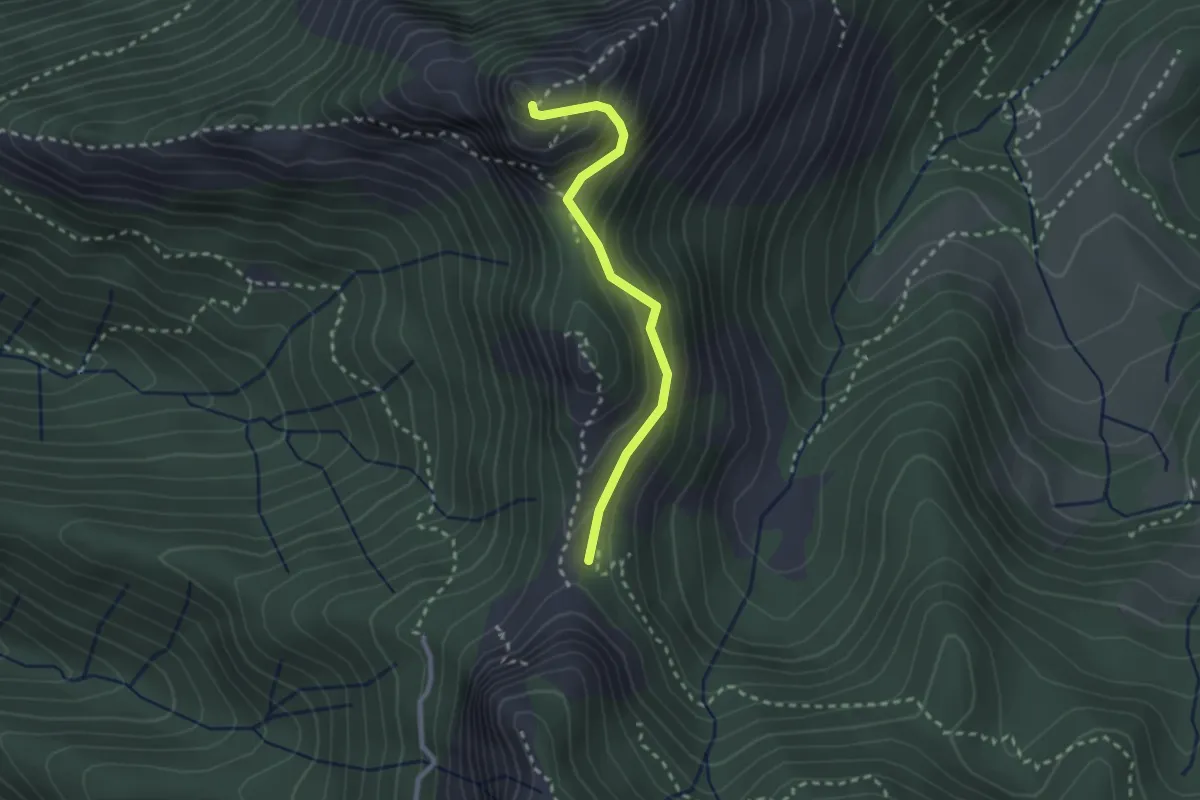
Demanding · Summit
Via Normale Monte Freddone
2.5 km · ↑ 199 m · 1 h 1 min · 10 km away
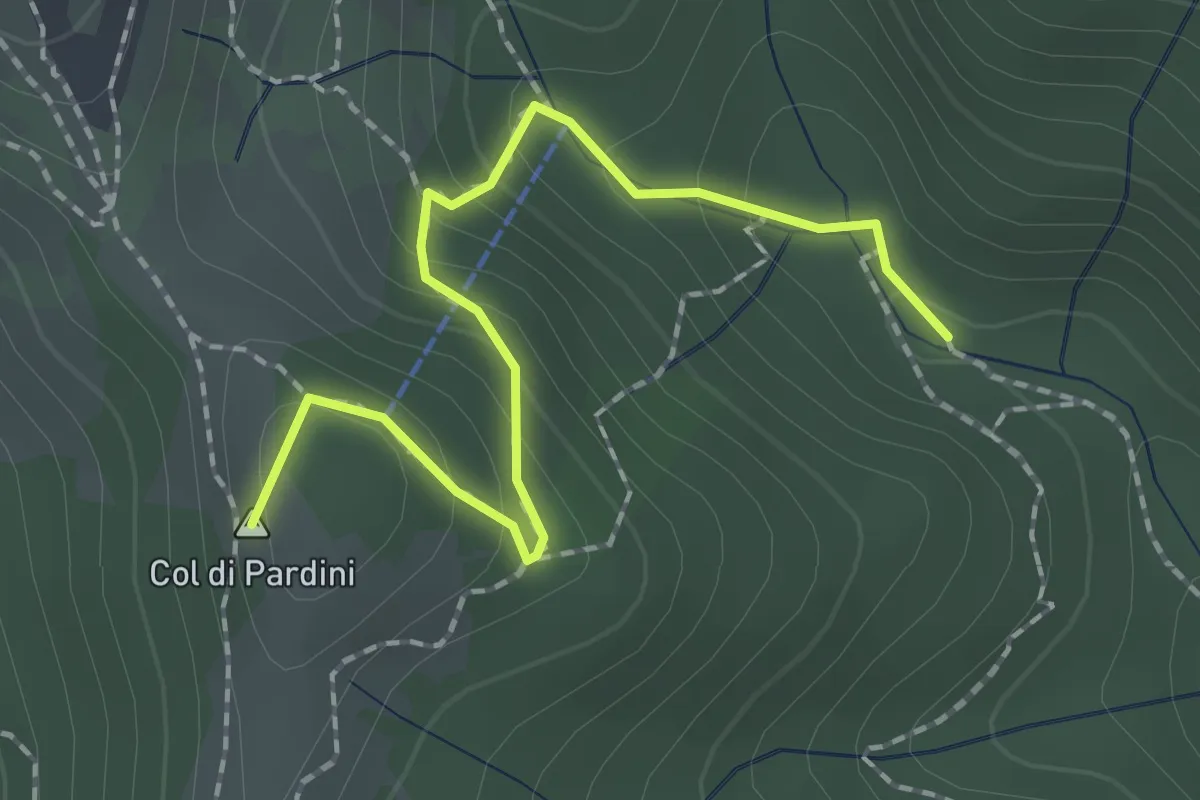
Medium · Summit
Ritrogoli – Campallorzo
2.1 km · ↑ 125 m · 46 min · 10 km away
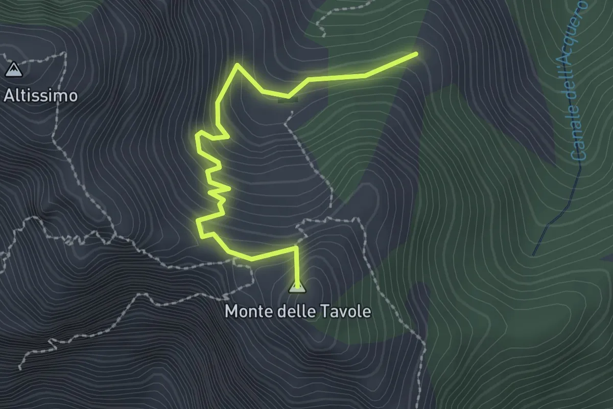
Demanding · Summit
Cave Cervaiole – Cava Fondone
2.5 km · ↑ 235 m · 1 h 6 min · 10 km away
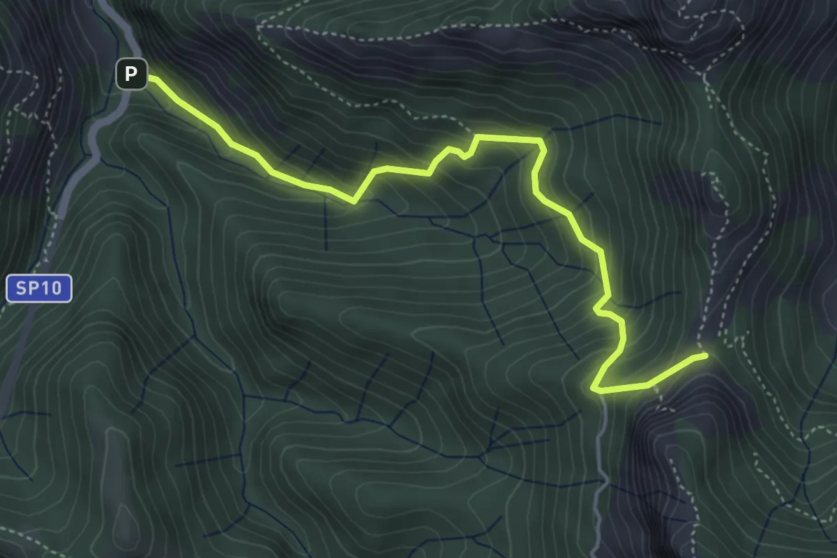
Medium · Trail
Ponte Merletti – Fociomboli
5.1 km · ↑ 497 m · 2 h 17 min · 11 km away
Medium · Summit
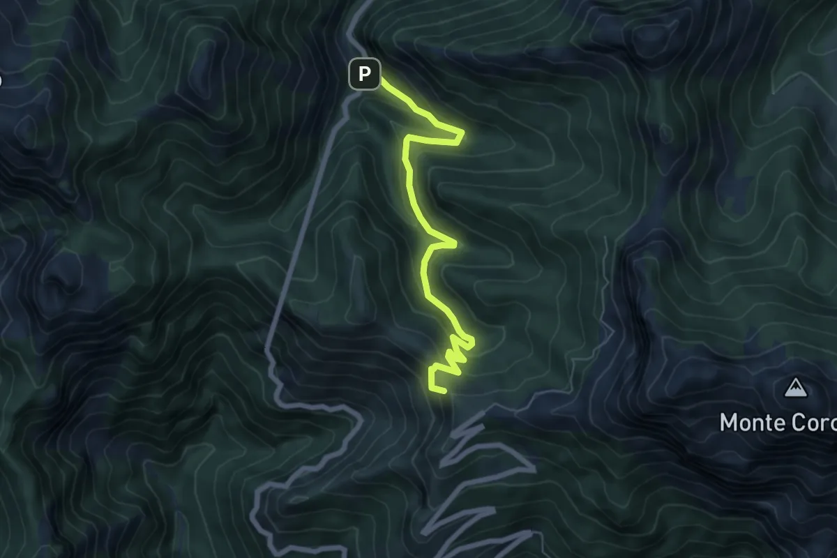
Ponte dei Merletti – Terrinca
6.4 km · ↑ 404 m · 2 h 24 min · 11 km away
Expert · Trail
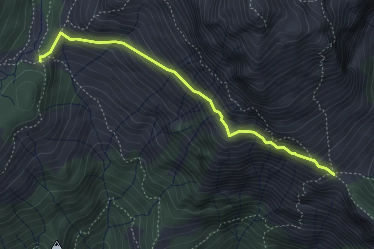
Foce di Mosceta – Foce di Valli
4.1 km · ↑ 386 m · 1 h 49 min · 11 km away
Medium · Summit
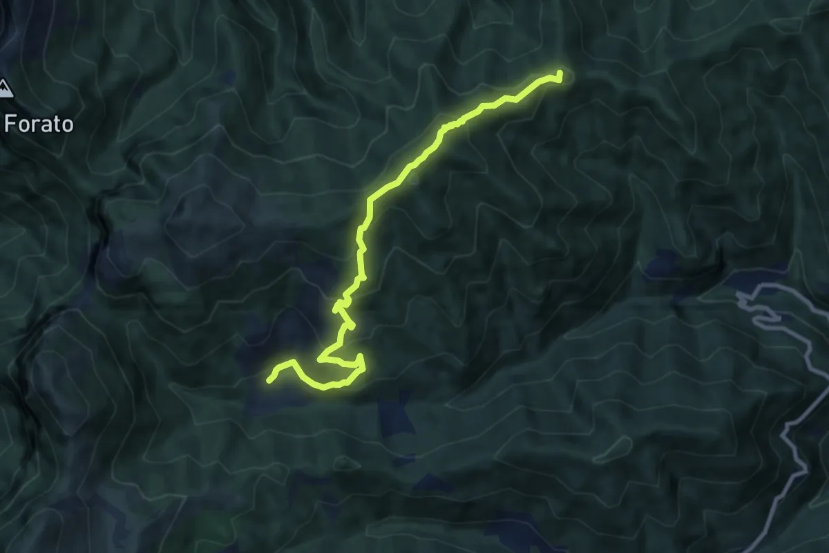
Trassilico – Palagnana
9.5 km · ↑ 687 m · 3 h 43 min · 11 km away
Medium · Trail
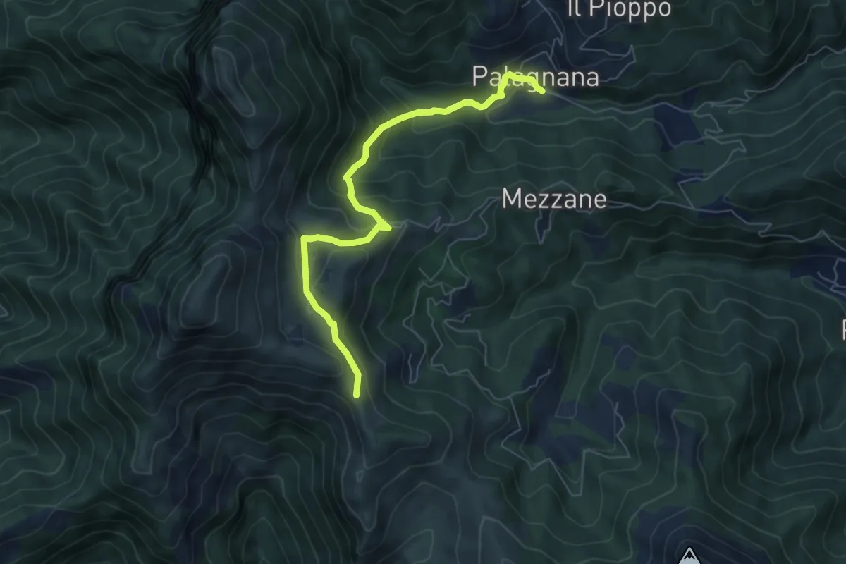
Foce del Pallone – Palagnana
6.6 km · ↑ 359 m · 2 h 21 min · 11 km away
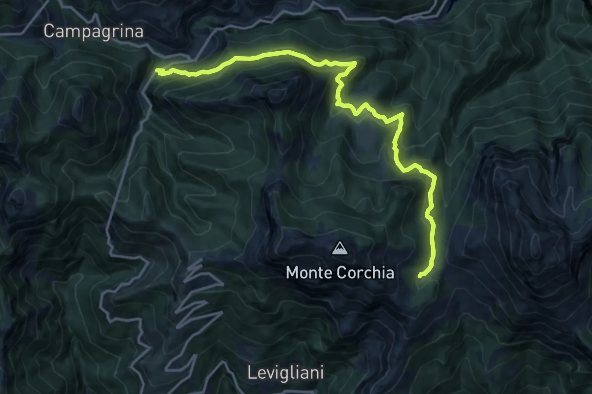
Demanding · Cabin
Tre Fiumi – Rifugio Giuseppe Del Freo
13.7 km · ↑ 1047 m · 5 h 31 min · 11 km away
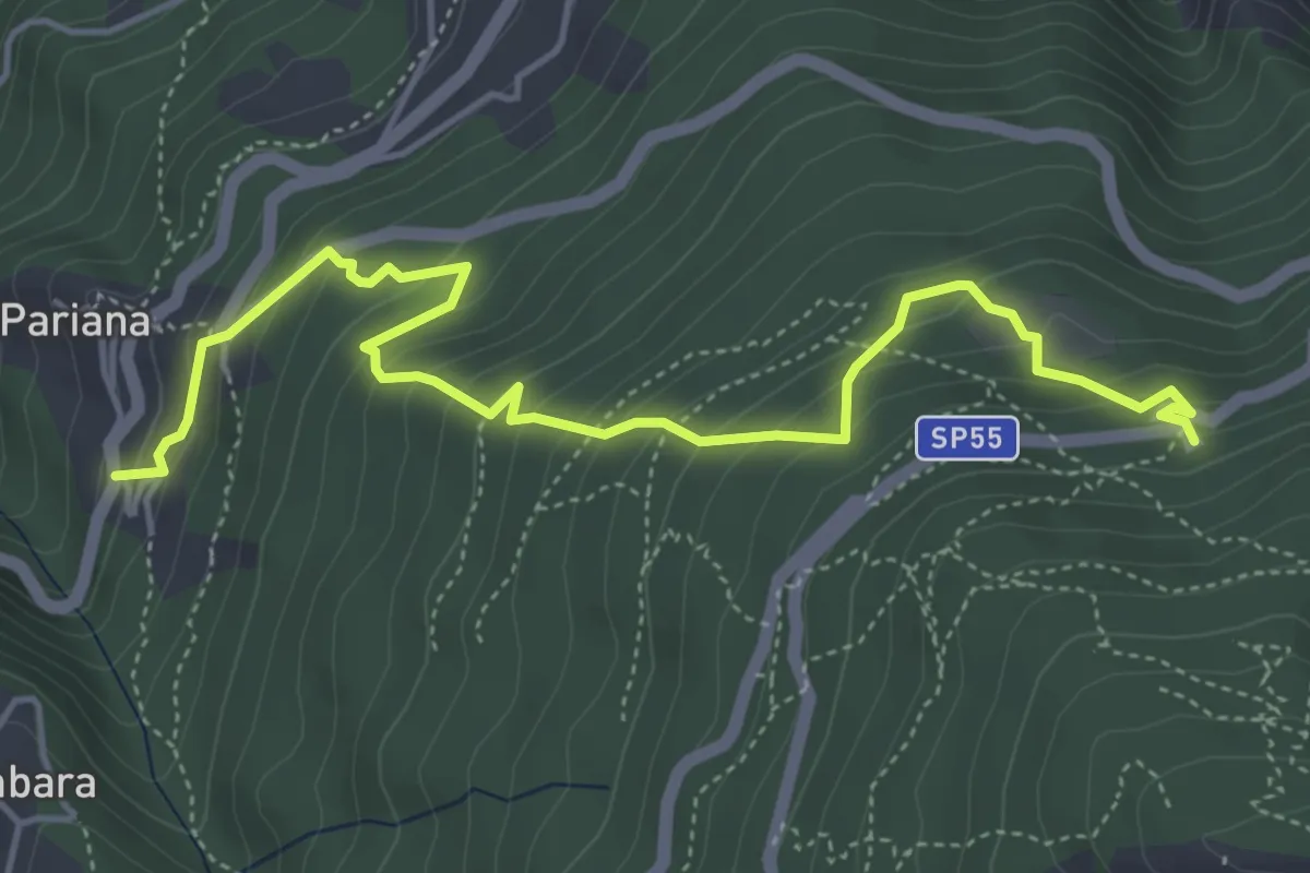
Medium · Trail
Via delle Fonti 6 - Vicinale della Fontana Morosa
5.8 km · ↑ 525 m · 2 h 30 min · 11 km away
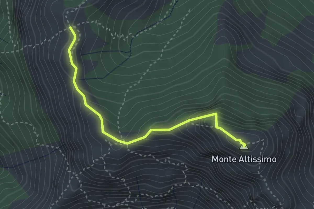
Demanding · Summit
Foce del Frate – Passo del Vaso Tondo
3.1 km · ↑ 290 m · 1 h 22 min · 11 km away
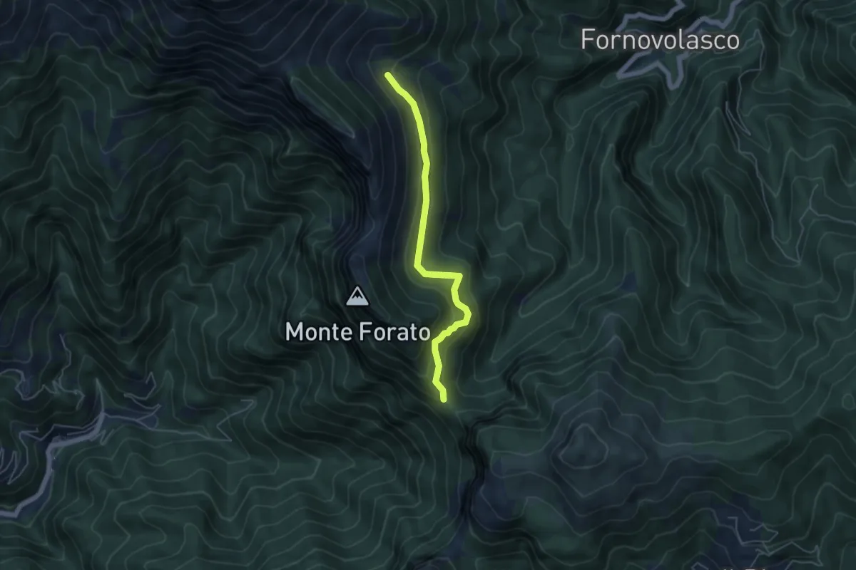
Medium · Trail
Foce di Petrosciana – Innesto sentiero CAI 130
4.8 km · ↑ 280 m · 1 h 45 min · 11 km away
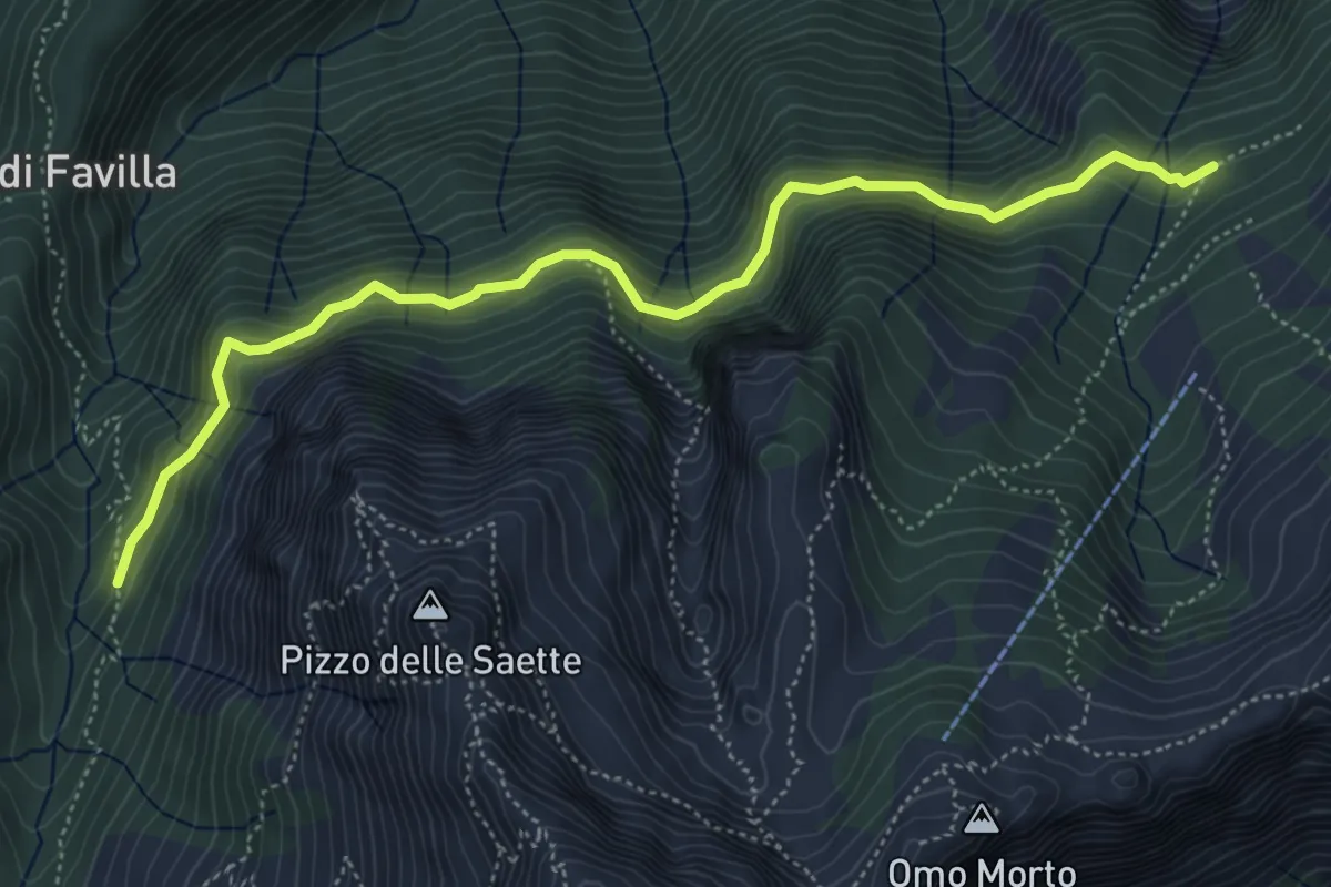
Medium · Cabin
Percorso 7 – Percorso 9
5.9 km · ↑ 428 m · 2 h 19 min · 11 km away
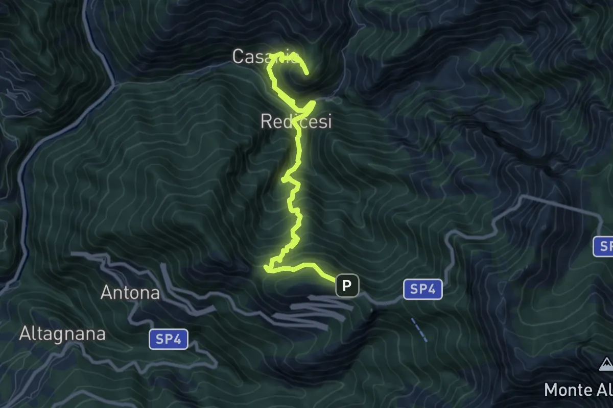
Demanding · Summit
Cammino del Frigido - Tappa 3
9.3 km · ↑ 970 m · 4 h 18 min · 11 km away
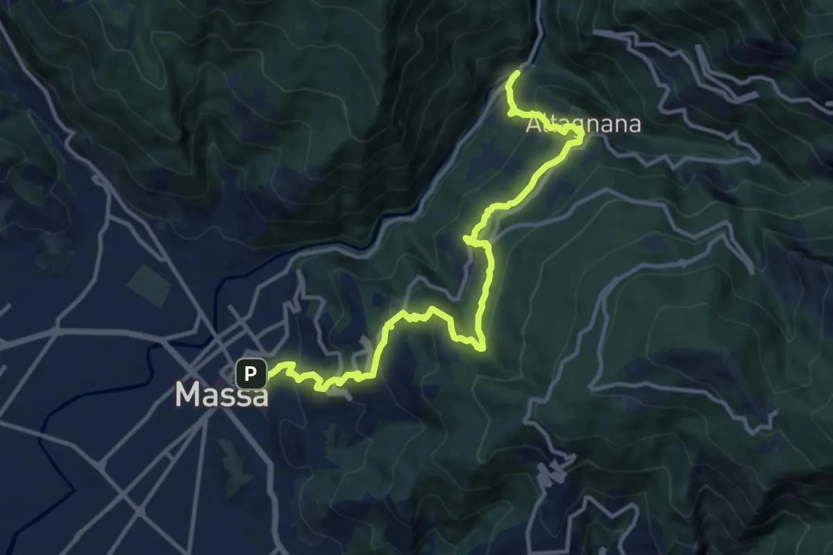
Demanding · Trail
Cammino del Frigido - Tappa 1
13.0 km · ↑ 815 m · 4 h 50 min · 11 km away
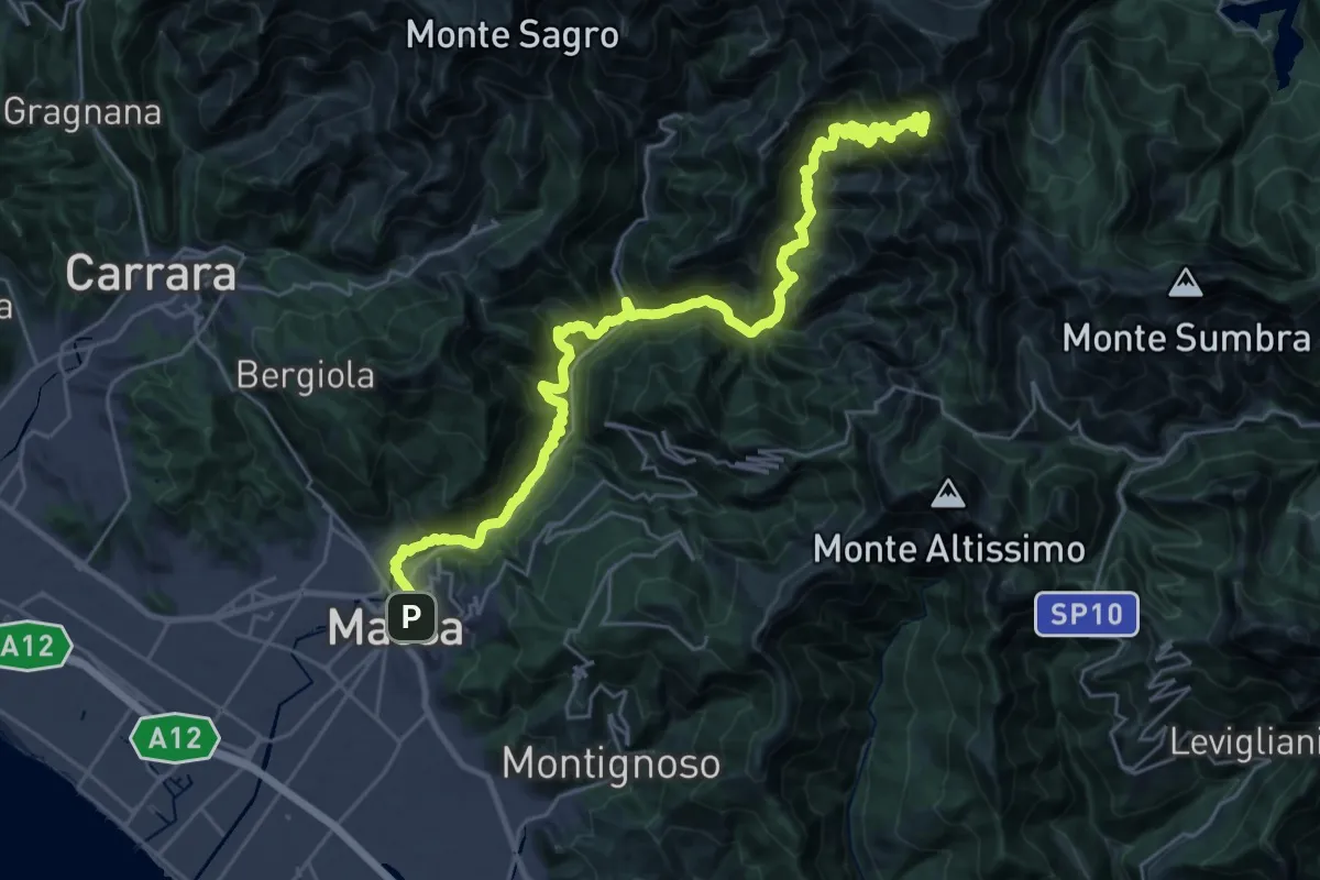
Demanding · Summit
Via Vandelli - Tappa 7
35.0 km · ↑ 2743 m · 14 h 12 min · 11 km away
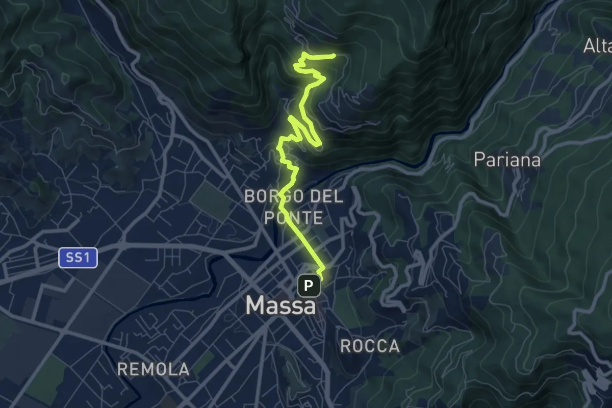
Medium · Trail
Cammino del Frigido - Tappa 7
7.3 km · ↑ 342 m · 2 h 28 min · 11 km away
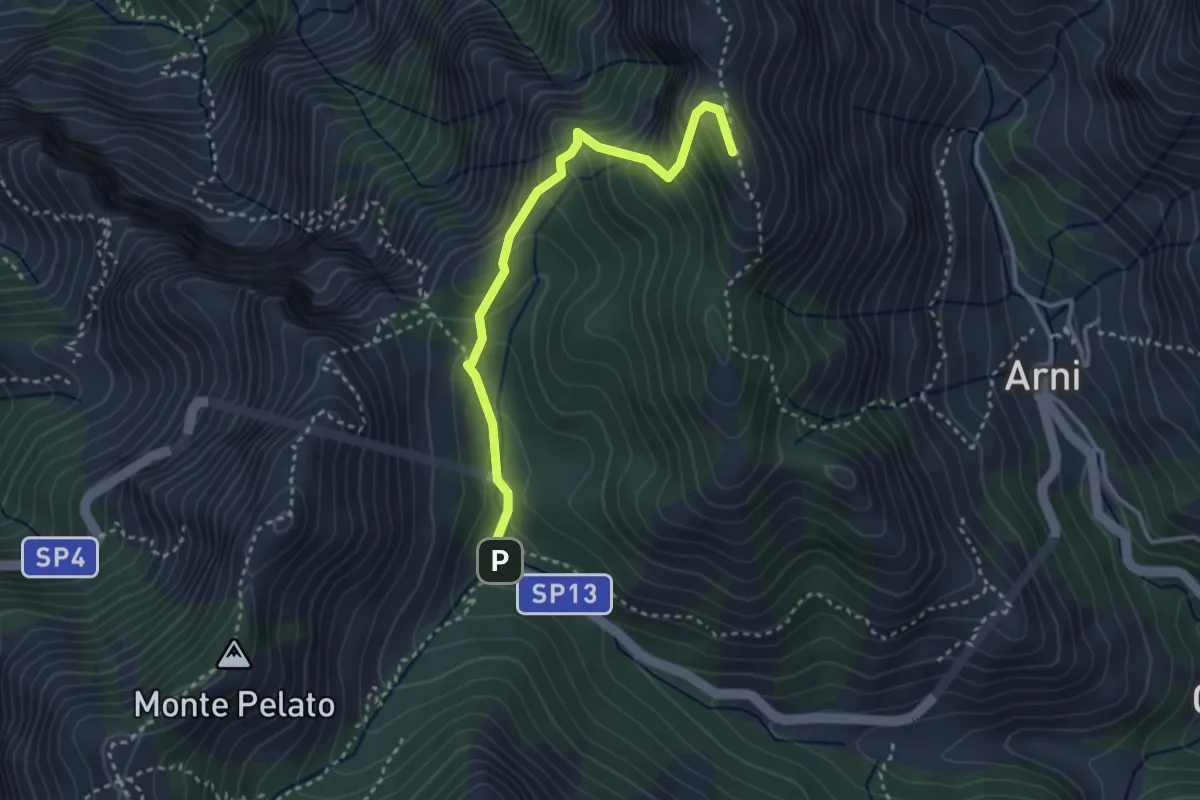
Expert · Summit
Le Gobbie – Passo Sella
3.3 km · ↑ 320 m · 1 h 28 min · 12 km away
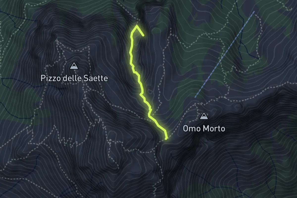
Demanding · Summit
Percorso 127 – Focetta del Puntone
2.5 km · ↑ 345 m · 1 h 20 min · 12 km away
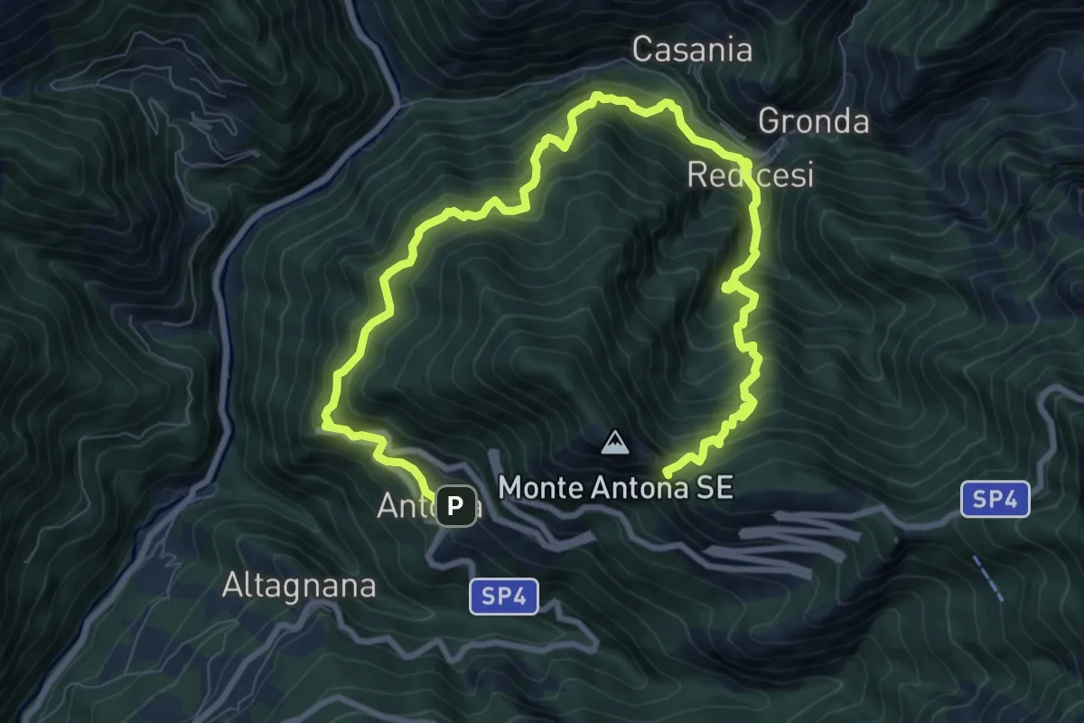
Demanding · Trail
Anello di Redicesi
12.7 km · ↑ 1530 m · 6 h 19 min · 12 km away
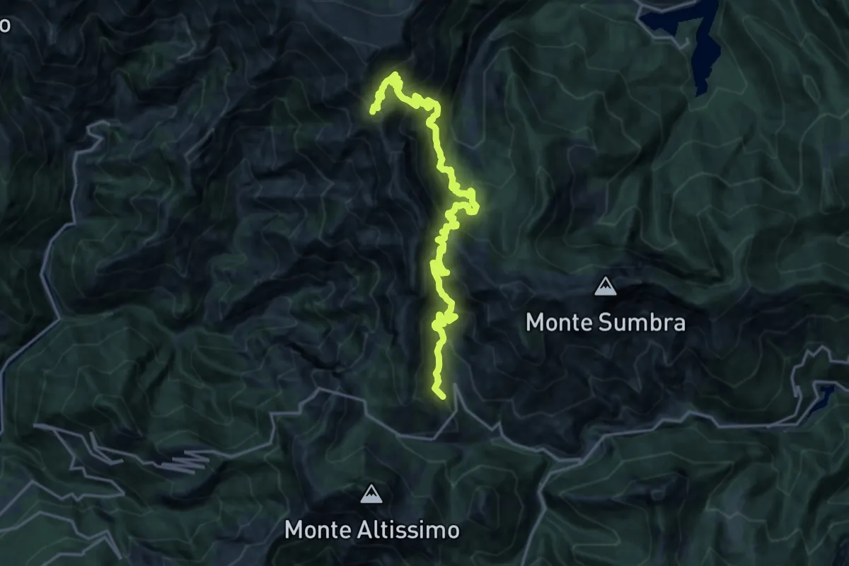
Demanding · Summit
Rifugio CAI Puliti – Rifugio CAI Nello Conti
19.2 km · ↑ 1895 m · 8 h 38 min · 12 km away
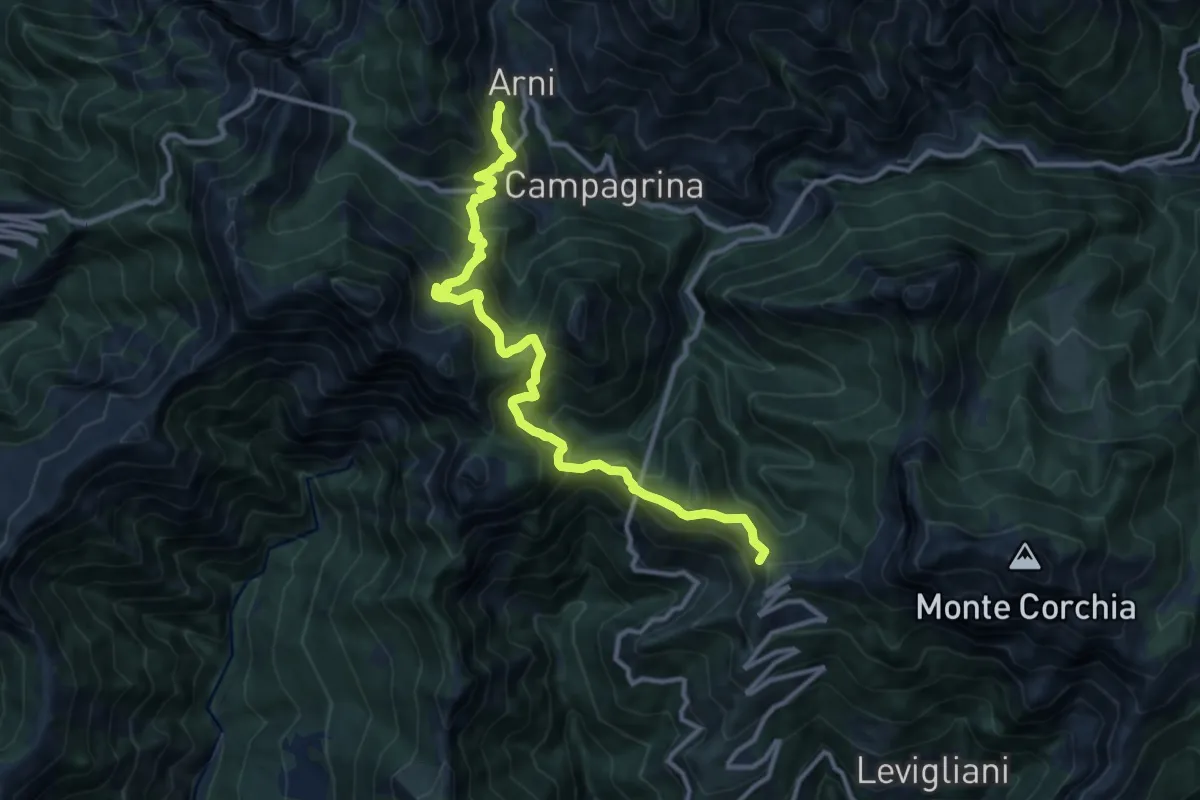
Demanding · Summit
Rifugio CAI Del Freo – Rifugio CAI Puliti
12.9 km · ↑ 1058 m · 5 h 20 min · 12 km away
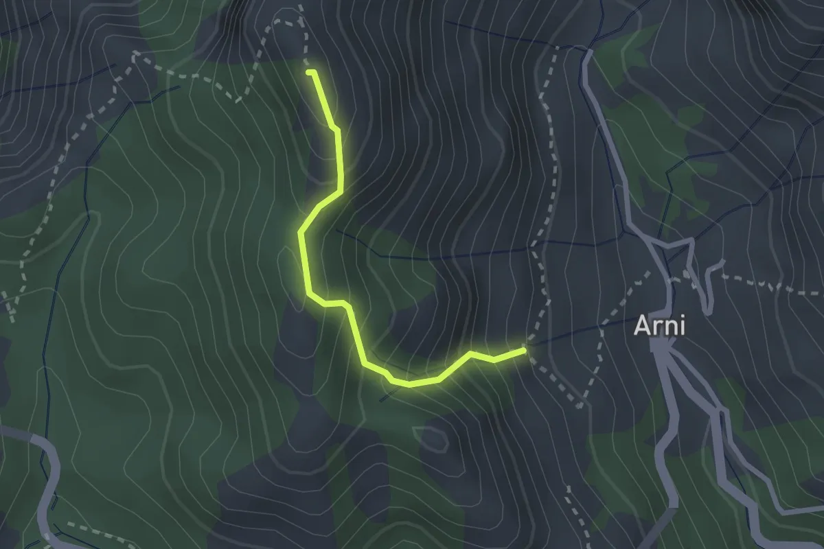
Medium · Summit
Rifugio Adelmo Puliti (Percorso 141) – Schienale dell'Asino (Pecorso 150)
2.1 km · ↑ 294 m · 1 h 8 min · 12 km away
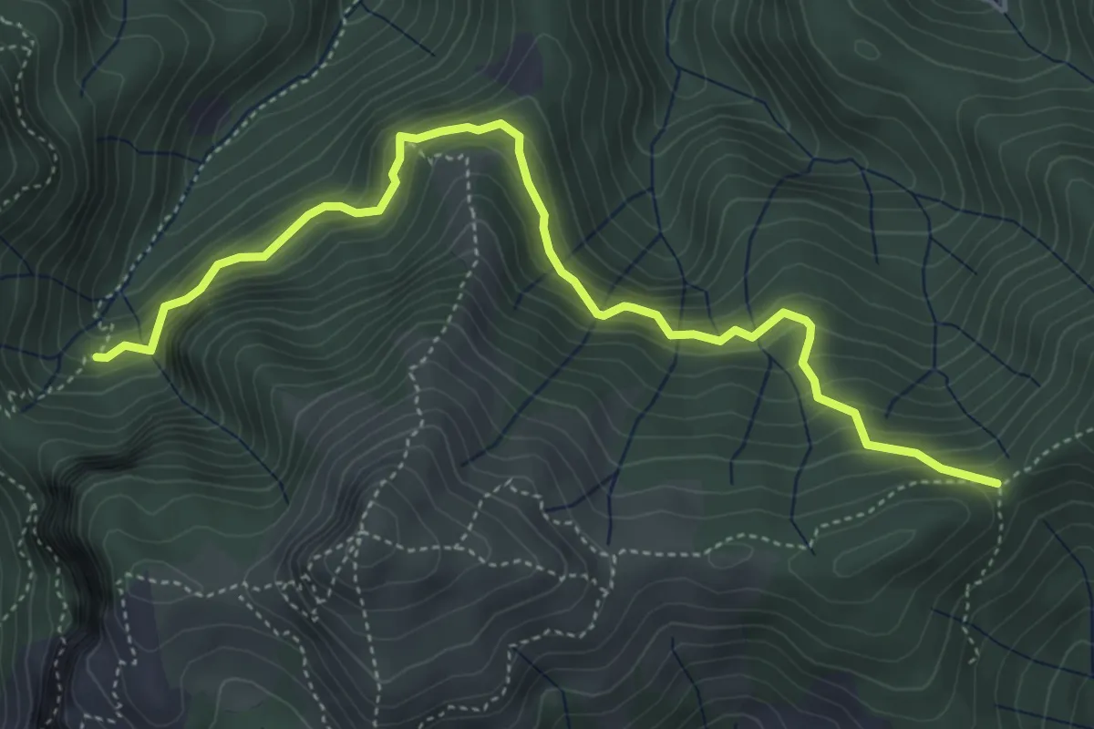
Demanding · Trail
Il Termine – innesto Sentiero 6
5.5 km · ↑ 583 m · 2 h 33 min · 12 km away
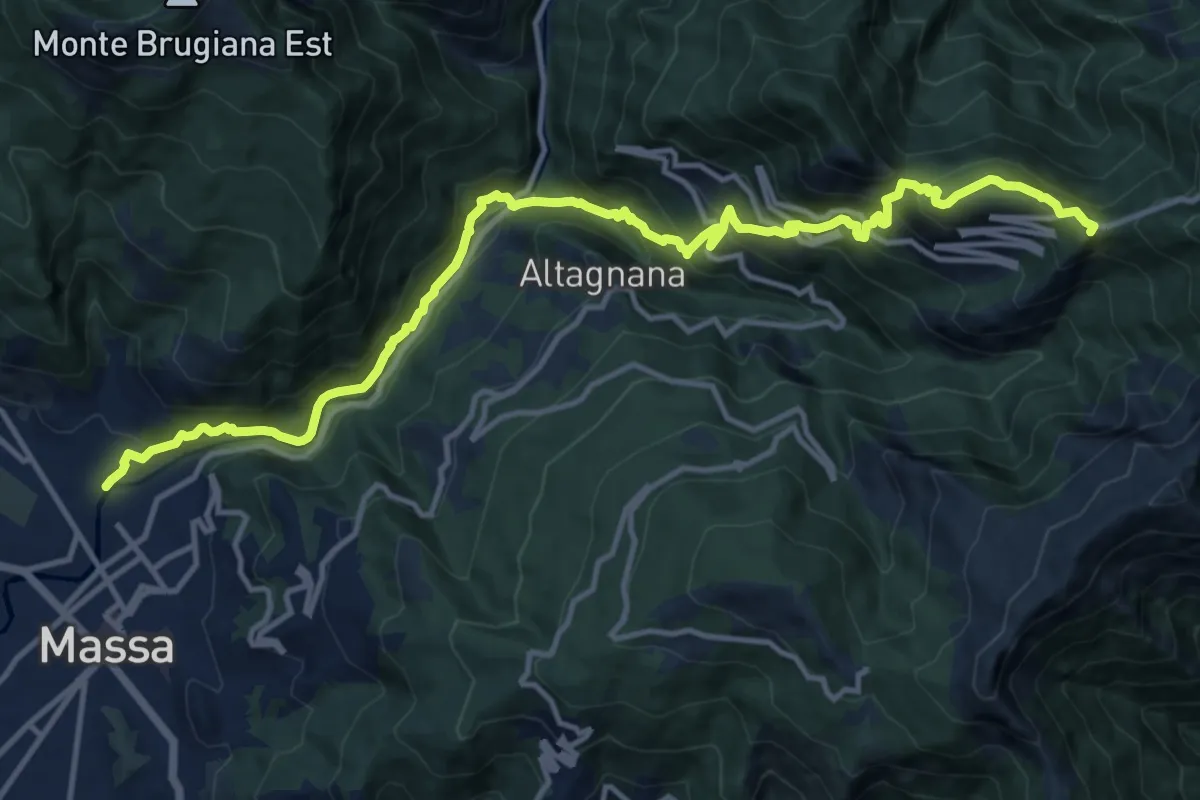
Demanding · Summit
Massa – Le Gobbie
16.2 km · ↑ 1286 m · 6 h 36 min · 12 km away
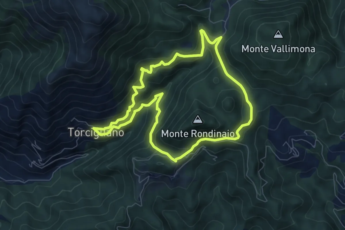
Medium · Trail
ANELLO 13 - TORCIGLIANO - PASSO DEL LUCESE - BUCA DEL CORNO - TORCIGLIANO
7.1 km · ↑ 510 m · 2 h 52 min · 12 km away
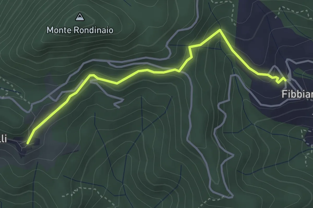
Easy · Trail
Traversata delle Frazioni Camaioresi (variante)
3.7 km · ↑ 194 m · 1 h 17 min · 12 km away
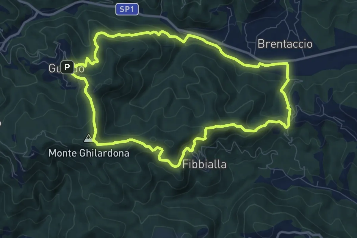
Medium · Summit
ANELLO 15 - VALPROMARO - GUALDO - FIBBIALLA - VALPROMARO
8.8 km · ↑ 454 m · 3 h 12 min · 12 km away