Trails near Pietrasanta
134 hikes starting within 15 km, nearest first.
Nearest first, page 3 of 3
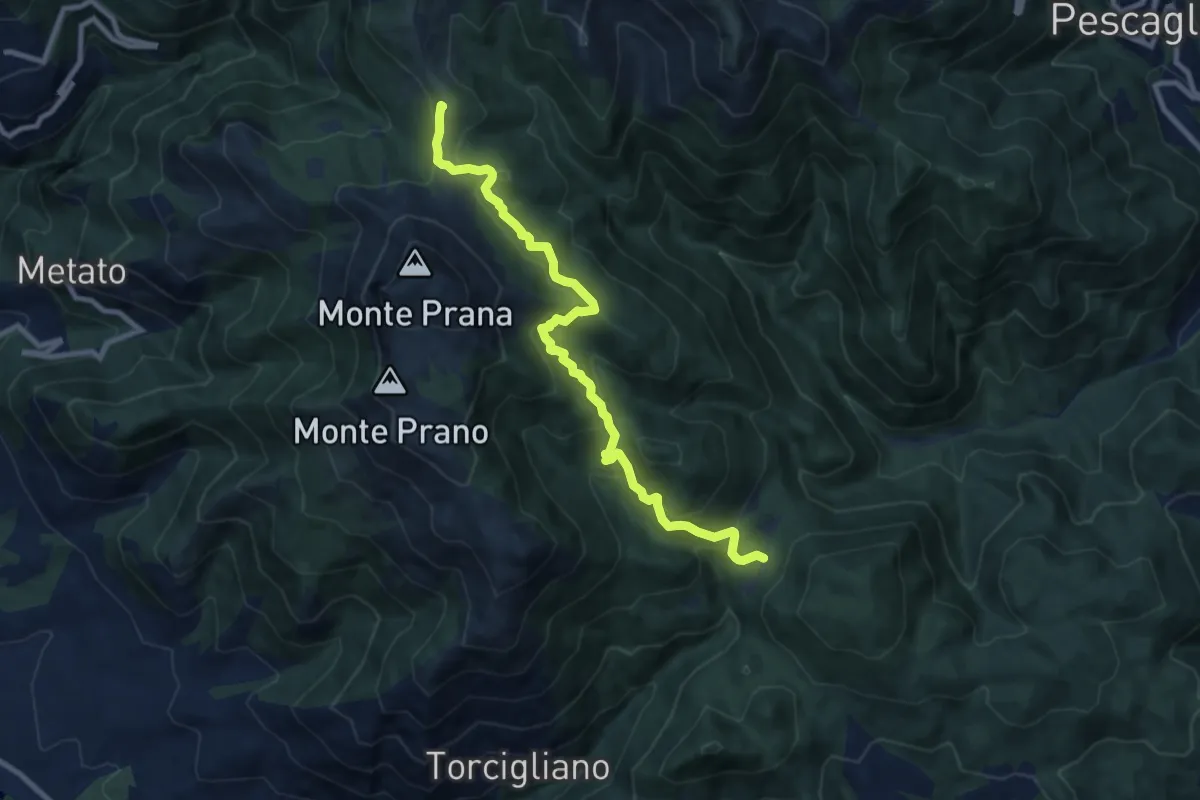
Medium · Summit
Passo del Lucese – Rifugio Alto Matanna
9.8 km · ↑ 572 m · 3 h 33 min · 12 km away
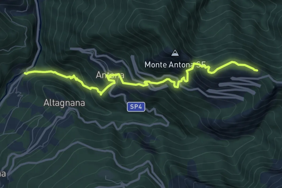
Demanding · Cabin
Cammino del Frigido - Tappa 2
8.7 km · ↑ 818 m · 3 h 50 min · 12 km away
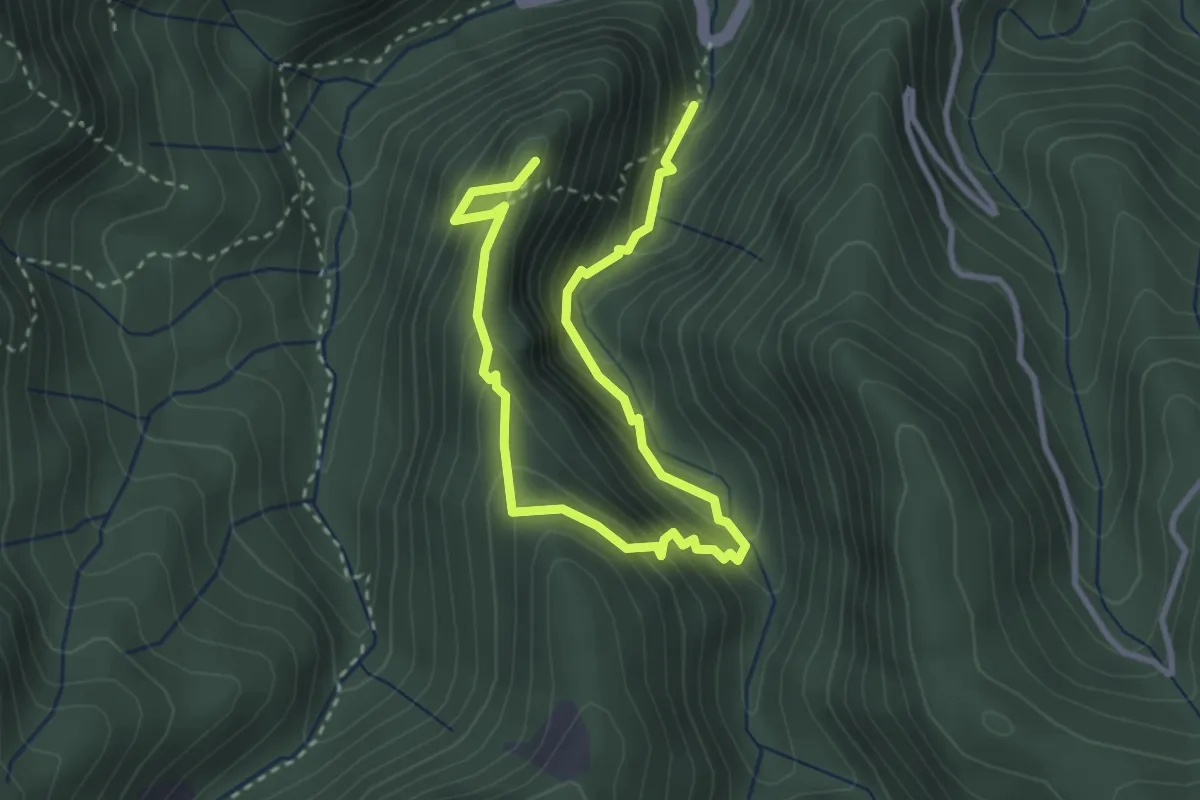
Medium · Summit
Anello del Battiferro
4.6 km · ↑ 392 m · 1 h 56 min · 12 km away
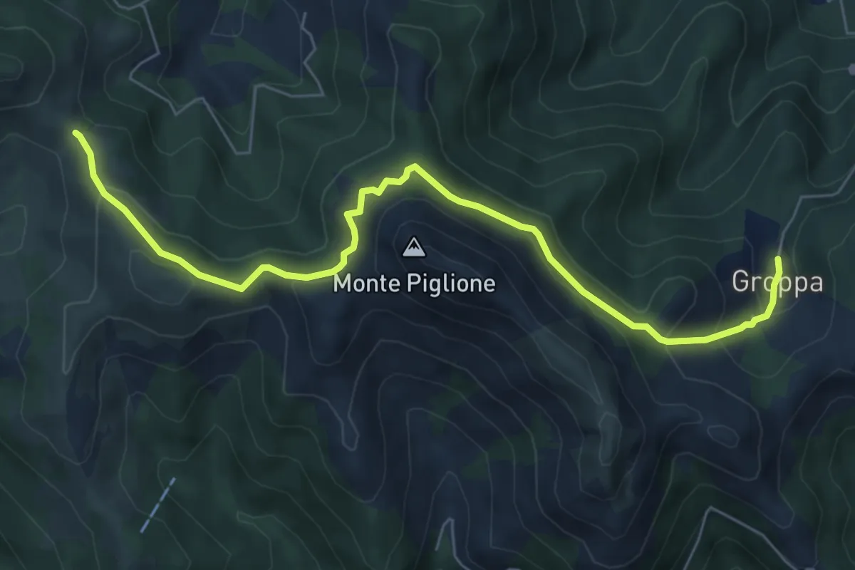
Medium · Trail
Groppa – Foce del Crocione
7.3 km · ↑ 390 m · 2 h 34 min · 12 km away
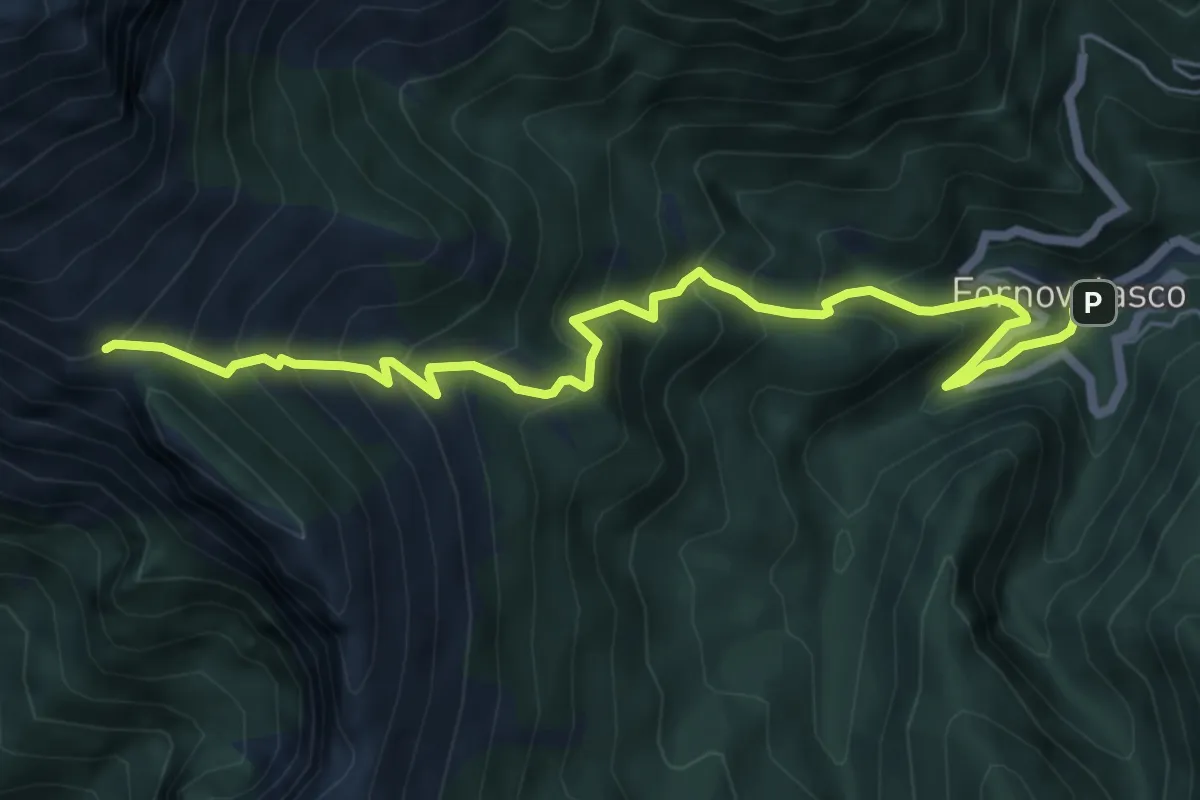
Medium · Trail
Fornovolasco – Foce di Valli
7.2 km · ↑ 800 m · 3 h 26 min · 13 km away
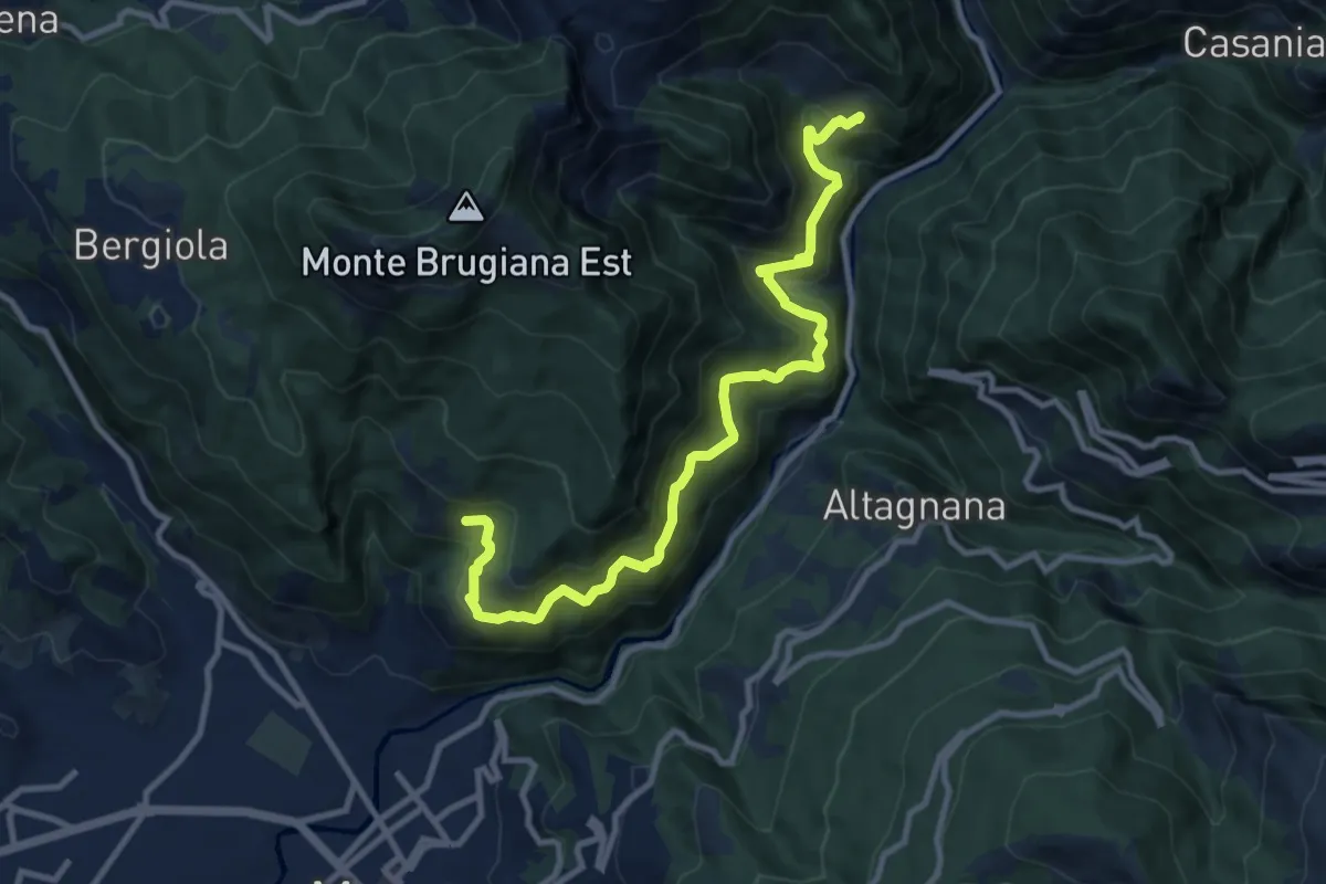
Demanding · Trail
Cammino del Frigido - Tappa 6
11.7 km · ↑ 847 m · 4 h 36 min · 13 km away
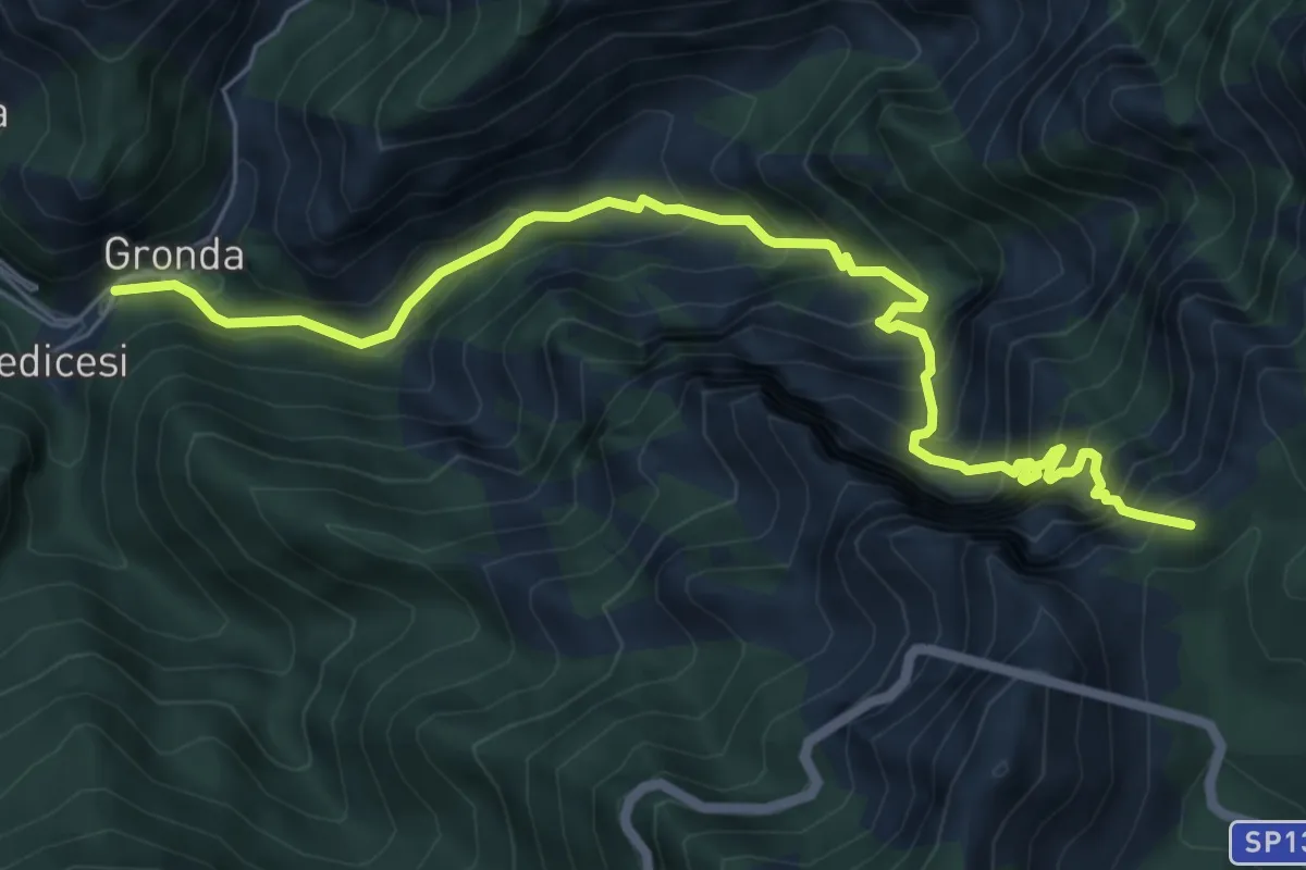
Demanding · Summit
Renara – Le Gobbie
7.4 km · ↑ 924 m · 3 h 45 min · 13 km away
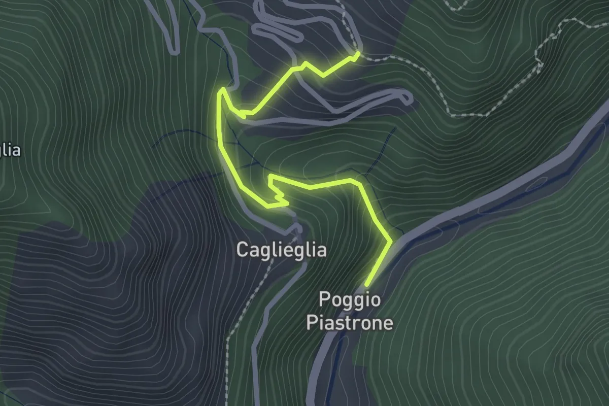
Easy · Trail
Poggio Piastrone - Casette
2.4 km · ↑ 224 m · 1 h 2 min · 13 km away
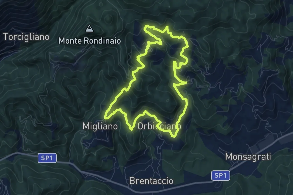
Medium · Trail
ANELLO 14 - ORBICCIANO - ANTICIANA - FIBBIANO - MIGLIANO - ORBICCIANO
9.0 km · ↑ 491 m · 3 h 19 min · 13 km away
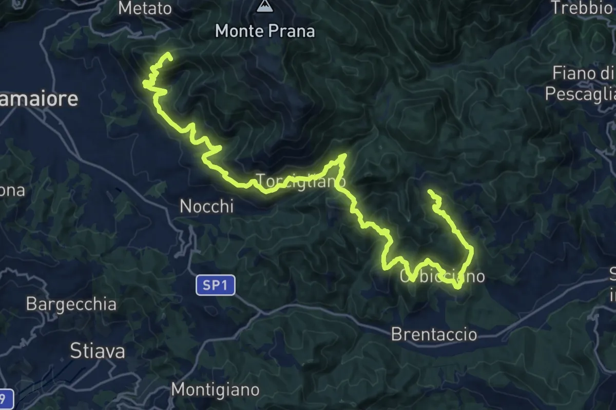
Demanding · Summit
Traversata delle Frazioni Camaioresi
30.0 km · ↑ 1890 m · 11 h 11 min · 13 km away
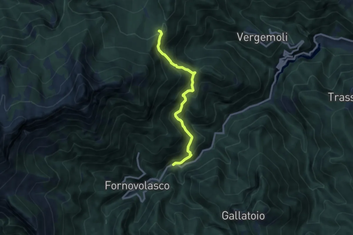
Medium · Trail
Boscaccio (Fornovolasco) – Le Rocchette
6.7 km · ↑ 647 m · 2 h 59 min · 13 km away
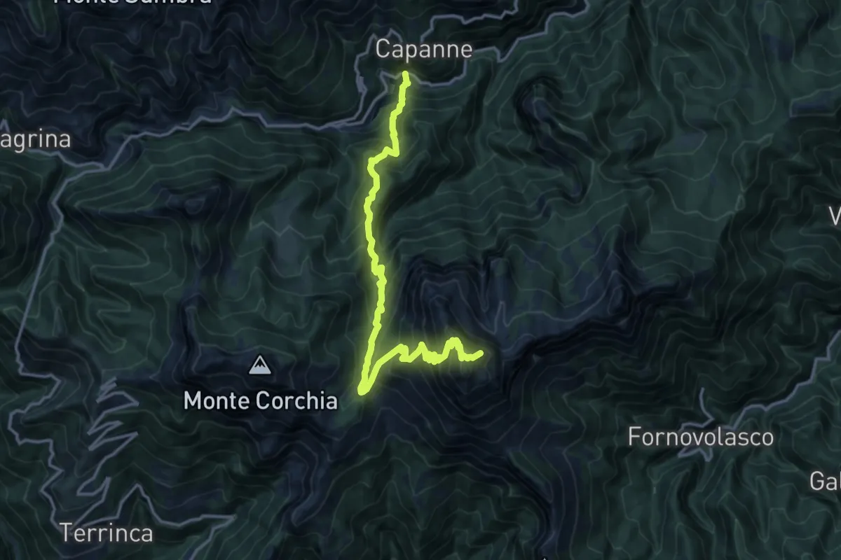
Demanding · Summit
Garfagnana Trekking - Tappa 2
14.9 km · ↑ 1592 m · 6 h 59 min · 14 km away
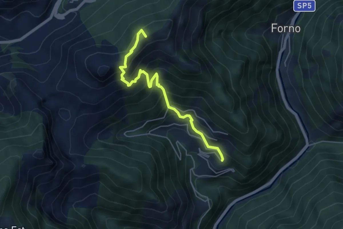
Medium · Summit
Cammino del Frigido - Tappa 5
4.6 km · ↑ 573 m · 2 h 20 min · 14 km away
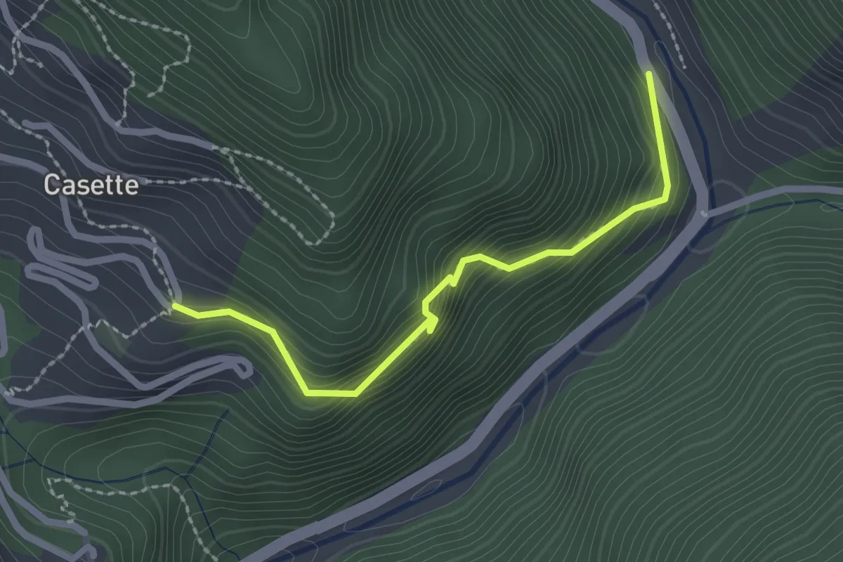
Easy · Trail
Sentiero del Bizzarro
2.2 km · ↑ 282 m · 1 h 8 min · 14 km away
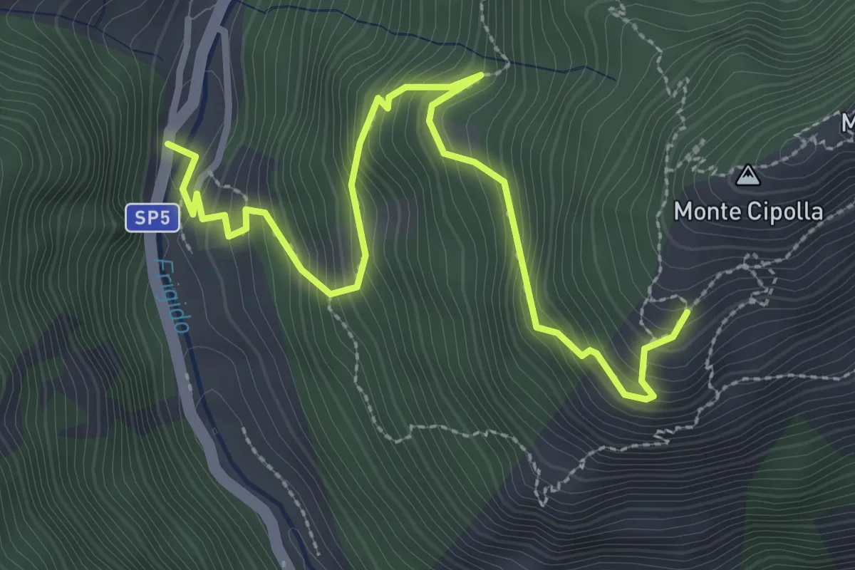
Medium · Trail
Forno - Pian dei Santi
3.6 km · ↑ 382 m · 1 h 41 min · 14 km away
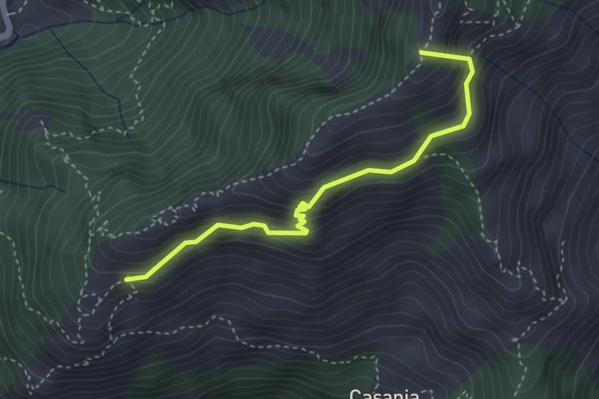
Demanding · Summit
Pian dei Santi – Percorso 161
3.4 km · ↑ 356 m · 1 h 35 min · 14 km away
Medium · Summit
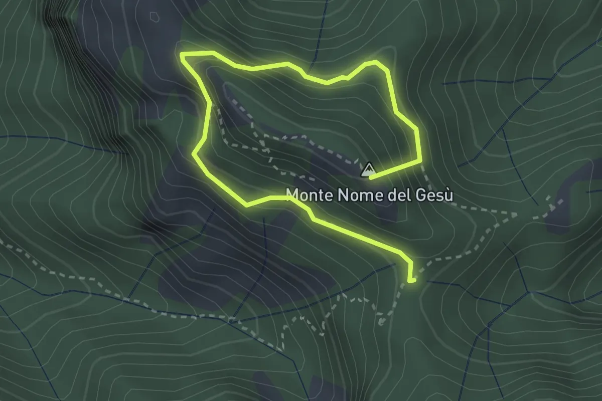
Sentiero della Libertà
3.9 km · ↑ 368 m · 1 h 43 min · 14 km away
Demanding · Trail
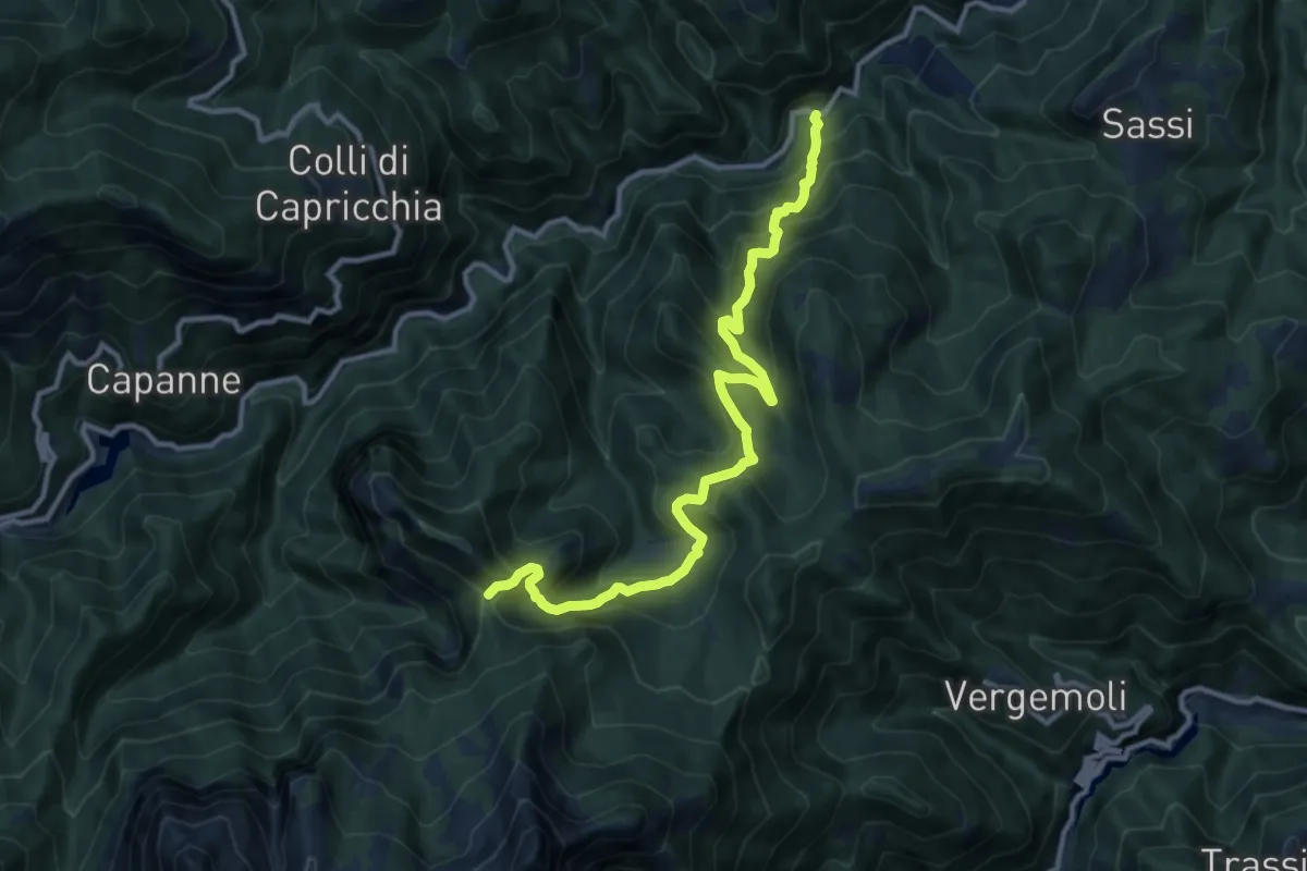
Mulino al Riccio – Colle Panestra
12.3 km · ↑ 979 m · 5 h 1 min · 14 km away
Medium · Summit
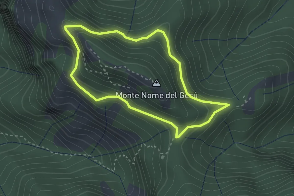
Fosco Maraini 4 - Tignoso Rovaio
2.5 km · ↑ 192 m · 1 h 2 min · 14 km away
Medium · Summit
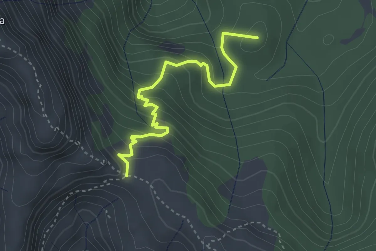
Arnetola – Cave delle Cervaiole
3.3 km · ↑ 287 m · 1 h 24 min · 14 km away
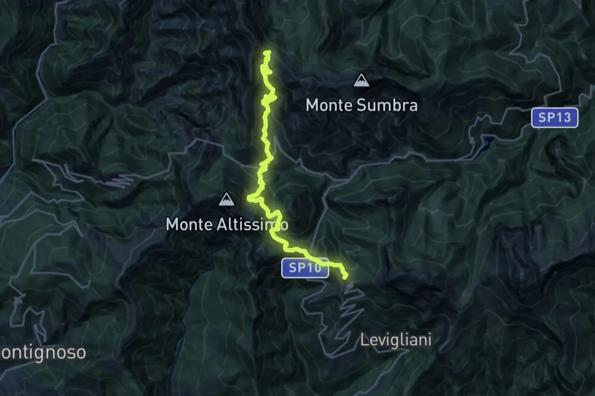
Demanding · Summit
Foce di Mosceta – Passo Sella
20.3 km · ↑ 1754 m · 8 h 35 min · 14 km away
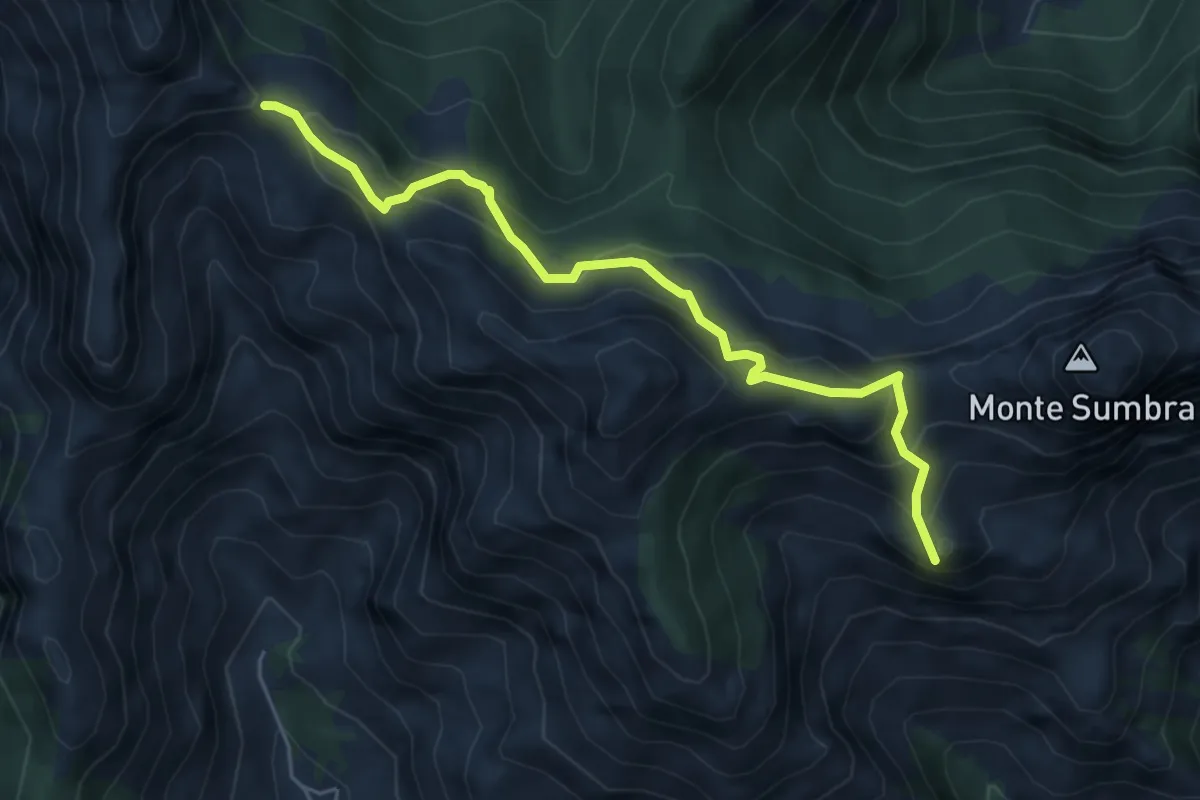
Demanding · Summit
Arni – Passo Sella
5.7 km · ↑ 476 m · 2 h 23 min · 14 km away
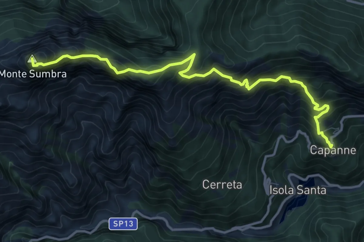
Demanding · Summit
Capanne di Careggine – Passo Fiocca
10.6 km · ↑ 1285 m · 5 h 17 min · 14 km away
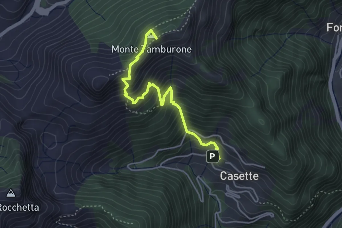
Medium · Summit
Forno (via Bassa Tambura) – Casette
3.9 km · ↑ 516 m · 2 h 3 min · 14 km away
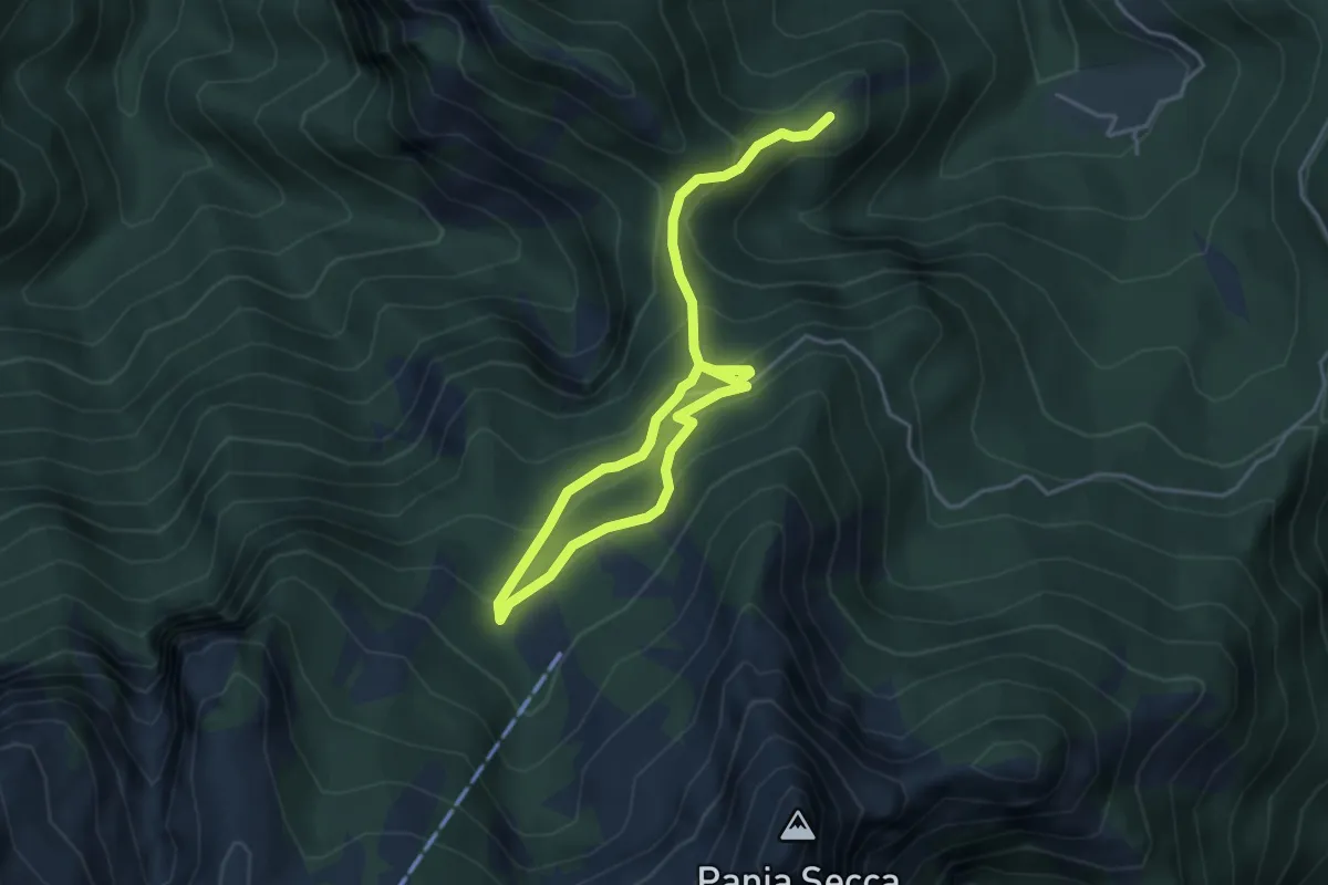
Medium · Trail
Fosco Maraini 6 - Lo sguardo del miramondo
6.1 km · ↑ 514 m · 2 h 33 min · 14 km away
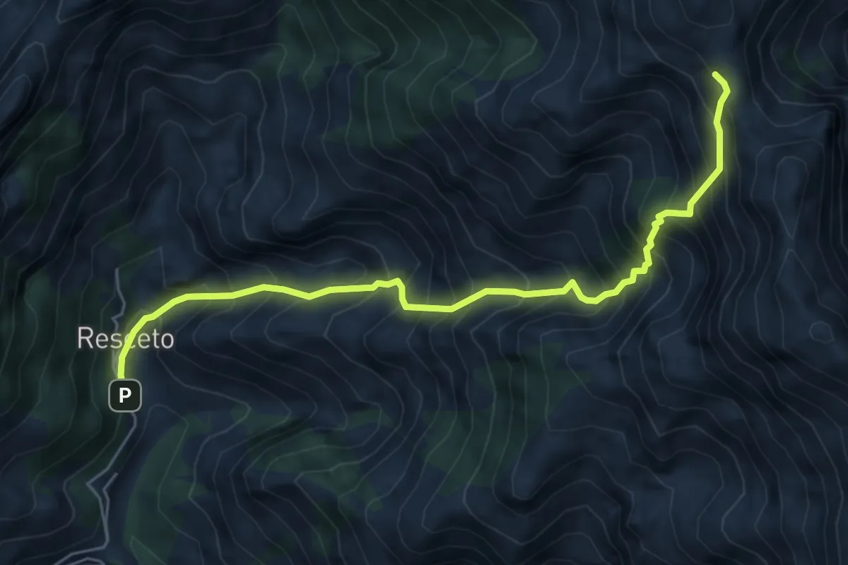
Demanding · Trail
Resceto – Foce dell Acqua Fredda
6.1 km · ↑ 1208 m · 4 h 4 min · 14 km away
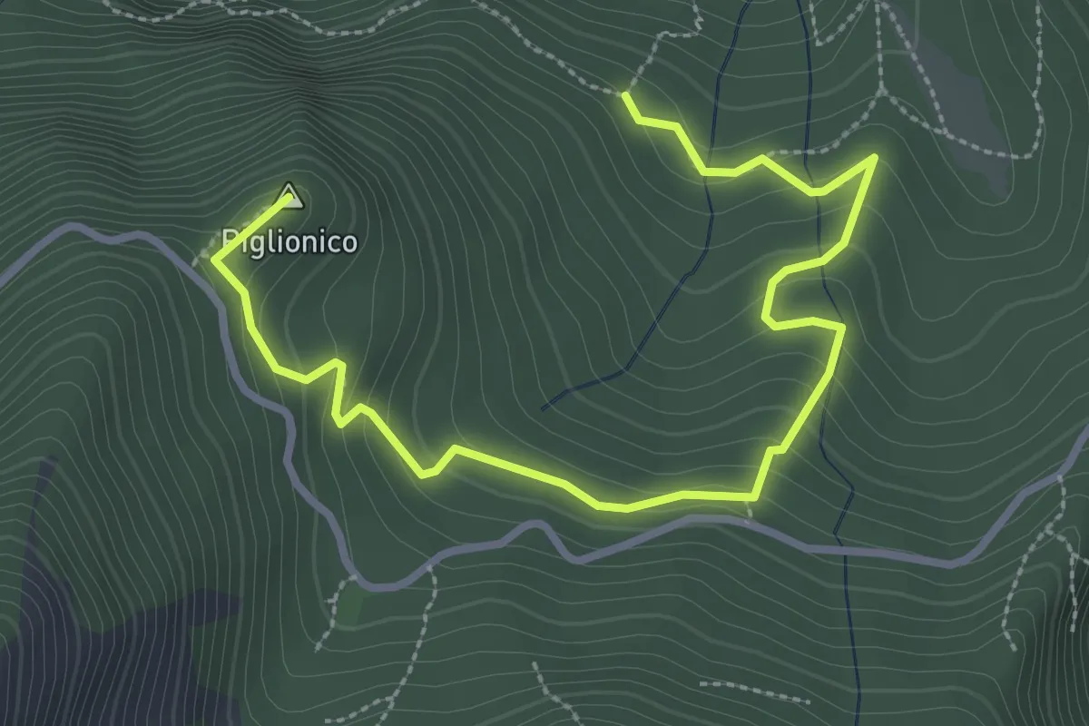
Medium · Summit
Fosco Maraini 5 - Lo specchio-cellulare
3.9 km · ↑ 306 m · 1 h 35 min · 14 km away
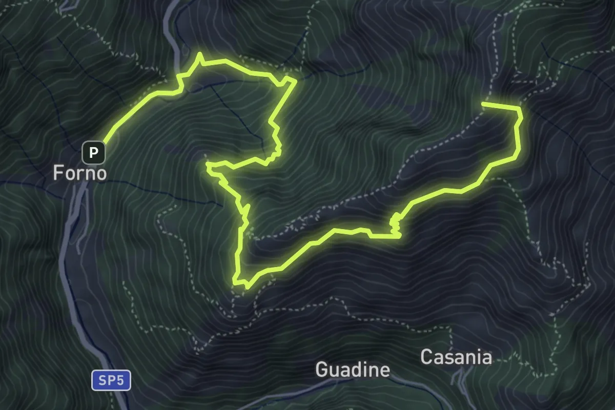
Demanding · Summit
Cammino del Frigido - Tappa 4
8.7 km · ↑ 891 m · 3 h 59 min · 15 km away
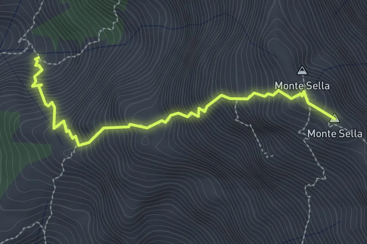
Demanding · Summit
Percorso 165 – Monte Sella
2.8 km · ↑ 558 m · 1 h 52 min · 15 km away
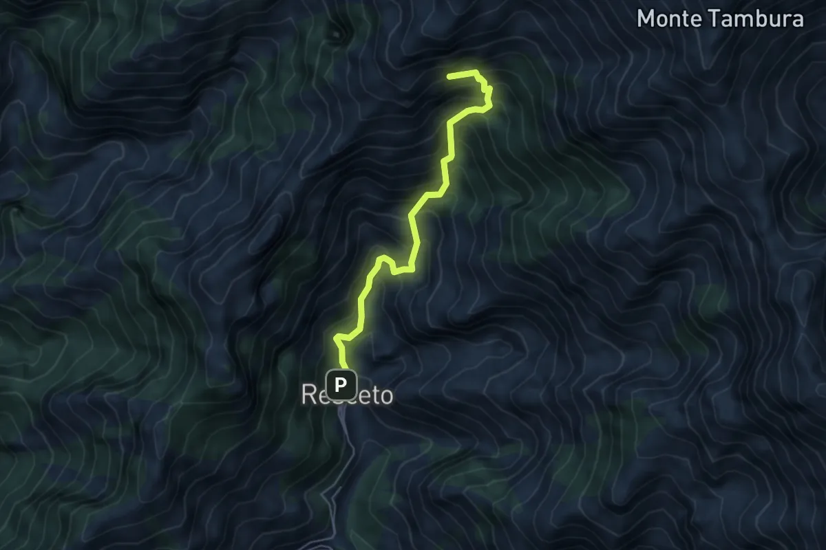
Demanding · Summit
Resceto – Sentiero CAI 162 ex 36
4.8 km · ↑ 701 m · 2 h 40 min · 15 km away
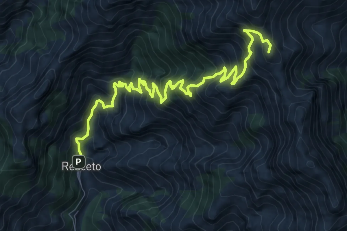
Demanding · Summit
Via Vandelli
11.2 km · ↑ 1340 m · 5 h 33 min · 15 km away
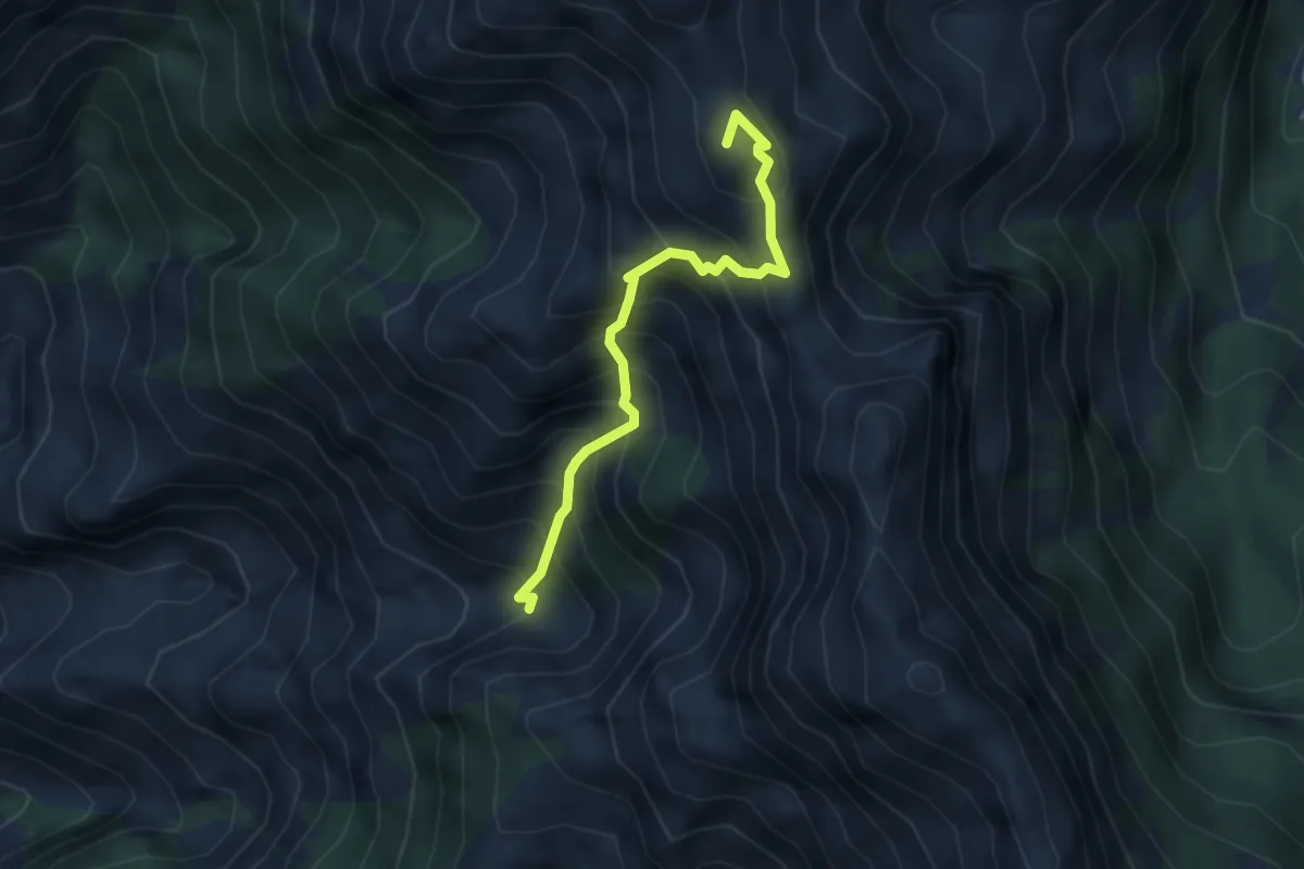
Expert · Summit
Canale della Neve – Passo della Tambura
3.6 km · ↑ 530 m · 1 h 59 min · 15 km away
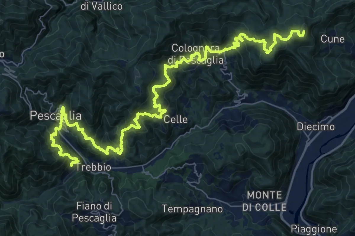
Demanding · Summit
Sentiero delle Colline Lucchesi
38.7 km · ↑ 2597 m · 14 h 45 min · 15 km away
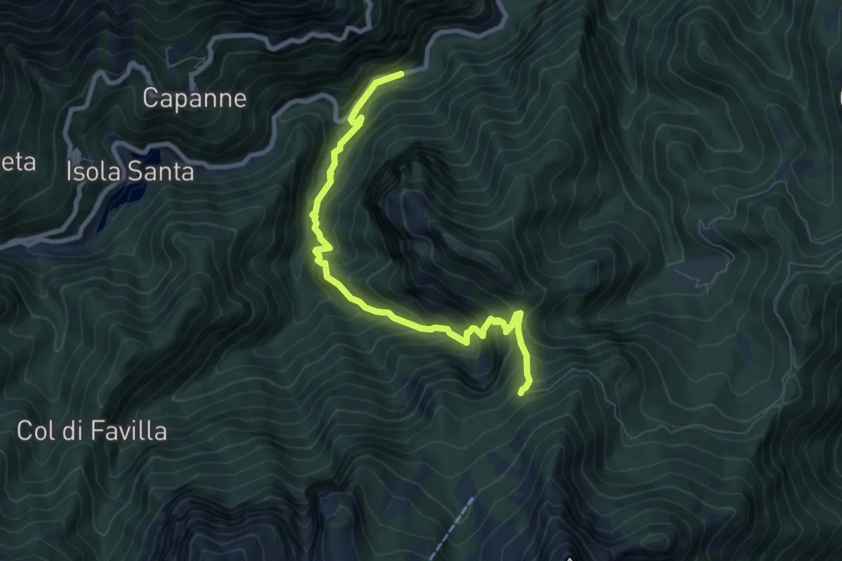
Medium · Trail
Pizzorno – Piglionico
7.9 km · ↑ 751 m · 3 h 29 min · 15 km away
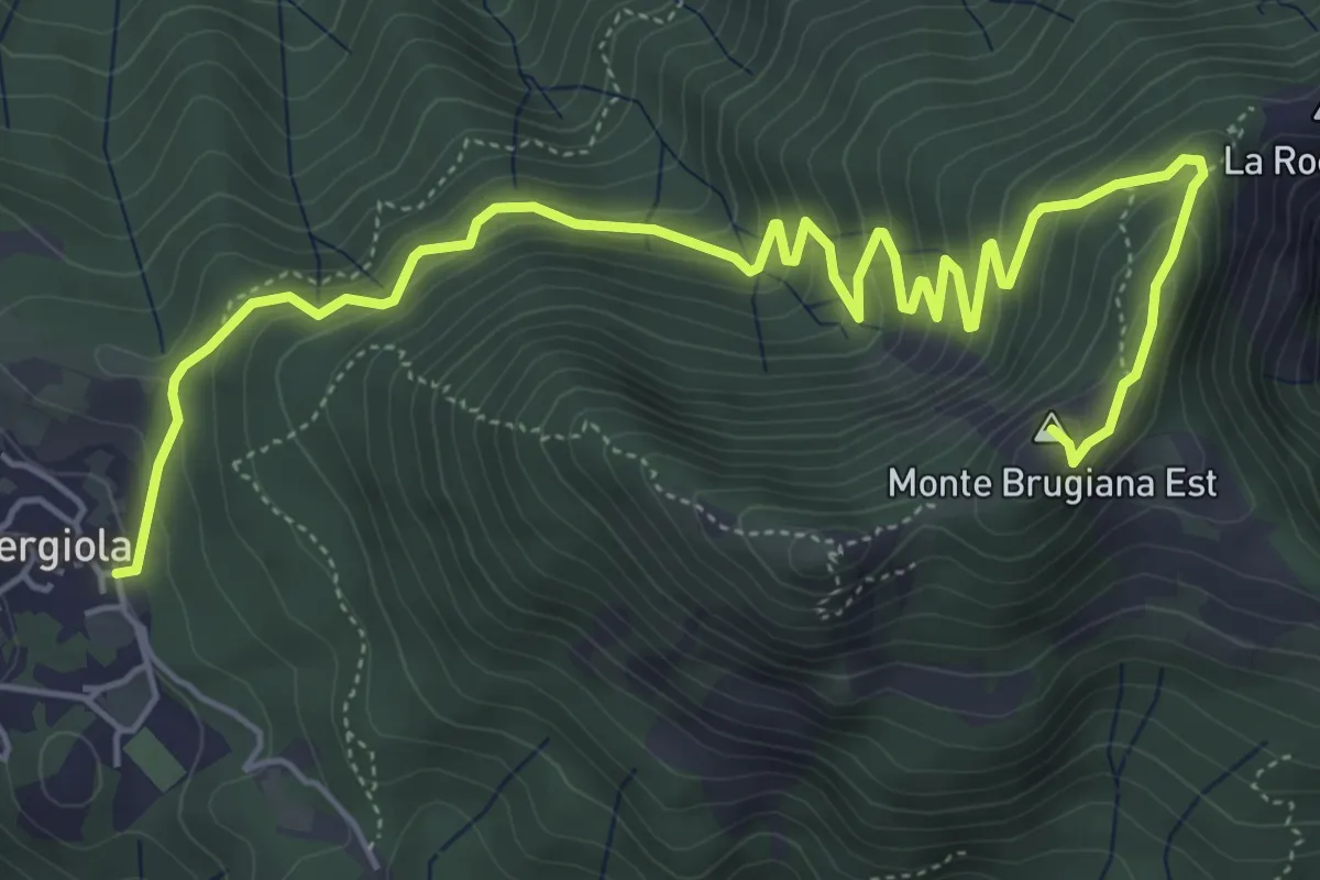
Expert · Summit
Bergiola Foscalina – Monte Brugiana
7.7 km · ↑ 572 m · 3 h 4 min · 15 km away
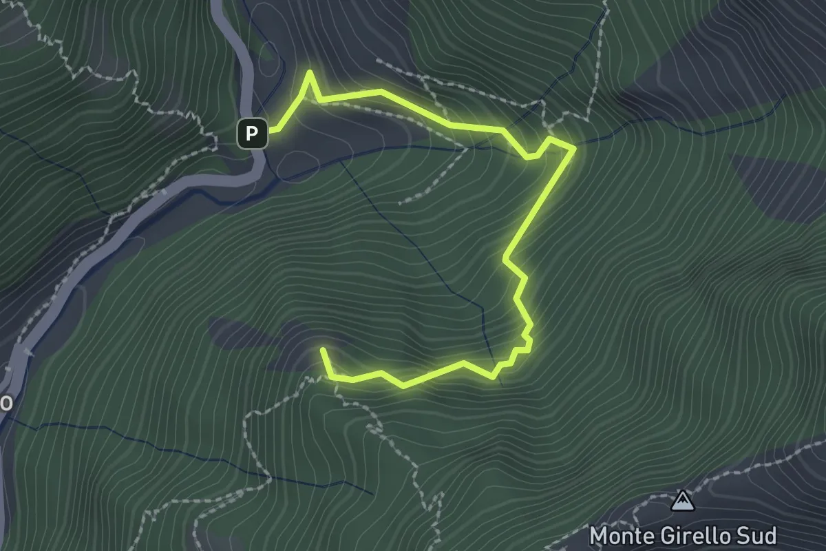
Medium · Summit
Forno – Casania
2.6 km · ↑ 270 m · 1 h 12 min · 15 km away
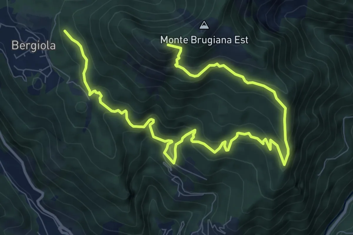
Demanding · Summit
Bergiola Foscalina (raccordo 152) – Monte Brugiana (raccordo 152)
13.2 km · ↑ 952 m · 5 h 11 min · 15 km away
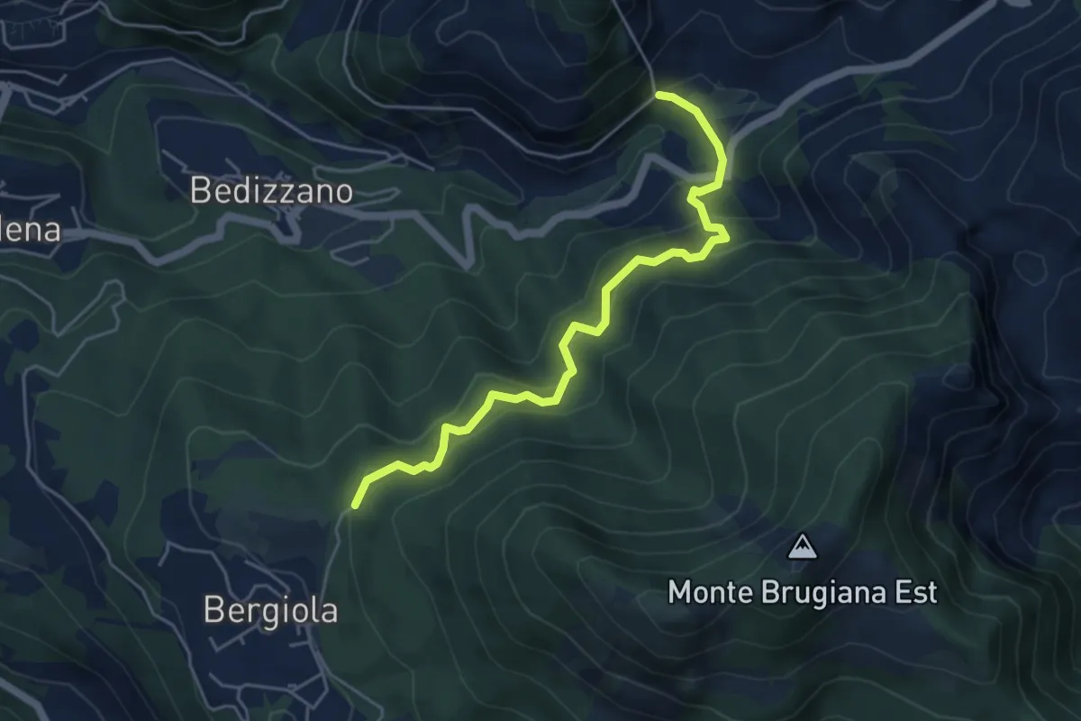
Medium · Trail
Sentiero dei Cavatori
5.0 km · ↑ 484 m · 2 h 13 min · 15 km away