Trails near Pieve di Cadore
162 hikes starting within 15 km, nearest first.
Nearest first, page 2 of 4
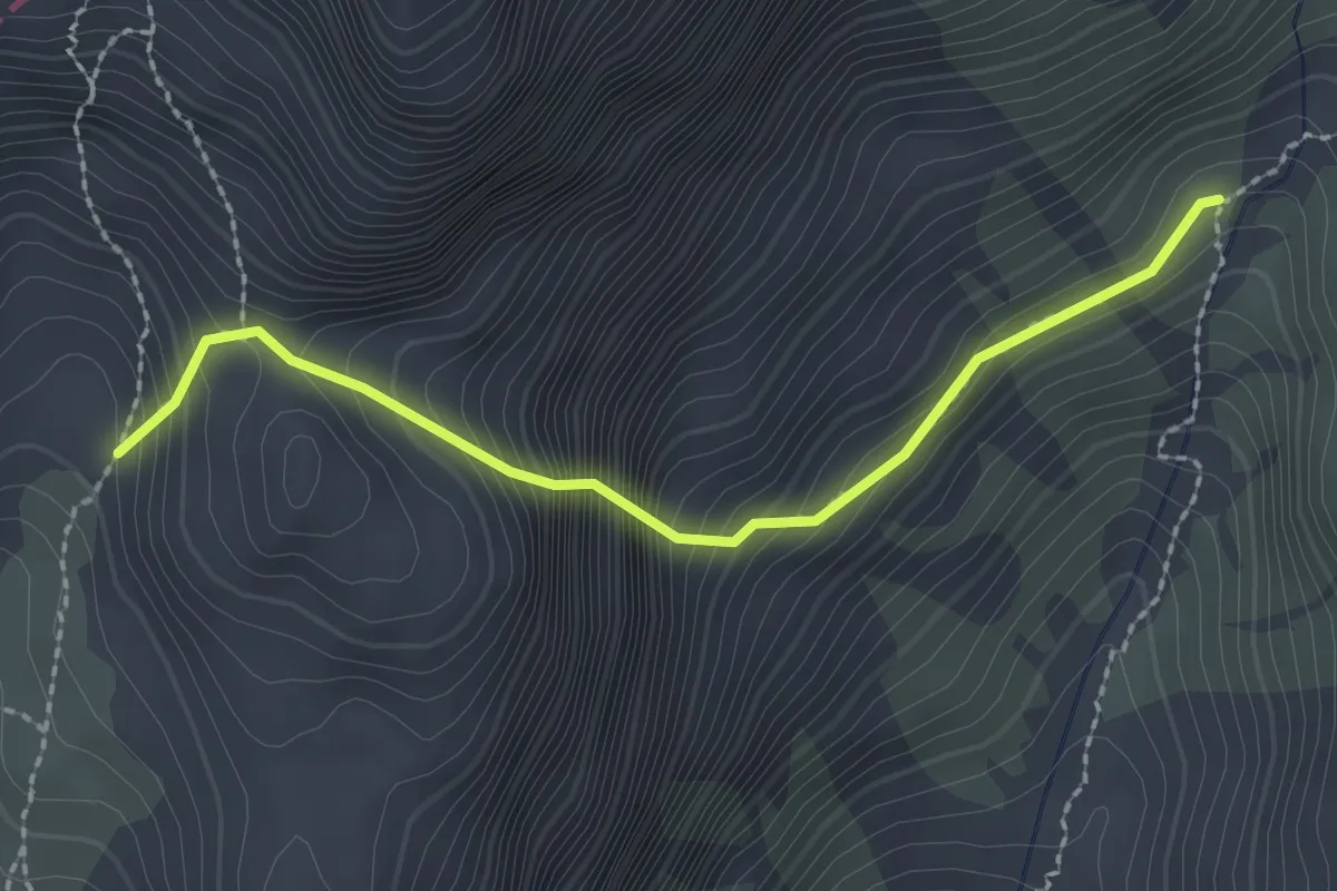
Expert · Trail
Bivacco Perugini (quota 2060 m) – Bivio Sentiero 349 (quota 1850 m)
2.3 km · ↑ 377 m · 1 h 21 min · 9 km away
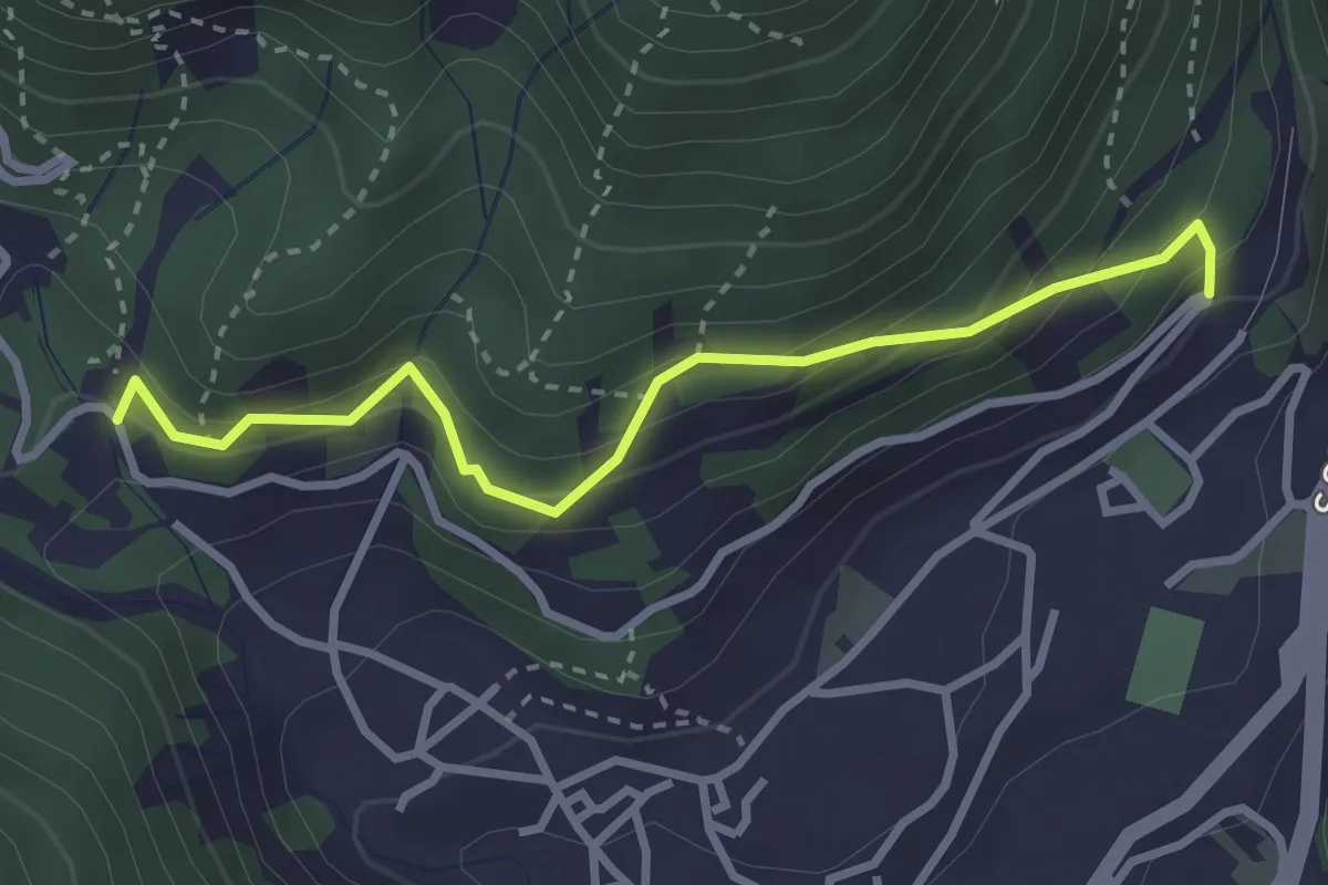
Easy · Trail
Sentiero Botanico Tita Poa
3.1 km · ↑ 267 m · 1 h 18 min · 9 km away
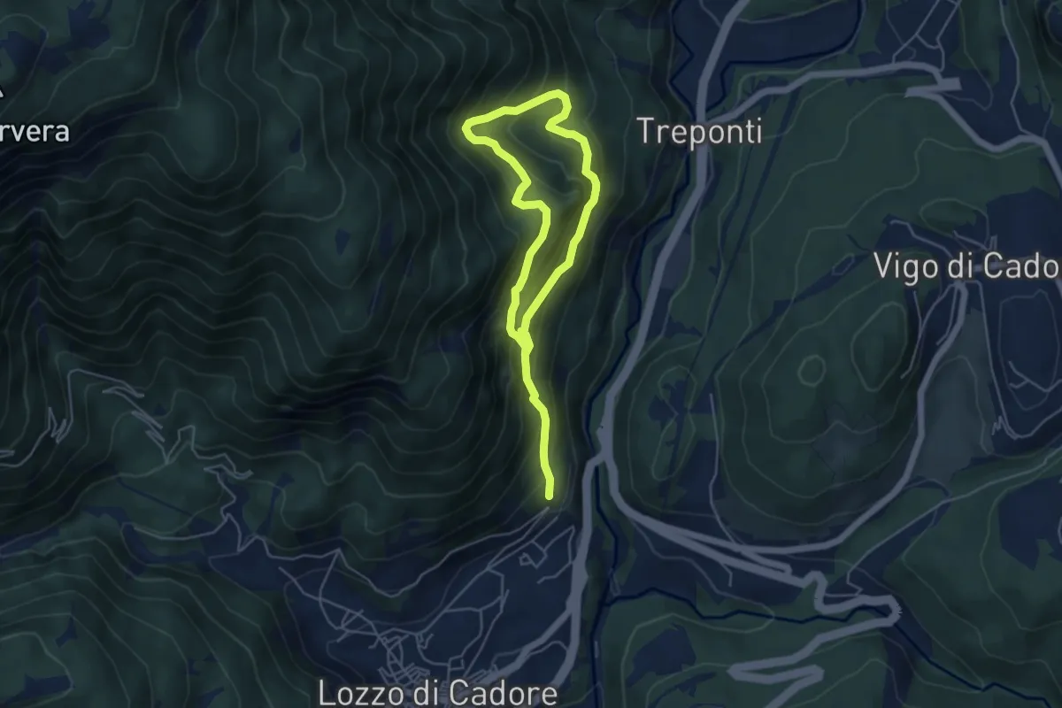
Medium · Trail
Anello del Troi de le Ciaure
3.6 km · ↑ 484 m · 1 h 54 min · 9 km away
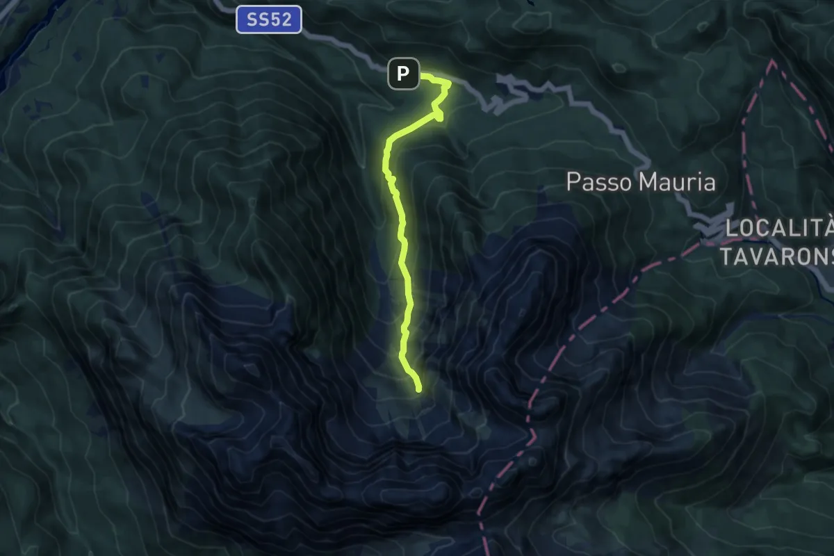
Medium · Trail
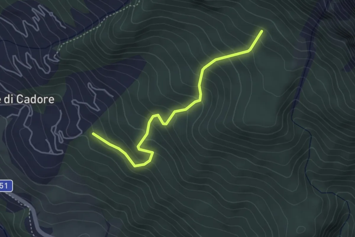
Borbe, pressi del Bar Pineta – Alta Val Cridola - innesto su sentiero 340
8.4 km · ↑ 671 m · 3 h 27 min · 9 km away
Medium · Trail
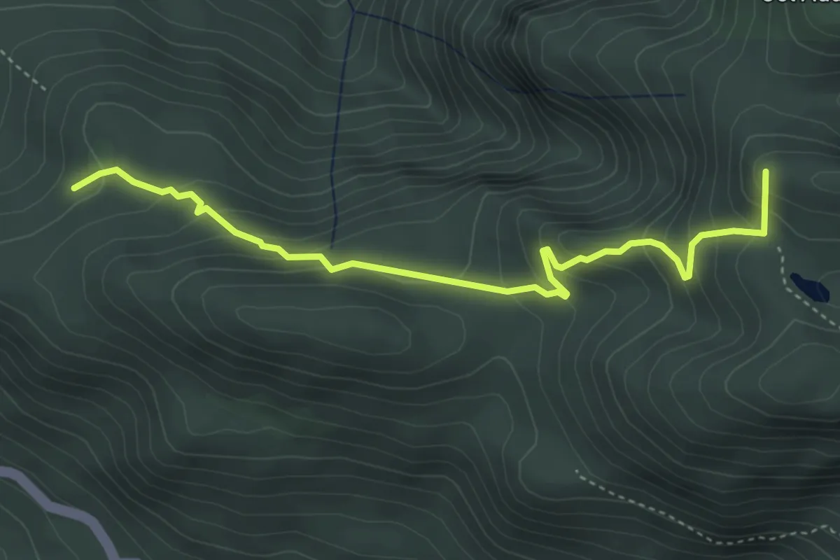
Vodo - Costa Sonvigo – Innesto sent. n.230
4.0 km · ↑ 370 m · 1 h 44 min · 9 km away
Medium · Summit
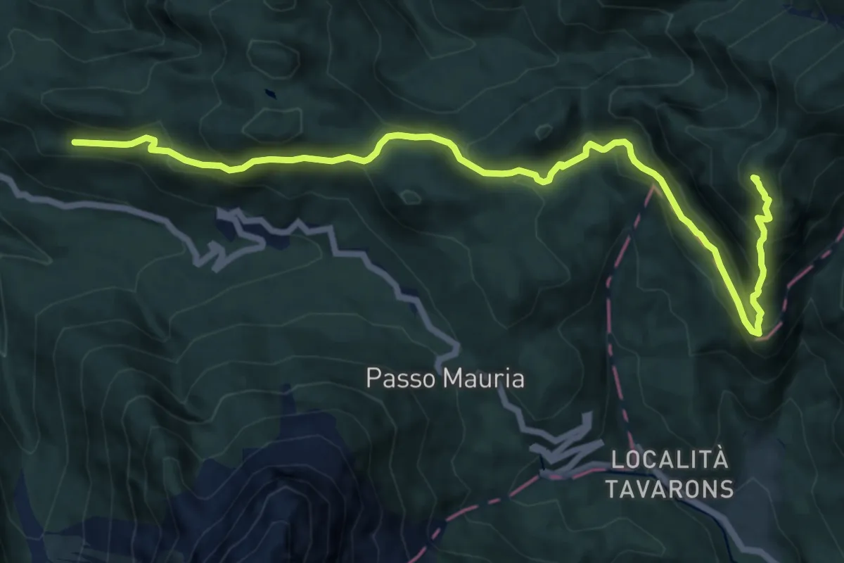
da strada dopo Averto – dopo Fienili Ghirlo, innesto su sent. 336
4.4 km · ↑ 326 m · 1 h 45 min · 9 km away
Demanding · Summit
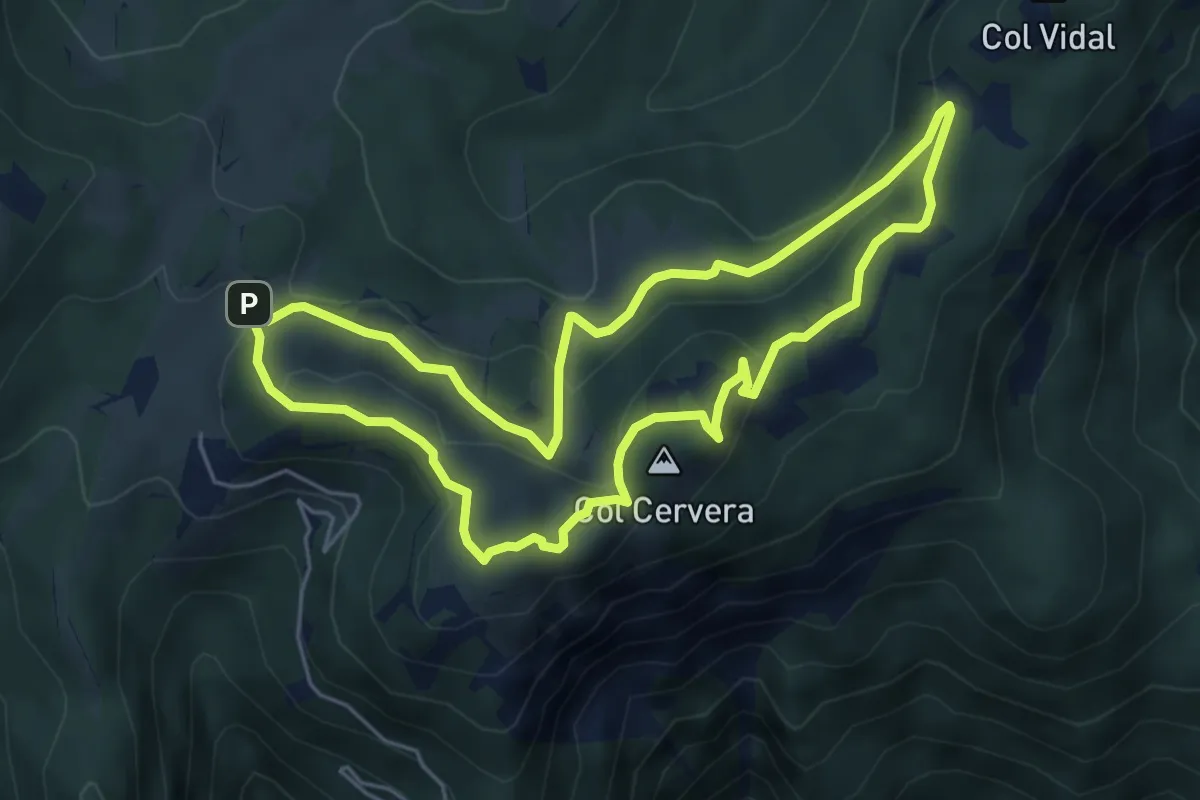
Lorenzago - Castello di Mirabello (quota 1030 m) – Casera Doana (quota 1911 m)
13.4 km · ↑ 905 m · 5 h 7 min · 9 km away
Medium · Summit
Anello dei Colli
5.2 km · ↑ 237 m · 1 h 49 min · 9 km away
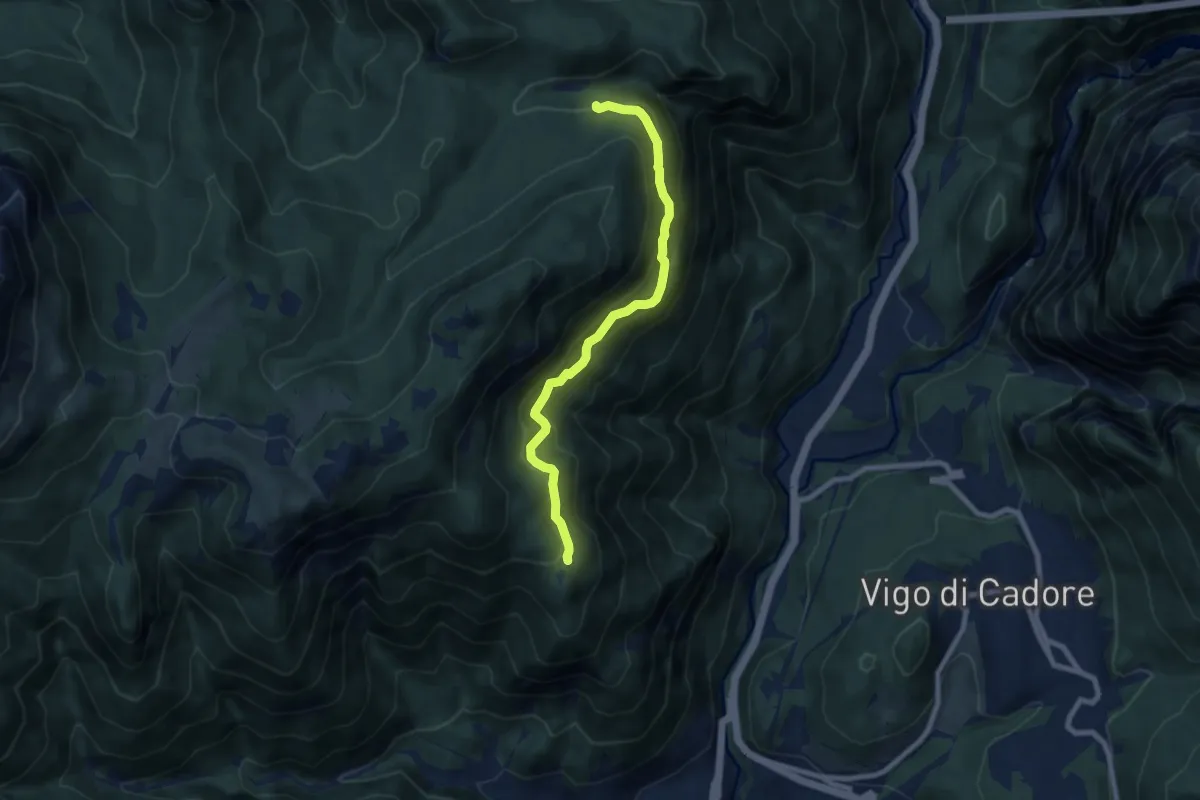
Medium · Trail
Via dei Silenzi
7.6 km · ↑ 581 m · 3 h 4 min · 10 km away
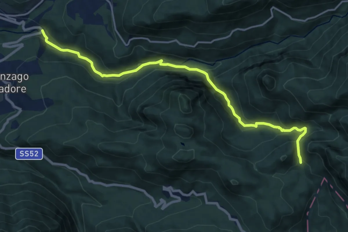
Demanding · Trail
Da S.S. 52 a Pian de Martin – Pian de Stabie - innesto sentiero 336
12.6 km · ↑ 875 m · 4 h 53 min · 10 km away
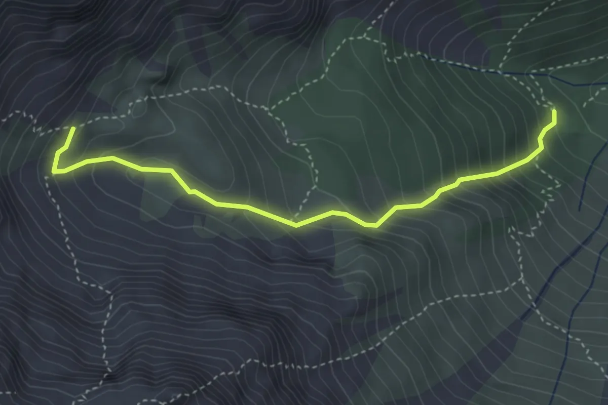
Medium · Cabin
Rifugio Giàf (quota 1400 m) – bivio sentiero 346 Clapon dal Gravon (quota 1850 m)
3.7 km · ↑ 453 m · 1 h 51 min · 10 km away
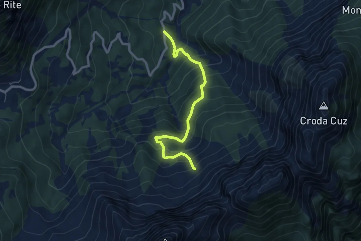
Medium · Trail
Cibiana - Località Ciarezarego – dopo Casera de le Ronces - innesto sentiero 481
5.5 km · ↑ 523 m · 2 h 26 min · 10 km away
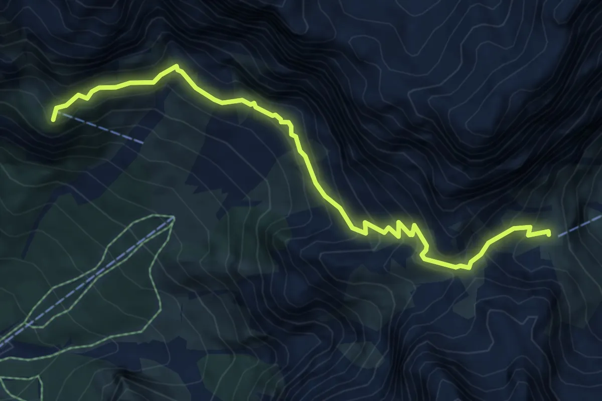
Medium · Summit
Rifugio San Marco – Rifugio Galassi
7.5 km · ↑ 775 m · 3 h 27 min · 10 km away
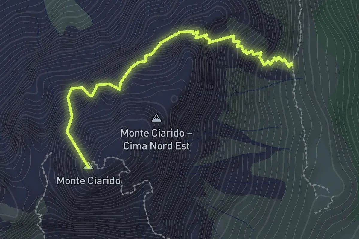
Medium · Summit
Sentiero attrezzato Amalio Da Pra
2.8 km · ↑ 671 m · 2 h 7 min · 10 km away
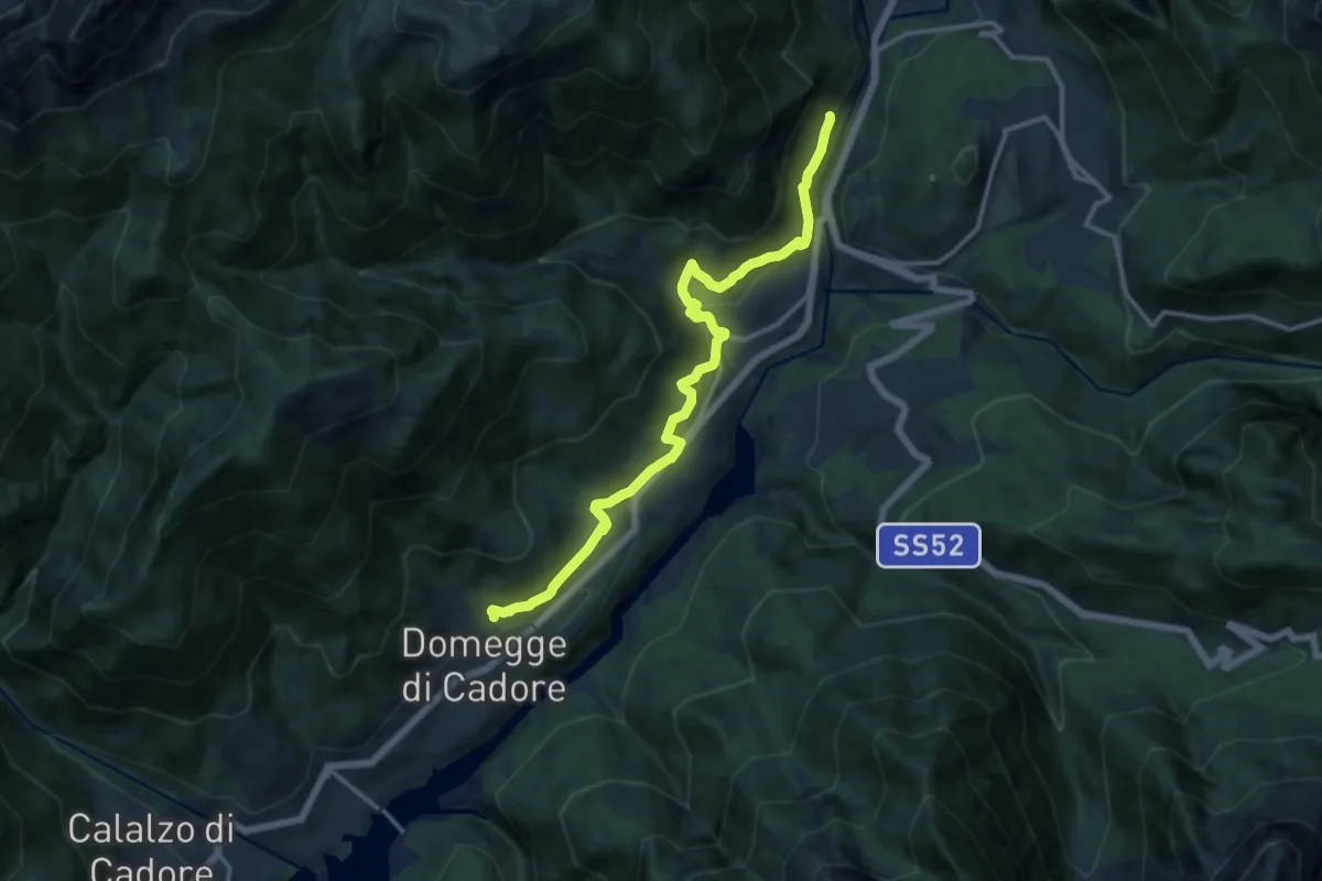
Medium · Trail
Traversata del Centro Cadore
14.0 km · ↑ 589 m · 4 h 35 min · 10 km away
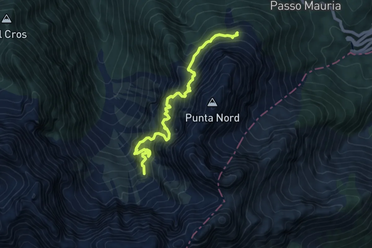
Expert · Trail
Sentiero attrezzato "Giovanni Olivato"
8.0 km · ↑ 1588 m · 5 h 19 min · 10 km away
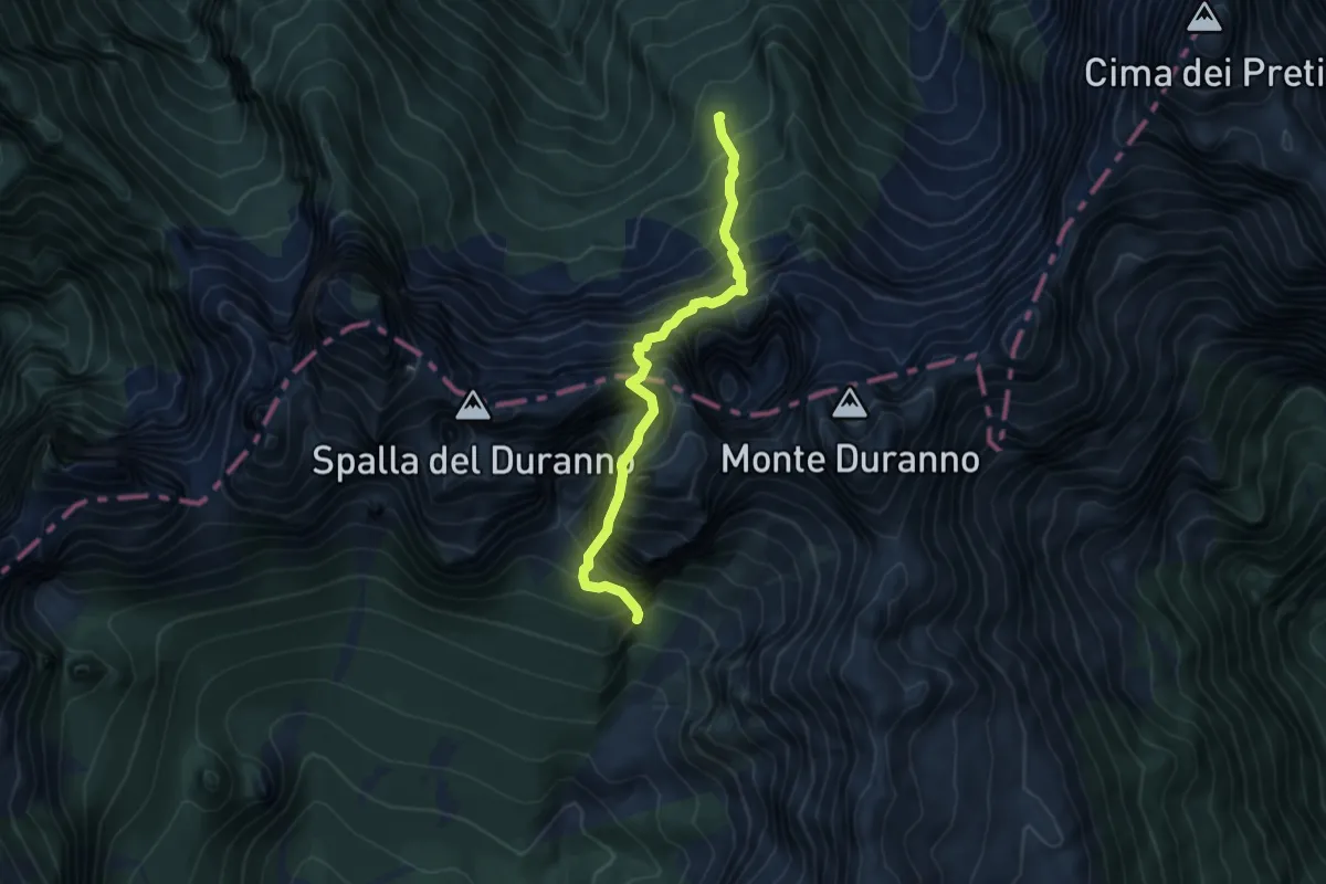
Expert · Cabin
Rifugio Maniago (quota 1730 m) – Forcella della Spalla del Duranno (quota 2127 m)
5.2 km · ↑ 1381 m · 4 h 14 min · 10 km away
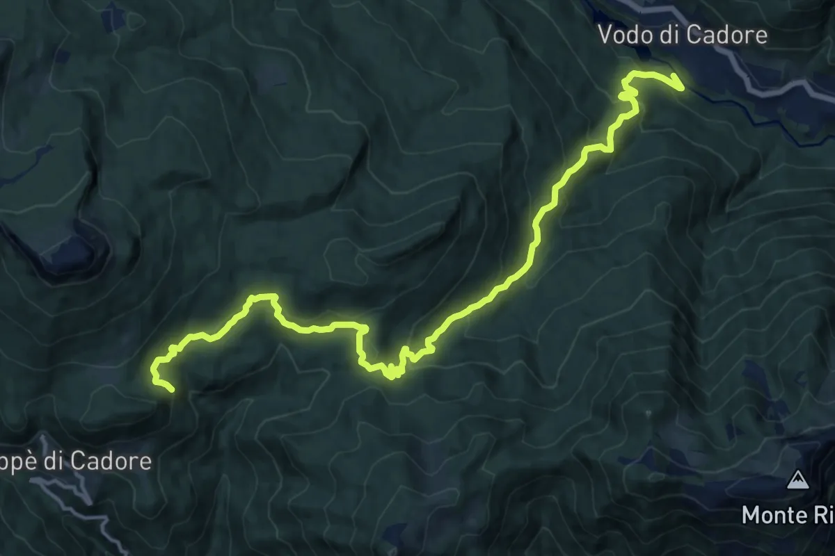
Demanding · Trail
Zoppè - Le Fraine – Vodo di Cadore
17.3 km · ↑ 949 m · 6 h 8 min · 10 km away
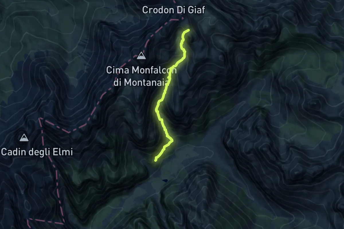
Demanding · Summit
Rifugio Pordenone (quota 1249 m) – Bivacco Marchi-Granzotto (quota 2170 m)
7.7 km · ↑ 1015 m · 4 h 2 min · 10 km away
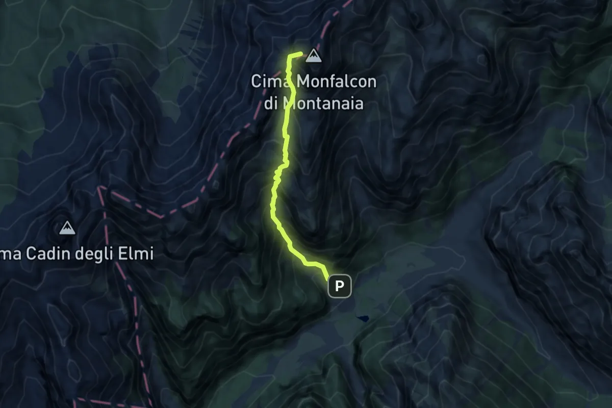
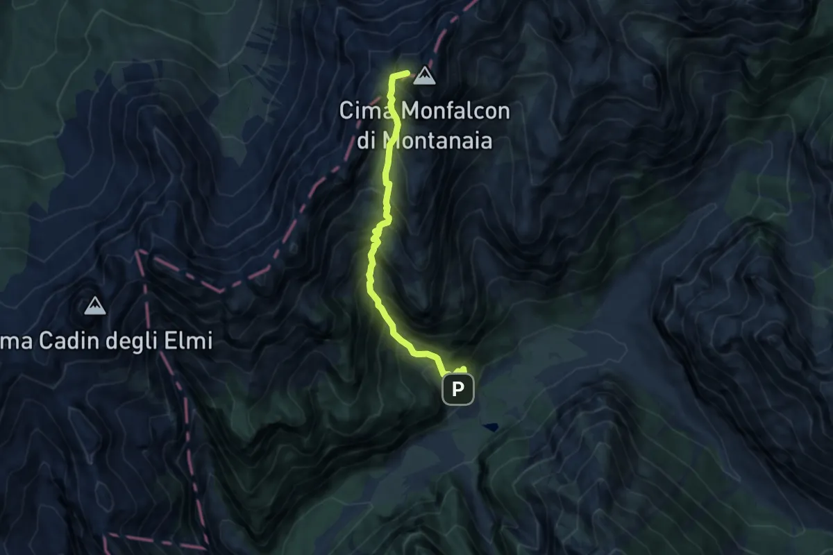
Demanding · Summit
Via Alpina Yellow B17
6.8 km · ↑ 1190 m · 4 h 11 min · 10 km away
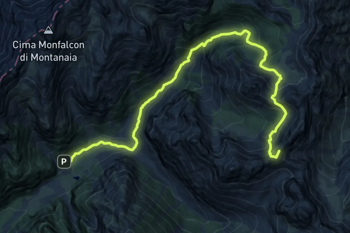
Demanding · Summit
Rifugio Pordenone (quota 1249 m) – Rifugio Padova (quota 1267 m)
7.3 km · ↑ 1241 m · 4 h 25 min · 10 km away
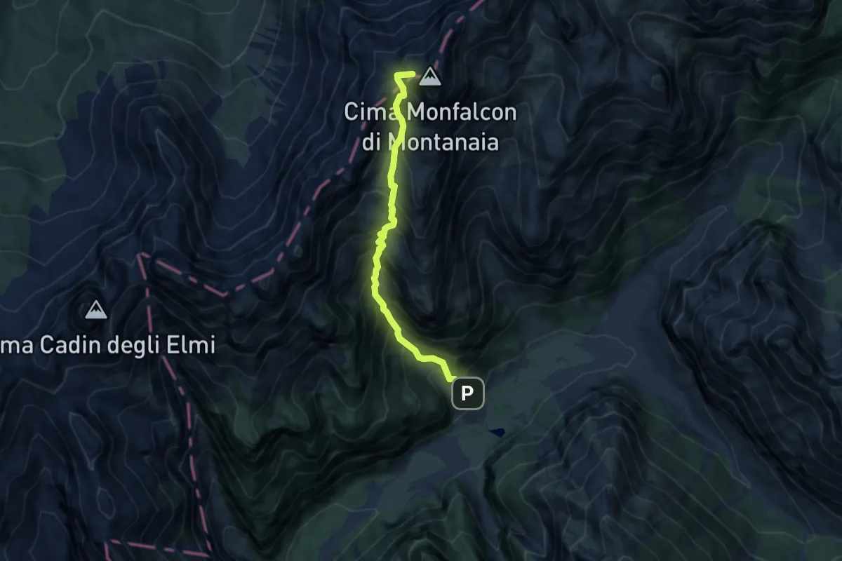
Demanding · Summit
Dolomites World Heritage Geotrail 24
18.2 km · ↑ 1334 m · 7 h 11 min · 10 km away
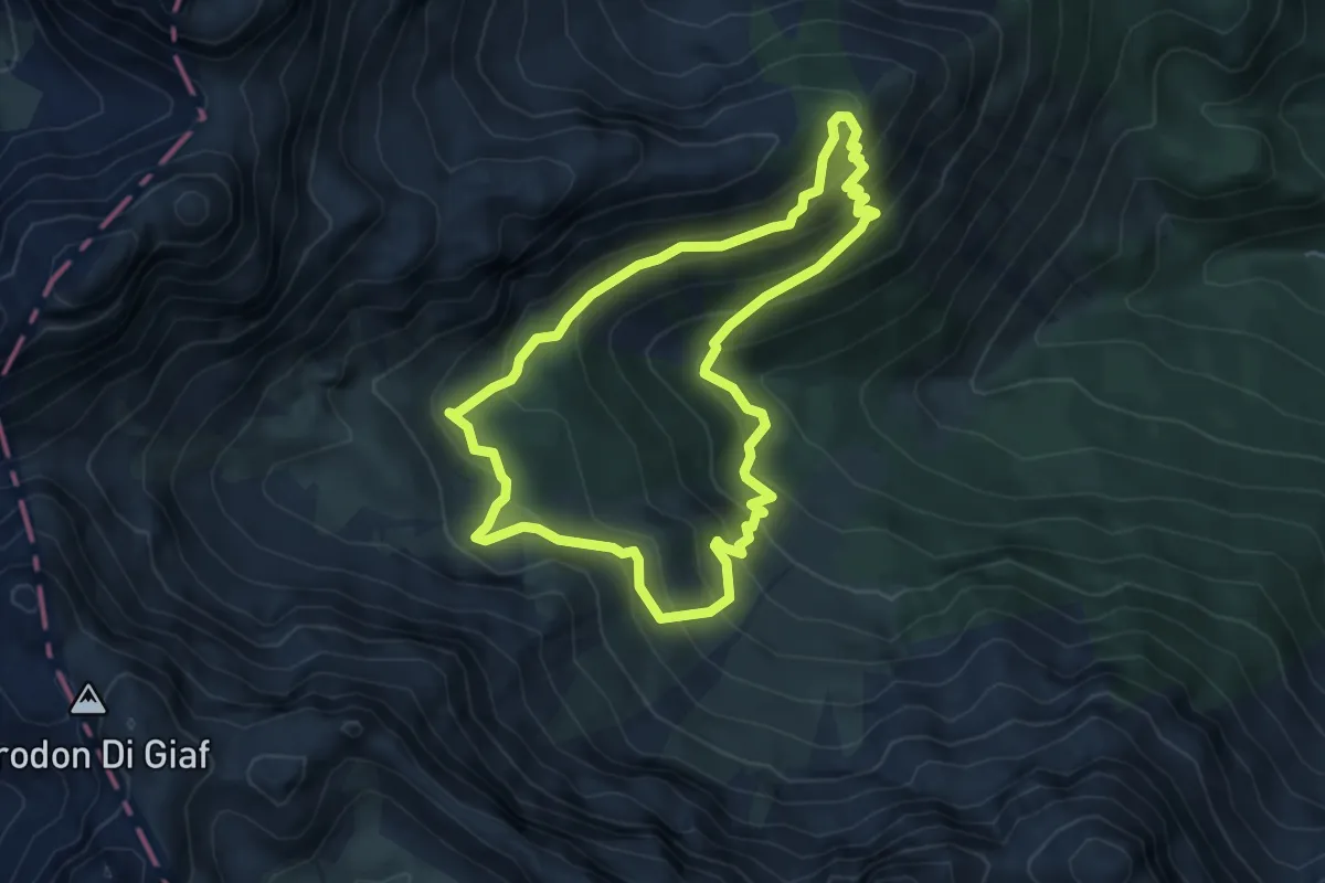
Expert · Summit
Dolomites World Heritage Geotrail 23
7.0 km · ↑ 1251 m · 4 h 22 min · 10 km away
Medium · Summit
Anello di Bianchi
4.8 km · ↑ 444 m · 2 h 10 min · 10 km away
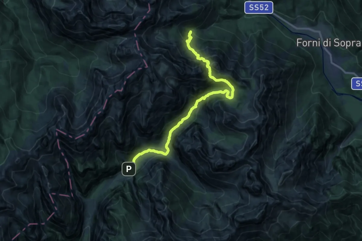
Demanding · Cabin
Rifugio Giàf (quota 1400 m) – Rifugio Pordenone (quota 1249 m)
10.1 km · ↑ 878 m · 4 h 19 min · 10 km away
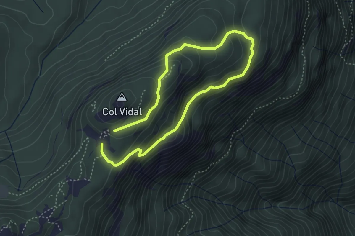
Medium · Summit
Anello dei Forti
3.0 km · ↑ 143 m · 1 h 4 min · 10 km away
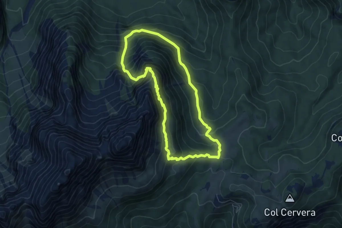
Demanding · Trail
Anello del Paradiso
6.3 km · ↑ 608 m · 2 h 54 min · 11 km away
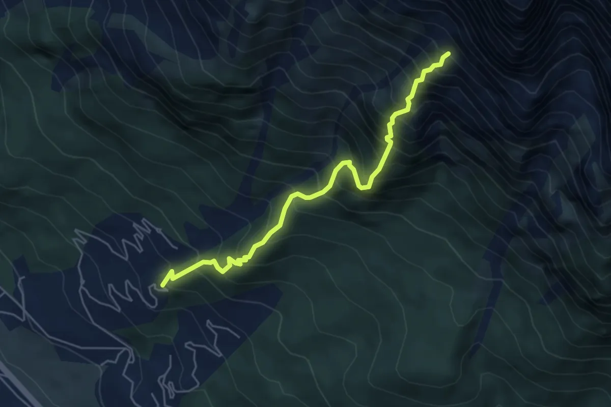
Demanding · Trail
Corte - ex Villaggio ENI- gruppo ville 100 – Busa della Ciaudièra - ex Bivacco Brunetta
5.2 km · ↑ 966 m · 3 h 19 min · 11 km away
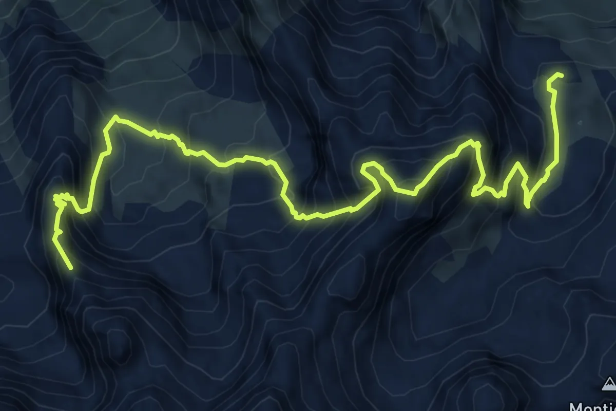
Expert · Summit
Alta via n. 5 delle Dolomiti - V Tappa
9.8 km · ↑ 1304 m · 5 h 9 min · 11 km away
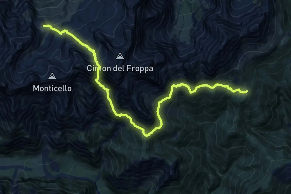
Expert · Cabin
Alta via n. 5 delle Dolomiti - IV Tappa
9.6 km · ↑ 862 m · 4 h 28 min · 11 km away
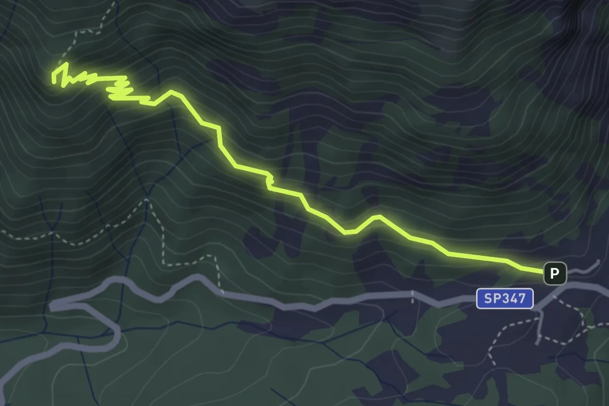
Medium · Summit
Forcella Cibiana - Rifugio Remauro – Forcella Deona o de Rite - inn. sent. 478
4.7 km · ↑ 421 m · 2 h 2 min · 11 km away
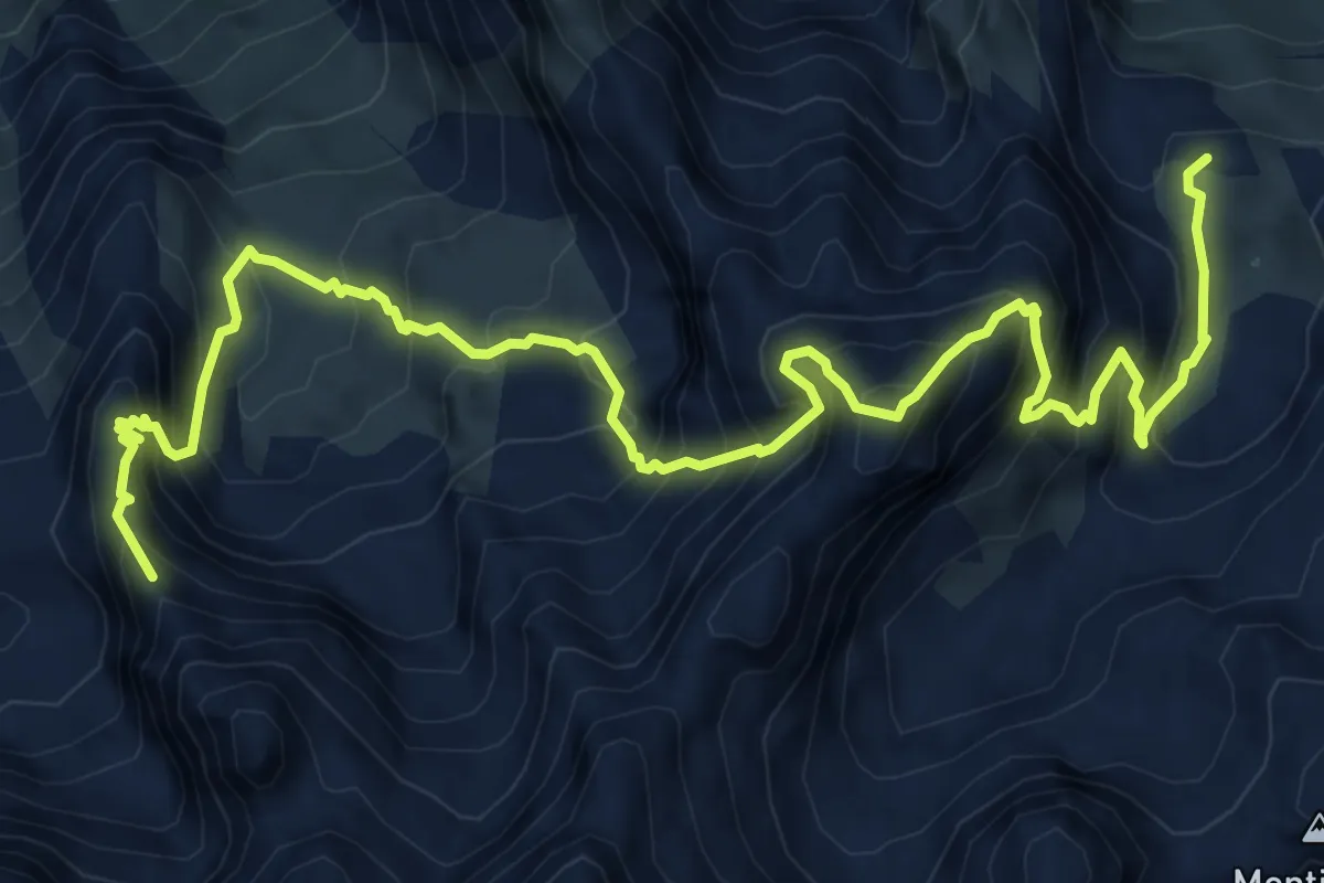
Expert · Summit
Sentiero attrezzato Antonio Sanmarchi
9.8 km · ↑ 1316 m · 5 h 10 min · 11 km away
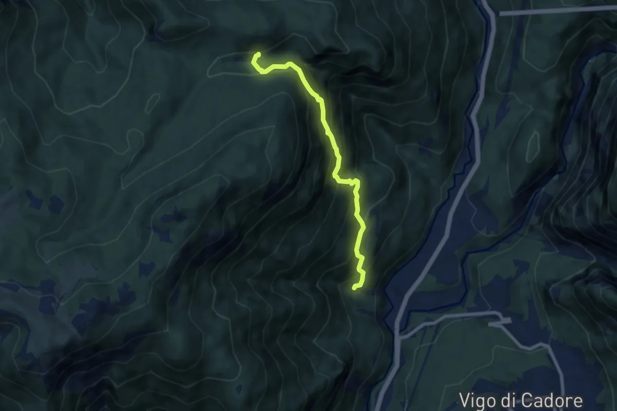
Medium · Trail
la Poiata (da strada Cornon-Faé) – Casone di Campiviei
6.3 km · ↑ 681 m · 2 h 58 min · 11 km away
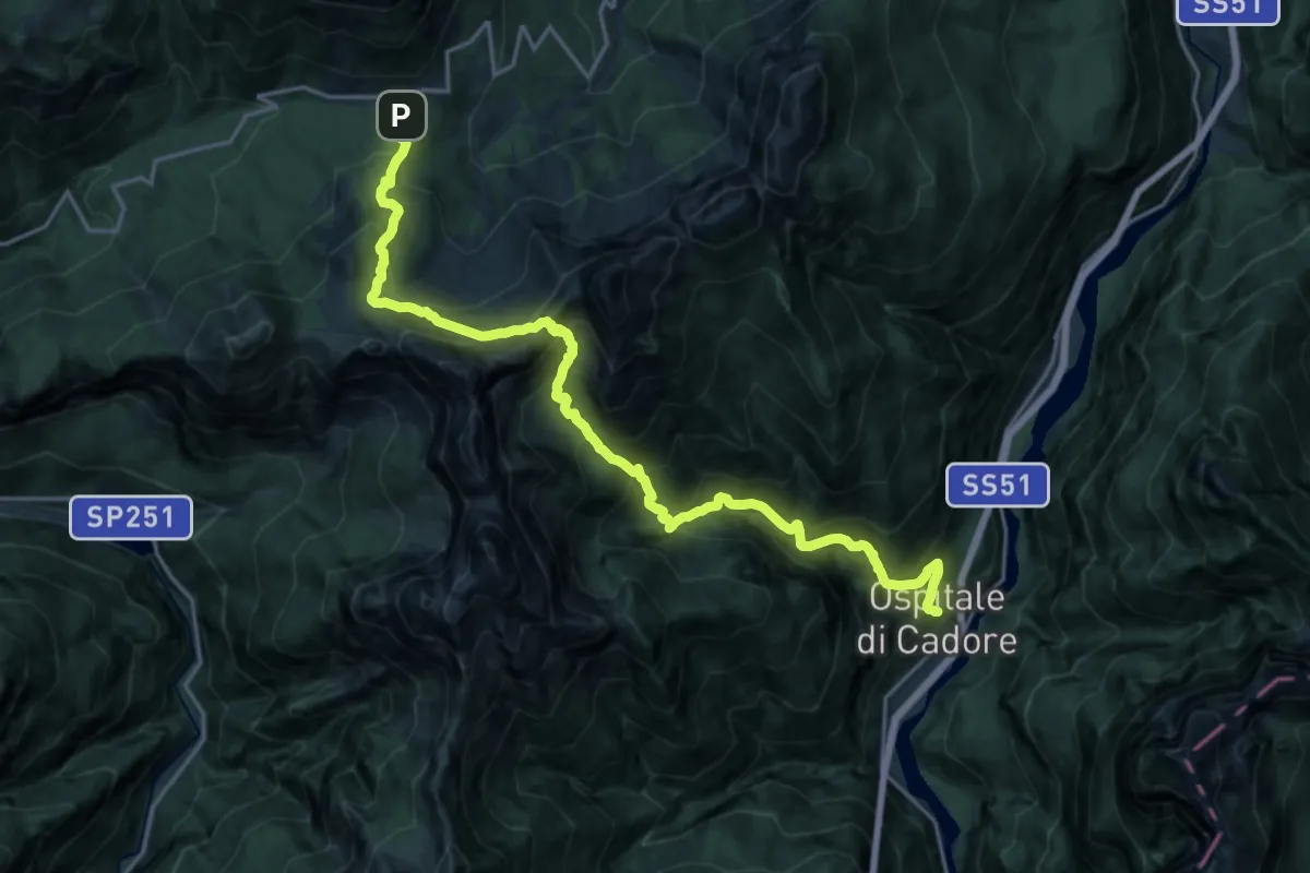
Medium · Trail
Ospitale Alto – Passo Cibiana-Tabià Deona
10.6 km · ↑ 676 m · 4 h 37 min · 11 km away
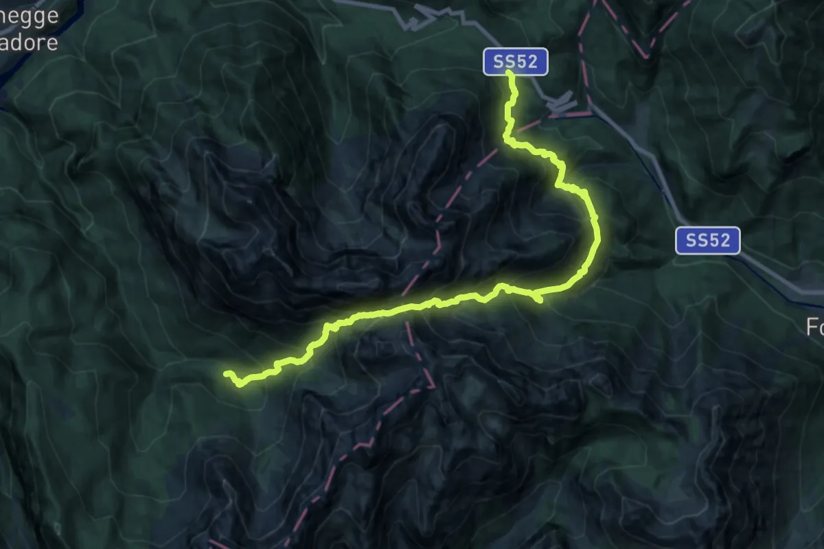
Demanding · Cabin
Dolomites World Heritage Geotrail 22bis
11.5 km · ↑ 1157 m · 5 h 24 min · 11 km away
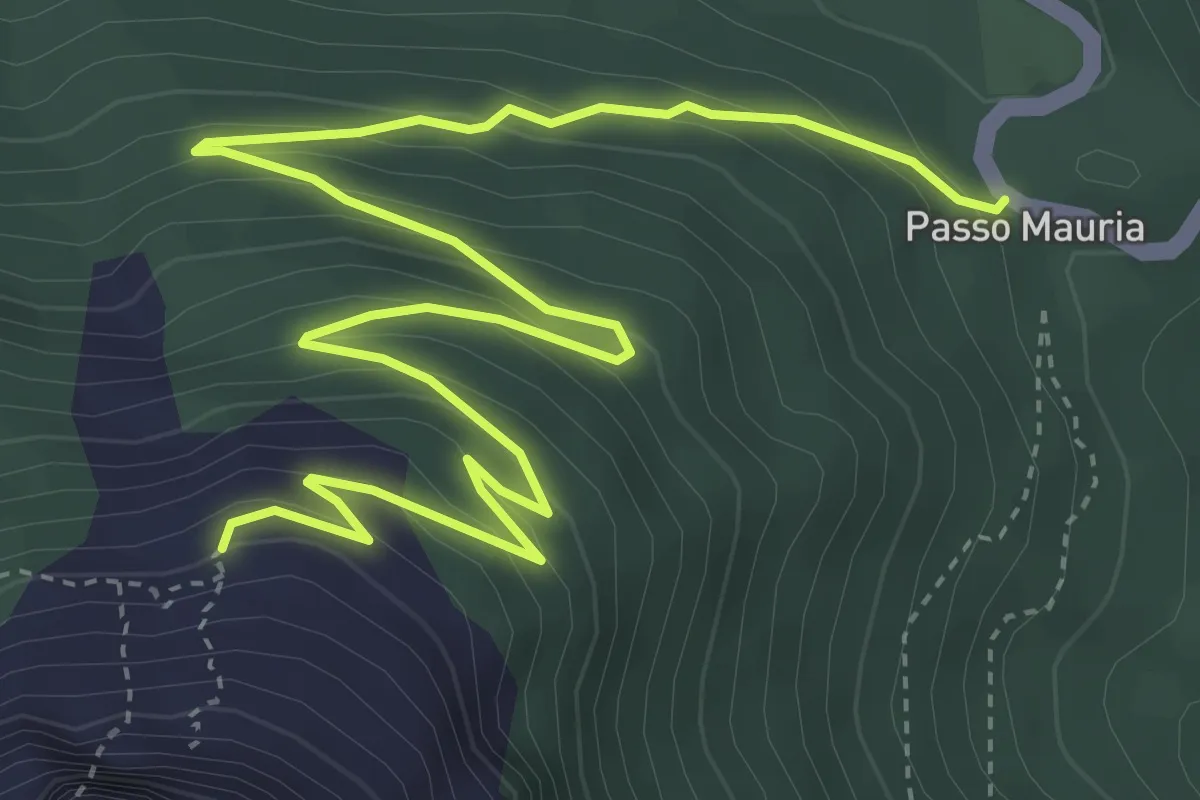
Medium · Trail
Passo Mauria – Ricovero Miaron
6.1 km · ↑ 392 m · 2 h 17 min · 11 km away
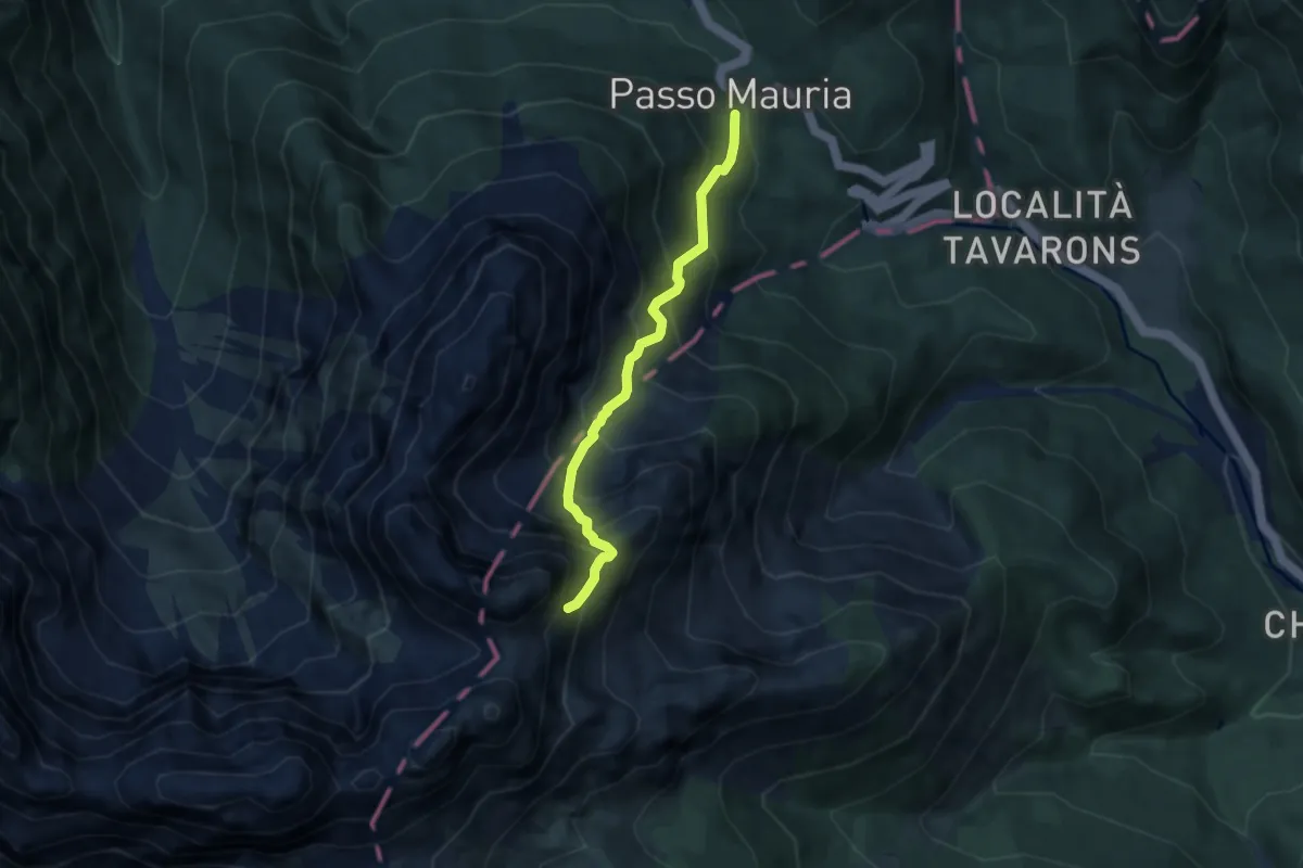
Expert · Trail
Passo della Mauria (quota 1298 m) – Vallanut di Forni, la Mescala Raccordo sentiero 340 (quota 1900 m)
5.6 km · ↑ 824 m · 3 h 7 min · 11 km away
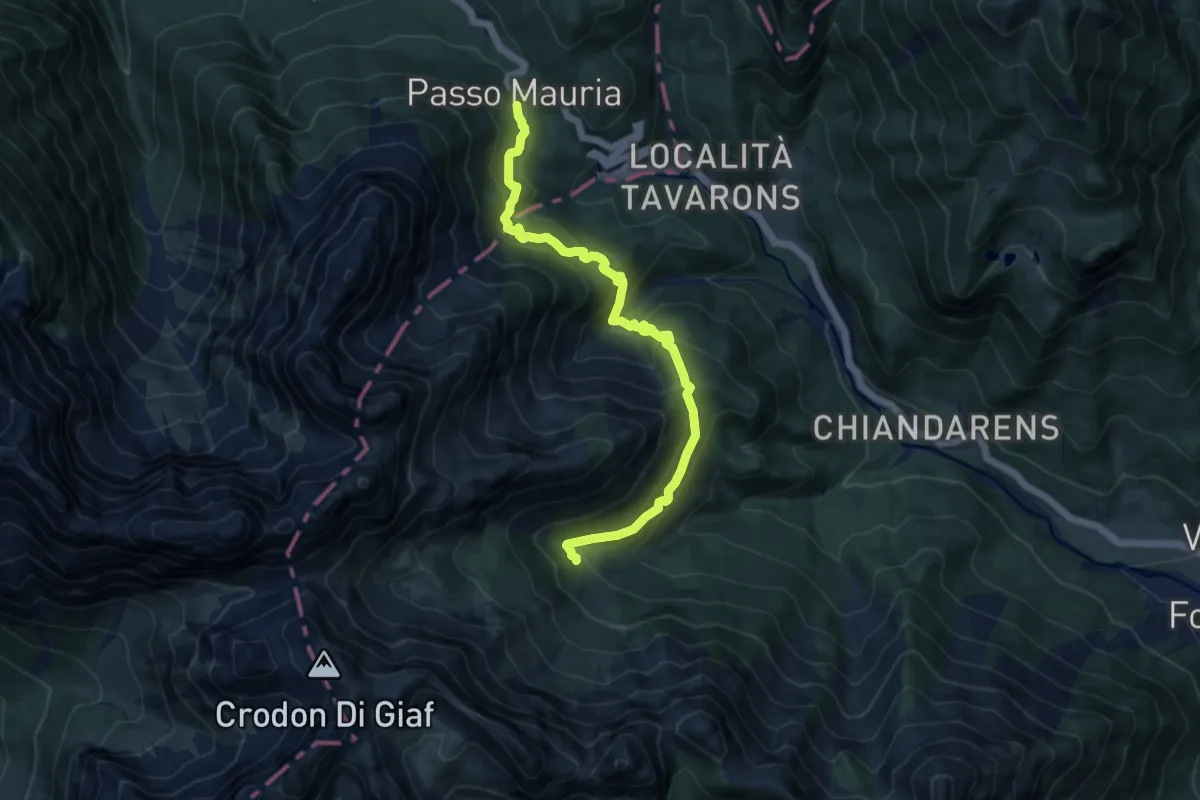
Demanding · Cabin
Passo della Mauria (quota 12980 m) – Rifugio Giaf (quota 1400 m)
10.8 km · ↑ 918 m · 4 h 32 min · 11 km away
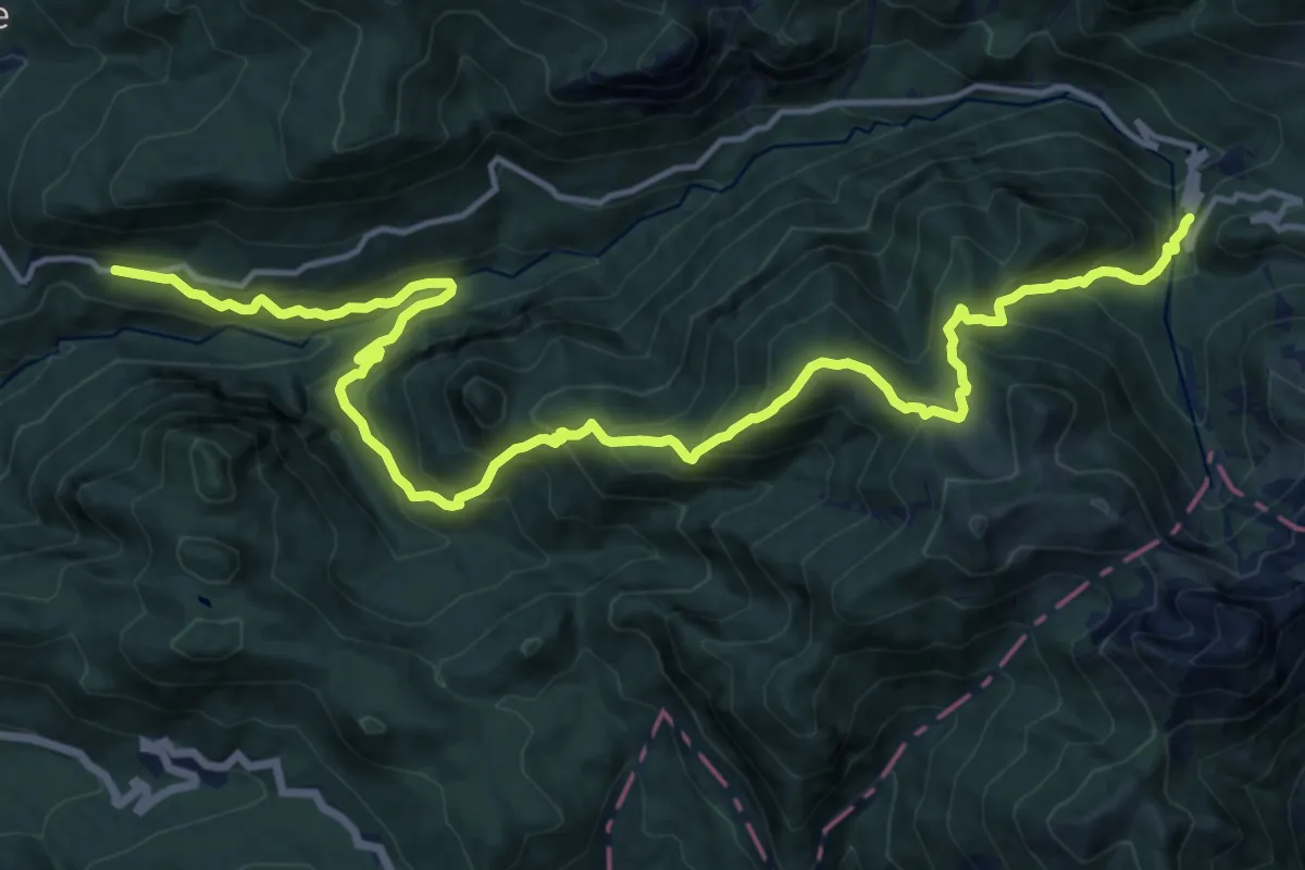
Demanding · Trail
SP 619 - F.li S. Osvaldo 1029 m – SP 619 - Val Larga - 1580 m
19.3 km · ↑ 1584 m · 7 h 59 min · 11 km away
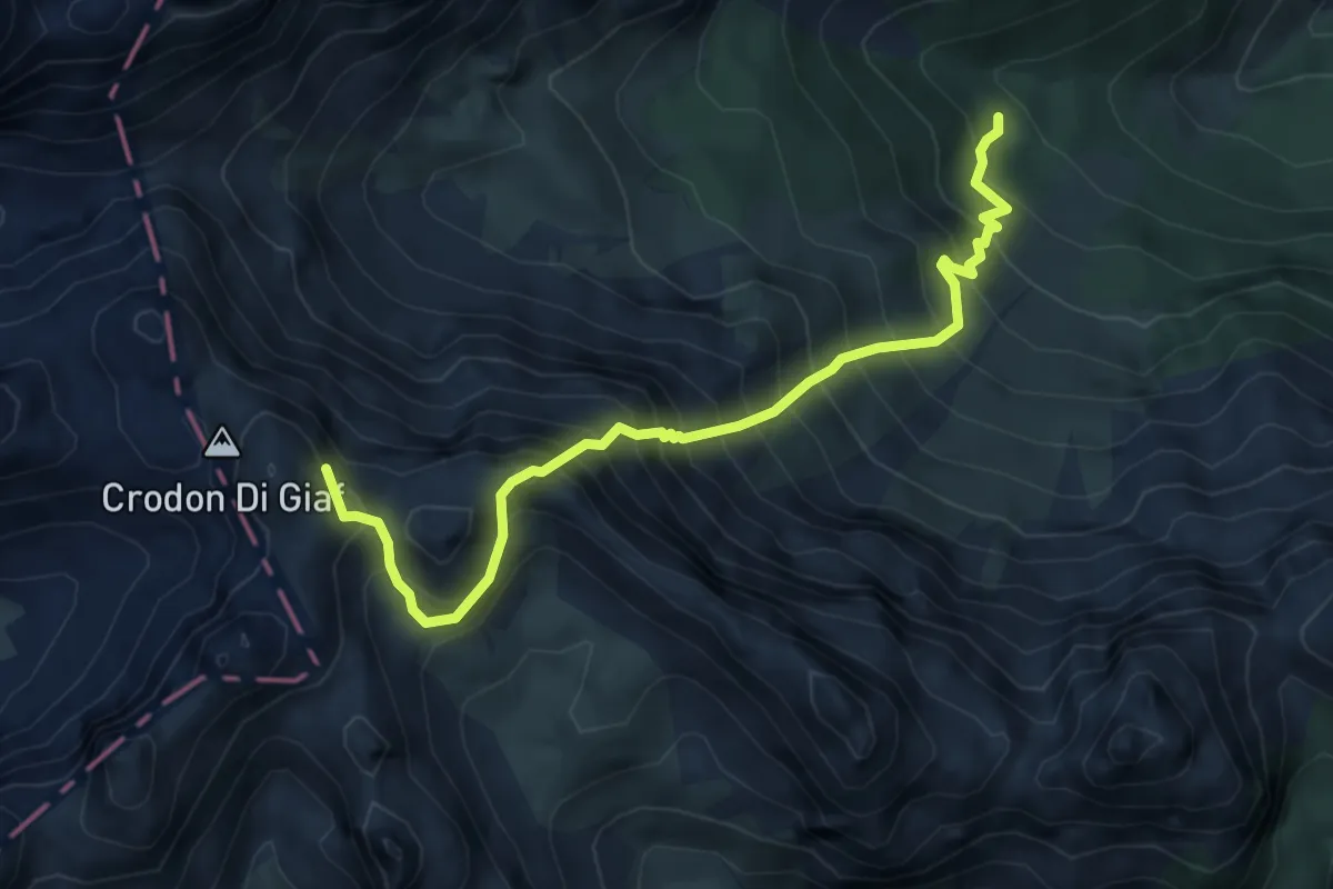
Expert · Summit
Rifugio Giaf (quota 1400 m) – Rifugio Padova (quota 1287 m)
5.7 km · ↑ 1044 m · 3 h 37 min · 11 km away
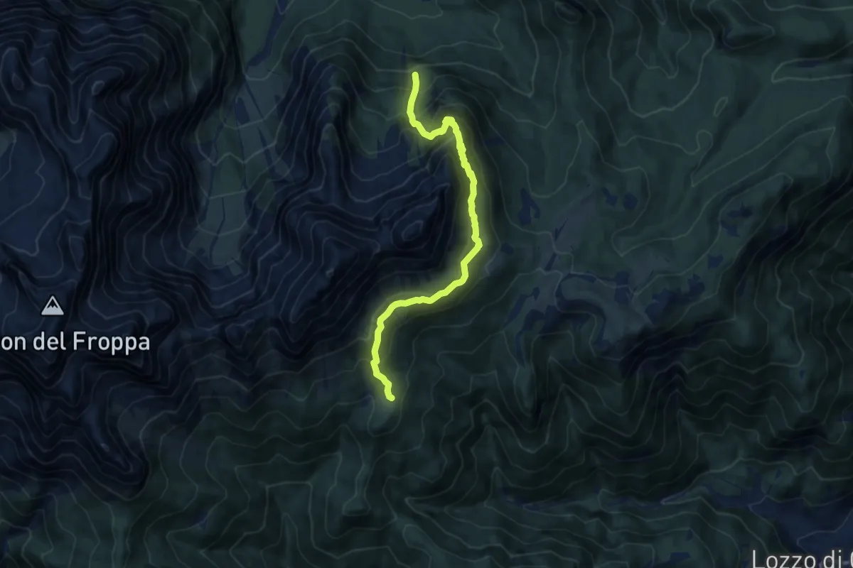
Demanding · Cabin
Pomadòna - da sentiero 273 – Rifugio Baion
9.7 km · ↑ 955 m · 4 h 22 min · 11 km away
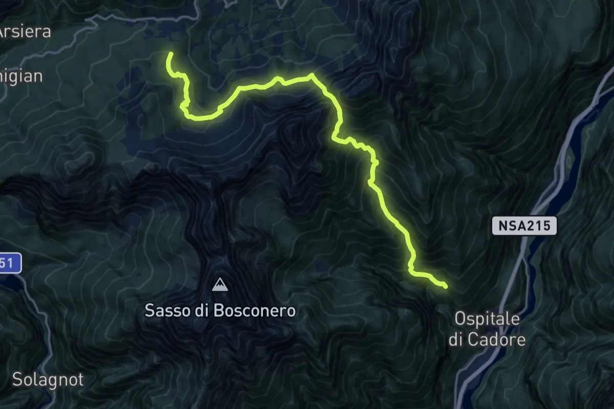
Medium · Trail
Ospitale di Cadore Località Festin – Forcellla Cibiana - Fienili Ronco
8.5 km · ↑ 606 m · 3 h 49 min · 11 km away
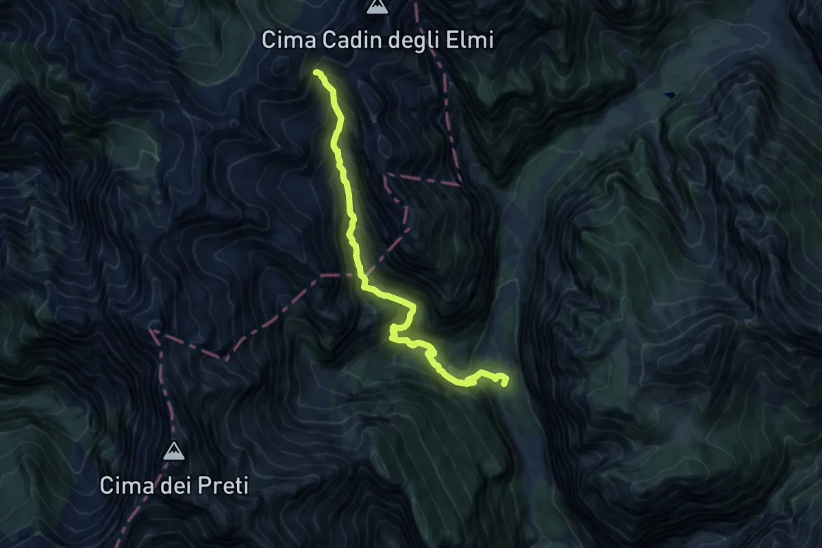
Demanding · Trail
Pian Fontana (Val Cimoliana) (quota 941 m) – Bivacco G. Gervasutti (quota 1940 m)
11.6 km · ↑ 1228 m · 5 h 25 min · 11 km away
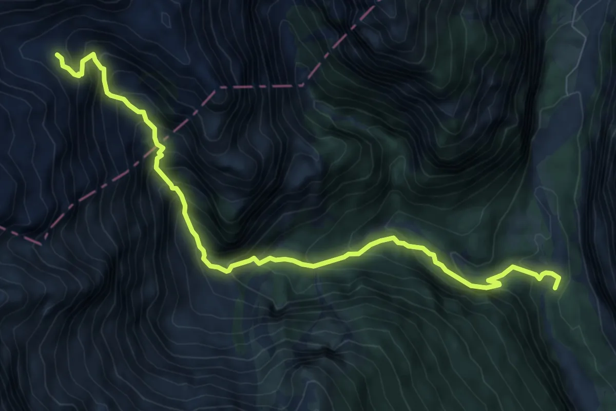
Demanding · Cabin
Pian Fontana, Val Cimoliana (quota 919 m) – Casera Laghet de Sora (quota 1871 m)
9.3 km · ↑ 934 m · 4 h 13 min · 11 km away
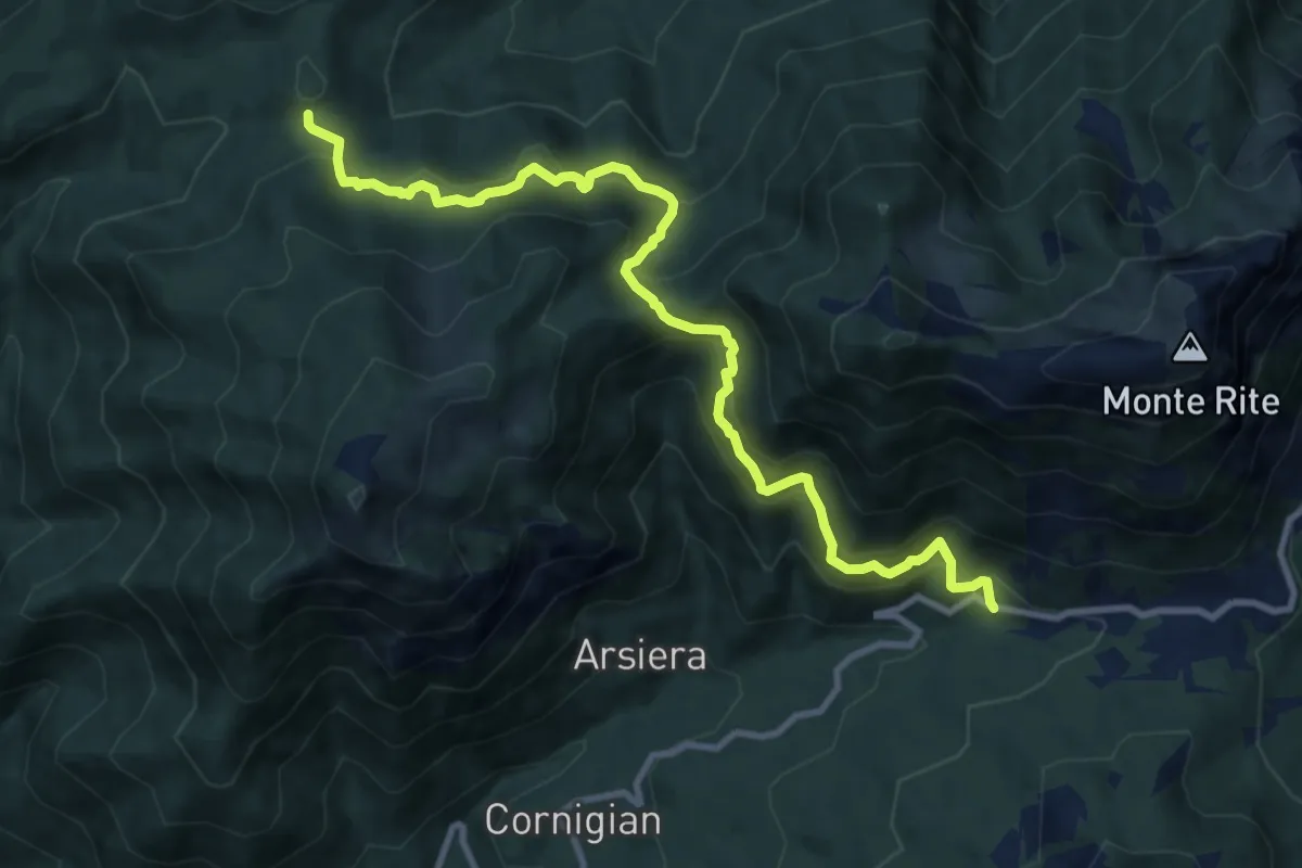
Medium · Cabin
Quattro Tabià, SP 347 km 62 – Rifugio G. Talamini
10.8 km · ↑ 791 m · 4 h 15 min · 12 km away
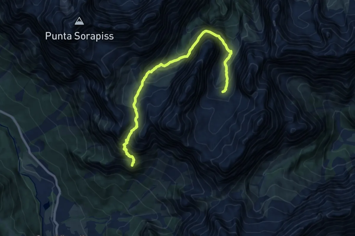
Demanding · Summit
Alta via n. 5 delle Dolomiti - VI Tappa
13.2 km · ↑ 1526 m · 6 h 25 min · 12 km away
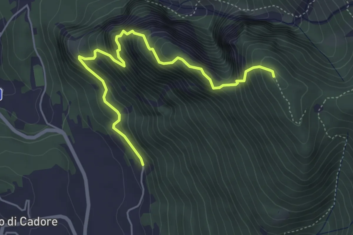
Demanding · Summit
nord di Laggio di Cadore, inizio strada sterrata per Col Ciampon – Laggio, da strada sterrata proveniente da Adies
5.1 km · ↑ 708 m · 2 h 44 min · 12 km away
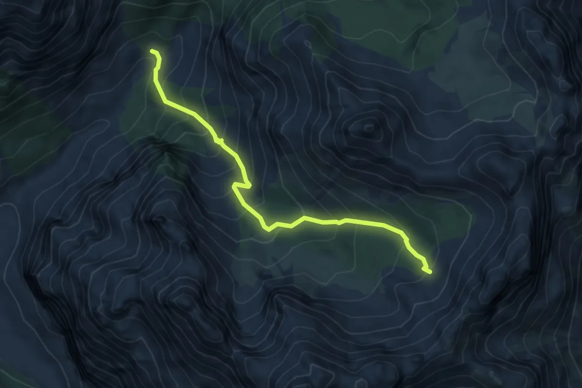
Medium · Trail
Caseruta dai Pecoli (Pechi) (quota 1363 m) – Bivio sentiero 369 (quota 1970 m)
5.6 km · ↑ 637 m · 2 h 43 min · 12 km away