Trails near Pieve di Cadore
162 hikes starting within 15 km, nearest first.
Nearest first, page 3 of 4
Medium · Cabin
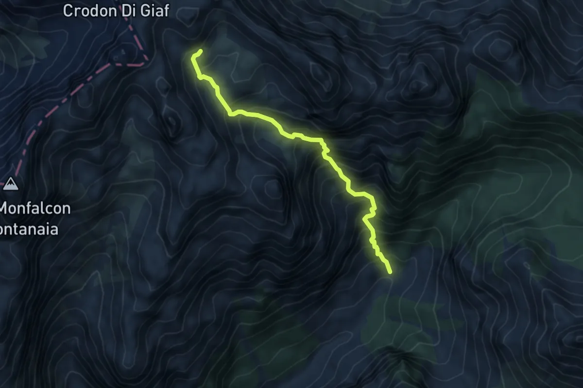
Caseruta dei Pecoli (Pechi) (quota 1363 m) – Bivacco Marchi Granzotto (quota 2152 m)
5.3 km · ↑ 798 m · 2 h 58 min · 12 km away
Medium · Trail
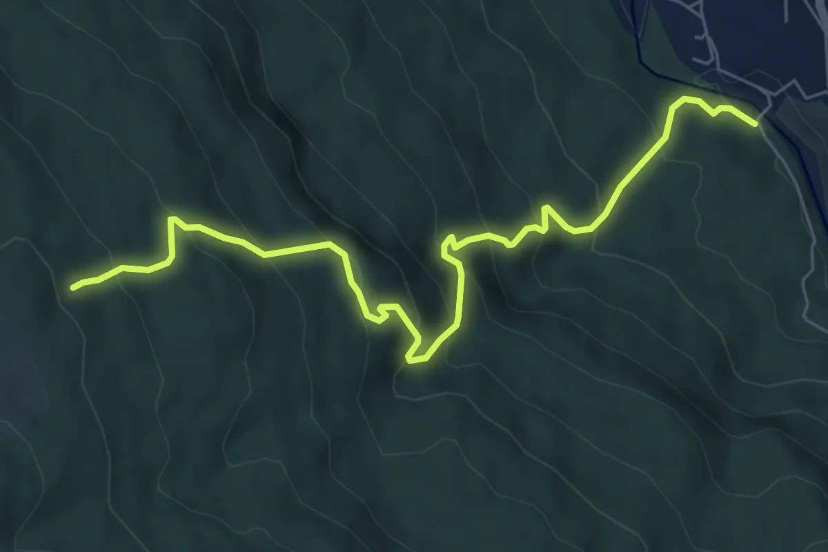
Borca - Ponte di Cancia – Malga Ciauta - inn. sent. 475
7.2 km · ↑ 612 m · 3 h 1 min · 12 km away
Demanding · Summit
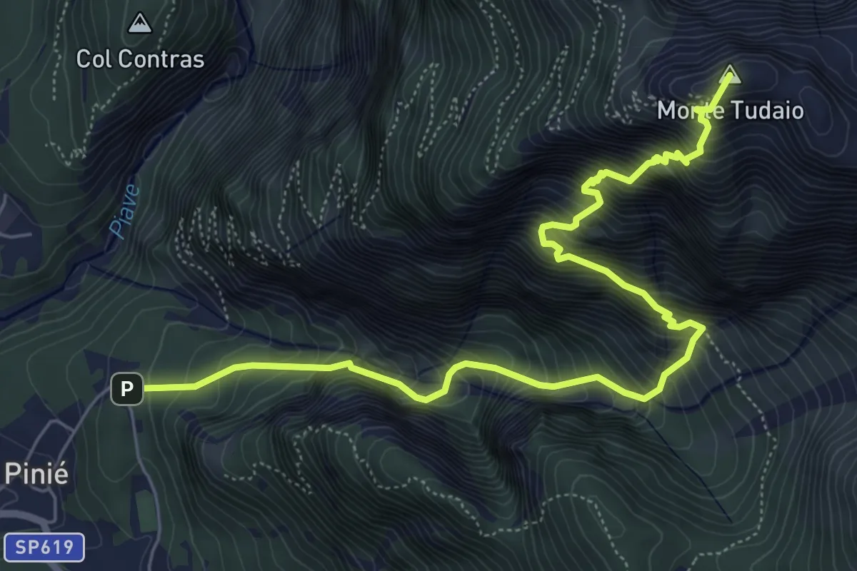
Sentiero attrezzato dei Mède
7.5 km · ↑ 1326 m · 4 h 39 min · 12 km away
Demanding · Trail
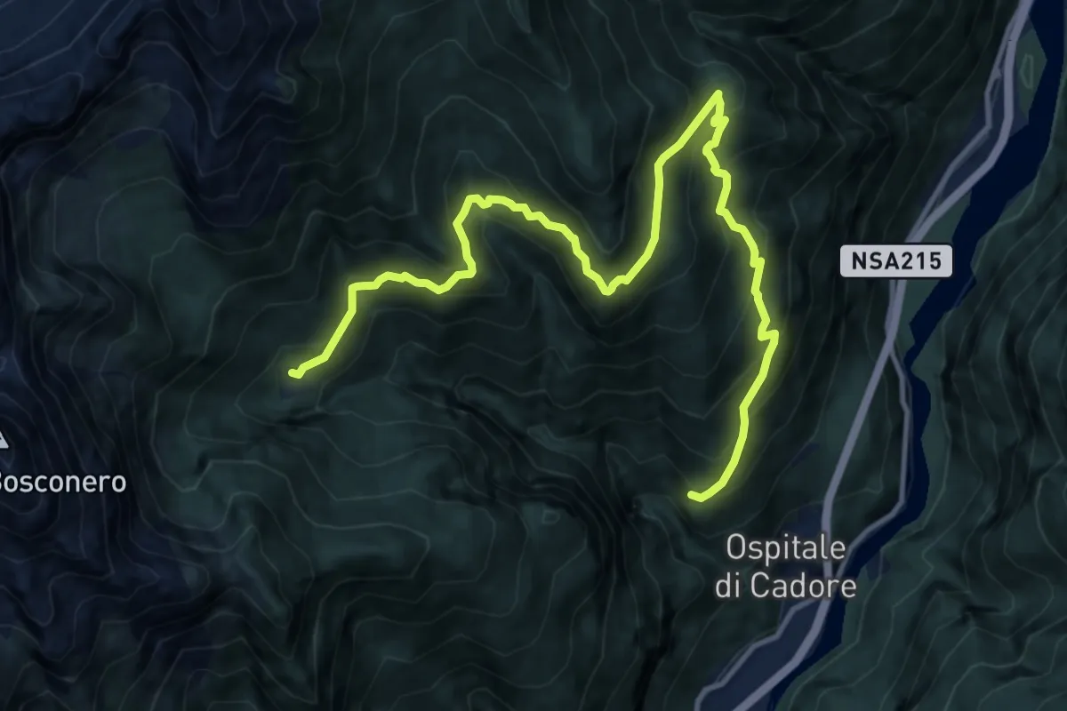
Festin - da sent. 483 – Casera Valbona - inn. sent. 483
13.7 km · ↑ 1190 m · 5 h 49 min · 12 km away
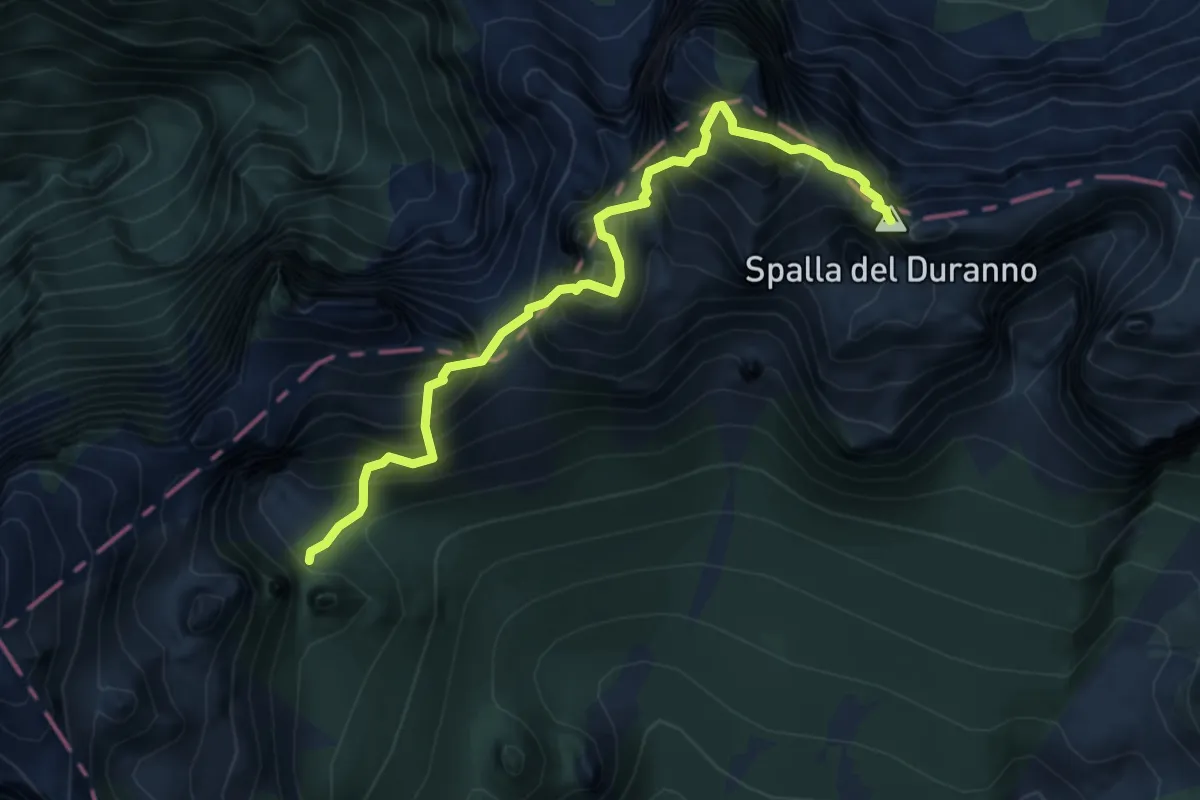
Expert · Summit
Sentiero attrezzato Osvaldo Zandonella
5.4 km · ↑ 1903 m · 5 h 24 min · 12 km away
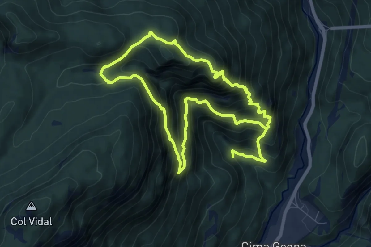
Medium · Summit
Anello di Ciampeviei
7.1 km · ↑ 794 m · 3 h 26 min · 12 km away
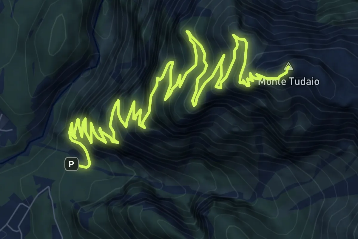
Demanding · Summit
Itinerario storico del Monte Tudaio
15.4 km · ↑ 1674 m · 7 h 16 min · 12 km away
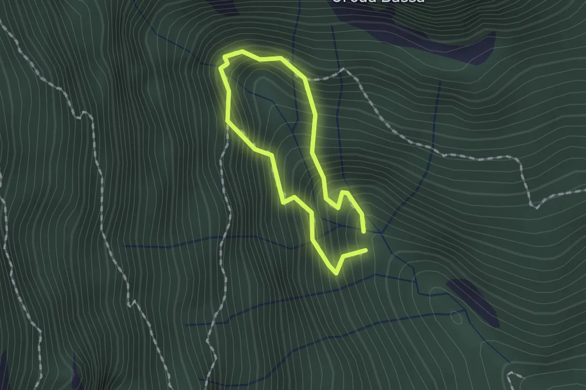
Demanding · Trail
Anello delle Sorgenti
1.0 km · ↑ 221 m · 44 min · 12 km away
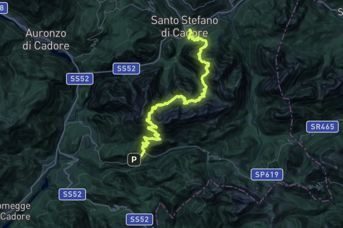
Demanding · Trail
Santo Stefano - Krissin/Rio Salon – Fienili del Rin - da S.P. 619
21.9 km · ↑ 2154 m · 10 h 18 min · 12 km away
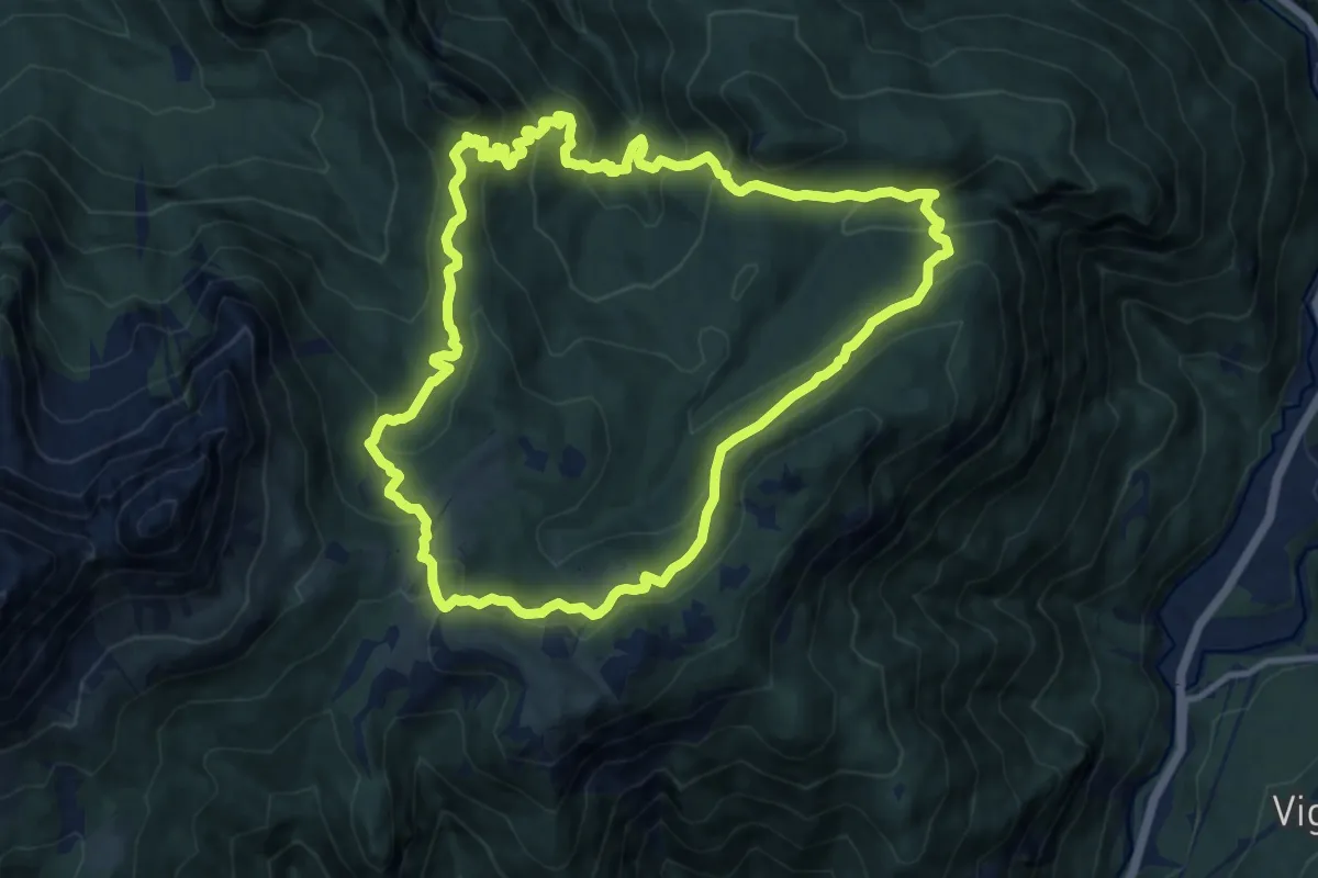
Medium · Trail
Anello dei Casoni
11.5 km · ↑ 741 m · 4 h 29 min · 12 km away
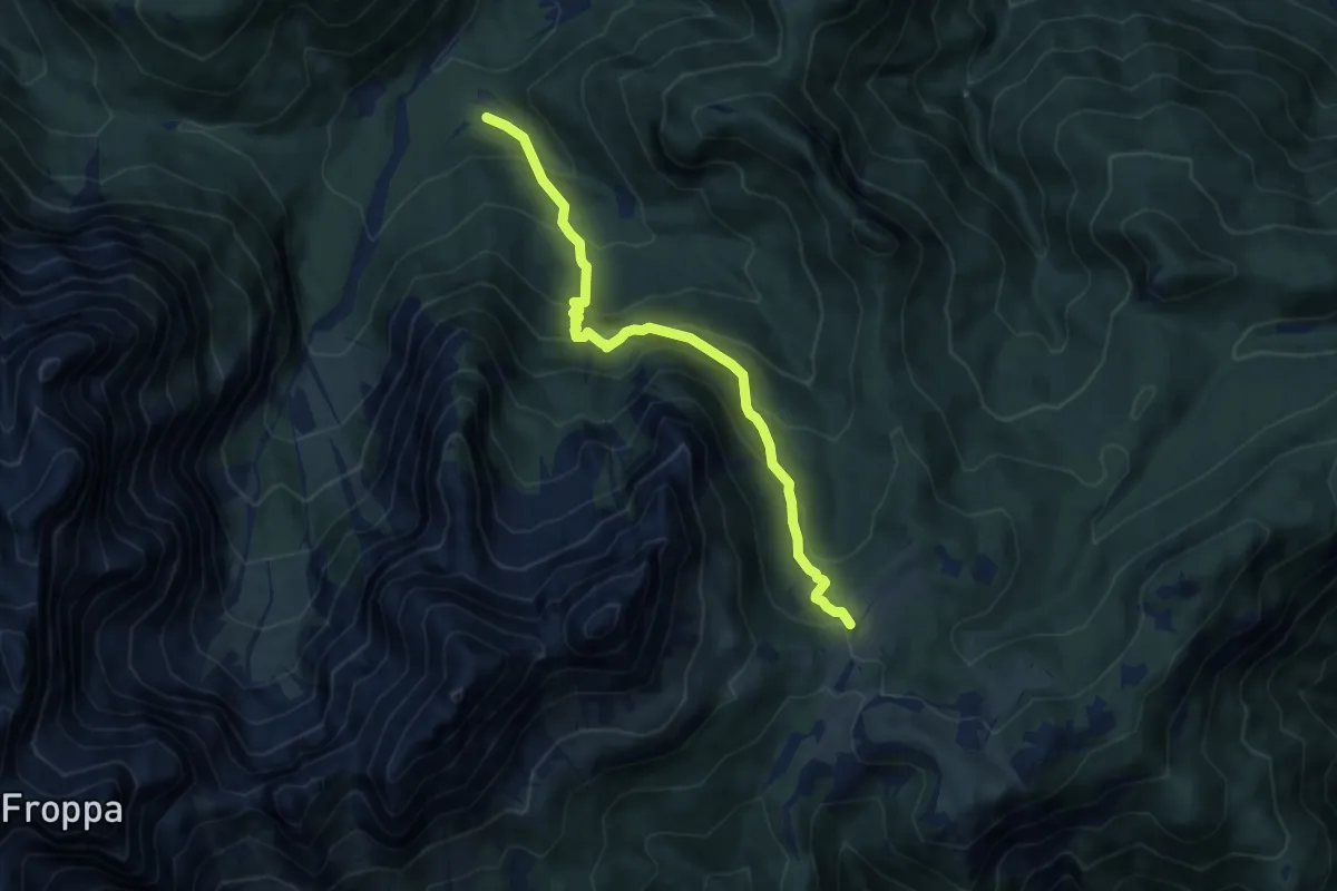
Medium · Trail
Tabià da Rin – Pian dei Buoi - innesto sentiero 268
8.9 km · ↑ 768 m · 3 h 47 min · 12 km away
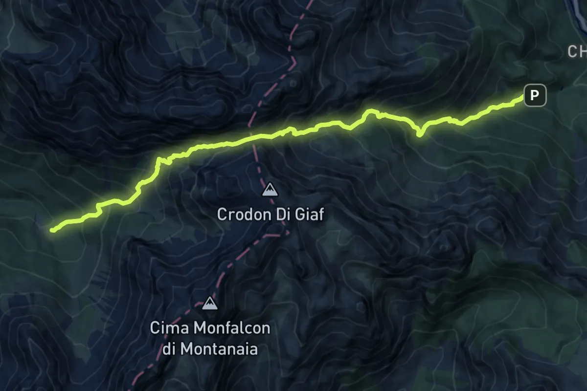
Demanding · Trail
Forni di Sopra località Chiandarens (quota 966 m) – Rifugio Padova (quota 1287 m)
14.9 km · ↑ 1754 m · 7 h 19 min · 13 km away
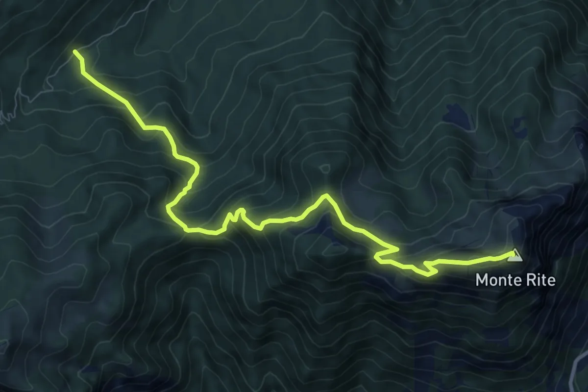
Medium · Summit
Ciandolada - strada per Rif. Talamini – Forti di Monte Rite
10.2 km · ↑ 800 m · 4 h 8 min · 13 km away
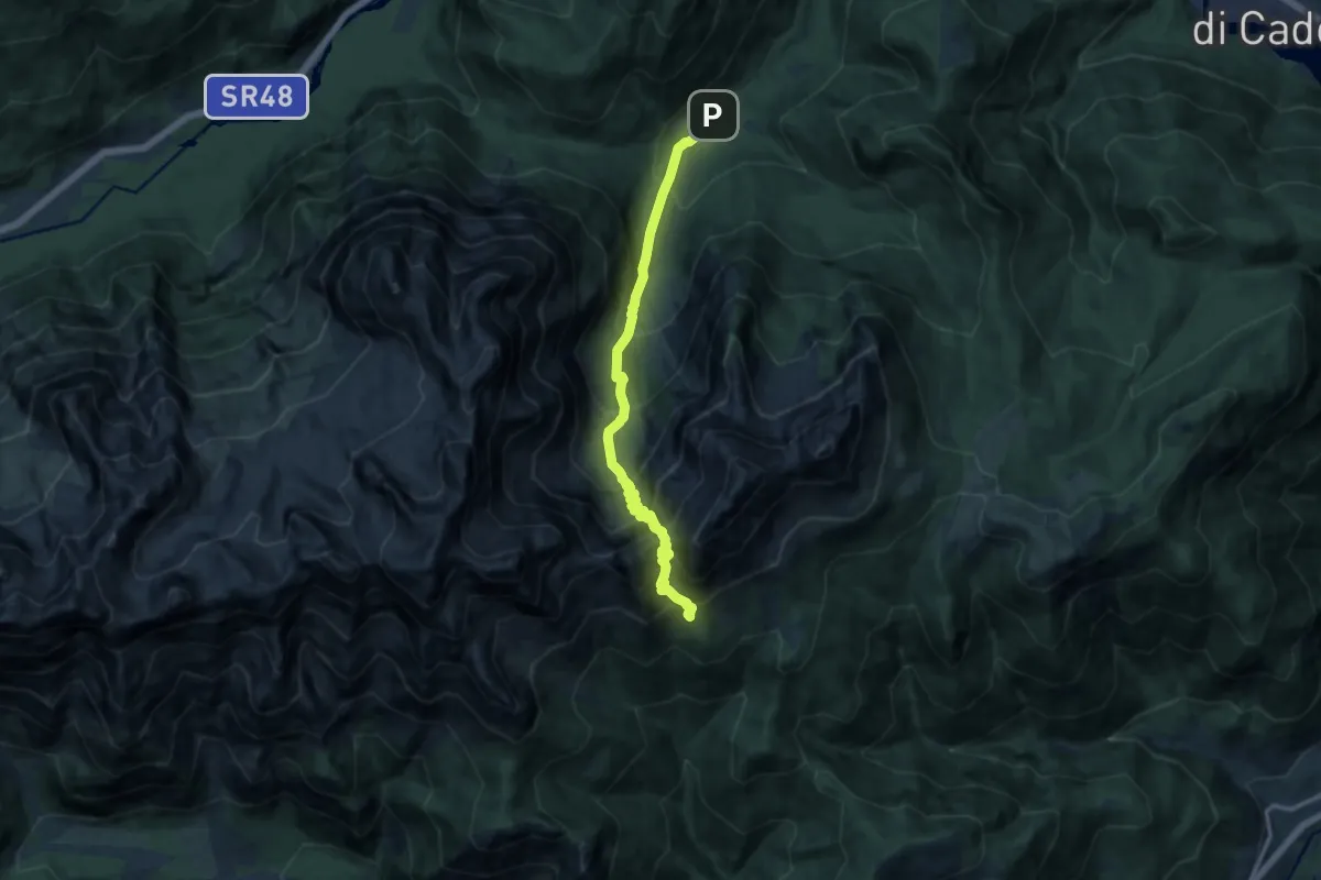
Demanding · Trail
Alta Val da Rin - da bivio/guado per Tabià da Rin – Sotto Forcella Baion (versante sud) - innesto su sentiero 262
12.4 km · ↑ 1444 m · 6 h 4 min · 13 km away
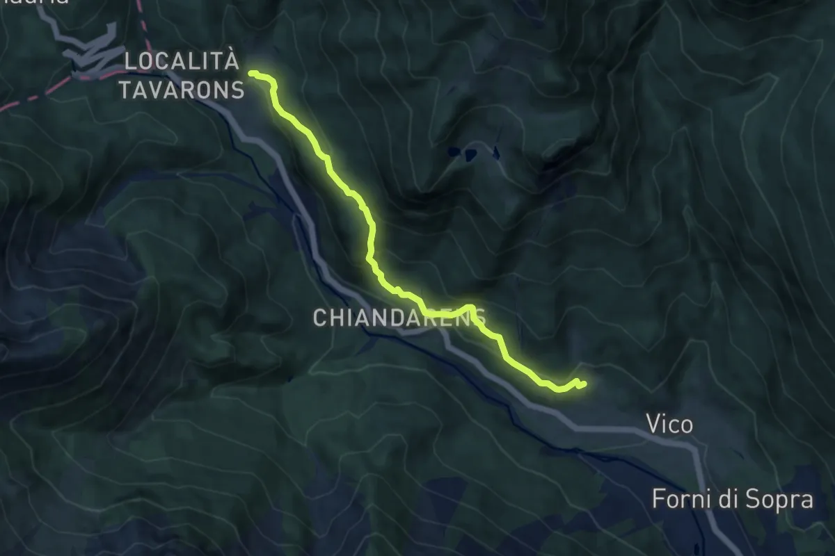
Medium · Trail
Anello di Forni
8.1 km · ↑ 454 m · 2 h 53 min · 13 km away
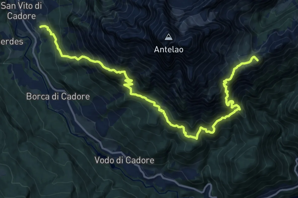
Demanding · Summit
Resinego - sopra Istituto di Selvicoltura – Sotto Forcella Piria - innesto sentiero 250
25.1 km · ↑ 2454 m · 11 h 15 min · 13 km away
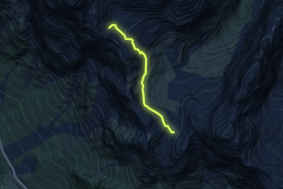
Medium · Cabin
Forcella Grande - da percorso 226 – Bivacco Slataper
4.8 km · ↑ 452 m · 2 h 6 min · 13 km away
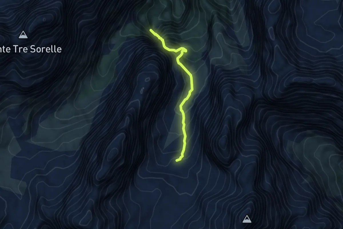
Demanding · Trail
Cadin del Doge - da sentiero 226 – Bivacco Voltolina
4.6 km · ↑ 571 m · 2 h 19 min · 13 km away
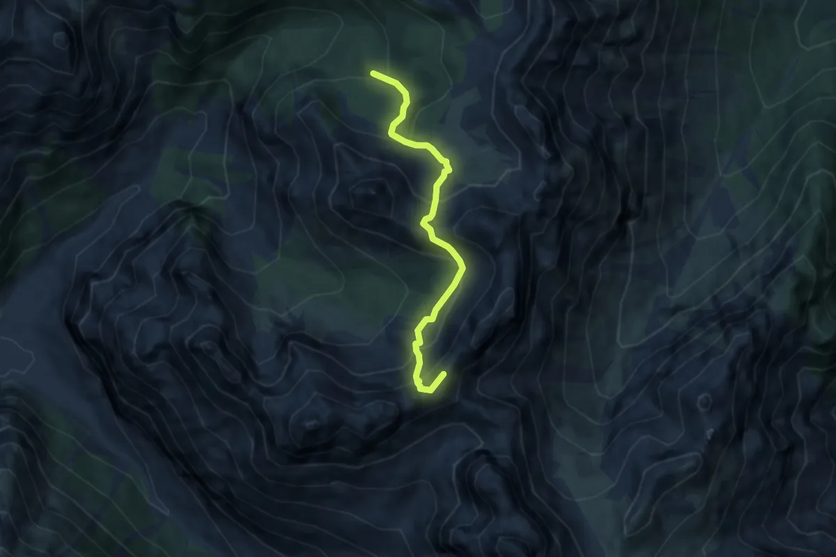
Medium · Summit
Ricovero Casera Valmenone – Raccordo sentiero 362 (quota 2000 m)
6.4 km · ↑ 637 m · 2 h 54 min · 13 km away
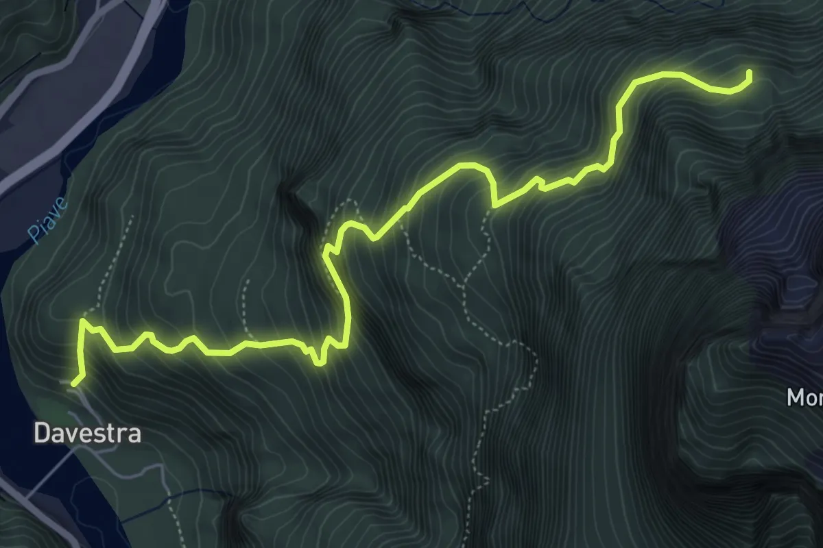
Demanding · Cabin
Davestra – Forcella Pagnac de Fora - inn. sent. n.396
6.9 km · ↑ 964 m · 3 h 43 min · 13 km away
Demanding · Cabin
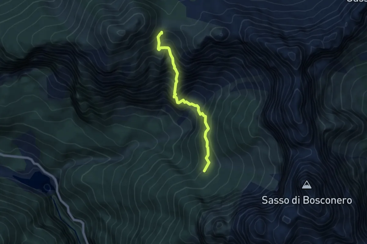
Forcella de la Calada - da sentiero 485 – Rifugio Casera Bosconero
4.6 km · ↑ 717 m · 2 h 39 min · 13 km away
Demanding · Trail
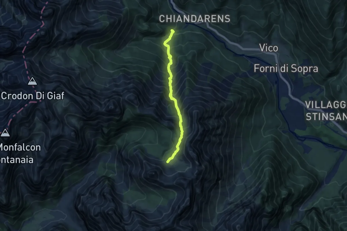
Forni di Sopra località Chiandarens (quota 978 m) – Forni di Sopra Canpuròs racc. sent. n. 369 (quota 1914 m)
8.8 km · ↑ 1006 m · 4 h 15 min · 13 km away
Demanding · Summit
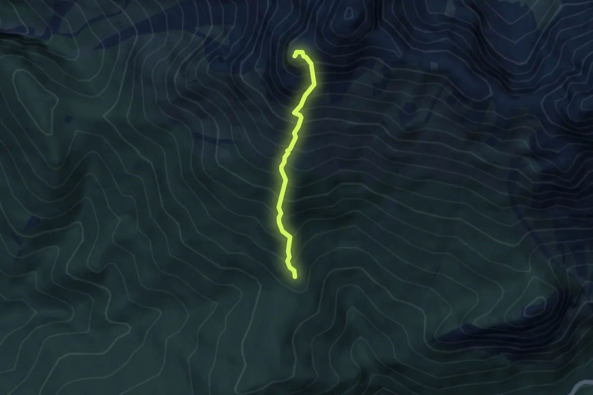
a monte di Zergolon - da sentiero 328 (quota 1534) – Monte Schiavon (quota 2326)
3.2 km · ↑ 740 m · 2 h 21 min · 13 km away
Demanding · Trail
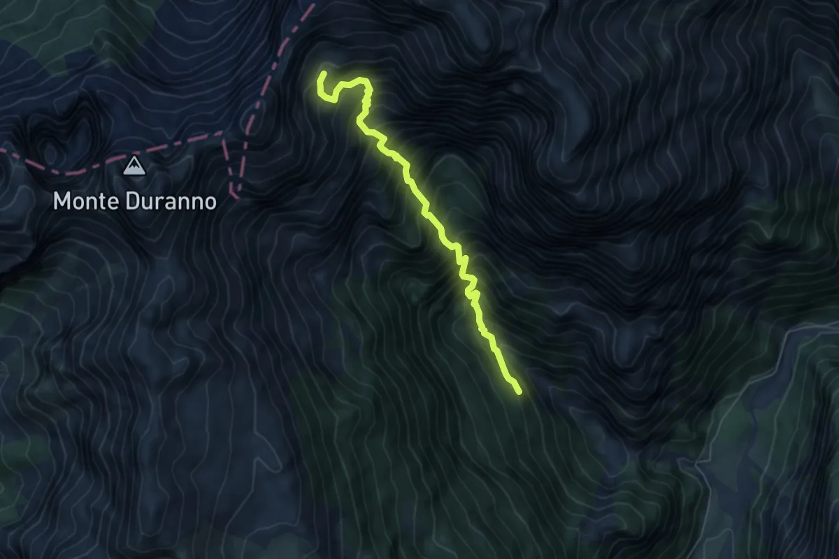
Bivio sentiero n. 374 Compol (Val Cimoliana) (quota 1025 m) – Bivacco Greselin (quota 1920 m)
5.8 km · ↑ 1057 m · 3 h 39 min · 13 km away
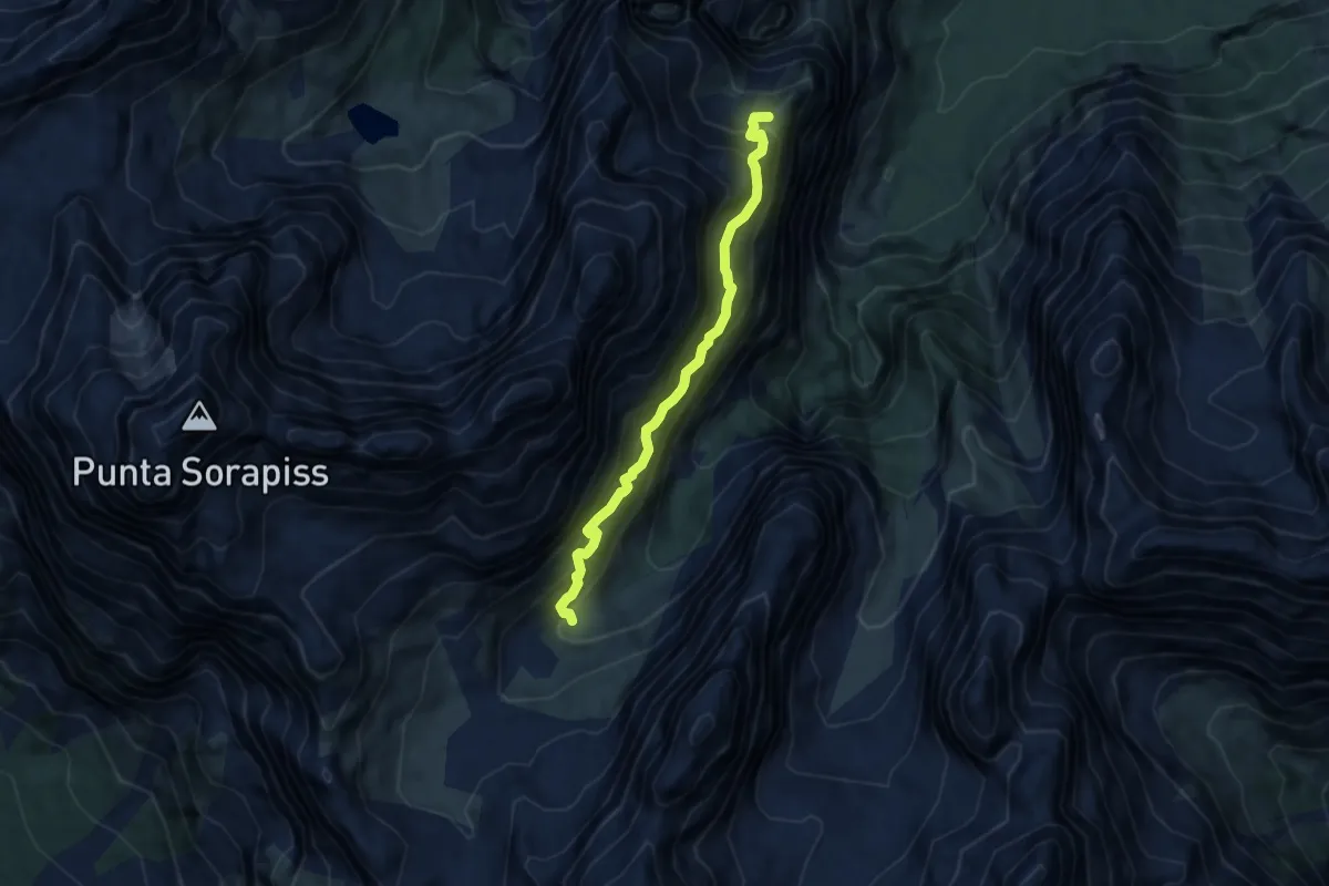
Expert · Summit
Sentiero attrezzato "Carlo MInazio"
6.7 km · ↑ 1038 m · 3 h 49 min · 13 km away
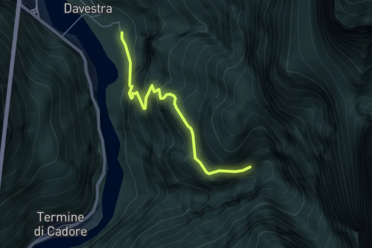
Medium · Trail
Davestra – Forcella Borgà Confine Regione
4.3 km · ↑ 507 m · 2 h 7 min · 13 km away
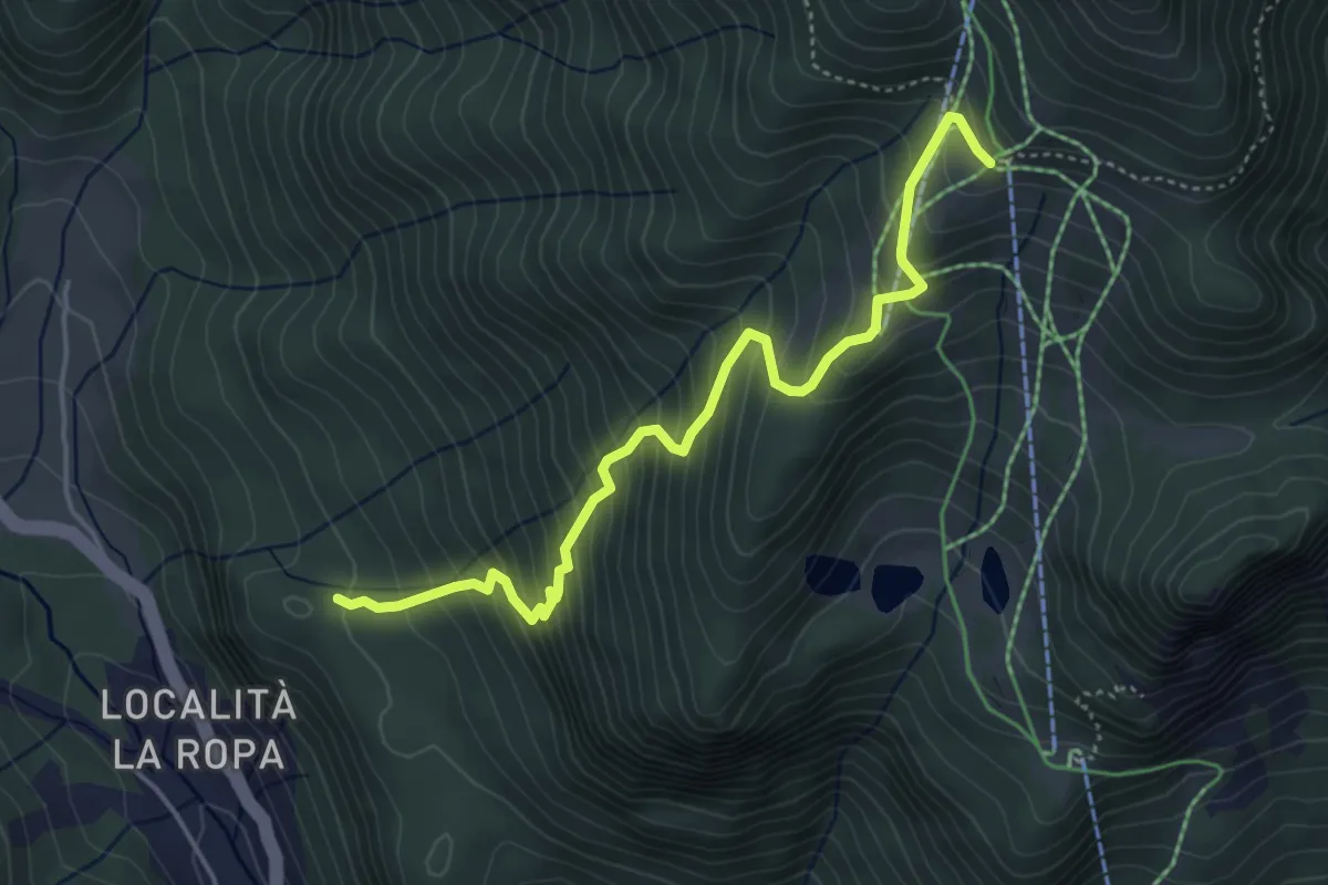
Medium · Trail
Località Poàs (quota 1181 m) – Casera Varmost (quota 1758 m)
4.7 km · ↑ 560 m · 2 h 19 min · 13 km away
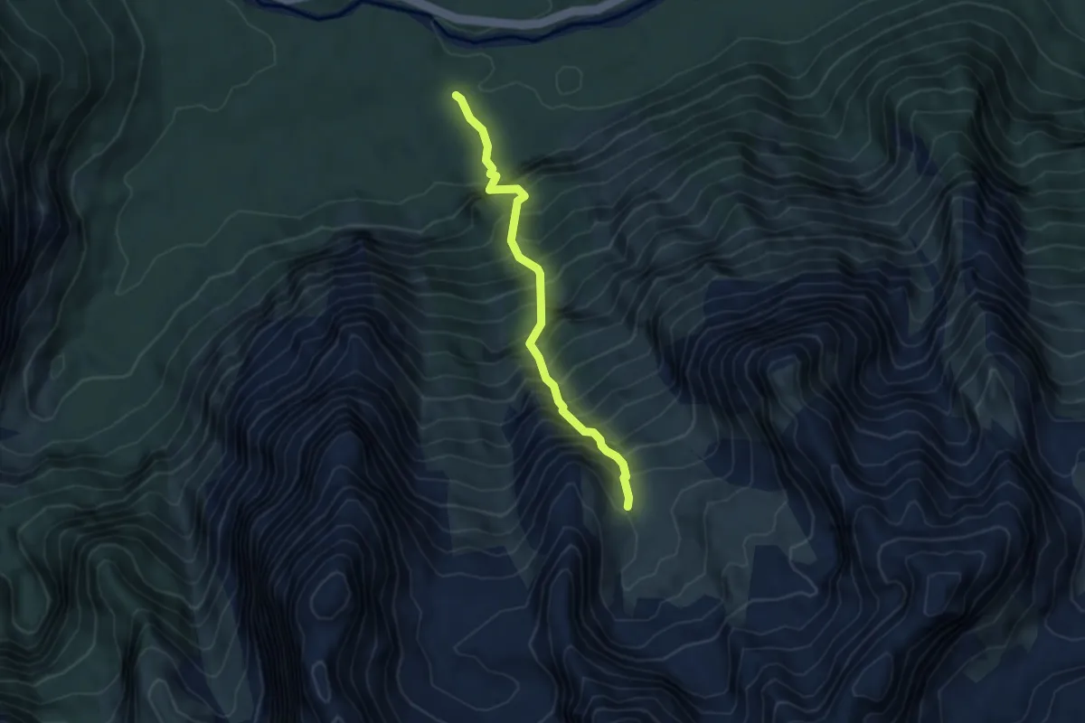
Demanding · Trail
Palus San Marco - Ponte Piccolo – Bivacco Musatti
4.3 km · ↑ 946 m · 3 h 4 min · 13 km away
Demanding · Trail
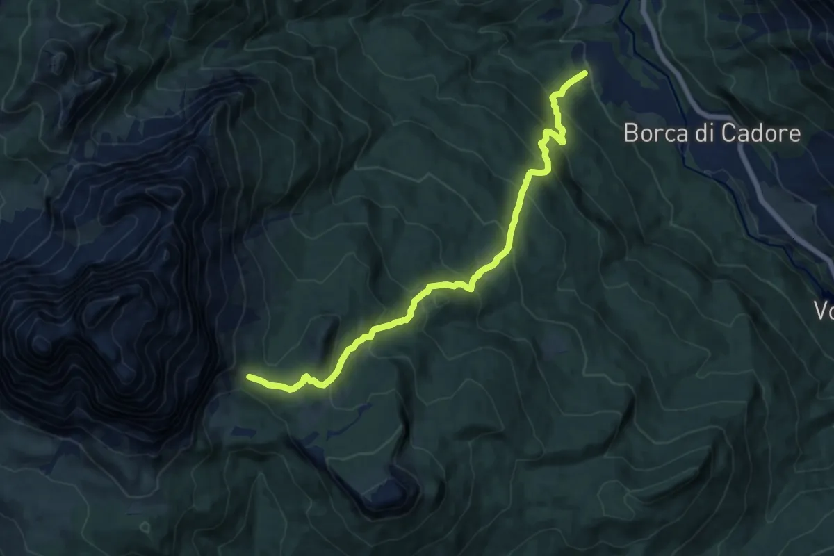
Borca - Villanova – Passo di Rutorto - inesto percorso 471
12.6 km · ↑ 958 m · 5 h 3 min · 13 km away
Demanding · Summit
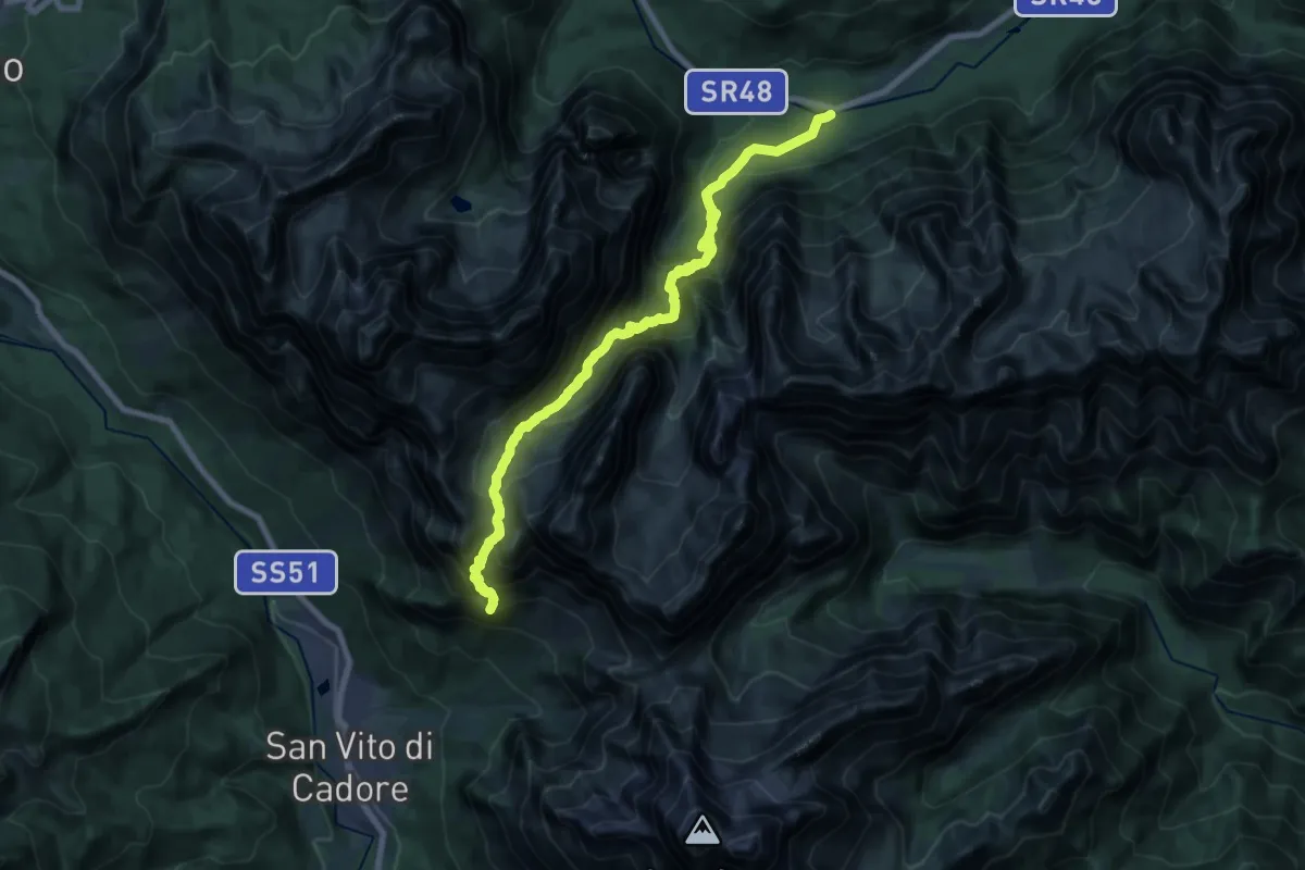
Ponte degli Alberi - (Foresta di Somadida) – Rifugio San Marco (Col de chi de Oss)
20.3 km · ↑ 1939 m · 9 h · 13 km away
Medium · Summit
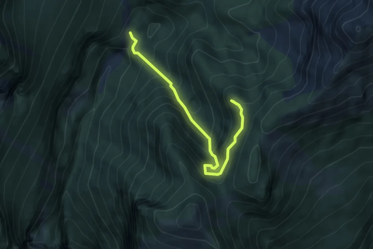
Località Le Grave (quota 1203 m) – Rifugio Maniago (quota 1730 m)
4.5 km · ↑ 491 m · 2 h 7 min · 13 km away
Demanding · Cabin
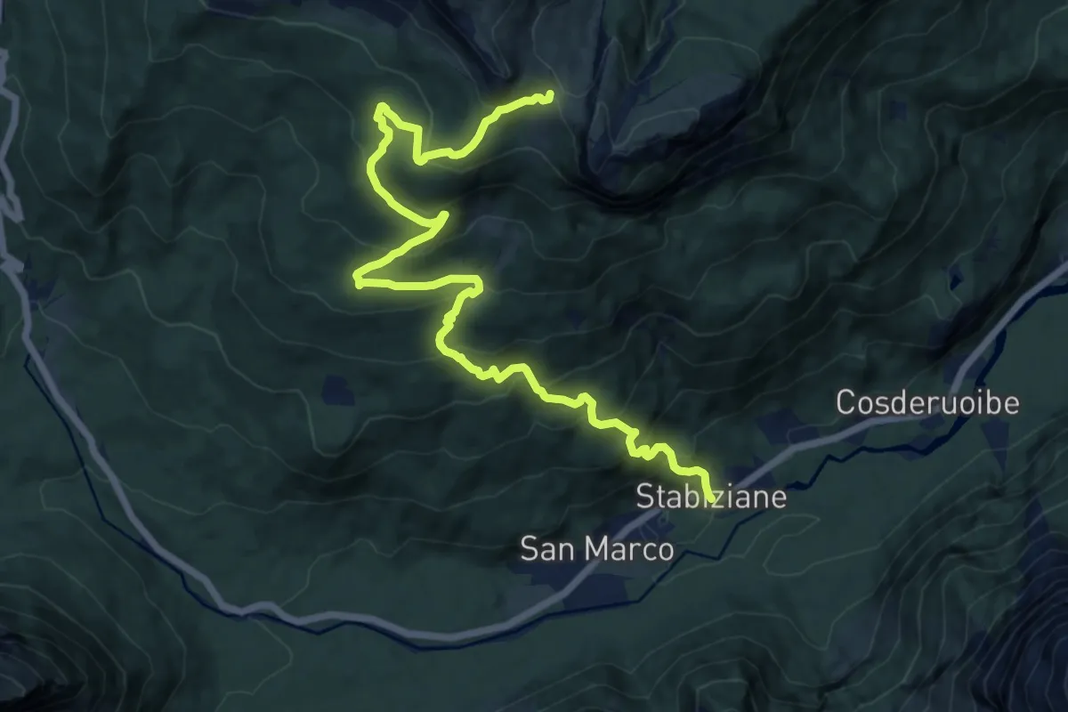
Stabiziane (Palus S. Marco) da S.R. 48 al km. 143,400 – Rifugio Città di Carpi
14.9 km · ↑ 1055 m · 5 h 48 min · 13 km away
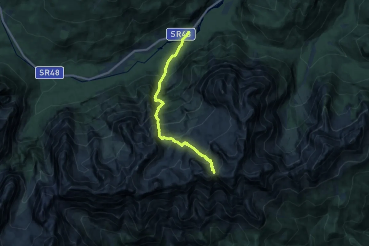
Demanding · Trail
Tornede - Colonia Alpina D. Savio - da S.R. 48 – Forcella Jou de la Tana
13.0 km · ↑ 1593 m · 6 h 32 min · 13 km away
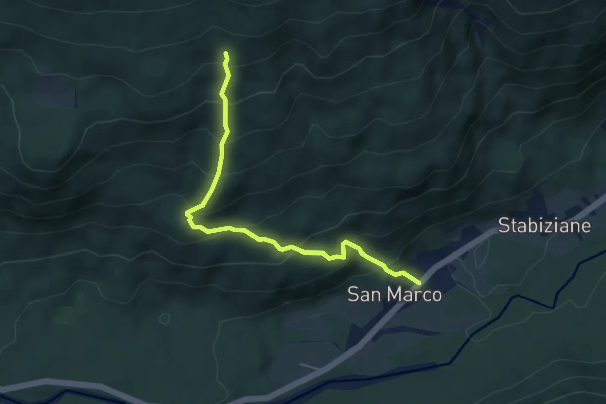
Medium · Trail
Stabiziane - da S.R. 48 al km. 143,850 – Stabenrigo Auto, innesto su sentiero 120
4.5 km · ↑ 480 m · 2 h 6 min · 13 km away
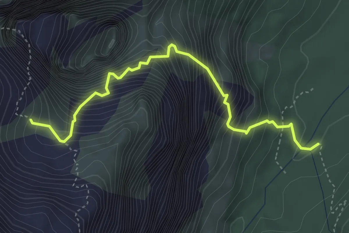
Expert · Cabin
Sentiero attrezzato "Osiride Brovedani"
3.9 km · ↑ 1205 m · 3 h 32 min · 13 km away
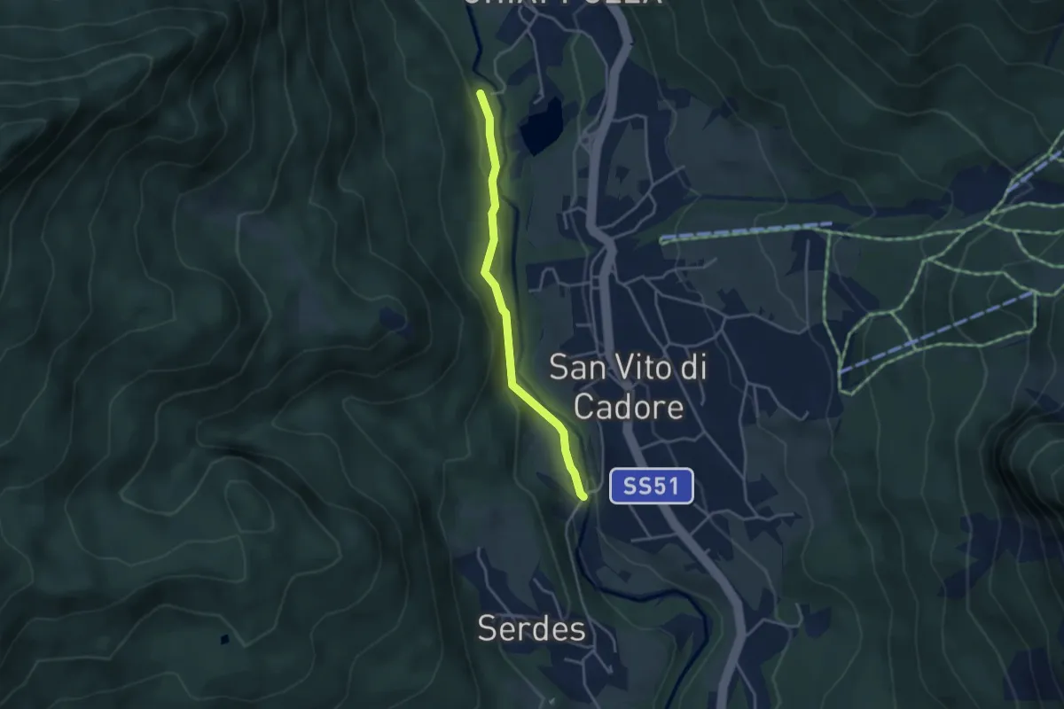
Easy · Trail
Passeggiata Lungoboite
3.3 km · ↑ 105 m · 1 h · 13 km away
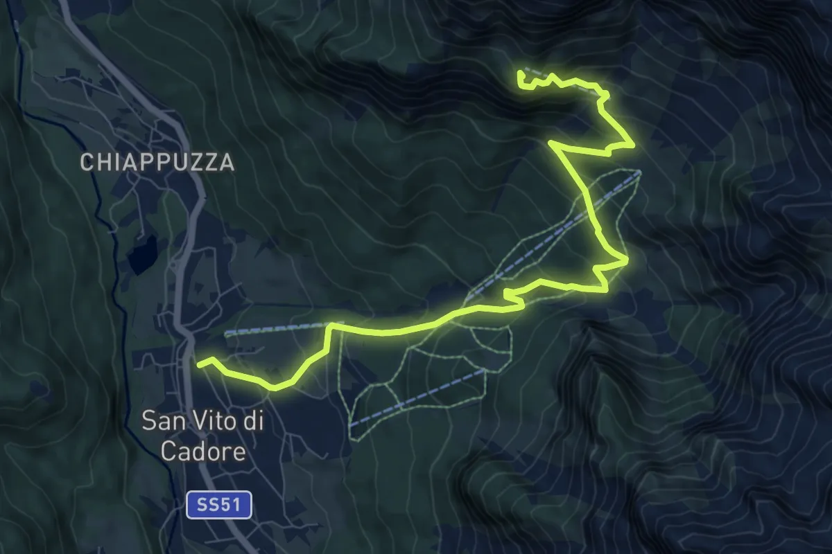
Demanding · Summit
San Vito centro – Rifugio San Marco
10.4 km · ↑ 841 m · 4 h 17 min · 14 km away
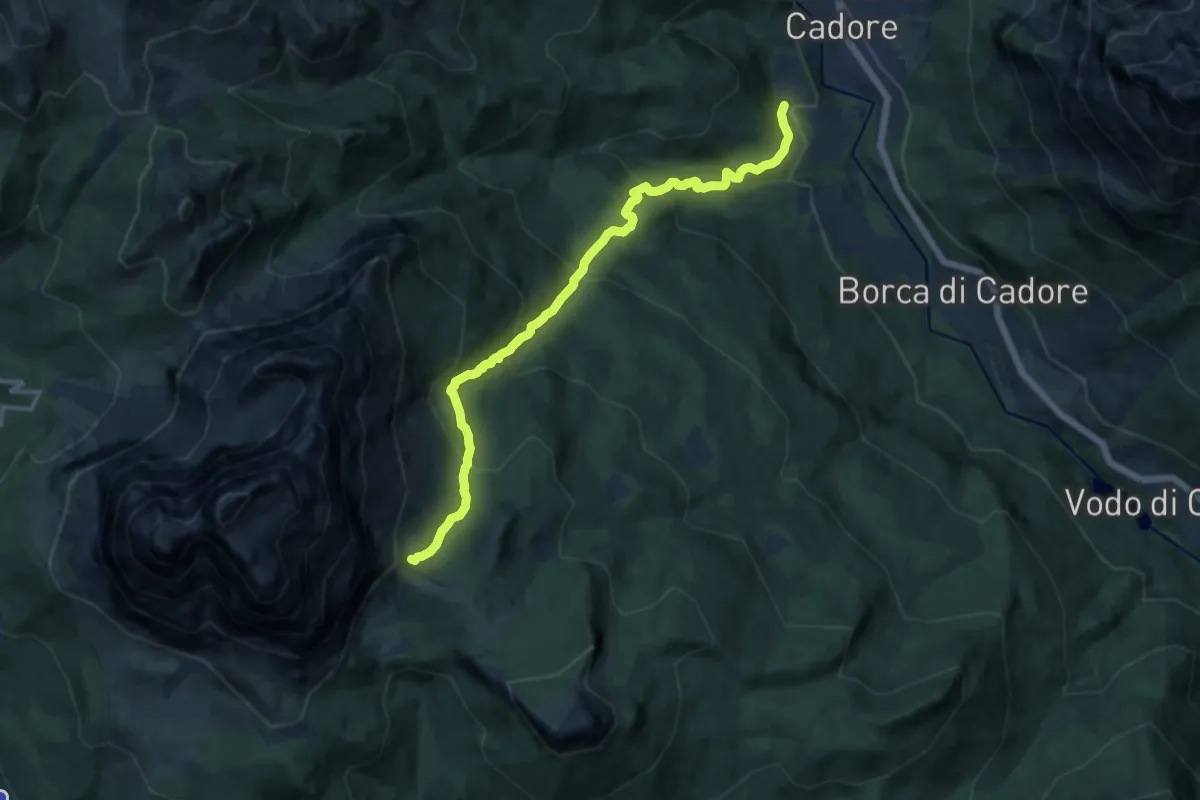
Demanding · Cabin
San Vito - Serdes Chiesa di San Rocco – Rifugio Venezia
13.2 km · ↑ 980 m · 5 h 15 min · 14 km away
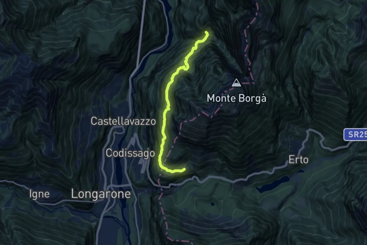
Demanding · Trail
Val Ardéda - da sent. 392 – Valacamp - Casso - poco dopo confine Regione
11.1 km · ↑ 1307 m · 5 h 27 min · 14 km away
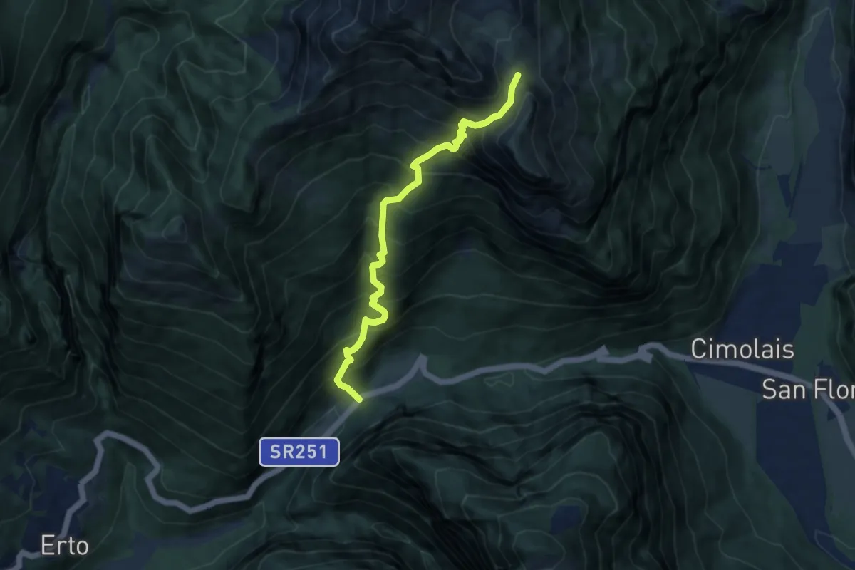
Demanding · Trail
Passo S. Osvaldo (quota 800 m) – Forcella Lodina (quota 1860 m)
7.6 km · ↑ 1087 m · 4 h 9 min · 14 km away
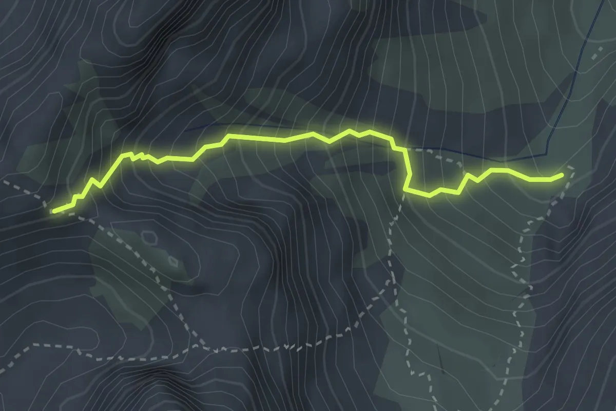
Medium · Cabin
Rifugio Flaiban Pacherini sentiero 362 (quota 1600 m) – Forcella Fantulina Alta (quota 2107 m)
2.8 km · ↑ 523 m · 1 h 48 min · 14 km away
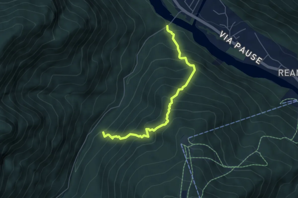
Medium · Trail
Ponte da Rin – Guado Pre Ciaurìn
5.1 km · ↑ 656 m · 2 h 38 min · 14 km away
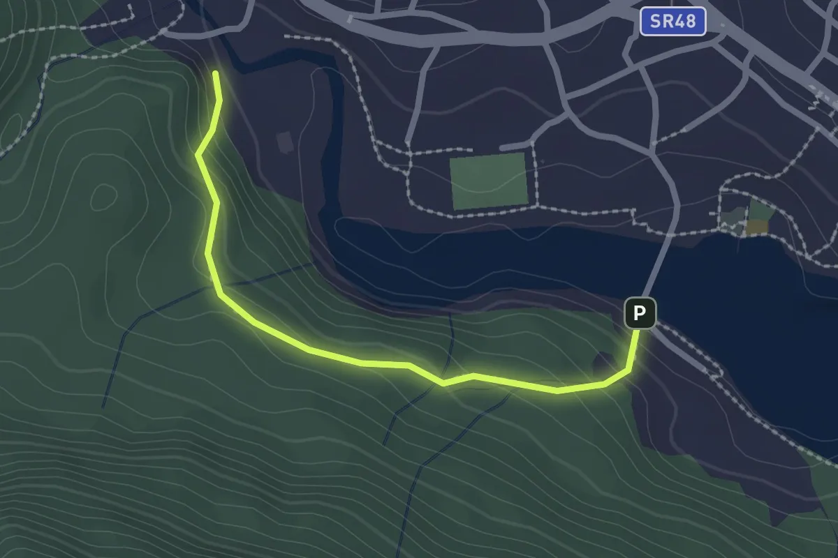
Easy · Trail
Proazei
2.2 km · ↑ 147 m · 50 min · 14 km away
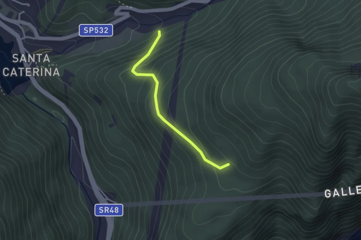
Easy · Trail
Pian de Namos – Torrente Diebba
2.3 km · ↑ 193 m · 58 min · 14 km away
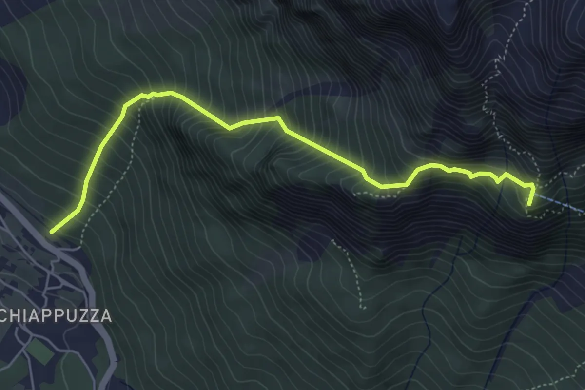
Demanding · Summit
Chiapuzza (da pista ciclabile) – Rifugio San Marco
5.3 km · ↑ 846 m · 3 h 4 min · 14 km away
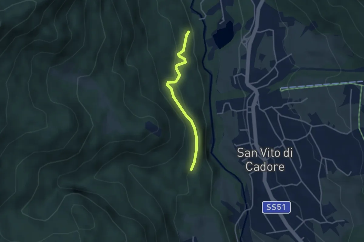
Easy · Trail
Panoramica
2.6 km · ↑ 131 m · 54 min · 14 km away
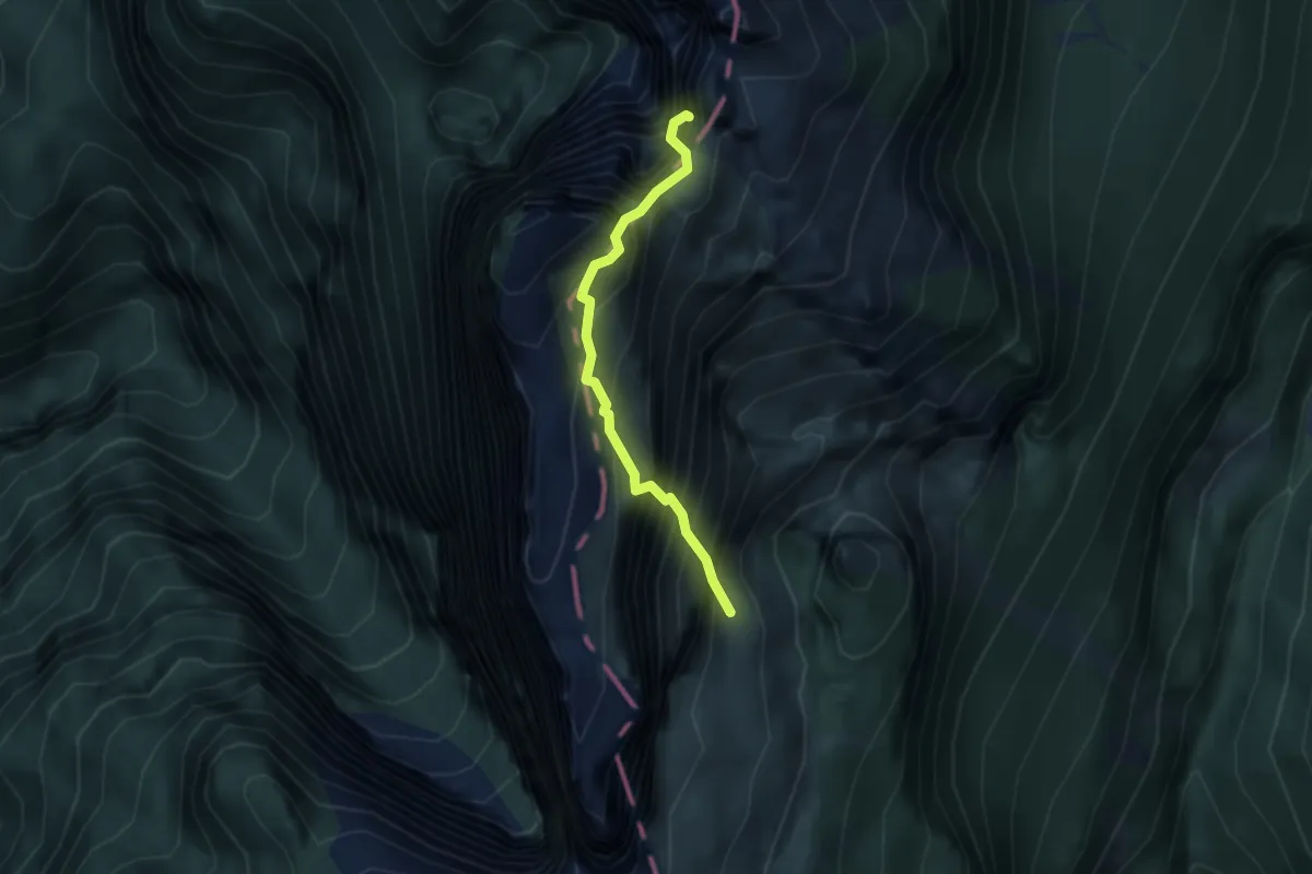
Demanding · Summit
Trui de Pintha
2.9 km · ↑ 899 m · 2 h 37 min · 14 km away
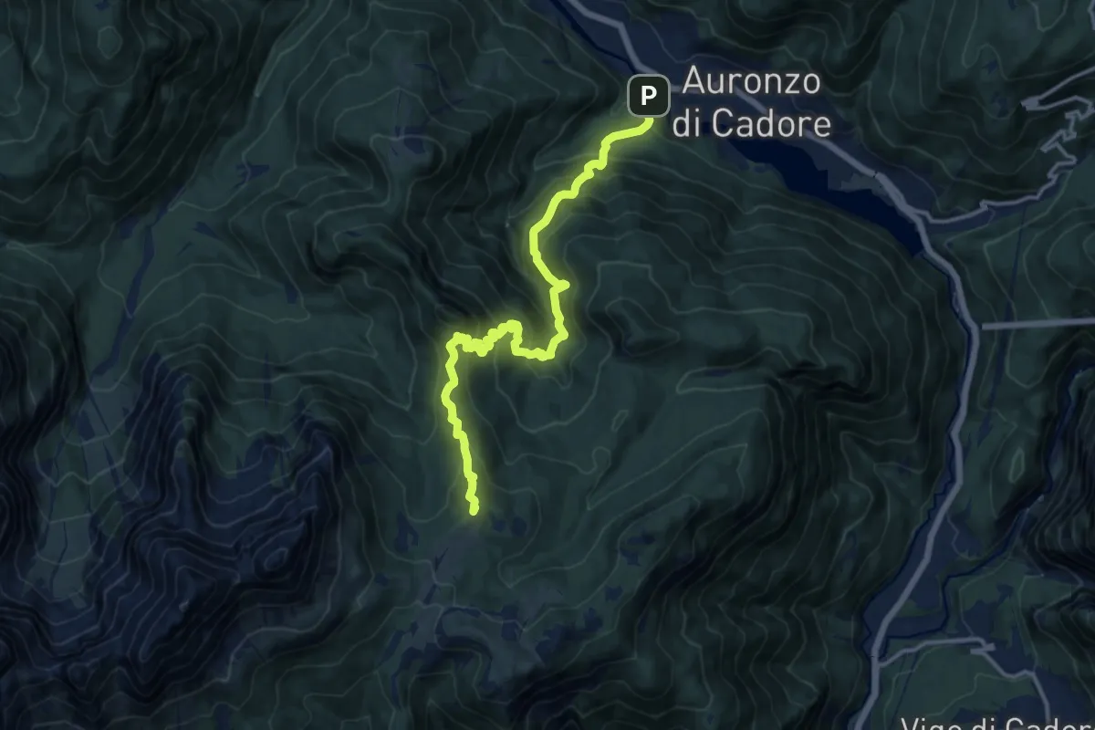
Demanding · Summit
Villagrande - Ponte Malon – Col dei Buoi - innesto sentiero 268
14.1 km · ↑ 1244 m · 6 h 2 min · 14 km away