Trails near Pieve di Cadore
162 hikes starting within 15 km, nearest first.
Nearest first, page 4 of 4
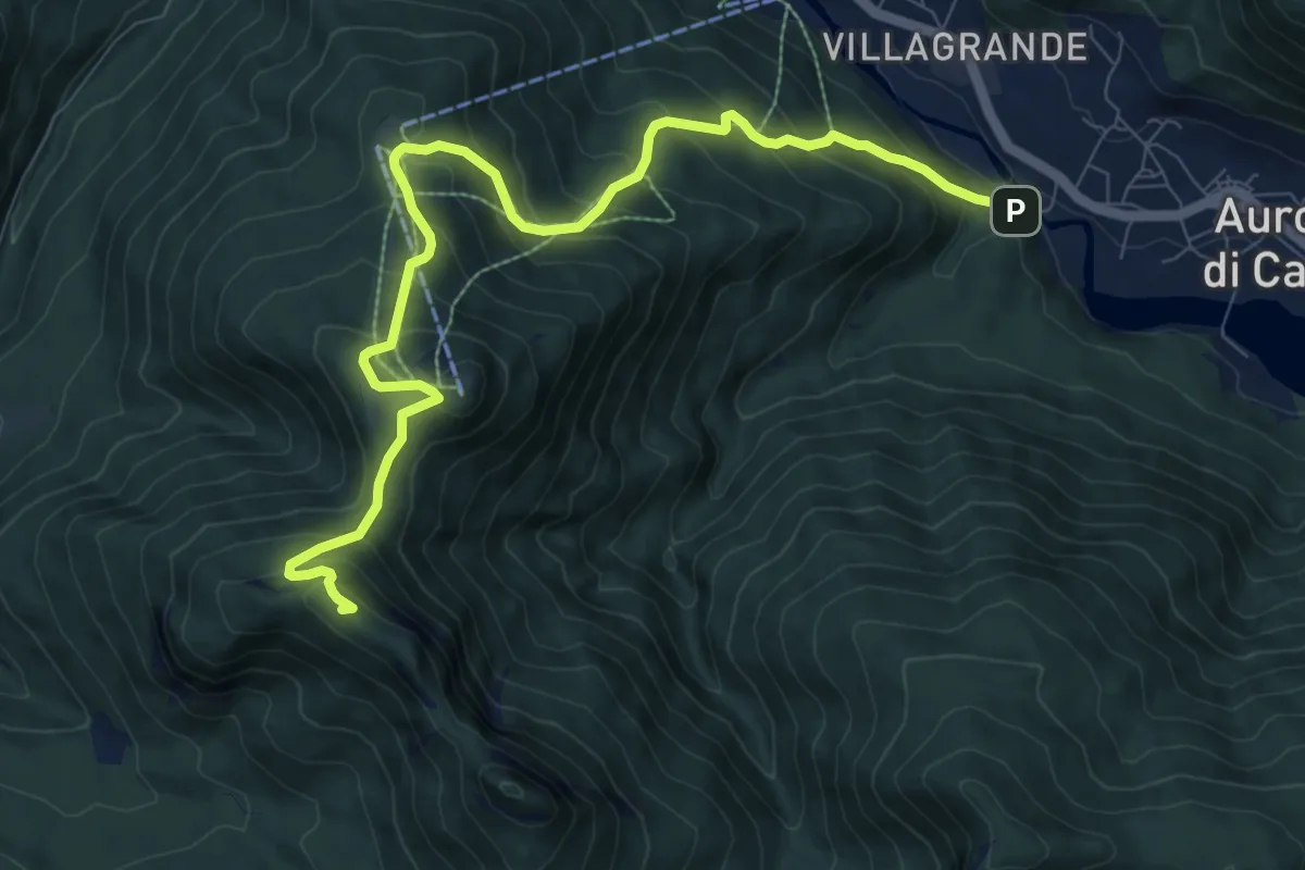
Demanding · Summit
Villagrande - Ponte Malon – Colle de la Mandria - innesto sentiero 1262
10.2 km · ↑ 883 m · 4 h 20 min · 14 km away
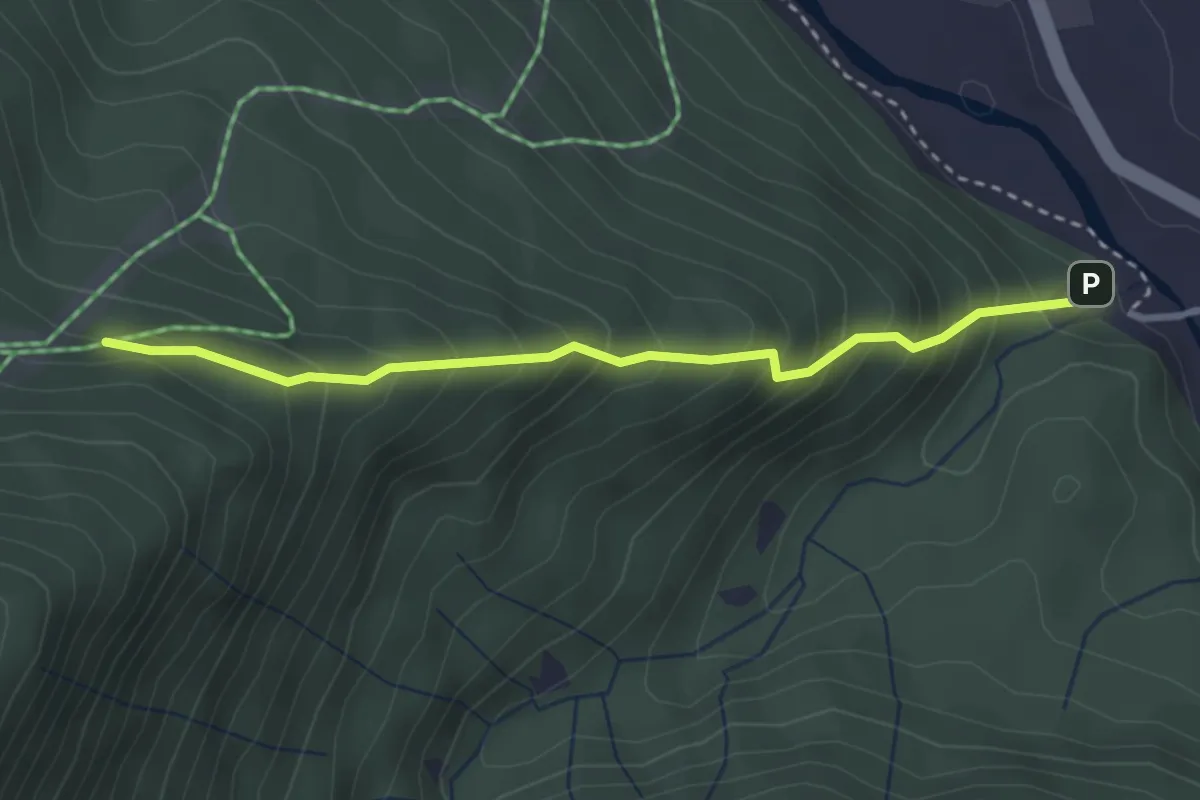
Medium · Trail
Costa Davanti
3.0 km · ↑ 349 m · 1 h 28 min · 14 km away
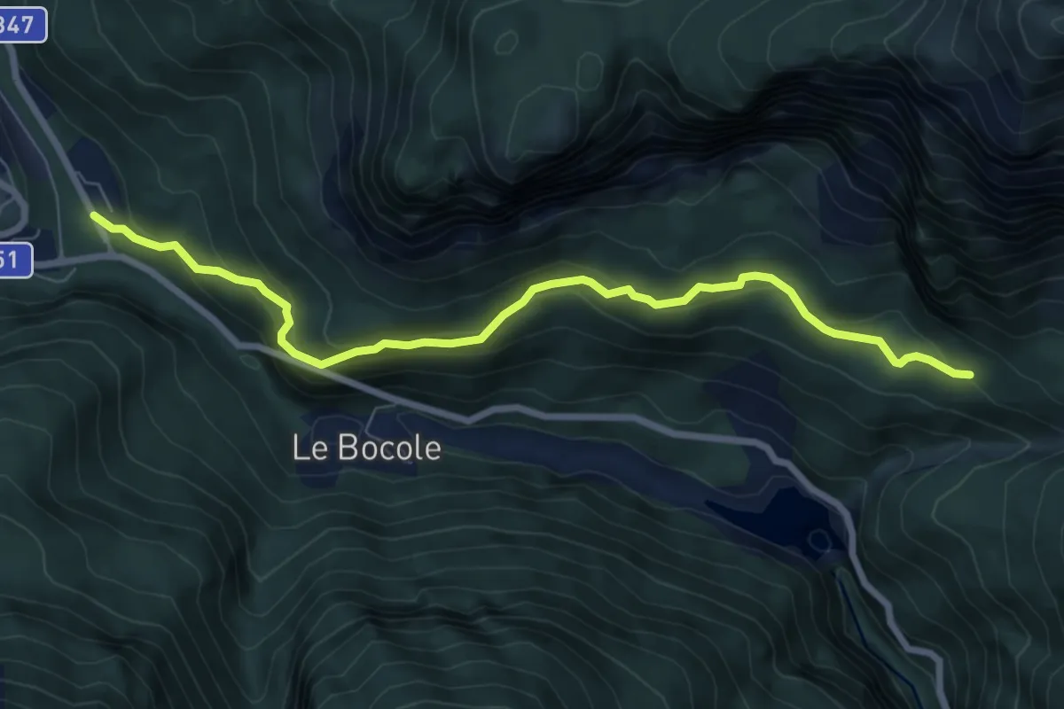
Medium · Trail
Ciamber da SP 347 – Casera del Mugòn
7.7 km · ↑ 427 m · 2 h 45 min · 15 km away
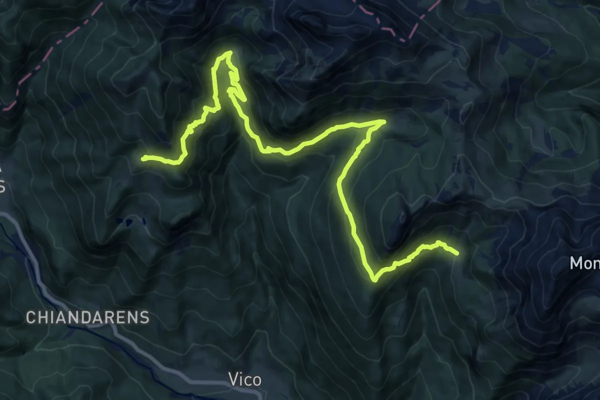
Demanding · Cabin
Forni di Sopra località Tiviei (quota 1020 m) – Casera Razzo (quota 1739 m)
20.2 km · ↑ 1258 m · 7 h 30 min · 15 km away
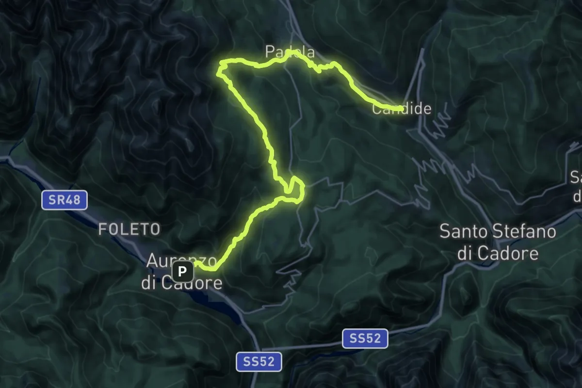
Demanding · Pilgrim path
Cammino delle Dolomiti - Tappa 17
16.0 km · ↑ 996 m · 5 h 59 min · 15 km away
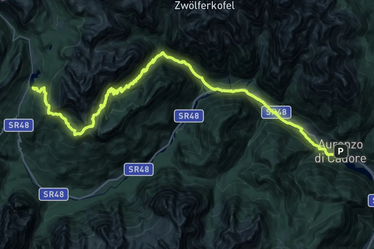
Demanding · Pilgrim path
Cammino delle Dolomiti - Tappa 16
24.0 km · ↑ 1489 m · 8 h 46 min · 15 km away
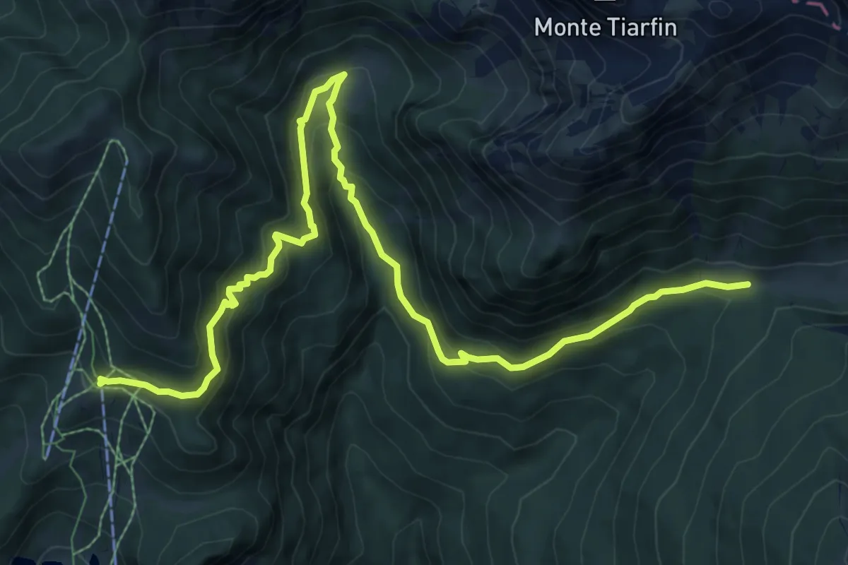
Medium · Trail
Cammino delle Pievi - Tappa 10 Variante
10.9 km · ↑ 669 m · 4 h 1 min · 15 km away
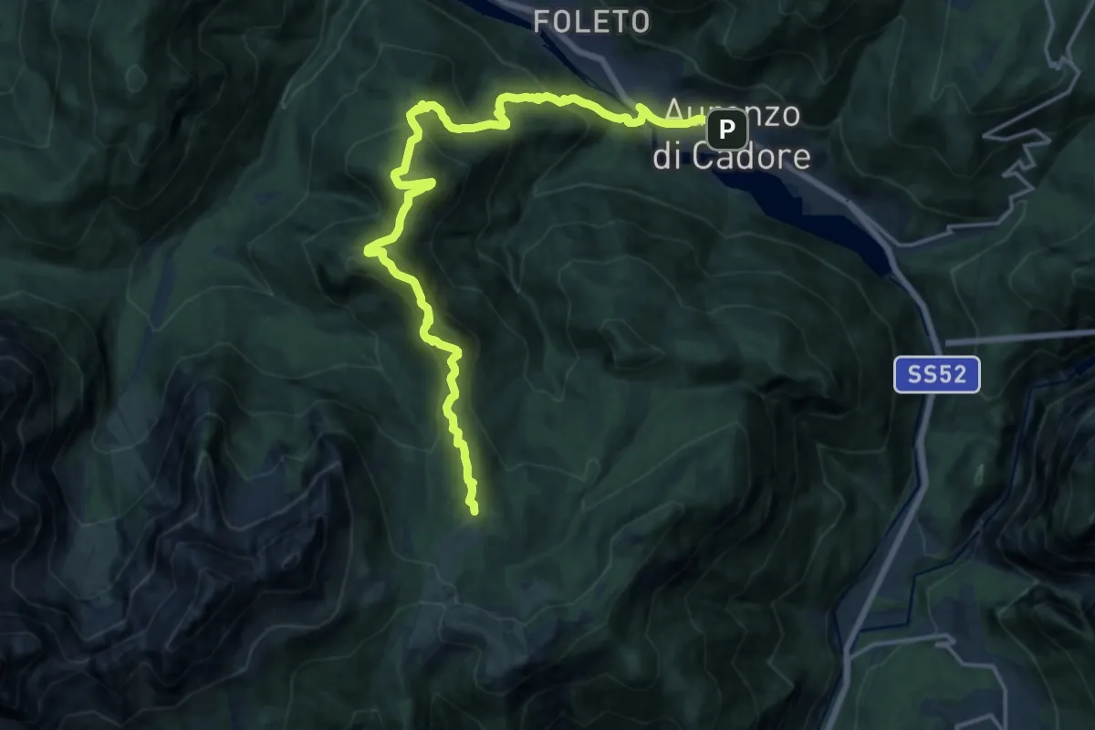
Demanding · Summit
Dolomites World Heritage Geotrail 20
19.3 km · ↑ 1345 m · 7 h 28 min · 15 km away
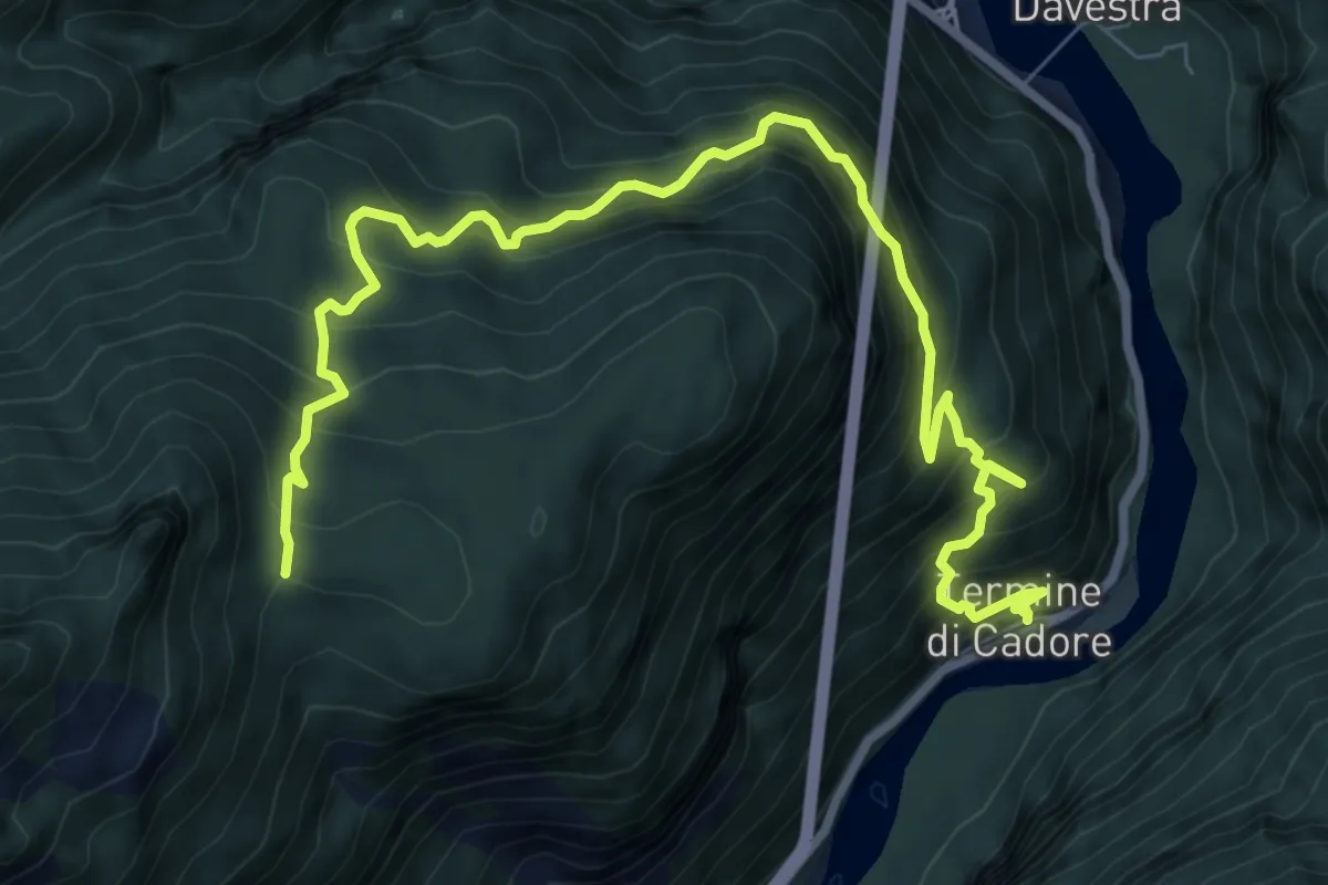
Demanding · Trail
Termine di Cadore – in Val inn. sent. 495
10.3 km · ↑ 1149 m · 4 h 55 min · 15 km away
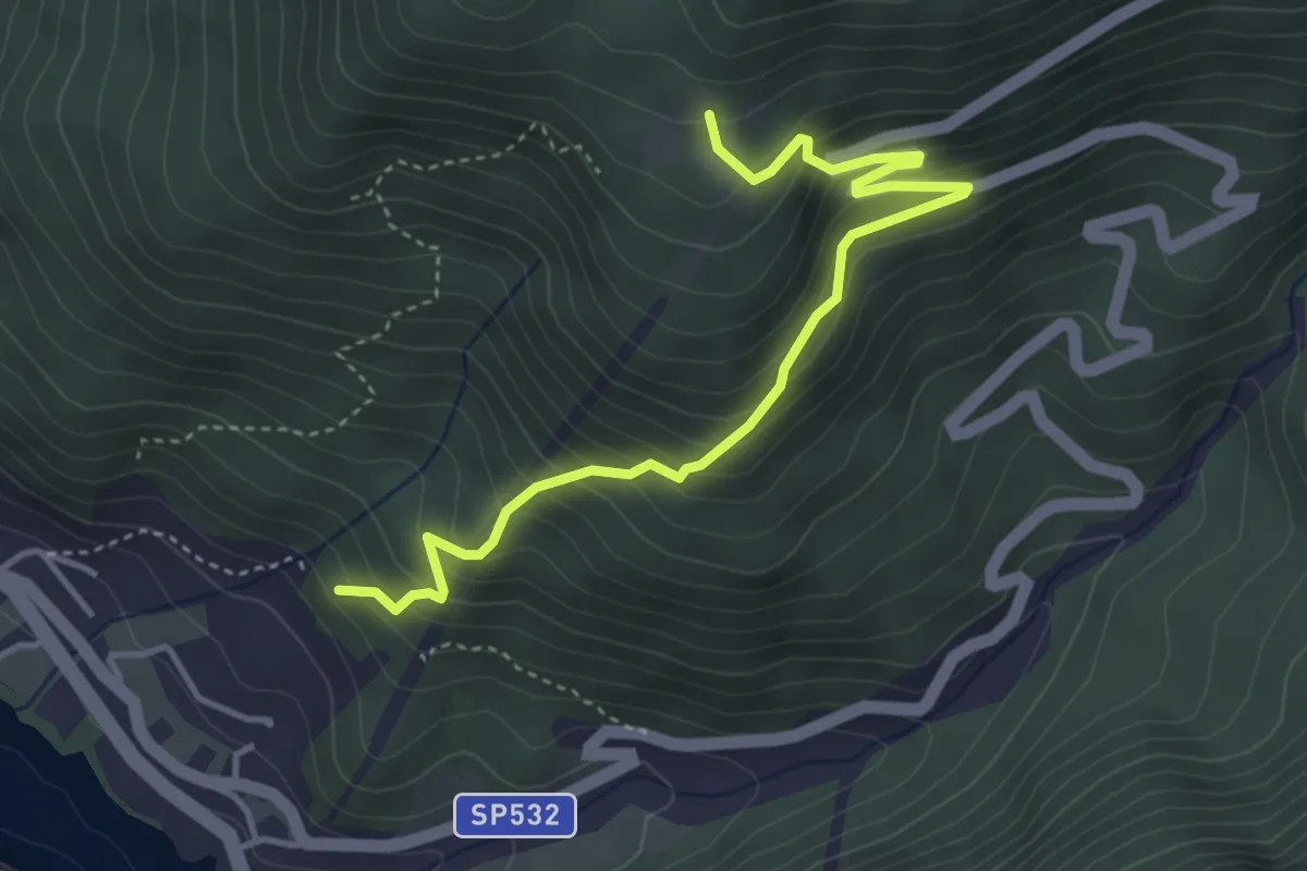
Medium · Trail
Giausiel – Tabià de Ronce
4.3 km · ↑ 434 m · 1 h 58 min · 15 km away
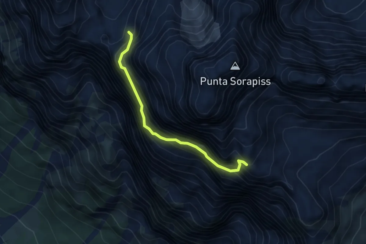
Demanding · Trail
Via Ferrata Francesco Berti
3.9 km · ↑ 900 m · 2 h 52 min · 15 km away
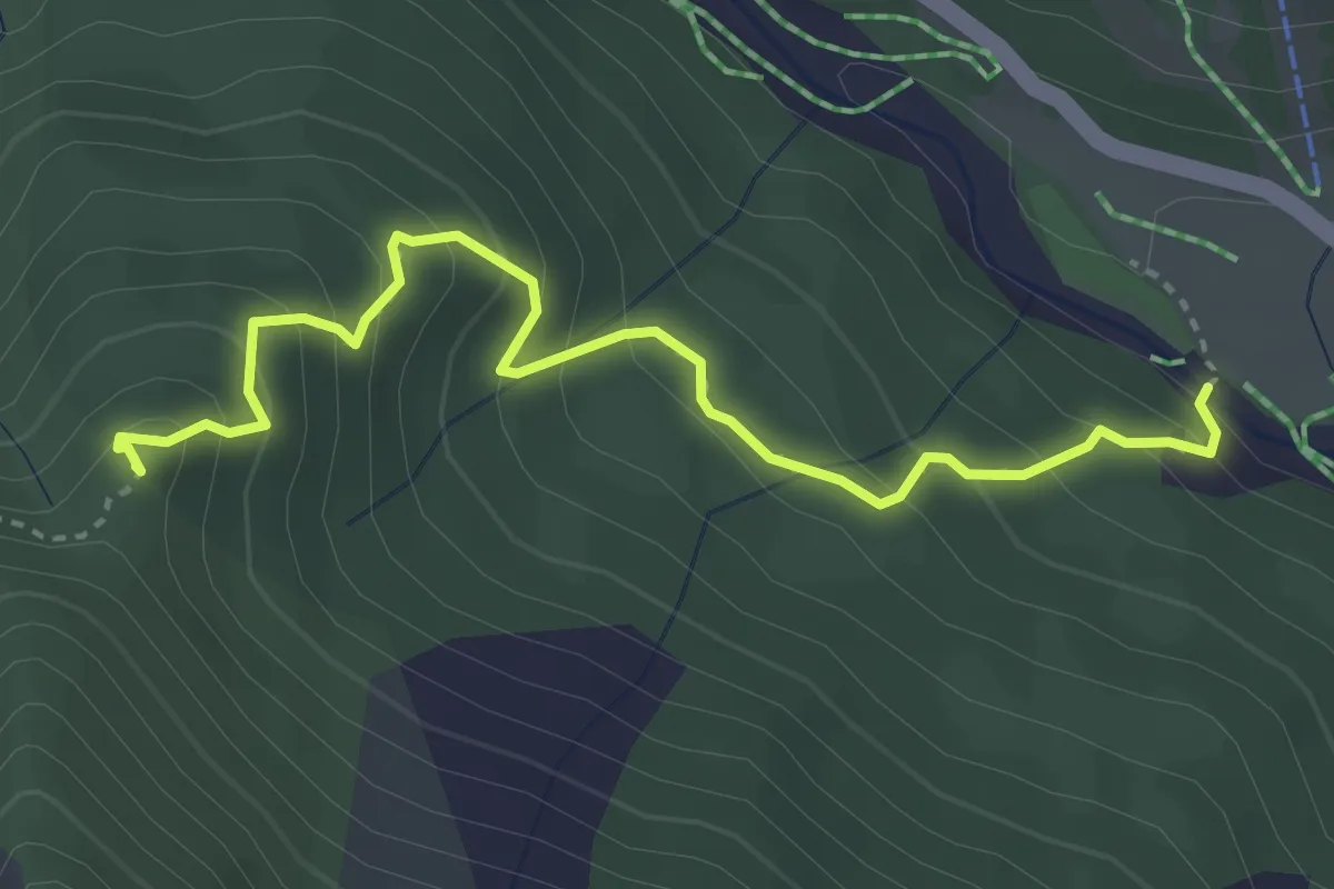
Medium · Summit
Truoi dal Von
3.8 km · ↑ 340 m · 1 h 38 min · 15 km away
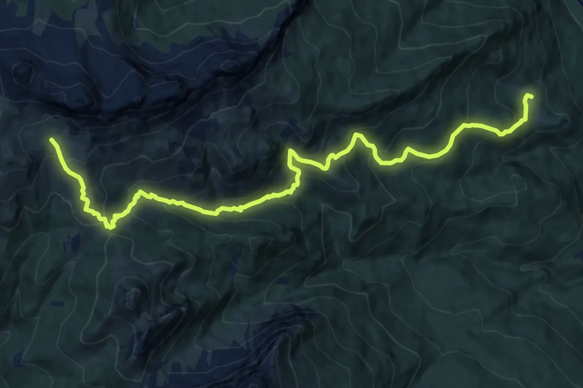
Demanding · Trail
San Vito - Ponte di Serdes – Malga Prendera - innesto sentiero 436
17.0 km · ↑ 1189 m · 6 h 35 min · 15 km away
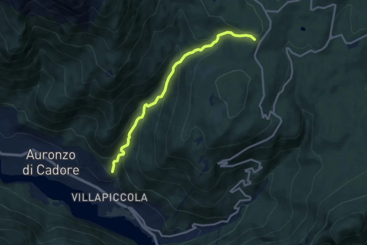
Medium · Trail
Alla Grotta – Rivalongia
6.8 km · ↑ 563 m · 2 h 50 min · 15 km away
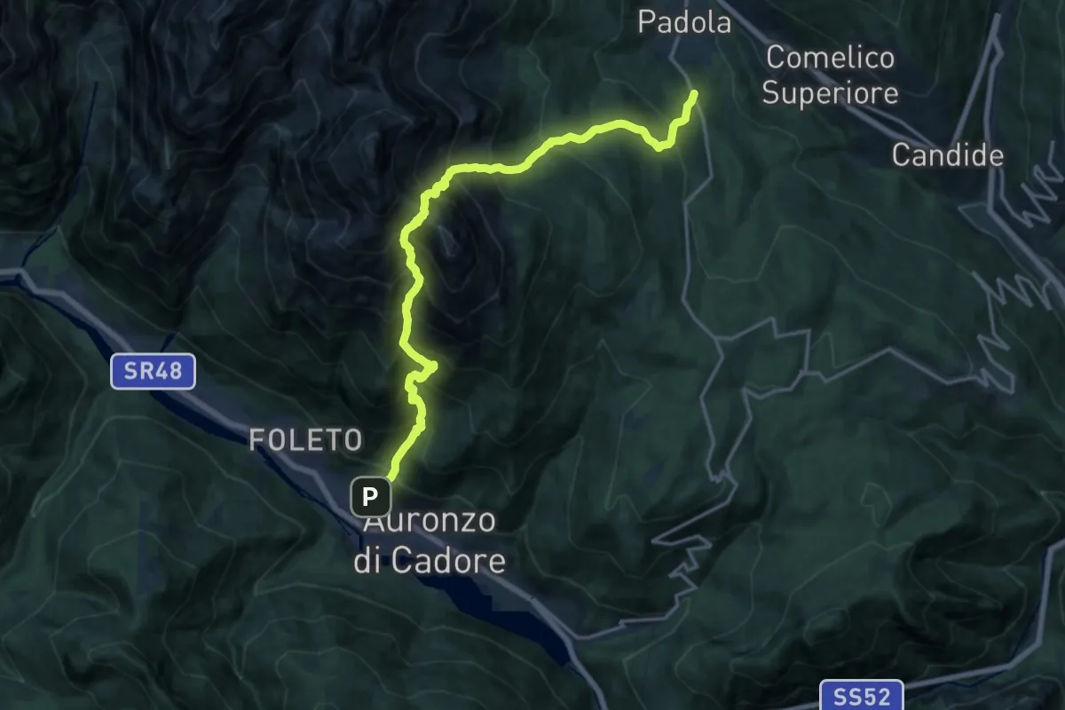
Expert · Trail
Auronzo - Val San Rocco – Padola - Bivio per Chiamora
8.6 km · ↑ 1456 m · 5 h 8 min · 15 km away
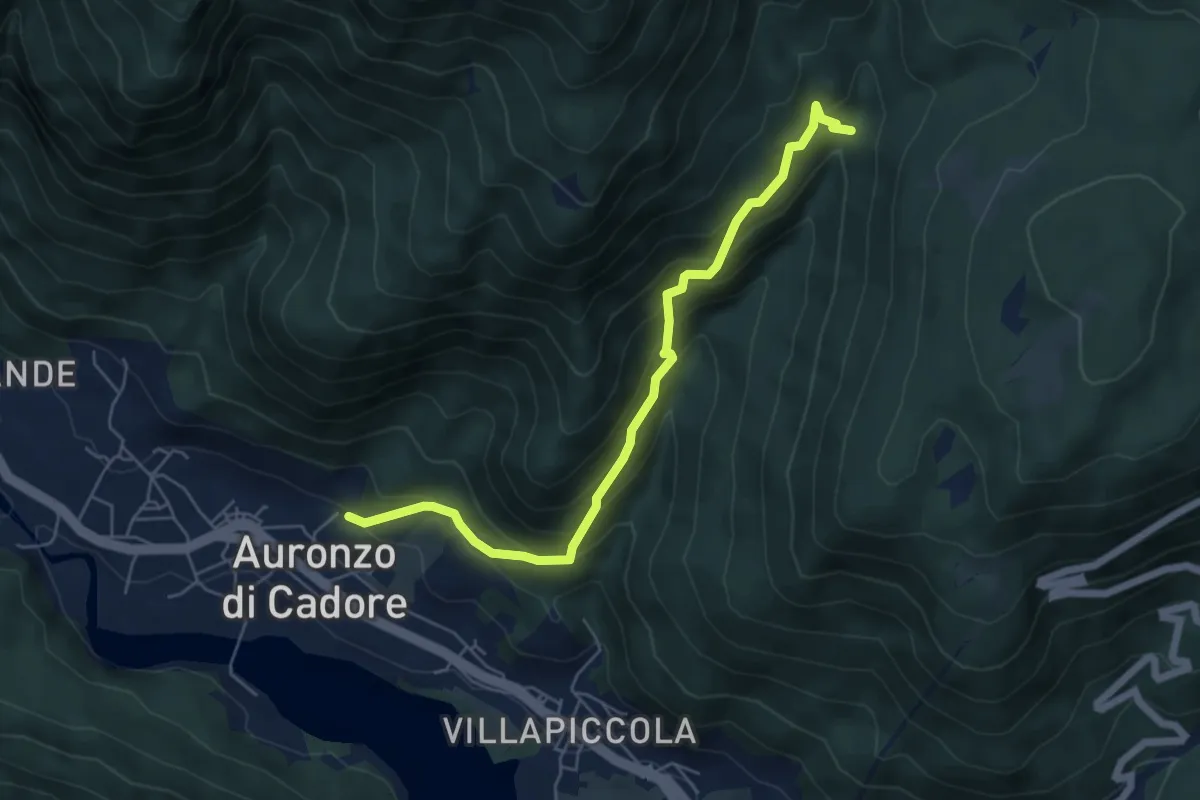
Medium · Trail
Tarin – Larietto
5.8 km · ↑ 478 m · 2 h 24 min · 15 km away
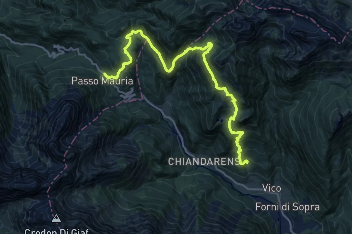
Demanding · Trail
Forni di Sopra località Chianeit (quota 1049 m) – Passo Mauria (quota 1298 m)
11.4 km · ↑ 915 m · 4 h 43 min · 15 km away
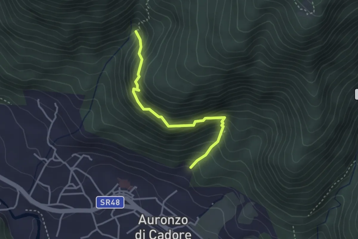
Medium · Trail
Auronzo – I Tofi
2.9 km · ↑ 298 m · 1 h 21 min · 15 km away