Trails near Pinerolo
86 hikes starting within 15 km, nearest first.
Nearest first, page 1 of 2
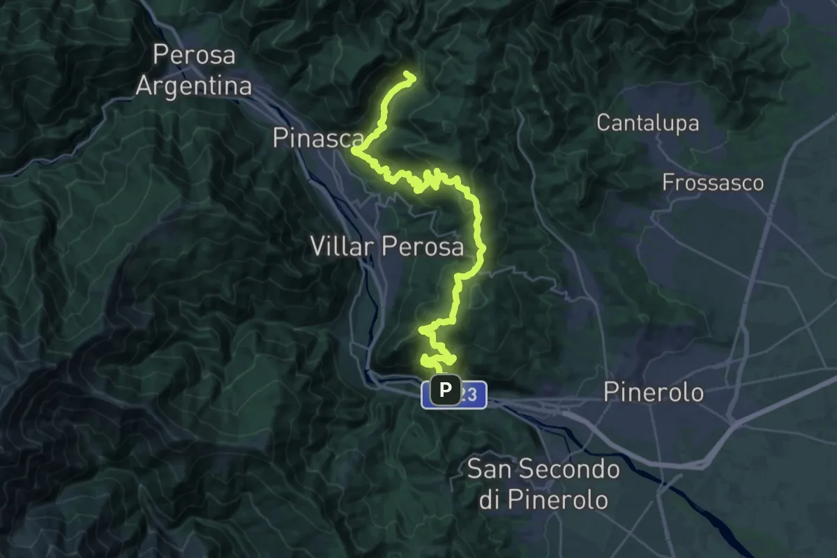
Demanding · Trail
Comba del Traverso, bivio TOS347 – Porte
18.0 km · ↑ 1110 m · 6 h 45 min · 5 km away
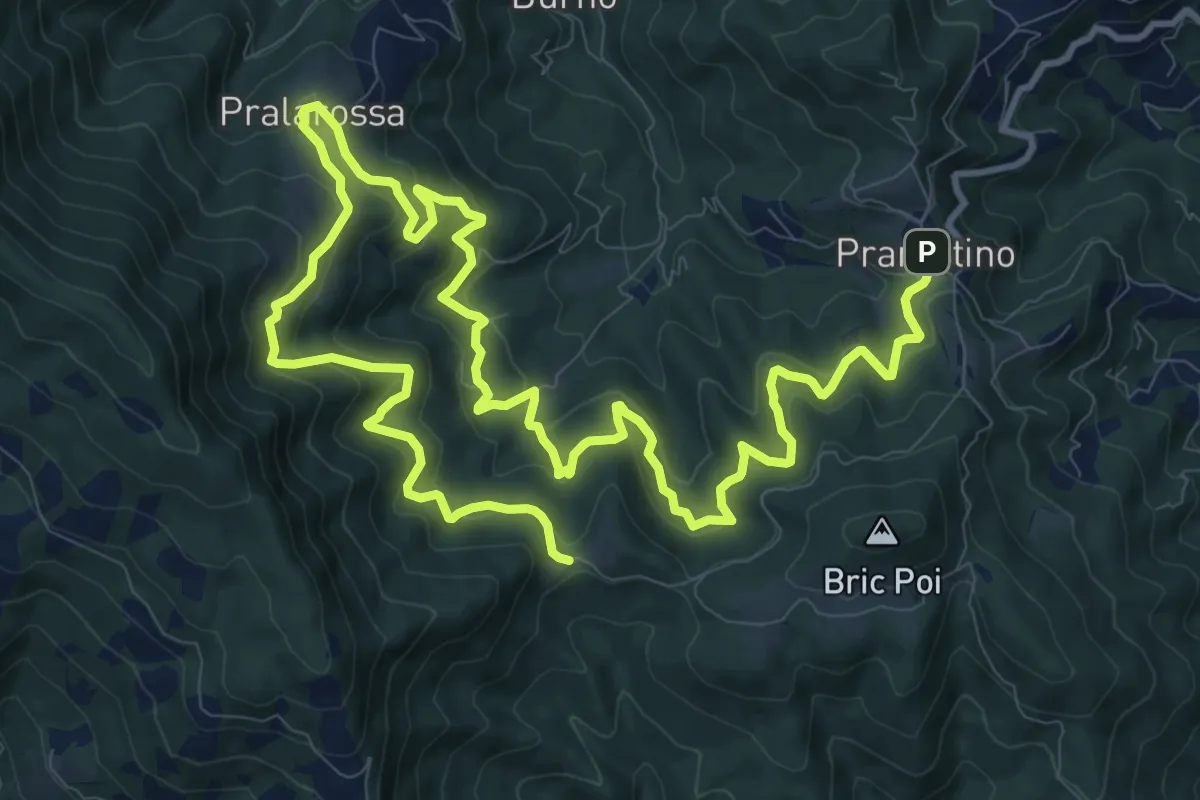
Demanding · Trail
Prarostino, San Bartolomeo, bivio TOS031-TOS032 – Colletta di Prarostino, bivio TOS031-TOS032-TOS033-TOS031A
19.8 km · ↑ 1054 m · 6 h 57 min · 6 km away
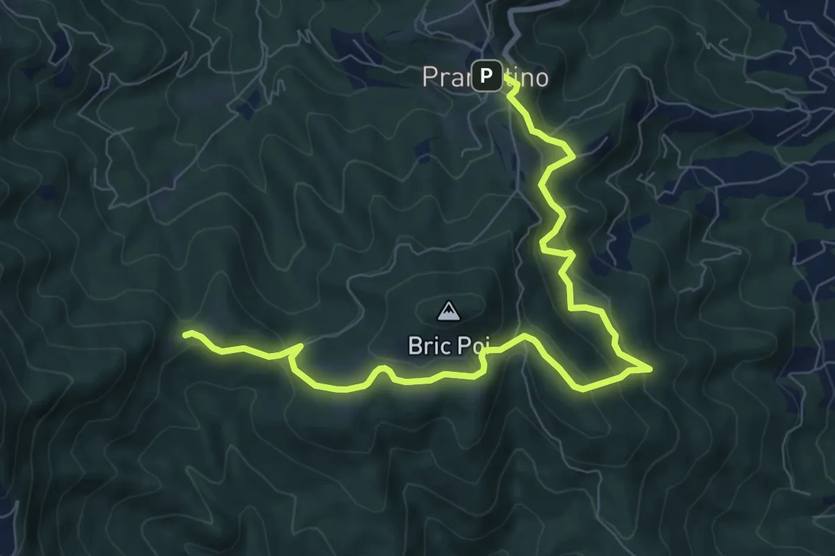
Medium · Trail
Prarostino, S. Bartolomeo, bivio TOS031-TOS032 – Colletta di Prarostino, bivio TOS031-TOS032-TOS033
9.9 km · ↑ 464 m · 3 h 21 min · 6 km away
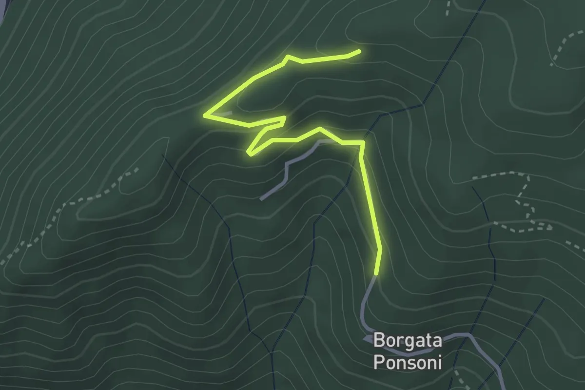
Easy · Trail
C. Dondaina (biv. 301) – Rastello (biv. 301)
3.1 km · ↑ 173 m · 1 h 7 min · 6 km away
Medium · Trail
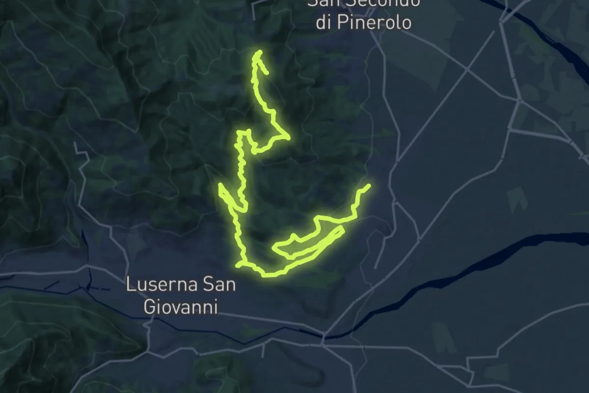
Bricherasio, Cappella Moreri, bivio TOS034-TOS144 – Prarostino, C. Bleynat, bivio TOS032-TOS144
16.5 km · ↑ 374 m · 5 h 8 min · 6 km away
Easy · Trail
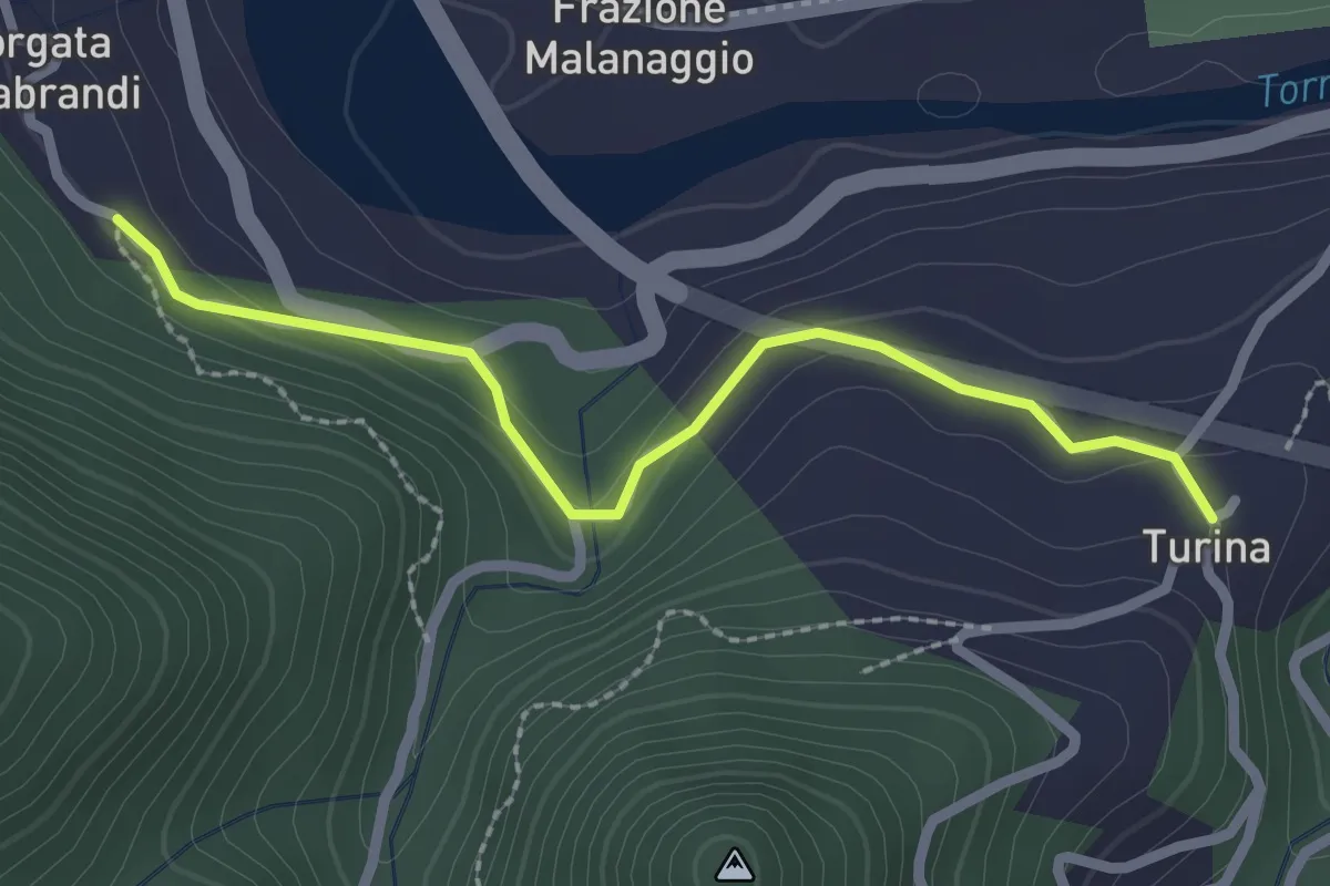
San Germano Chisone, Borgata Chiabrando, bivio TOS300-TOS300A – San Germano Chisone, Borgata Turina, bivio TOS300-TOS300A
2.4 km · ↑ 117 m · 49 min · 6 km away
Medium · Summit
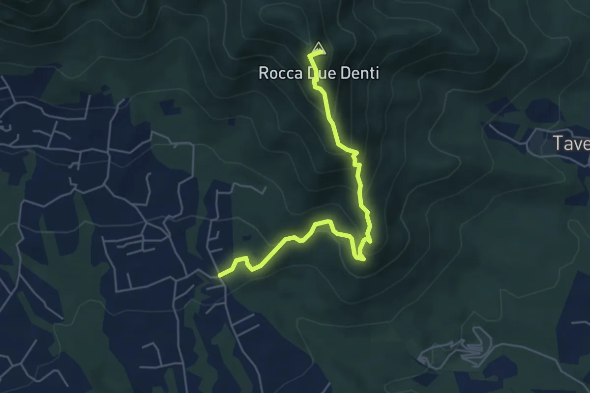
San Giusto – Colletto Rocca Due Denti
4.8 km · ↑ 424 m · 2 h 4 min · 7 km away
Demanding · Trail
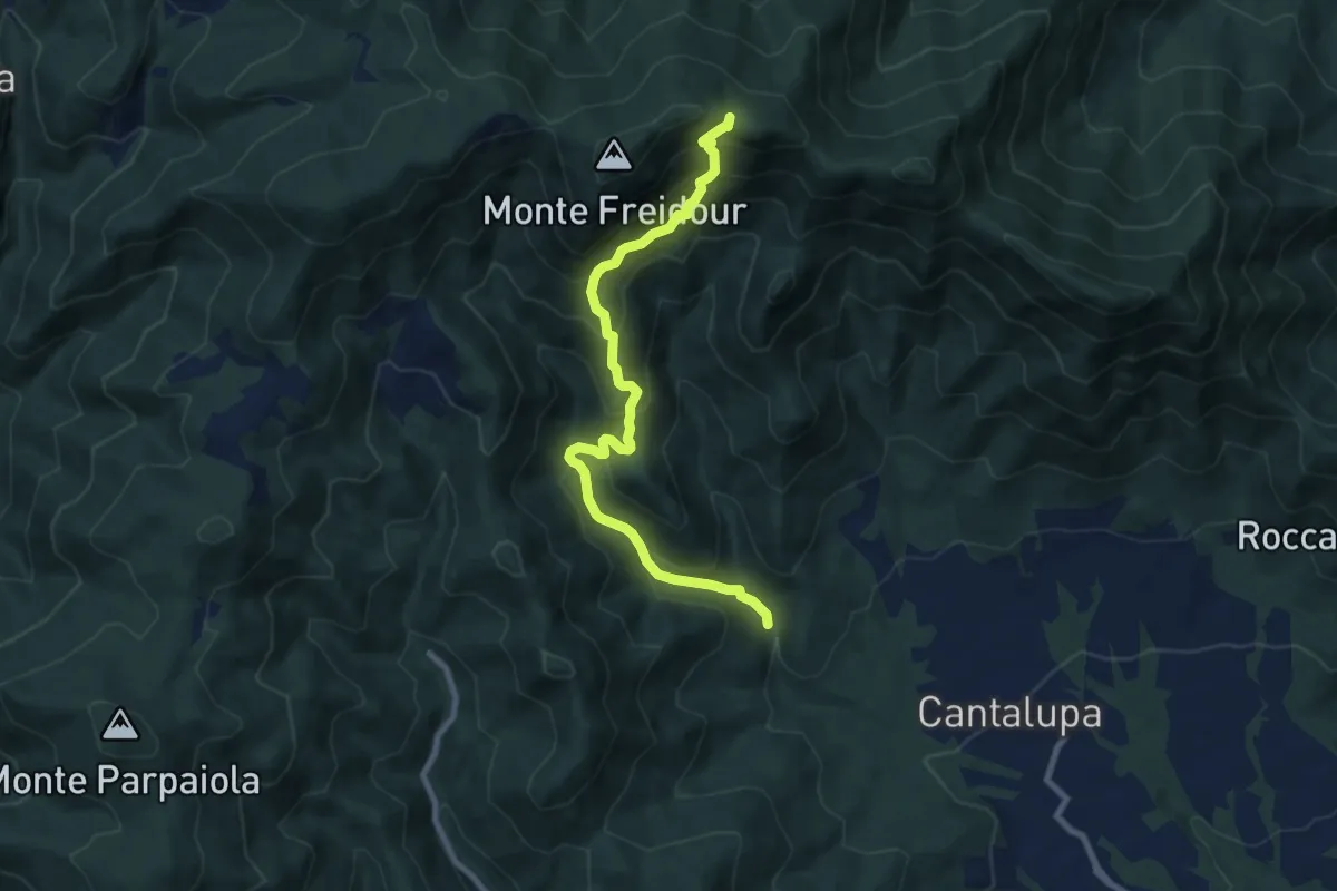
Cantalupa, Case Scrivanda – Colle Aragno Ovest, bivio TOS052-007
9.0 km · ↑ 812 m · 3 h 53 min · 7 km away
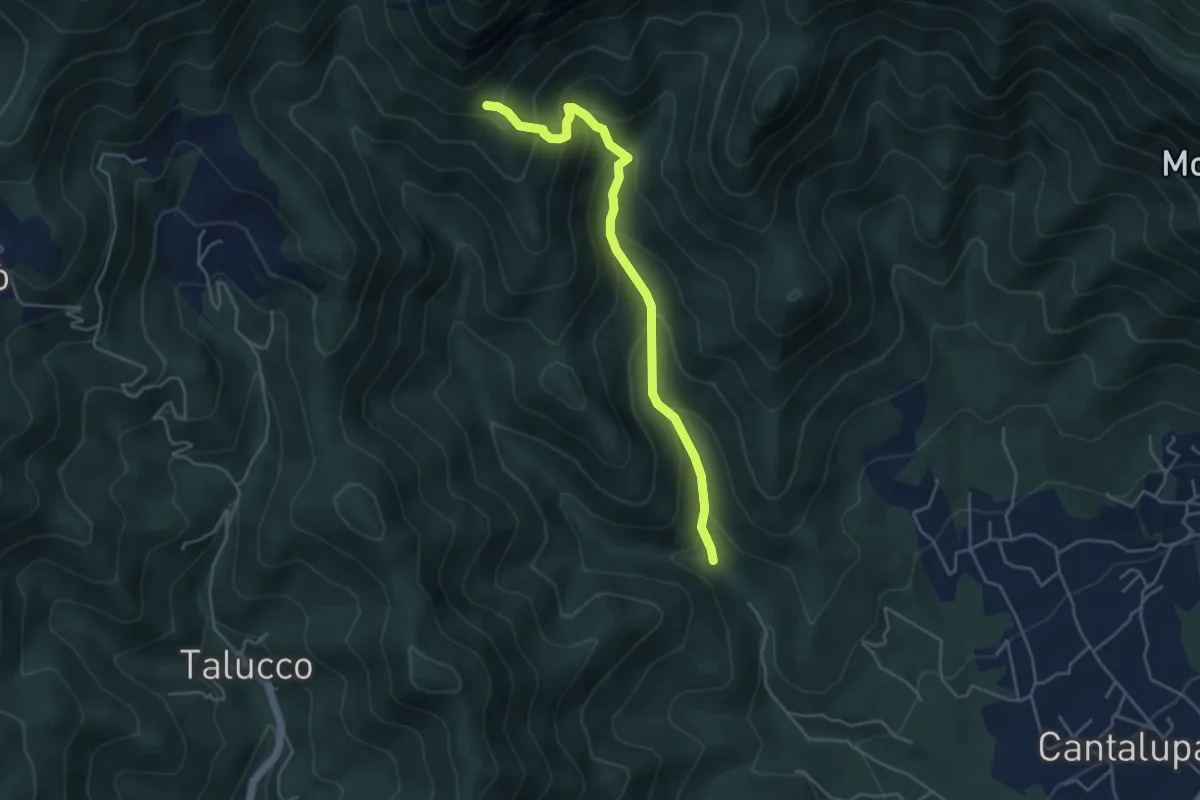
Demanding · Cabin
Case Scrivanda, bivioTOS054-052 – Casa Canada, bivio TOS054-052-060
4.6 km · ↑ 422 m · 2 h · 7 km away
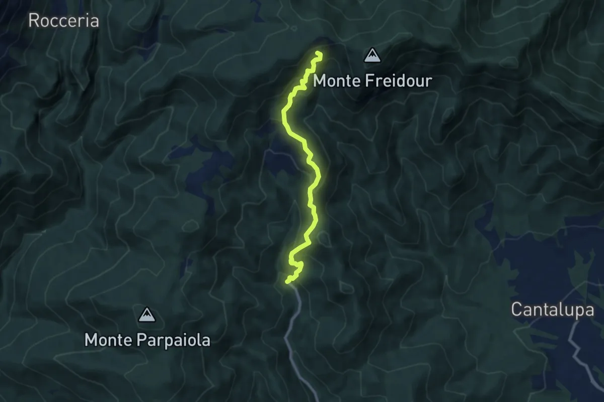
Medium · Summit
Pinerolo, frazione Talucco – Colle Sperina, bivio TOS049-TOS007
7.5 km · ↑ 625 m · 3 h 8 min · 8 km away
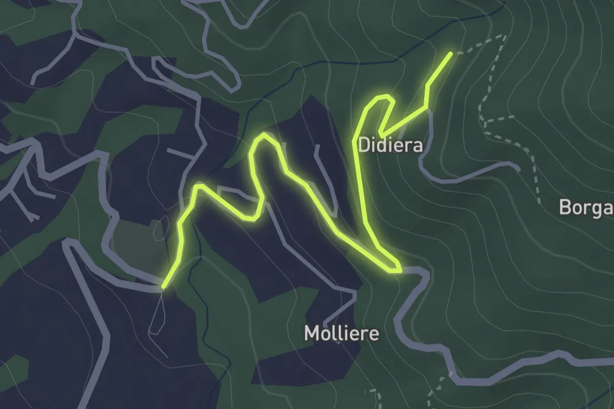
Easy · Trail
La Rul – Caserme Didiera, bivio TOS301-TOS309B
4.0 km · ↑ 176 m · 1 h 19 min · 8 km away
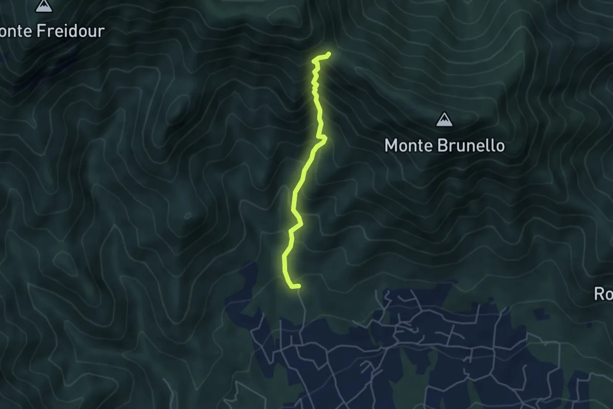
Medium · Trail
San Martino, Cantalupa – Bivio 002-021-051, colle della Bessa, Rumiano
3.8 km · ↑ 531 m · 2 h 3 min · 8 km away
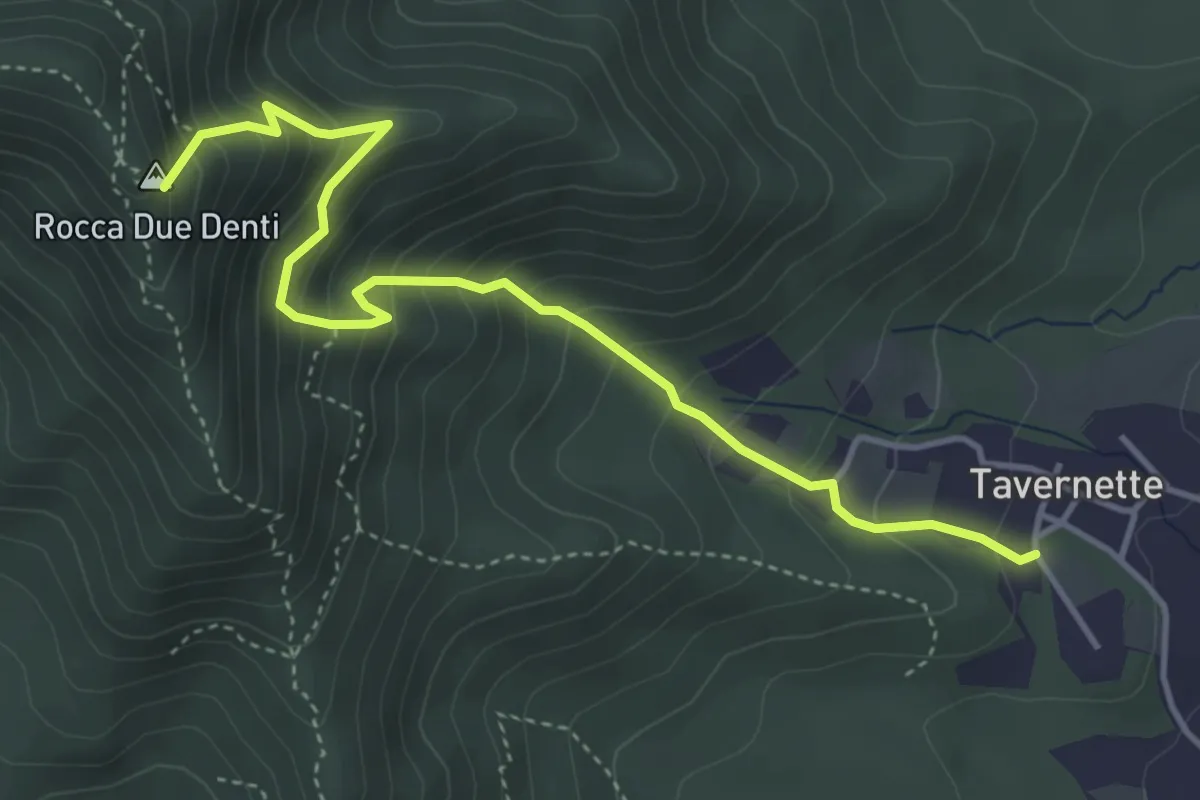
Medium · Summit
Cumiana, località Tavernette – Bivio TOS022-TOS020
4.7 km · ↑ 537 m · 2 h 17 min · 8 km away
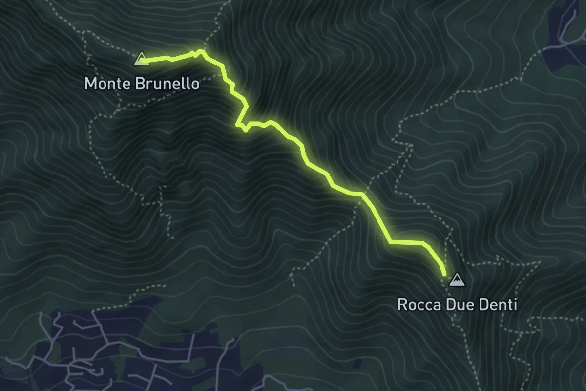
Demanding · Summit
Colletto Rocca Due Denti – Colle della Bessa (Rumiano)
4.1 km · ↑ 546 m · 2 h 9 min · 8 km away
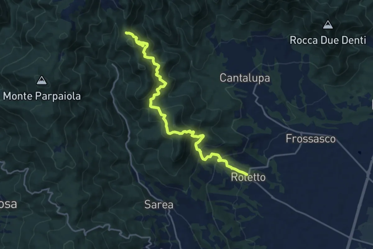
Demanding · Trail
Roletto, parrocchia – Colle Pairabue, bivio TOS049-TOS048
14.4 km · ↑ 1075 m · 5 h 44 min · 8 km away
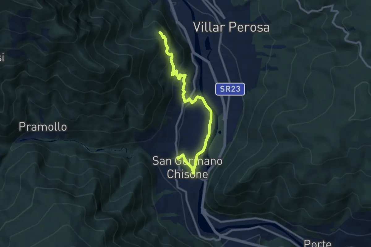
Medium · Trail
San Germano Chisone, Borgata Mondoni, bivio TOS300-TOS300B – San Germano Chisone, Loc. Pra Pens, bivio TOS300-TOS300B
7.8 km · ↑ 329 m · 2 h 34 min · 8 km away
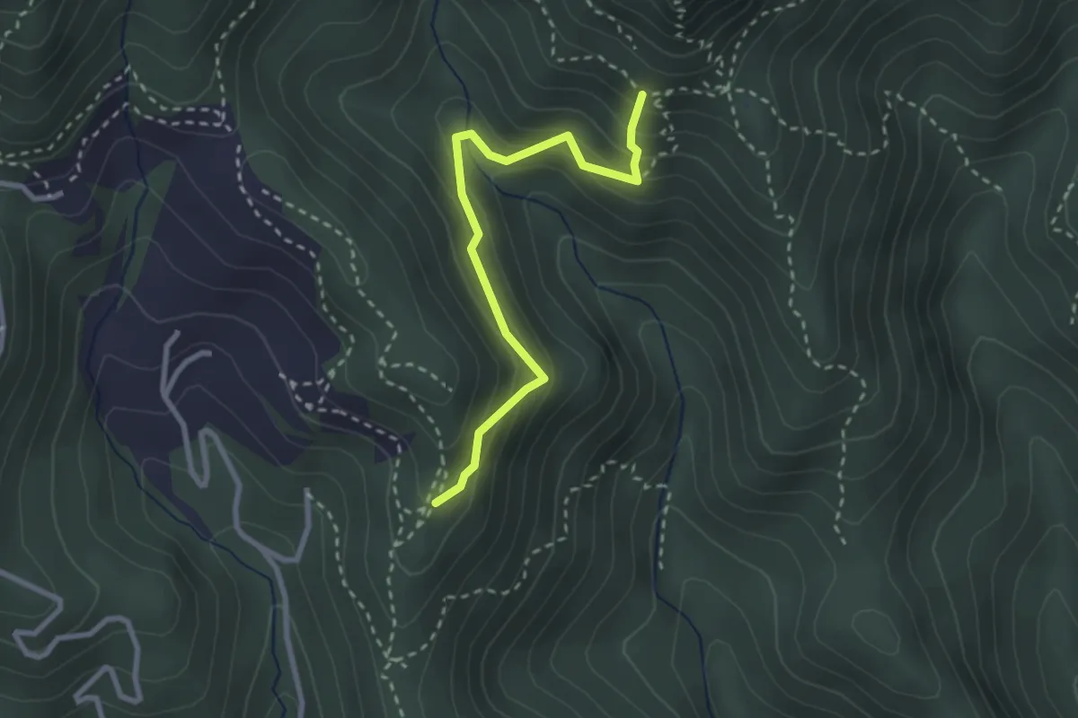
Medium · Cabin
Colle Eremita, bivio TOS049-060A – Pressi di Casa Canada, bivio TOS060-060A
2.7 km · ↑ 235 m · 1 h 9 min · 9 km away
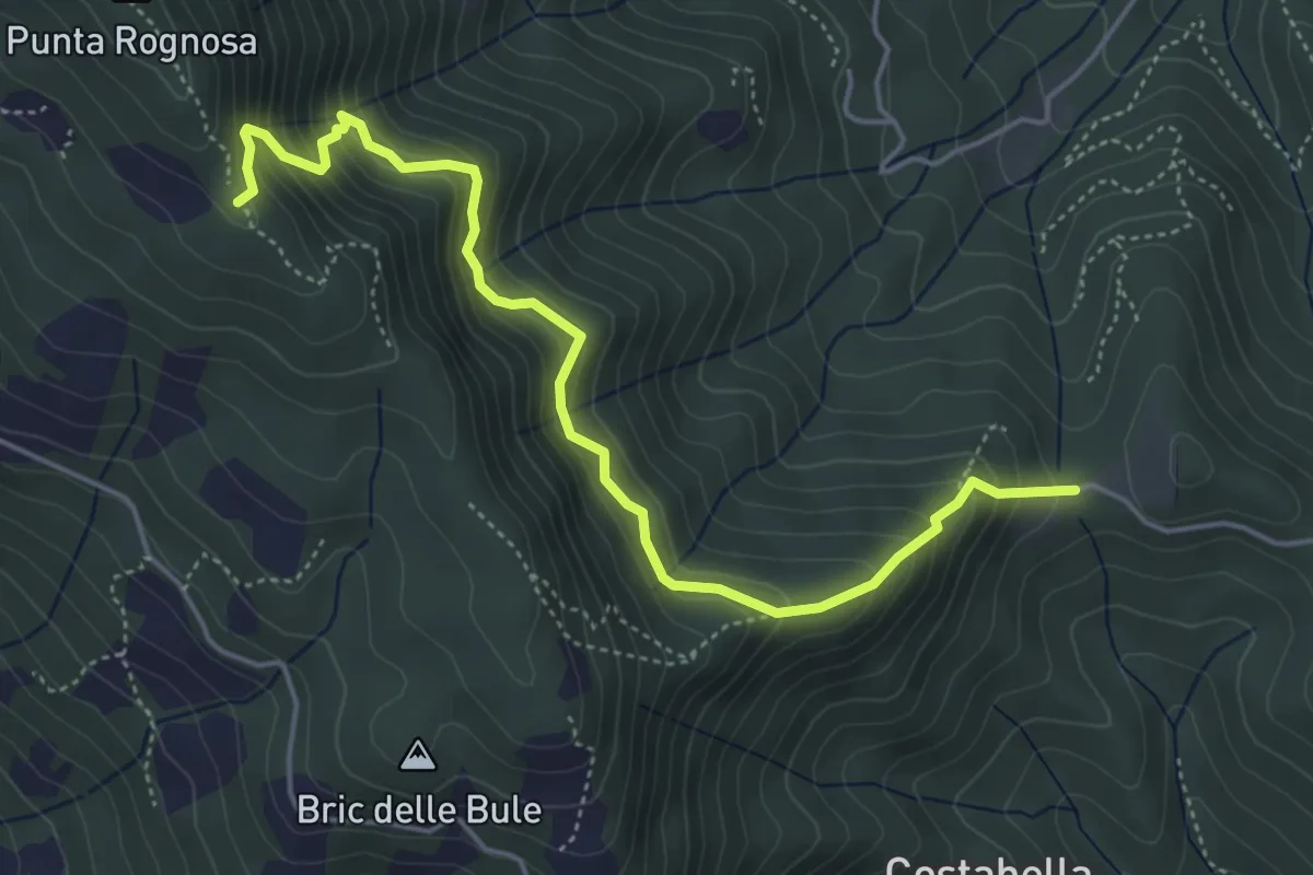
Medium · Trail
Colletta di Prarostino, bivio TOS031-TOS032-TOS033-TOS031A – Bivio TOS033-TOS143
5.3 km · ↑ 519 m · 2 h 23 min · 9 km away
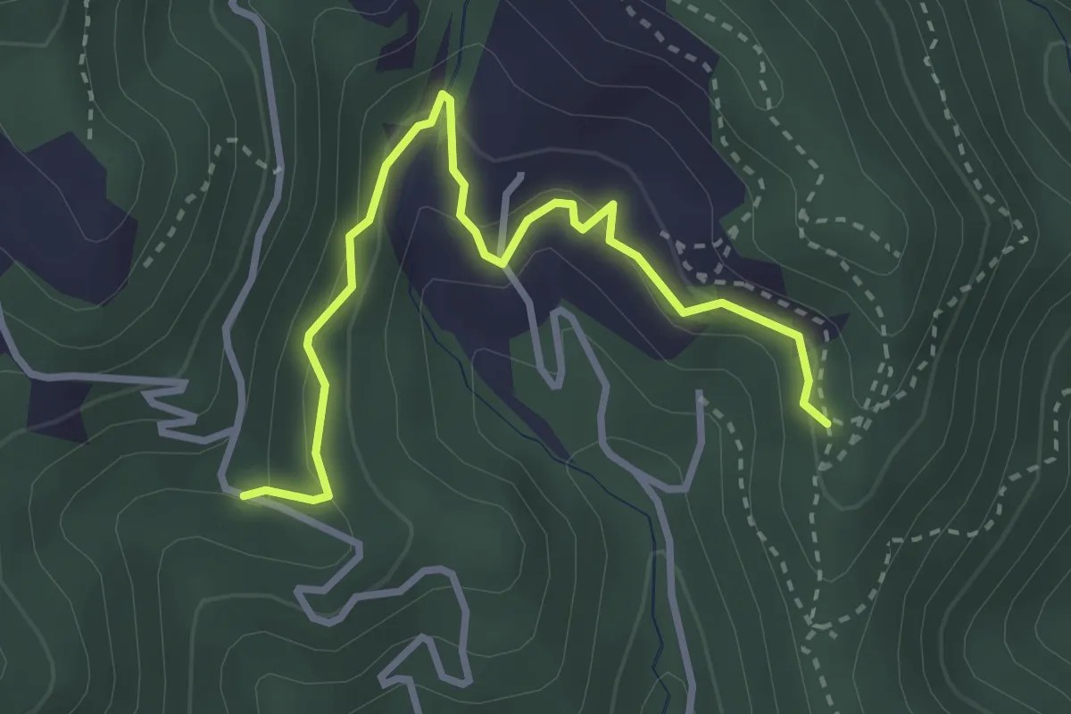
Easy · Trail
Sentiero dei castagni
3.4 km · ↑ 212 m · 1 h 15 min · 9 km away
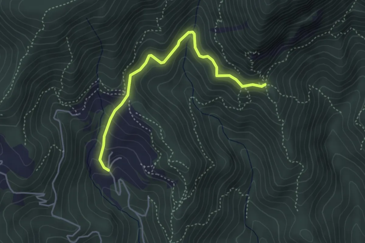
Easy · Cabin
Case Brun (loc. Freirogna) – Casa Canada, bivio TOS054-052-060
4.0 km · ↑ 299 m · 1 h 36 min · 9 km away
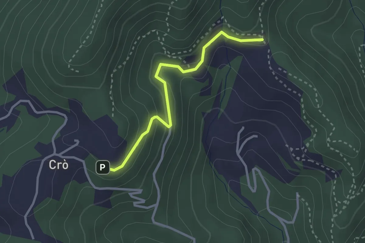
Easy · Trail
Colle Eremita, bivio TOS049-060A – Pressi di Casa Canada, bivio TOS060-060A
2.6 km · ↑ 138 m · 55 min · 9 km away
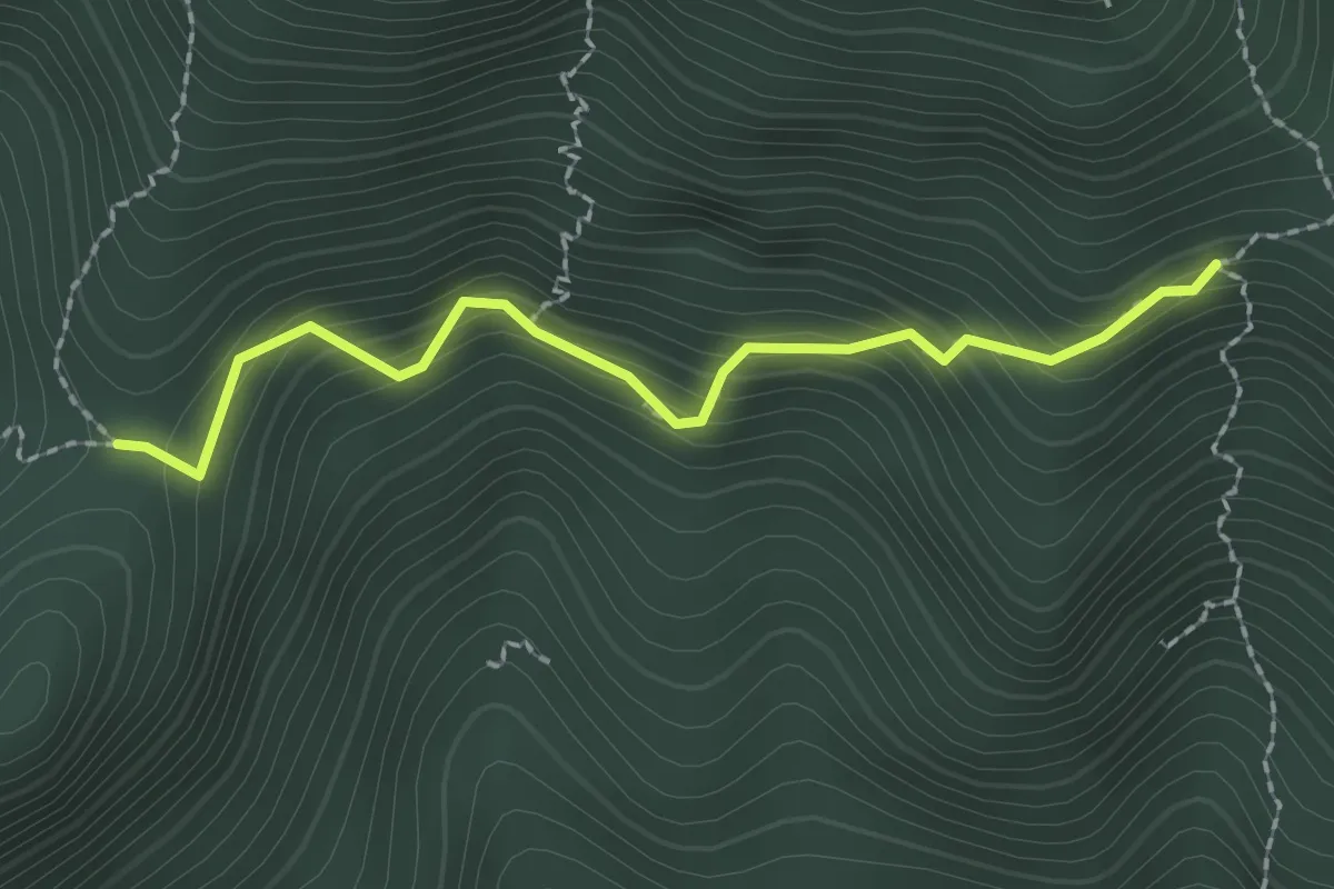
Medium · Trail
Fontana Ellena, bivio TOS051A-051 – Passo Castellar, bivio TOS051A-053
2.1 km · ↑ 227 m · 1 h · 9 km away
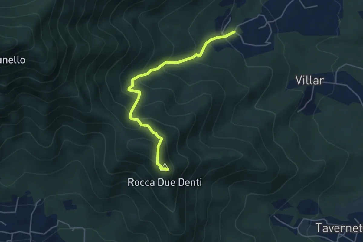
Medium · Summit
San Gervasio Superiore – Rocca Due Denti
4.1 km · ↑ 410 m · 1 h 52 min · 9 km away
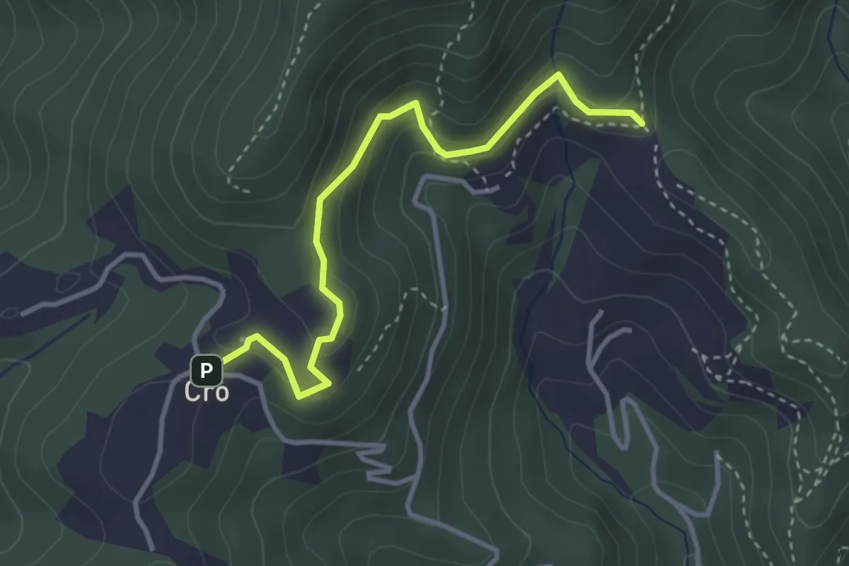
Easy · Trail
Crò (via Cossulera) – Colle Ciardonet, bivio TOS061-060
3.4 km · ↑ 149 m · 1 h 8 min · 9 km away
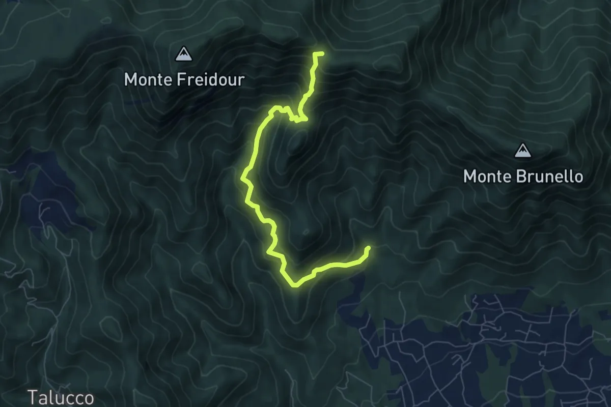
Medium · Trail
Fontana Calda, località Scrivanda – Colle Aragno Est, bivio TOS005-007-053
7.1 km · ↑ 702 m · 3 h 11 min · 10 km away
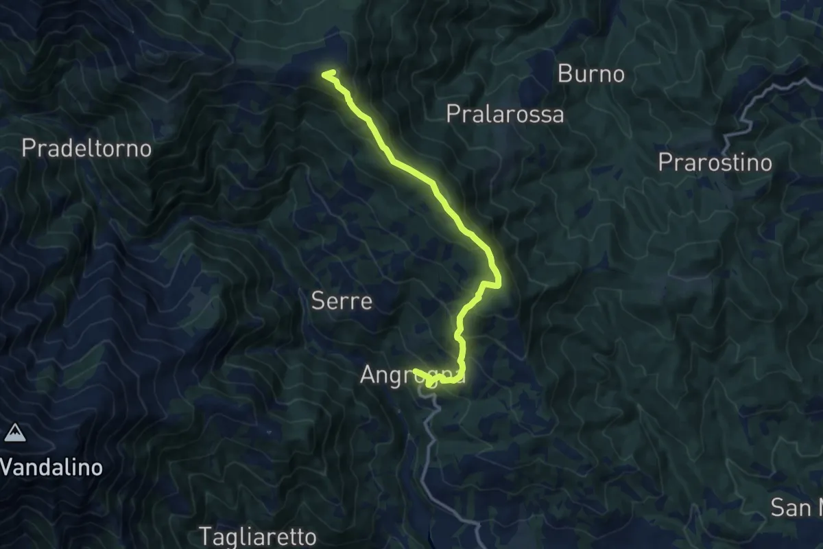
Medium · Summit
Angrogna, loc. San Lorenzo – Angrogna, Colle e Rifugio Vaccera, bivio TOS304-TOS361-TOS143
11.1 km · ↑ 769 m · 4 h 18 min · 10 km away
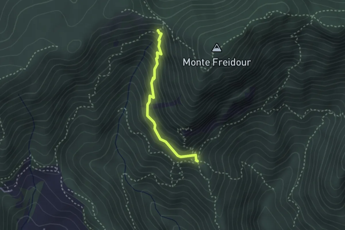
Medium · Cabin
Casa Canada, bivio TOS054-052-060 – Bivio TOS049-052B presso Colle Sperina
2.4 km · ↑ 245 m · 1 h 6 min · 10 km away
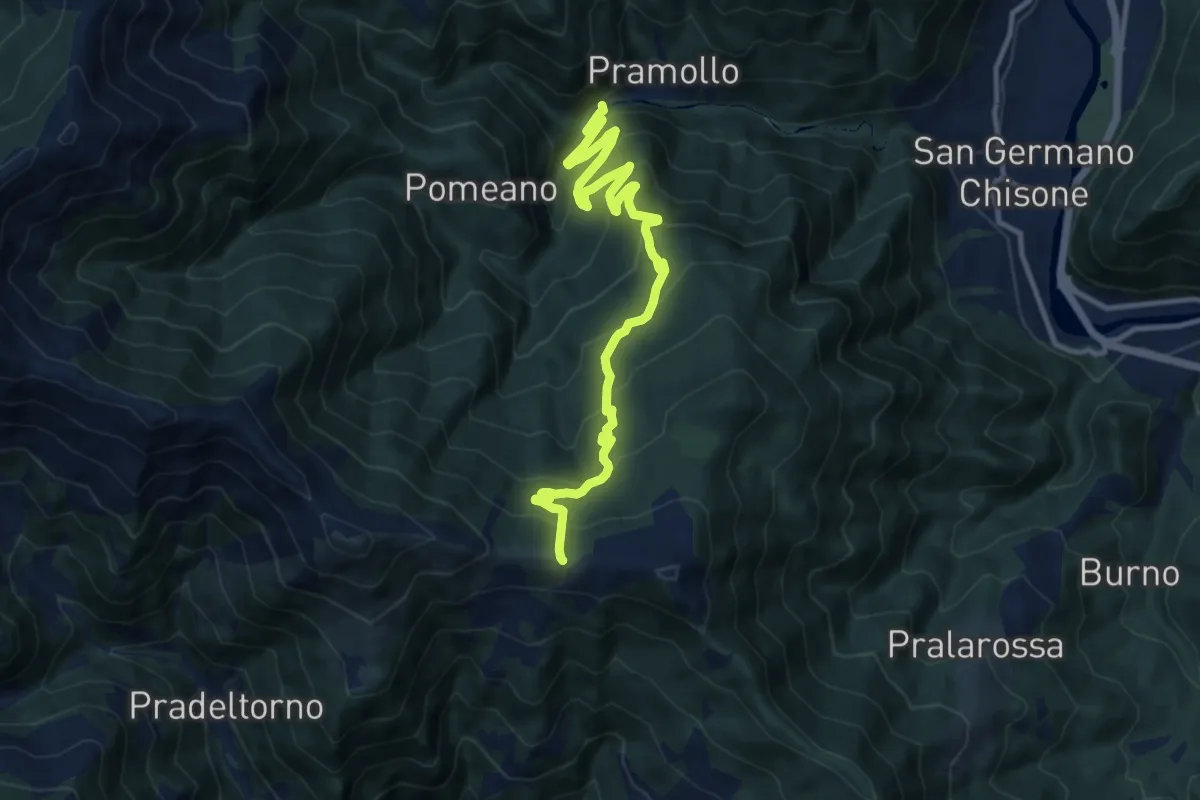
Demanding · Cabin
Pramollo – Colle Vaccera, bivio TOS143, TOS304, TOS150
12.9 km · ↑ 833 m · 4 h 51 min · 10 km away
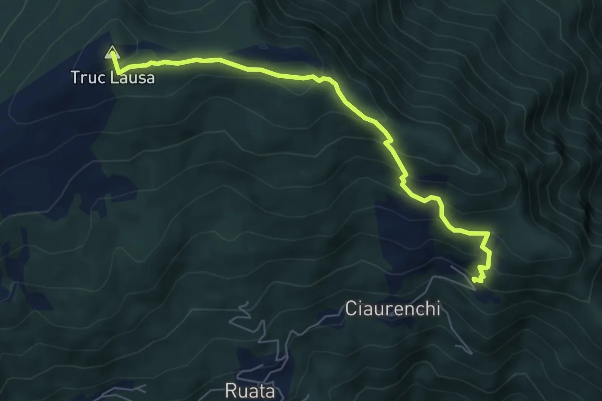
Medium · Summit
Pramollo, loc. Ribetti, bivio TOS300-TOS362 – Bivio strada sterrata per Gran Truco - Gardetta
6.1 km · ↑ 447 m · 2 h 25 min · 10 km away
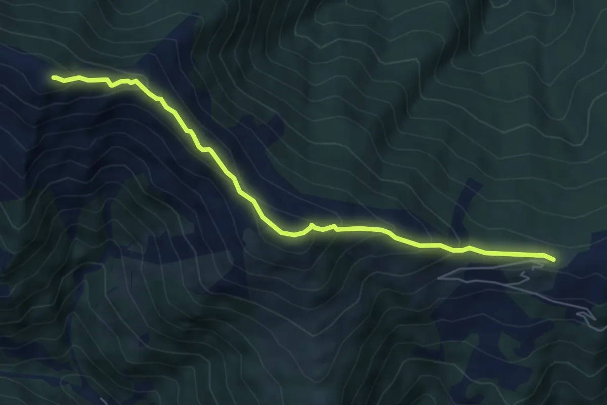
Medium · Summit
Angrogna, bivio TOS150- TOS361 presso Colle Vaccera – Colle Souiran, bivio TOS150-TOS150A-TOS305B
6.2 km · ↑ 451 m · 2 h 27 min · 10 km away
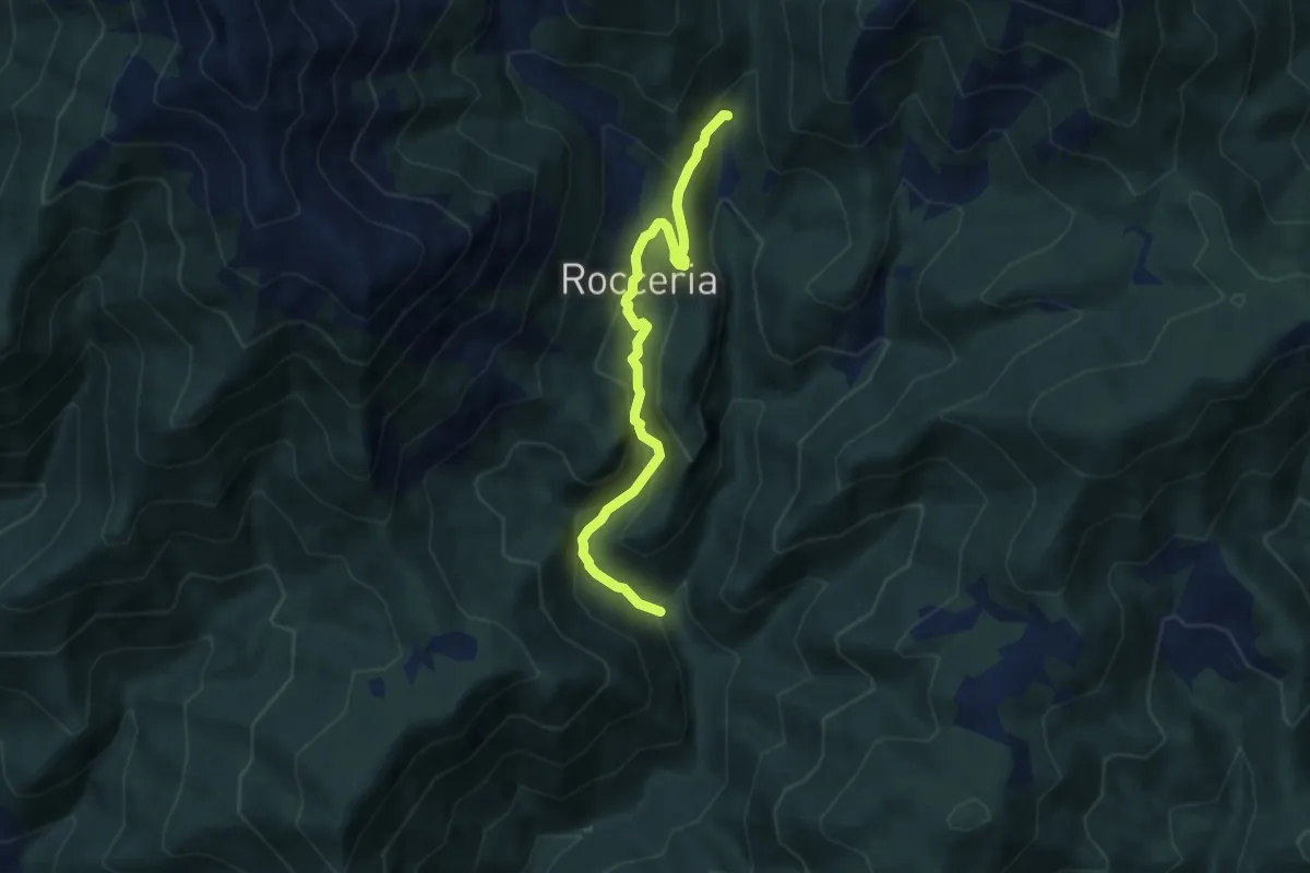
Medium · Trail
Bivio TOS347-TOS347 presso ponte delle Piane – Bivio TOS347-TOS347A presso Borgata Traversi
6.8 km · ↑ 355 m · 2 h 22 min · 10 km away
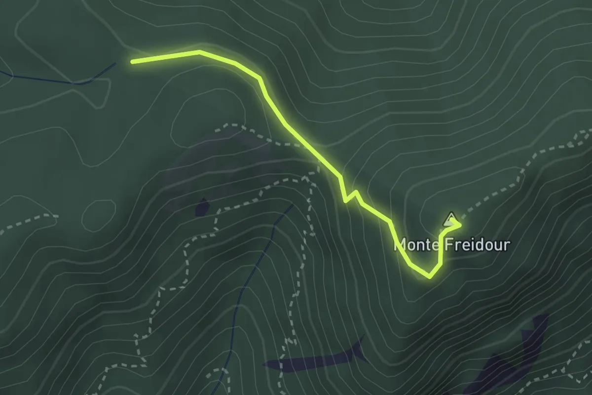
Medium · Summit
Bivio TOS006-TOS007, Colle Prà l'Abbà – Colle Aragno Est, bivio TOS005A-TOS007-TOS053
2.6 km · ↑ 157 m · 57 min · 10 km away
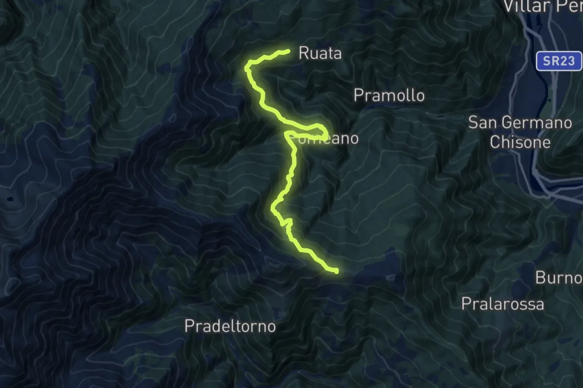
Demanding · Trail
Pramollo, località Bocchiardi, bivio TOS305-TOS361 – Colle Vaccera, bivio TOS304-TOS304
15.2 km · ↑ 1041 m · 5 h 50 min · 11 km away
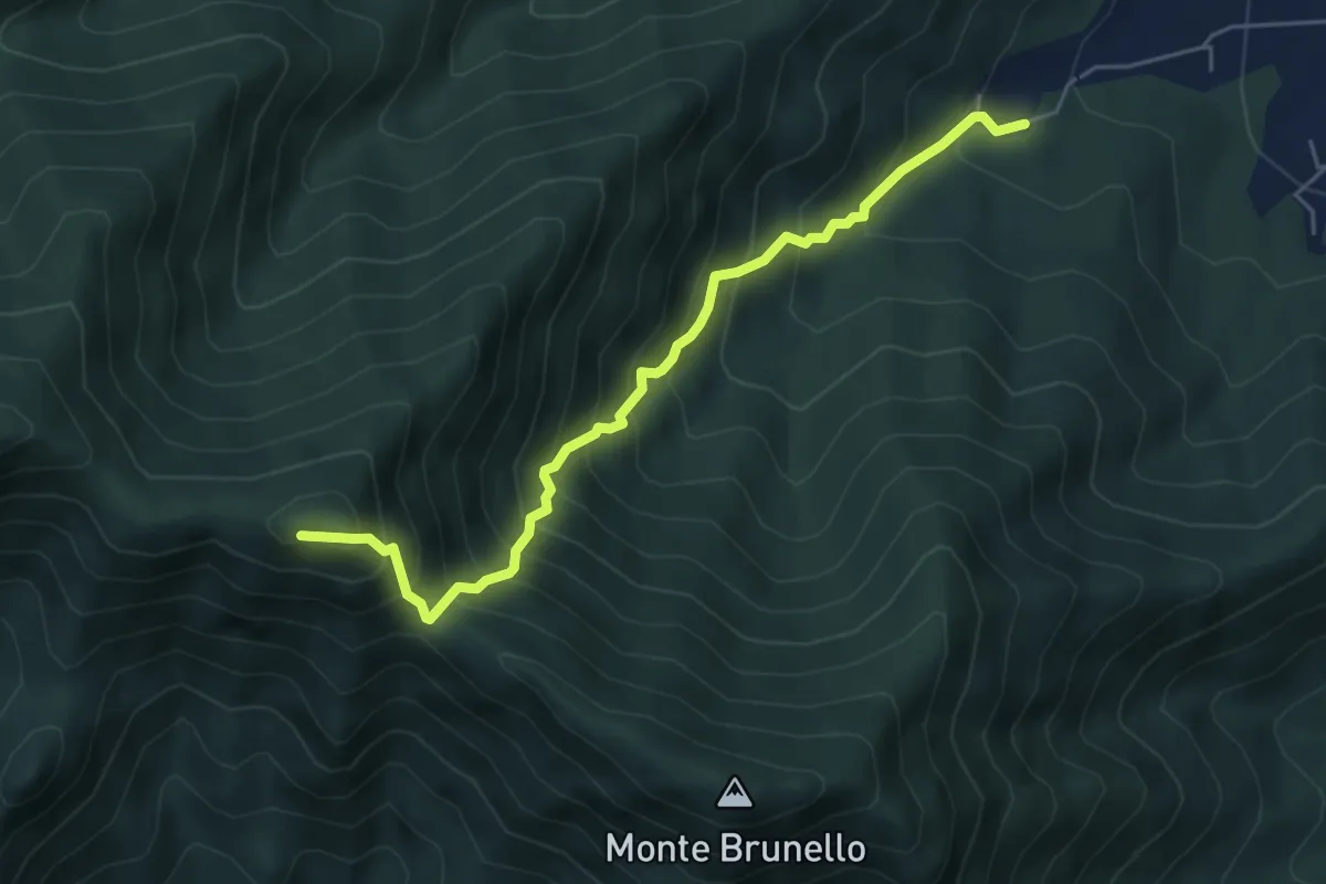
Demanding · Summit
Ciom, bivio TOS002-TOS001A – MonteTre Denti orientale, Cappella
5.5 km · ↑ 746 m · 2 h 55 min · 11 km away
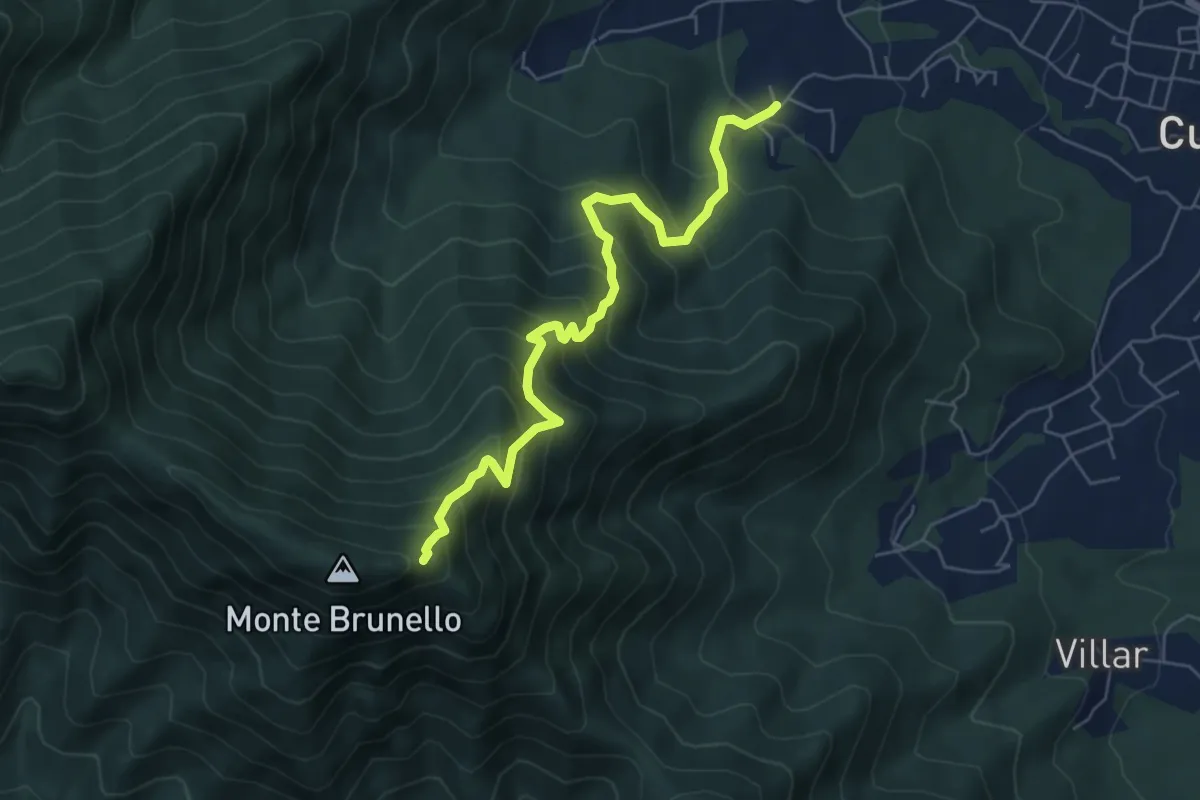
Medium · Trail
Oreglia, Bivio Porta – Bivio TOS021-TOS001
6.4 km · ↑ 722 m · 3 h 4 min · 11 km away
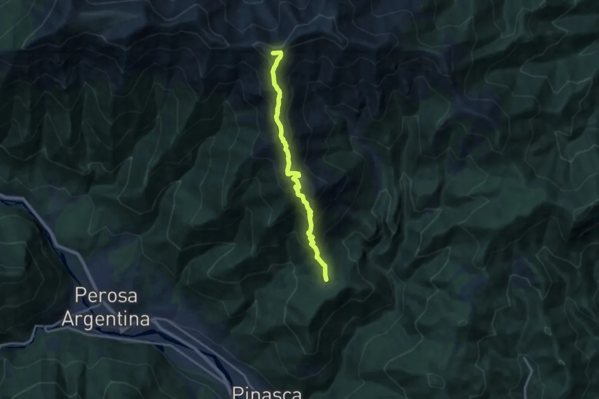
Demanding · Summit
Serremarchetto – Punta Aquila
10.9 km · ↑ 1002 m · 4 h 44 min · 11 km away
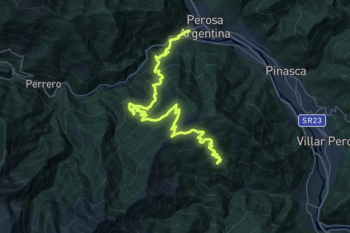
Medium · Trail
Sentieri della Resistenza - Tappa 11
15.6 km · ↑ 674 m · 5 h 36 min · 11 km away
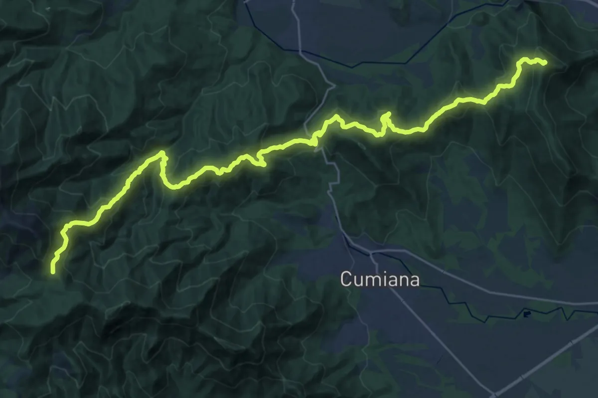
Demanding · Summit
Sangano – Colle Ceresera, bivio TOS008-TOS450
33.6 km · ↑ 2139 m · 12 h 34 min · 11 km away
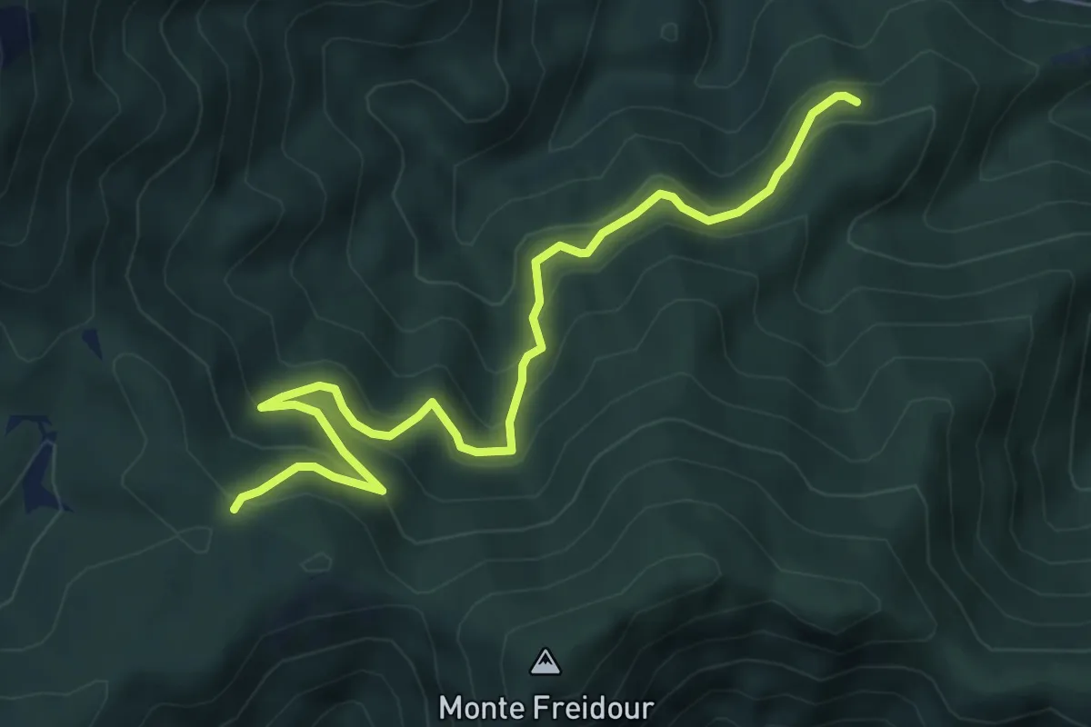
Medium · Trail
Località Pian di Chele, bivio TOS005-TOS006 – Colle Prà l'Abbà
6.9 km · ↑ 466 m · 2 h 38 min · 11 km away
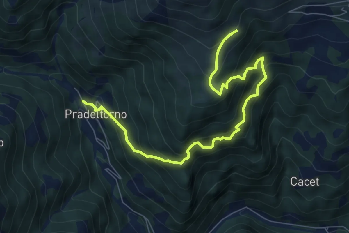
Medium · Trail
Angrogna, Prà del Torno, bivio TOS138-TOS141 – Angrogna, località Bagnau, bivio TOS141-TOS150A
7.6 km · ↑ 785 m · 3 h 29 min · 11 km away
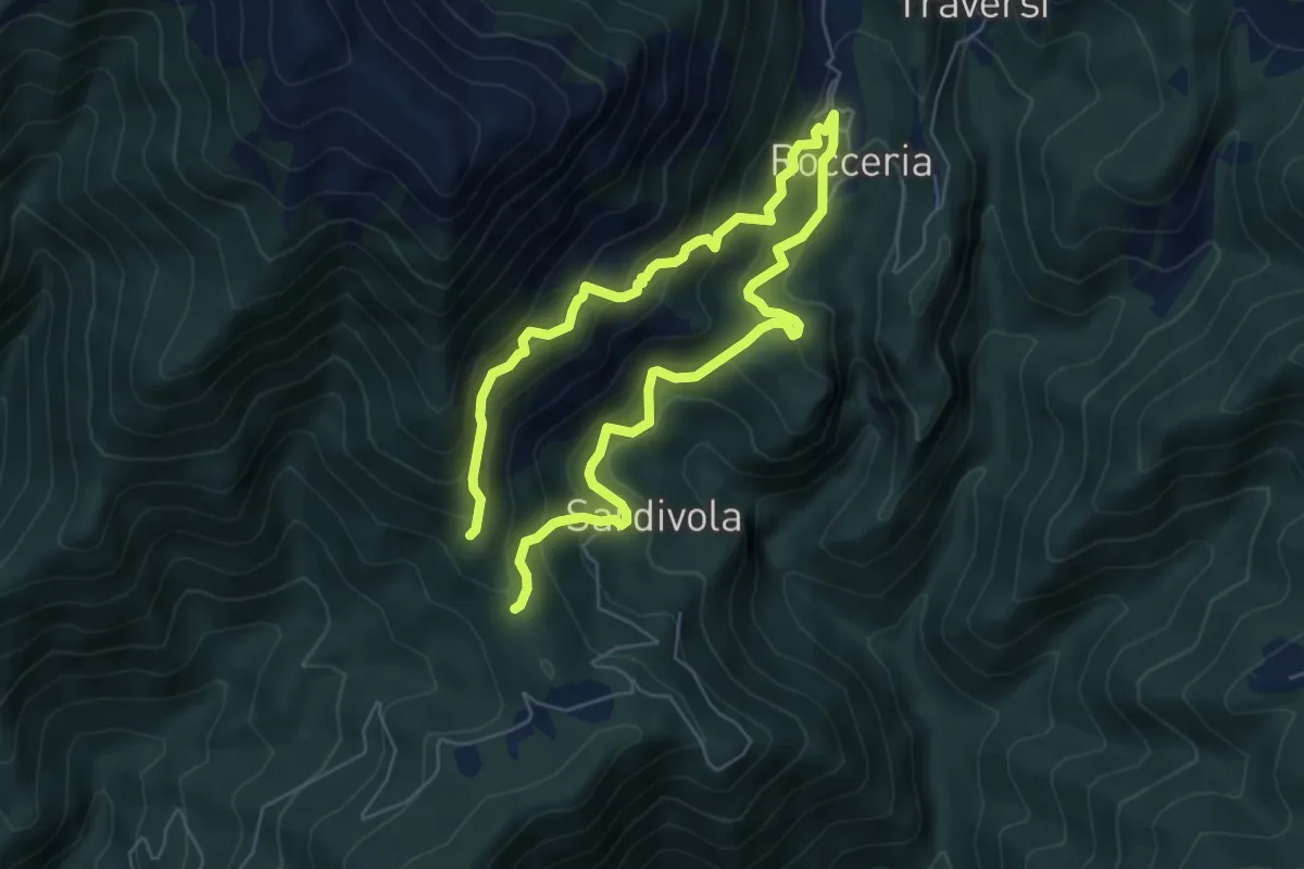
Demanding · Trail
Bivio TOS346-TOS346A presso Olivieri – Bivio TOS346-TOS346A
9.8 km · ↑ 873 m · 4 h 12 min · 11 km away
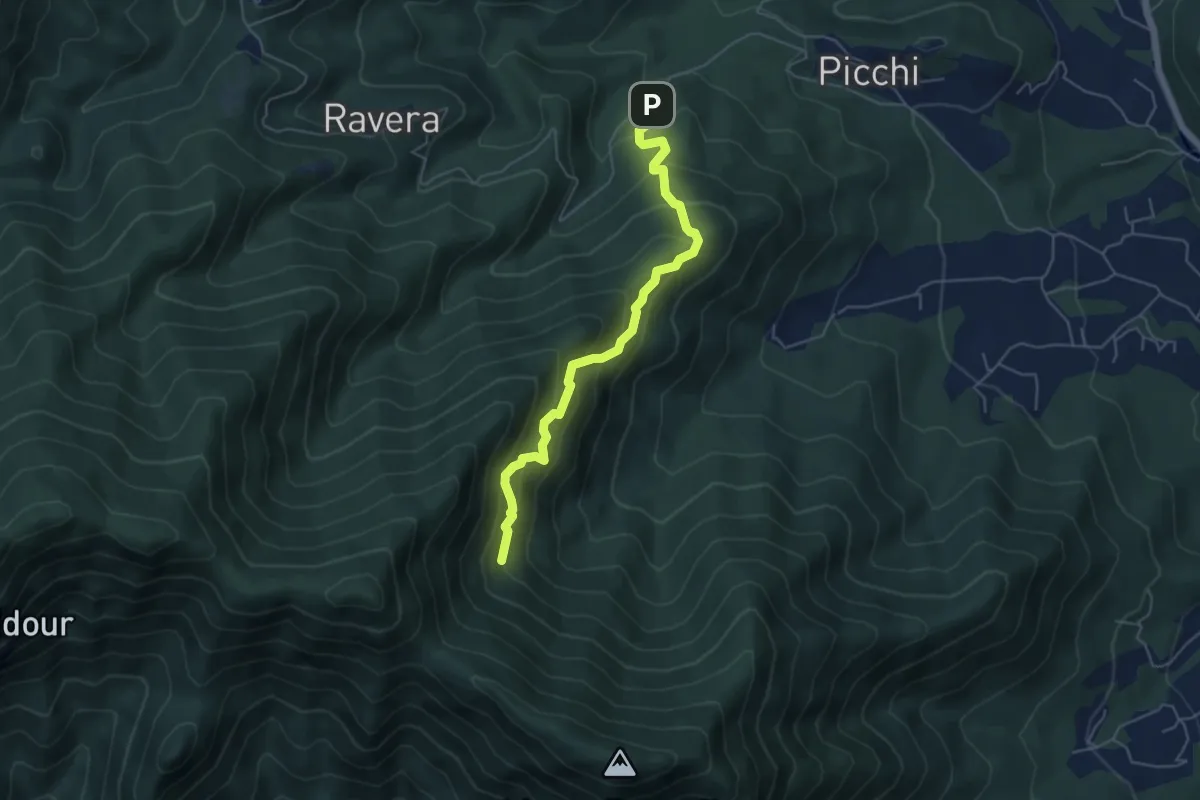
Medium · Trail
Strada Ravera presso vasca AIB – Fontana del Prete, bivio TOS002
5.2 km · ↑ 525 m · 2 h 22 min · 11 km away
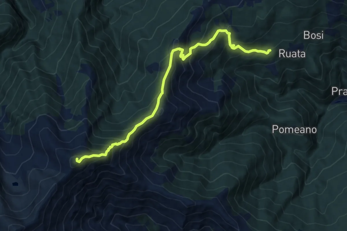
Demanding · Summit
Pramollo, Fraz.Bocchiardi, bivio TON306-TON305 – Gran Truc, bivio TOS206-TOS305
12.8 km · ↑ 1188 m · 5 h 35 min · 11 km away
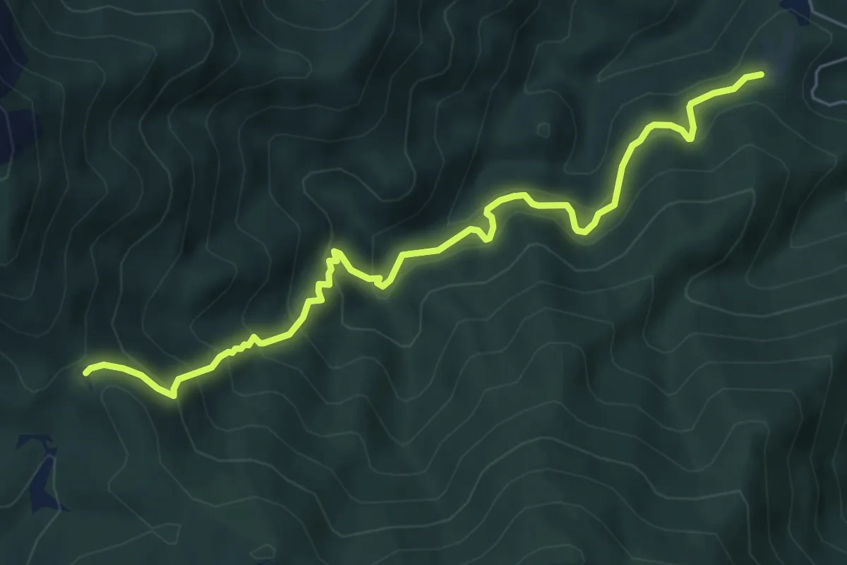
Medium · Trail
Pian delle Benne, bivio TOS004-TOS005-TOS008 – Bivio TOS008-TOS450, Colle Ceresera
6.9 km · ↑ 598 m · 2 h 56 min · 12 km away
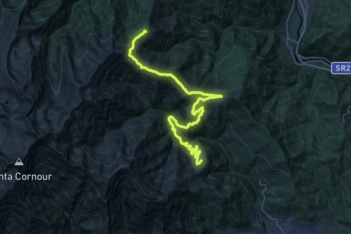
Demanding · Summit
Sentieri della Resistenza - Tappa 12
32.0 km · ↑ 2095 m · 12 h 6 min · 12 km away
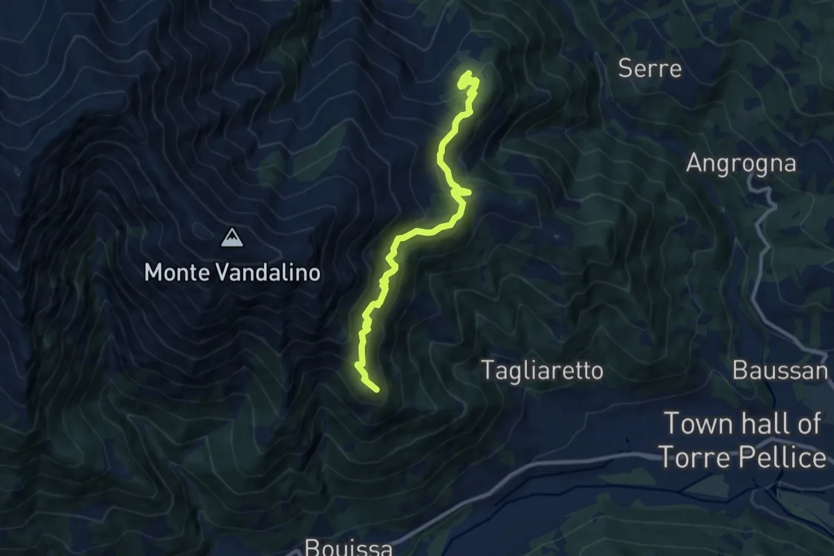
Demanding · Summit
Sentieri della Resistenza - Tappa 13
9.2 km · ↑ 674 m · 3 h 38 min · 12 km away
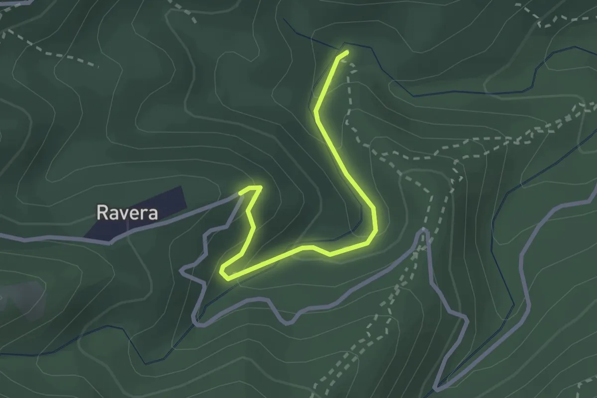
Easy · Trail
Ponte Magnina, bivio TOS004A-TOS004 – Strada Loc Borgata Ravera
2.3 km · ↑ 142 m · 52 min · 12 km away
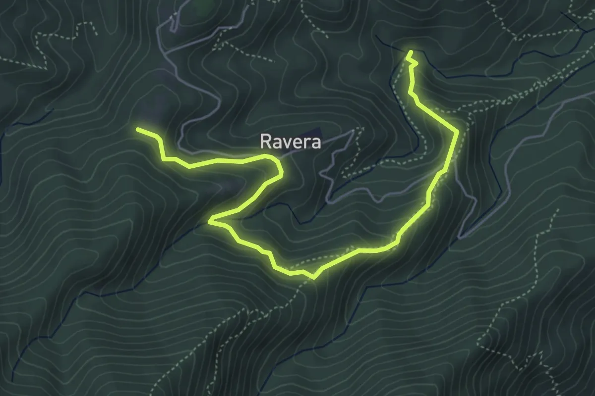
Medium · Trail
Ponte Magnina, bivio TOS009-TOS004 – Pian delle Benne, bivio TOS005-TOS008
6.2 km · ↑ 413 m · 2 h 22 min · 12 km away