Trails near Pinerolo
86 hikes starting within 15 km, nearest first.
Nearest first, page 2 of 2
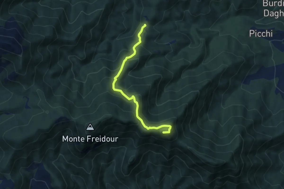
Demanding · Summit
Bastianoni, bivio TOS005-TOS009 – bivio TOS005-TOS002
7.7 km · ↑ 598 m · 3 h 7 min · 12 km away
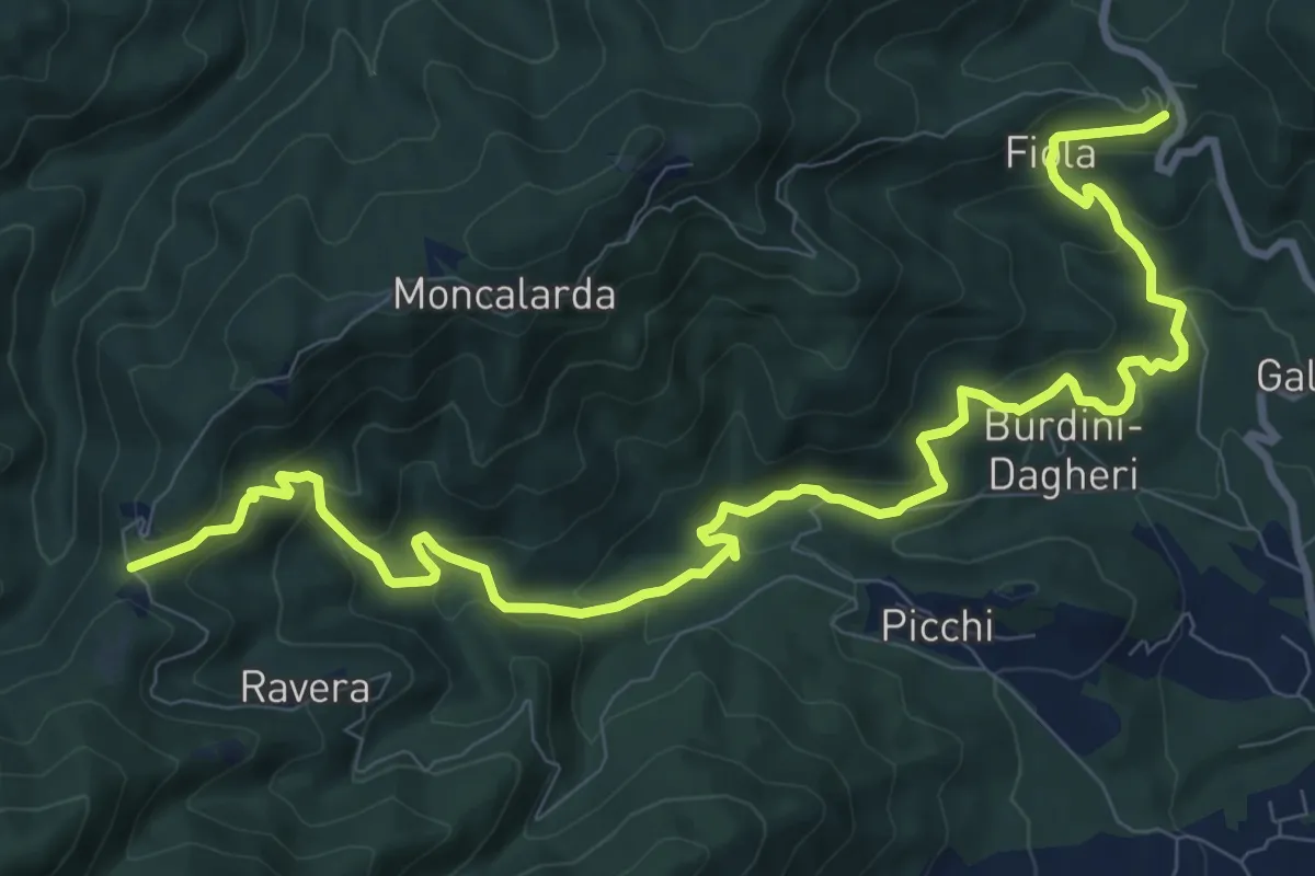
Medium · Trail
Colletta di Cumiana, bivio TOS009-TOS45 – Bastianoni, bivio TOS005-TOS009
12.9 km · ↑ 704 m · 4 h 34 min · 12 km away
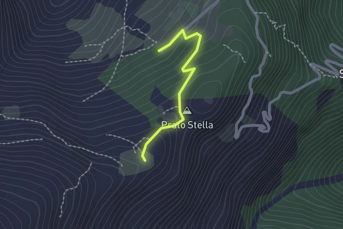
Easy · Summit
Angrogna, loc. Prato Stella, bivio TOS140-TOS140A – Torre Pellice, Sea di Torre, bivio TOS135-TOS140A
1.5 km · ↑ 93 m · 34 min · 12 km away
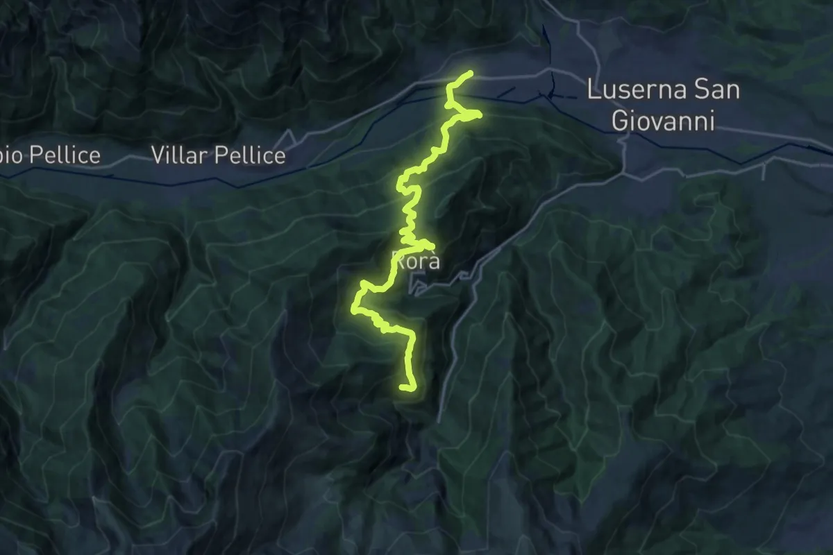
Demanding · Trail
Sentieri della Resistenza - Tappa 14
10.8 km · ↑ 953 m · 4 h 30 min · 12 km away
Medium · Trail
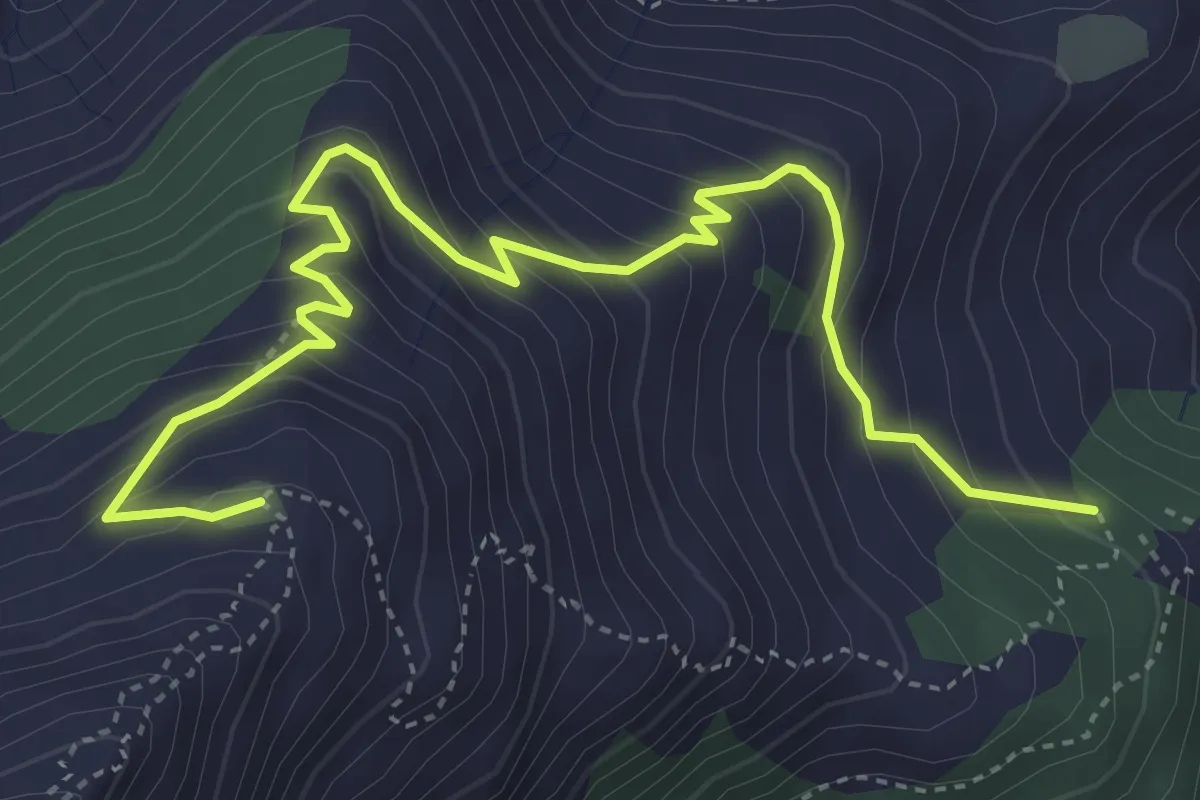
Torre Pellice, Sea di Torre, bivio TOS135-TOS135A – Torre Pellice, Alpe Vandalino
5.4 km · ↑ 481 m · 2 h 19 min · 12 km away
Easy · Trail
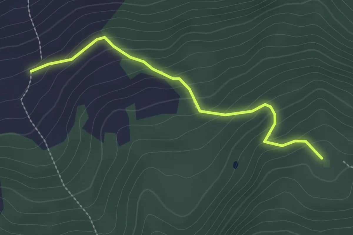
Pramollo, strada sterrata da Pianetto – Costa Laz Ara', bivio TOS306-TOS306A
2.5 km · ↑ 170 m · 58 min · 12 km away
Demanding · Cabin
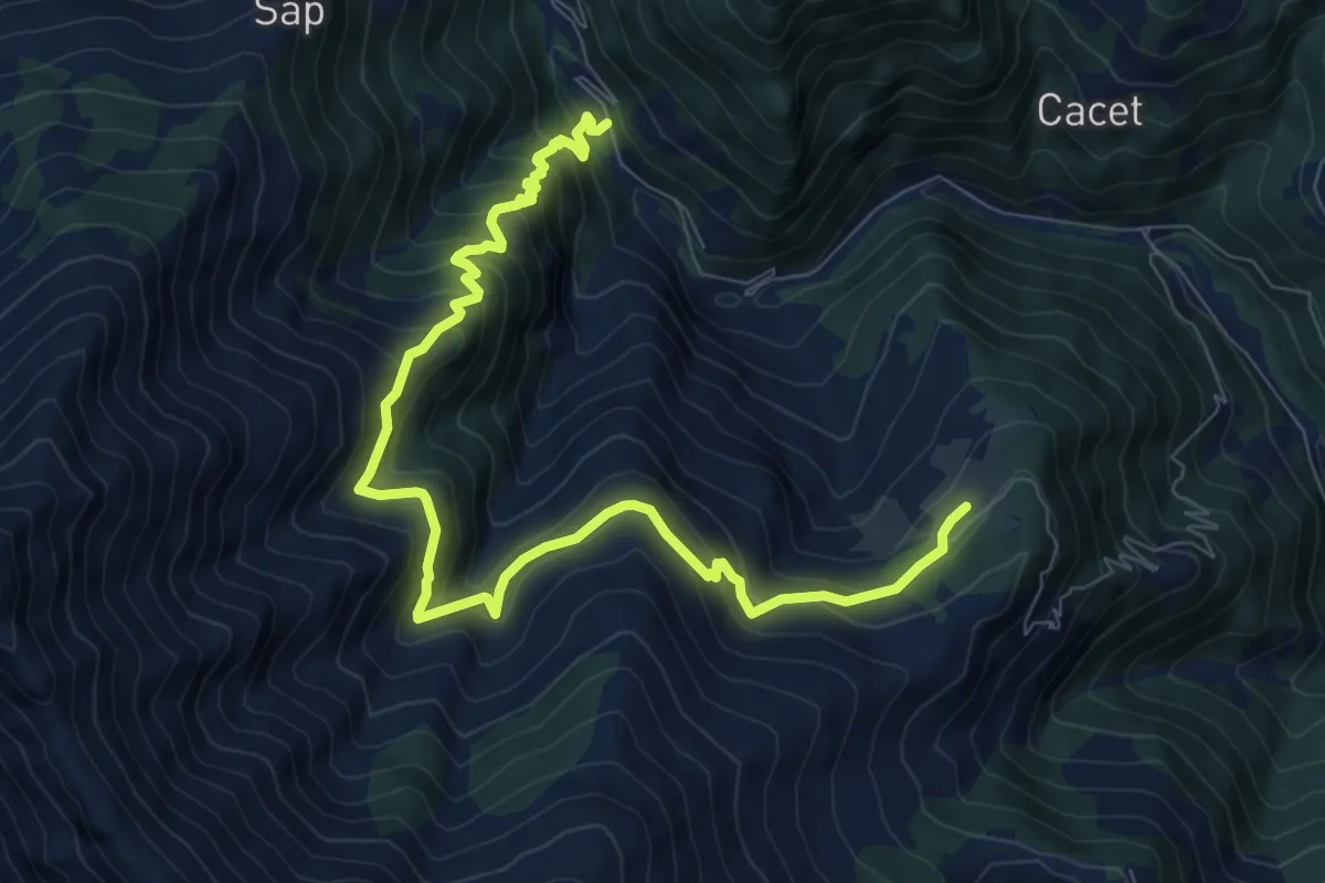
Presso Eissart – Località Prato Stella, Riugio Berfè
10.3 km · ↑ 938 m · 4 h 28 min · 12 km away
Demanding · Summit
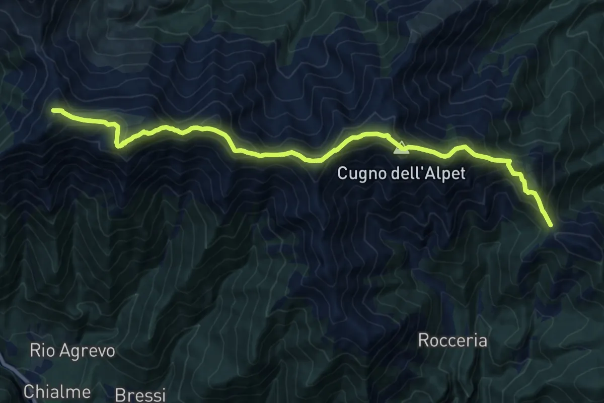
Colle del Besso, bivio TOS408-TOS412 – Colle La Roussa, bivio TOS414-TOS412
18.1 km · ↑ 1495 m · 7 h 30 min · 13 km away
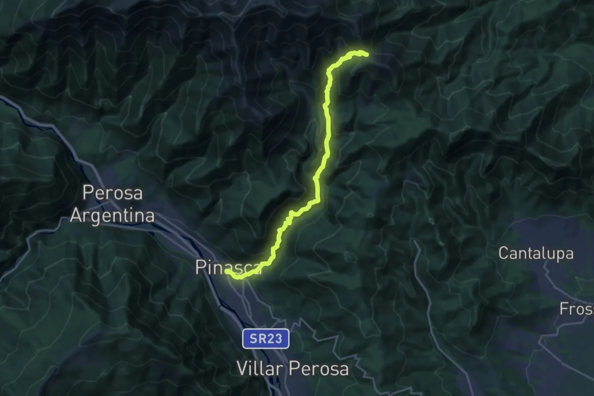
Demanding · Trail
Dubbione – Biovio 347-408-412, Colle del Besso
17.9 km · ↑ 1261 m · 6 h 57 min · 13 km away
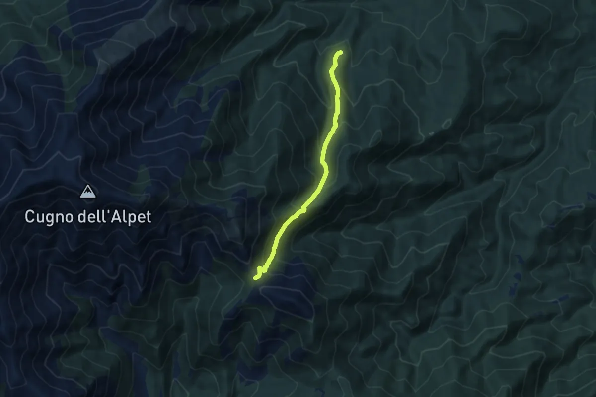
Medium · Trail
Giaveno, Prese Damon – Colle del Besso, bivio TOS408-TOS412-TOS450
7.1 km · ↑ 541 m · 2 h 51 min · 13 km away
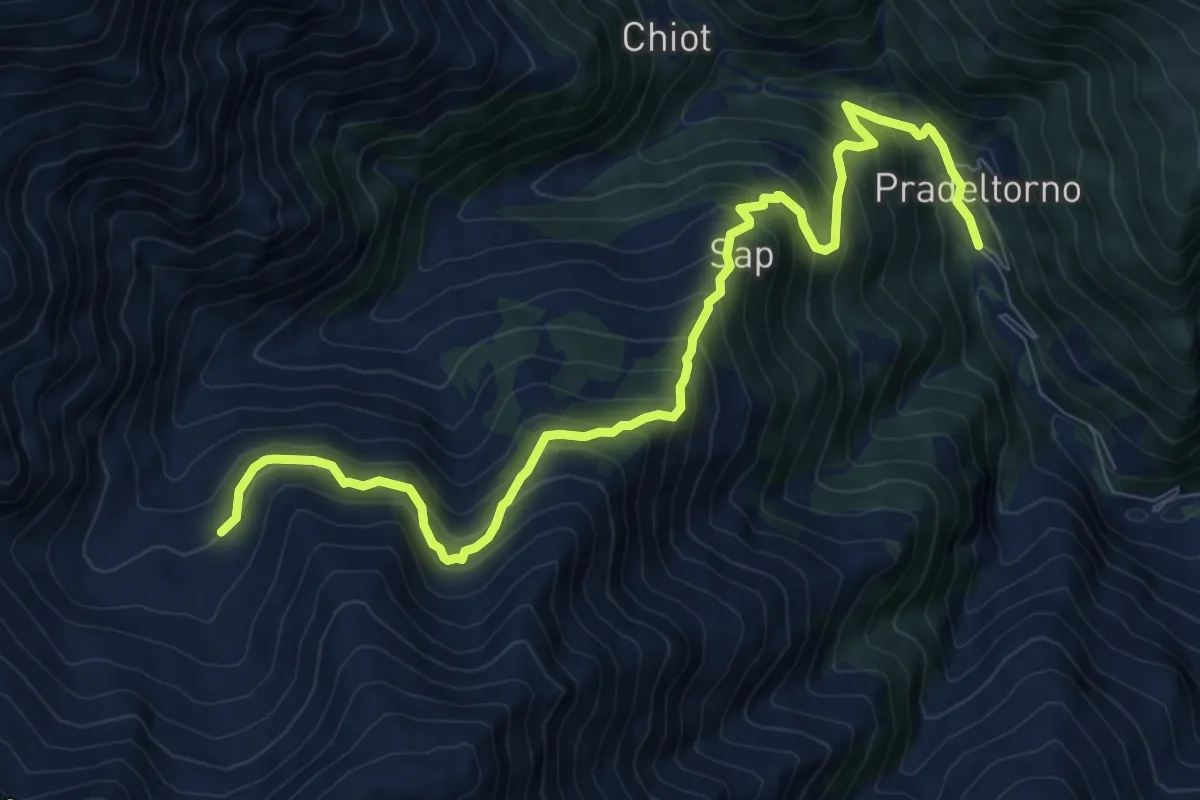
Expert · Trail
Angrogna, Prà del Torno – Angrogna, bivio TOS138-TOS139
10.1 km · ↑ 976 m · 4 h 30 min · 13 km away
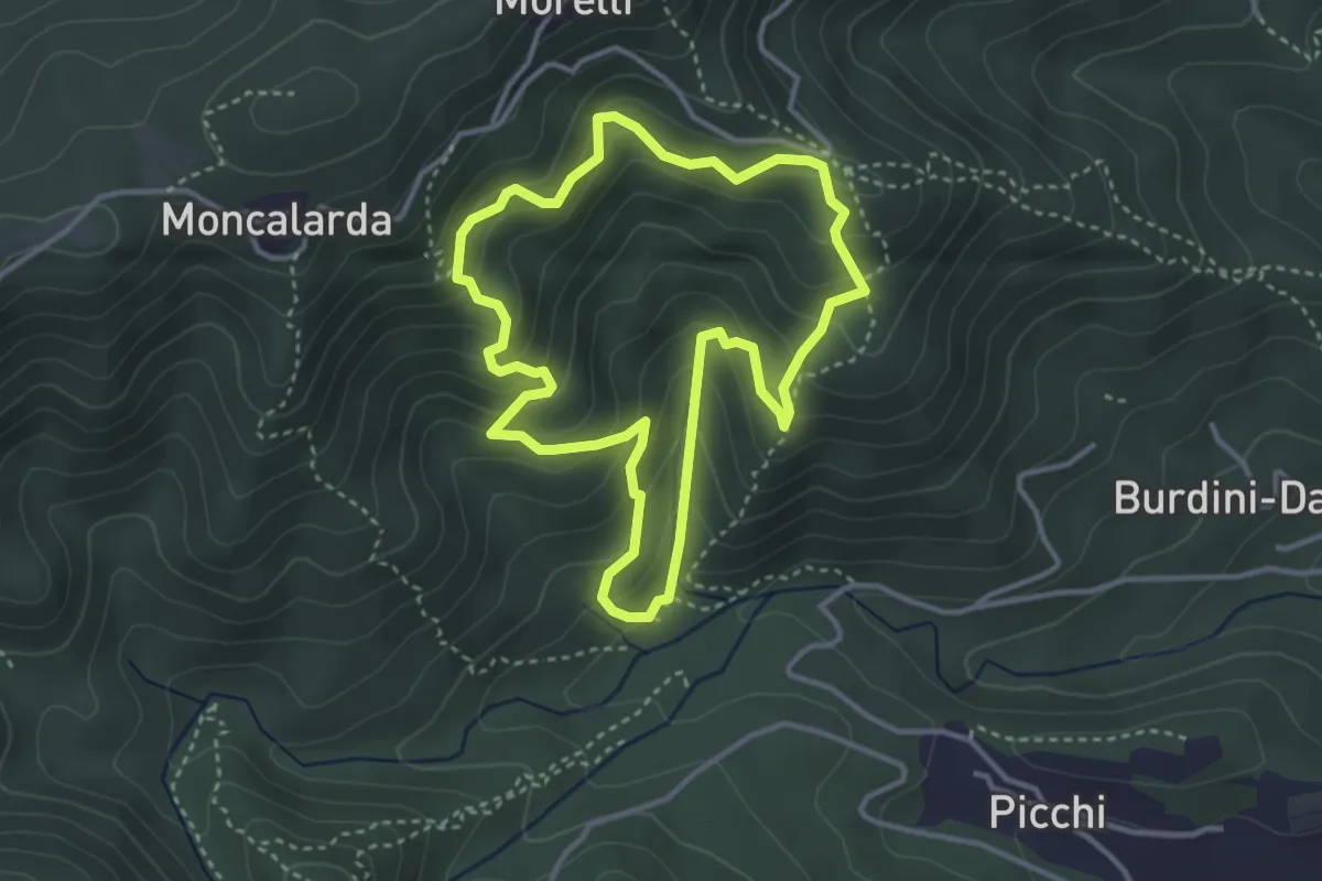
Medium · Trail
Anello Pietre Bianche
3.5 km · ↑ 291 m · 1 h 30 min · 13 km away
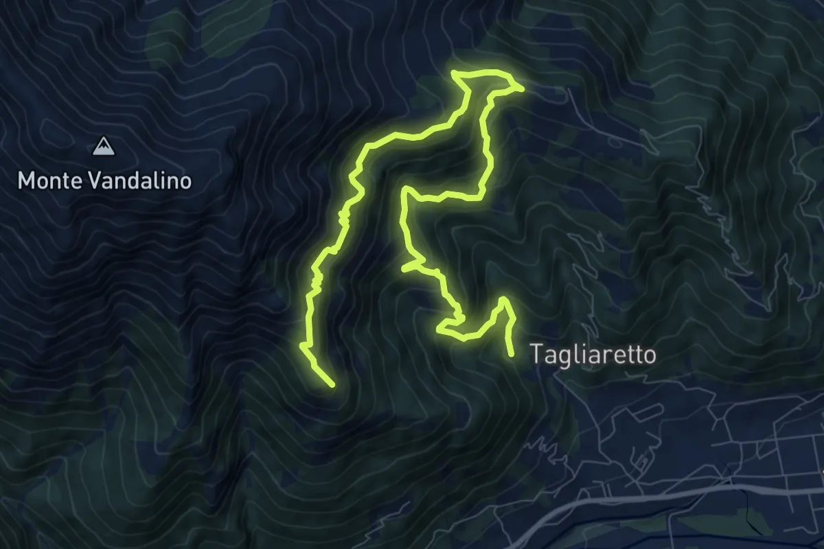
Demanding · Summit
Torre Pellice, presso Bun Pian, bivio TOS132-TOS135 – Torre Pellice, Castellus, bivio TOS132-TOS135
13.3 km · ↑ 1178 m · 5 h 42 min · 13 km away
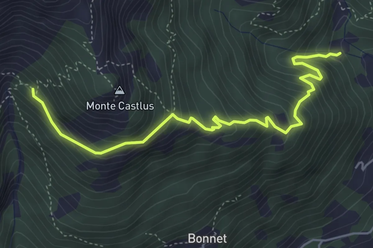
Demanding · Trail
Torre Pellice, presso Bun Pian, bivio TOS132-TOS135 – Biivio TOS132-TOS133
5.1 km · ↑ 552 m · 2 h 24 min · 13 km away
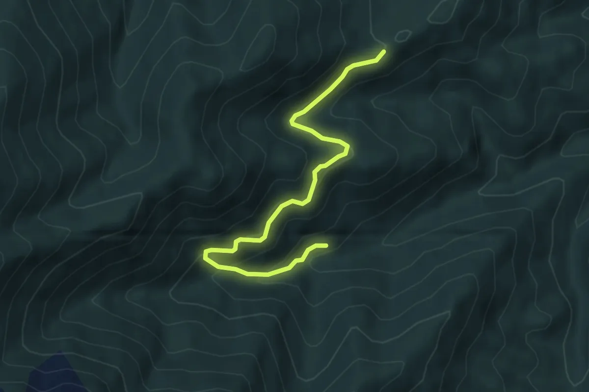
Medium · Trail
Giaveno, Case Merlera – Prese della Franza sopra, bivio TOS406-TOS407
5.4 km · ↑ 345 m · 2 h 1 min · 13 km away
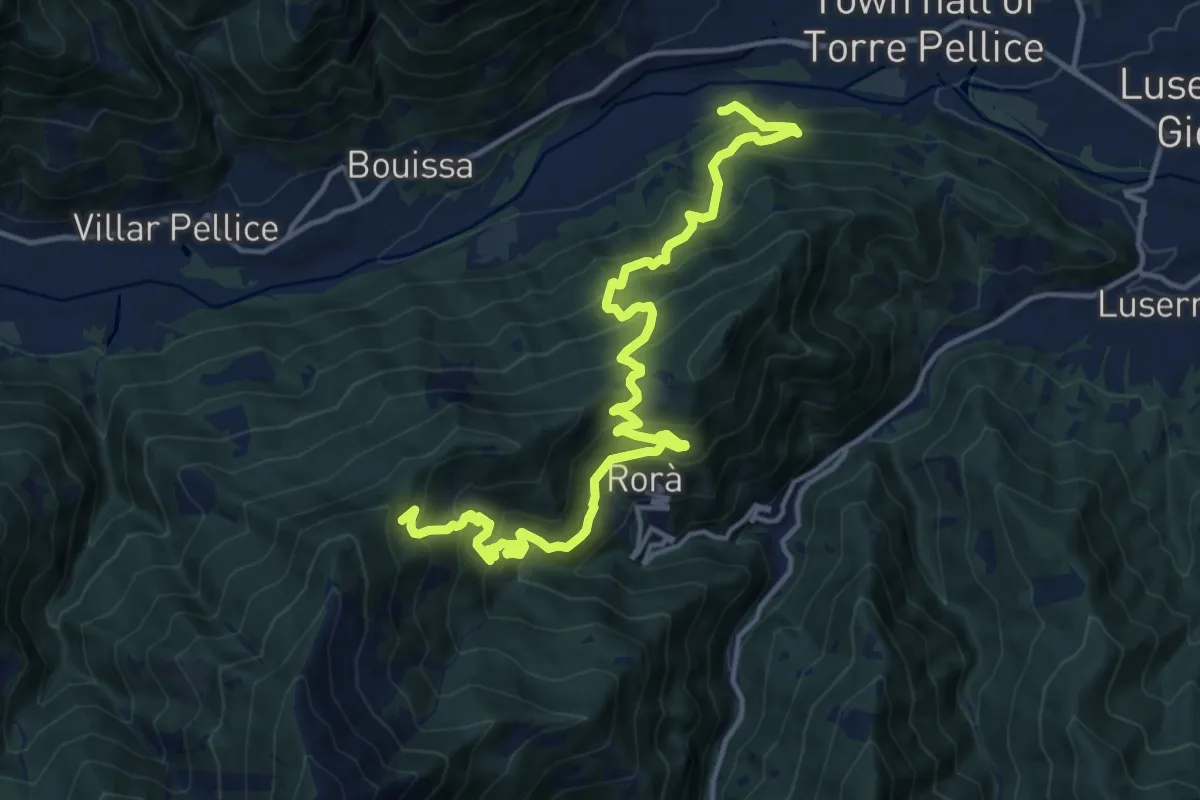
Demanding · Trail
Torre Pellice, località La Rocchetta presso ponte sul Torrente Pellice – Rorà, località Regardour, bivio TOS105-TOS106
18.0 km · ↑ 1492 m · 7 h 29 min · 13 km away
Demanding · Trail
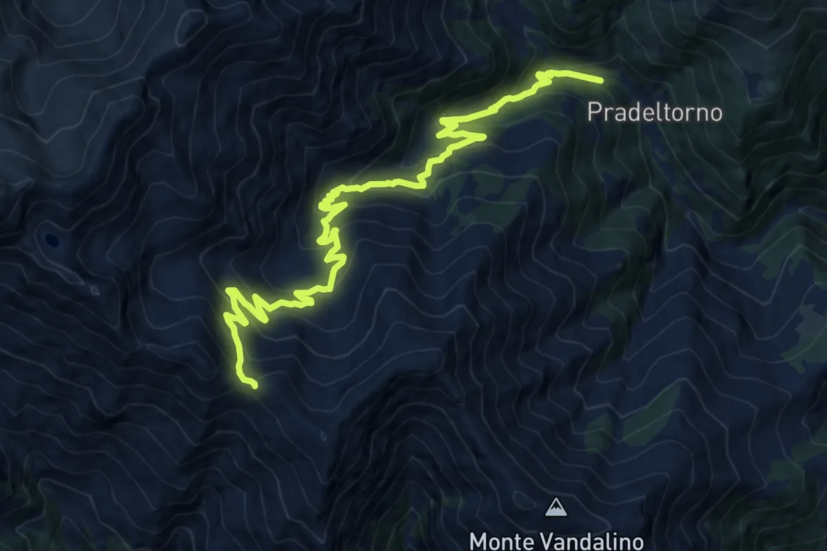
Angrogna, bivio TOS138-TOS139 presso Torrente Angrogna – Angrogna, Colle Chiot del Cavallo, bivio TOS139-TOS129
17.4 km · ↑ 1261 m · 6 h 50 min · 13 km away
Demanding · Trail
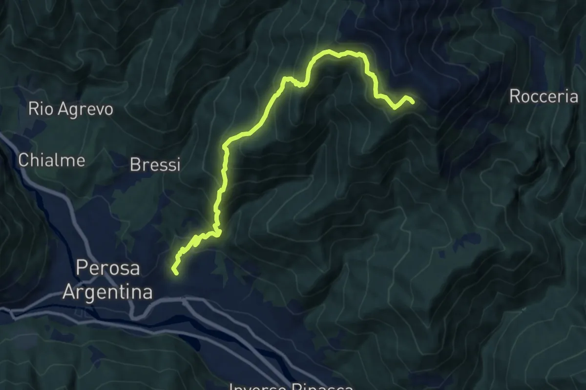
Combe (biv. 301) – F.na Cucetto (biv. 346)
11.7 km · ↑ 1165 m · 5 h 17 min · 13 km away
Medium · Trail
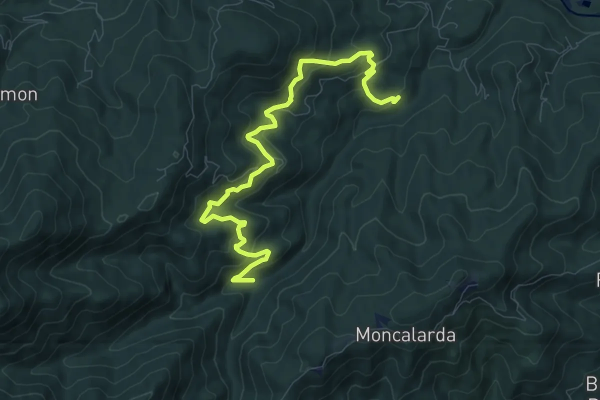
Bivio TOS452-TOS452A presso Borgata Gentina – Case Galletto, bivio TOS450-TOS452-TOS452A
10.1 km · ↑ 661 m · 3 h 49 min · 13 km away
Easy · Trail
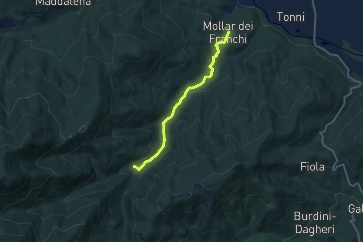
Giaveno, Mollar dei Franchi – Case Galletto, bivio TOS450-TOS452-TOS452A
6.4 km · ↑ 164 m · 1 h 52 min · 13 km away
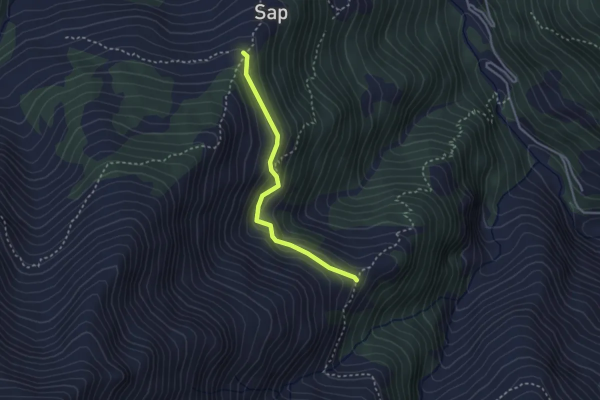
Easy · Cabin
Angrogna, Rifugio Ai Sap, bivio TOS138-TOS138A-TOS139B – Angrogna, Embergeria, Bivio TOS138A-TOS140
2.7 km · ↑ 164 m · 59 min · 13 km away
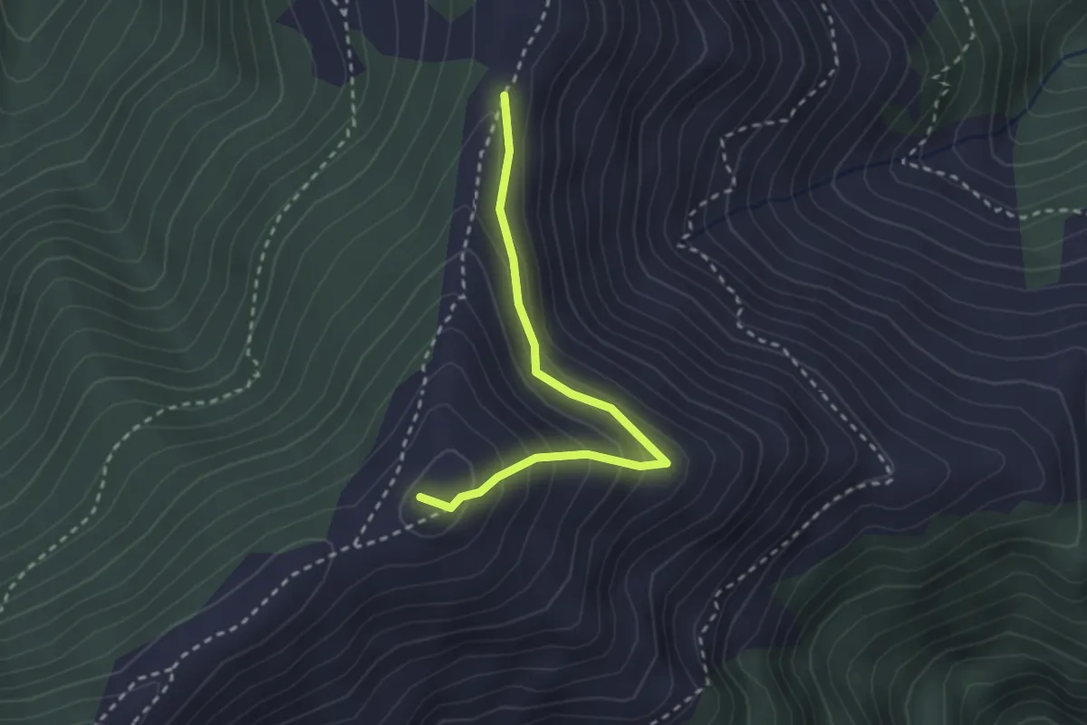
Medium · Summit
Pramollo, bivio TOS305-TOS305A – Pramollo, loc. Clot, bivio TOS305-TOS305A
2.6 km · ↑ 197 m · 1 h 3 min · 13 km away
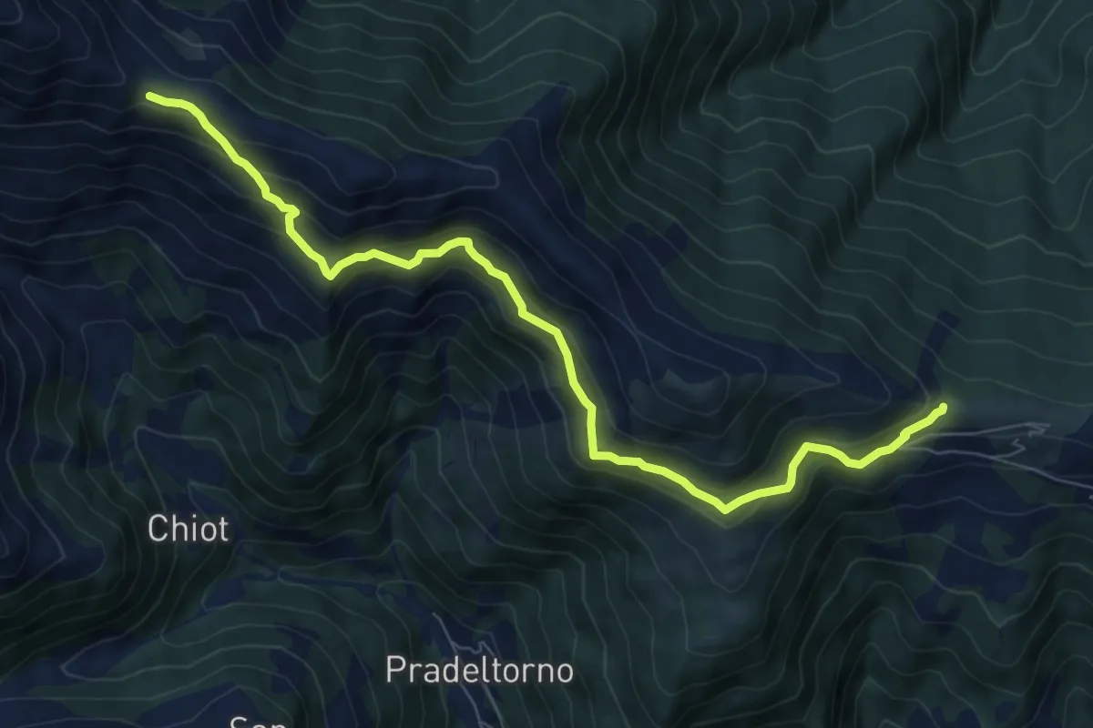
Medium · Trail
Colle Vaccera, TOS150-TOS150A – Colle Souiran, bivio TOS150-TOS150A
8.6 km · ↑ 614 m · 3 h 22 min · 14 km away
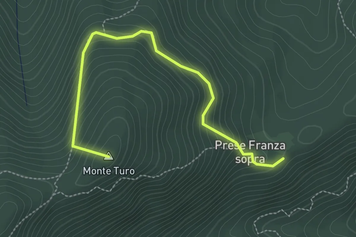
Medium · Summit
Prese della Franza sopra – Bivio TOS408-TOS409
3.1 km · ↑ 271 m · 1 h 20 min · 14 km away
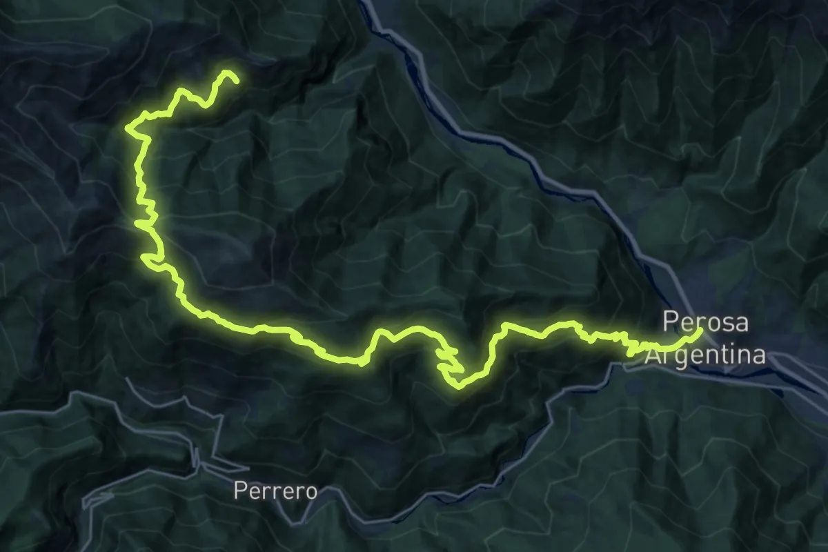
Demanding · Cabin
Sentieri della Resistenza - Tappa 10
17.9 km · ↑ 1822 m · 8 h · 14 km away
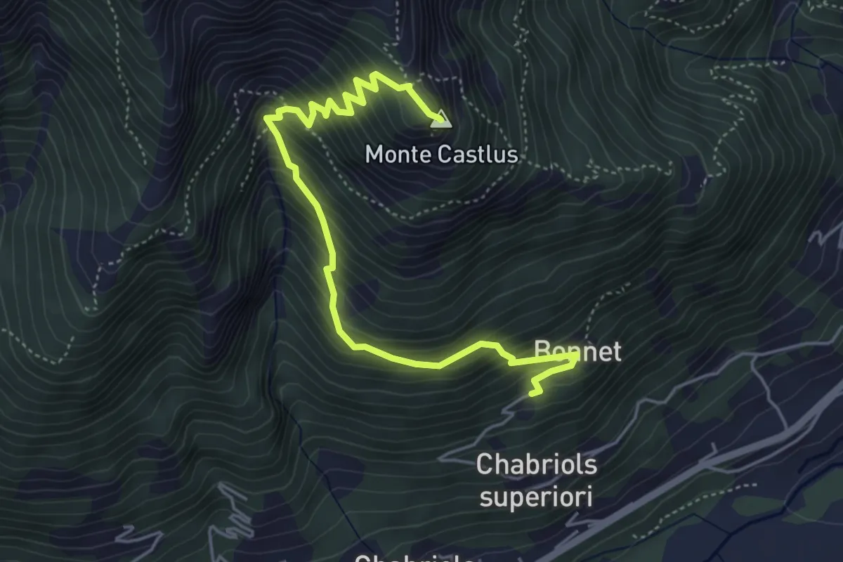
Medium · Summit
Torre Pellice, frazione Bonnet – Cima Castlus
5.5 km · ↑ 579 m · 2 h 32 min · 14 km away
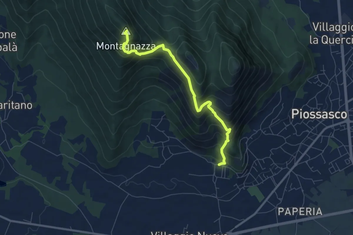
Medium · Summit
Bivio TOP306-TOP308, località Martignone – Bivio TOP307-TOS450 presso Colletto di Damone
7.0 km · ↑ 576 m · 2 h 55 min · 14 km away
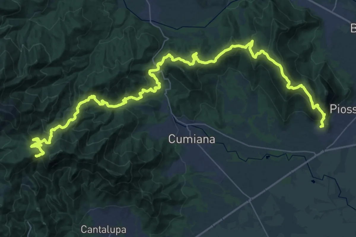
Demanding · Summit
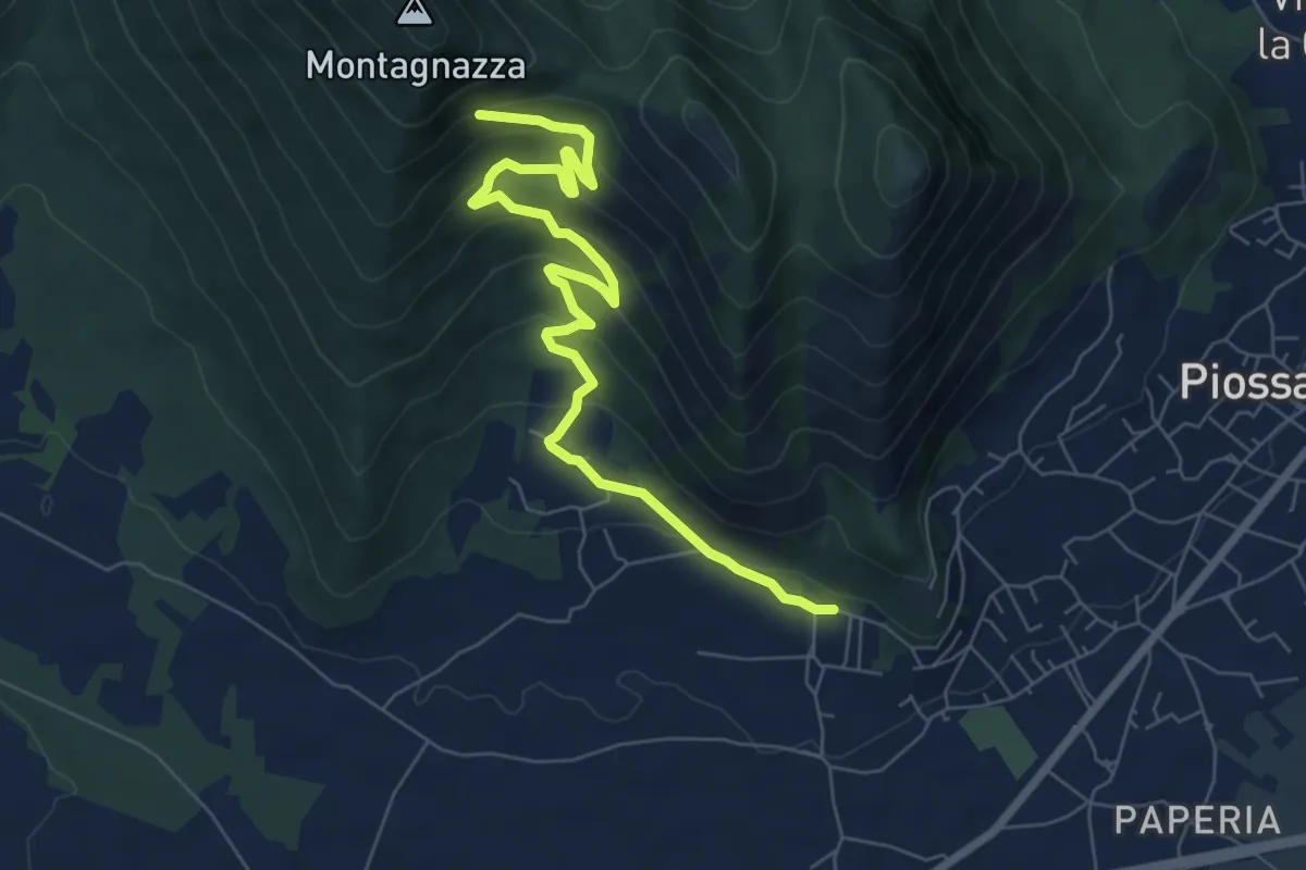
Sentiero David Bertrand
48.3 km · ↑ 2704 m · 17 h 15 min · 14 km away
Medium · Trail
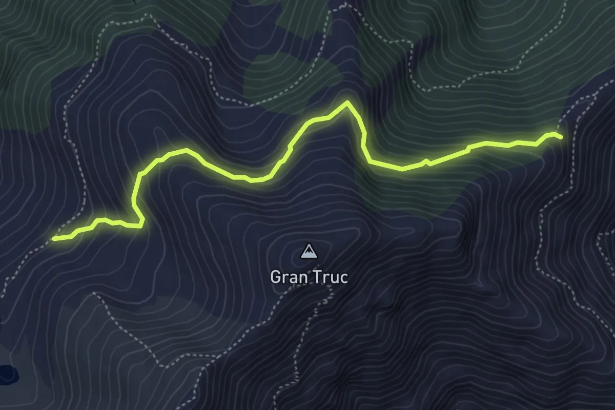
Casa Martignona, bivio TOP307-TOP308 – Colle di Prè, bivio TOP307-TOP308
8.2 km · ↑ 396 m · 2 h 47 min · 14 km away
Medium · Trail
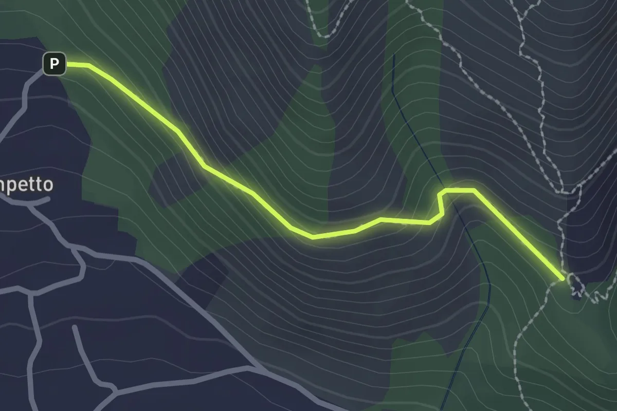
Perrero, Alpe Lauson, bivio strada sa Pramollo, bivio TOS203-TOS203A – Presso Piano Friera, bivio TOS203A-TOS305
5.5 km · ↑ 422 m · 2 h 13 min · 14 km away
Easy · Trail
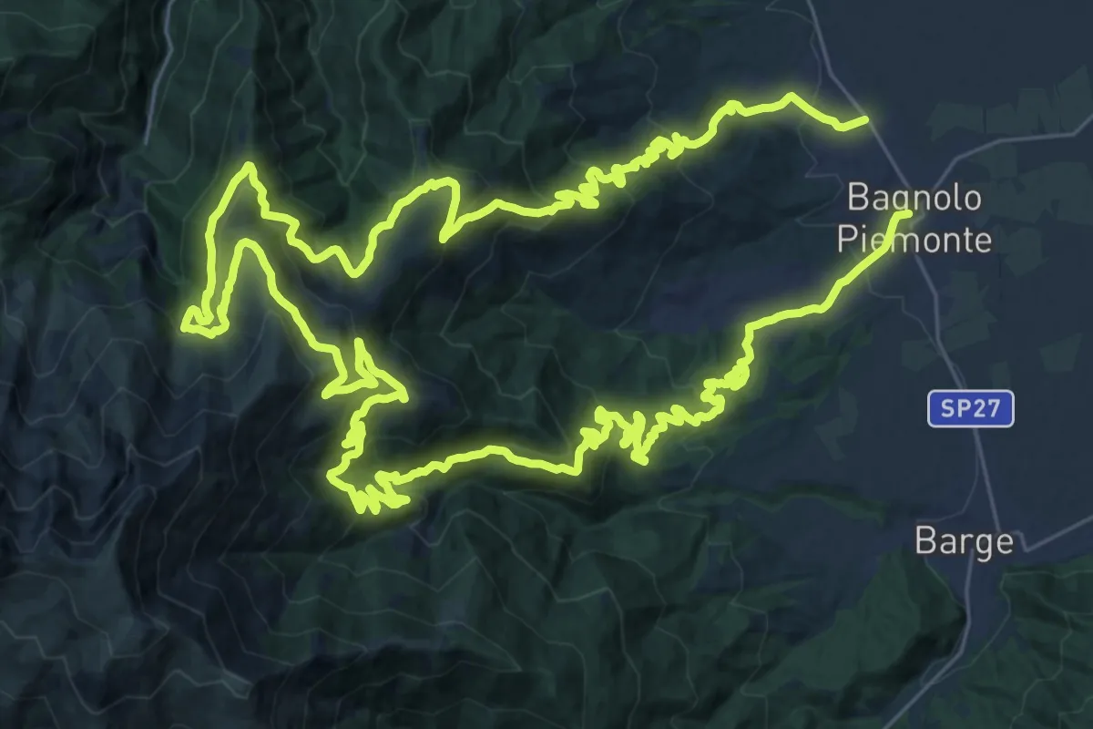
Bivio TOP308-TOP307A presso Campetto – Bivio TOP307A-TOP307
2.2 km · ↑ 148 m · 51 min · 14 km away
Demanding · Trail
Bagnolo Piemonte, Centro Paese – Bagnolo Piemonte, Borgata Villaretto
37.1 km · ↑ 1729 m · 13 h 2 min · 14 km away
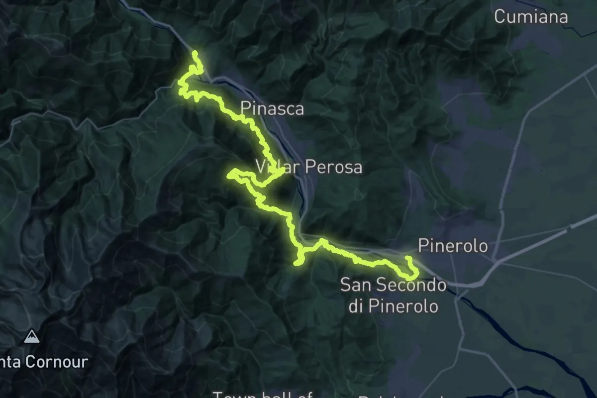
Demanding · Trail
Pinerolo, Località Madonnina – Perosa Argentina, bivio TOS300-TOS301
32.8 km · ↑ 1912 m · 12 h 29 min · 14 km away
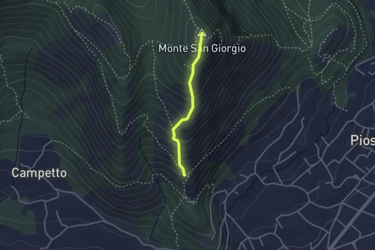
Medium · Summit
Piazza San Vito – Monte San Giorgio, bivio TOP304-TOP306
2.1 km · ↑ 314 m · 1 h 11 min · 14 km away
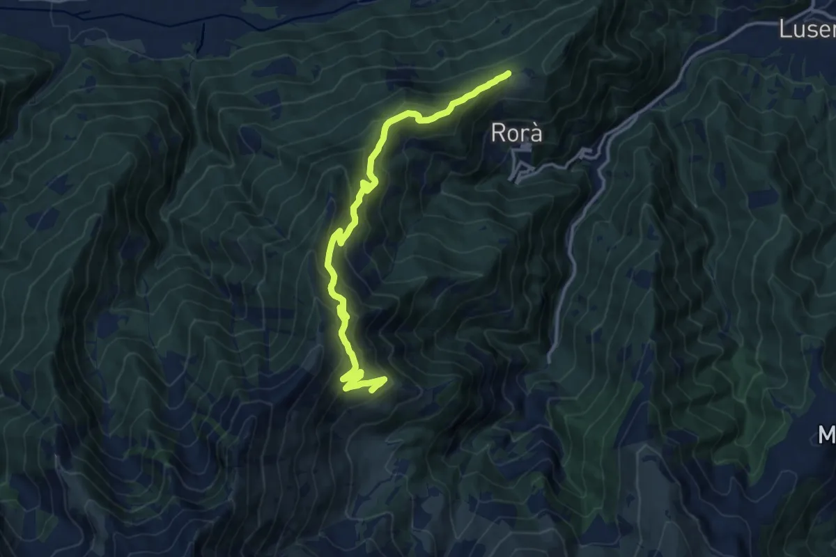
Demanding · Trail
Rorà, Borgata Saresin, bivio TOS105-TOS106 – Rorà, Alpeggio La Palà
14.2 km · ↑ 864 m · 5 h 13 min · 14 km away
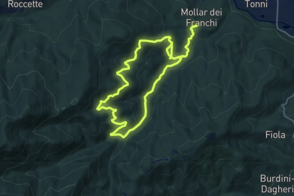
Medium · Trail
Sentiero Augusto monti
9.1 km · ↑ 477 m · 3 h 17 min · 14 km away
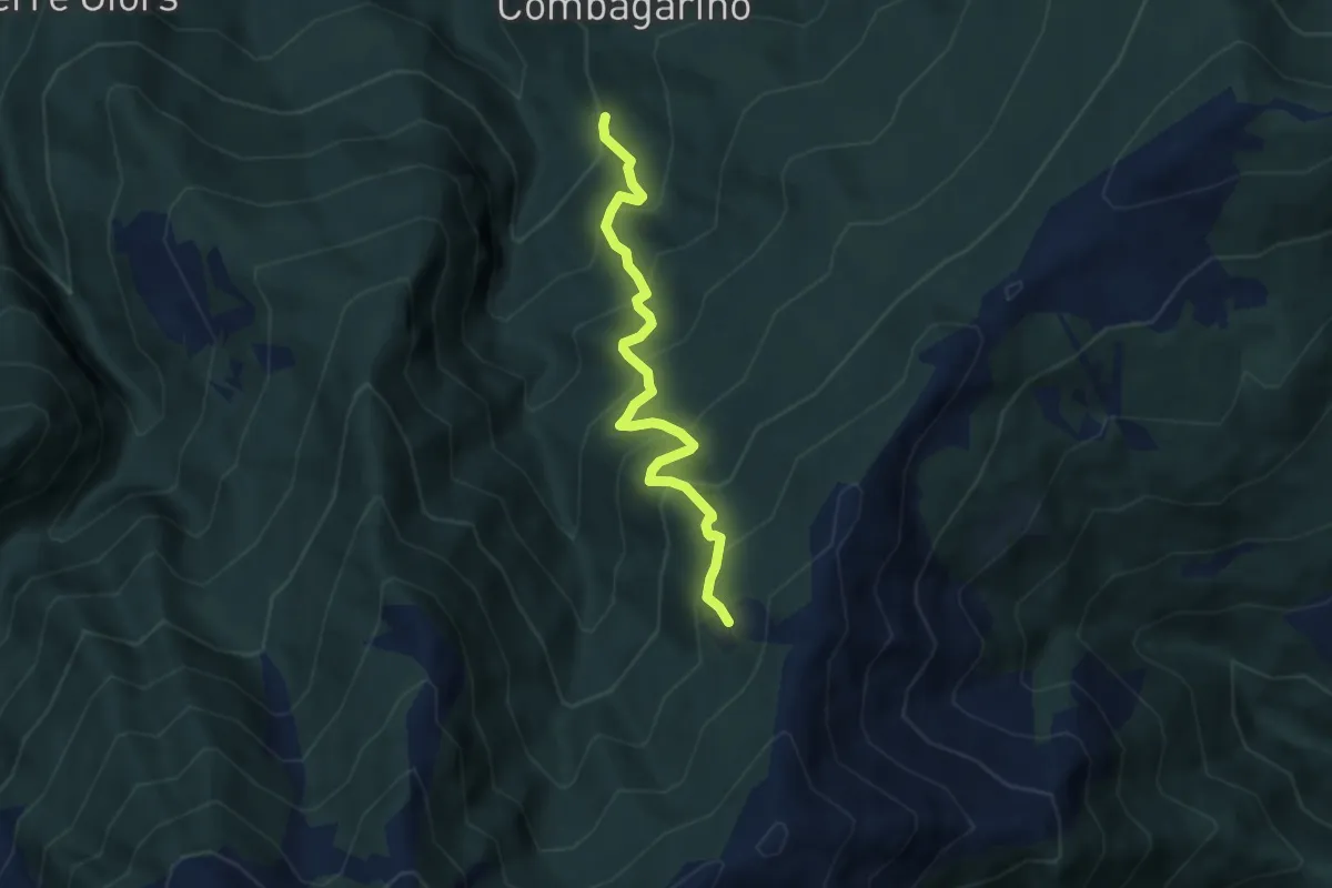
Medium · Trail
Perrero, Fraz. Trussan, bivio TOS233-TOS239 – Perrero, Costa Lazzara', bivio TOS239-TOS306
6.3 km · ↑ 648 m · 2 h 53 min · 15 km away
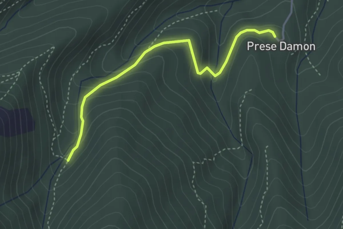
Easy · Trail
Giaveno, Prese Damon, Bivio TOS408 – Bivio TOS408A-TOS409
3.5 km · ↑ 216 m · 1 h 17 min · 15 km away