Trails near Pisa
65 hikes starting within 15 km, nearest first.
Nearest first, page 1 of 2
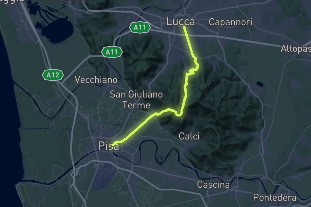
Demanding · Trail
Via degli Acquedotti
22.3 km · ↑ 787 m · 7 h 17 min · 1 km away
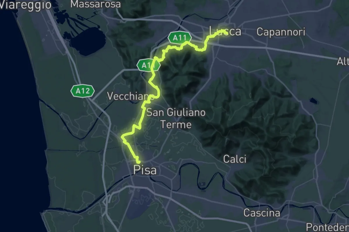
Demanding · Trail
Il Cammino di San Jacopo - Tappa 5
28.4 km · ↑ 275 m · 7 h 41 min · 1 km away
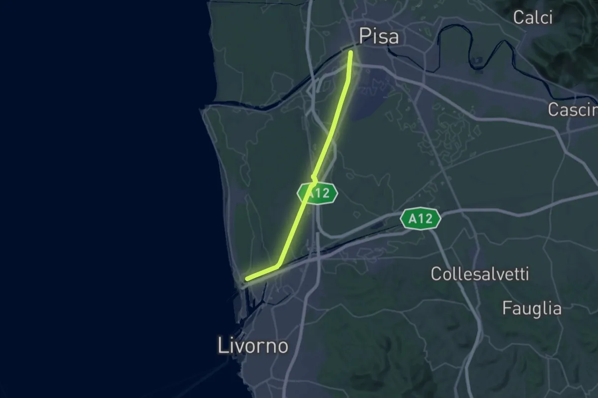
Demanding · Trail
Sentiero dei Navicelli
31.3 km · ↑ 56 m · 7 h 31 min · 2 km away
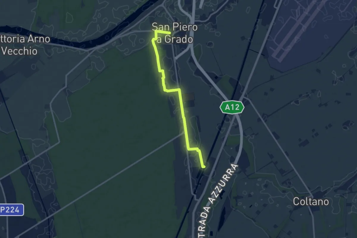
Medium · Trail
San Piero a Grado – Navicelli
10.0 km · ↑ 8 m · 2 h 23 min · 6 km away
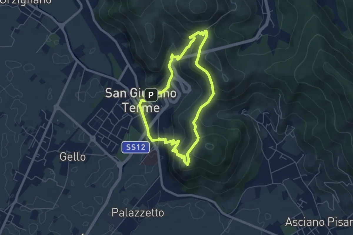
Medium · Trail
Anello di San Giuliano Terme
4.9 km · ↑ 305 m · 1 h 54 min · 6 km away
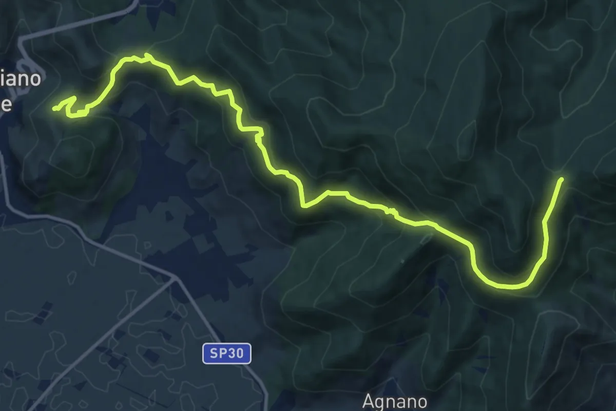
Demanding · Trail
Castellare – Campo di Croce
15.1 km · ↑ 872 m · 5 h 27 min · 6 km away
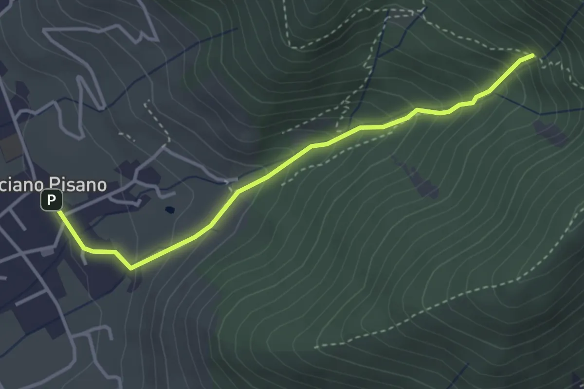
Medium · Trail
Valle delle Fonti
3.5 km · ↑ 316 m · 1 h 31 min · 7 km away
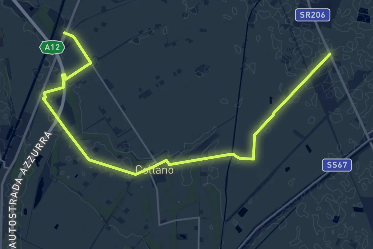
Demanding · Trail
Sentiero Mediceo
21.0 km · ↑ 34 m · 5 h 1 min · 7 km away
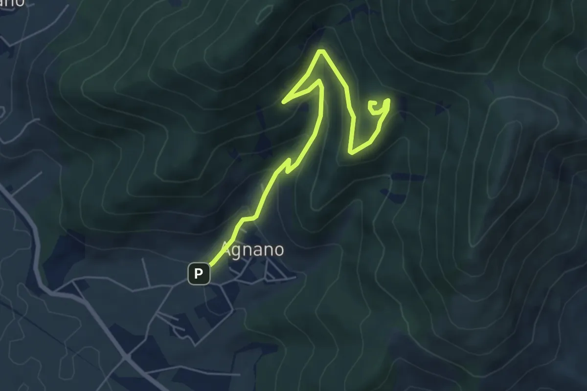
Medium · Summit
Agnano – Foce di Calci
6.4 km · ↑ 388 m · 2 h 21 min · 7 km away
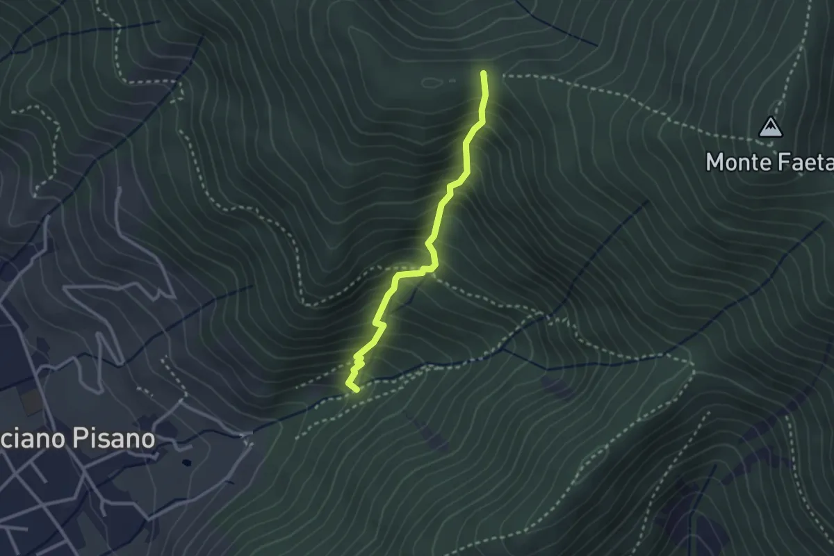
Medium · Trail
Asciano – Passo della Conserva
2.6 km · ↑ 403 m · 1 h 29 min · 7 km away
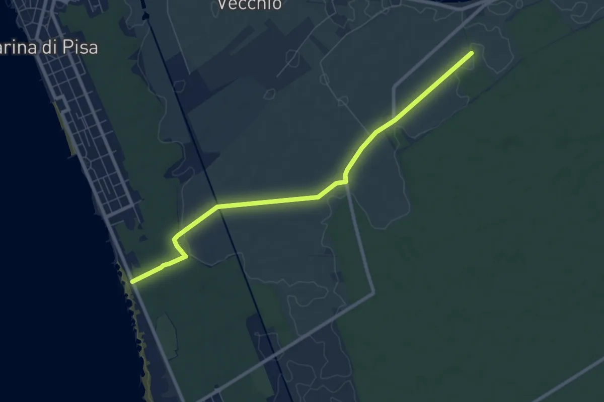
Easy · Trail
Sentiero della Colmata
7.9 km · ↑ 29 m · 1 h 56 min · 8 km away
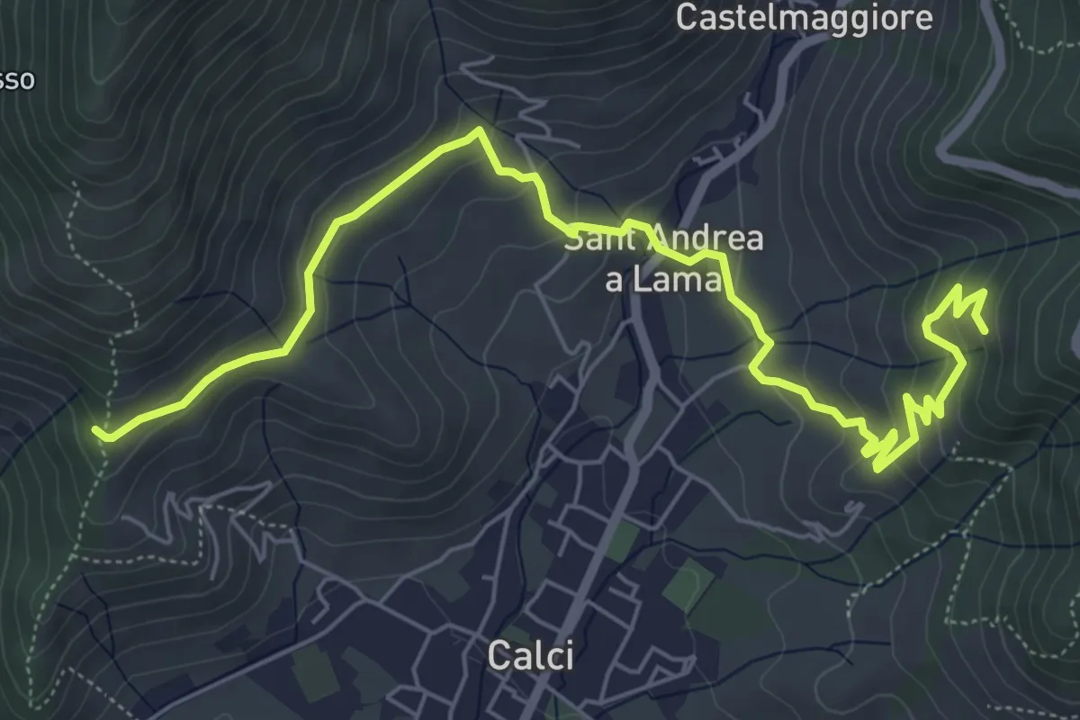
Medium · Trail
San Bernardo – Via di Pari
7.9 km · ↑ 417 m · 2 h 46 min · 8 km away
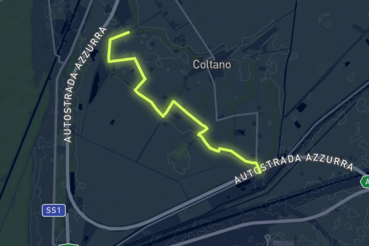
Medium · Trail
Sentiero della Bonifica
12.2 km · ↑ 34 m · 2 h 57 min · 8 km away
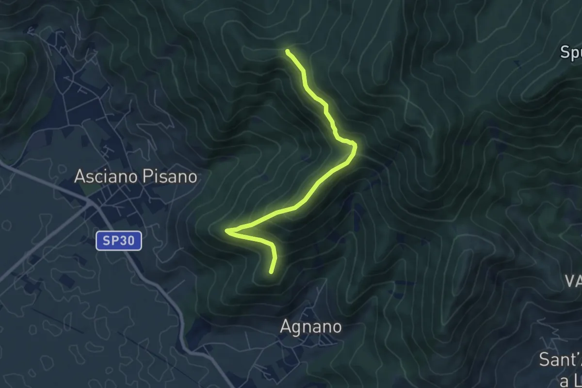
Medium · Summit
Polla – Passo della Conserva
6.5 km · ↑ 372 m · 2 h 21 min · 8 km away
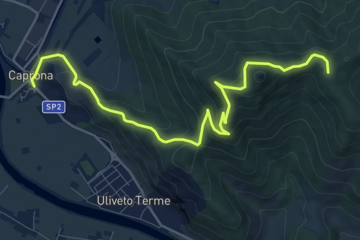
Medium · Summit
Caprona – San Bernardo
11.2 km · ↑ 580 m · 3 h 54 min · 8 km away
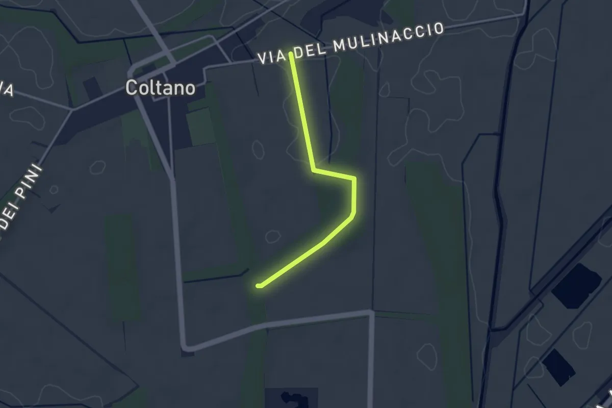
Easy · Trail
Raccordo via Molinaccio – Raccordo 025
2.8 km · ↑ 9 m · 41 min · 8 km away
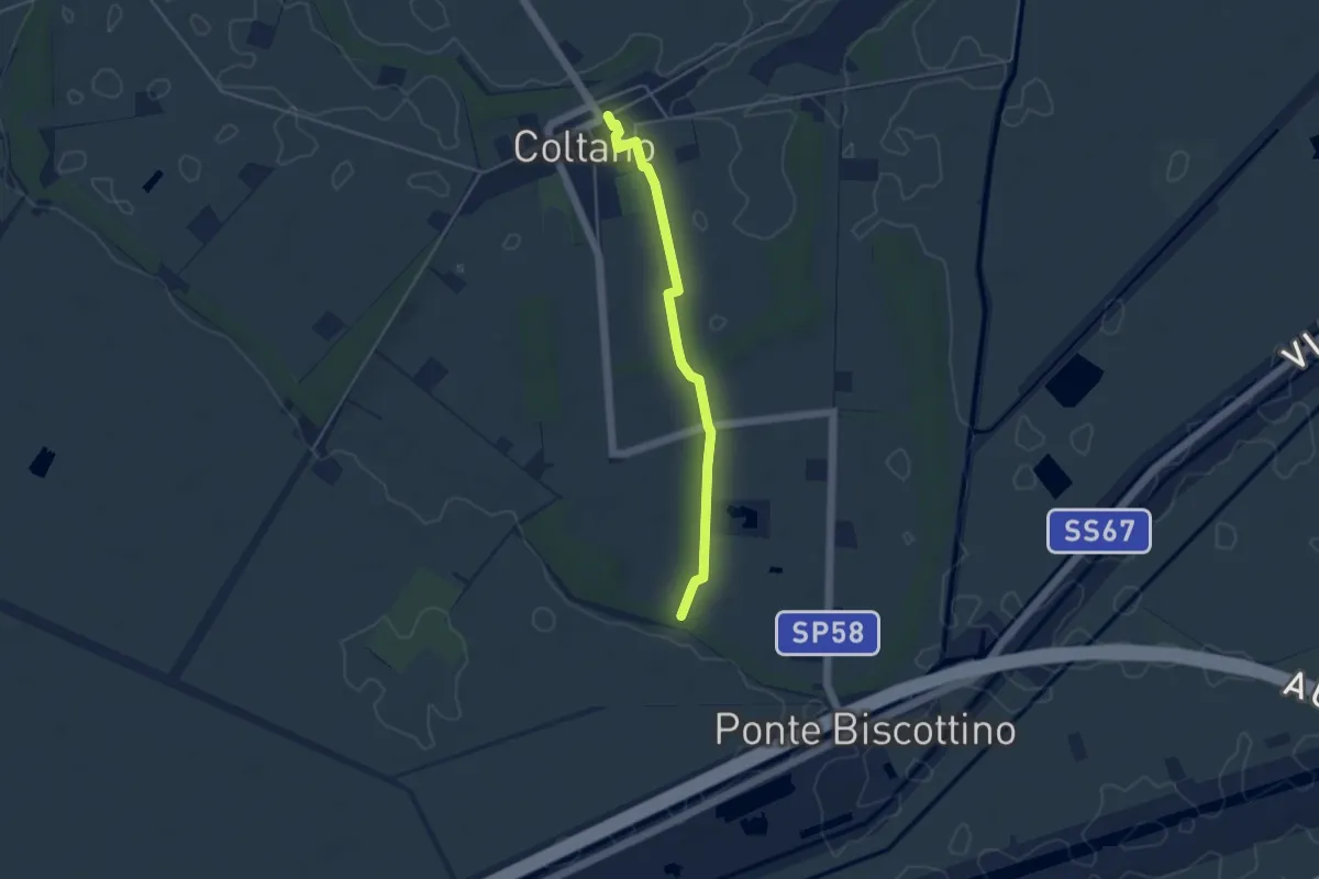
Easy · Trail
Villa Medicea – Fasce Boscate
4.3 km · ↑ 9 m · 1 h 2 min · 8 km away
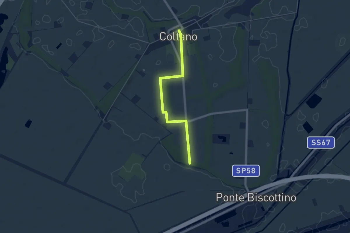
Easy · Trail
Sentiero della Sementina
4.8 km · ↑ 4 m · 1 h 9 min · 9 km away
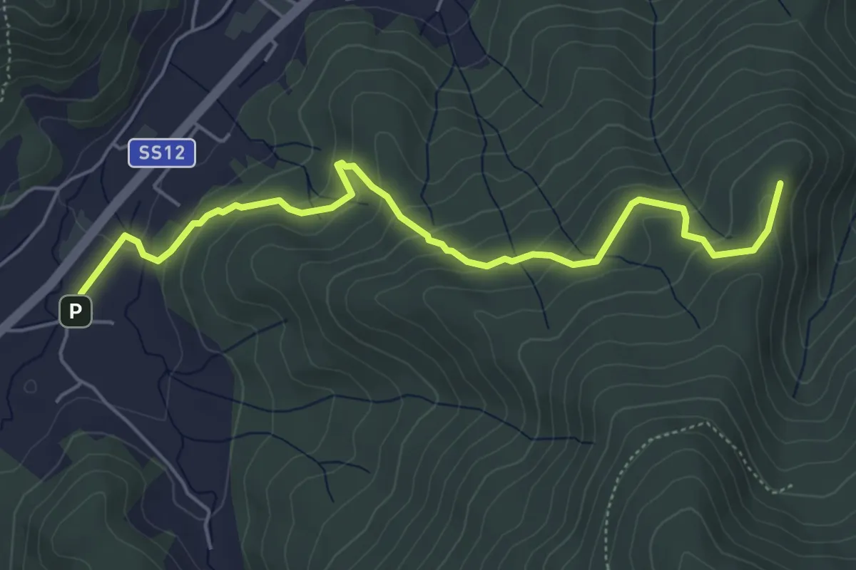
Easy · Summit
Pieve di San Giovanni Battista a Santa Maria del Giudice – Strada Forestale da Coselli
5.9 km · ↑ 300 m · 2 h 3 min · 9 km away
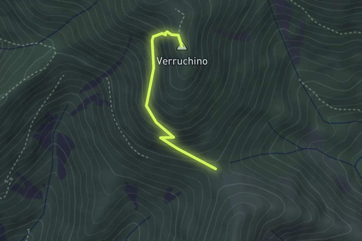
Easy · Summit
Foce di Calci – Verruchino (innesto 00)
2.6 km · ↑ 245 m · 1 h 8 min · 9 km away
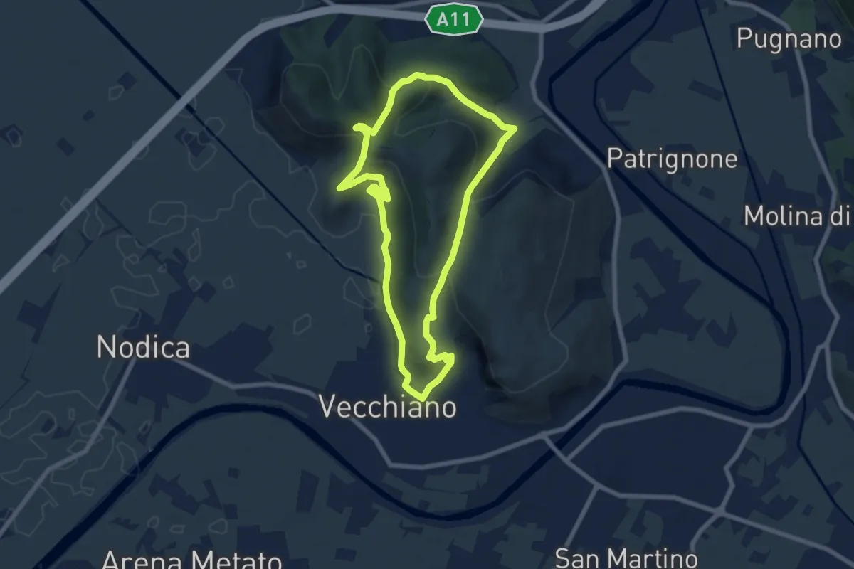
Medium · Summit
Anello di Vecchiano
6.6 km · ↑ 256 m · 2 h 12 min · 9 km away
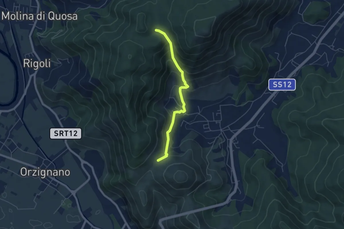
Medium · Trail
Passo Croce – Fondacci
5.1 km · ↑ 342 m · 1 h 57 min · 9 km away
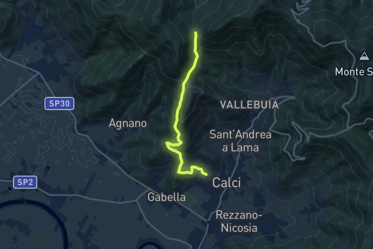
Medium · Trail
Calci – Campo di Croce
9.3 km · ↑ 625 m · 3 h 32 min · 10 km away
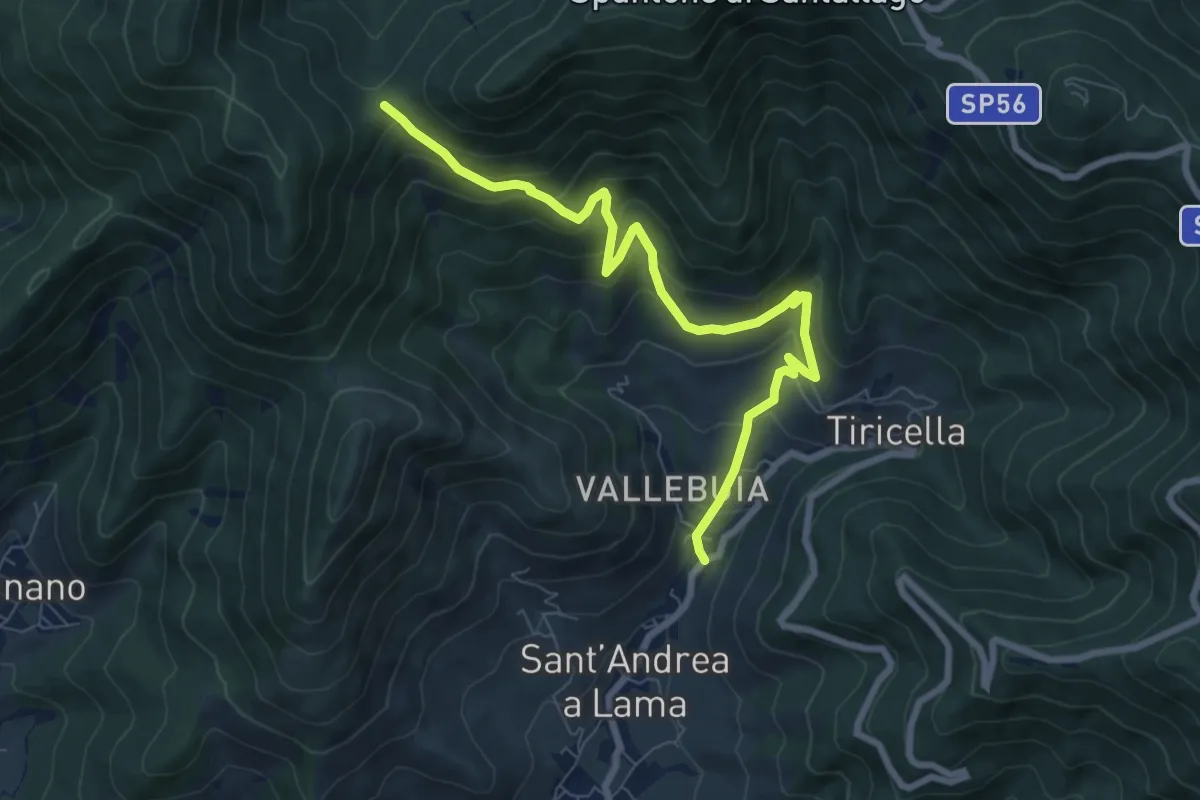
Medium · Trail
Castelmaggiore – Campo di Croce
8.7 km · ↑ 536 m · 3 h 13 min · 10 km away
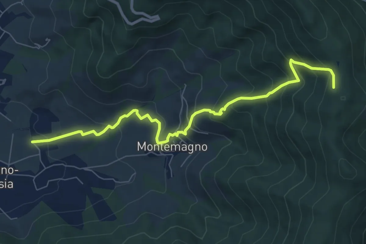
Medium · Trail
Certosa di Calci – Prato a Giovo
7.8 km · ↑ 581 m · 3 h 5 min · 10 km away
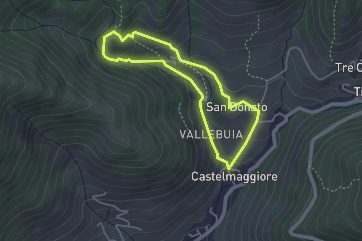
Easy · Trail
Percorso delle Acque
2.8 km · ↑ 146 m · 1 h 1 min · 10 km away
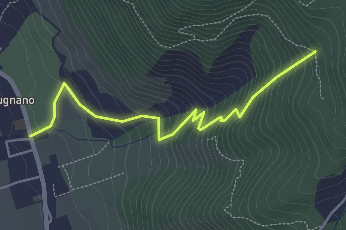
Easy · Trail
Pugnano – Lecciaia
3.4 km · ↑ 302 m · 1 h 27 min · 10 km away
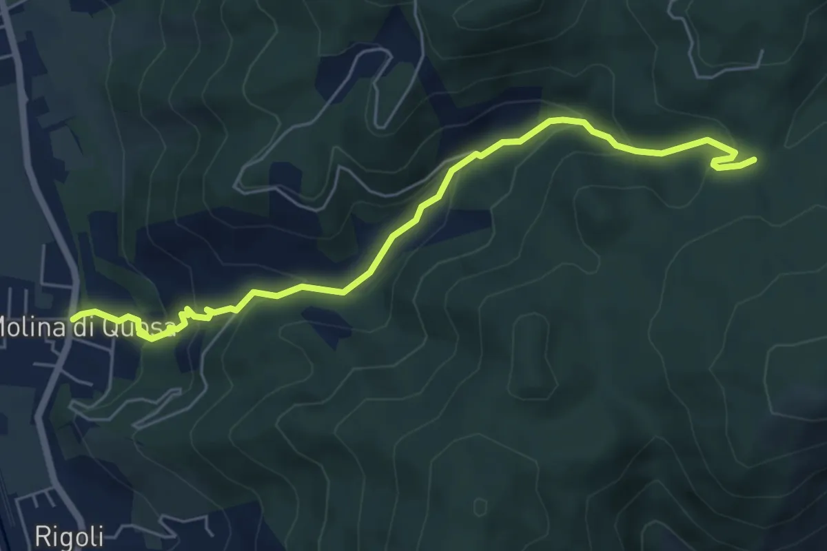
Medium · Trail
Molina di Quosa – Croci a Vaccoli
6.2 km · ↑ 357 m · 2 h 14 min · 10 km away
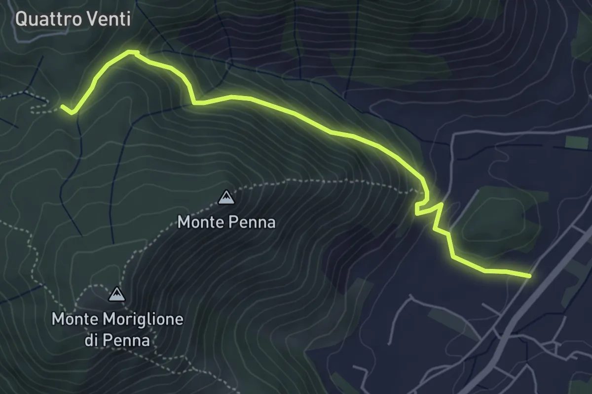
Medium · Trail
Via dei Bovi
5.6 km · ↑ 359 m · 2 h 6 min · 10 km away
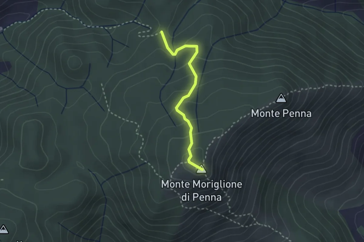
Medium · Summit
Santa Maria al Giudice – Croce a Vaccoli
2.4 km · ↑ 169 m · 56 min · 10 km away
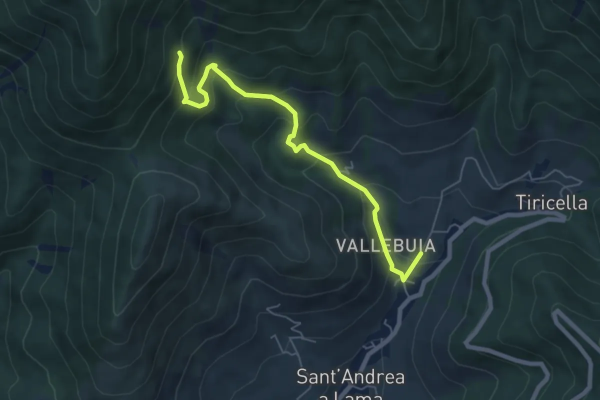
Medium · Trail
Castelmaggiore – Campo di Croce
5.6 km · ↑ 402 m · 2 h 11 min · 10 km away
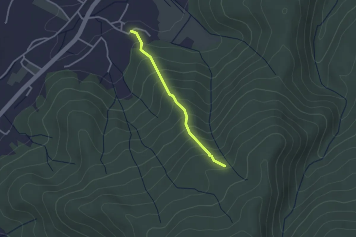
Easy · Trail
Borgo – Fetturina - Bivio Percorso 118
2.2 km · ↑ 232 m · 1 h 1 min · 10 km away
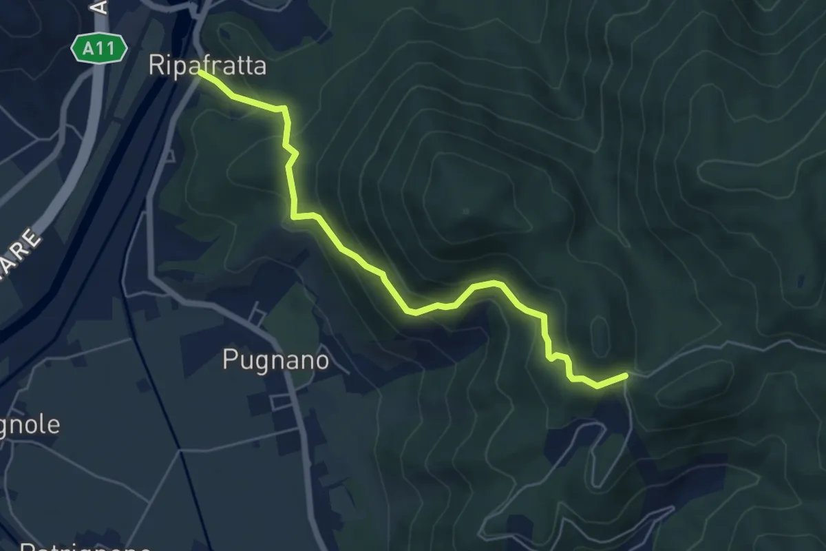
Medium · Trail
Ripafratta – Sacrario della Romagna
5.6 km · ↑ 388 m · 2 h 10 min · 10 km away
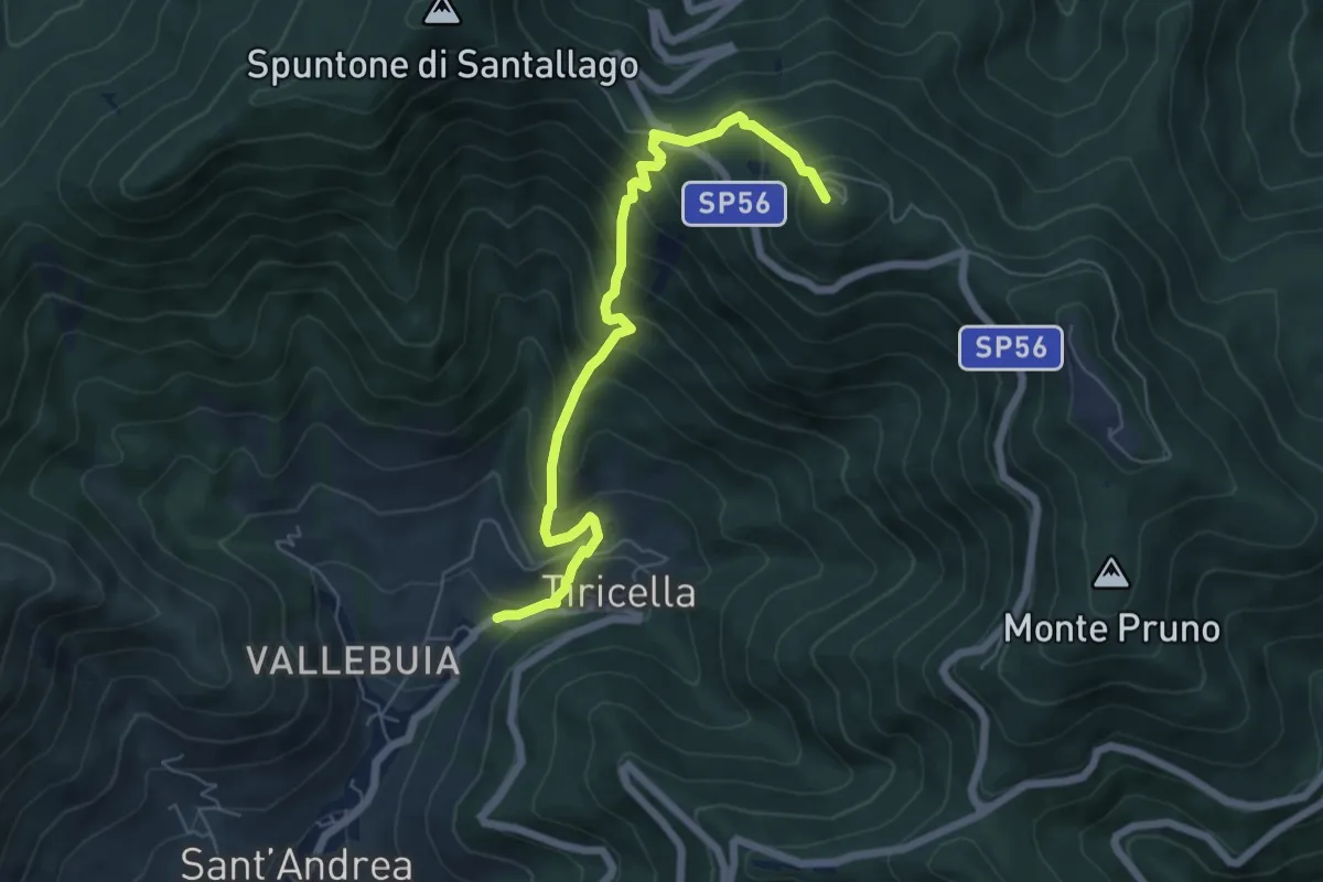
Medium · Summit
Castelmaggiore – Monte Cascetto
6.7 km · ↑ 740 m · 3 h 11 min · 11 km away
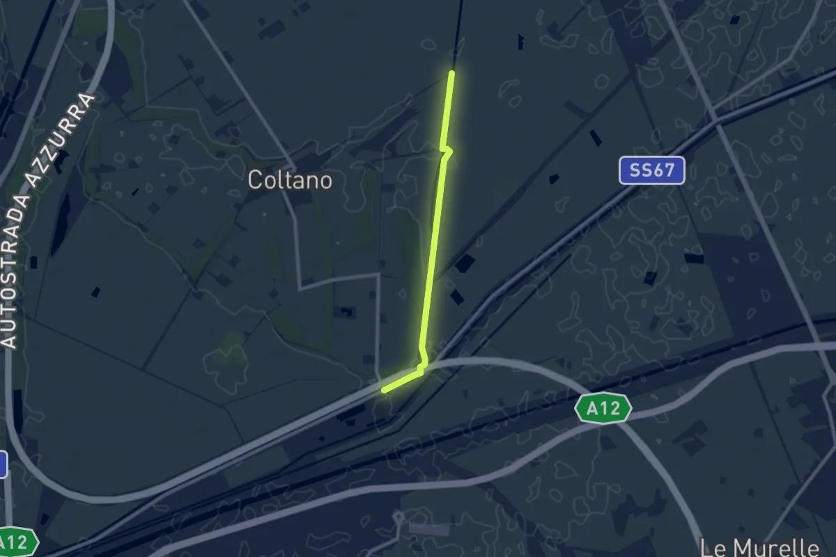
Easy · Trail
Deviazione 021 – Ponte Biscottino
7.4 km · ↑ 0 m · 1 h 45 min · 11 km away
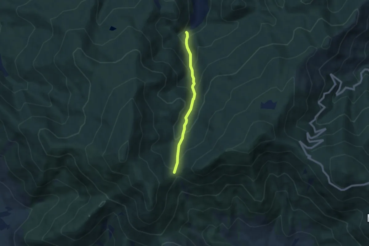
Medium · Trail
Via Calcesana: da Vorno a Campo di Croce
5.0 km · ↑ 425 m · 2 h 6 min · 11 km away
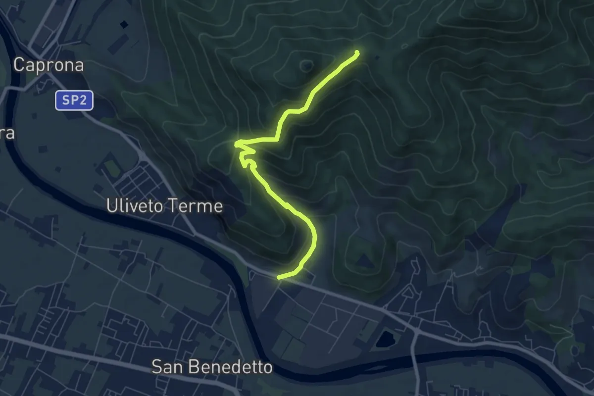
Medium · Trail
Noce – Prato a Ceccottino
7.1 km · ↑ 419 m · 2 h 35 min · 11 km away
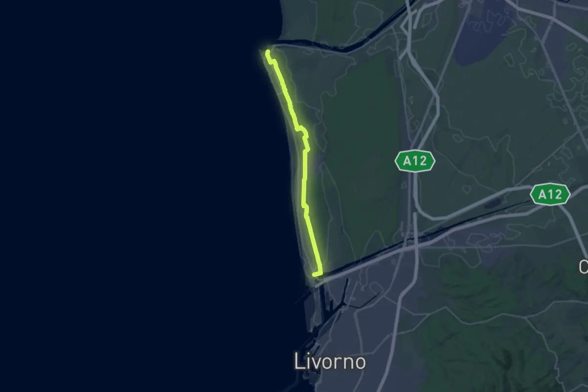
Demanding · Trail
Sentiero delle Dune
23.2 km · ↑ 55 m · 5 h 36 min · 11 km away
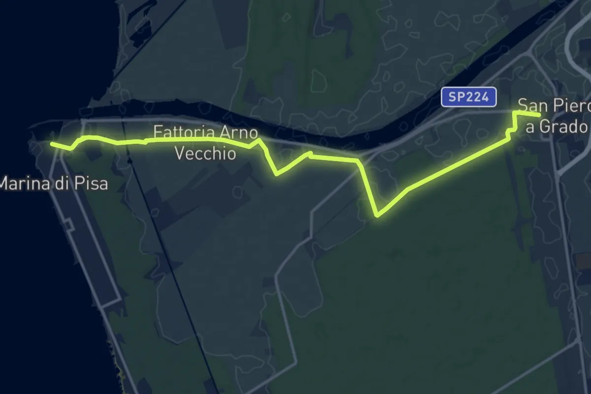
Medium · Trail
Sentiero Gabriele D'Annunzio
15.1 km · ↑ 21 m · 3 h 36 min · 11 km away
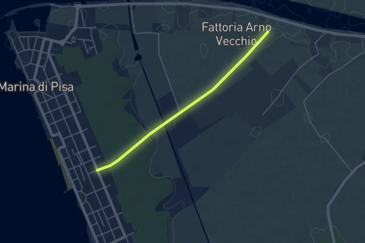
Easy · Trail
Fattoria Arno Vecchio – Marina Centro
4.1 km · ↑ 23 m · 1 h 1 min · 11 km away
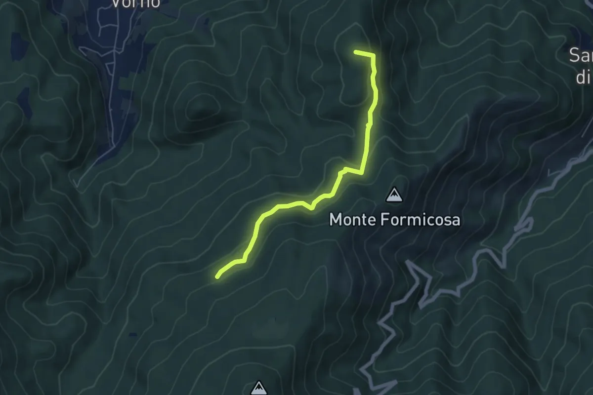
Easy · Summit
Le Parole d'Oro
5.4 km · ↑ 231 m · 1 h 46 min · 11 km away
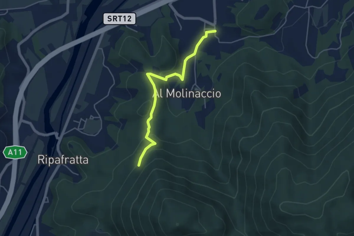
Easy · Trail
Cerasomma – innesto 00 sopra Ripafratta
4.1 km · ↑ 136 m · 1 h 16 min · 11 km away
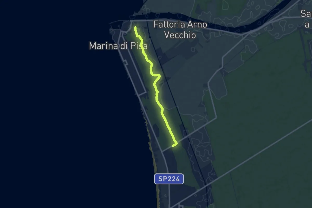
Medium · Trail
Porto di Marina di Pisa – Bigattiera
8.5 km · ↑ 27 m · 2 h 4 min · 12 km away
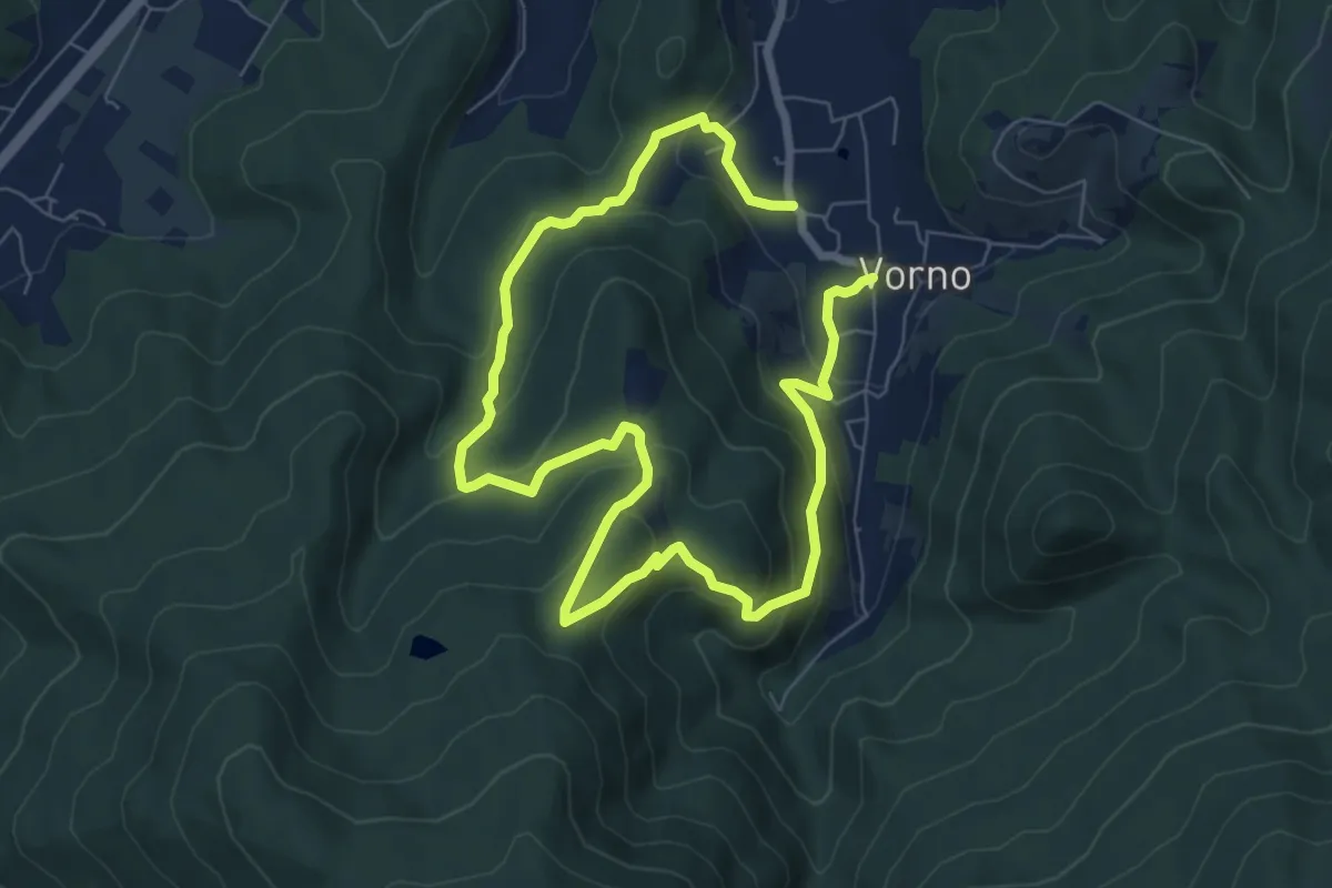
Expert · Summit
Anello di Vorno e Coselli
6.0 km · ↑ 313 m · 2 h 11 min · 12 km away
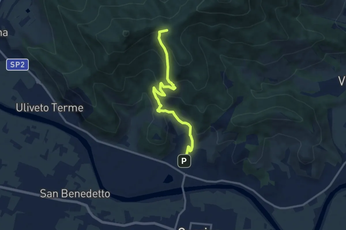
Medium · Summit
Caprona – Lugnano
7.7 km · ↑ 453 m · 2 h 48 min · 12 km away
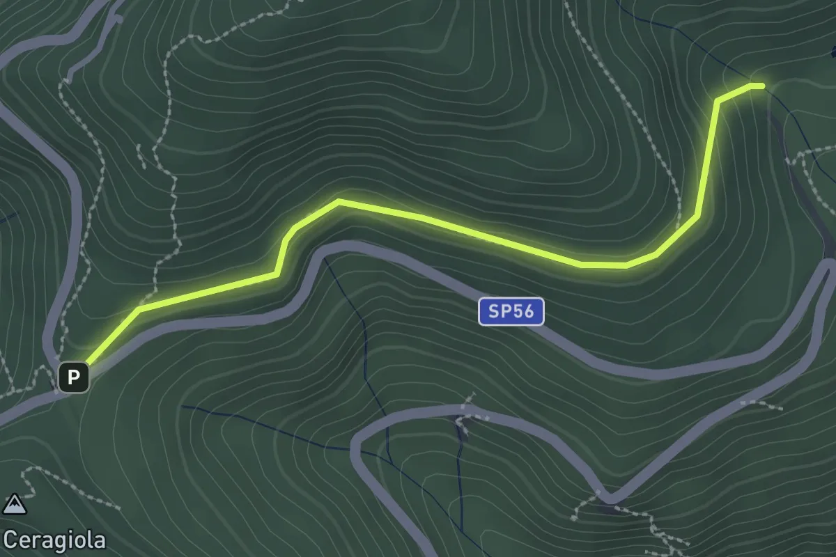
Easy · Trail
Serra di Sotto – Prato a Ceragiola
2.9 km · ↑ 114 m · 56 min · 12 km away
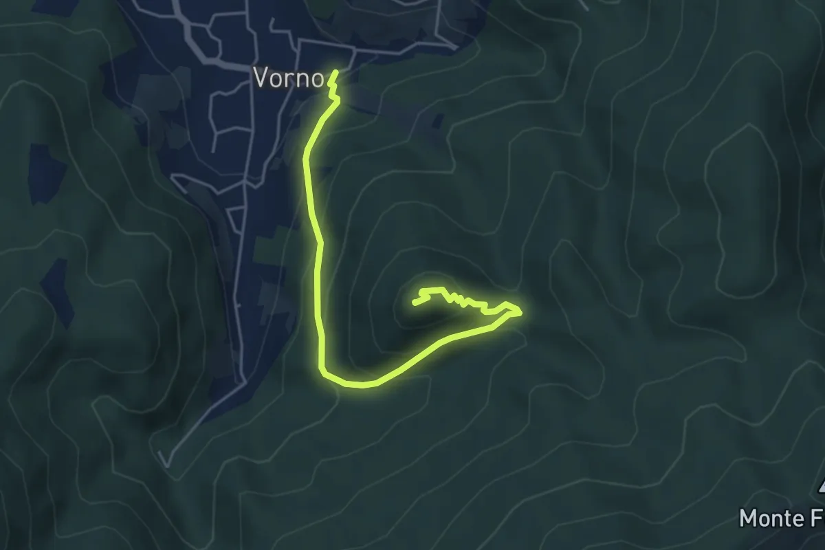
Medium · Summit
Vorno – Monte Zano
5.1 km · ↑ 361 m · 1 h 59 min · 12 km away
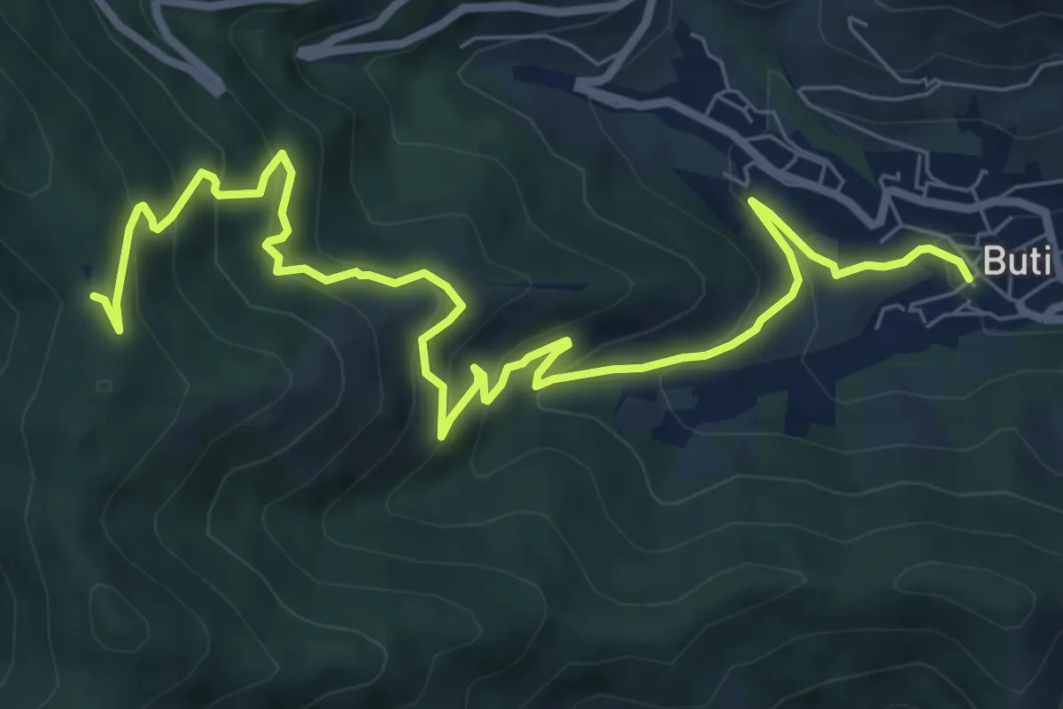
Medium · Trail
Buti – Prato a Giovo
9.9 km · ↑ 619 m · 3 h 41 min · 13 km away