Trails near Pisa
65 hikes starting within 15 km, nearest first.
Nearest first, page 2 of 2
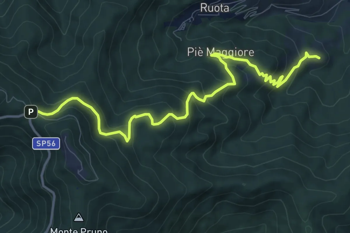
Medium · Summit
Colle di Compito – Prato di Calci
11.1 km · ↑ 688 m · 4 h 7 min · 13 km away
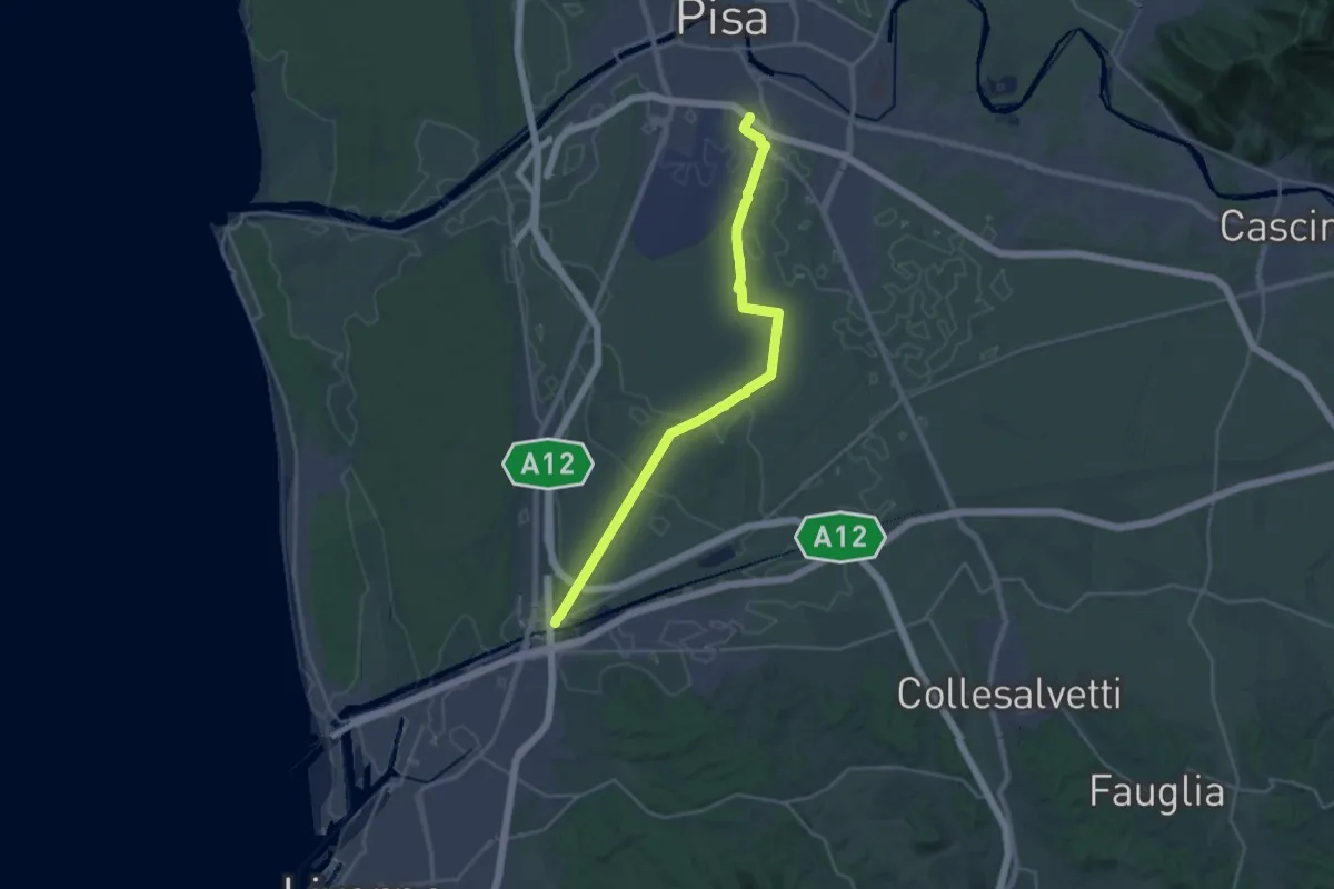
Demanding · Trail
Sentiero Guglielmo Marconi
27.2 km · ↑ 37 m · 6 h 30 min · 13 km away
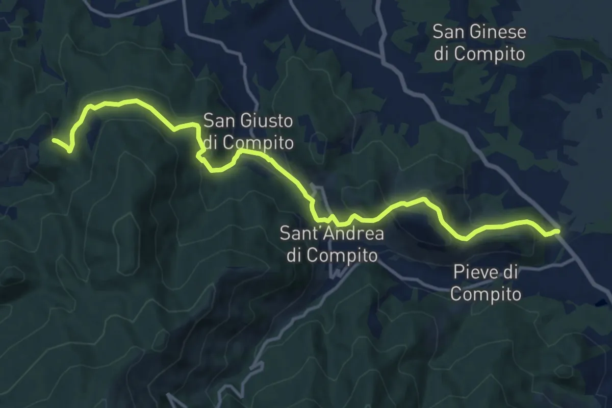
Medium · Trail
Traversale di Compito
13.8 km · ↑ 627 m · 4 h 37 min · 13 km away
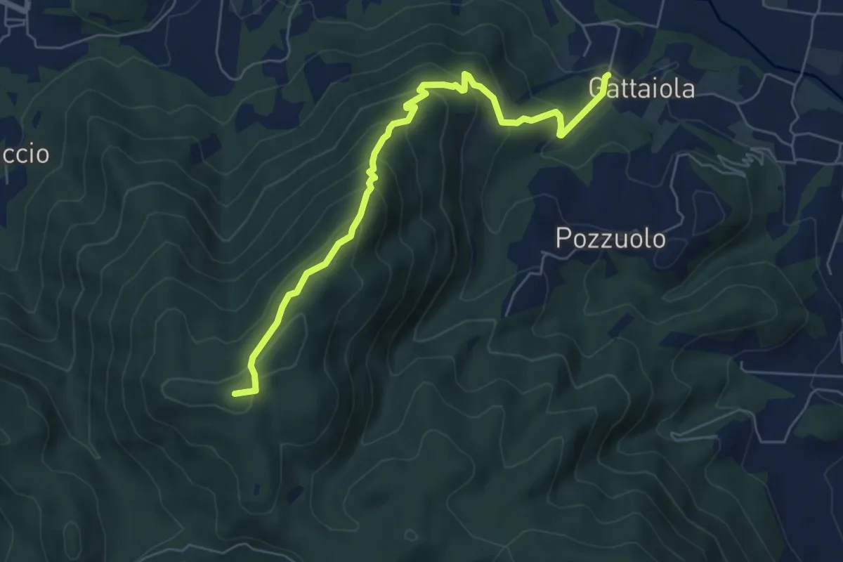
Medium · Summit
Monte della Romagna
6.6 km · ↑ 449 m · 2 h 31 min · 13 km away
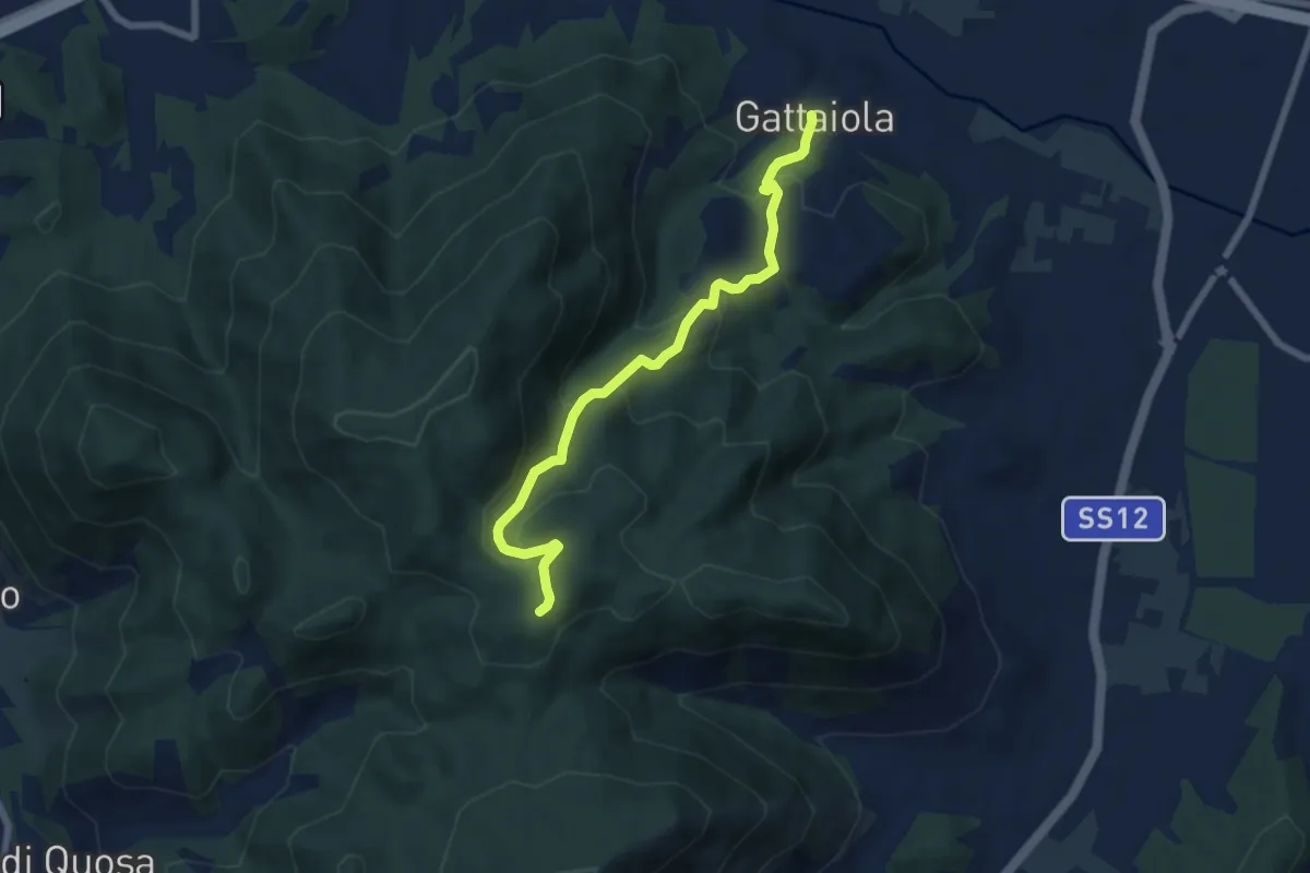
Medium · Trail
Gattaiola – Quattro Venti
7.1 km · ↑ 380 m · 2 h 30 min · 13 km away
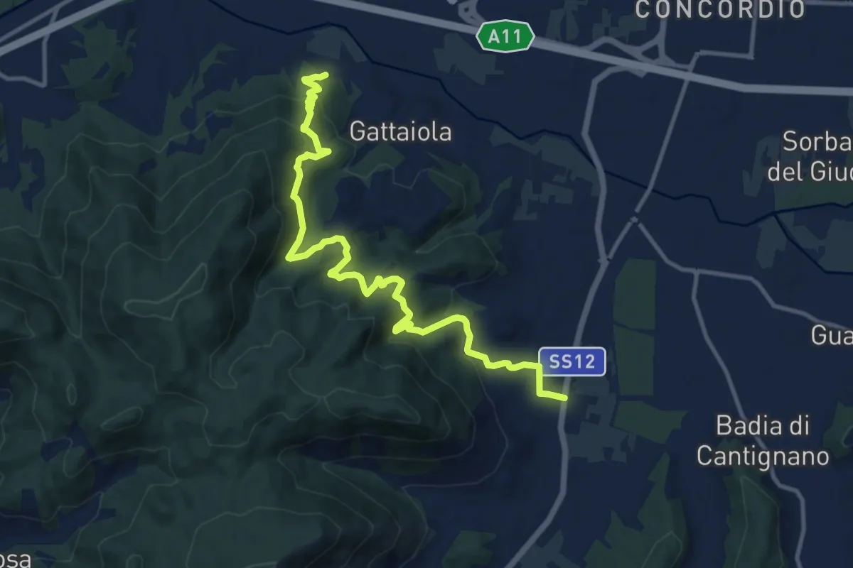
Medium · Trail
Massa Pisana – Pozzuolo
12.8 km · ↑ 735 m · 4 h 37 min · 14 km away
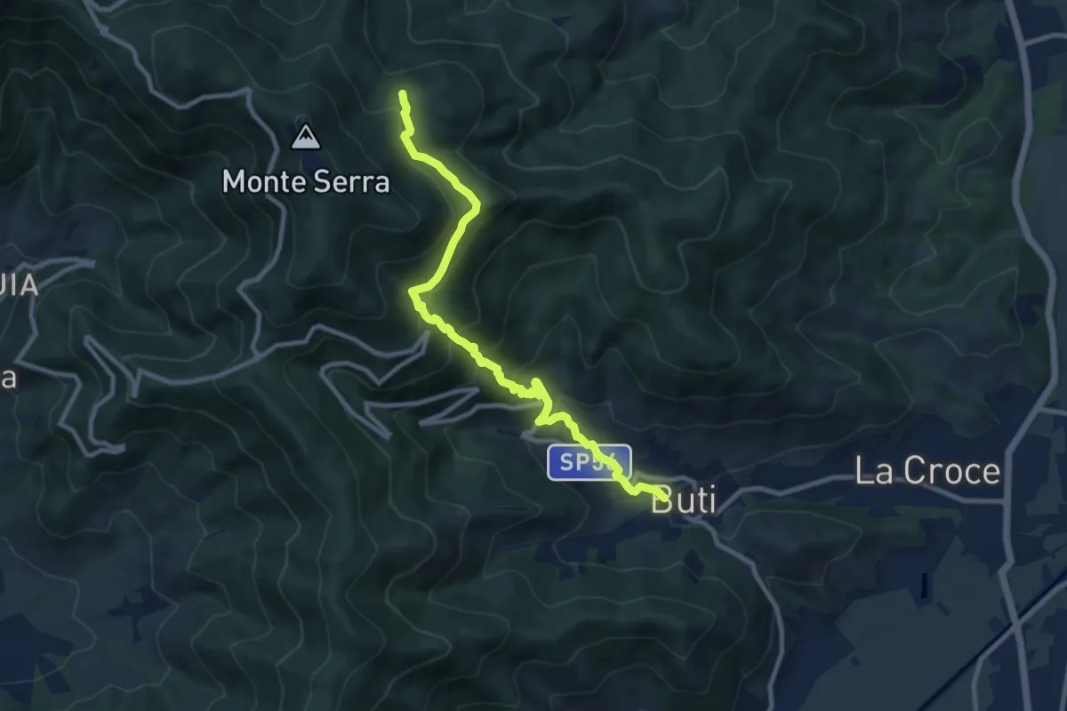
Medium · Trail
Buti – Piambello
10.4 km · ↑ 669 m · 3 h 55 min · 14 km away
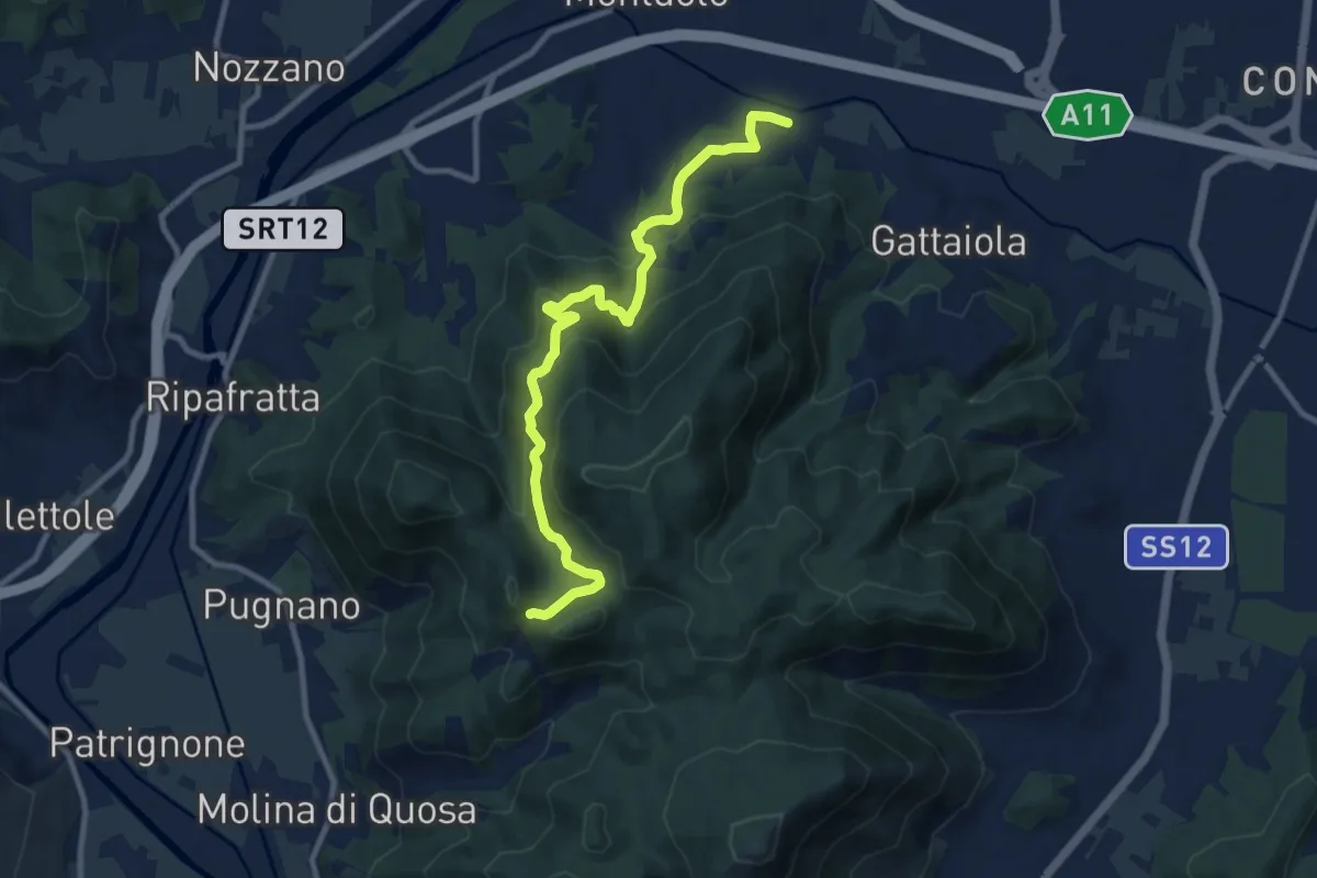
Medium · Trail
Castel Passerino
10.7 km · ↑ 574 m · 3 h 46 min · 14 km away
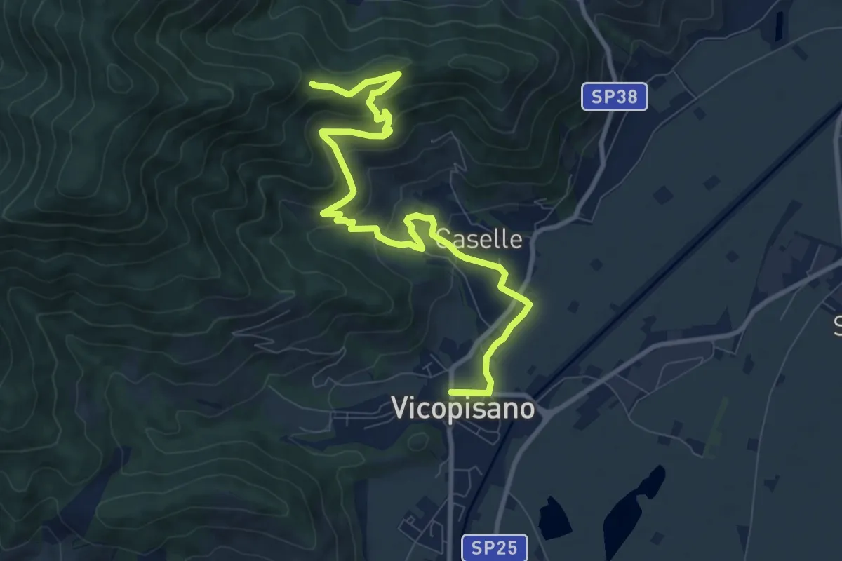
Medium · Trail
Vicopisano – Col di Cincia
10.8 km · ↑ 442 m · 3 h 31 min · 14 km away
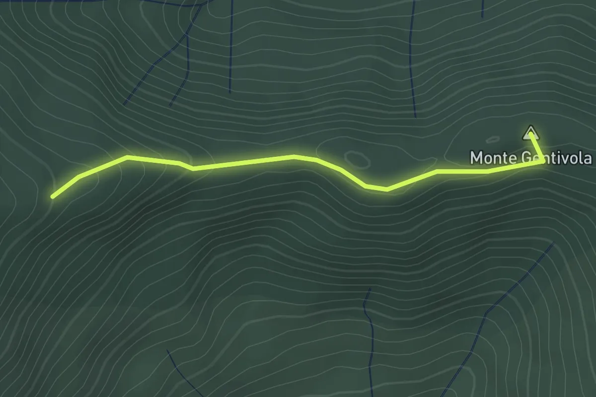
Easy · Summit
Percorso 142 – Percorso 140
2.2 km · ↑ 94 m · 44 min · 14 km away
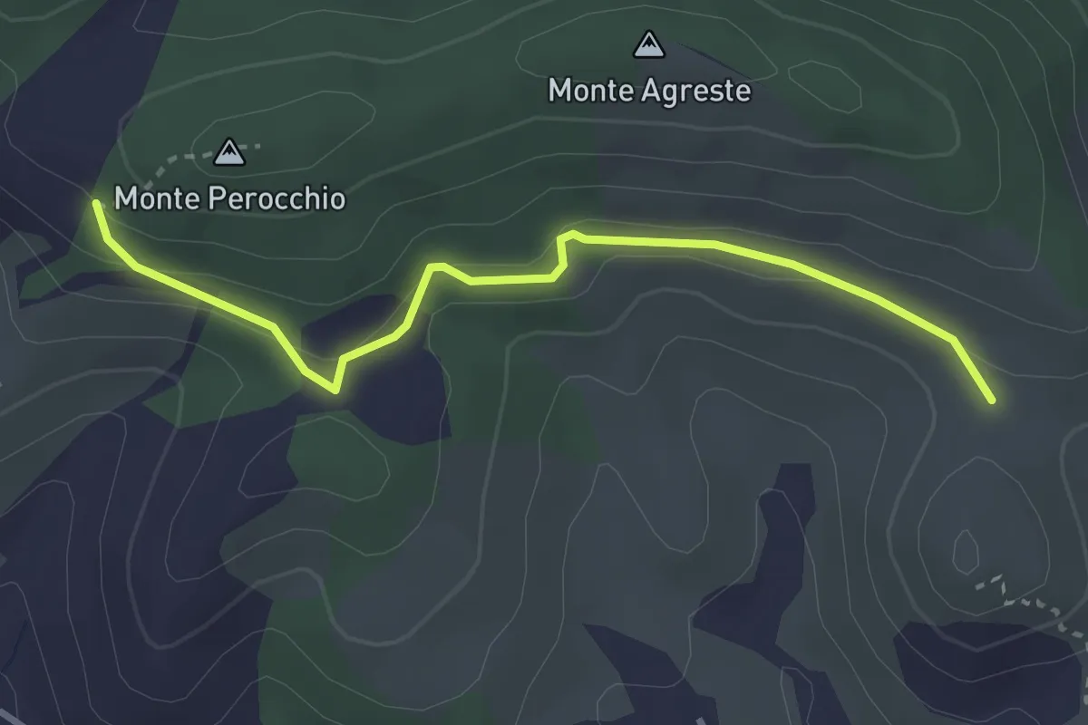
Easy · Trail
Località del Croci – Campo dei Lupi
3.3 km · ↑ 118 m · 1 h 2 min · 14 km away
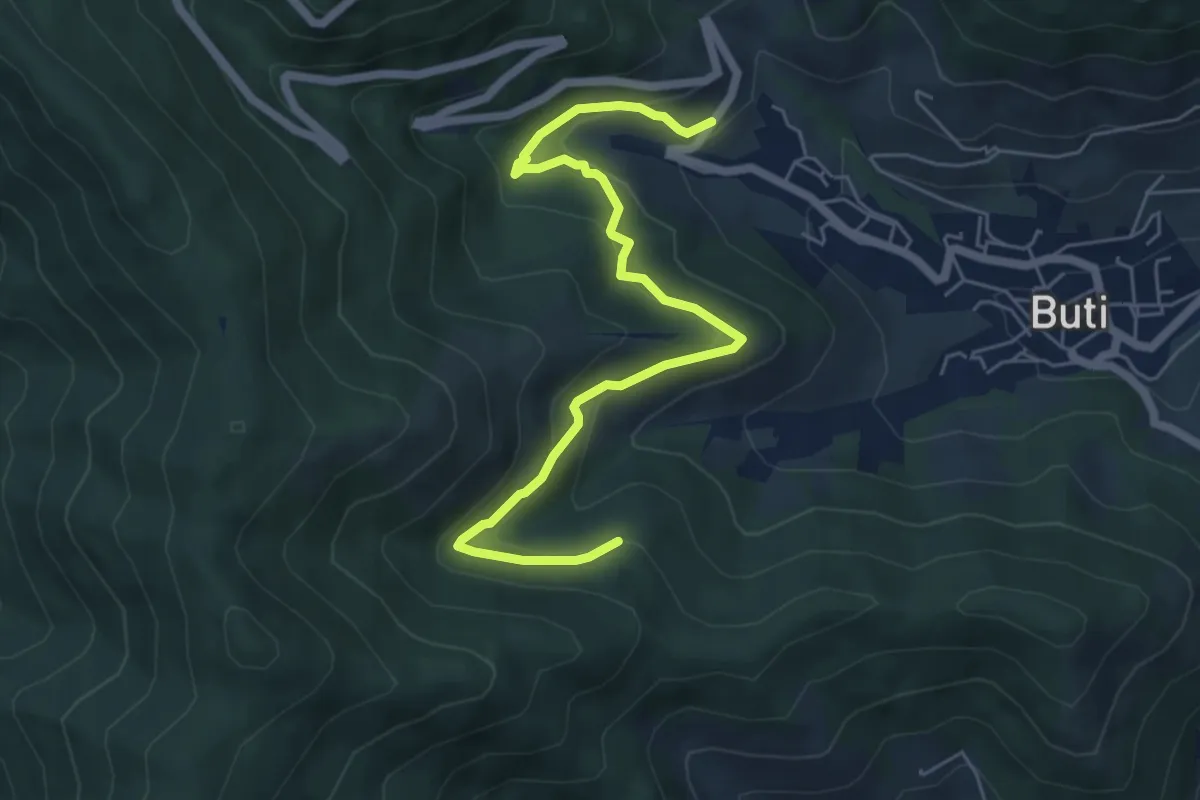
Medium · Trail
Panicale – Col di Cincia
6.8 km · ↑ 347 m · 2 h 21 min · 14 km away
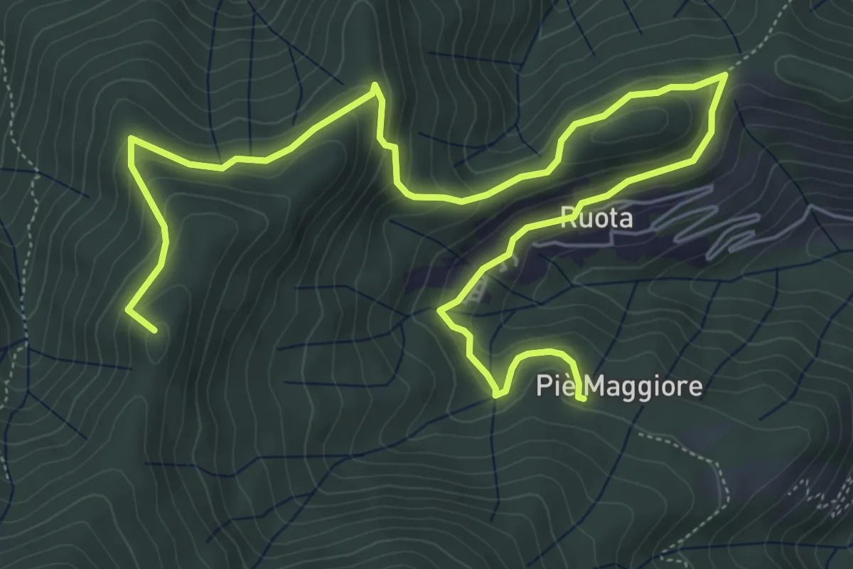
Medium · Summit
Ruota – Sassabodda - Fonte Cavallaia
9.3 km · ↑ 474 m · 3 h 14 min · 15 km away
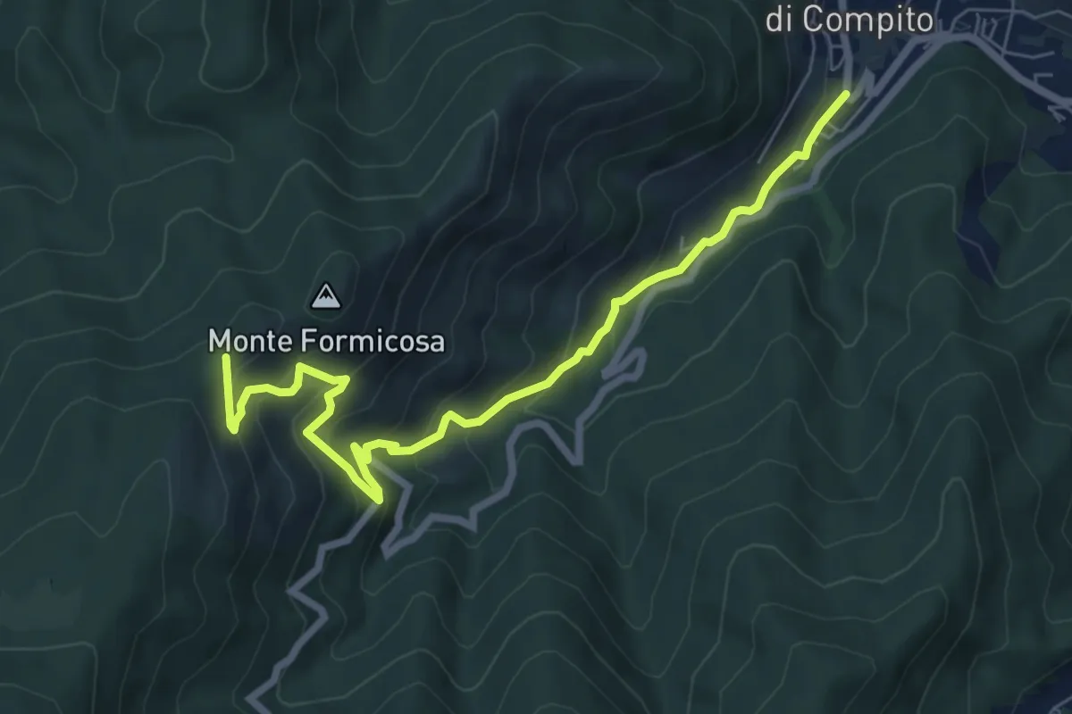
Medium · Trail
Fosso del Lupo
7.8 km · ↑ 526 m · 2 h 59 min · 15 km away
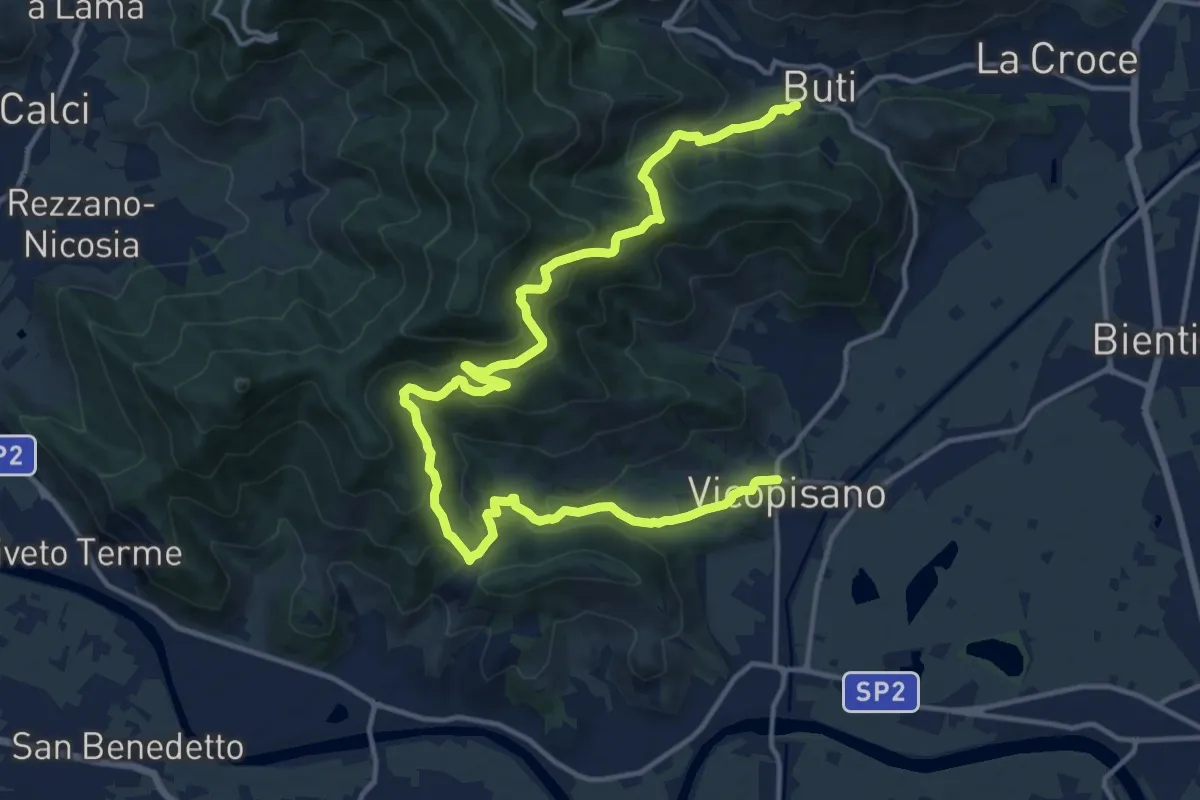
Demanding · Trail
Vicopisano – Buti
20.0 km · ↑ 978 m · 6 h 50 min · 15 km away
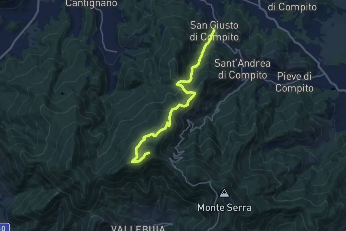
Demanding · Summit
San Giusto – Santallago - Spuntone di Santallago
13.8 km · ↑ 836 m · 5 h 4 min · 15 km away
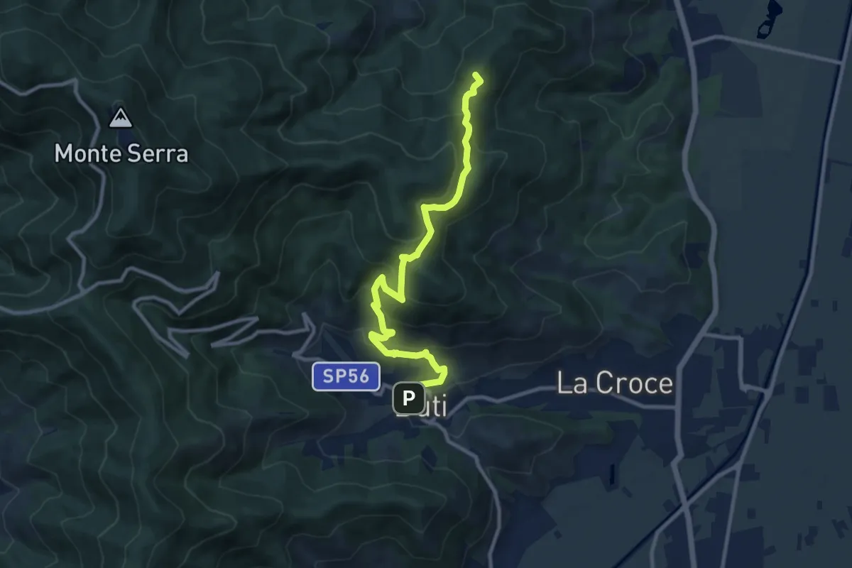
Medium · Summit
Castelvecchio di Compito – Buti
10.5 km · ↑ 603 m · 3 h 47 min · 15 km away