Trails near Pontassieve
134 hikes starting within 15 km, nearest first.
Nearest first, page 1 of 3
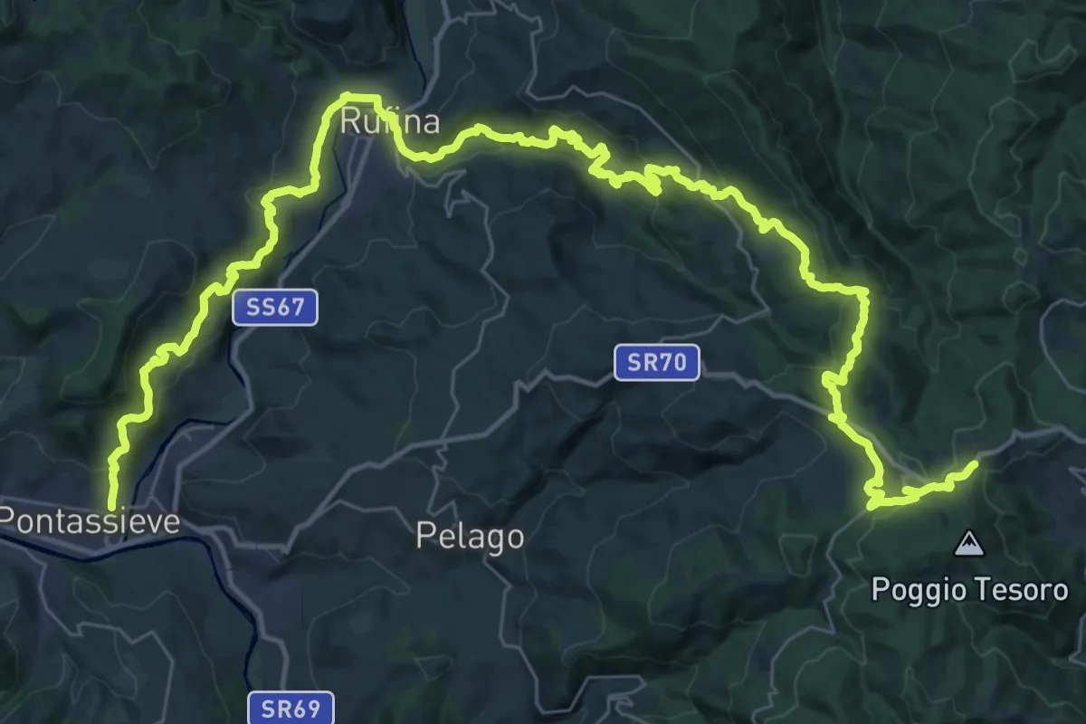
Demanding · Trail
Sentiero della Memoria
28.4 km · ↑ 1490 m · 9 h 53 min · under 1 km away
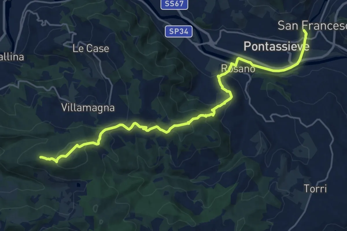
Demanding · Summit
Cammino di Dante - Tappa 10
18.2 km · ↑ 661 m · 5 h 44 min · 1 km away
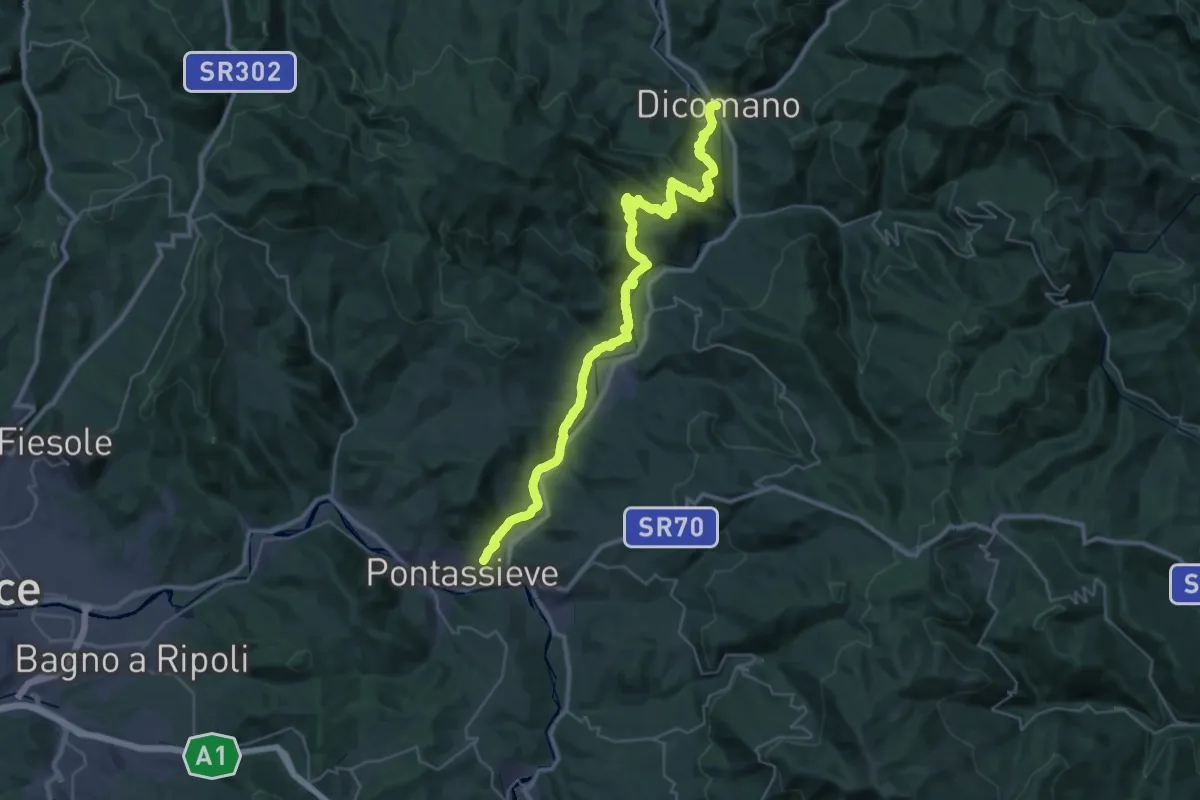
Demanding · Trail
Cammino di Dante - Tappa 9
20.7 km · ↑ 724 m · 6 h 44 min · 1 km away
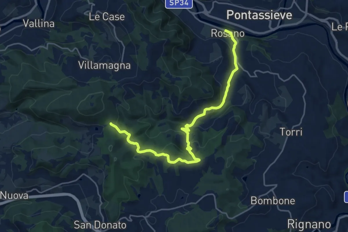
Medium · Trail
Rosano – Valico Di Terzano
16.9 km · ↑ 480 m · 5 h 1 min · 1 km away
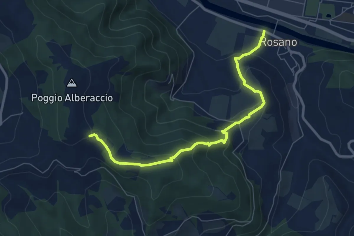
Medium · Trail
Rosano – Poggio Alberaccio
6.9 km · ↑ 369 m · 2 h 26 min · 1 km away
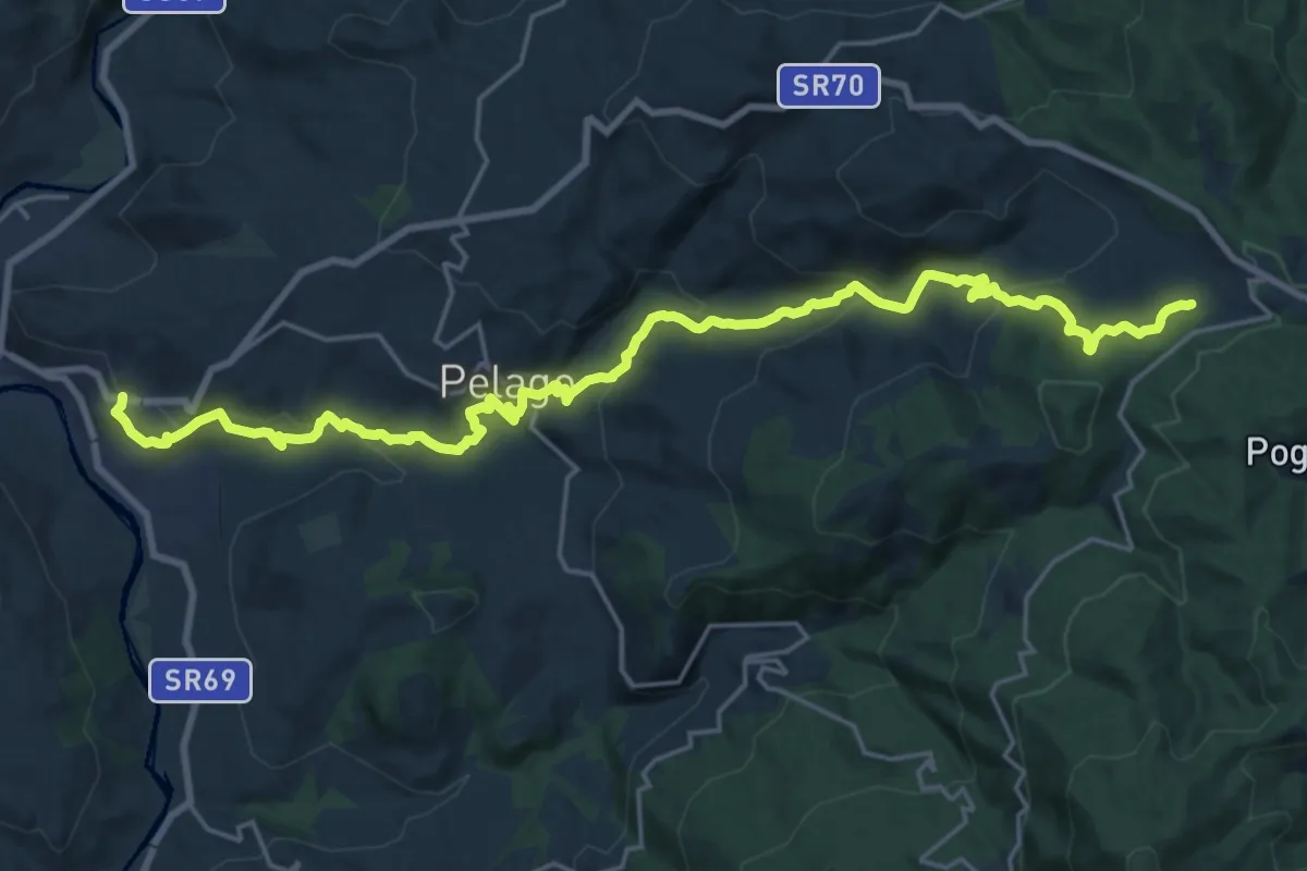
Demanding · Trail
Palaie – Podernovo
13.2 km · ↑ 964 m · 5 h · 2 km away
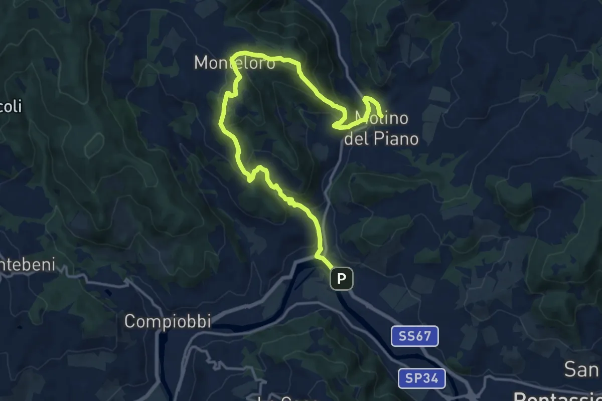
Medium · Trail
Sieci – Molin del Piano
17.1 km · ↑ 762 m · 5 h 41 min · 4 km away
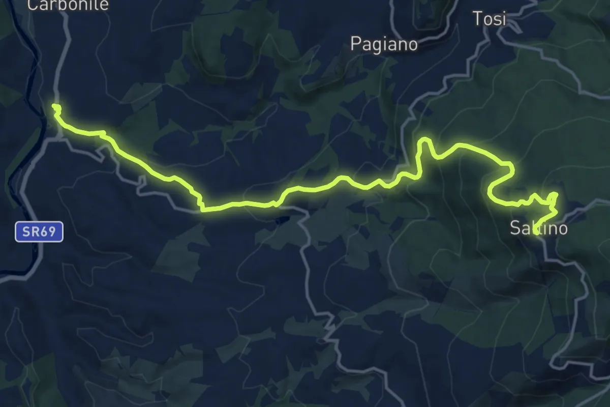
Demanding · Trail
Percorso ex ferrovia a cremagliera Sant'Ellero Saltino
17.4 km · ↑ 883 m · 6 h 1 min · 5 km away
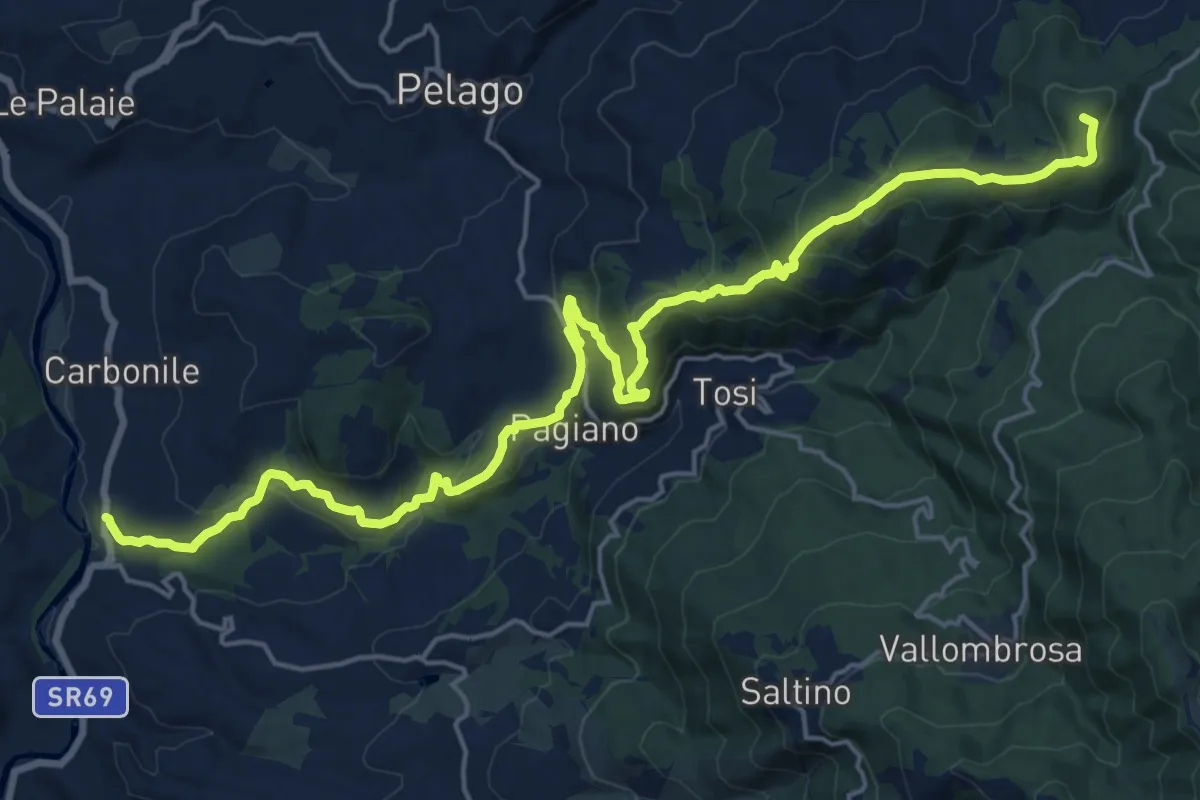
Demanding · Summit
Sant'Ellero – Consuma
25.0 km · ↑ 1091 m · 8 h 16 min · 5 km away
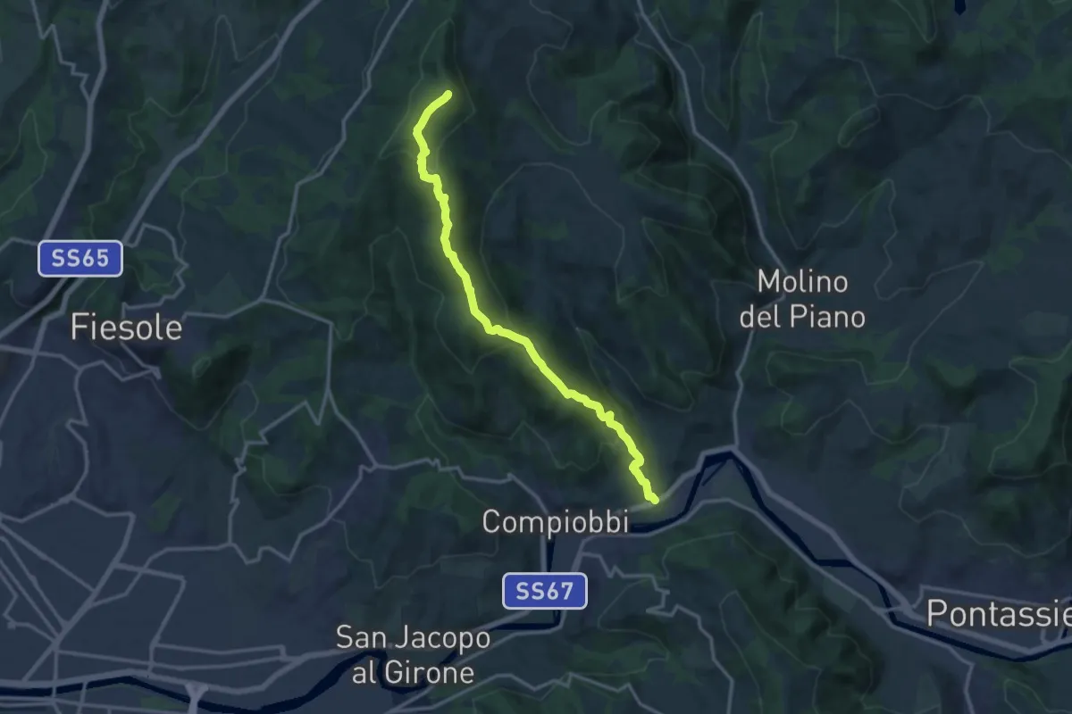
Medium · Summit
Poggio Pratone – Le Falle
14.5 km · ↑ 678 m · 4 h 53 min · 5 km away
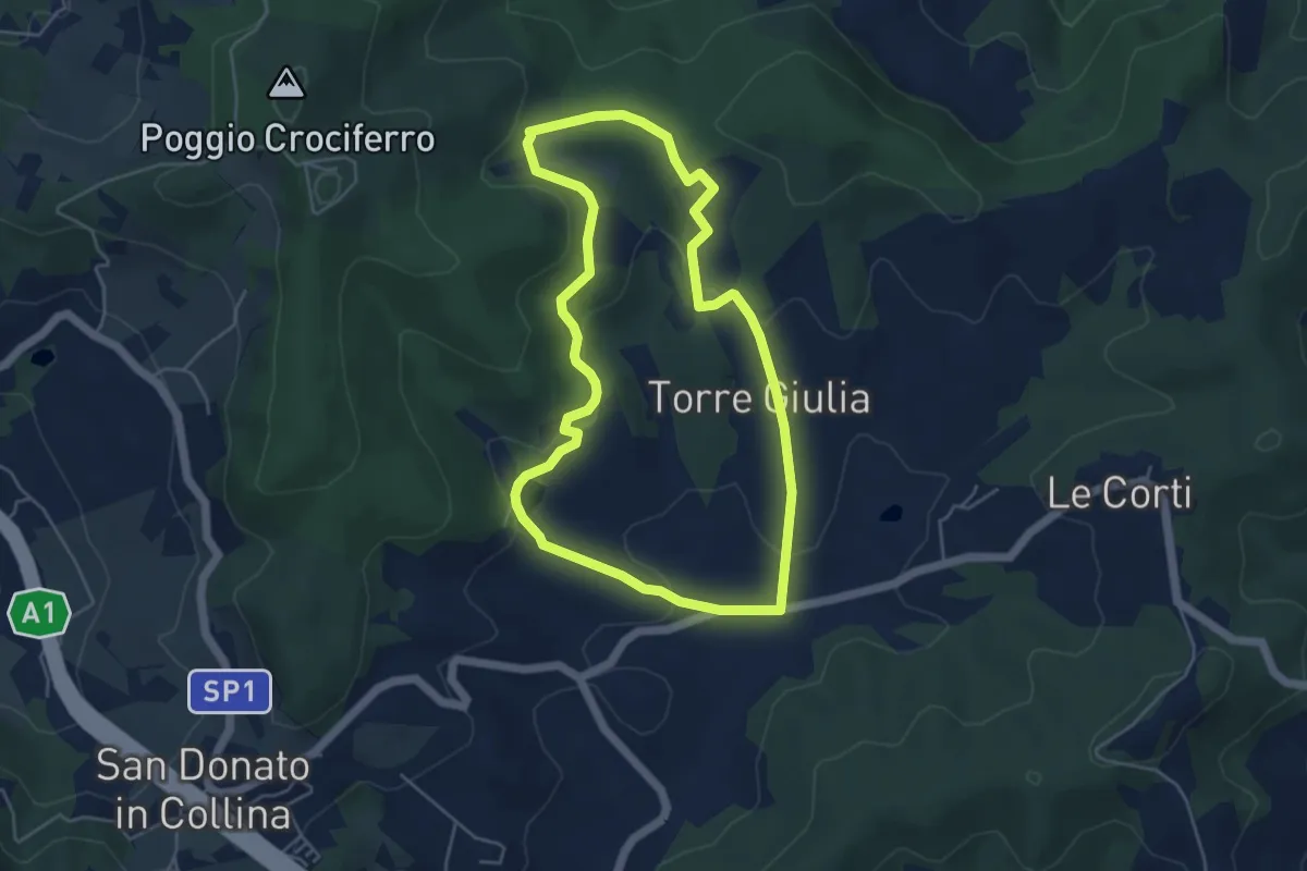
Easy · Trail
Percorso della Memoria
5.0 km · ↑ 143 m · 1 h 33 min · 5 km away
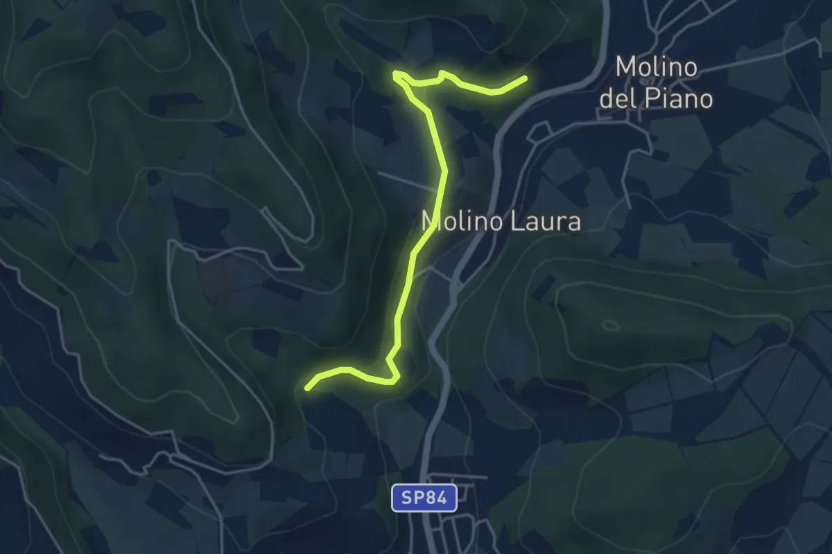
Easy · Trail
Sentiero 4 – Sentiero 4
4.2 km · ↑ 143 m · 1 h 19 min · 5 km away
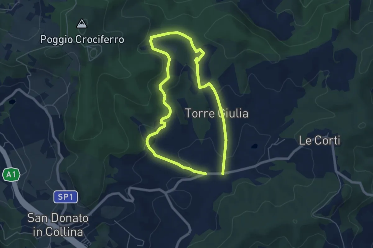
Medium · Trail
Il Fossato – Badiuzza
9.5 km · ↑ 264 m · 2 h 50 min · 6 km away
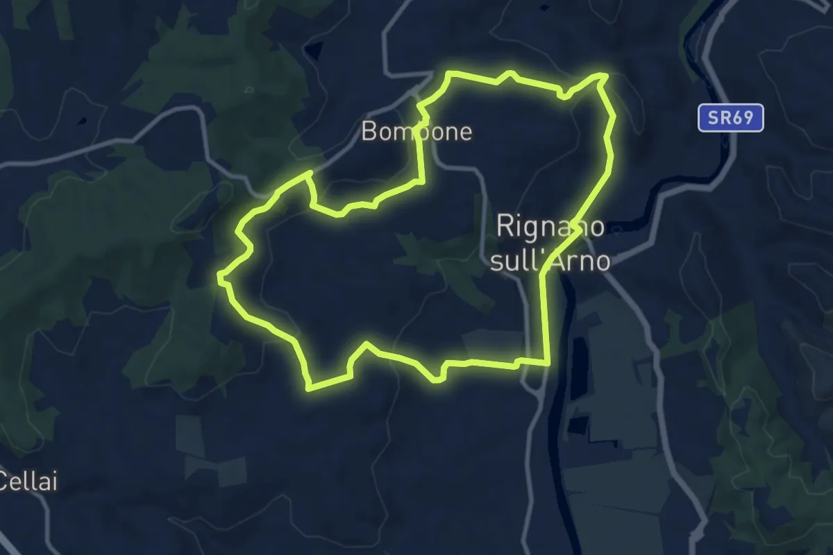
Medium · Trail
Rignano sull'Arno – Rignano sull'Arno
10.3 km · ↑ 284 m · 3 h 12 min · 6 km away
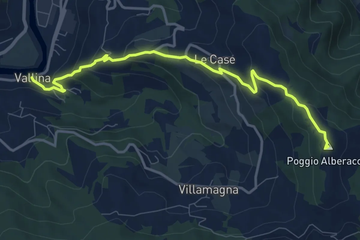
Medium · Summit
Sentiero 0–da Vallina a Poggio a Luco
8.9 km · ↑ 442 m · 3 h 4 min · 6 km away
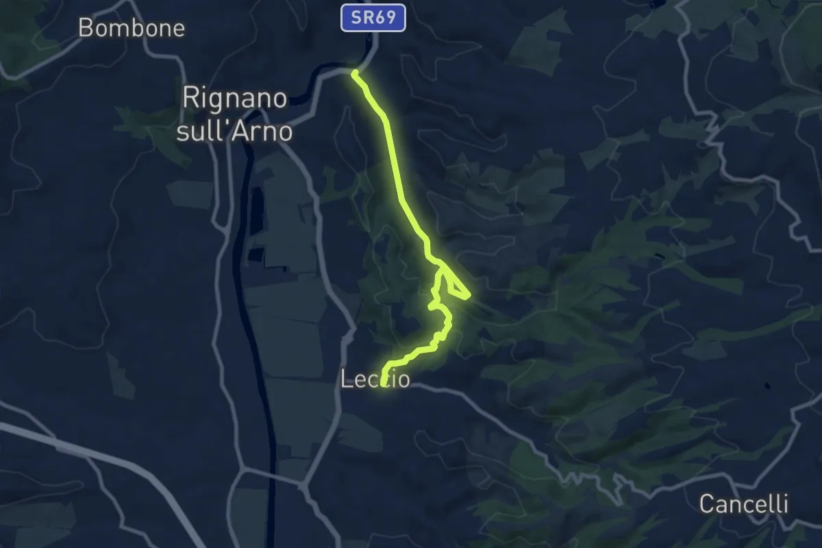
Medium · Trail
S.R. 69 / Marnia – Leccio
9.4 km · ↑ 251 m · 2 h 46 min · 6 km away
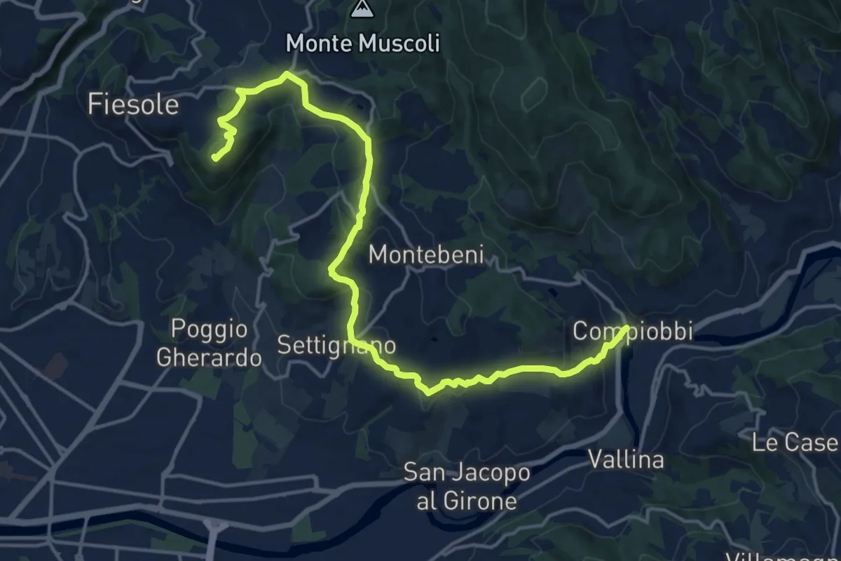
Demanding · Summit
Fiesole – Settignano Compiobbi
18.3 km · ↑ 586 m · 5 h 36 min · 6 km away
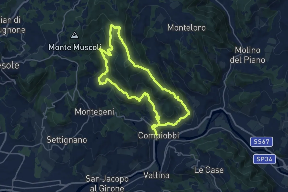
Medium · Trail
Compiobbi – Compiobbi
14.0 km · ↑ 611 m · 4 h 48 min · 6 km away
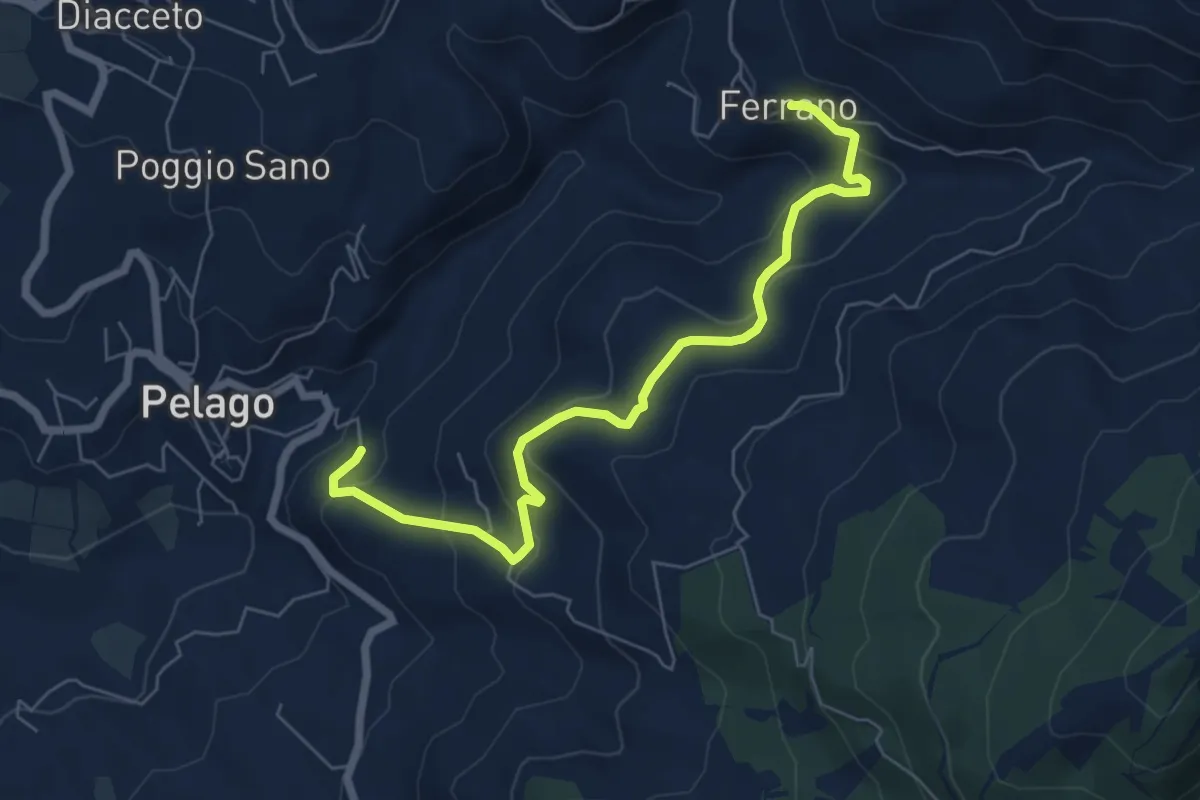
Medium · Trail
Pelago – Ferrano
7.1 km · ↑ 358 m · 2 h 27 min · 6 km away
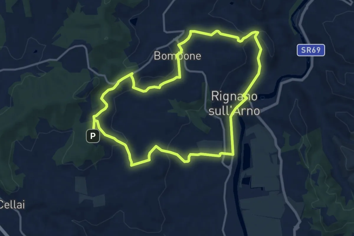
Medium · Trail
Percorso "Pievi, Chiese e Castelli"
10.6 km · ↑ 279 m · 3 h 16 min · 7 km away
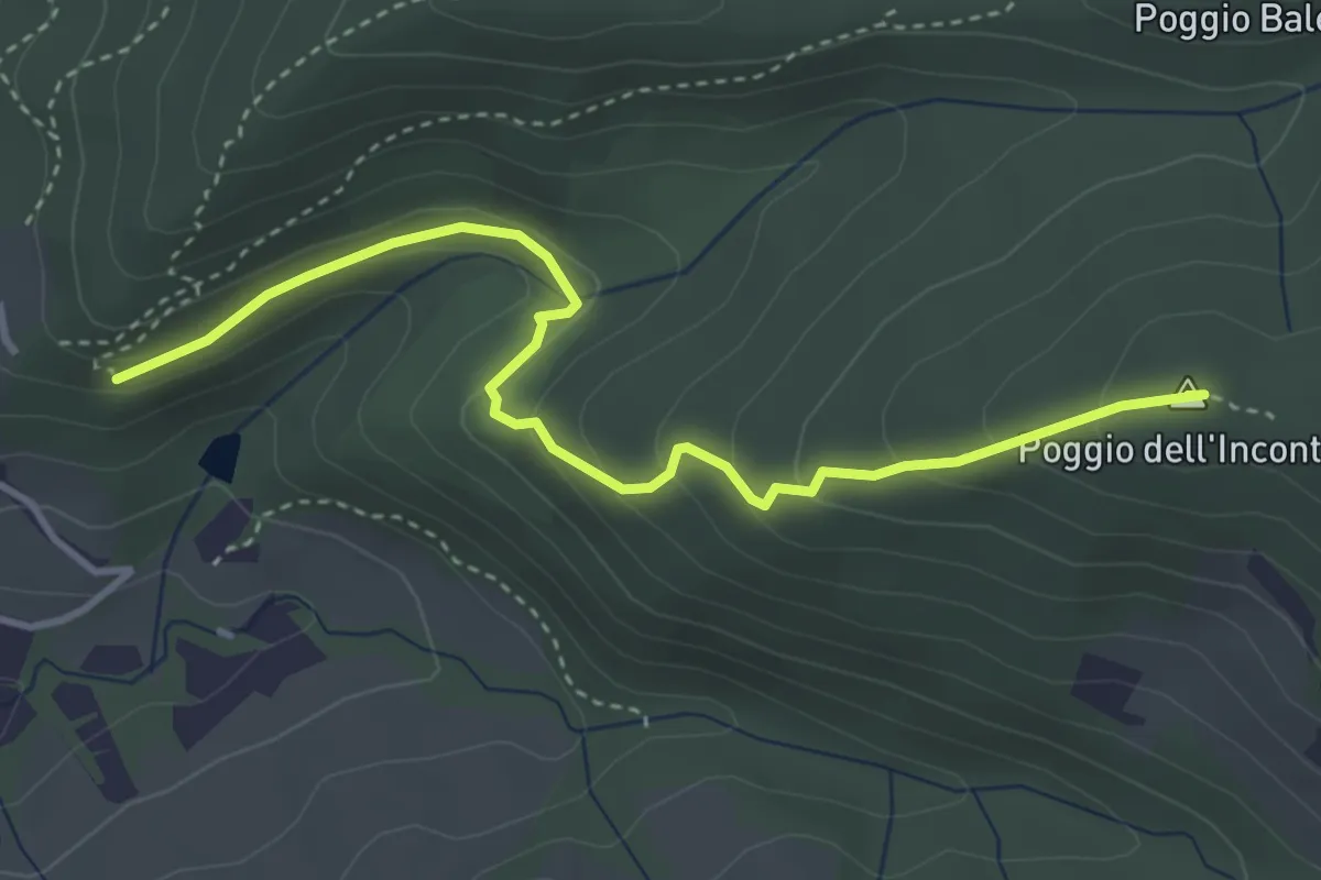
Easy · Summit
Vicchio Di Rimaggio-Vernalese – Poggio Incontro
4.2 km · ↑ 211 m · 1 h 27 min · 7 km away
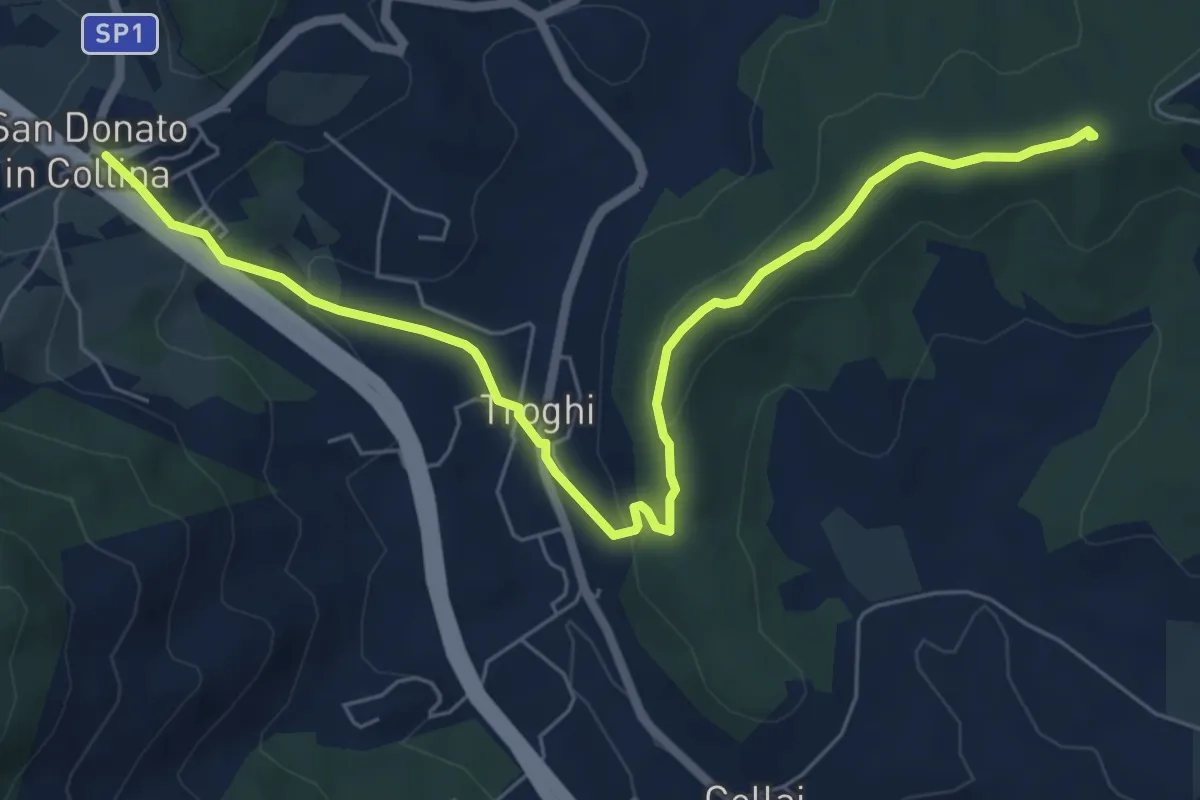
Easy · Summit
Rignano sull'Arno – Troghi
8.0 km · ↑ 250 m · 2 h 25 min · 7 km away
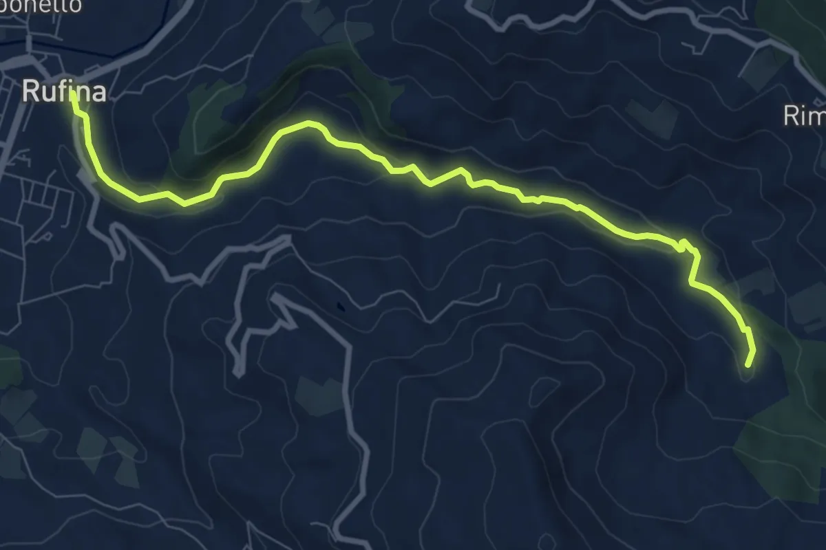
Medium · Trail
Cammino dell'acqua Rufina
9.5 km · ↑ 276 m · 2 h 50 min · 7 km away
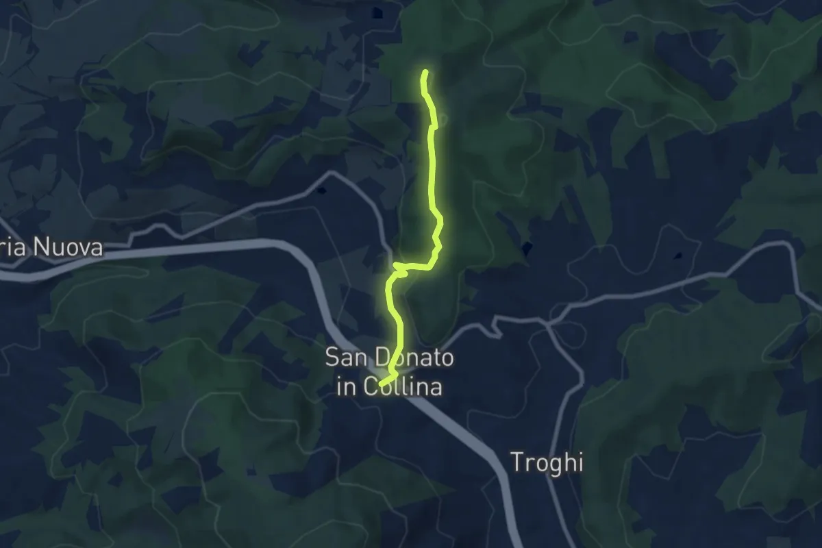
Easy · Summit
Sentiero 0 – da Poggio a Luco a San Donato in Collina
6.1 km · ↑ 172 m · 1 h 48 min · 7 km away
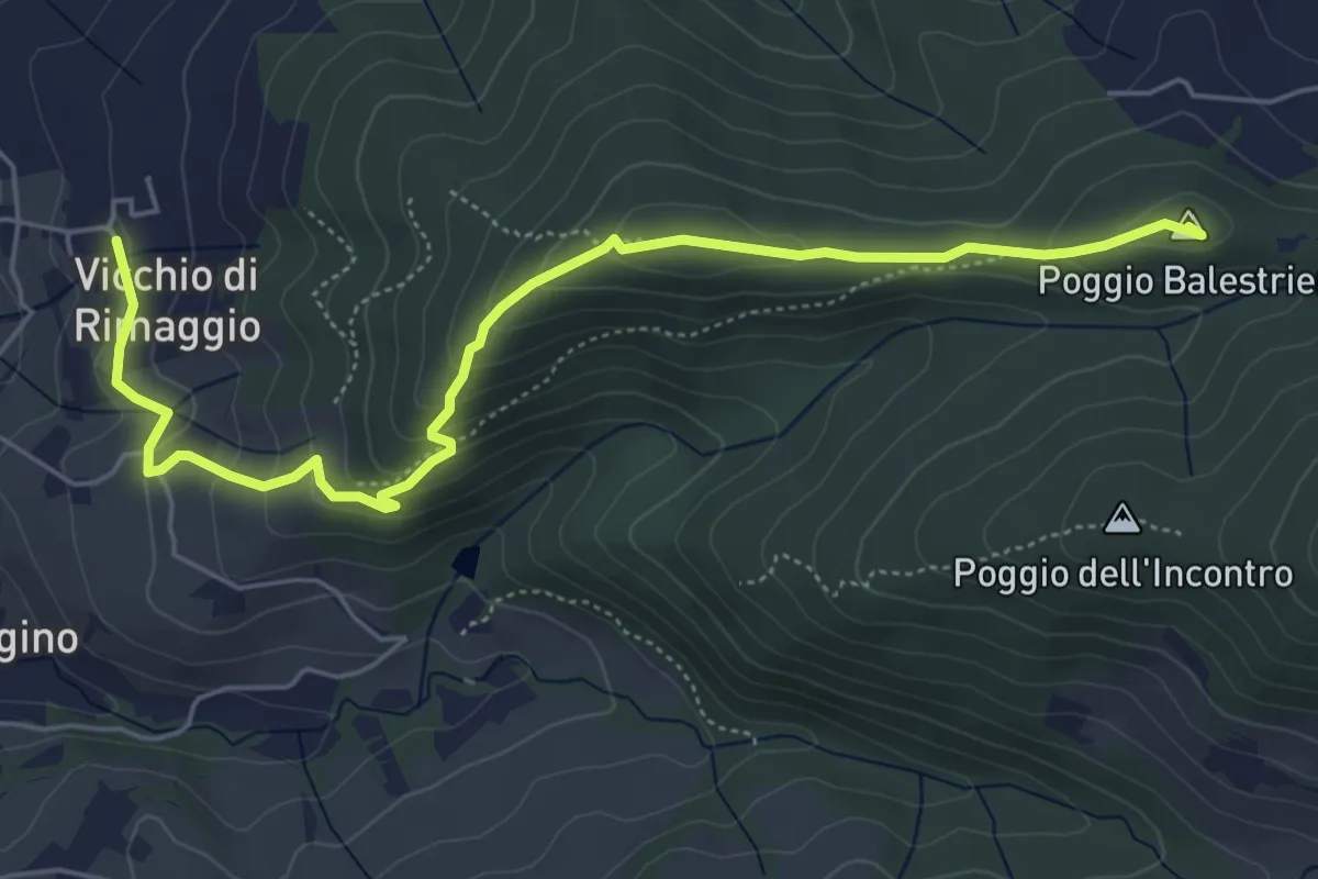
Easy · Summit
Vicchi Di Rimaggio – Poggio Incontro
6.5 km · ↑ 309 m · 2 h 12 min · 8 km away
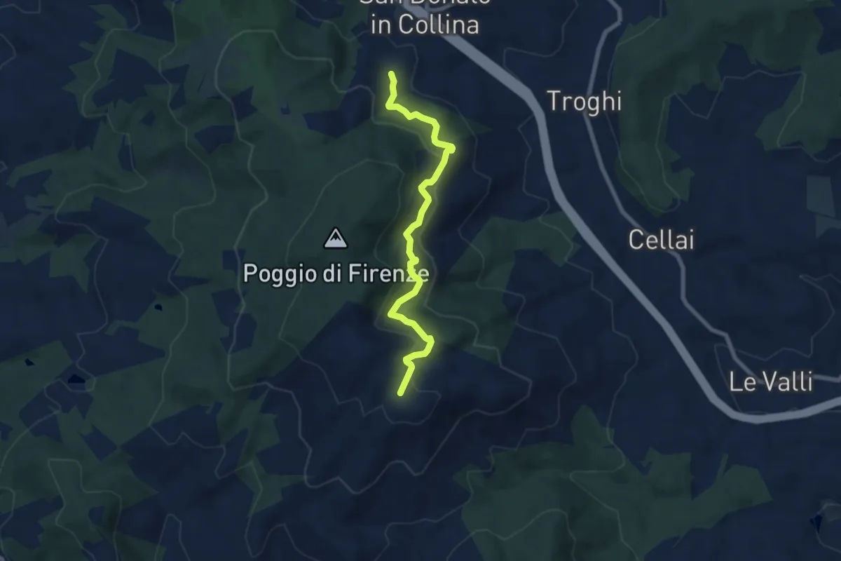
Medium · Trail
S. Donato in Collina – Casa al Monte
7.1 km · ↑ 427 m · 2 h 36 min · 8 km away
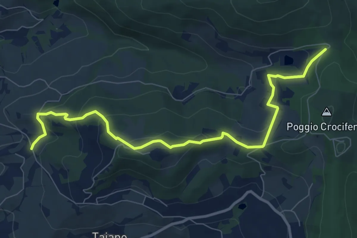
Medium · Trail
Bigallo – Valico Di Terzano
8.7 km · ↑ 343 m · 2 h 48 min · 8 km away
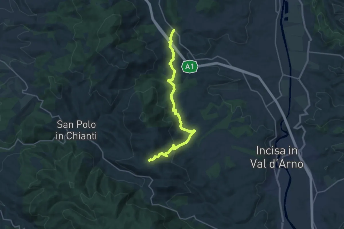
Medium · Trail
Cellai – sent. 00
15.0 km · ↑ 470 m · 4 h 34 min · 8 km away
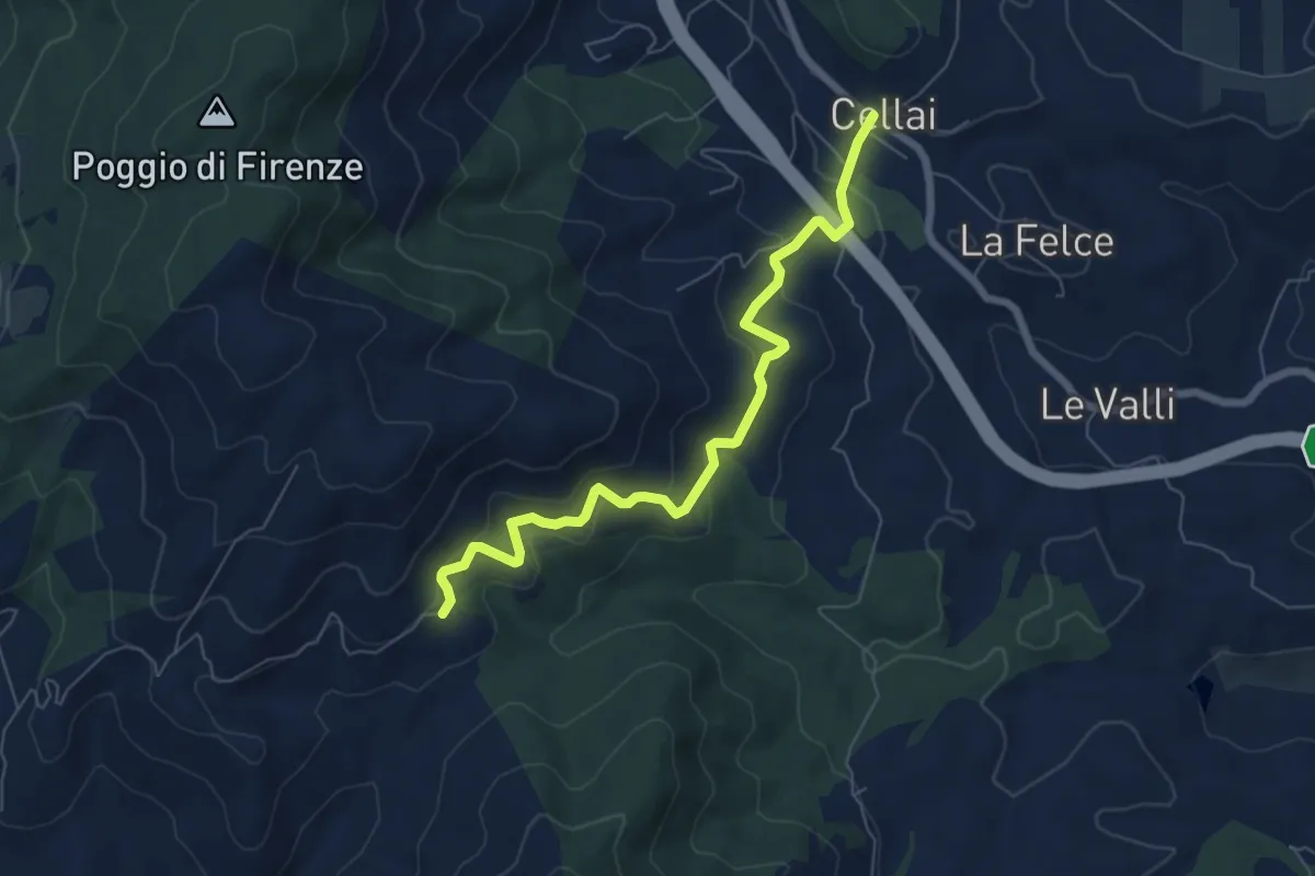
Medium · Trail
Cellai – Fabiano
7.1 km · ↑ 347 m · 2 h 25 min · 8 km away
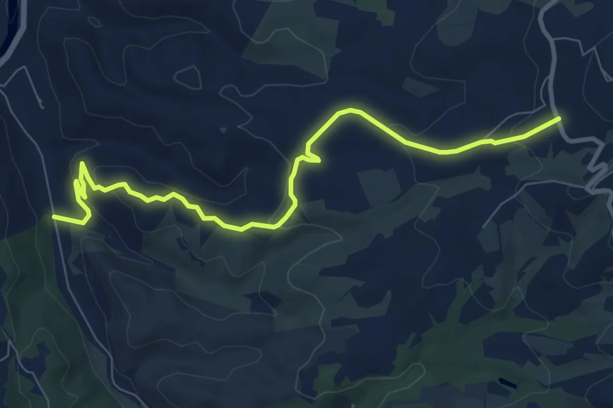
Medium · Trail
R20
8.6 km · ↑ 289 m · 2 h 40 min · 8 km away
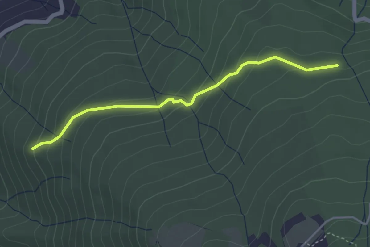
Easy · Trail
Raccordo Sentiero 9 – Incrocio Sentiero 913
3.5 km · ↑ 185 m · 1 h 14 min · 8 km away
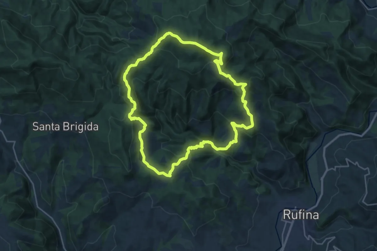
Demanding · Summit
Sorgenti di Firenze Trekking – Anello 3: Nei territori degli antichi castelli
17.4 km · ↑ 879 m · 6 h 14 min · 8 km away
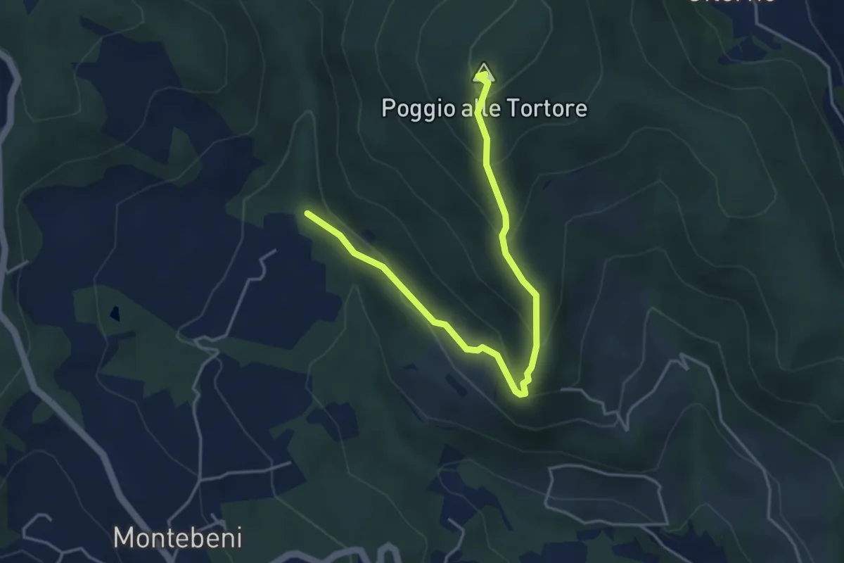
Demanding · Summit
Incrocio Sentiero 708 – Incrocio Sentiero 703
4.6 km · ↑ 273 m · 1 h 41 min · 8 km away
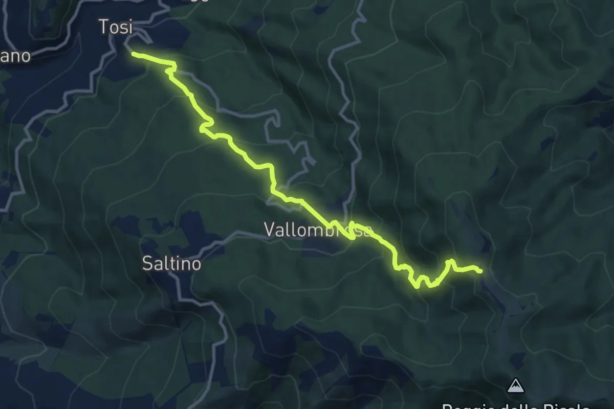
Demanding · Trail
Tosi – Secchieta
11.4 km · ↑ 886 m · 4 h 37 min · 8 km away
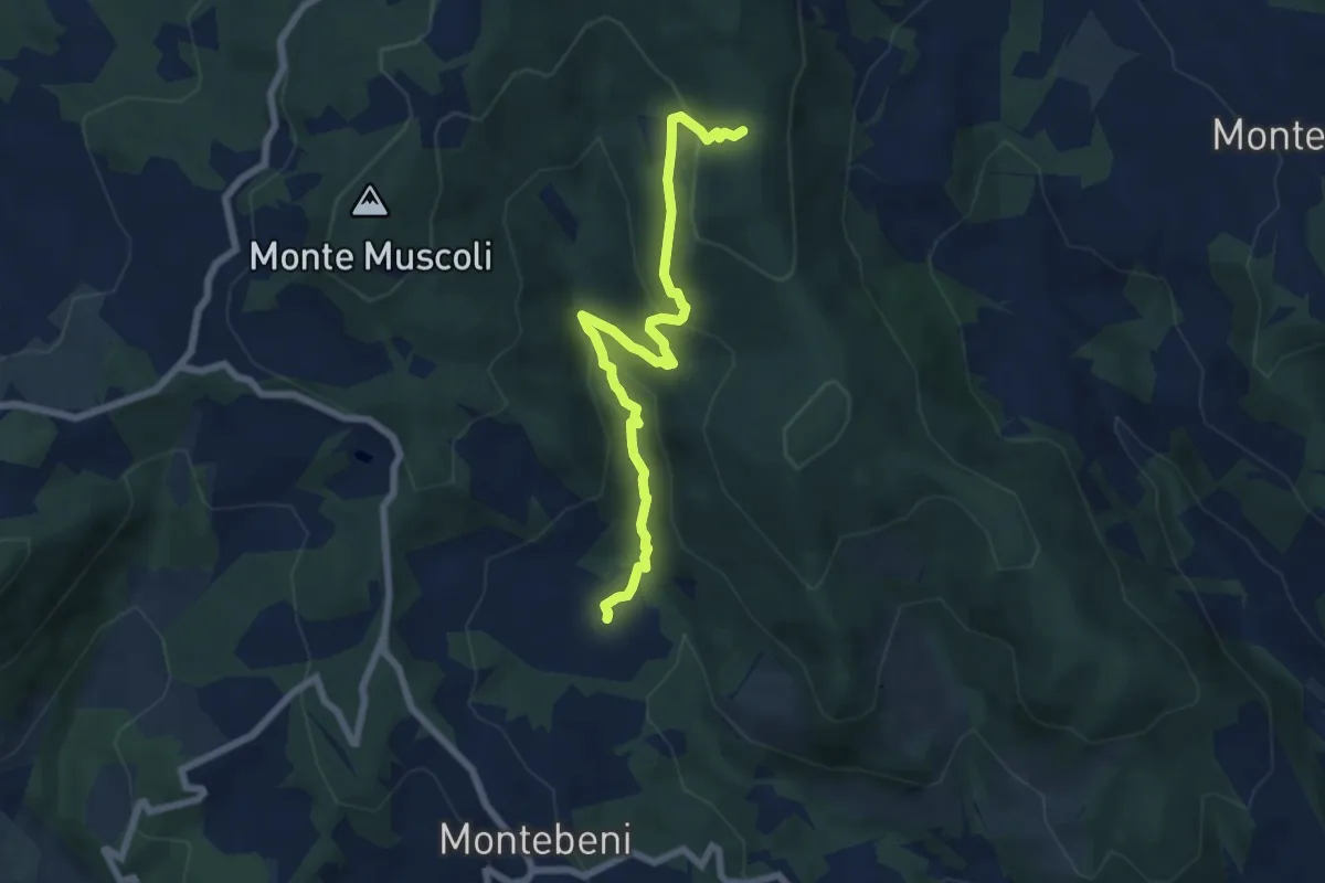
Medium · Trail
Ontignano – Casa le Sorti
7.2 km · ↑ 324 m · 2 h 24 min · 8 km away
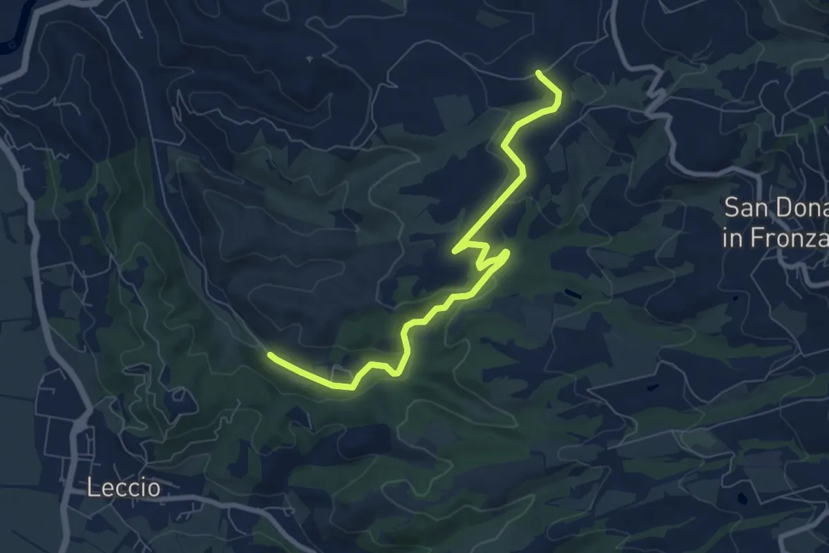
Medium · Trail
R22
8.1 km · ↑ 192 m · 2 h 20 min · 8 km away
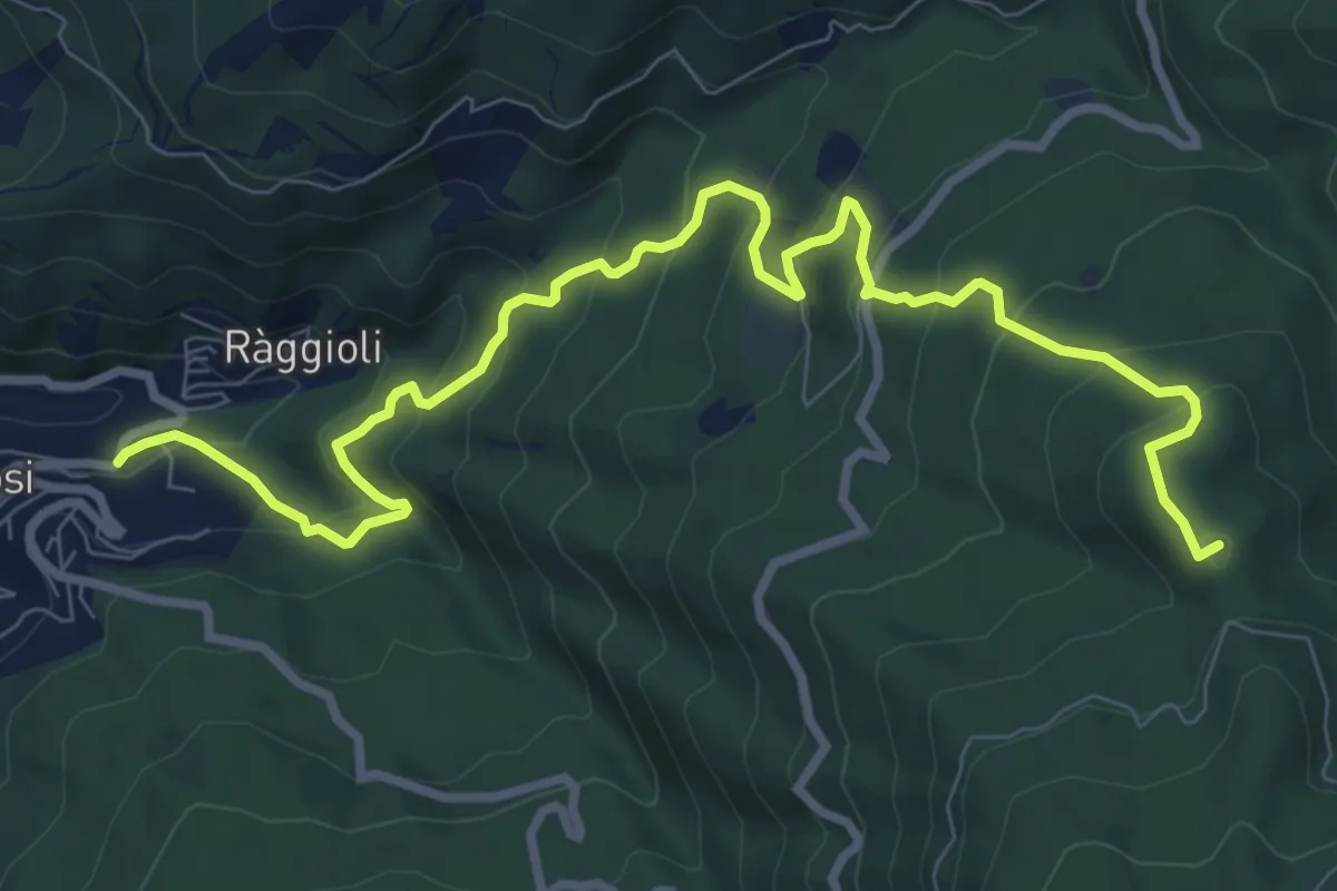
Medium · Summit
Tosi – Secchieta
11.1 km · ↑ 749 m · 4 h 15 min · 8 km away
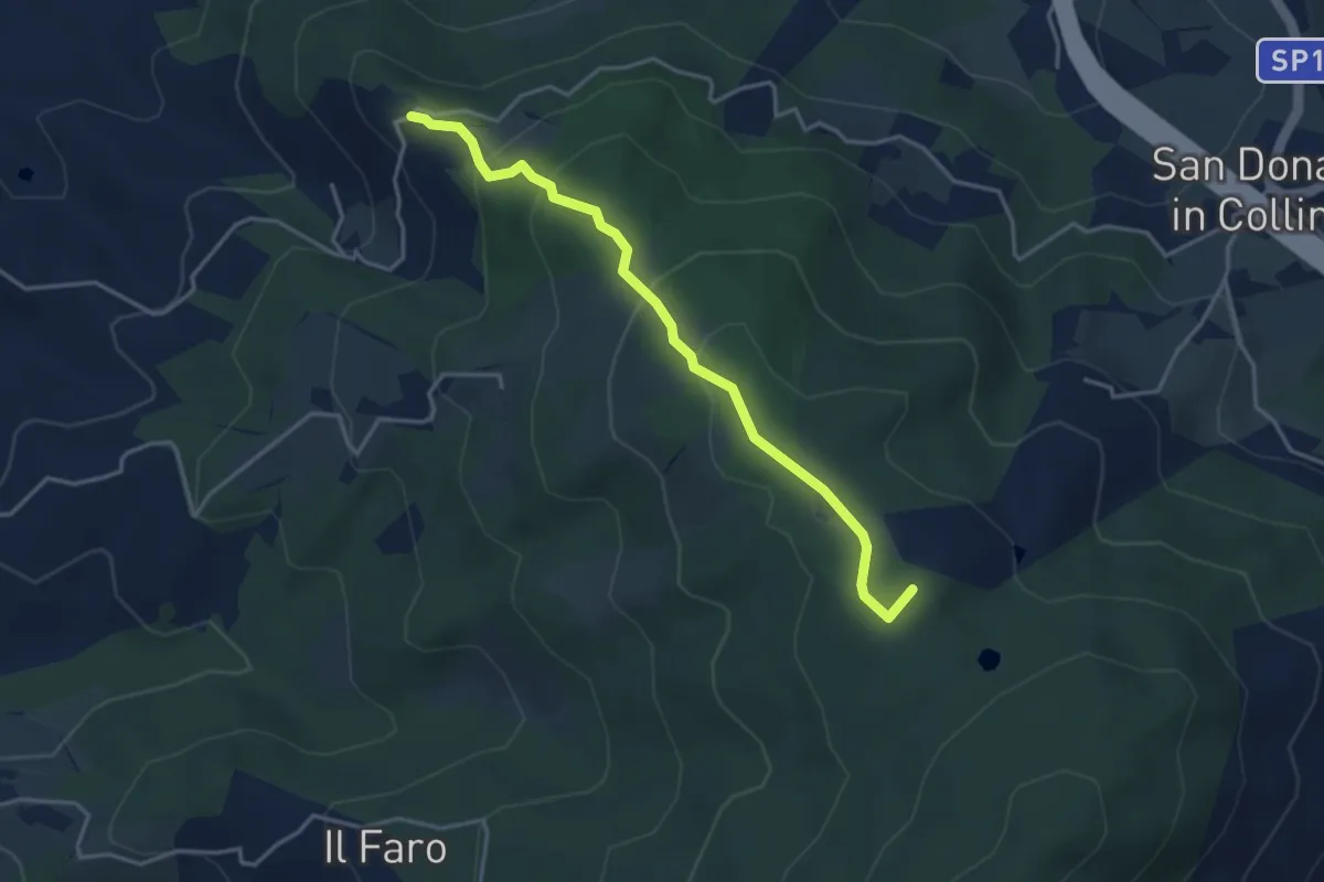
Easy · Summit
Montisoni – Poggio Piglie
4.0 km · ↑ 222 m · 1 h 25 min · 9 km away
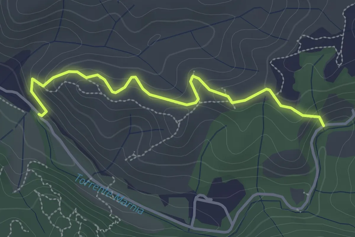
Easy · Trail
Itinerario R21 – Itinerario R22
3.2 km · ↑ 142 m · 1 h 4 min · 9 km away
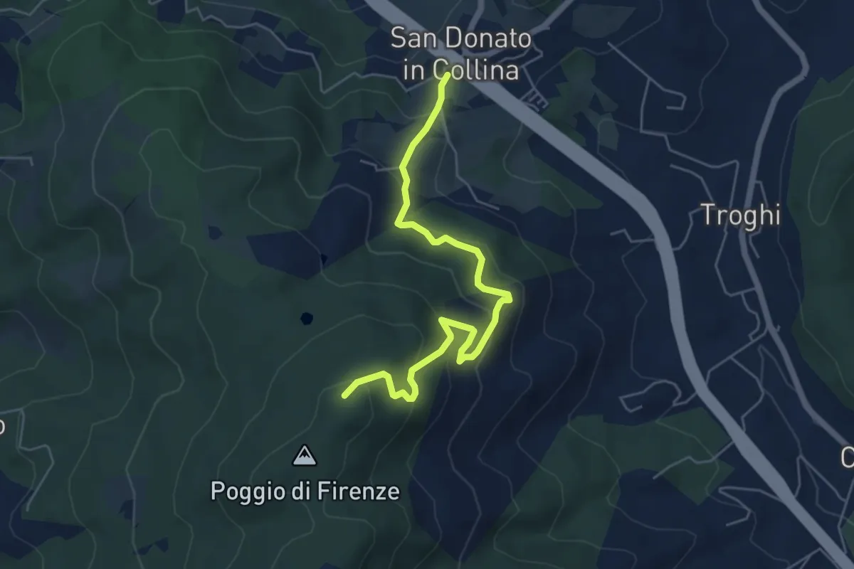
Medium · Trail
San Donato in Collina – Poggio di Firenze
5.9 km · ↑ 378 m · 2 h 13 min · 9 km away
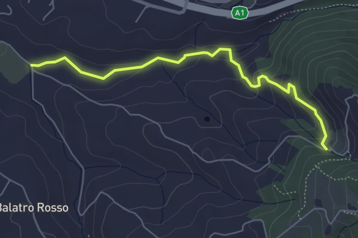
Easy · Trail
Antella – Montisoni
5.3 km · ↑ 184 m · 1 h 39 min · 9 km away
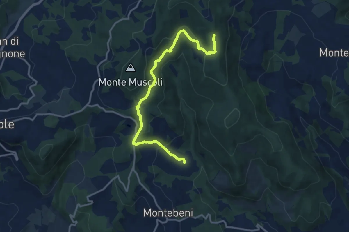
Medium · Trail
Ontignano – San Clemente
10.0 km · ↑ 413 m · 3 h 15 min · 9 km away
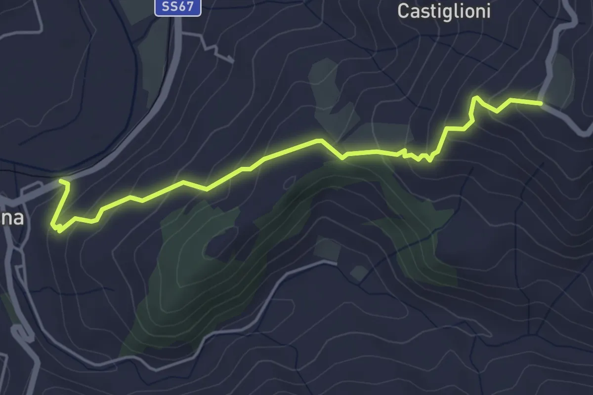
Easy · Trail
Sentiero della Memoria Variante
4.8 km · ↑ 305 m · 1 h 48 min · 9 km away
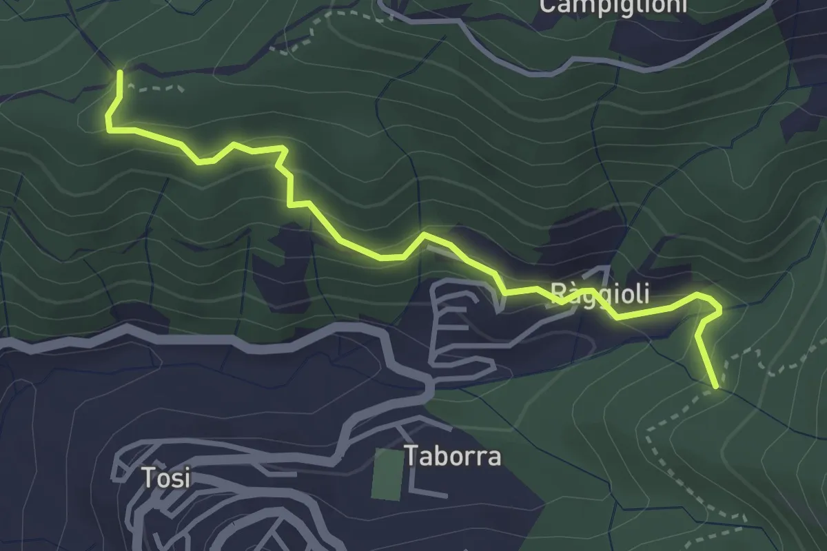
Easy · Trail
Raggioli – Incrocio Sentiero 206
3.6 km · ↑ 243 m · 1 h 22 min · 9 km away
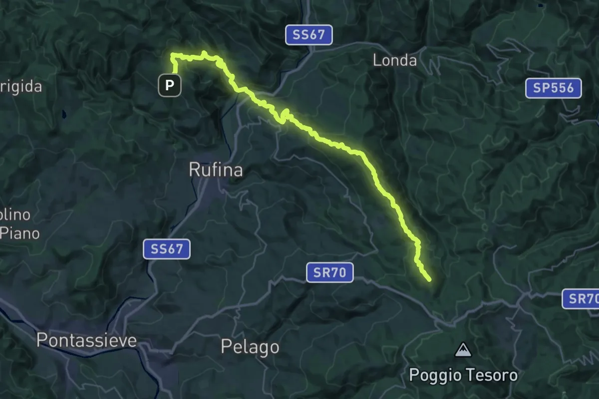
Demanding · Summit
Sorgenti di Firenze Trekking – Anello Principale: Tappa 6
33.9 km · ↑ 1682 m · 11 h 38 min · 9 km away
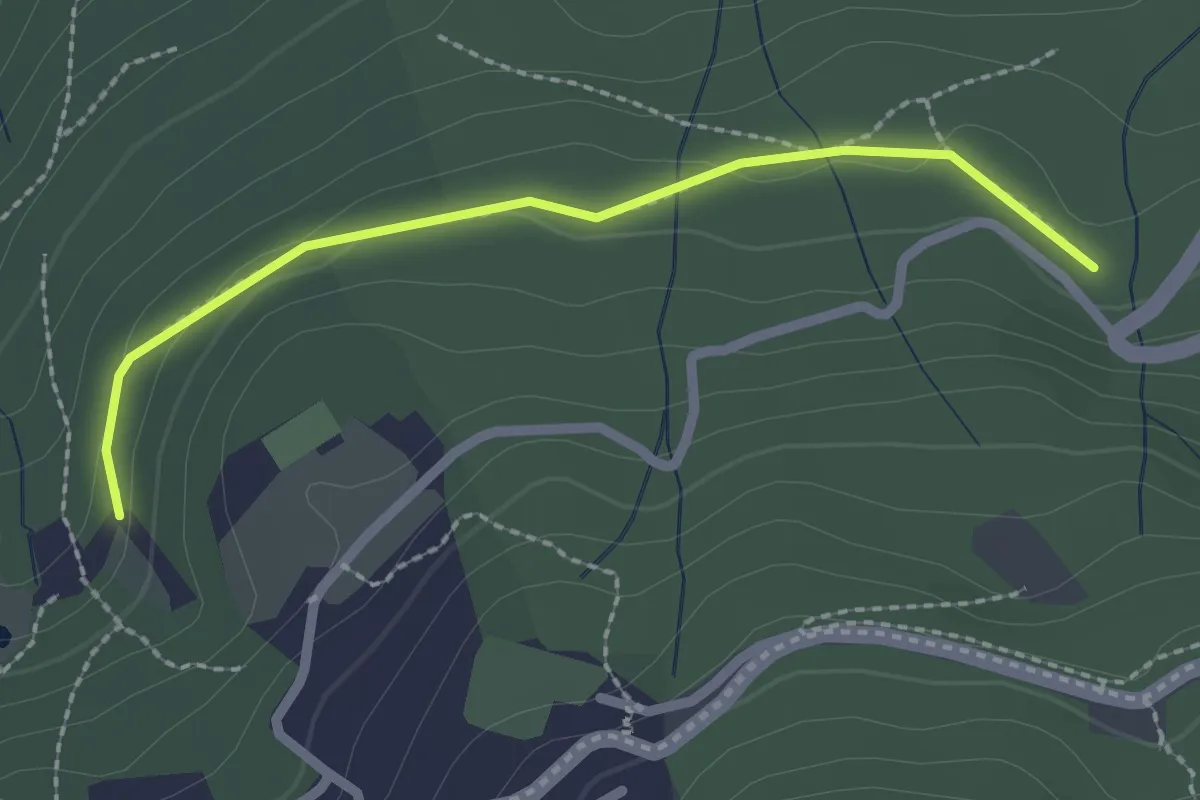
Easy · Trail
Il Vignale – S.P. 85
2.3 km · ↑ 42 m · 38 min · 9 km away
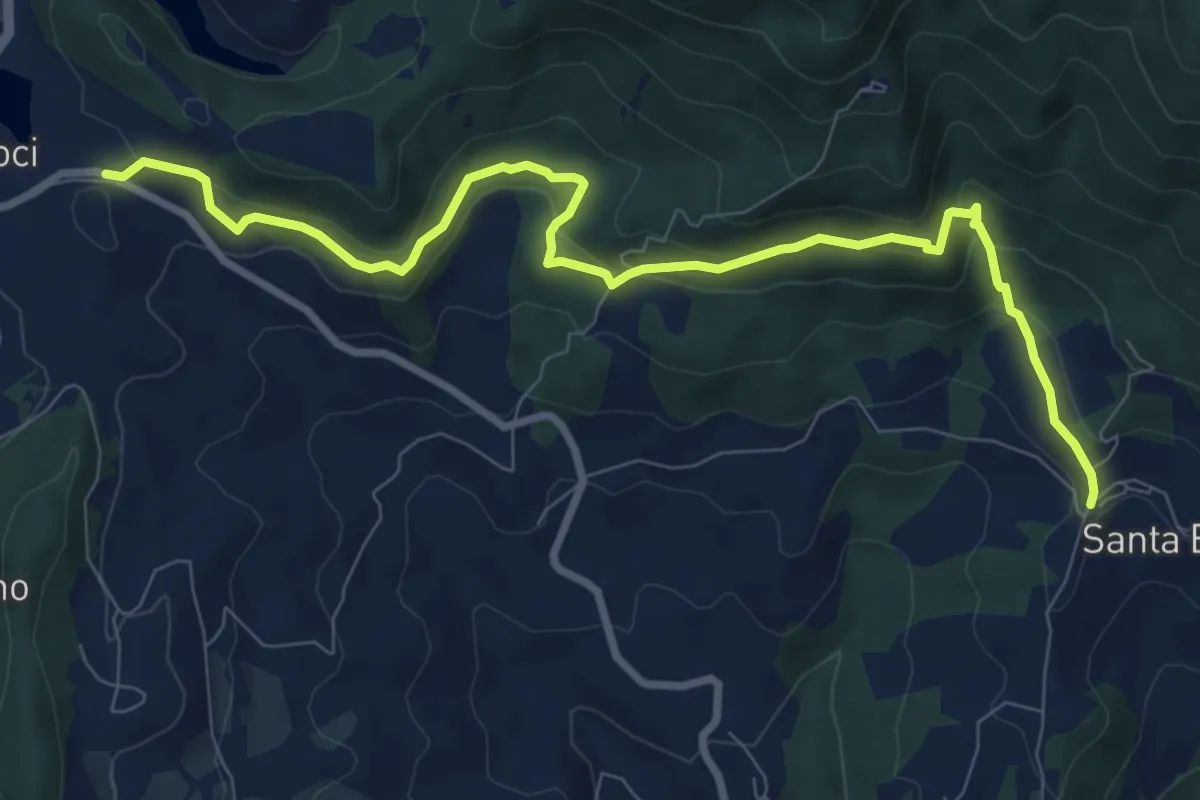
Medium · Trail
Le Lucole – Valico Alberaccio
10.3 km · ↑ 439 m · 3 h 23 min · 10 km away
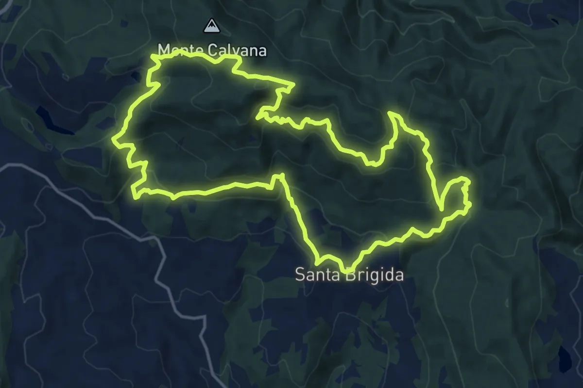
Demanding · Summit
Sentiero delle Burraie
15.7 km · ↑ 815 m · 5 h 41 min · 10 km away