Trails near Pontassieve
134 hikes starting within 15 km, nearest first.
Nearest first, page 2 of 3
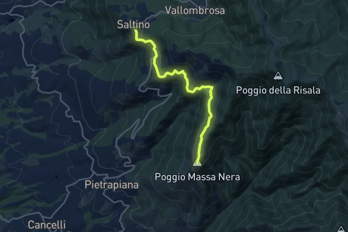
Medium · Summit
Saltino – Massanera
10.4 km · ↑ 462 m · 3 h 27 min · 10 km away
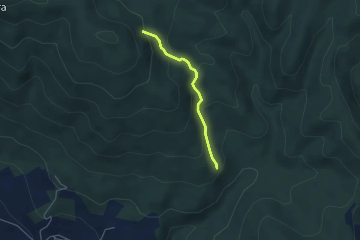
Medium · Trail
sentiero 209 (bivio sentiero 203A) – sentiero 209 (pressi cascina di Monterotondo)
2.9 km · ↑ 199 m · 1 h 6 min · 10 km away
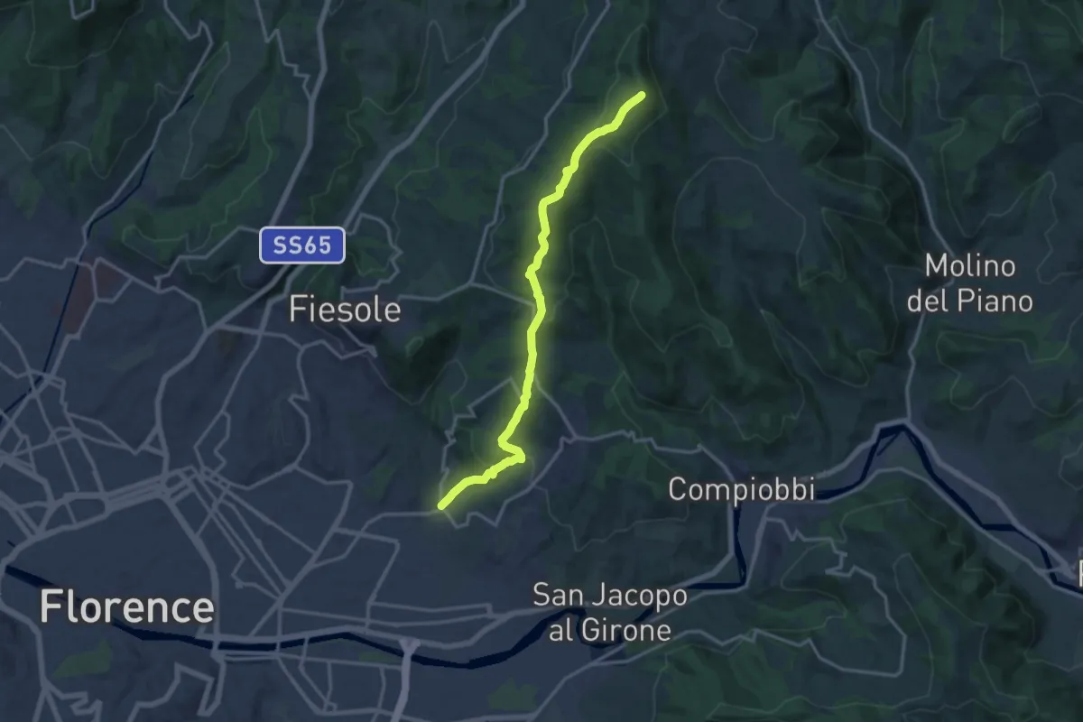
Medium · Summit
Ponte a Mensola – Vetta le Croci
15.2 km · ↑ 644 m · 4 h 59 min · 10 km away
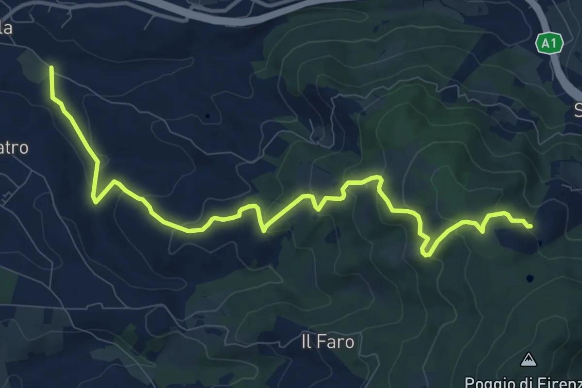
Medium · Trail
Antella – Poggio Piglie
11.5 km · ↑ 524 m · 3 h 51 min · 10 km away
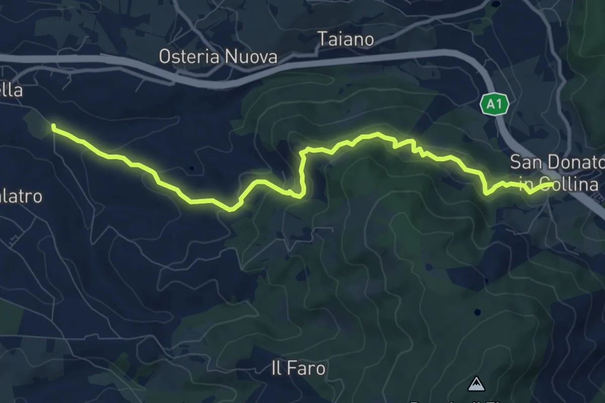
Medium · Trail
Antella – San Donato in Collina
10.9 km · ↑ 473 m · 3 h 35 min · 10 km away
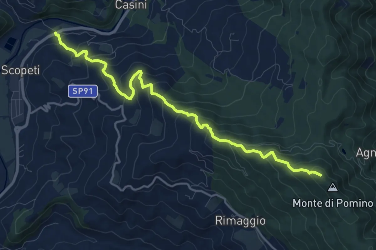
Medium · Trail
Scopeti – Monte di Pomino sent. 215
11.7 km · ↑ 747 m · 4 h 23 min · 10 km away
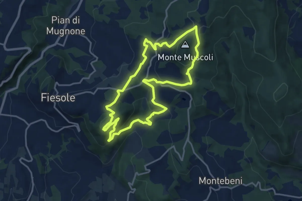
Medium · Summit
Fiesole – Fiesole
9.6 km · ↑ 409 m · 3 h 17 min · 10 km away
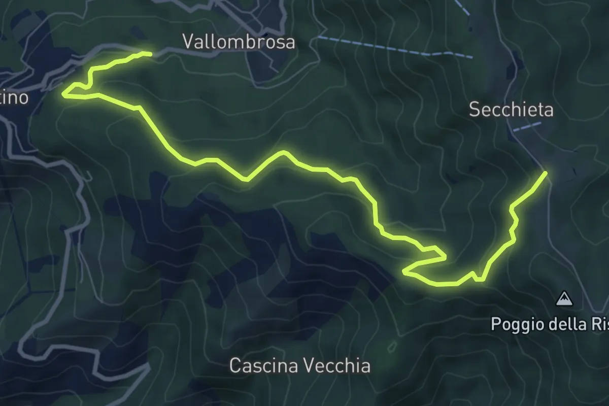
Medium · Trail
Vallombrosa – Secchieta
10.2 km · ↑ 503 m · 3 h 30 min · 10 km away
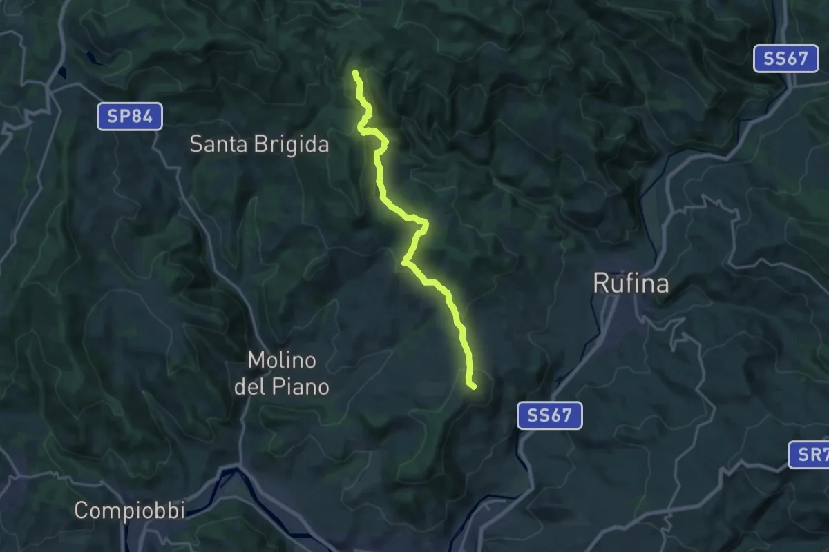
Medium · Summit
Pontassieve – sentiero 206 Croce di Aceraia
17.5 km · ↑ 529 m · 5 h 17 min · 10 km away
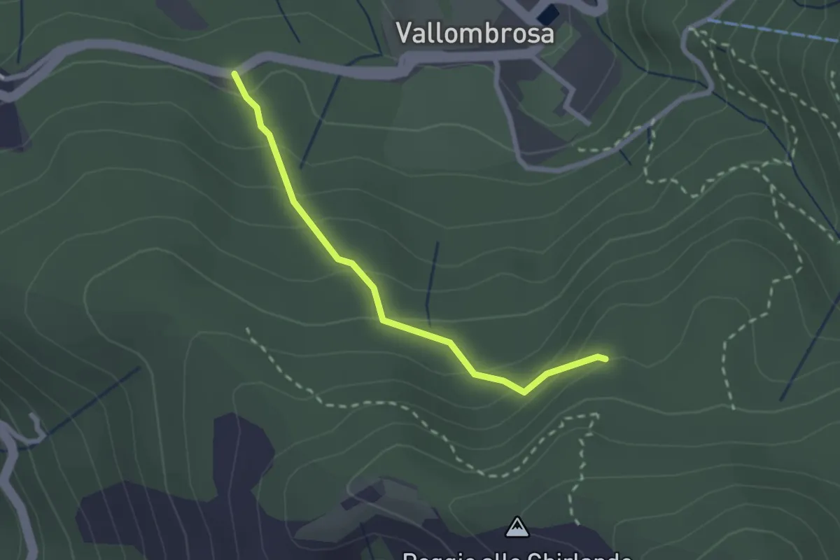
Easy · Trail
Vallombrosa – Secchieta
2.2 km · ↑ 179 m · 55 min · 10 km away
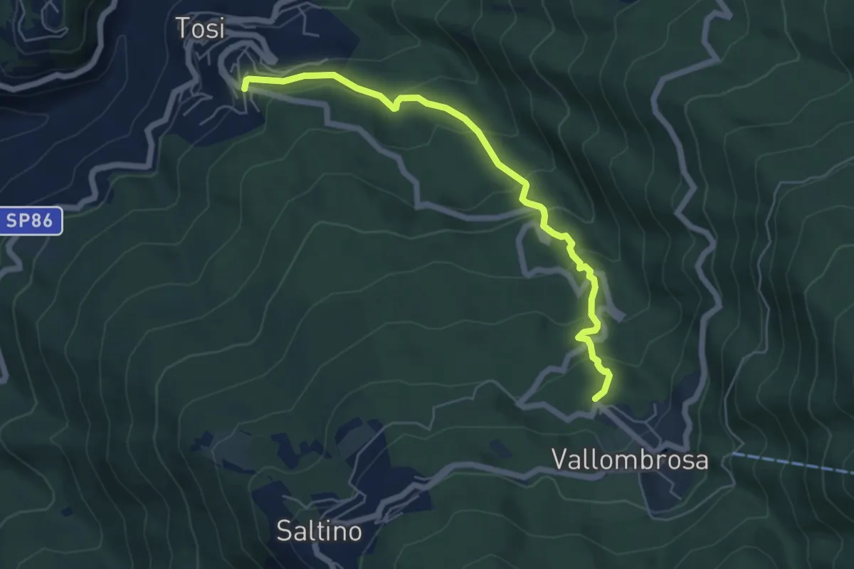
Medium · Trail
Tosi - Pian di Melosa – Vallombrosa
6.0 km · ↑ 368 m · 2 h 12 min · 10 km away
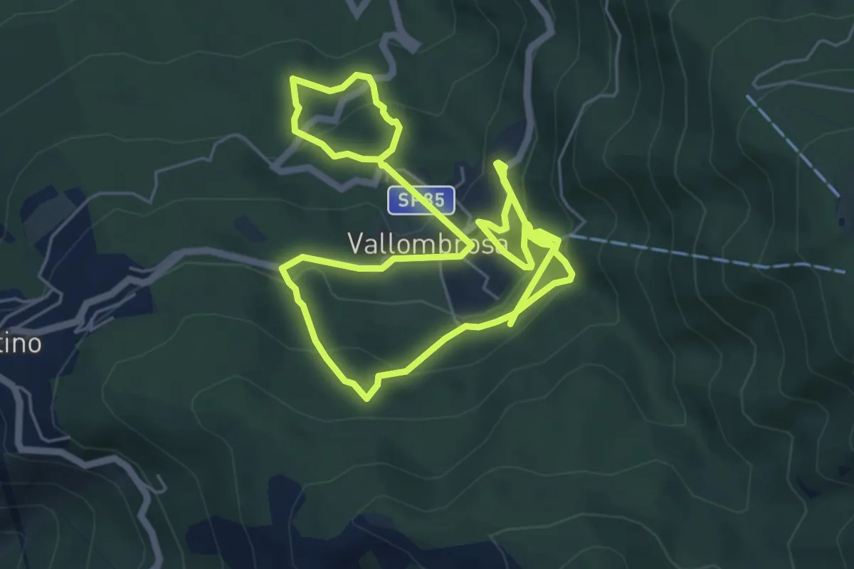
Medium · Trail
Circuito delle Cappelle di Vallombrosa
10.9 km · ↑ 645 m · 3 h 58 min · 10 km away
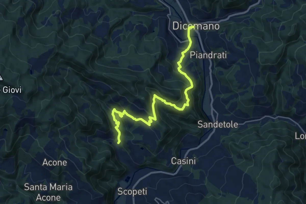
Demanding · Trail
Molino di Uscioli – Dicomano
17.2 km · ↑ 910 m · 6 h 3 min · 11 km away
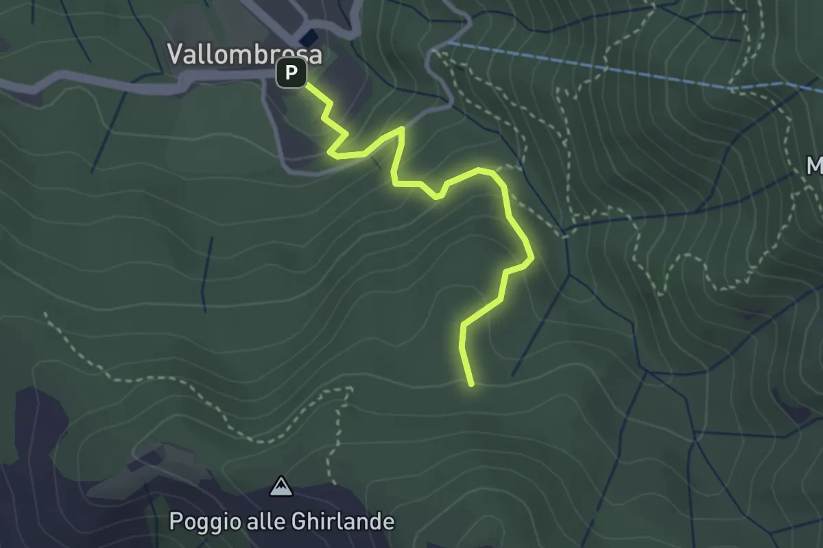
Easy · Trail
Vallombrosa – Secchieta
2.9 km · ↑ 237 m · 1 h 12 min · 11 km away
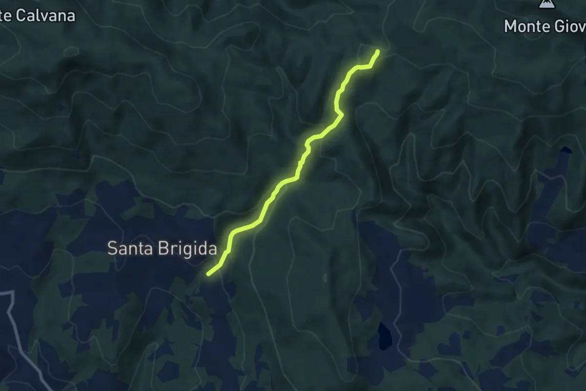
Medium · Trail
Santa Brigida – sentiero 00 (pressi valico di Aceraia)
6.9 km · ↑ 345 m · 2 h 23 min · 11 km away
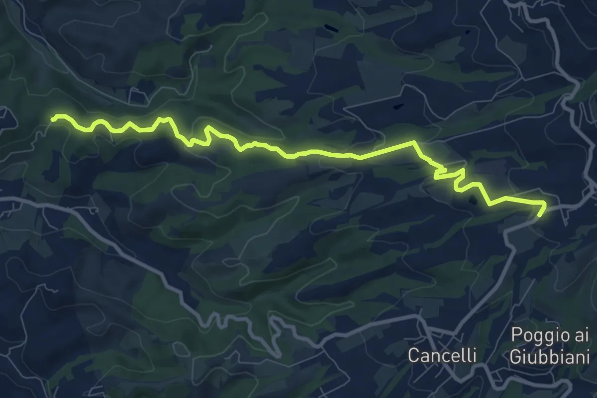
Medium · Trail
Itinerario R21 – Sant'Agata
9.6 km · ↑ 272 m · 2 h 52 min · 11 km away
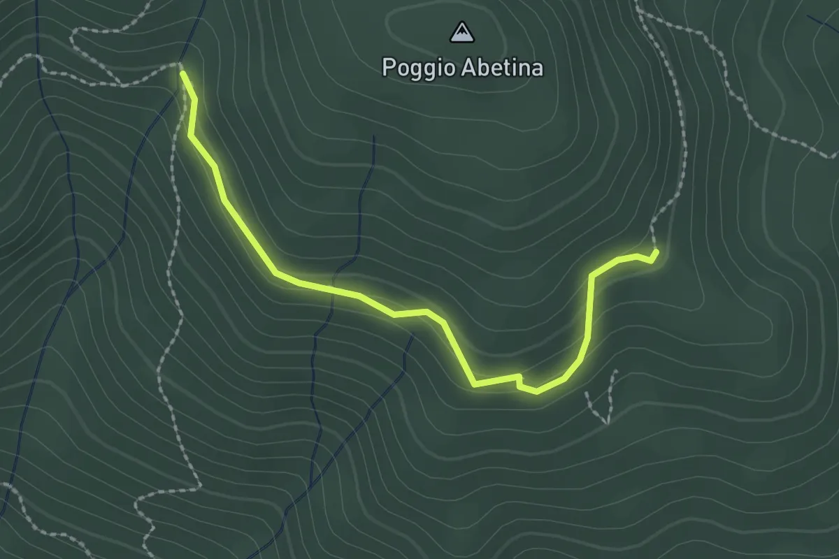
Easy · Trail
sentiero 205 – sentiero 209 (pressi area di sosta Fontassenzio)
2.4 km · ↑ 98 m · 46 min · 11 km away
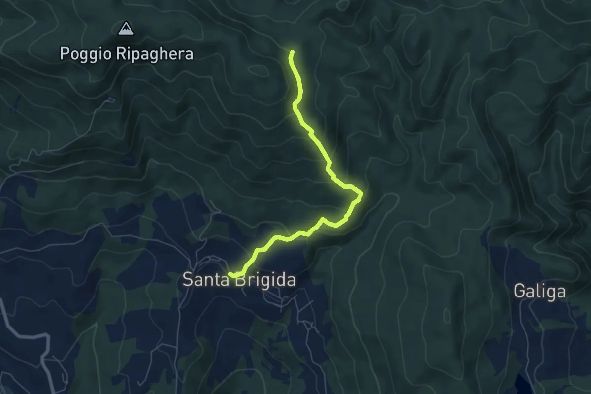
Medium · Trail
Santa Brigida – Cascina di Monterotondo (Percorso 00)
6.2 km · ↑ 366 m · 2 h 15 min · 11 km away
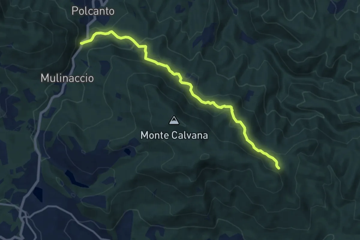
Medium · Trail
Polcanto – Monte Rotondo
10.5 km · ↑ 453 m · 3 h 28 min · 11 km away
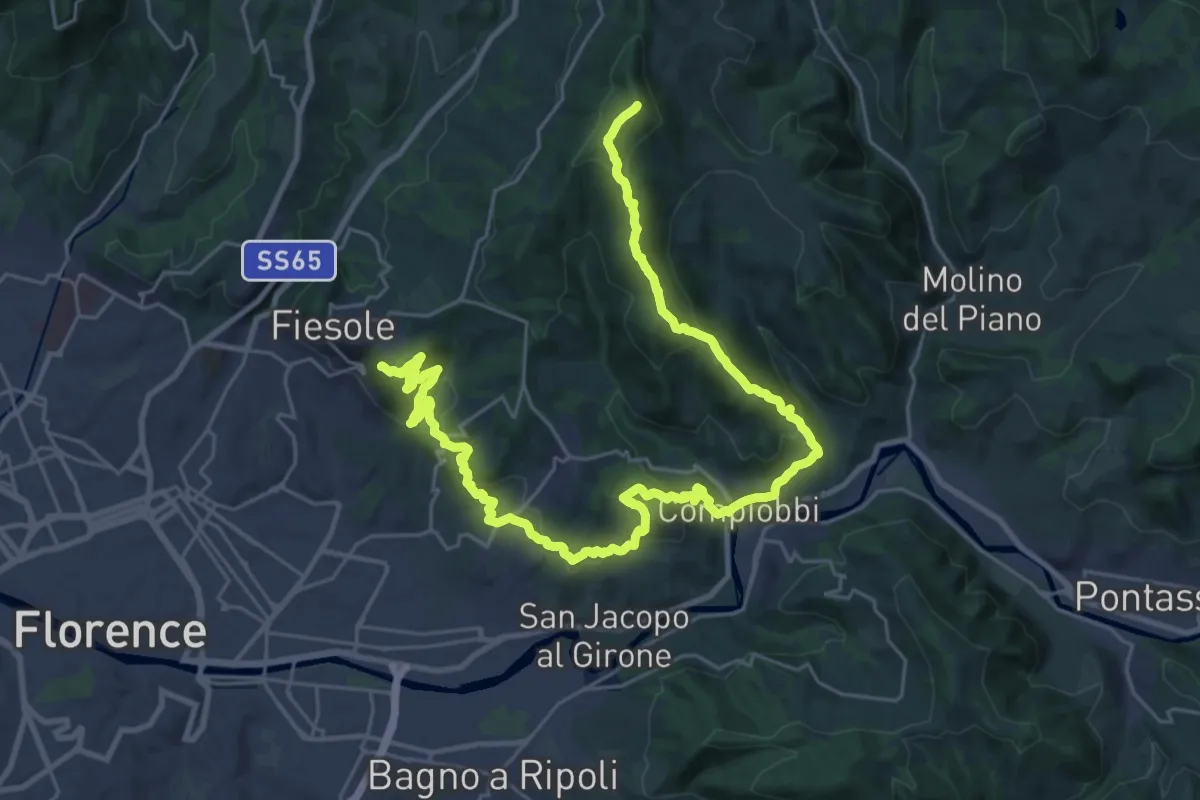
Demanding · Summit
Olmo – Fiesole
37.8 km · ↑ 1561 m · 12 h 18 min · 11 km away
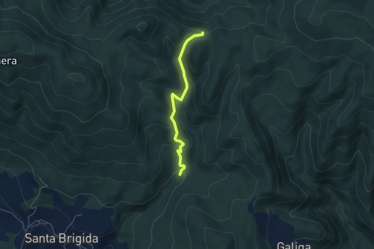
Easy · Trail
La Violana (Percorso 206) – Case Tagliaferro (Percorso 00)
4.3 km · ↑ 186 m · 1 h 25 min · 11 km away
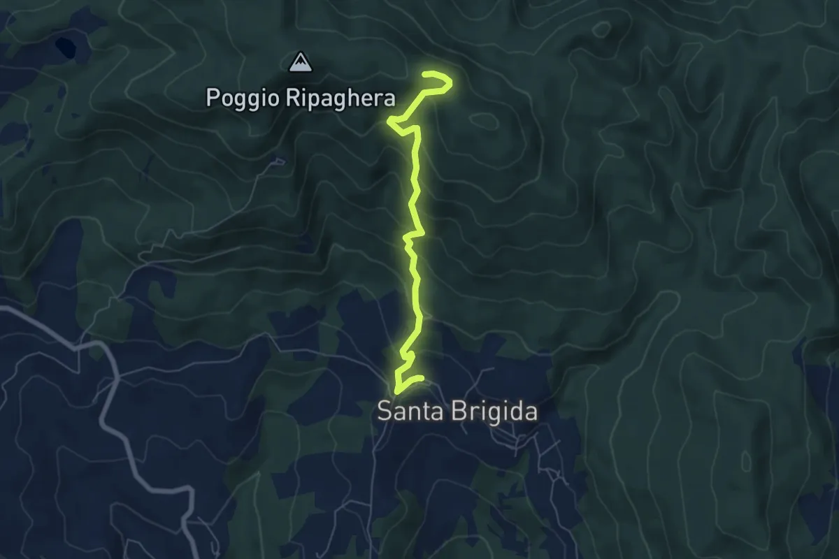
Medium · Trail
Santa Brigida – Il Giogo (Percorso 00)
5.9 km · ↑ 484 m · 2 h 27 min · 11 km away
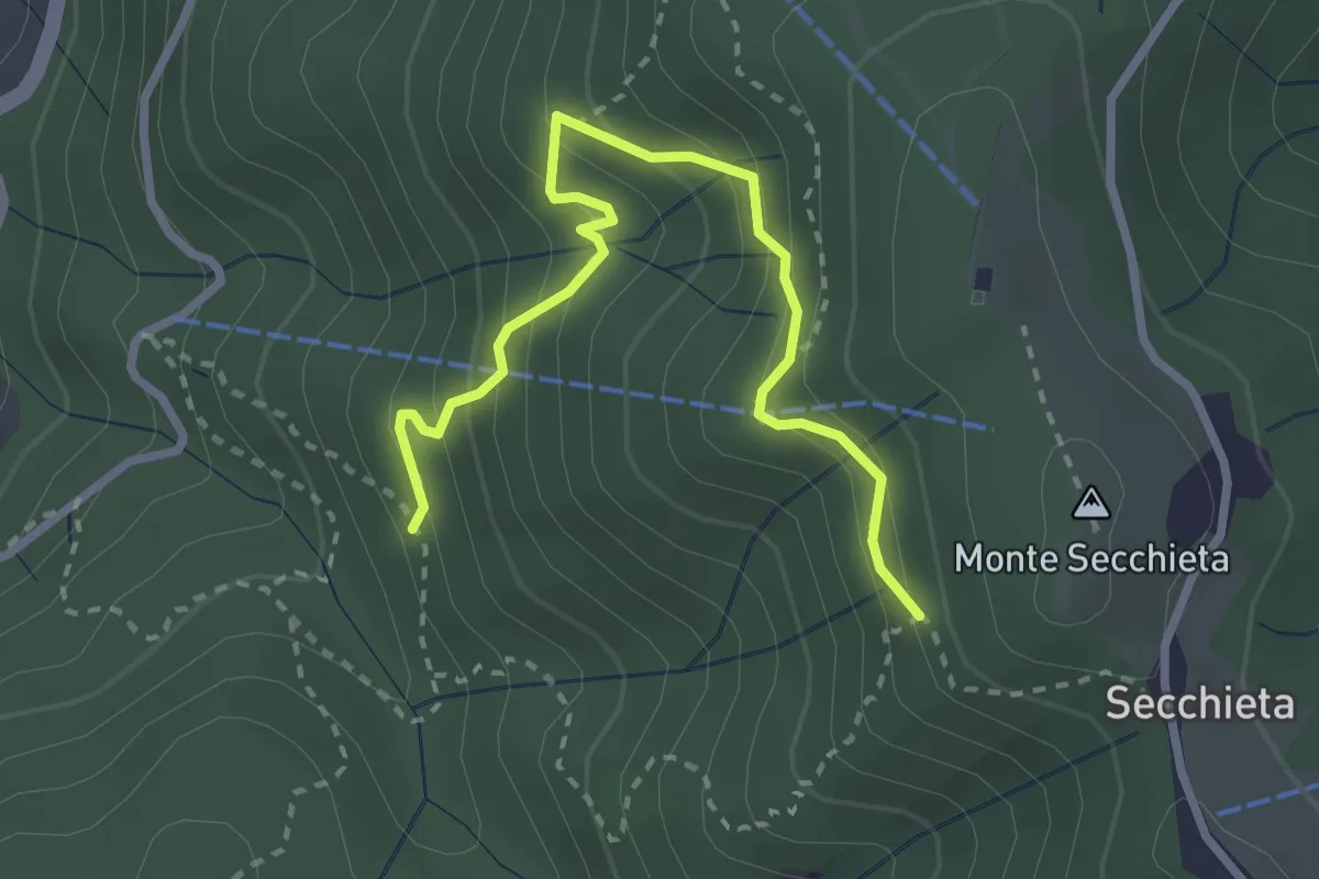
Medium · Trail
Vallombrosa – Secchieta
3.2 km · ↑ 304 m · 1 h 25 min · 11 km away
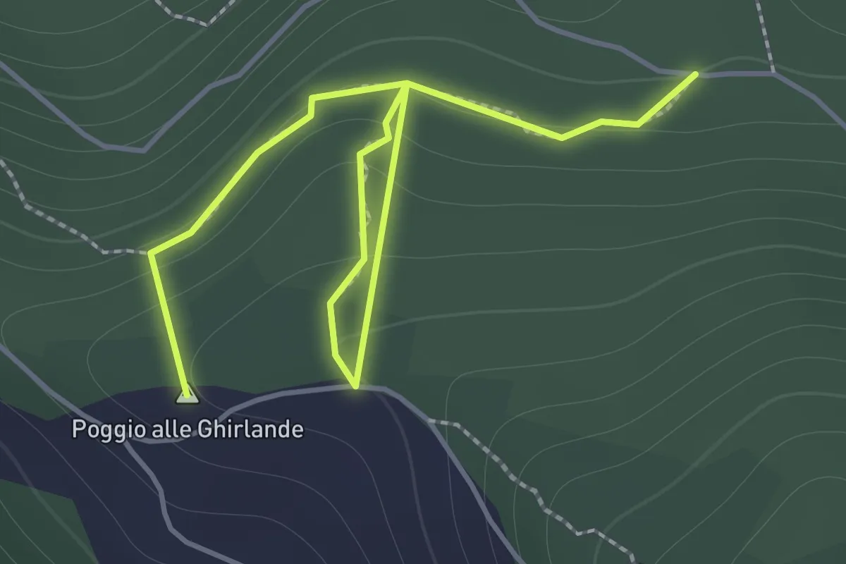
Easy · Summit
Sentieri 911, 912 – Sentiero 913
2.2 km · ↑ 152 m · 51 min · 11 km away
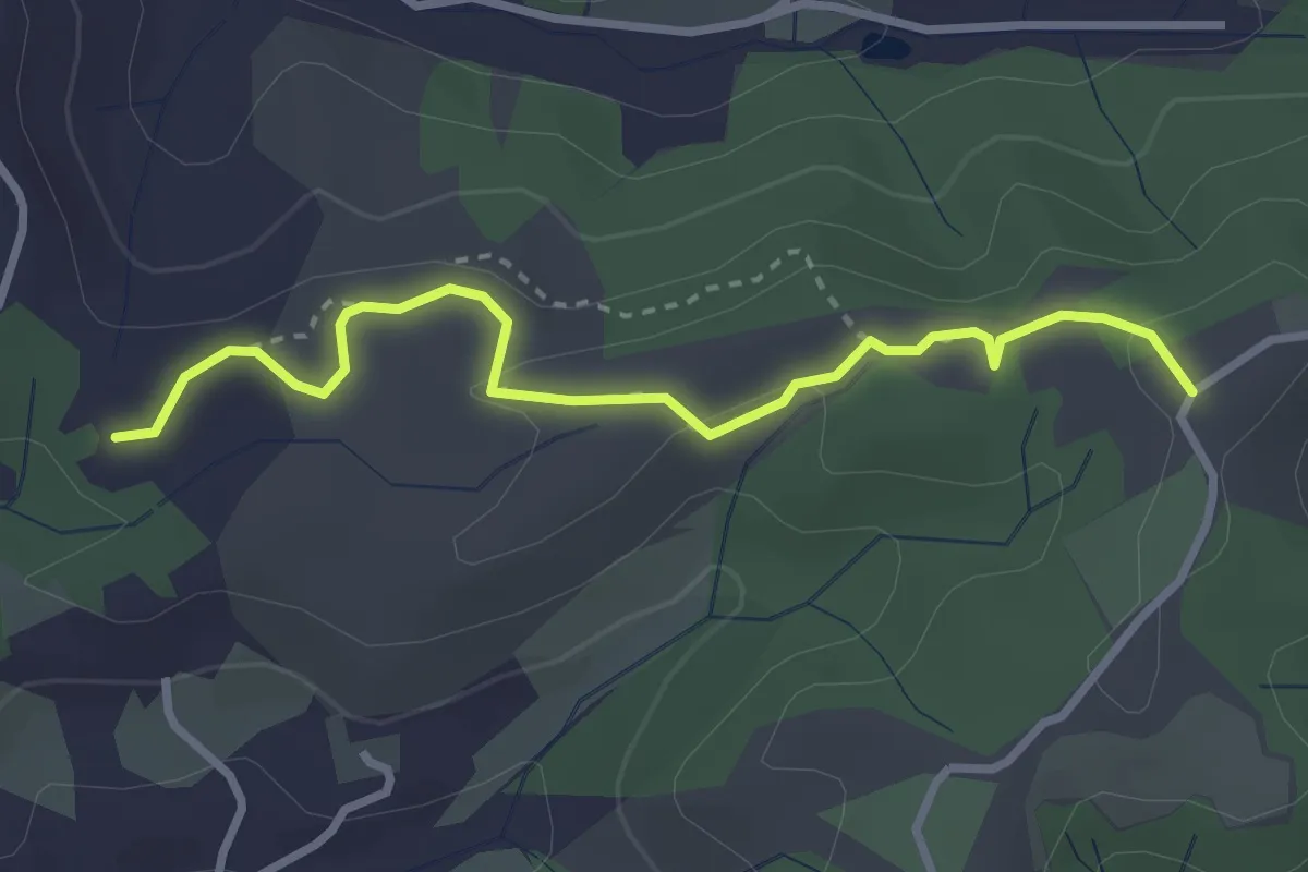
Easy · Trail
Cimitero di Rota – itinerario R24
3.3 km · ↑ 73 m · 56 min · 11 km away
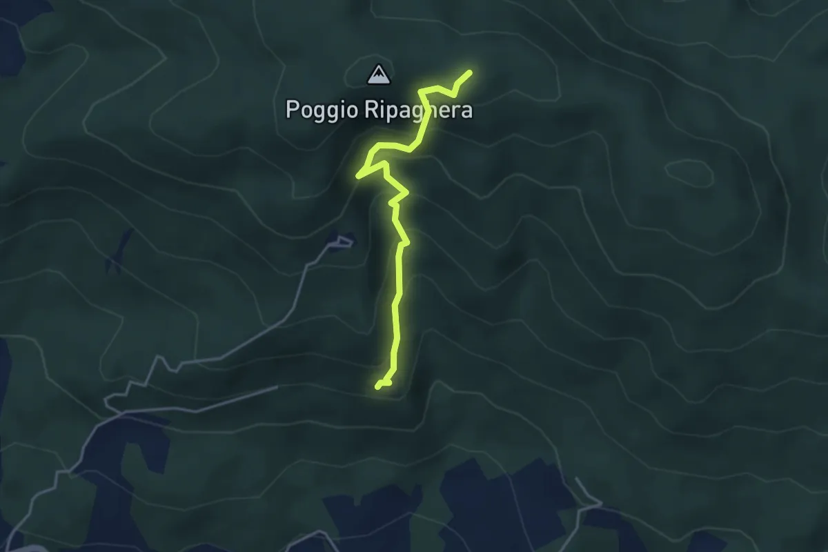
Medium · Trail
Madonna del Sasso – sentiero 00 (il Giogo)
3.6 km · ↑ 325 m · 1 h 33 min · 12 km away
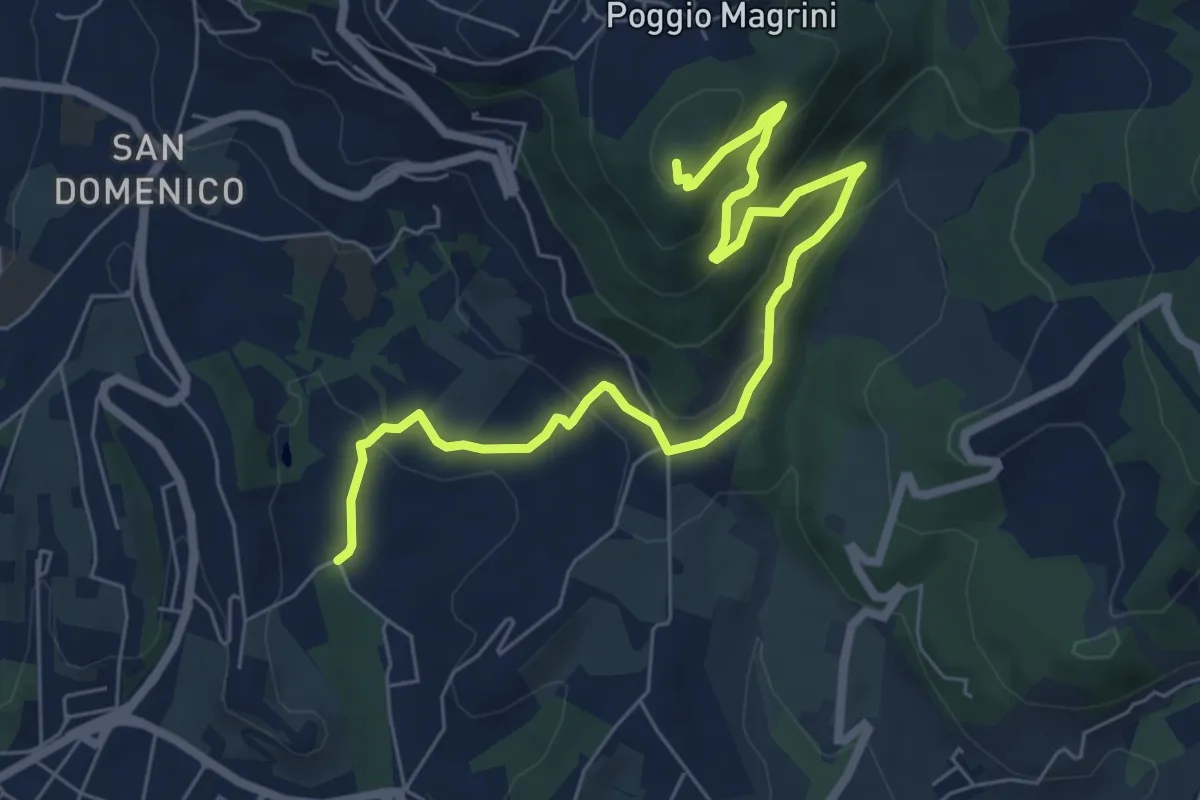
Medium · Summit
Salviatino – Monte Ceceri
8.2 km · ↑ 388 m · 2 h 46 min · 12 km away
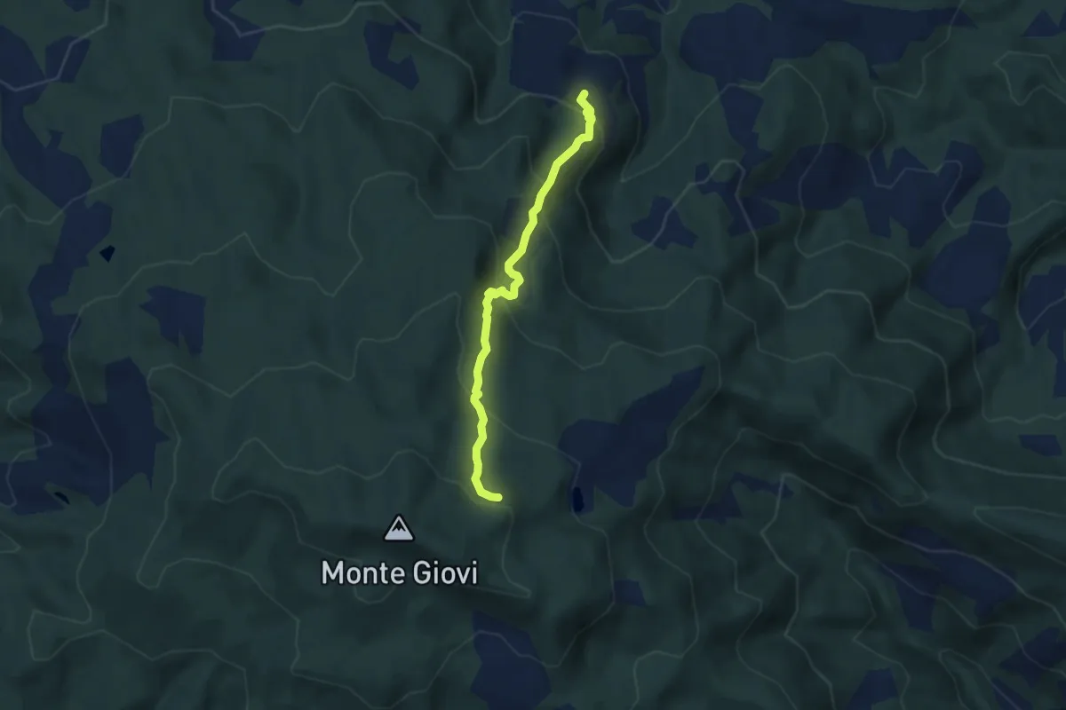
Demanding · Trail
Padulivo – Monte Giovi
5.8 km · ↑ 435 m · 2 h 19 min · 12 km away
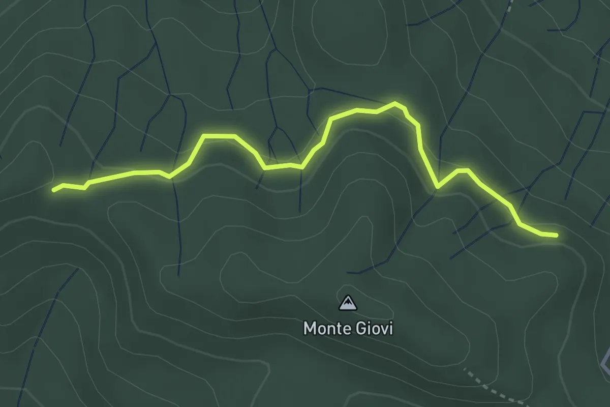
Easy · Trail
varco Casa Cerro – monumento Brigate Partigiane
3.5 km · ↑ 121 m · 1 h 6 min · 12 km away
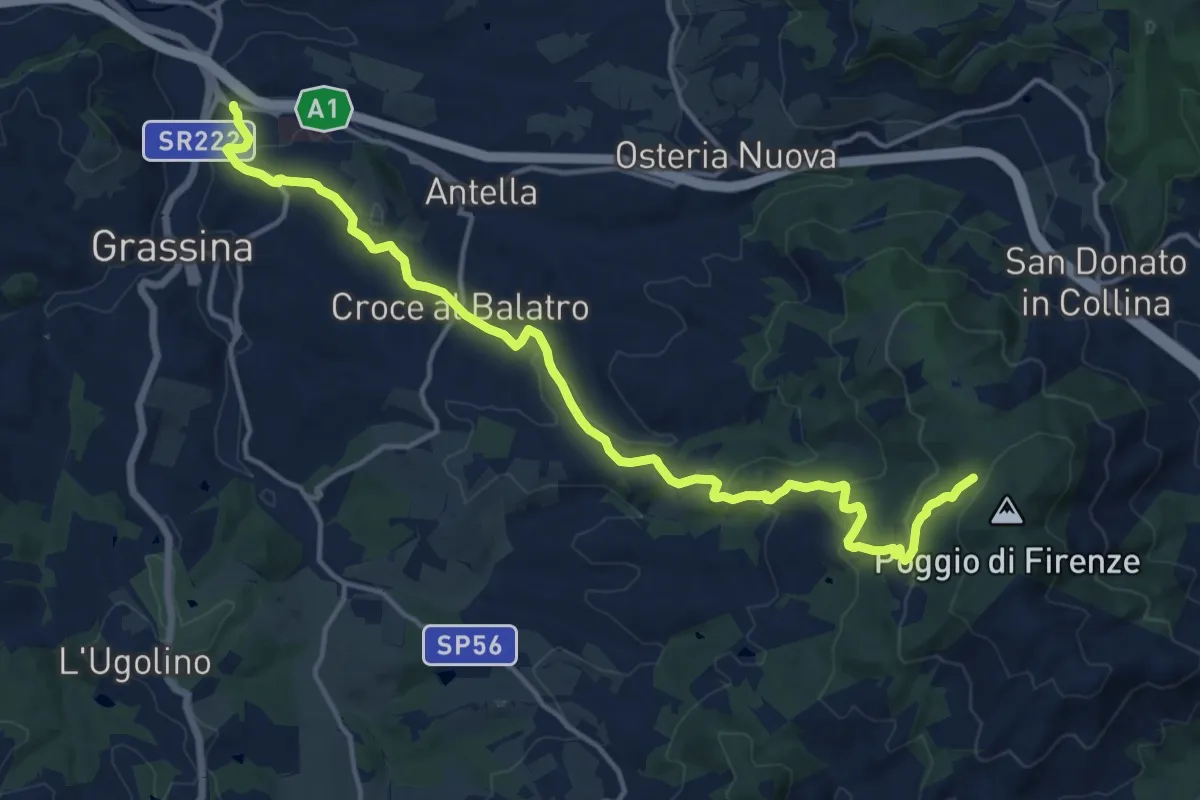
Demanding · Cabin
Ponte a Ema – Sorgente Fonte Santa
18.1 km · ↑ 559 m · 5 h 30 min · 12 km away
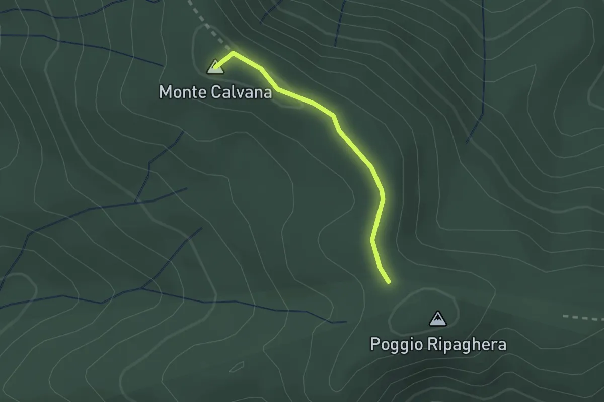
Easy · Summit
Ripaghera – Innesto sentiero 3A
1.8 km · ↑ 19 m · 27 min · 12 km away
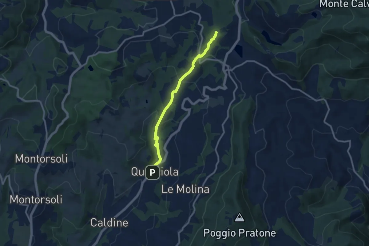
Medium · Summit
La Querciola – Poggio Capanne
7.7 km · ↑ 370 m · 2 h 37 min · 12 km away
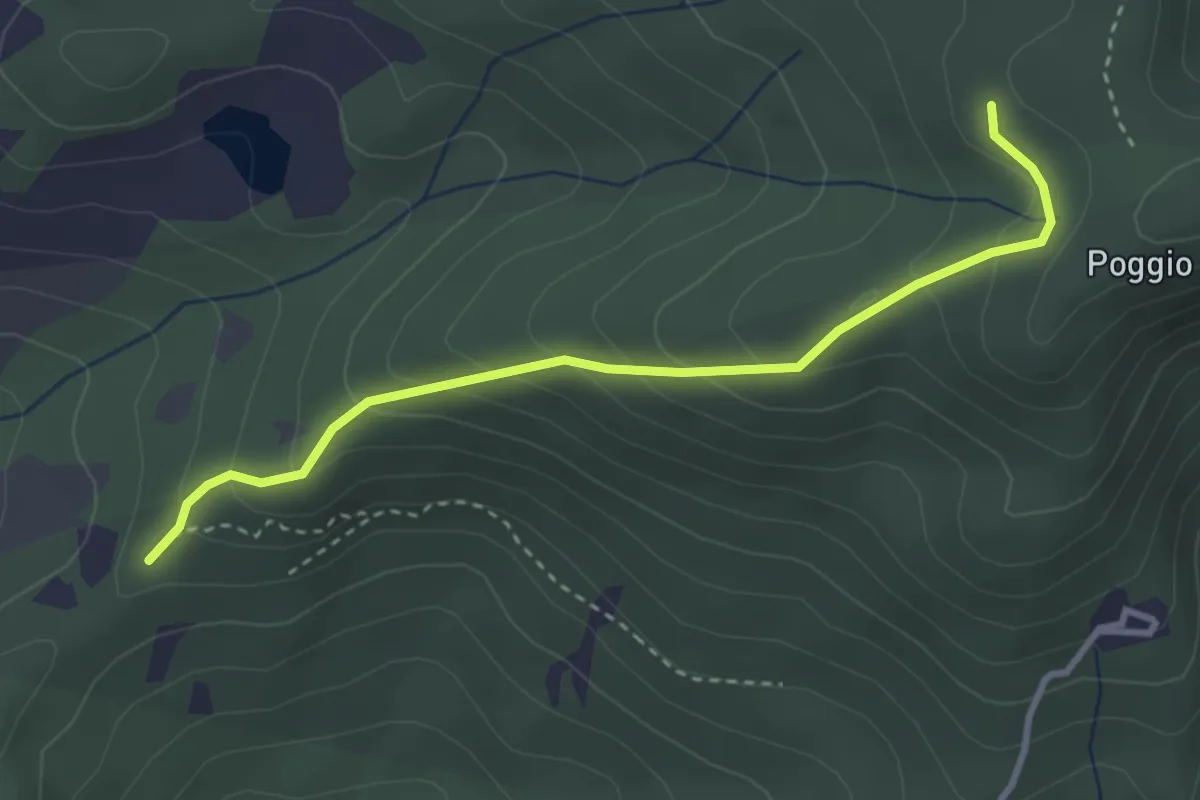
Easy · Trail
sentiero 00 (pressi Pratellino) – Sentiero 00
3.5 km · ↑ 255 m · 1 h 23 min · 12 km away
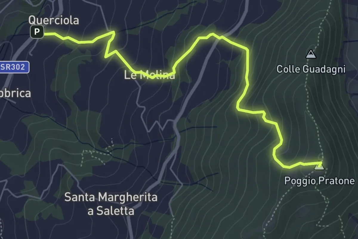
Medium · Summit
Cammino dell'acqua di Montereggi
6.8 km · ↑ 478 m · 2 h 39 min · 12 km away
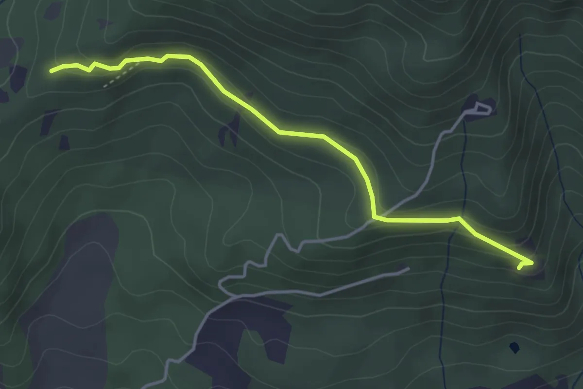
Easy · Trail
Madonna del Sasso – Sentiero 204, nei pressi di Pratellino
4.0 km · ↑ 119 m · 1 h 12 min · 12 km away
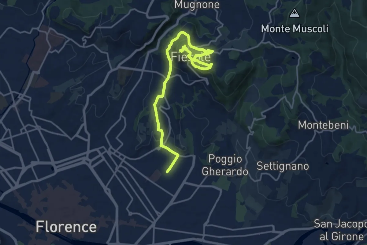
Medium · Summit
Tappa 7 - Da Firenze a Fiesole
15.1 km · ↑ 507 m · 4 h 39 min · 12 km away
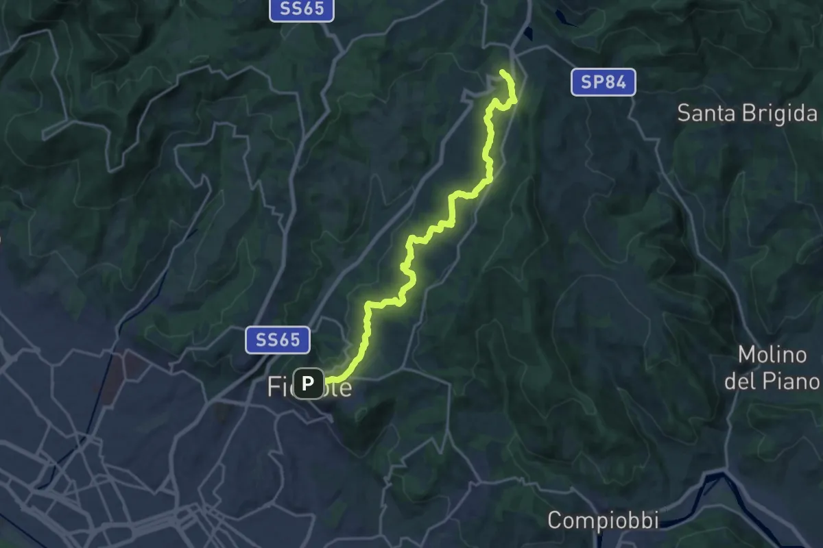
Demanding · Trail
Fiesole – Sentiero 00
19.7 km · ↑ 654 m · 6 h 4 min · 12 km away
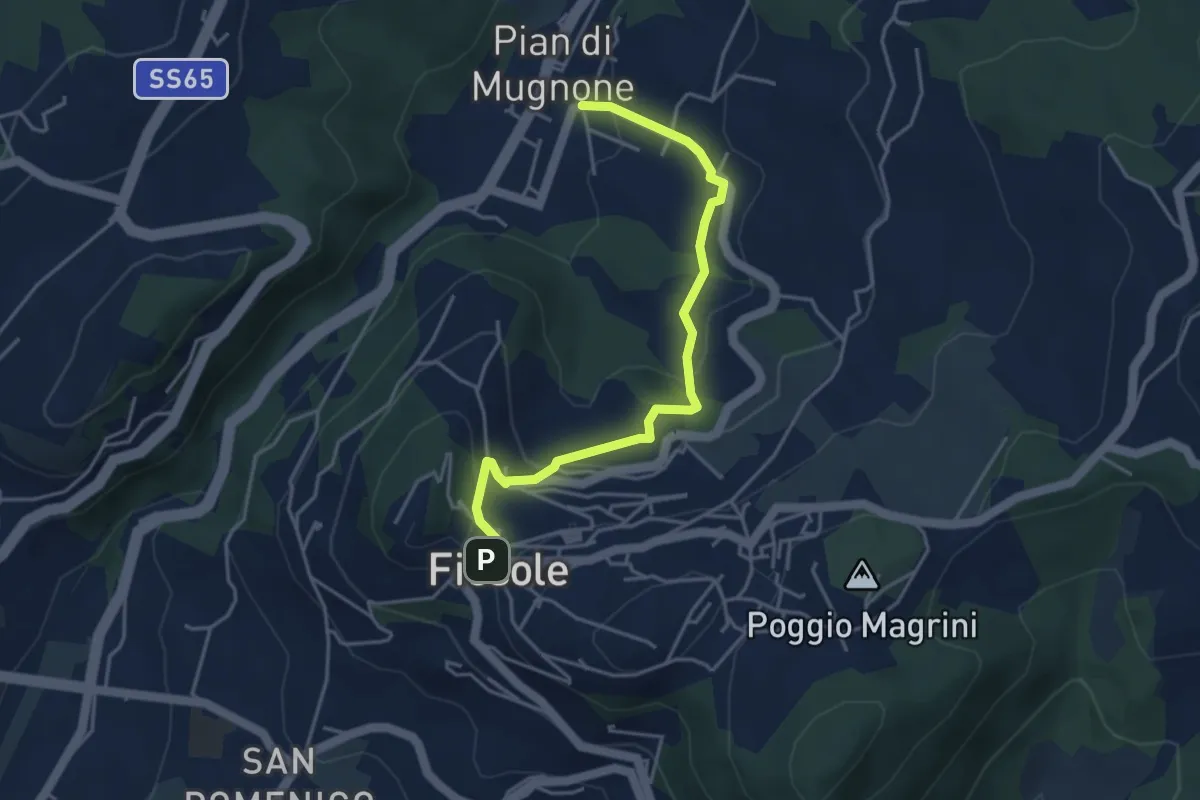
Easy · Trail
Fiesole – Indicatorio
4.4 km · ↑ 177 m · 1 h 26 min · 12 km away
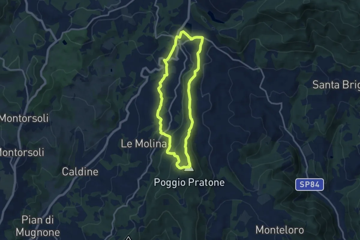
Medium · Summit
Olmo – Olmo
9.0 km · ↑ 359 m · 3 h 2 min · 12 km away
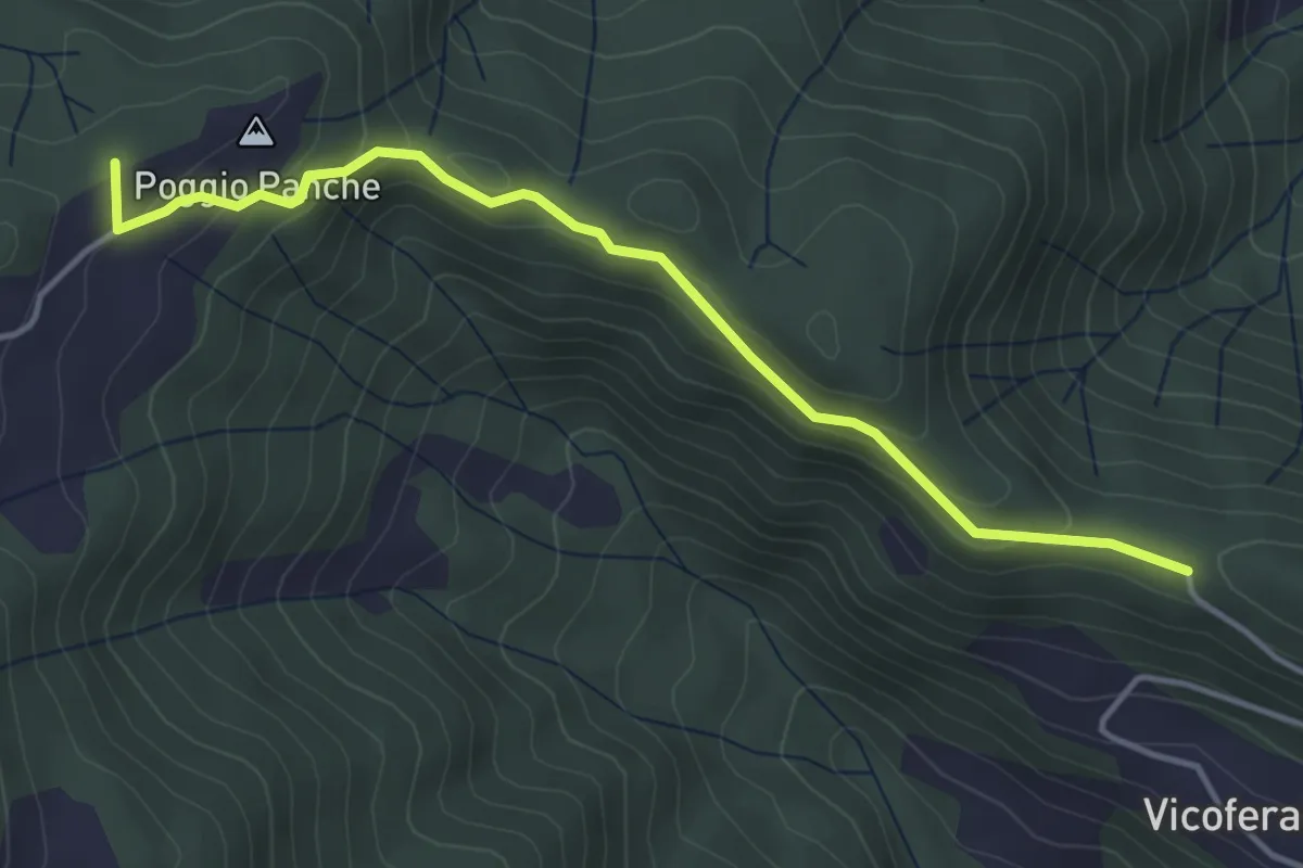
Easy · Summit
Sorgenti di Firenze Trekking – Anello 4: Architetture rurali e campagna toscana
4.4 km · ↑ 174 m · 1 h 25 min · 12 km away
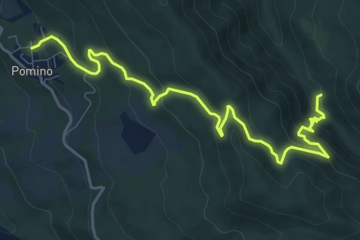
Medium · Trail
Guado – v. delle svolte
9.5 km · ↑ 519 m · 3 h 22 min · 12 km away
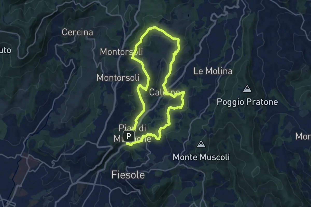
Medium · Summit
Pian di Mugnone – Pian di Mugnone
13.3 km · ↑ 432 m · 4 h 16 min · 12 km away
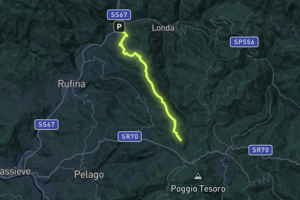
Demanding · Summit
Contea – Consuma
22.4 km · ↑ 1140 m · 7 h 45 min · 12 km away
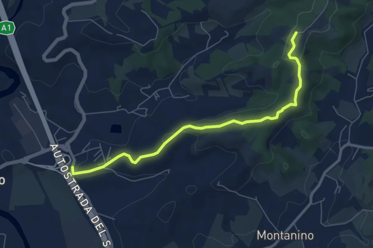
Easy · Trail
Poggio Alberti / Cetina – Itinerario R24 / Tegna
6.4 km · ↑ 118 m · 1 h 46 min · 12 km away
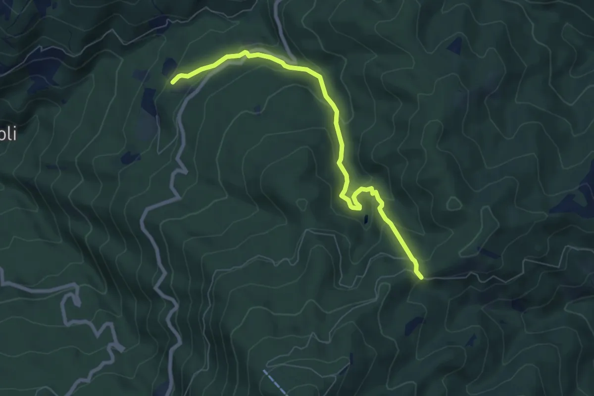
Medium · Trail
Tosi – Croce Vecchia
7.2 km · ↑ 387 m · 2 h 33 min · 12 km away
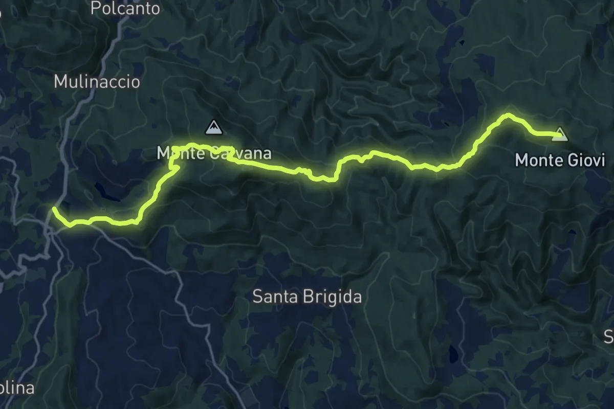
Demanding · Summit
Vetta le Croci – Scopeti
22.8 km · ↑ 1065 m · 7 h 41 min · 13 km away
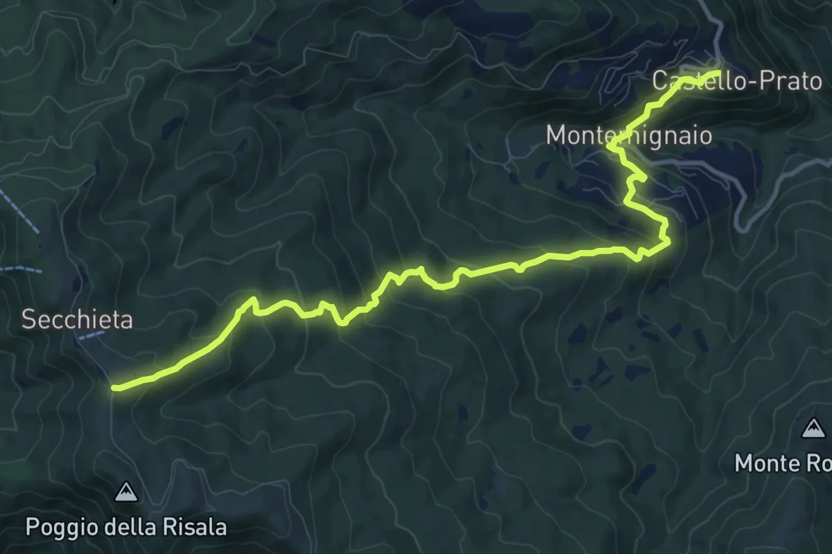
Medium · Trail
Castello di Montemignaio – Sentiero 900 presso La Secchieta
13.2 km · ↑ 782 m · 4 h 49 min · 13 km away
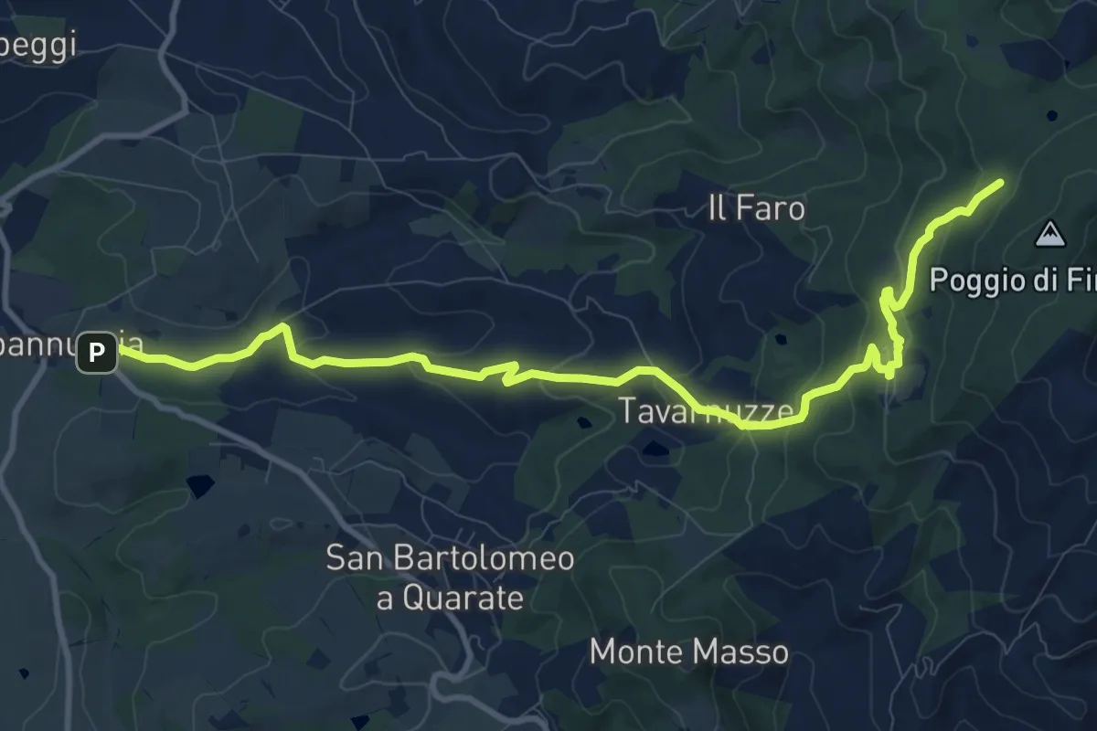
Medium · Cabin
Capannuccia (Grassina) – Sorgente di Fonte Santa
12.7 km · ↑ 509 m · 4 h 5 min · 13 km away