Trails near Pontassieve
134 hikes starting within 15 km, nearest first.
Nearest first, page 3 of 3
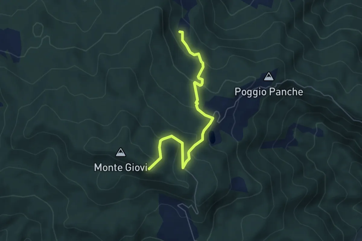
Demanding · Trail
Percorso 311 – Monte Tamburino
5.9 km · ↑ 296 m · 2 h 2 min · 13 km away
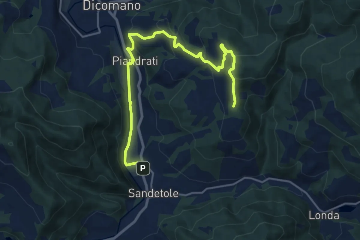
Medium · Trail
Anello degli Etruschi
12.9 km · ↑ 473 m · 4 h 5 min · 13 km away
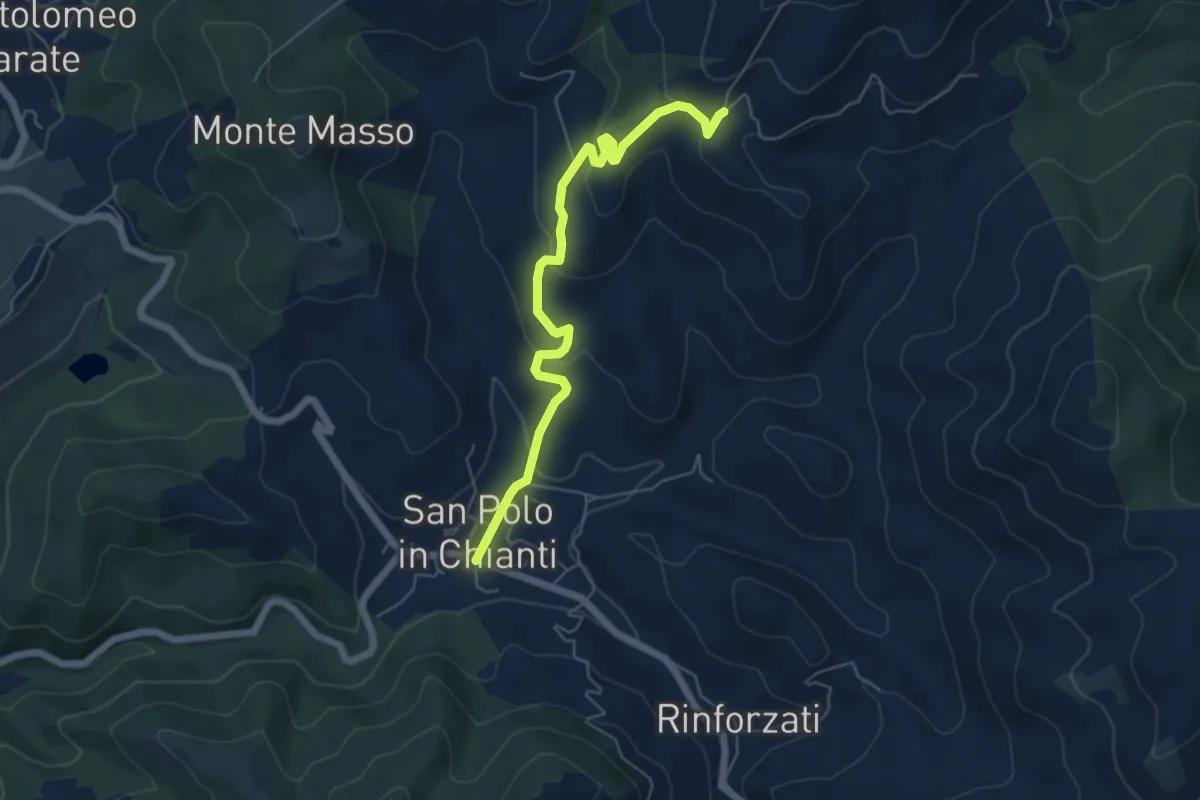
Easy · Trail
San Polo in Chianti – San Clemente in Panzalla
6.1 km · ↑ 234 m · 1 h 57 min · 13 km away
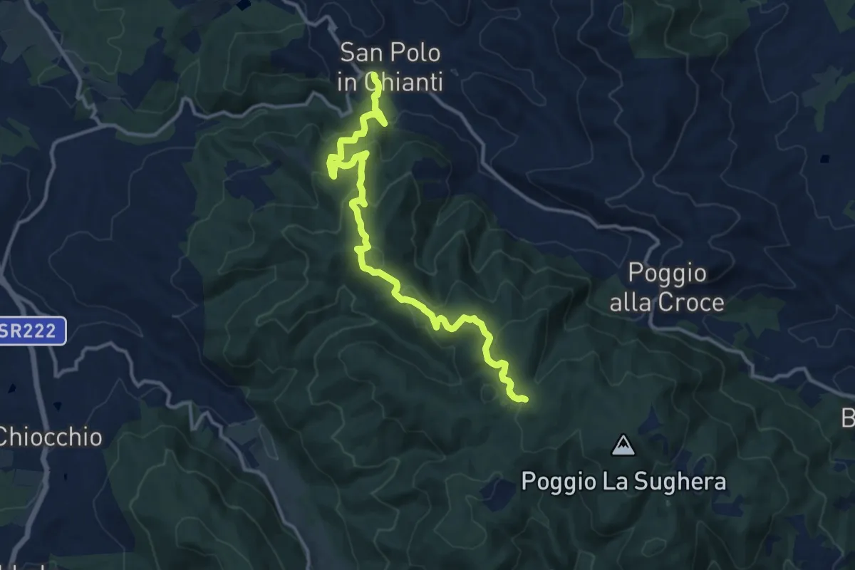
Medium · Trail
San Polo in Chianti – Croce ai Trogoli
13.6 km · ↑ 767 m · 4 h 53 min · 13 km away
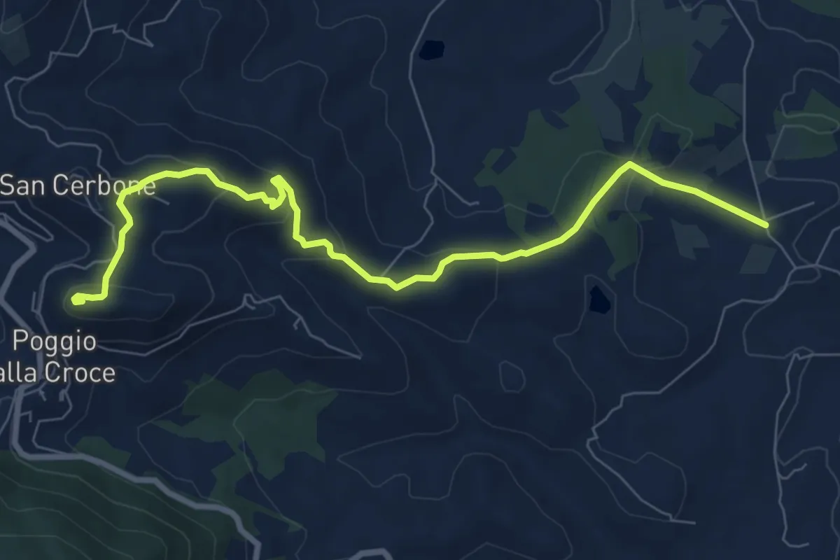
Medium · Summit
Loppiano – Poggio alla Croce
8.7 km · ↑ 351 m · 2 h 49 min · 13 km away
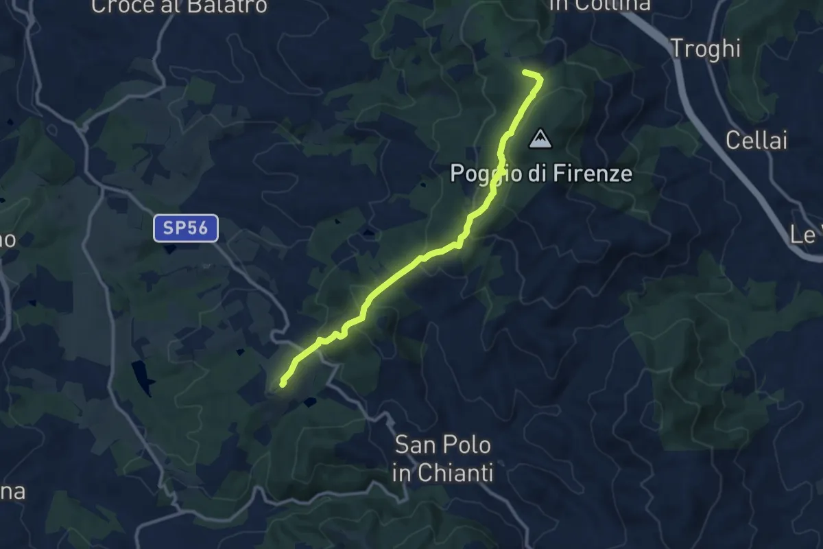
Medium · Summit
San Donato in Collina – SantoStefano a Tizzano
10.7 km · ↑ 474 m · 3 h 33 min · 13 km away
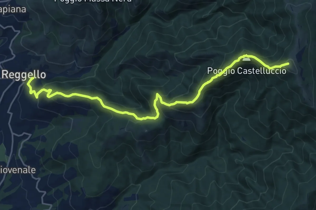
Demanding · Summit
Reggello – Uomo di Sasso
16.0 km · ↑ 1209 m · 6 h 24 min · 13 km away
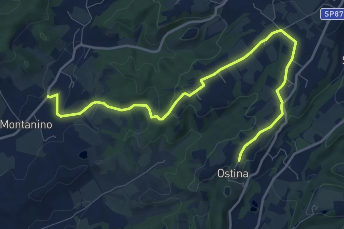
Medium · Trail
Montanino - Prulli – Ostina
10.0 km · ↑ 171 m · 2 h 44 min · 13 km away
Demanding · Trail
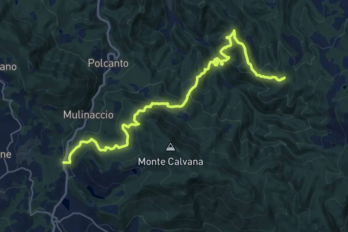
Feriolo – Innesto itinerario 309
20.3 km · ↑ 1138 m · 7 h 15 min · 13 km away
Demanding · Summit
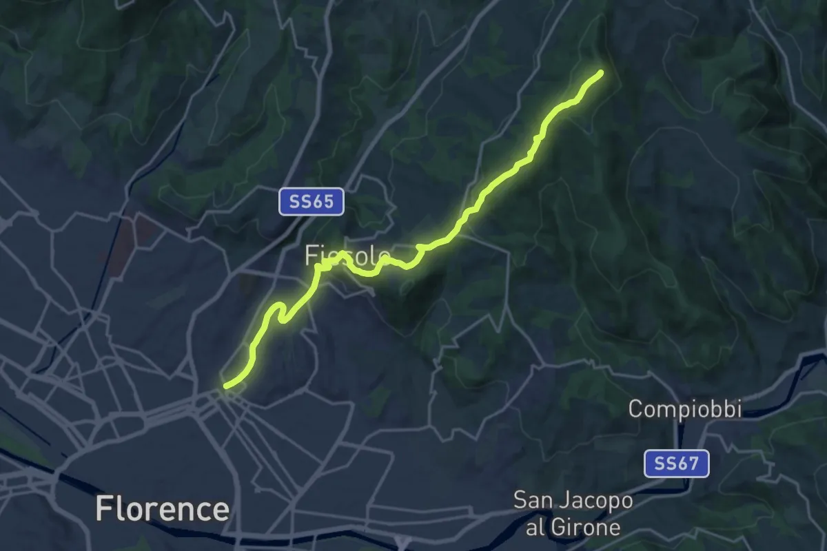
Via degli Dei: Tappa 6
20.1 km · ↑ 708 m · 6 h 17 min · 13 km away
Easy · Trail
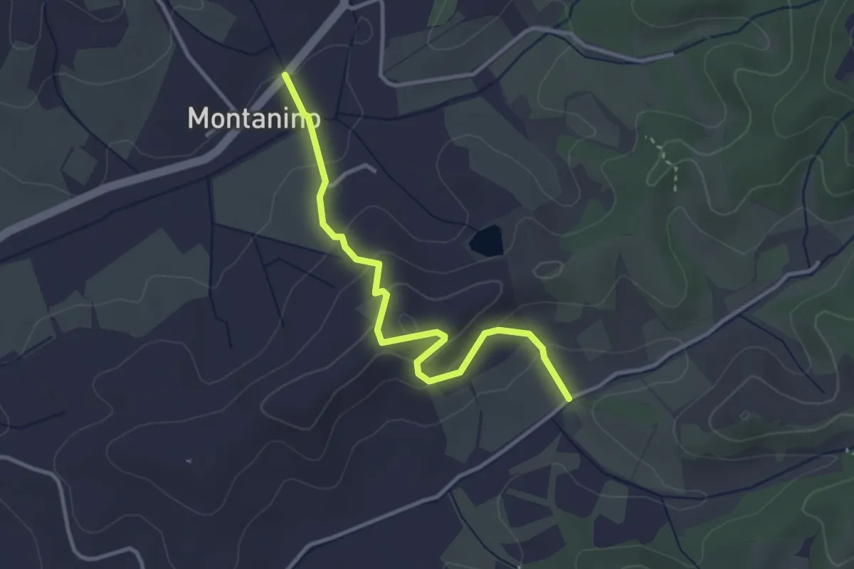
Montanino – Nocellino
3.4 km · ↑ 142 m · 1 h 7 min · 13 km away
Medium · Trail
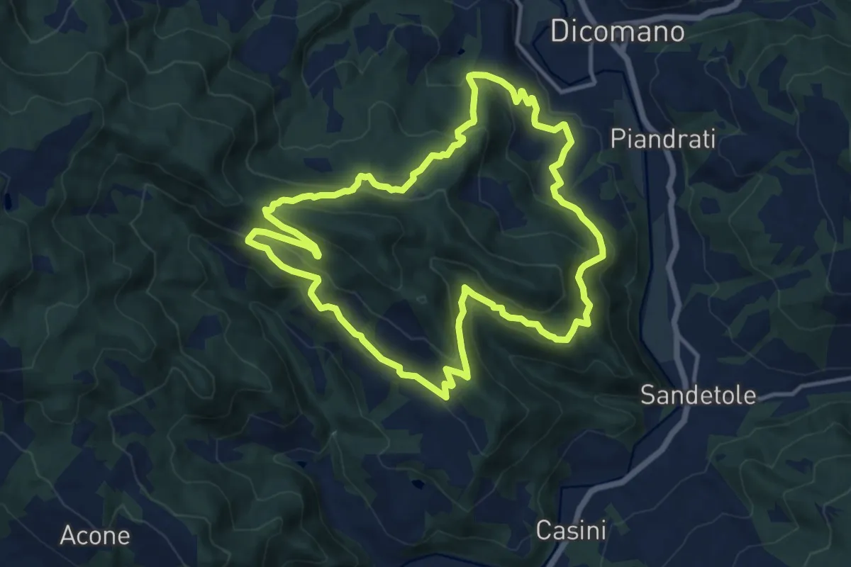
Sorgenti di Firenze Trekking – Anello 4: Architetture rurali e campagna toscana
12.4 km · ↑ 616 m · 4 h 26 min · 14 km away
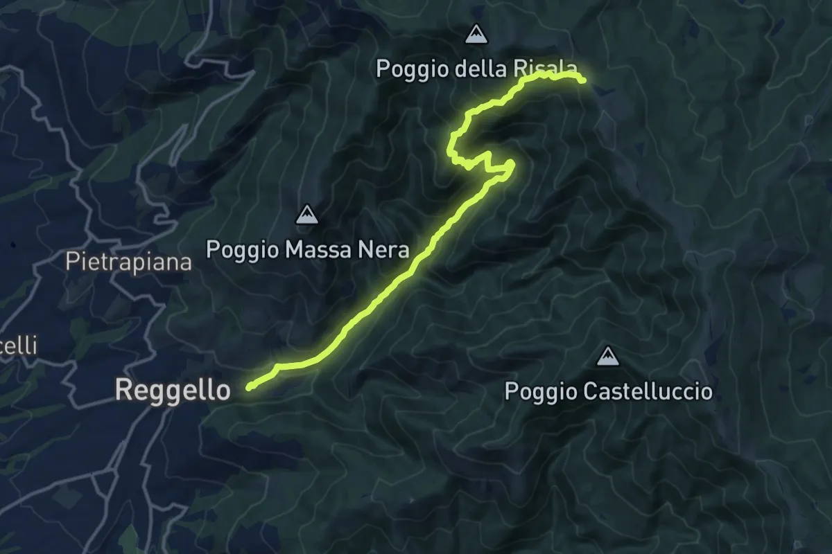
Demanding · Trail
Reggello – Croce di Cardeto
14.9 km · ↑ 1049 m · 5 h 47 min · 14 km away
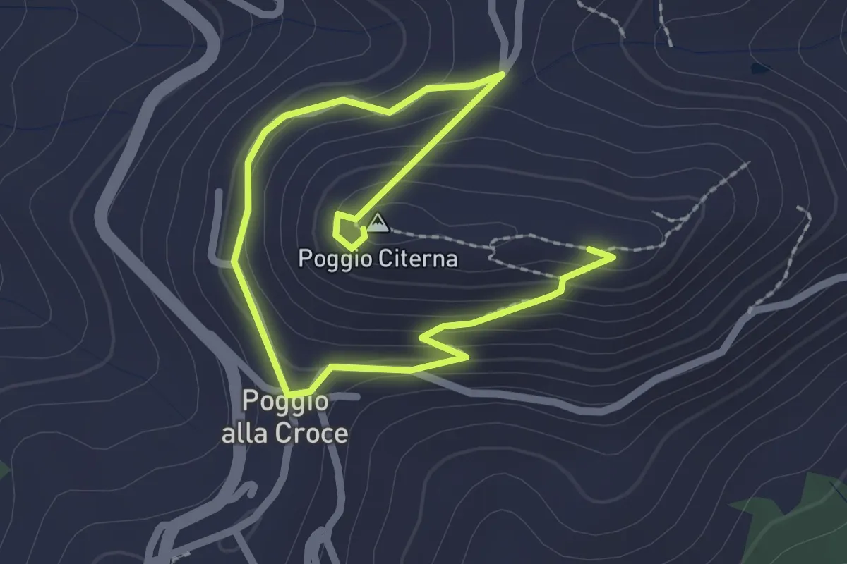
Medium · Summit
Sentiero naturalistico di Poggio Citerna
1.6 km · ↑ 73 m · 34 min · 14 km away
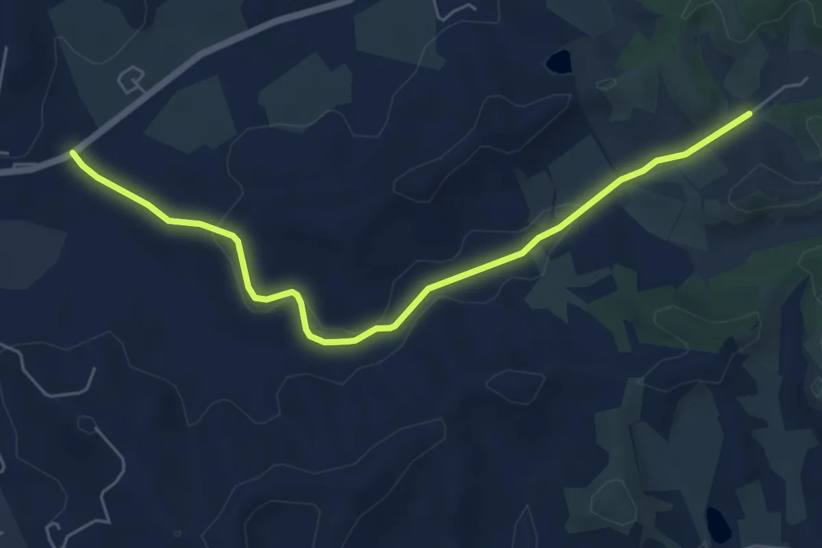
Easy · Trail
Montanino – Rio Luco
6.0 km · ↑ 55 m · 1 h 31 min · 14 km away
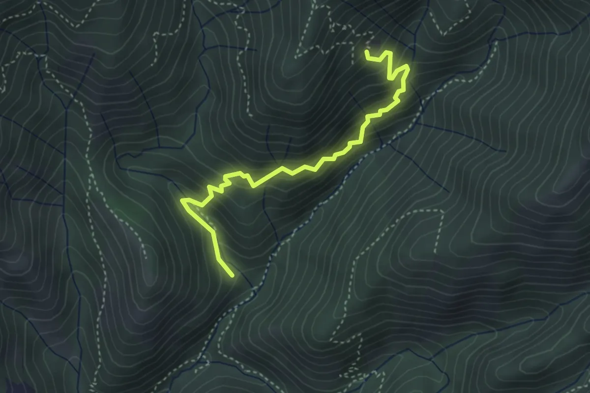
Medium · Cabin
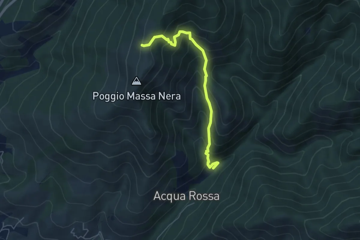
Sentiero delle capre
4.0 km · ↑ 396 m · 1 h 48 min · 14 km away
Medium · Cabin
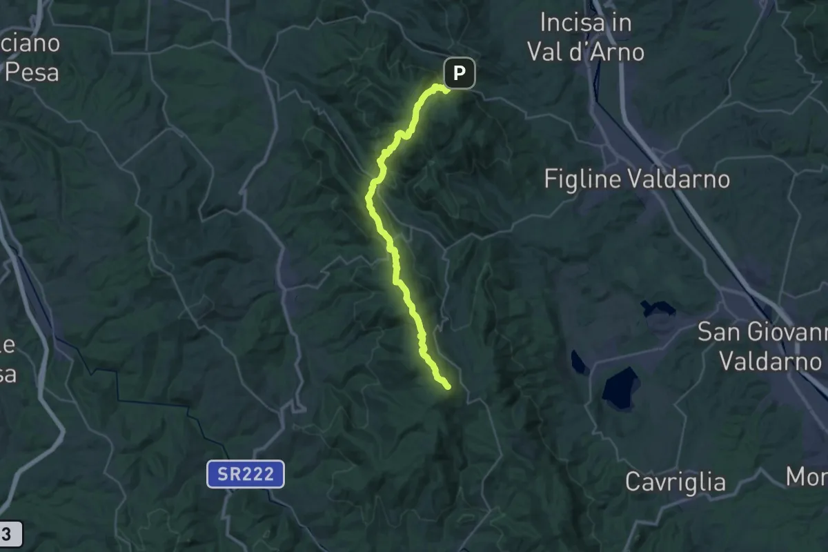
Reggello – Massanera
5.0 km · ↑ 521 m · 2 h 18 min · 14 km away
Demanding · Summit
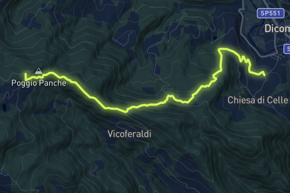
Poggio alla Croce – Badiaccia a Montemuro
30.7 km · ↑ 1259 m · 9 h 58 min · 14 km away
Medium · Summit
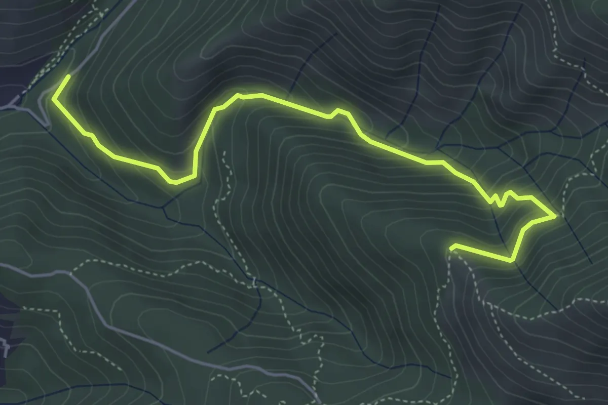
Celle – Tamburino
12.6 km · ↑ 586 m · 4 h 14 min · 14 km away
Medium · Trail
Ponte a Enna – Innesto 7
5.5 km · ↑ 466 m · 2 h 19 min · 14 km away
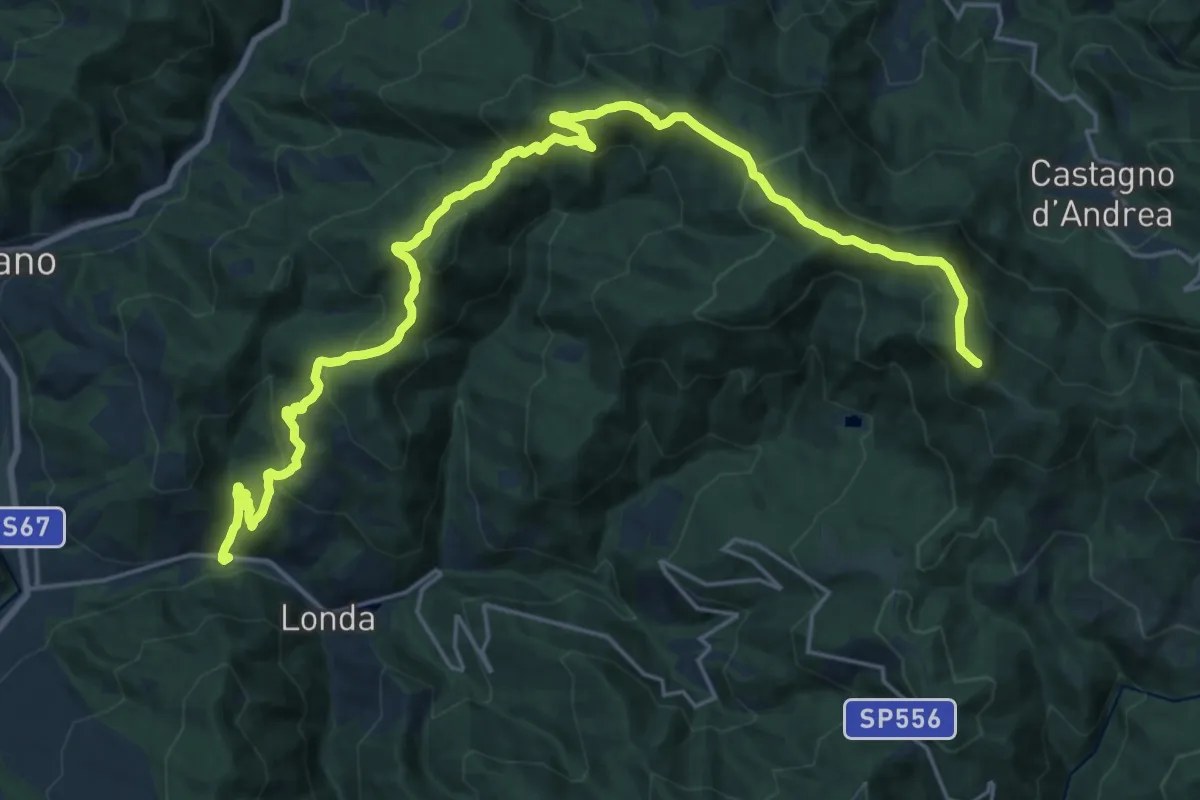
Demanding · Summit
Fornace - Londa – Monte di Massicaia sent. 00
27.7 km · ↑ 1524 m · 9 h 50 min · 14 km away
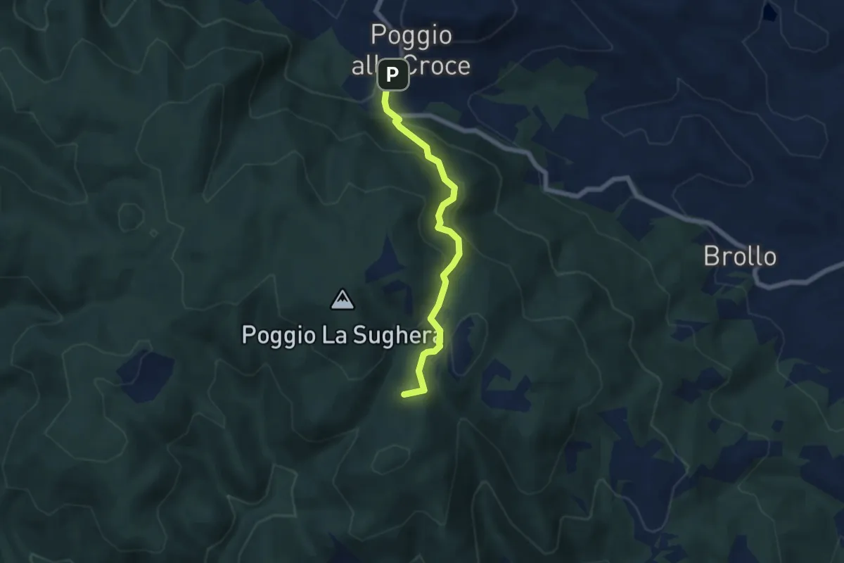
Demanding · Summit
Poggio alla Croce – Celle
5.6 km · ↑ 296 m · 1 h 57 min · 14 km away
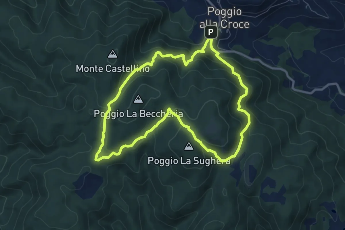
Demanding · Summit
SM1 Sentiero della Memoria Monti Scalari e Pian d'Albero
7.5 km · ↑ 394 m · 2 h 43 min · 14 km away
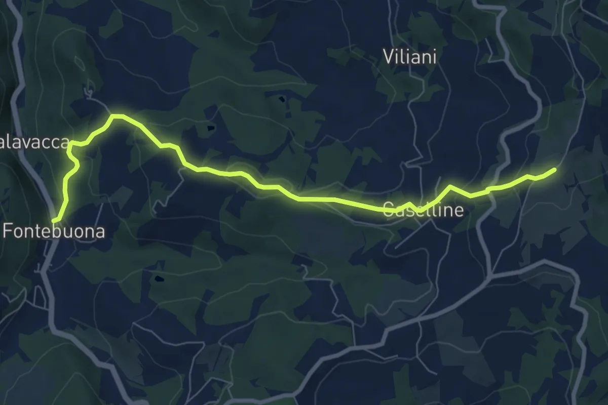
Medium · Trail
Percorso 5 – Caselline
8.2 km · ↑ 290 m · 2 h 34 min · 14 km away
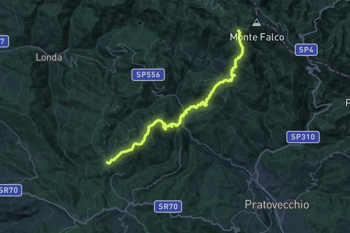
Demanding · Summit
Giuncaia sent. 00 – Monte Falterona
30.1 km · ↑ 2053 m · 11 h 33 min · 14 km away
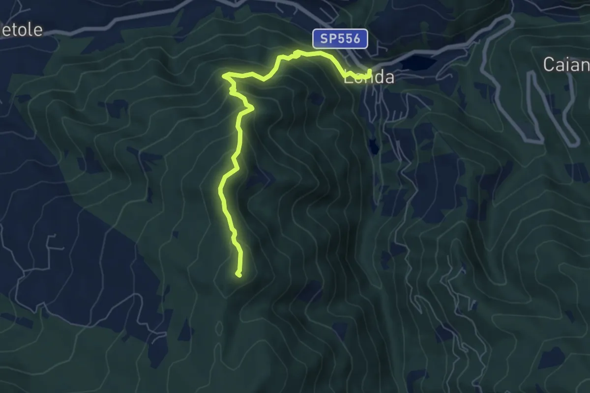
Medium · Summit
Londa – Pieve Vecchia sent. 5
6.5 km · ↑ 554 m · 2 h 45 min · 14 km away
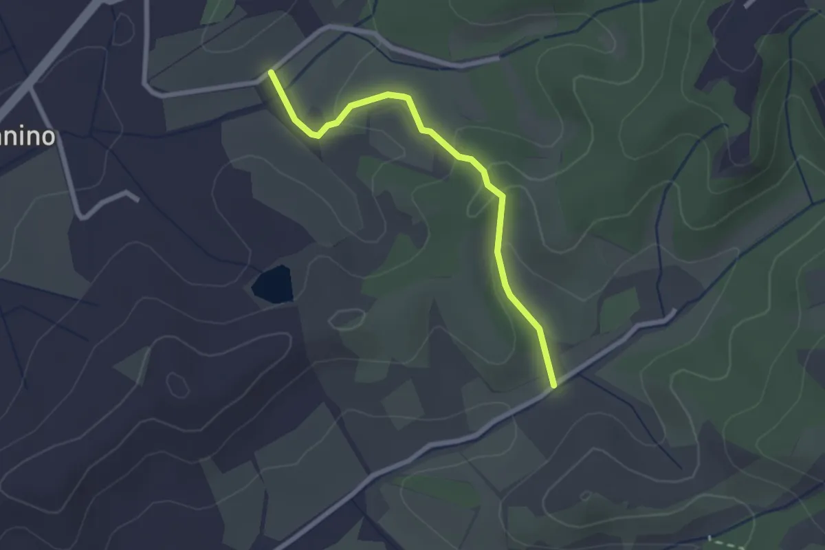
Easy · Trail
Montanino – Rio Luco
2.3 km · ↑ 69 m · 42 min · 14 km away
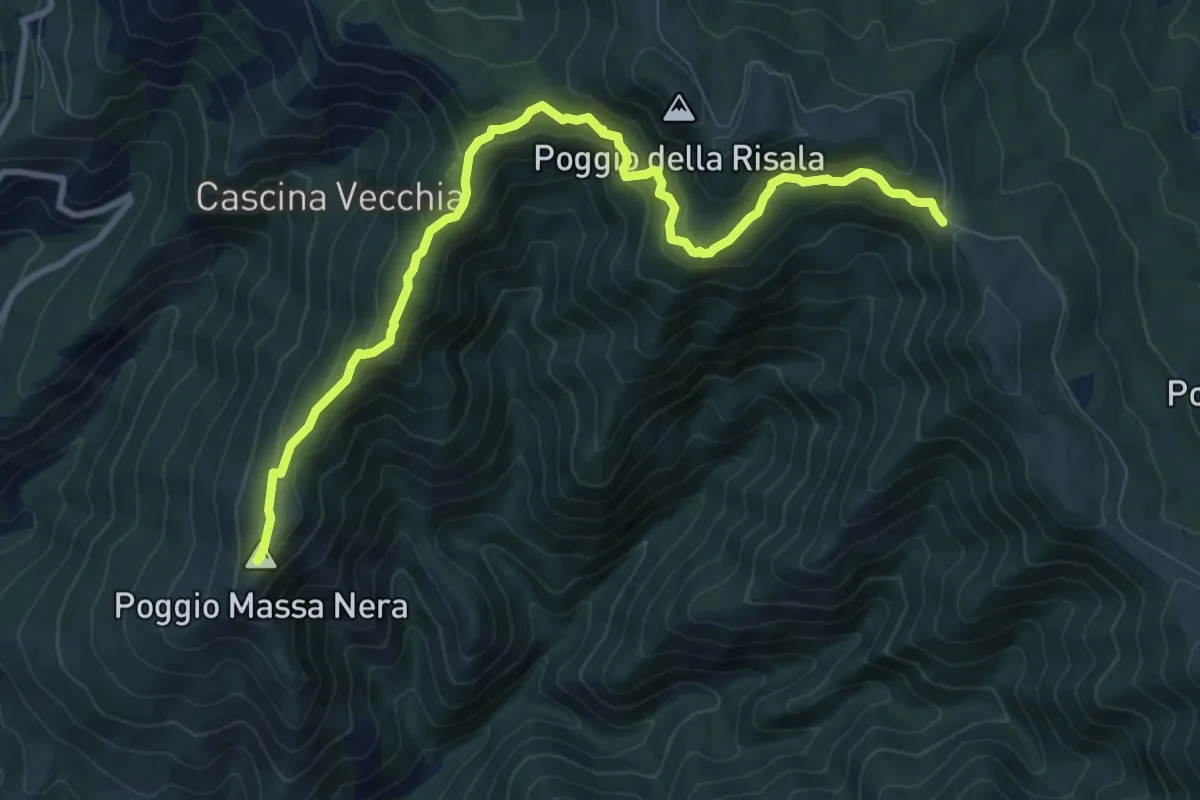
Medium · Summit
Reggello – Croce di Cardeto
10.7 km · ↑ 677 m · 4 h · 14 km away
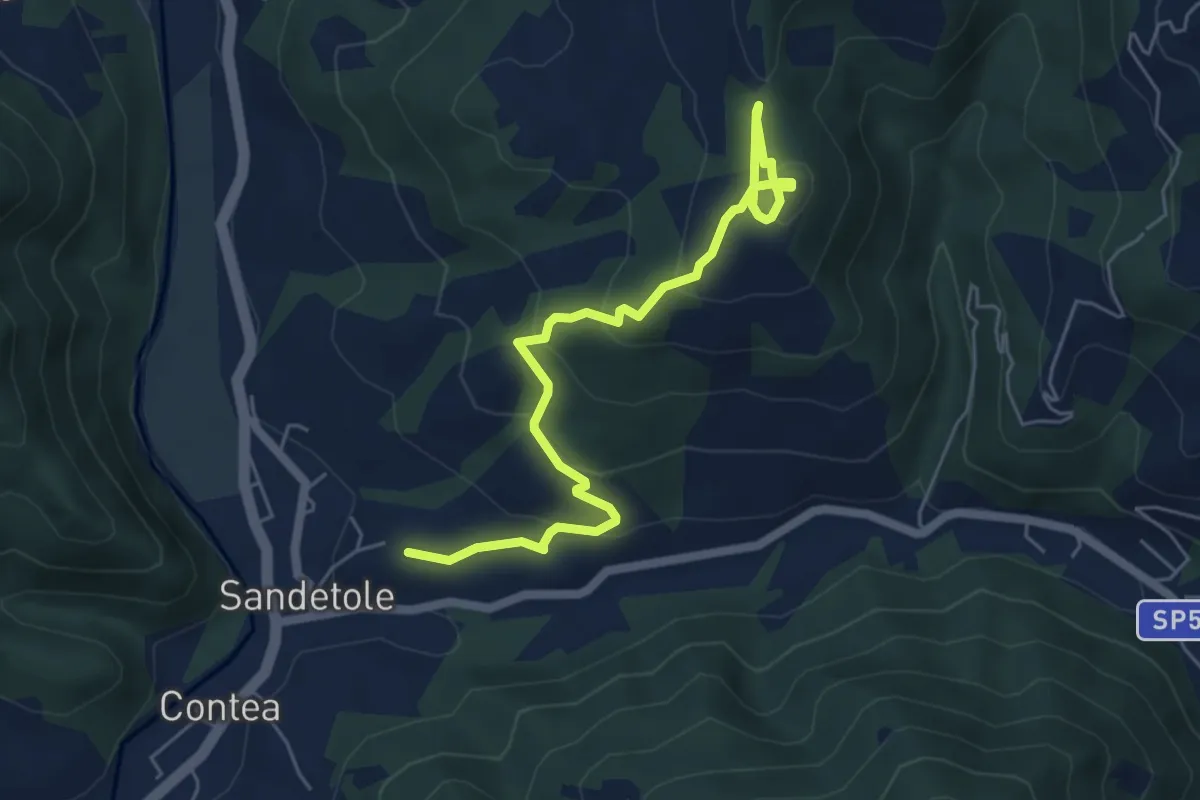
Easy · Trail
Anello degli etruschi
6.4 km · ↑ 290 m · 2 h 9 min · 14 km away
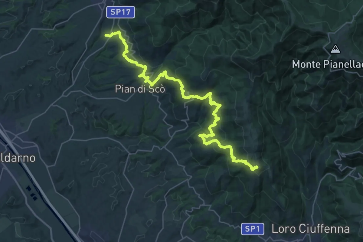
Demanding · Summit
S. Giovenale – Loro Ciuffenna
30.4 km · ↑ 1432 m · 10 h 17 min · 14 km away
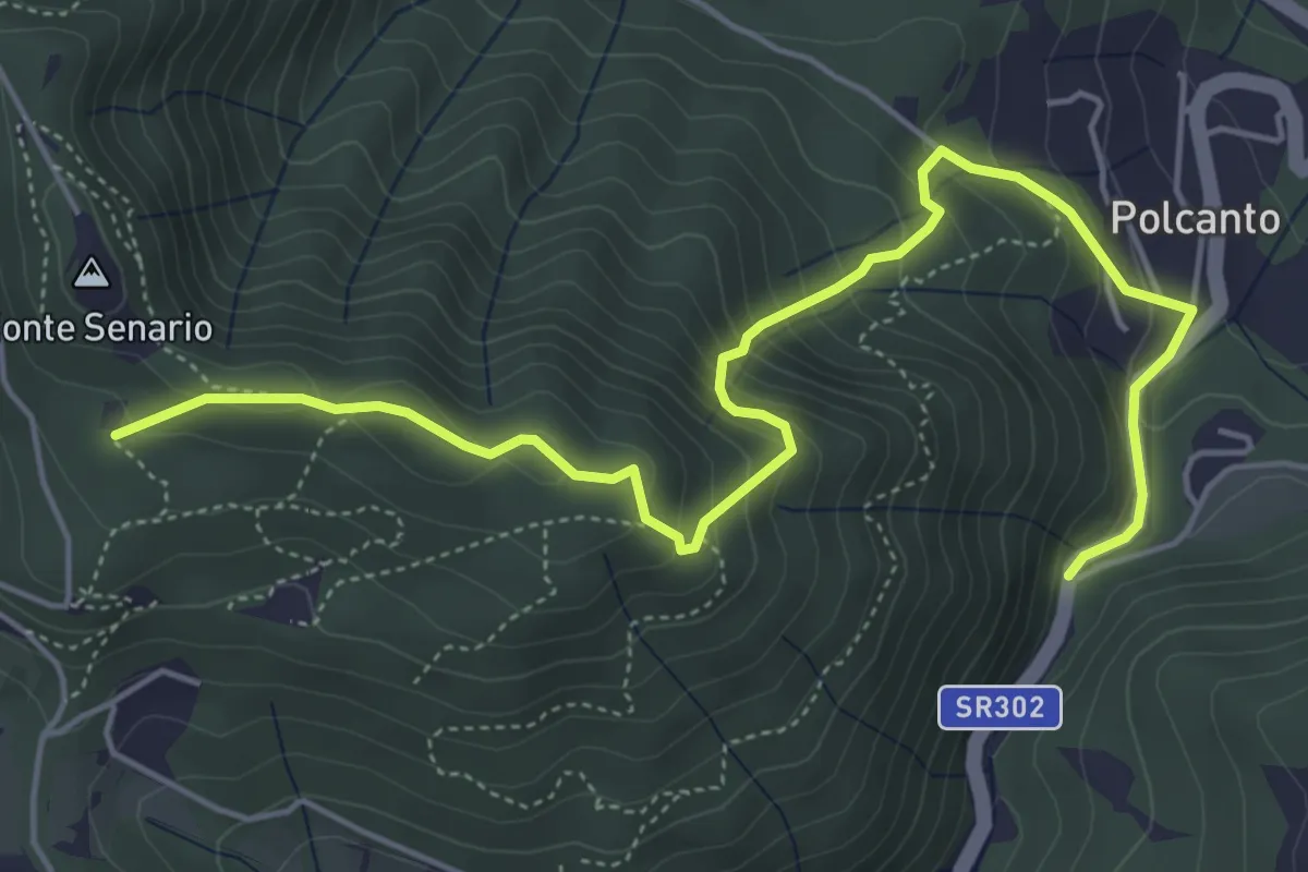
Medium · Trail
Polcanto – Monte Senario
6.5 km · ↑ 534 m · 2 h 41 min · 15 km away
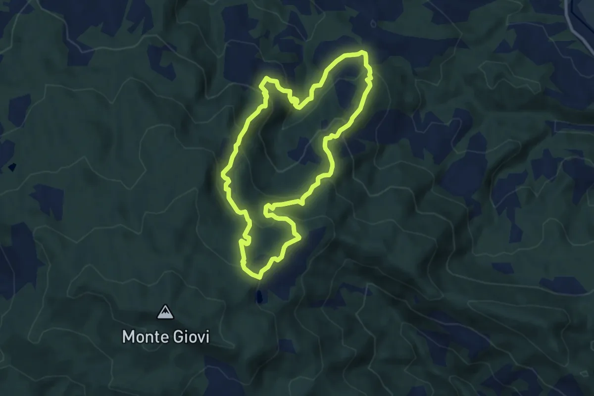
Demanding · Summit
Sorgenti di Firenze Trekking – Anello 5: Nei territori di Don Milani
8.3 km · ↑ 482 m · 3 h 7 min · 15 km away
Easy · Trail
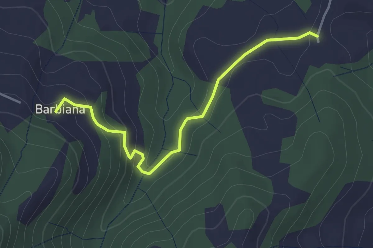
Variante itinerario 311 – Barbiana
3.4 km · ↑ 170 m · 1 h 10 min · 15 km away
Easy · Trail
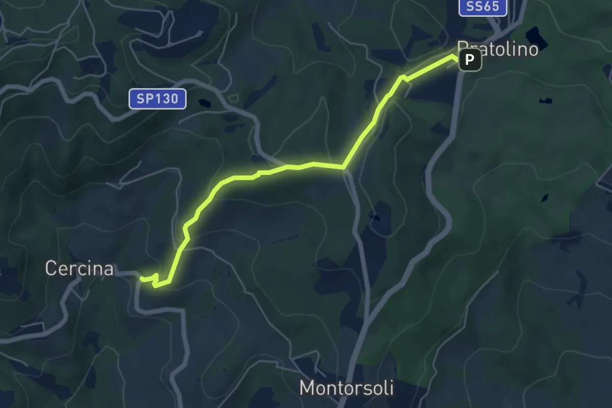
Sentiero del Piovano
5.4 km · ↑ 208 m · 1 h 43 min · 15 km away
Easy · Trail
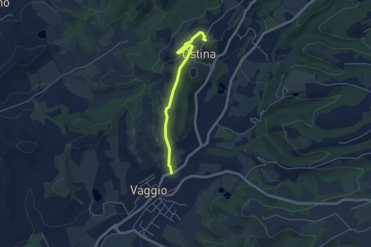
Ostina – Vaggio
3.9 km · ↑ 107 m · 1 h 10 min · 15 km away
Easy · Trail
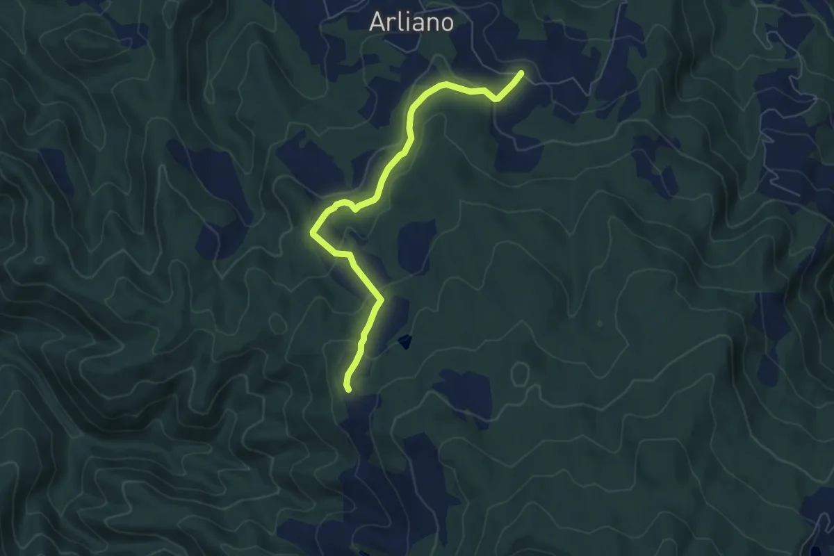
Campestri – Innesto itinerario 9
6.6 km · ↑ 253 m · 2 h 7 min · 15 km away
Medium · Summit
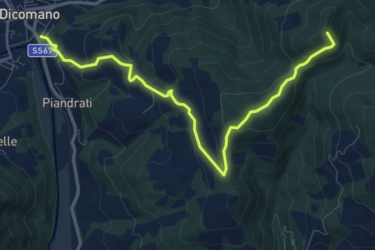
Dicomano – Innesto sentiero 1
10.1 km · ↑ 550 m · 3 h 34 min · 15 km away
Demanding · Summit
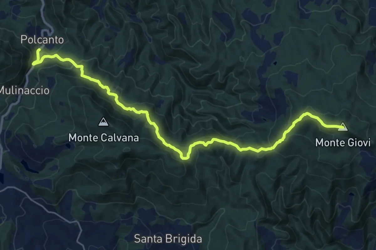
Sorgenti di Firenze Trekking – Anello Principale: Tappa 7
21.2 km · ↑ 1002 m · 7 h 11 min · 15 km away